
Turco to Tablachaca (Bolivian altiplano part 2)
 Share:


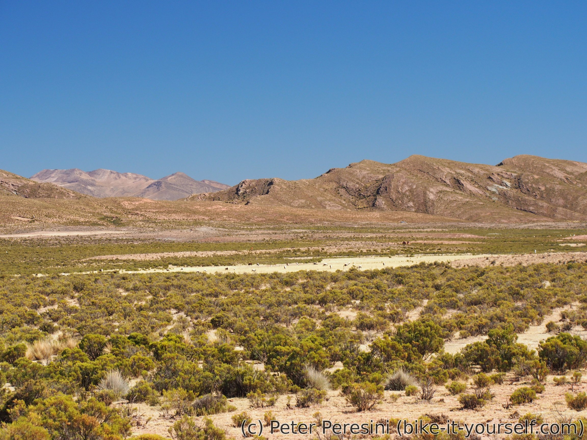
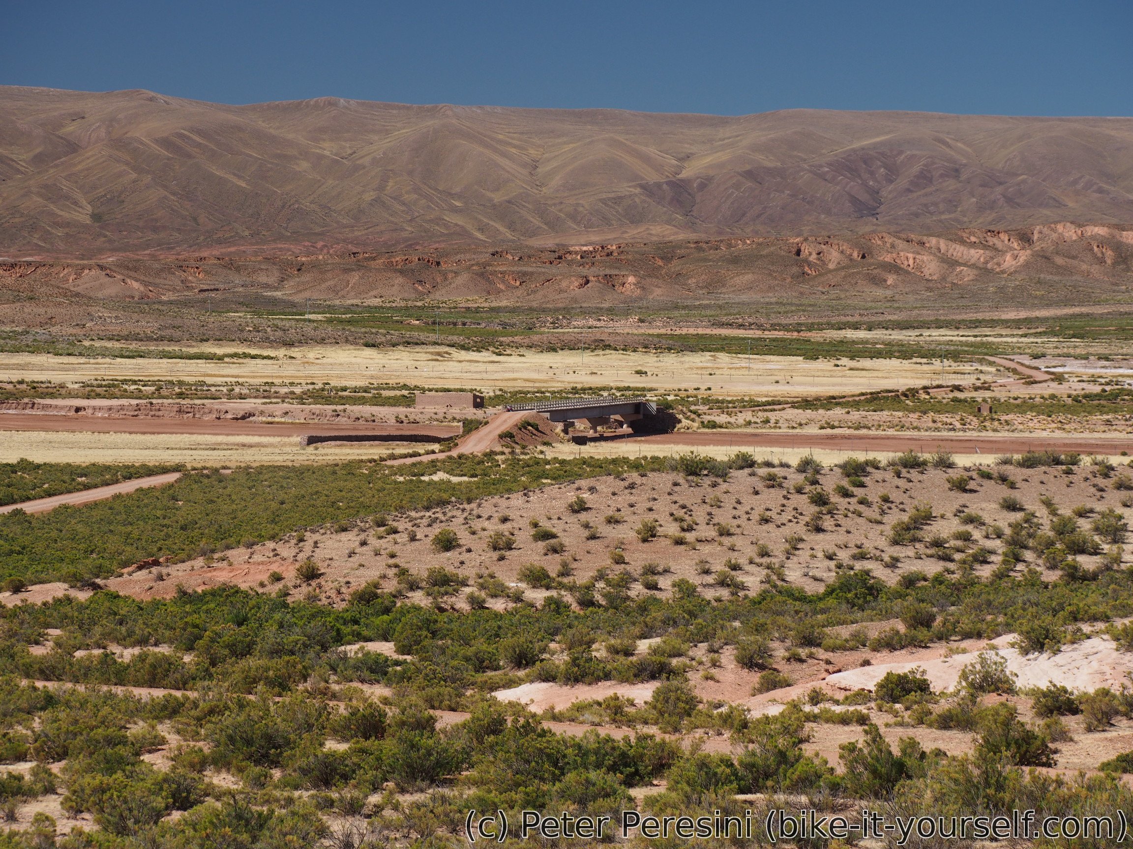
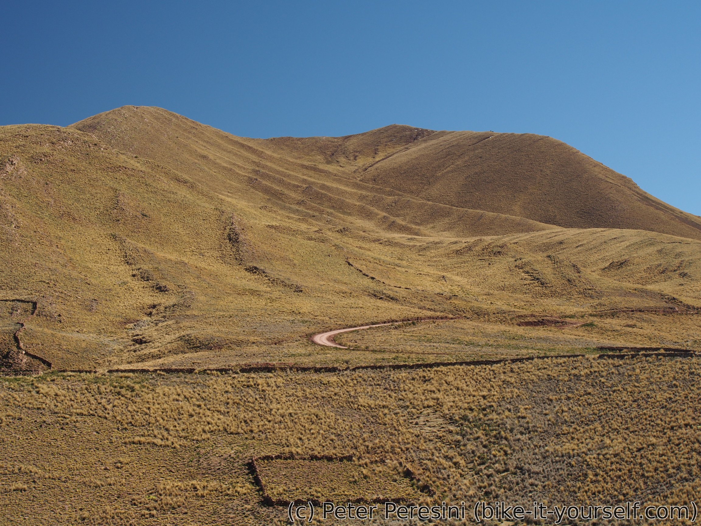
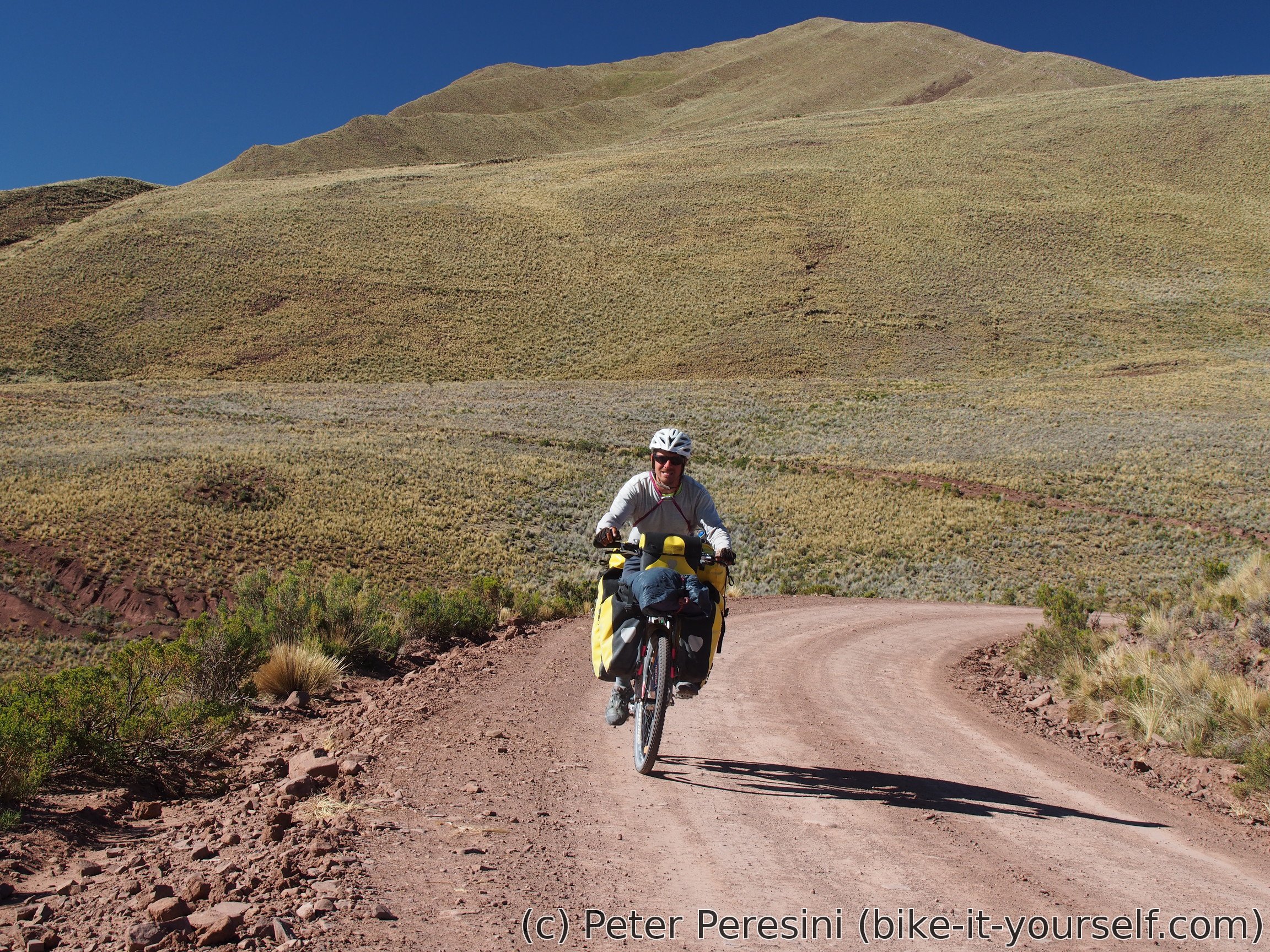
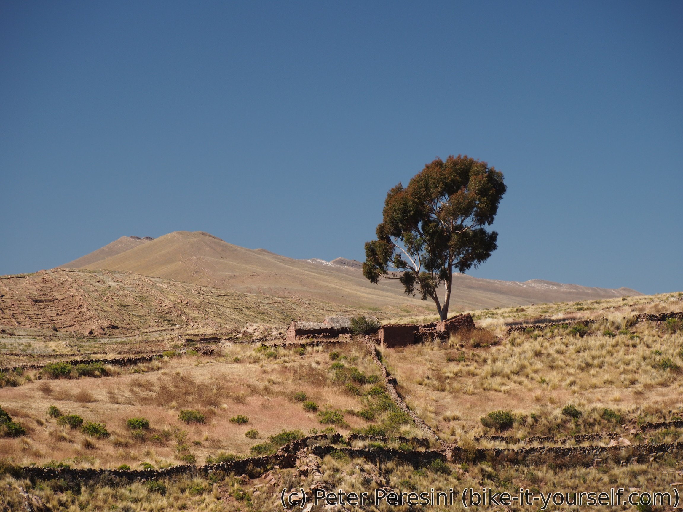
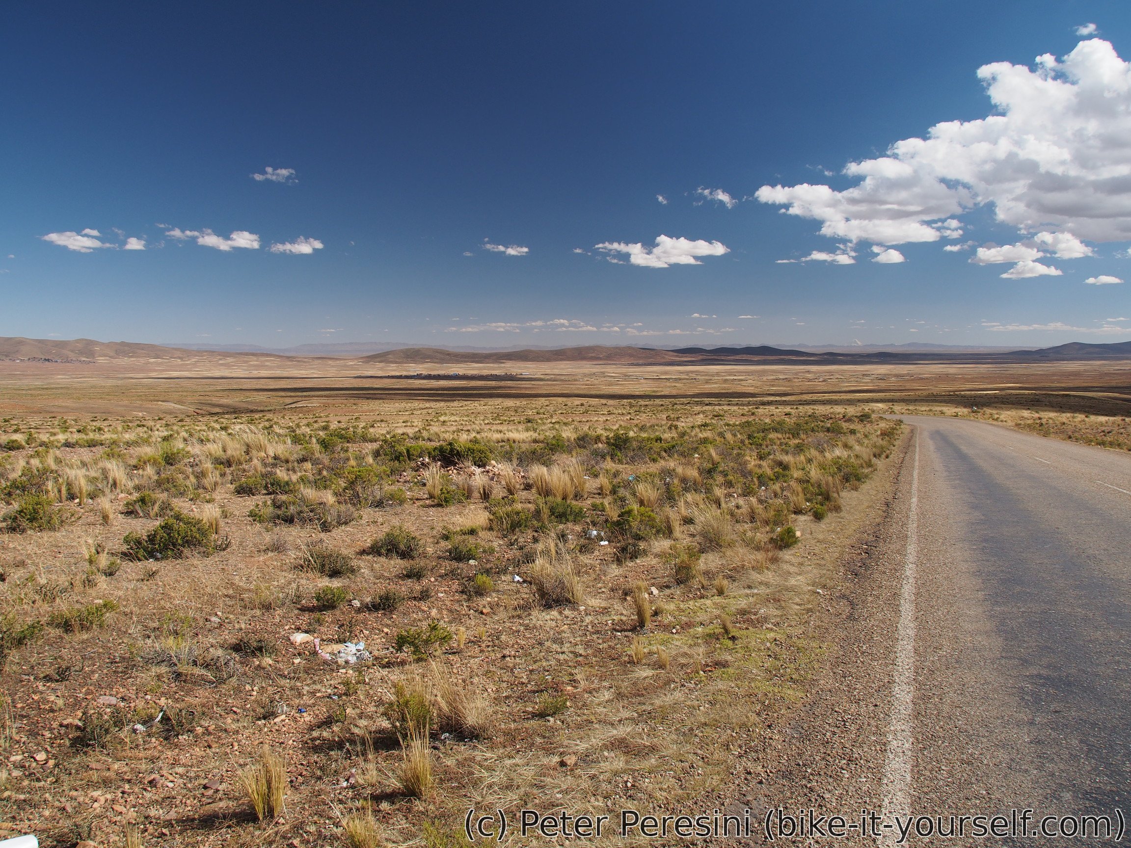
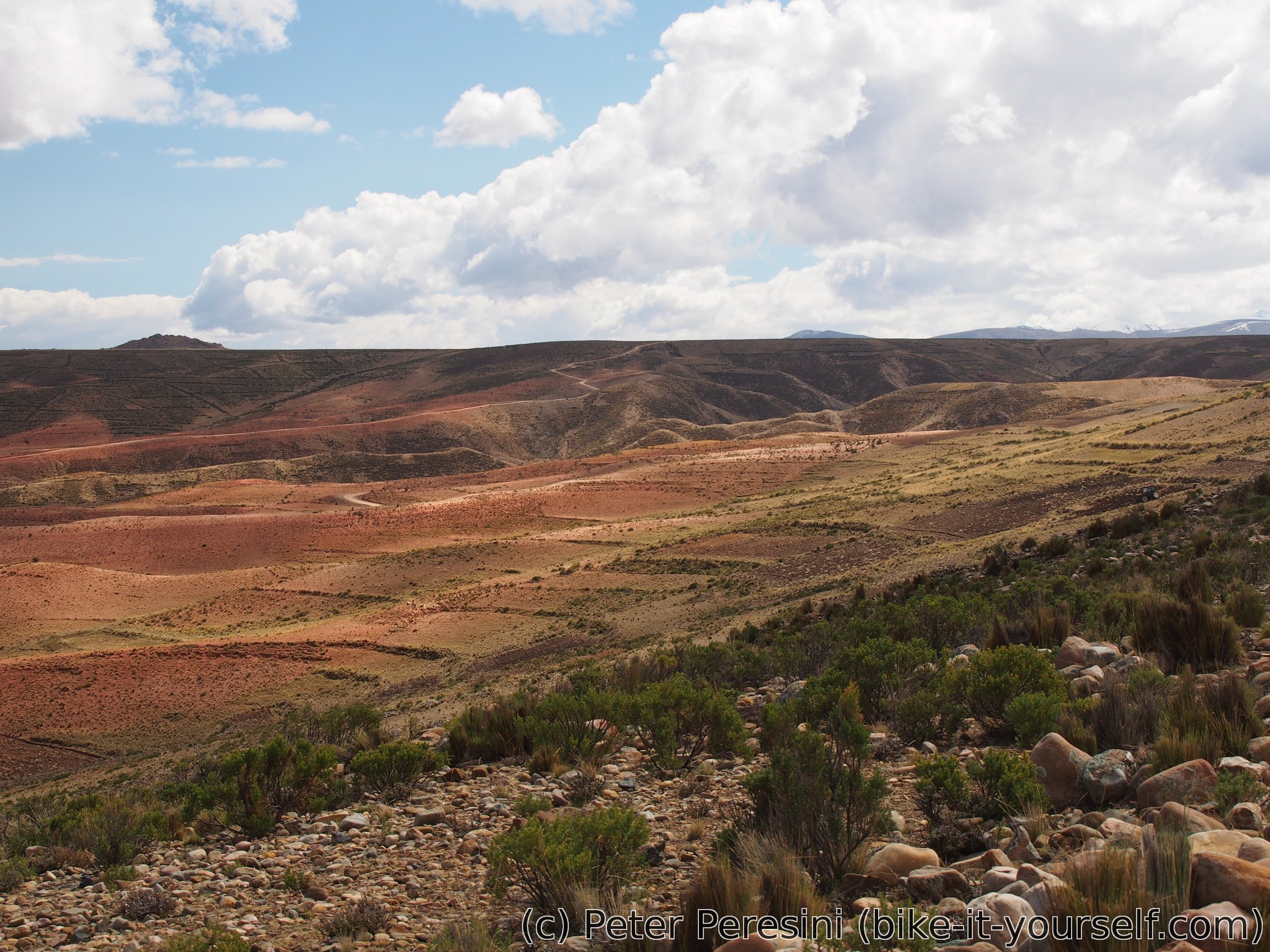
Second part of my altiplano route towards Yungas. Unlike the first part the roads aren't in a sandy condition which makes me quite happy. And while the views do not have any huge mountains (something that I almost take as a definition of a good view) they are nice enough with green rolling hills. Definitely better than riding a busy road.
June 1
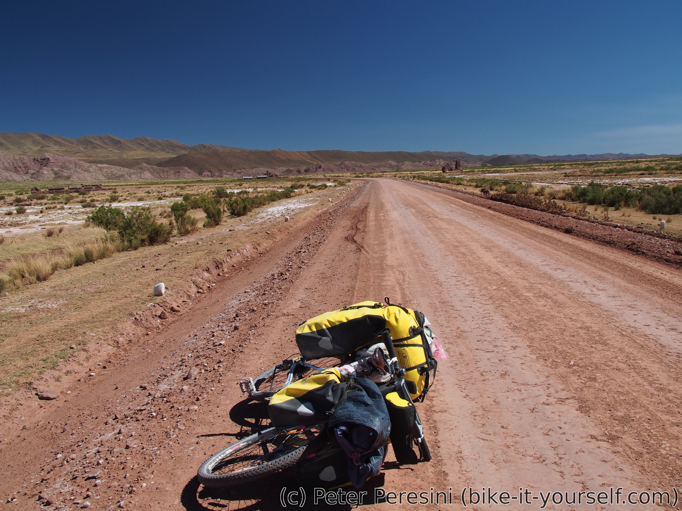
After a street breakfast I set to finish the paved part of the route. After a bit more than 10 kilometers I turn and exchange the smooth black carpet with a not-so-smooth ripio. The landscape around me gets progressively greener and I am passing through green rolling hills.

I stop by in Choquecota where I fetch water, eat some small things, buy carrot for a tasty dinner, etc. As it is still quite early, I am opting out of staying in the village and instead continue on -- I have about 20 kilometers to Abra Huayllamarca.
As 20 kilometers were a bit too much, I end up camping before the pass in my usual style -- the first place that is flat and big enough to host my tent. In this case it is a machine-leveled piece of ground.
June 2
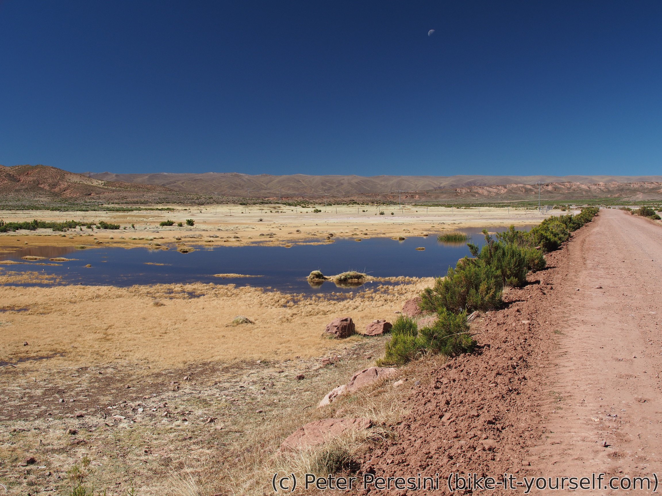
In the morning I am observing that I must be in an area with more humidity than standard altiplano -- one indicator is the green bushes but much bigger confirmation is buildup of a condensation on my tent.
Today should be an easy day as I have only 250 meters (of elevation) to the pass. So in a good mood I am starting off just to be stopped by soldiers with guns. Fortunately, this isn't any guerilla party, instead it turns out they are searching for some long trucks which I did not see.
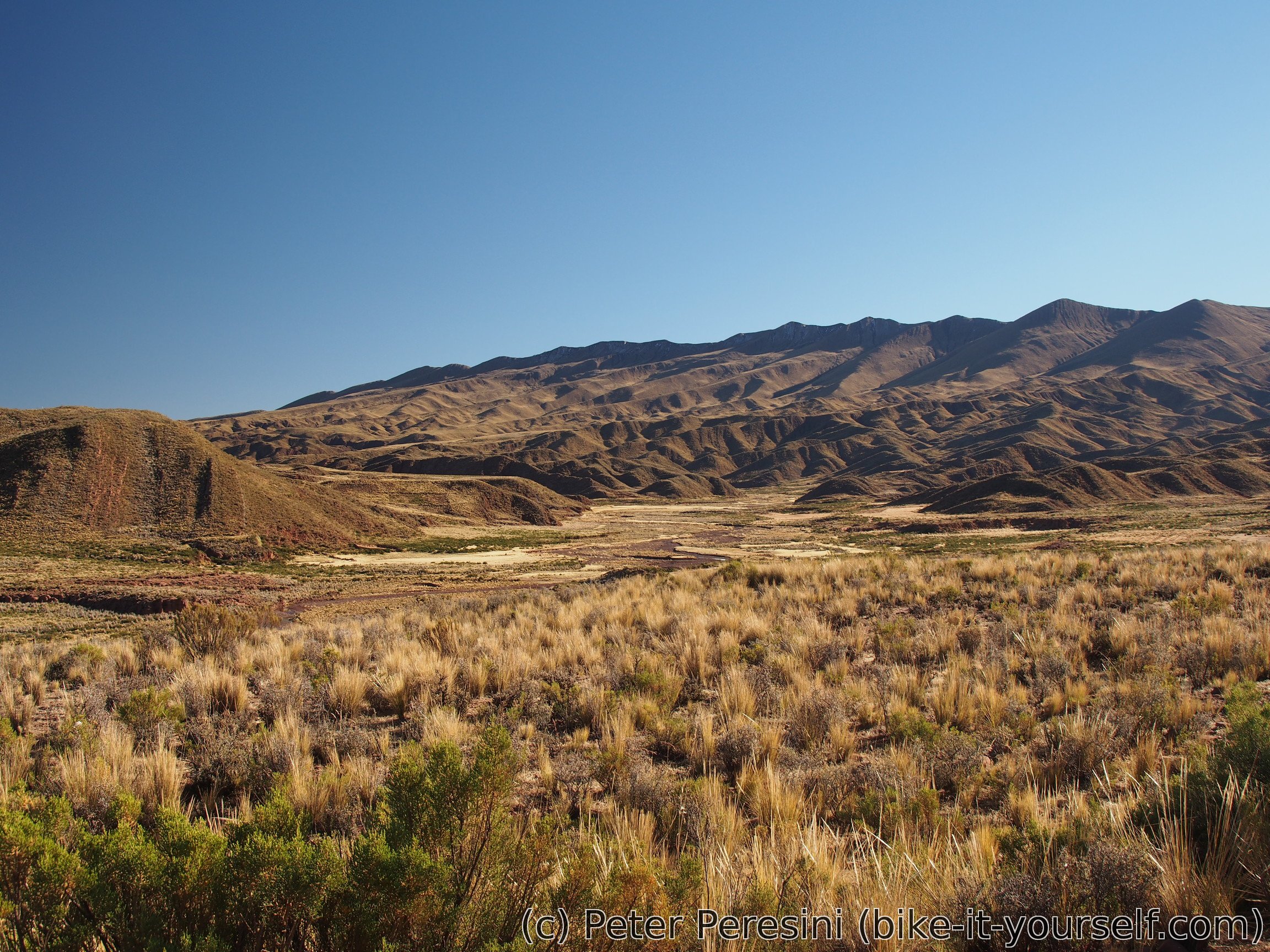
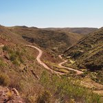
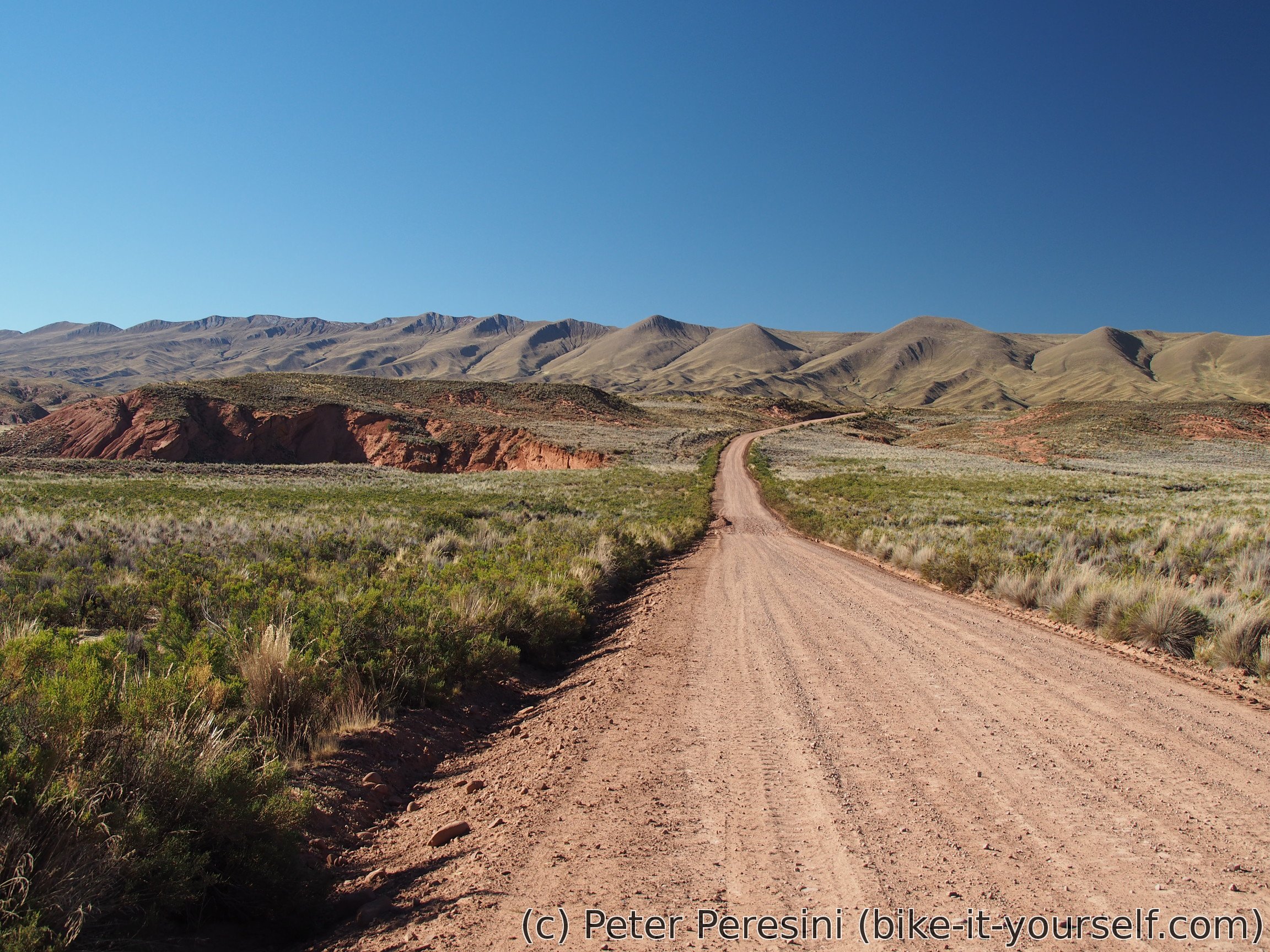
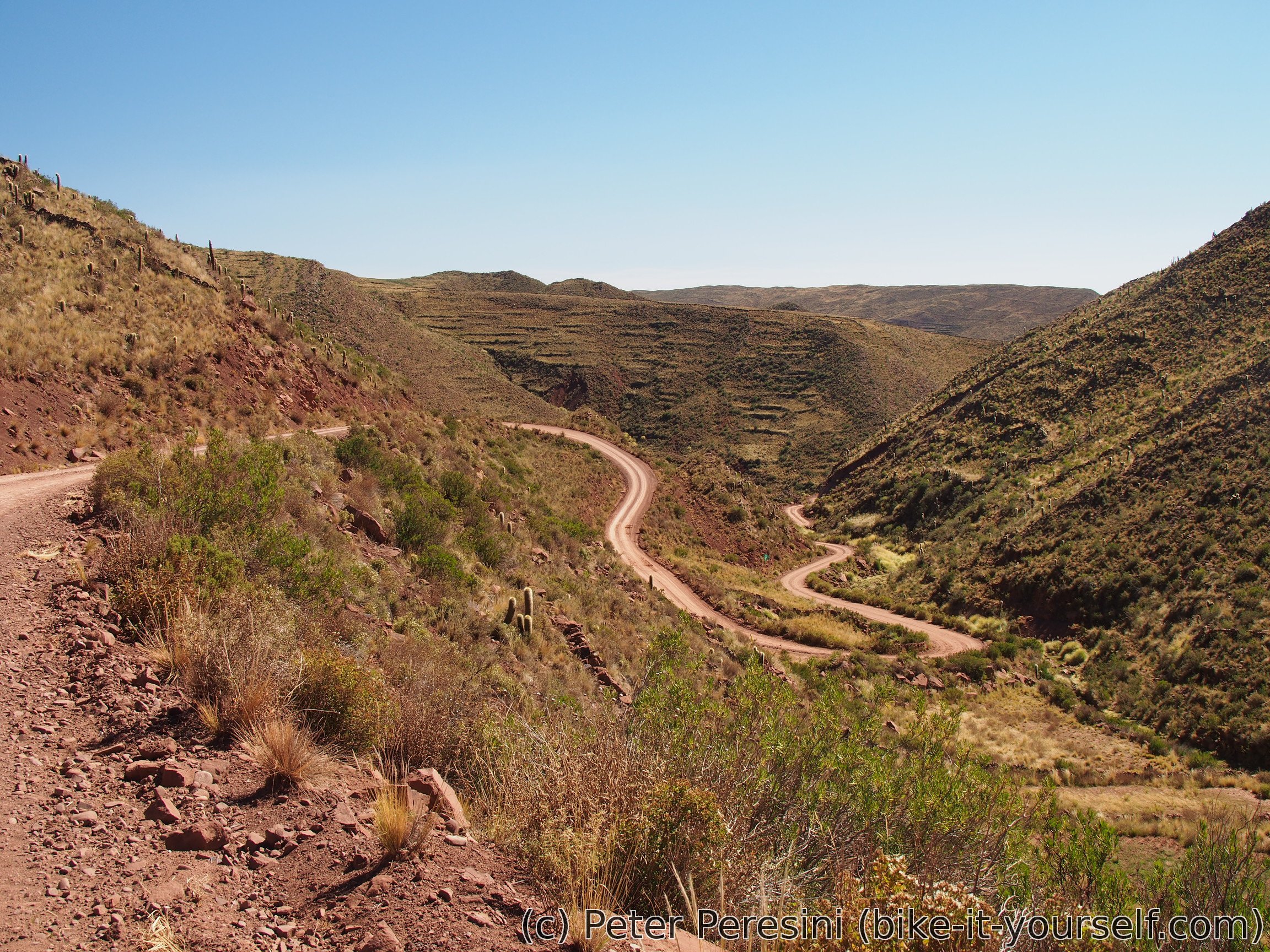
I reach Abra Huayllamarca pretty soon and then there is a time for a good descent. Which turns out to be really beautiful. Serrania de Huayllamarca is surprisingly nice mountain range.
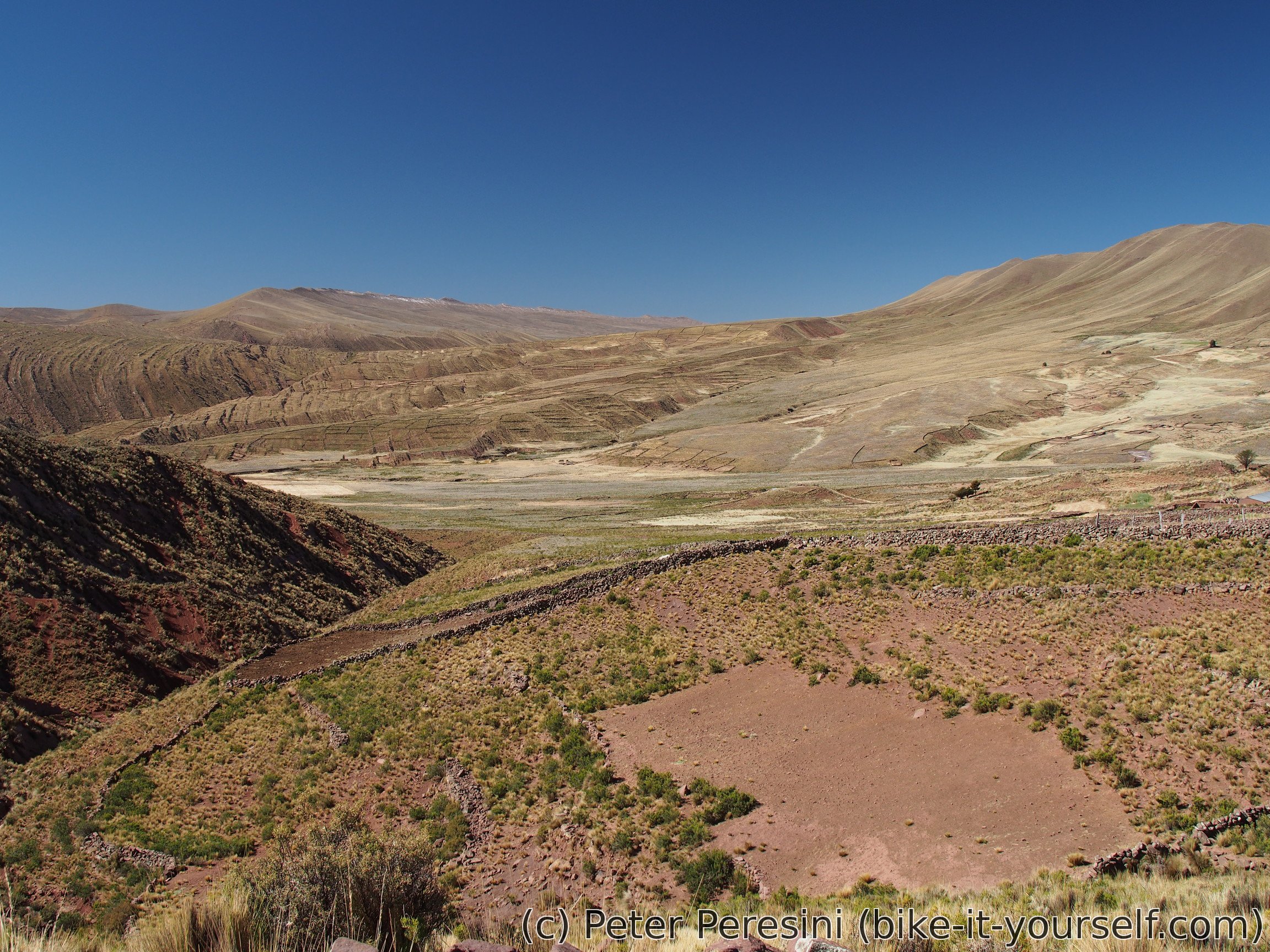

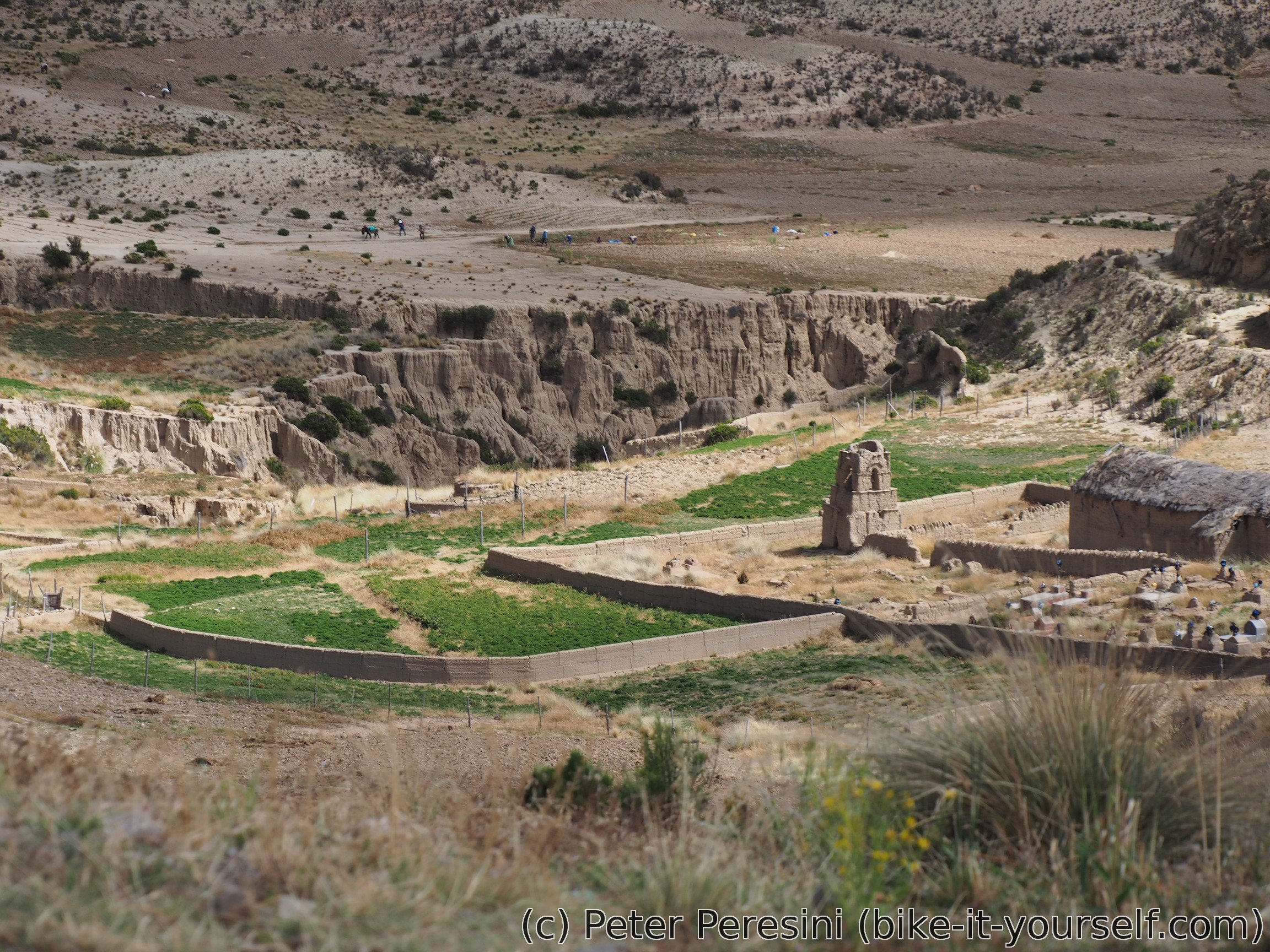
After riding down the switchbacks, I end up in a small village Chuquichambi. Here I am eating my lunch although I can't find any open shop. With my plans for today this isn't a big problem though some nice cookies would be welcome.
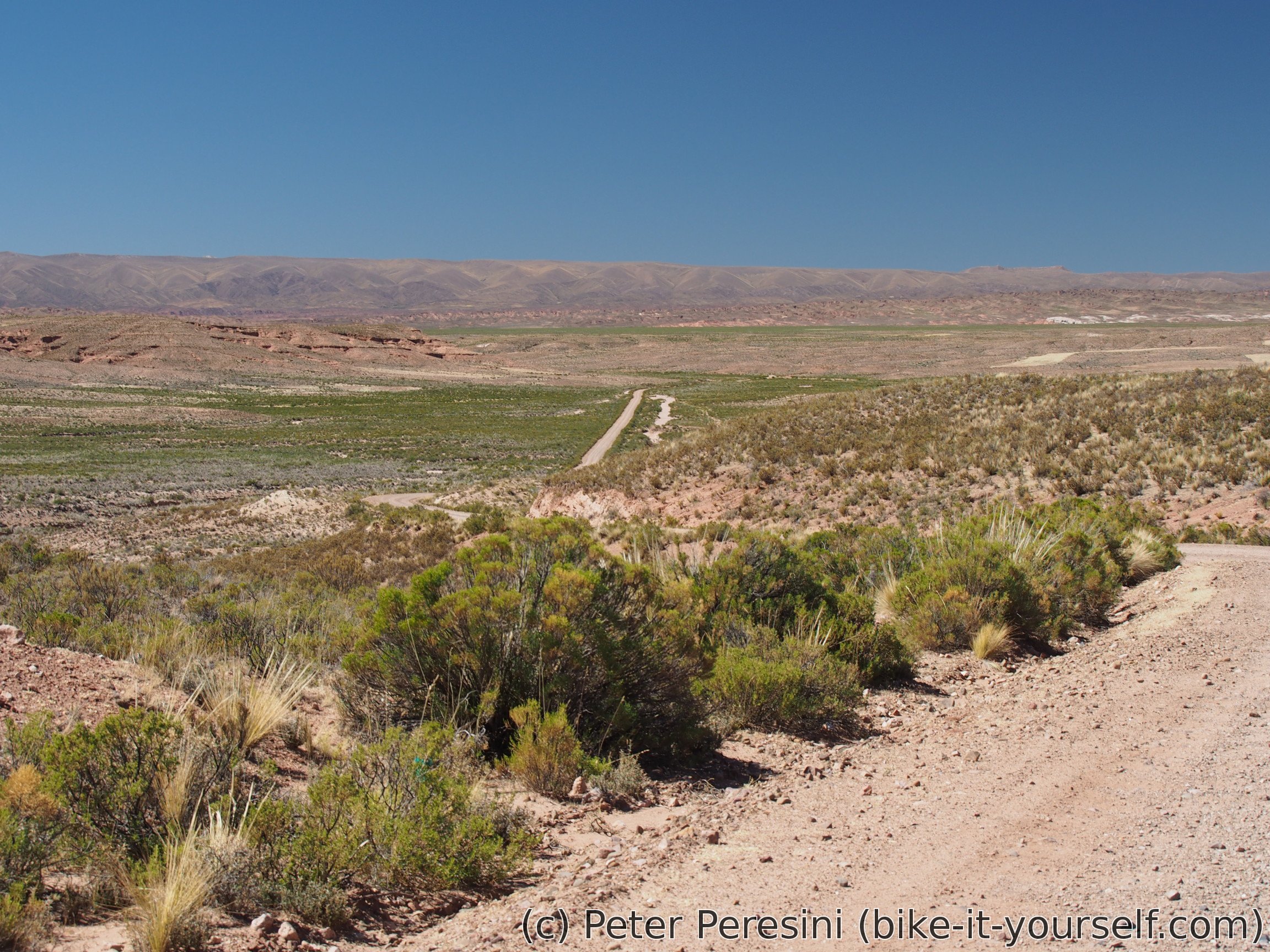
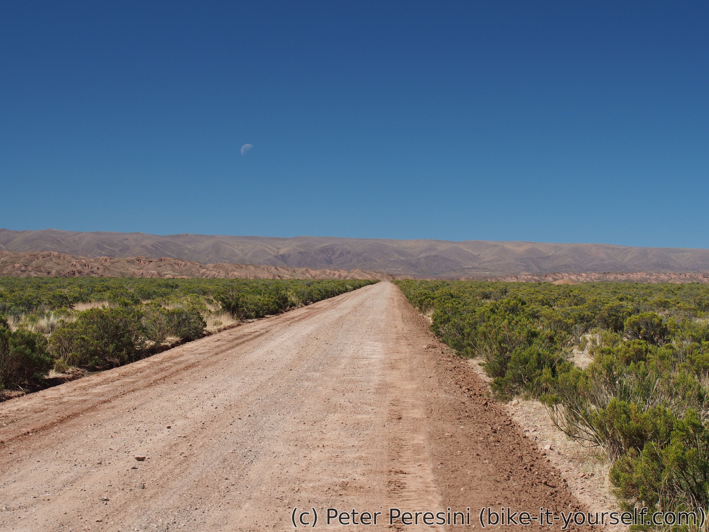
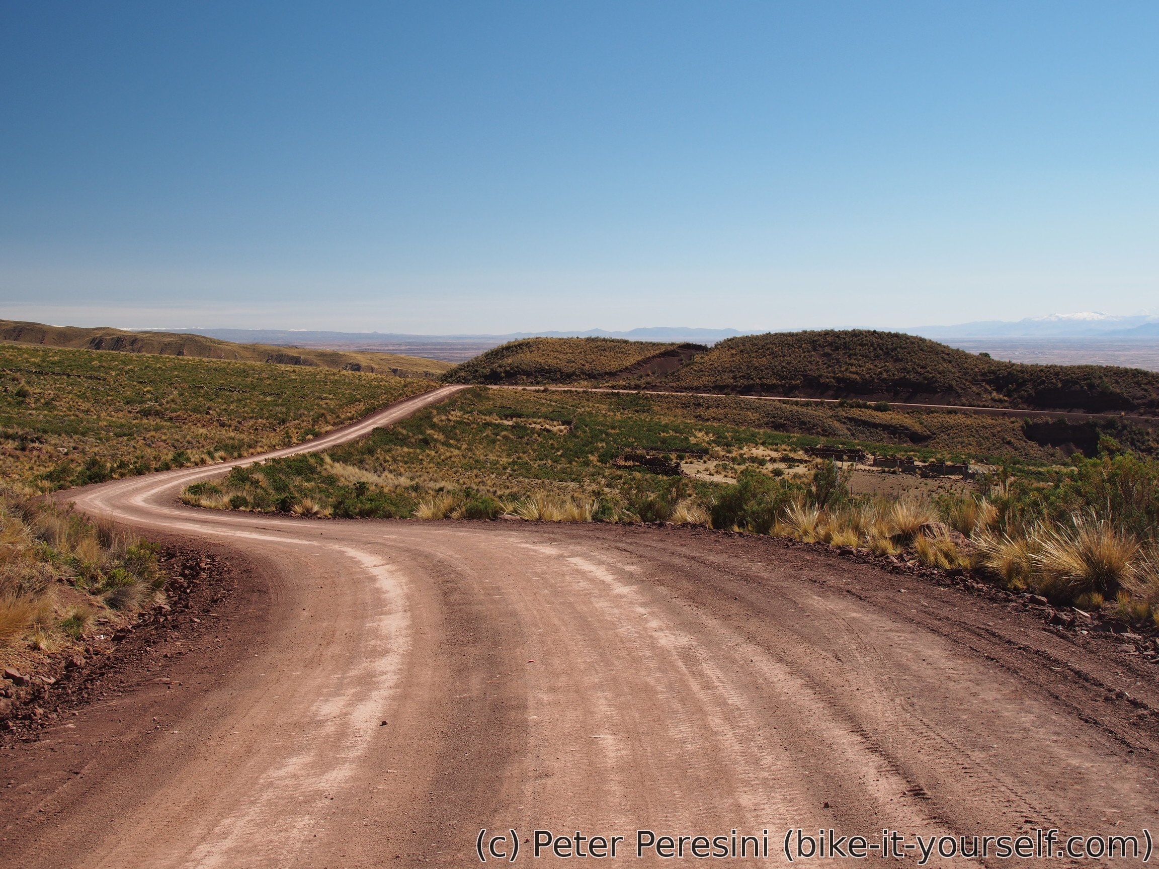
The afternoon is really flat. I have 55 kilometers to Eucaliptus which is my planned destination for today. On the way I pass several villages (Lajma, La Joya, ...) until I turn northwards to finish the last 20 kilometers of the day. This turns out to be a bit more work because there is a nontrivial amount of wind. But fortunately, all is good and I arrive to Eucaliptus (and no, there isn't any teleport to Australia here) by the evening.

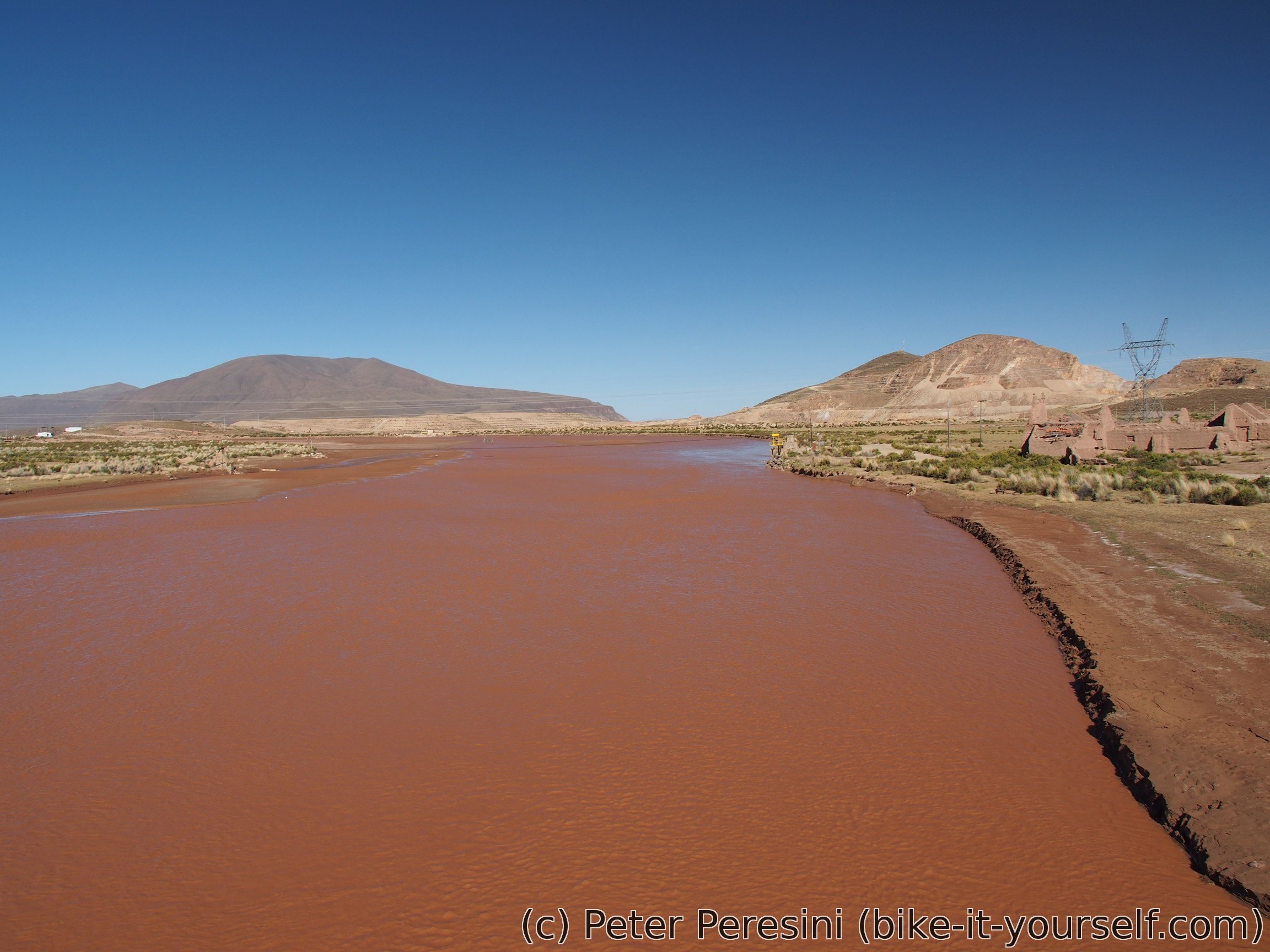
In Eucaliptus I find a hospedaje and tadaaaa it has hot shower. I don't need telling twice to check it out.
June 3
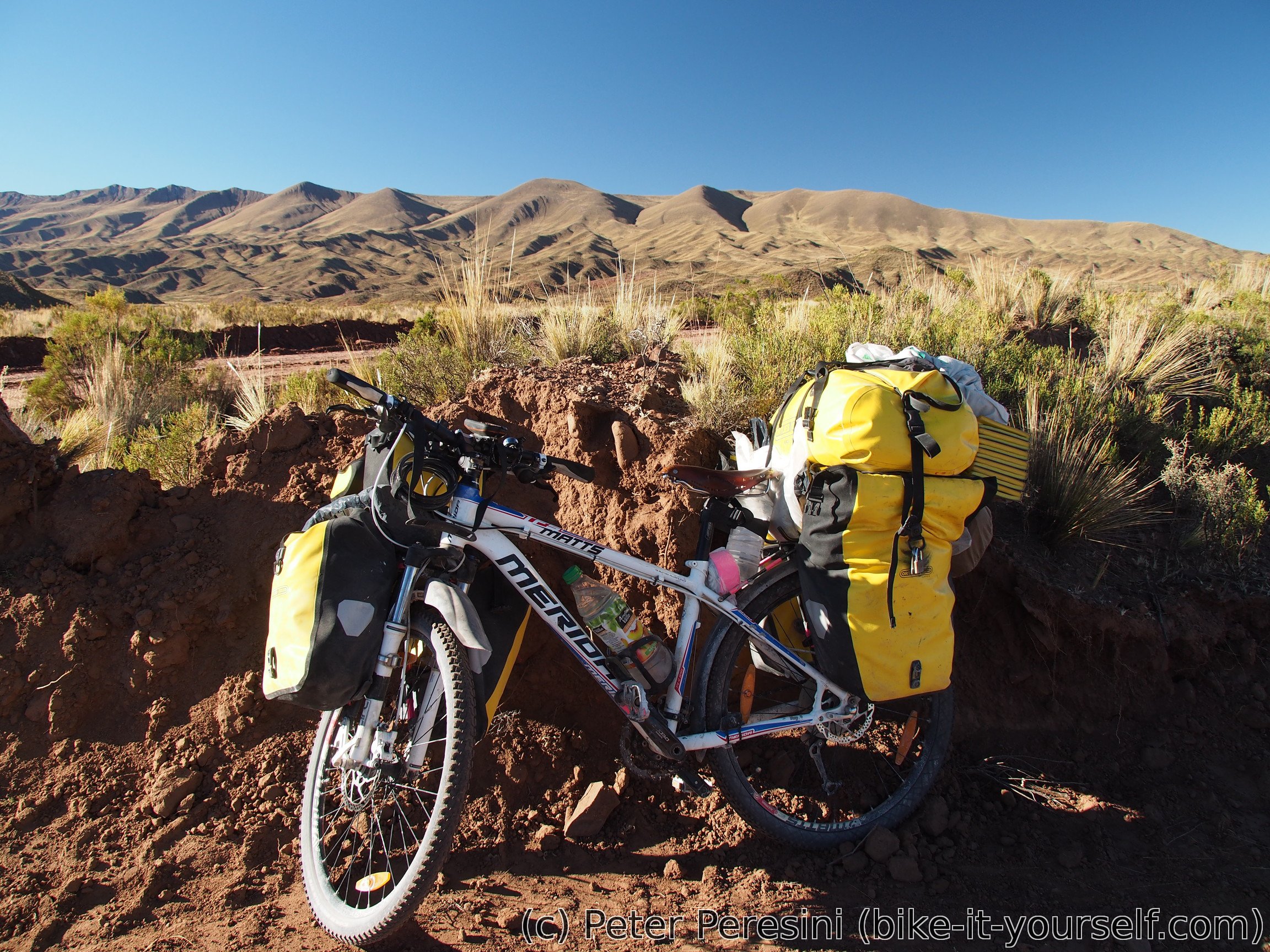
I use the morning to service my bike. First I need to change the chain. And while at it, I check the brakes. The back ones turn out to be in an emergency state as the brake pads are almost completely gone. The front brakes are in a good condition though (and this was my mistake -- before I was checking only the front ones as it is much easier).
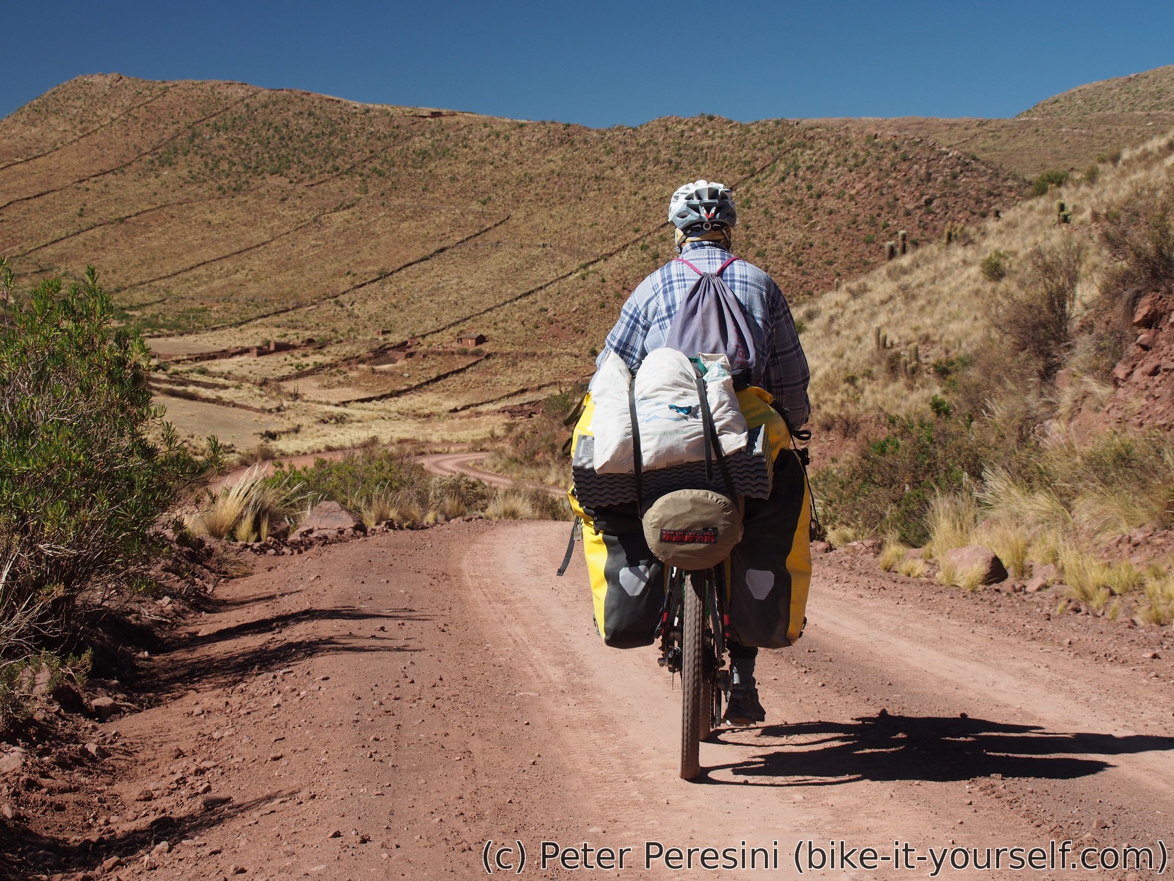
When I finally finish the bike mainternance, I continue my journey to Panduro, a small village on Ruta 1. Then I have 10 kilometers of not-so-enjoyable autopista with cold headwind until I reach Konani. This is a bit bigger village and to my surprise it is full of shops.

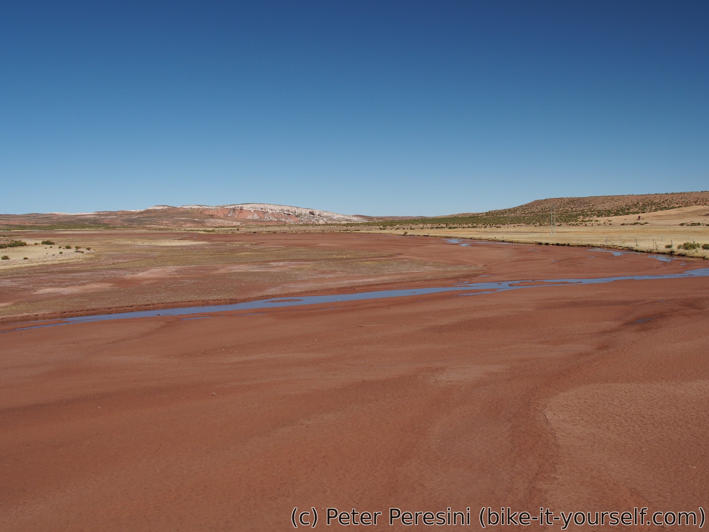
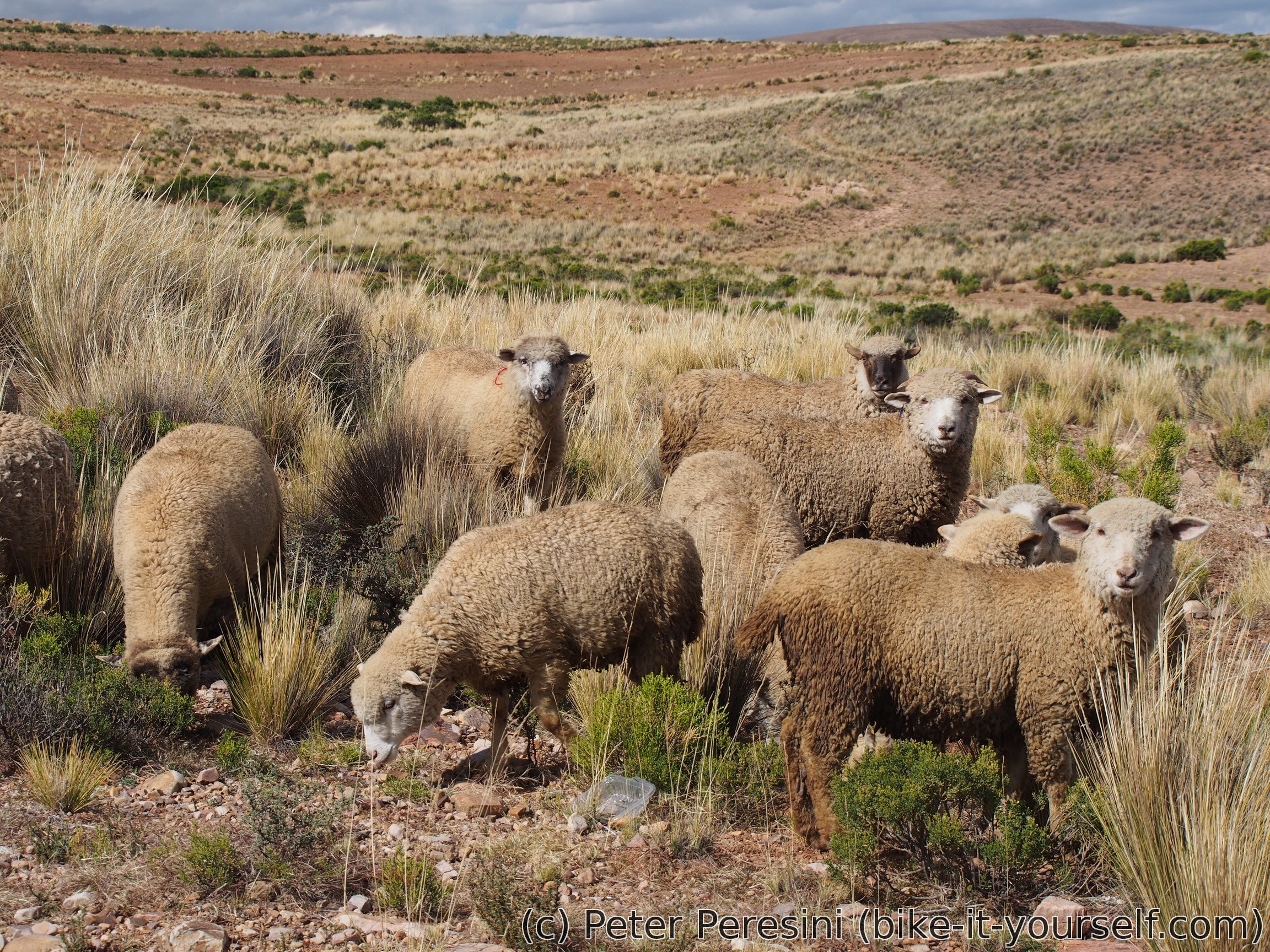
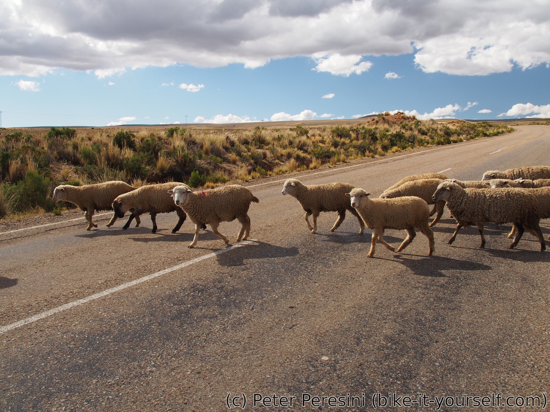
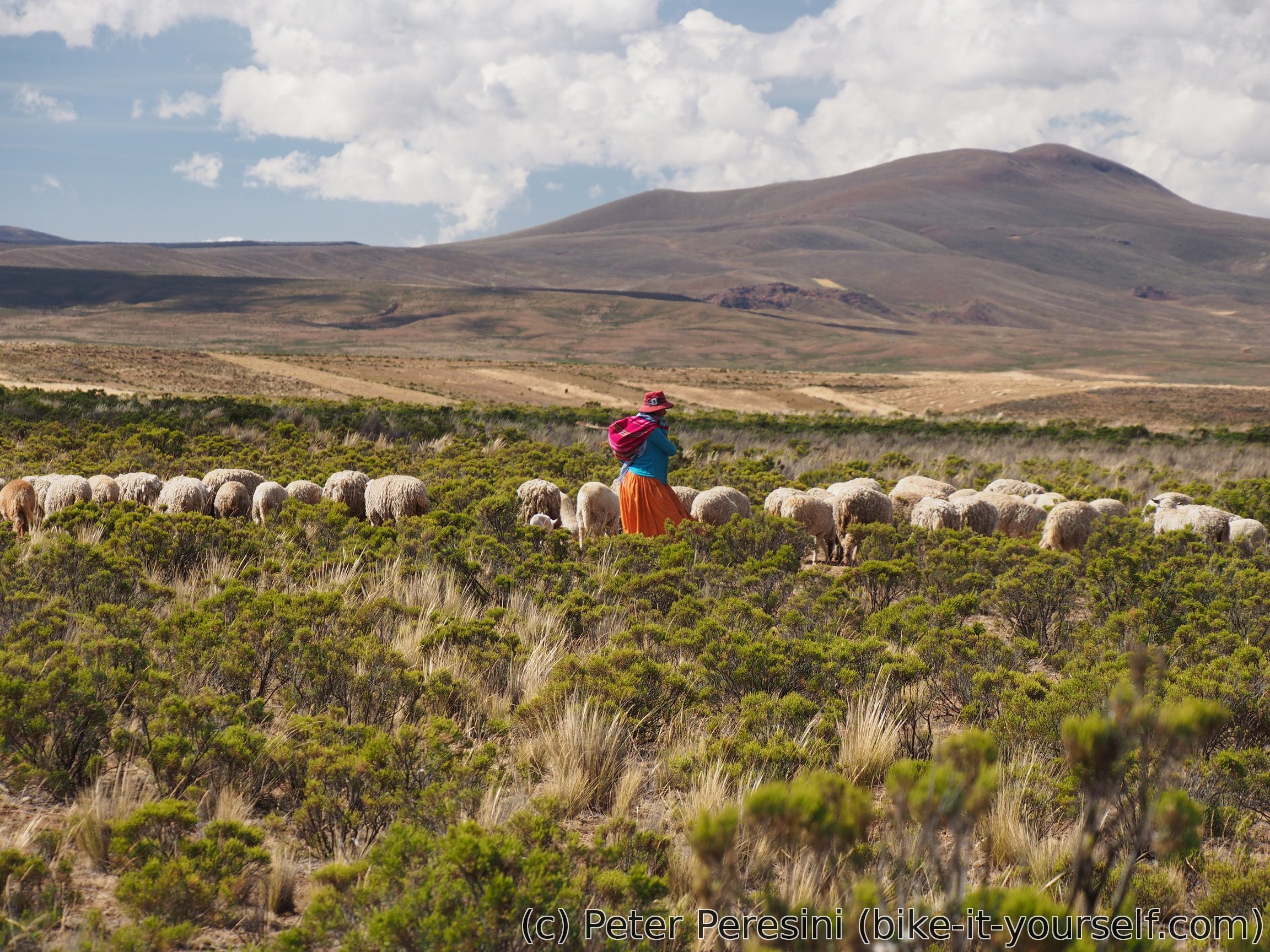
From Konani I start another climb. There are some sheeps on the road and unfortunately some sheeps on the sky as well. As I am slowly thinking about my campsite a rain shower comes and I am forced to expressly camp on the first available stop. This is a first "serious" rain in months -- the last time I was lots of water droplets was in the Lakes district of Argentina & Chile. The rain doesn't last long though, after a while it passes. But then, I am already in my tent so there is no point in continuing on.

June 4
The morning comes with lots of condensation on my tent. And an early wind. Fortunately, this should be only a sidewind for today.
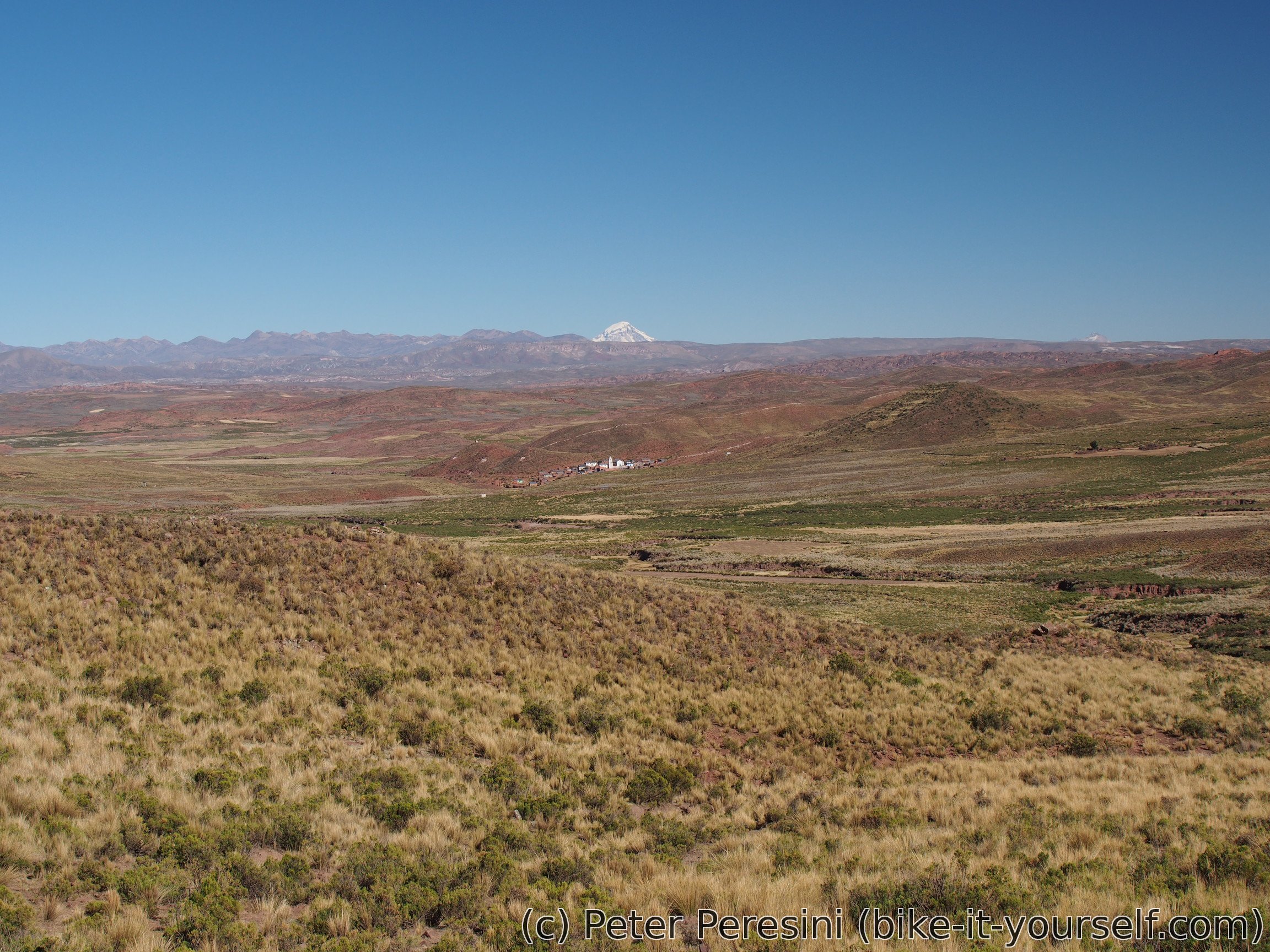
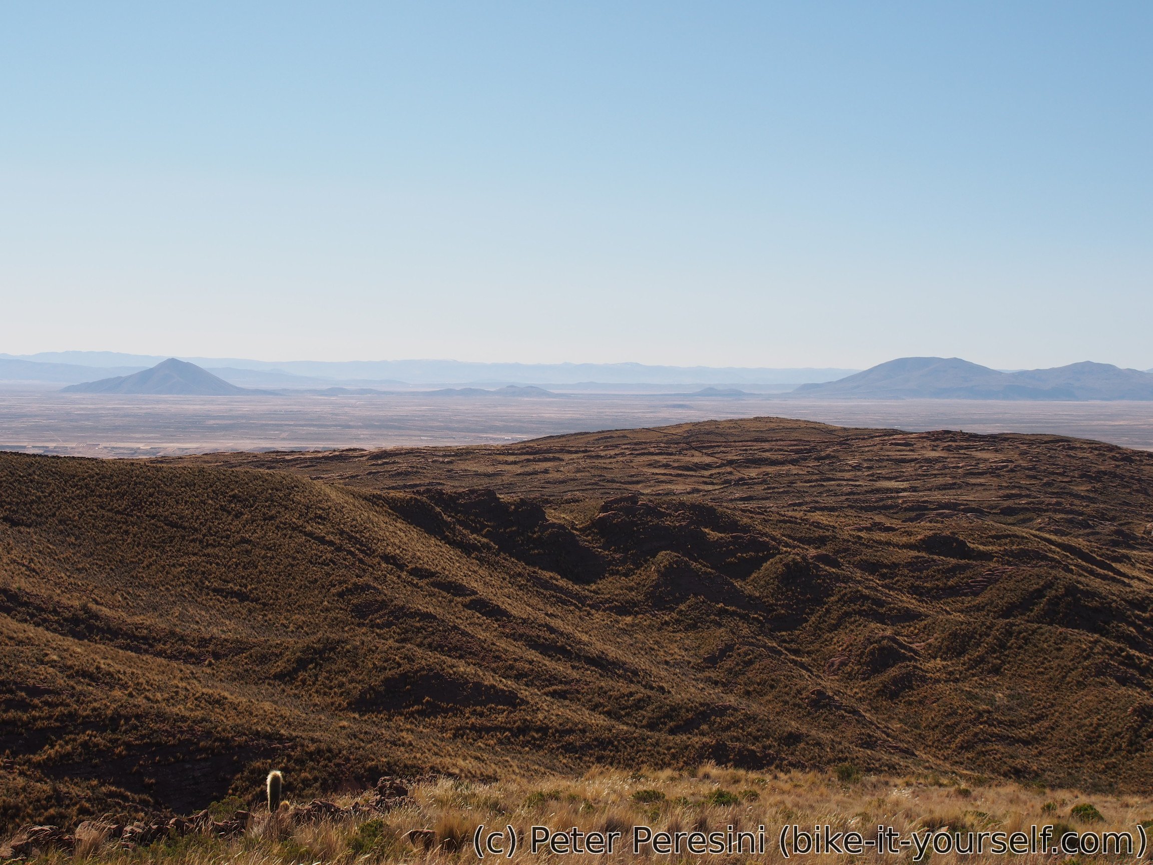
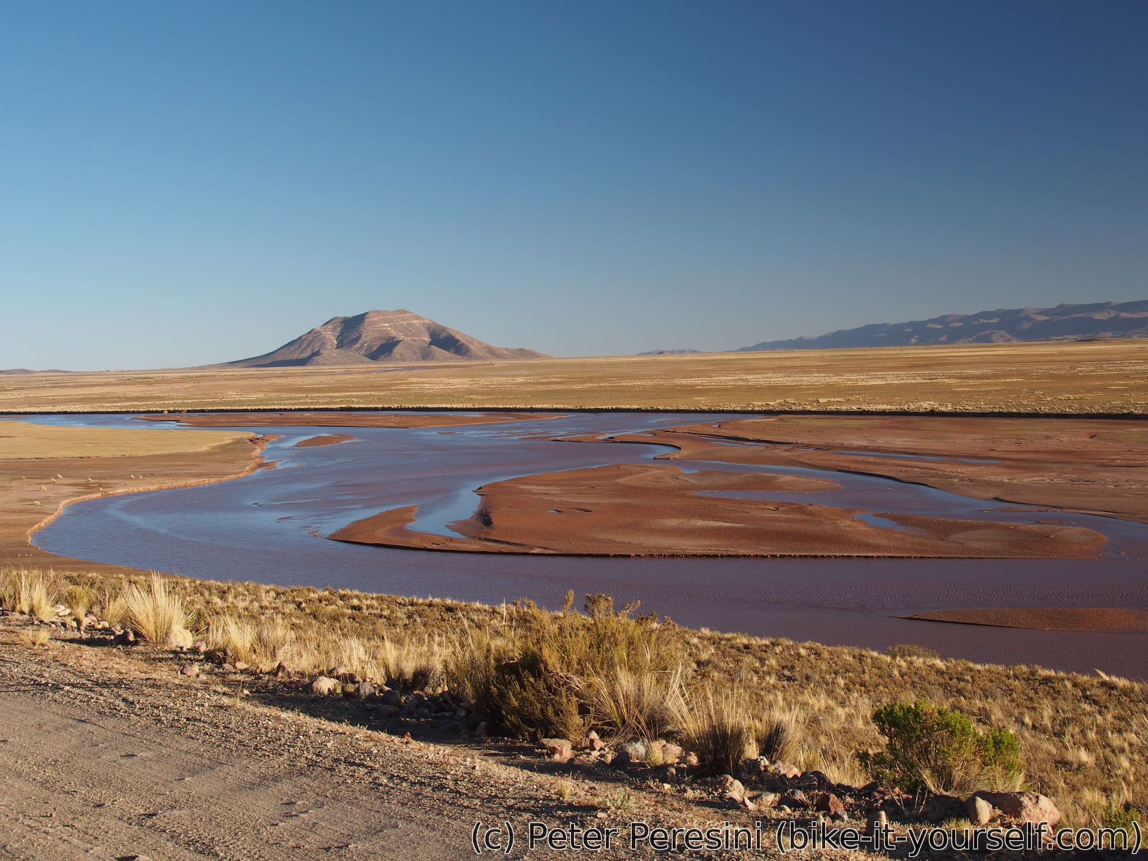
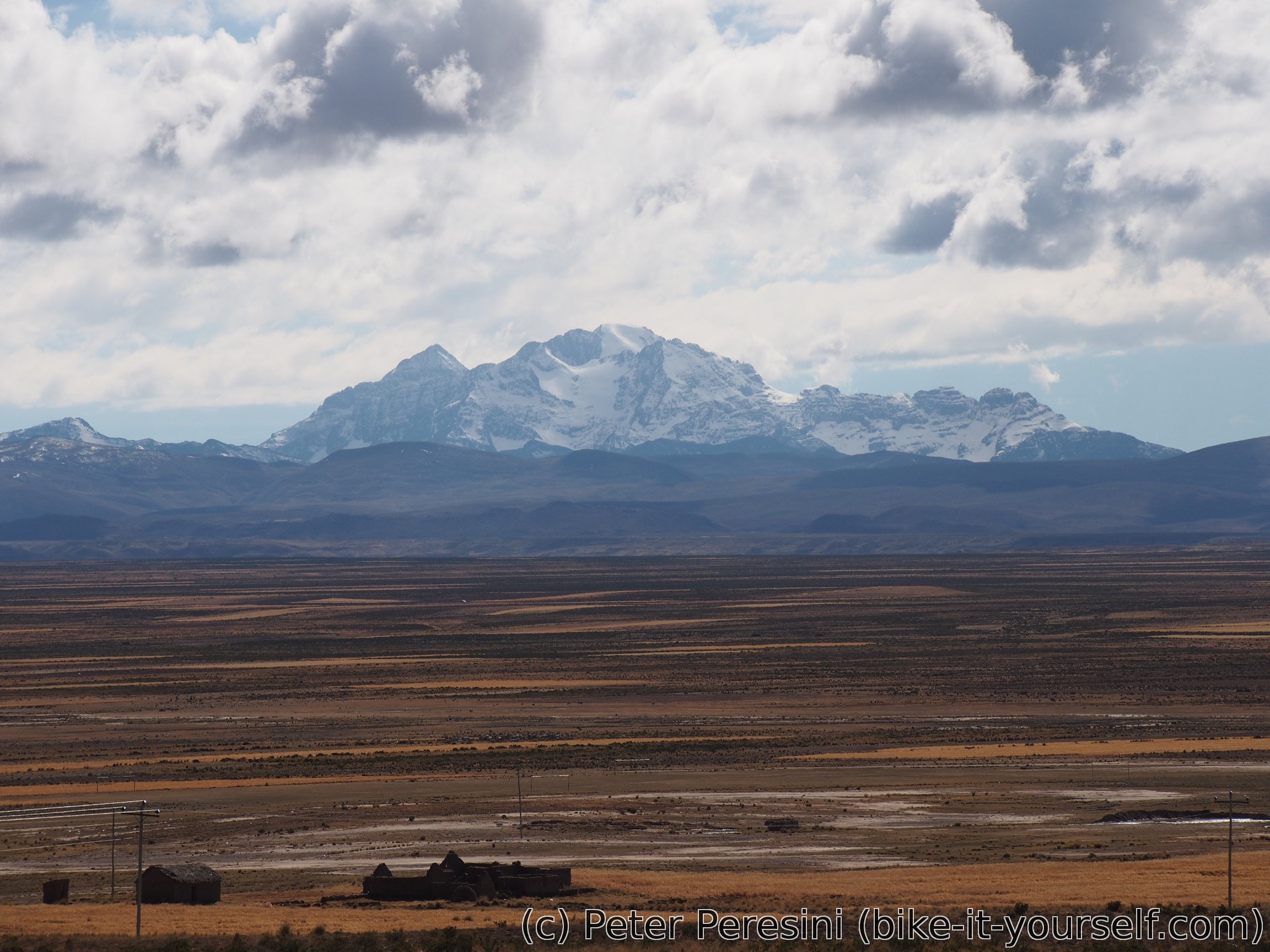
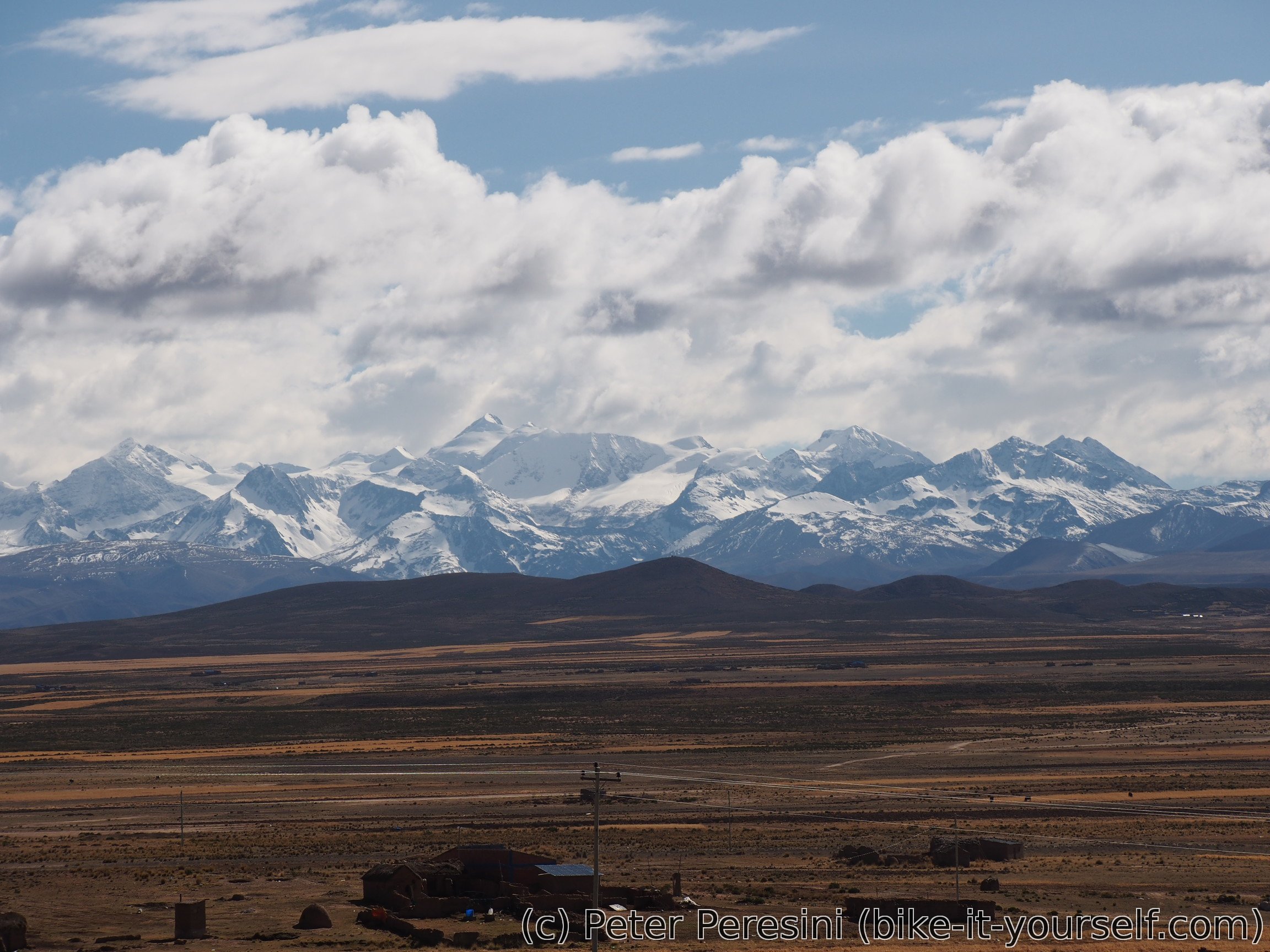
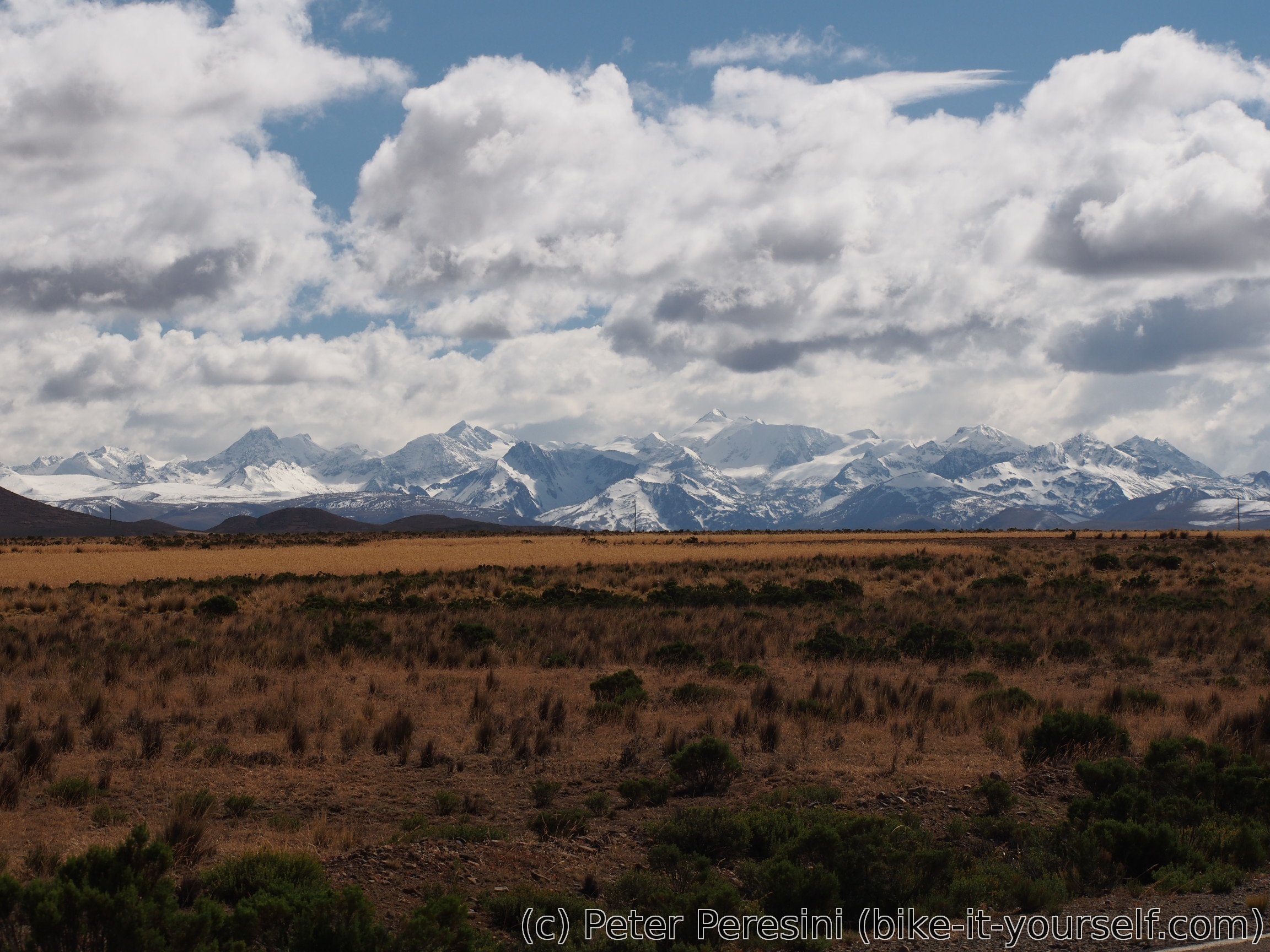
My biggest question of the day is if I will manage to reach 4730m high Abra Tres Cruces. But first I need to climb to 4100m only to steeply descent back to 4000. But the descent opens perfect views of distant snowy mountains.
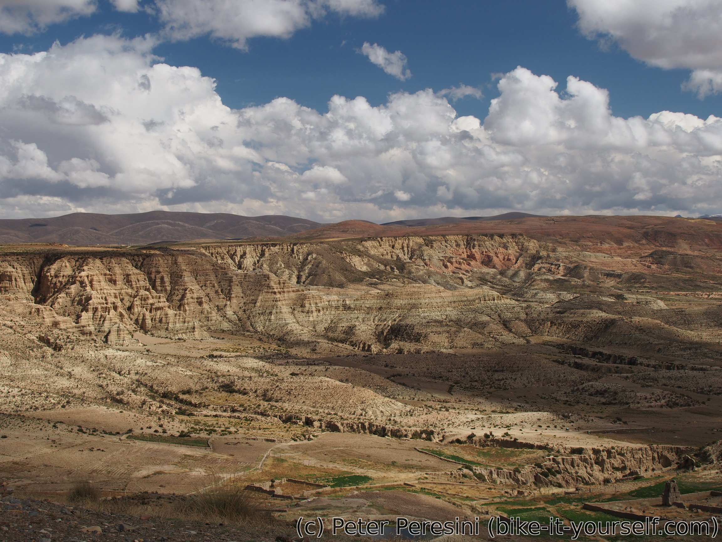
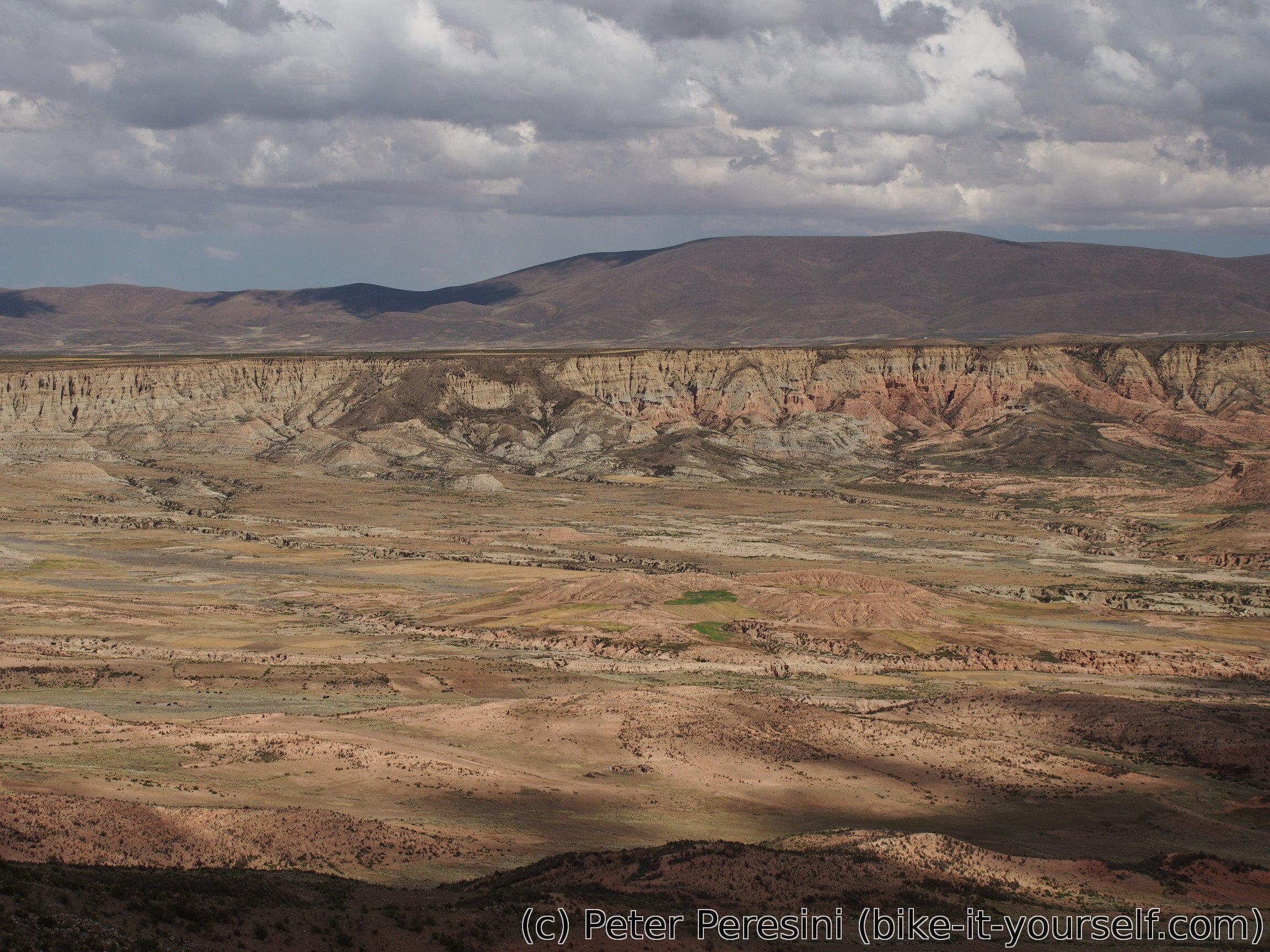
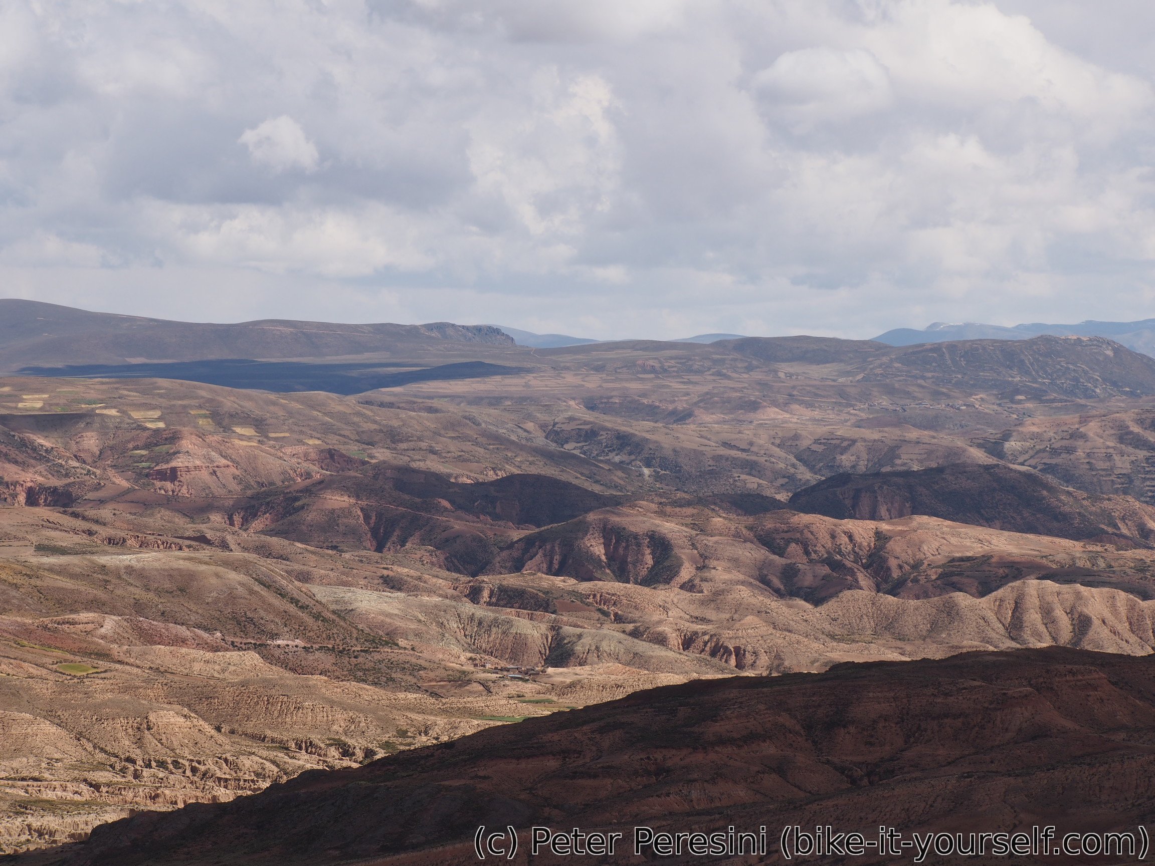
After the descent I make a quick stop in Puchani to have a snack. The road from there is very beautiful as it reveals amazing canyon views.
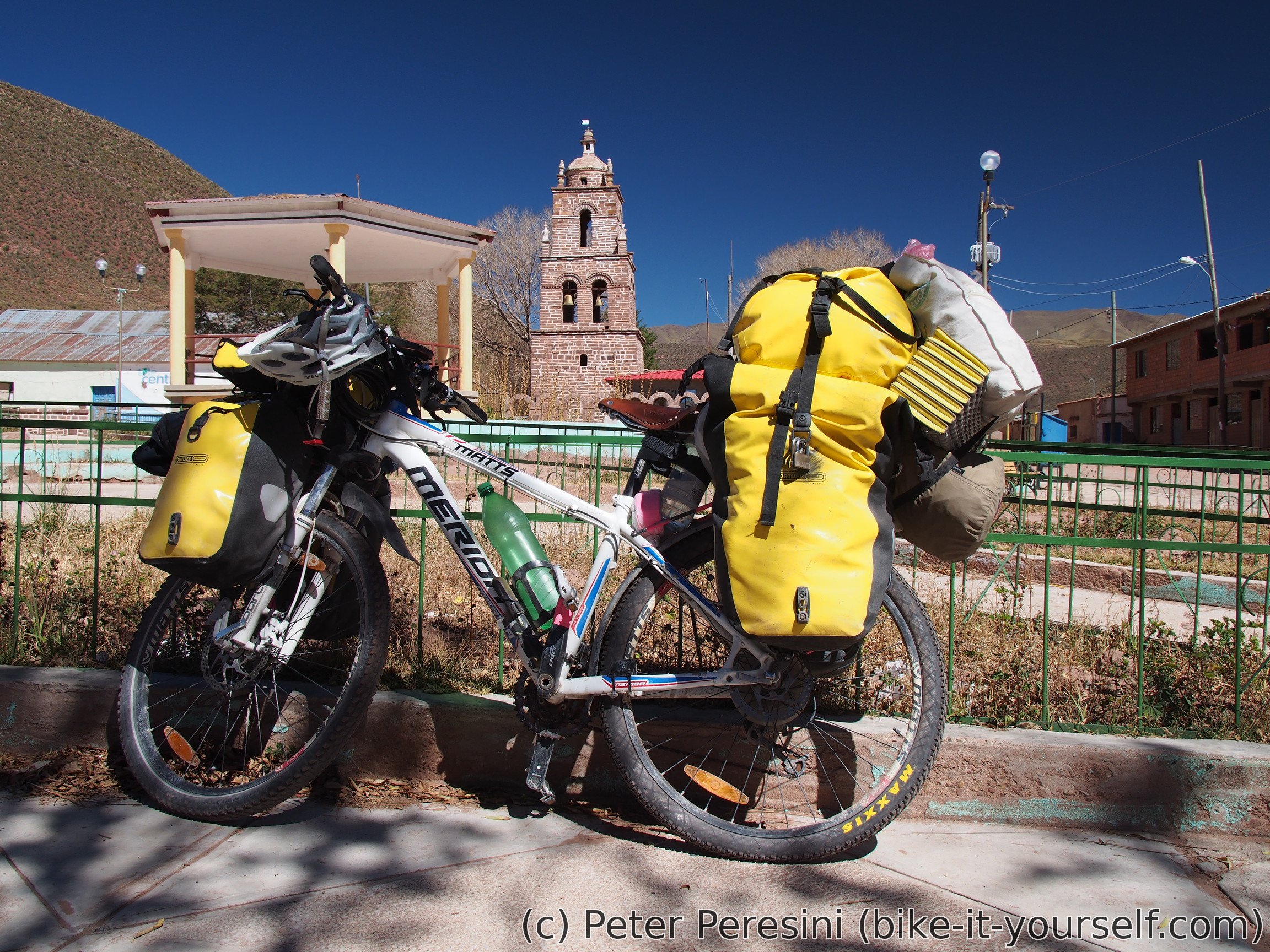
Unfortunately, there are many clouds in the sky and the weather doesn't look too inviting. For this reason, in Tablachaca I decide to stop -- it is only afternoon right now but it would be too late when I reach the pass and I don't really want to camp too high.
Route
Download simplified GPX of a route here
Stats by activity:
| Activity | Distance (km) |
Ascent (km) |
Pedal rotations (thousands) |
|---|---|---|---|
| bike | 205 | 1.5 | 49 |
| Date | Distance (km) |
Ascent (km) |
Avg. temp (moving, C) |
|---|---|---|---|
| June 1, 2017 | 56.1 | 0.32 | 21.2 |
| June 2, 2017 | 82.7 | 0.33 | 16.8 |
| June 3, 2017 | 36.2 | 0.42 | 14.9 |
| June 4, 2017 | 30.4 | 0.47 | 13.4 |
Elevation data
The next table is only for cycling activity.
| Grade(%) | Ascent (km) | Descent(km) |
|---|---|---|
| < 2 | 137.1 | |
| < 4 | 16.6 | 12.7 |
| < 6 | 4.4 | 3.0 |
| < 8 | 3.2 | 2.1 |
| < 10 | 0.4 | 1.0 |
| ≥ 10 | 0.2 | 0.5 |
Buying Levitra Online Badype <a href=https://bansocialism.com/>cialis online</a> Nurify Vardenafil Side Effects
hydroxychloroquine drugs https://keys-chloroquineclinique.com/
Thanks for your marvelous posting! I certainly enjoyed reading it, you might be a great author.I will make certain to bookmark your blog and may come back sometime soon. I want to encourage yourself to continue your great job, have a nice holiday weekend!
Keep this going please, great job!