
Lake Louise to Sparwood -- Canadian Rockies
 Share:


Lake Louise to Sparwood -- Canadian Rockies
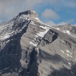
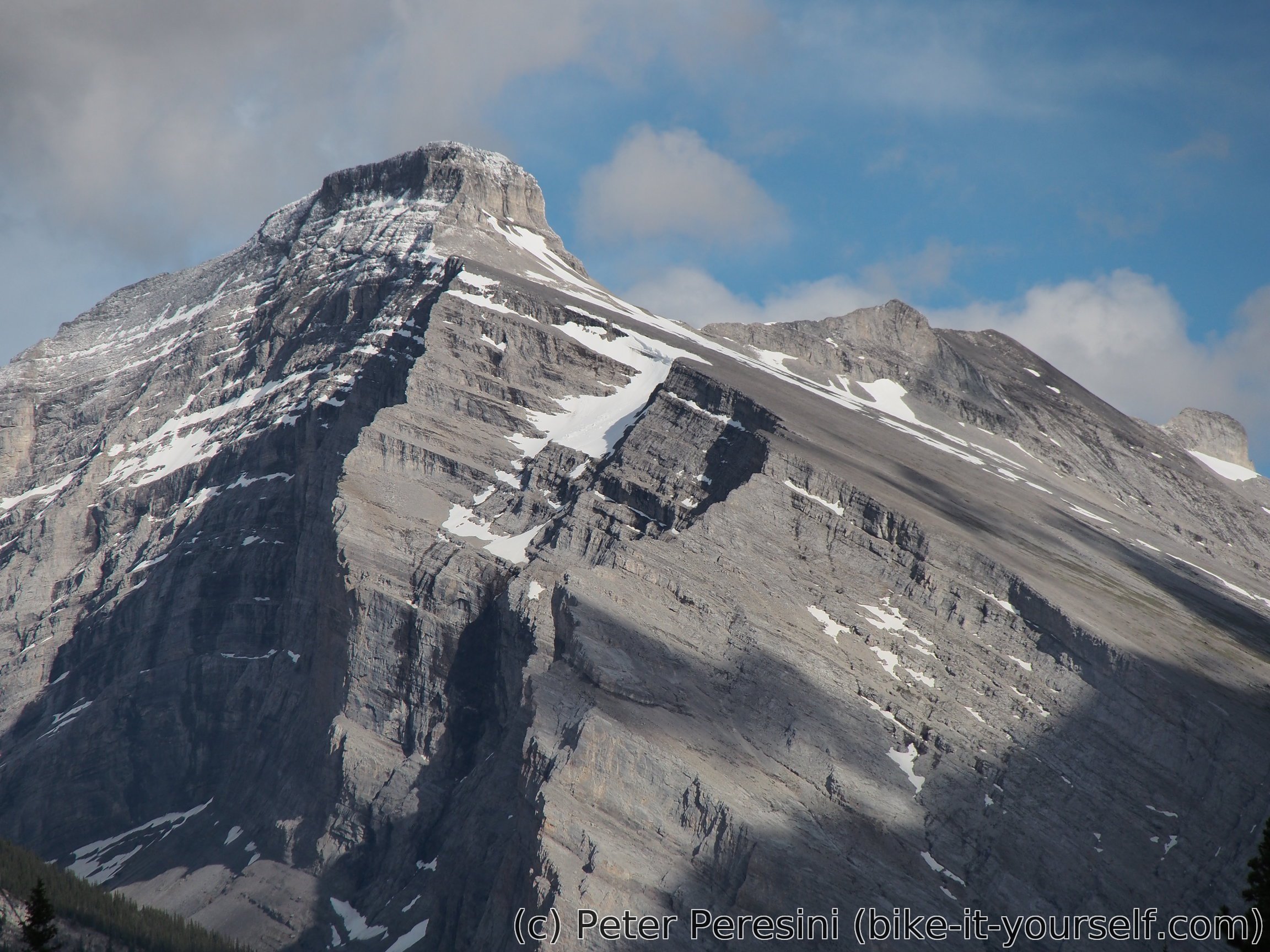
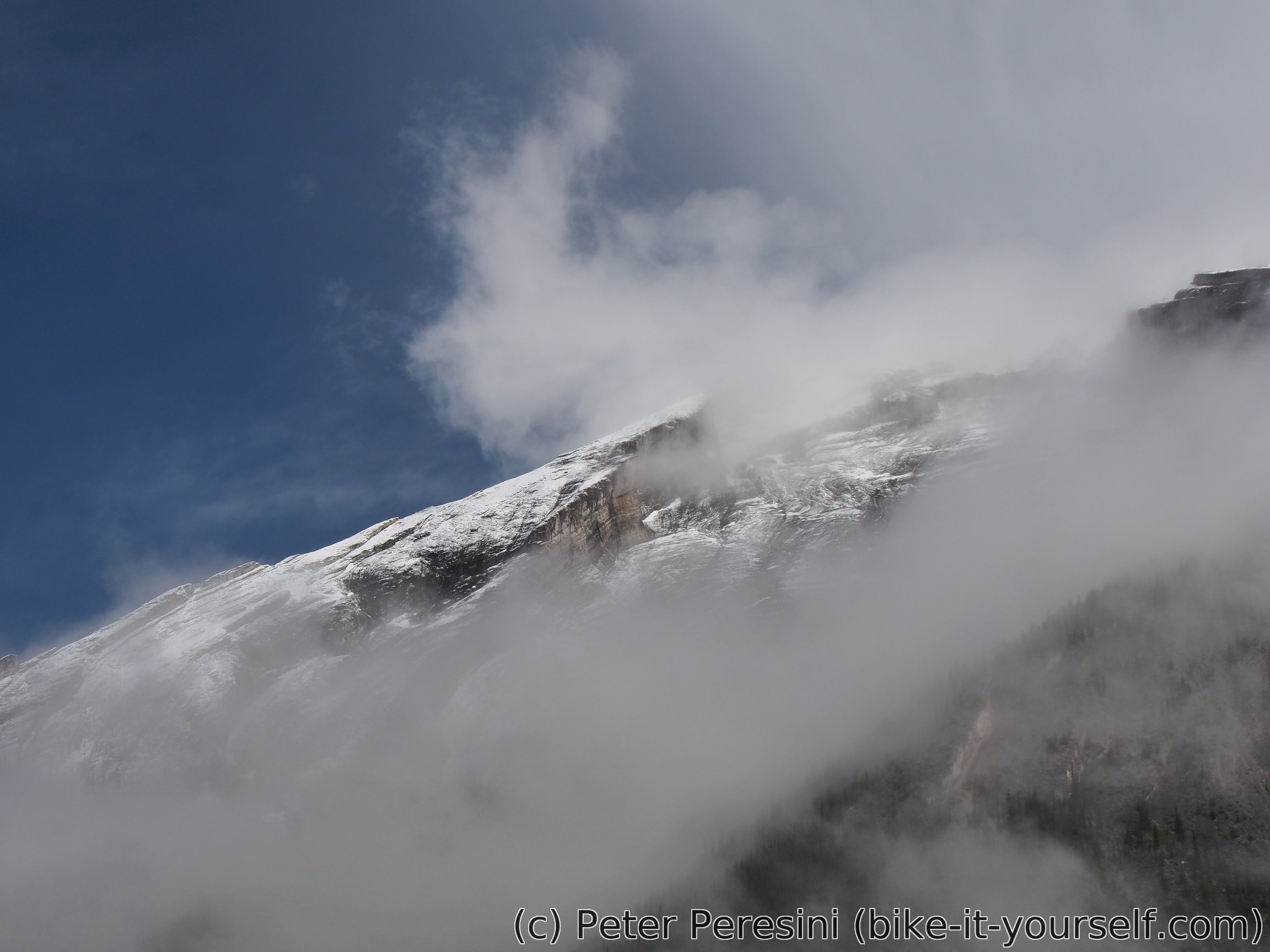
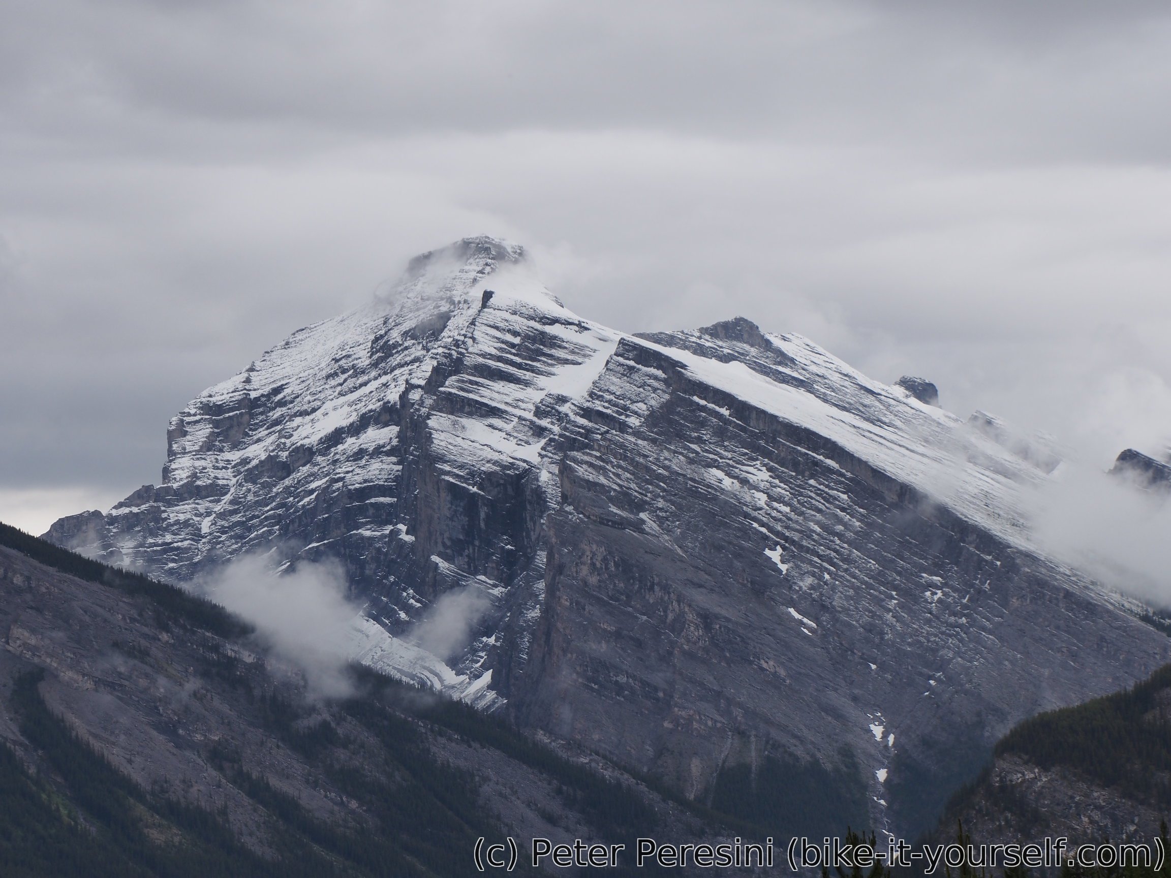
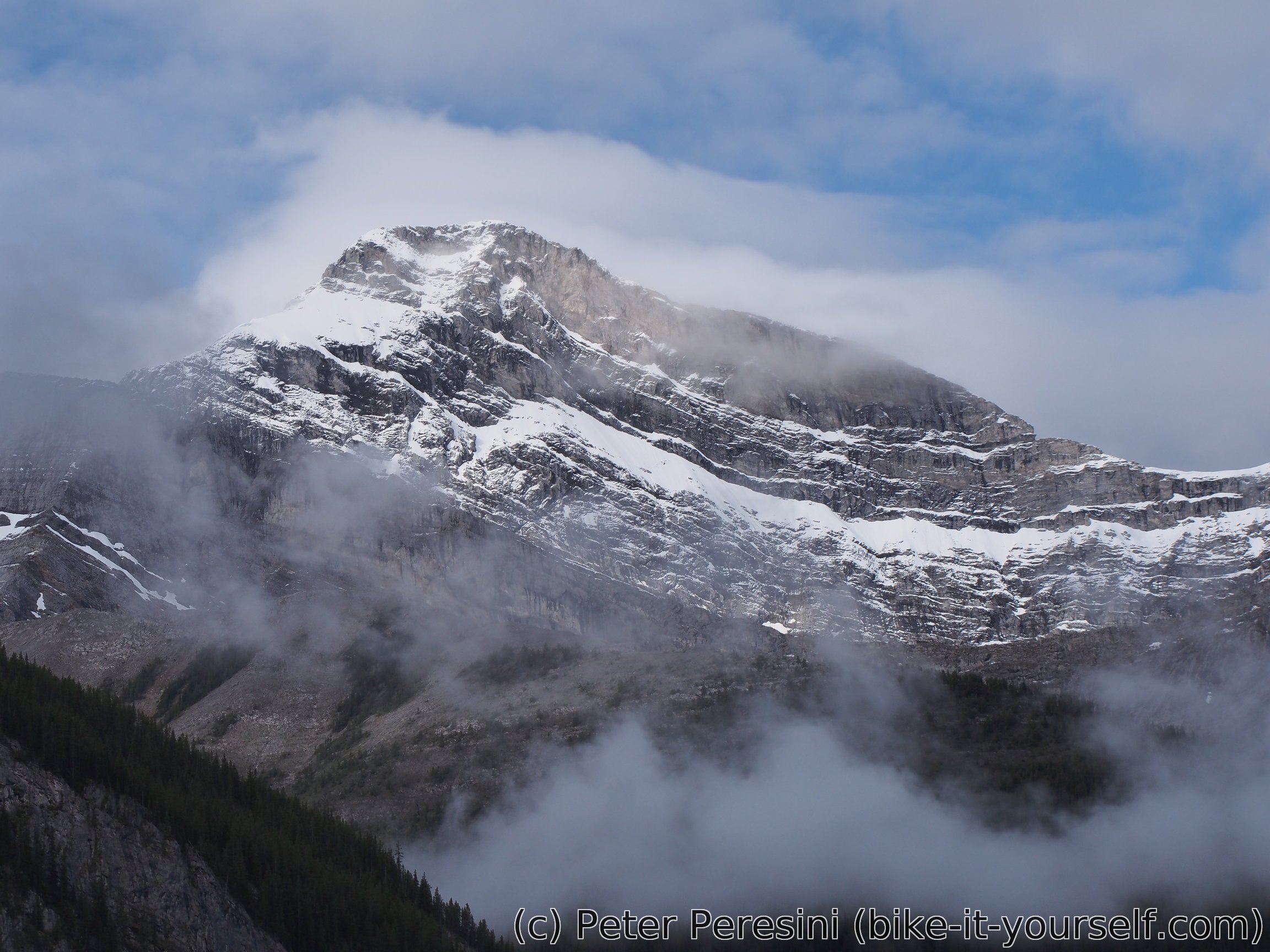
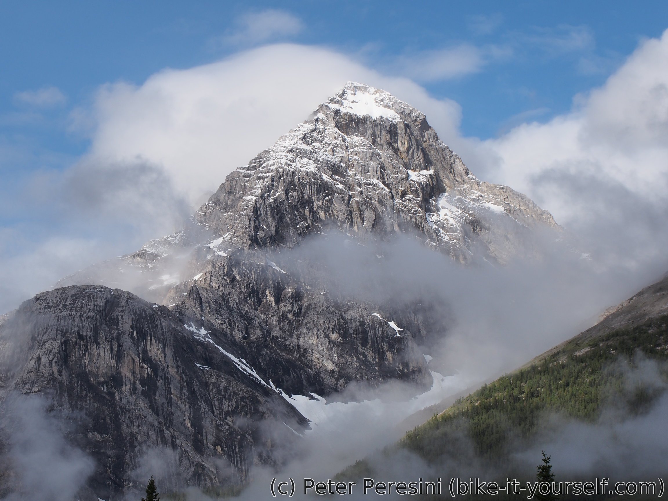
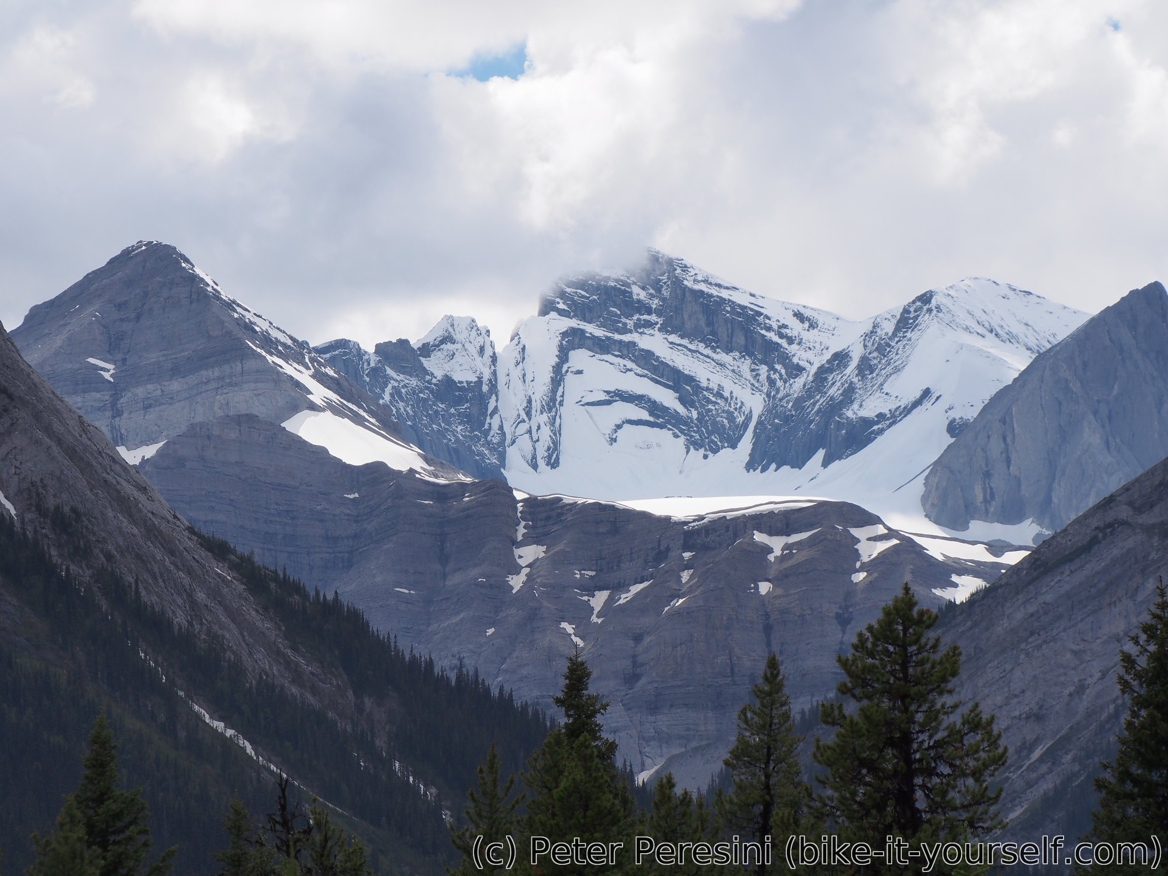
The first part of GDMBR route leads through grand sceneries of Canadian Rockies. This is said to be the best part of the Canadian section, we are, however, unlucky with the weather and get only a taste of what would be an amazing scenery.
July 1 (Lake Louise to Spray Lakes West)
Before we can really hit unpaved roads of GDMBR we need to return from Lake Louise to Banff. With generally very slight downhill the biking progress is fast. It is then impeded a bit by some climb between Johnston and Banff but we still make it to Banff in decent time.

The weather is quite gloomy though. By the time we hit Banff a local shower appears and we can't decide whether to put our rain gear on or not. In the town we watch a huge commotion of people -- today is Canada Day and we just narrowly missed some celebrating event -- the people are now slowly dispersing into shops and eating places.
I unsuccessfully try to find a place where we could repair Martin's cycling computer (most probably broken wire) but I soon give up as possible places with voltmeter and soldering gun are closed today. With the defeated mood we finally set off for the ride.
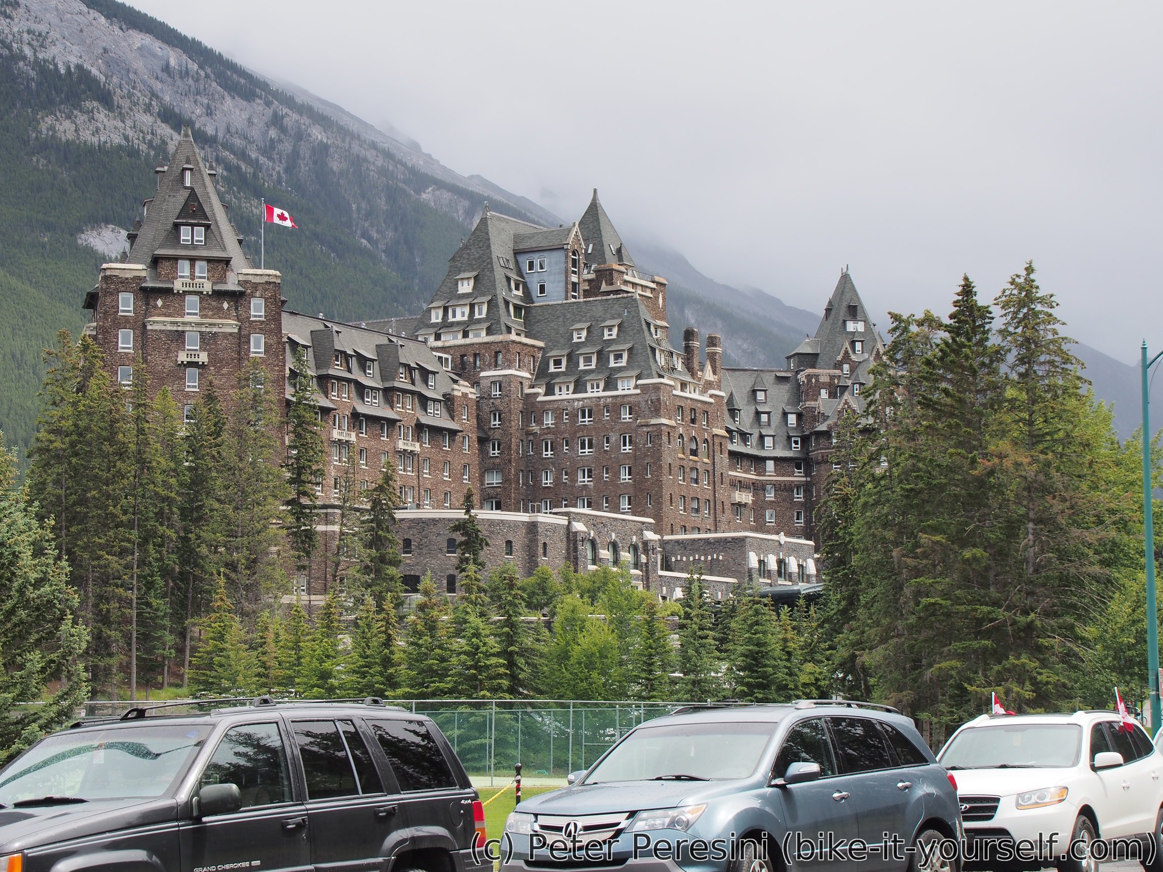
We first cycle towards grand Banff Hotel which is hard to describe by proper words. The best fitting description is probably "Canadian Hogwarts" but see for yourself...
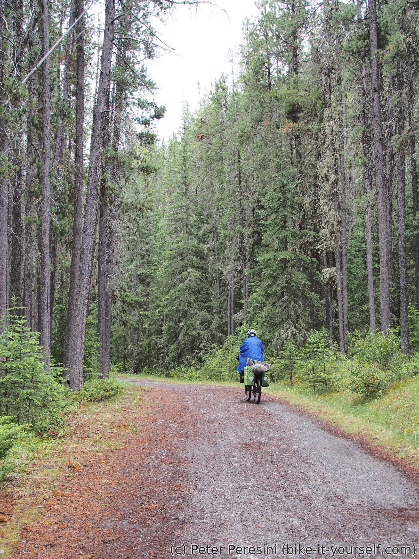

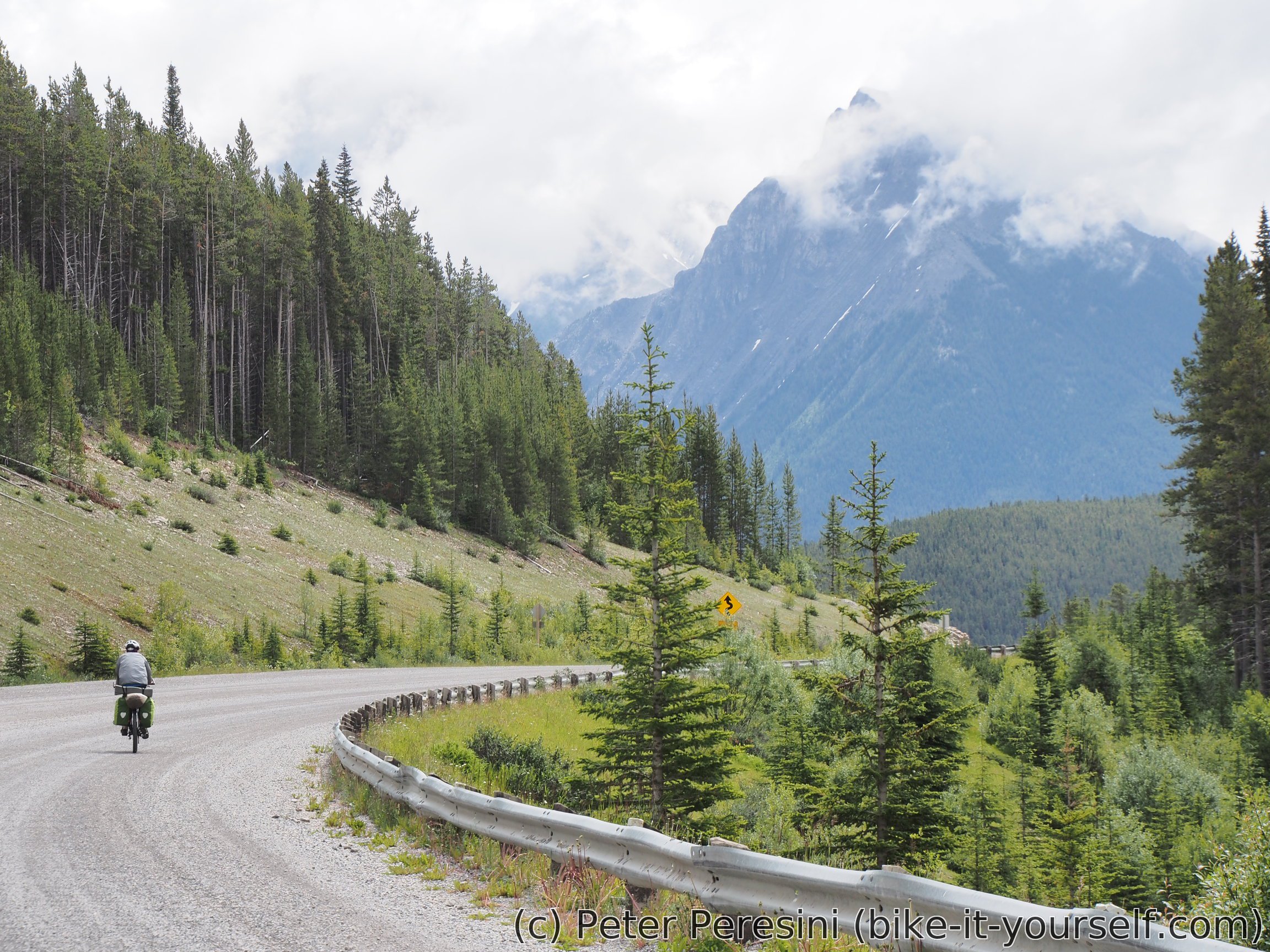
With the hotel behind our back the pavement finally gives up to a narrow gravel road which is fun to ride. Even weather seems to be cooperating and while not getting sunny it at least stops randomly showering.
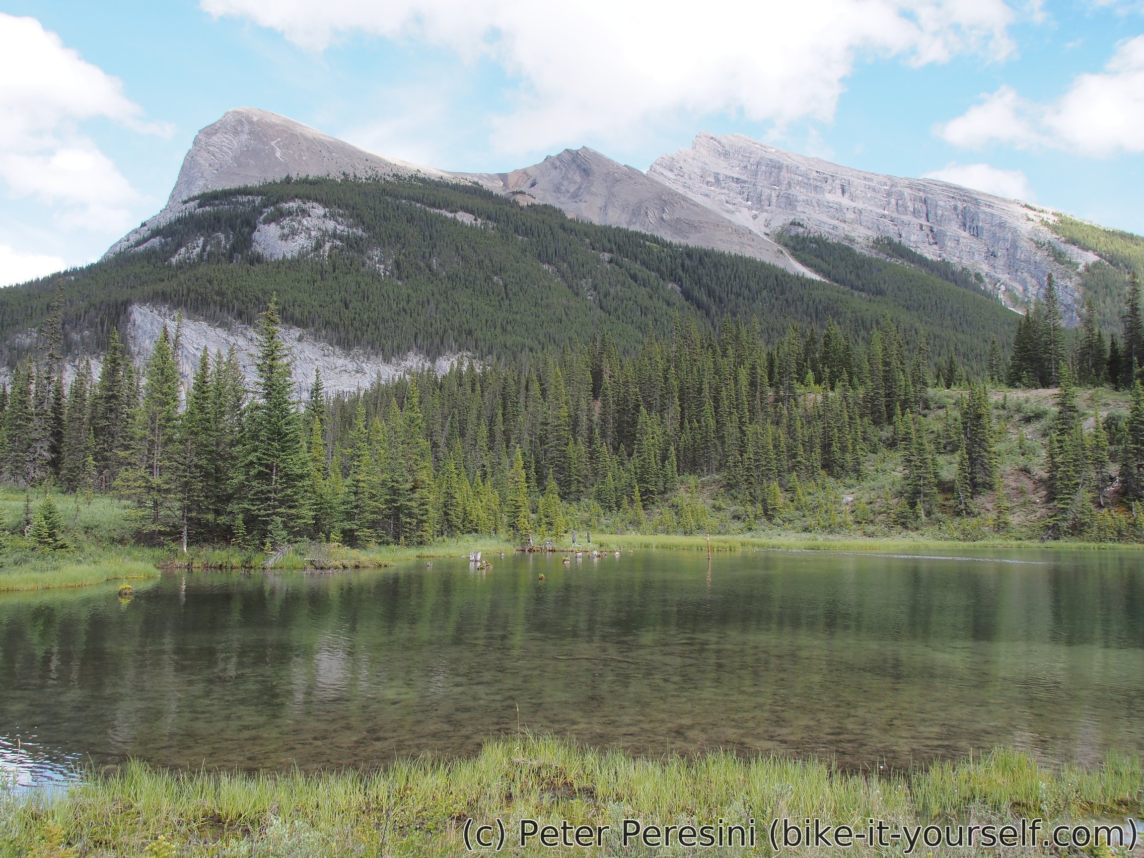

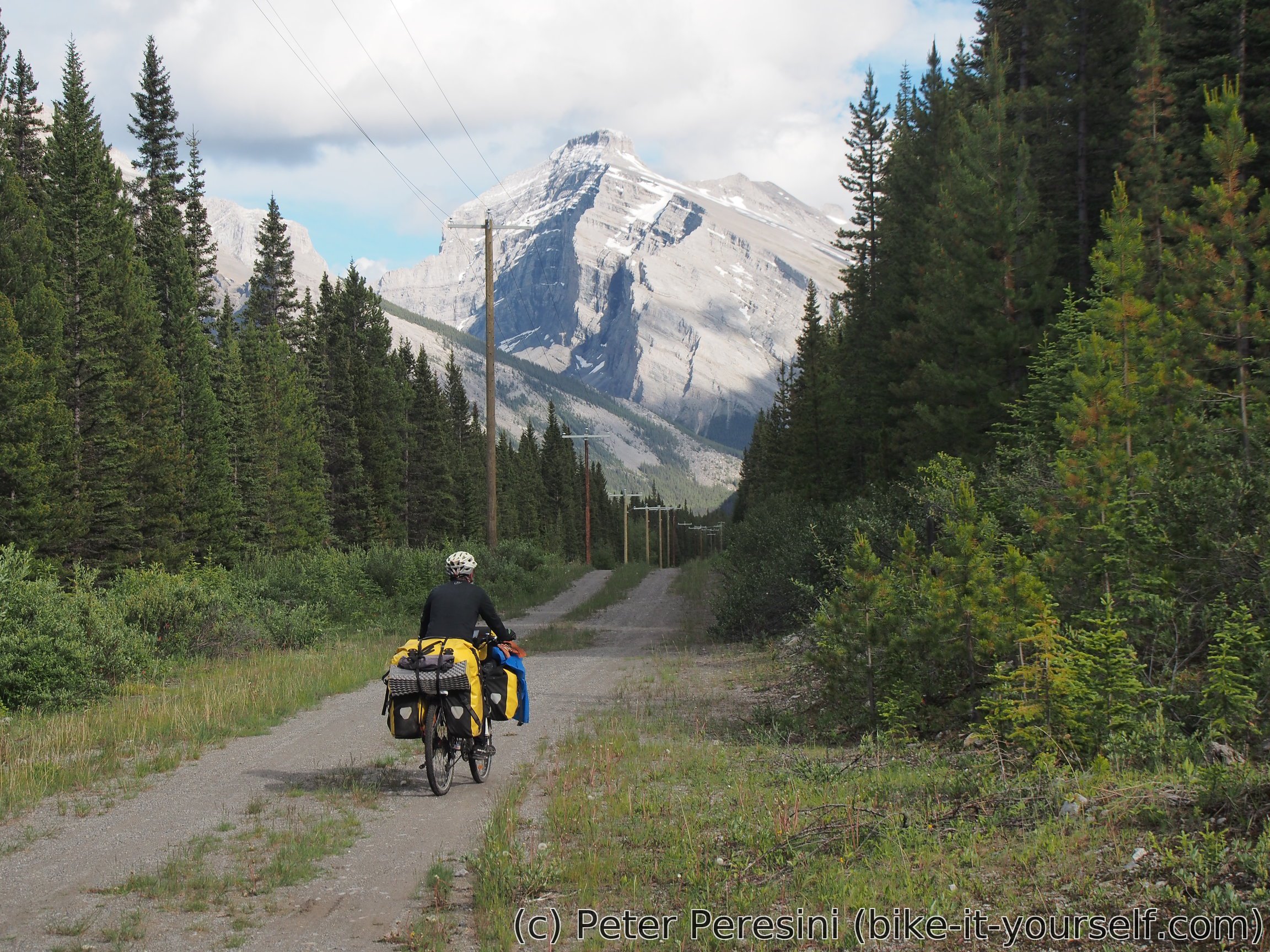
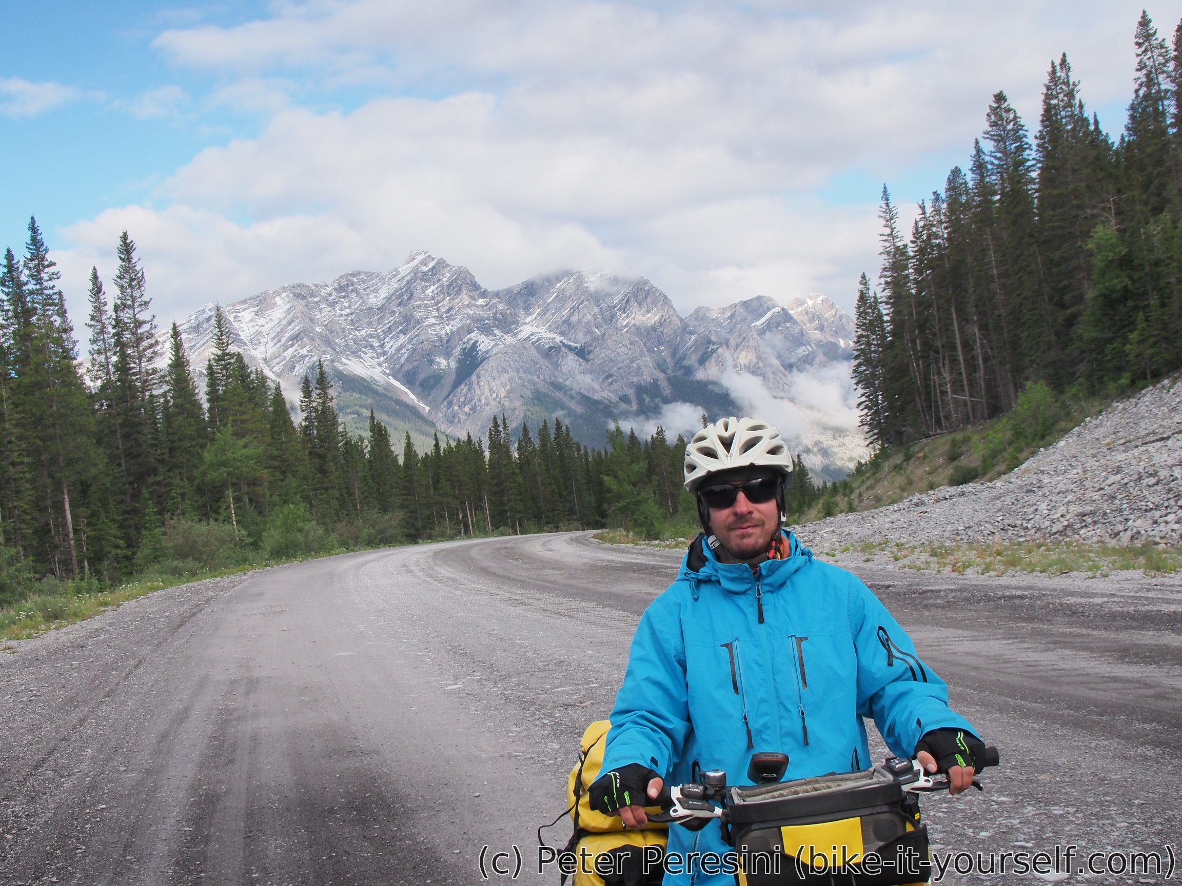
Of course, GDMBR, as the "MBR" part suggest doesn't consist of only perfect gravel riding. And so soon we hit a short singletrack which leads us to a meadow with beautiful views. From there the road continues although with slightly worse quality. This also reflects on our speed -- my original estimate for this 32km-long section was "3-4" hours but in reality we spend 5 hours plodding through the dirt until we finally hit Spray Lakes -- one small and one huge (by the length) dam where on the west site there is a self-registration campground.
July 2-3 (Spray Lakes West)
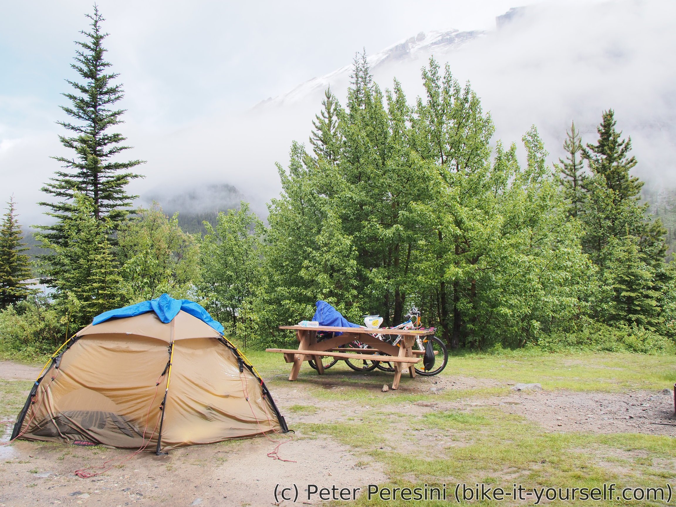
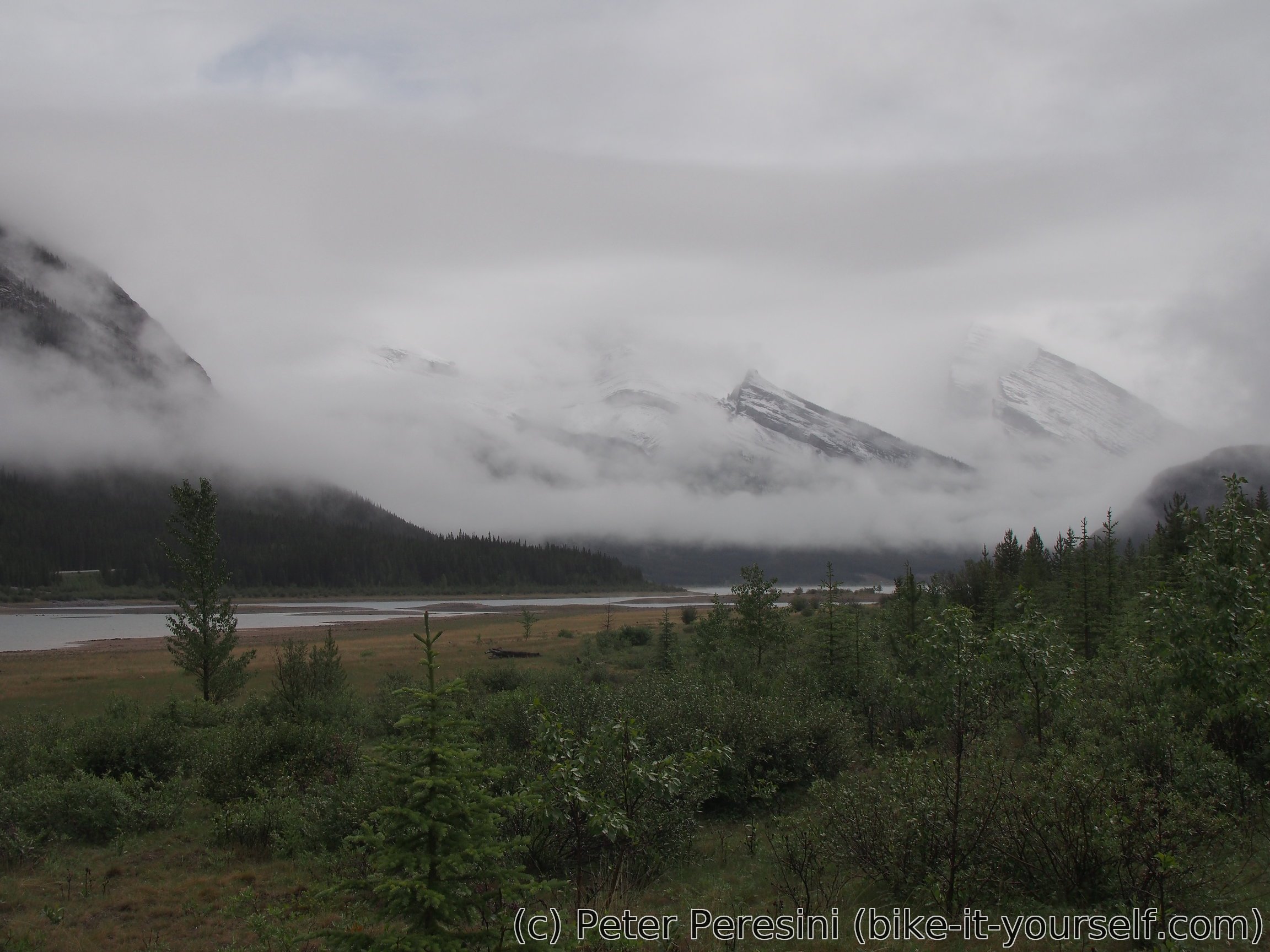
For the next two days the weather is quite miserable -- it is raining most of the day. I guess Fero and friends did not drink enough of Canada Dry ... Given the unappealing views I decide to stay out the rain inside the tent.
The afternoon comes with a bit of Sun and a bunch of cyclists. We don't know how but suddenly two Dutch guys appear on a site next to us. Later an older British couple appears. Lastly, there is a Czech girl desperate with her British riding partner as he doesn't seem to be up to the challenge she expected him to be.
Next day the morning rain repeats. Having a high hope for the forecast which suggest that tomorrow should be clearing up we decide to stay another day here. All other cyclists seem to be too anxious to ride and thus we end up camping alone.
July 4 (Spray Lakes West to Riverside Recreation Site)
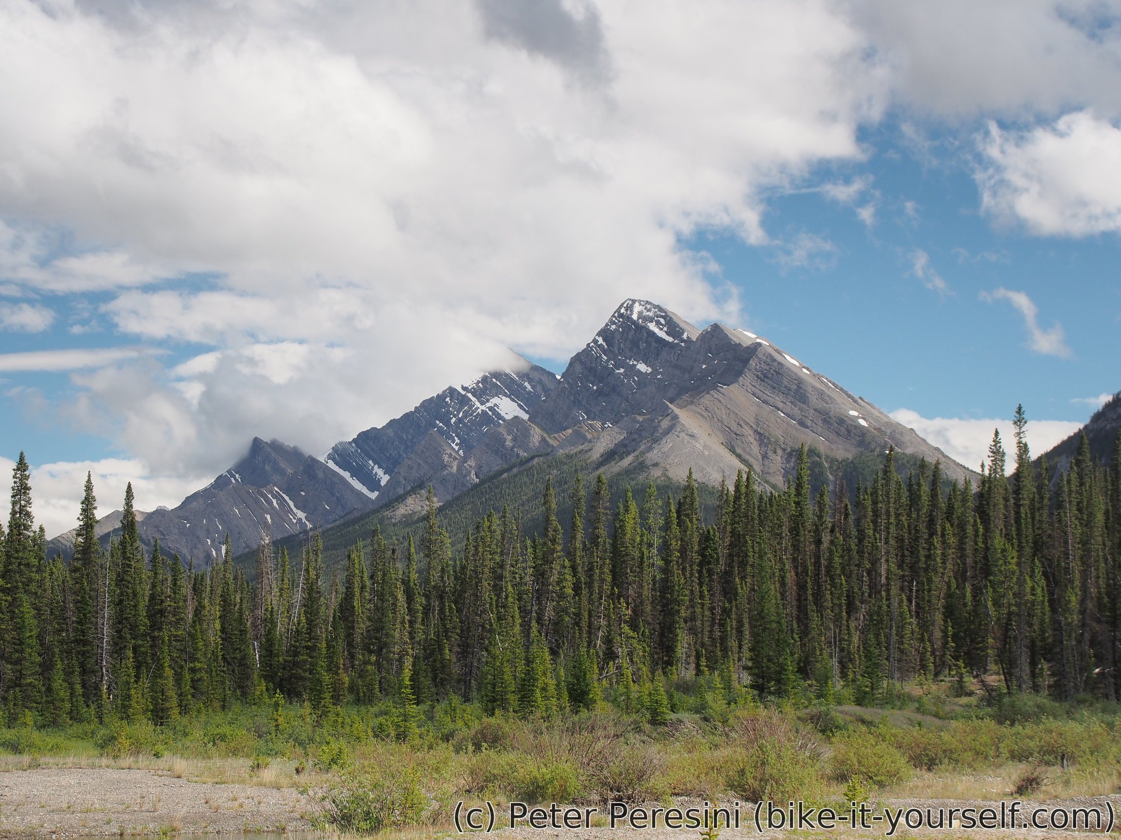
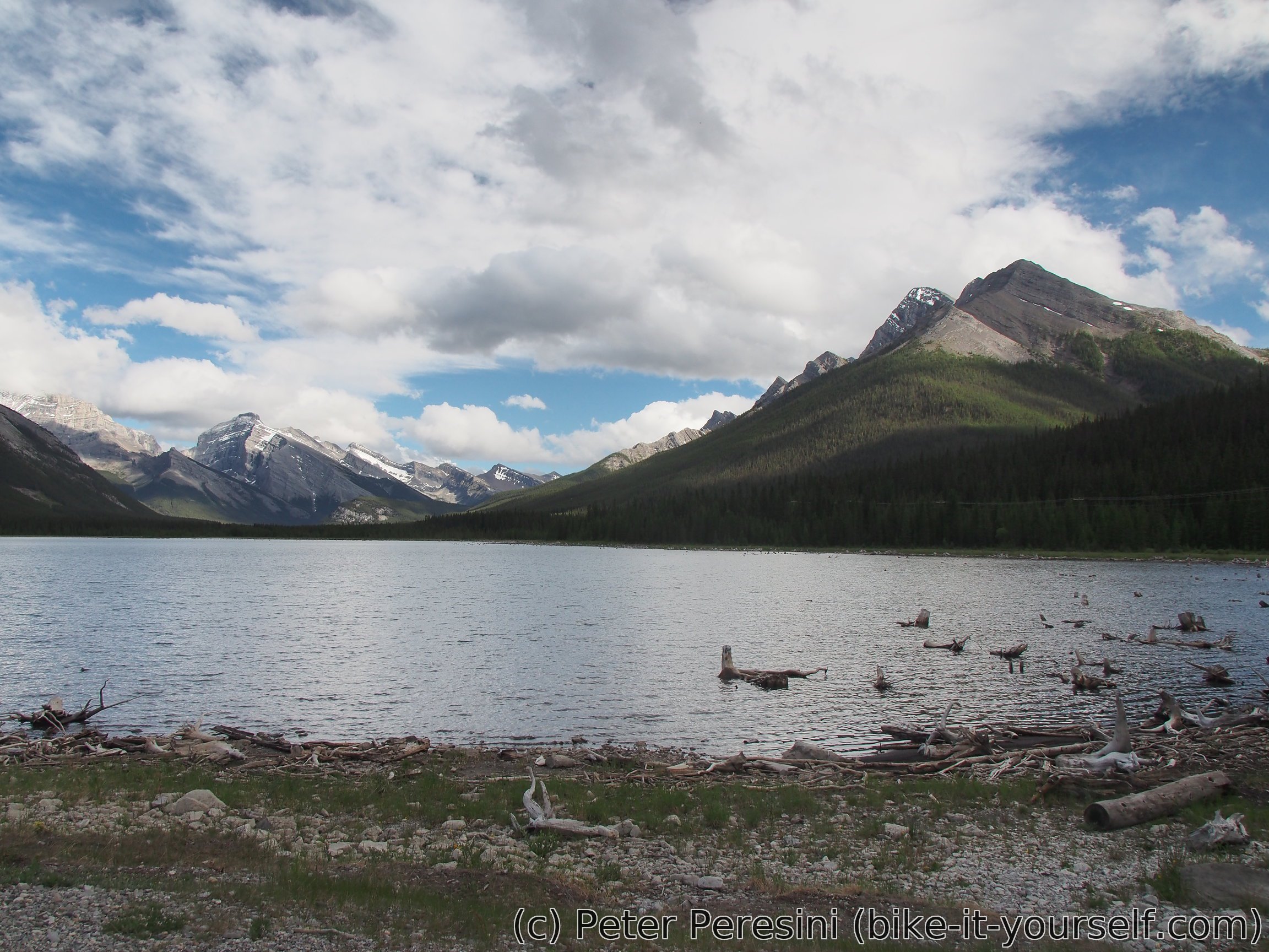
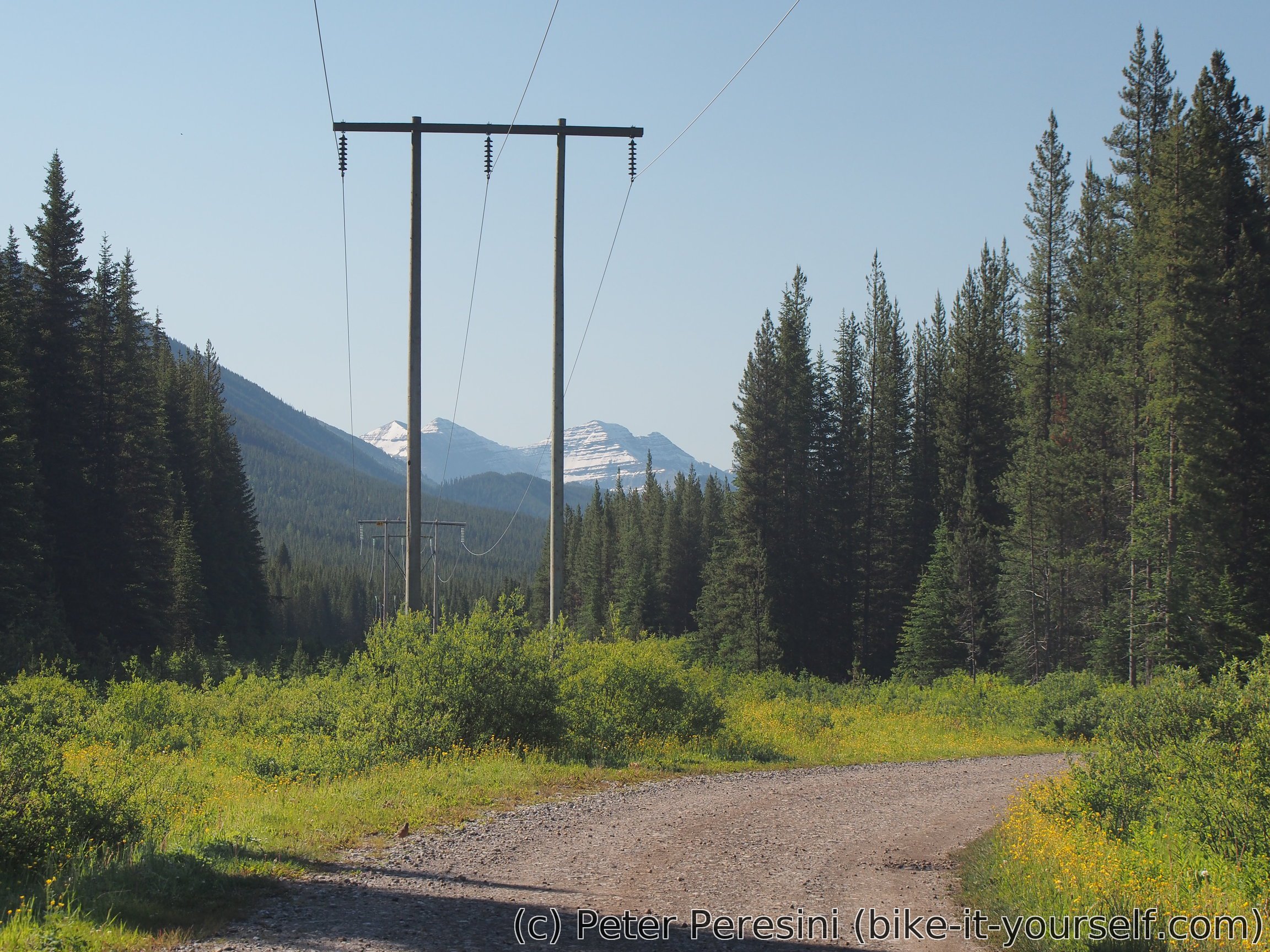
The morning weather looks better than yesterday. We set off along east shore of Spray Lake (the route normally goes around the west side but the trail is closed due to bear activity). As we finish the long lake and start very gradual climb the sky clouds over and drizzles a bit. Fortunately, the drizzle isn't much and so we find it better to climb without our raincoats on.
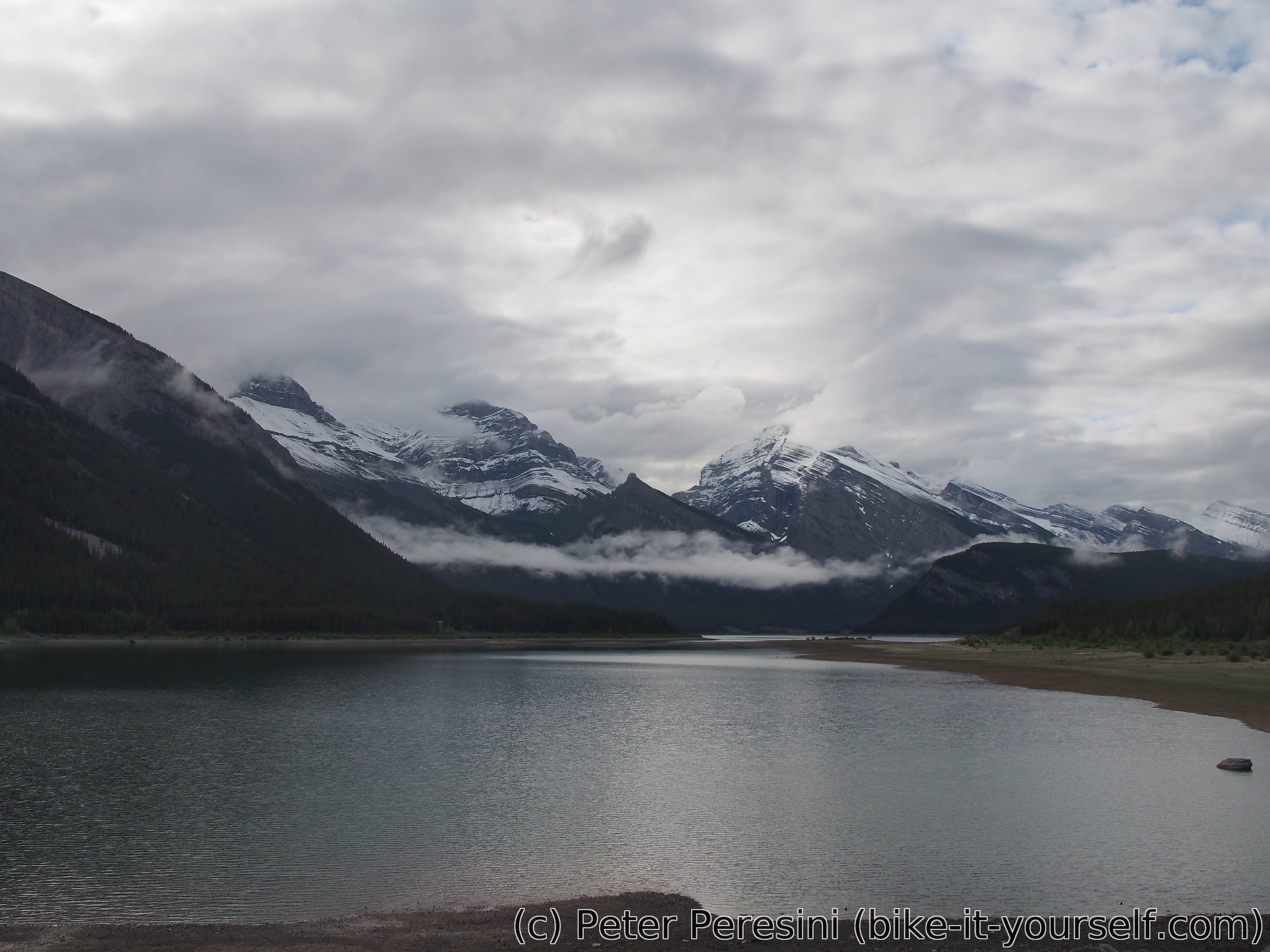
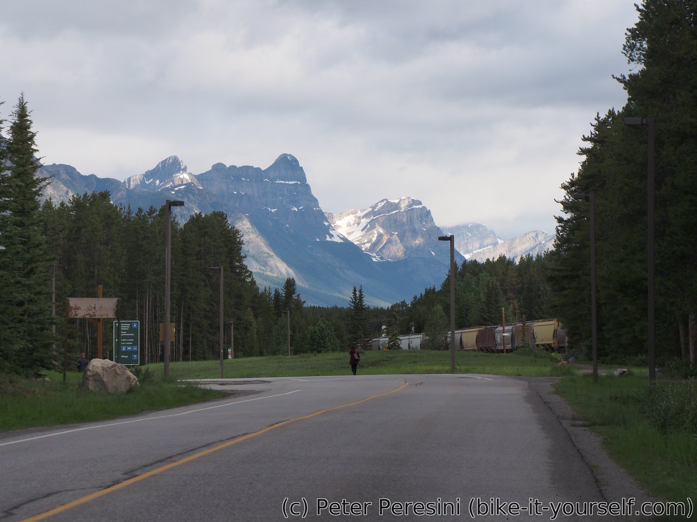
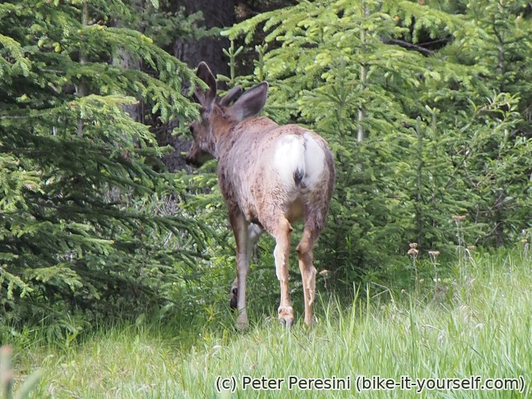
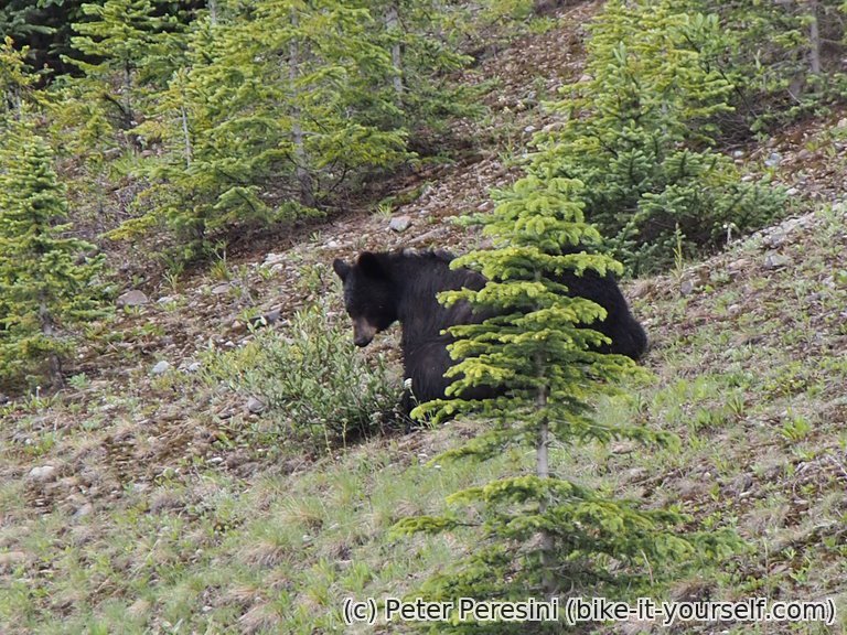
After the hardly noticable pass a similar gradual descend follows until it steepens a bit at the end. But before that we are stopped by people in cars warning us about bears ahead. Sure enough, there are two black bears watching over the road, enjoying a bit of sun. Fortunately they are not interested in us and so we have no problem continuing further. After the descent we join a busy paved road towards Bolton Trading Post where we have a lunch break and buy some overpriced food as our own stock is dangerously low after two stayover days.
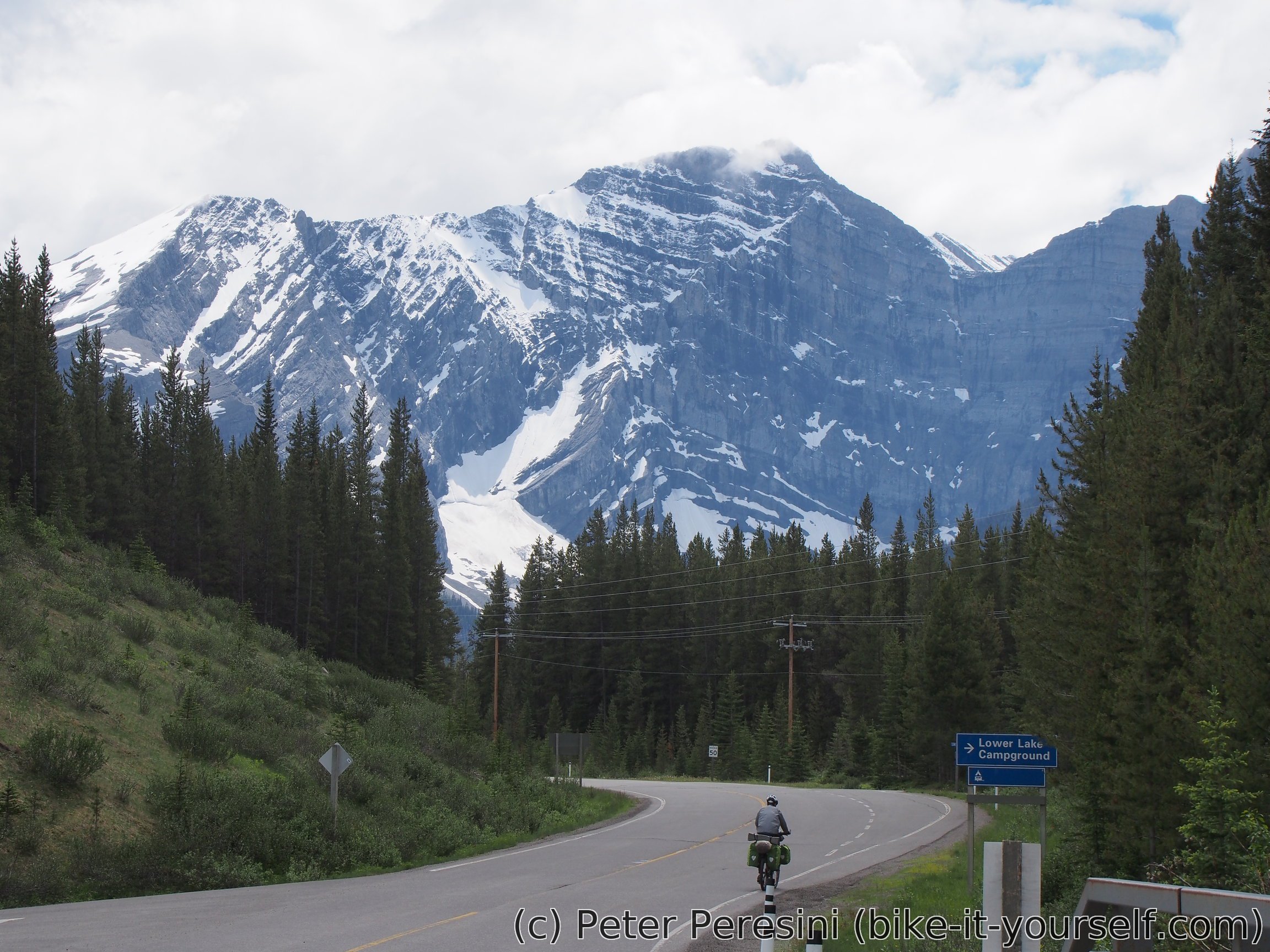
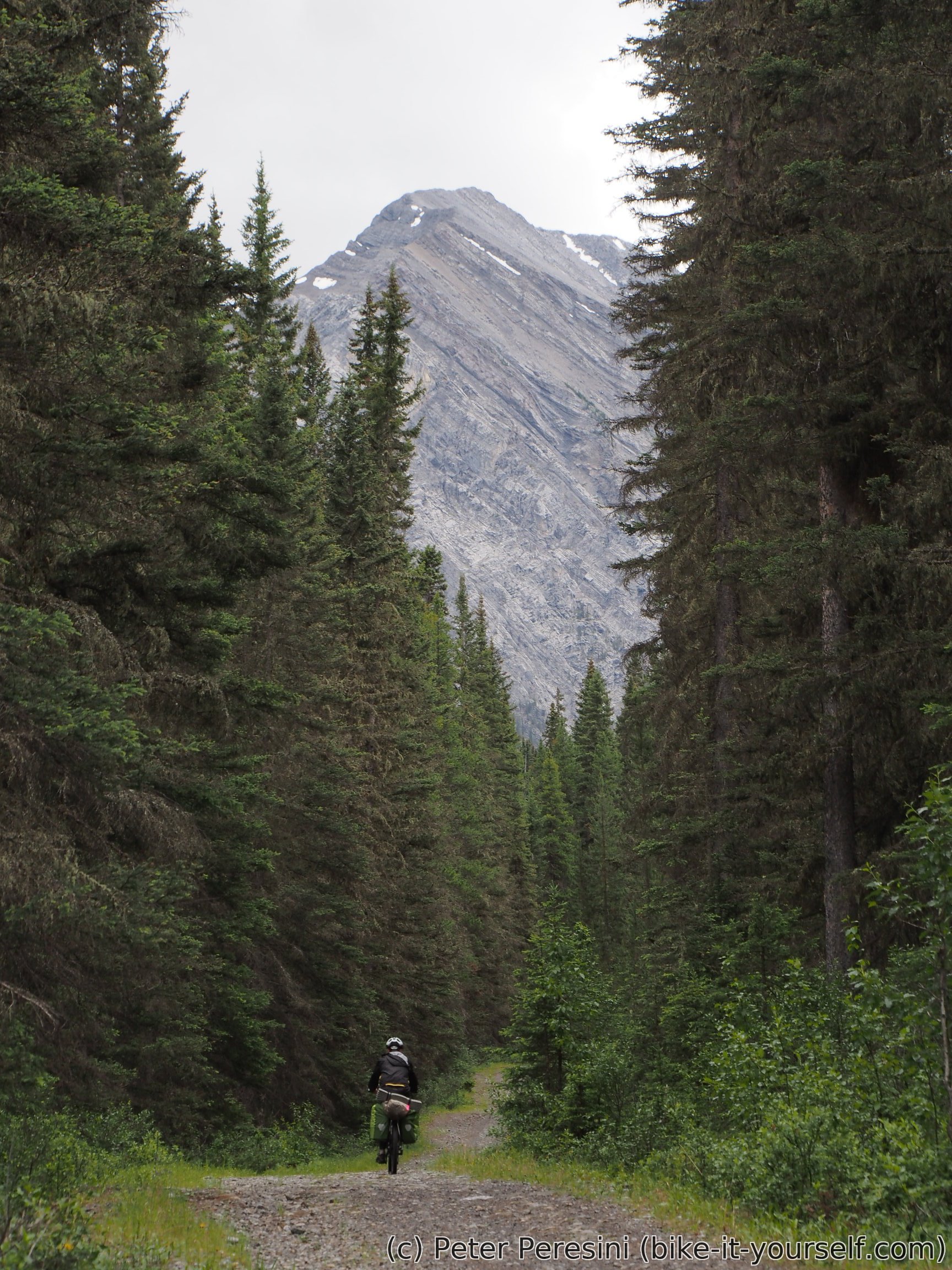
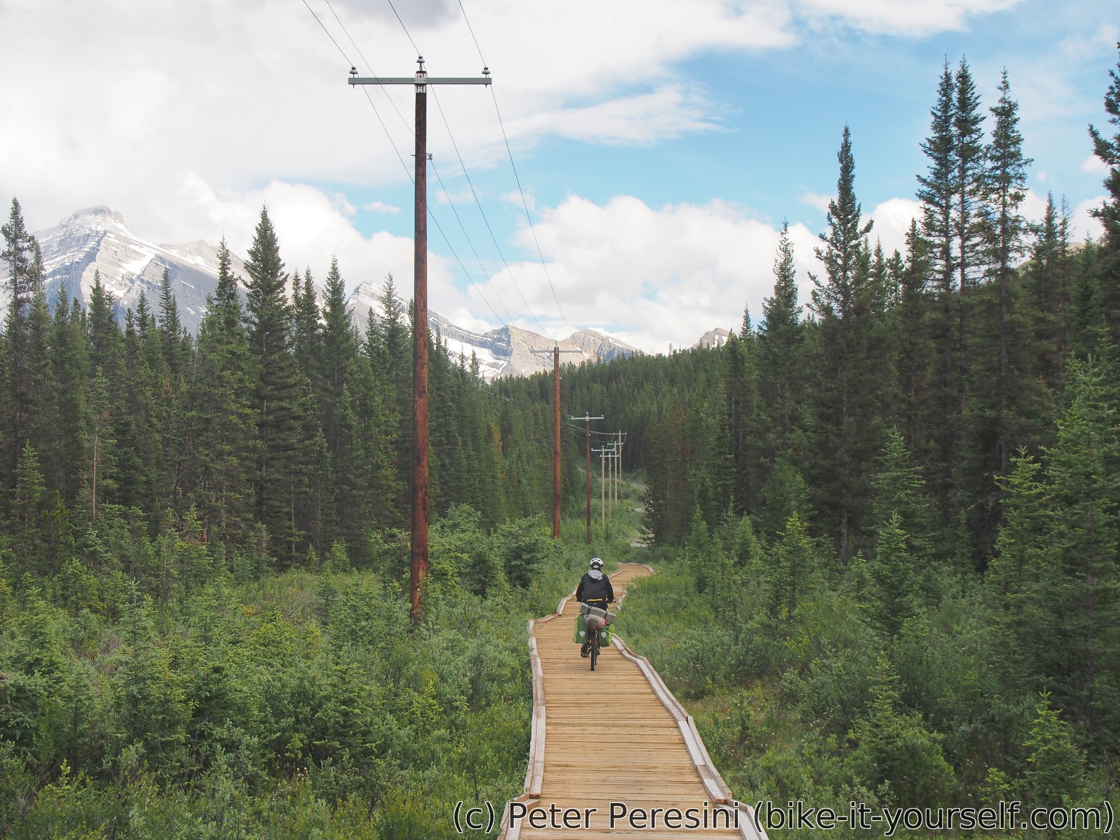
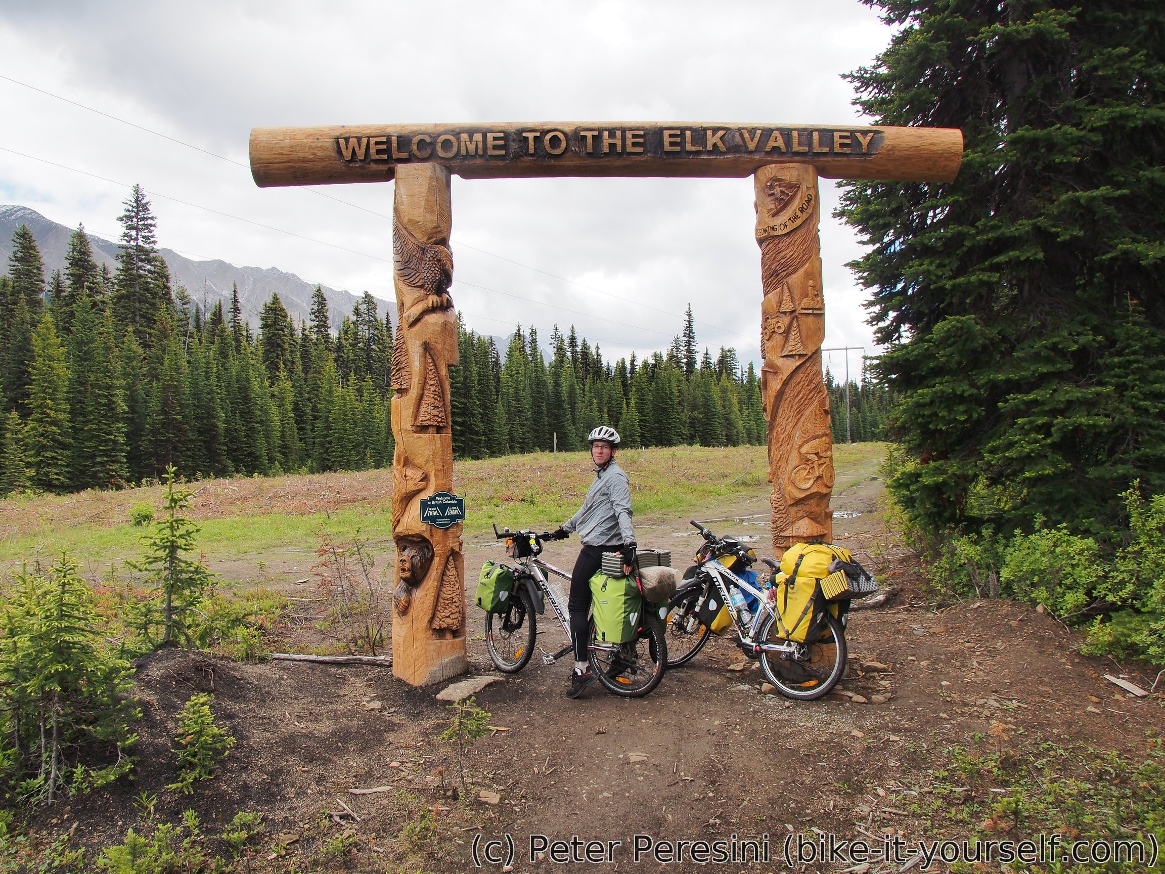
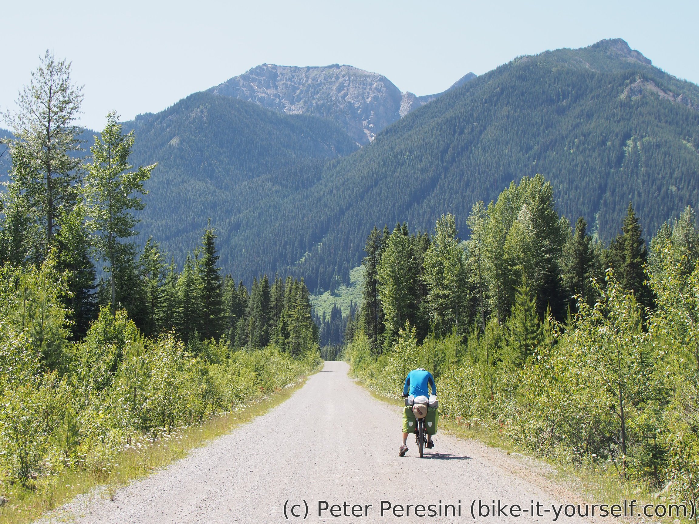
With our bear boxes full we continue to Elk Pass on a road which features some very steep climbs. But the pass isn't too high and we find ourselves passing a big "gate" on the top of the pass before a steep descent on track road.
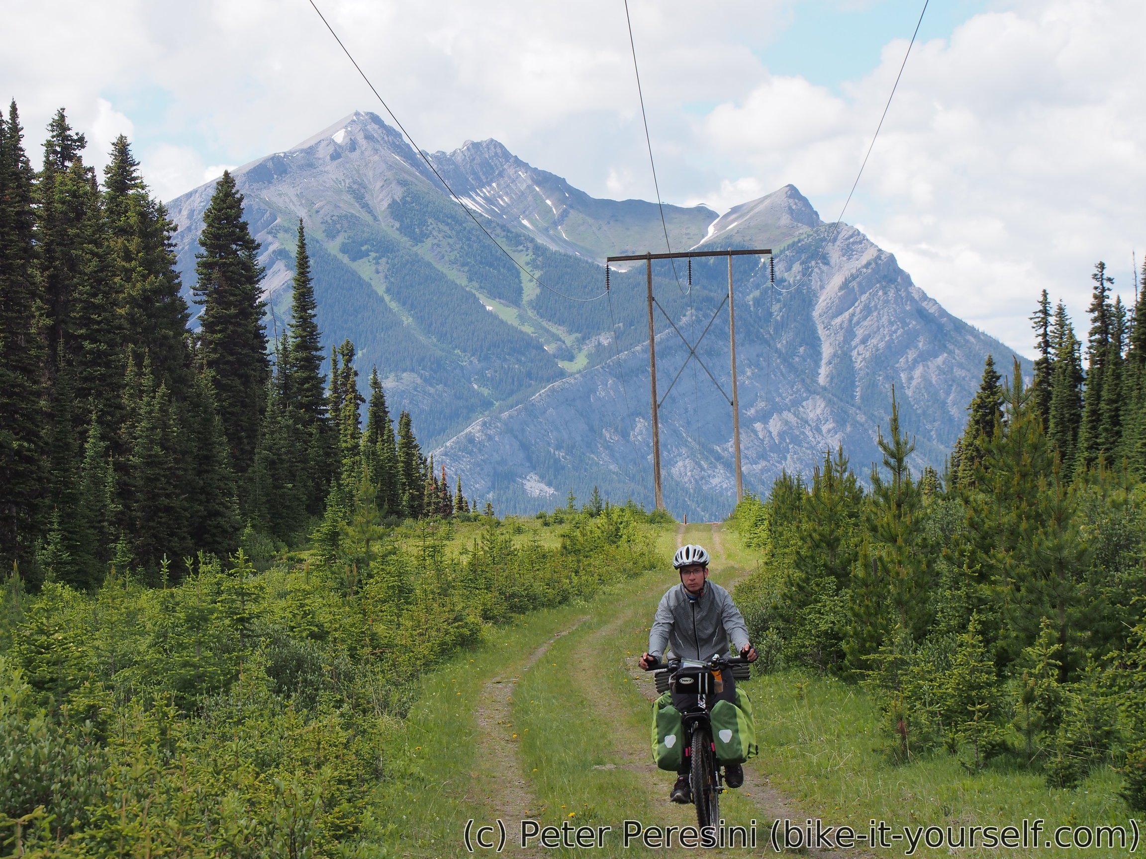
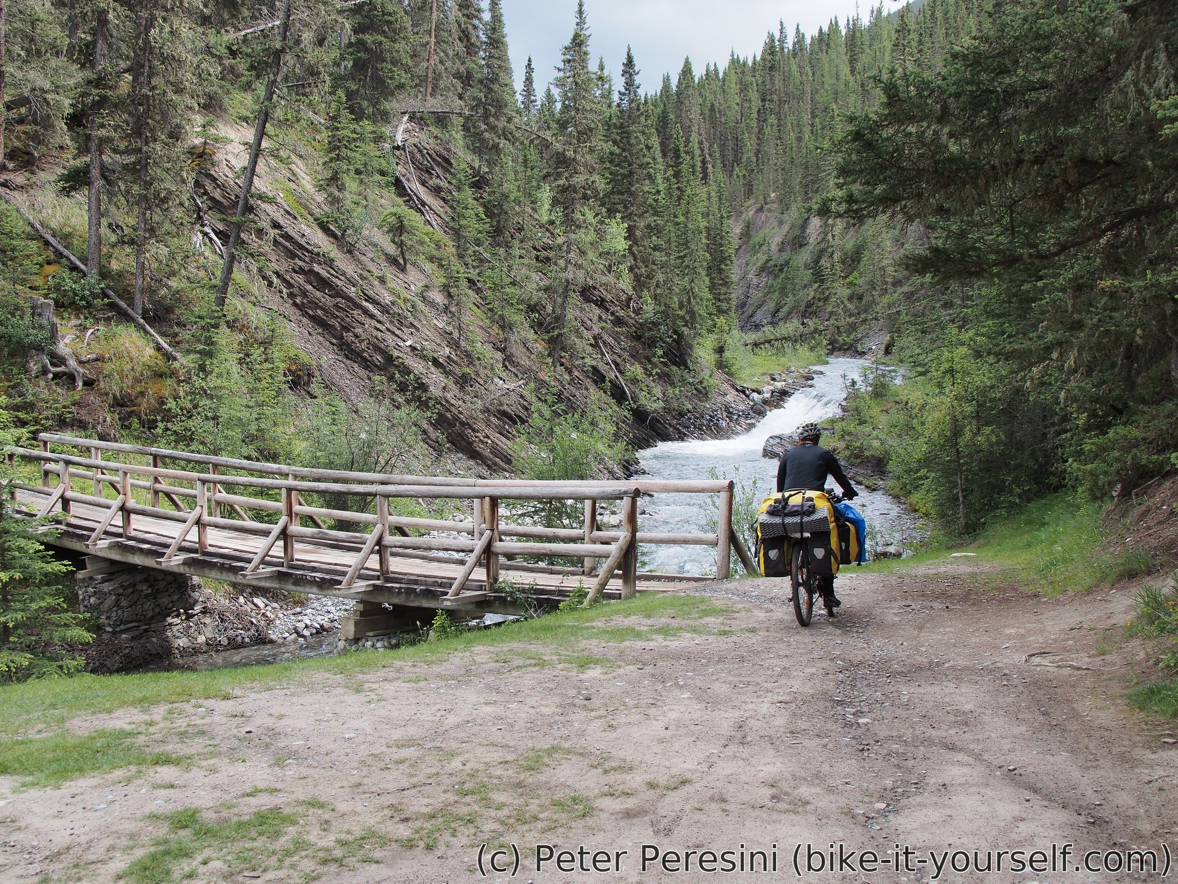
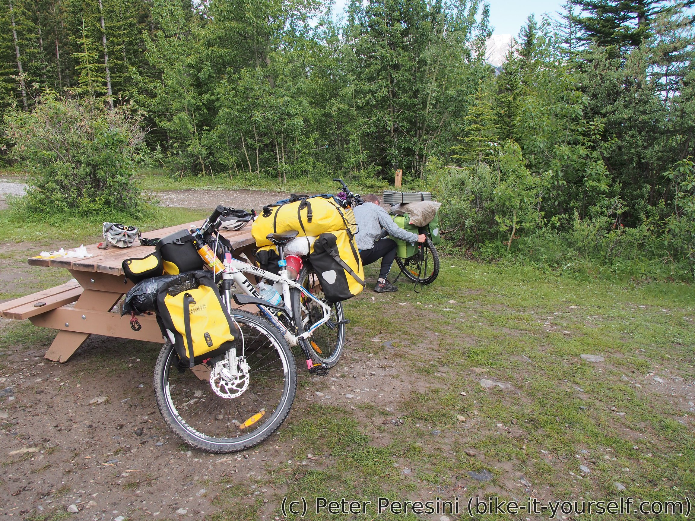
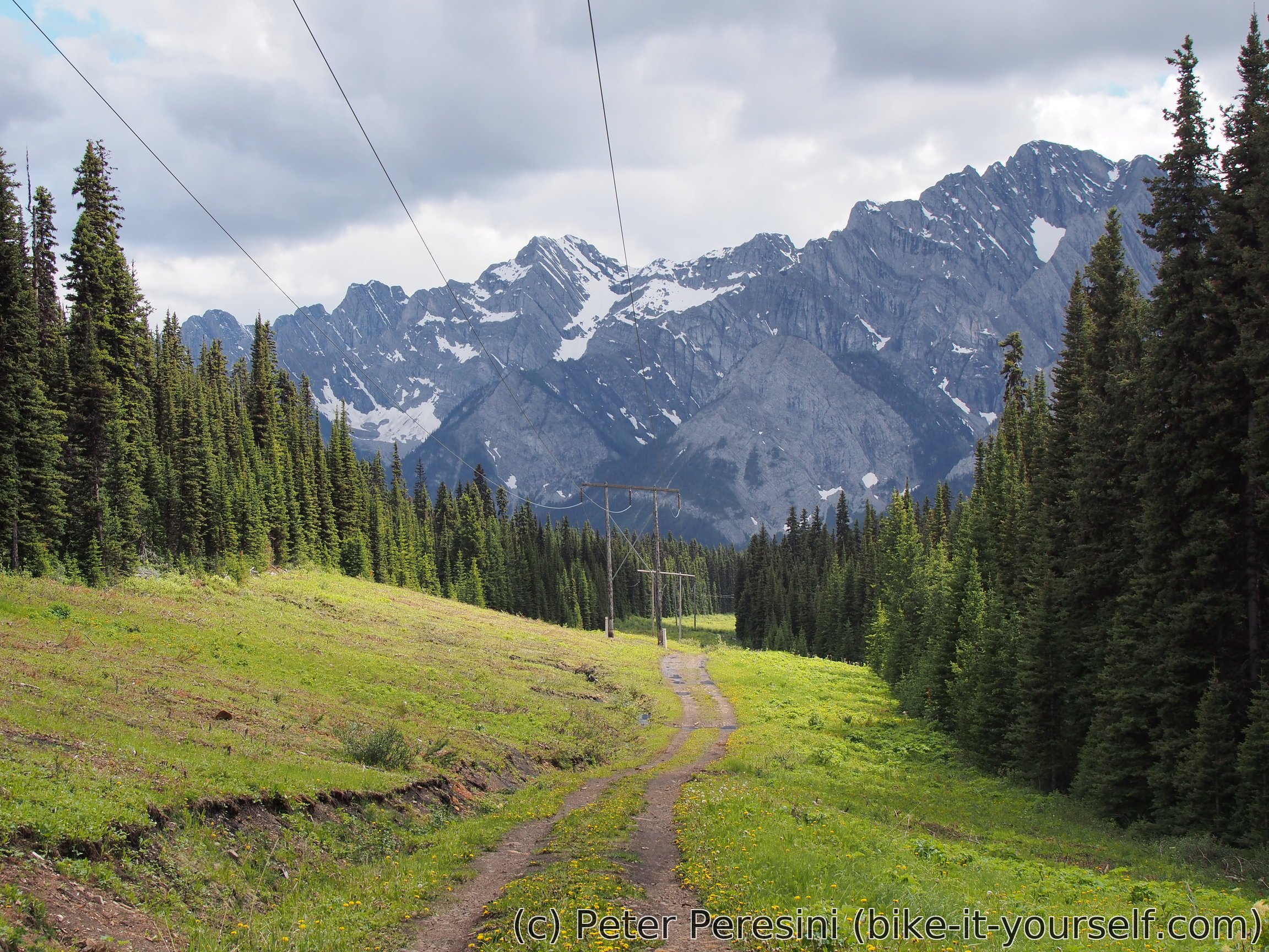
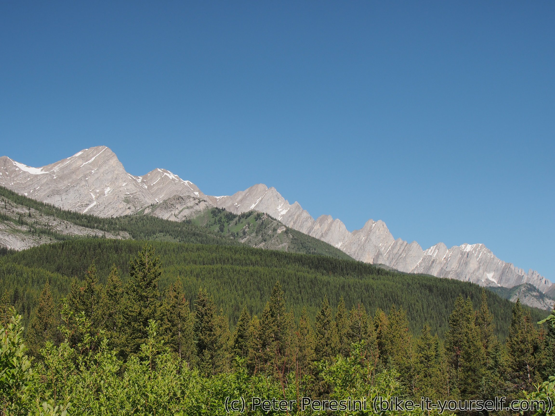
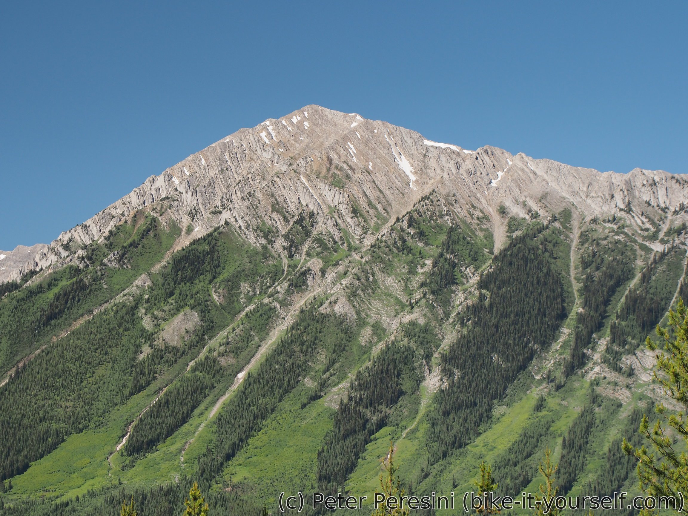
By now the weather clears almost completely and we have nice views of the mountains surrounding the valley we are descending through. Once the steep descend flattens out the road becomes much better shape and we quickly reach a recreation site with a cabin. Looking at the time I would like to push more today so I convince Martin to go further. This returns to me 6km away on another recreation site were there is no cabin, just a wooden table. For the rest of the evening I need to hear complaints about why didn't we stop there and how many mosquitoes are here, etc.
July 5 (Riverside Recreation Site to Sparwood)
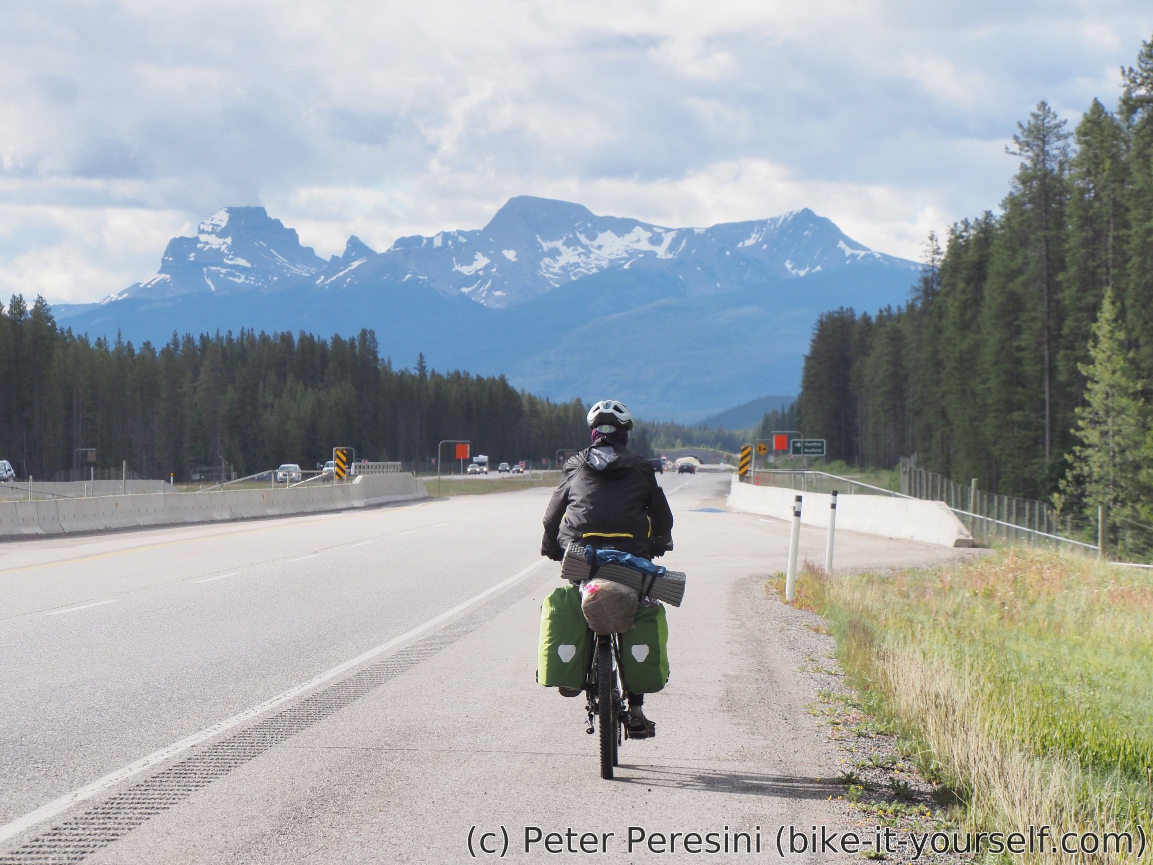
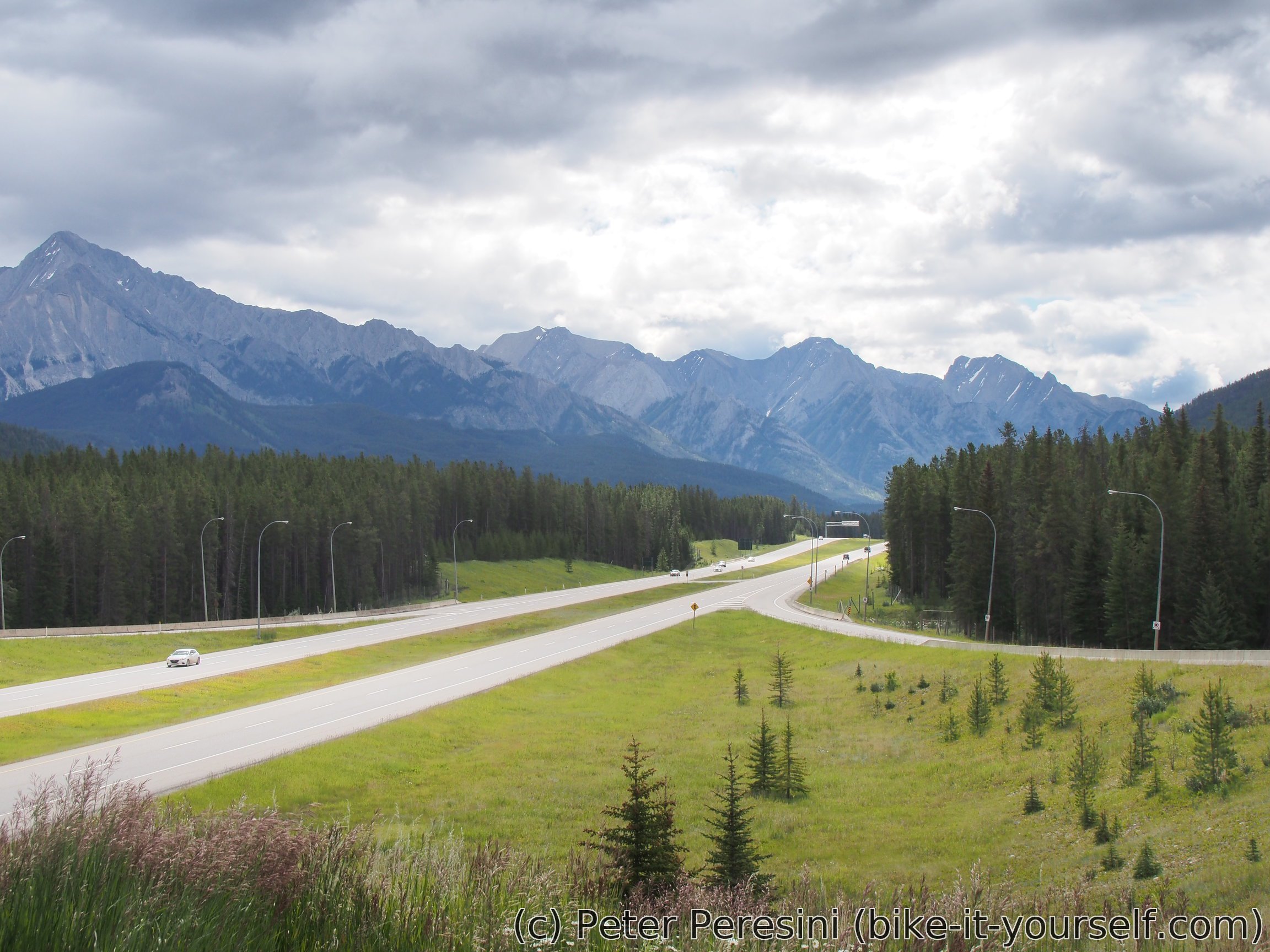
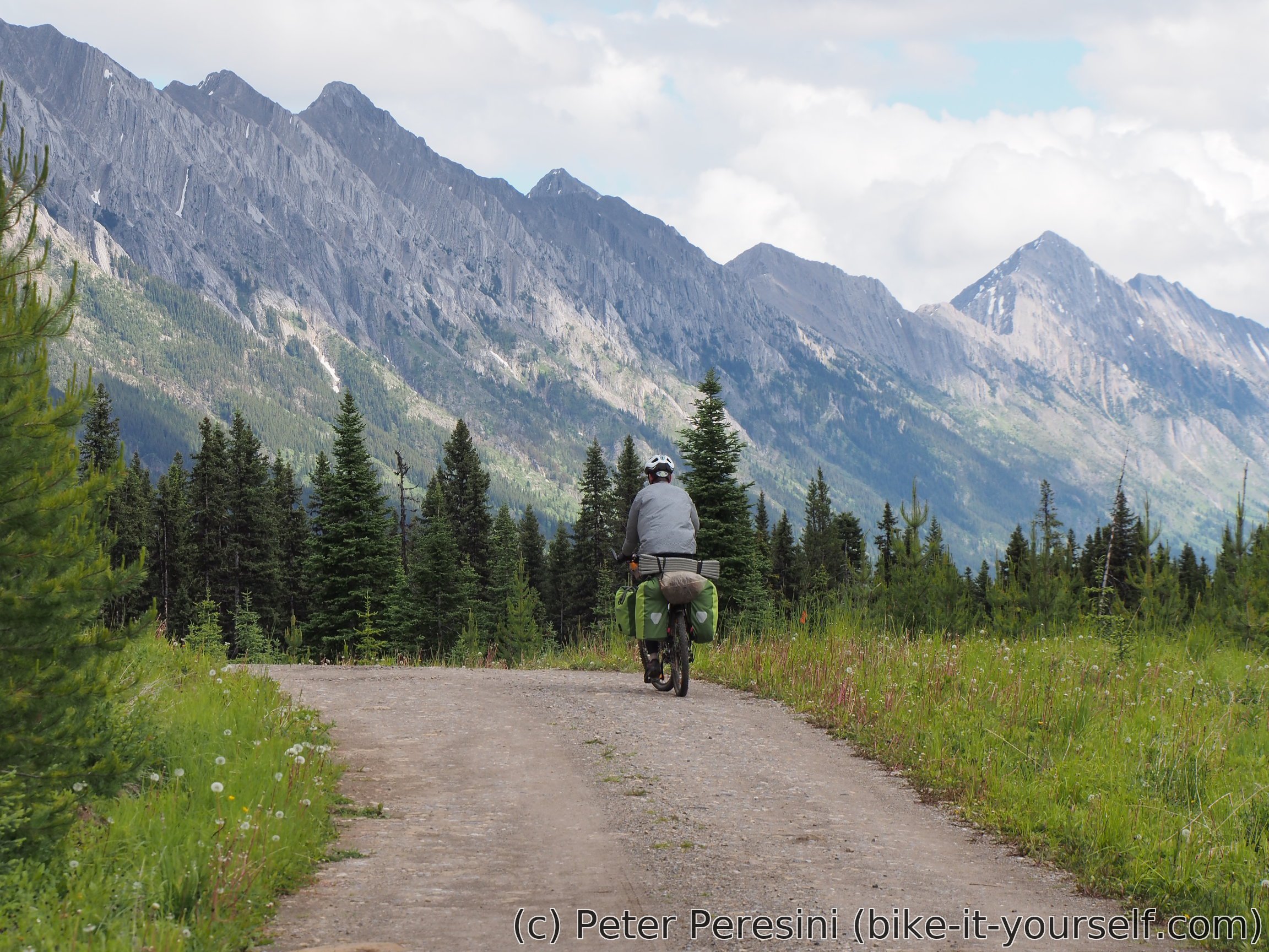
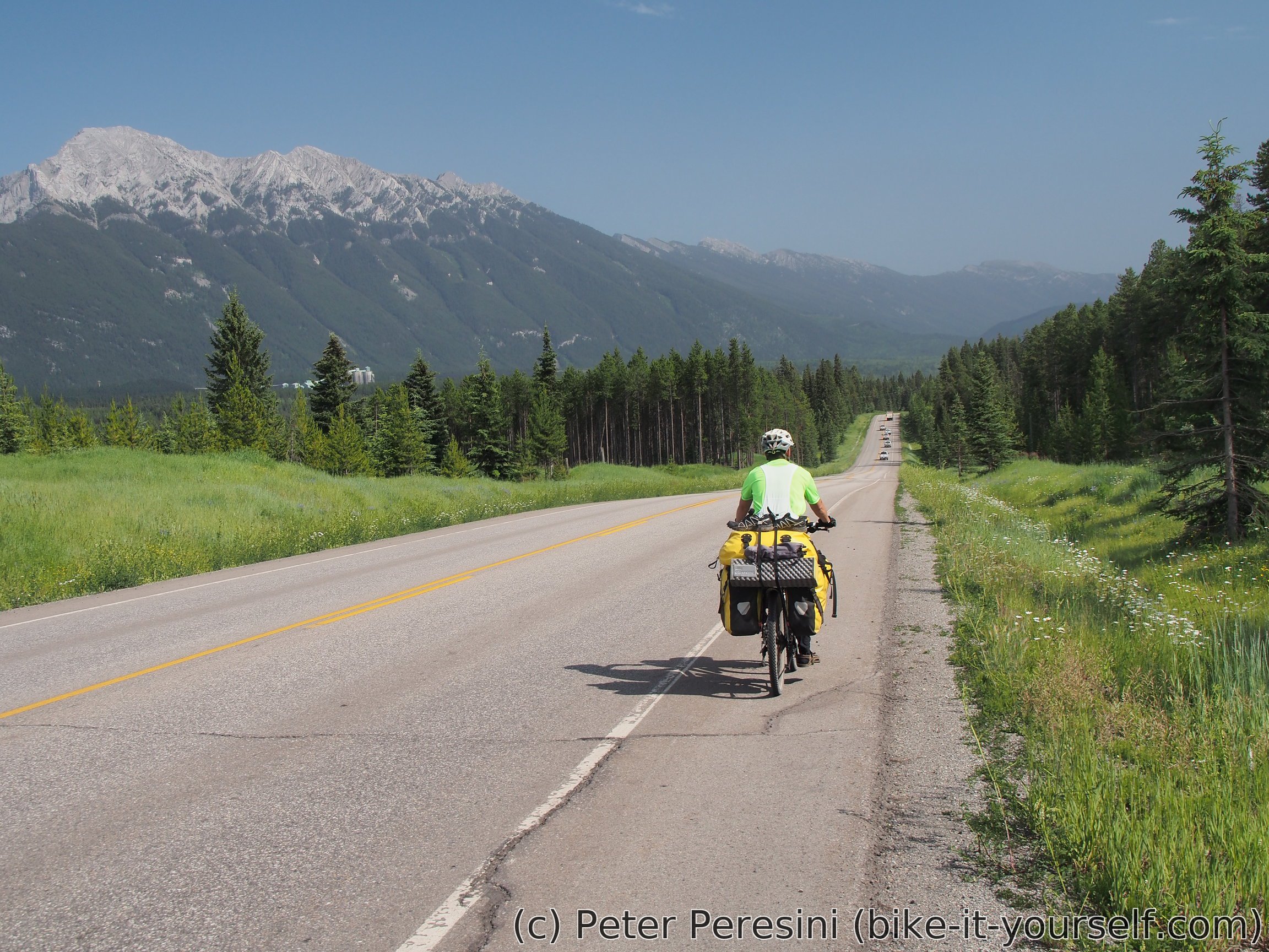
The morning starts with a long though easy ride towards Elkford -- a bit bigger village. By the time we reach Elkford it is already noon. The Sun now shines and it is too hot. We eat our lunch, visit information centre and do local shopping before resuming our ride to Sparwood.


This time we however skip the GDMBR route and choose paved highway instead. The main reason behind this decision (apart from the fact that we probably wouldn't be able to make it on time through the original route) is that our guidebook suggests that the road was destroyed a few years ago. We will later learn that this was a wise decision -- our Dutch friends tried it and returned the way they come though there were some Canadian cyclists who carried bikes over the damaged section.
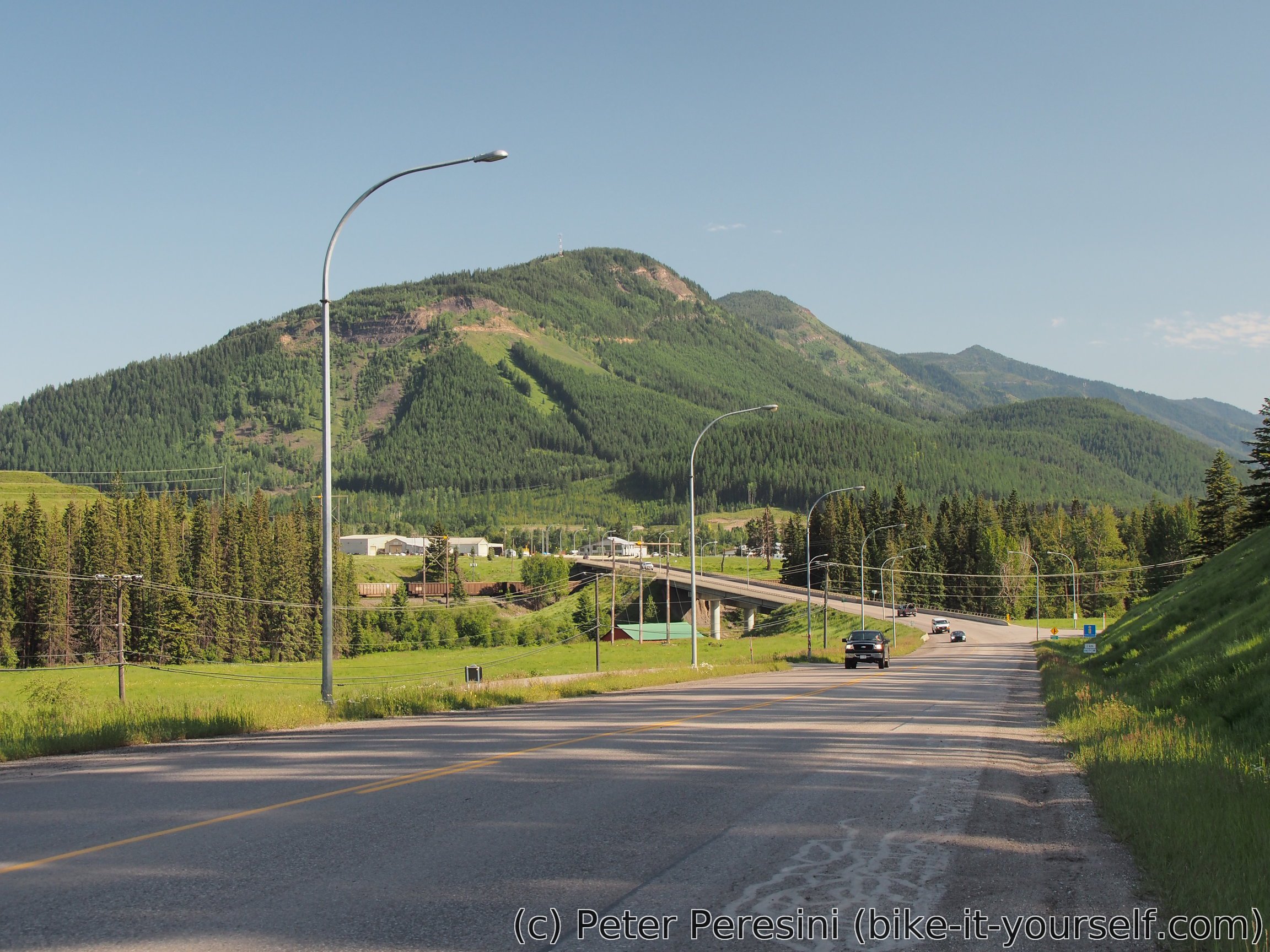
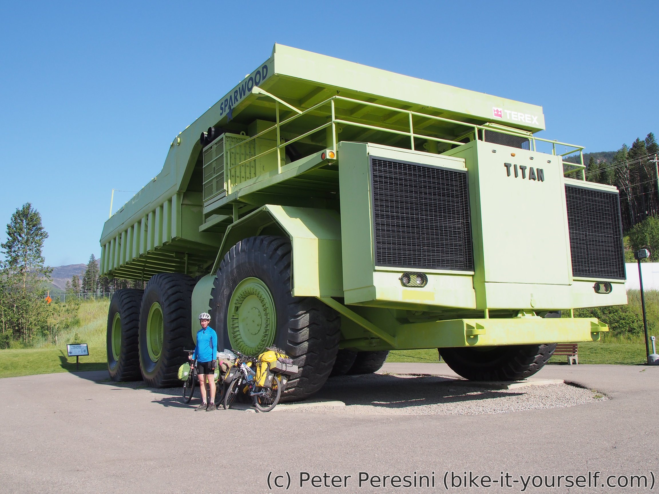
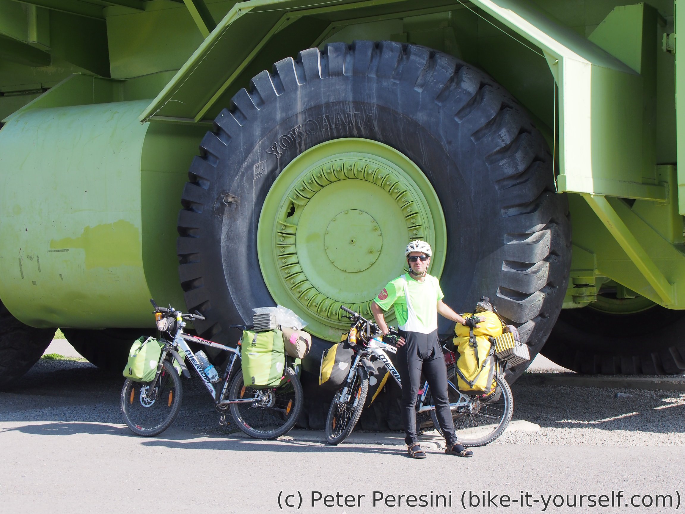
Riding pavement to Sparwood in heat wasn't too enjoyable but it did the job and we found ourselves standing at the main "downtown" area of this mining city/village. The main attraction here is supposedly the biggest coal-carrying truck ever built. True enough, the truck is a real monstrosity when compared to tiny cyclists. Passing through the downtown we continue towards a local campground which is quite nice and then we return back for some serious Subway belly-stuffing-for-relatively-cheap-price.
Route
Download simplified GPX of a route here
Stats by activity:
| Activity | Distance (km) |
Ascent (km) |
Pedal rotations (thousands) |
|---|---|---|---|
| bike | 272 | 2.0 | 45 |
| Date | Distance (km) |
Ascent (km) |
Avg. temp (moving, C) |
|---|---|---|---|
| July 1, 2018 | 92.3 | 0.71 | 12.5 |
| July 4, 2018 | 81.7 | 0.77 | 11.7 |
| July 5, 2018 | 98.2 | 0.52 |
Elevation data
The next table is only for cycling activity.
| Grade(%) | Ascent (km) | Descent(km) |
|---|---|---|
| < 2 | 152.2 | |
| < 4 | 18.8 | 26.9 |
| < 6 | 8.9 | 7.7 |
| < 8 | 3.5 | 2.7 |
| < 10 | 1.8 | 1.3 |
| ≥ 10 | 2.0 | 2.6 |
<a href=http://vscialisv.com/>cialis vs viagra
<a href=http://vsviagrav.com>viagra online without prescription+25 mg
hydroxyquine side effects https://keys-chloroquineclinique.com/
8, and Hodgkin s disease 3 <a href=https://ciali.sbs>cialis vs viagra</a>
Remarkable! Its genuinely amazing piece of writing, I have got much clear idea regarding from this paragraph.
No patient with a normal BMD became osteoporotic at 1 year <a href=http://cialis.lat/discover-the-best-prices-for-cialis>generic cialis online pharmacy</a>