El Calafate to El Chaltén
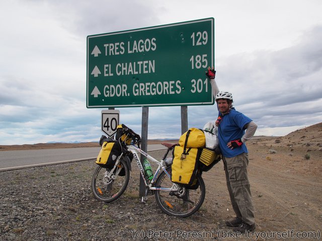
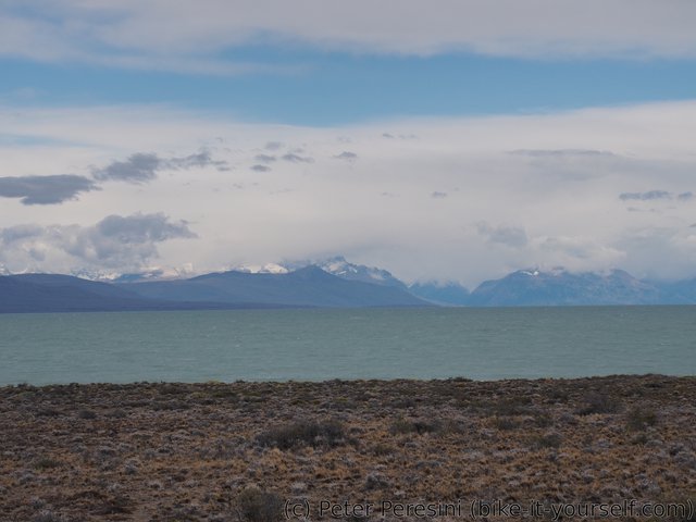
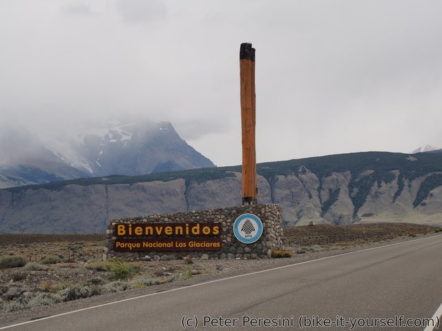
The next stretch of a road I need to take is 210 km of paved road through pampa to another touristy place - El Chaltén. Unfortunately, the second part of the road goes directly against the headwinds. As such, I am looking up the wind forecast and plan my stay in El Calafate so that the winds are going to be a bit slower.
January 1
I start slowly from El Calafate. On my way, I am passing near Walichu caves which should have some nice prehistoric drawings. Unfortunately, the place is closed today (maybe because it is a New Year day) so I am continuing further.
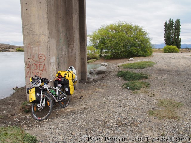
After I pass the junction to the north, the terrain starts to be a bit flatter and I am overtaken by a duo of British cyclists -- Tom and Harry. As it looks like it is going to take a rain and my stomach is ready anyway, I am stopping below the bridge crossing La Leona river for a lunch.
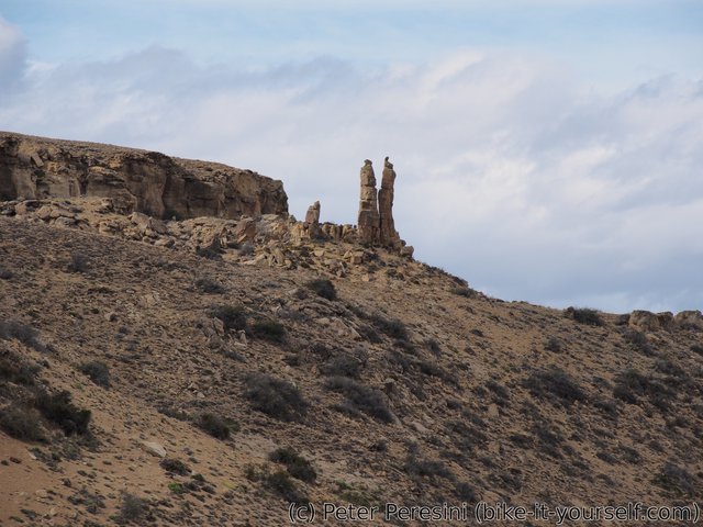
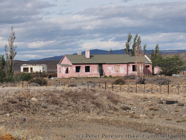
I then continue and in the evening there is some small headwind and I am really tired because I already did a lot of kilometers. But I know there is "casa rosada" down the road -- an abandoned restaurant which is quite famous between cyclists for staying there. I am almost deciding to stop sooner but in the end I push hard just finish a day there. I am quite tired and I am meeting Tom and Harry again. They were here for quite some time and went to view a nice rock formation.
In the evening even more cyclist arrive and we are total of 7 people sleeping in this place.
January 2
After a quick help from Tom and Harry to get the bike over fence (or more precisely bend the fence so that I can roll my bike over it), I am starting at 8 am in the direction of Hotel La Leona. It is a nice (but I hear expensive place) to camp, near a bridge over the La Leona river. At La Leona I see the first signs of future trouble -- the wind is slowly picking up and while it is tailwind right now, it won't last forever.
After maybe 20 more kilometers the road to El Chaltén just turns almost completely back on itself and I am battling the headwinds right now. Still, the headwinds are doable, though not really pleasant to go against.
However, at 3 pm, when I climb a small hill and descend maybe 100 m of elevation, I am facing the heavy Patagonian wind (for a naming reference, see this blog post).
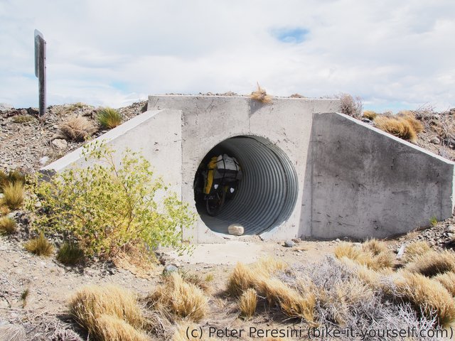
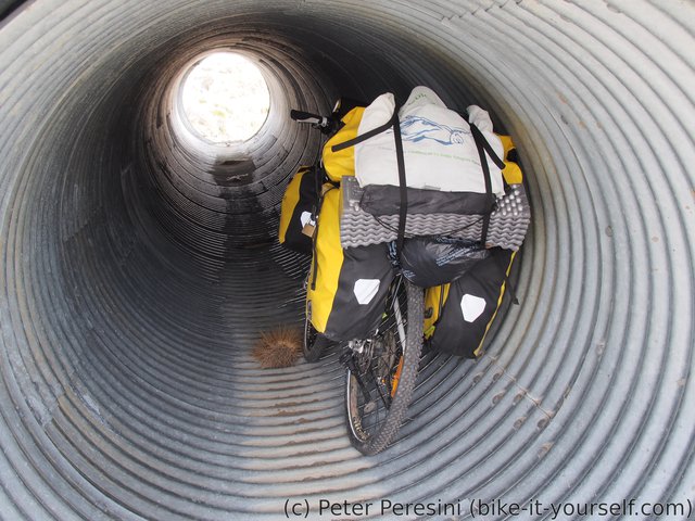
I am quickly calling it a day in a ditch with a nice and big under-road tube. I am resting for the rest of the day and sleeping without a tent just inside the tube.
January 3
The tube didn't prove to be a completely non-windy place. There was a slight draft through it overnight and thus it was quite cold. Still, it was better than trying to pitch a tent in the raging wind.
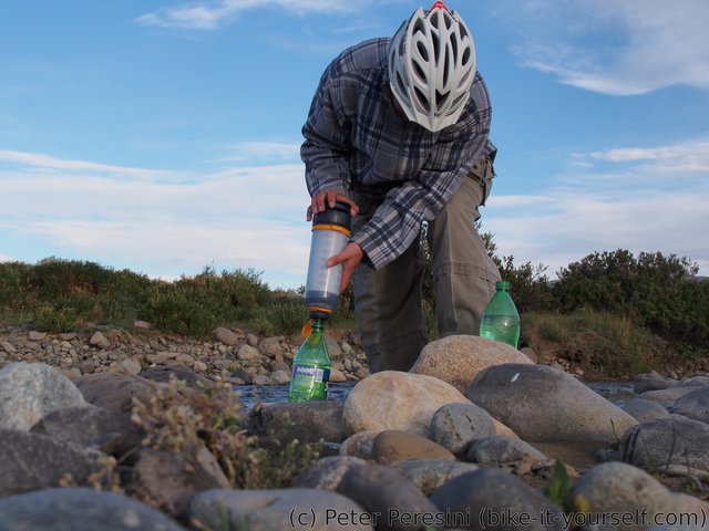
As I had a wind forecast, I knew that I have to start early. I am waking up at 5 am and slowly getting to work. I am taking off at 6:15 when there are already first rays of the sun. In just a few kilometers I am stopping to get water from a river, the first water after La Leona place. So far the wind is relatively light but I know it will pretty quickly ramp up and I hope to do at least 40 kilometers (I have over 60 km to El Chaltén and while I wanted to reach the town today, I am not so sure anymore).
On my way I am meeting a very old cyclist from Italy and then a duo of an older Australian guy and Brazilian. The Australian guy is pretty funny and we exchange some information. They tell me that the cheapest place for camping in El Chaltén is Casa de Cyclistas for 100 pesos/night.
As I continue further, I suddenly have a problem. A musle on my left leg just completely complains. I think I stretched it two days ago when I was using much more force than rotations on the pedals and now it is just coming back to me. I still have 25 kilometers to go and it is going to be quite painful. Plus there is some uphill to do. Fortunately, somehow I manage to unload the leg by rotating pedals more quickly and using mostly right leg to do it. I don't even how but after the hard day in saddle I am reaching El Chaltén which invites me with a light drizzle.
I am heading to the park information office where I get a map of hikes as well as some information about a 4-day hike that needs a special equipment. Afterwards I go to the casa de cyclistas camping place which isn't exactly the best place ever. It is basically camping inside a garden of a small house. Unfortunately, the place isn't really prepared well for many visitors -- the kitchen is small and there aren't enough power sockets and of course everybody wants to charge their phone.
Route
Download simplified GPX of a route here
Stats by activity:
| Activity | Distance (km) |
Ascent (km) |
Pedal rotations (thousands) |
|---|---|---|---|
| bike | 219 | 1.1 | 45 |
| Date | Distance (km) |
Ascent (km) |
Avg. temp (moving, C) |
|---|---|---|---|
| Jan. 1, 2017 | 98.4 | 0.57 | 18.5 |
| Jan. 2, 2017 | 57.7 | 0.22 | 14.6 |
| Jan. 3, 2017 | 63.1 | 0.28 | 12.7 |
Elevation data
The next table is only for cycling activity.
| Grade(%) | Ascent (km) | Descent(km) |
|---|---|---|
| < 2 | 159.4 | |
| < 4 | 14.7 | 11.7 |
| < 6 | 5.3 | 3.1 |
| < 8 | 1.5 | 1.4 |
| < 10 | 0.1 | 0.1 |
| ≥ 10 | 0.2 | 0.1 |


