
Vilcashuaman to Paras
 Share:


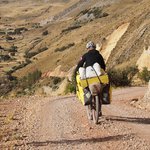
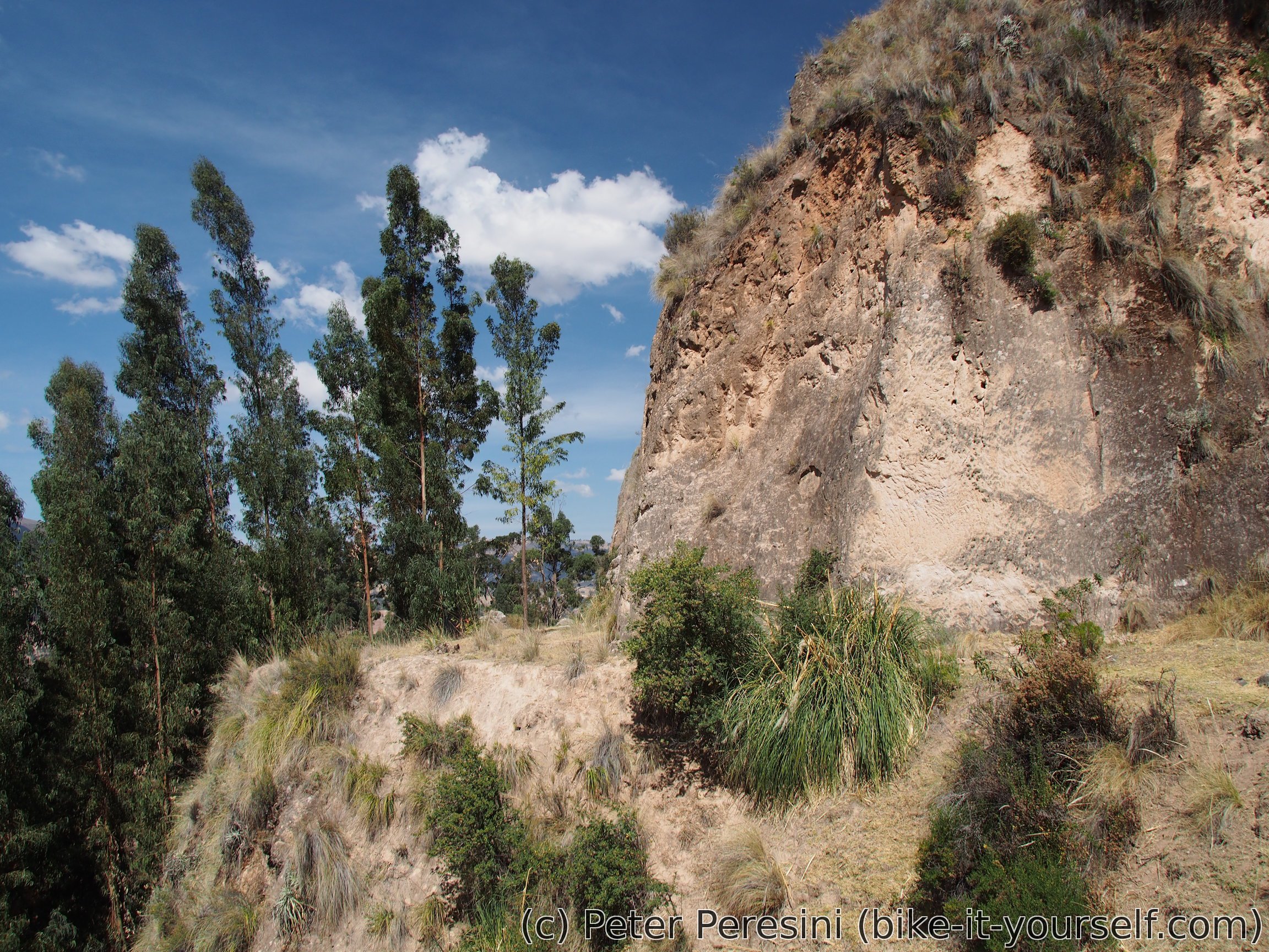
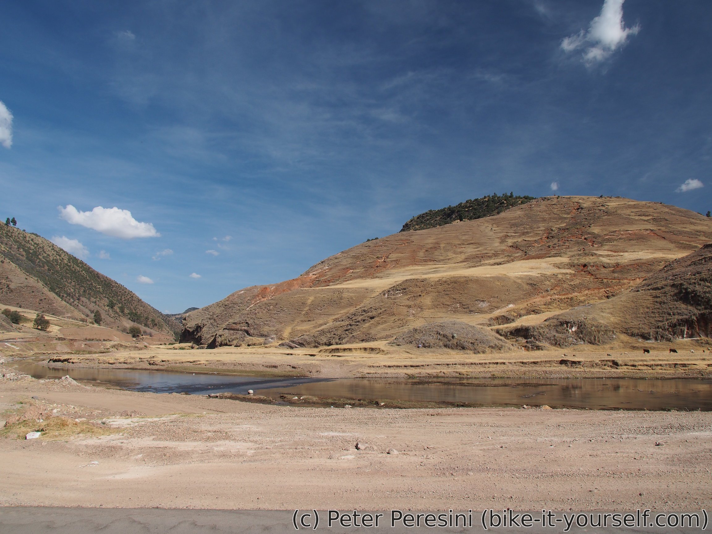
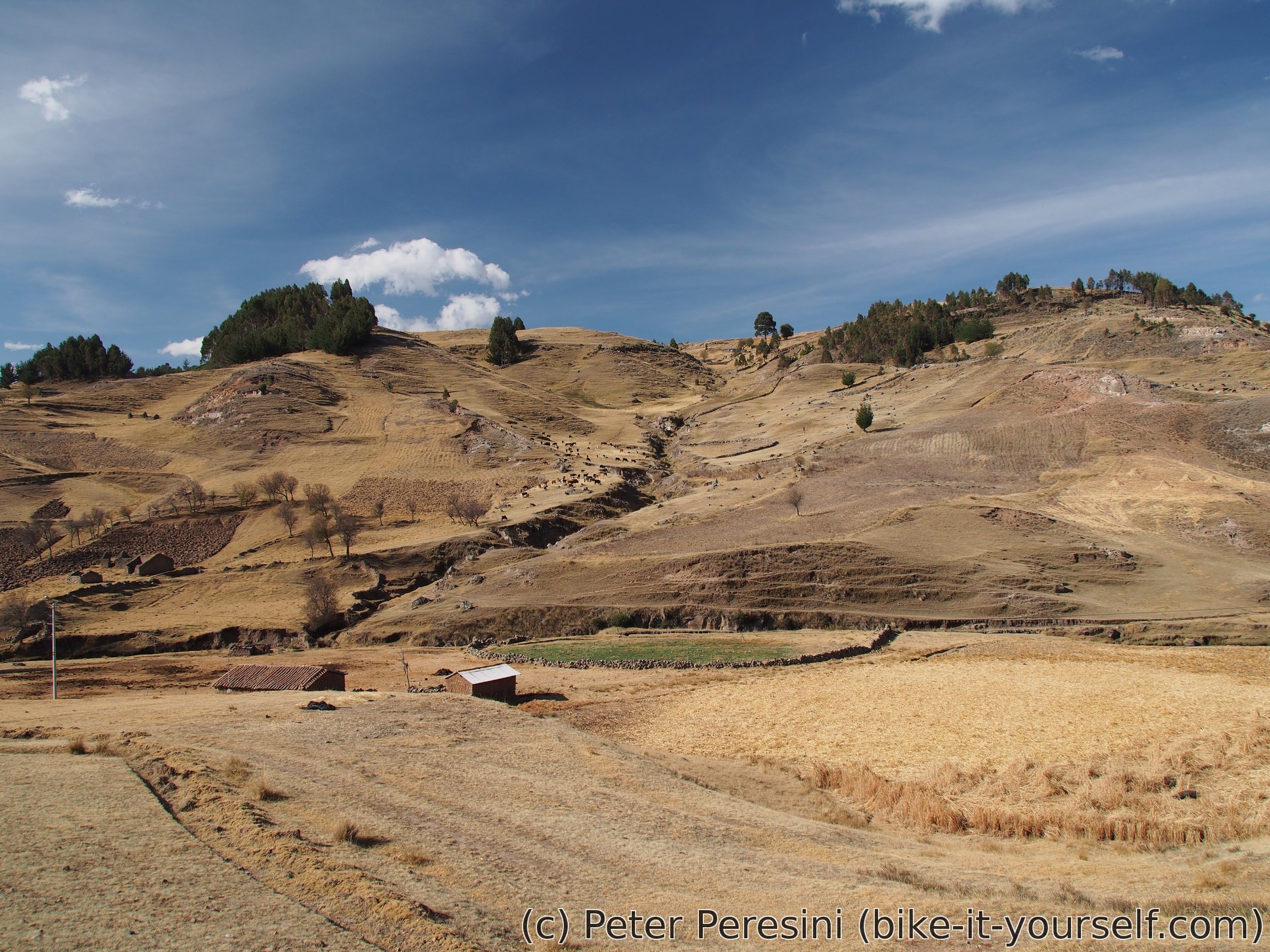
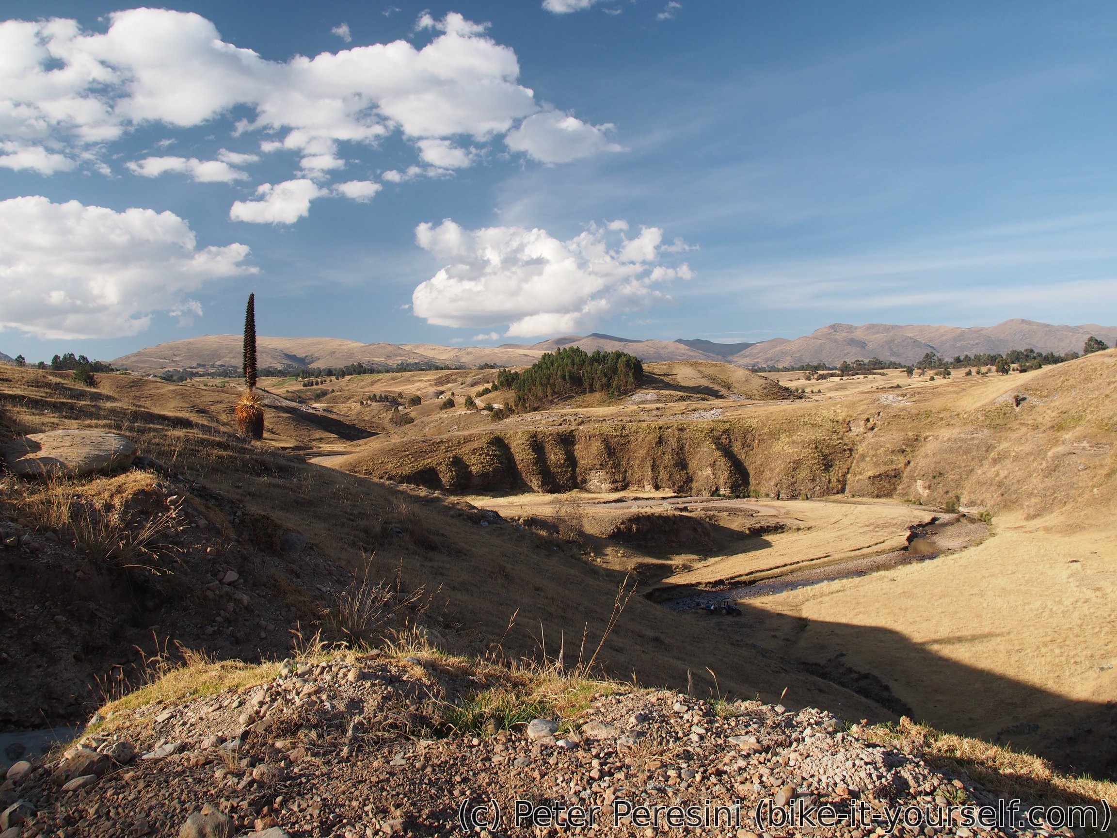
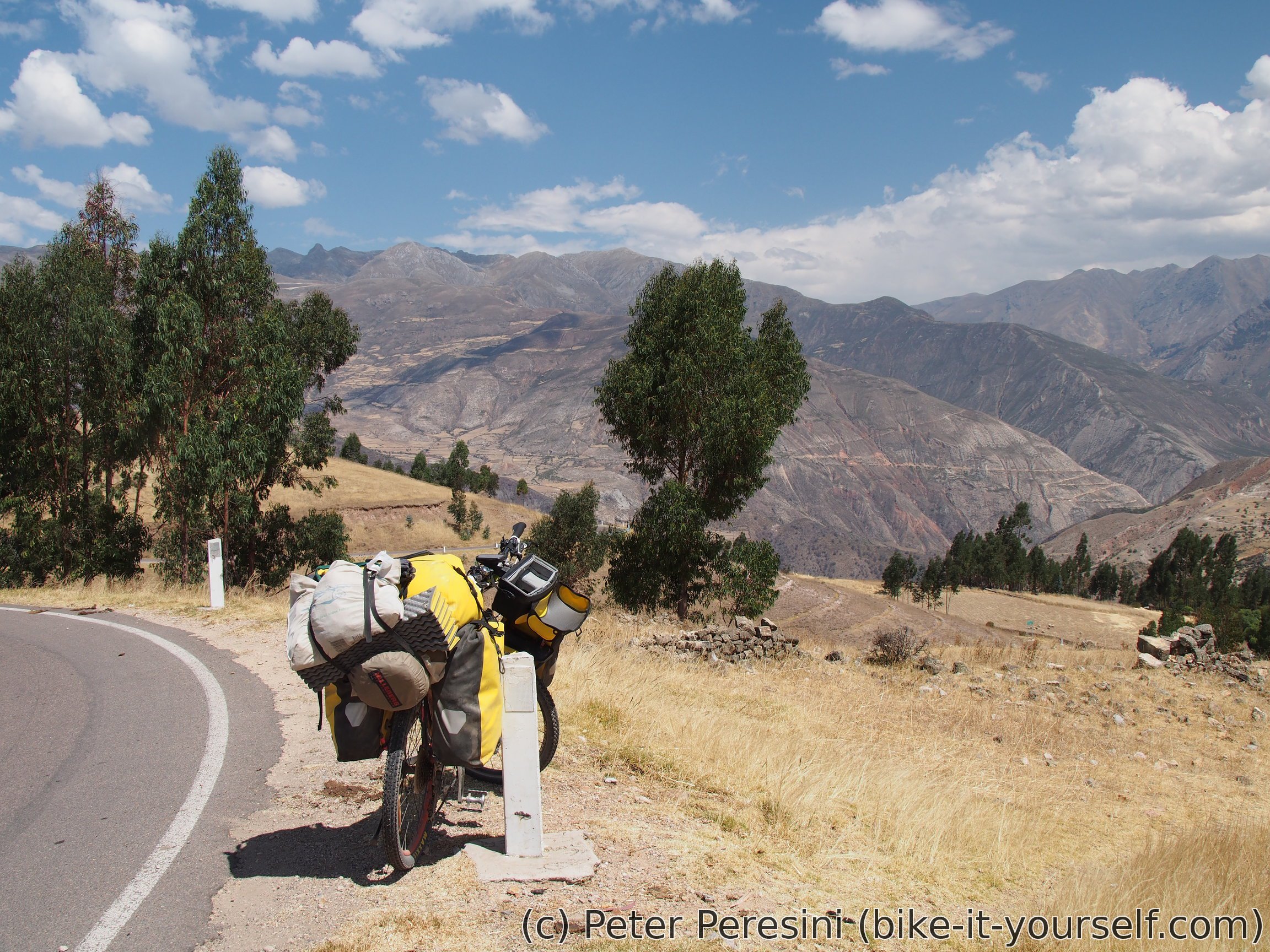
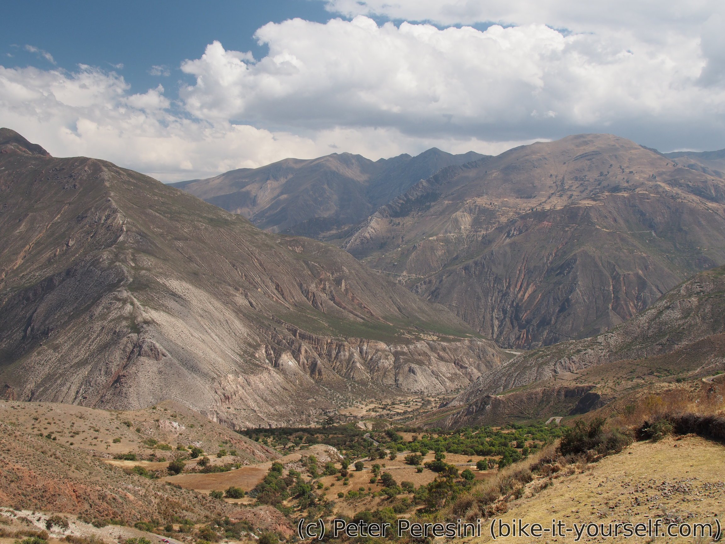
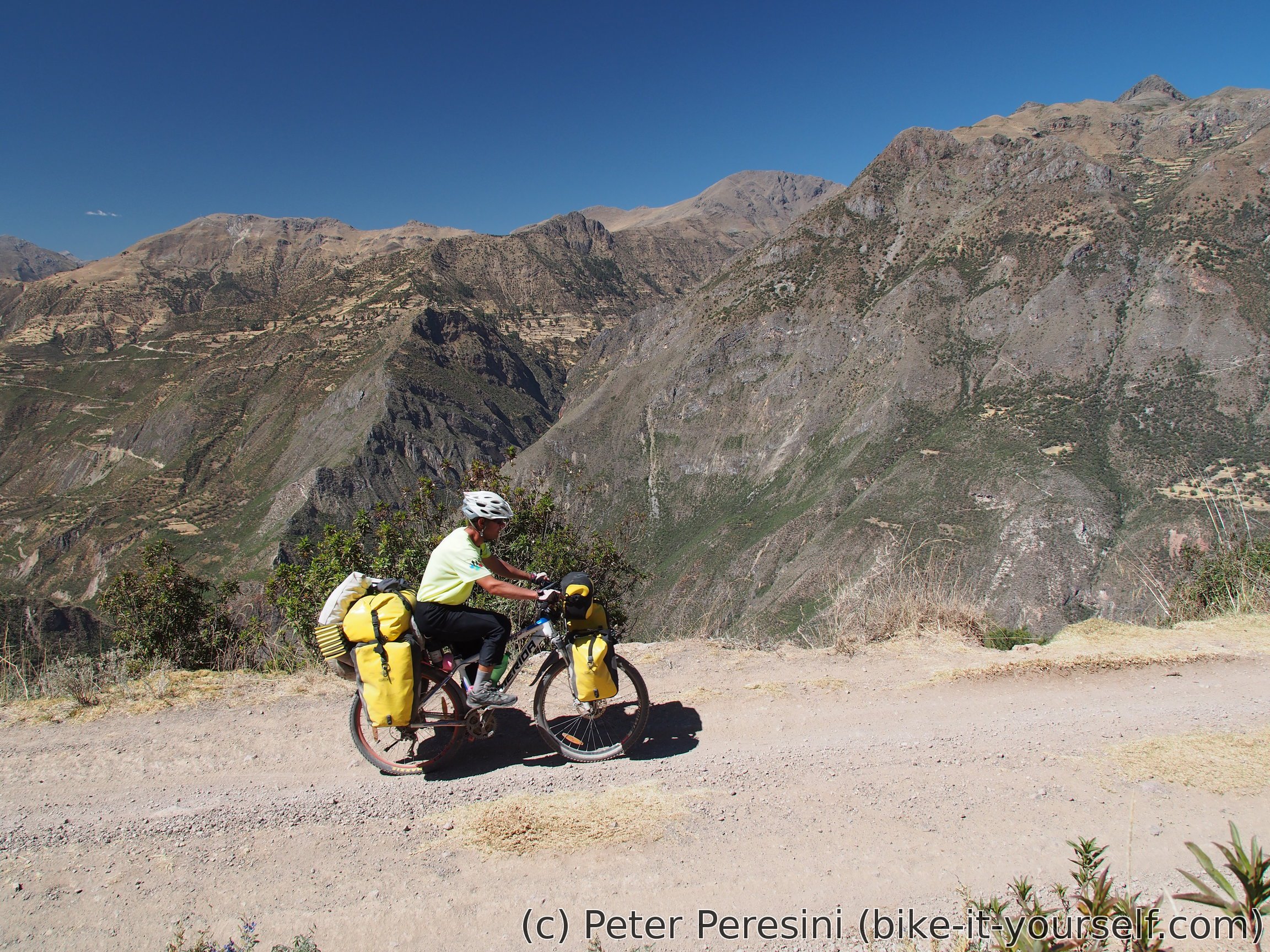
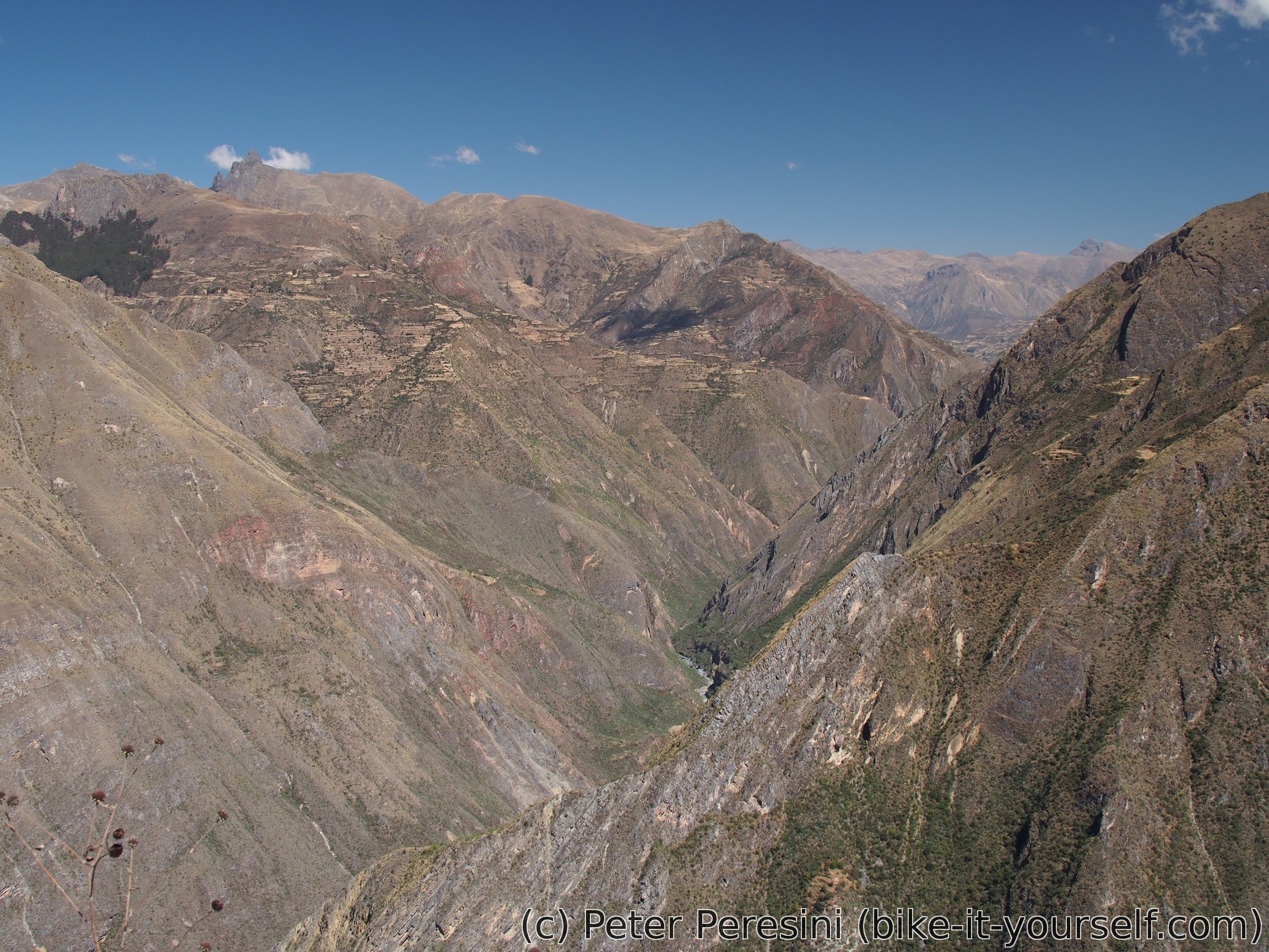
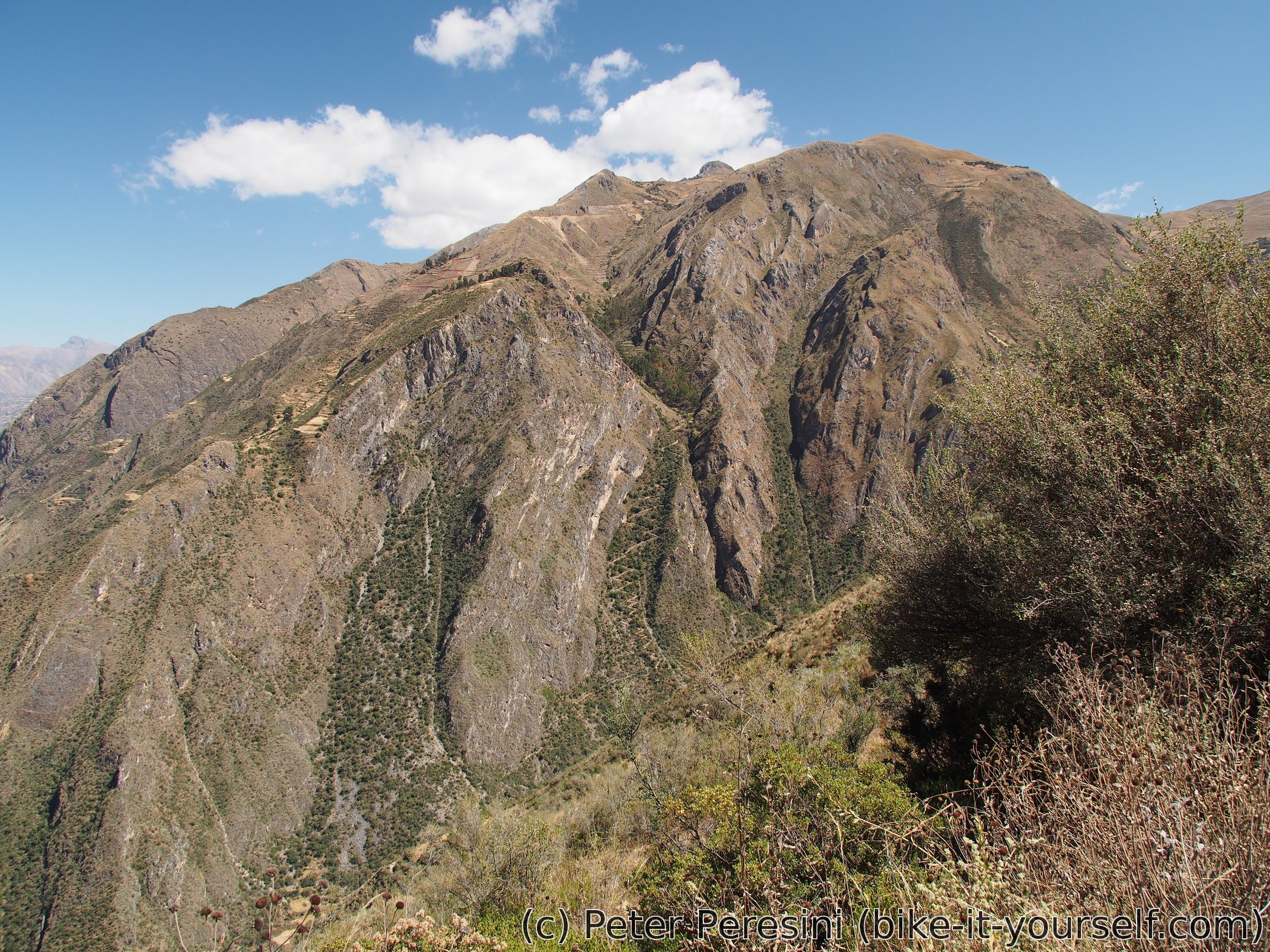
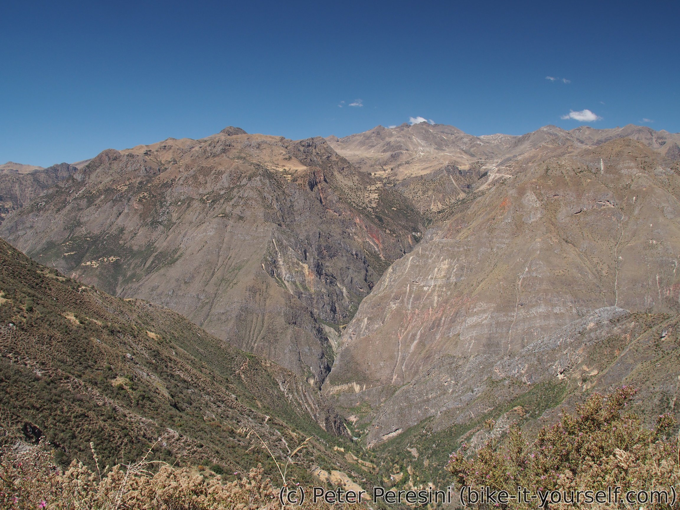
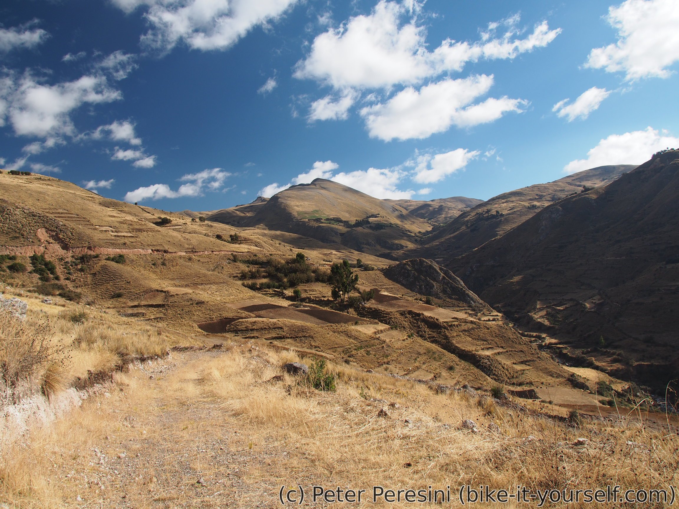
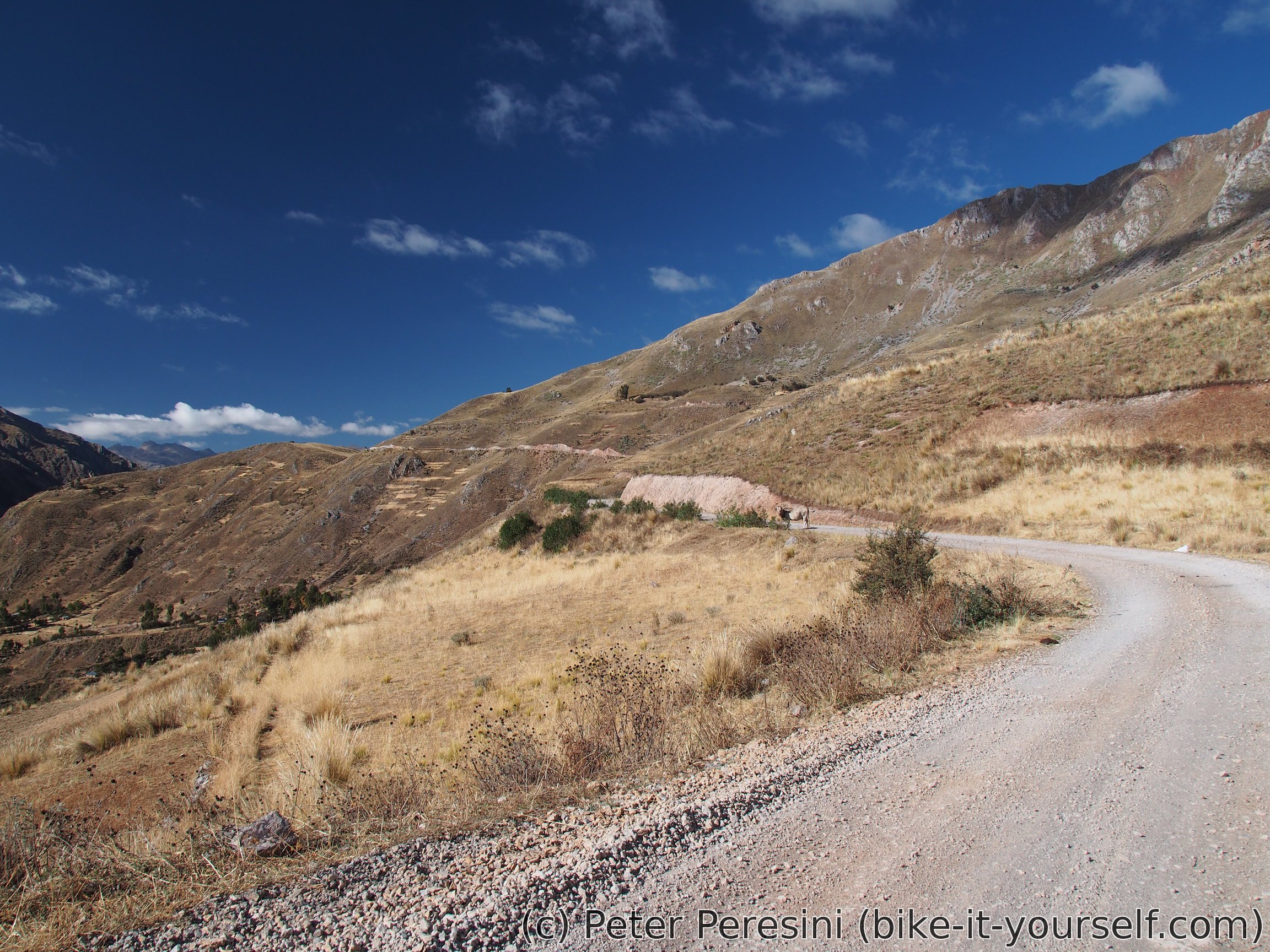
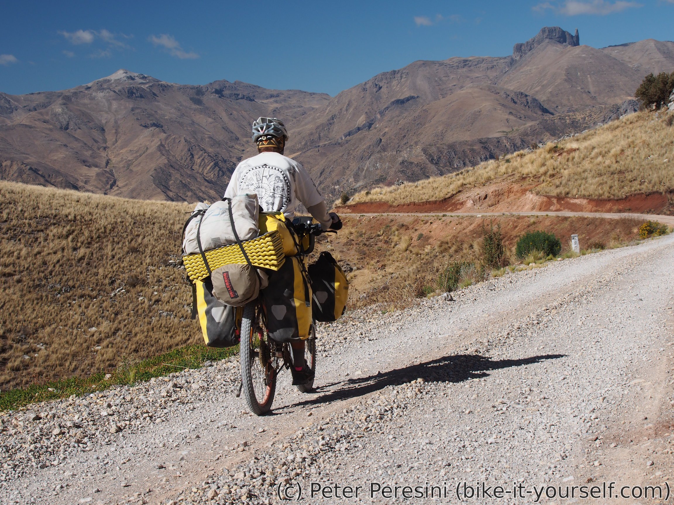
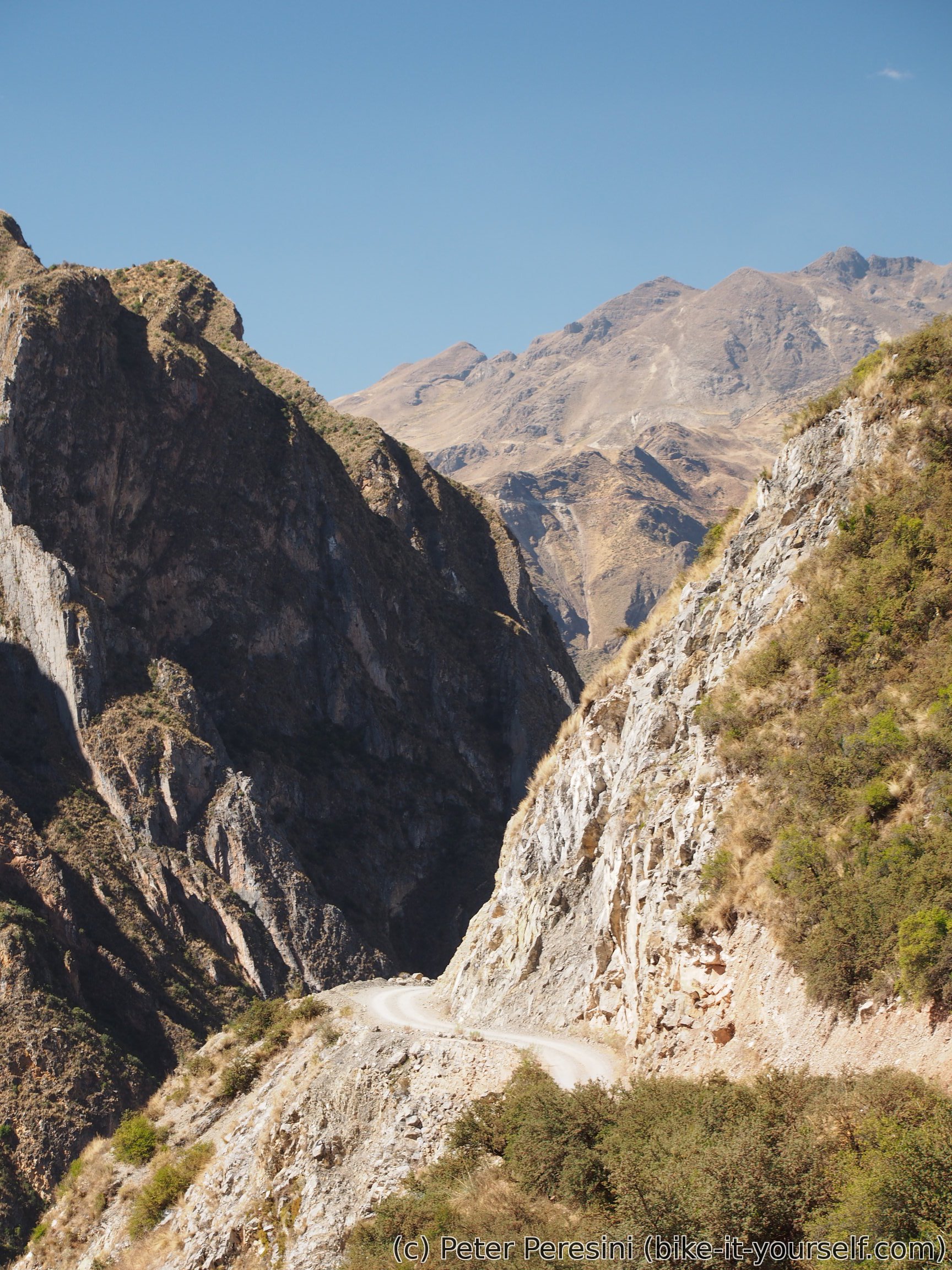
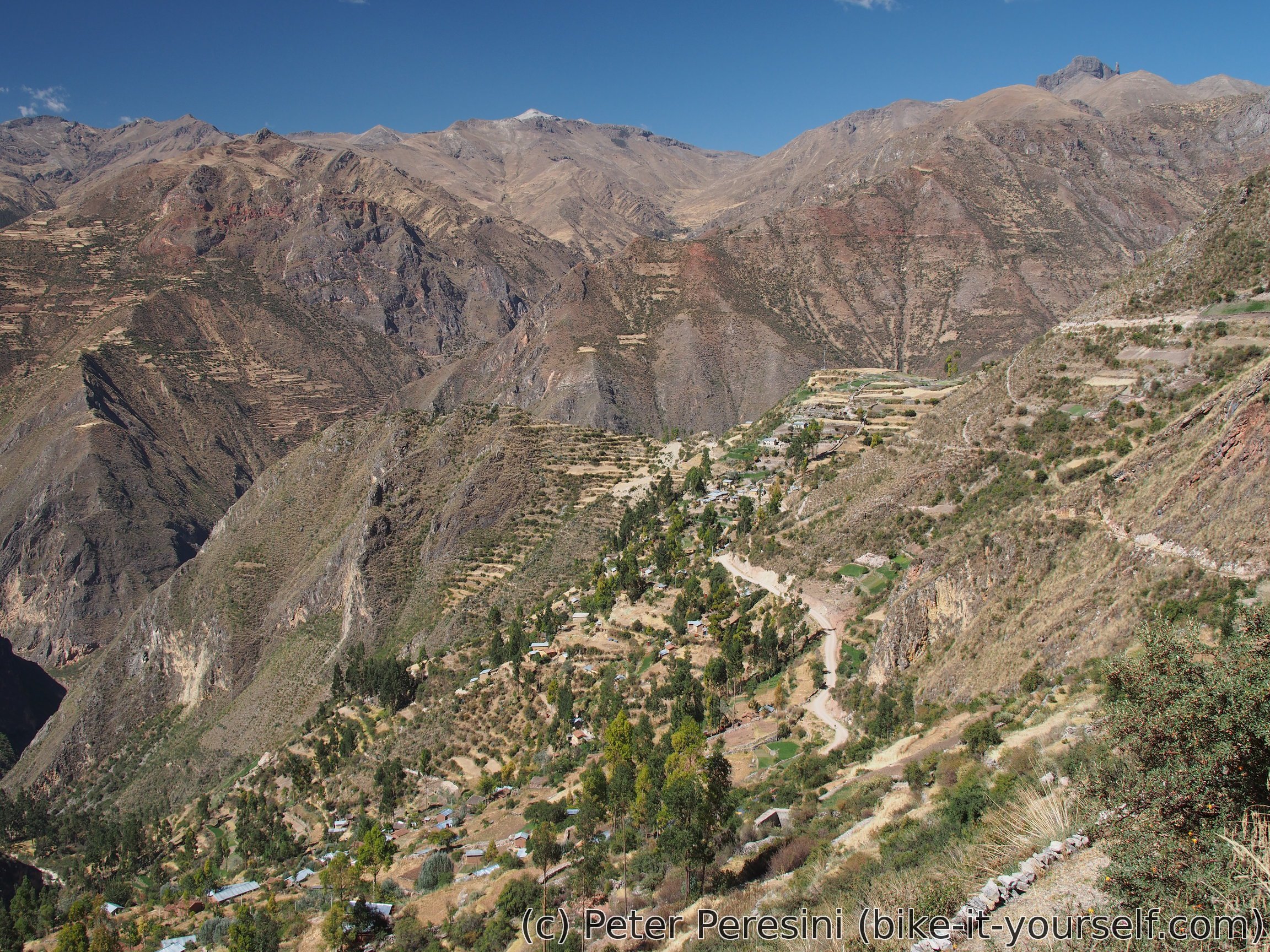
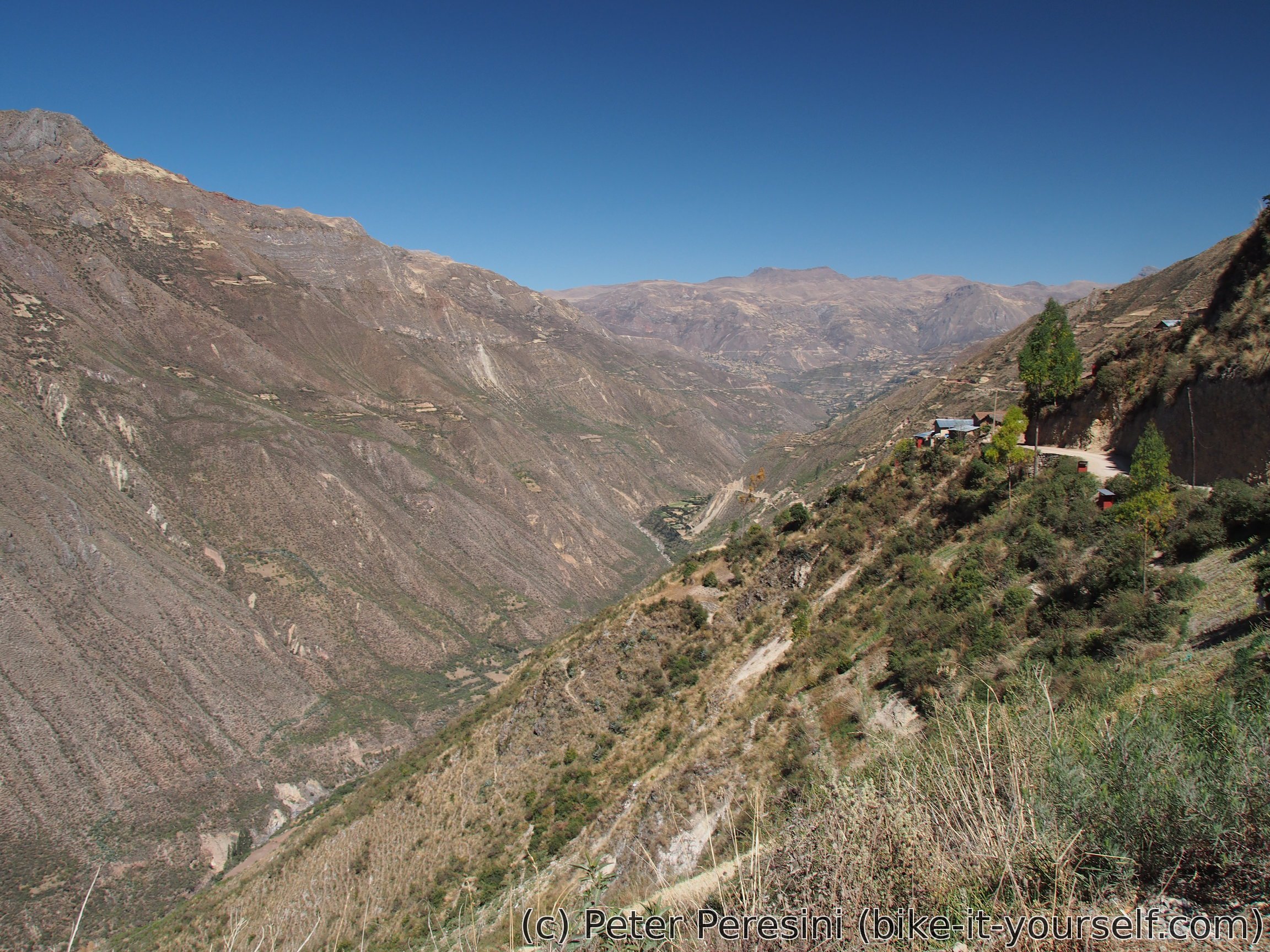
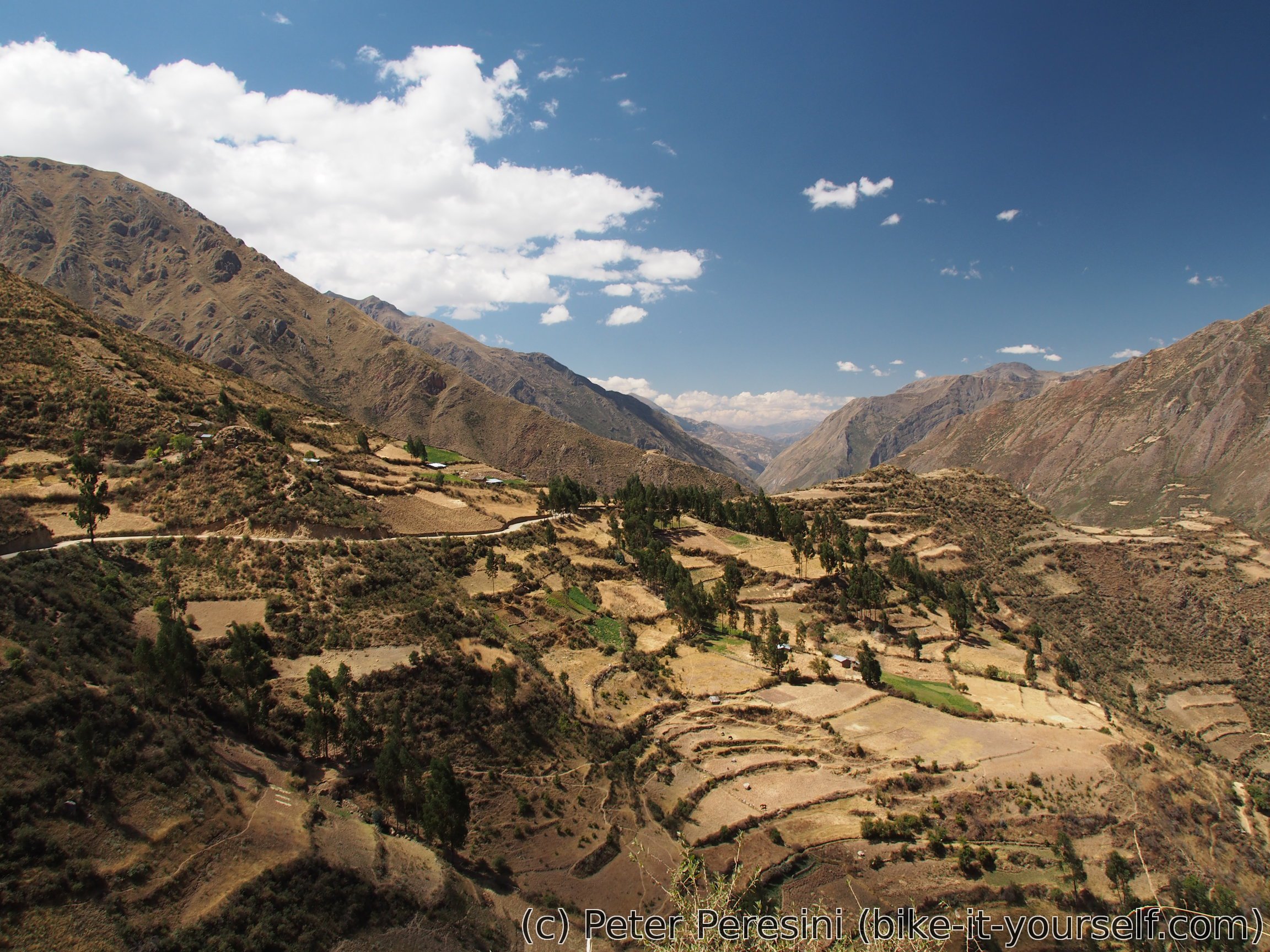
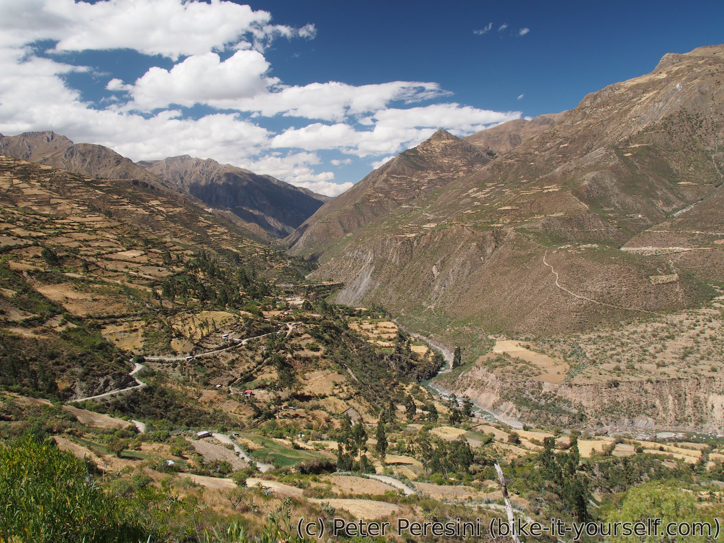
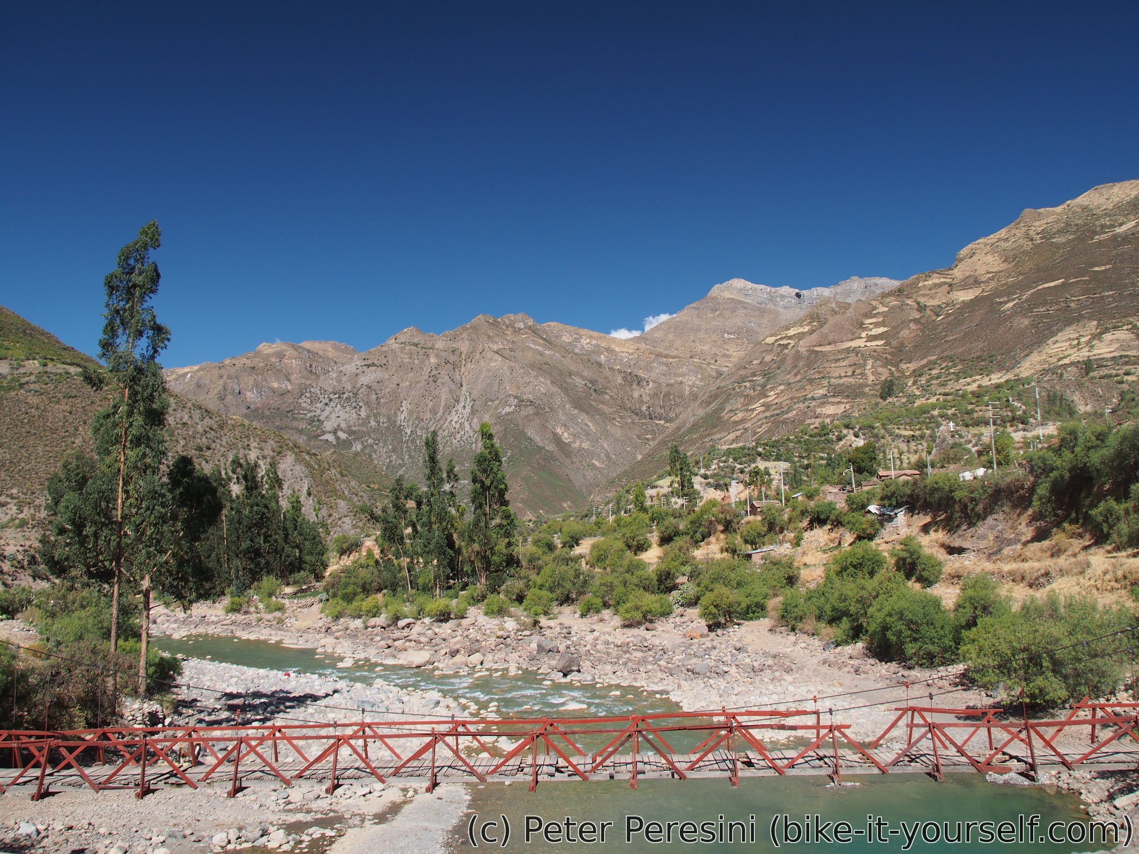
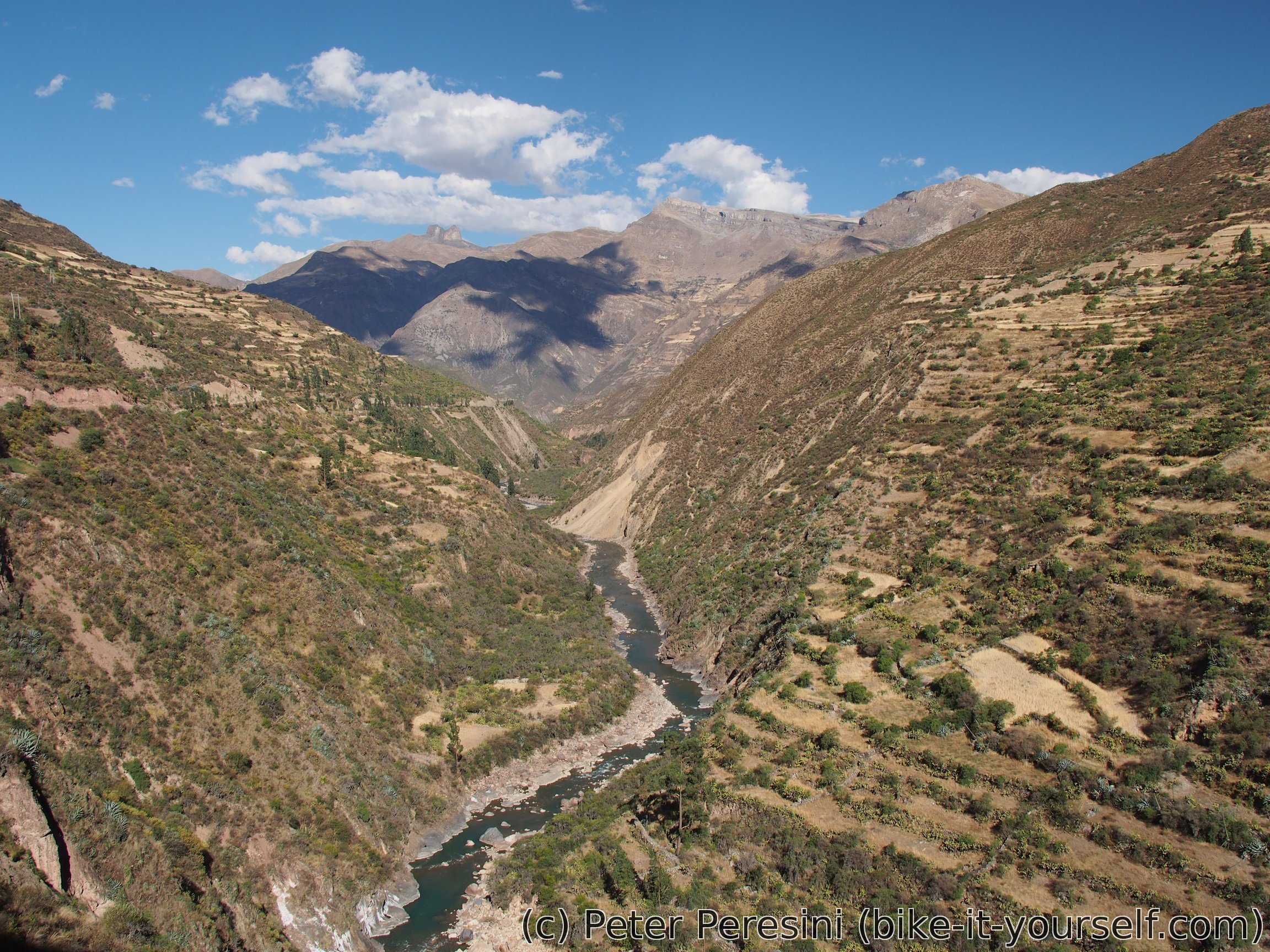
My route through southern Peru is dominated by deep canyons/valleys and high mountains. And this section isn't an exception -- the views are always changing although there is one constant -- they are always stellar.
August 13
In the morning I trick myself and two times at that. First, yesterday I saw a shop with jamonada but decided that it would be better to buy it in the morning as it will last longer. Well, the shop is closed in the morning :-( Then I set off on a downhill ride to Vischongo. The road is quite wide and it looks like it is going to get paved very soon. This also proves to be my error -- in Vischongo I follow the new road only to realize that the road avoids the center of the village and itstead goes around it. The problem is that I wanted to buy some galletas and gaseosa but there is no point in returning as Vischongo is built over a steep hill. In the end I find a very basic shop in the lower part of the village where I get water and cookies but no soft drink.
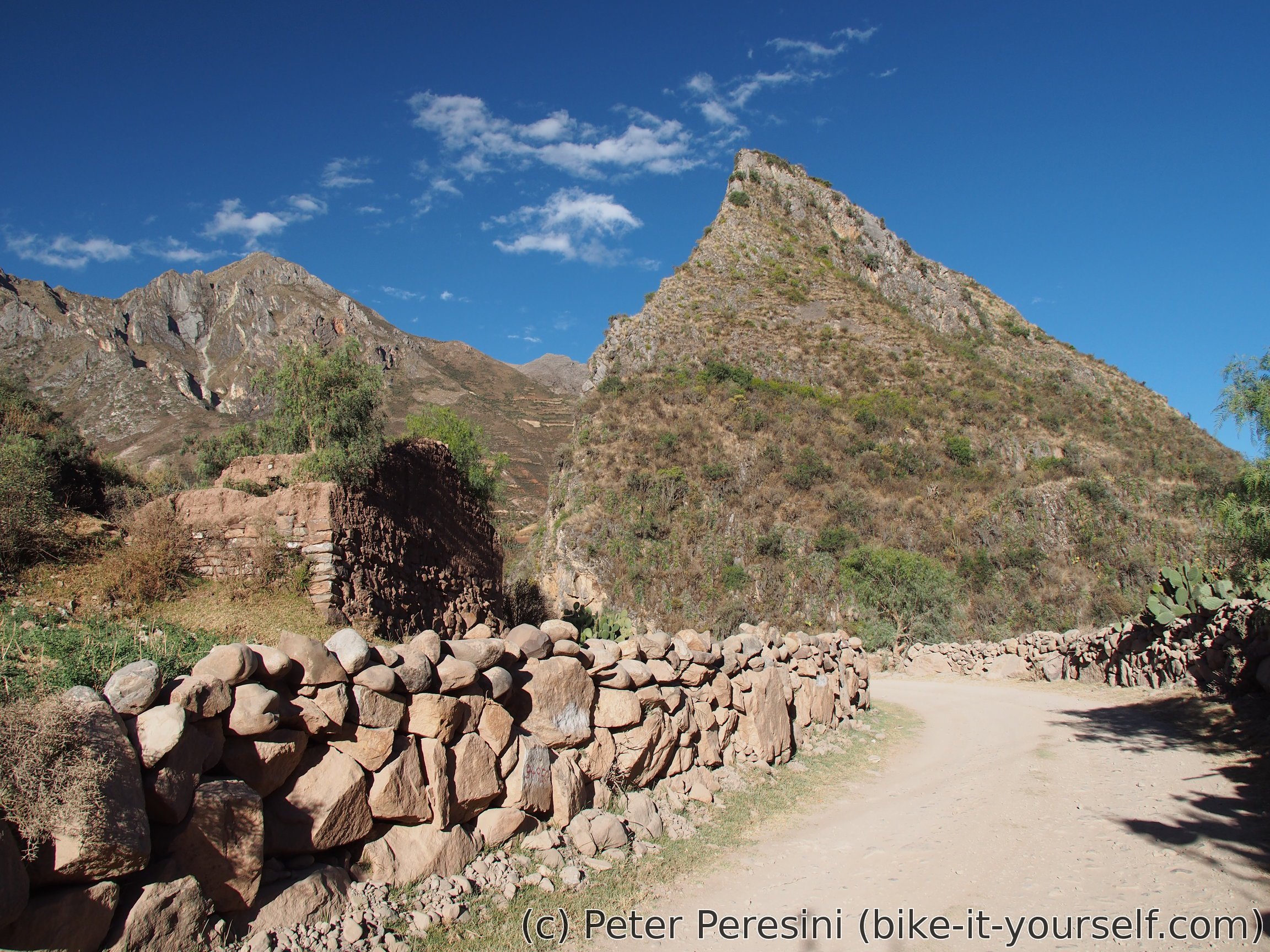
From Vischongo I quickly come across road works. My suspicion of future paving is reinforced as the workers widen and smoothen the road. To my utter luck I can pass around the machinery without too much waiting. Then I come across a junction and the main road is definitely blocked for cars and everything else as they are cutting into the rocks on the next section. Instead of waiting with the cars I have something better to do -- just a few kilometers and about 100m of uphill there is an archeological complex Intihuatana.
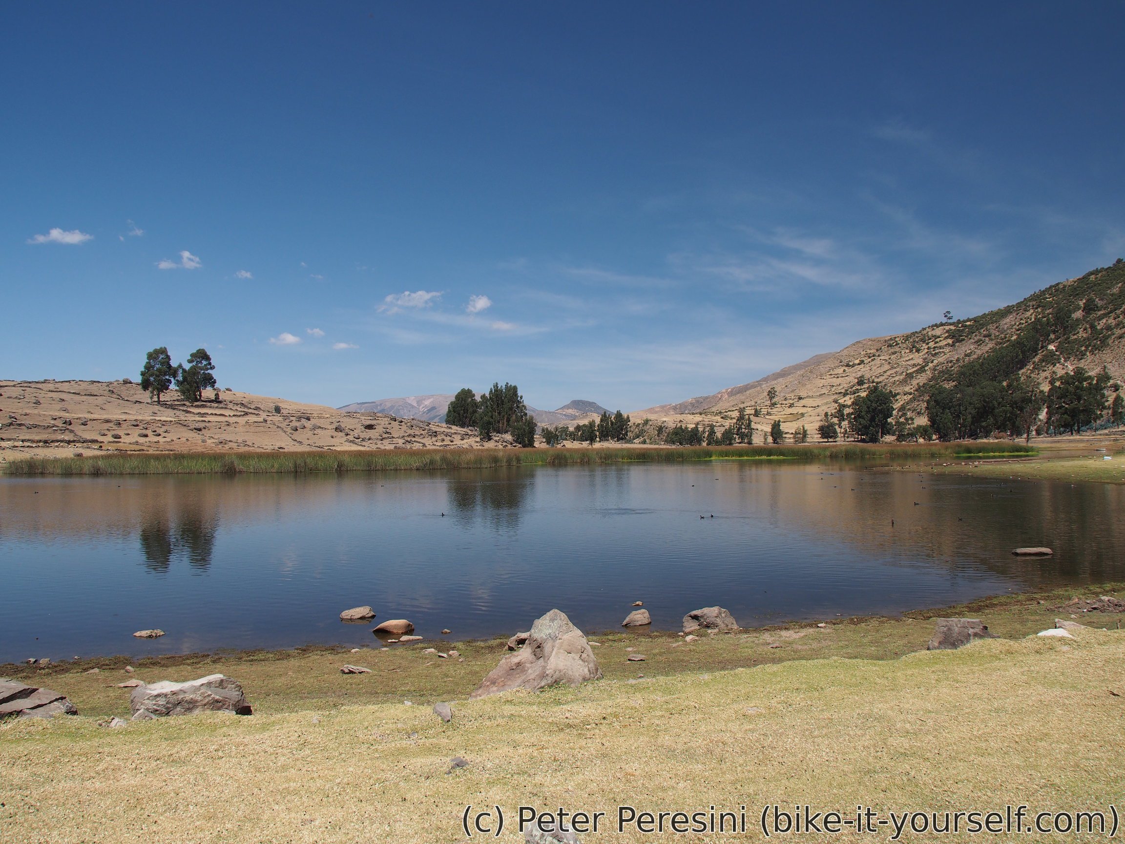
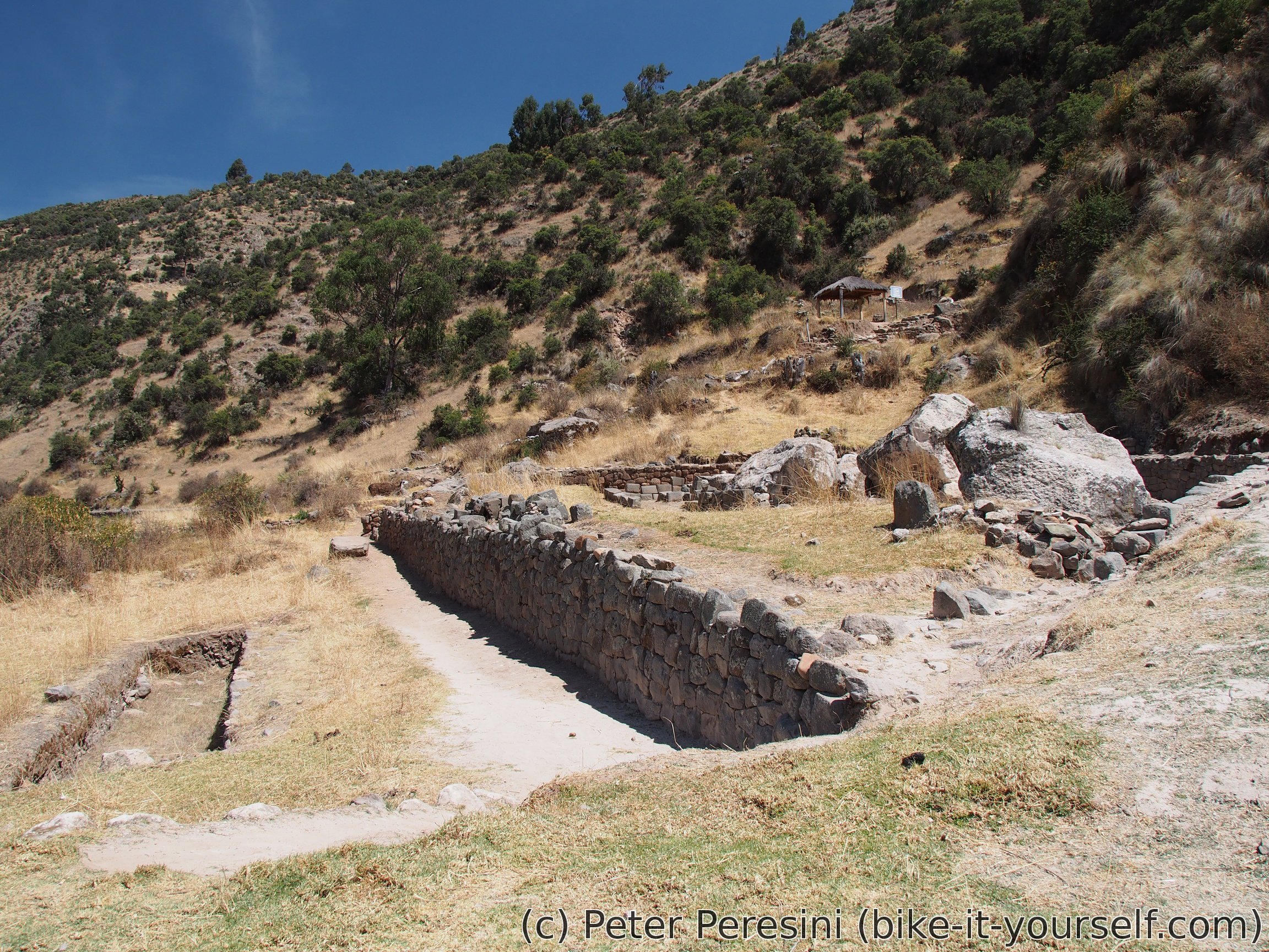
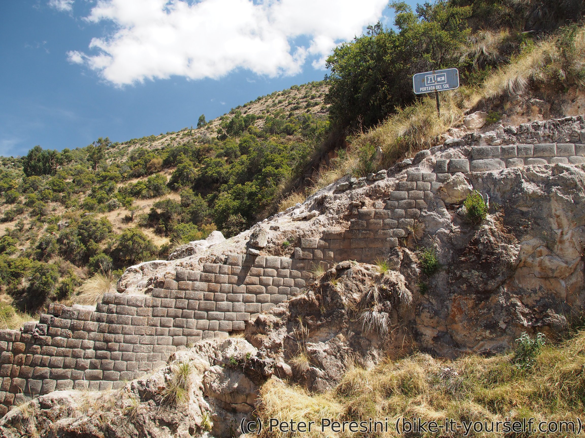
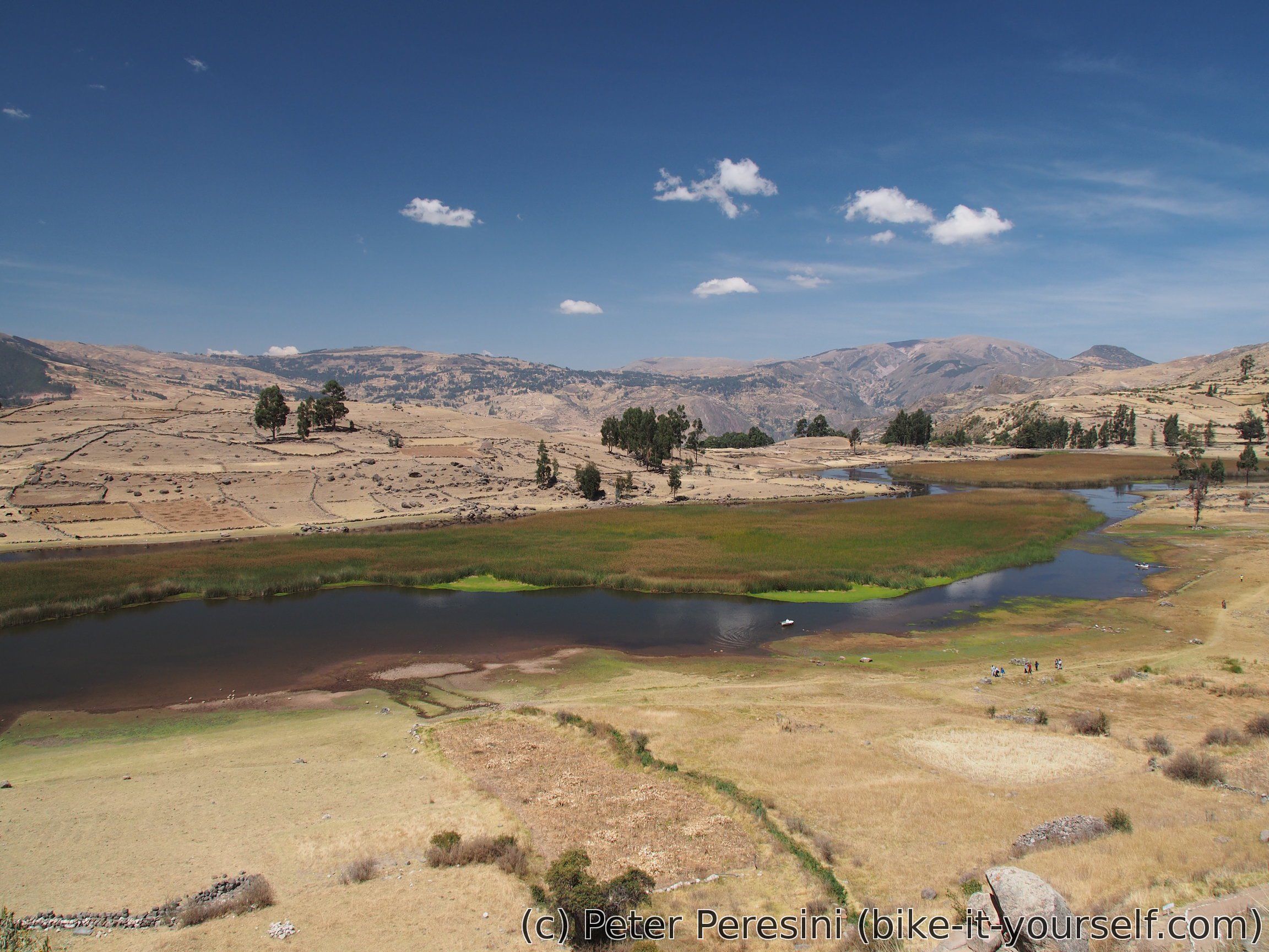
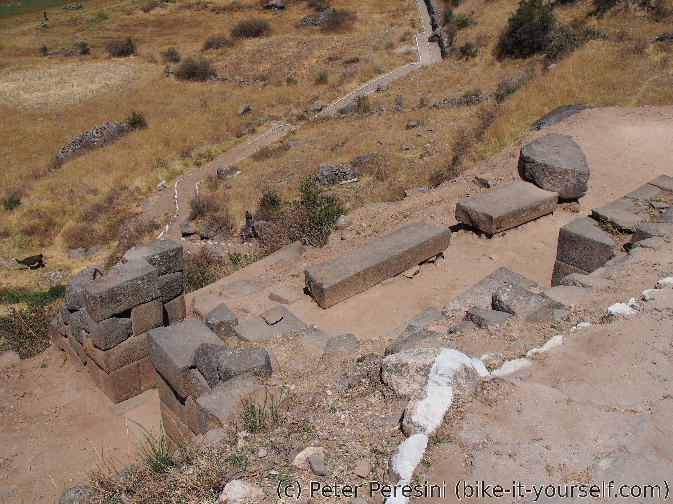
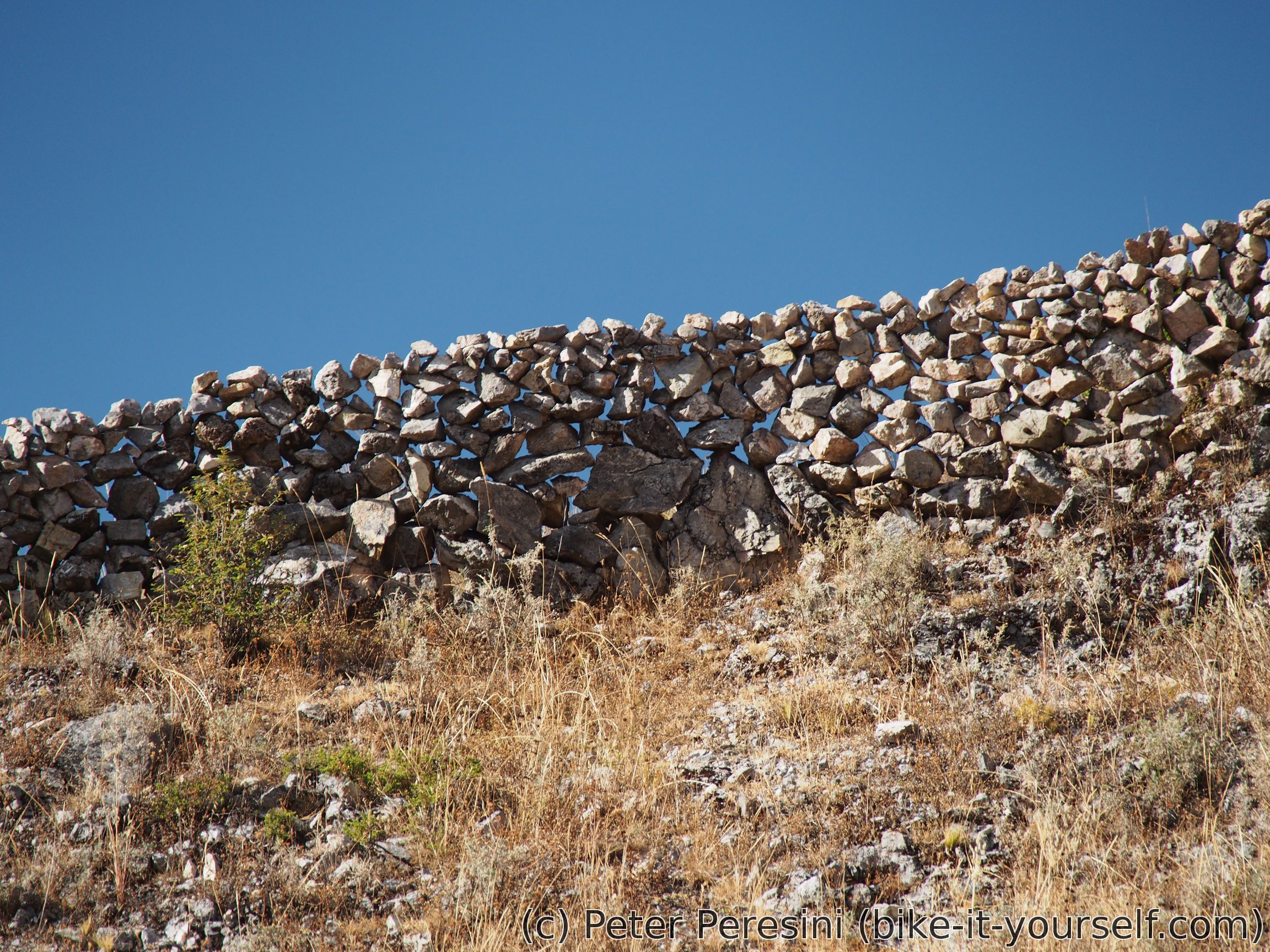
Intihuatana is an ancient Inca site. There isn't too much that remains but it is still very nice to see. I again wonder about the precise way the Incas cut their stones to build houses and temples. And as if looking at old Inca walls isn't enough, the whole site overlooks a beautiful lagoon. With not many people around this is a perfect place for a short and quiet walk. And also for lunch -- there are a few food selling stalls at the entrance.
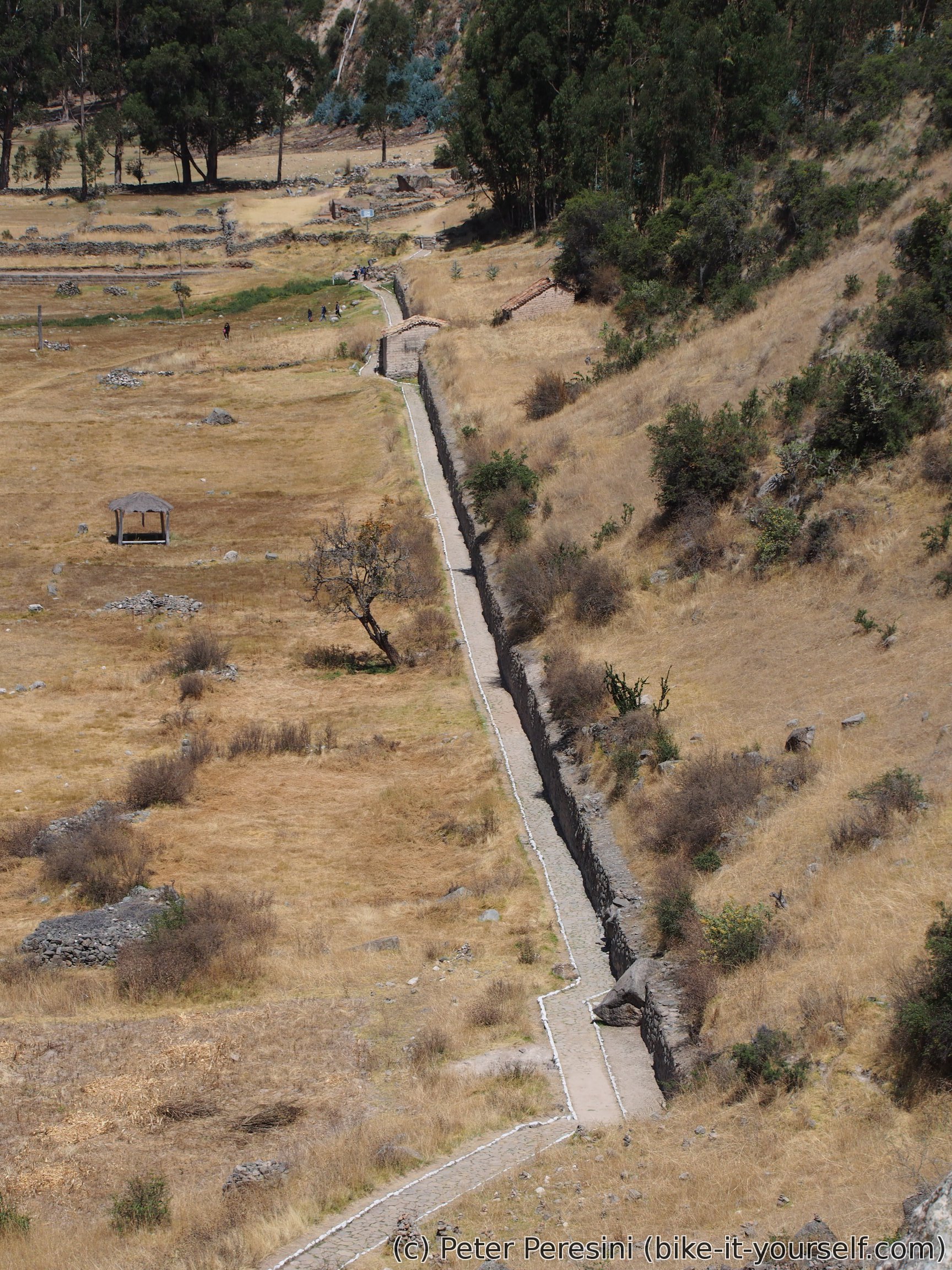

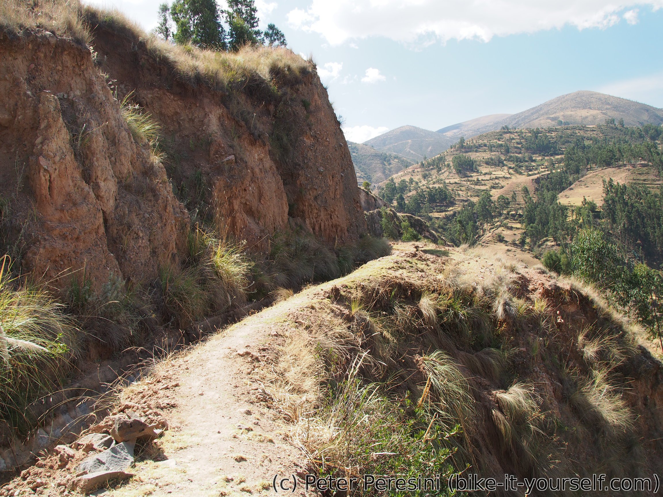
From Intihuatana I decide to avoid the (possibly still closed) main road and instead take a shortcut along an irrigation aquaduct I saw. In theory, this looked like a nice and fun trail to ride. In practice it is nice, fun and half-unrideable as there is only a narrow singletrack with dangerously looking cliffs on one side. In the end I probably waste much more time here than if I went back down the the road. But then, it would be boring.
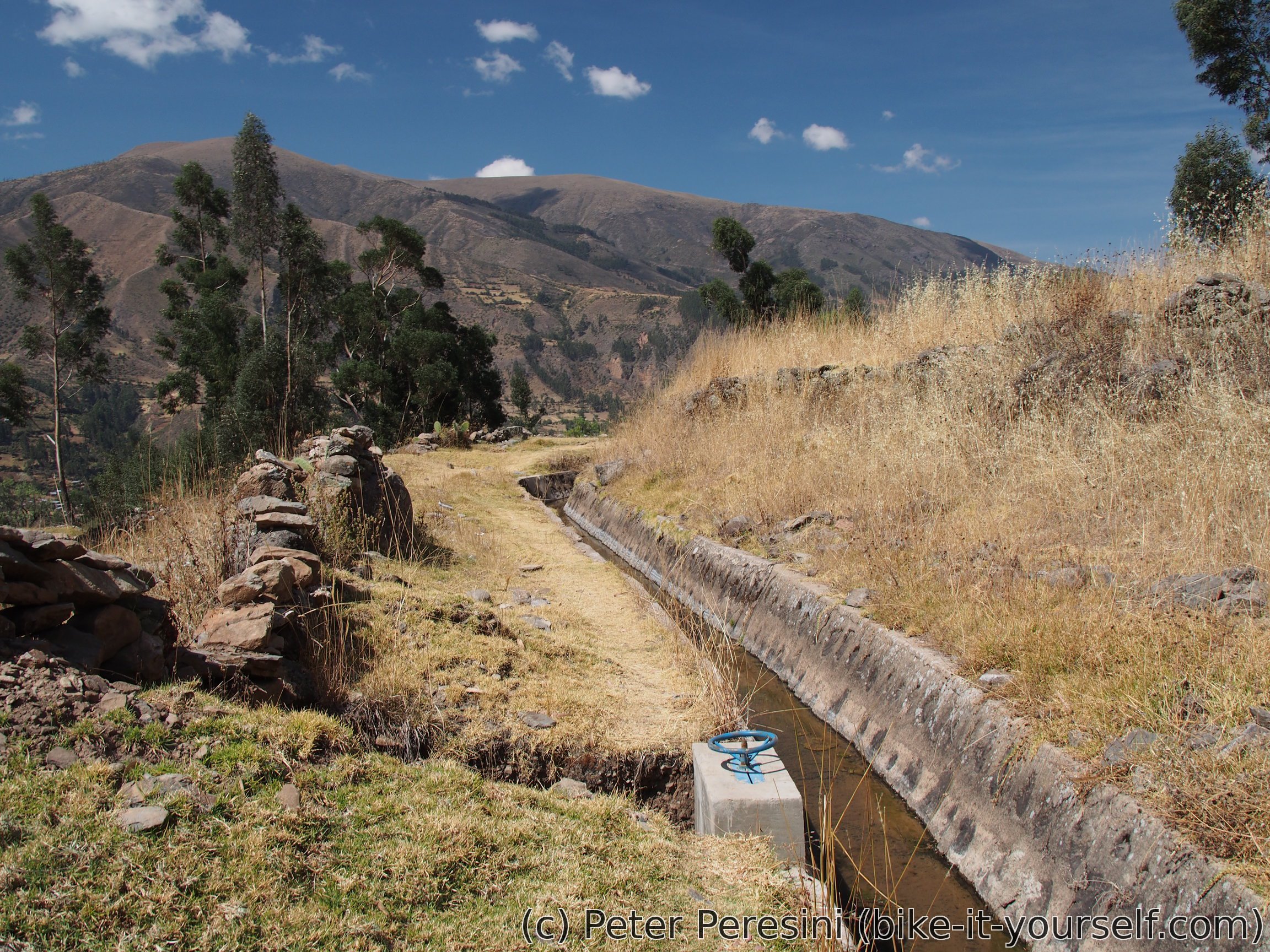
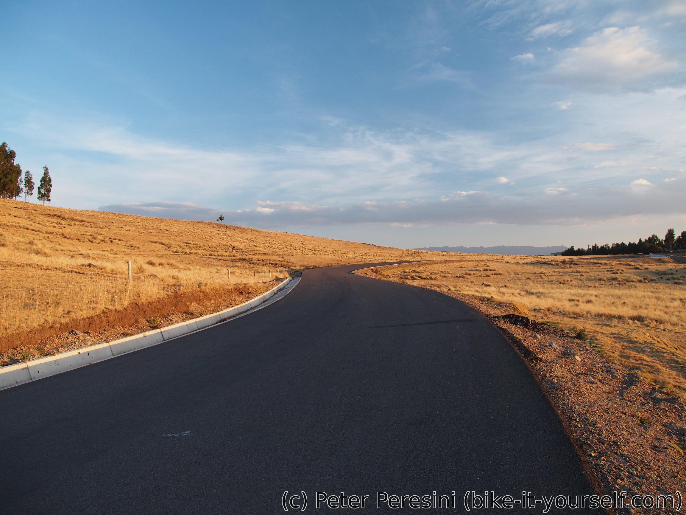
While my trail along the channel continues further, it deteriorates over time so I am quite glad to see an unpaved road crossing. It seems that I won't avoid going down in the end. A bit of hard braking later and I end up again at the main road, this time already paved.
With pavement comes speed even if it is uphill. And I am again making a decision to detour from the original route. Instead of taking an unpaved alternative I decide to stick to the main road because it promises a bit less overall climb and I am behind my schedule if I want to reach Chuschi tomorrow.
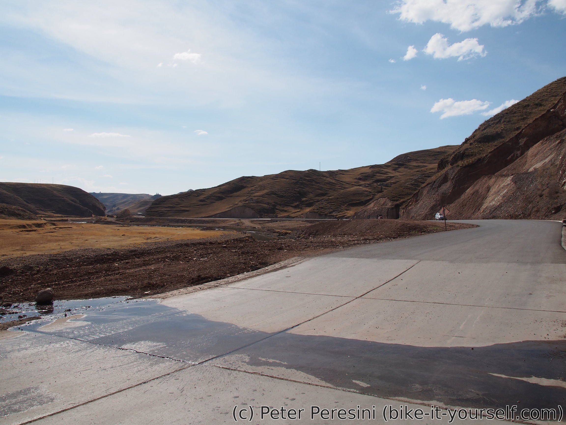
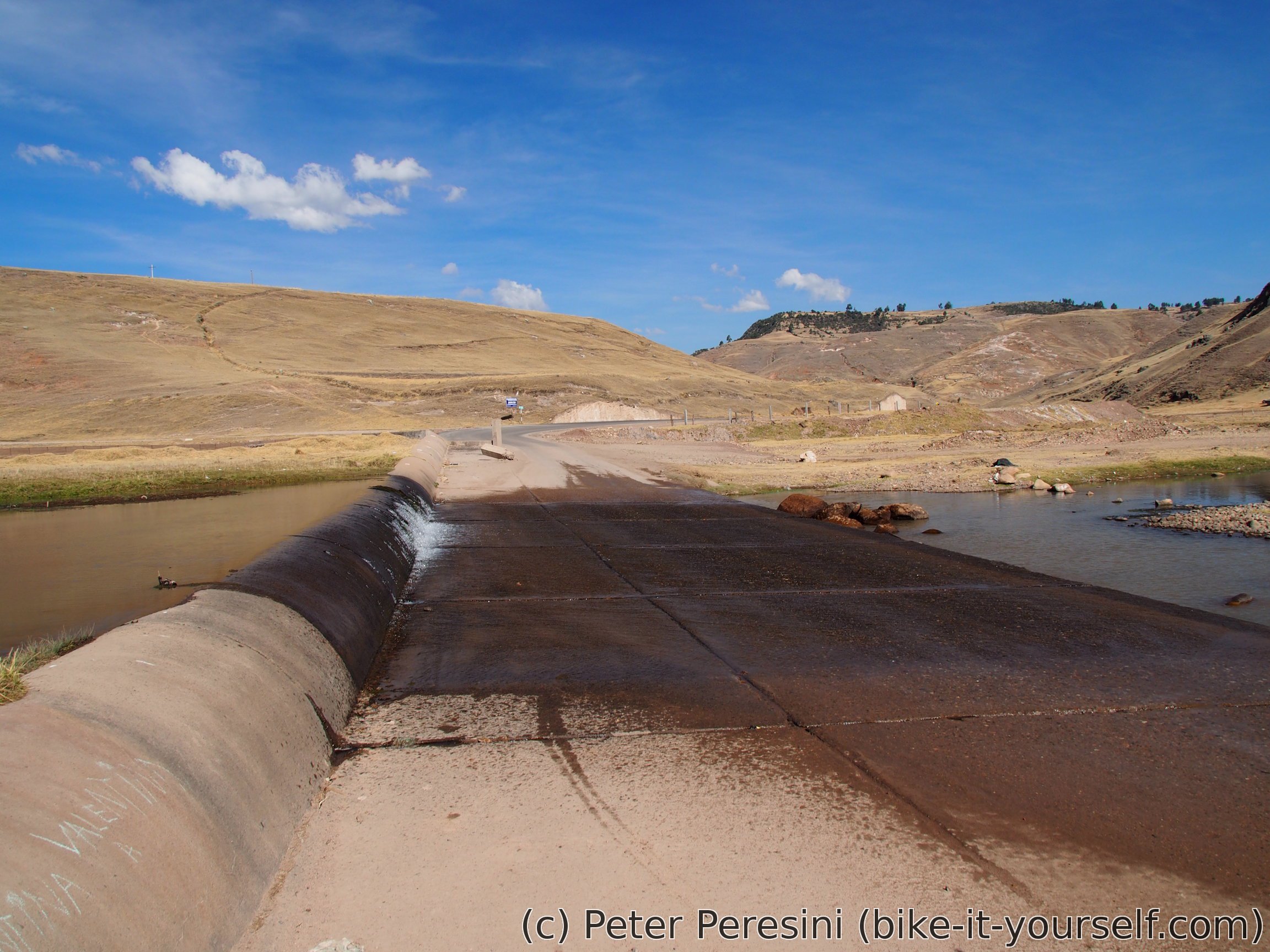
If I could tell you only one piece of advice, it would be this -- be very careful when crossing bigger streams on a pavement/cement. I did it many times so far (South-Americans seem to have something against building bridges over streams and instead they just let the water flow through the road) but this time proved to be fatal. The story goes like this -- there is this long (but very shallow) ford and I start riding it when I see a car going in the opposite direction and looking that it won't really slow down. Given my estimate of how much splashing the car is going to generate I weer off to the right on a slightly tilted surface. Just as the car is passing by and I make the final manouver to get out of the splash reach my wheels suddenly slip to one side and I end up falling. The car driver either doesn't see this or is a total dick. In either case, I manage to avoid worst and in fact the only problem is that my feet and hands are totally wet.
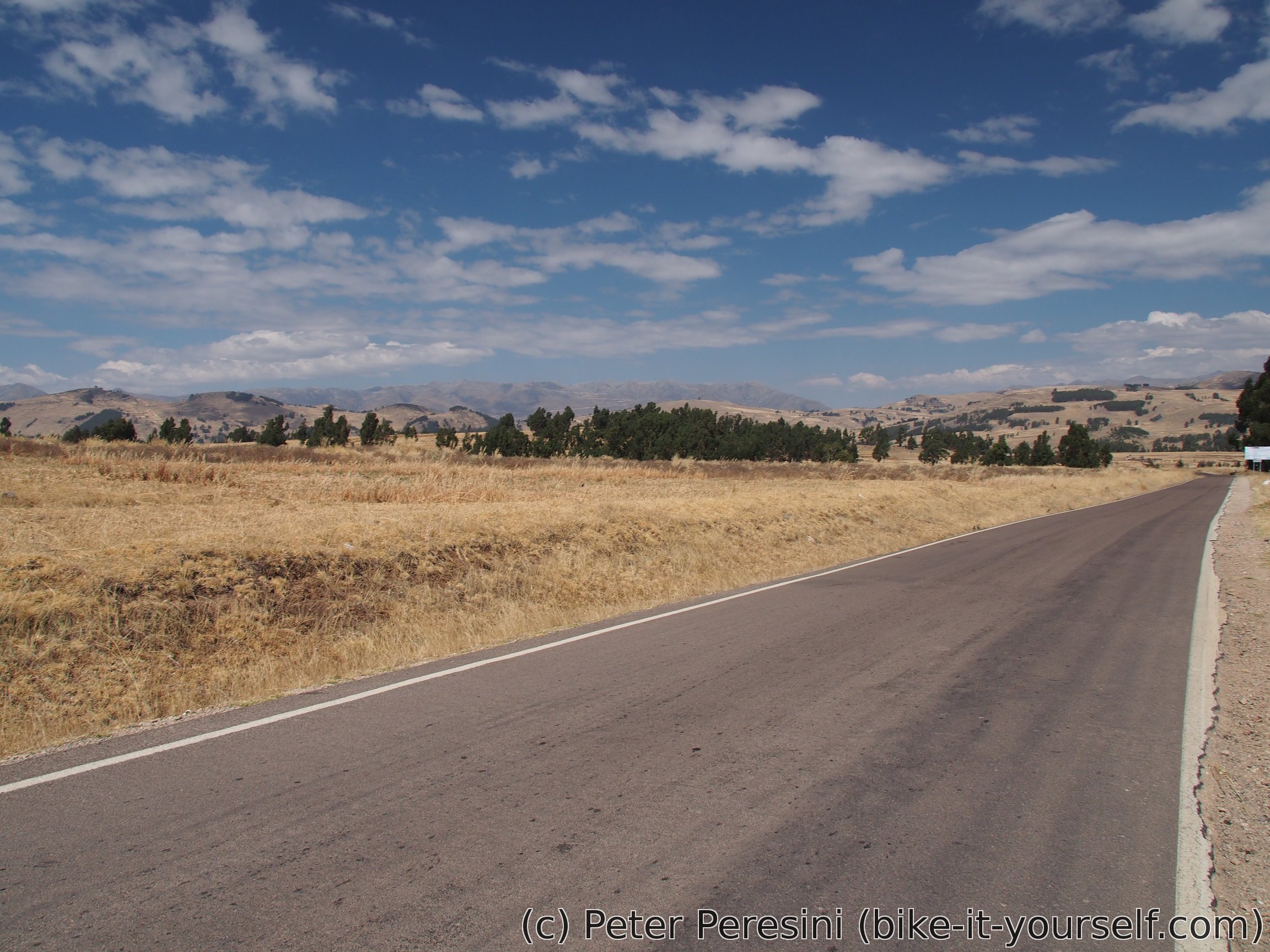
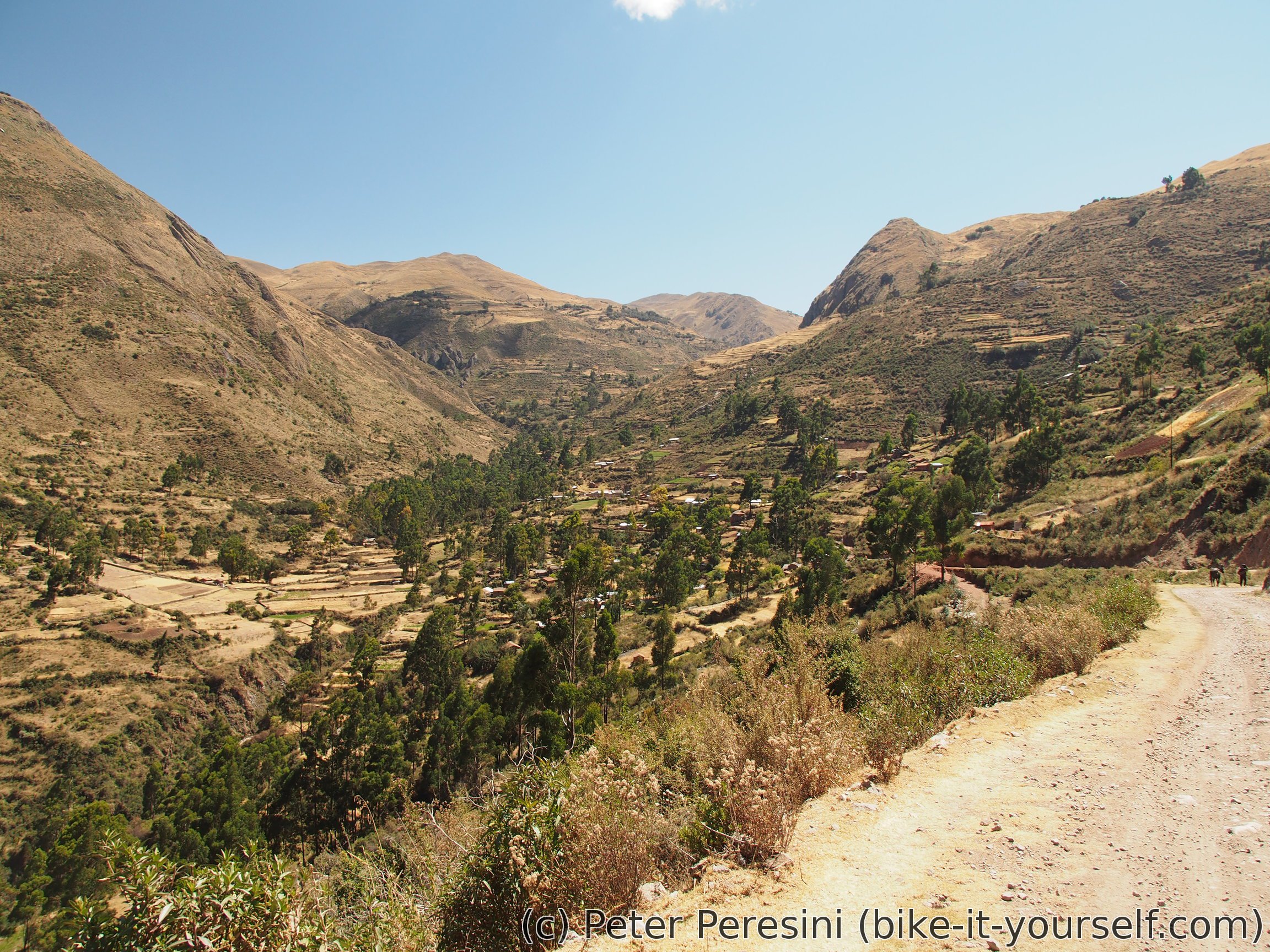
After my "river rafting" experience the road continues slowly to climb in a wide and shallow valley until the valley totally disappears and I end up riding a bit hilly altiplano. It is amazing to watch this change in the scenery as by now I did not except to see a terrain without deep valleys. It is on this alti-hilly-plano that I reach my planned destination Manallasacc.
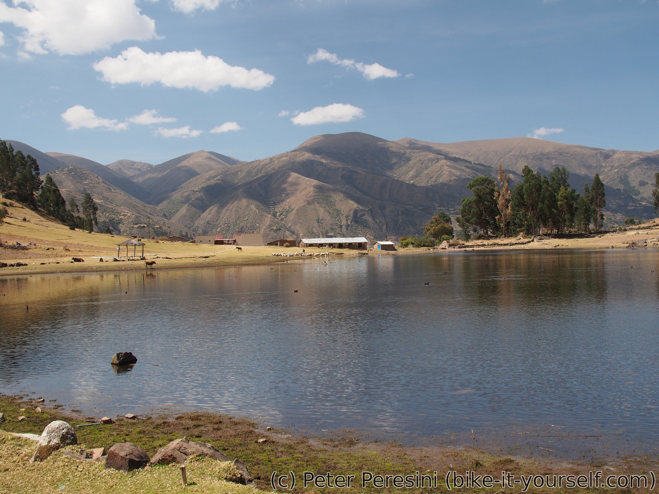
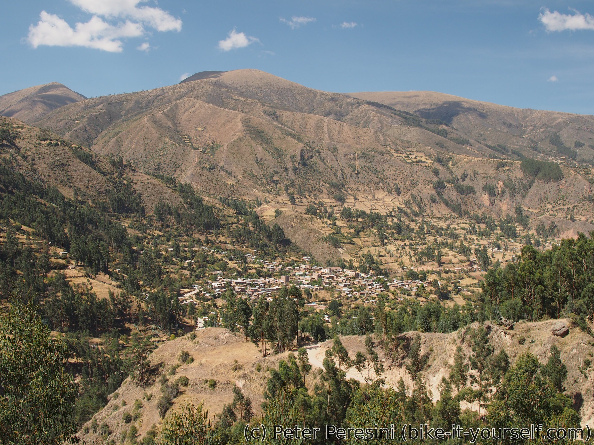
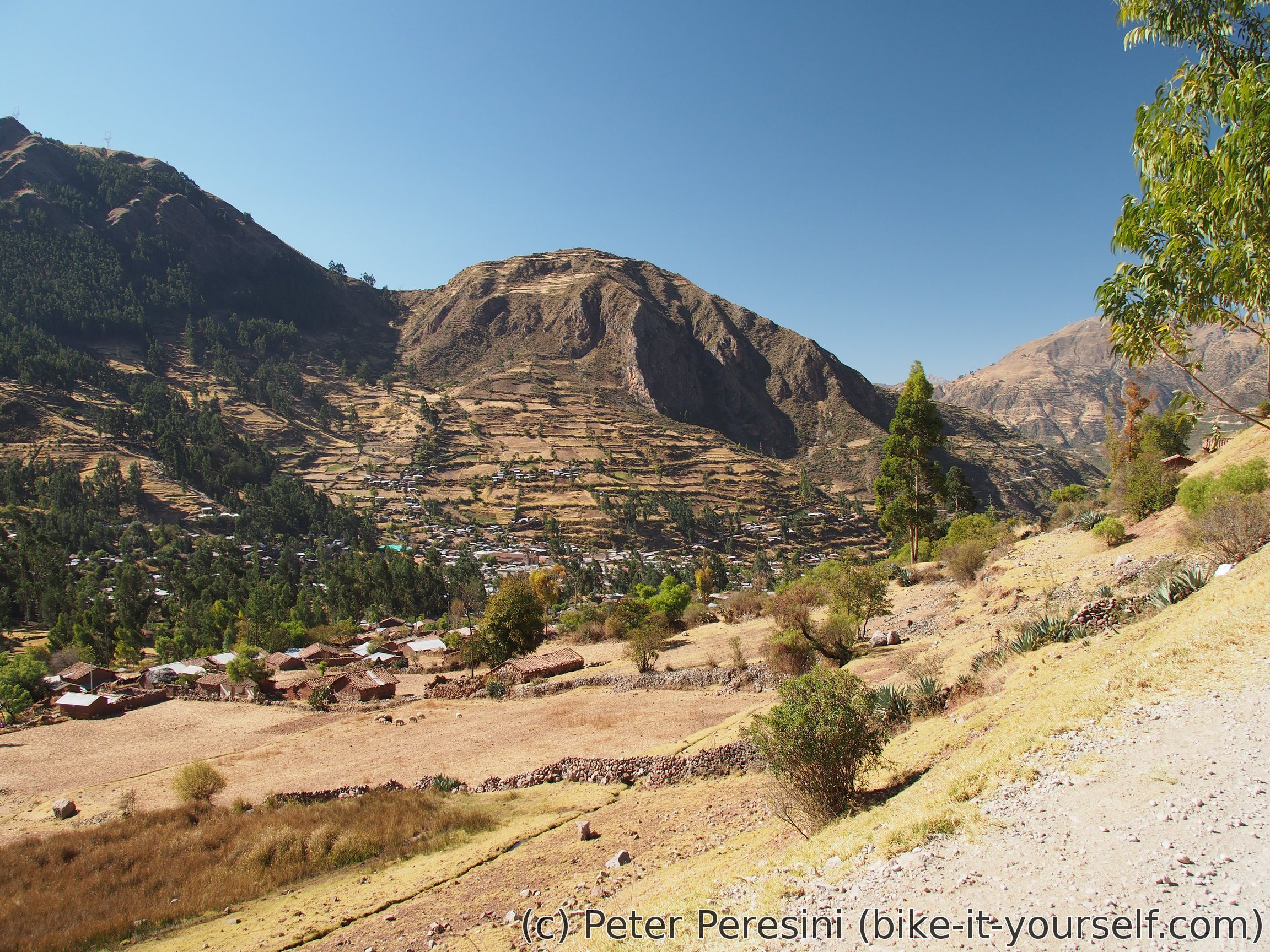
Manallasacc looks like a decent town on the map. The reality is that this is half-dead village which isn't particularly nice. And I am learning that there seems to be no hospedaje here. Instead, I am sent 8km further up the road to Condorcocha where supposedly I can find a bed. Locals swear that it is only 30 minutes on a bike. I am a bit suspicious about this but let's see. So I start racing a bit uphill with the dwindling Sun and the race is tight -- I reach Condorcocha in 45 minutes of hard work with the last rays of Sun.
Fortunately for me, locals were right, Condorcocha has a hotel despite it being only a few houses. The hotel is next to a gas station and is quite fancy (three stars) and pricey. The same goes for the restaurant downstairs but I can't complain about good food.
August 14
My plan for today is to join back the Pikes route and go towards Pampacangallo and then Chuschi. In theory, I could take a shorter route and save one day but the road to Chuschi goes around a big canyon contrasting the boring pampa shortcut.
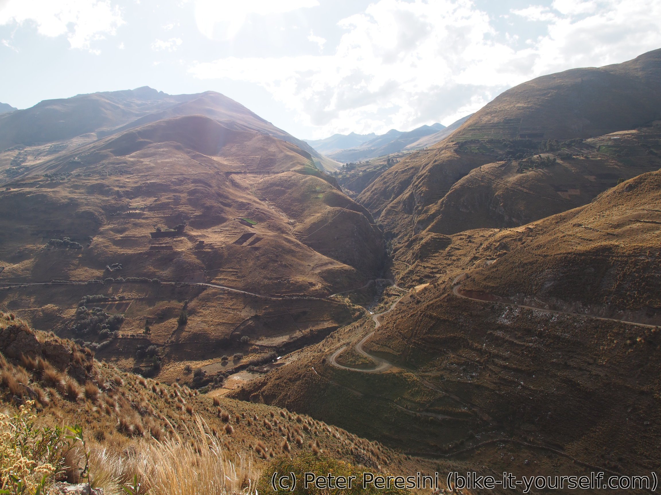
With high altitude and some clouds the first part of the route, which is a descent, is quite cold. Fortunately, not before long and I have a chance to warm up. When I pass around Chanquil I see a sign saying that there is some catarata just 500m away. So I decide to take a detour. Unfortunately, the catarata is quite elusive -- not only I can't find the waterfall, I don't even find a river on which it could be (unless it is on a very small stream I cross). Defeated I return back to the main road and continue undulating until the final descent to Pampacangallo.
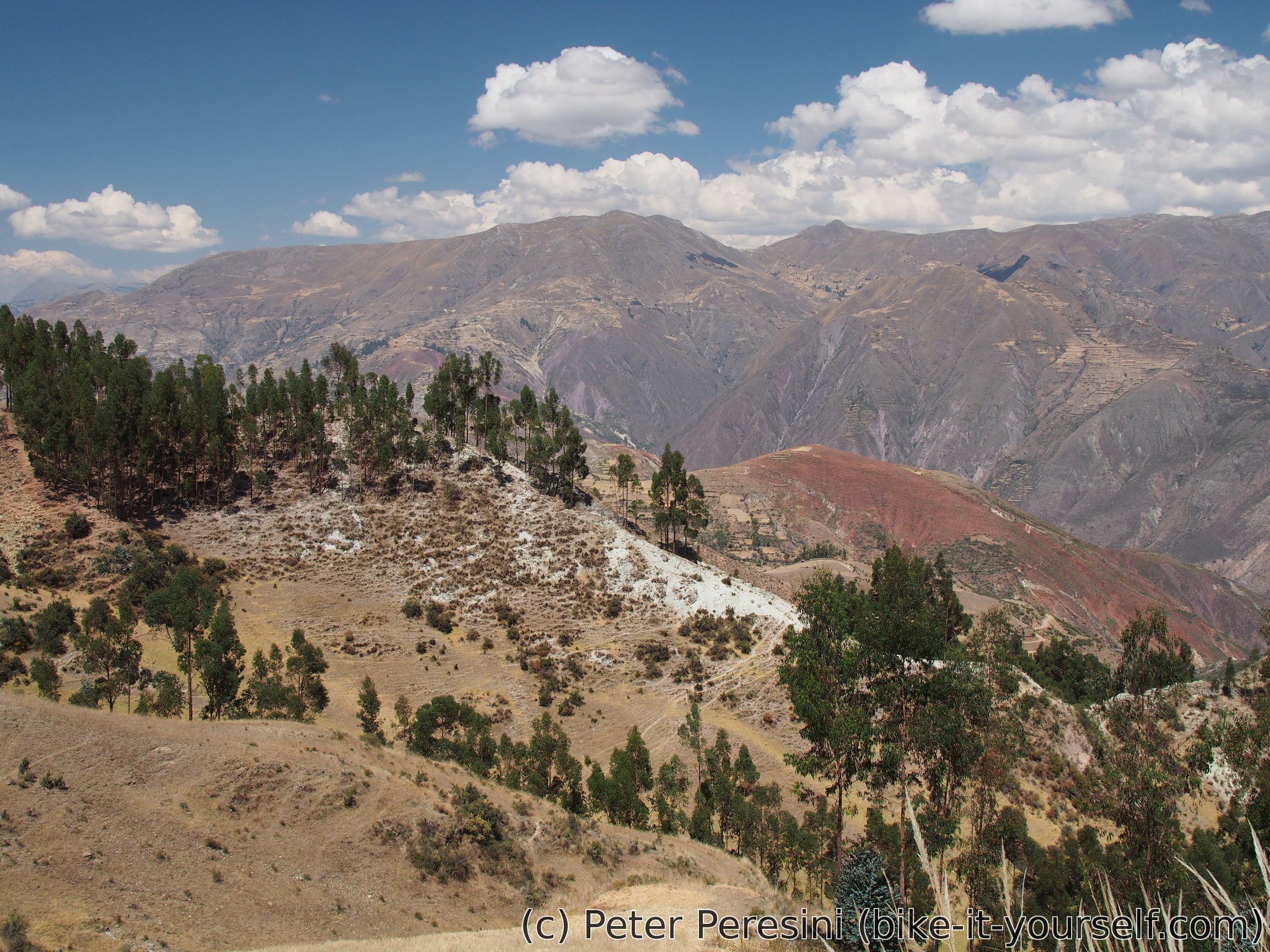
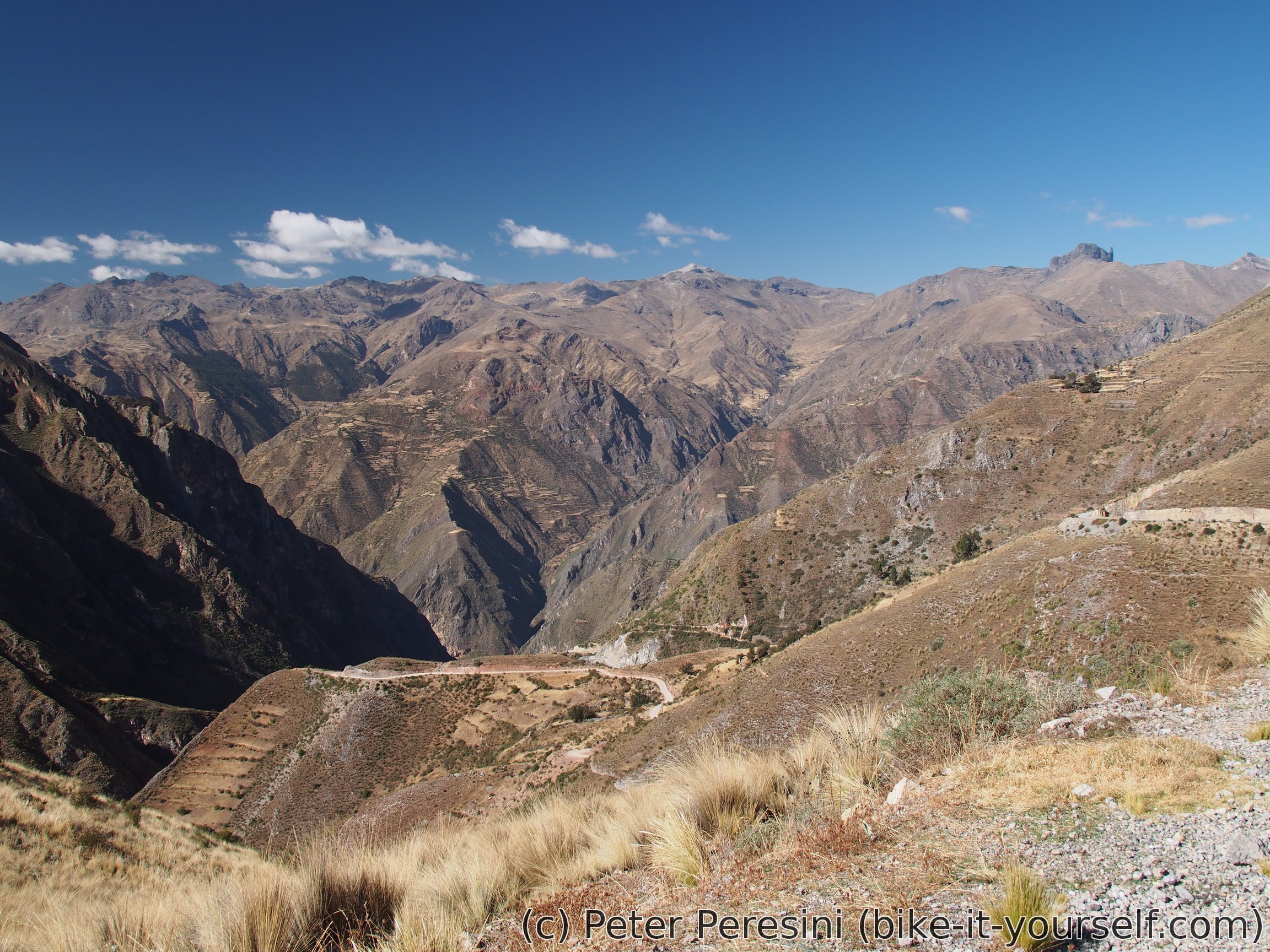
In Pampacangalo I stop by a restaurant for an early lunch -- my breakfast was only a soup and by now I am already quite hungry. Then I resume cycling, this time tackling a climb until I reach the original Pikes route in the pass. From there I have the first views of a valley and canyon I will be following for the rest of the day.


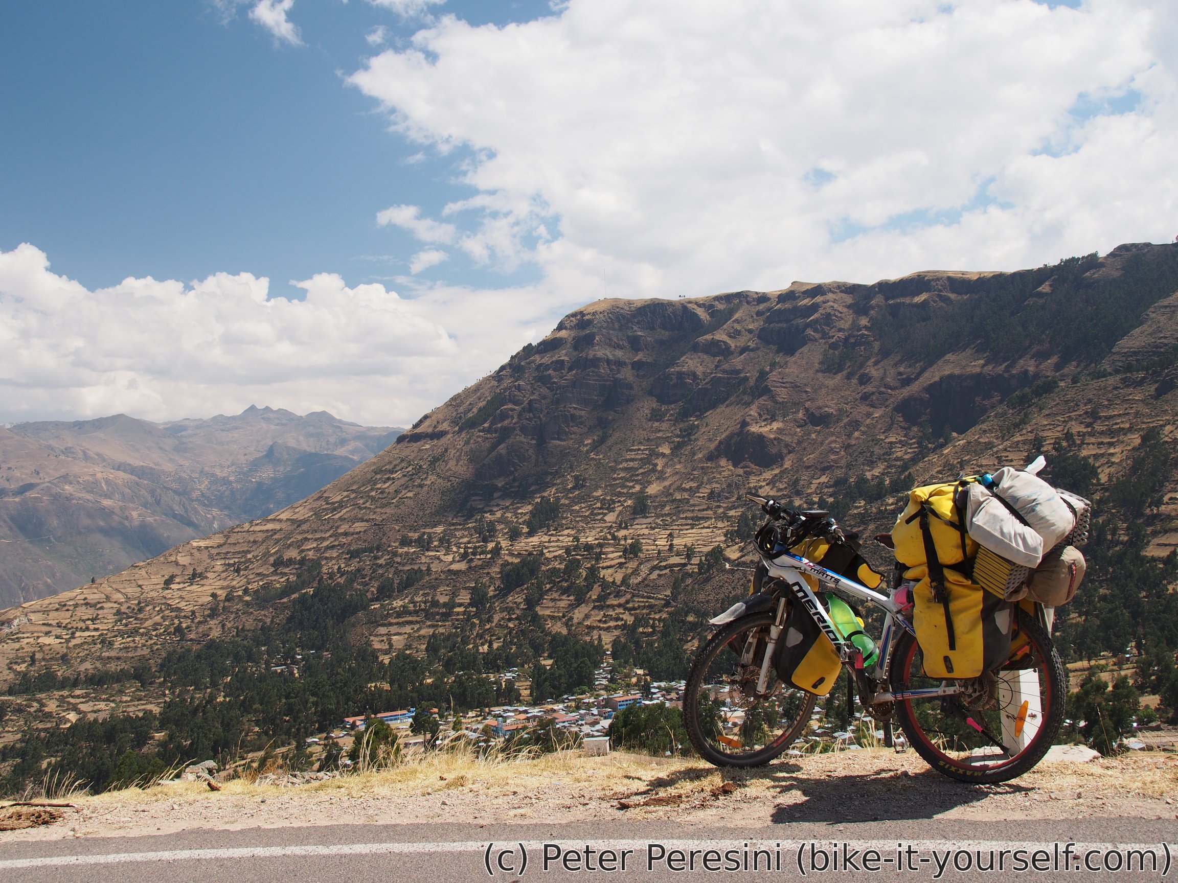
A quick and scenic descent to Pomabamba, quick snack break, a bit more descent and I am leaving the paved road and instead starting an unpaved climb. Unfortunately, the unpaved climb does have quite some qualities in the bumpyness department and I end up going rather slow. Meanwhile the sky is getting cloudy and I just keep hoping it won't start raining.

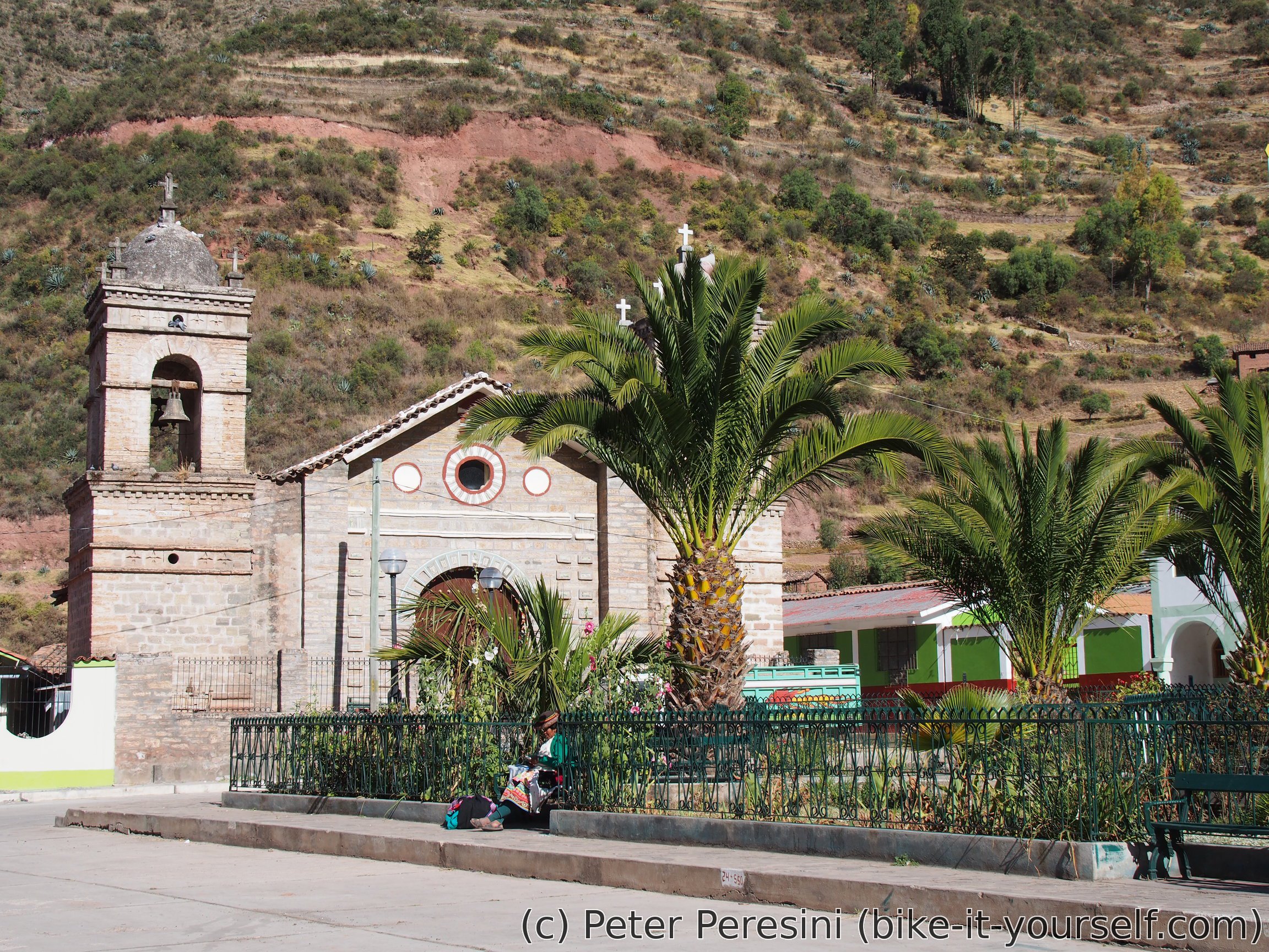
In the end there wasn't any rain. I manage to reach Chuschi about an hour sooner than my standard end-of-the-day cutoff. However, I decide to stay here. The main selling point is a public WiFi at the main square which works quite well and so I end up sitting there until my laptop battery runs out and I need to recharge it.
August 15
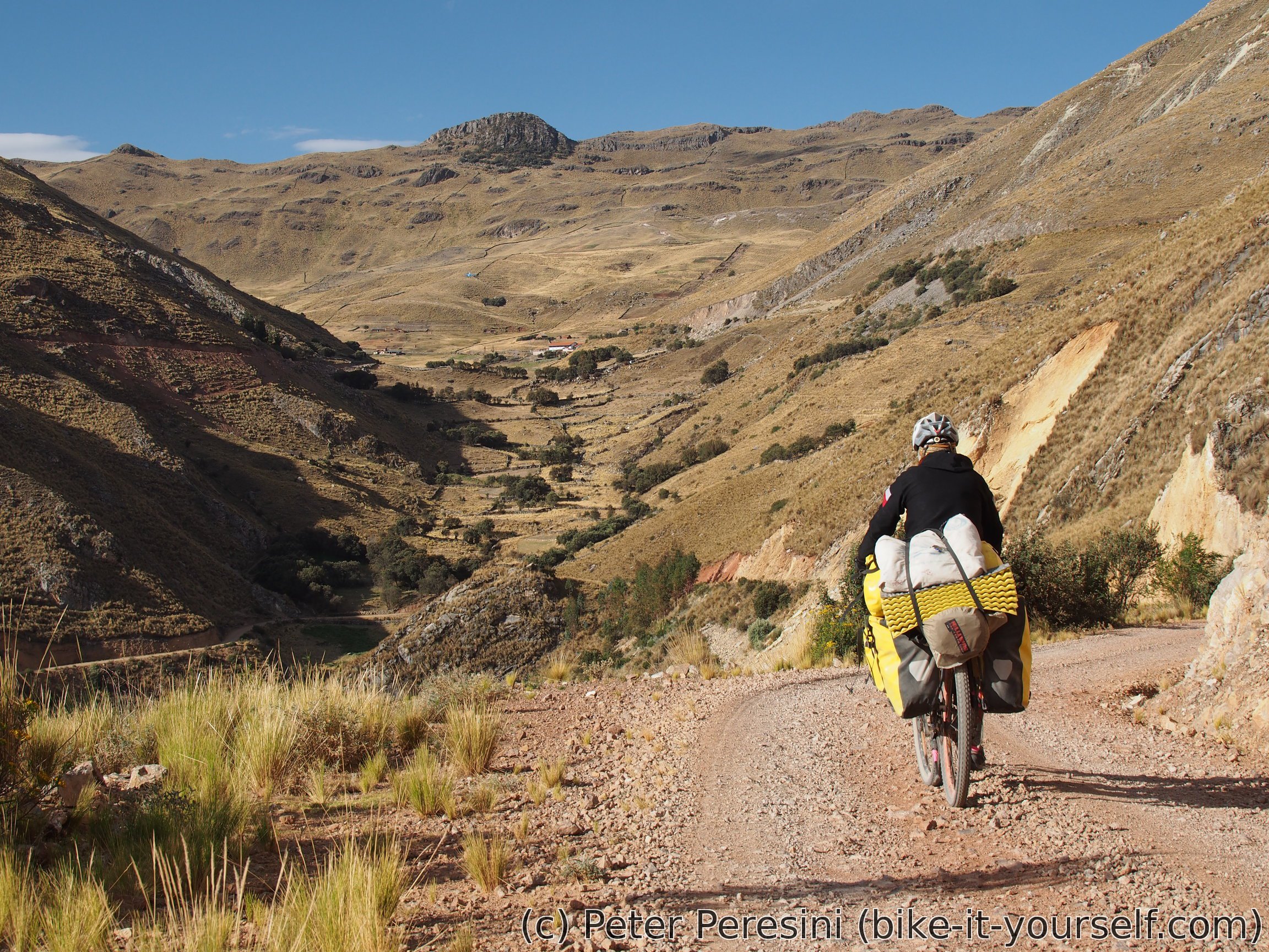
Today promises a lot of climb. I need to get from Chuschi (about 3100m) to a 4260m high pass. After a morning skype call with family I start spinning towards a small village of Uactahuran. It is actually a surpsite to find a tienda there so I quickly get a snack.

From Uactahuran the road continues a steep climb with nice views around. It is somewhere here overviewing beautiful meadows that I have a gourmet lunch -- a few days ago I surprisingly found out that I am carrying a peanut butter in my bags. I bouth it in Abancay but with all the jamonada I was carrying I quickly forgot about it. And now, with its rediscovery I am munching on the fat calories.

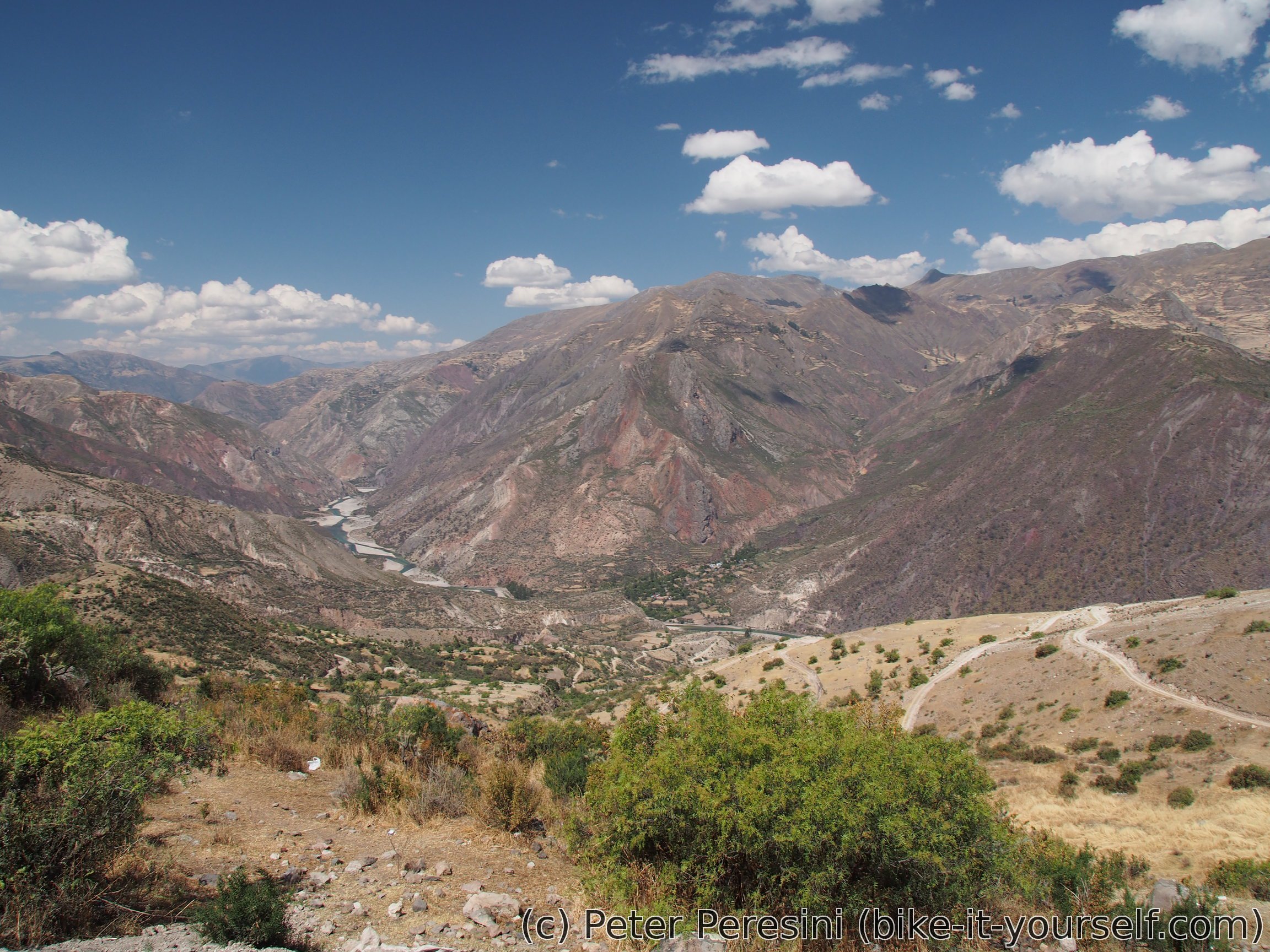
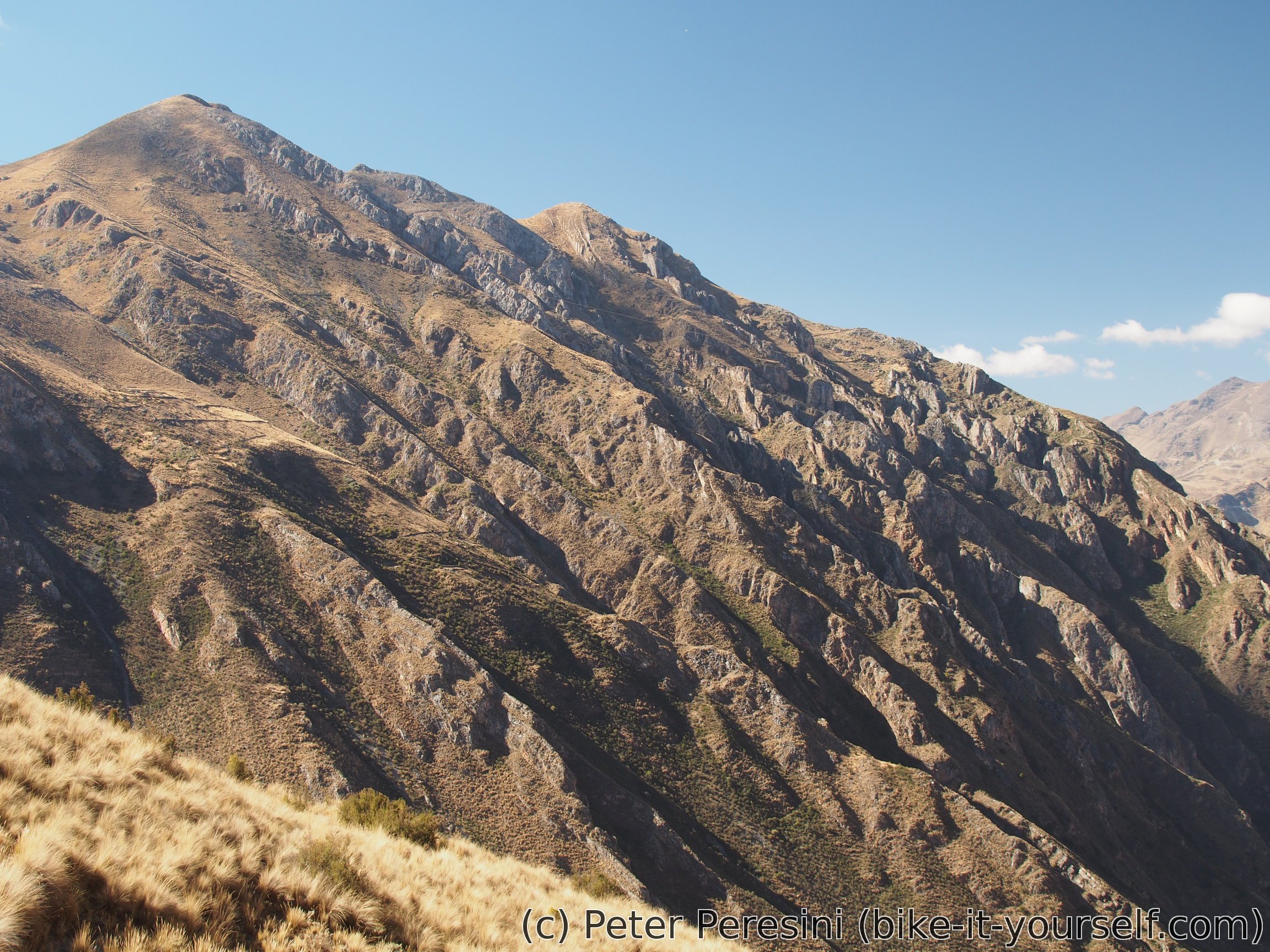
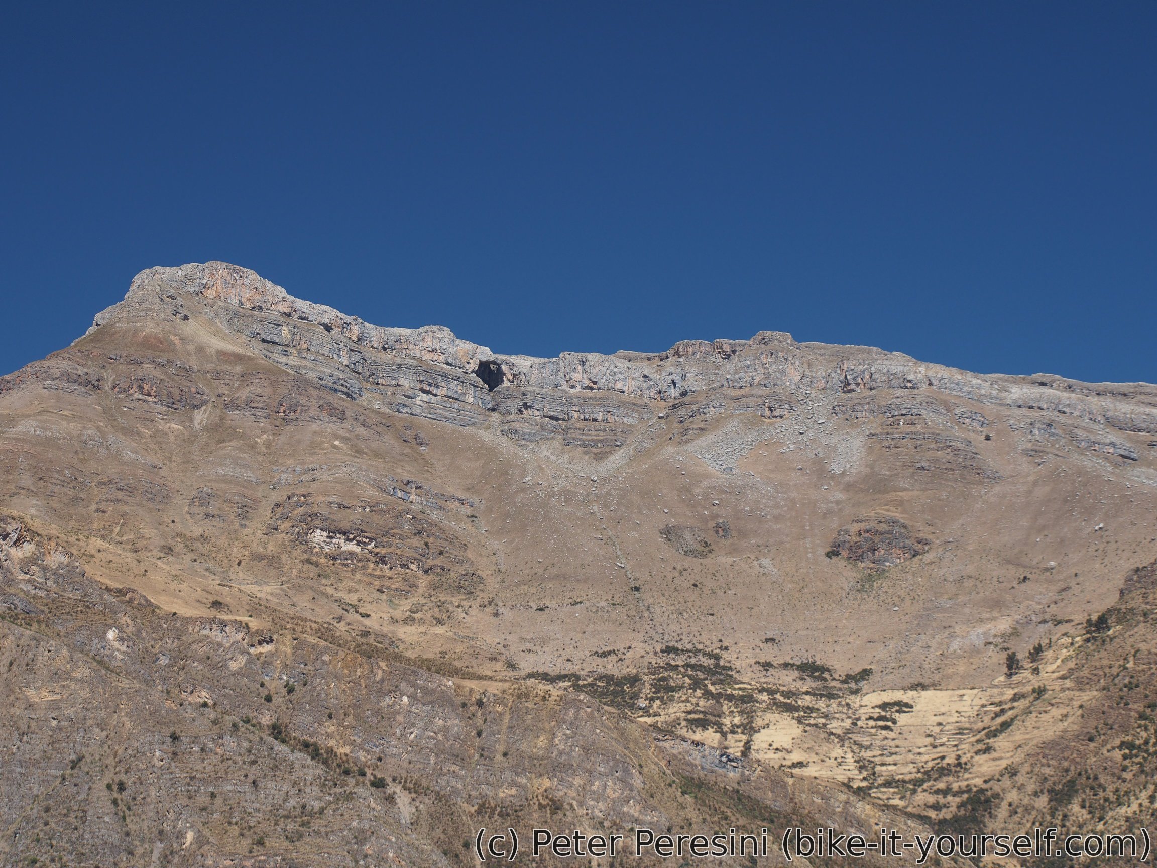
While the views are generally perfect with the road climbing up around deep valleys and overlooking steep cliffs on the other side the surface quality isn't that stellar as the road gets quite loose-rocky. Still, it is rideable all the way and in the late afternoon I finally reach the highpoint. From there a short descent follows until I have a choice in the route. I can follow the original Pikes route or switch to what is supposedly a nice alternative skirting around the canyon I was overseeing the whole day. Needless to say, nicer alternative wins (and it presumably has less climbing as well).


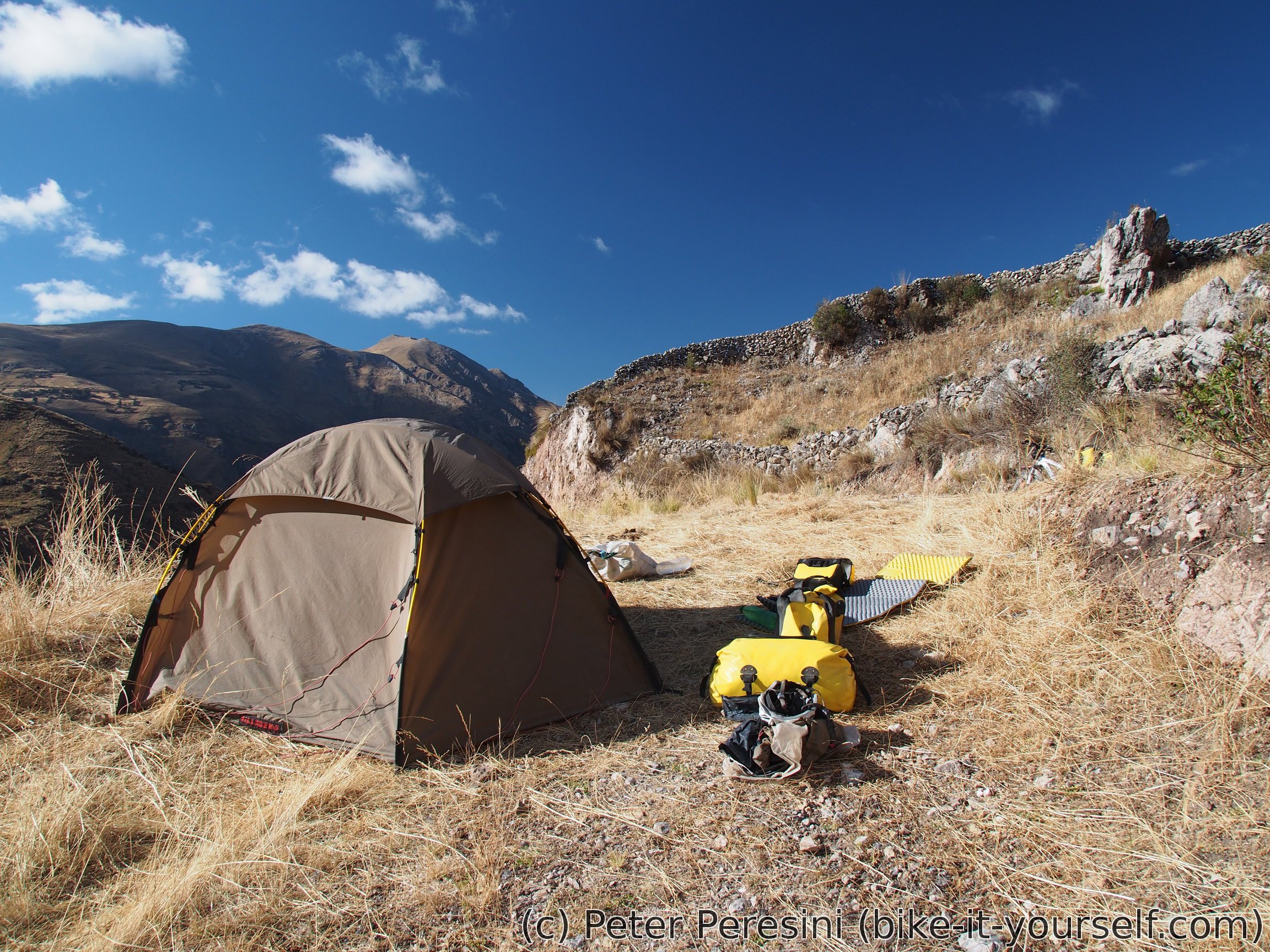
With the late hour I try to get as much down as possible for camping. It isn't too much though -- the road quality isn't suitable for fast descents and there are a few undulations as well. In the end I find my campsite at about 3900m.
August 16
There aren't many cyclists in the Andes. It is therefore quite some surprise to see a local man riding a bike past my tent. Before I manage to pack I also have a second visit -- two old ladies passing by invite me for a breakfast. Unfortunately, with my stomach full from just finished meal I need to decline this generous offer.
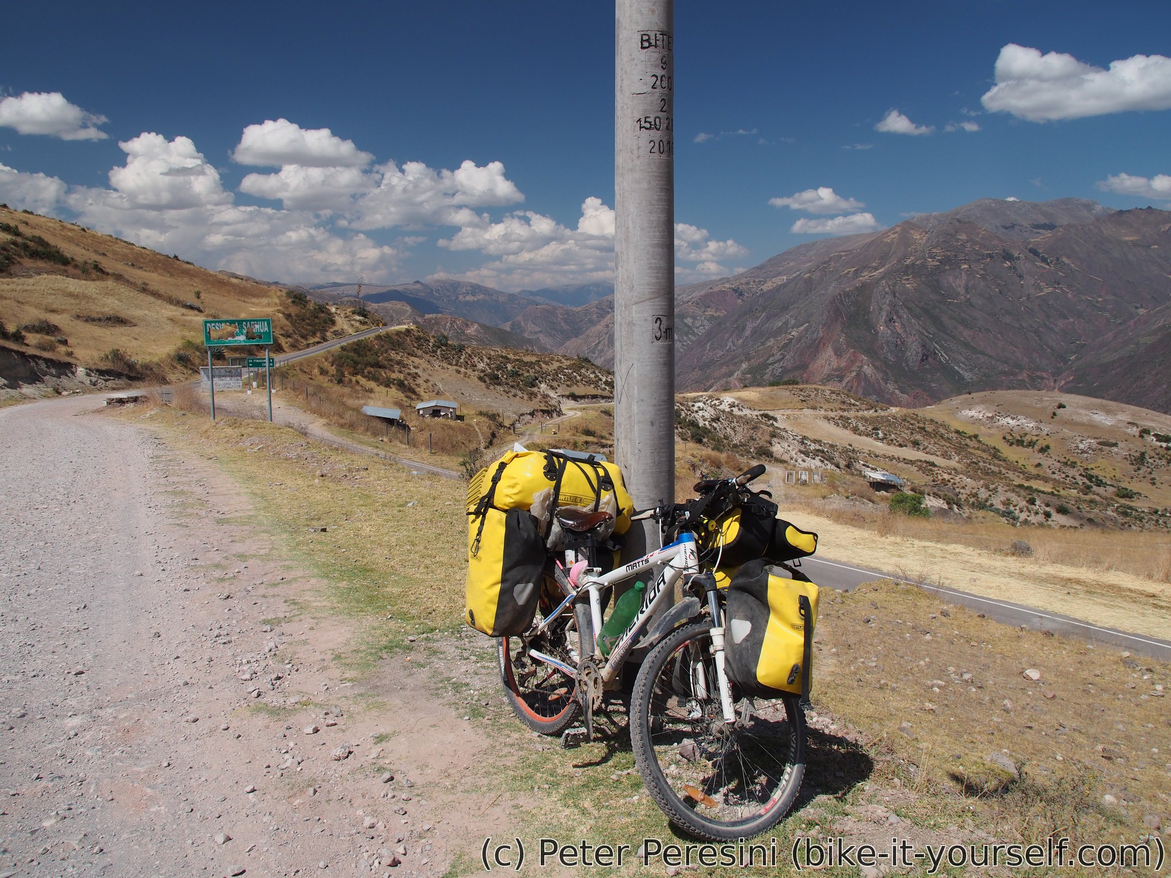
The day starts with a tiny bit of climb just to be resumed by a long descent around a nice canyon. At one road junction I am a bit puzzled as to where I should go -- this road isn't on my GPS map and so I need to make an educated guess based on what I remember from the satellite view. The road then surprisingly climbs about 300m to and above Quinasi. Another descent and I zoom past Totos/Veracruz, climb a bit and then descend to Vilcanchos.
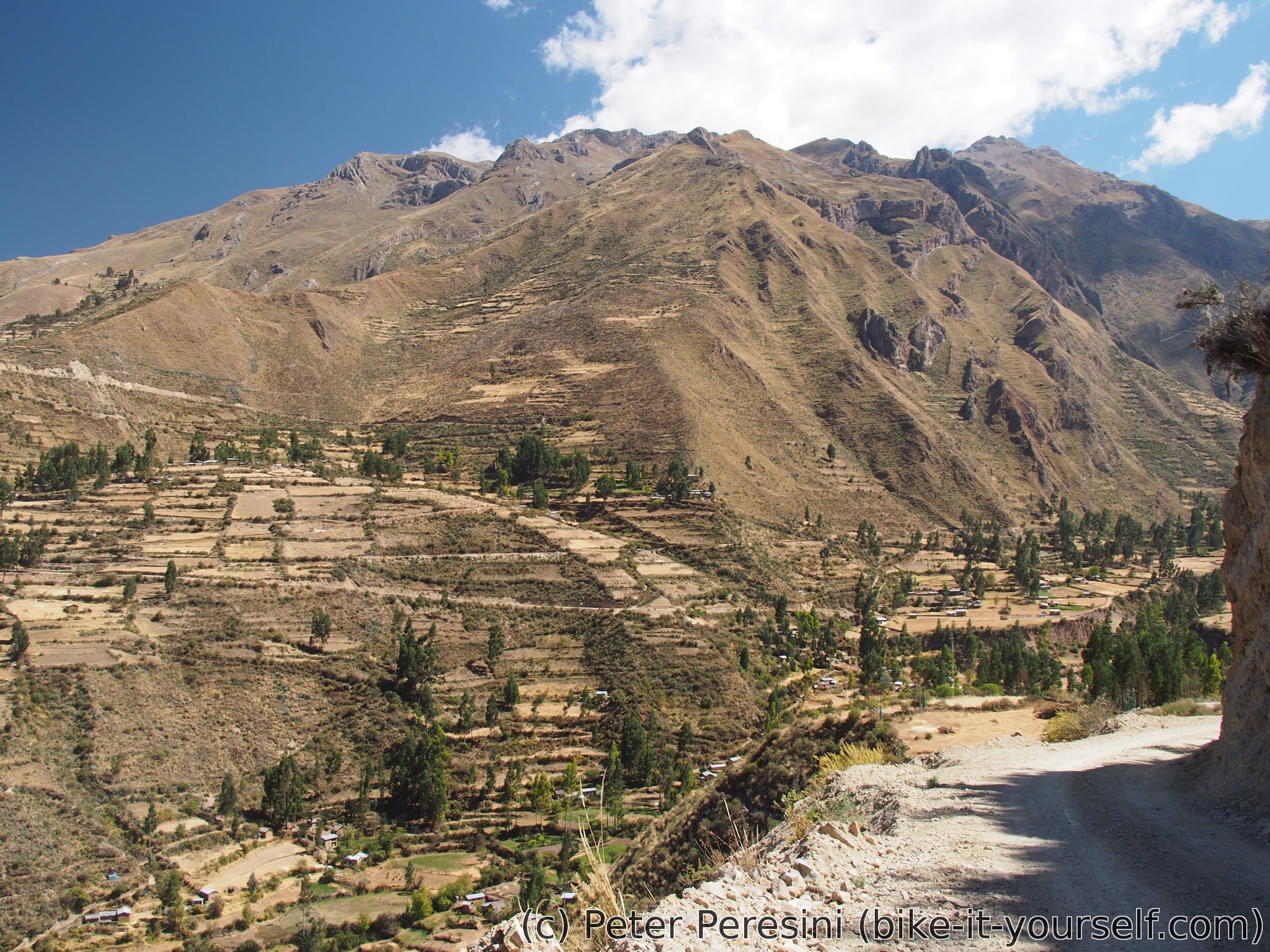
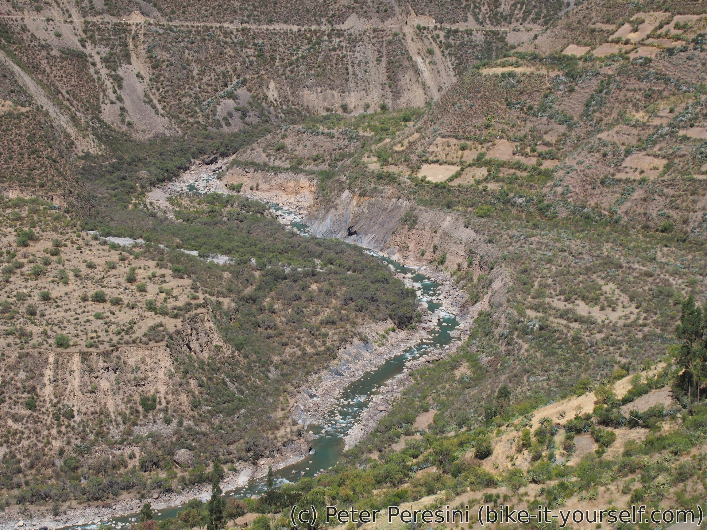
Vilcanchos lies down in the canyon and has great mountains around. I make a late lunch break there. Even though I replenish my energy I am not very keen on continuing. Vilcanchos lies low enough (e.g., 3000m above the sea) for the heat to really hit me. Nevertheless it is too soon to end up here so I continue slowly climbing around and above a nice river. The hot weather is suddenly replaced by strong gusts of headwind. And then the road decides to climb up from the bottom of the valley and I end up facing a steep 200m climb to Paras.
I was wondering whether I will manage to get to Paras before the Sun disappears. Somehow I managed and it is good to find a hospedaje there. With the night already settling in I head into the streets to search for some food and shops. There isn't much of a variety but double portion of broster with papas fritas more than satisfies my hunger.


Route
Download simplified GPX of a route here
Stats by activity:
| Activity | Distance (km) |
Ascent (km) |
Pedal rotations (thousands) |
|---|---|---|---|
| bike | 209 | 3.9 | 57 |
| stroll | 2 | 0.1 | - |
| Date | Distance (km) |
Ascent (km) |
Avg. temp (moving, C) |
|---|---|---|---|
| Aug. 13, 2017 | 62.9 | 0.97 | 22.3 |
| Aug. 14, 2017 | 58.9 | 0.82 | 19.5 |
| Aug. 15, 2017 | 36.7 | 1.27 | 21.9 |
| Aug. 16, 2017 | 53.0 | 0.92 | 23.4 |
Elevation data
The next table is only for cycling activity.
| Grade(%) | Ascent (km) | Descent(km) |
|---|---|---|
| < 2 | 46.5 | |
| < 4 | 13.0 | 12.5 |
| < 6 | 13.1 | 14.2 |
| < 8 | 11.7 | 8.4 |
| < 10 | 4.1 | 5.1 |
| ≥ 10 | 3.6 | 6.4 |
Child Dosage Of Keflex Badype <a href=https://bansocialism.com/>buy cialis online</a> Nurify Tadalafil Cialis