Chañaral to Paposo
April 23
In the morning I am too lazy to get up. Part of this is due to late night working on the internet -- I was trying to figure out what happened to my GPS because it started to forget current time. And as if to make the morning even more gloomy, I am missing two items. First of all, I don't have my sweatpants. I probably forgot them in the previous hostel. But given my current circumstances, I don't think I will be really missing them.
The other missing item is my USB wall charger. I know it has to be somewhere. But where? I am going through all my panniers twice without any success. I almost decide to just believe it is packed somewhere when I find it under a bed cover.
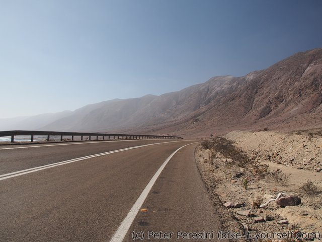
As if to corraborate my morning mood, the weather near the ocean isn't much sunny. At least the road is decent.
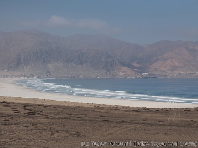
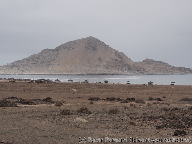
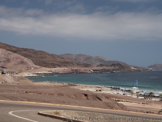
I am entering NP Pan de Azucár and sitting down for a lunch with a spectacular view over Playa Blanca where there are big waves. Then I continue through the park until the official campsites. This point marks the end of a coastal ride as the road turns inland.
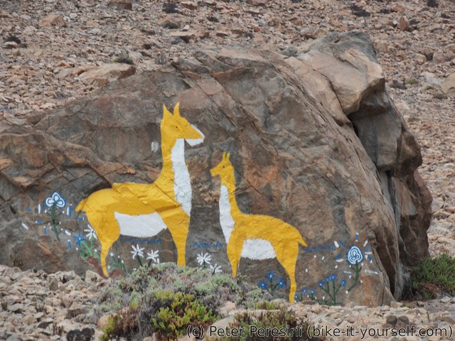
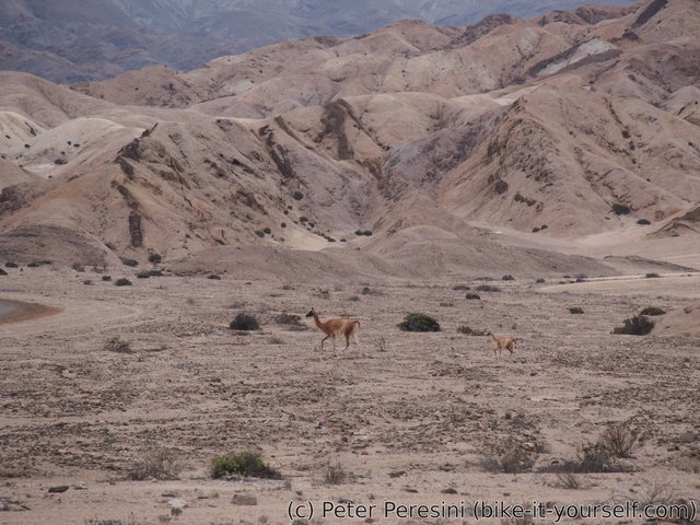
Going inland quickly turns the gloomy weather into a sunny one -- which is to say, probably for the worse. The Sun quickly forces me to get off all but the basic layer of clothing. Pedalling slightly uphill, I am coming across two spectacles. The first one is a guanaco with a small one. I could swear the duo is from a painted rock I saw earlier.
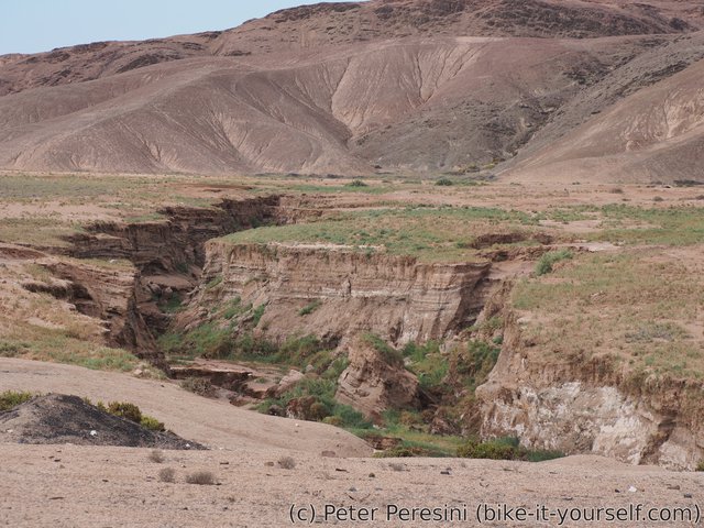
Next I come across what I could basically call an oasis -- the desert suddenly turns into a green fields of grass. Very nice, but as it goes with all oasis, it doesn't last very long.
In the evening the road leads me back to Ruta 5. Fortunately, I quickly find a parallel detour which gets me at least a bit more from the road. Which is a good idea as Ruta 5 is super noisy with all the trucks. From my camping spot it is just a bit noisy.
April 24
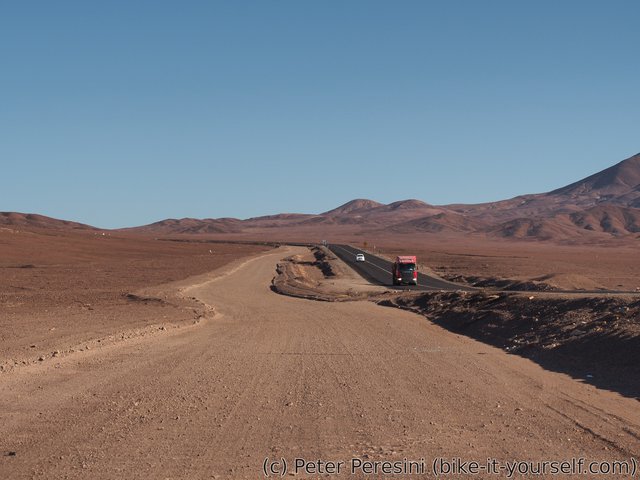
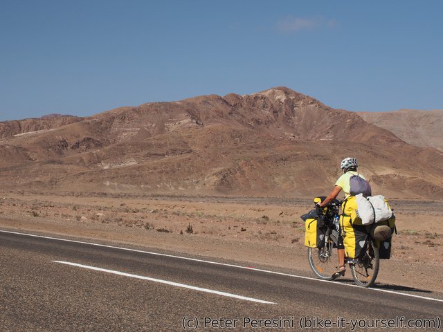
Right in the morning I am forced to take Ruta 5 as there is a lack of any alternative road. Of course, my plan is to ditch this noisy abomination as soon as possible. Which happens, to my great delight, very soon -- it appears that they are planning to extend the road into a full two-lanes in each direction motorway. Which means I have an alternative ripio road only to myself.
Because I am in the desert, I quickly realize that my water supplies are dwindling at rather faster rate than predicted. I hope that a small detour the village I will be passing around my way wouldn't end up in a ghost town and that somebody will give me a bit of water.
While I am tackling an uphill on my ripio "Ruta 5", I am observing that the traffic slowly dies off. I guess most of the trucks start very early in the morning and are now gone. This makes me reconsider using the paved road for a quick downhill.
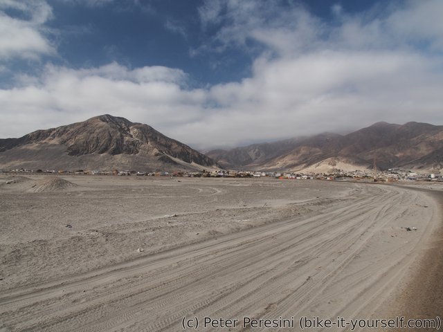
Now I am again off the pavement and right into a terrible sand-road. Fortunately not for long -- it looks like my GPS doesn't contain the main ripio road but a miserable shortcut. In any case, I am up to climb another 200 meters. Which means it is a right time to have a lunch. As there is a cool wind blowing, I am not cooked alive while stuffing myself with whatever I can find in my panniers and thus I can fully enjoy the break.
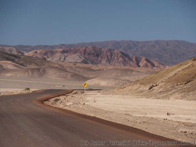
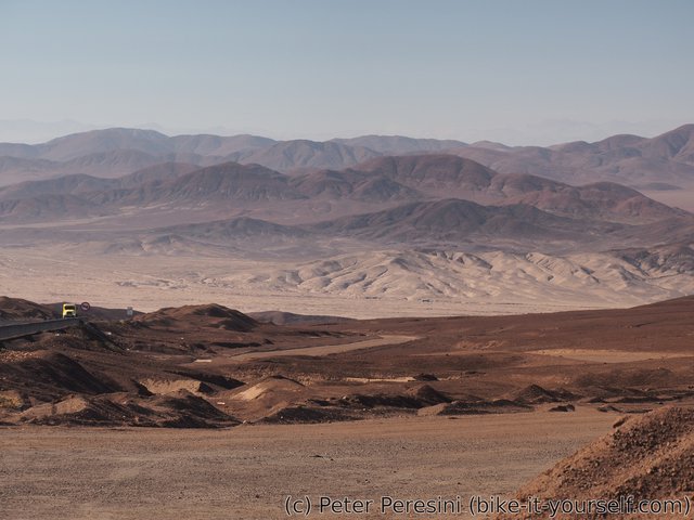
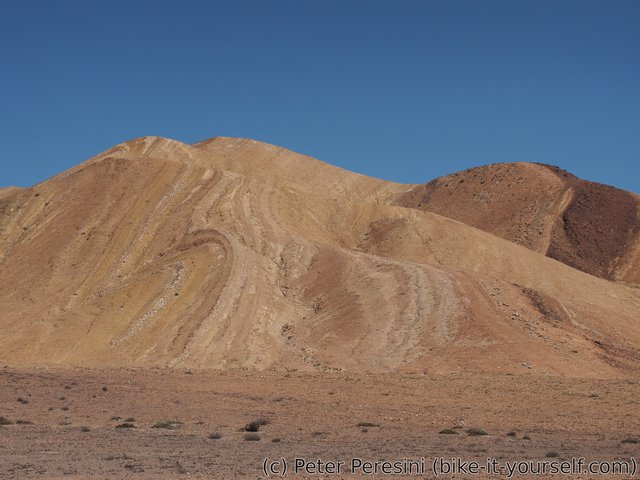
The views of thus far can be described only as dry. There is zero greenery around, just bare hills with rocks or sand. This doesn't change with a subsequent descent of about 600 meters. Only the hills get a bit more colorfull.
At the end of the descent I am rewarded by a view of an active mining complex. Normally I wouldn't be very excited but hey, there is a guard which means I can get water without any detour.
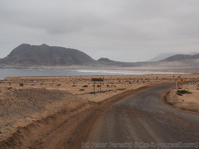
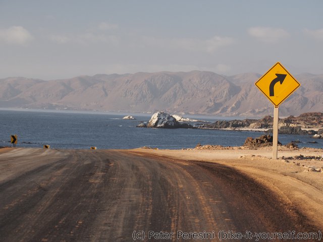
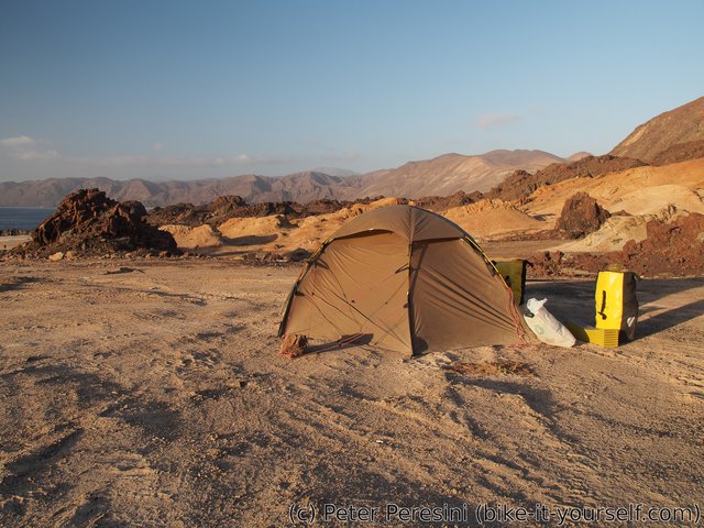
Resupplied with water, I am ending up (for a while) on a paved road. Until I turn into another ripio shortcut, this one goes directly to the coast. At first I am not sure about it because my GPS maps doesn't show this as a reasonable-quality map. But it turns out that they are either wrong or outdated -- the road is a nice compacted ripio and by the time the Sun sets I am already enjoying a nice coastal scenery from my tent.
April 25
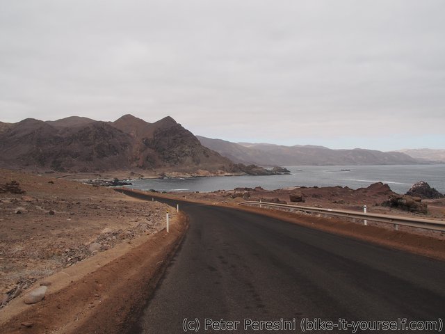
The morning starts with standard coastal clouds. And a welcome absence of the wind though it is slowly picking up. To my surprise the coastal road, which according to my map goes to "nowhere", is much more used than it should be. I have no idea where all of these cars are going from/to.
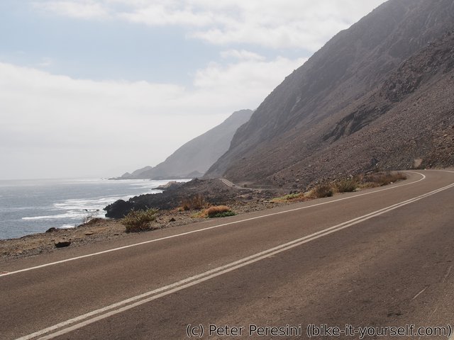
I always thing that taking coastal roads is a good idea. Until I ride them. These roads tend to newer stay flat -- they just go up and down like a rollercoaster. Thus I am more than happy to arrive to Taltal by the lunch.
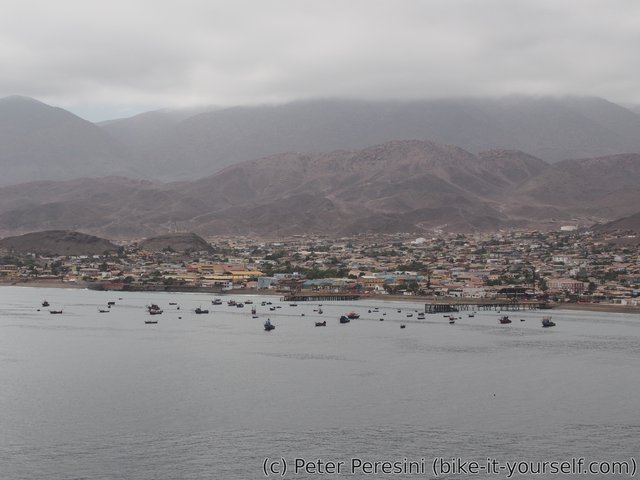
Taltal is quite lively city. There are lots of people on the streets and everybody seems to be quite cheerful. I quickly visit a local supermarket, recharge my stomach and get water in some bar which is apparently closing right now. After all of this, I am ready to continue another 50 kilometers to Paposo.
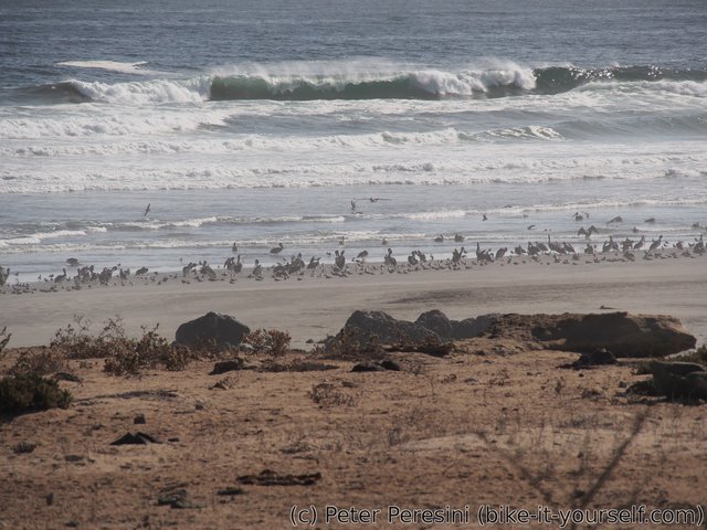
The road to Paposo - Ruta 1 - is paved and with a bit of traffic (though not too much). The clouds disappeared during the lunch as thus now I have superb views over the ocean and playas with what can only be described as bird parties. Unfortunately, this has a downside too -- the Sun now fully uses its power on any cyclist passing by. Damn, where is the cool wind?
Despite the heat I manage to cycle all the way to Paposo. Only to find that this large village doesn't have a hostel. I mean, really? I would expect at least something for the cars passing on Ruta 1. But no, this is a fishing village where all accomodation options are only for companies.
As a result of my hostel failure, I am forced to cycle two kilometers past the village and find some useable spot over the cliffs above the ocean. The views aren't that bad but the place isn't exactly clean -- it seems like people like to throw trash around here.
Route
Download simplified GPX of a route here
Stats by activity:
| Activity | Distance (km) |
Ascent (km) |
Pedal rotations (thousands) |
|---|---|---|---|
| bike | 205 | 2.1 | 49 |
| Date | Distance (km) |
Ascent (km) |
Avg. temp (moving, C) |
|---|---|---|---|
| April 23, 2017 | 59.3 | 0.76 | 18.9 |
| April 24, 2017 | 75.8 | 0.81 | 22.4 |
| April 25, 2017 | 69.5 | 0.53 | 21.2 |
Elevation data
The next table is only for cycling activity.
| Grade(%) | Ascent (km) | Descent(km) |
|---|---|---|
| < 2 | 72.0 | |
| < 4 | 29.1 | 23.6 |
| < 6 | 9.8 | 13.9 |
| < 8 | 2.5 | 1.9 |
| < 10 | 1.0 | 0.4 |
| ≥ 10 | 0.9 | 1.2 |


