Hiking around El Chaltén
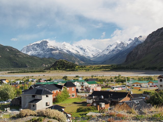
El Chaltén is basically an Argentinian equivalent of Torres del Paine for hiking. Except that it is much easier -- all the campsites are free and most of the hikes can be done from the village in one day. The only exception is the 4-day trek through Paso del Viento for which you need to also have a harness and some carabiners as there are two zipline crossings over a river. I really wanted to do this hike but upon reaching El Chaltén the gods of forecast told me not to do so. First of all, the route is quite unpleasant when it is super windy. And the weather wasn't supposed to be such stunning either. Secondly, for my next part I am doing some adventurous crossing between Argentina and Chile which involves two boat rides and the second boat goes only if the weather (winds) permit. As I saw the wind forecast, it was pretty much clear that I need to take the boat soon-ish unless I want to wait in El Chaltén (or even worse, Candelario Mancilla) for a week. So I decided to take the next day hiking, then go to a Lago del Desierto and from there spend the next day doing the border crossing. However, after the first day I decided to hike a bit more and instead attempt to do the crossing on a slightly tighter schedule. But I will write about that later.
January 4
Today's forecast was the best from the surrounding days. So I decided to hike up to Laguna De los Tres which has beautiful views on the Fitz Roy.
The morning is very cold, I even saw some snow flakes though not much. I am getting some information about the boat ride on Lage del Desierto and buying a road map of Patagonia so that I have some paper reference for easier planning. Afterwards I am ready to do the hike.
As I am going up, the sun starts to heat the air but once there is some wind, it is very very cold. I am meeting four Germany girls from the camping which are going on the same trip and are overtaking me.
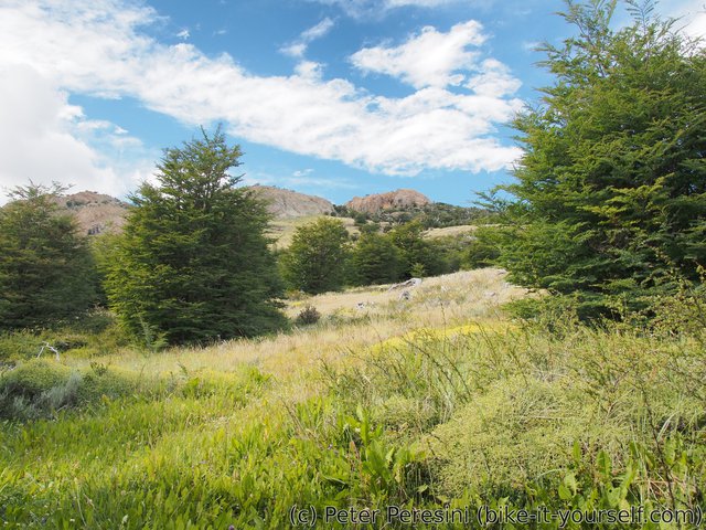
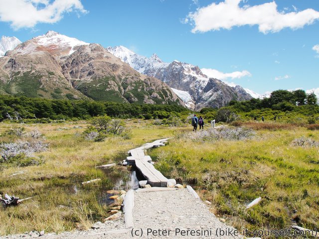
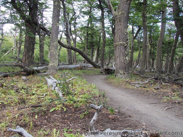
The trail goes up through a green land with trees similar to what I saw in Torres del Paine.
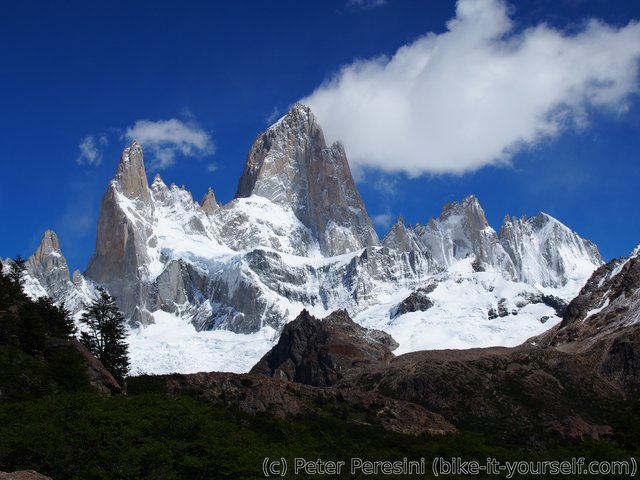
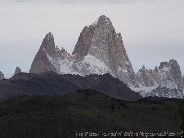
After some time, I have the first view on Fitz Roy and it is really stunning. This is really a king of a mountains here.
The hike is still not done yet. I have a lot more of ascent to do before I reach the laguna. On the way up I am again meeting with Tom and Harry and chat with them about their plan for the next few days.
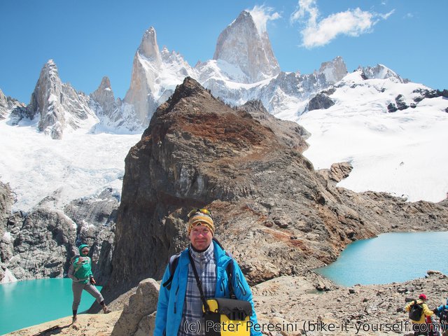
At the end of the route, the views are just stunning. Two azure-blue lakes, glaciers and Fitz Roy are really worth it. And the weather is perfect, the sky is mostly blue, it is sunny and in general a very spectacular day for this view.
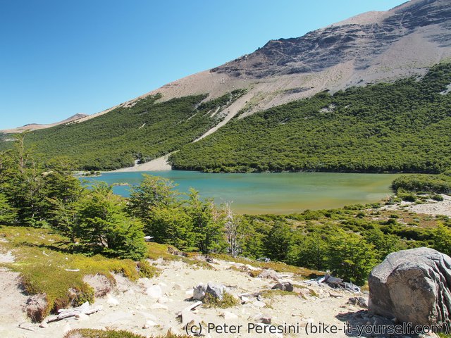
On the way back, I am choosing to take a detour through Madre e Hija route which joins the second most used trail in the part going to the Torre. However I underestimate the length of the connector and I am starting to feel a bit tired. Even worse, my left leg starts slowly to complain again. Apparently I should do some more resting and at it easy.
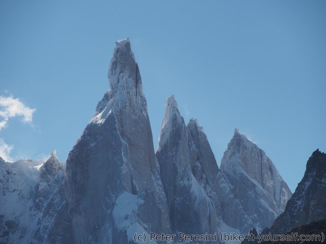
When I finally reach the Laguna Torre trail, I have a stunning view of Torre. In Switzerland, it would definitely be called Aiguille because it is just this very steep needle-like peak. Unfortunately, the sun is in my face which means a lot of shadows but the scenery is still top-notch.
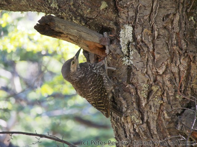
I am finally returning home and I tiredly look at the sign telling me that I have to do 5 more kilometers. The hiking is slow and I really do feel the distance. But there are still things to view. I am suddenly spotting a nice birds. They are not really shy and super-photogenic. A real treat for the end of the trek.
Unfortunately the last 3 kilometers of the trail my GPS died so I don't have a proper recording of it, just a rought approximation from my time at the end.
January 5
The start of the day is quite gloomy -- the isn't much of the sun because there are high clouds which are quite thick. Moreover, as usual it is windy from the morning.
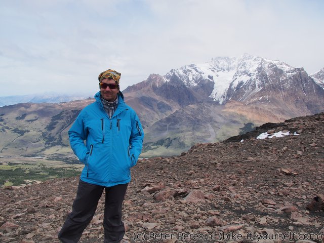
I decided to take another hike, this time to Loma del Pliegue Tumbado -- a panoramic viewpoint of the whole park. As I am going through the city, I am meeting the German girls again. They are trying to hitchhike a car but so far with a little success because there aren't many cars on the road.
Then I start going up -- in fact the whole trail is just going up 1000 meters to a hill, however, unlike in Switzerland the first part is really gradual and the trail takes 10 km to get there.
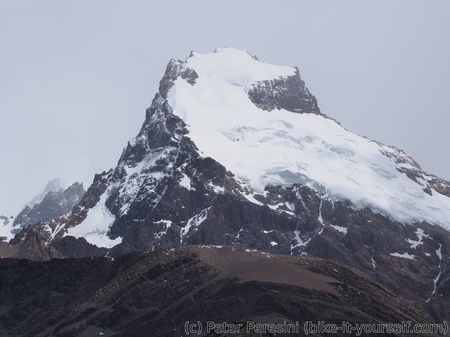
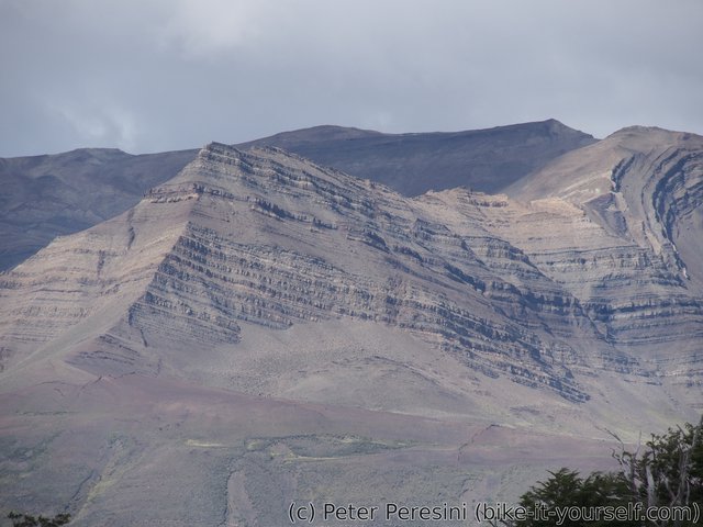
As I finally reach the top, I have a decent views. As I have lunch in a wind shadow the views progressively get worse. When the wind picks up and it looks like it might drizzle, I am ready to go back to the town.
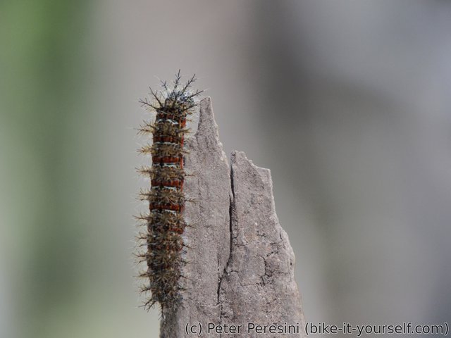
The weather on the way back isn't as nice as in the morning but it isn't raining so I can't complain. Instead, I am looking at myriads of small caterpillars on the trail.
Route
Download simplified GPX of a route here
Stats by activity:
| Activity | Distance (km) |
Ascent (km) |
Pedal rotations (thousands) |
|---|---|---|---|
| hike | 49 | 2.3 | - |
| Date | Distance (km) |
Ascent (km) |
Avg. temp (moving, C) |
|---|---|---|---|
| Jan. 4, 2017 | 28.0 | 1.09 | 9.6 |
| Jan. 5, 2017 | 21.3 | 1.19 | 10.6 |
Elevation data
The next table is only for cycling activity.
| Grade(%) | Ascent (km) | Descent(km) |
|---|---|---|
| < 2 | 0.0 | |
| < 4 | 0.0 | 0.0 |
| < 6 | 0.0 | 0.0 |
| < 8 | 0.0 | 0.0 |
| < 10 | 0.0 | 0.0 |
| ≥ 10 | 0.0 | 0.0 |


https://bestadalafil.com/ - Cialis Cheapviagra From India <a href="https://bestadalafil.com/">tadalafil cialis from india</a> The work done by the treading limbs goes into the kinetic energy of the acceler ated water. Jufyxh cialis and alcohol https://bestadalafil.com/ - Cialis
<a href=http://iverstromectol.com/>stromectol 12mg</a> venta de viagra en espanol
Dompmartin 15, D <a href=https://bestcialis20mg.com/>cialis buy online</a>