
San Pedro de Atacama to Laguna Colorada (Lagunas route part 1)
 Share:


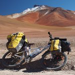
Bolivia is known for some extraordinary landscapes. Many of them could be found in the Sud Lipez part which is why there are many jeep tours between San Pedro de Atacama and Uyuni. And if jeeps can go there, so could cyclists, right? Right! That is, if you fancy steep climbs at high elevations on sandy and otherwise crappy roads! Basically, don't expect more than 30 kilometers per day. But man, it is worth it!
After such an introduction, it was obvious that I cannot miss the famous Lagunas route. Mentally prepared for a hell and physically prepared for clicking the shoot button of my camera, I left San Pedro towards Bolivia.
May 13
The extreme windy weather is almost gone. I say almost because the wind should die towards this evening. As this should be a tailwind, I hope to turn it into my advantage -- before I can cross Bolivia I need to climb over 2000 meters.
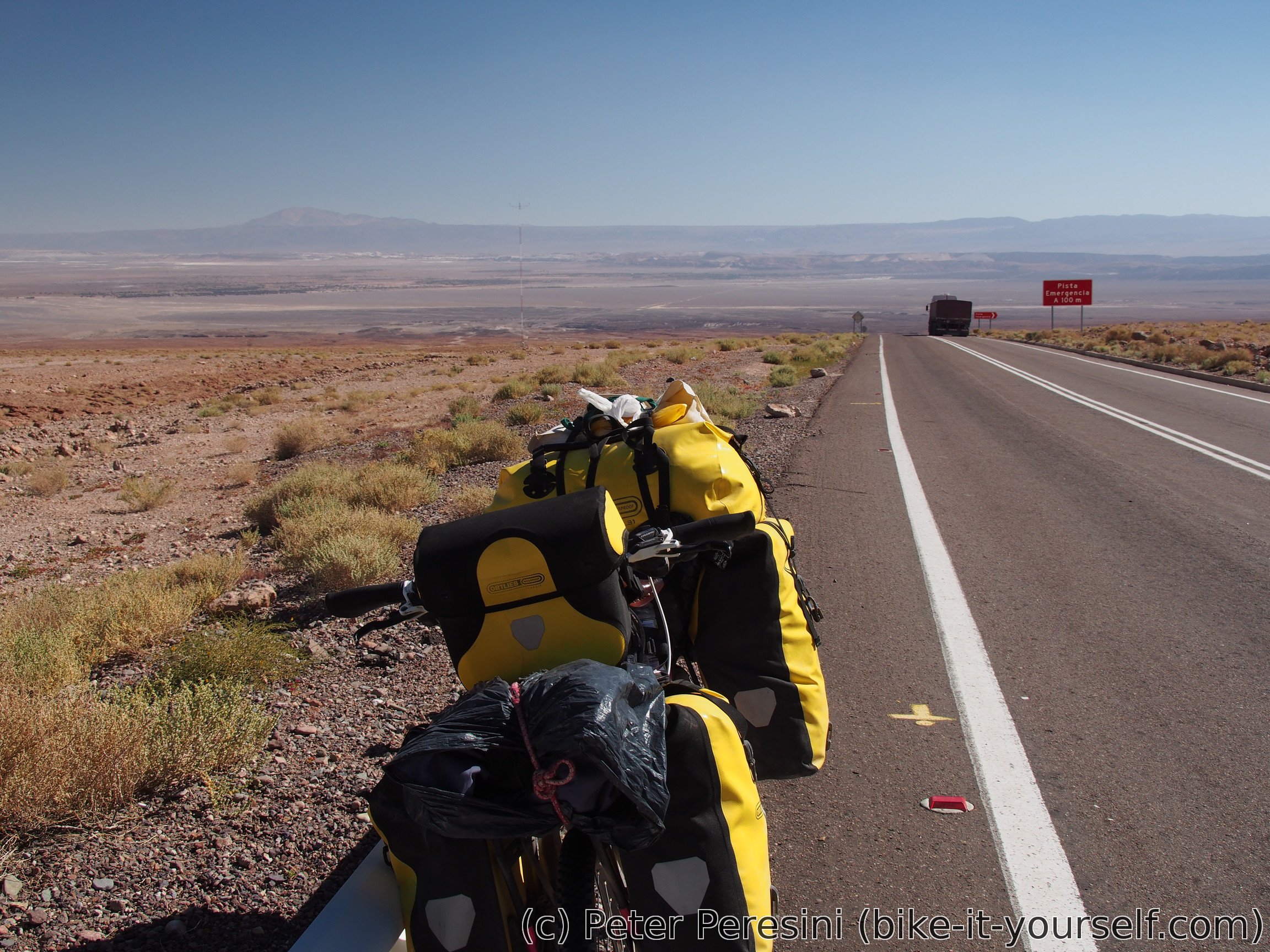
I won't leave hospedaje very soon though -- the morning is very cold and I still need to finish a blog post. In the end, I start rolling at 10am directly towards immigration office in San Pedro. The first views of the mountains also reveal that the original forecast I had in Peine was right -- there was some snow in the mountains over the night. Which is why I come across an unexpected surprise -- the immigration is closed as there is snow in the pass. I mean, really? Sure, there is snow over Paso Sice but towards Paso Jama I see no snow at all. After a long wait, it seems that both Chilean and Bolivian sides figure out and agree that there really isn't any snow in the pass and let us go. To downside is that I need to share the stamping queue with a gazillion of tourists. The little waiting adventure cost me quite some time though. When I leave San Pedro it is almost noon. Which definitely means that this will be a two-day climb.

After a short flat section, the real climb starts. And I will tell you, this isn't any joke. The climb has a constant grade of 8-10%. And apparently the damn wind which should have been pushing me up is nowhere to be felt. As if it decided to skip this part of the climb just to make me suffer.
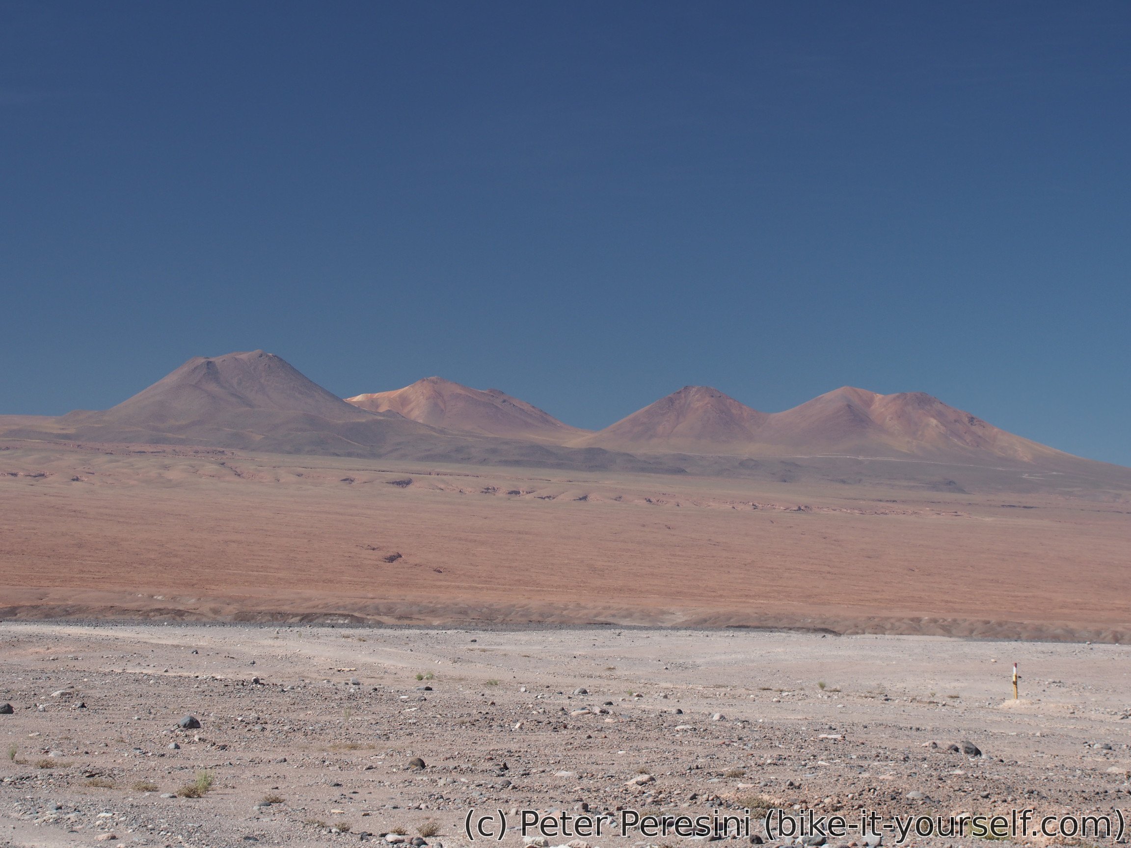
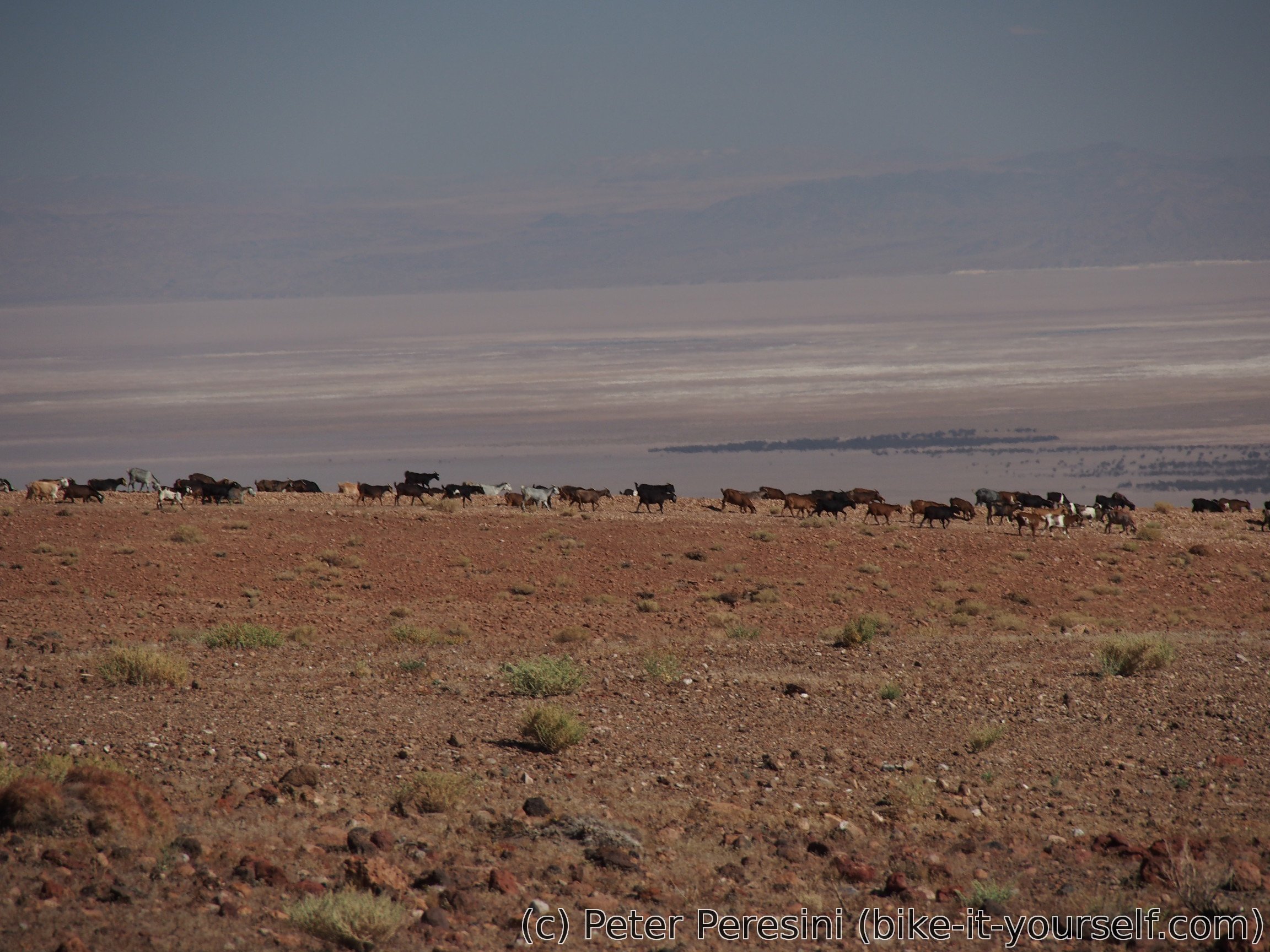
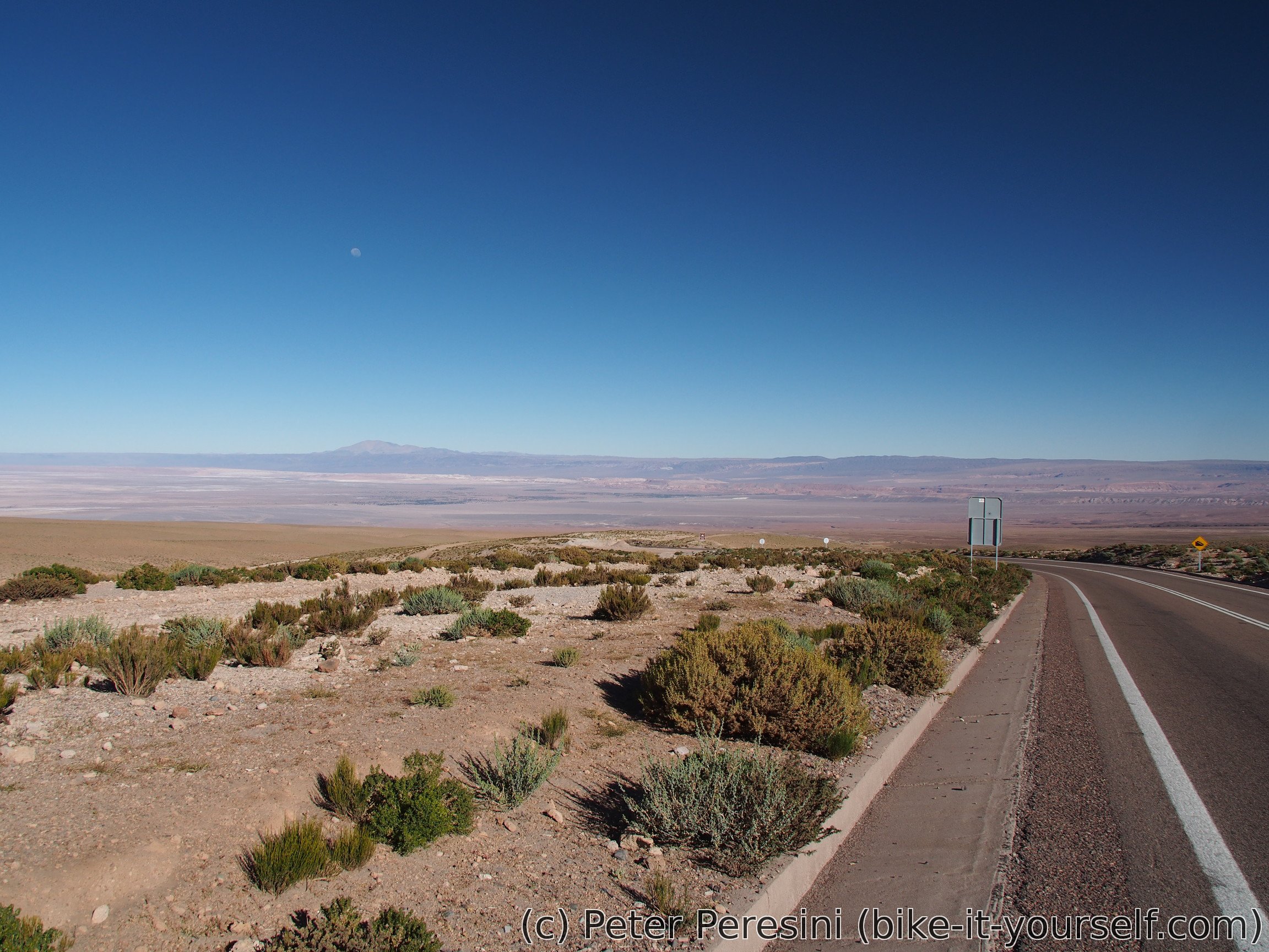
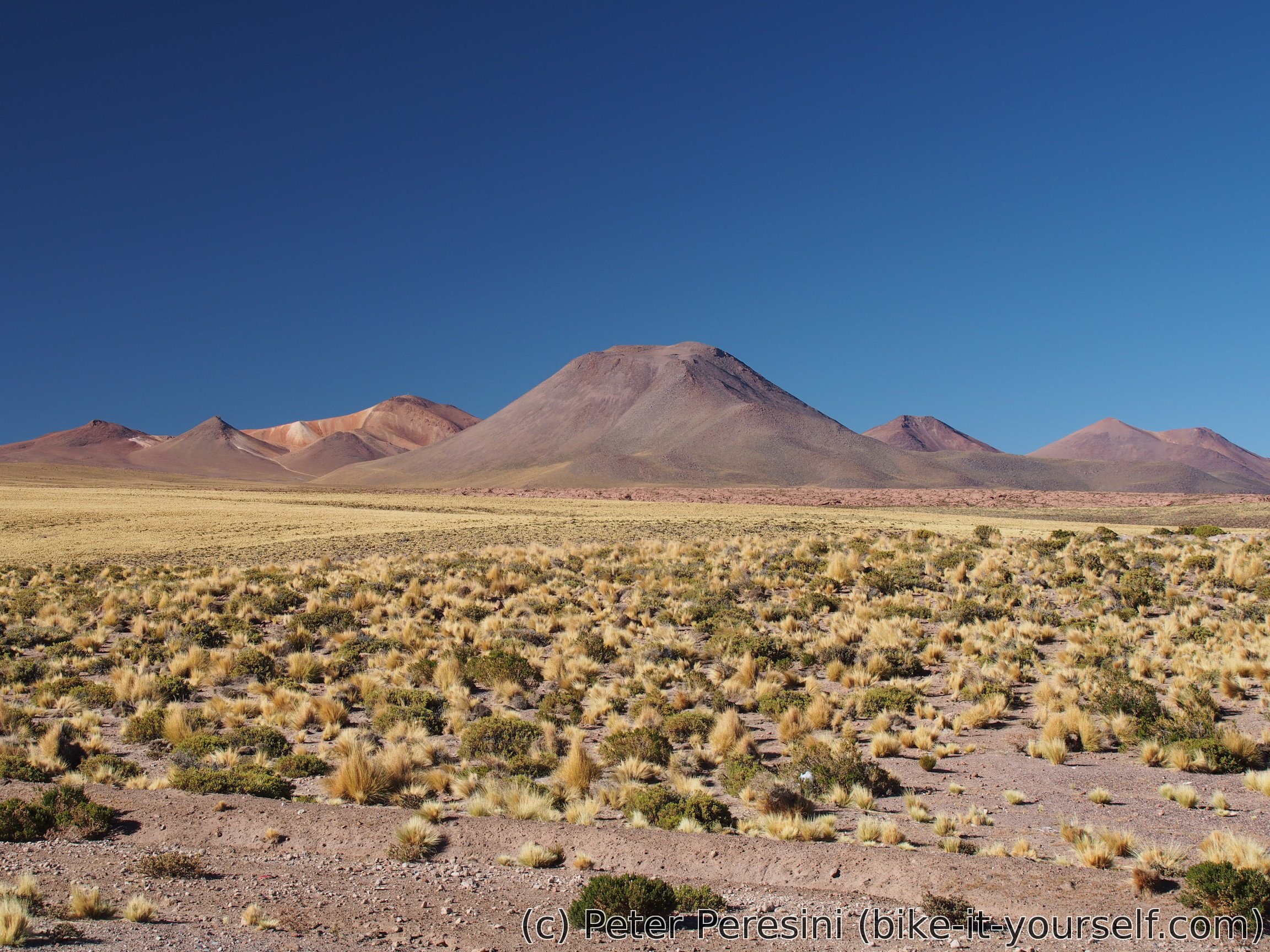
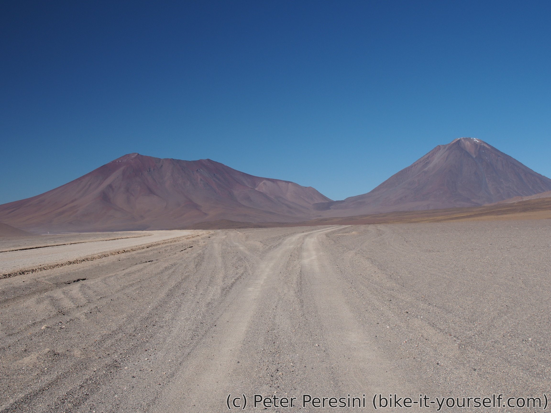
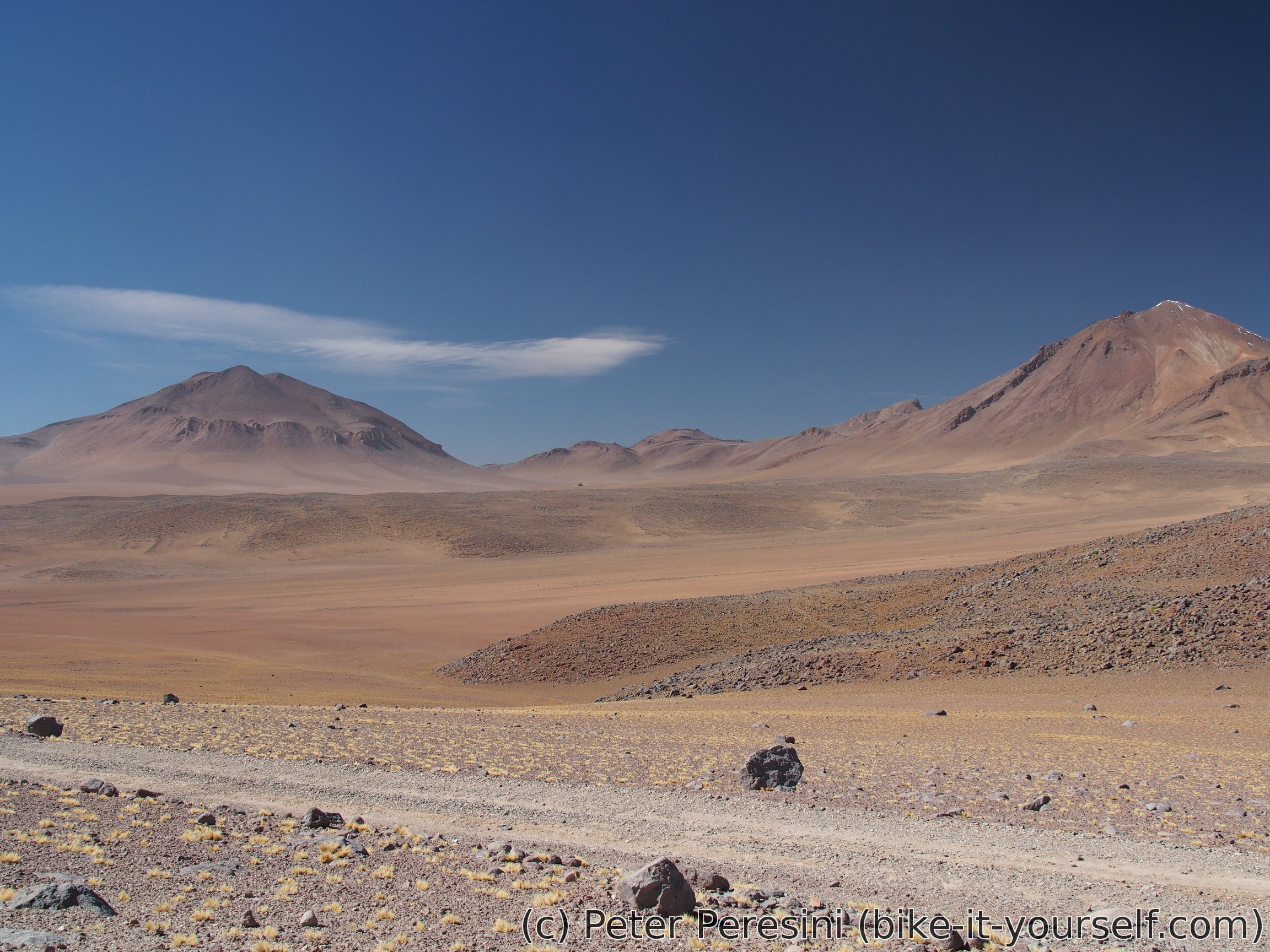
Pikes describe the views on this climb as boring. I would like to disagree. While it is true that the views aren't the most exciting in the world, they are still nice. And more than the absence of good views the boring part is the slowness with which they shift. So what I can see? Well, for a starter, there is altiplano with the salar down behind me. The road passes quite near Licancabur and Juriques volcanoes so lefthand side is more than suffieciently pretty. On the right there are some distant mountains. And all around is a standard Atacama desert though sometimes I can spot some animals.
A bit below 2800 I decide to take a late lunch break. Afterwards I set off again. This being a very tough ascent my power output slowly falls off. I find myself taking more and more short breaks. I even start pushing the bike on short sections when I can't rotate my legs anymore.
In the end I am camping at 3760m. Which is a good job given the starting time. And while there is still lots of the climb left, I should be able to cross into Bolivia tomorrow. Of course, this altitude isn't an usual beach picknic. As soon as the Sun disappears, the temperature plummets down. I wonder if it will be freezing during the night.
May 14
To my surprise the night was quite warm. Two-sleeping-bag setup I use (one sleeping bag inside another, both rated around 0°) was quite warm. In fact, it wasn't even freezing outside which is weird given the fact that people report highly sub-freezing temperatures from only 500-700 meters higher parts of the route.
In the early morning, however, a quite cold wind started to blow. And it was blowing from east. Fortunately, as soon as the Sun showed itself, the wind subsided.
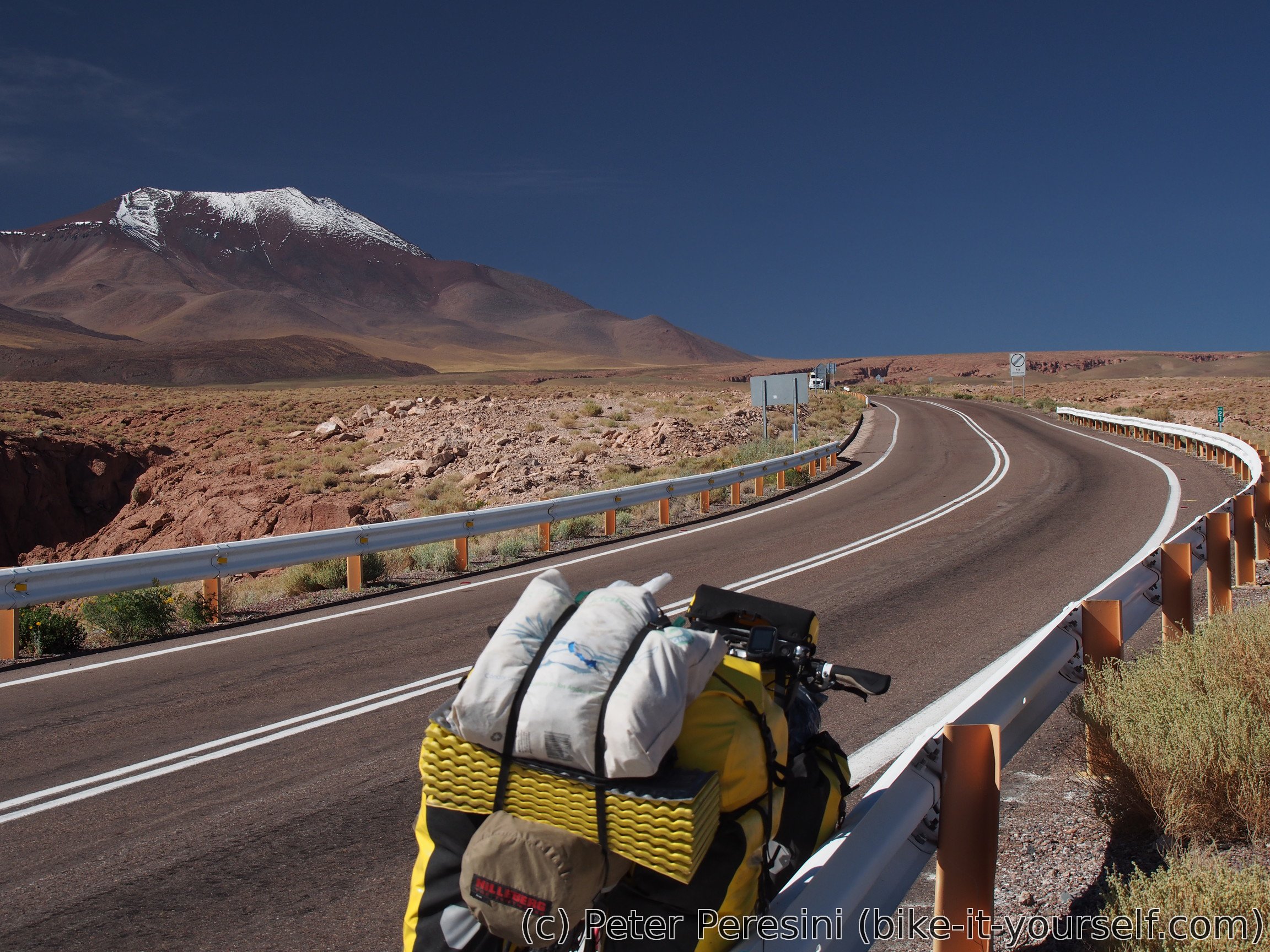
The plan for today is to simply finish the 900 meters to Hito Cajon and then hooray down to Bolivia. Of course, when I say "simply", I mean "damn hard work, why I am doing this?". In any case, the road is quite quiet. That is, until half past nine. At this time the road is suddenly busy by cars, tourist jeeps and trucks. I guess half an hour before they opened the immigration down in San Pedro.
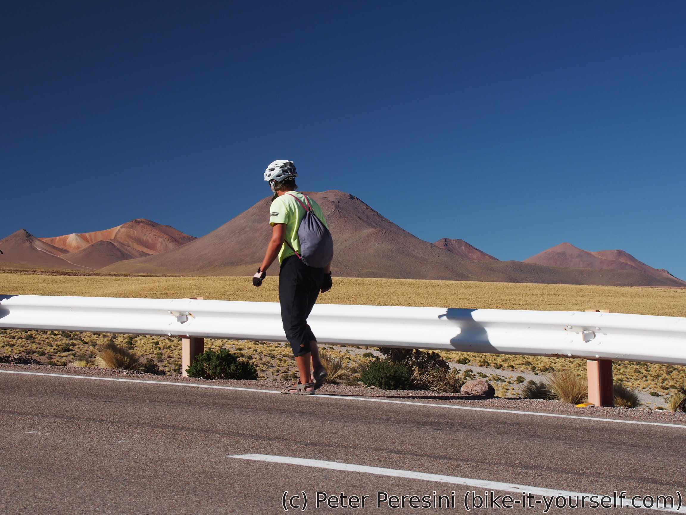
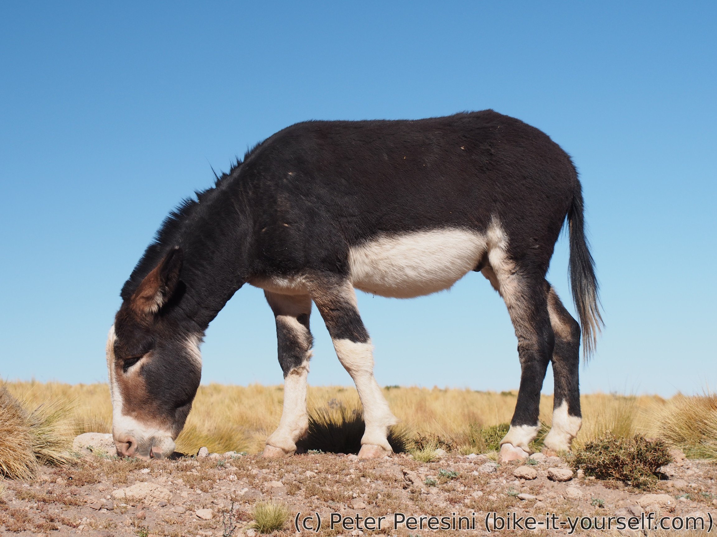
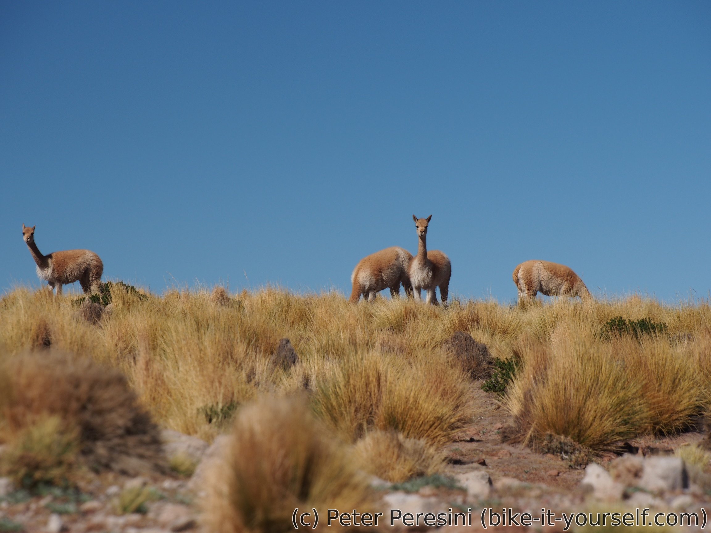
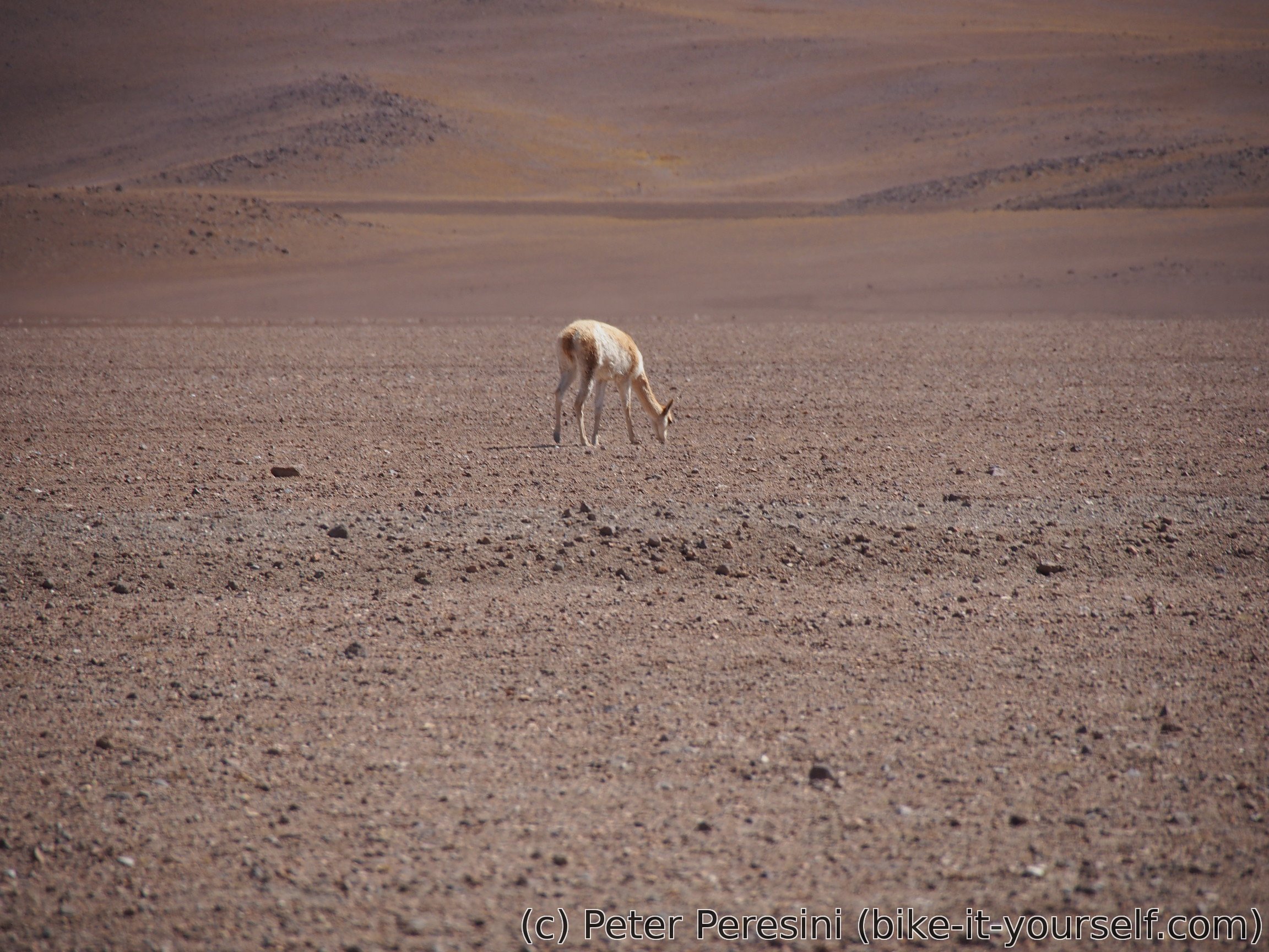
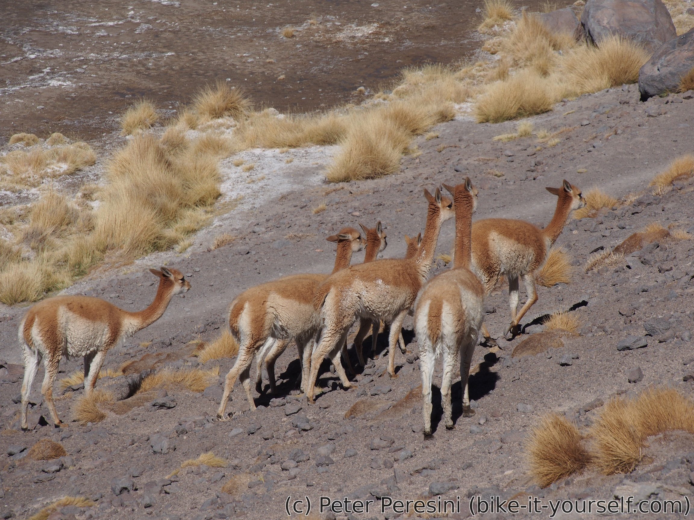
As I am climbing up, the scenery starts to change from desert into a yellow-green pampa. Here I am trying to make friends with donkeys. And while I don't convince any one to join me cycling up, they at least pose for photos. As a proper paparazzi I am also trying to catch glimpses of famous Vicuñas. I manage this but only from a distance, they are quite good at escaping the lenses.
More up and a cold wind picks up with a result of me being quite cold. The last 150 elevation meters to the pass welcomes me but my ETA just doesn't want to go down. And suddenly there is a cycling couple zooming down the road. Of course we stop for a chat. The guy seems a bit familiar but I can't say why until I learn that this is Italian I met on Paso Pino Hachado. He just changed his friend with a girlfriend to confuse me. After a brief chat I am given a bag of coca leaves with and advice to use them. And then we say goodbay and continue our journeys.
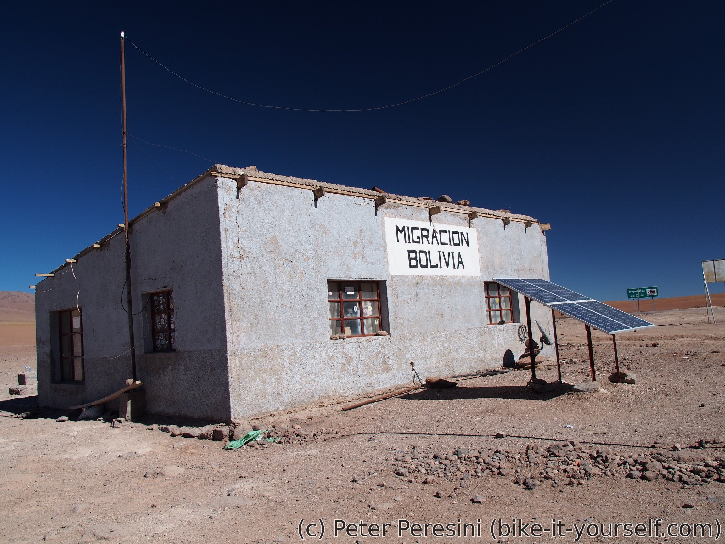
As I reach Hito Cajon, I can see a chilean immigration. Which is kind-of strange. But it is closed anyway so I just pass by down to the Bolivian side. There I am having a lunch as the immigration is officially closed until 2pm. After the lunch I am working on my entry procedure. Which is actually quite "something" -- the guy doesn't scan nor note down details of my passport, just gives me an entry stamp and two "30day" stamps because when he asks for how long I want to stay I say one and half months. Normally, this wouldn't be strange but apparently there is a rule that you can only get 30 days at a border and then you need to extend it somewhere in a big city. But then, good for me.
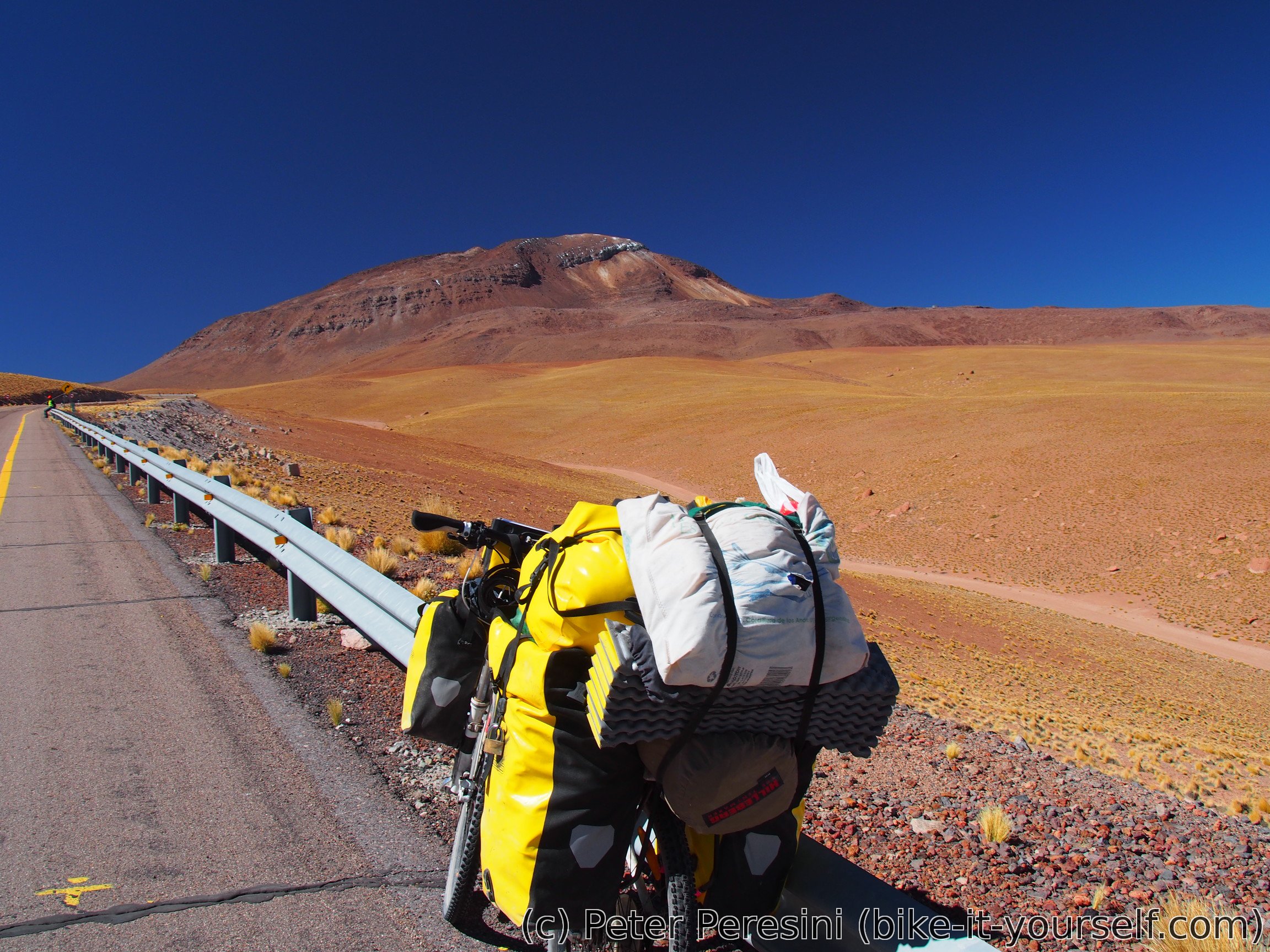
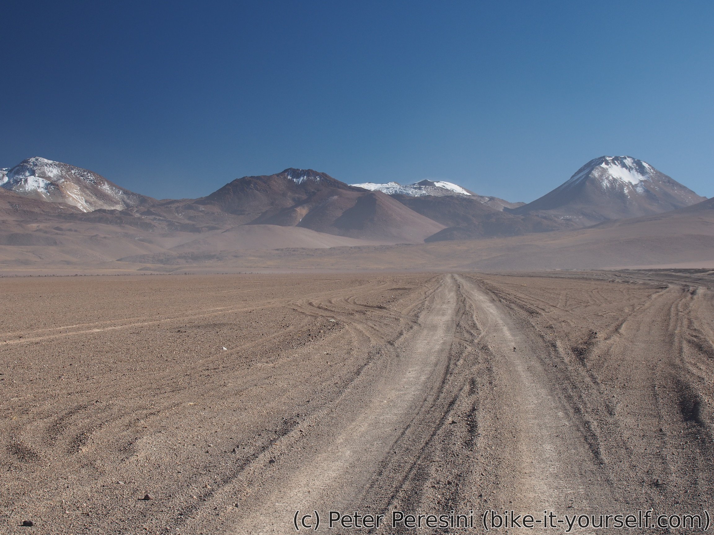
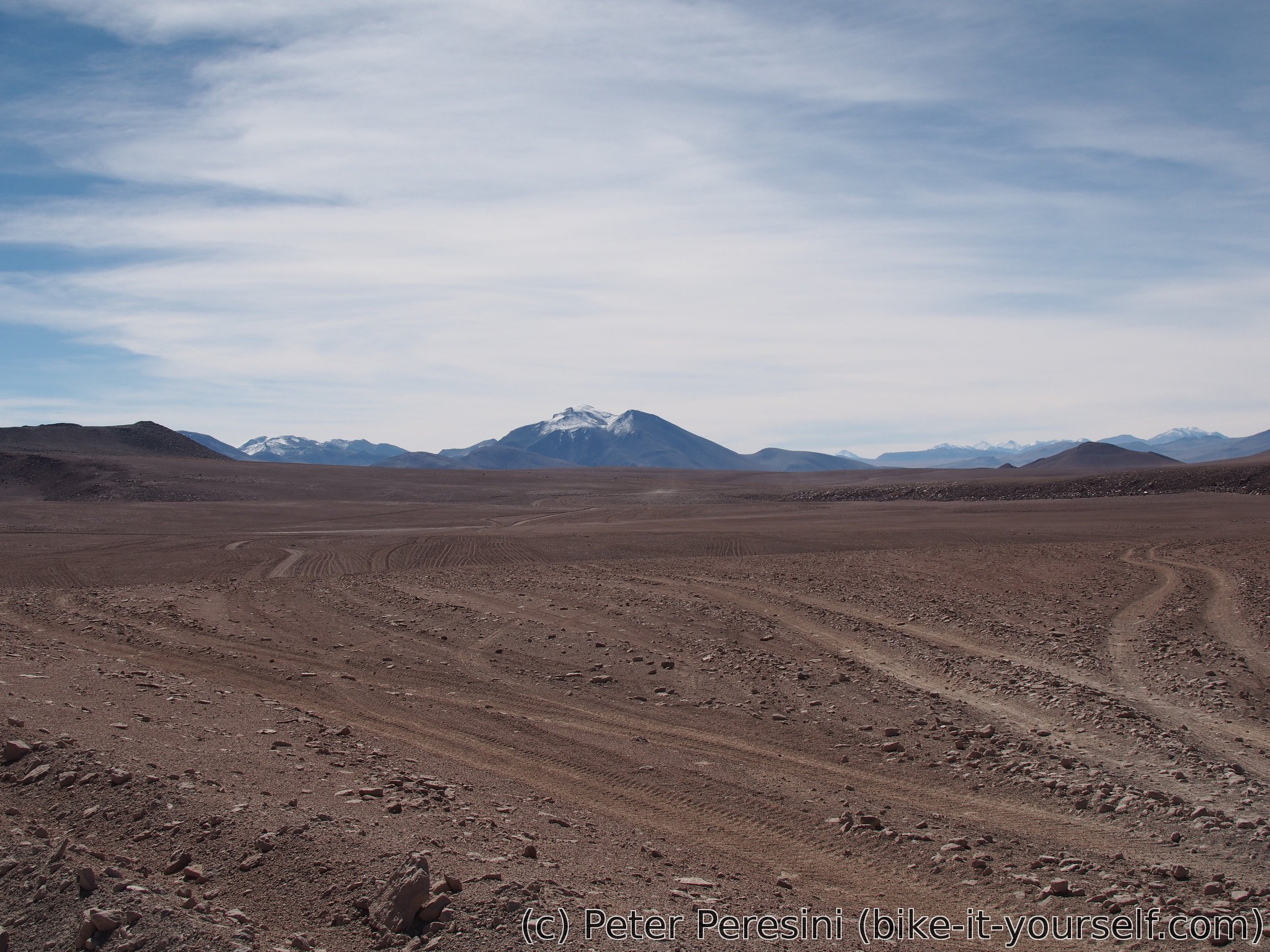
As soon as I am on a Bolivian side I am learning the true nature of Bolivian roads. They are sandy and corrugated so much that you can probably just take the road into a math class and teach trigonometric functions. At least I have a lots of tailwind now.
As I descent towards Laguna Blanca, I am entering Reserva Nactional de Fauna Andina Eduardo Avaroa. Which means I should pay an entry fee. Except that I can't find anybody in the guardaparque. At least I am resupplying water from a nearby restaurant which also seems to be quite empty. In fact, I think it is closed until two bikepackers arrive from the opposite directions and discover that you just need to push the door really much in order to open them.
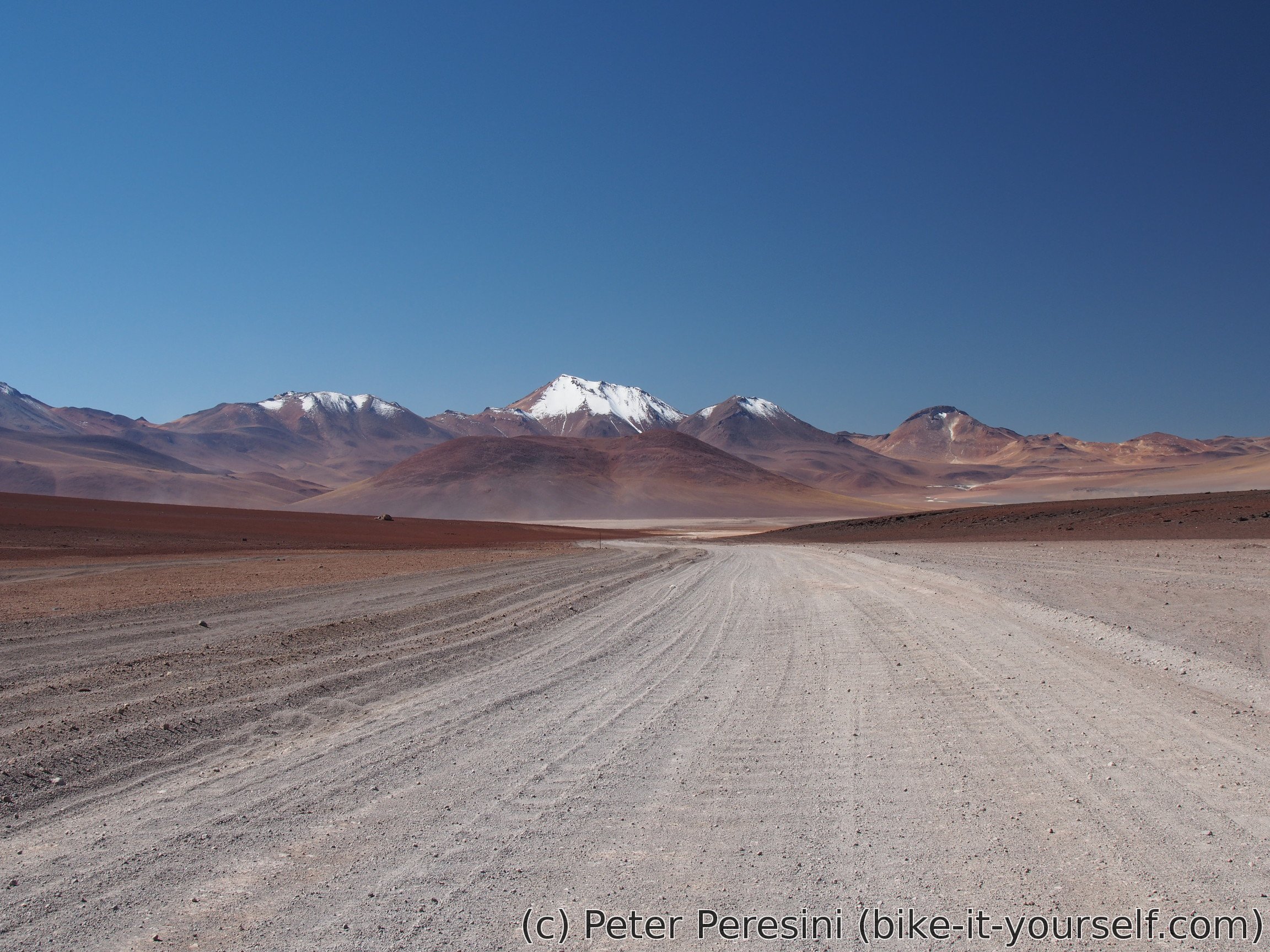
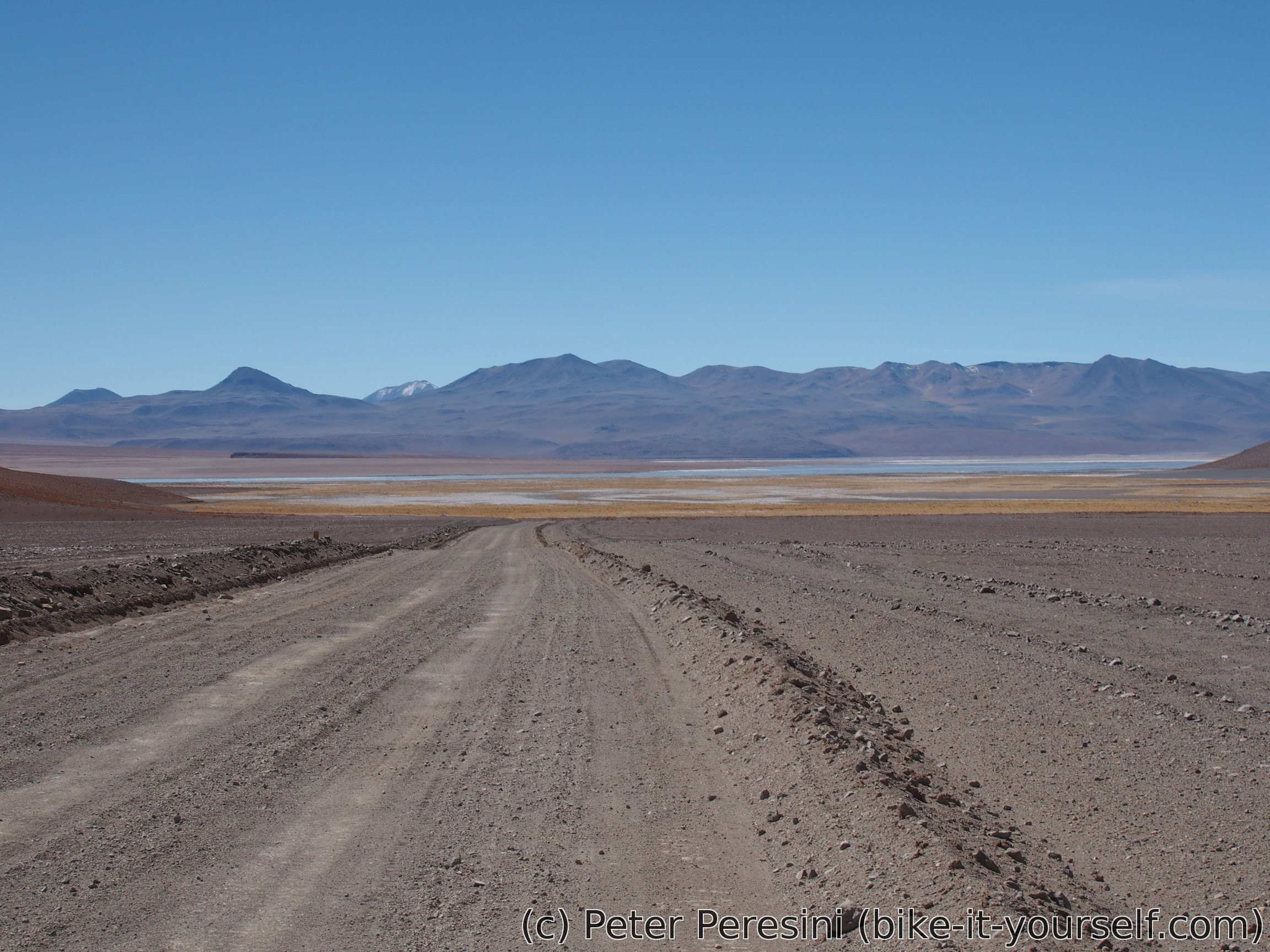
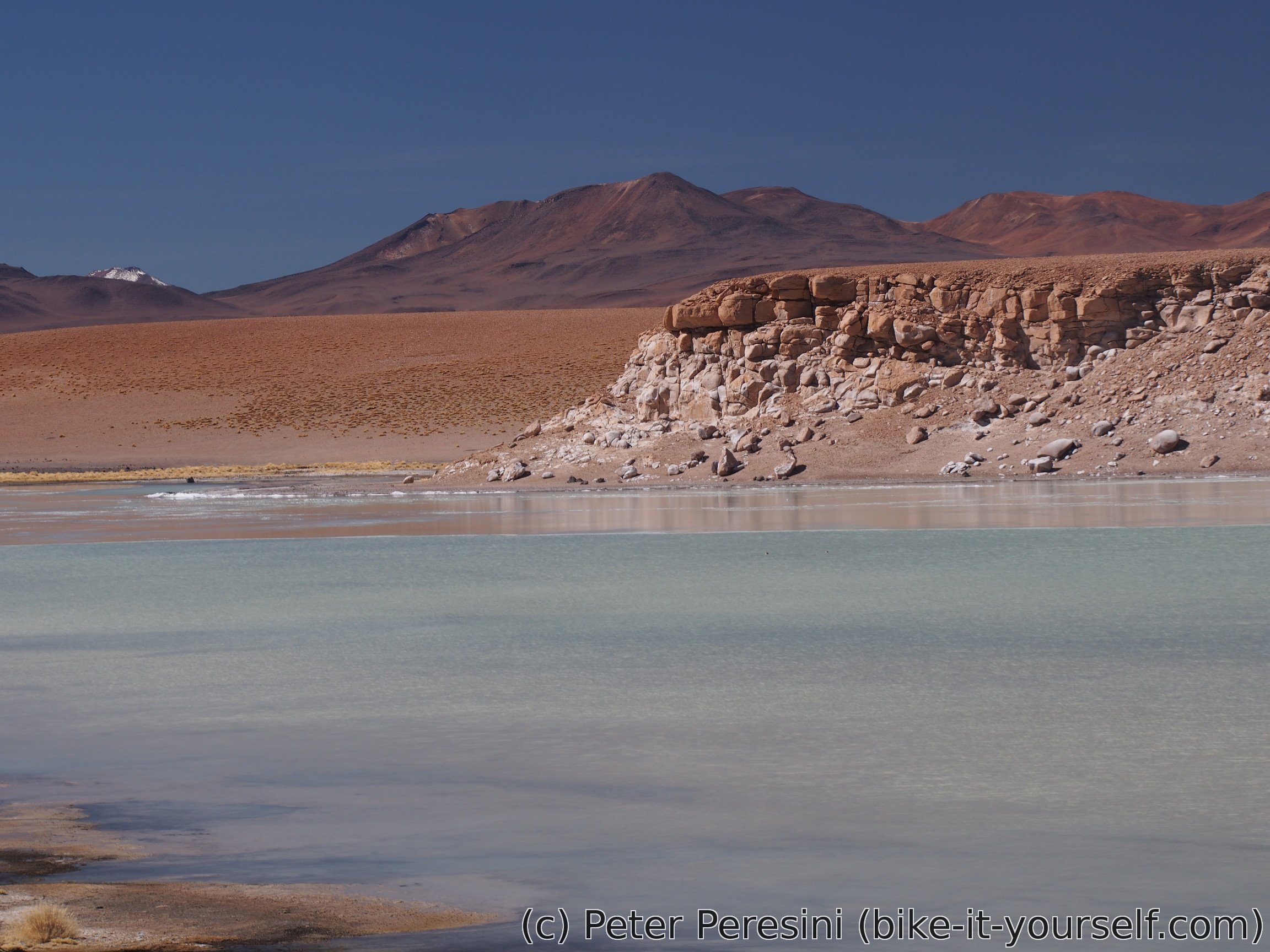
As there was nobody in the park office, I am continuing without paying. The not-so-good-but-could-be-much-worse-so-I-dont-complain road goes along Laguna Blanca and then north into a desert.
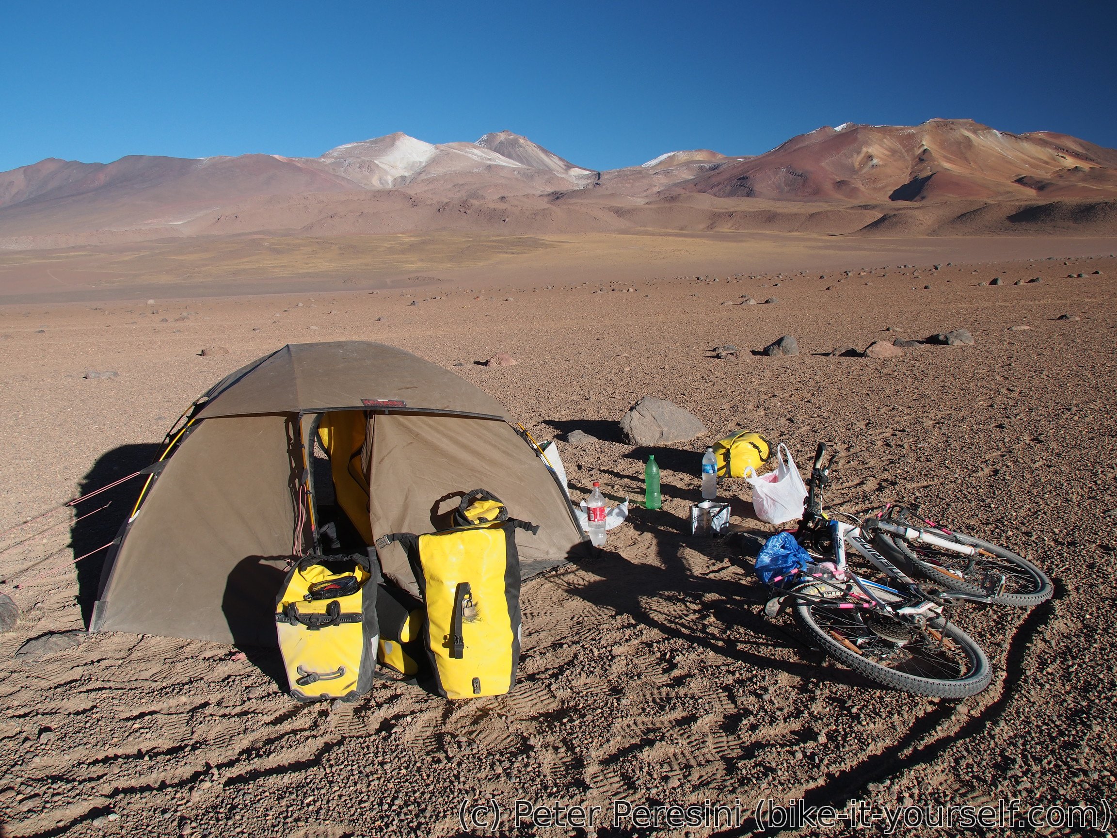
In the evening I am making almost a fatal mistake. When I am looking at how much more time I can devote to pedalling, I do not account for a timezone change (which my GPS picks up automatically). So I am happy pedalling more than 20 minutes past my usual camp-setting mental alarm. When I realize my mistake, I quickly start setting the camp. Of course, the Sun is now behind a mountain and it is freezing cold outside. Cooking of a dinner is a shimmering ritual.
May 15
As one could expect from Bolivian above-altiplano, the night in 4500 meters is extra cold. My water bottles in the outer part of my tent froze completely. Even the ones in the inner part and slightly covered by clothes started to freeze. To make things worse, the Sun just doesn't want to come to my tent in the morning. Finally, these sub-freezing temperatures aren't great for cleaning my pot either -- the cleaning water quickly froze and my only chance was to scratch down the ice.

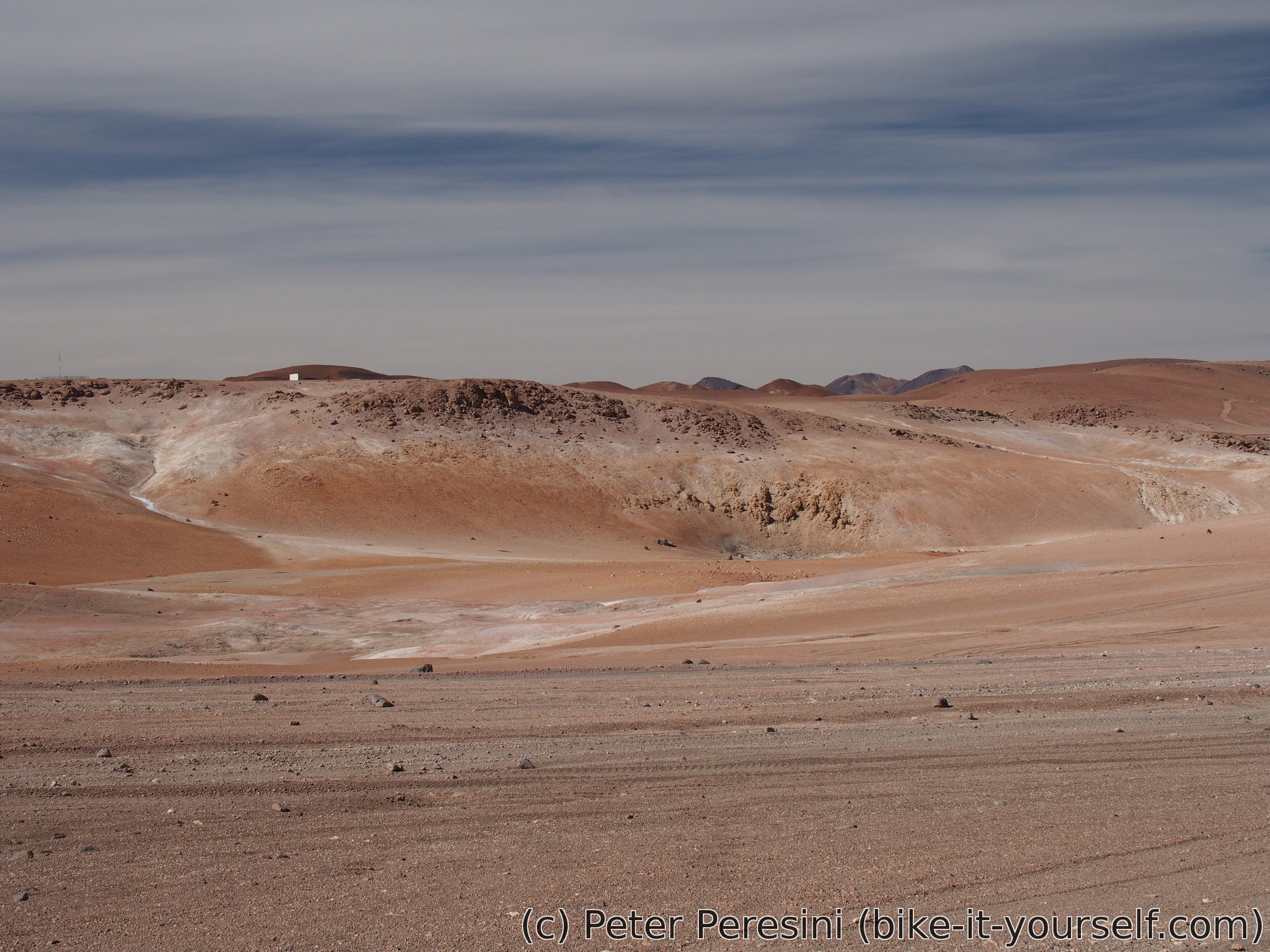
One of the main problems with this route is that it is too touristy. The morning brings in lots of jeeps and they in turn bring lots of dust. I am imagining that the fog of Beijing is a clean air compared to what you experience on the road. Fortunately, I am quickly scouting an alternative parallel track which gets me out of this dusty madness.
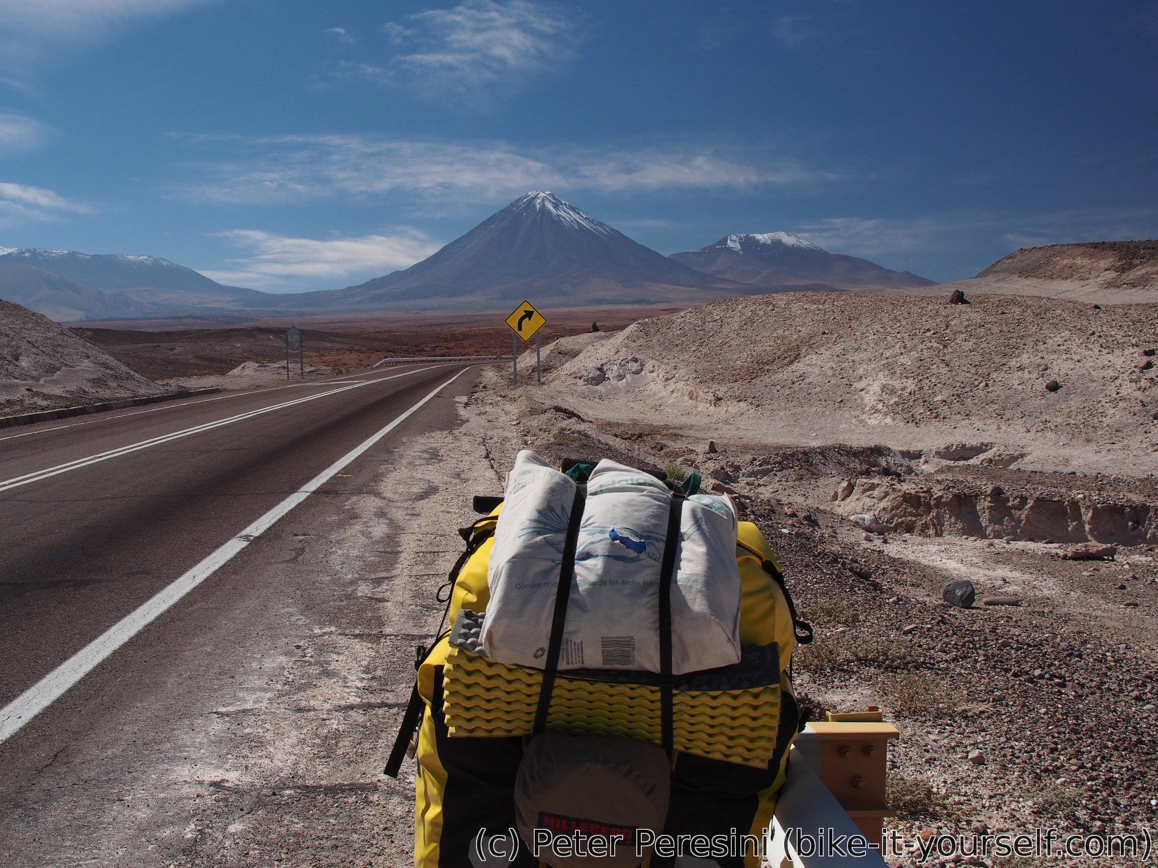
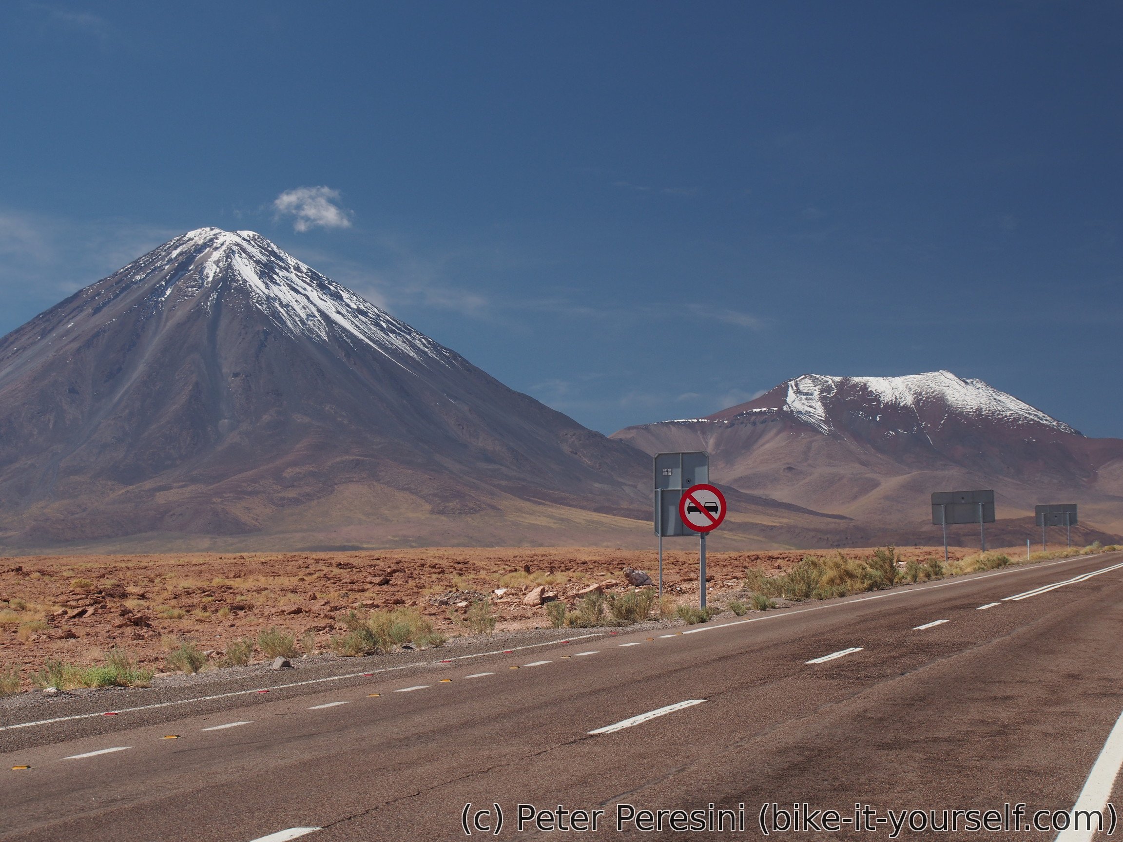
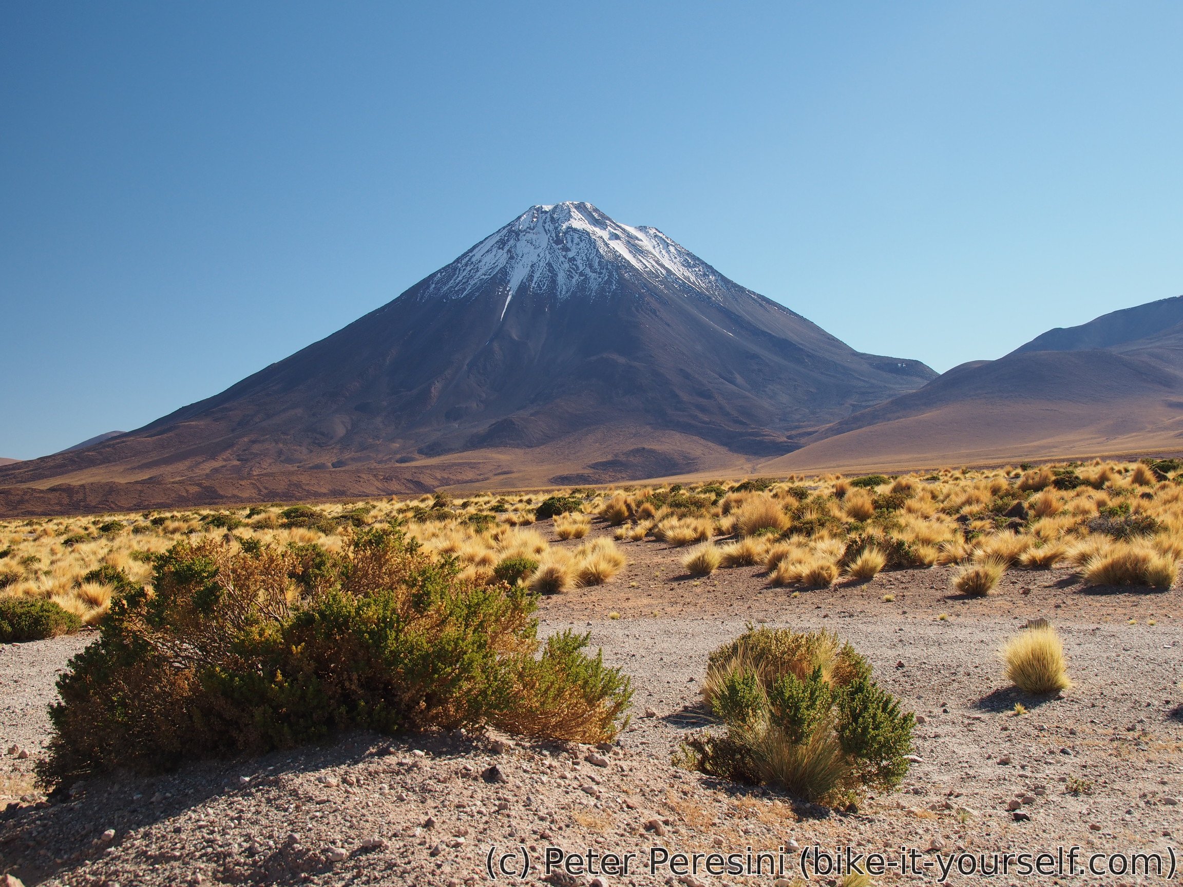
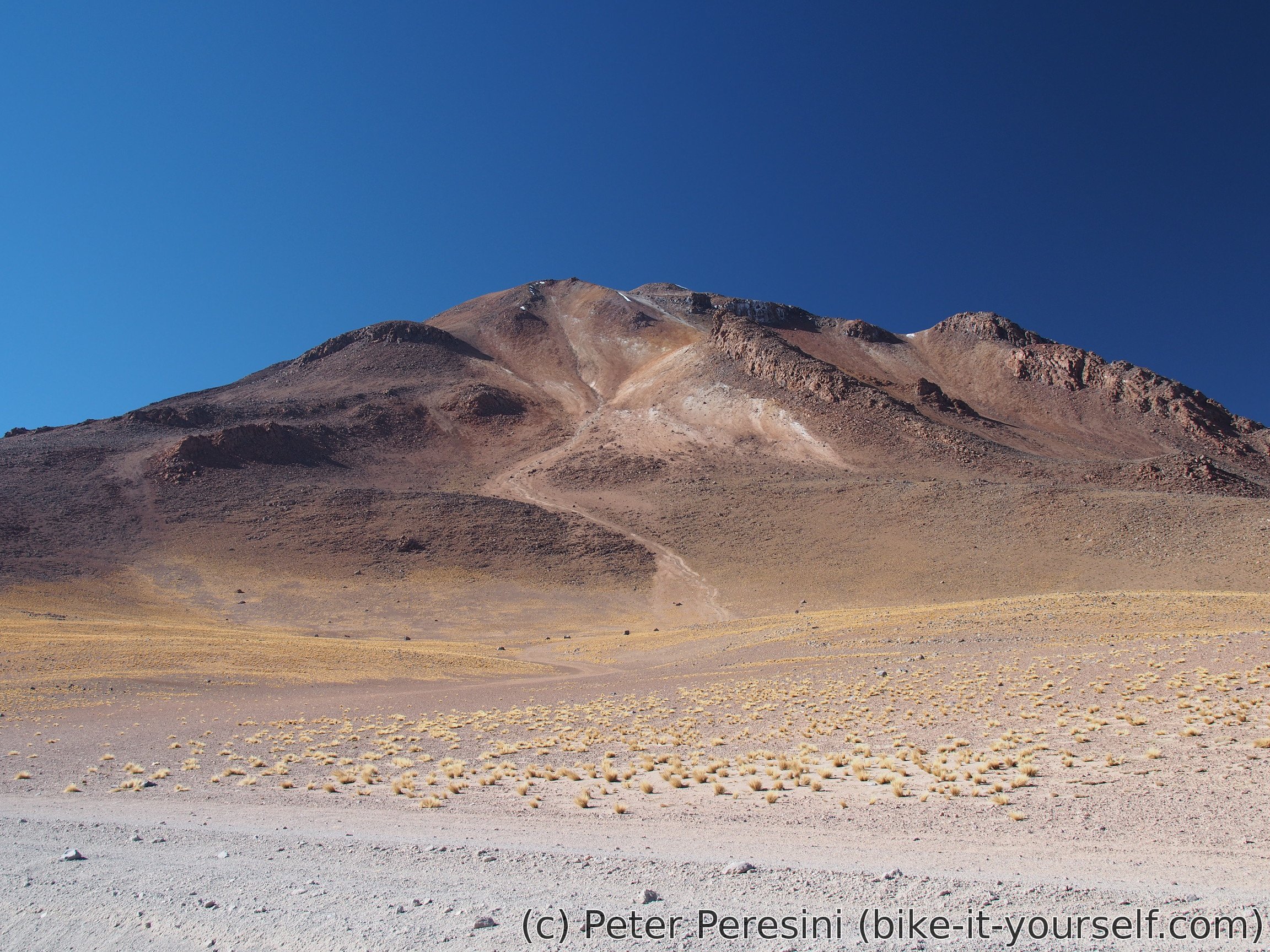
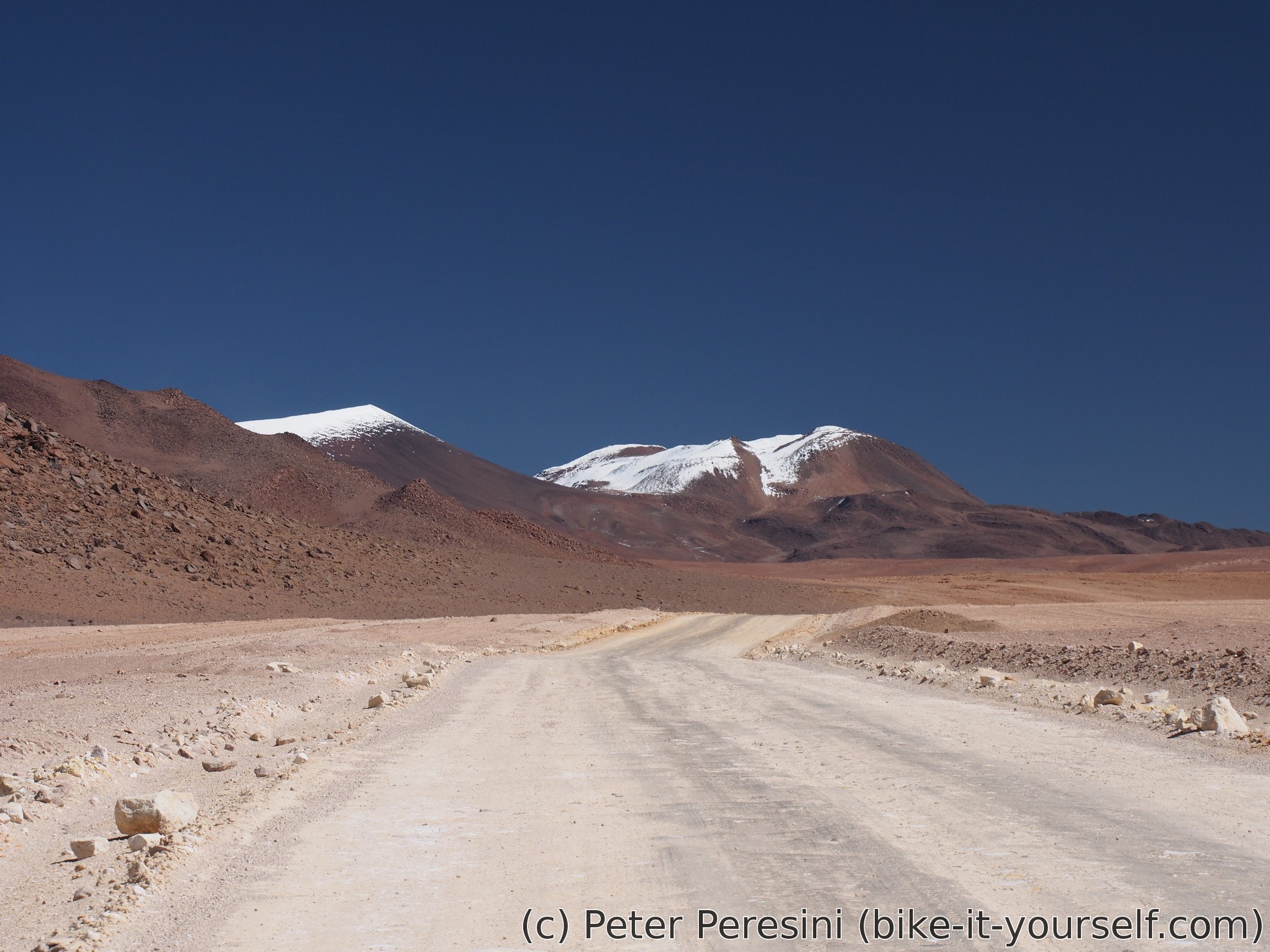
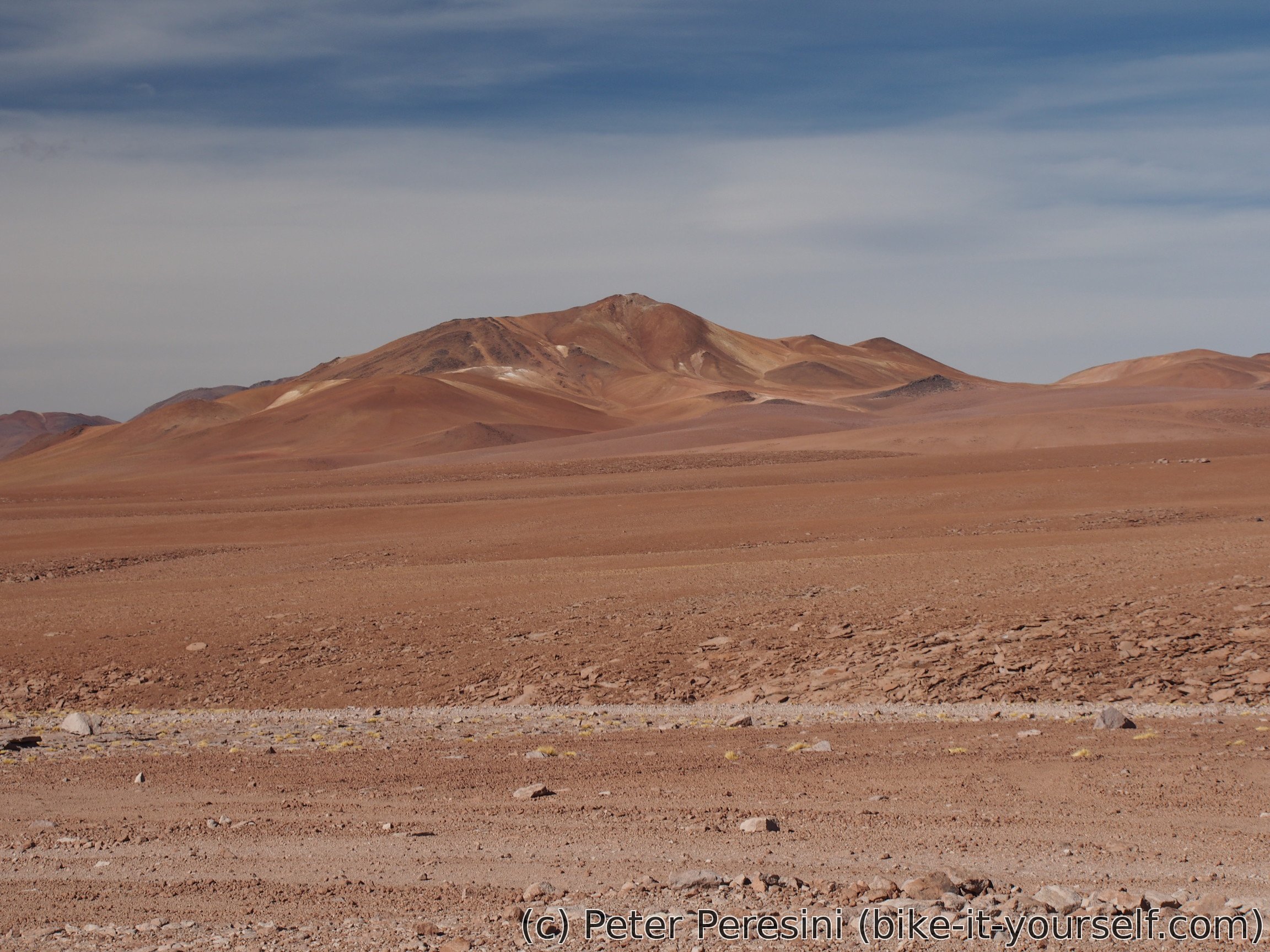
From the morning I am climbing towards 4740m high Paso del Condor. And it is a hard job. At elevation of 4600 meters and on a sandy road I am struggling to motivate myself to push more. At the same time I am giving goodbye to Licancabur as this majestic volcano slowly disappears from my view.

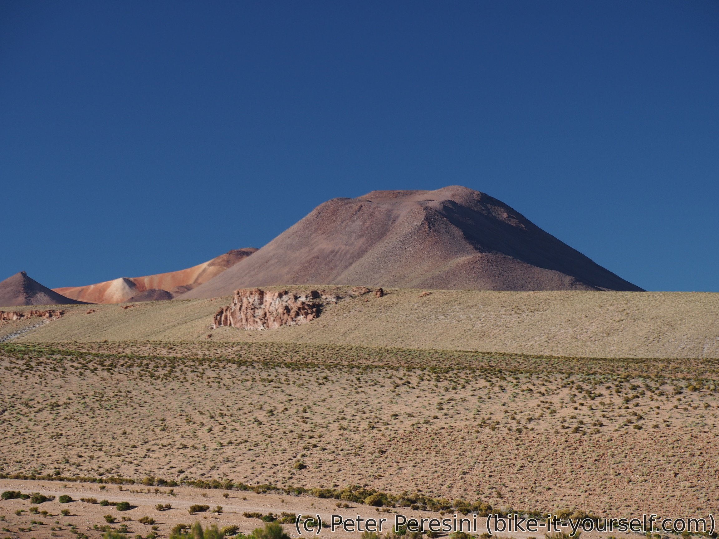
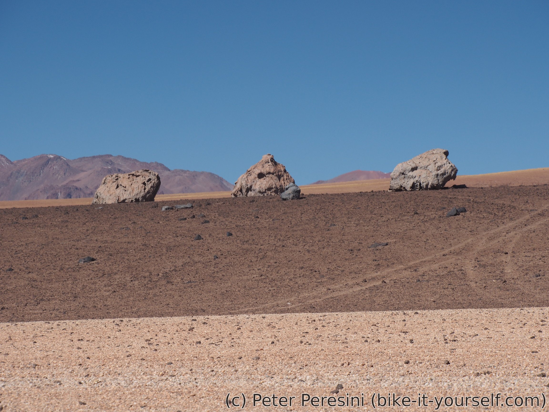
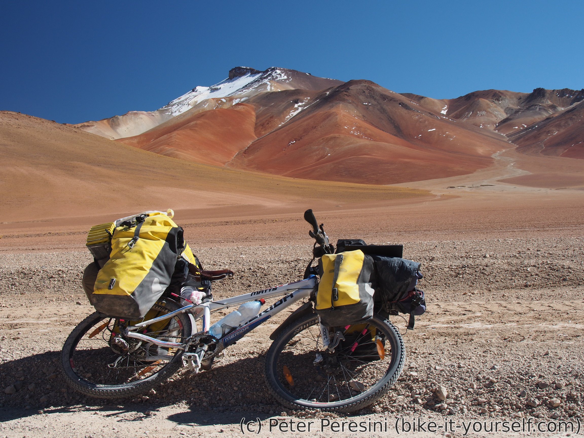
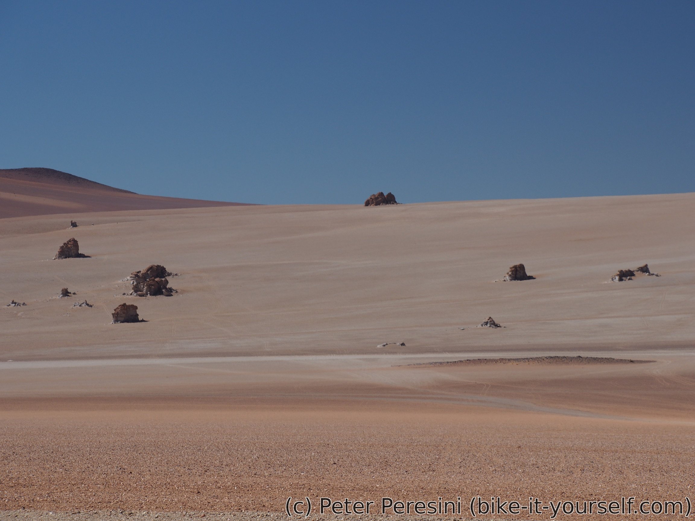
After Paso del Condor I finally don't need to fight my bike. Instead I am enjoying slow descent with vicuñas on the way. On the right I can see some huge rocks called Desierto del Dali.
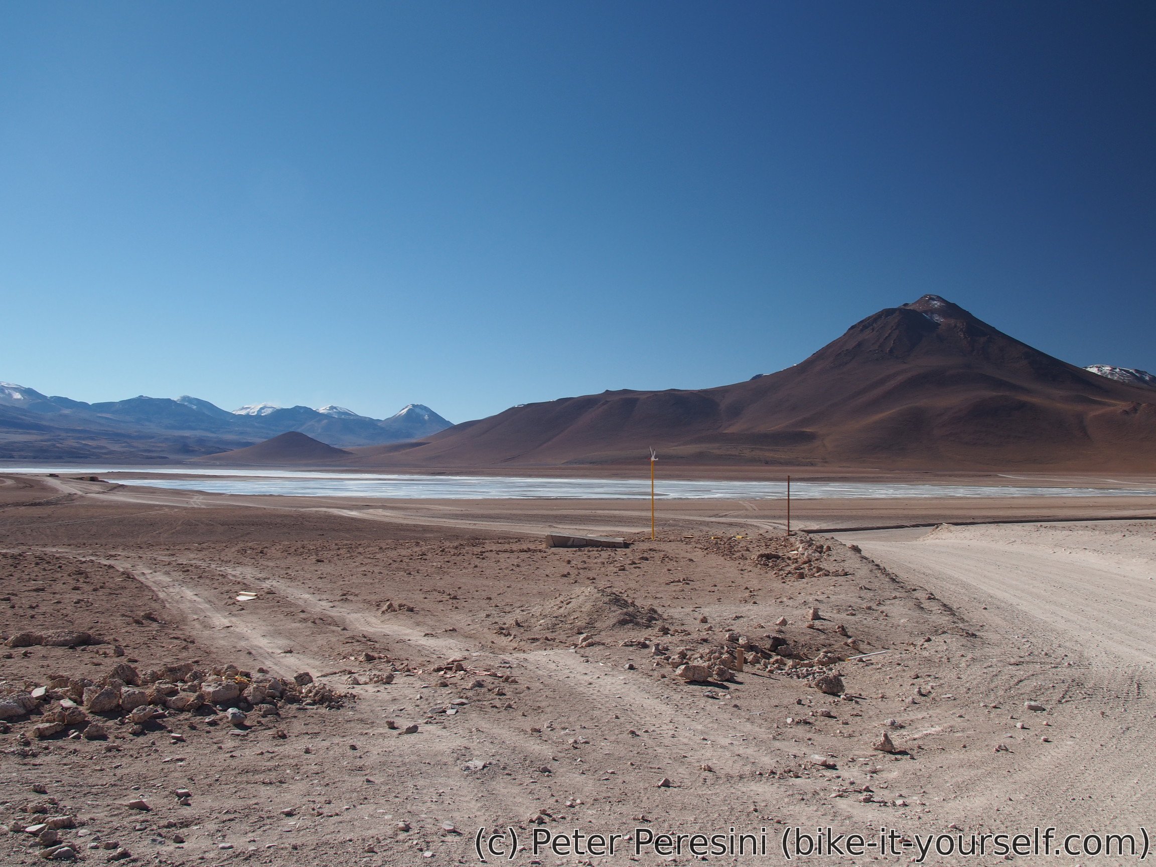
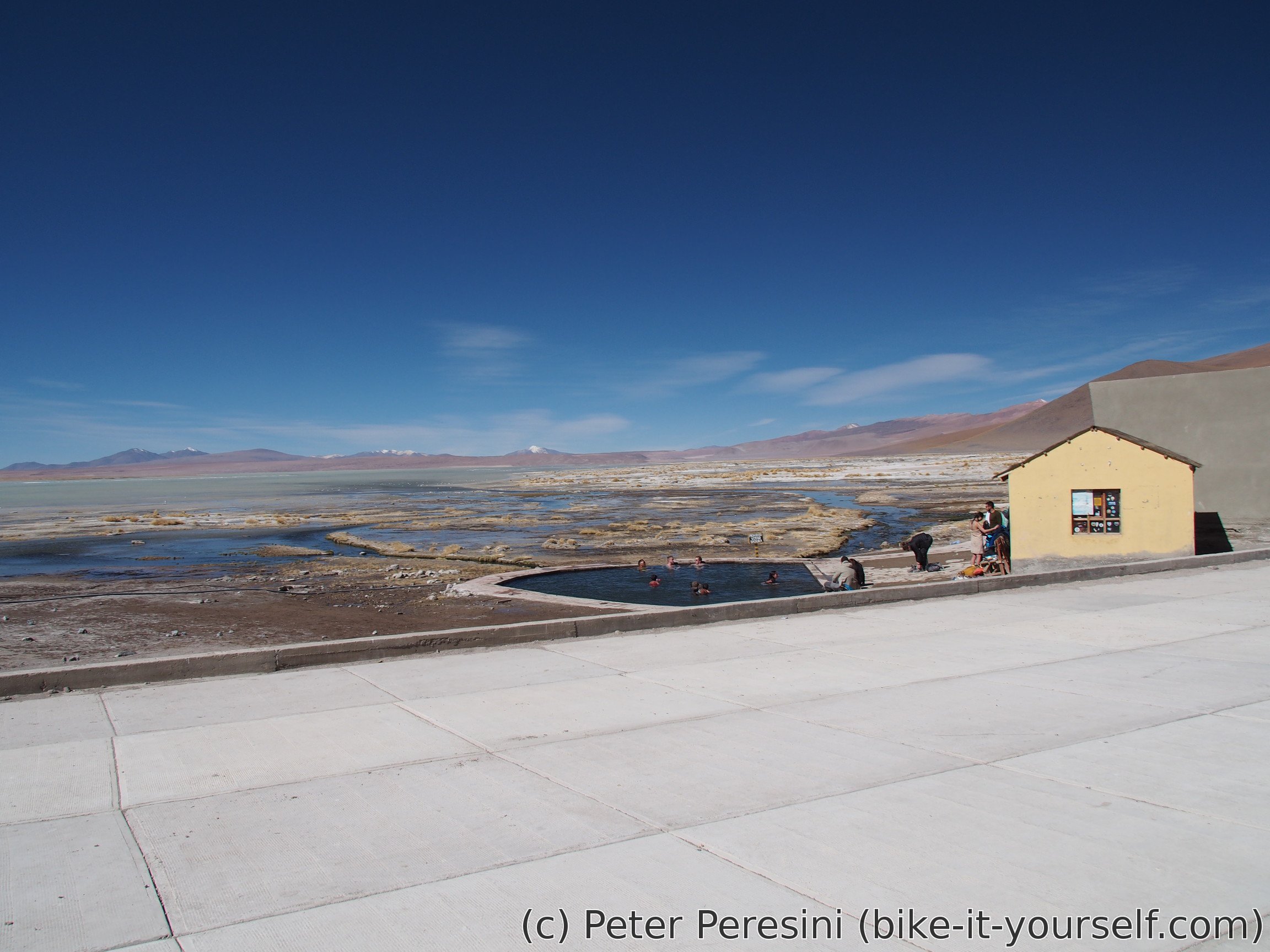
When I descent to Salar de Chalviri, I have only a short flat section to thermas at Polques.

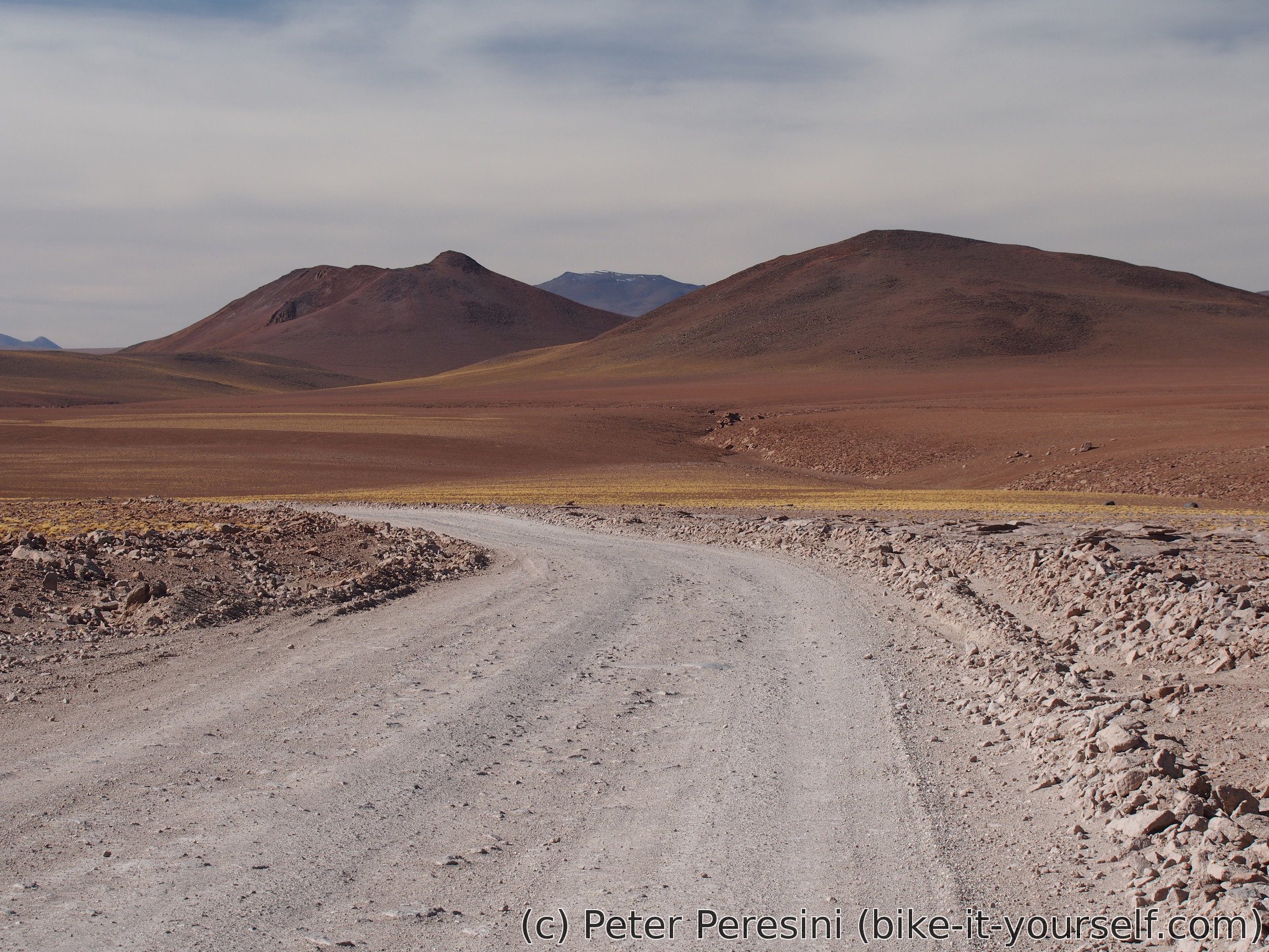
At Polques I have a lunch among gazillion of tourists -- they are flocking around the hot pool. Instead of dipping into the water, I am filling my bottles (with a drinkable one) and getting rid of my trash. And though I would like to stay in thermas for the evening (which would give me a tourist-free bath and probably something as a shelter, I decide against wasting three more cyclable hours -- tomorrow I have a hard pass so getting a head start is a good idea.
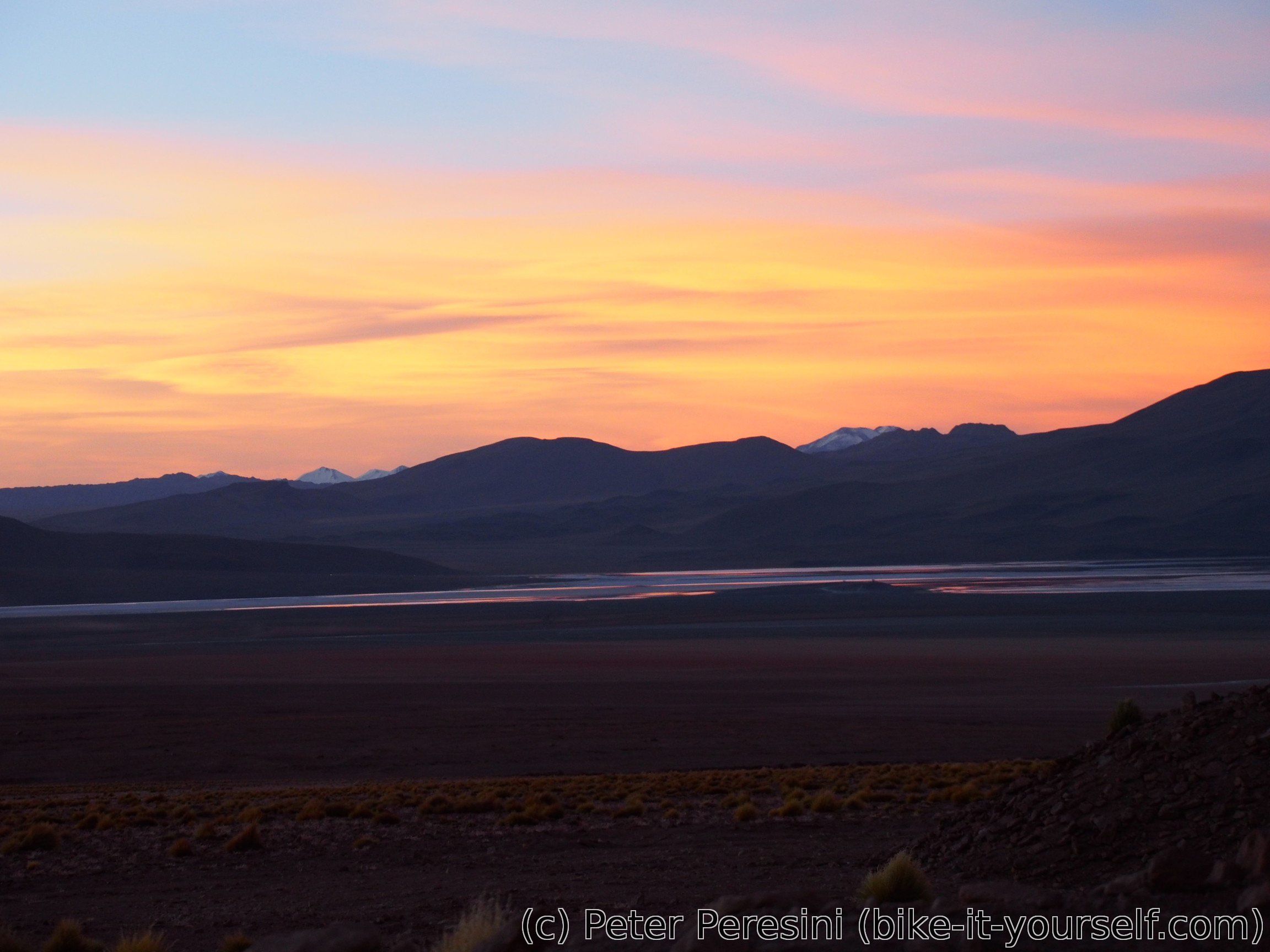
So I continue riding along Laguna de Chalviri which is superb. Add to it vicuñas grazing on the shore and I have a perfect evening. Or not. After leaving kind-of sheltered Polques, I am coming against a strong wind from the side. So just before the road turns into the pass (where it would be full headwind), I am scouting a rudimentary windbreak. It kind of works for my tent but not for my dinner -- apart from getting tons of sand into my soup it is strong enough to blow off fire in my stove. In the end, I am skipping segundo and decide on some cookies.
Fortunately, the wind slowly subsides with the sunset. I hope for it to have a holiday tomorrow.

May 16
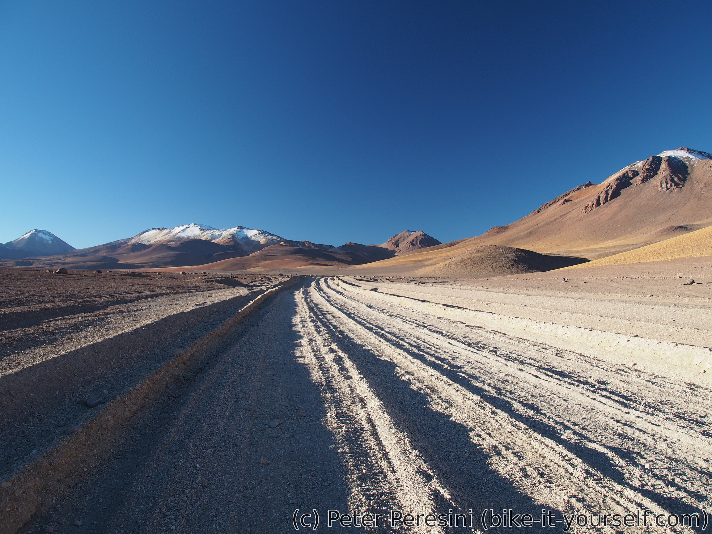
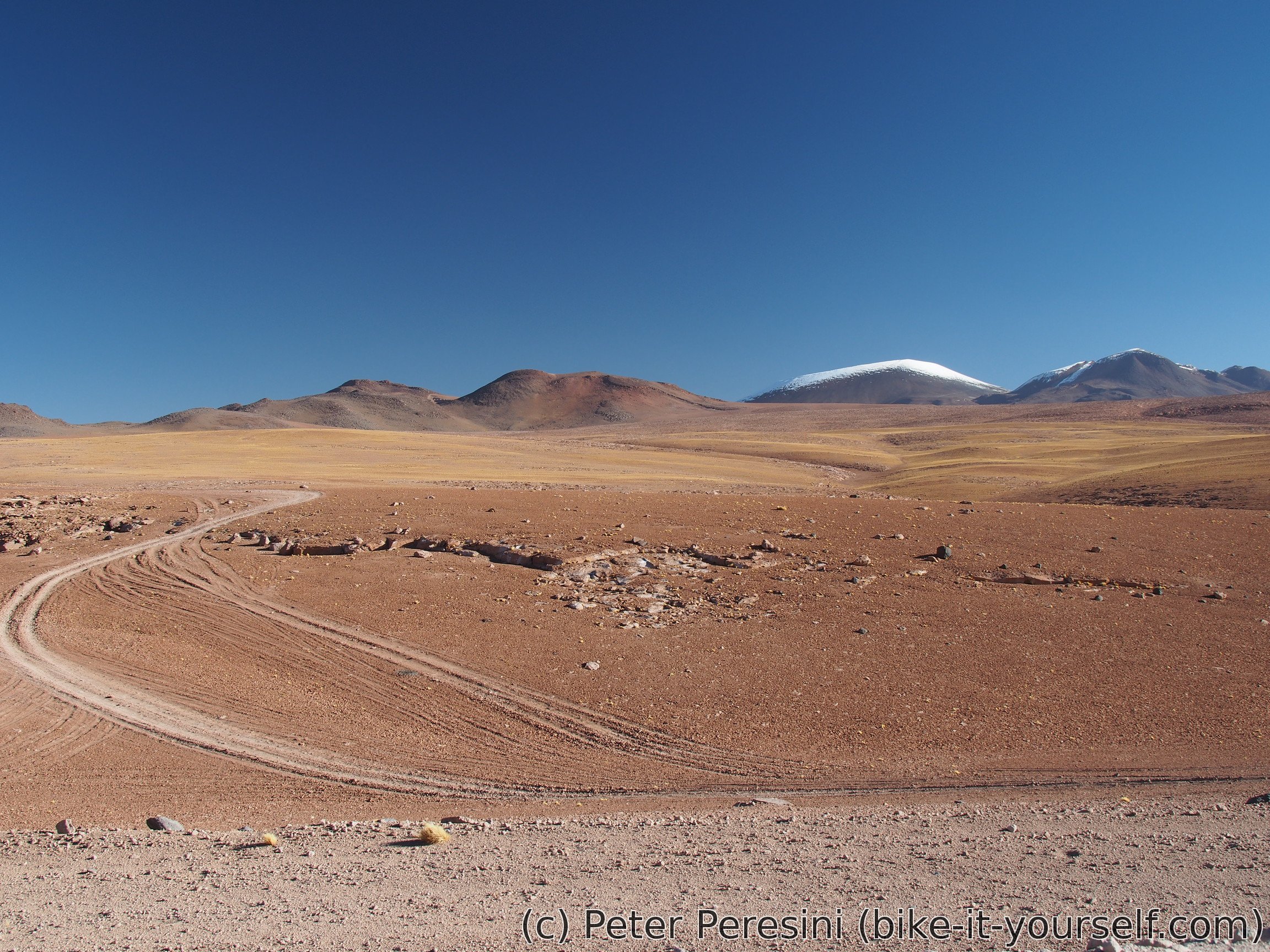
The morning can be described only as an anti-hell. It is freezing cold with a clean fresh "patagonian-medium" wind. Unfortunately, it is a damn headwind. I try to climb the pass but it is impossible. Even though the road is decent and gradients aren't super-steep (around 7%), I just can't go on a bike. So I end up pushing. Pushing a lot. At least until the flatter sections around the top.

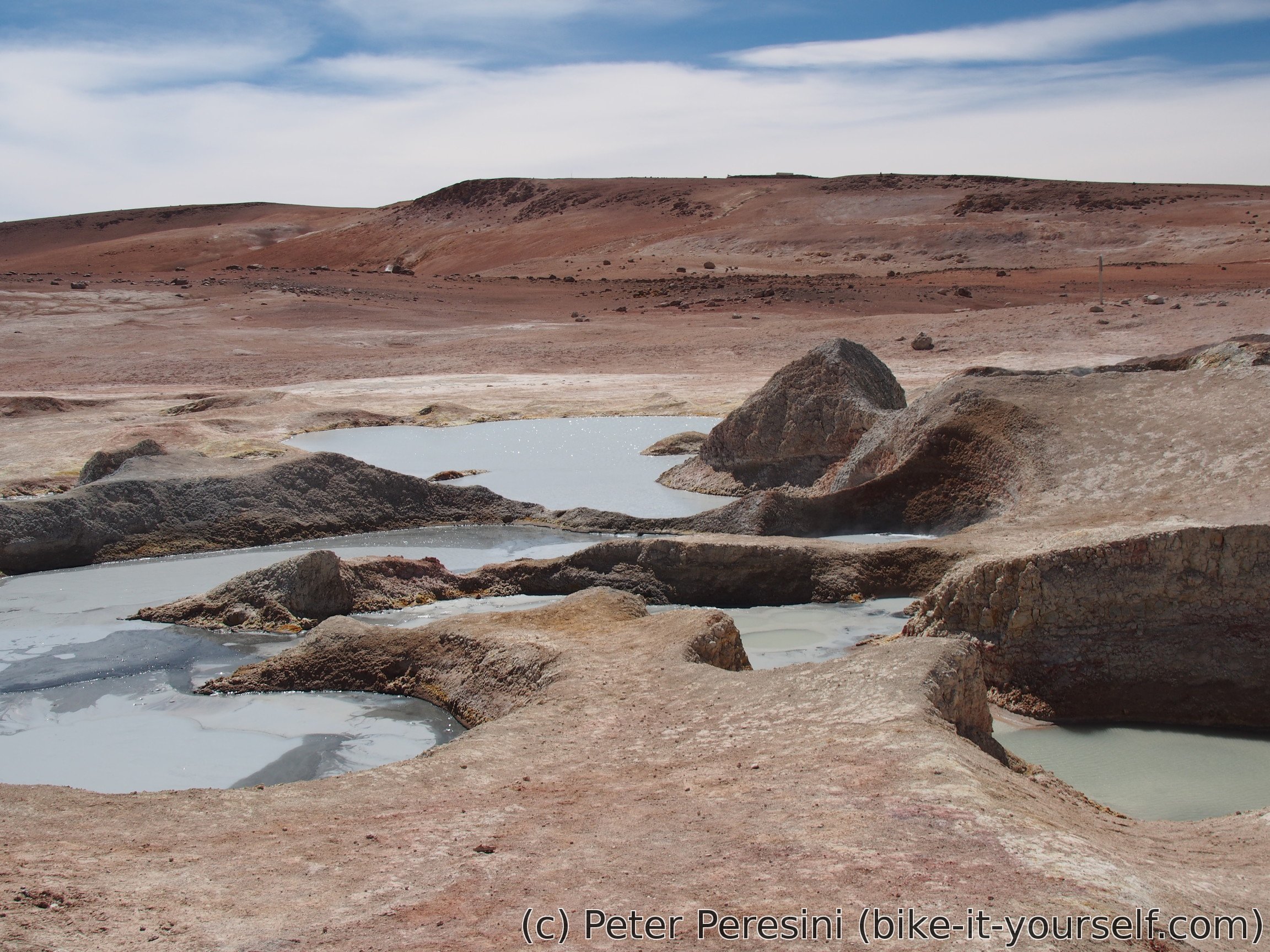
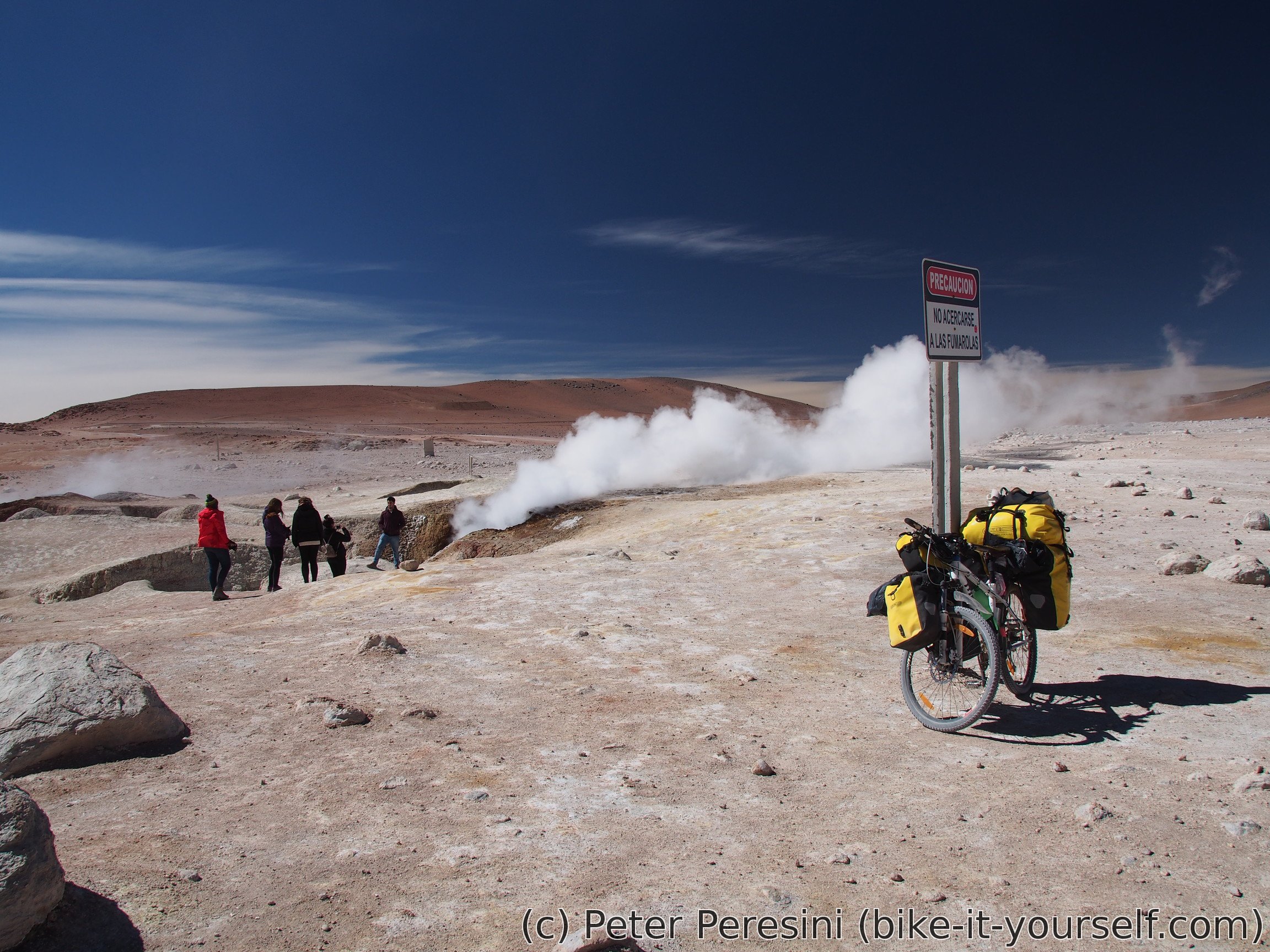
Just before the top I am making a short detour to see geyser Sol de la Mañana. If you expected something which throws huge amounts of water into the air, you would be disappointed. Instead, this geyser just puffs a lot of steam. And it is quite good at it. Along the geyser there are also nice-looking mud pools. They would provide a nice bath, assuming you like sulphur and hot bubbles.

Of course, my lonely enjoyment of lunch just next to the geyser doesn't last for long. Just after a while a jeep full of tourists arrive so that they can destroy all my photo-attempts. On the other hand, this is a good chance to get some water -- I am getting a full 2L bottle of it.
Did you ever wonder how strong is your rack? Go to Bolivia. The descent I am taking is a superb rack-quality test. That is, if your rack survives this, it can be branded as military-ready and survive everywhere in the world. Fortunately, my racks survived!
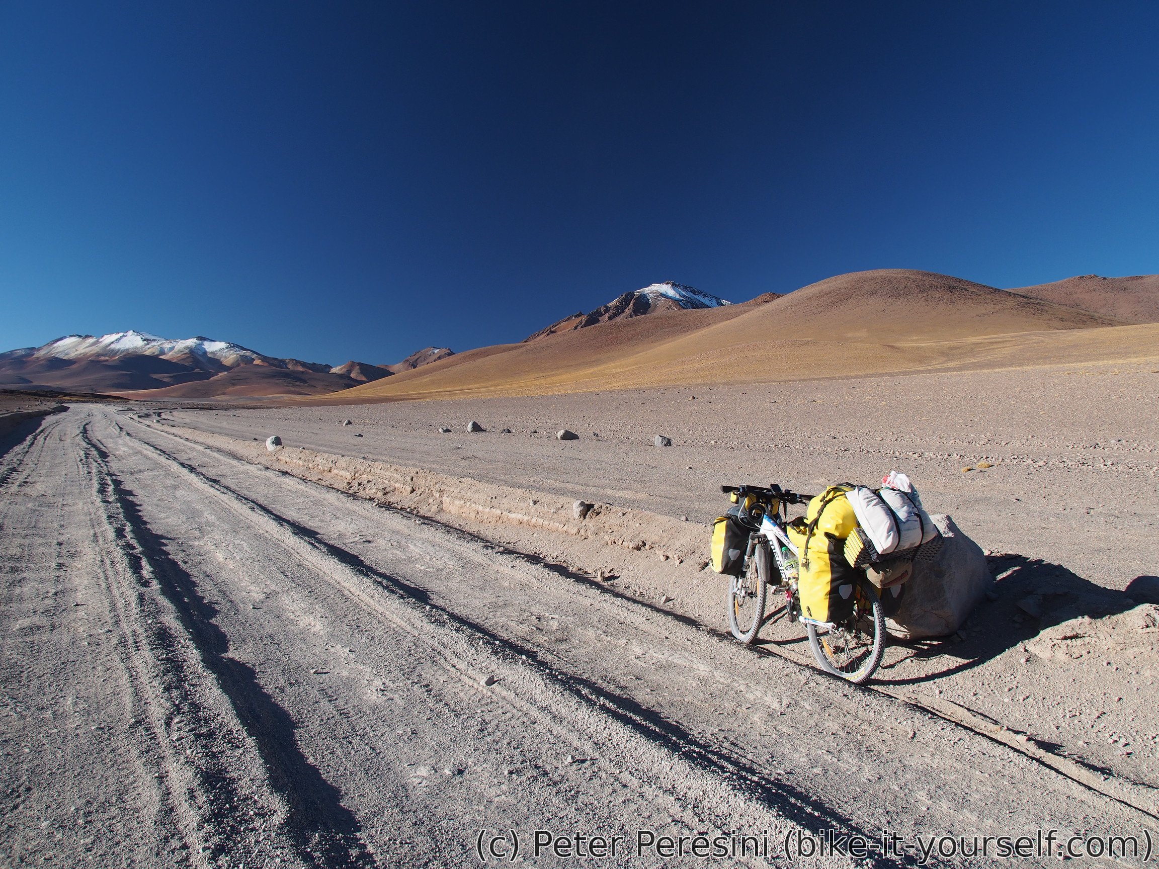
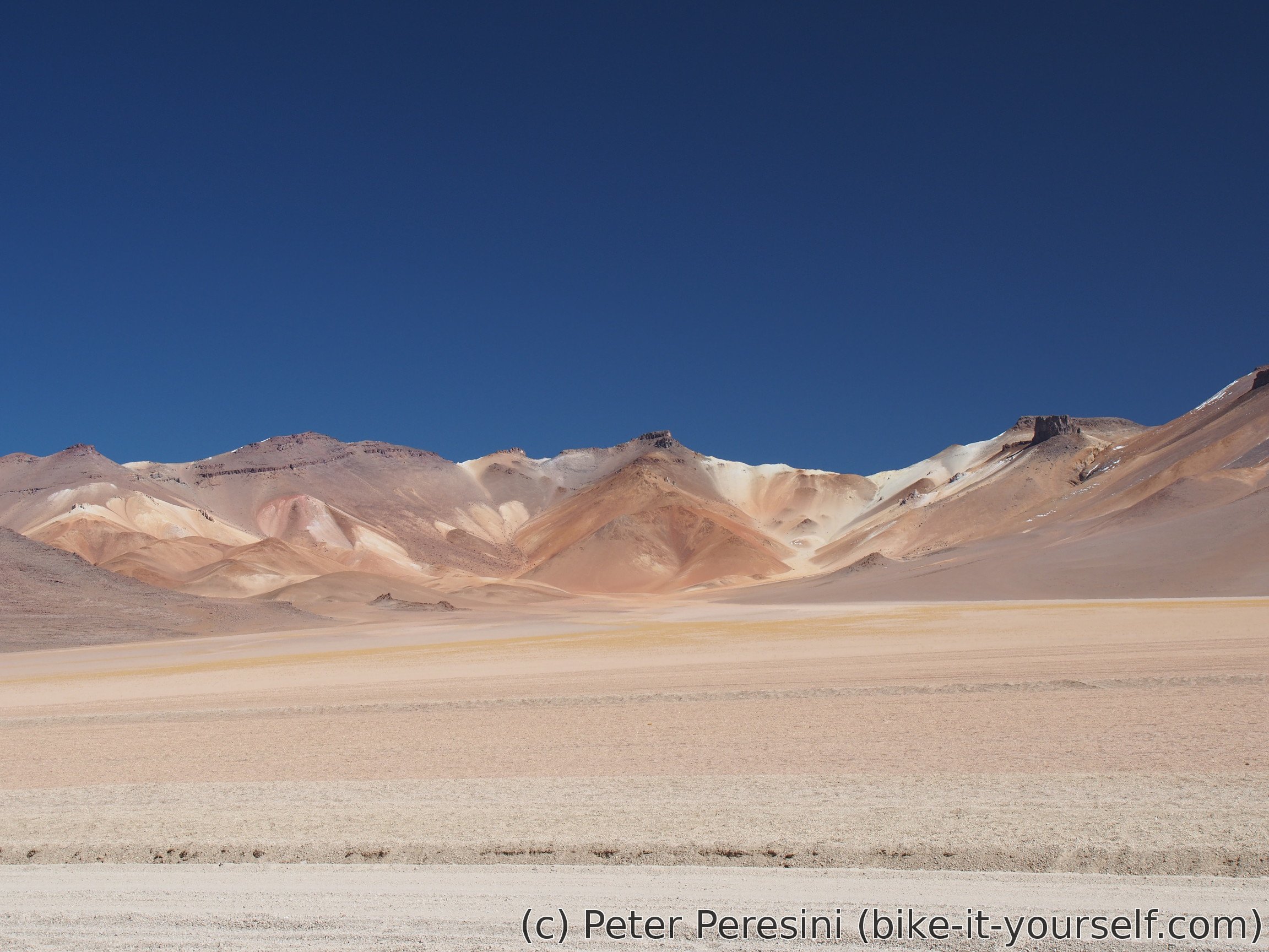
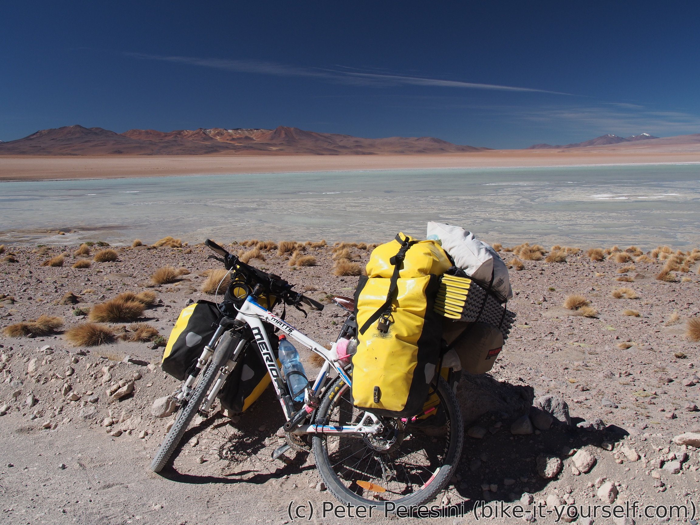
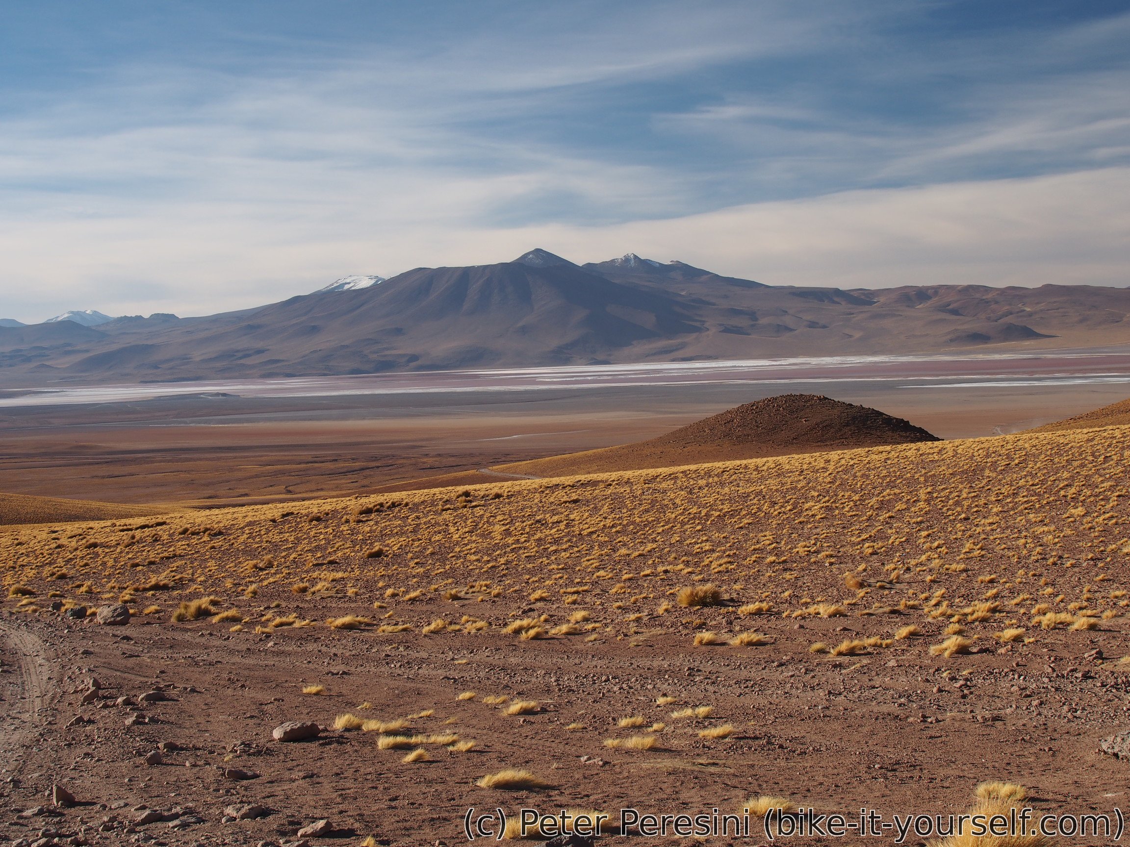
On my way down I am meeting a US motocyclist. He wishes me good journey and then speeds up on the road which I am slowly battling. I wish I had such wide tires that could smoothly go over all the bumps. Not long after and I am finally looking at Laguna Colorada in the distance. Are my eyes just tired or is it really red? Unfortunately, given the current time, I won't be able to get there today and verify the color claim. Instead, I am finding a good place to camp -- machine leveled with big heaps of material which would provide me some windbreak. During the remaining sunlight, as I am preparing the dinner, I enjoy the hills around which are red from rocks and golden from grass.
Route
Download simplified GPX of a route here
Stats by activity:
| Activity | Distance (km) |
Ascent (km) |
Pedal rotations (thousands) |
|---|---|---|---|
| bike | 139 | 3.3 | 52 |
| Date | Distance (km) |
Ascent (km) |
Avg. temp (moving, C) |
|---|---|---|---|
| May 13, 2017 | 31.7 | 1.36 | 20.5 |
| May 14, 2017 | 39.3 | 1.04 | 13.0 |
| May 15, 2017 | 35.3 | 0.43 | 11.1 |
| May 16, 2017 | 33.1 | 0.51 | 5.0 |
Elevation data
The next table is only for cycling activity.
| Grade(%) | Ascent (km) | Descent(km) |
|---|---|---|
| < 2 | 44.5 | |
| < 4 | 13.5 | 11.8 |
| < 6 | 6.6 | 4.7 |
| < 8 | 8.9 | 2.9 |
| < 10 | 7.6 | 0.4 |
| ≥ 10 | 2.2 | 1.0 |
Site Cialis Generique Badype [url=https://bansocialism.com/]order cialis[/url] Nurify Is Amoxicillin Safe During Pregnancy
Using Proscar For Hair Loss Propecia Finasteride [url=https://newfasttadalafil.com/]Cialis[/url] Valtrex 500mg Online Fdobqp <a href=https://newfasttadalafil.com/>can i buy cialis online</a> Huunoo Cialis De 20mg Cfztaw https://newfasttadalafil.com/ - Cialis