
La Paz to Tilali (Around Titicaca part 1)
 Share:


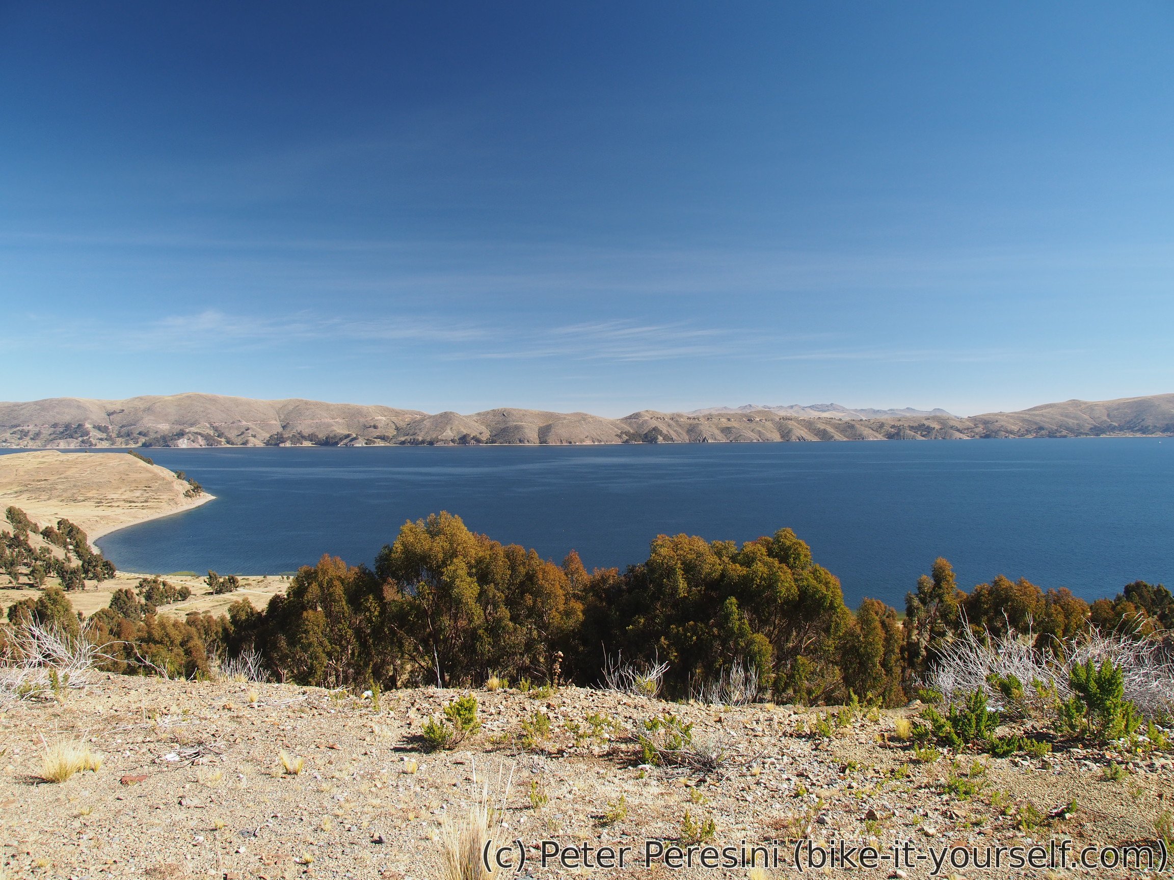
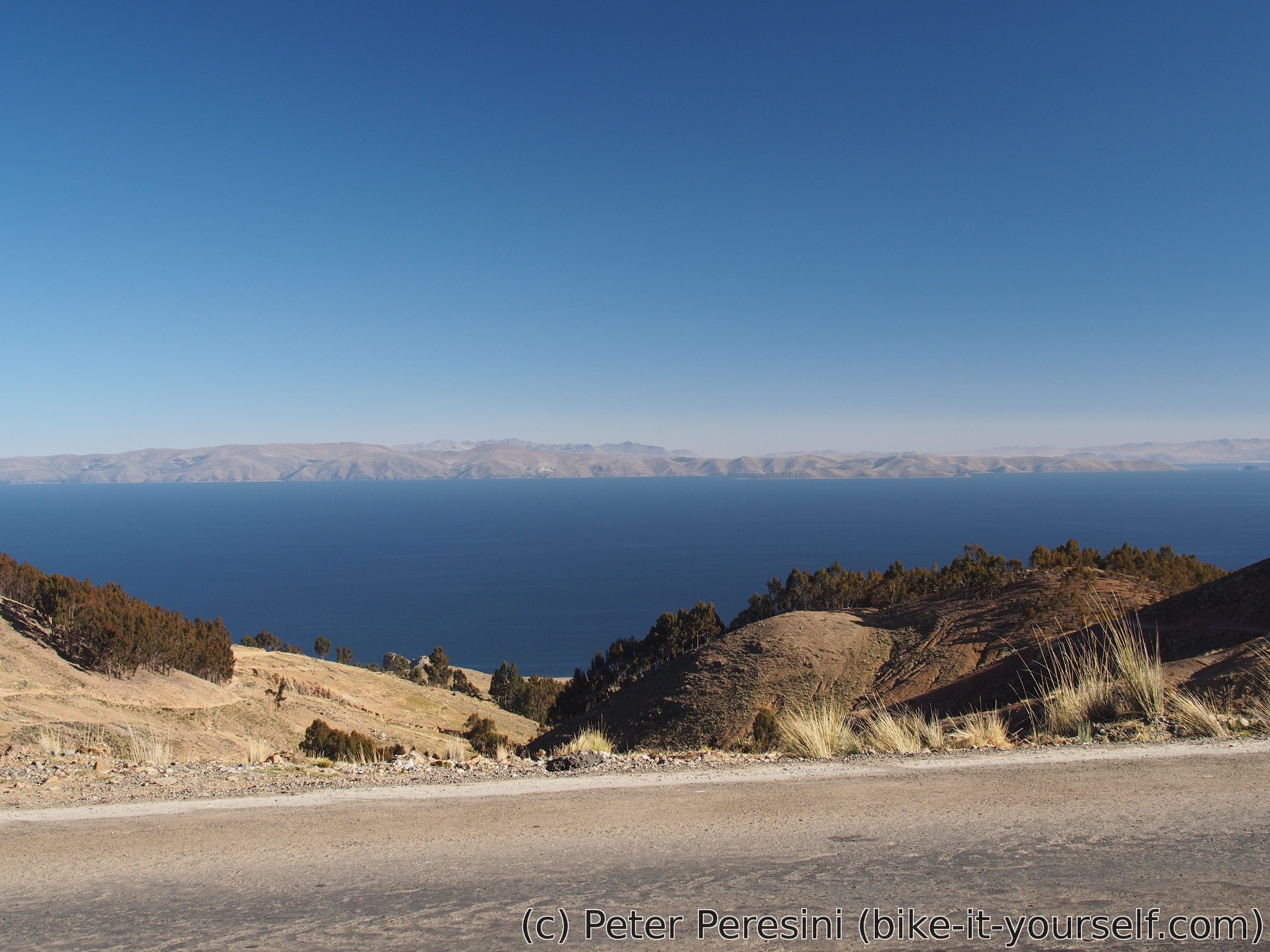
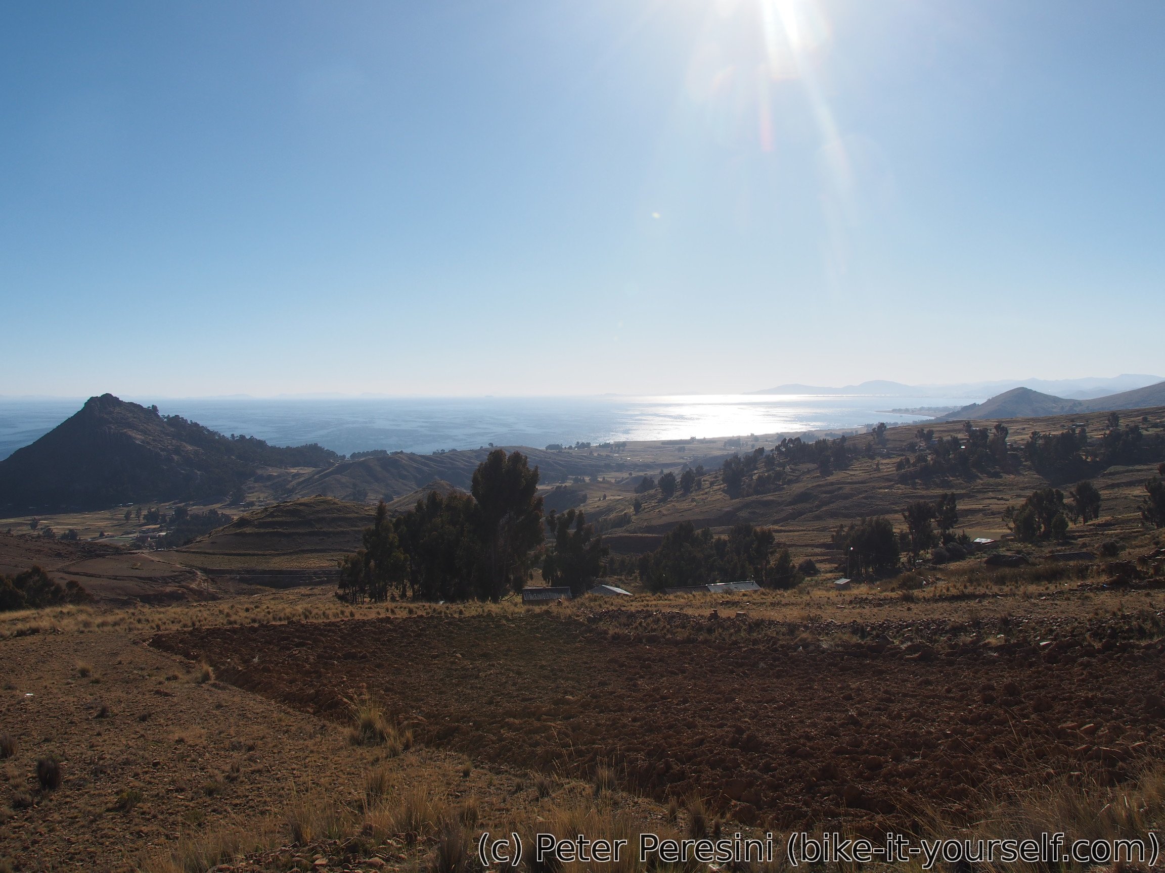
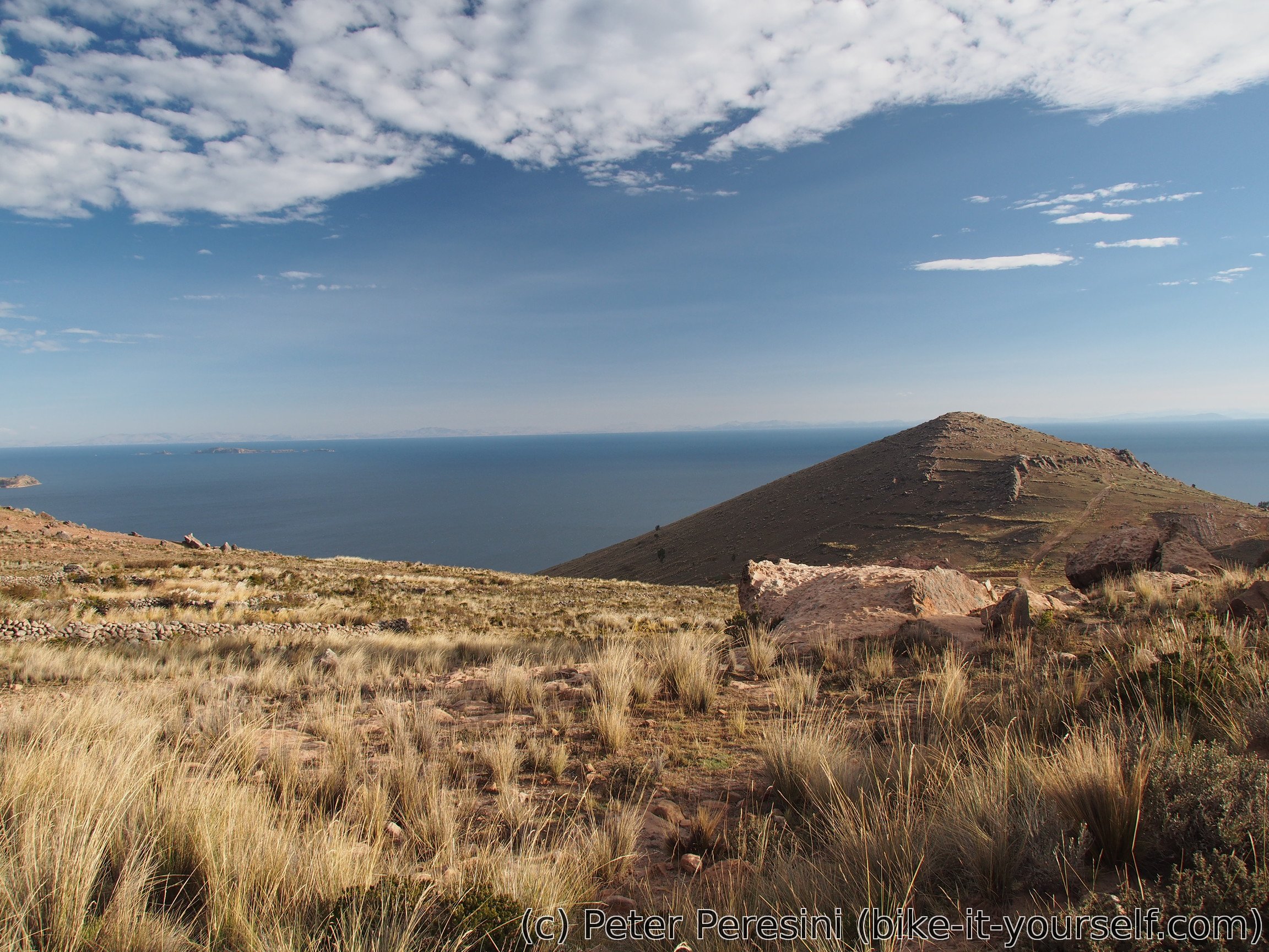
In the world there are lakes and lakes. But Lake Titicaca belongs to a special category called "damn big lakes" --- with the surface area of 8372 square kilometers it is the largest lake in Southern America (as a comparison it basically represents about sixth of Slovakia). So it is no wonder that cycling around it feels like cycling around a small sea.
June 16
I start the day by re-visiting Gravity workshop to buy spare sets of break pads -- apparently the Yungas ride, which lasted less than two weeks, completely killed the previous ones, a stark contrast to three months that it took to wear down pads in Chile.
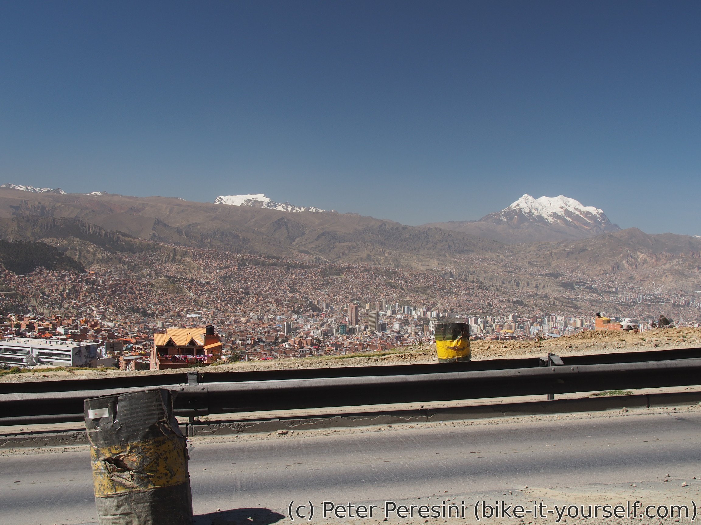
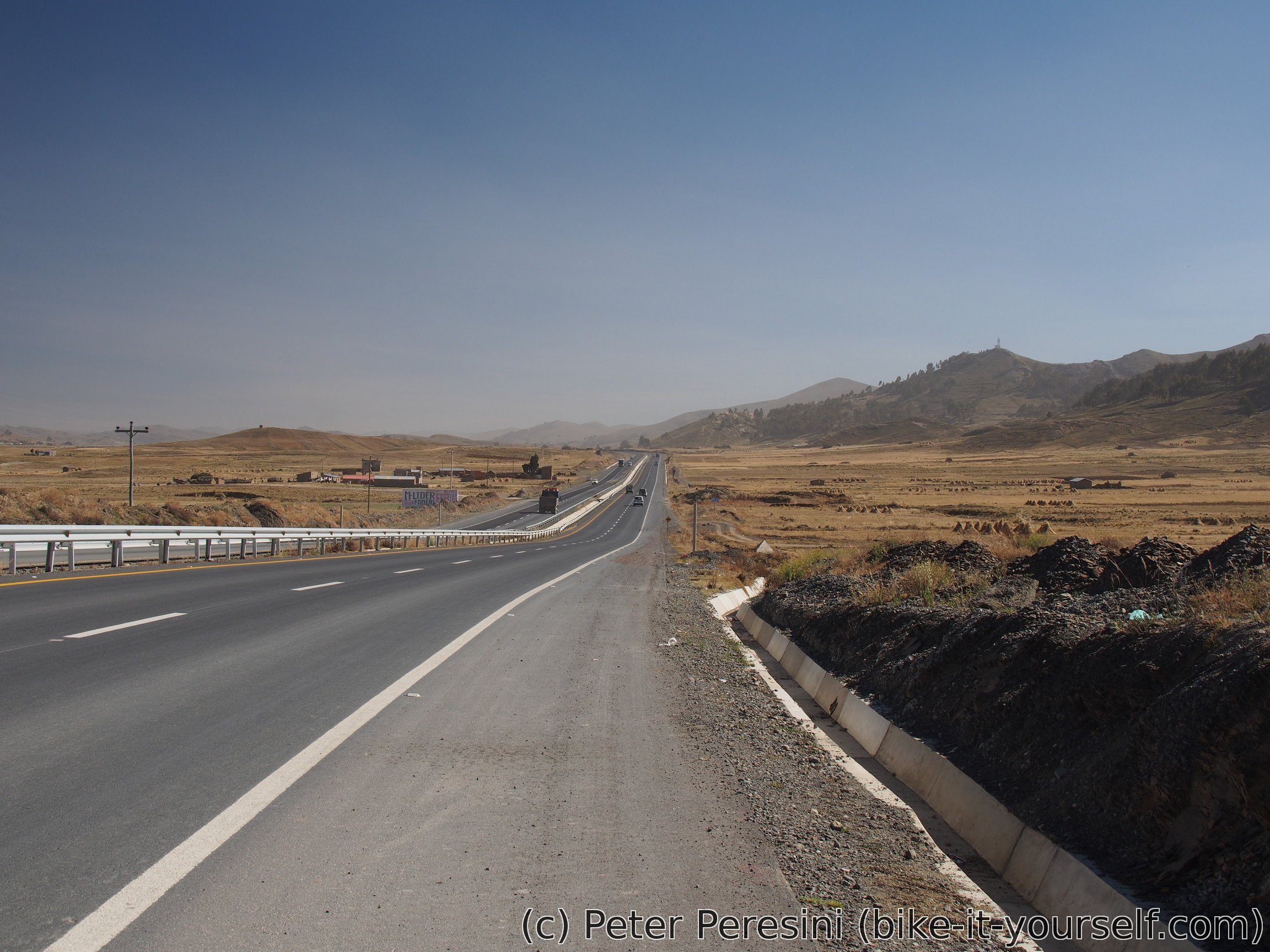
After I return from the shop and pack everything I am ready to start a boring climb -- I first need to get back to the altiplano. And the road isn't exactly nice -- my plan is to go what is essentially a motorway from La Paz to El Alto. There might be other, less busy, roads up but my experience with La Paz topology is that you shouldn't believe a random GPS route as it might well end up by some nasty steep climb.
When I finally get through all the crazy junctions, semaphores and traffic jams the autopista feels almost like a relief. This doesn't last too long though. Apparently they are rebuilding it which means that it is reduced to one, often quite narrow, lane. The second half of the climb is marginally better because I have a shoulder for me.
After climbing 600 meters up El Alto welcomes me. El Alto is a big (and poor) brother to La Paz -- this town is just incredibly huge, chaotic and obviously much poorer than La Paz. I break my dull ride by a lunch in a restaurant where Peruvian waitress/cook is obviously eyeing me. When I resume cycling I still have about ten kilometers left through the city. And then another autopista, this time on a flat altiplano.
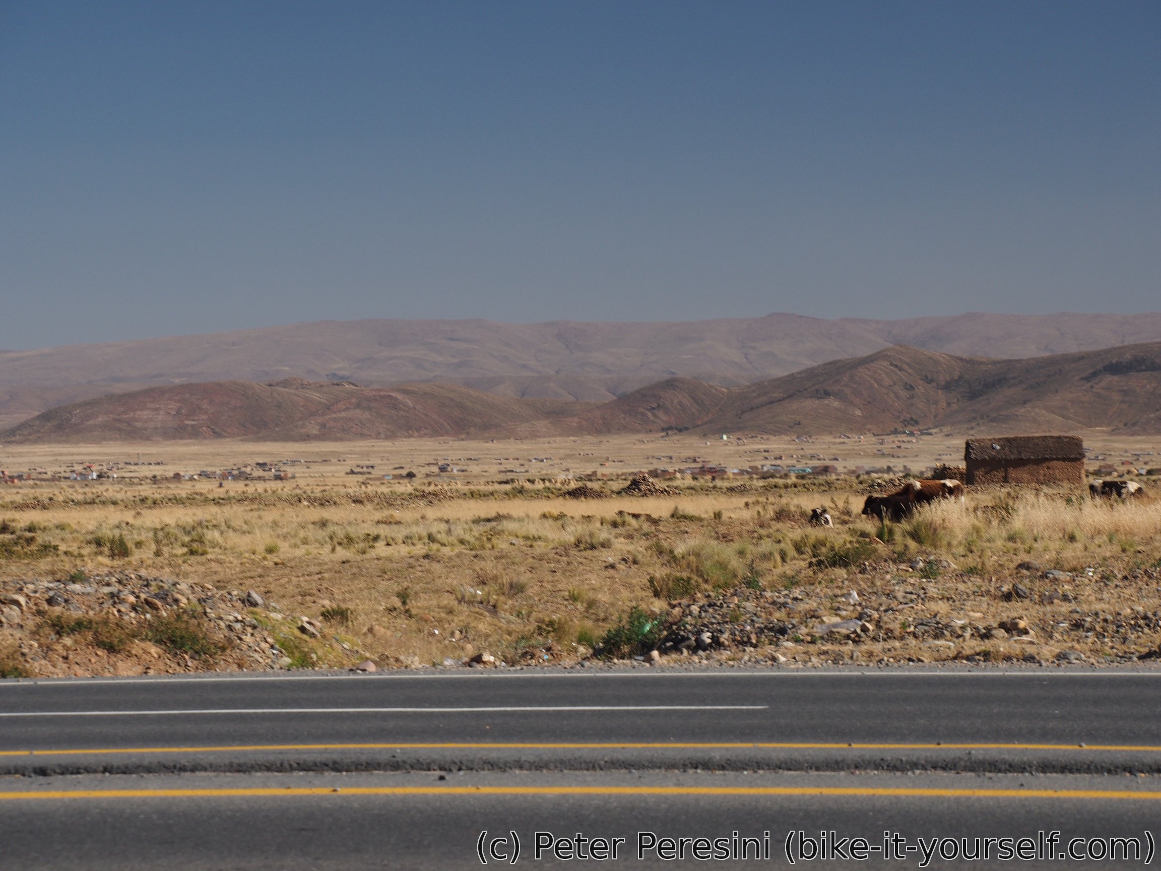
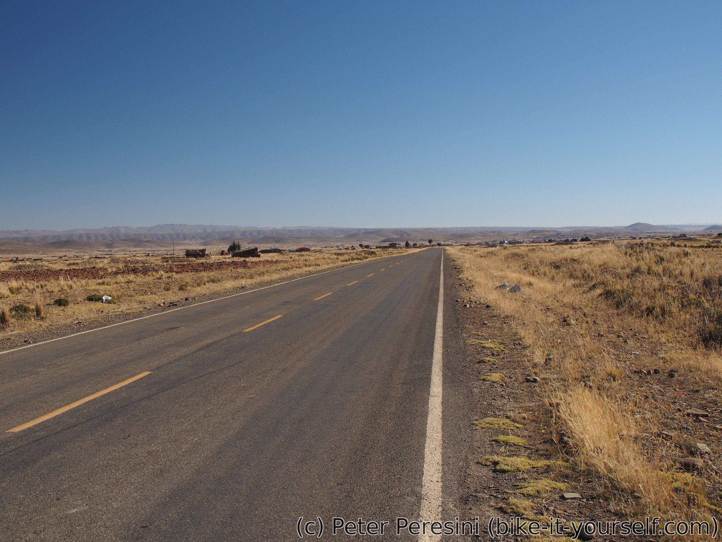
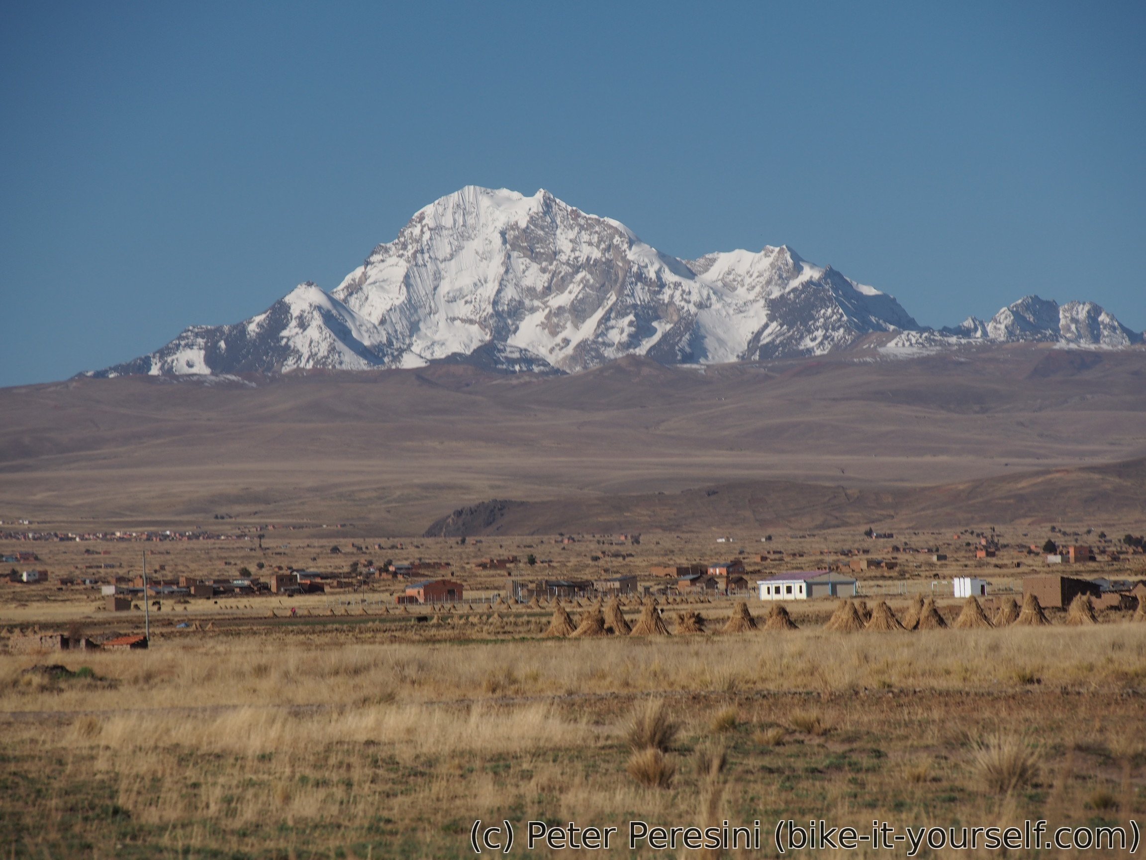
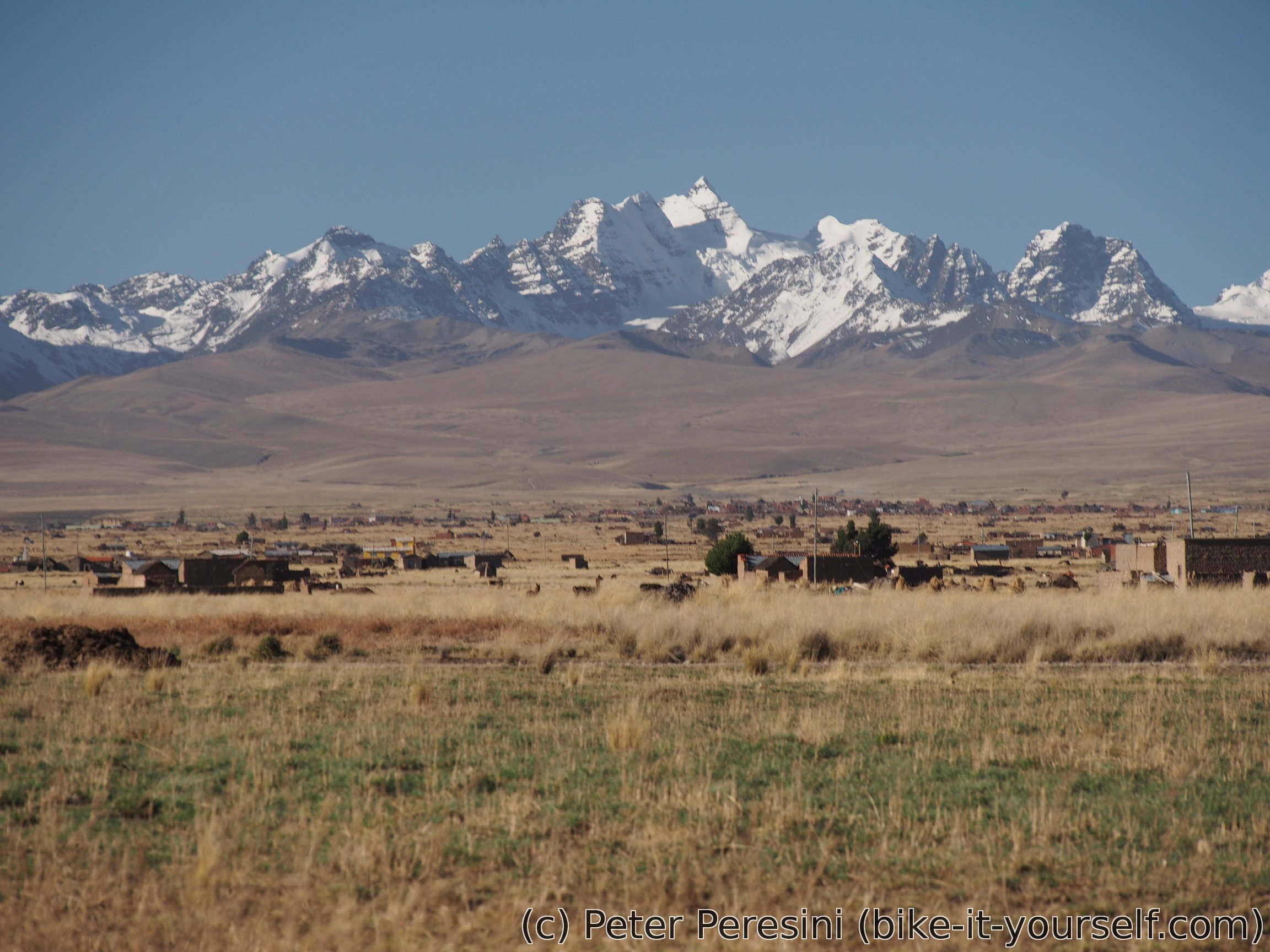
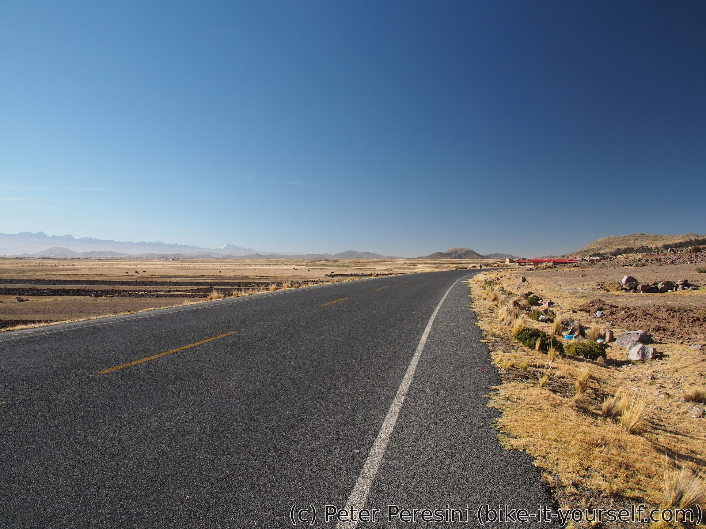
The altiplano itself isn't very interesting. I am however observing that there are much more people living here than it was more to the south. I guess that the quality of the earth is much better here than around salt flats. In either case, the views to the right are sprinked with nice snow-covered mountaintops.
After Patamanta I take my chance on ditching the busy road by detouring through Pucarani. It looks like they are just building the overpass bridge that connects this detour to the autopista so I am forced to just boldly cross all four lanes and ride a few meters on the opposite way of autopista. But then it is done and I am free of traffic.
I quickly zoom to Pucarani where the paving ends. From there it is bumpy ride to Batallas where I end the day.
June 17
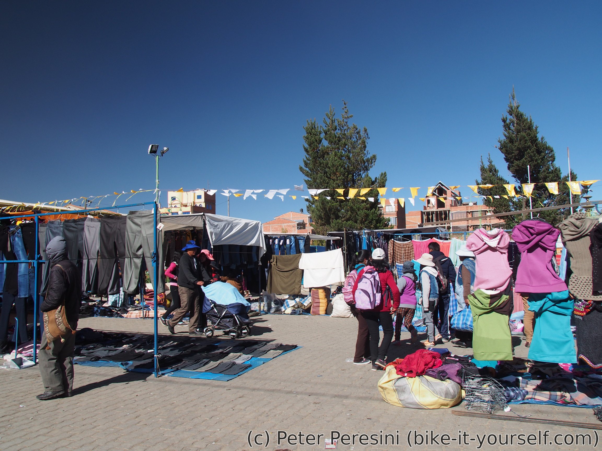
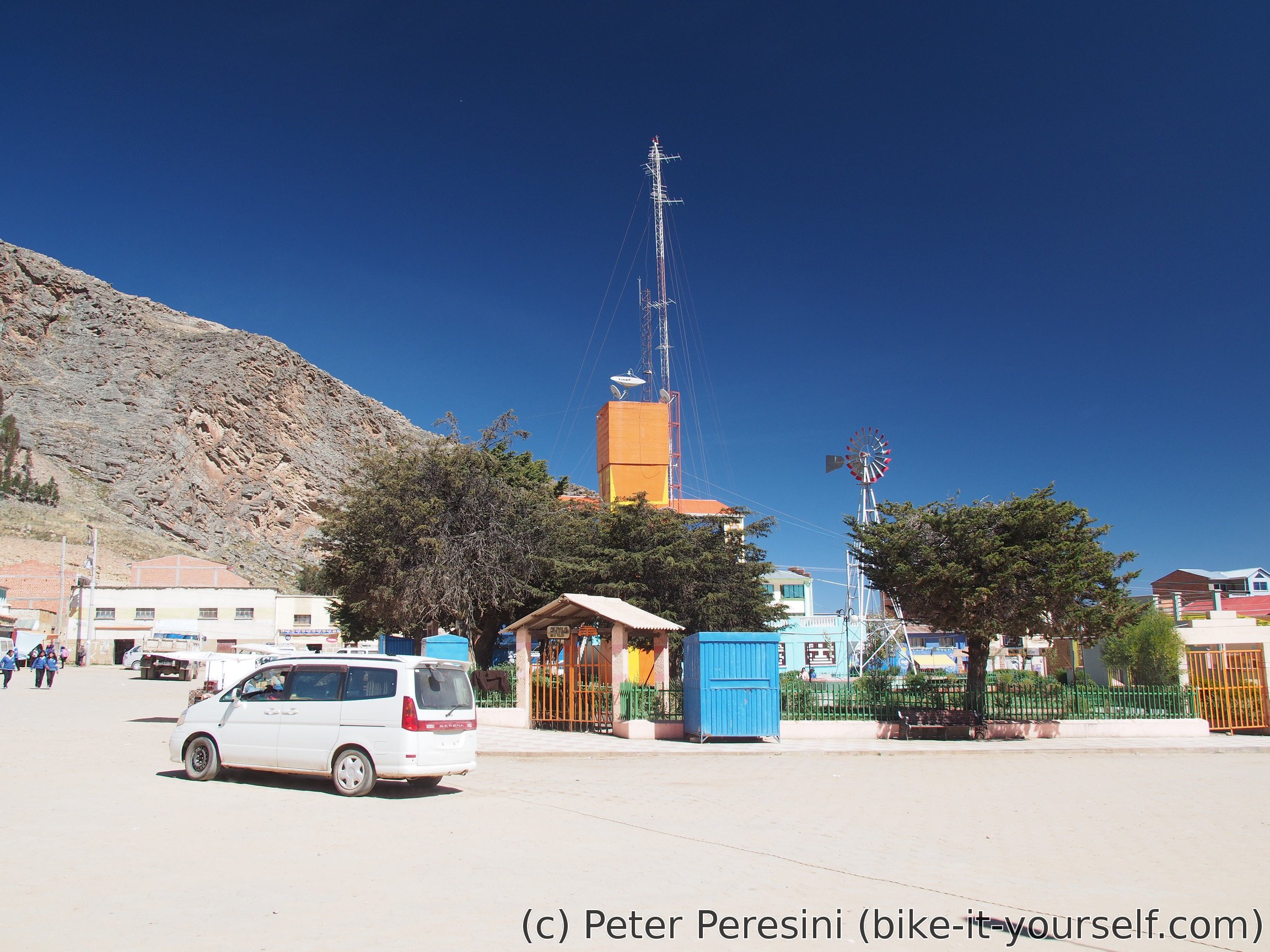
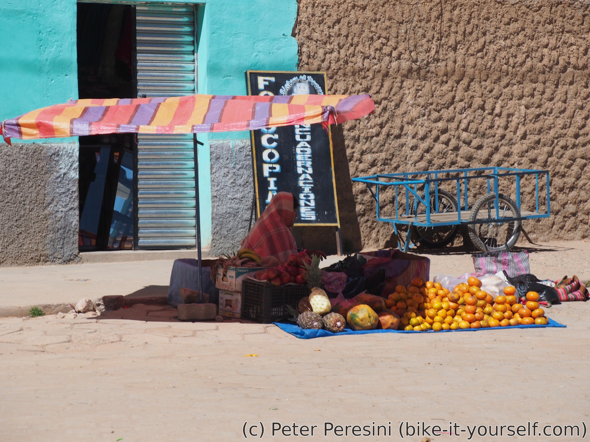
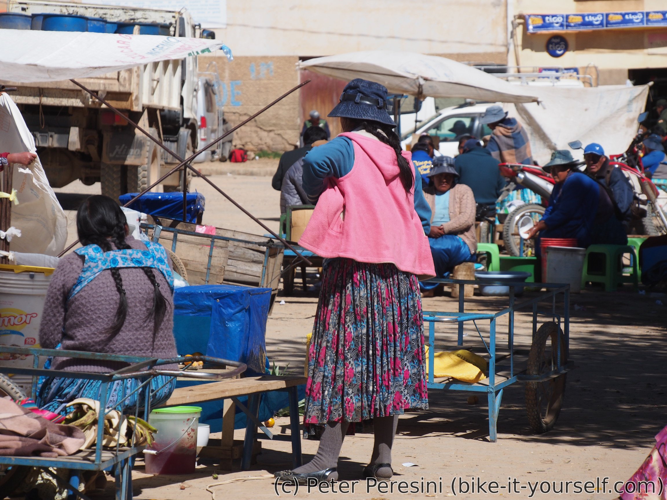
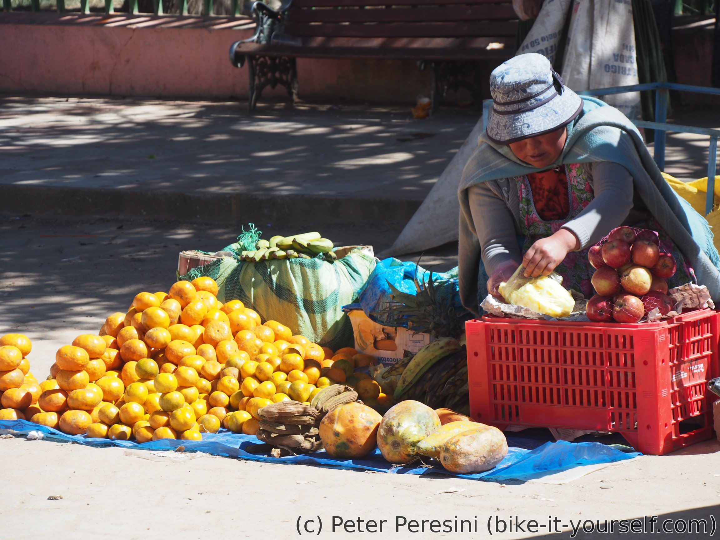
When I get out of hospedaje in the morning I am really surprised by the amount of people around. It turns out that there is some market going on and so the whole cener of this village is completely crowded with stalls and people -- you can buy here everything from clothes, boots, things for school, hardware store thorough bicycle parts (though not exactly parts for my bike) to food.

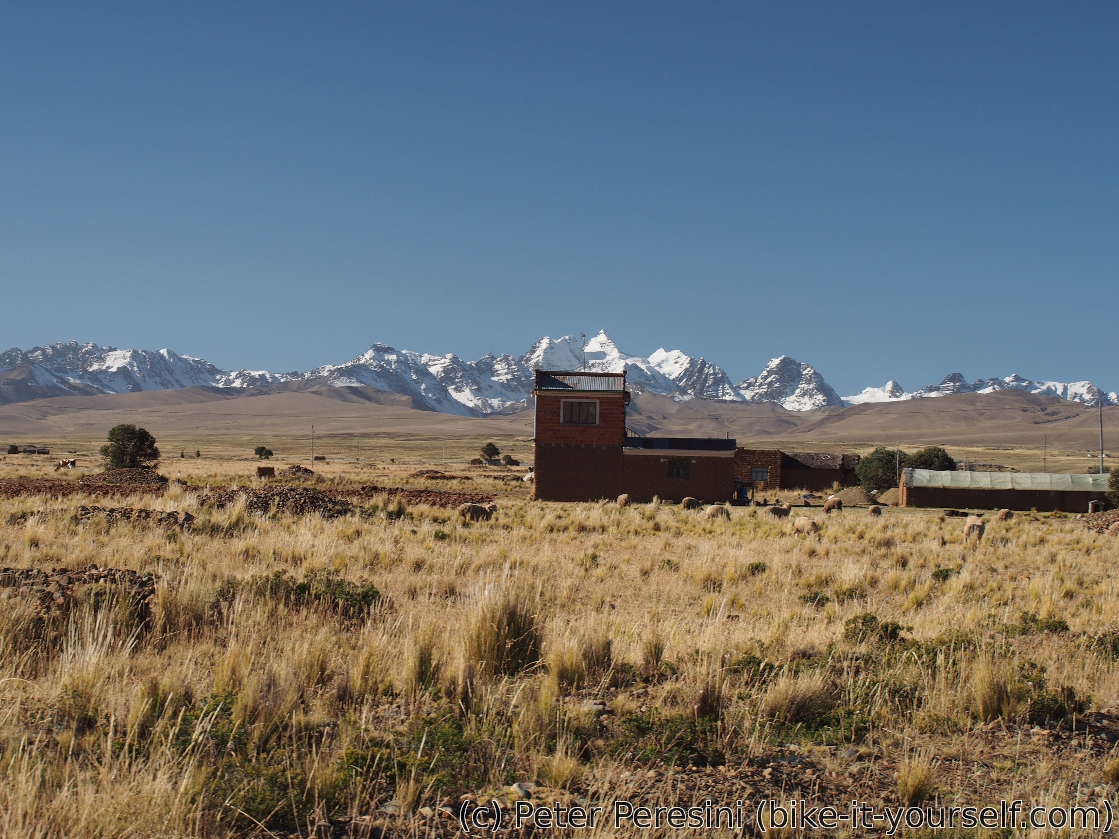
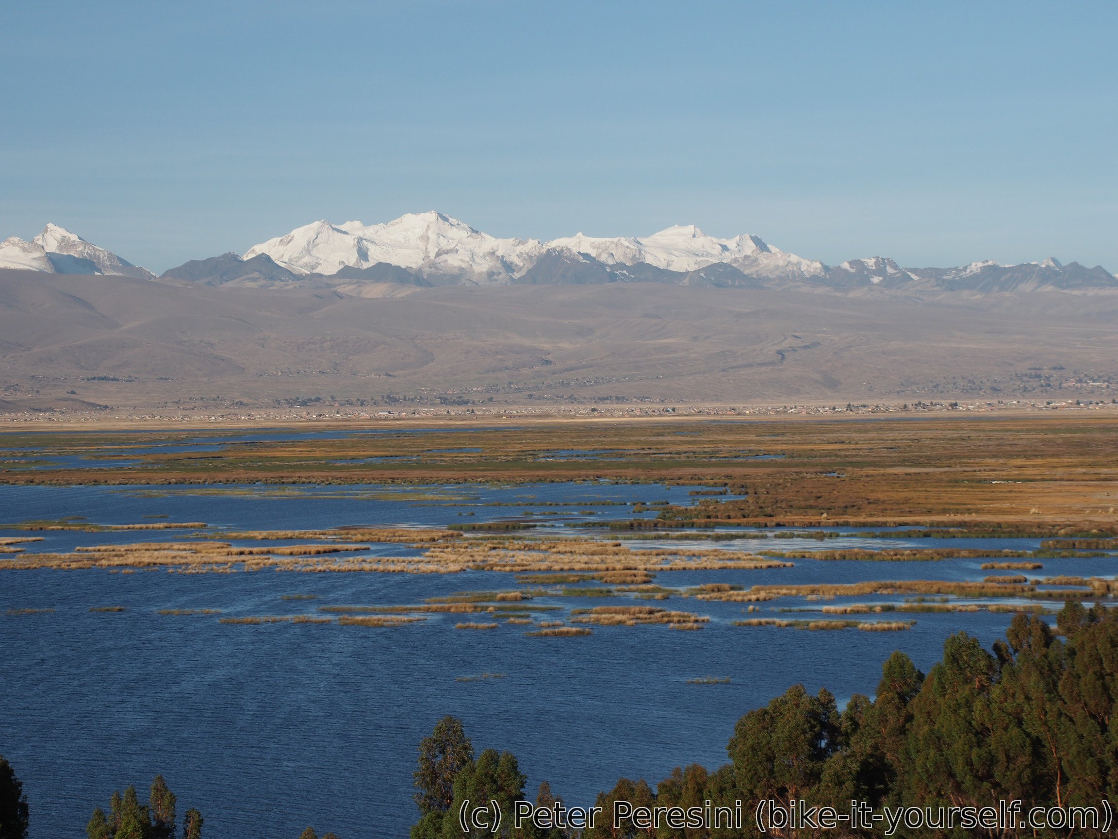
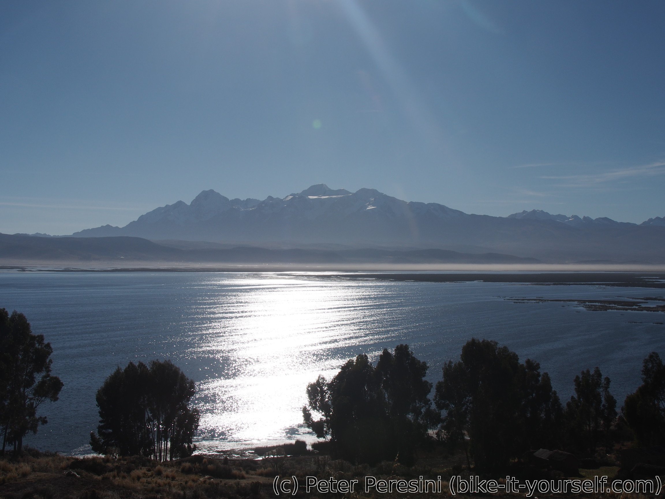
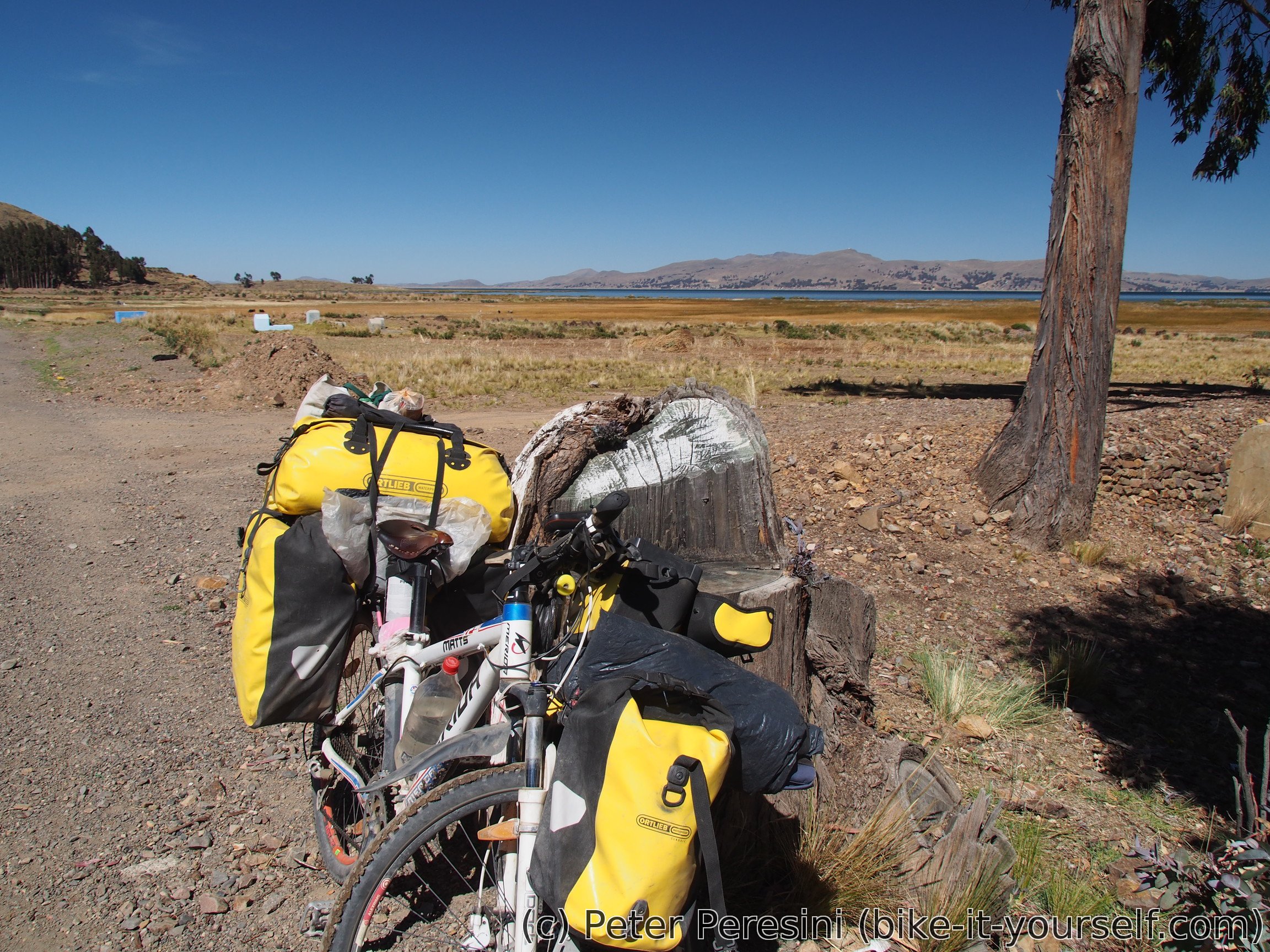
I continue from Batallas again on the autopista. Here I get the first glimpses of the "damn big lake". While I slowly throd enjoying the scenery a Swiss cyclist overtakes me. He is 30000 kilometers into the ride and doesn't want to stop anytime soon. But he doesn't really like the altiplano because of the cold nights. I cannot really wonder given how economically is his bike packed.
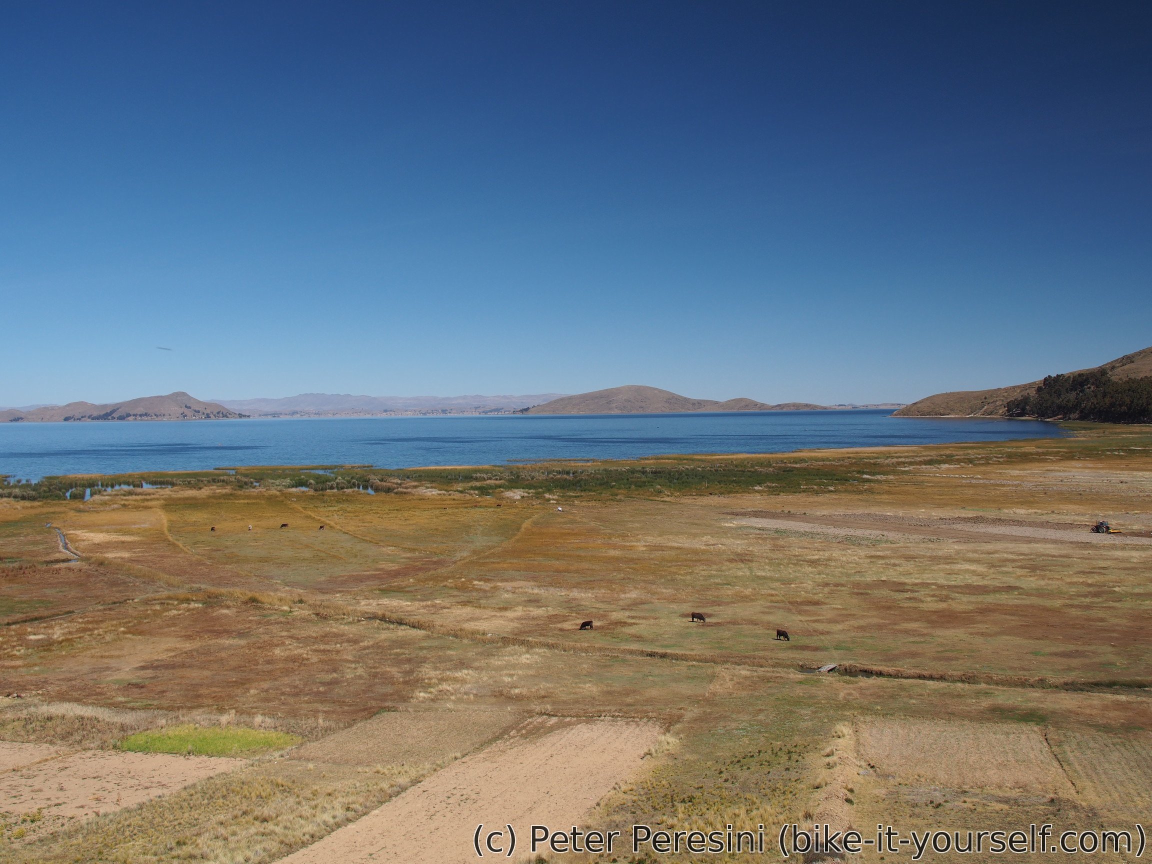
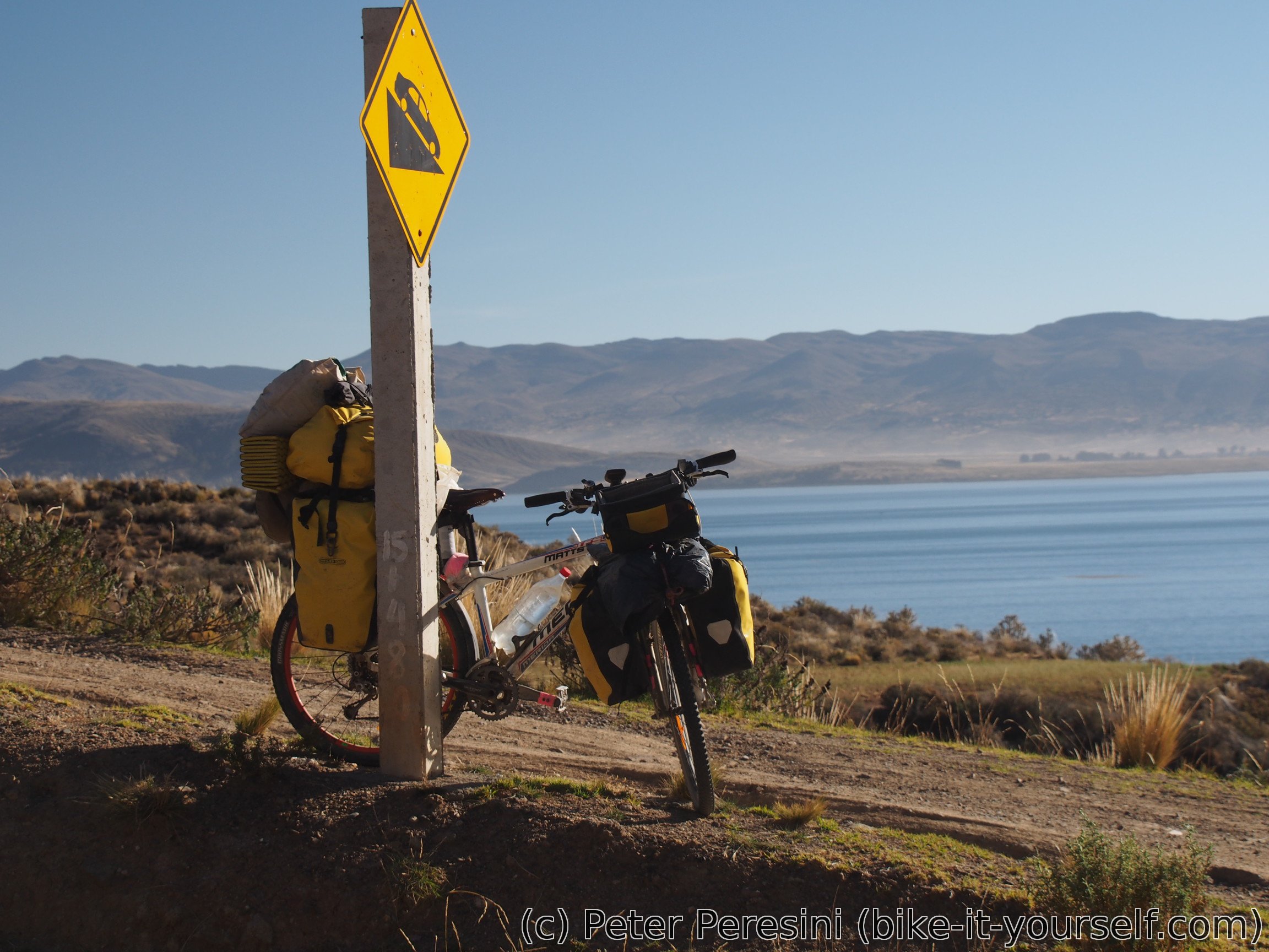
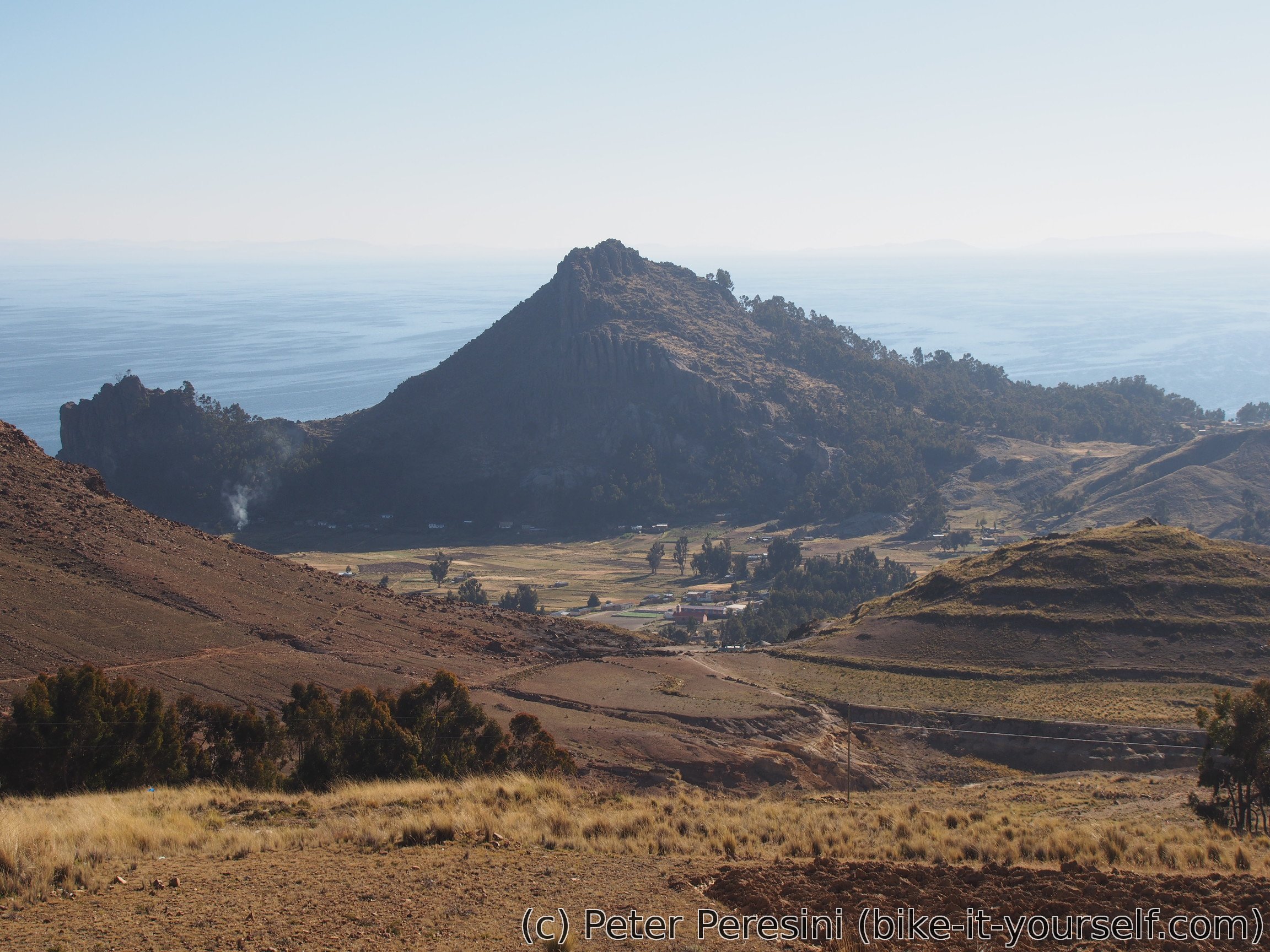
I split with my new Swiss friend when he stops for a lunch. I decide to continue around "peninsula". This provides me more views of Titicaca and I instantly feel like around a sea -- the lake is so vast that I hardly see the other side of it. And the road climbs and goes around it, passing through many settlements/small villages.

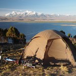
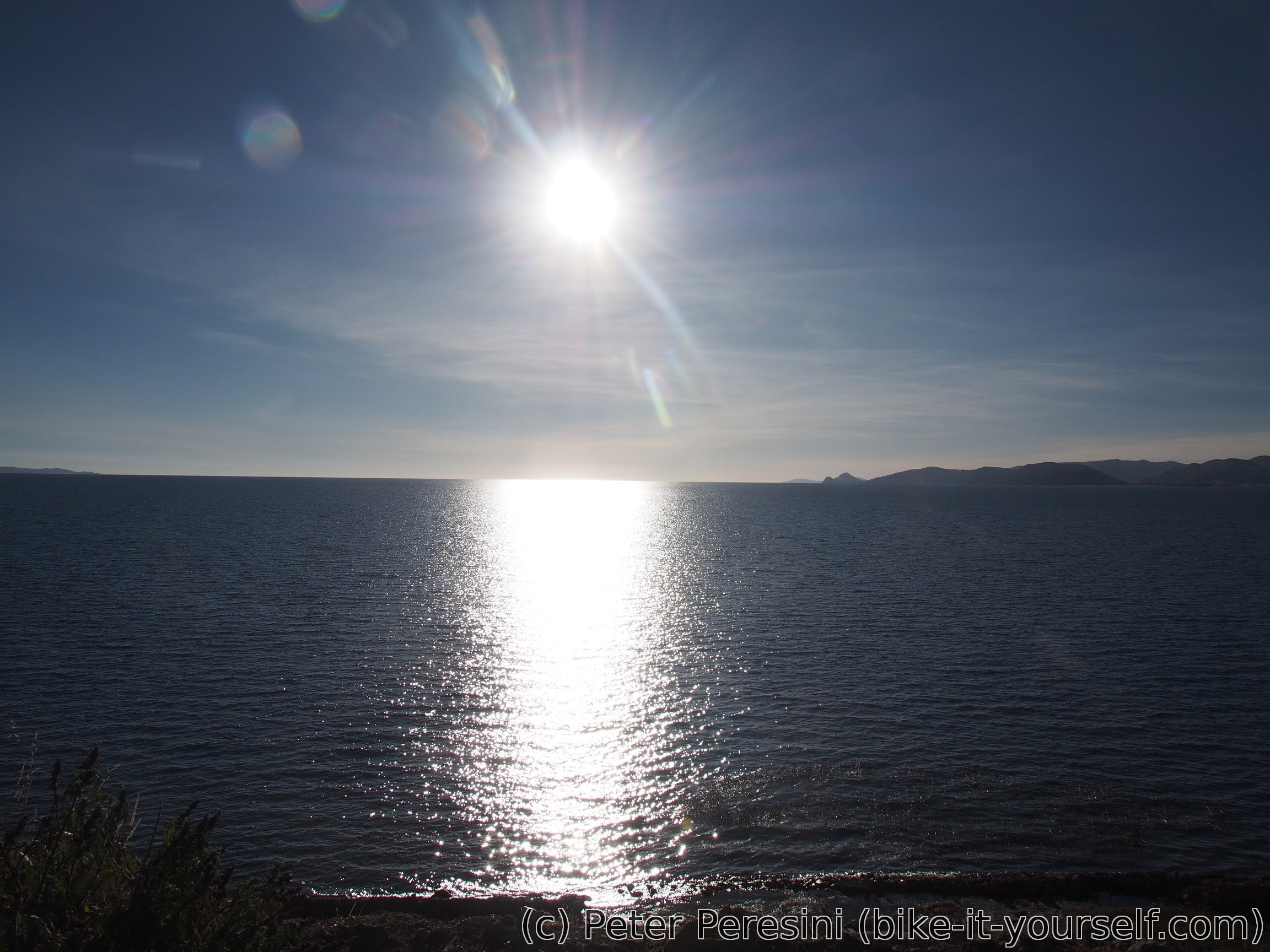
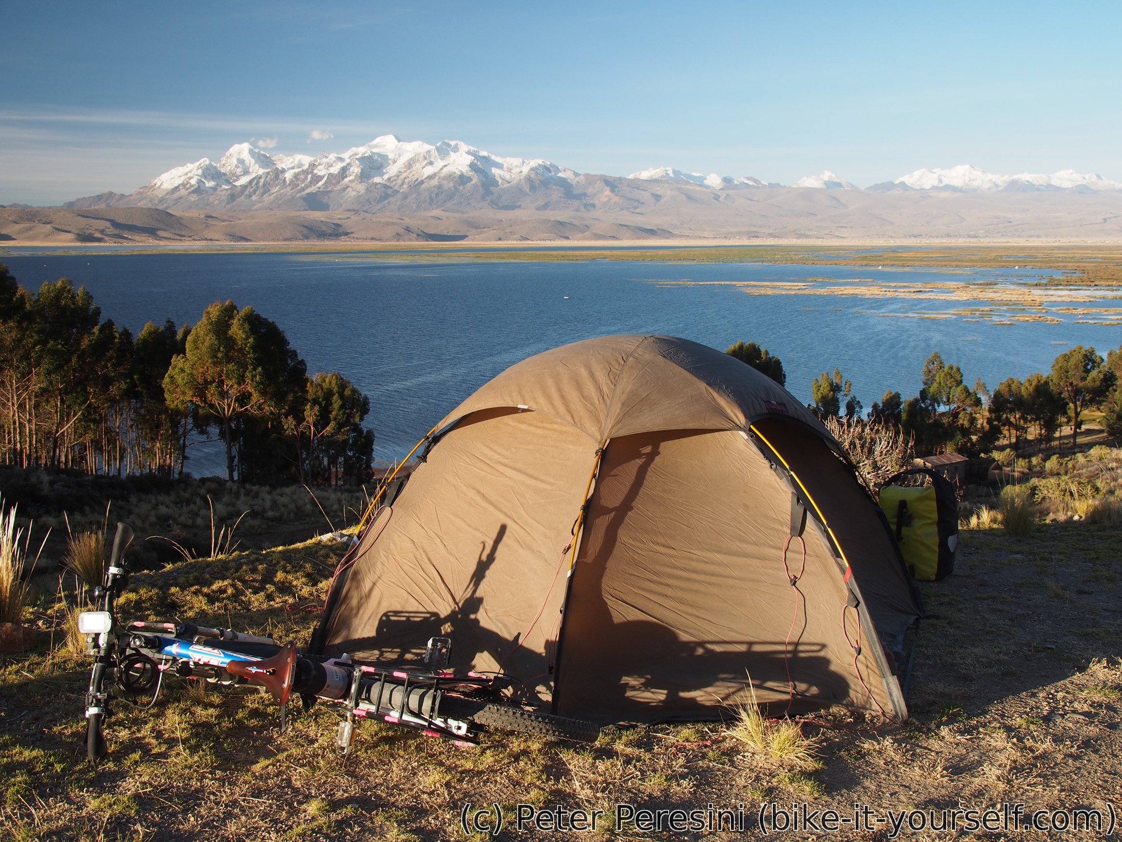
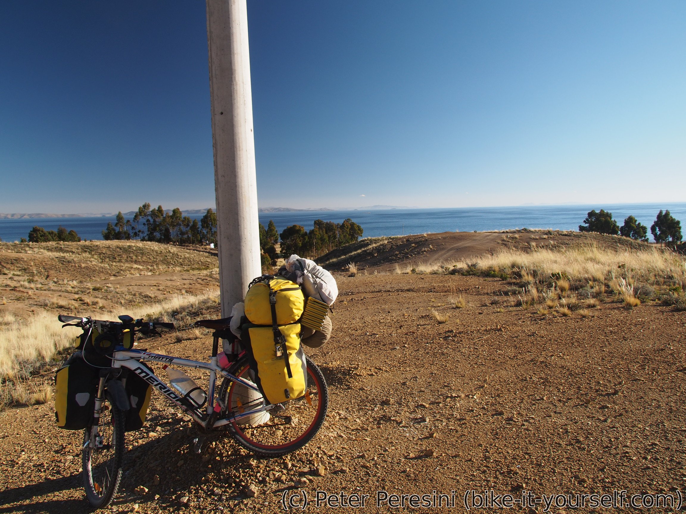
As the evening approaches I am trying to find some sort of an accomodation. Unfortunately, the villages I am passing through seem to be too tiny to have a hospedaje. In the end I end up just camping next to the road. But hey, what a view from the tent!
June 18
My swiss friend warned me about crazy freezing temperatures the previous night. The fear of having water turn into ice inside my tent however proved to be insubstantial. While it was freezing outside, it couldn't be that bad because I felt quite warm in my sleeping bags. And when the Sun hits the sky, it is immediately warm also outside.
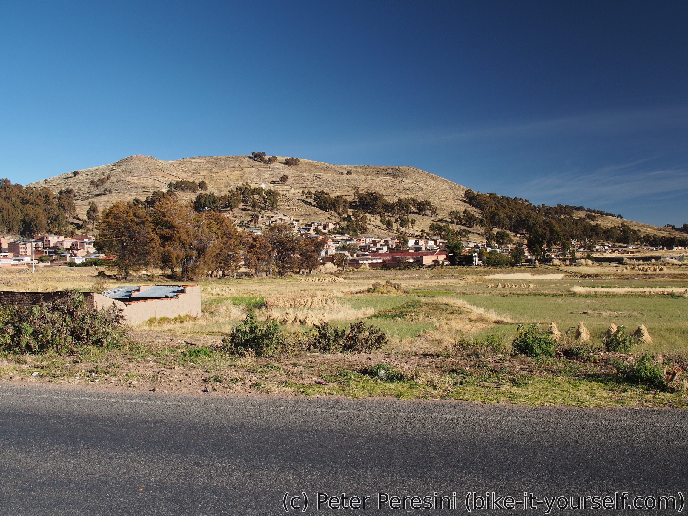
I continue to Achacachi, a small town/bigger village. I am surprised to come across another market atmosphere. On a second thought, it may have something to do with the fact that it is Sunday.
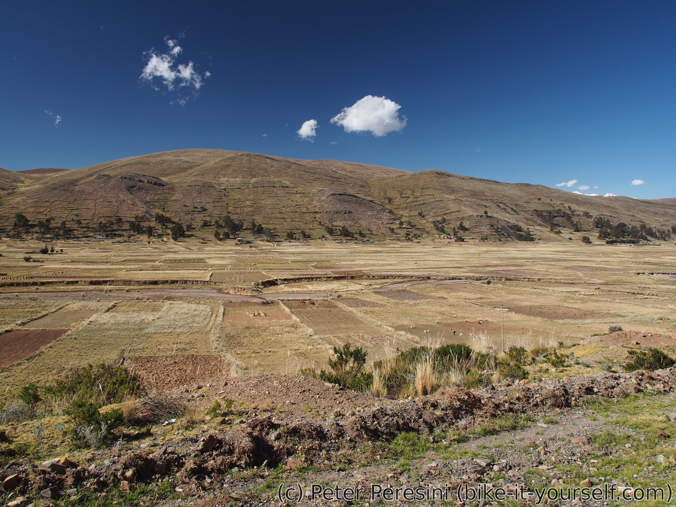
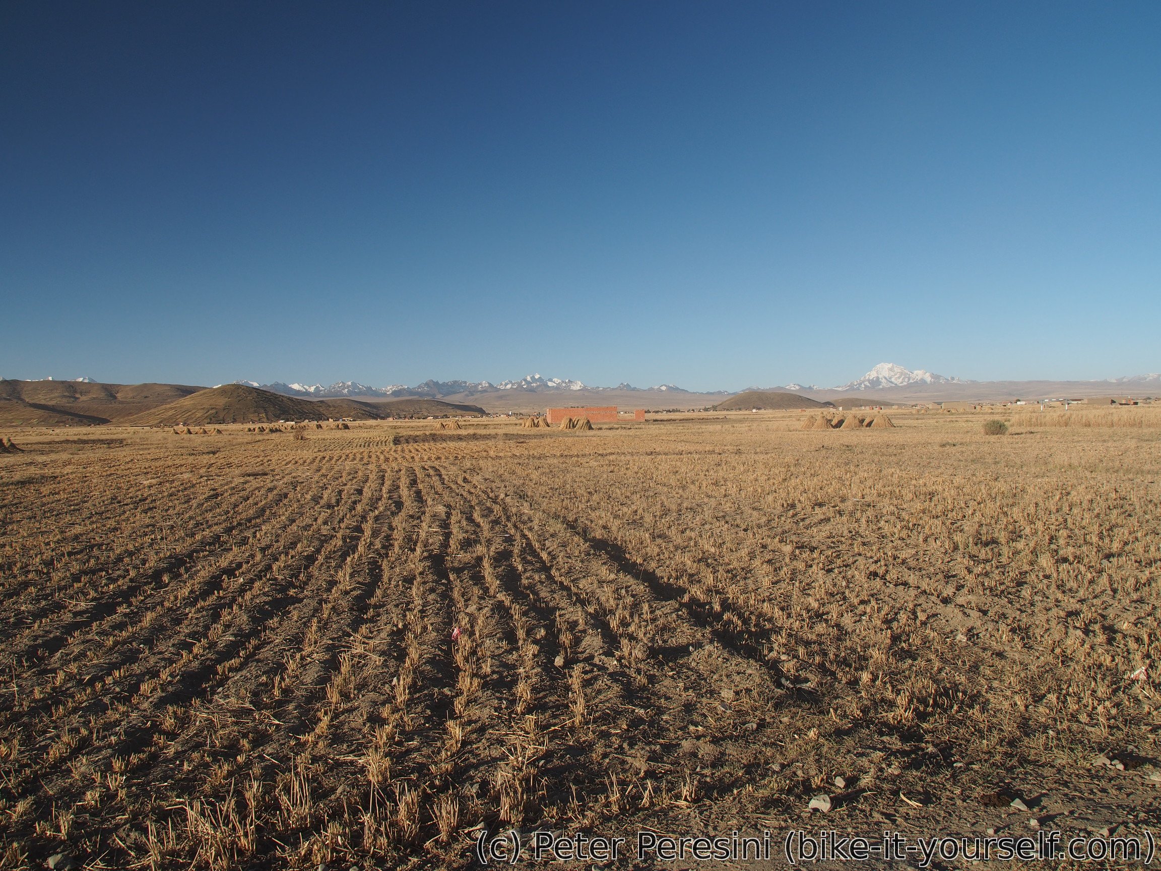
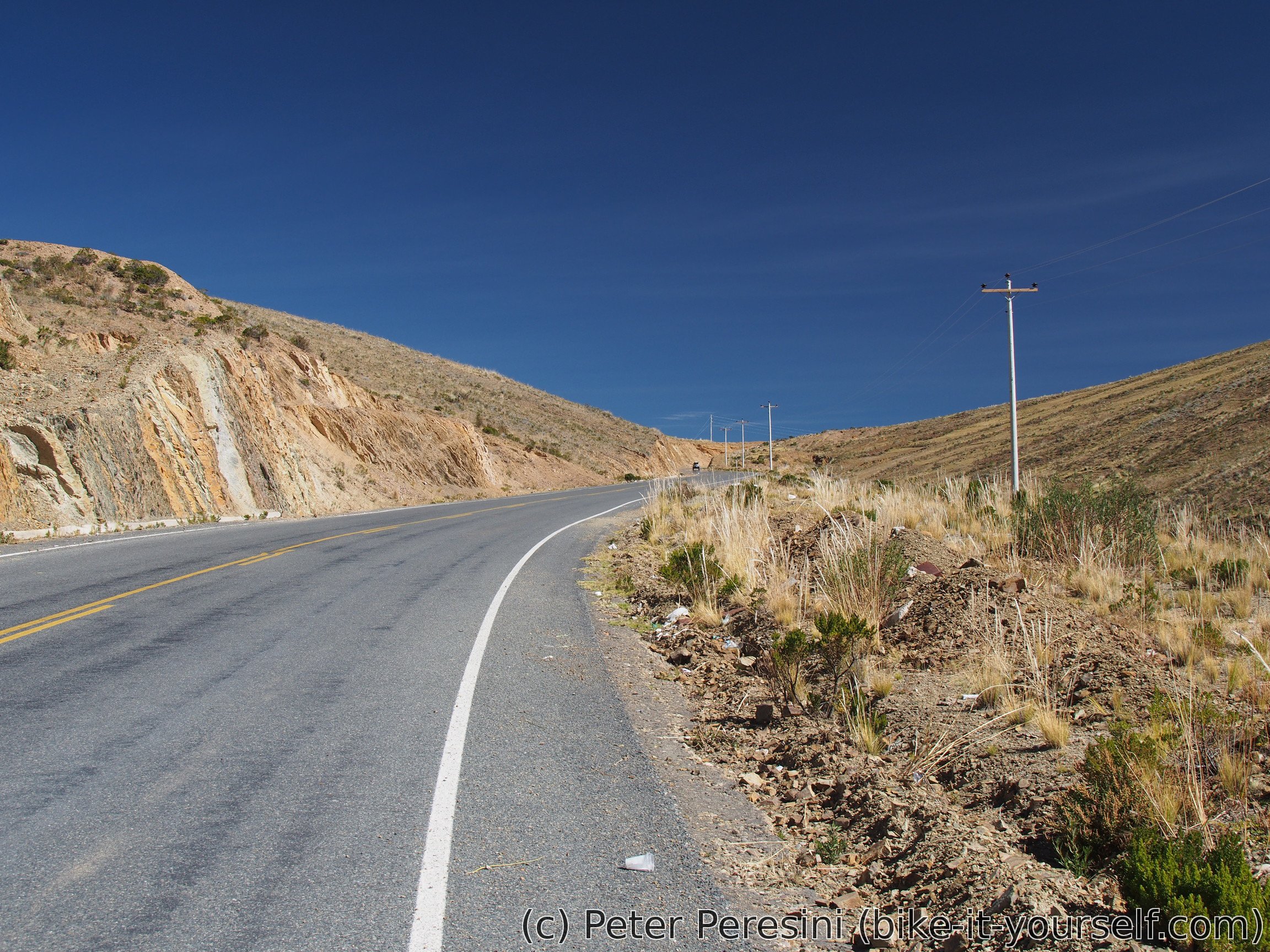
My next stop is Ancoraimes where I find my lunch. Ancoirames also bring in the climb of the day. That is, measly 300 meters of ascent. The road is "decorated" by sunning dogs. Seriously, if I did not see at least one dog each kilometer, then I was probably hallucinating.
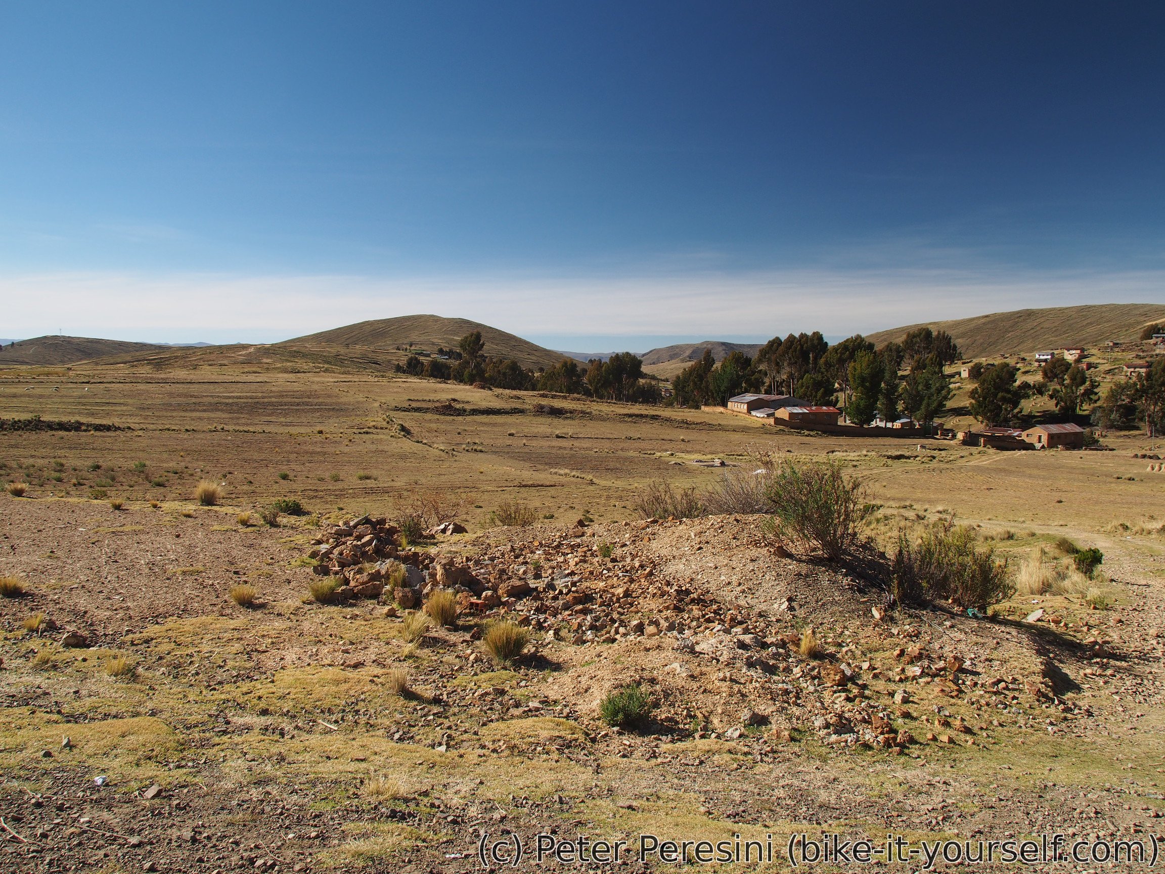
As with the previous day finding a place to sleep is proving to get a bit difficult. There are constantly lonely houses in the view -- basically the type of human settlement which is too diluted for any reasonable hopes of a roof above me for the night but still too dense to find a place where I can be alone.
June 19
As usual I wake up into a sunny but cold morning. My plan is to first finish the 20 kilometers to Escoma.
To my delight Escoma turns to be a smallish town with some supplies available. I am able to buy an instant soup and thus restock my dwindling dinner supplies. For the breakfast there is no sign of honey but I am able to buy sugar in a small quantity (which proves to be a bit more difficult, sugar usually being sold in half-a-kilogram packs). As for the lunch I settle on a street food. The only thing that Escoma lacks is an exchange. As this is the last bigger town before the border with Peru I am a bit disappointed (I forgot to exchange money in La Paz).
At noon I am ready to start again towards Puerto Acosta, the last village before the border. To my surprise the road still continues to be paved and in no time I am before the Bolivian police checkpoint only to be informed that the immigration is next doors but they went for the lunch. As there is nothing I can do I just have to wait till it opens again. The waiting turns out to be about an hour -- the Bolivians have apparently very good lunch lasting much longer than the official opening hours permit.


After I am successfully stamped out of the country (though the immigration officer took a peculiar look at the fact that I managed to secure my two 30-day stamps right at the Hito Cajon border) I can continue to Puerto Acosta and then Peru. Moreover, I am learning good news -- by now there is also a Peruvian immigration in Tilali (my previous information was that there is an immigration which is in the progress of opening to the public, nobody knew when).
In Puerto Acosta I make a last attempt at changing money. This proves to be quite a success -- locals point me to a lady which can change the money. The exchange is quite quick as the lady is also planning to go somewhere on a collectivo which honks about its departure.
The only problem with the lazy immigration is that now it is 4pm which is a bit late for crossing the border. I decide to push anyway. Almost literally -- the first part of the climb to Tilali, which is on the coast and thus not on the paved highway going to Peru, is quite steep. The climb, however, gradually transforms into a more rideable gradients.
One thing that surprises me is the wind. Today it is really strong, fortunately not from the north. Still, the howling wind reminds me that I definitely do not want to camp outside this night. So I push a bit more until I reach the top of the pass and thus the invisible border separating the two countries. I quickly descend to a police checkpoint where they take my passport details and tell me that the immigration office is down in the village. With the setting Sun I rattle past the villagers and into the main plaza. There I find the immigration and deal with the necessary buerocracy. When the official asks me about how long I want to stay, I reply that 4-5 months but I can only 3. He promptly replies that I can stay more and gives me 6 month stamp which I will really appreciate later on. Now is the time to find a roof and fortunately there is a hospedaje right at the corner of the plaza.
Route
Download simplified GPX of a route here
Stats by activity:
| Activity | Distance (km) |
Ascent (km) |
Pedal rotations (thousands) |
|---|---|---|---|
| bike | 276 | 2.0 | 54 |
| Date | Distance (km) |
Ascent (km) |
Avg. temp (moving, C) |
|---|---|---|---|
| June 16, 2017 | 68.8 | 0.58 | 17.5 |
| June 17, 2017 | 74.9 | 0.46 | 15.3 |
| June 18, 2017 | 71.0 | 0.37 | 13.8 |
| June 19, 2017 | 61.3 | 0.54 | 11.8 |
Elevation data
The next table is only for cycling activity.
| Grade(%) | Ascent (km) | Descent(km) |
|---|---|---|
| < 2 | 185.4 | |
| < 4 | 13.6 | 20.1 |
| < 6 | 6.7 | 4.5 |
| < 8 | 4.9 | 4.0 |
| < 10 | 1.5 | 0.7 |
| ≥ 10 | 1.4 | 1.2 |
<a href=http://vslevitrav.com/>generic levitra for sale in us
<a href=http://vsantabusev.com/>is disulfiram approved in canada</a>
<a href=http://cialiswwshop.com/>cialis generic 5mg</a>
If some one wishes to be updated with latest technologies after that he must be pay a visit this web page and be up to date all the time.
I read this paragraph fully concerning the resemblance of most recent and preceding technologies, it's awesome article.
hydroxychloroq <a href="https://keys-chloroquineclinique.com/#">chloroquine otc</a>
I don't even know how I ended up here, but I thought this post was good. I don't know who you are but certainly you are going to a famous blogger if you aren't already
Having read this I thought it was rather enlightening. I appreciate you finding the time and effort to put this content together. I once again find myself personally spending a significant amount of time both reading and leaving comments. But so what, it was still worthwhile!