
Yauri(Espinar) to Tolconi
 Share:


My zig-zag approach of going north continues by getting back to the west. The main reason I went from Chivay to Yauri as opposed going directly to the north is the fact that there is some supposedly nice scenery from Yauri back to the east. And sure enough, ride through Tres Cañones is really beautiful. Afterwards I am ready to start a real alti-route (covered mostly by subsequent posts)
July 5
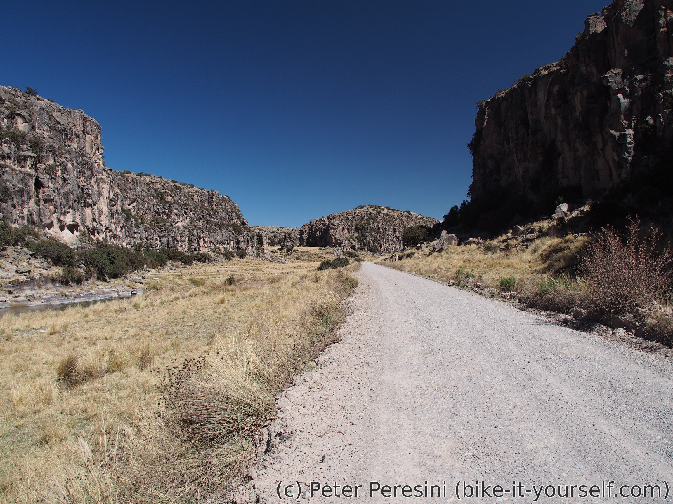
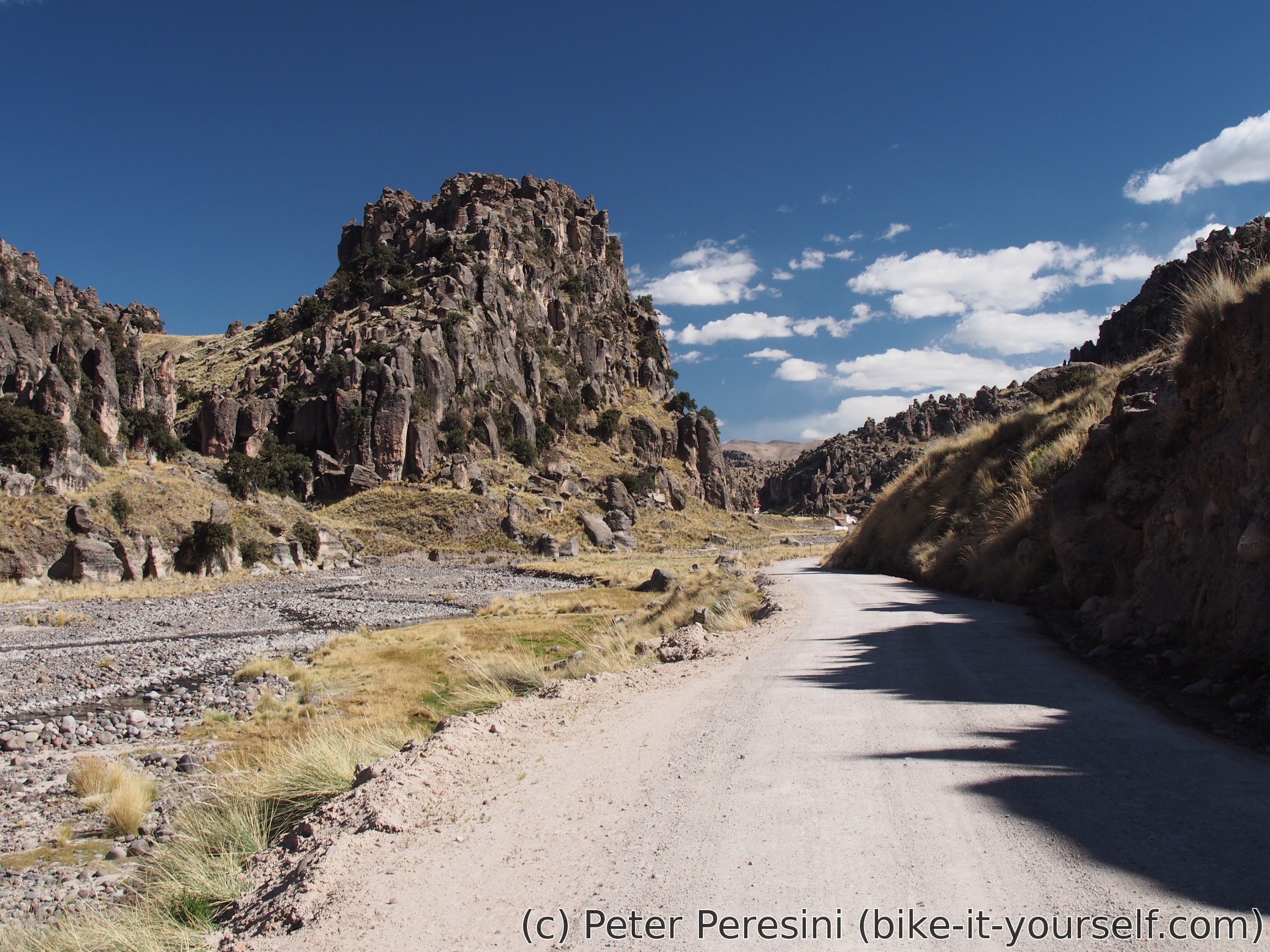
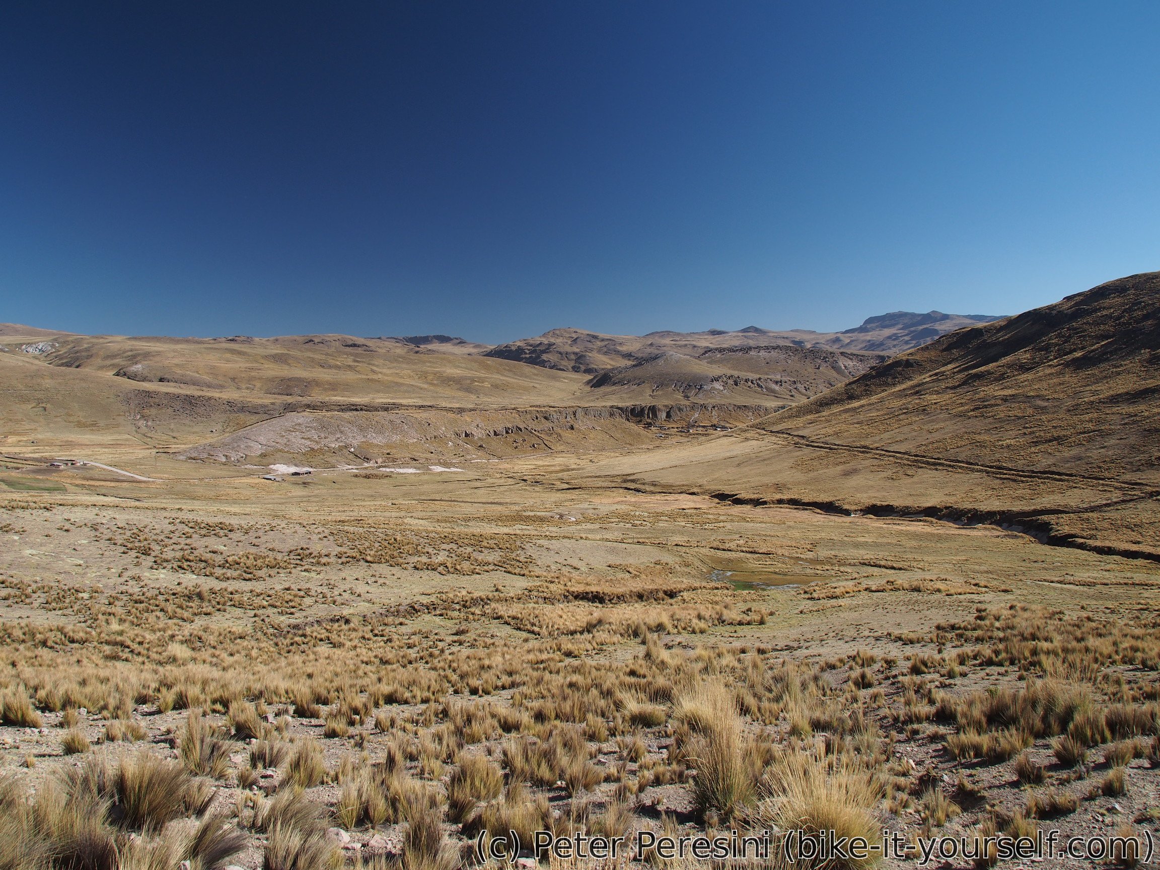
The road from Yauri/Espinar first goes on a big (alti-)plane. In fact, it really reminds me the route from Juliaca to Mañazo. This slowly changes though as I reach a start of a canyon. The first demo of what will come shows already when crossing a bridge over Rio Apurimac which cuts into the flat altiplano. But the real treat starts only a while later when I rejoin the river by descending into a bit wider canyon.

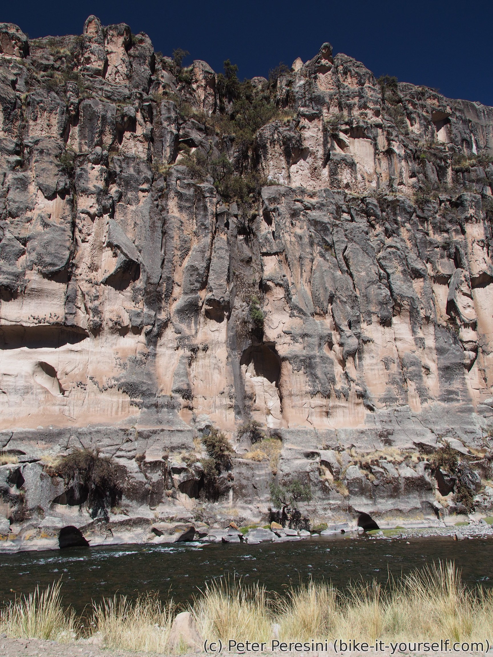
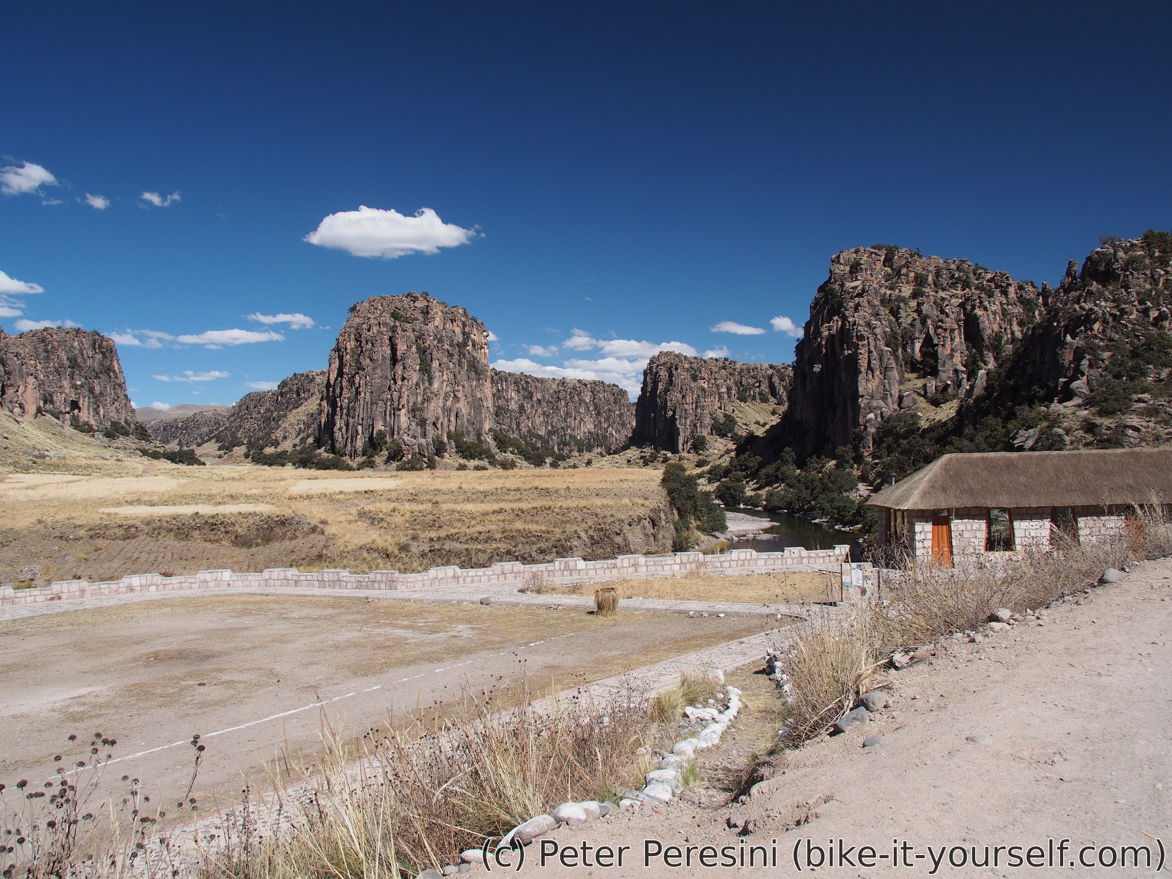
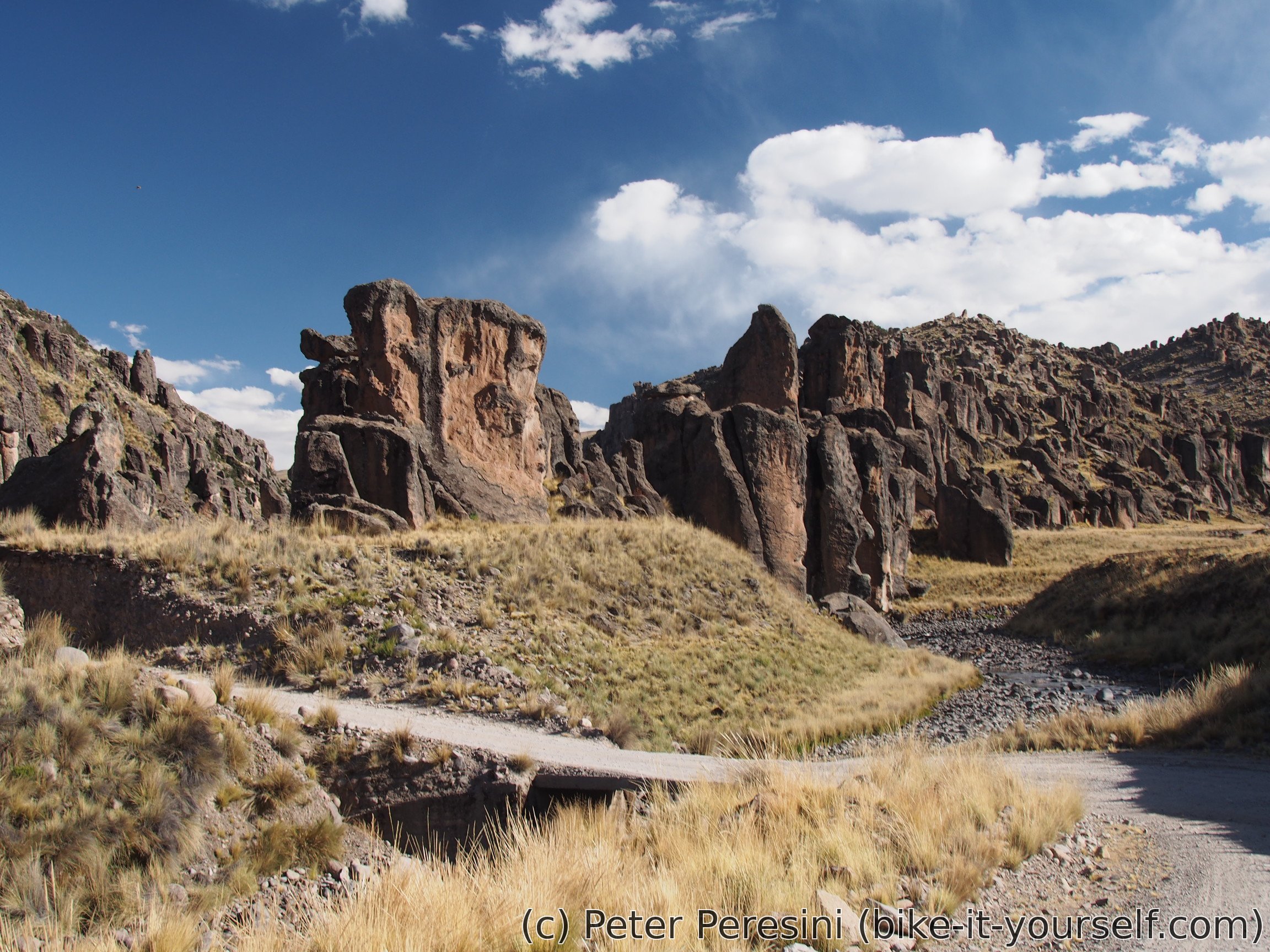
The afternoon ride is mostly through the Tres cañones scenery of big rocky walls. This is sprinkled by frequent archeology site signs though I am not visiting the sites because it is impossible to say how far from the road they are.
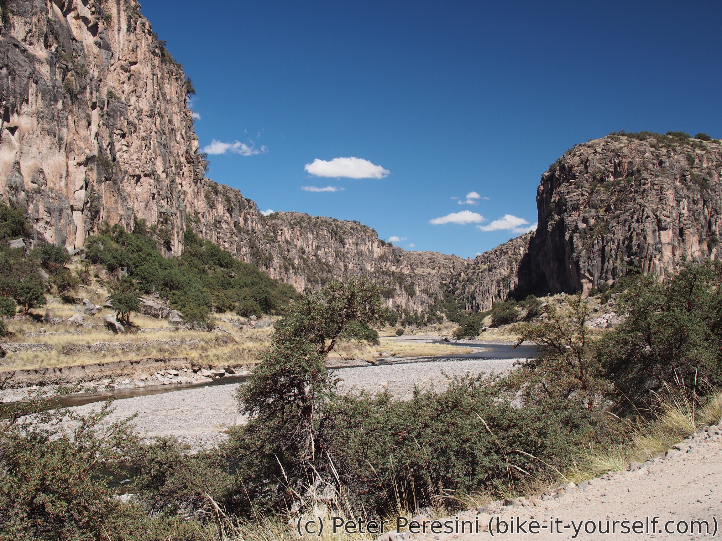
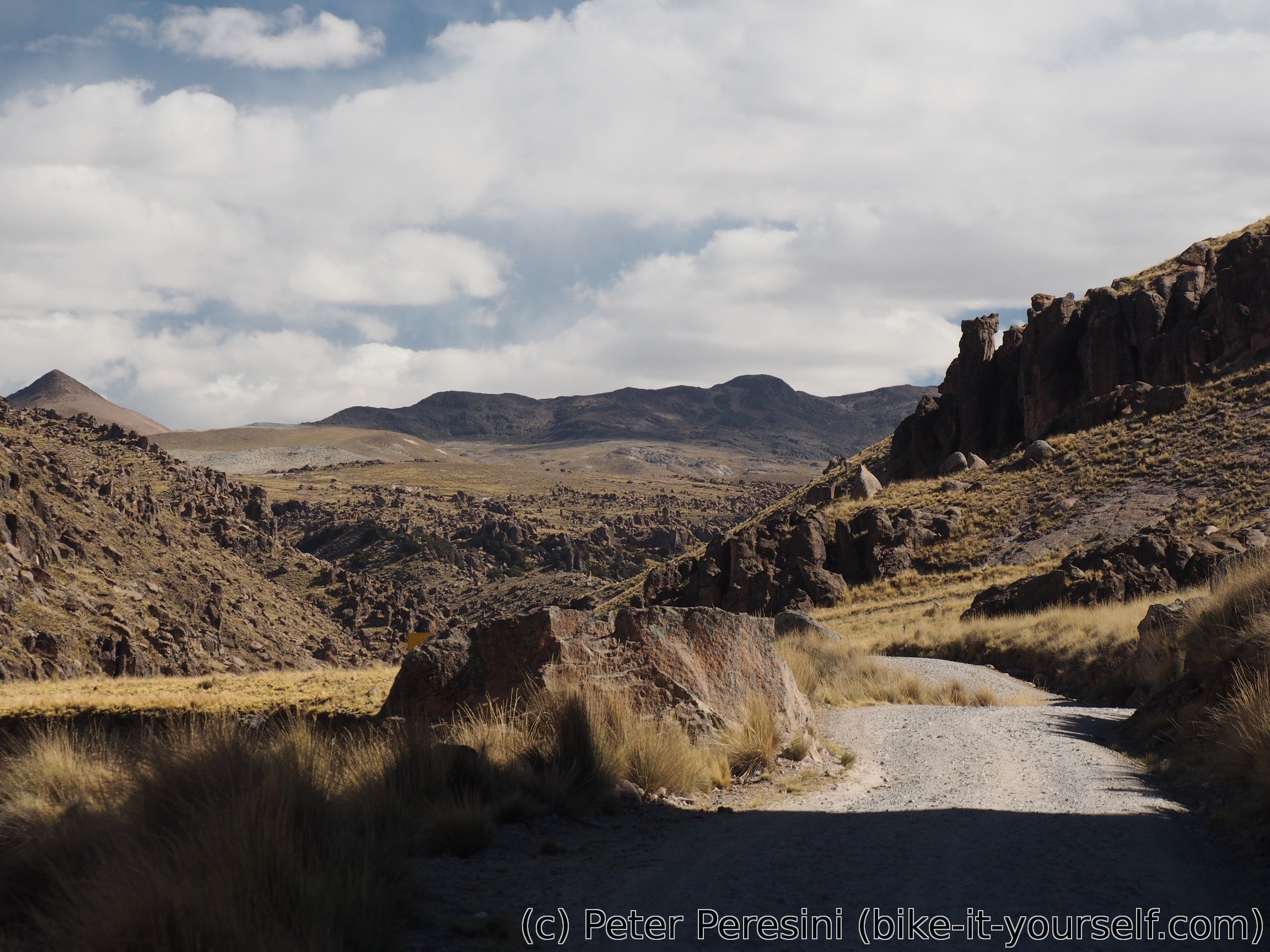
Of course, as with everything good, the ride through Tres cañones slowly ends by the evening when I find myself slowly climbing out of the end of (one) canyon and back into the hilly pampa.
July 6
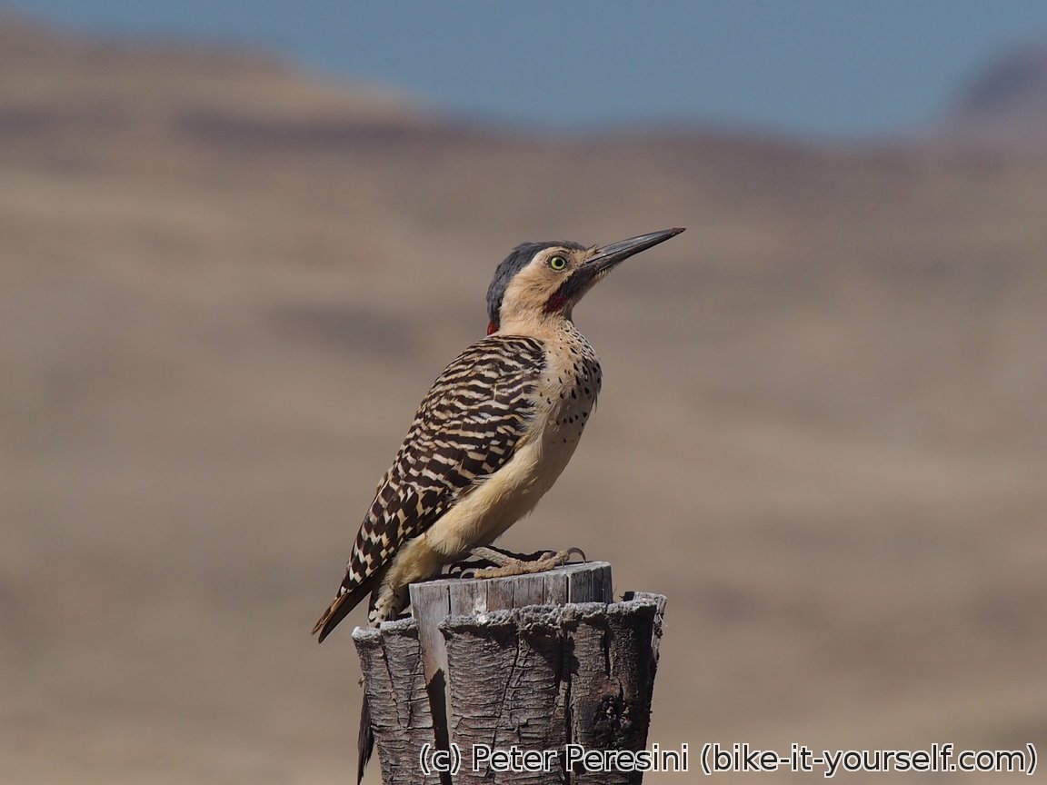
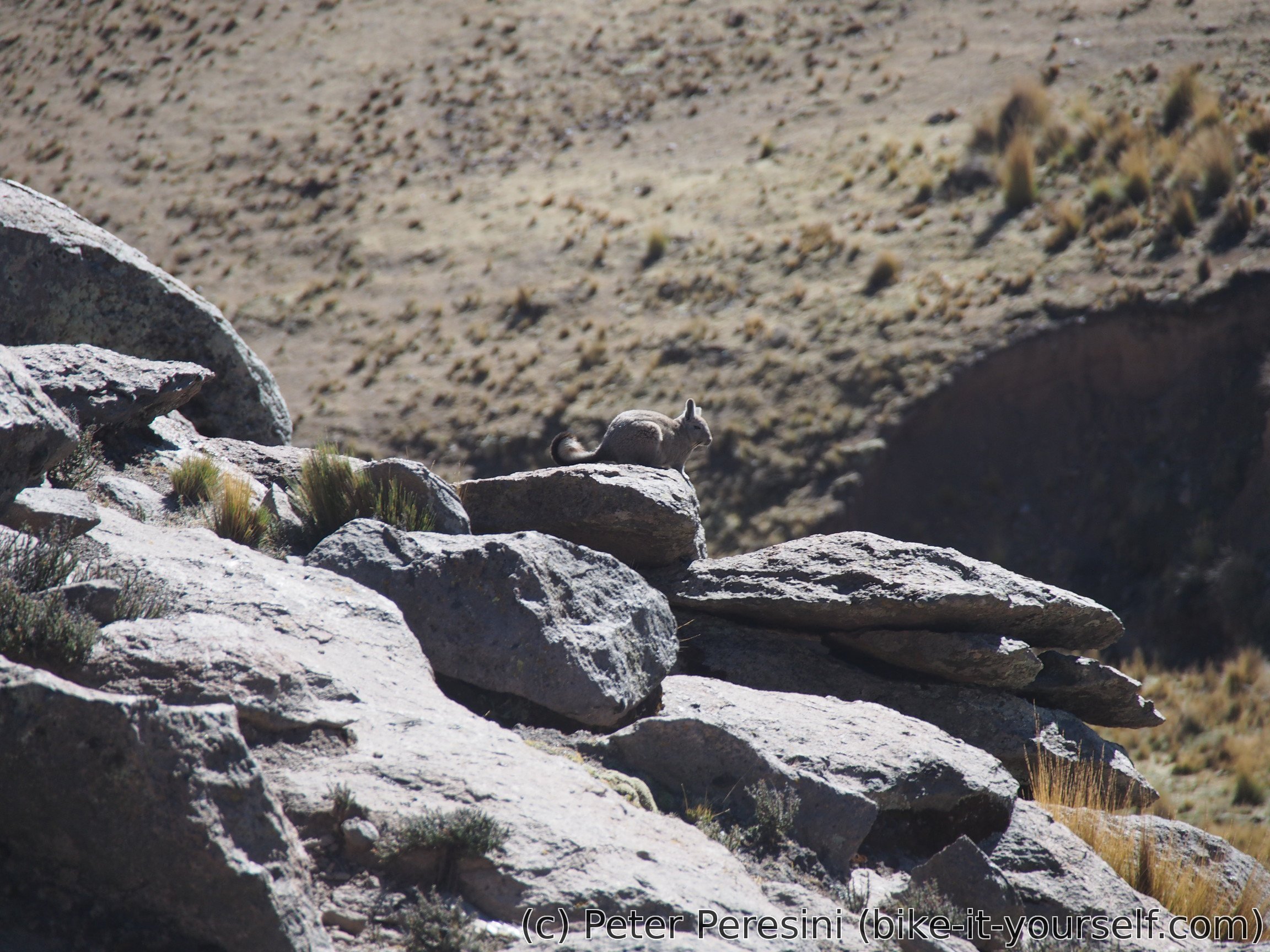
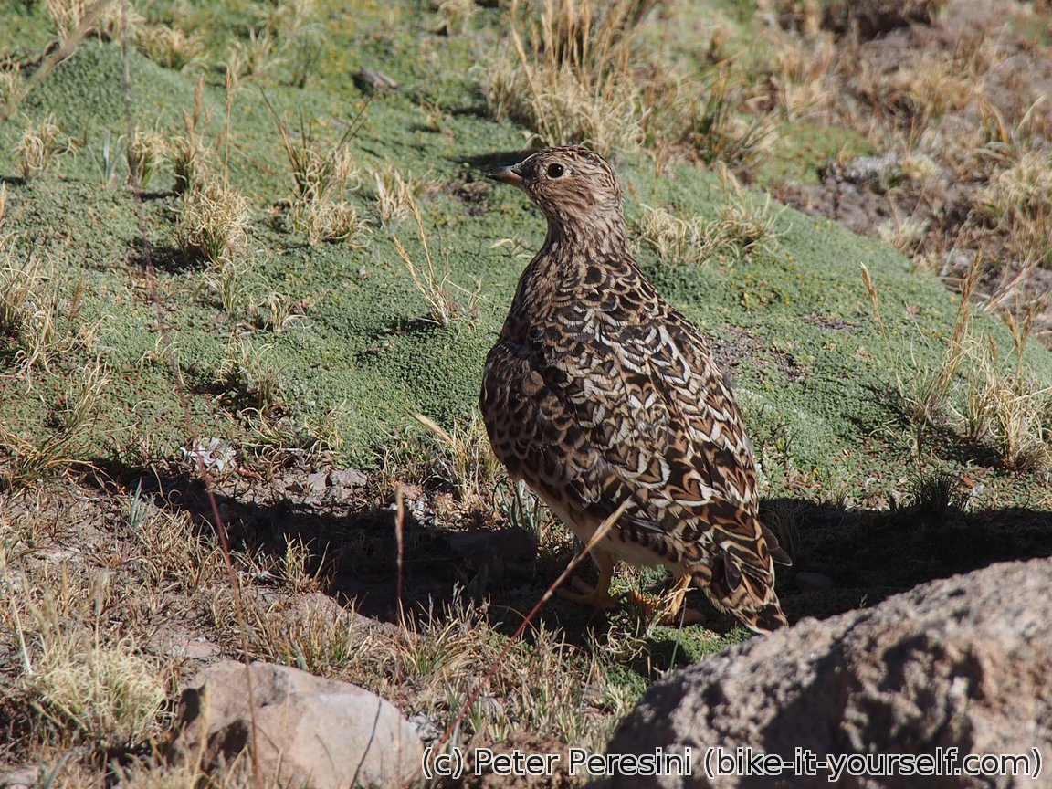
The day starts by finishing the yesterday's climb to a pass. On the way I watch viscochas and a funny type of a bird which either can't or do not want to fly and instead just runs on the ground.
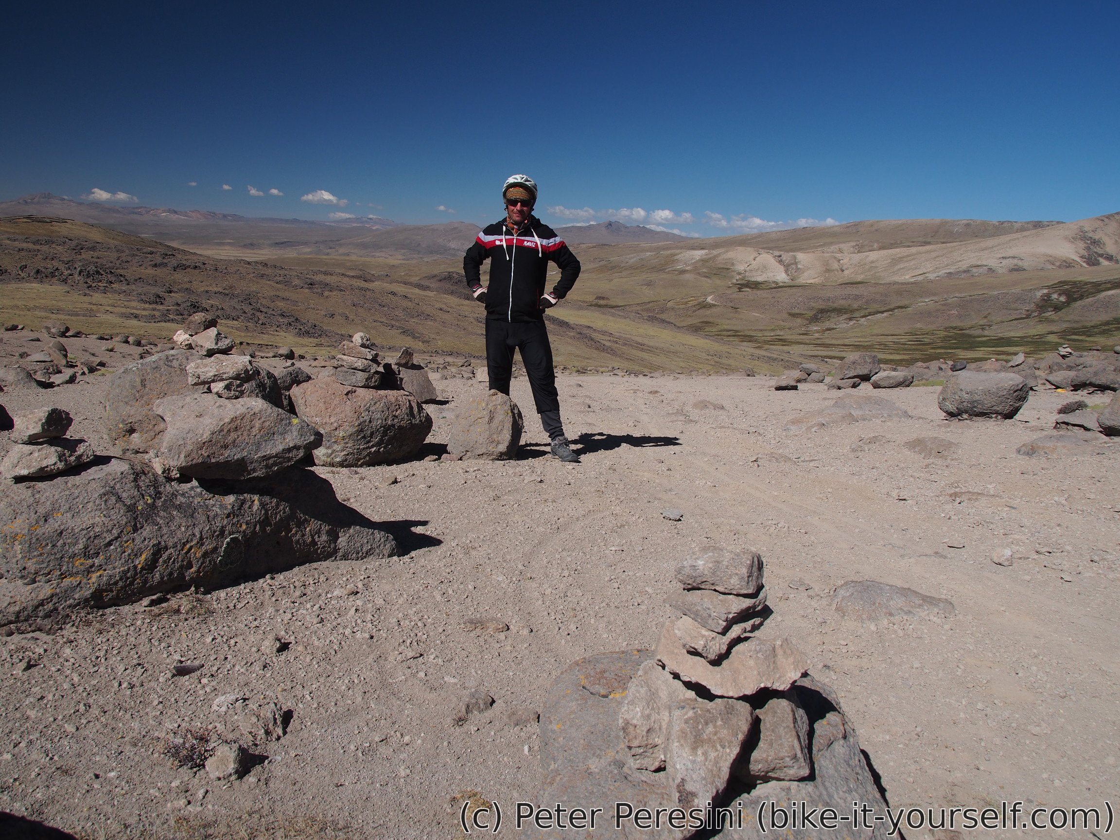
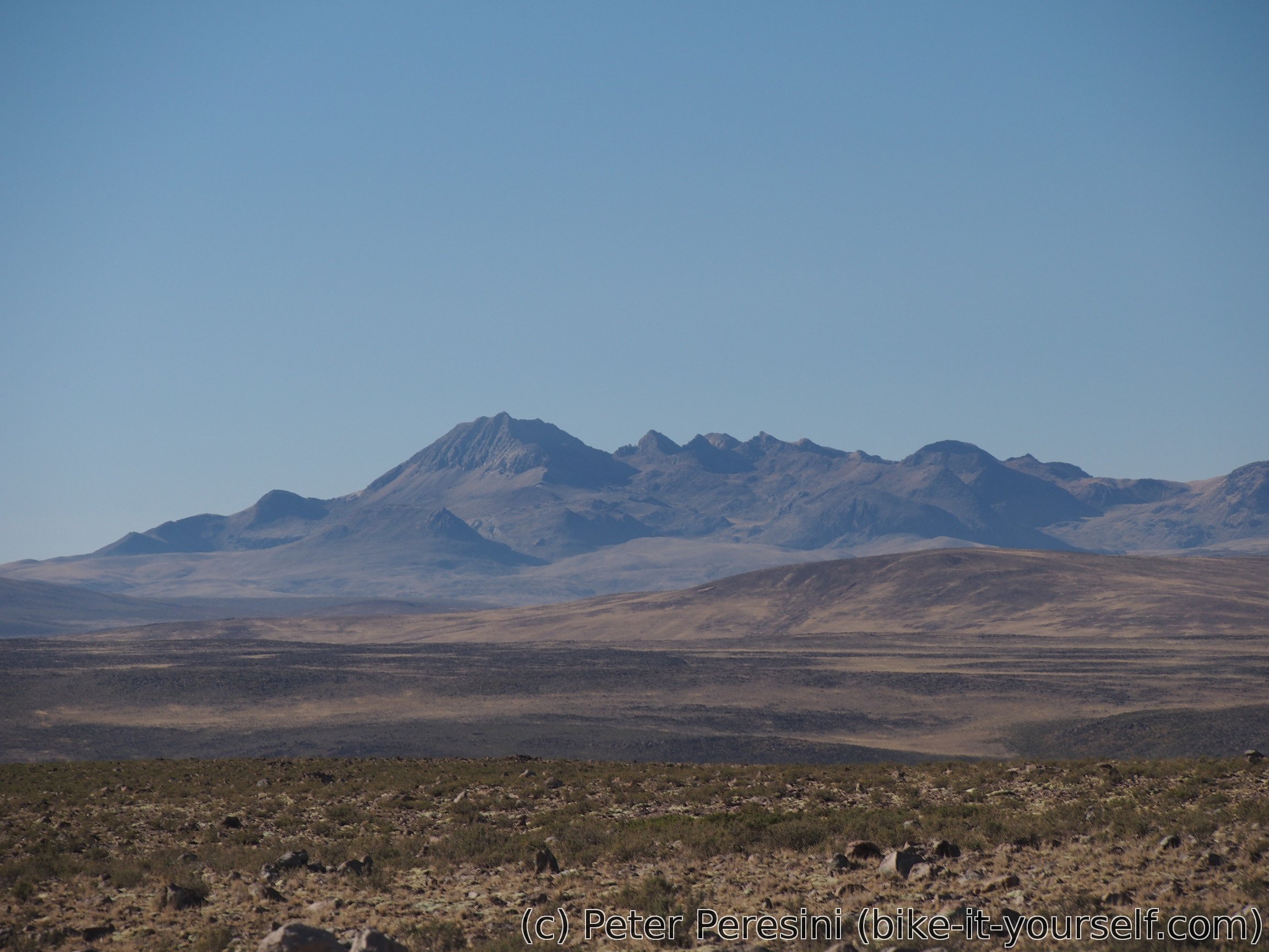
As yesterday I did most of the climbing I reach the pass quite early. It opens new and exciting views. But it isn't exactly hot here so after a quick photo-taking I am ready for the descent.
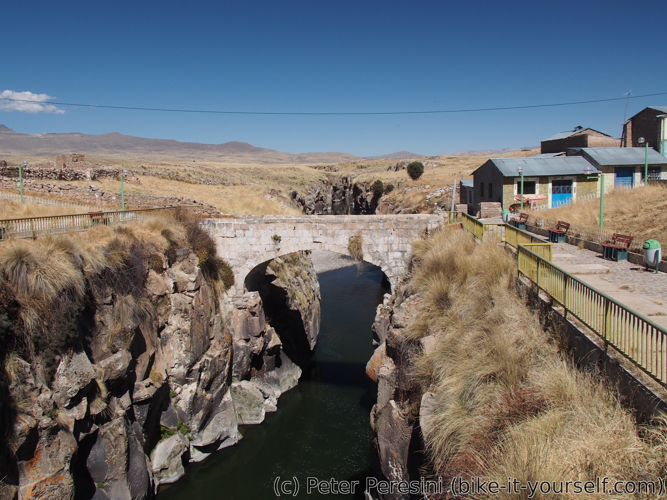
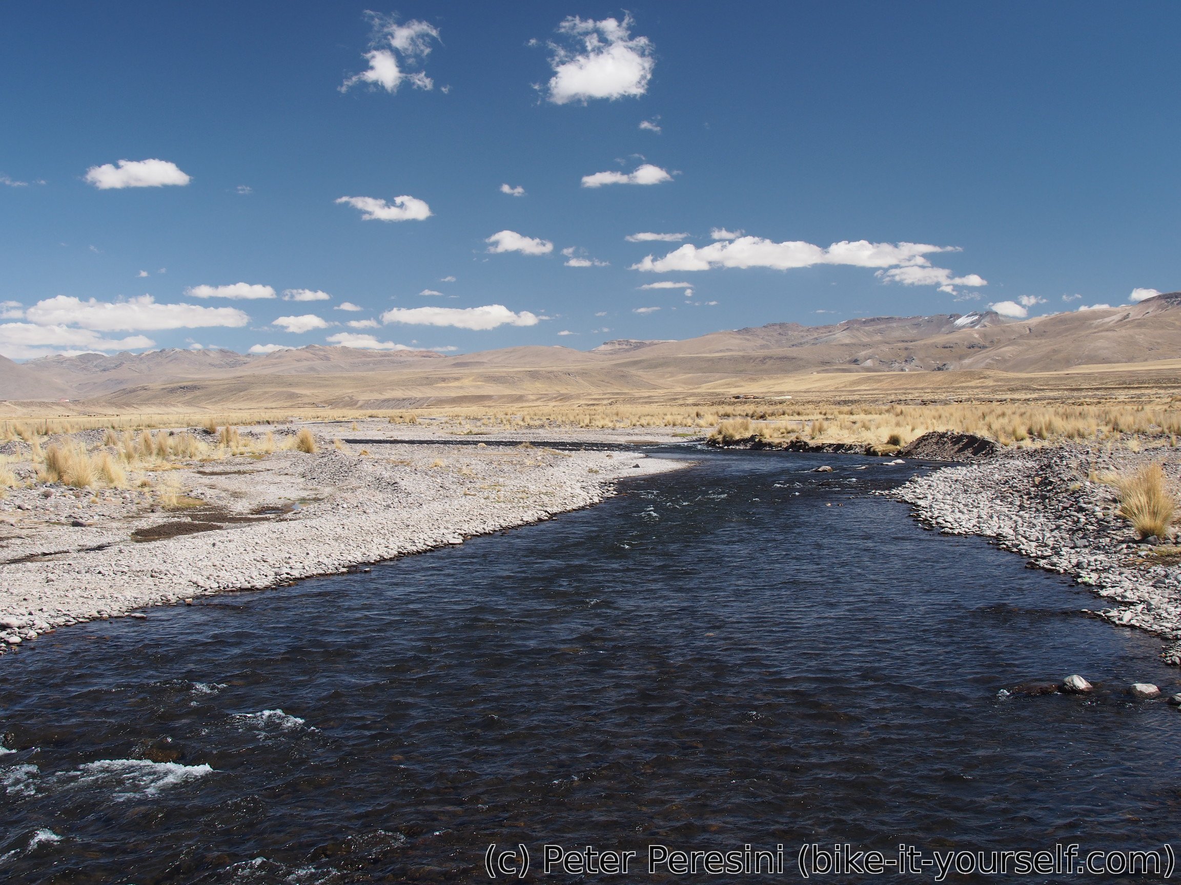
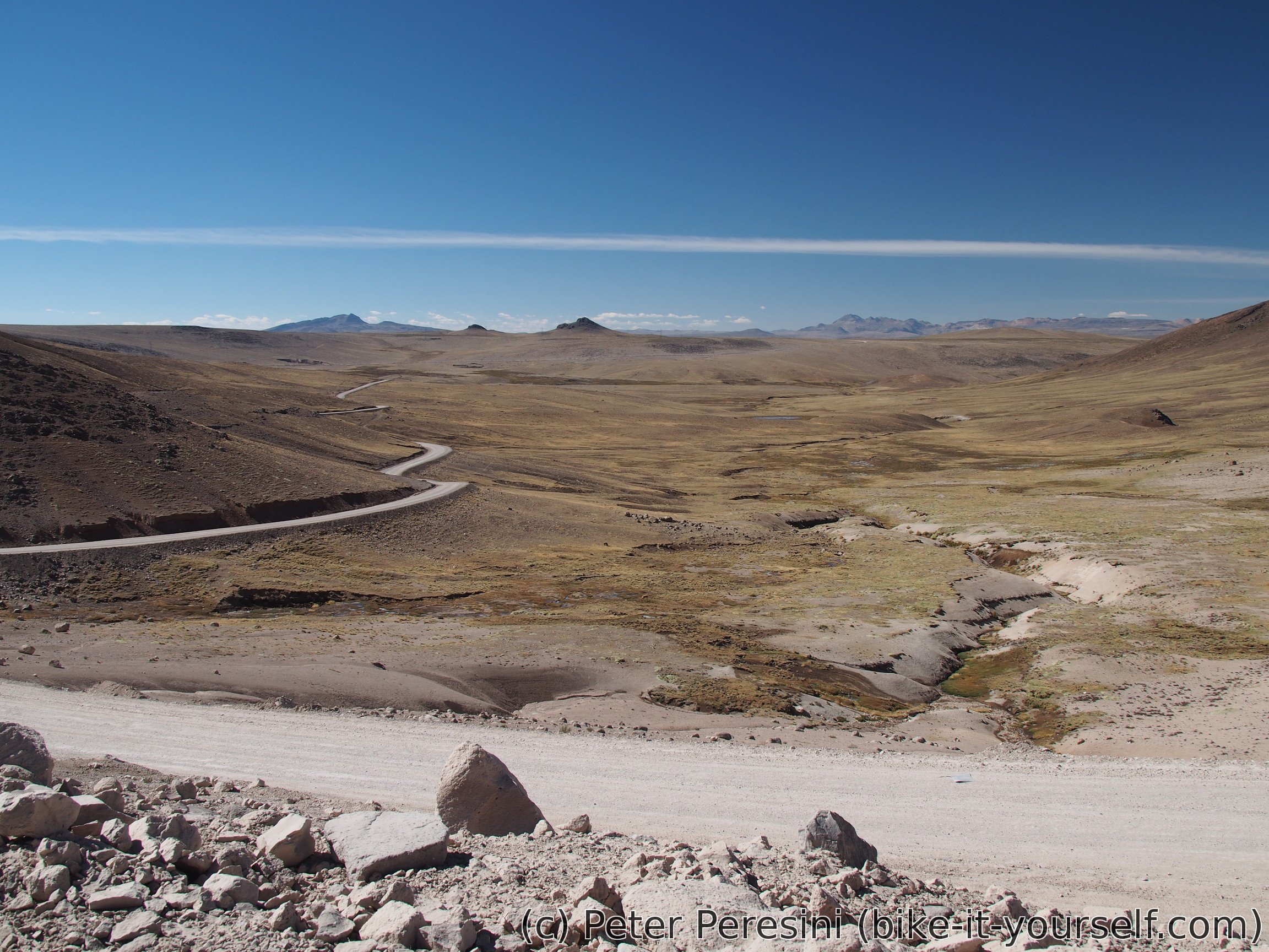
Descent from the pass is slow as the road is in a crappy condition. Thus it comes as a big relief when I finally rejoin Rio Apurimac in a wide valley and cross it just to join the road from Chivay to Caylloma.
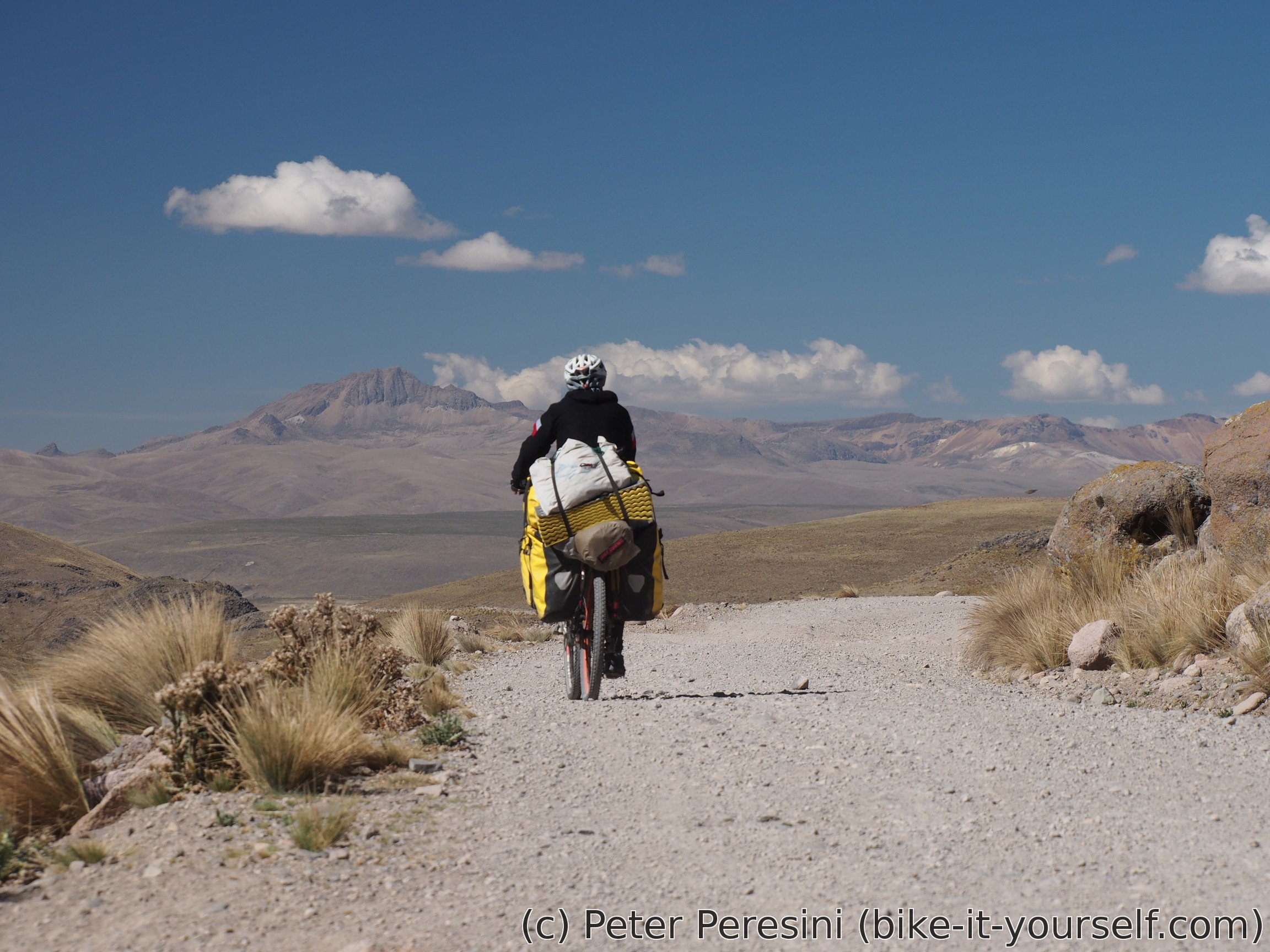
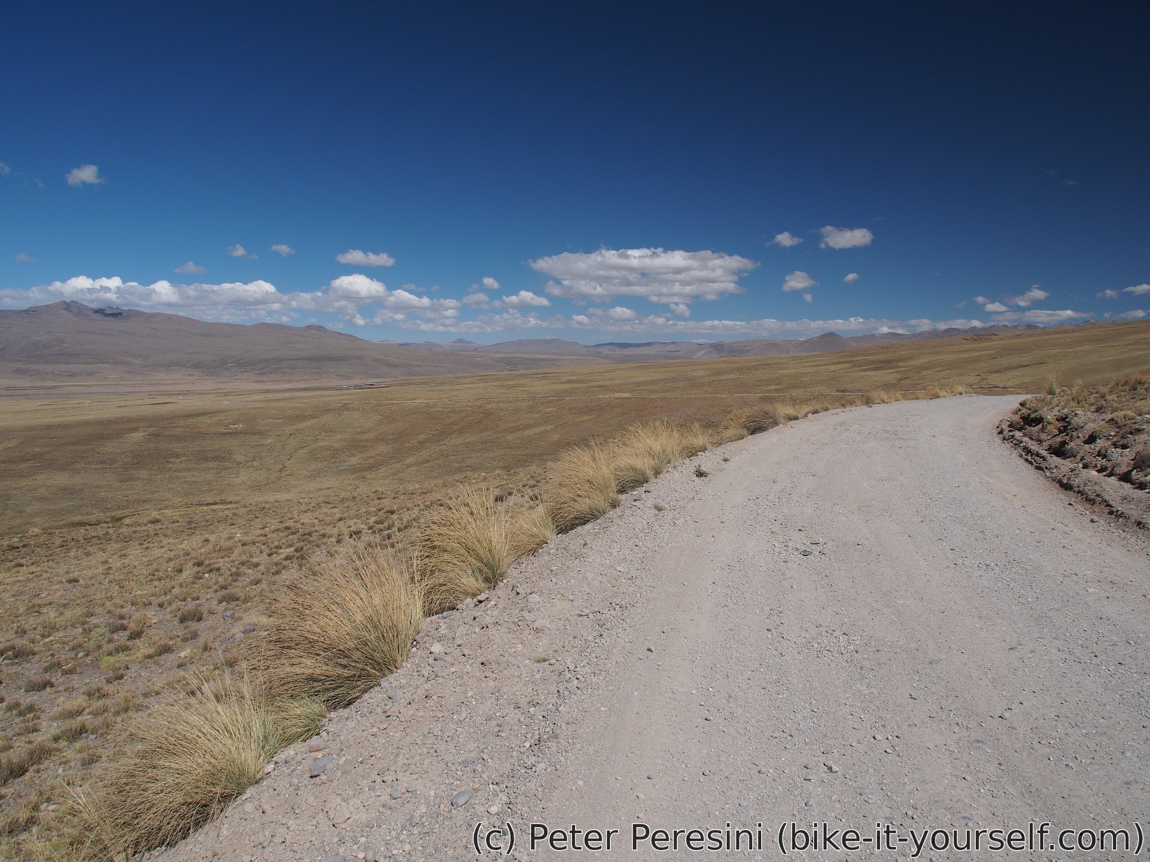
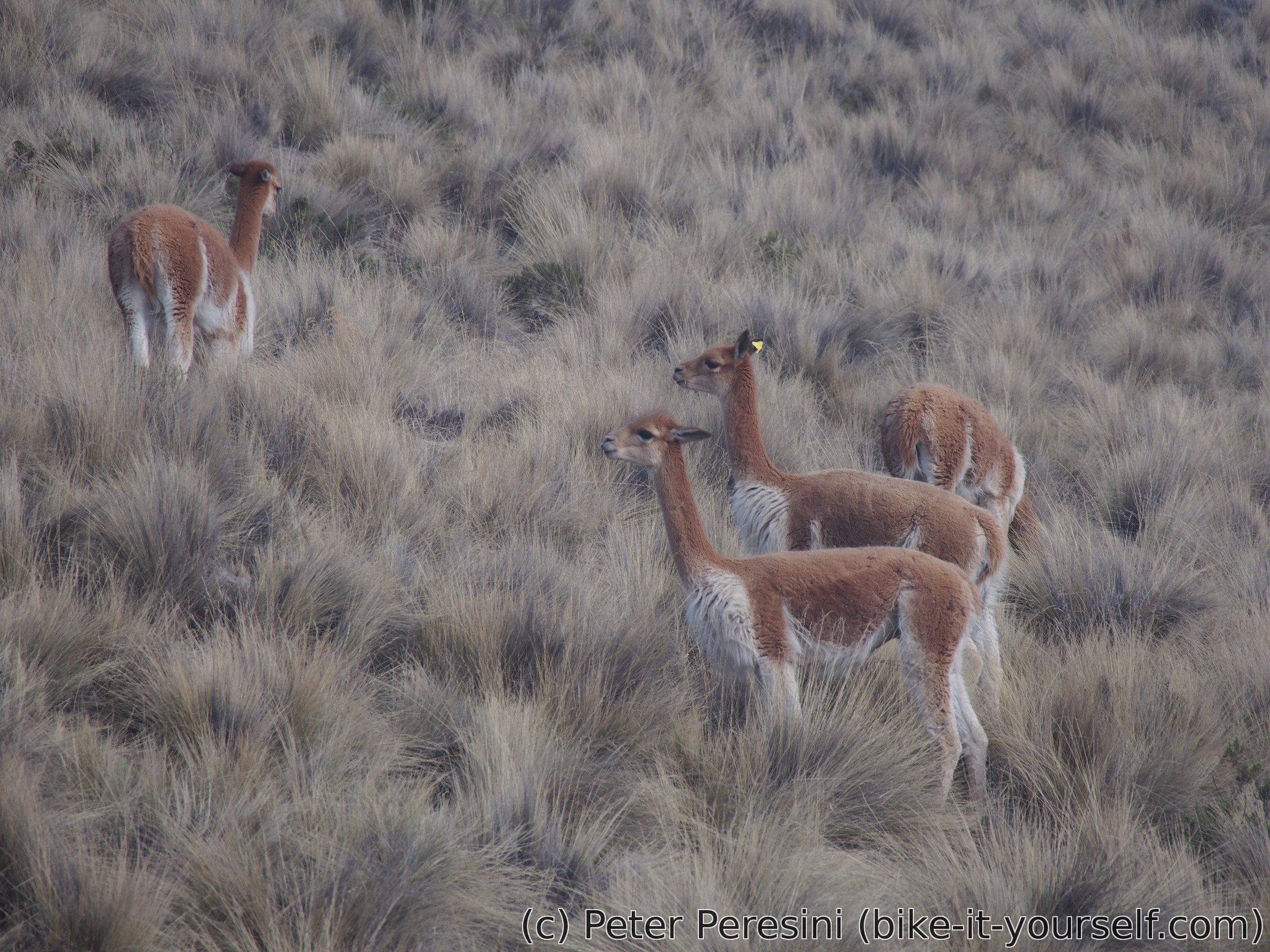
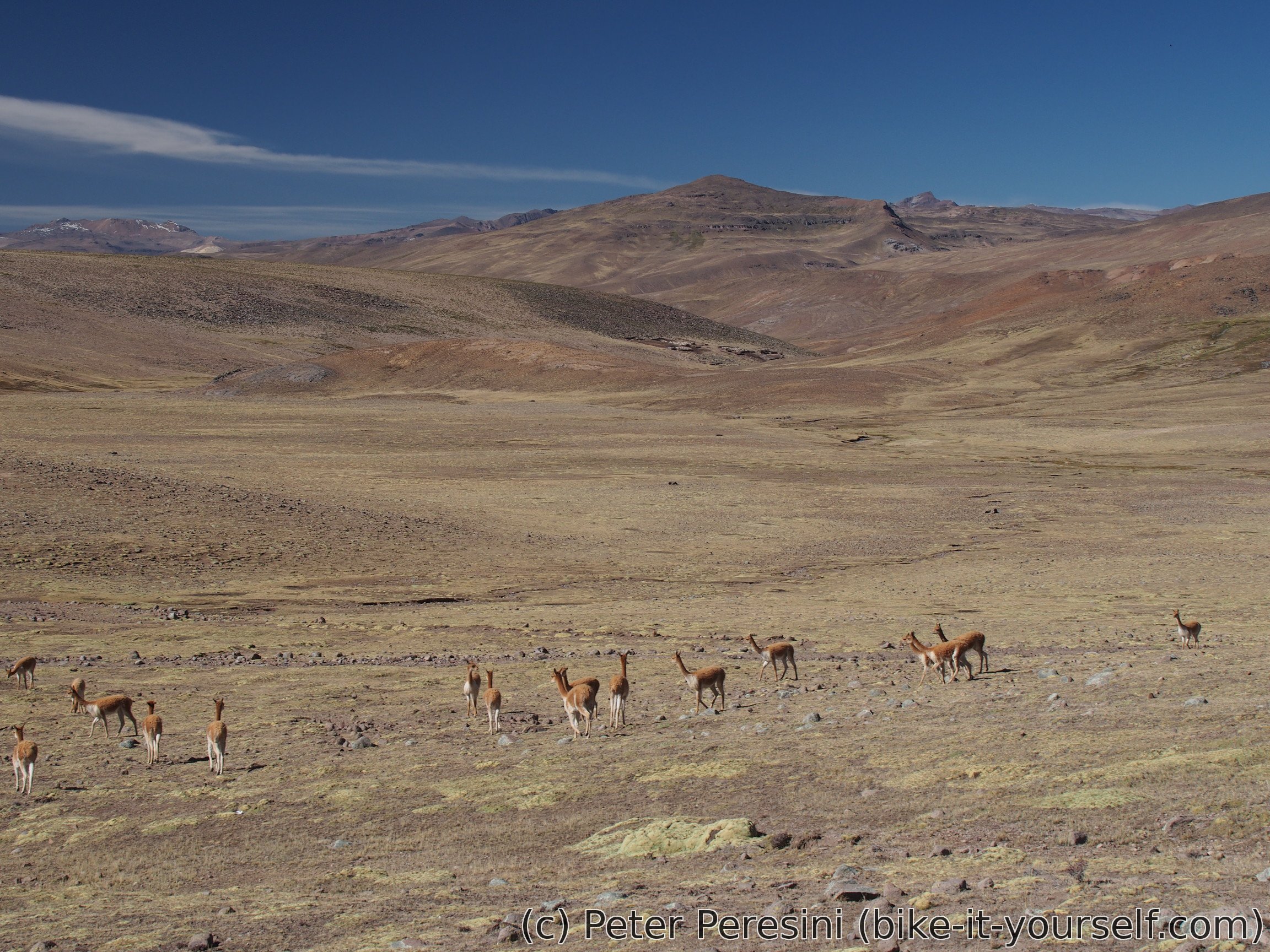
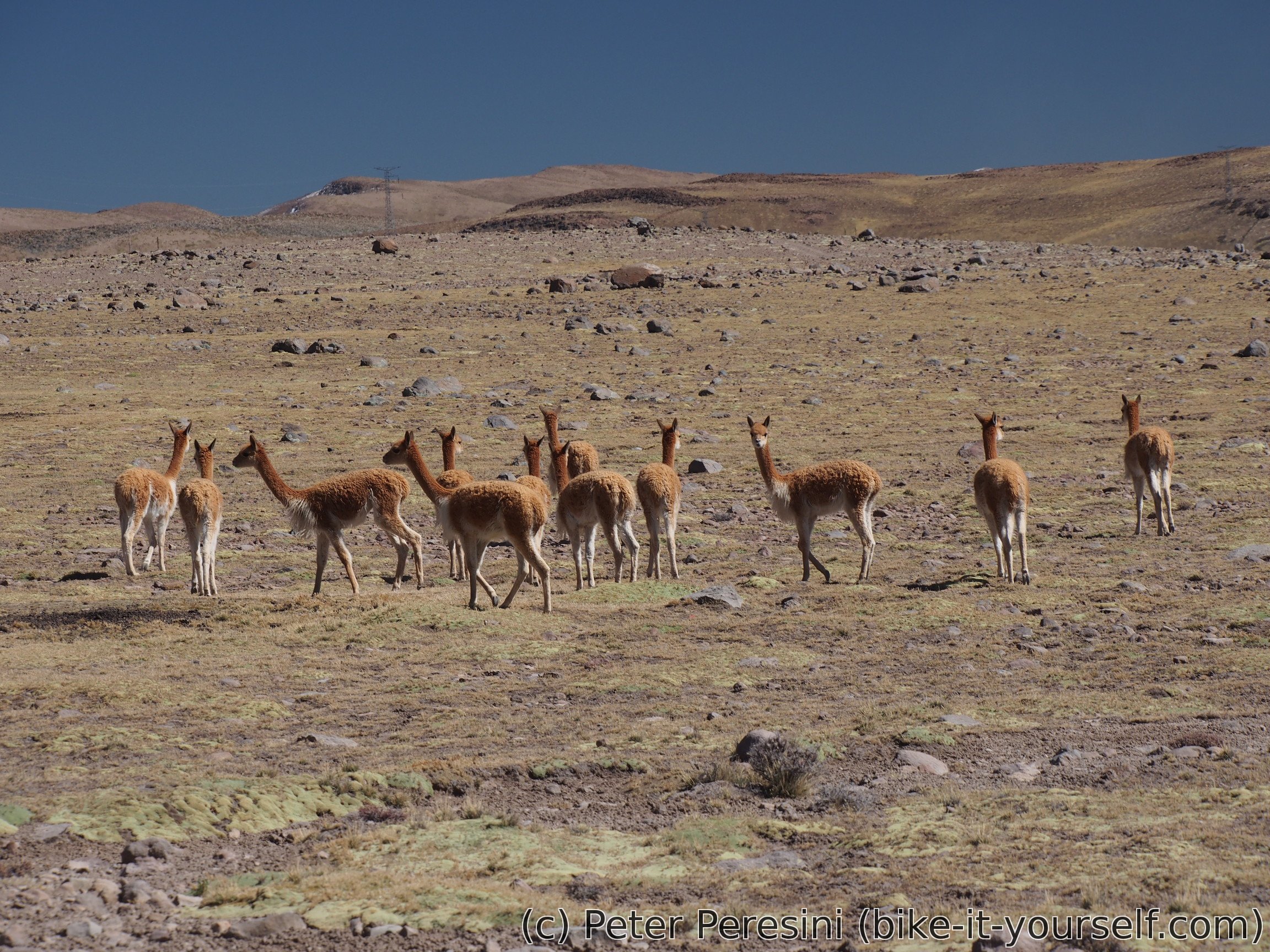
As I reach Caylloma quite early to finish the day I find some comedor to get lunch and then continue on towards Tolconi. The road first continues in the valley around Caylloma until it decides to turn into a side valley and climb out of it. The climb follows a relatively dusty road with some vicuñas quickly running away once I get near. Apart from the altitude I am also attacked by frequently strong wind.
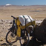
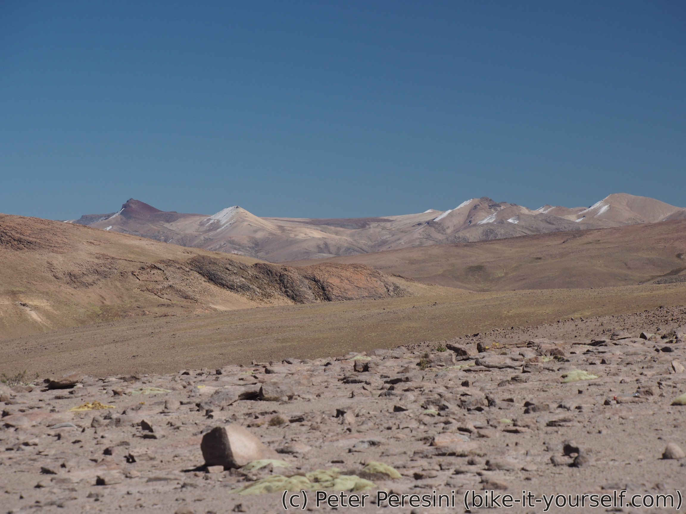
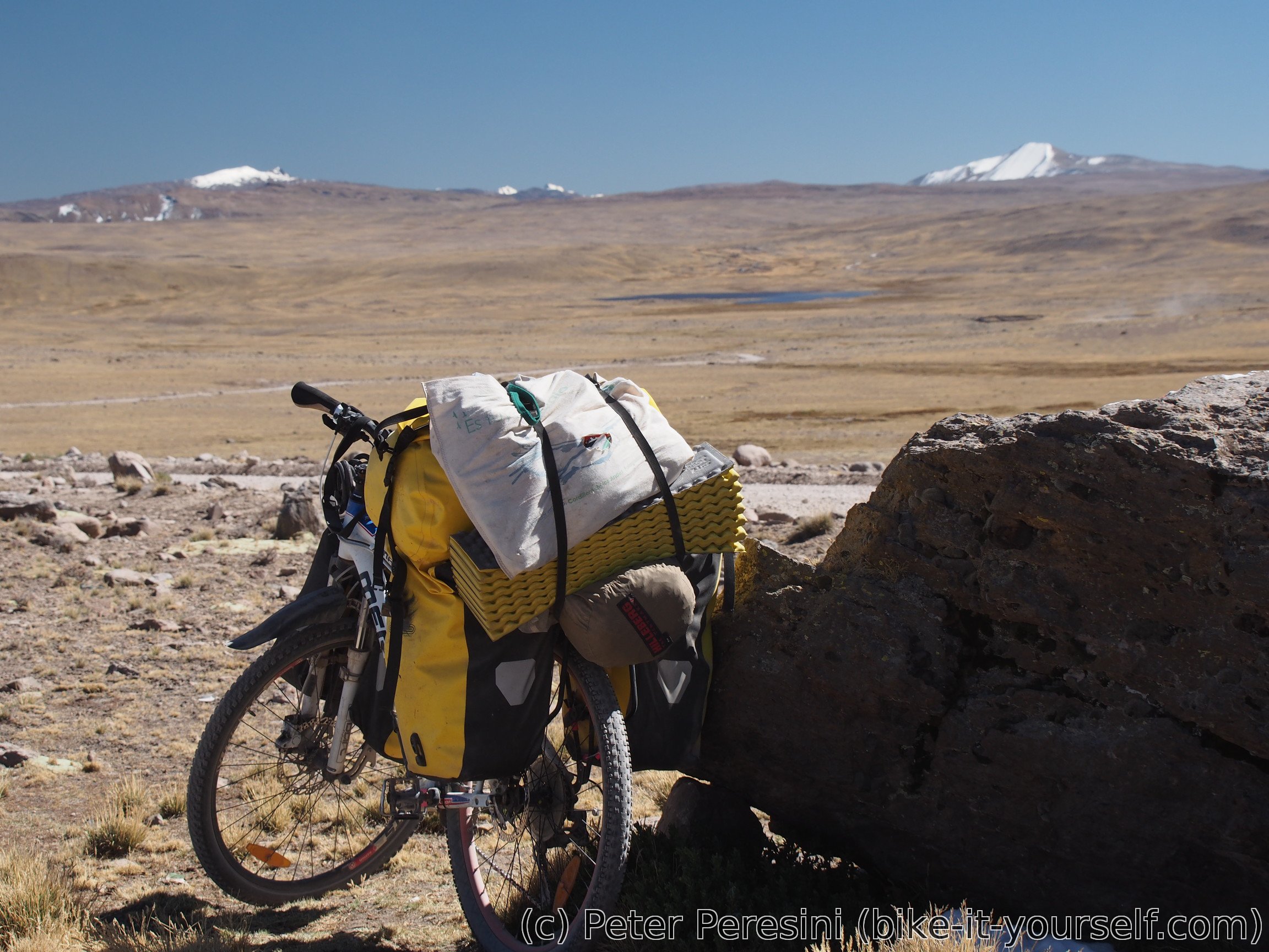
The climb also marks the start of my epic 200 kilometer long journey all over 4500 meters of altitude. Which is to say I am going to camp in a real harsh conditions -- when I finally find some place which seems to be flat and at least a bit out of the wind I am already at the height of 4640 meters. I am definitely expecting a cold night.


July 7
Unsurprisingly, the night at altitude of 4640m was quite cold. As a bonus, for some unknown reason my mobile died just after two days so I am performing a quick charge through my solar panel. While the phone is charging I am debating whether it is going to be an easy or a difficult day -- I have either 30 kilometers to Tolconi or 60 to Arcata (there is no point in camping inbetween because these are lowpoints in the universally high route).
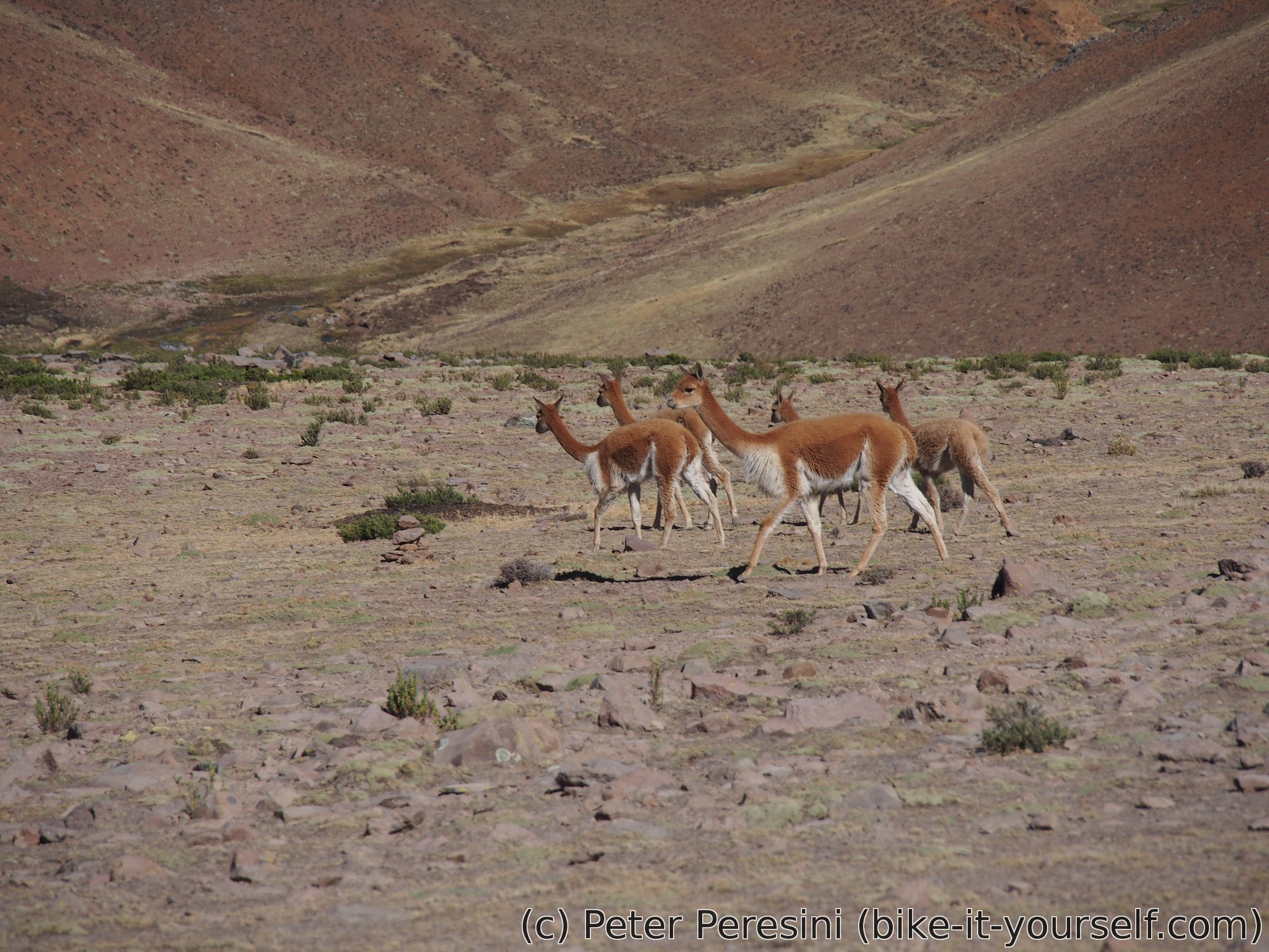
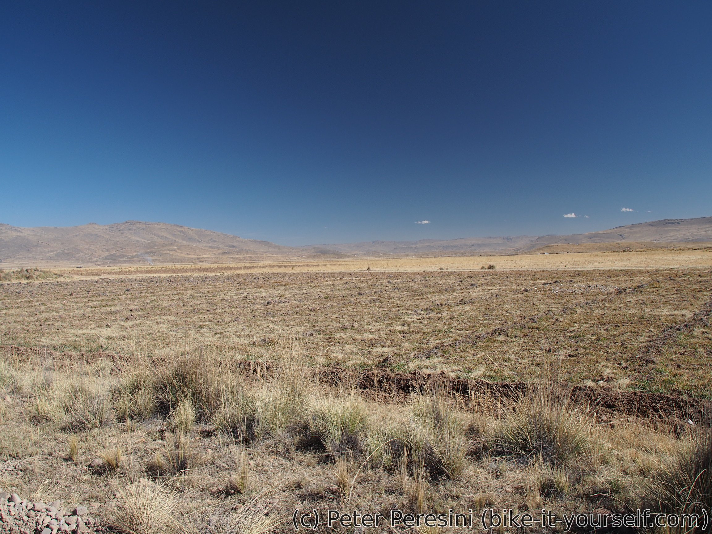
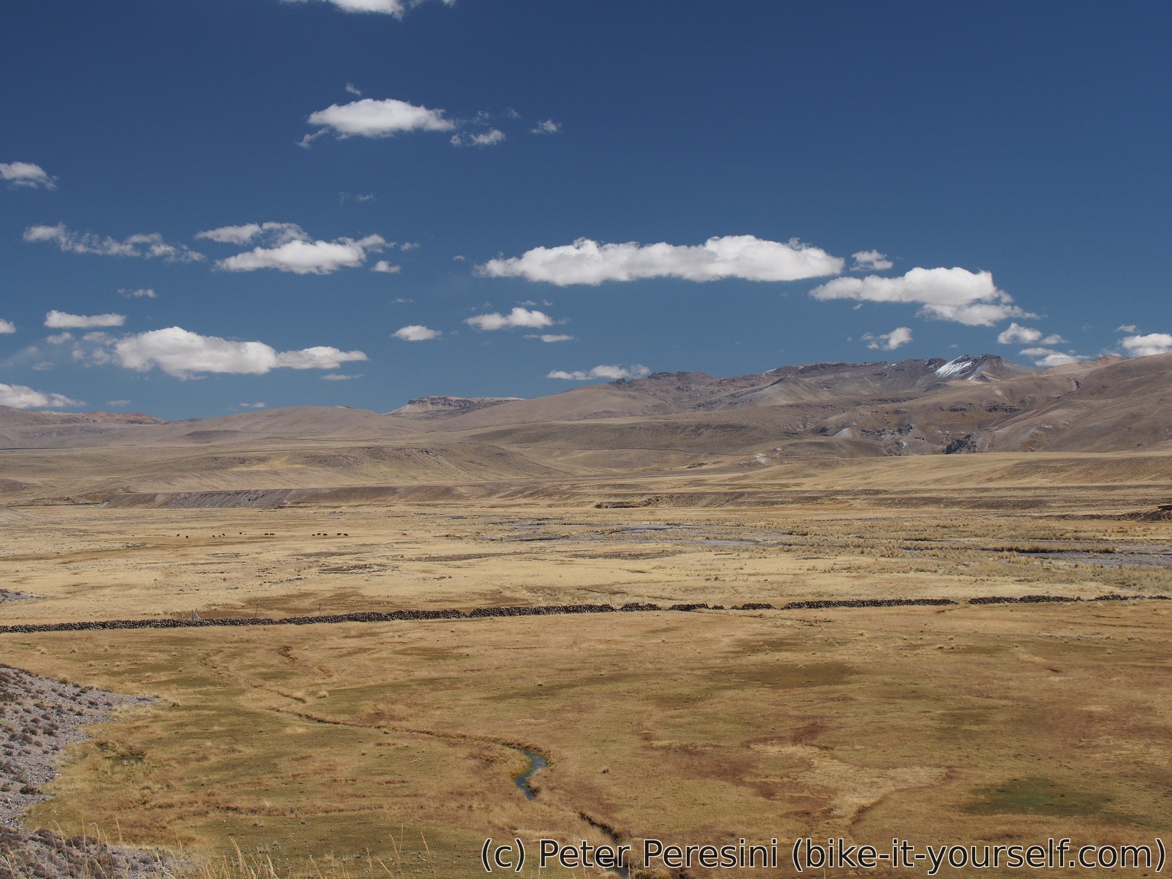
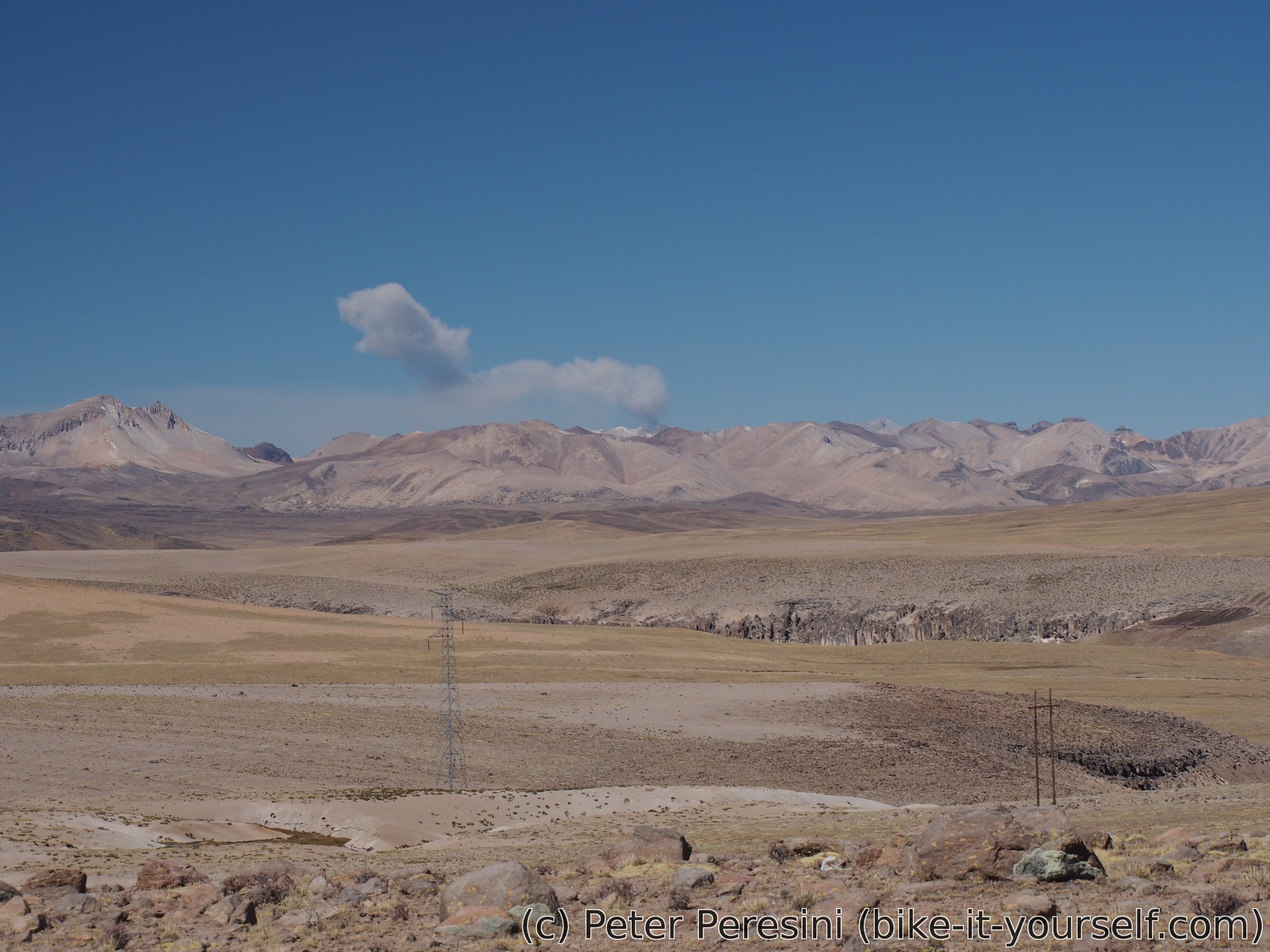
Today's road goes over alti-hilly terrain. Right from the morning I can see a lots of vicuñas. The road climbs through a beautiful volcanic-looking part only to start really undulating.
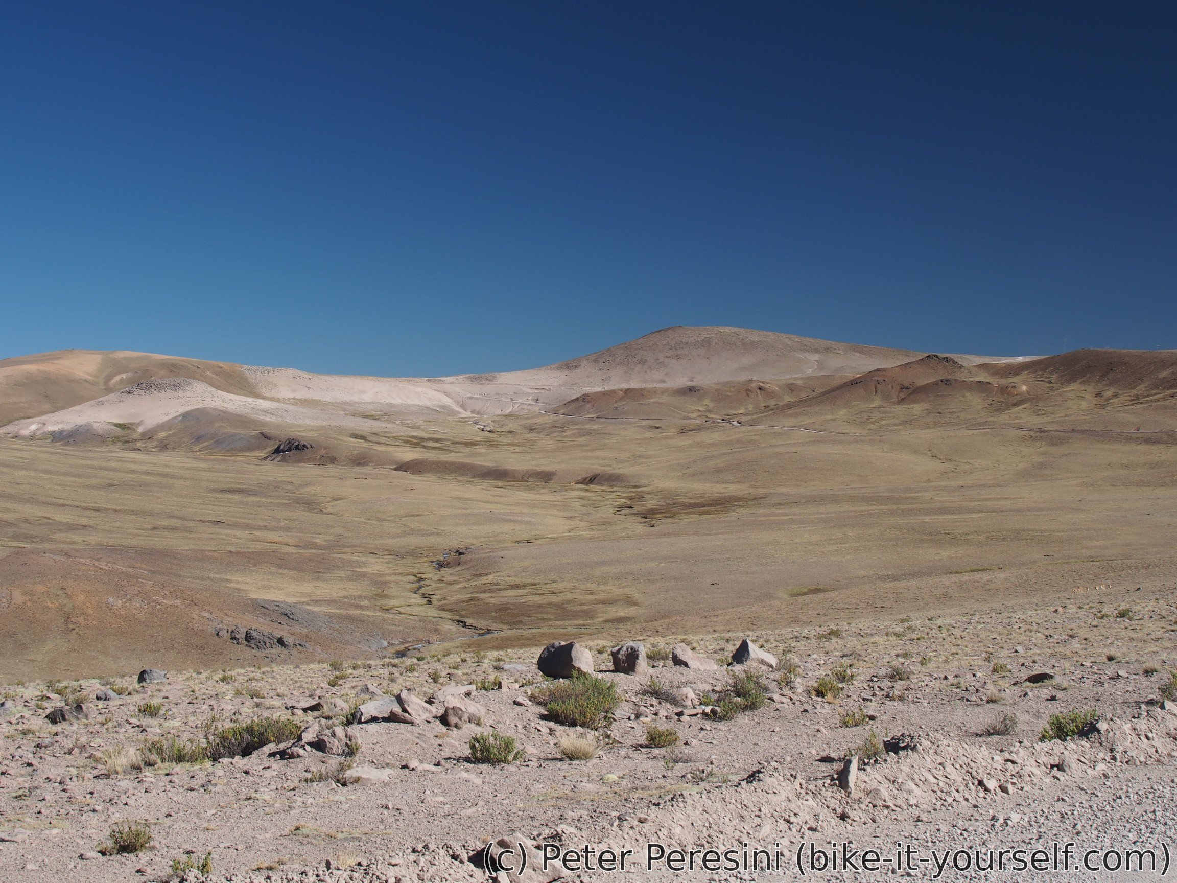
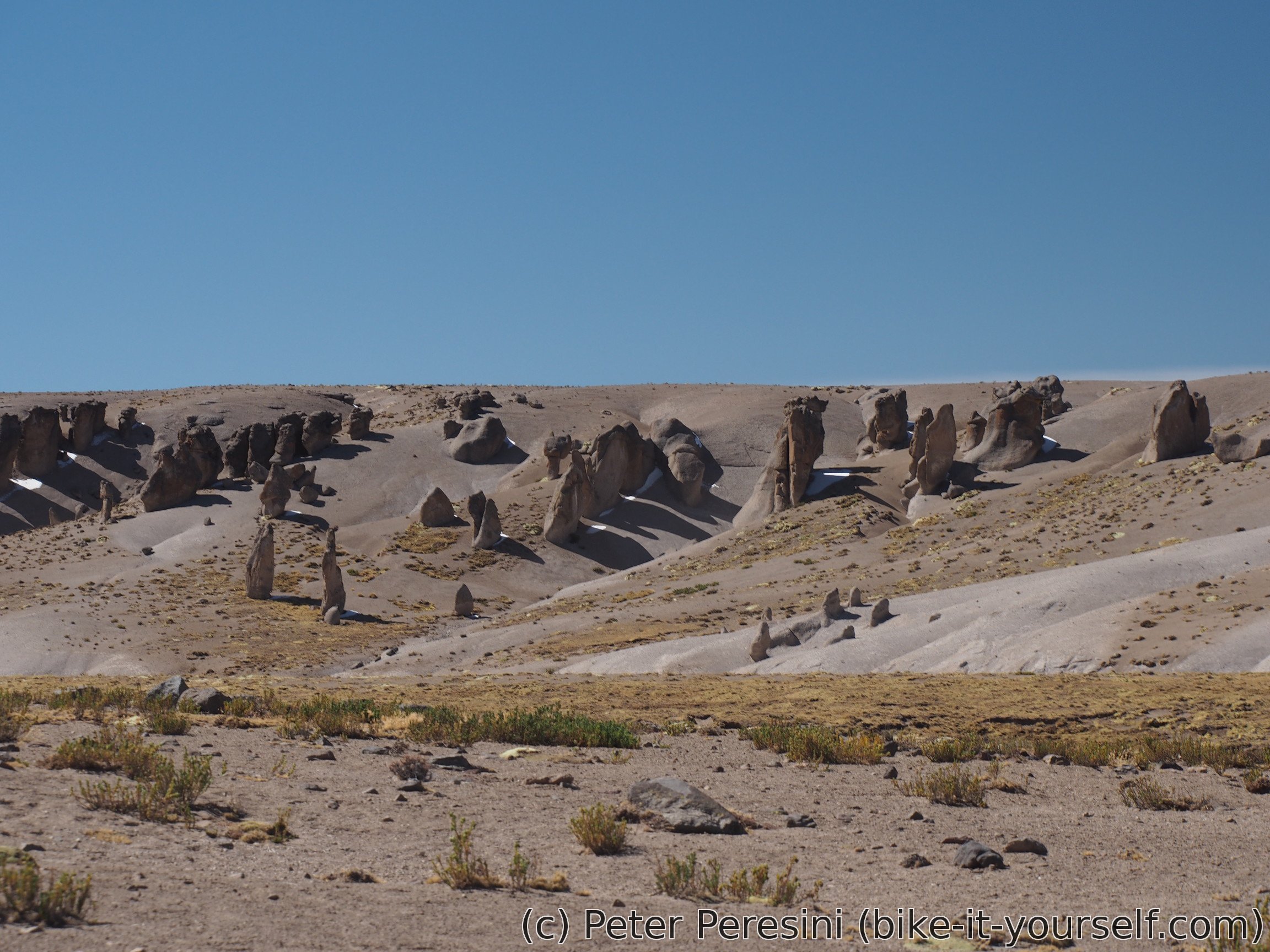
As undulations continue my hopes of quickly reaching the pass are diminishing. Instead I have to endure a nasty cold-blowing wind. But the scenery of hills around is nice. And there are even some interesting rock formations.
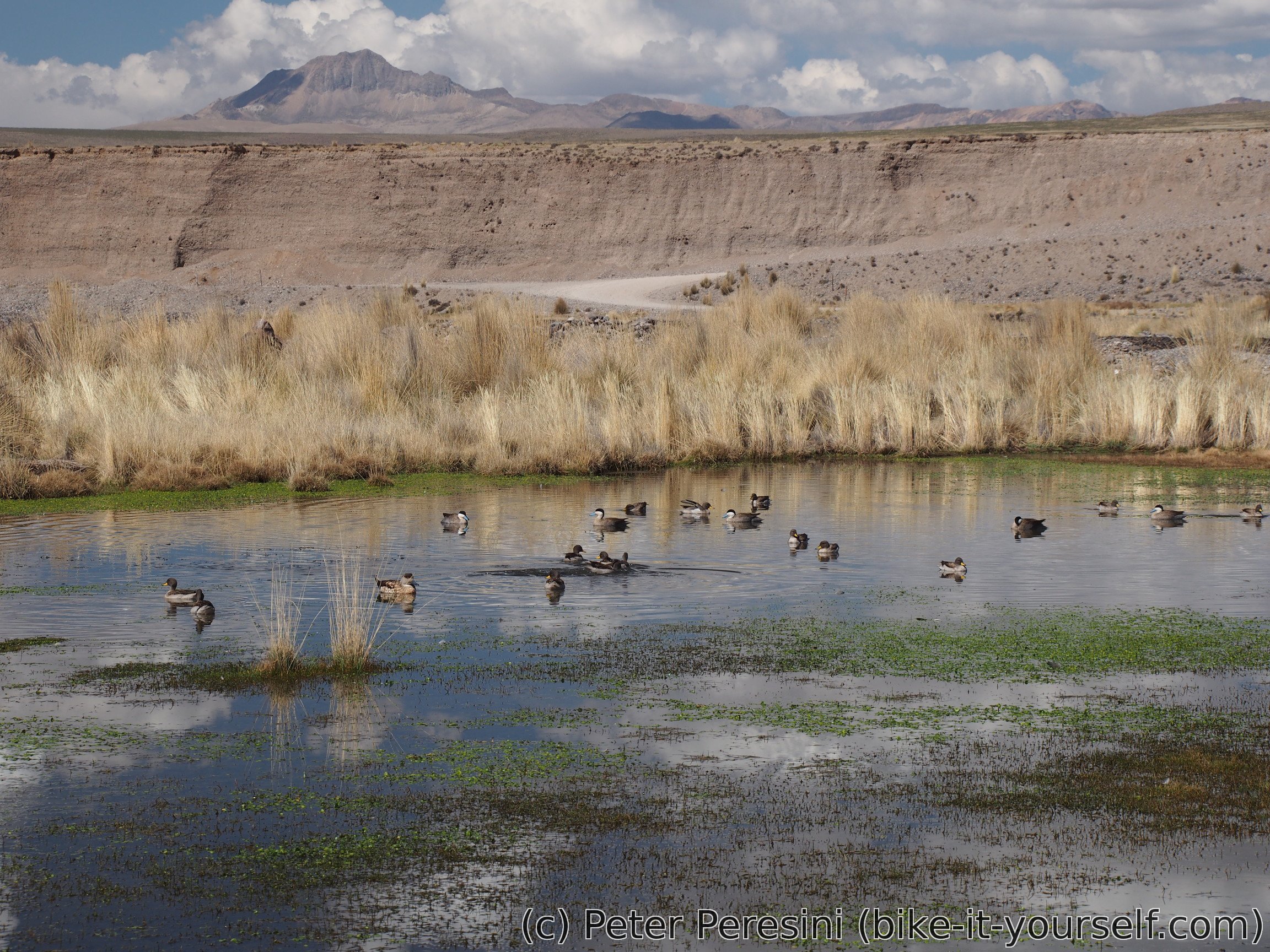
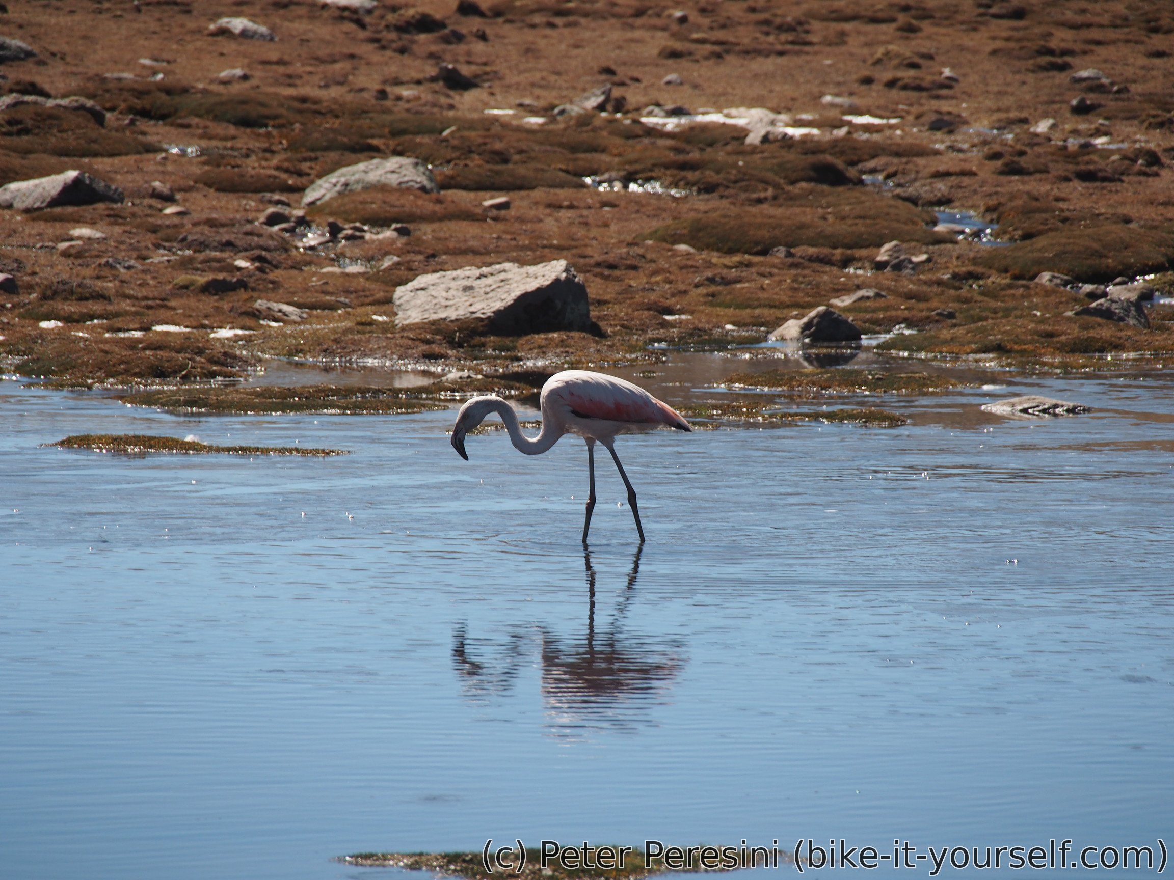
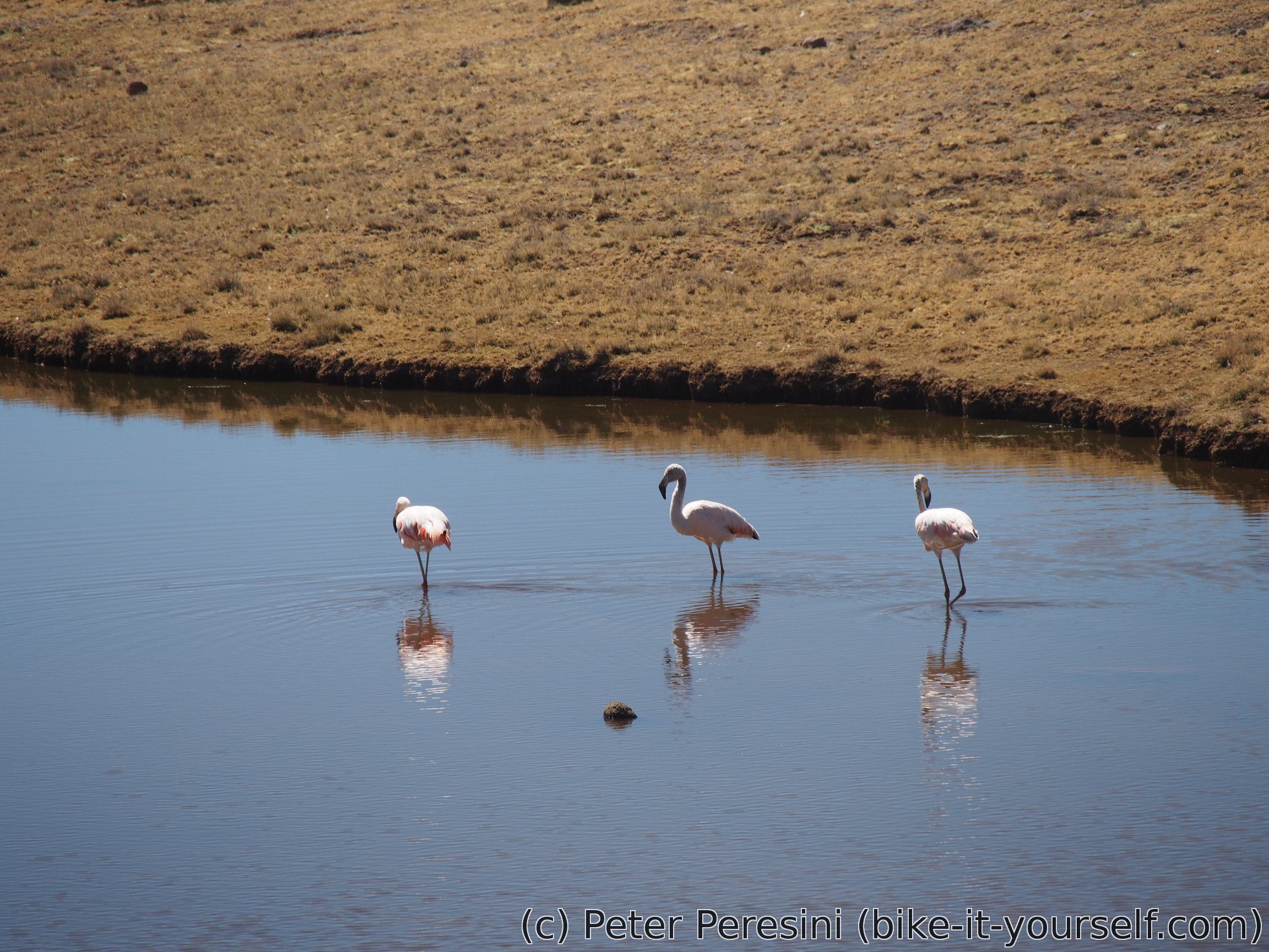
When I finally reach the pass I can see big lakes on the way down. This means a chance to see flamingoes. I really don't get it how these birds can stand in the freezing cold water.
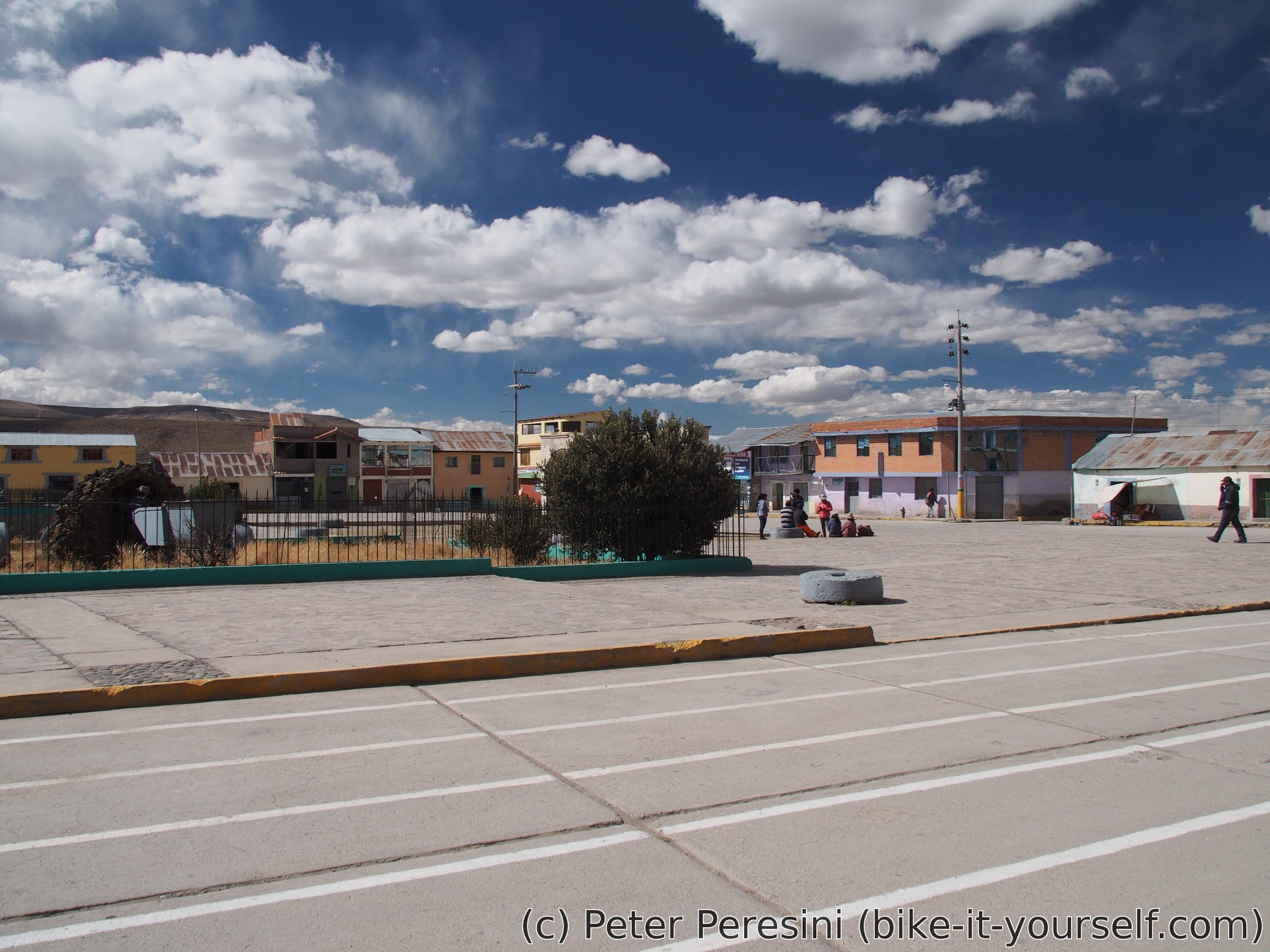
I end up in Tolconi just at the wrong time. It is already too late to continue towards Arcata. But still very early to stay. In the end I just opt for staying as the village has an accomodation option. There is just nobody around it though. So I spend the waiting time by getting to a local restaurant and having a surprisingly good and non-standard food (shrimp soup was particularly good). When I finally get the accomodation there is another problem -- there doesn't seem to be electricity in the sockets. Oh, no problem, the owner just takes down the current and hotwires the connection before my eyes.
Route
Download simplified GPX of a route here
Stats by activity:
| Activity | Distance (km) |
Ascent (km) |
Pedal rotations (thousands) |
|---|---|---|---|
| bike | 123 | 1.5 | 31 |
| Date | Distance (km) |
Ascent (km) |
Avg. temp (moving, C) |
|---|---|---|---|
| July 5, 2017 | 49.8 | 0.56 | 14.5 |
| July 6, 2017 | 40.7 | 0.63 | 12.9 |
| July 7, 2017 | 32.9 | 0.35 | 8.5 |
Elevation data
The next table is only for cycling activity.
| Grade(%) | Ascent (km) | Descent(km) |
|---|---|---|
| < 2 | 55.6 | |
| < 4 | 16.1 | 9.6 |
| < 6 | 7.5 | 5.0 |
| < 8 | 2.7 | 1.6 |
| < 10 | 1.0 | 0.2 |
| ≥ 10 | 0.4 | 0.3 |
blindness cialis levitra Badype <a href=https://bansocialism.com/>buy cialis generic online cheap</a> Nurify Can I Crush Amoxicillin