
Cusco to Cotabambas
 Share:


Now with the obligatory sightseeing in Cusco done as well as done with the hiking "holiday" my plan is to return back to some good mountain routes. But first I need to get back from Cusco to Abancay.
July 28
I hoped to finish all my business with Cusco today. Unfortunately, it seems like I have a bad timing and it turns out to be some holiday so I need to wait till tomorrow with some things.
July 29
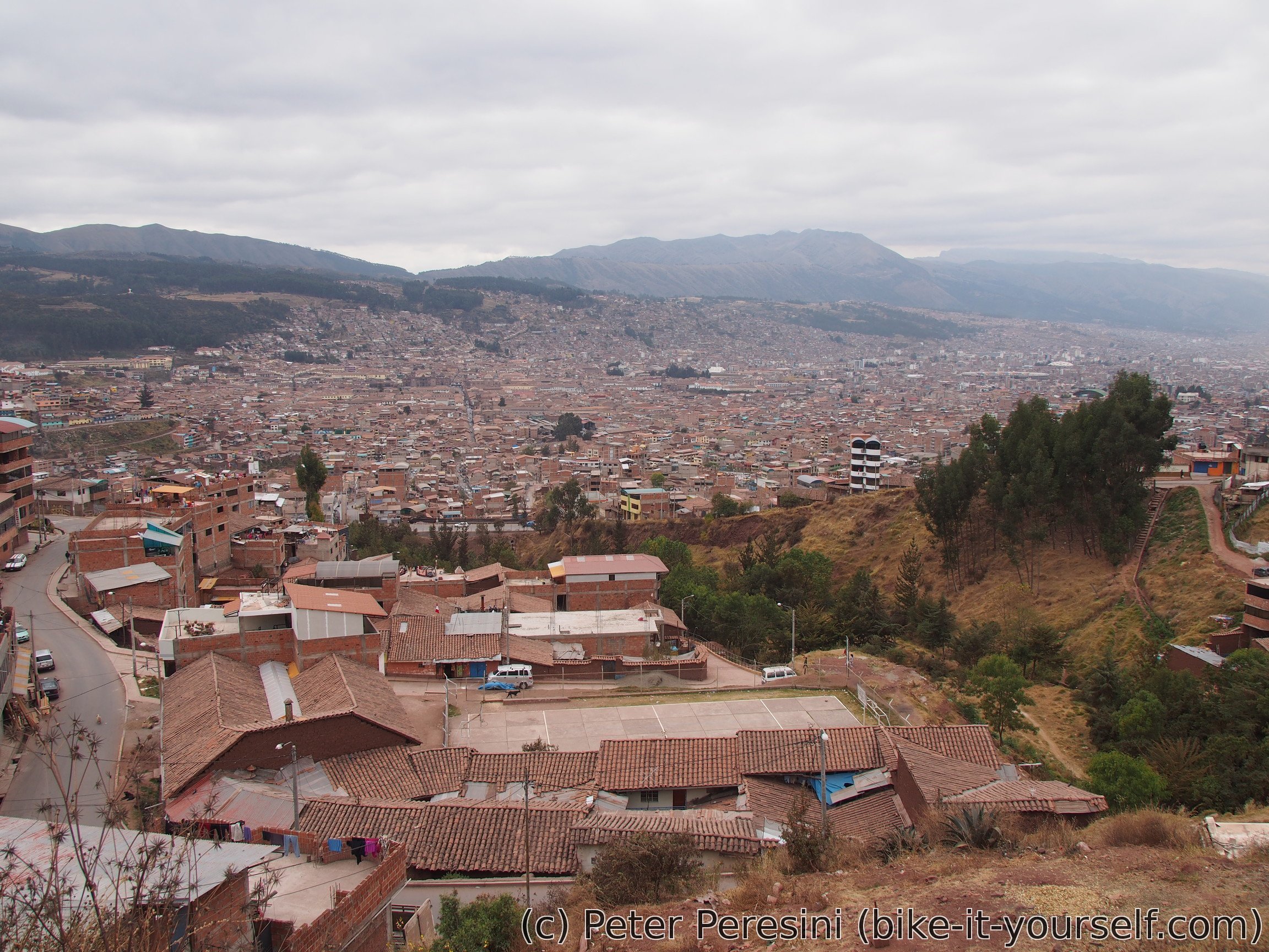
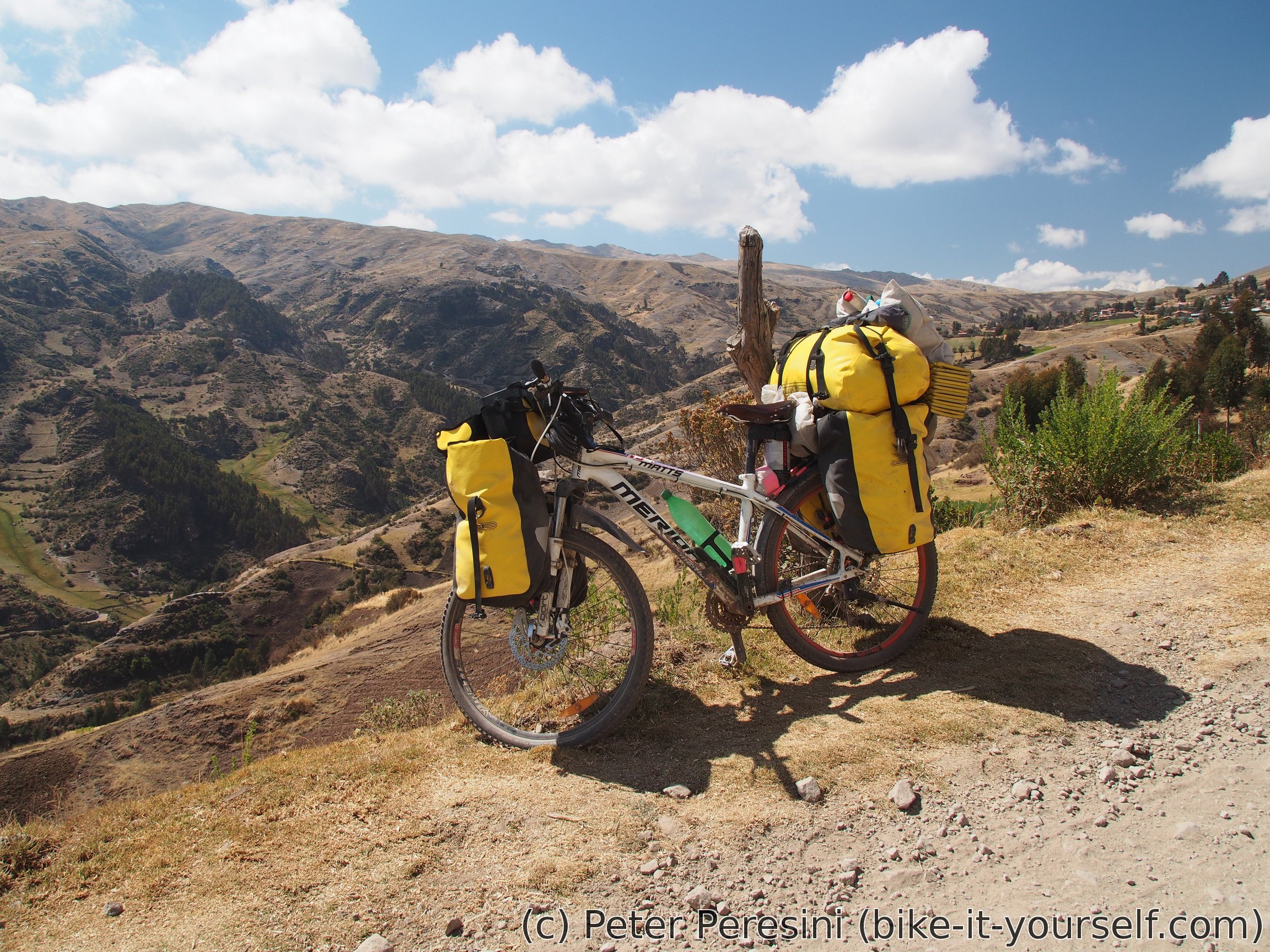
Before I can leave Cusco I need to pay a visit to Cruz del Sur. After a bit of waiting my package to myself in Abancay is sent and my bike will be lighter by a few kilos. Next is a visit to supermarket and breakfast. When I finally set off from Cusco it is already 10am.
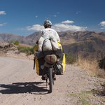
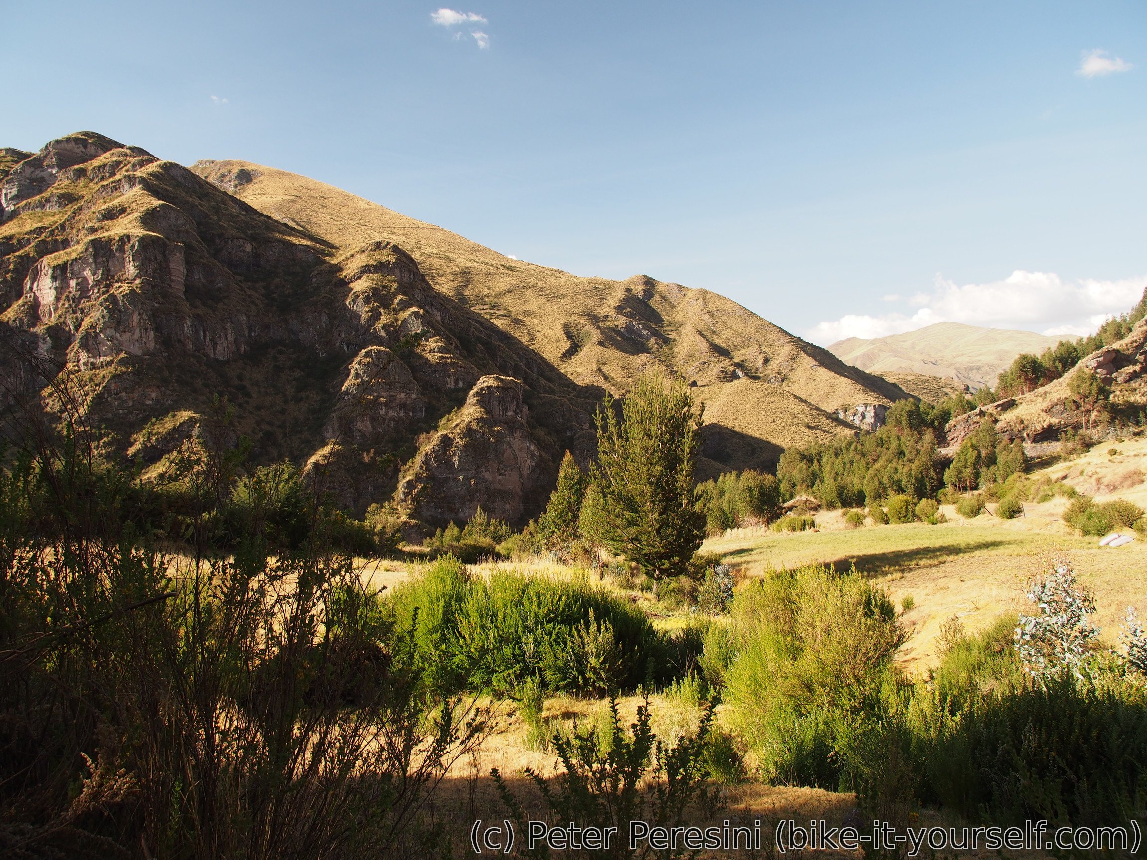
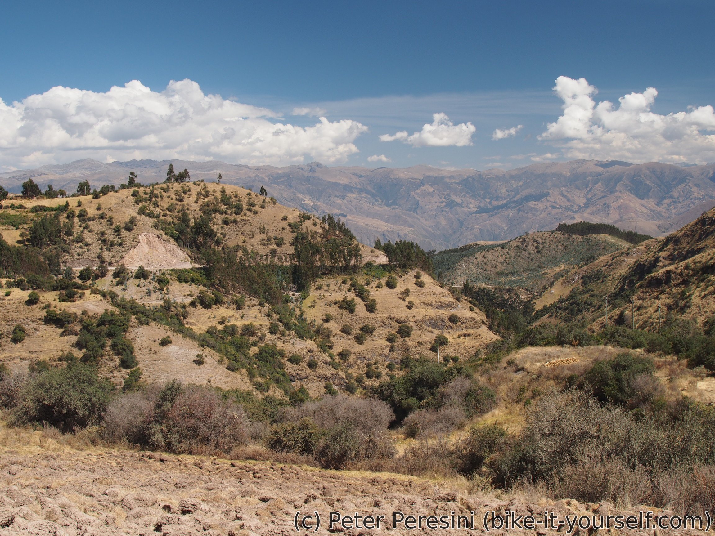
The day starts in a traditional sense -- by a climb. After leaving pavement and traffic of Cusco behind me the road climbs steadily and the weather is cloudy enough to prevent me from overheating. This chances with a pass when the Sun starts doing its job.


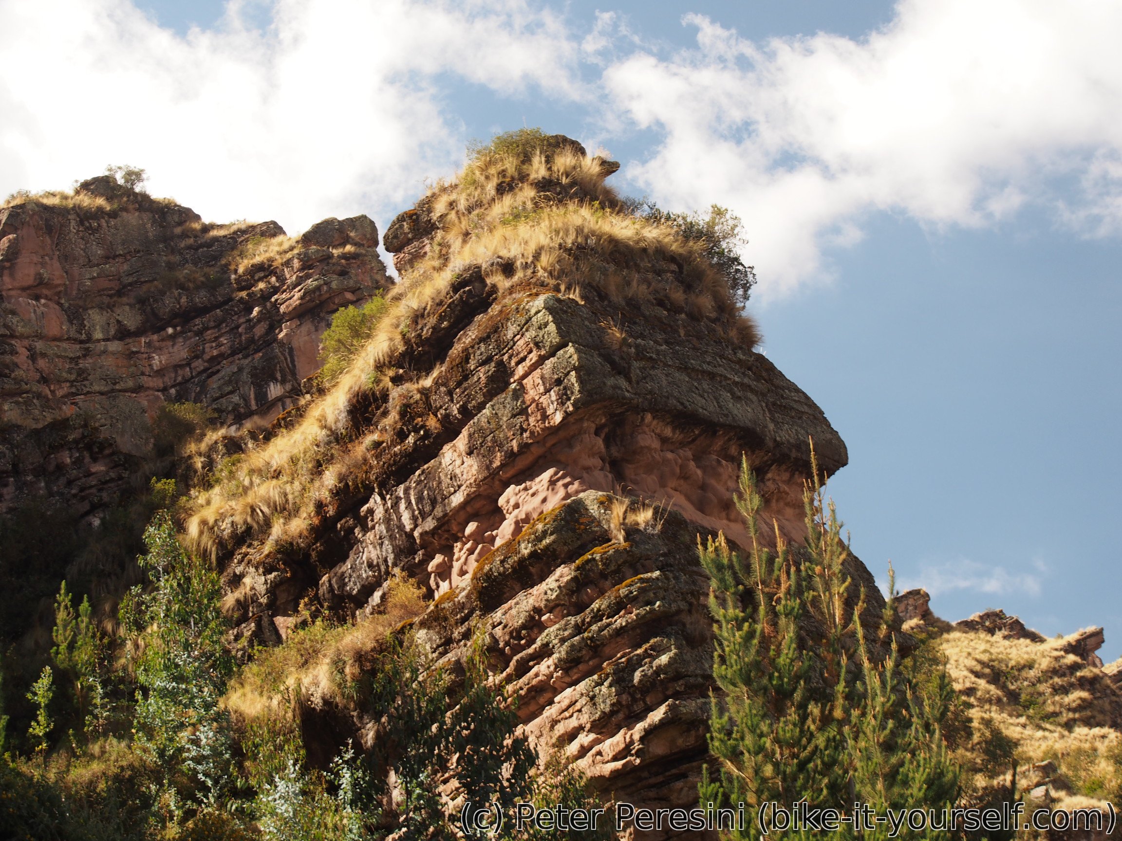
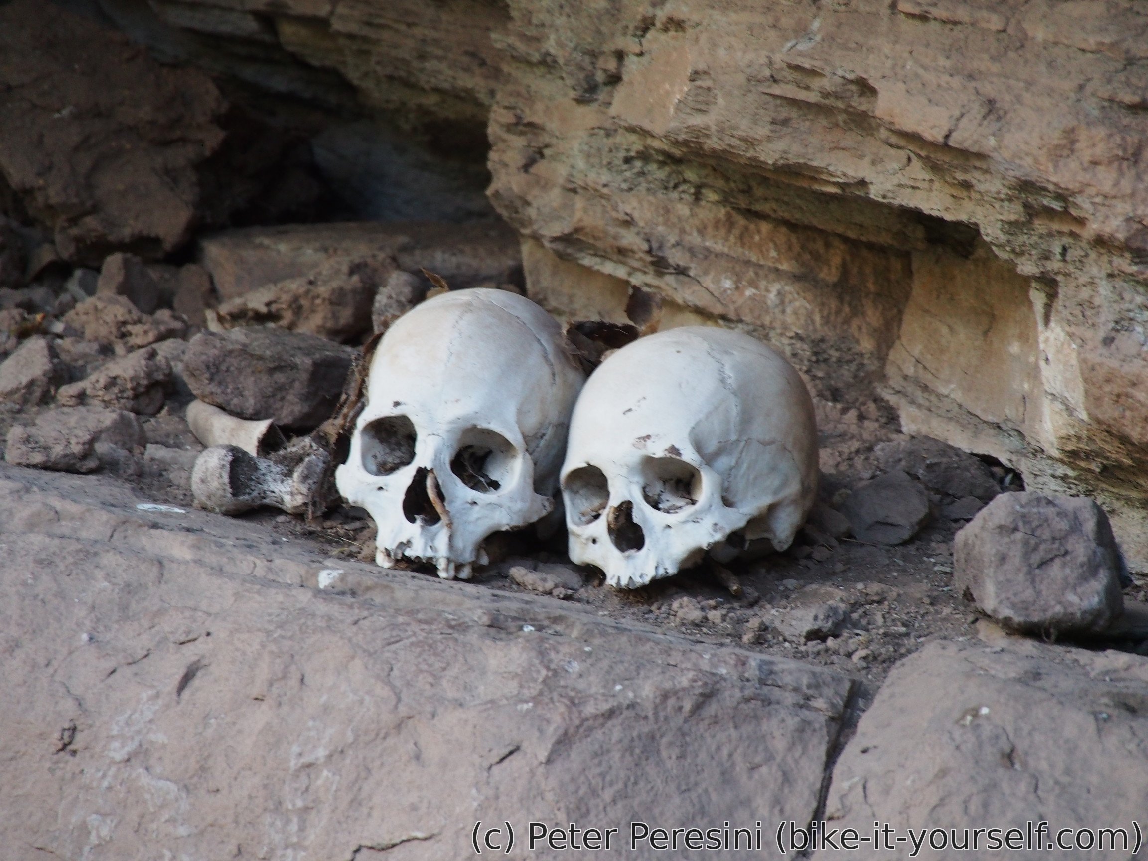
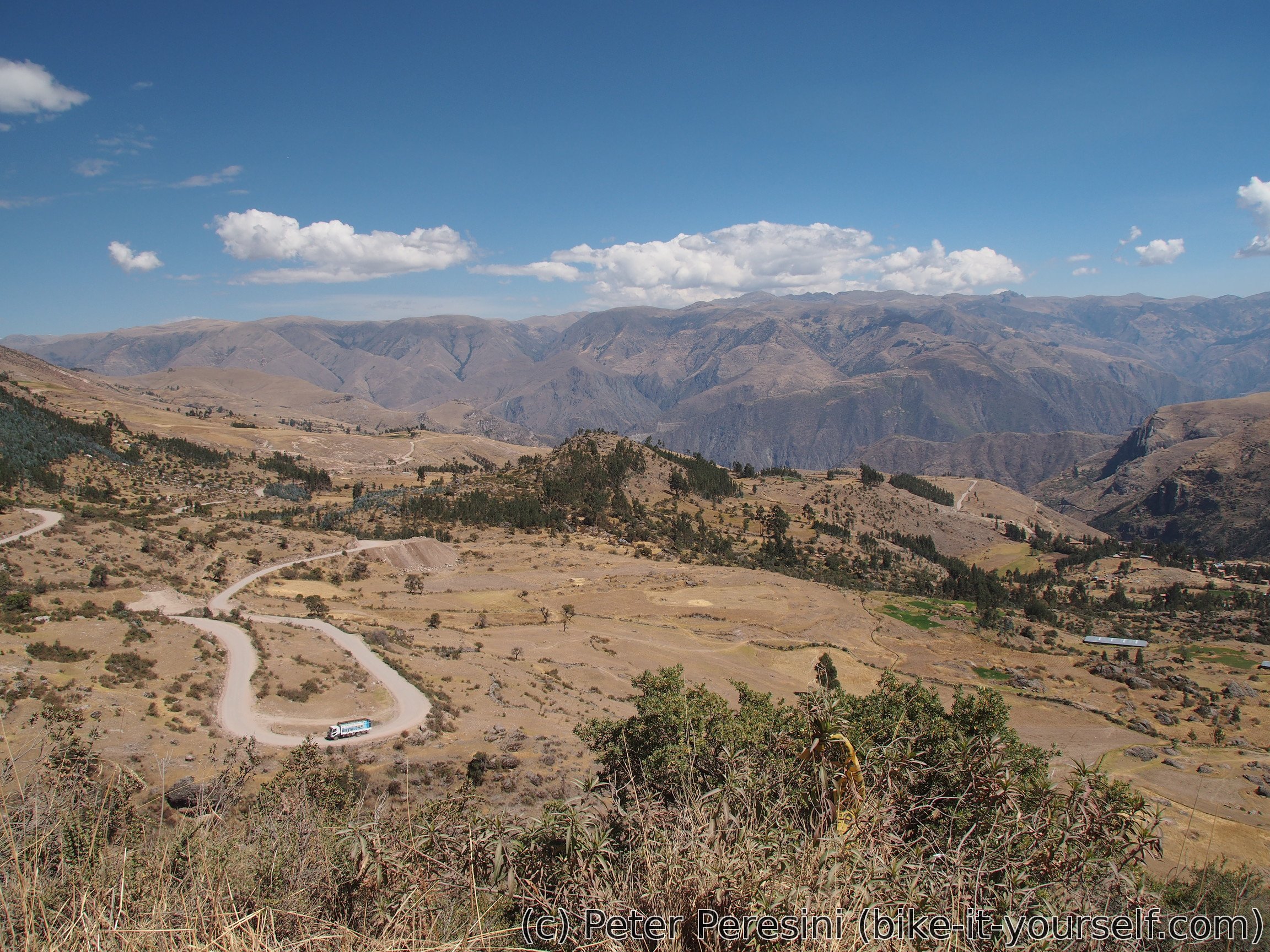
From the pass where I have lunch the road takes me down to a small village of Ccorca. But before that I notice a sign of pinturas rupestres so I am going out to check out what it is about. Sure enough, there are some paintings though they do not look extra impressive. The two human skulls on a rock nearby seem to disagree with me. As an addon there also seems to be some trails leading to nice high rocks nearby. I decide to pass on this distraction as I still have some road before me and it is quite hot to climb up anyway.

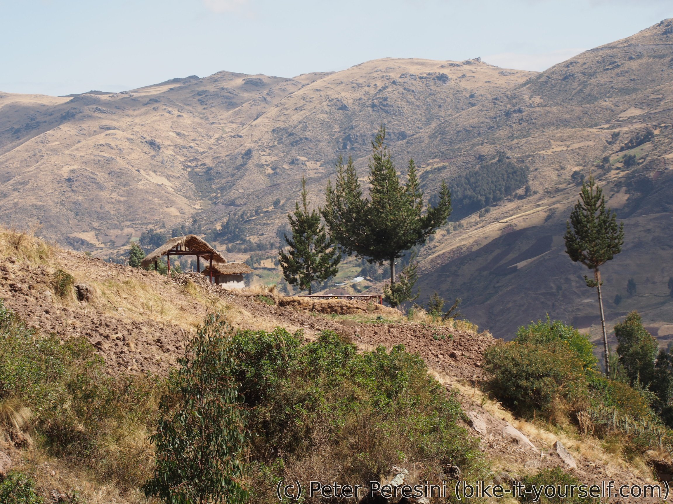
From Ccorca I finish the descent and another workout can start. This time the road goes through a nice valley and climbs to a small village of Totora. Here I am fetching water and just as I want to leave a guy shows up telling me that I can camp next to his house. As I wanted to camp around now anyway I accept the offer. When his wife arrives and cooks I even get a dinner. In the meantime I am trying to answer their curious questions.
July 30
The night is quite damp and in the morning my tent is heavy with the condensation. As if the Sun knows this it doesn't want to come out of the clouds. Even with a lazy morning routing I end up packing the tent half-wet. I say goodbye to the nice family (which in the meantime forces on me a breakfast and a sack of cooked potatoes "for the route") and start working my way up.
With most of the climb already done yesterday It still tooks me some time to deal with the remaining vertical meters. Afterwards a short descent starts only to be resumed by another short climb.

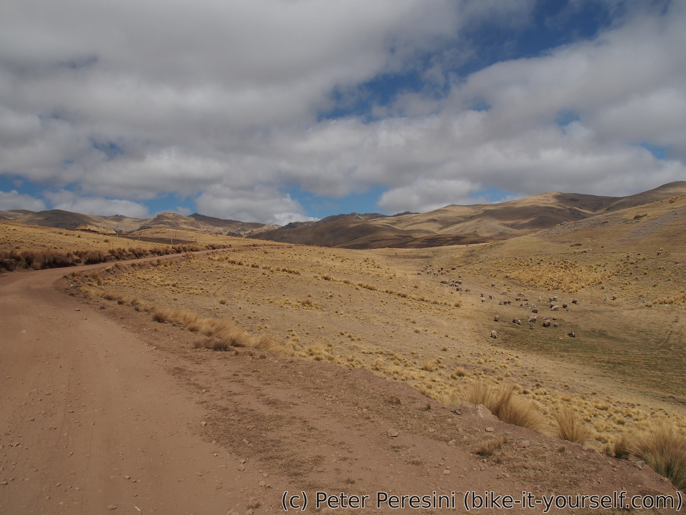
Then a long descent starts where I descend into a valley and pass by Chinchaypuijo village where I make a great mistake of not stopping in a shop once I see it. I am telling myself that there will be more of them a bit further down. Well, not. As I am lazy to get back I end up without a bread for the next day. At least I can get water in a police station.
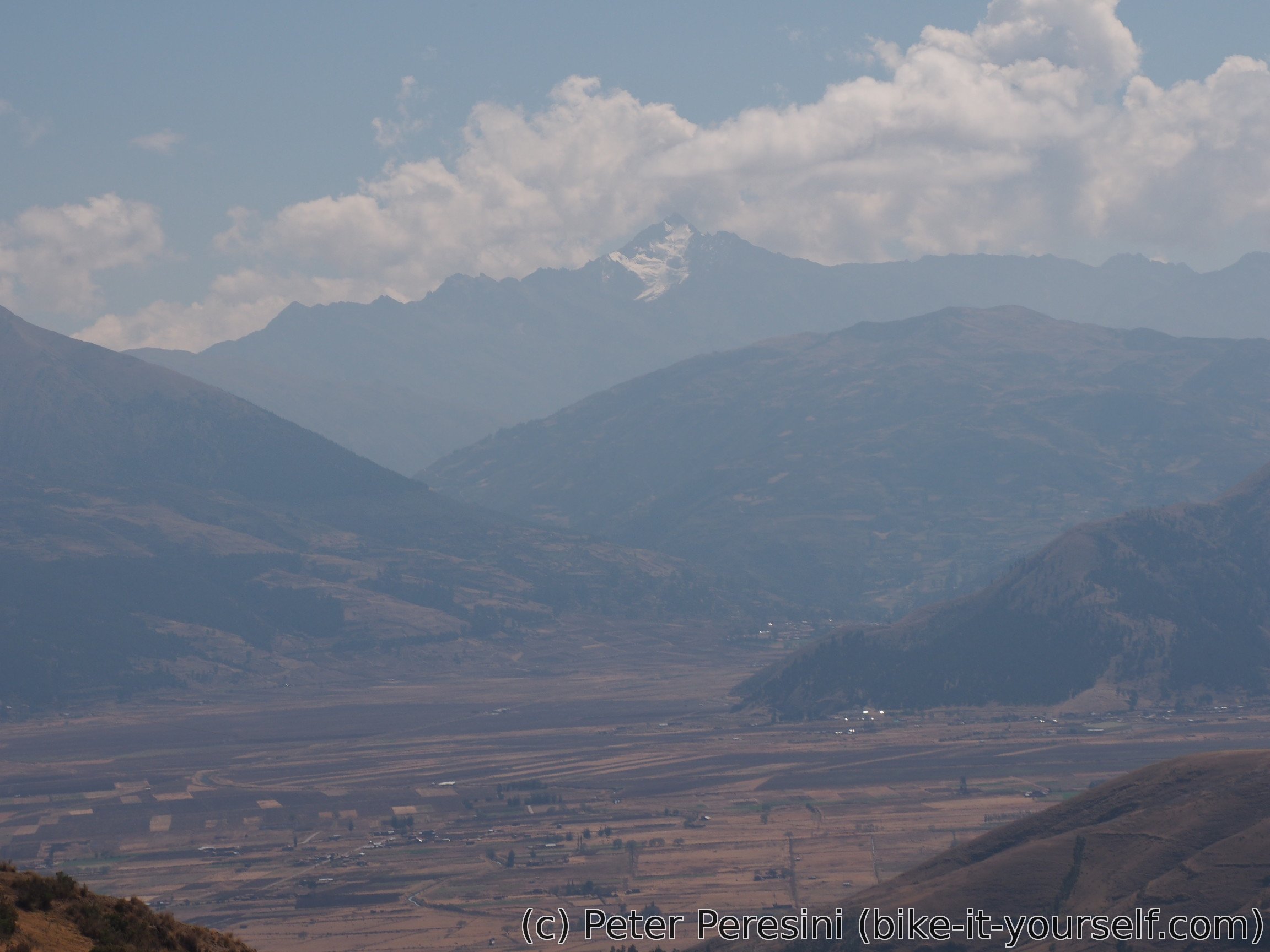

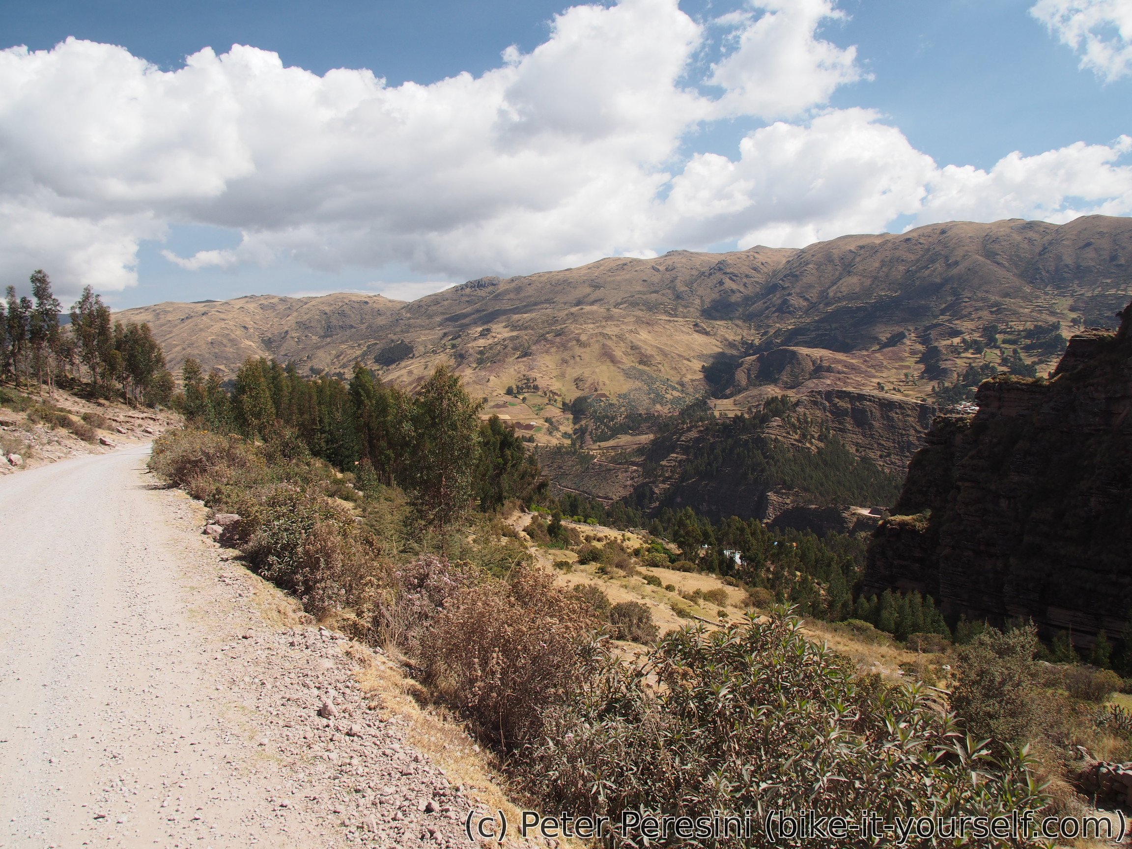
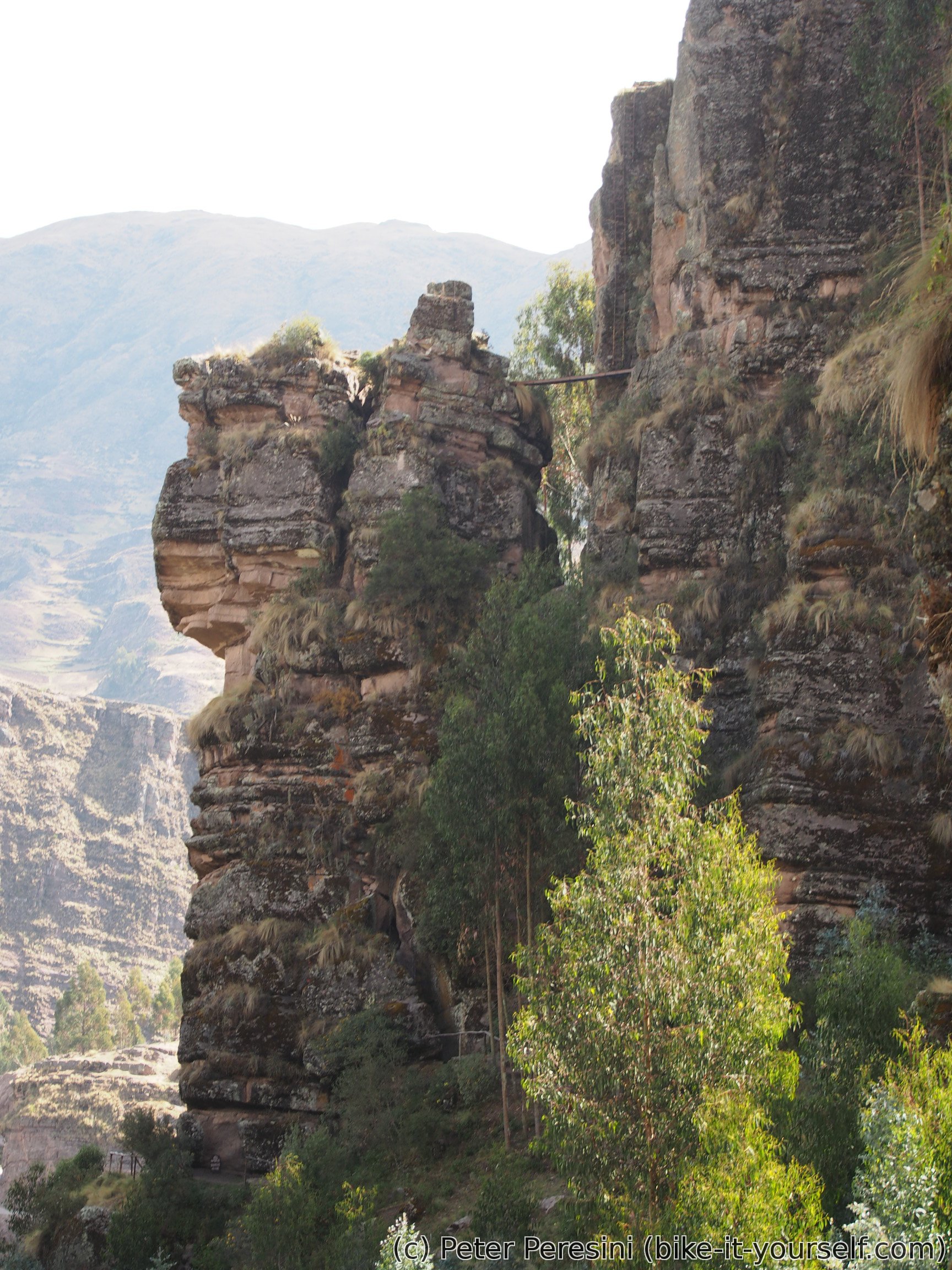
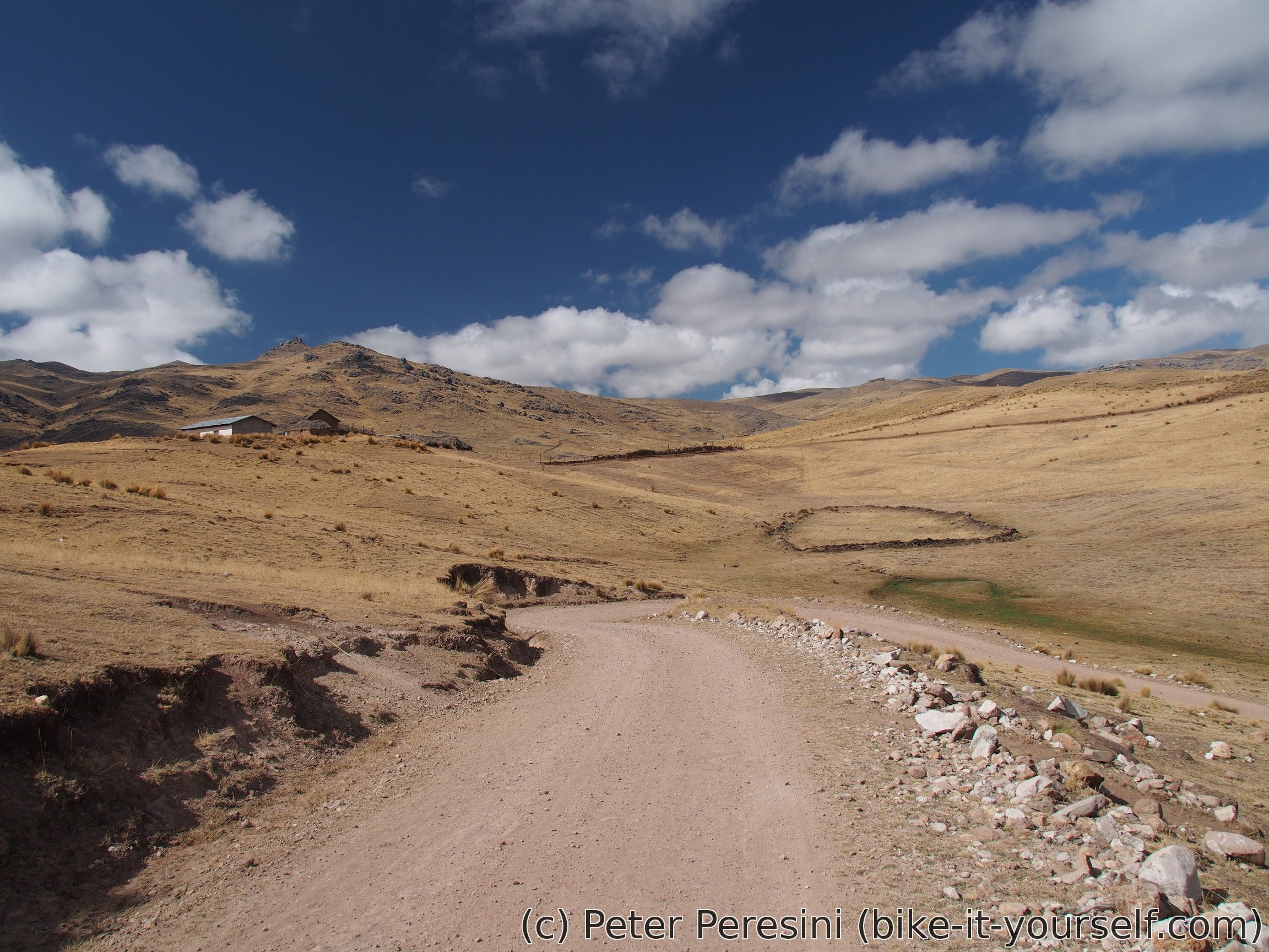
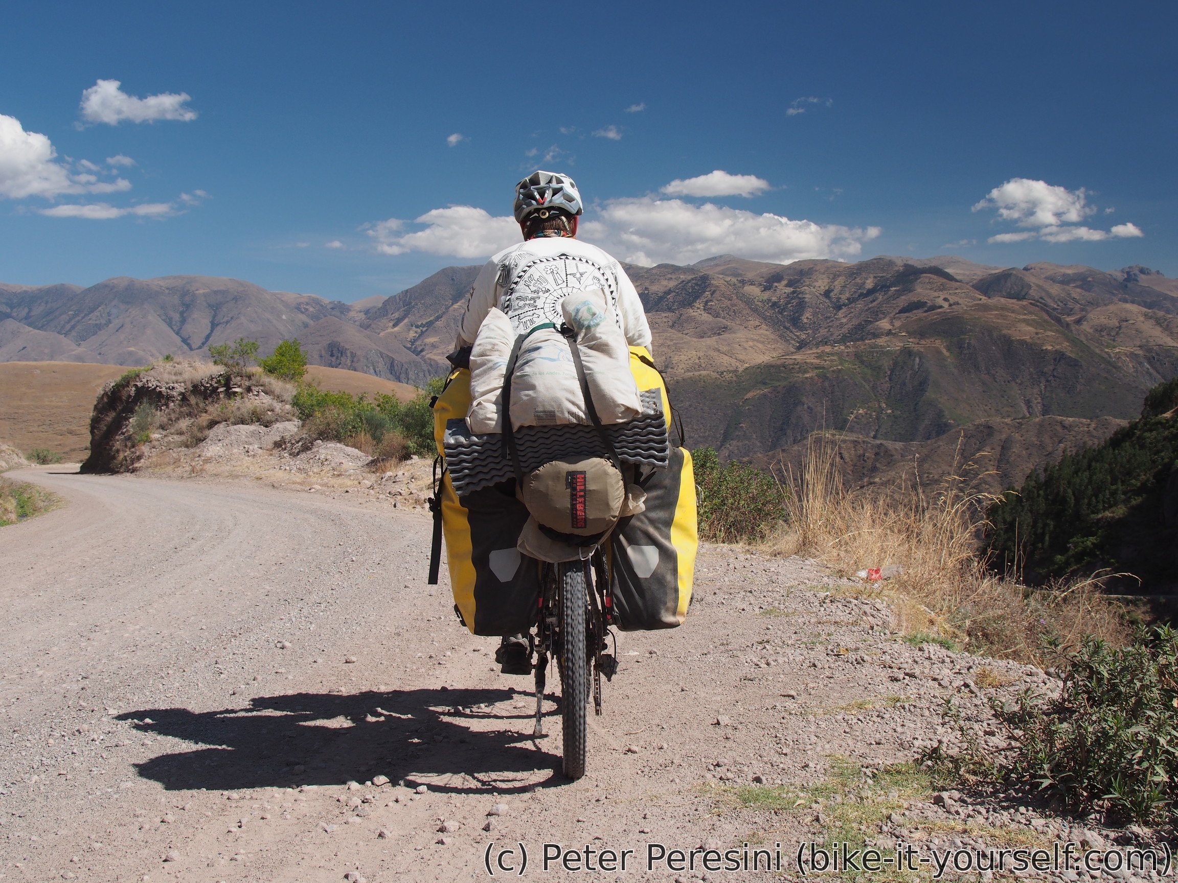
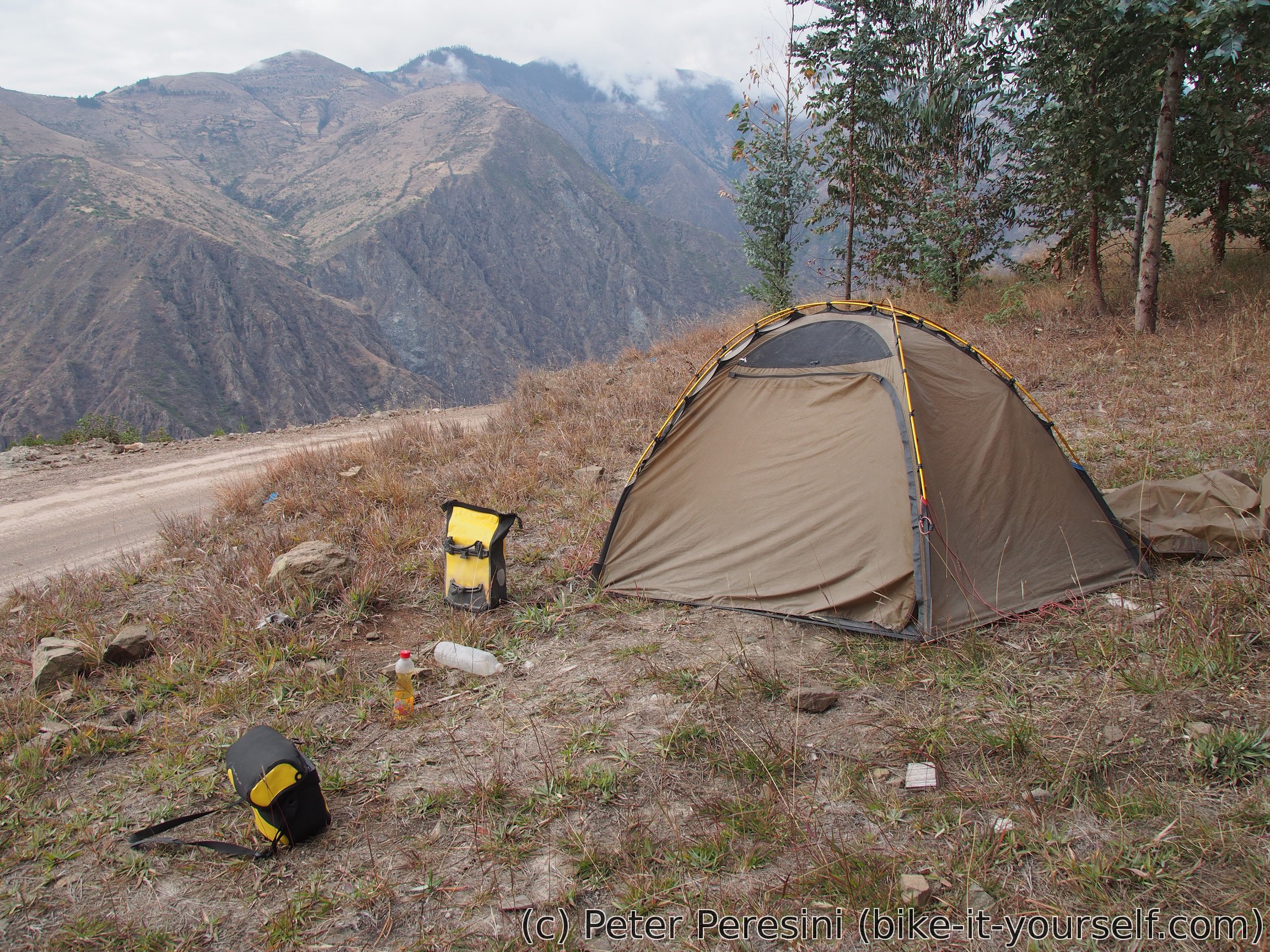
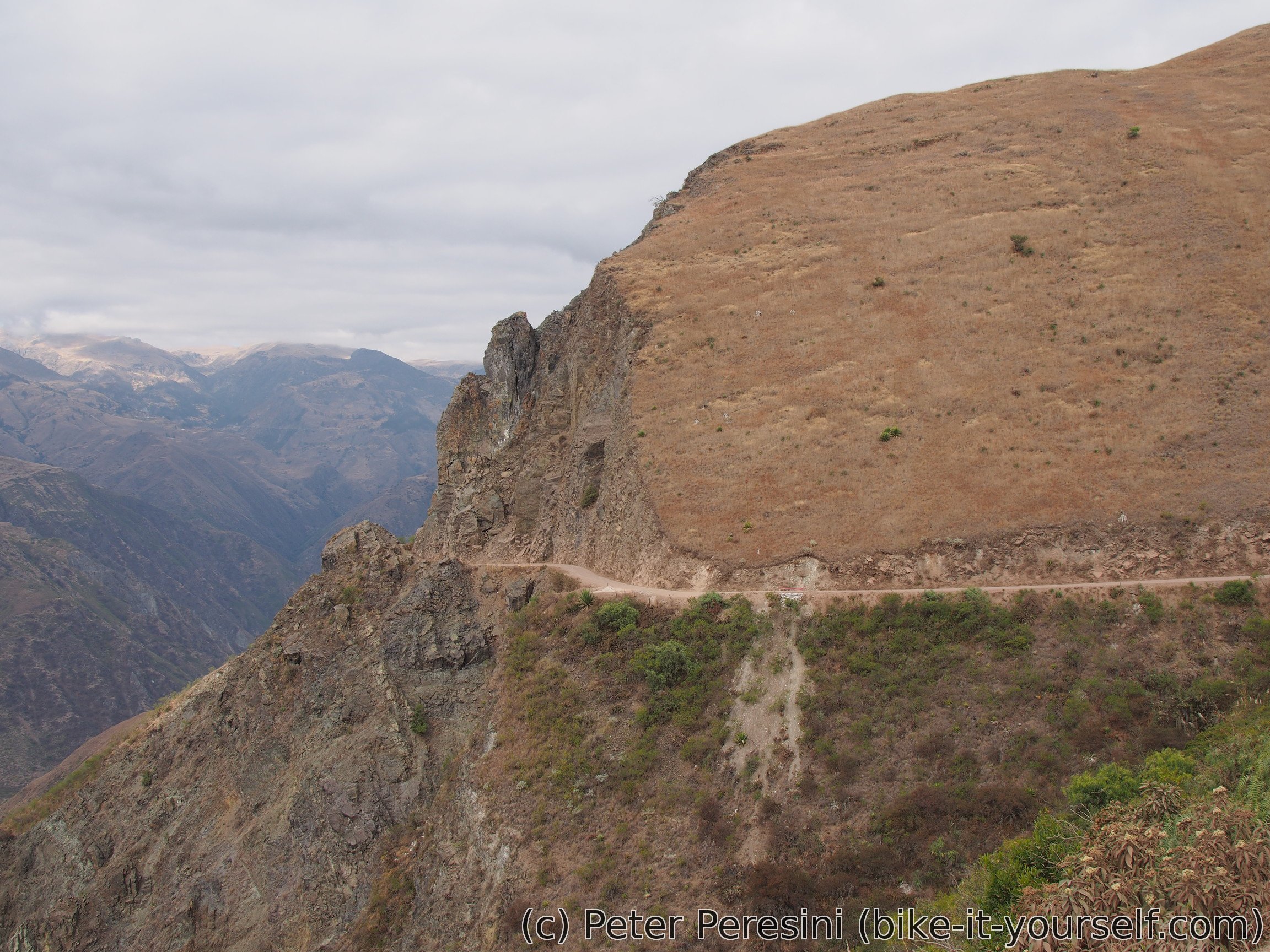
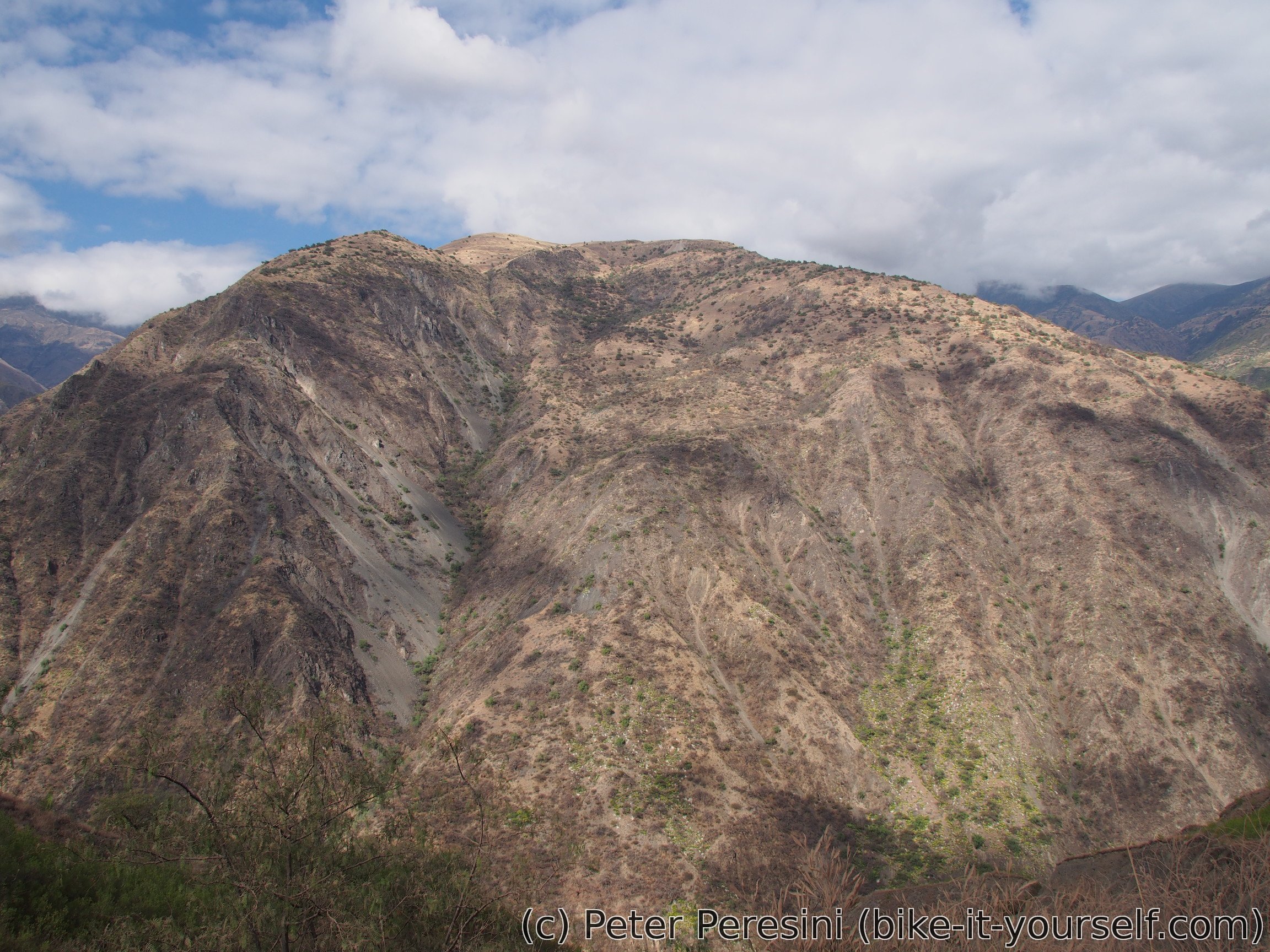
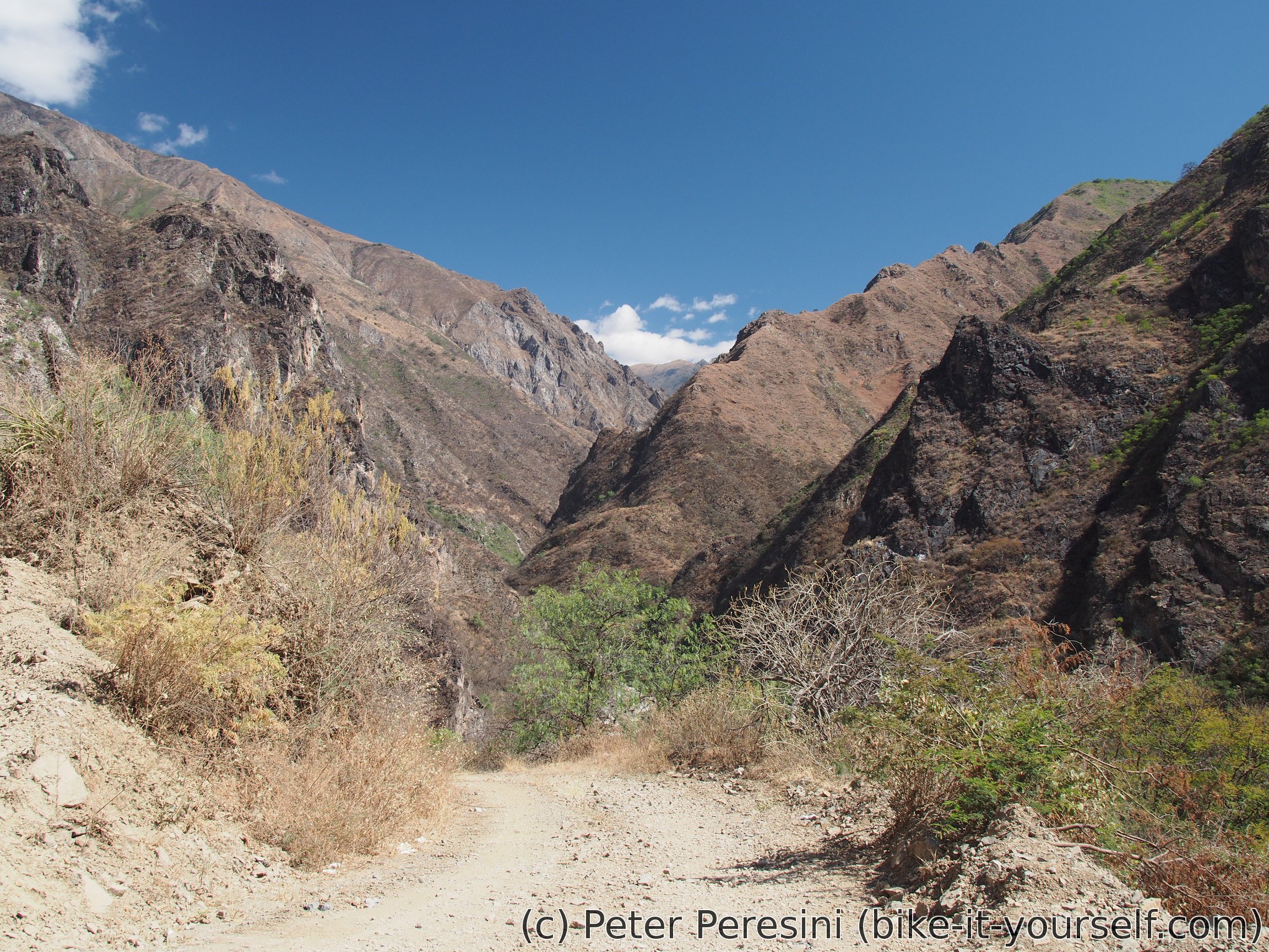
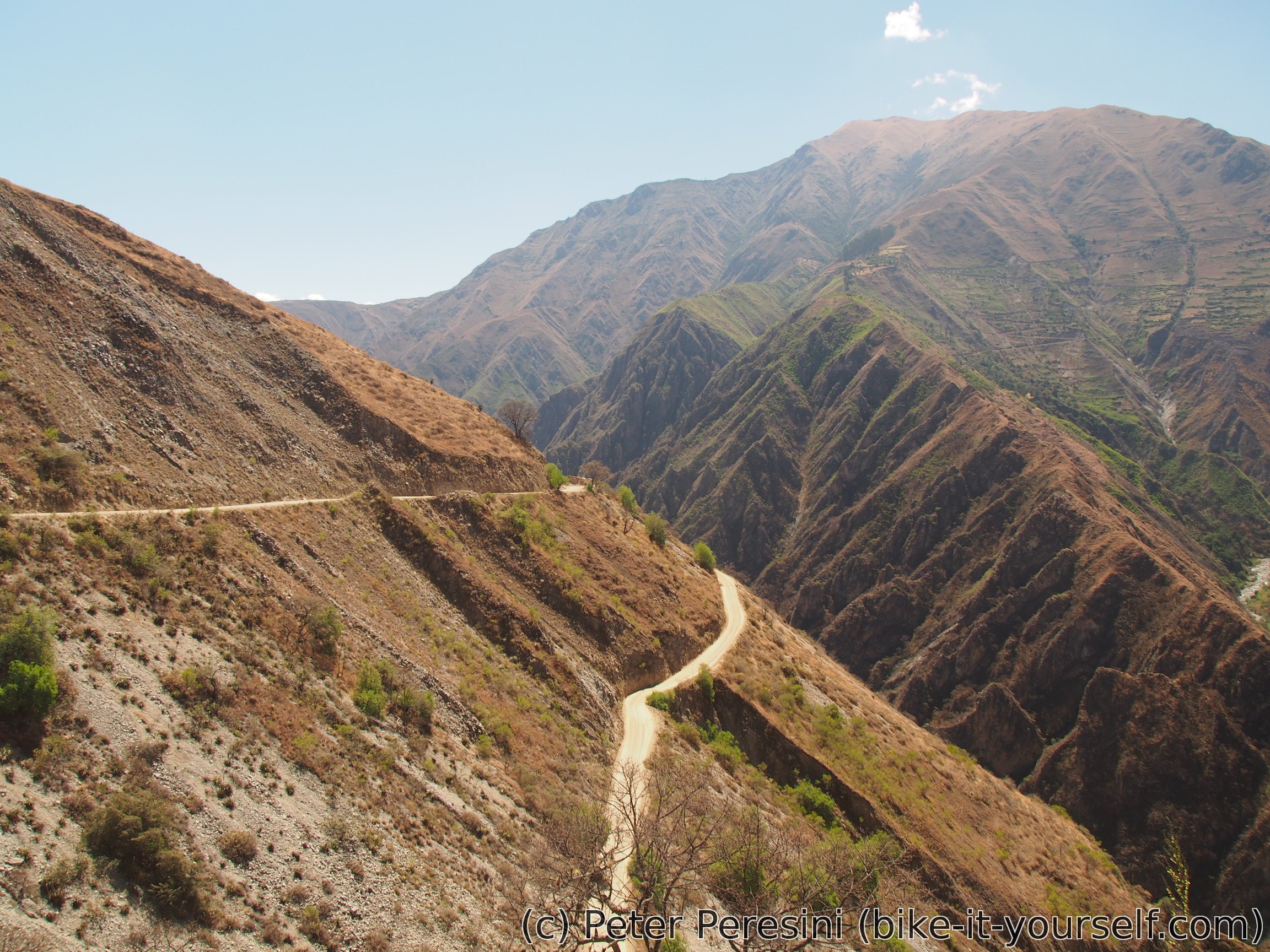
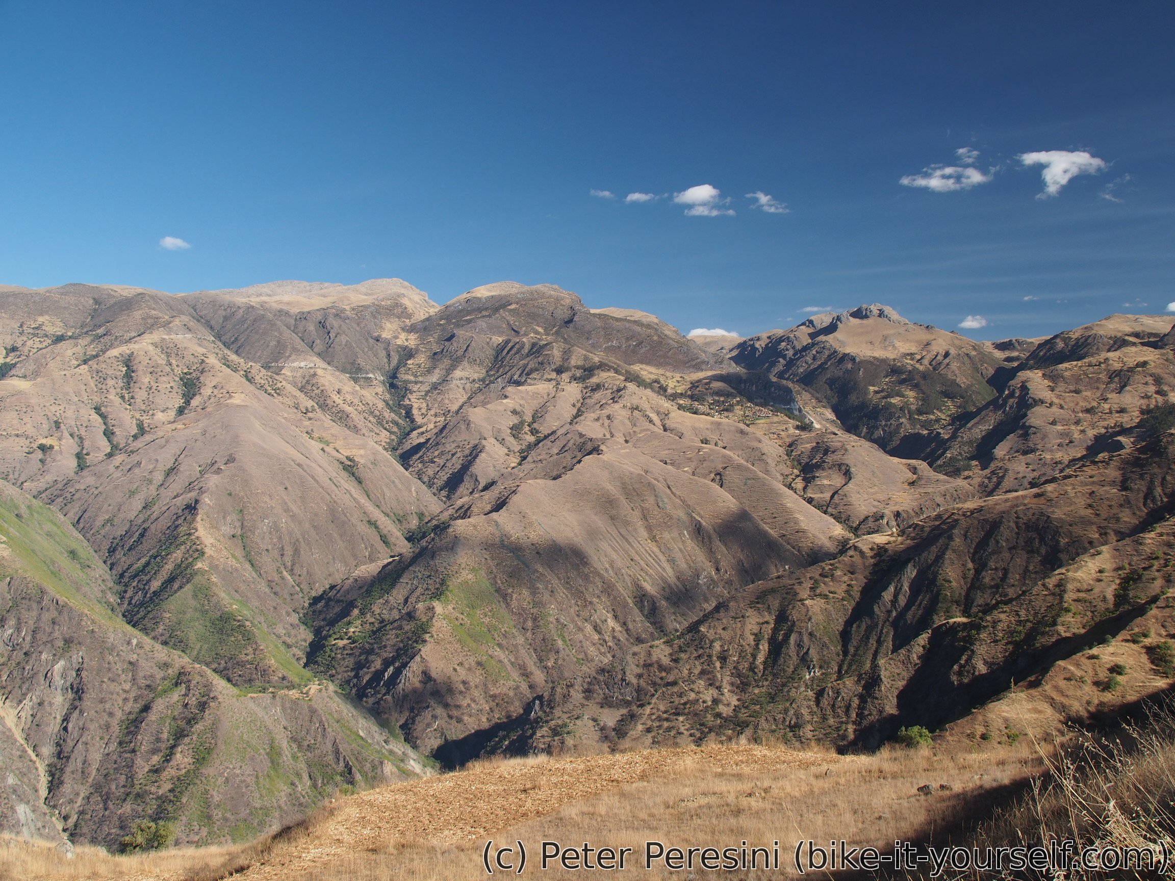
From Chincaypuijo the road continues around a nice mountain with a first-class views down a huge cliff. After this distraction the road practically flattens as it skirts around hills. By this time the Sun is getting low and I need to find some camping spot. From a distance I come up with a good candidate. Unfortunately, getting close to the spot reveals that it is blocked by a dead animal -- not the best companion for the night. So I end up quickly trying to find an alternative around this road built on a steep hill. Fortunately, just a couple of minutes later and I find a reasonably flat spot above the road.

July 31
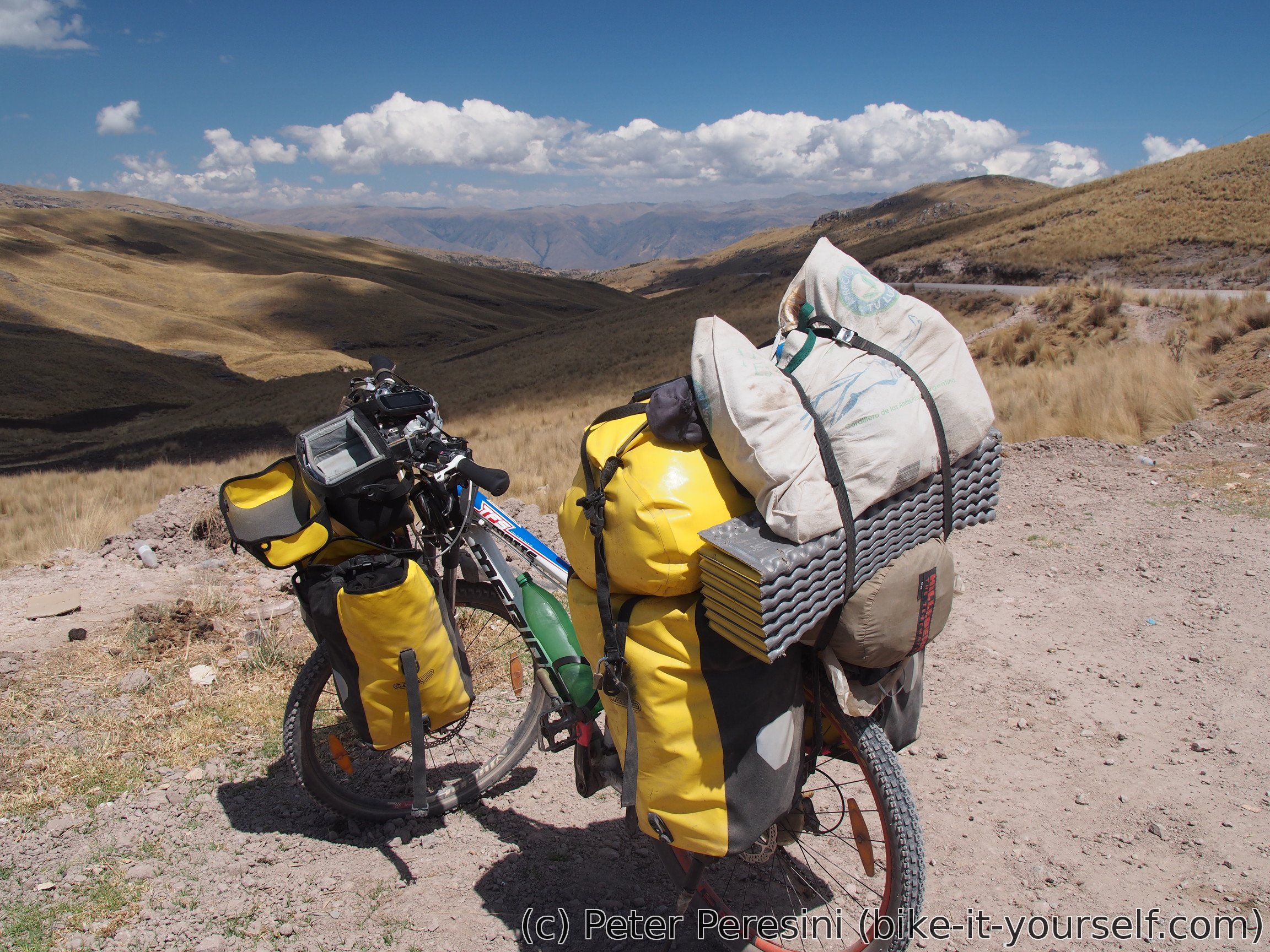
By the looks of it the weather patterns start to change -- for the last three days I have cloudy morning. Fortunately, I somehow manage to quickly dry the tent and continue yesterday's long descent. The plan is to get down by 800 meters just so that I can climb another 1200. Because yesteday I forgot to get bread I am not sure what to do with the lunch -- my cheese and ham won't really go well without it. But then, I still have lots of potatoes from yesterday :-) Another thing bothering me is my throat -- it looks like it might start a smaller strike so I preventively get some Tantum Verde.
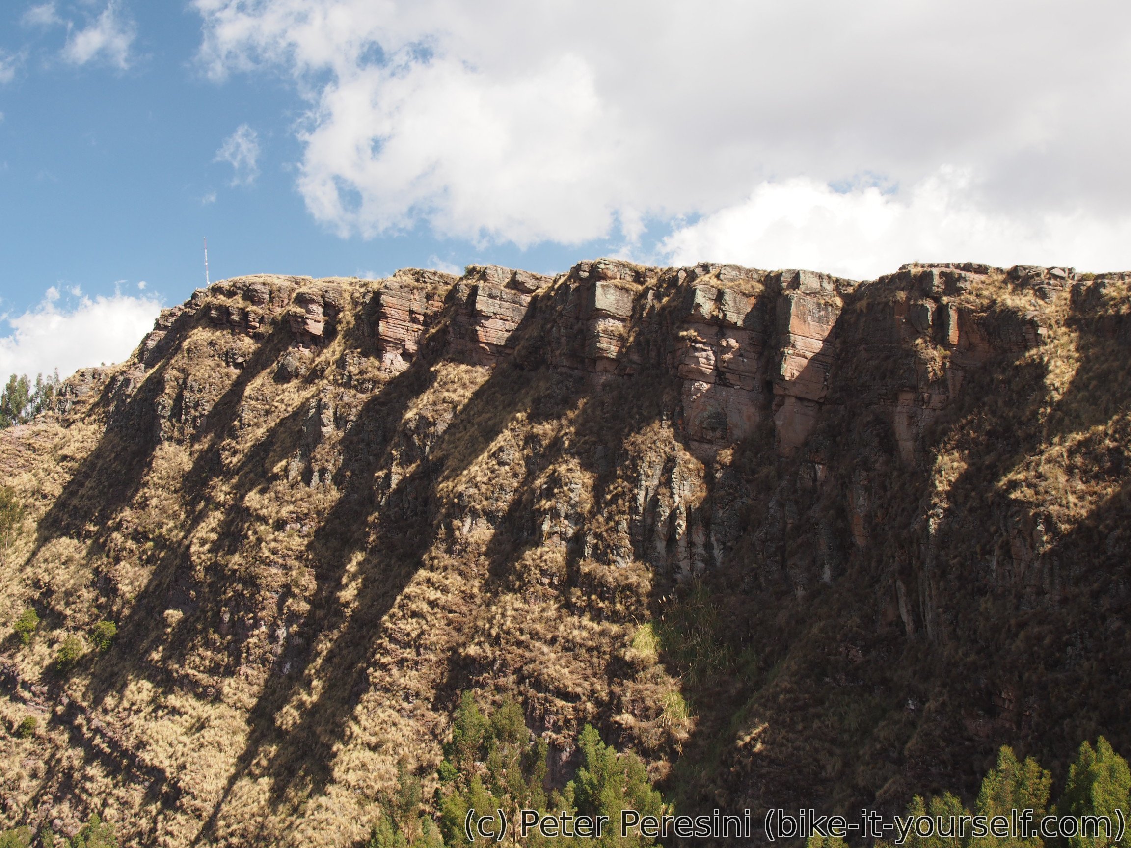
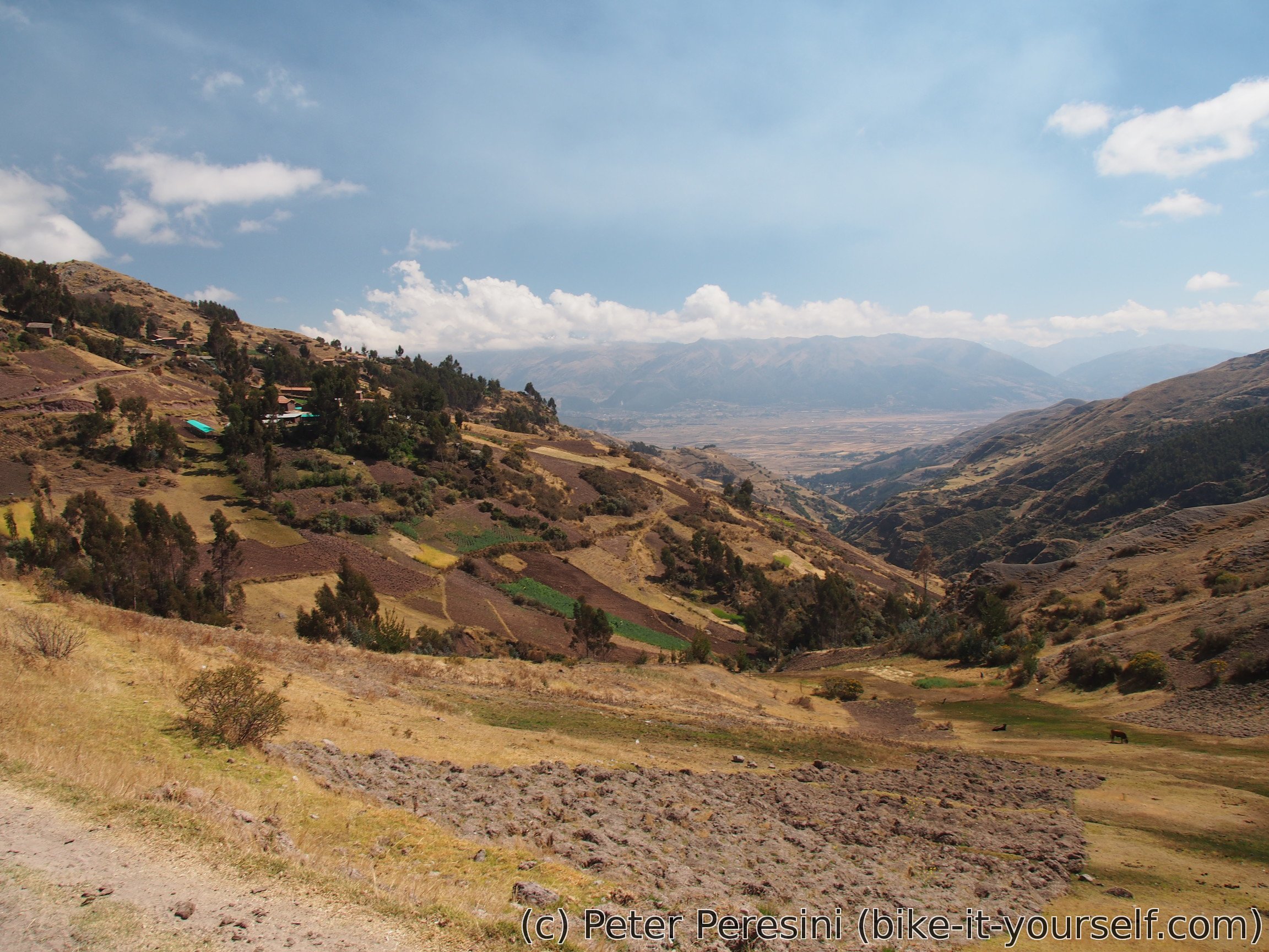
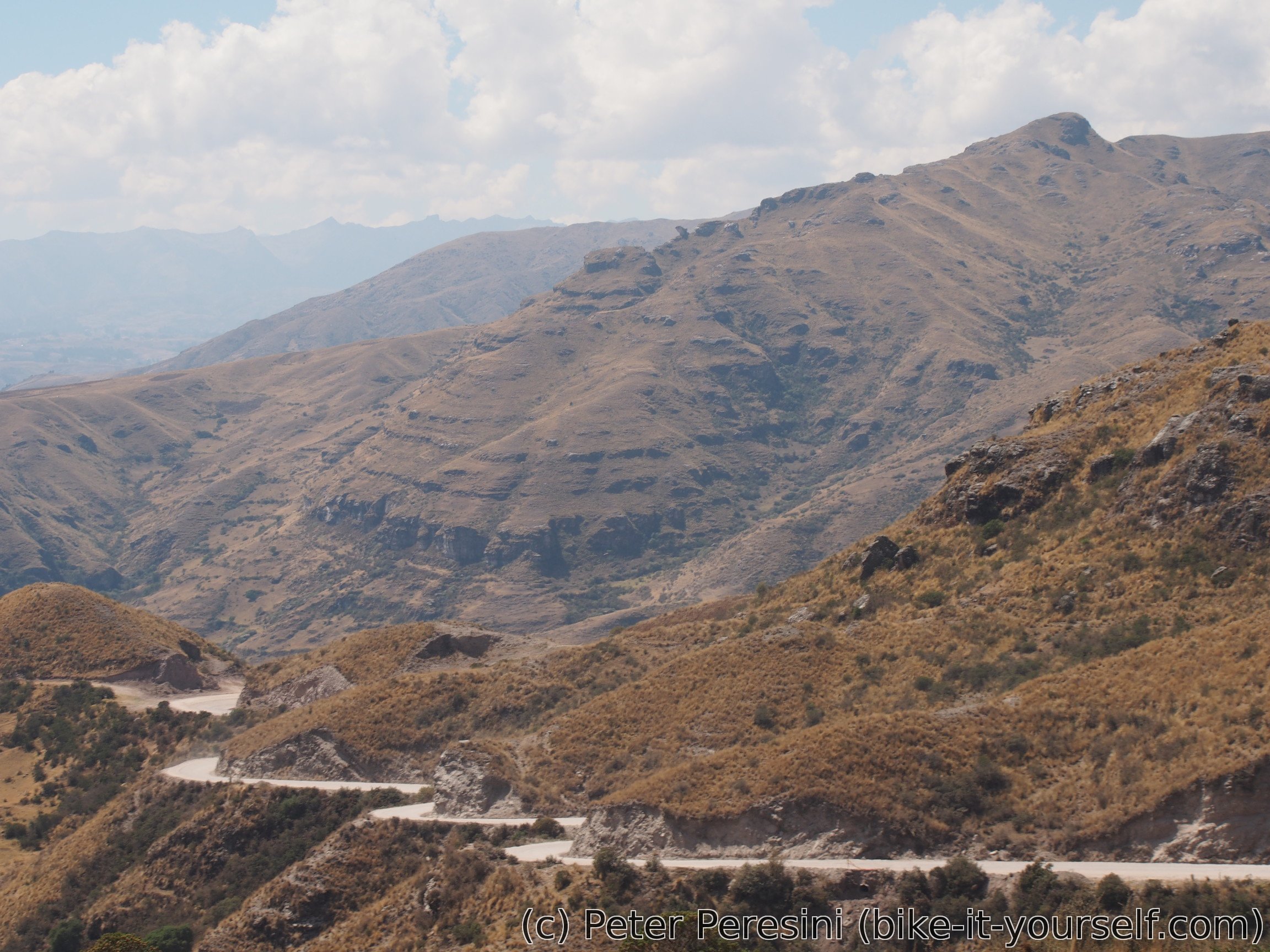
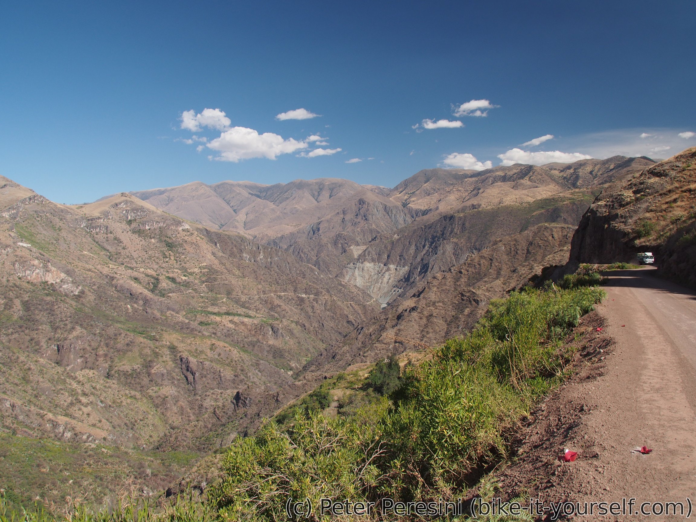
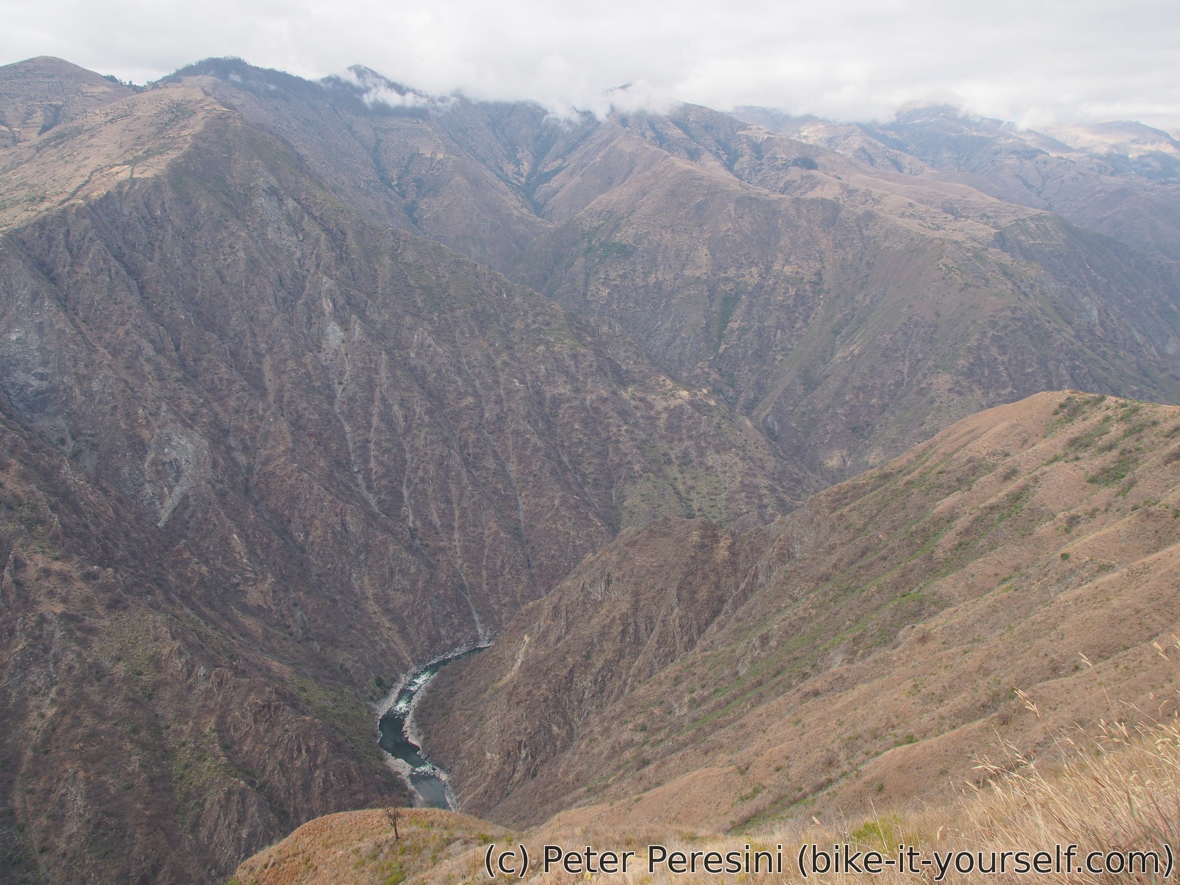
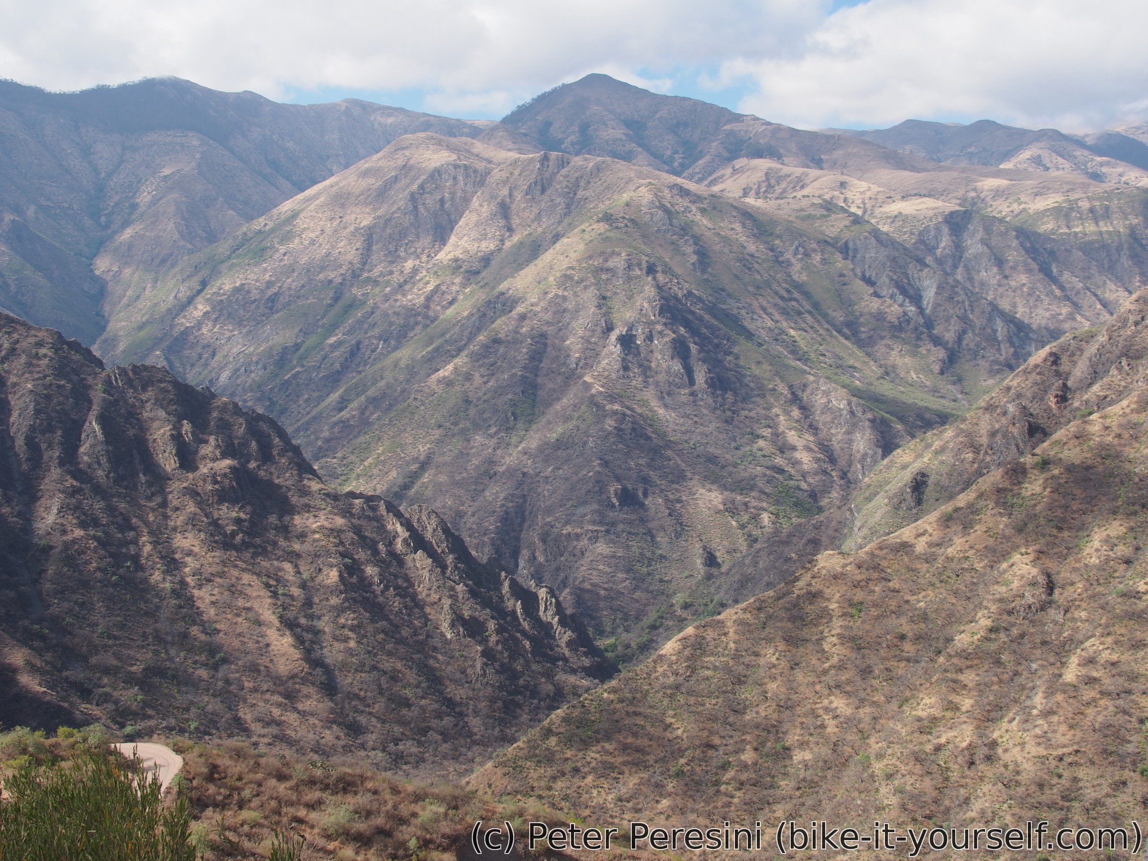
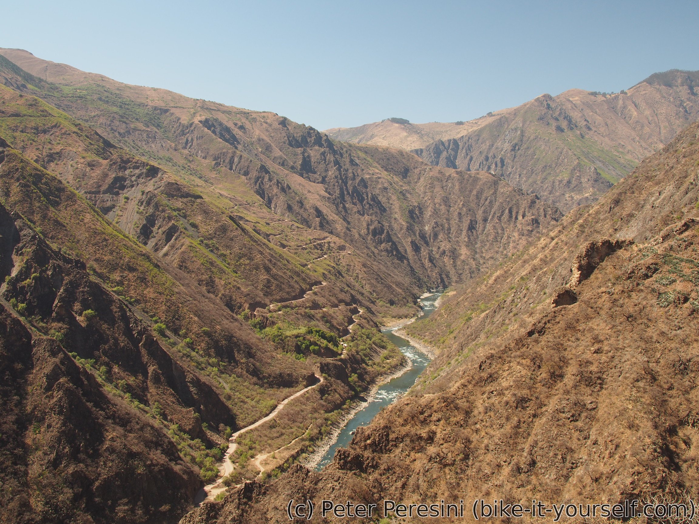
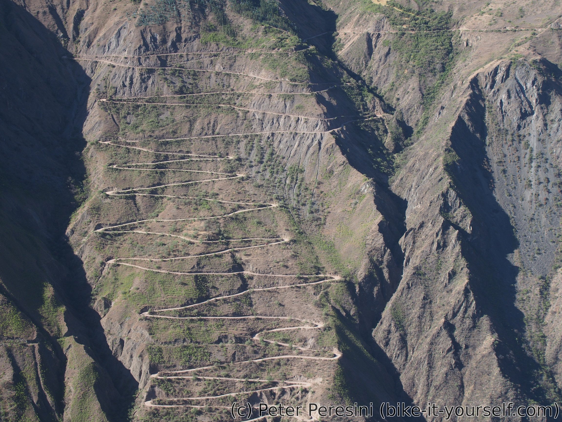
The descent down to the deep canyon is really impressive with switchback zig-zagging like crazy and picturesque views. Just before I hit the lowpoint I come across a bunch of houses which offer things for sale to passerbys. This fixes me bread problem (although it isn't the standard bread I am used to) as well as some sugar deficiencies (cyclists are basically permanently in a sugar deficiency so getting sodas and cookies can never hurt). I quickly learn that this place is not only offering lunch to people but also to moskytoes so I end up running off as soon as possible.
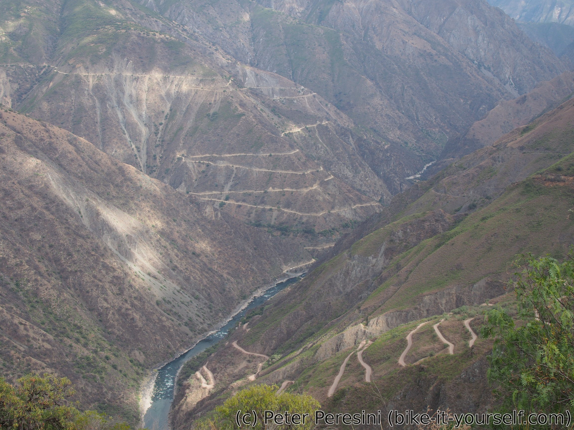
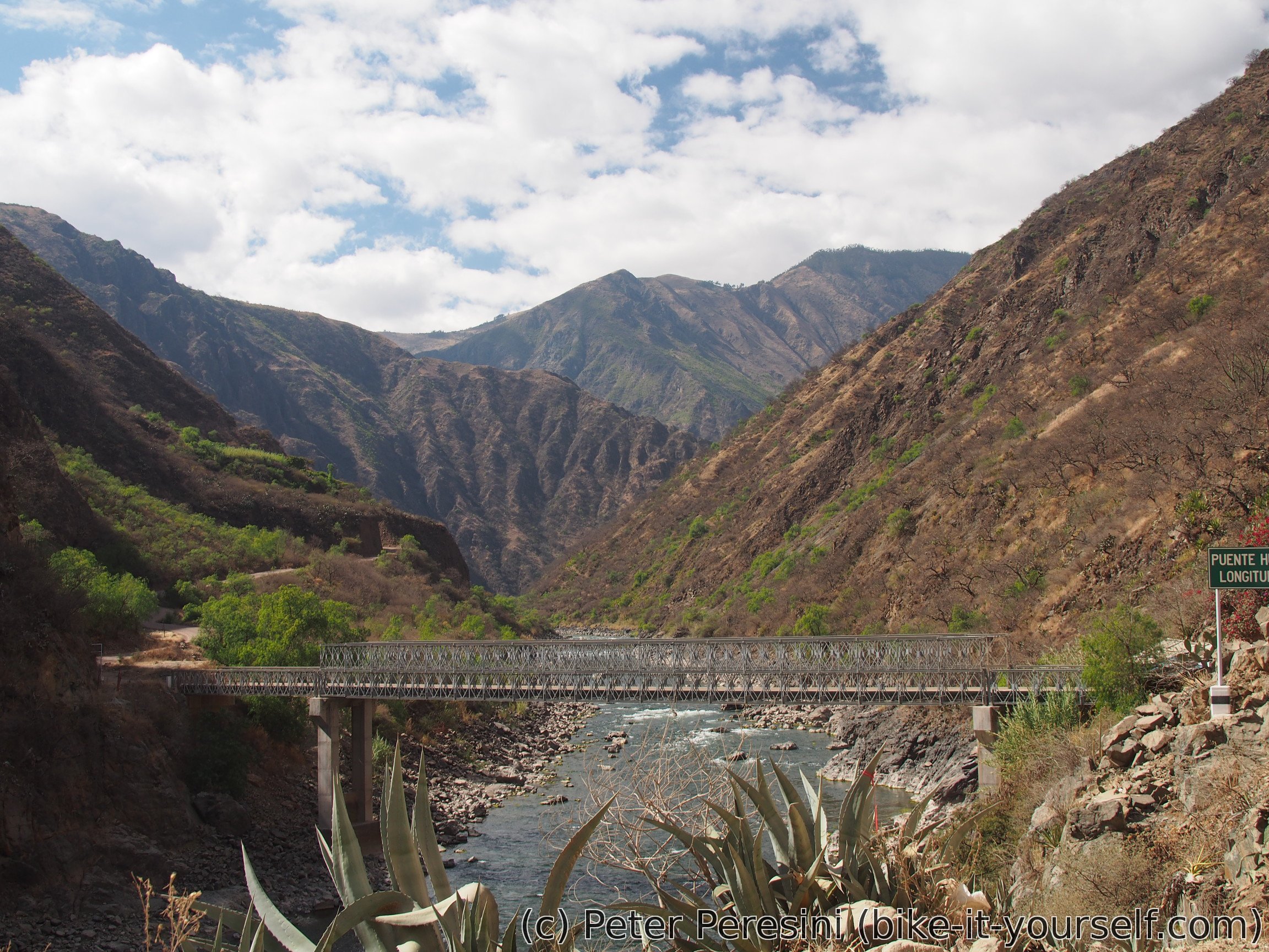
By the time I reach a bridge and start climbing the clouds disappear and Sun is in it's usual hot mood. It isn't even 10am, my elevation is 2200 meters and it is already damn hot. The climb is thus slow and I use every chance to get under shadows. I even get an unplanned stop because of some roadworks but fortunately not for too long.


By the evening I finally reach Cotabambas. My presence is not left without a notice and I am quickly offered a hospedaje. But before that a trucha in a restaurant is a must. Cotabambas catches my interest in several ways. First of all, there is a mobile signal but no data. I mean, I thought that where you have a signal you must have 2G but apparently it isn't the case. I visit a market what is happening at the main square and I decide to buy shoe insoles -- the ones I have are just not enough. Next I stop by a puesto de salud in a hope to find some replacement for my Tantum Verde which is running low. Here I learn that before I can get anything from the pharmacy I need to visit some doctor. So I end up doing exactly that. It takes a bit of a while to get across what I exactly need (i.e., some light pills for the throat) but I am getting a real artillery -- antibiotics, ibuprofen and something for the throat. I try to argue that this isn't too serious but well, you can't really argue with a doctor.
Route
Download simplified GPX of a route here
Stats by activity:
| Activity | Distance (km) |
Ascent (km) |
Pedal rotations (thousands) |
|---|---|---|---|
| bike | 142 | 2.8 | 36 |
| hike | 1 | 0.0 | - |
| Date | Distance (km) |
Ascent (km) |
Avg. temp (moving, C) |
|---|---|---|---|
| July 29, 2017 | 34.7 | 0.97 | 20.6 |
| July 30, 2017 | 64.4 | 0.61 | 20.3 |
| July 31, 2017 | 44.0 | 1.29 | 25.0 |
Elevation data
The next table is only for cycling activity.
| Grade(%) | Ascent (km) | Descent(km) |
|---|---|---|
| < 2 | 22.2 | |
| < 4 | 11.1 | 8.6 |
| < 6 | 11.7 | 12.7 |
| < 8 | 6.9 | 5.7 |
| < 10 | 2.5 | 1.9 |
| ≥ 10 | 2.1 | 2.6 |