
Calingasta to Iglesia
 Share:


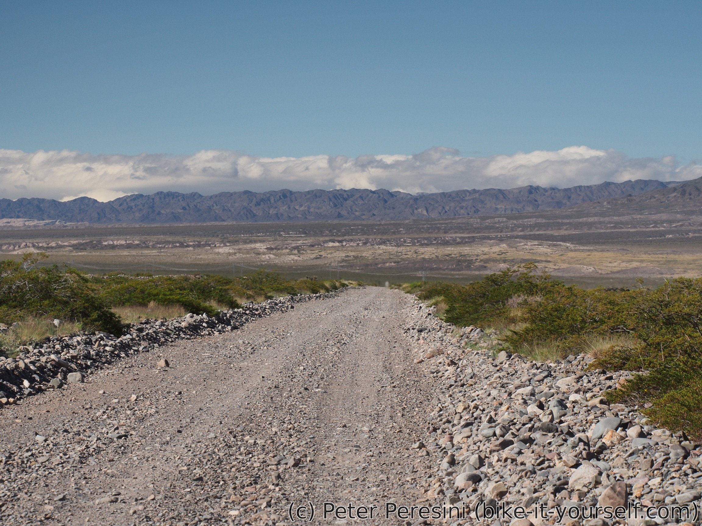
Final connecting part before I can start climbing to the Paso Agua Negra. According to Pike's description "The road isn't especially scenic and on some sections the surface is not particularly good". I think that the first statement is a bit too harsh -- while the altiplano route isn't the most scenic one it is quite ok. As for the second statement, "not particularly good" is a definite understatement of the sandy parts.
March 29
After a good breakfast at the ho(s)tel I am more than keen to start this two-day ride to Iglesia. My stomach isn't that much convinced though as I have some toilet emergencies. Fortunately, so far it looks like it happens only with a frequency of 1 per day so I am not bothered by it much.
After I finish my business in the town (most importantly paying for the yesterday's shopping, see the previous post) I head on a paved road to Villa Nueva.
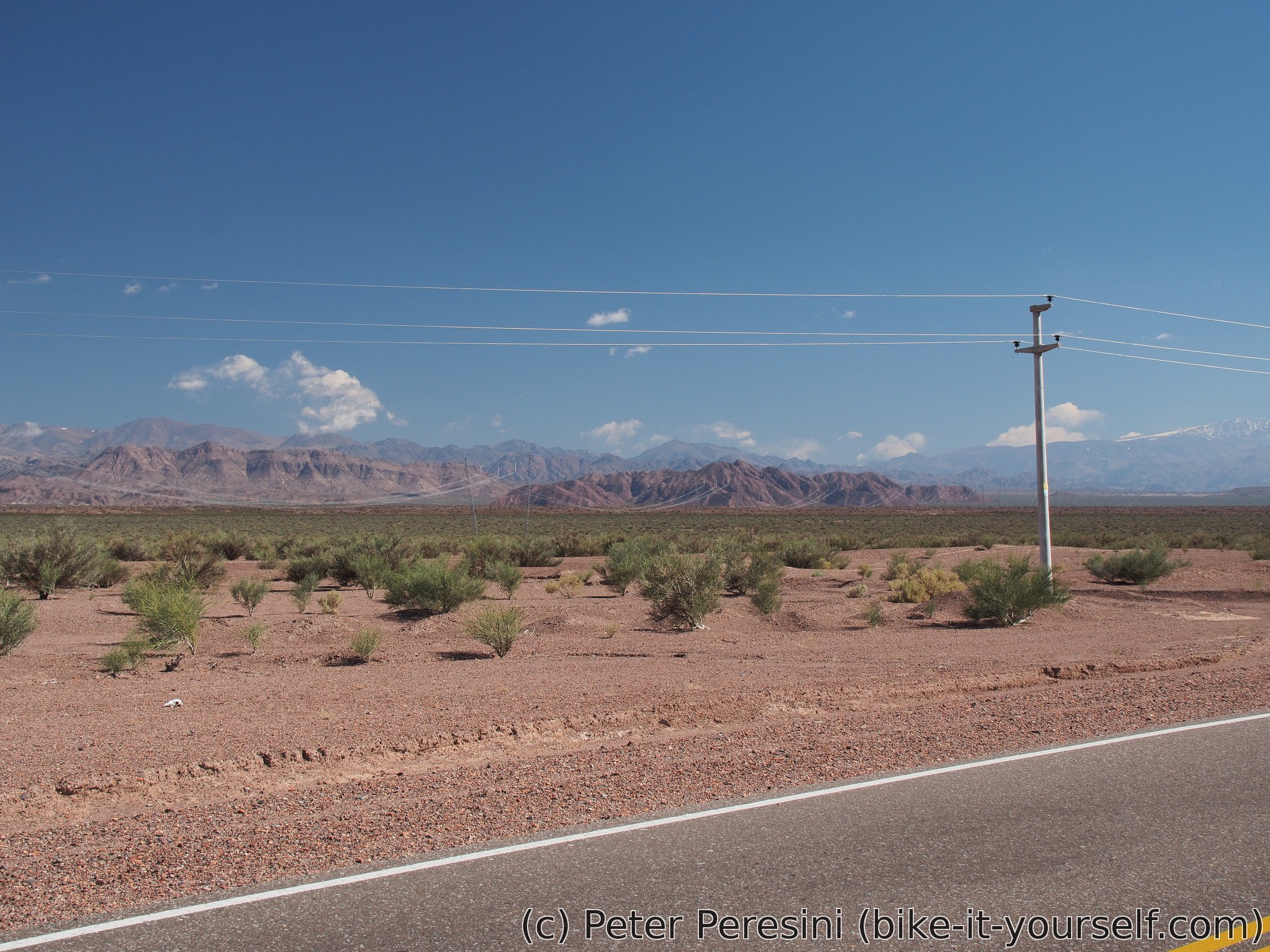
While on my way I am meeting a French motorcyclist and he is bad news. He tells me that about 30km from Villa Nueva the road becomes so sandy that he decided to turn back and rather go the main paved road. This quite scares me (and unfortunately, taking the paved road would mean more climb and 3-day ride in an apparently waterless desert without any village on the way). To verify the badness of the road, I am also asking local policemen. And they confirm what the French was saying -- the road is in a terrible condition and nobody goes there. But at least gendarmeria at Tocota (a small outpost in the middle of nowhere) is manned and I could get water there.
I am also getting a company -- a small kid on a bike joins me for no reason (possibly boredom) and goes with me for some while.
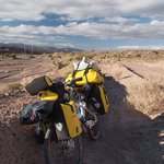
The way to Villa Nueva took me more time than expected. To prepare for the worst I am quickly getting much more water than I planned. With so much water the bike is quite hard to handle but hey, it is better than run out of water.
And after Villa Nueva the massacre starts. The beginning looked promising but it soon changes into 5% climb which is frequently crossed by riverbeds. And these are damn sandy. So I am quickly learning the art of getting off and on a bike. And all the water I am carrying is damn hard (I though I bought a 10L water bag back in Slovakia but later it did not seem to be that big so I must have changed it to 5L. Error, I (much) later realized it is really 10L and full of water right now).
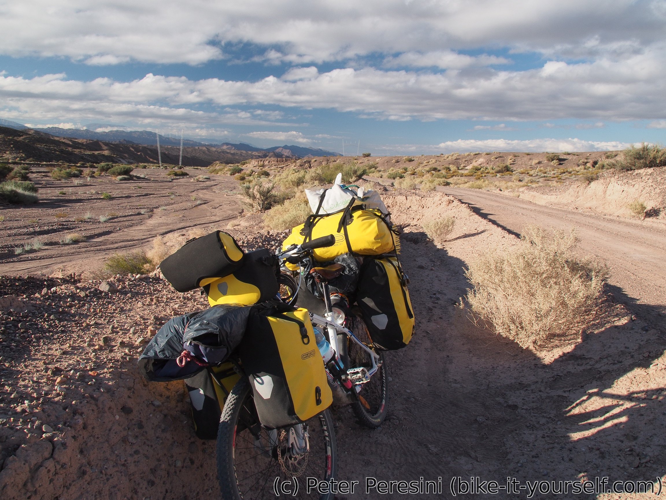
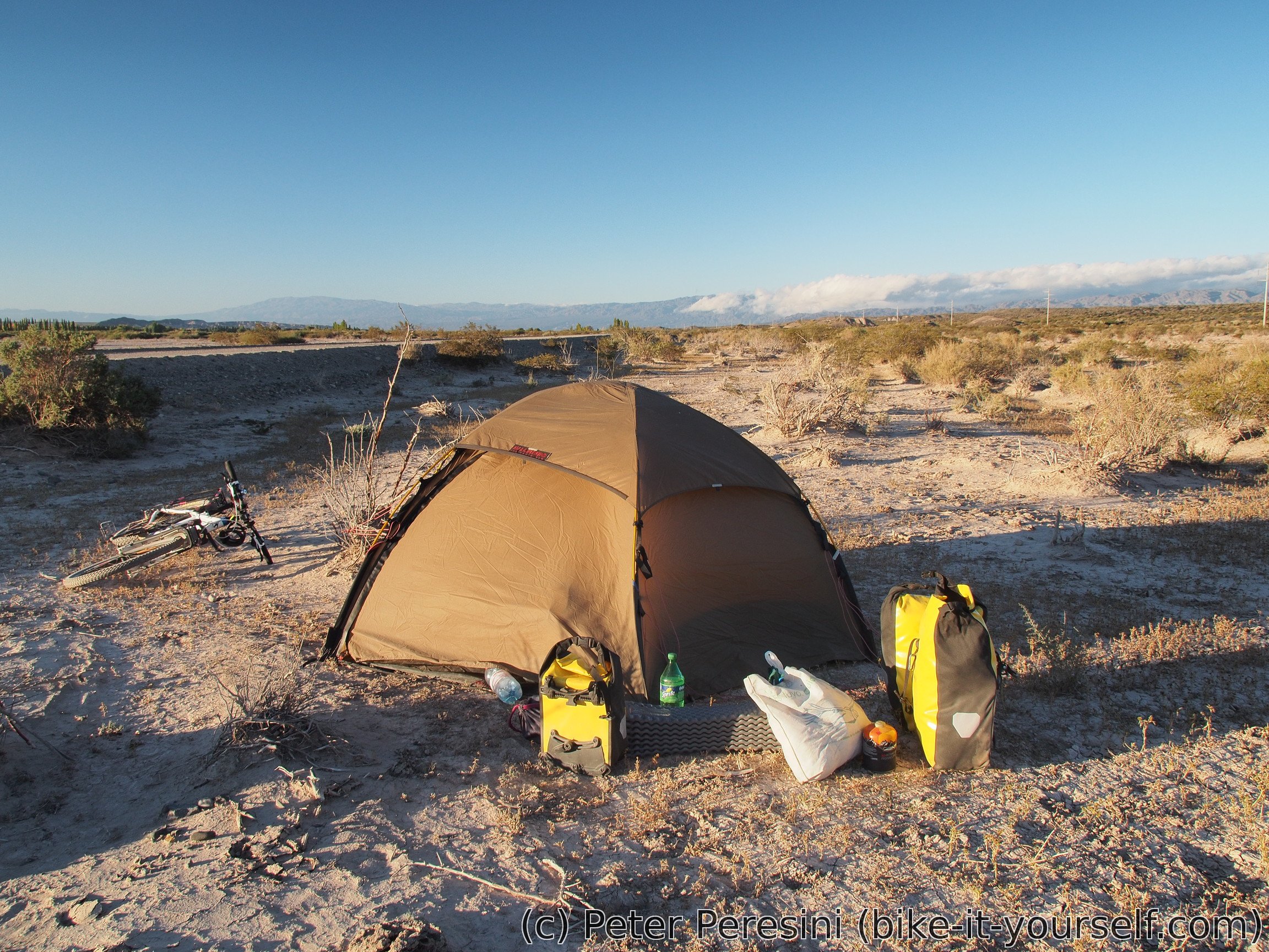
At least after I pass under high-voltage pylons the road gets better. Unfortunately, it is too late and I need to camp. Which is a problem on its own because it is damn windy. In the end I camp just besides the road on dried mud which does not hold stakes so I need to weight down the tent by anything I have (e.g., bike, bags, water).
I hope that tomorrow I will manage to get to Tocota and that the rest of the road wouldn't be in a much worse condition.
March 30
I have a bit of a headache during the night. To my surprise, I even have elevated temperature. Which probably means that I really have some stomach bugs and as such I start to take medecine.
I still have 35km to Tocota and according to the French cyclist the next 10-15km should be still useable. After that I am mentally preparing for a hell of a pushing. I am even calculating a backup plan to return back if I don't reach at least a few kilometers before Tocota by the evening.
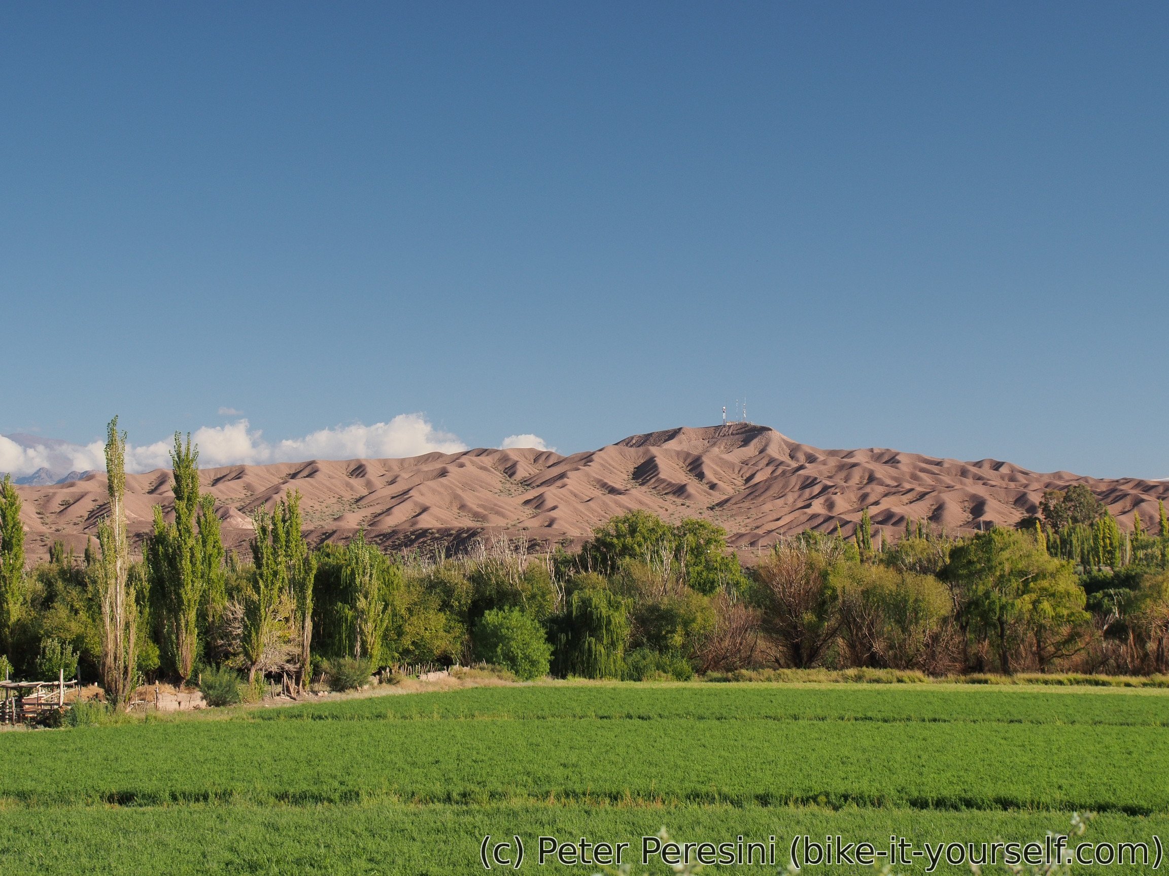
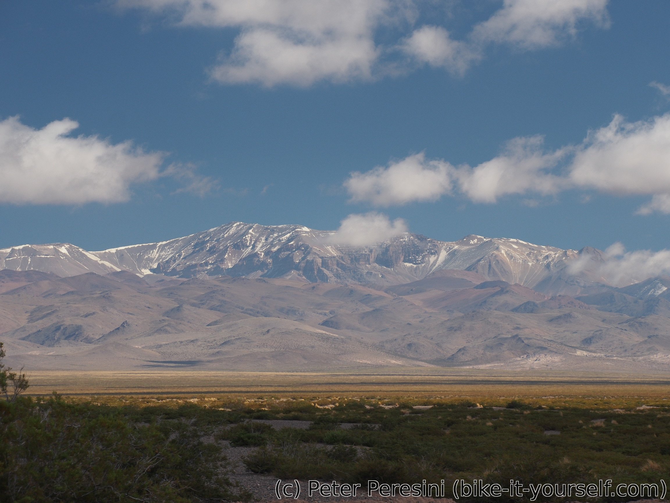
Otherwise the day starts nice -- no wind and there is less steep climbing. After 10 kilometers it still looks better than yesterday. The "desert" altiplano isn't actually a full desert. It is quite green, I can hear some birds, I saw a bee and I am frequently passing through ant highways.
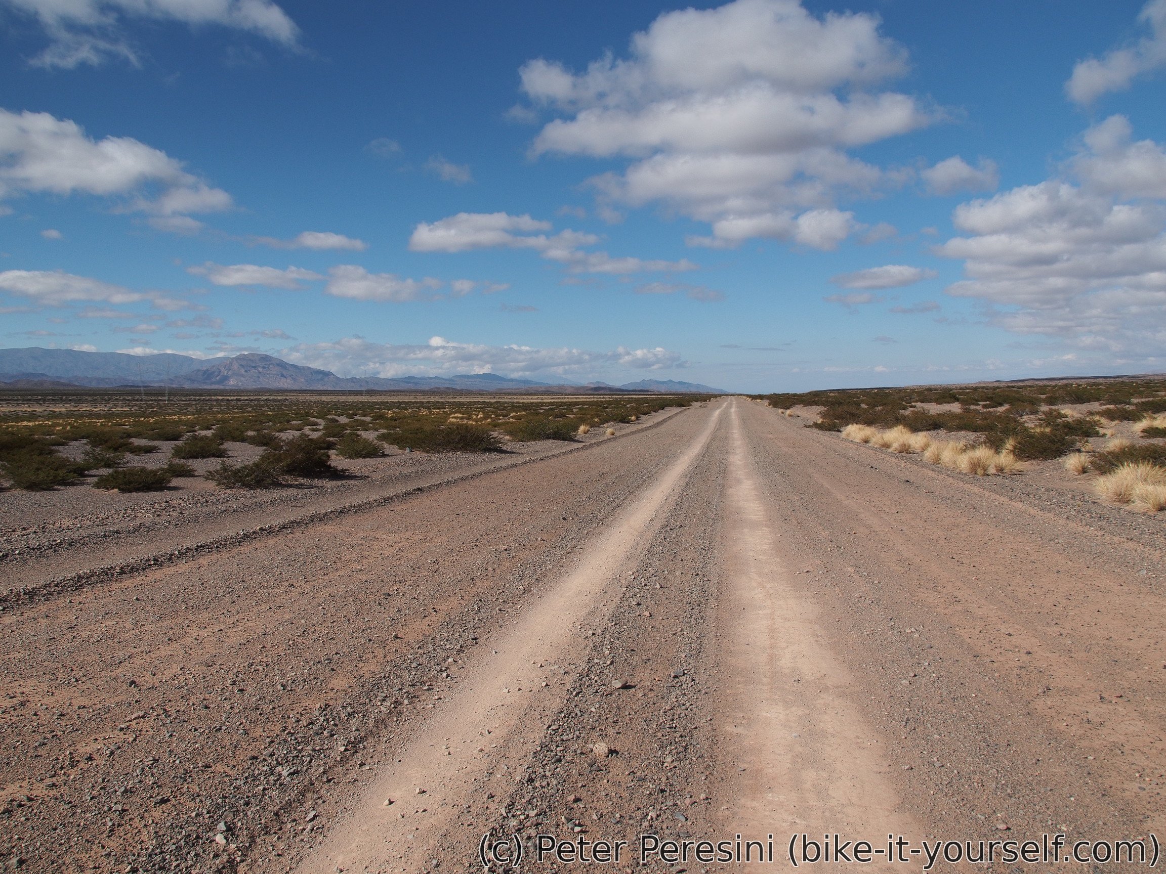
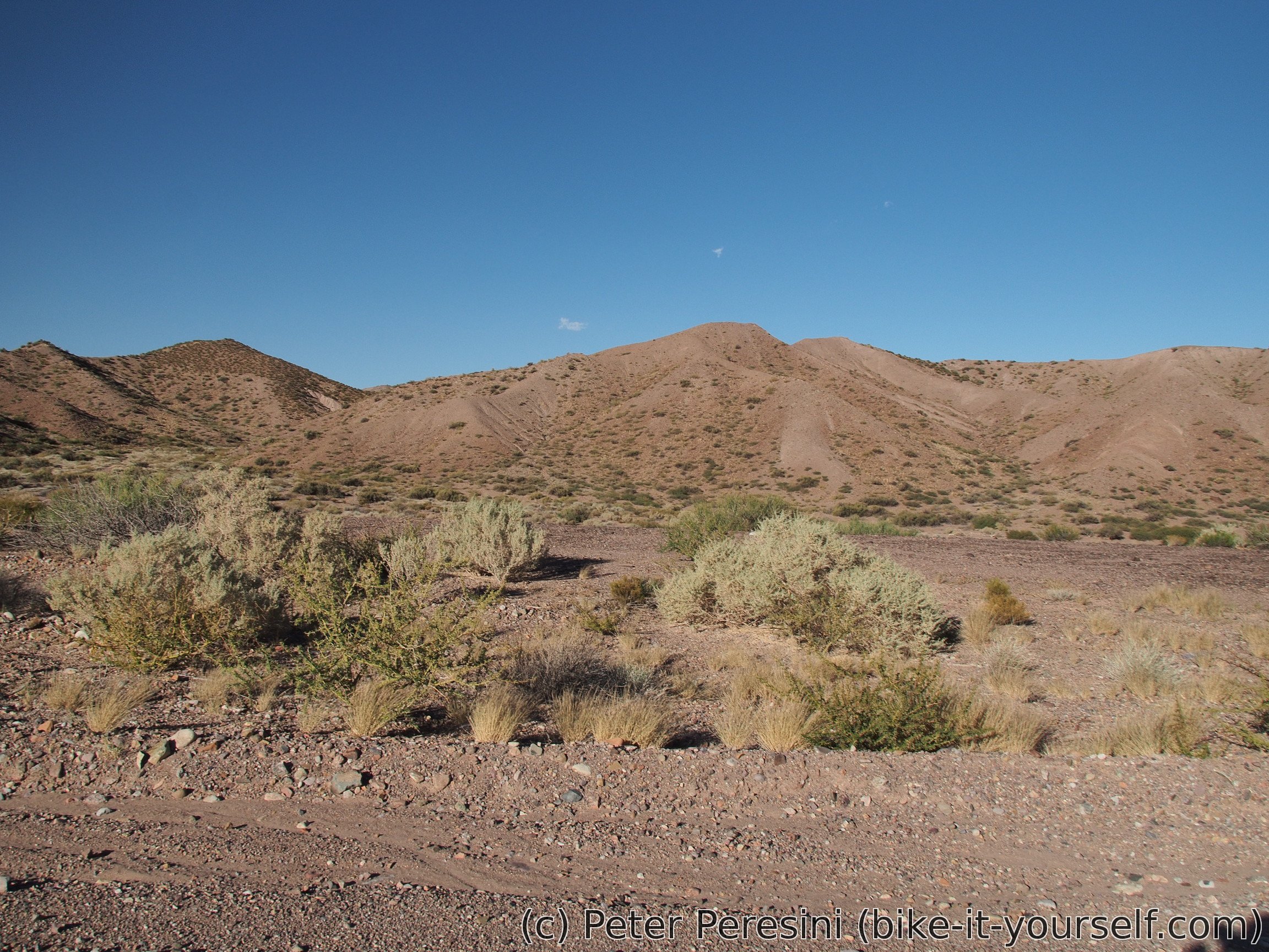
Around 20 kilometers into the day the road changes into a sandy hell -- the road basically becomes a riverbed during flash floods and as such it is very sandy. Fortunately for me the sand isn't deep so while I can't ride the bike it is reasonably easy to push it. And even more fortunately, after few kilometers the road gets progressively better (read: longer parts without pushing) until I can almost fully ride it again.
To my surprise, I even come across a herd of horses. They are too shy though. Not long after that I can see a statue of (probably) Jesus Christ on a hill to the right. I am too tired to make a detour there though. But by now it is not far to Tocota where I am getting water from a lone policeman.
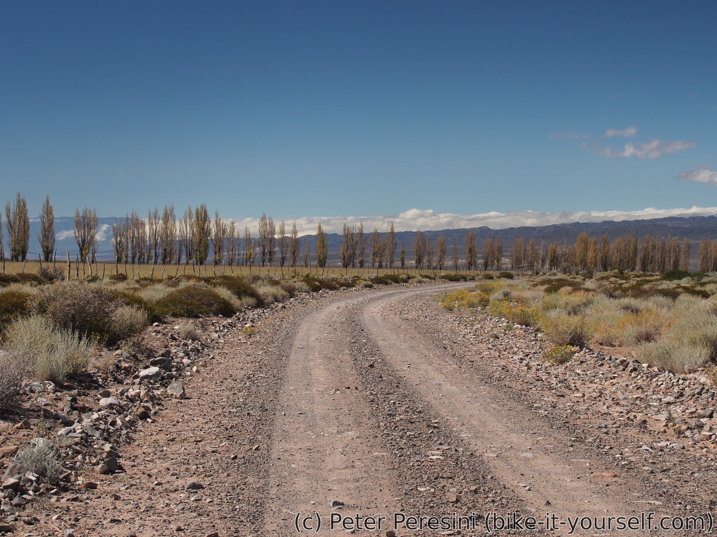
I am leaving Tocota at half past three with a hope to finish the remaining 35km and reach Iglesia till the evening. This turns out to be a bit optimistic. While the road starts good it quickly becomes very rocky. And around middle, around the place the electric line joins the road again was another pushing hell. Fortunately, this one was much shorter and going downhill helped as well.
Route
Download simplified GPX of a route here
Stats by activity:
| Activity | Distance (km) |
Ascent (km) |
Pedal rotations (thousands) |
|---|---|---|---|
| bike | 122 | 1.4 | 34 |
| Date | Distance (km) |
Ascent (km) |
Avg. temp (moving, C) |
|---|---|---|---|
| March 29, 2017 | 57.8 | 0.82 | 30.6 |
| March 30, 2017 | 63.7 | 0.60 | 21.8 |
Elevation data
The next table is only for cycling activity.
| Grade(%) | Ascent (km) | Descent(km) |
|---|---|---|
| < 2 | 50.3 | |
| < 4 | 20.8 | 14.4 |
| < 6 | 5.2 | 2.2 |
| < 8 | 1.6 | 0.4 |
| < 10 | 0.3 | 0.0 |
| ≥ 10 | 0.4 | 0.1 |