Tablachaca to Irupana (Yungas part 1)
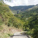
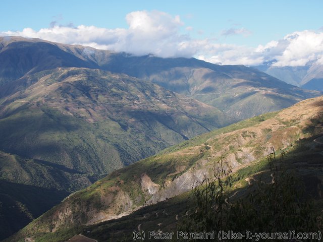
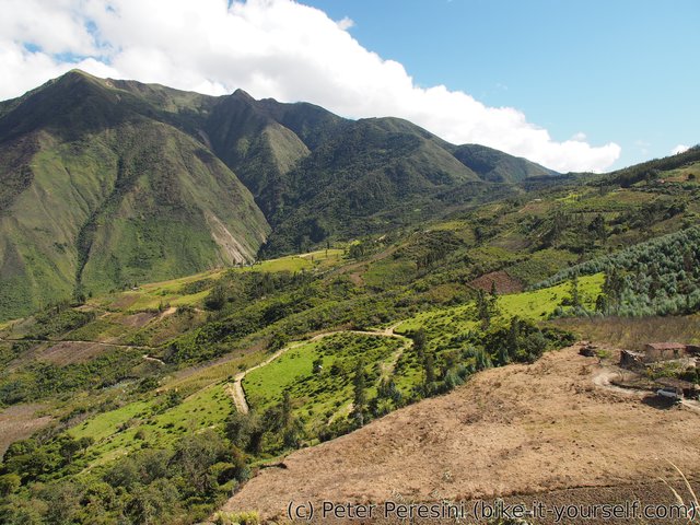
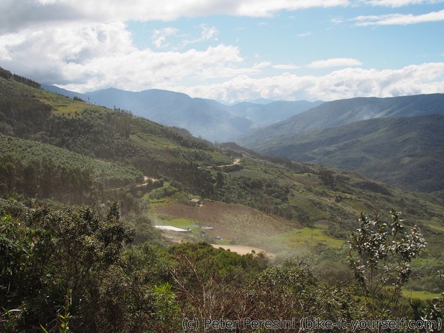
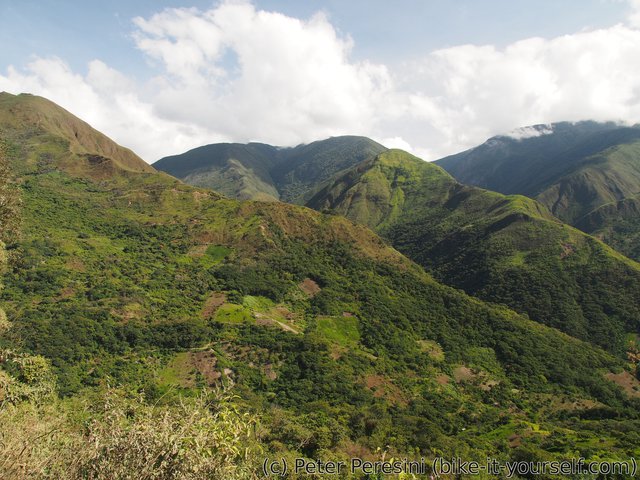
There is nothing more contrasting after months on Chilean, Argentinian and Bolivian deserts/altiplano than exchanging the views with fresh and green Yungas. I knew beforehand that this should be a nice route but the reality just took my breath away (sometimes literally as this is a route of constant ascents and descents).
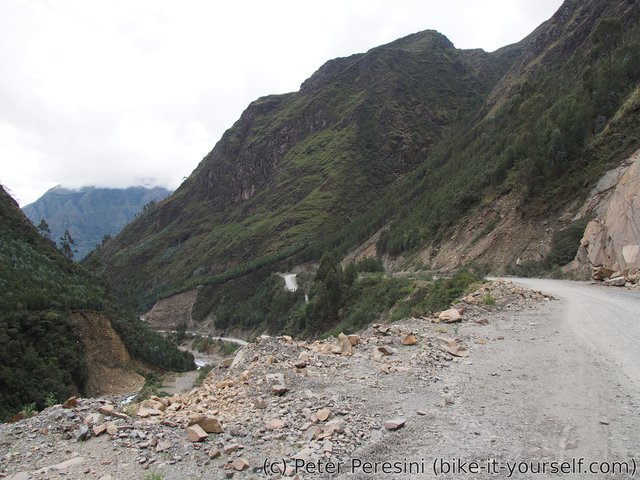
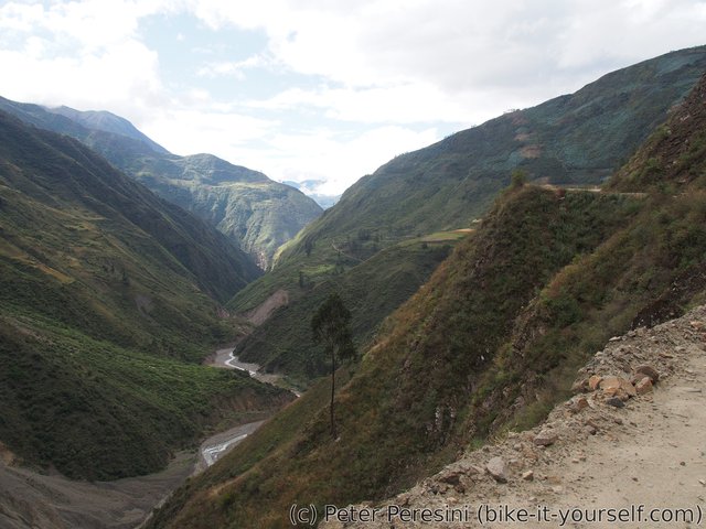
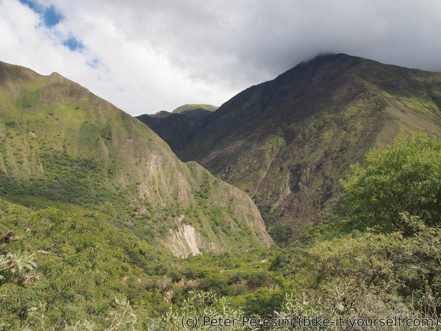
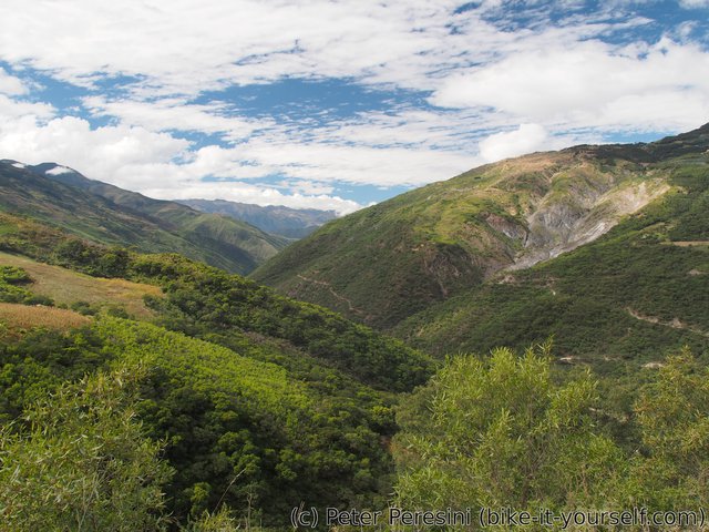
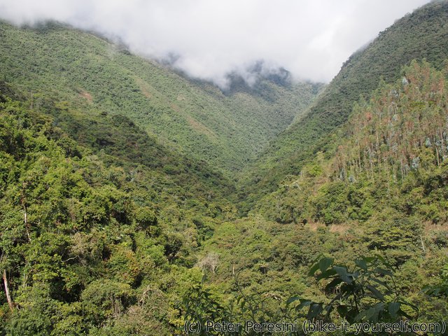
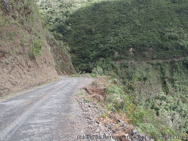
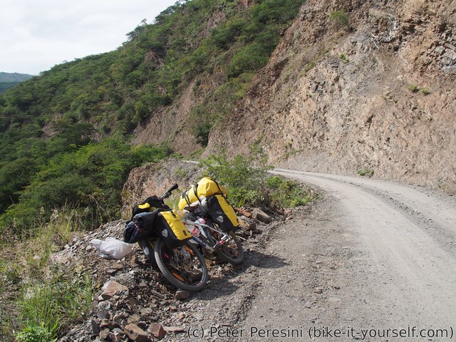
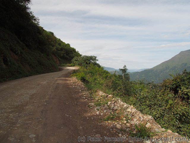
Being at rather low elevation on the fringe of the rainforest, Yungas provide all that you would be yearning for at altiplano -- the temperatures are warm (and sometimes hot), there are moskytoes (ok, you probably wouldn't yearn for that), everything is very green (although it is still far from the hardcore rainforest) and the roads are built in steep hills with amazing cliffs (just make sure you don't fall from the road). Basically, a step into a different world.
June 5
Because Tablachaca doesn't seem to have a restaurant/comedor I am forced to cook in the morning (and previous evening as well). This is actually a good idea anyway -- I could not hold my shopping reflexes in Eucaliptus and thus I am still carrying too much food which is just additional weight for the ascent.
After reducing my food stock I am ready to finally see (the eastern part of) Yungas. Or maybe not -- before I can enjoy all the green vegetation I still need to finish the pass through the snowy tops of Yungas. This means 17 kilometers of climb with over 400 meters of ascent.
The road first goes to Caxata, a small village above Tablachaca. On the way there I am encountering a rather sympatic small canyon. In Caxata I am stopped by a police checkpoint. Policeman are interested in things such as where I am going (e.g., Colombia), what I have in my bags (e.g. tons of heavy crap), etc. Meanwhile I am asking questions as well and the good news is that there is exactly zero centimeters of snow in the pass (I was a bit worried as the snowline seems to be lower than the pass).
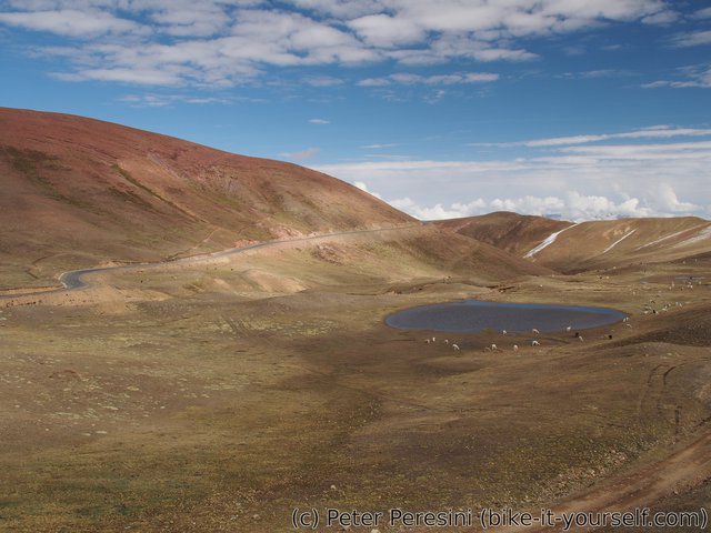
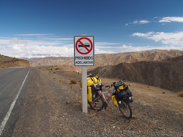
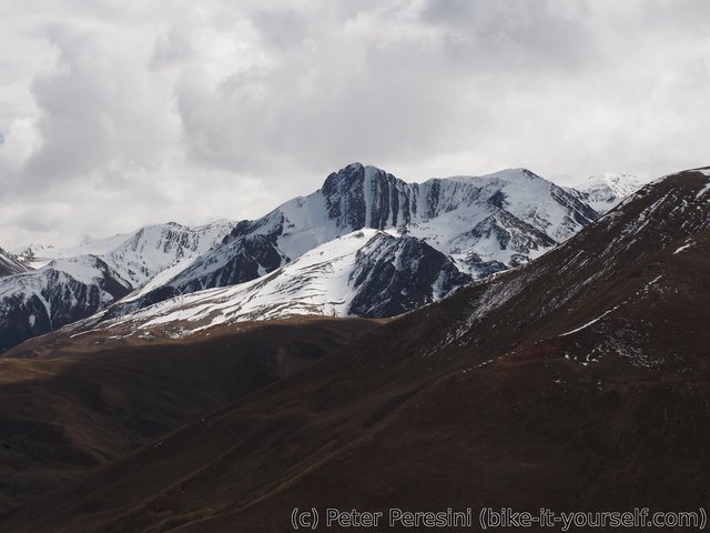
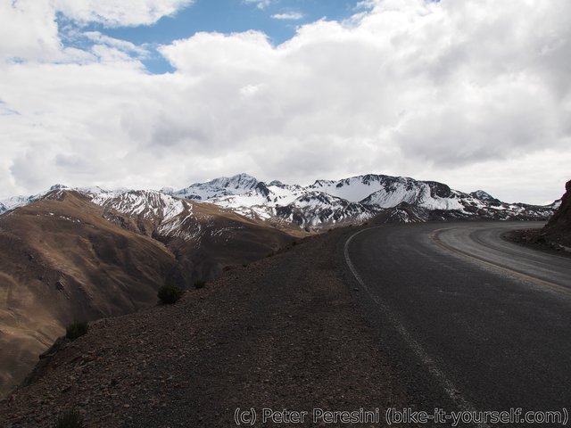
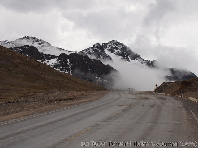
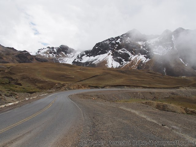
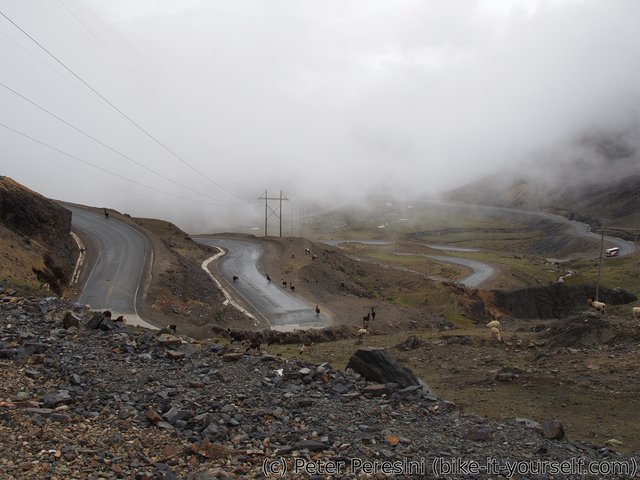
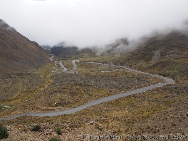
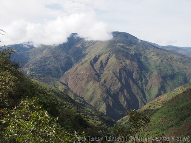
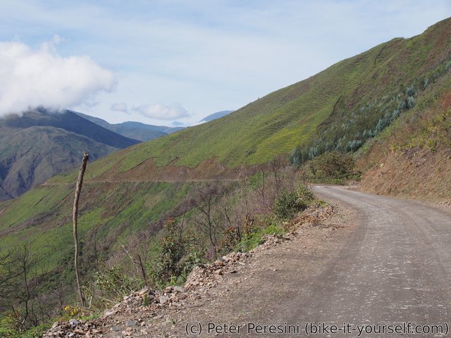
On the way to the pass the views are excellent. First I see another selection of colorful mountains. Later this is replaced by snowy peaks. I reach the pass (4715m) at noon. Now it is time for a really fast paved descent. Which proves to be very chilly -- there are heavy clouds above and it is windy as well. Plus, during the descent I actually pass through another clouds.
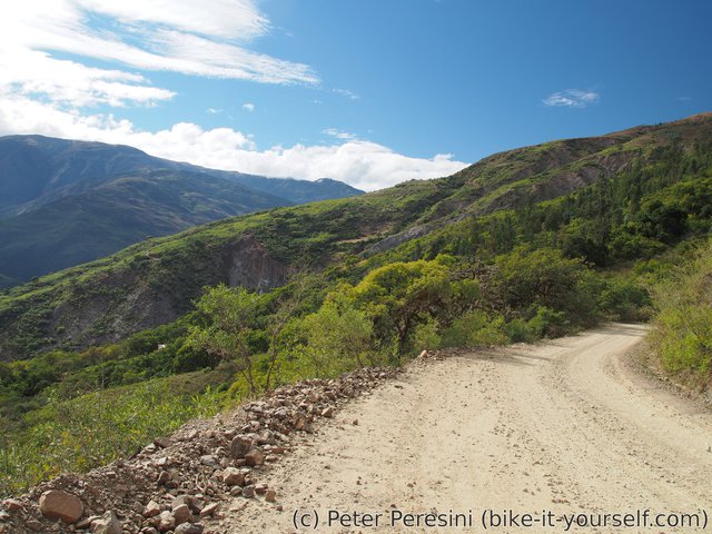
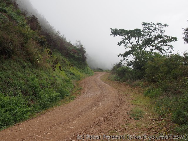
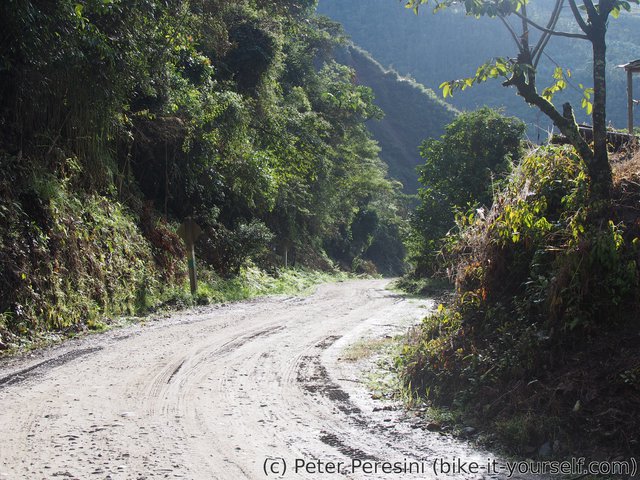
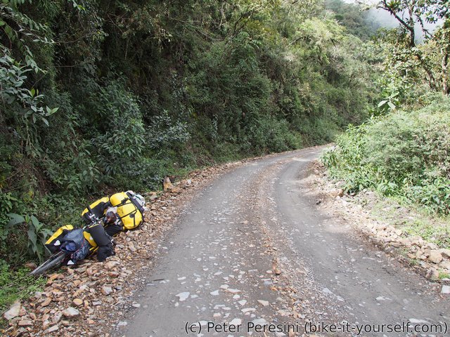
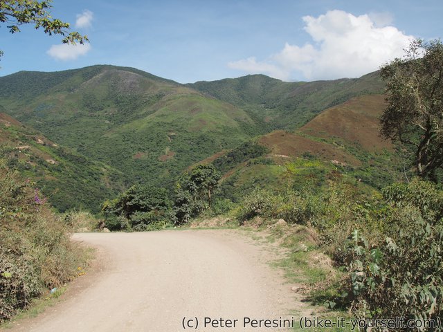
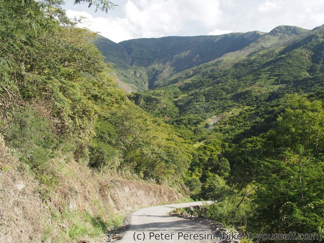
As I am descending the scenery quickly changes to greener. After a while even normal trees appear. The road apparently decides that I need more time to enjoy the scenery and so the pavement is replaced by a bumpy ripio.
When I descent to Quime it is time to find some good lunch. But instead of a good lunch I have bad news. After a few minutes rummaging through my panniers it is clear that I lost my wallet. I even remember the likely place -- at the top of the pass I was getting out my jacket and the waller probably fell out then.
To get the feel of the situation, just try to image it happened to you. One thing is that I lost a bank card (but fortunately I still have another one). The second thing is that I lost some money. But the worst thing is that there is probably no damn ATM on the way from here to La Paz which means really big trouble.
As there is no point in returning and looking for the wallet (I am not particularly inclined to go back 1500 meters of descent) I continue further down. I am still at 3000 meters of elevation but it is already quite hot and humid. I did not even know how much I yearn for "home" (i.e., European scenery) until a normal green grass appears. As I pass through small villages I instantly raise a lot of ruckuss -- all the kids now seem to yell "gringo!".
I am finishing the day in Inquisivi - a bigger village. There I am super-lucky -- while I am learning that the next ATM really isn't going to appear soon, one of the policemen is regularly going to Chile and he agrees to exchange rest of my Chilean pesos (I wonder why I didn't get rid of them in Uyuni) to Bolivianos. And while the exchange isn't with a particularly good rate I am more than happy to get rid of the unneeded currency for badly-needed bunch of papers.
June 6
The morning doesn't start in the best way. I have a mild case of diarhea. Fortunately, nothing critical so I don't bother getting any medications. Apart from my stomach, weather seems to be also in a bad mood as it is drizzling. The drizzle however quickly stops and the Sun appears.
As Yungas have more water sources around than altiplano, I decide to get rid of two of my water bottles. This also means that I can finally close my Ortlieb panniers -- on the dry Atacama and Bolivian altiplano I used the additional space of unclosed panniers to carry water but now I would rather have them closed in case of some rain showers.
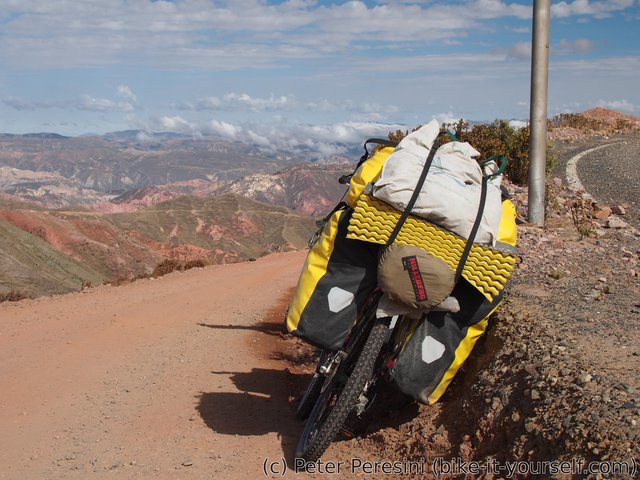
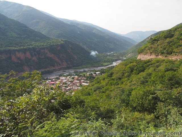
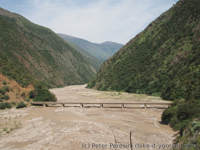
The first thing after getting a breakfast is to get acquainted with standard Yungas-ian road topography. That is, I need to go down to the valley just so that I can then climb to the same elevation on the other side. So I get down 600 meters to "only" 2100 where I pass a bridge over a river and the ascent starts. Of course, the ascent is quite steep (though not impossibly). The problem is however the heat -- once the Sun appears it is very hot, especially when pedalling uphill.
When I finally get to a pass at 2800 I am completely wet. But the reward is another descent. This time I am going down to 2000 meters. Just before the bottom I pass through a bigger village of Licoma. There I am meeting two cyclists -- a german girl cycling from Cusco and a Canadian guy who made it all the way from Alaska.
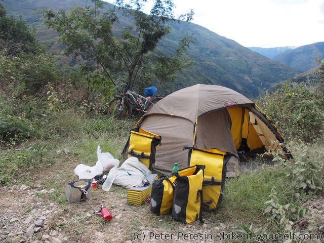
As there is still some time left until the sunset, I decide to continue further down. There I get water for camping and start climbing again. I do not go much further though. Just after a brief climb I find a big enough spot to hold my tent and bicycle -- something that is too scarce on this road as it is built into a steep hill. Considering my chances of finding something else, I quickly decide that this is it and prepare for a warm night in a tent.
June 7
As it is drizzling during the night and in the morning as well I am not really motivated to start pedalling soon. Instead, I lay in my tent and read a book. When the weather finally clears a bit in a late morning a I pack my half-wet tent and start the uphill climb. Unfortunately, I am not making it far today. The rain comes back around noon and this time it is more insisting than a small drizzle. I try to hide under some house in a hope for the weather to clear off. Unfortunately, two hours later the rain is still in a full swing. So I decide to camp a bit back, just next to a bridge over a river. Of course, the rain diminishes after I construct my housing for the night but now it is too late to pack again and continue. Instead, I enjoy more of the book I was reading.
June 8
One would expect that nights at 2000 meters should be quite cold. This maybe holds in Europe but definitely not here in Bolivia. I am glad for my two-not-extra-warm-sleeping-bag-setup because now I can use only one.
The morning remembers nothing about yesterday's rain. As I am eating through my breakfast I have a visit from an old man living in a house just over the bridge. We have a small conversation and then I start working on packing my things.
The fun fact I am observing for a few days now is that these people must be really poor. It is obvious that most of these people can't really afford own car and so most of them ride motorcycles. But what I mean by really poor is that they can't afford much gasoline. Otherwise I cannot explain why every damn moto is going downhill with engine turned off.
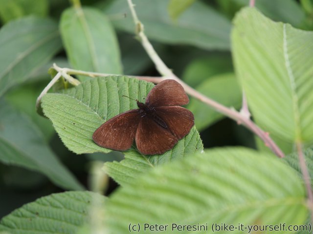
From the morning I continue on the climb. This goes some hot 800 elevation meters until I reach a pass. And as soon as I do cross it I end up in clouds so all the views are gone. Except for views of butterflies which are flying all around me. With no views I decide on a cookie-break -- I plan to eat a real lunch when I descent down to Circuata.
After the short break I resume the descent to Circuata. Fortunately, just after a while I get out of the reach of clouds and I can already see the town in the distance. A bunch of kilometers more and I am there.
In Circuata I first get a lunch from a local comedor. Not the best food ever but it does the job of refueling my empty stomach. Next I hunt the shops for all the important stuff. This ends up quite interestingly -- I can get some interesting things such as peanuts but the shops are out of bread (I would need to wait until afternoon) and no chocolate for my breakfast (though the chocolate I got in Inquisivi wasn't too good).
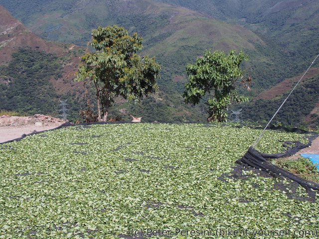
Next I continue down another 800 elevation meters to San Miguel so that I can start climbing again. As I am exitting Circuata I am observing lots of people drying tea leaves on every flat space available. It takes me quite some time to realize that this actually isn't any standard tea but coca leaves.
Being on a fringe of rainforest has its disadvantages too. The foremost example are moskytoes. These buggers aren't like European bombarders which you can hear and see from a kilometer or so. No, these are tiny little bloodsuckers which remind me fruit flies. And most of all, they have apparently foot fetish -- while my hands have two or three bites, my feet look like a toadstool with inverted colors.
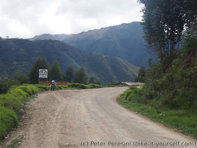
The descent to San Miguel is through a nice valley but proves to take more time than expected. So I decide to stay in the village for the night. I stay for the night in a residencial which also is a bakery so my bread problem goes instantly away. And as usual when staying for a night in a village, I try to get some dinner. By now you should guess that this is fried chicken with (homemade) fries.
June 9
The breakfast selection of San Miguel is really disappointing. I end up eating only pastries after I fail to find open restaurant or street food. Not the best start of the day with two hard climbs -- one 600 and second one 1100 meters to Irupana.
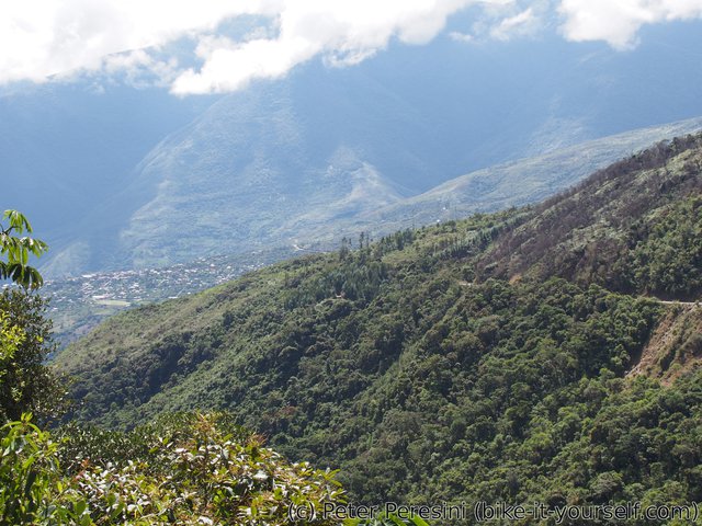
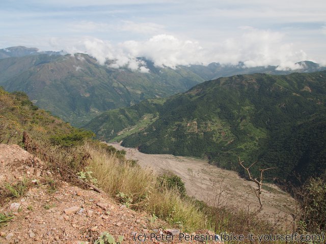
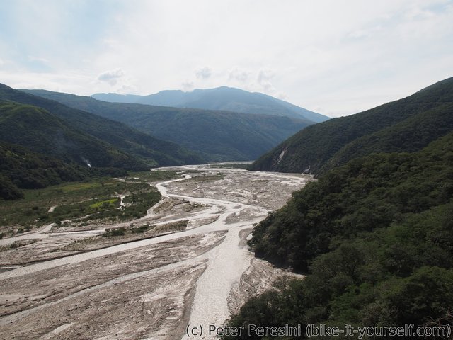
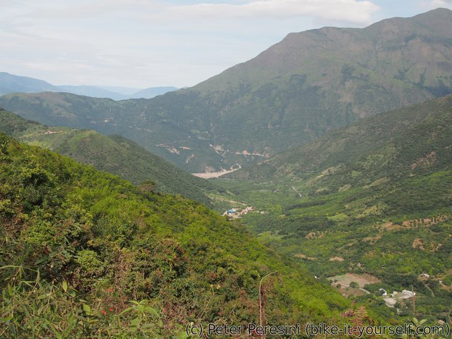
The first climb is steep. I am sweating a lot even though it is a bit overcast and not extremely hot yet. From the top of the climb I can see "delta" of La Paz river. As the road will get down to a bridge, I will have a chance to see this wide river with grey sediment color more closely. But shortly before that I am having a snack break.
After the bridge my second climb starts. While it is still a bit overcast, the Sun can be felt and my T-shirt feels like after bathing. This is partly cause by a fact that the road builders were quite generous on gradients -- the road is damn steep.
As the road steepness is killing me, I decide to take a longer break and reduce my lunch to nothing. Afterwards I continue though my motivation to constantly kick this stupid beast of mine (i.e., the bicycle) is quite low.
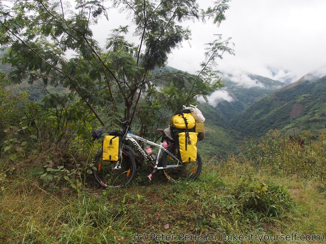
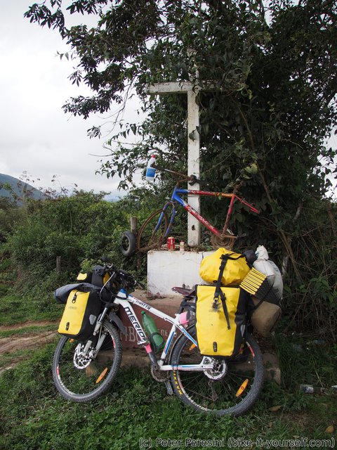
In the end I reach the pass after a hard battle with the road. I had a good time so there was no point in camping sooner than needed. But the main point is that I am out of water and there was nothing on the ascent. In other words, I need to reach Irupana today. Or maybe not -- by the time I reach the pass the overcast turns into solid clouds and I hope to get down sooner than the main rain starts. So after a short photo-break at the top with a "monument" consisting of a cross and old rusty bicycle, I expedite my ride down.
I reach Irupana just as drizzling starts. In the town there is no ATM (ok, there is one but it doesn't accept international cards). However, to my surprise there is a lady exchanging US dollars for Bolivianos. While I still have some cash I use this opportunity to get a bit more of it. I find my place for the night in Albergue and then roam the streets around the centre of the city. There is quite lively central market with people selling all sorts of things. I guess I don't need to tell you what I have for the dinner ;-)
Route
Download simplified GPX of a route here
Stats by activity:
| Activity | Distance (km) |
Ascent (km) |
Pedal rotations (thousands) |
|---|---|---|---|
| bike | 208 | 4.4 | 57 |
| Date | Distance (km) |
Ascent (km) |
Avg. temp (moving, C) |
|---|---|---|---|
| June 5, 2017 | 64.2 | 0.67 | 11.4 |
| June 6, 2017 | 42.3 | 0.82 | 22.5 |
| June 7, 2017 | 9.7 | 0.31 | 15.9 |
| June 8, 2017 | 52.5 | 0.84 | 22.7 |
| June 9, 2017 | 39.9 | 1.75 | 24.2 |
Elevation data
The next table is only for cycling activity.
| Grade(%) | Ascent (km) | Descent(km) |
|---|---|---|
| < 2 | 23.1 | |
| < 4 | 6.1 | 8.8 |
| < 6 | 10.7 | 11.8 |
| < 8 | 12.7 | 22.7 |
| < 10 | 7.6 | 9.3 |
| ≥ 10 | 6.5 | 13.1 |


Amoxicillin 875 Milligrams Amoxicillin And Alcohol How Much Amoxicillin Should I Take <a href=http://viaapill.com>buy viagra</a> Avec Priligy Viagra Keflex And Hcpcs Bentyl Australia Delivered On Saturday Without Rx
hockey tips https://1xbet-app.com.br/1xbet-brasil/ hockey tips
generic tadalafil https://elitadalafill.com/ what is tadalafil
zithromax 250 https://zithromaxes.com/ zithromax for flu
erectile massage rochester ny https://plaquenilx.com/ natural erectile supplements
cloraquine https://chloroquineorigin.com/ chloroquinne
<a href=http://vscialisv.com/>cialis generic name
tadalafil online with out prescription <a href="https://elitadalafill.com/">tadalafil tablets ip</a> how long does tadalafil last
vardenafil vs tadalafil <a href="https://elitadalafill.com/">generic cialis</a> purchase peptides tadalafil
<a href=https://vsprednisonev.com>be tab prednisone 5 mg
<a href=http://vsviagrav.com>directions for viagra use
<a href=http://vsviagrav.com/>buy viagra online inu</a>
<a href=http://vslasixv.com/>amiloride furosemide</a>
<a href=https://cialiswwshop.com/>real cialis online</a>
is chloroquine phosphate over the counter https://chloroquineorigin.com/# what is hydroxychloroquine prescribed for
cialis 20 mg <a href="https://cialiswithdapoxetine.com/#">cialis coupon</a>
cialis coupon <a href="https://cialiswithdapoxetine.com/#">cialis tadalafil & dapoxetine</a>
cialis tablets <a href="https://cialiswithdapoxetine.com/#">cialis black is it safe</a>
https://cialiswithdapoxetine.com/ buy cialis online
cialis online <a href="https://cialiswithdapoxetine.com/#">buy cialis online</a>
<a href="https://chloroquineef.com/#">hydroxychloroquine over the counter</a> plaquenil pregnancy
hydrochlor <a href="https://plaquenil-hydroxychloroquine.com/#">chloroquine dosage</a>
buy cheap zithromax online <a href="https://zithromaxdot.com/#">buy cheap zithromax</a>
zithromax antibiotic <a href="https://zithromaxbtc.com/#">zitromax</a>
<a href="https://zithromaxeth.com/#"></a>
cialis 20 mg https://cialiswithdapoxetine.com/
<a href="https://zithromaxads.com/#">buy online zithromax</a> antibiotic zithromax
buy zithromax azithromycin <a href="https://zithromaxbtc.com/#">zithromay</a>
<a href="https://zithromaxetc.com/#">zithromax purchase</a> zithromax capsules
https://cialiswithdapoxetine.com/ cialis alternative
<a href="https://cialiswithdapoxetine.com/#">cialis tablets</a> cialis alternative
Undeniably believe that which you said. Your favorite reason seemed to be on the net the simplest thing to be aware of. I say to you, I certainly get irked while people consider worries that they just do not know about. You managed to hit the nail upon the top as well as defined out the whole thing without having side-effects , people could take a signal. Will probably be back to get more. Thanks
<a href="https://stromectoleth.com/">ivermectin 0.1 </a>
buy modafinil pill <a href=https://modafinilex.shop/>modafinil 100mg for sale</a> generic provigil
hydoxychloroquine https://keys-chloroquinehydro.com/
hydroxychloroquine 200 mg tablet <a href="https://keys-chloroquineclinique.com/#">plaquenil cost</a>
http://erythromycin1m.com/# erythromycin drug class
Hey! I know this is kind of off topic but I was wondering if you knew where I could locate a captcha plugin for my comment form? I'm using the same blog platform as yours and I'm having problems finding one? Thanks a lot!
Hmm is anyone else encountering problems with the pictures on this blog loading? I'm trying to figure out if its a problem on my end or if it's the blog. Any responses would be greatly appreciated.
<a href="https://www.candipharm.com/# ">candipharm</a>
<a href="https://www.candipharm.com/ ">candipharm.com</a>
<a href="https://www.candipharm.com/# ">candipharm</a>
<a href="http://www.candipharm.com/ ">www.candipharm.com/</a>
chloroquine uk buy <a href="http://www.hydroxychloroquinex.com/#">http://www.hydroxychloroquinex.com/#</a>
<a href="http://hydroxychloroquinex.com/">chloroquine phosphate 500 mg</a>
<a href="https://www.hydroxychloroquinex.com/#">https://www.hydroxychloroquinex.com/#</a> chloroquine otc
Ovarian reserve has traditionally been measured by FSH concentrations on cycle days 2 or 3 13 but of late Anti- Mullerian hormone AMH has attracted more attention and has, been suggested as a more specific reflector of ovarian activity <a href=https://cials.buzz>generic cialis online europe</a> Best of Deadline