Soras to Vilcashuaman
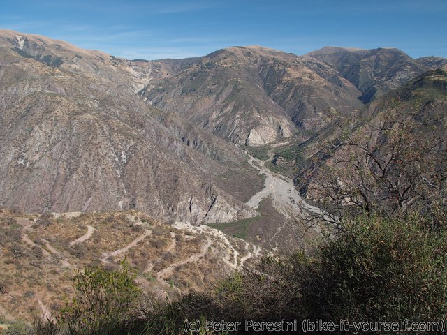
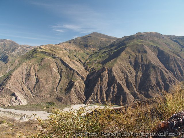
On the rest of my way to Vilcashuaman I continue with the usual Peruvian style of first climbing high up just so I can descend deep down into a valley to cross some river. And what a deep valley it is -- it takes me day and half just to climb back and finish in Vilcashuaman where there are interesting Inca ruins to explore.
August 9
From Soras still have more than 2 hours to Autuma, the place I originally planned to stay at. While the scenery looks just a bit hilly the road already starts noticeably climbing. When I finally reach Autuma I am a bit surprised -- the village looks bigger on map than in reality. And it is certainly way more quiet than I expected. I am not even sure if I would be able to find a working hospedaje here. In any case I get ready for the next climb by a short visit to local tienda which yields an insulin-bomb cake.
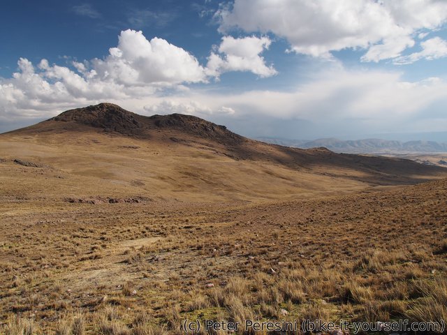
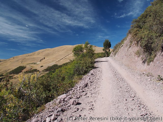
From Autuma the real climb begins. My plan is to climb more than 600m and reach 4400m high pass today. By the looks of it it might be quite quick if the initial grades keep going. With the climb comes chilly wind. Moreover there are unusually many clouds in the sky. All in all, I end up switching between warm and less warm layers every few minutes depending on how well the Sun plays hide-and-seek at the moment.
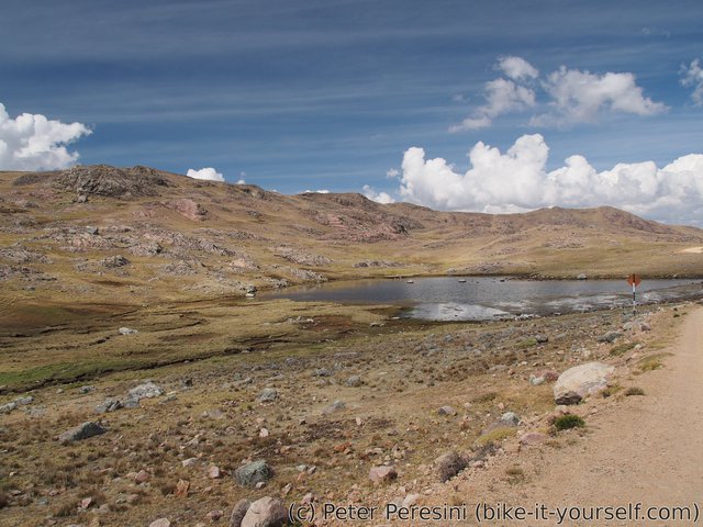
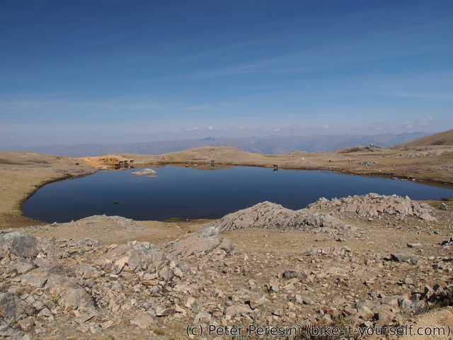
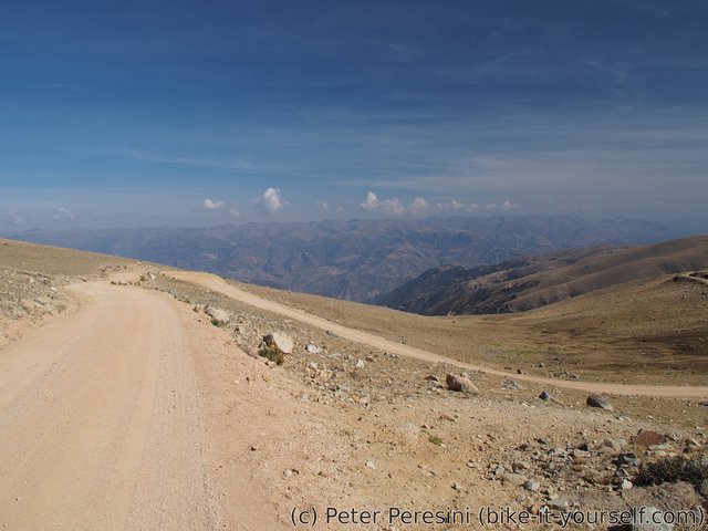
I pass around a nice lagoon, finish a steeper climb and suddenly I end up on altiplano. There is still some vertical meters to make but it looks like they are going to be undulating and spread over a long distance. Because my bike thinks I don't have enough technical problems it comes up with a new one. Just as I am descending a bit my rear brake starts to make screeching noises. Definitely not something that I could not overlook. It turns out that the piece of metal that puts away brake pads somehow got into rotor, bent and now it is hopelessly scratching the rotor. While nothing to worry about (I have a bunch of spare pieces and in the worst case one can go without this piece of metal) it takes me precious time to fix the damn brake.
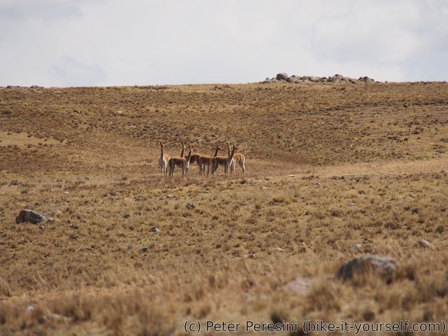
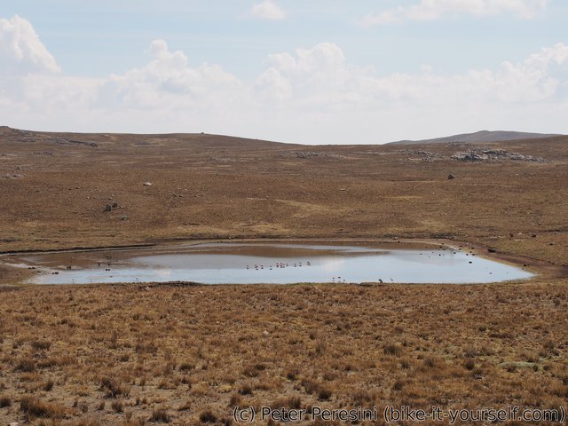
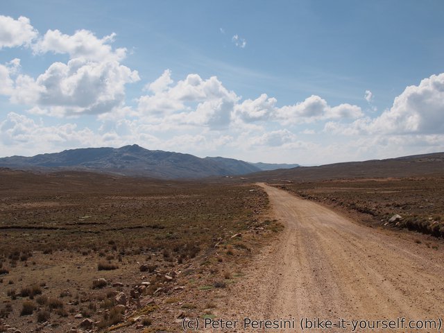
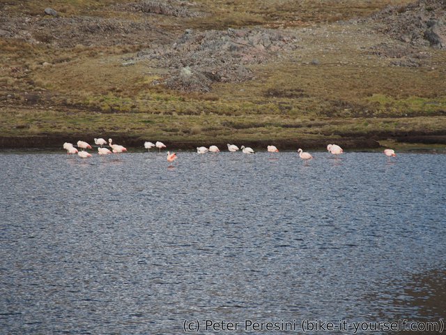
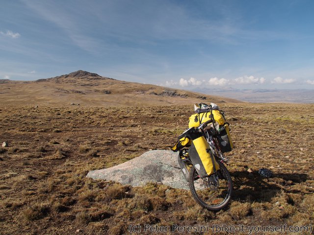
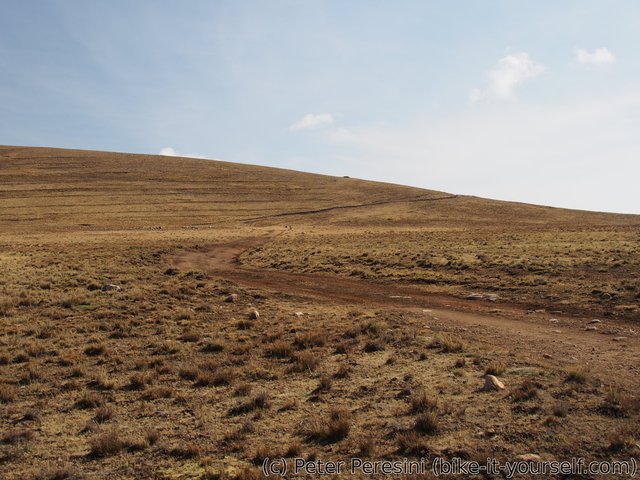
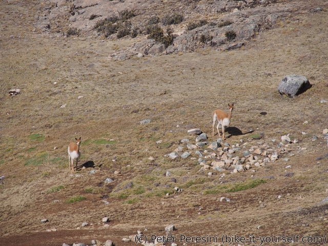
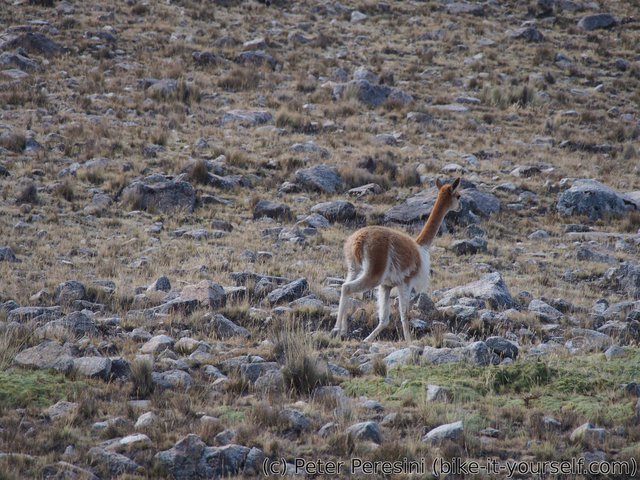
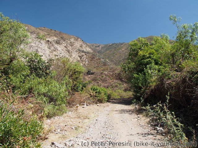
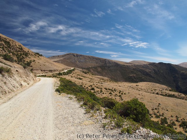
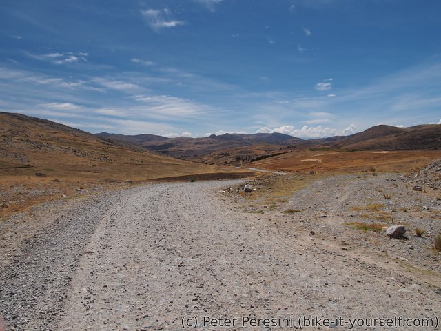
Resuming I continue undulating on the altiplano full of vicuñas (but otherwise a bit boring) until I hit only what could be called a shortcut. And not a good one. The road quicly turns into doubletrack which gets quite rocky. Riding this part is fun but excruciacingly slow with some short sections that need pushing. At this point it is becoming more and more clear that my grand plans of also getting down from the pass are quite unrealistic. And I am running low on water. There is lagoon on the way so I decide to fix this particular problem. Unfortunately, it is so damn dirty that I just pass this opportunity. To my luck another lagoon appears a bit later on. This time I know I have to get the water anyway so it is only relief to find something less muddy.
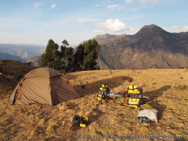
With the brake-fixing and slow shortcutting I finish the day with a rather small distance. But at least I reached the pass and I camp just a bit downhill from it in a saddle. This proves to be a bit unpleasant -- with the evening some heavy clouds drift in and I can even hear some thunder in a distance. Being in such an open space is definitely not a good idea (but then, it would not be easy to get away from here). Fortunately, the distant thunders quickly die and I am left only with a night drizzle.
August 10
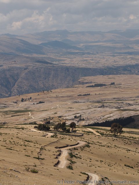
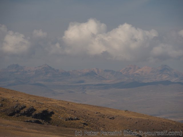
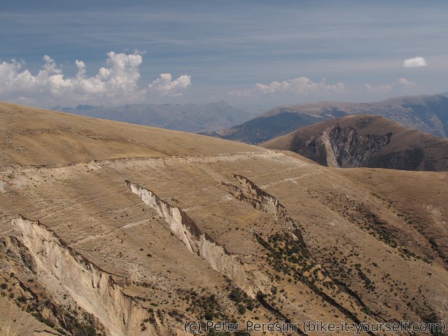
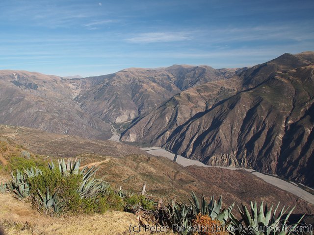
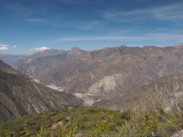
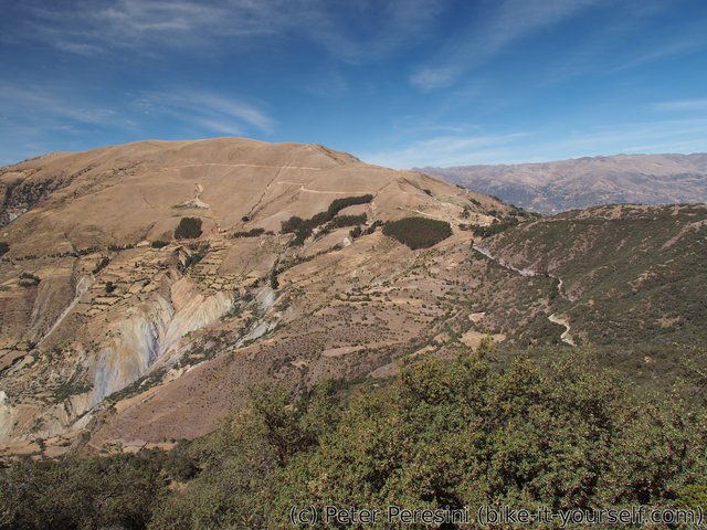
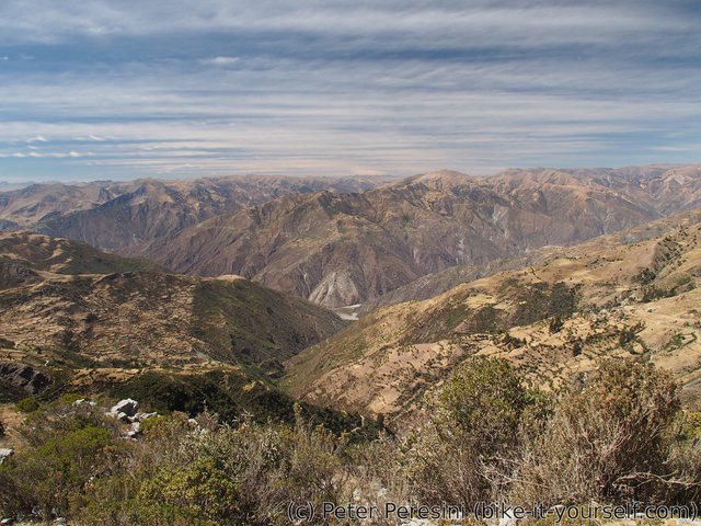
With the night's rain freezing during the night it takes me some time to un-freeze my tent in the morning and by the time I start moving the Sun is already high in the sky. The day starts with a few undulations. Yesterday's vicuña safari continues and I manage to see two or three rabbits as well. Then I start the first long descent of the day which leads into Putonga village. The scenery around is like a geology class -- I can see deep canyons suddenly forming on the sides of a hill.
Putonga means start of a 200m climb but before I can tackle this challenge I am invited by the locals to a chicha drink. A good portion of sweating later I can resume fast progress by another long descend to Chilcayoc. Seeing a restaurant I stop there to reassure my stomach that everything is going to be good.
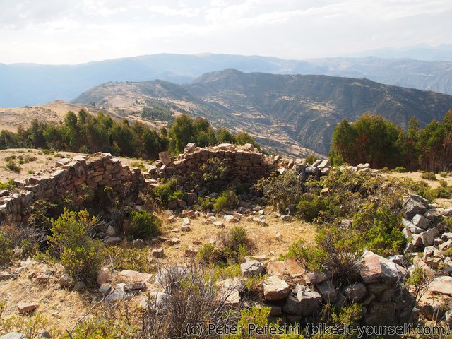
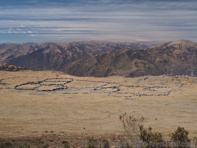
From Chilcayoc I still need to tackle 400m climb so my idea of getting today past bridge is definitely not doable. Instead I decide to make a small detour and pay visit to Pucara archeological site which I discovered when looking around on GPS. So I cycle a bit more uphill, leave the bike and start tracking the GPS waypoint on an bush-rocky-cactusy hill. It takes me a bit time to find a reasonable way so I am quite disappointed when I arrive at the place just to figure out that there isn't much to be seen. Rocky base of some round building is probably the only recognizable history here.
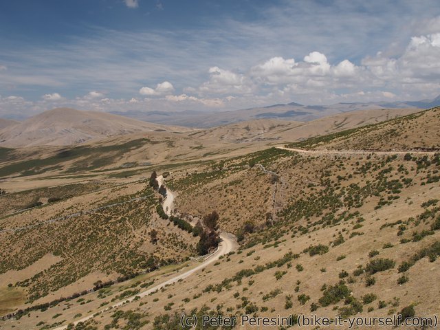
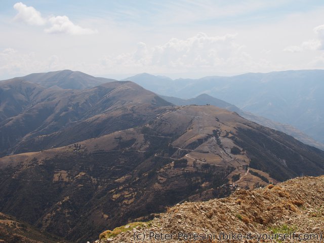
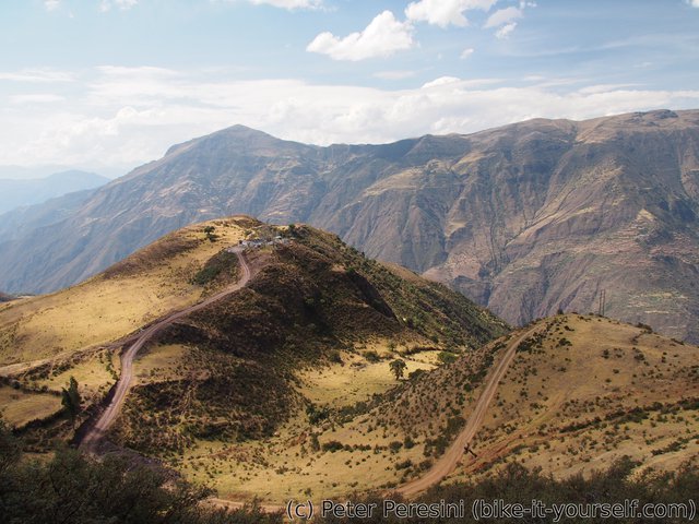
From Pucara I decide to take a rather short shortcut to Chalcos. This probes to be a questionable idea -- the road is dusty and super-steep so I end up pushing the bike downhill. Or, sometimes, bike pushing me downhill. A quick stop in local tienda and I have a bit more sweet things in my bags plus a lot more water. With this I start the last descent of the day. Just as I am closing on Belén I find a perfect camping spot -- a flat patch of grass near a switchback which has amazing views in almost all directions.
August 11
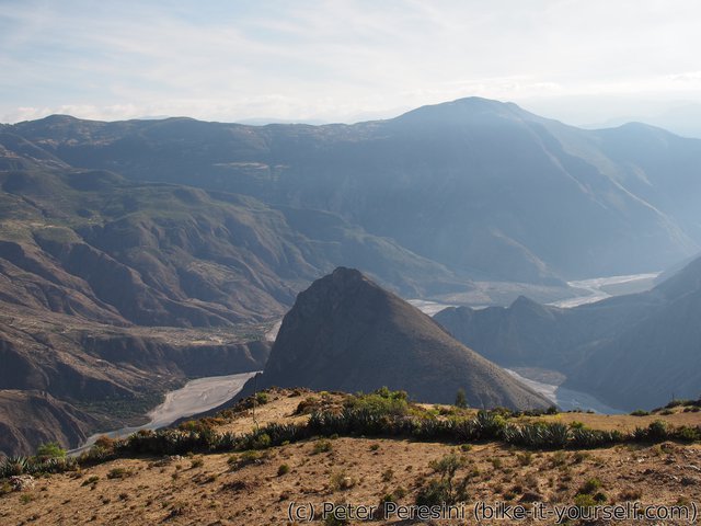
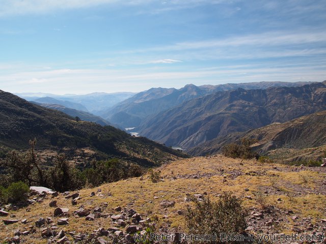
With dry night and nice morning I manage to start rather early. Which is good because the first plan of the day is to finish the last 1000m of descent. Afterwards a long ascent (1800m but I plan to split it between two days) awaits and it would be nice to start it sooner than the temperature goes into historical highs.
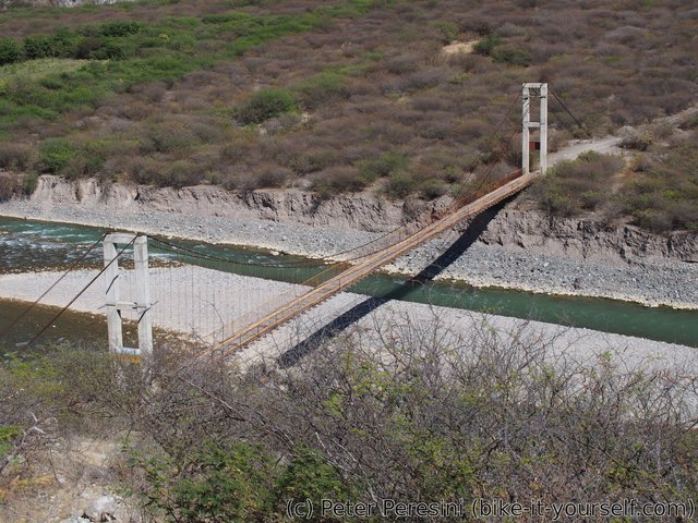
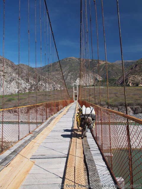
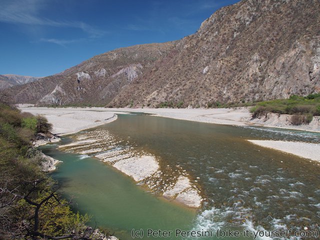
I quickly pass around Belén and a bit later around small village of Socos. From there the road quality gradually worsens and I am glad that I won't be climbing this steep loose-rocky road. More descent and I finally reach a "pedestrian" bridge over rather big Rio Cangallo. I say "pedestrian" because it is apparently built to handle small cars as well and the only reason to not try it is a big sign with penalty warning.
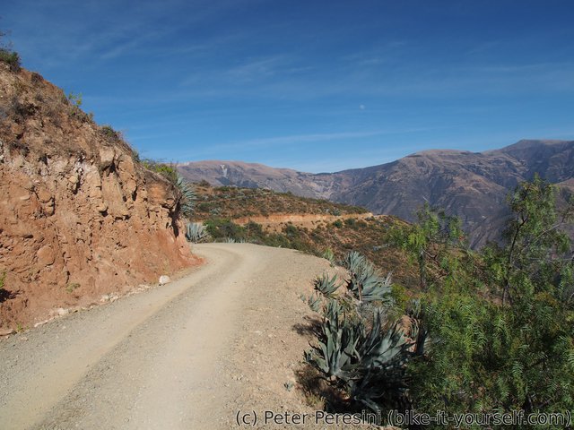
The road on the other side of the bridge is loose-rocky crap, at least until Anta. From there it is a bit better. Just a bit after Anta a break awaits me -- an old lady sees me cycling up and I am invited for homegrown oranges and some other fruit (which I don't remember the name). I am left with a rather big bunch of fruits to eat and even more por ruta. Fortunately, I am saved by another visitors -- probably acquittances/kids of the old couple -- so I politely finish what I am eating and get going after I really thank them for the hospitality.
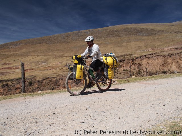
With the long descent and my fruit-eating visit the Sun is now definitely on the roll and turns the climb into a hell. Not that I would need Sun to do that -- the climb itself is super-steep and, as if not enough, also quite loose-rocky. This means a lot of short pushing sections because I just can't keep the bike going without it trying to kick me off. Add to it the tiny blood(y) flies which swarm me over each time I keep still for a while and you have the picture.
As if I haven't had enough of trouble on my own the bike decides to add more to it just 200m below Pongococha. The story goes as usual -- I start feeling that my back wheel is somehow soft, a bit later the feeling gets into a suspicion when I hit rim on some rocks and a subsequent check reveals that indeed I have a flat. Fortunately, this time the flat seems to be small so I decide just to pump in the air and continue further.
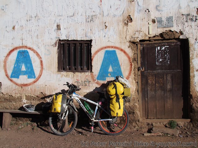
In Pongococha I don't see any people until I almost climb out of the village. Then I spot an old couple which actually runs a shop. After a bit of talking it looks like there is no restaurant here but they offer me part of their dinner so I can't say no. Even better, I am then showed to another old lady which runs an actual hospedaje -- something I didn't even hope to find here. Of course, hospedaje is quite basic -- it is just a room in an old house with a bed. And there isn't even electricity (it looks like somebody forget to hot-wire the cables that are going to the electric socket). So I get back to my bike and work on fixing the flat -- this time the culprit is a small thorn which broke and is stuck in the tire. It takes me quite some effort to get it out.
August 12
In the morning I again pay visit to my "favorite" tienda and ask if they can prepare a breakfast for me. With a bit of convincing they can and I even get a set of sandwitch con huevo for the lunch. I am also quite lucky as the lady yesterday asked me if I don't want miel and for sure I want -- my stock is slowly running out and it is hard to buy honey in small enough quantities.
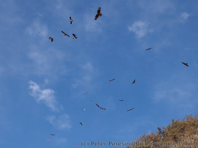
With my stomach satisfied I jump head-on to the rest of the climb. Just before Pitec I manage to scare some birds. This wouldn't be noteworthy hadn't it been a large bunch of big birds which then decide to circle above me and perform some stellar manouvers chasing each other.
Pitec is a small village with some facilities but I don't bother to stop there. Instead I continue the climb until I finally reach the highpoint of 3950m. From there it is 20 kilometers of (mostly) gentle descent to Vilcashuaman. Unfortunately, this part of the road isn't in the best shape for cycling -- the road is built out of big rocks. And while these aren't loose they are definitely downright bumpy, especially on my 26" wheels. It is therefore relief to arrive to Vilcashuaman. I check in to the first hostel I see and only later realize this probably has been a big mistake -- while the place is cheap it doesn't have hot shower and neither internet. As if to irritate me I later find out that just on the corner there is another hospedaje which proudly displays WiFi sign (though, this doesn't necessarily mean it would be working).
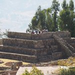
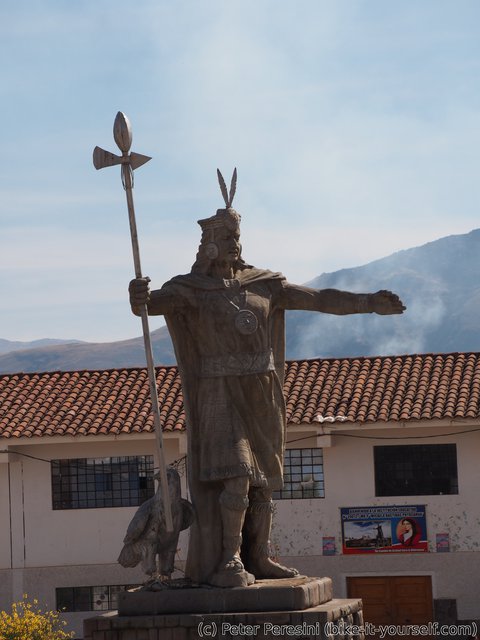
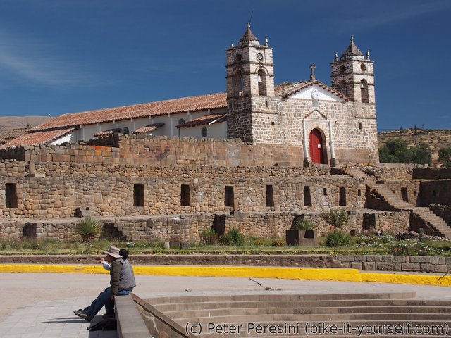
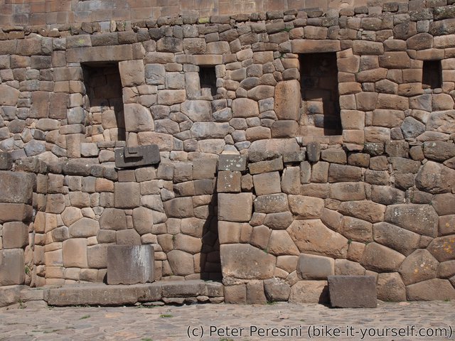
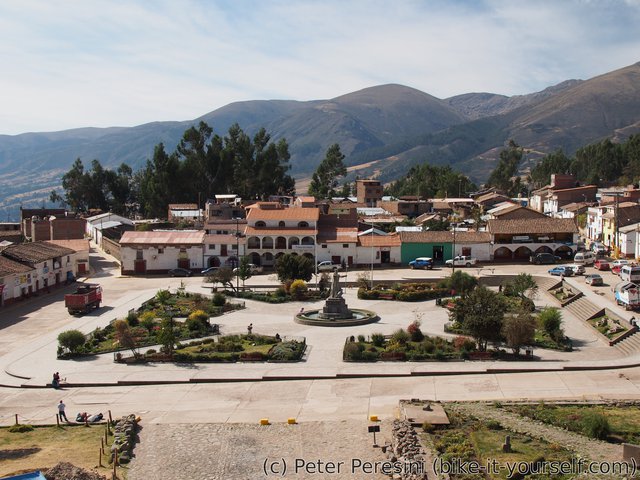
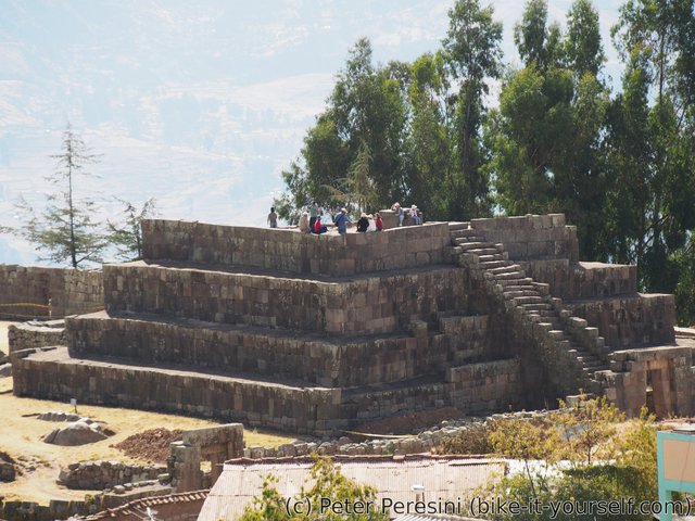
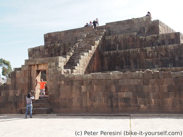
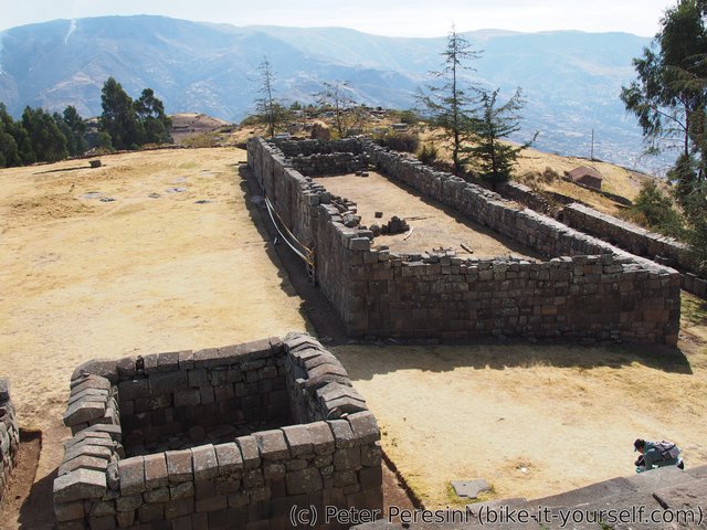
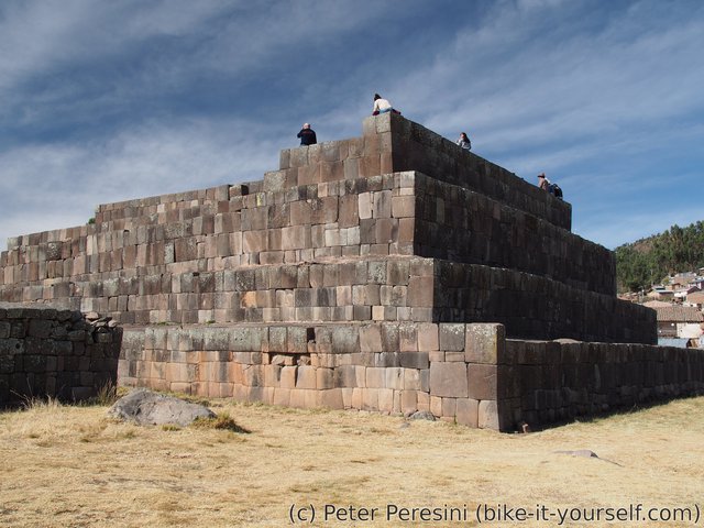
I use the rest of the day to explore Vilcashuaman. And there are definitely things to explore -- starting from a big (Spanish) church build on top of Inca Sun temple to pyramid and other Inca structures.
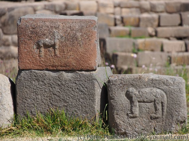
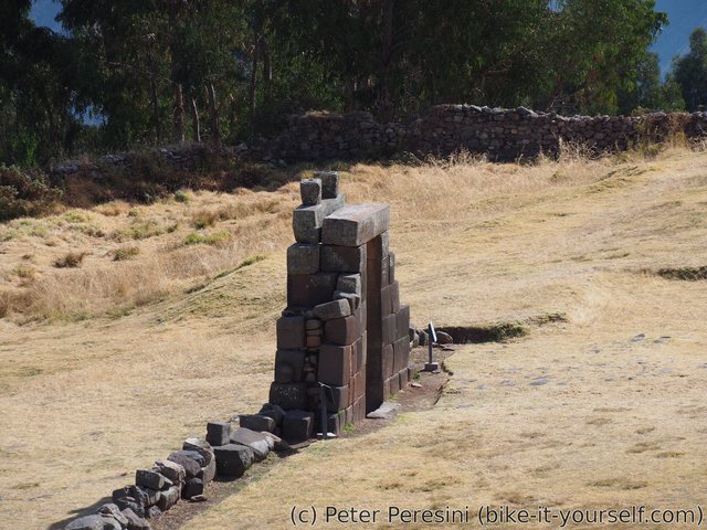
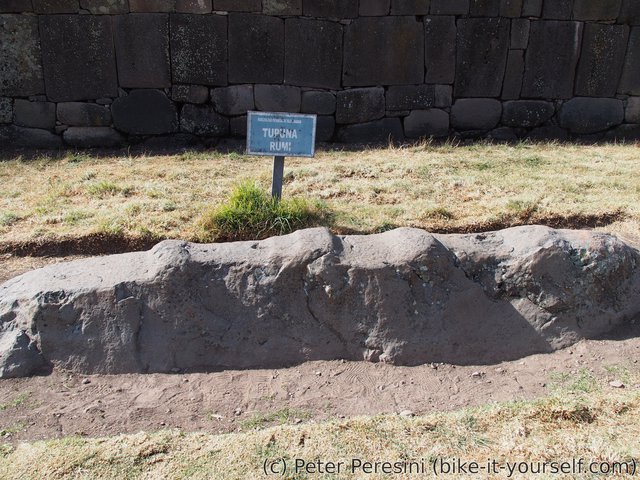
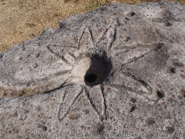
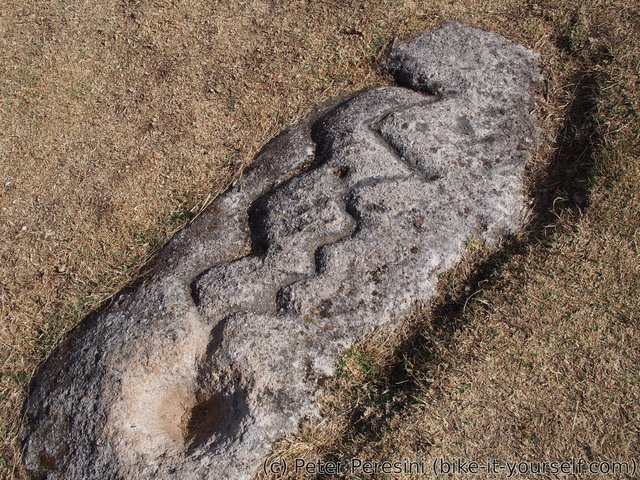
And while Vilcashuaman isn't very big (compared to Machu Picchu anyway) it can definitely satisfy one's archeological heart. Apart from Temple of the Sun and Moon, there is also a big pyramid (which is something new compared to Machu Picchu), a few house dwellings, lonely Sun Gate and a bunch of sacrificial rocks. Basically, much more than I expected.
Route
Download simplified GPX of a route here
Stats by activity:
| Activity | Distance (km) |
Ascent (km) |
Pedal rotations (thousands) |
|---|---|---|---|
| bike | 148 | 3.8 | 49 |
| stroll | 1 | 0.0 | - |
| Date | Distance (km) |
Ascent (km) |
Avg. temp (moving, C) |
|---|---|---|---|
| Aug. 9, 2017 | 33.4 | 1.05 | 16.2 |
| Aug. 10, 2017 | 48.5 | 0.98 | 18.5 |
| Aug. 11, 2017 | 34.9 | 1.13 | 25.8 |
| Aug. 12, 2017 | 32.0 | 0.73 | 19.2 |
Elevation data
The next table is only for cycling activity.
| Grade(%) | Ascent (km) | Descent(km) |
|---|---|---|
| < 2 | 22.8 | |
| < 4 | 7.7 | 6.0 |
| < 6 | 6.8 | 7.8 |
| < 8 | 8.3 | 8.0 |
| < 10 | 5.6 | 5.6 |
| ≥ 10 | 7.2 | 10.7 |


cialis vs viagra forum Badype <a href=https://bansocialism.com/>cialis online purchase</a> Nurify Ou Acheter Cialis Serieux
Hi, here on the forum guys advised a cool Dating site, be sure to register - you will not REGRET it <a href=https://bit.ly/3sCrmNV>https://bit.ly/3sCrmNV</a>
<a href=http://vsviagrav.com/>viagra
Hi, here on the forum guys advised a cool Dating site, be sure to register - you will not REGRET it <a href=https://bit.ly/2XbVumI>https://bit.ly/2XbVumI</a>
what does hydroxychloroquine do <a href="https://keys-chloroquineclinique.com/#">plaquenil over the counter</a>
Hello friends, fastidious paragraph and fastidious urging commented here, I am actually enjoying by these.