Licapa to Huancavelica
From Licapa I continue riding through a mining country to Huancavelica. This time I am taking a "quick" paved option which goes around breathtaking lagoons.
August 19
In the morning I am only slowly preparing for the road. Originally I planned to leave Licapa on nice backcountry roads from andesbybike.com. This would have been two very hard days or maybe easier three-day ride to Huancavelica. Unfortunately, my stomach didn't improve by a lot so I am opting out for an easier all-paved route -- today I would have to ride 50km with about 700m ascent to Santa Ines. This actually suits me well because I am learning that the (probably) only restaurant in Licapa doesn't have breakfast. But they tell me that there is a restaurant about 15 minutes down the road.
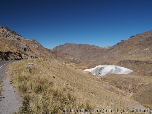
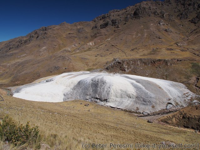
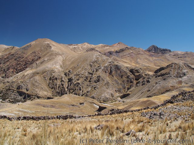
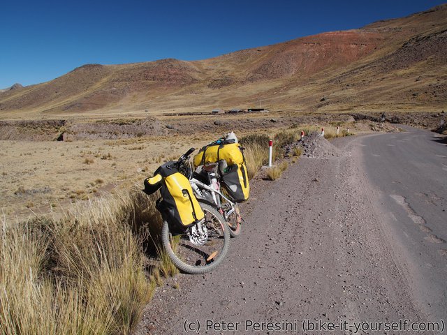
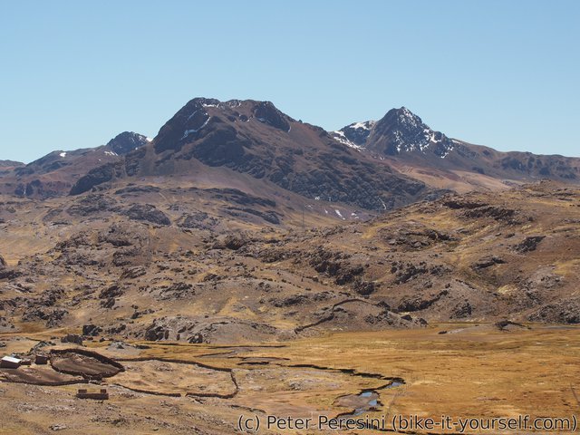
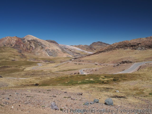
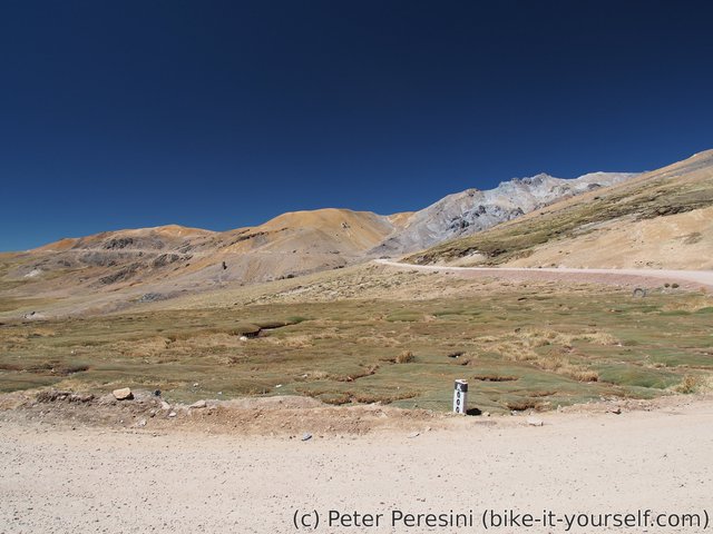
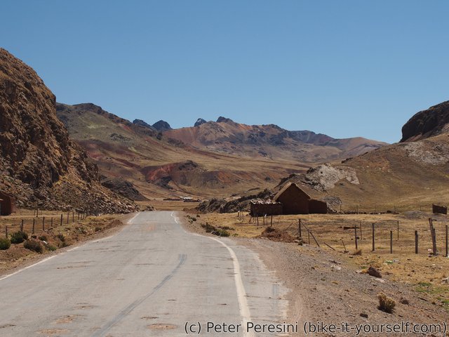
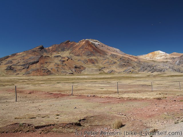
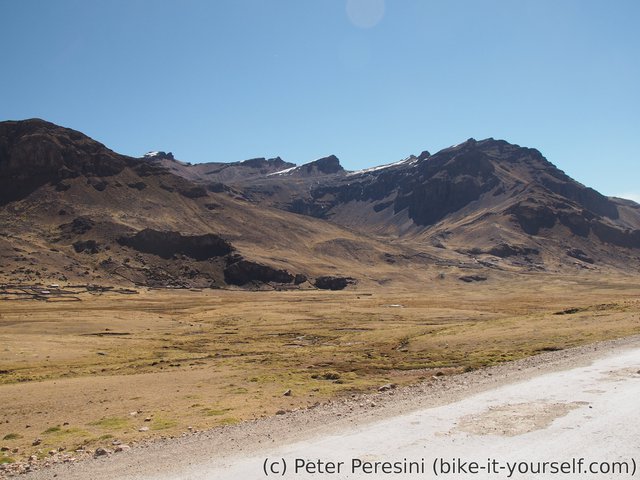
So I start the day by continuing yesterday's descent. The scenery is still quite good with colorful mountains, dazzling white water sources and golden-green combinations of grass. Of course, the descent doesn't last too long and I find myself climbing a not very long unplanned climb (it is easy to overlook small climbs withing long descents on a map).
I was a bit suspicious about the "15 minutes" information on the restaurant. Still, it kept me wondering as to where it would be. It turns out that the place is just at the end of the climb where the road flattens. With my stomach hungry after more than an hour of cycling I quickly devour the amazingly alpaca steak -- I did not have this good food in a long time as the usual comedors I visit are highly attuned to low-cost food for locals.
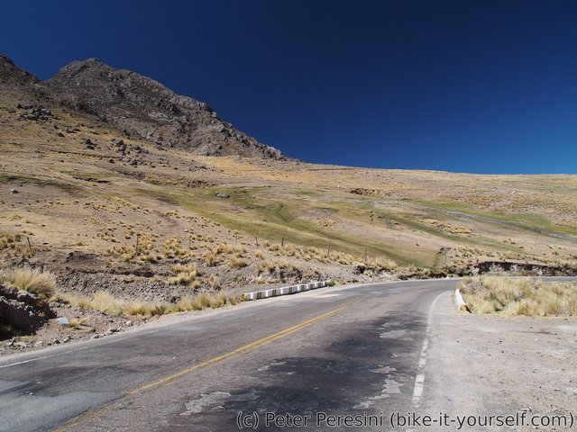
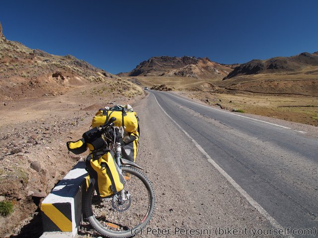
With my hunger satisfied I continue the final part of the descent. Then I finally leave the busy main road into a still-paved but quited road. The road slowly climbs through a shallow valley which is quite dull compared to previous vistas. In Pilpichaca I find out that (surprisingly) I have a mobile signal -- a mandatory "stop-to-sync-emails" follows.
With the approaching evening I continue spinning towards Santa Ines. By now the Sun doesn't have too high in the sky and instead an icy-cold wind picks up. Together this makes the final kilometers really cold despite the fact that I am still gaining the height.
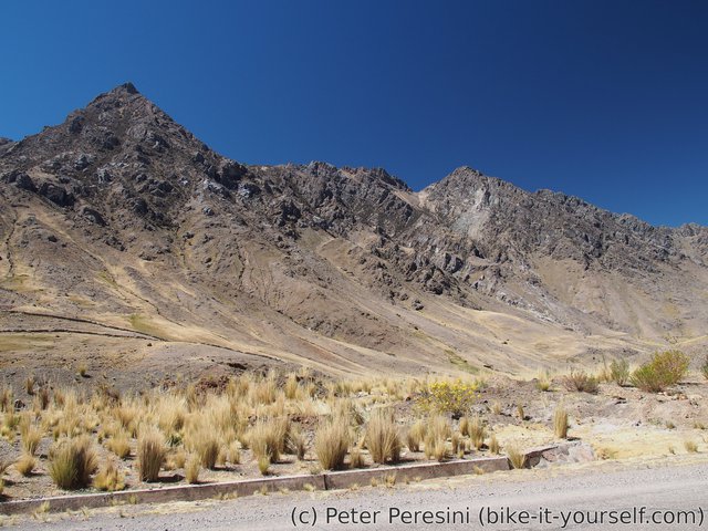
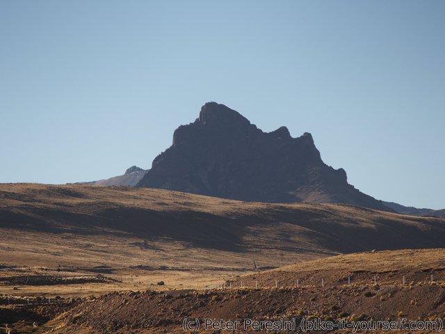
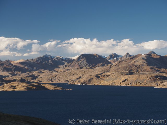
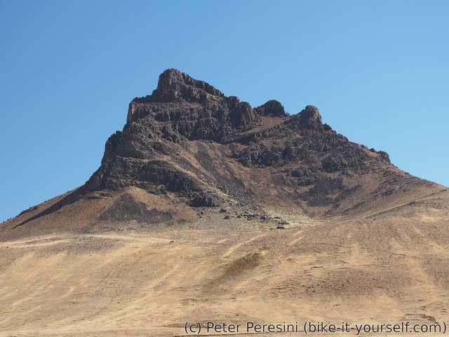
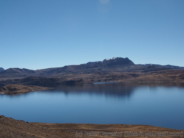
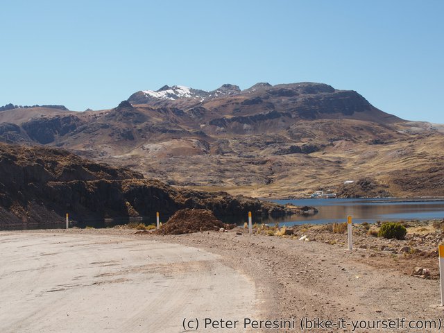
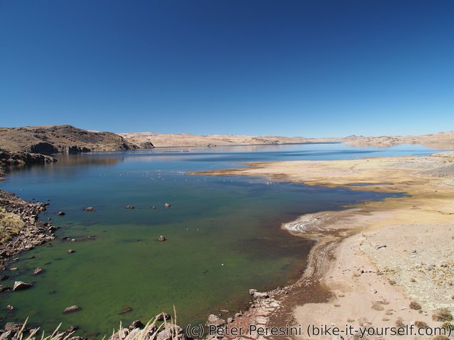
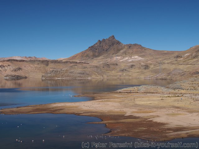
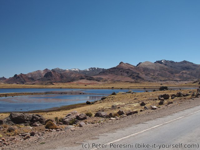
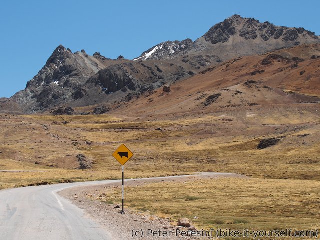
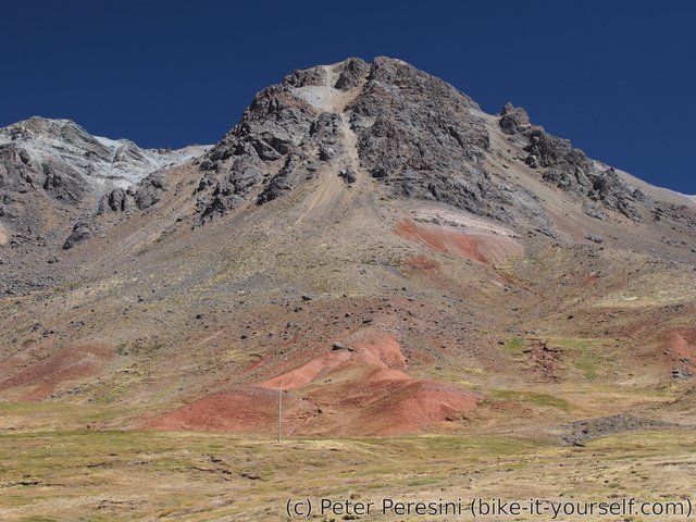
Just before Santa Ines the dull views are replaced by much better vistas. First, there is this lone spike-like silouette of a mountain. A bit later and an impressive laguna Choclococha appears. Together they warm my heart and prepare me for a short but the more icy descent to Santa Ines where I (fortunately) find a hospedaje and also a good restaurant.
August 20
Santa Ines lies at elevation of 4600m. It is therefore quite clear that the nights are going to be quite cold. How cold? Well, the frozen toilet in the morning attests that it is really cold. And speaking of toilets I think I again got some nasty stomach bug as I still keep having diarhea.
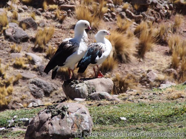
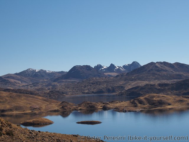
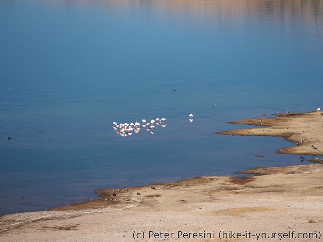
From Santa Ines the road first undulates a bit with a bit of descending while going along the beautiful laguna Choclococha. When not looking at the lagoon I am taking in the great mountains around. And if I zoom-in my eyesight to spot details, flamingos are a sure sign.
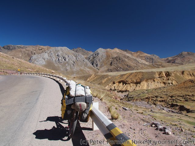
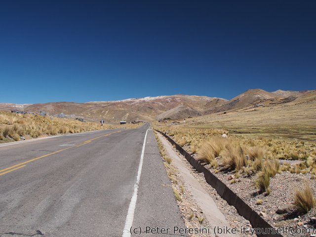
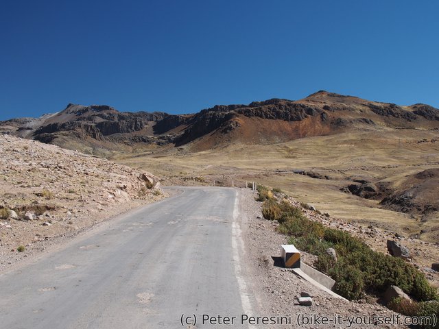
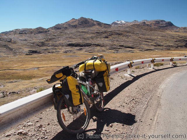
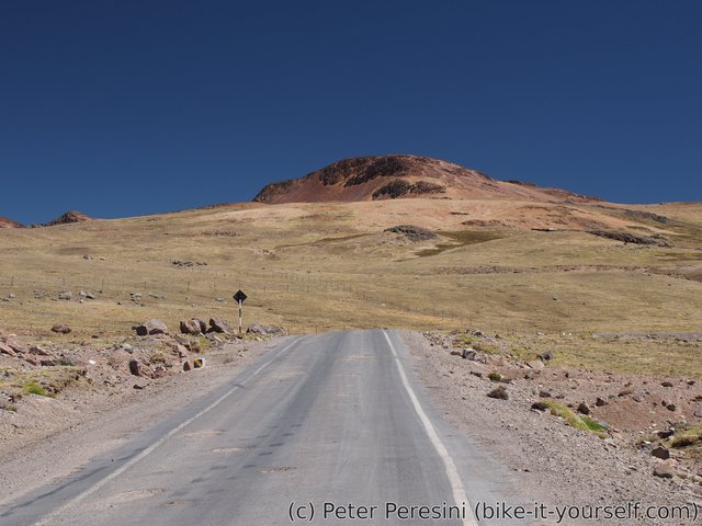
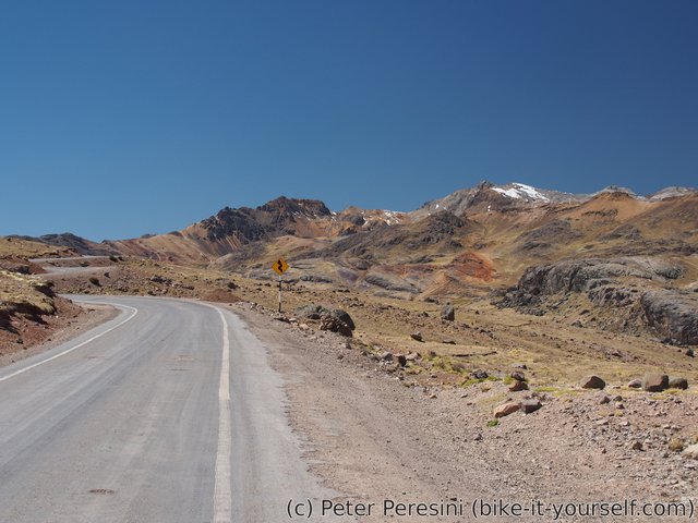
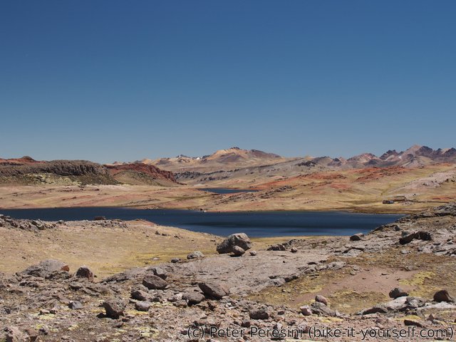
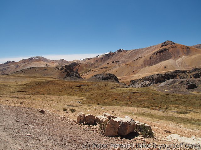
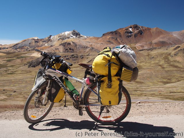
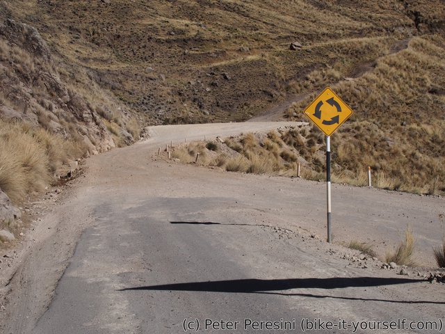
With the lagoon behind me I resume yesterday's climb. To my surprise I stumble across another set of (this time smaller) lagoons. The ascent is slow but views more than compensate for this. 23 kilometers and almost four hours after leaving Santa Ines I finally find myself at the top of a 4880m high pass.
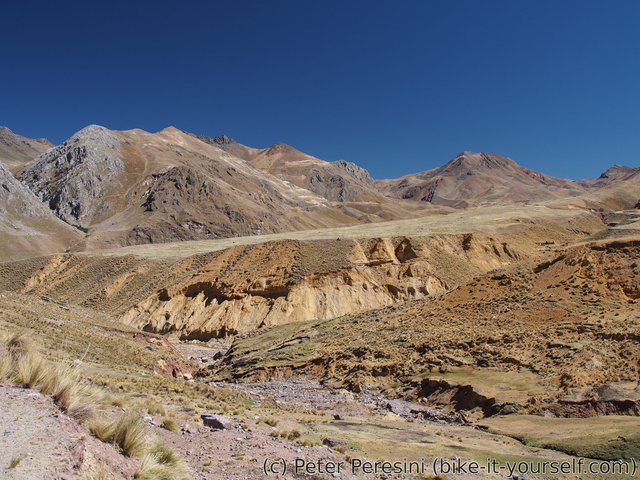
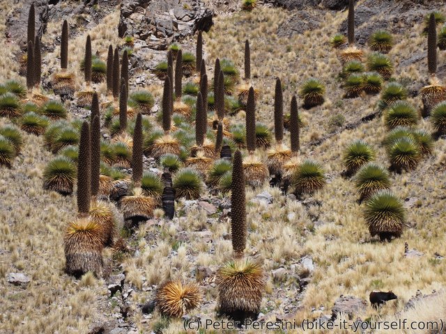
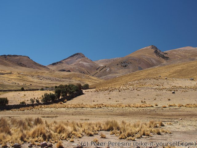
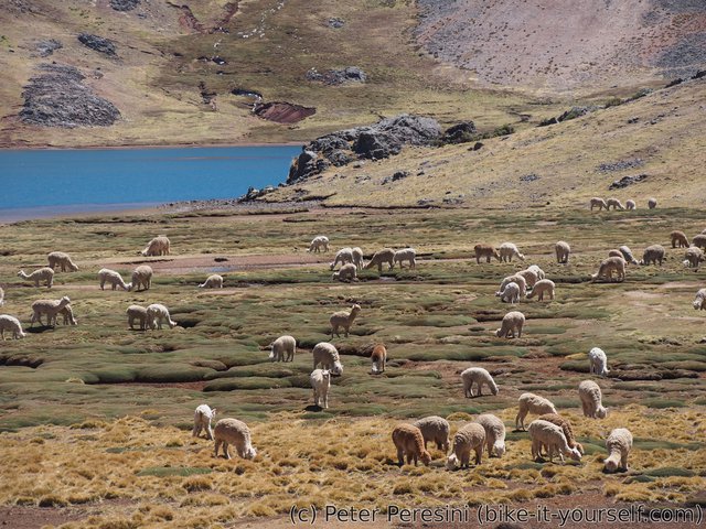
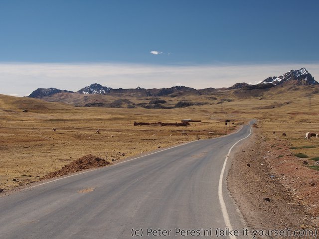
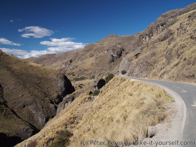
From the pass it is all-downhill (though sometimes quite flat-ish) ride to Huancavelica. The views are slowly changing from rusty mountains through wide valleys with lots of alpacas to a speedy descent and narrow valley before finally arriving to Huancavelica.
In Huancavelica I have a nice surprise -- during the evening a group of cyclist arrives to the same hostel. The four nice mountain bikes with light bikepacking setup instantly catch my eyes. I instantly get a word with the riders and eventually we go for a dinner. There I find out that one of the riders is Cass Gilbert -- one of co-creators of bikepacking.com and the creator of a rather famous Trans-Ecuador Mountain Bike Route. Oh, and he rode Peru Great Divide (PGD) route just a week after Pikes were discovering it. It is very nice to exchange experiences and tips/tricks.
August 21 (Huancavelica)
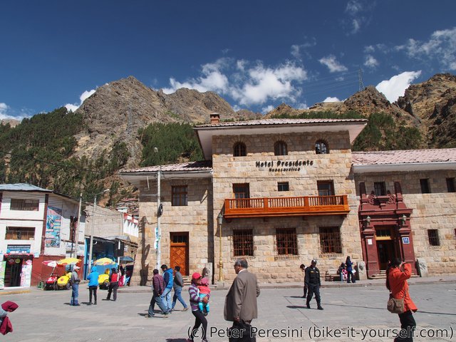
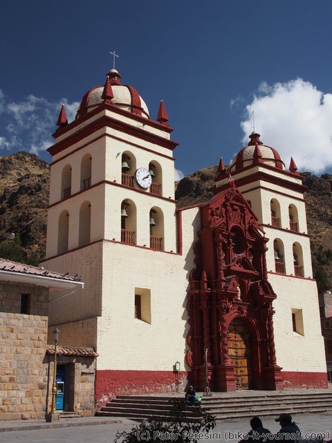
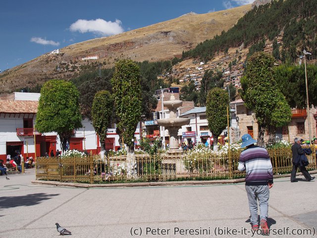
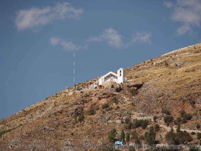
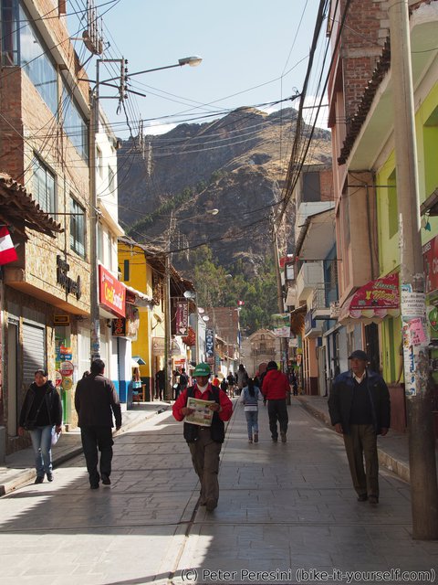
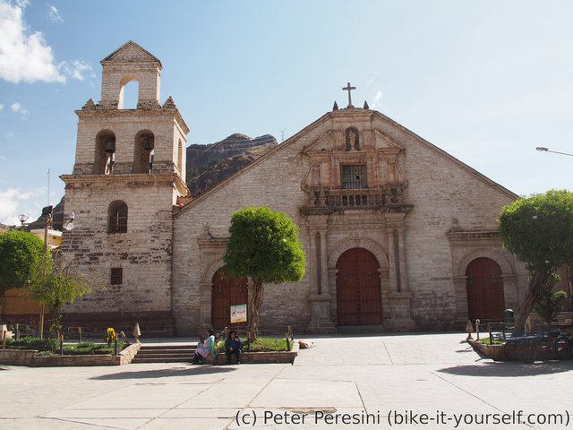
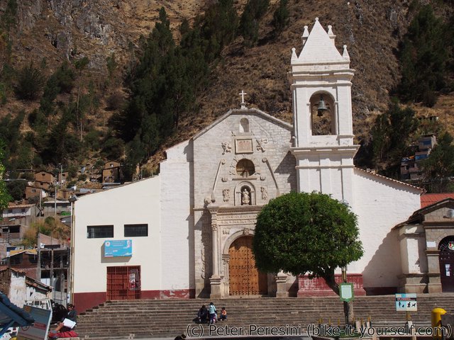
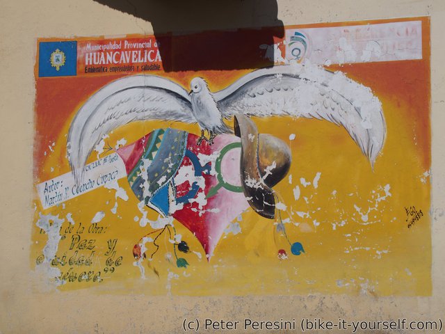
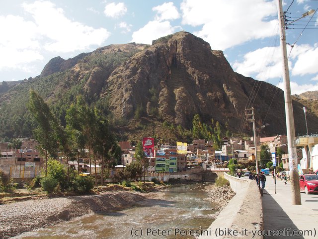
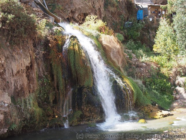
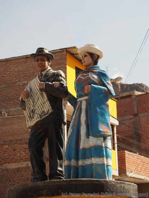
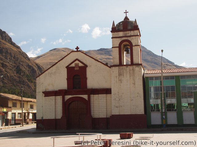
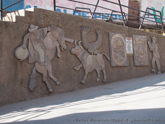
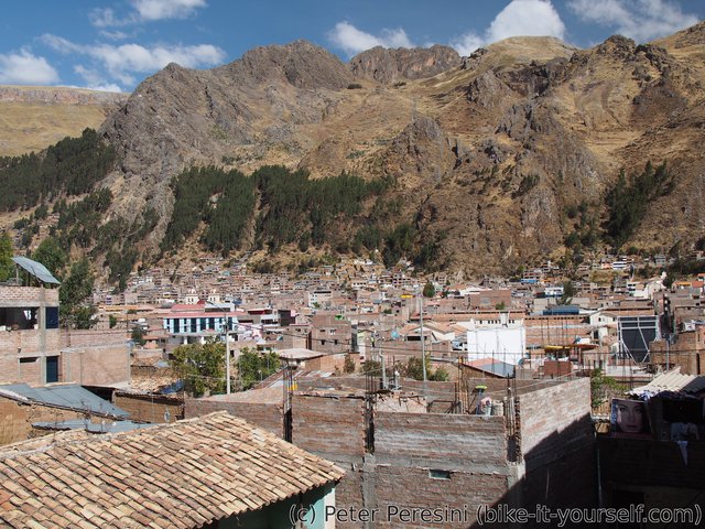
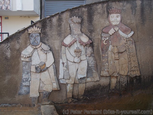
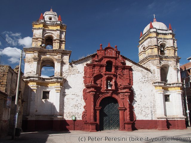
The next day I have a day off. Apart from usual resupplying and getting some lavanderia to wash my clothes I spend the day walking around -- from the start when I arrived here Huancavelica caught my eye as a beautiful city. Something which is quite contrasting to the usual towns I visit.
Route
Download simplified GPX of a route here
Stats by activity:
| Activity | Distance (km) |
Ascent (km) |
Pedal rotations (thousands) |
|---|---|---|---|
| bike | 130 | 1.2 | 25 |
| stroll | 2 | 0.0 | - |
| Date | Distance (km) |
Ascent (km) |
Avg. temp (moving, C) |
|---|---|---|---|
| Aug. 19, 2017 | 52.3 | 0.85 | 18.3 |
| Aug. 20, 2017 | 78.1 | 0.37 | 17.0 |
| Aug. 21, 2017 | 2.4 | 0.03 | 23.9 |
Elevation data
The next table is only for cycling activity.
| Grade(%) | Ascent (km) | Descent(km) |
|---|---|---|
| < 2 | 44.0 | |
| < 4 | 13.9 | 16.1 |
| < 6 | 8.8 | 9.5 |
| < 8 | 0.7 | 1.4 |
| < 10 | 0.0 | 0.3 |
| ≥ 10 | 0.1 | 0.4 |


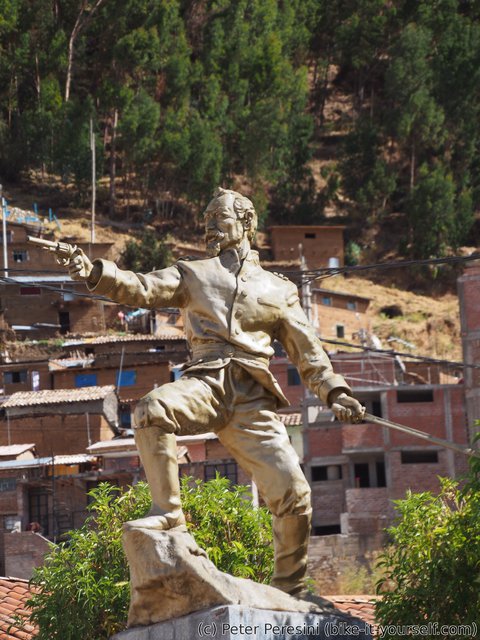
Interesante todo este recorrido que hiciste, me gustó. Saludos. La estatua donde dices que a quién le disparará, es Francisco Bolognesi, héroe nacional, que participó en la guerra contra Chile.