Las Loicas to San Fernando (over Paso Vergara)
A solitary route through majestic landscapes and wide valleys. From the Argentinian side this can be hardly called a pass because it climbs only 500 meters over roughly 100 kilometers making it the flattest pass I ever climbed. But don't be fooled -- the Chilean side more than compensates for this as the descent is extra steep.
March 13
One of the things I really need to learn is to un-assume that the electricity is available at all times. I had this grand plan of working on a laptop and then charging it overnight in the camping. Except that at midnight they cut the electricity. As such, in the morning I am waiting for the laptop to charge a bit while I am almost ready to leave.
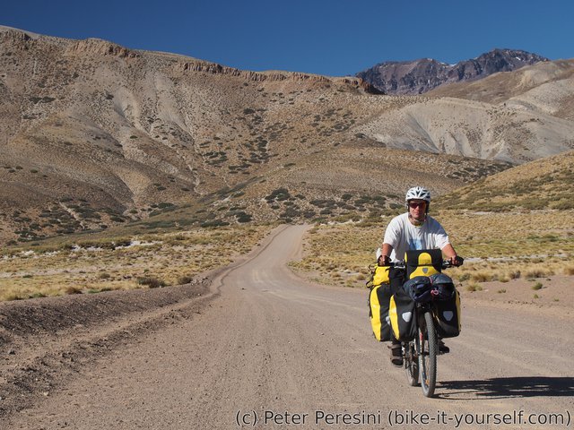
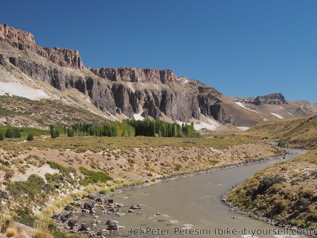
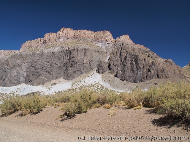
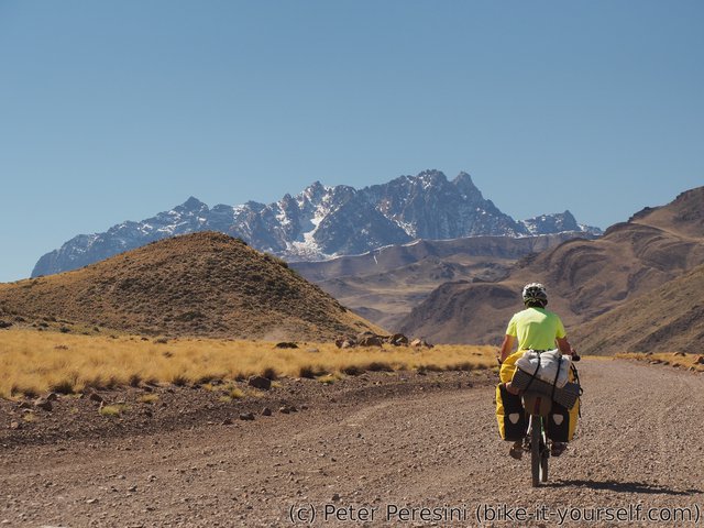
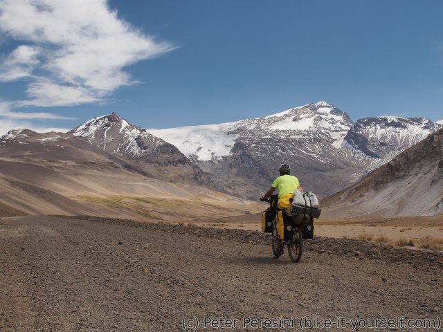
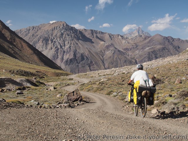
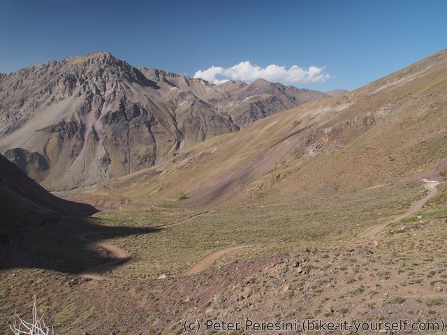
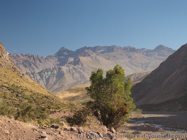
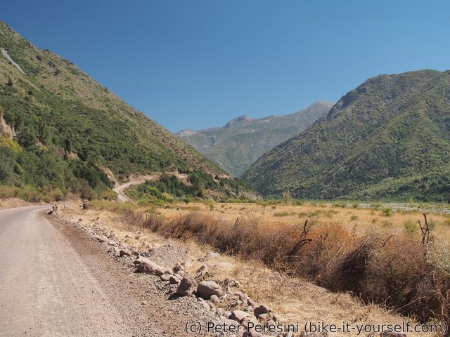
The road goes through a wide valley which slowly turns into a high canyon on one side. Definitely something to enjoy.
Compared to the Paso Pehuenche busy with all the hydroelectric construction this is a very quiet route. Except for a few small shepherd shacks there is nothing of a civilization. At one such place I am joined by a quiet dog. I don't know what to think about it. The dog just goes with me for about a kilometer until I finally lose it.
As the day progresses so does the temperature. While it was very cold in the morning, having a lunch is a different affair even though I am at 1700 meters above the sea. I am trying to hide from the blazing sun by the only protection I can find for a long time -- a very big rock.
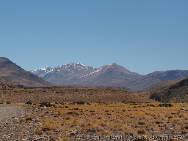
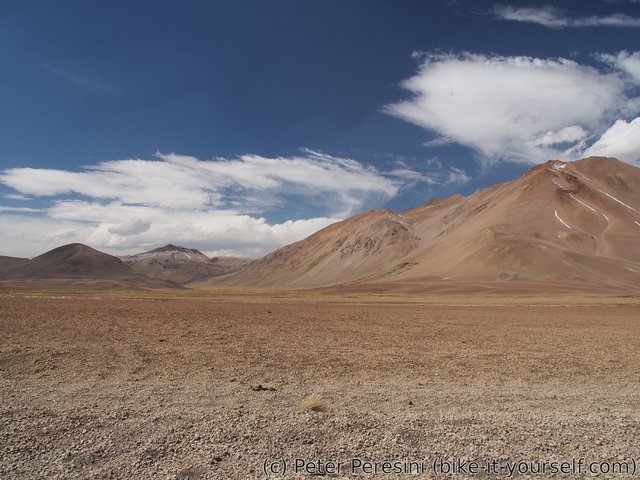
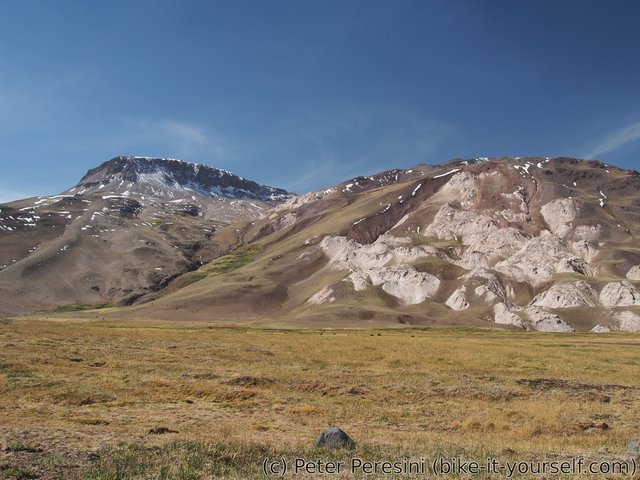
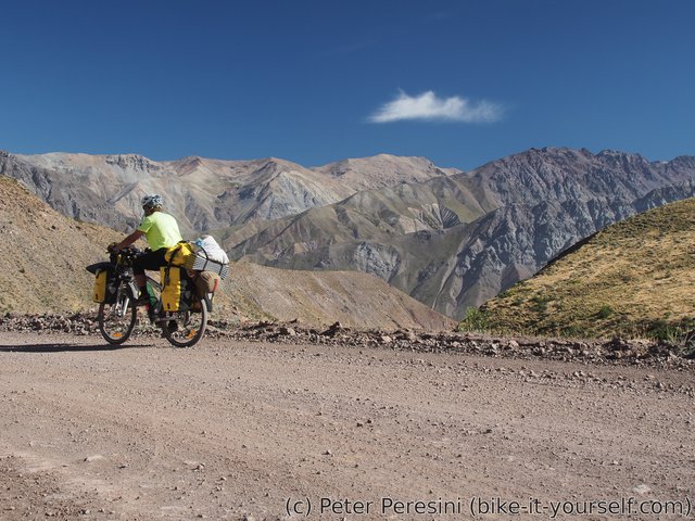
Afterwards the road turns quite sandy at some places. Around this place the views also open and I can see a real mountains in a distance. Fortunately, I do not need to push much. One thing I cannot really comprehend is how this place was formed. The huge valleys which are so flat that I can barely notice any climbing are a mystery to me.
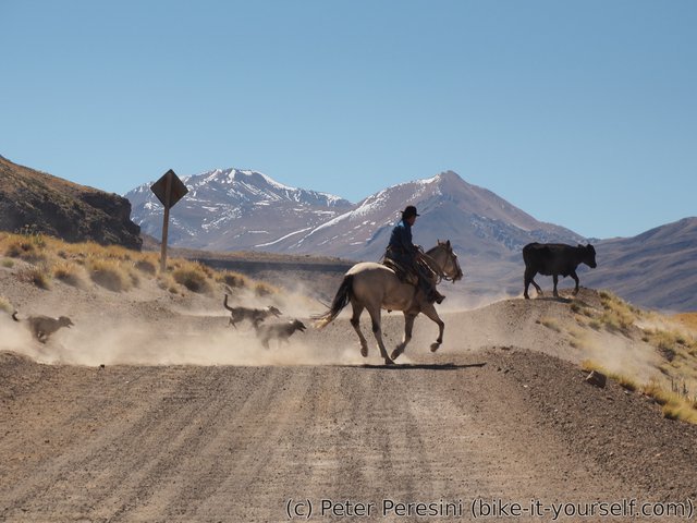
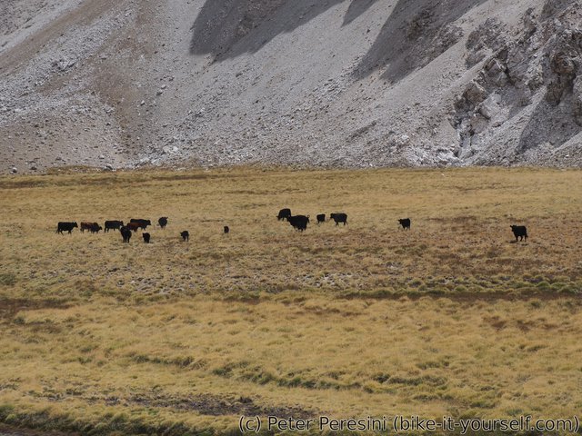
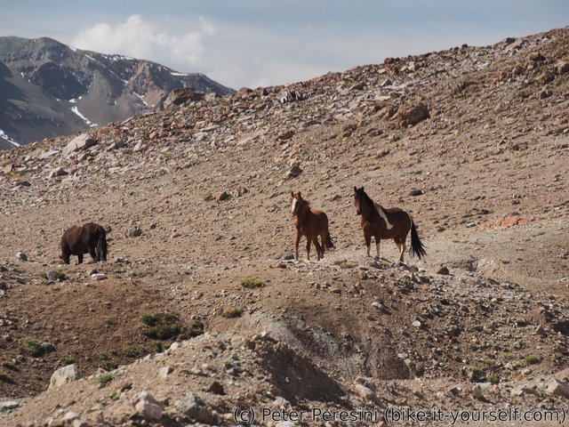
After a car or two at the beginning of the road and then witnessing nobody for a long time, it is quite surprising to come across not one but three gauchos on horses.
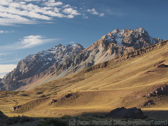
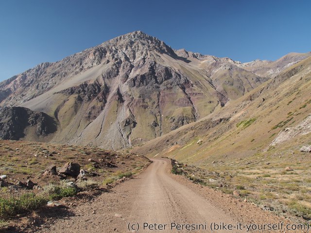
As I continue further I suddenly see some real mountains. They even have snow by which I am quite surprised. I am near these mountains when the evening catches up with me and I need to setup the camp. Fortunately, I am quickly finding a car-passing place on the road and given the virtually zero traffic, I am just setting up a tent there. The only regret I have is to not camp a bit sooner before the road turned into the wind. Fortunately, while it is windy during my dinner preparation, the wind quickly dies after the sun sets.
March 14
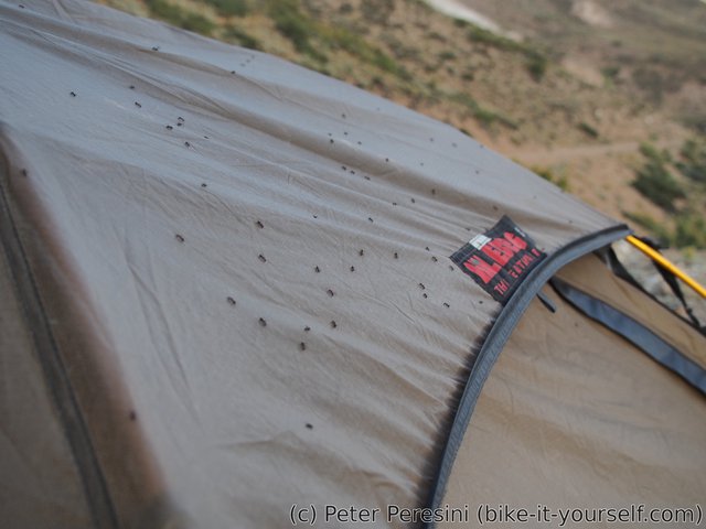
In the morning I am under a siege! I just leave a tent to realize a horrible truth that the whole tent is covered by ants. This very weird incident has its explanation though. Yesterday I camped under this weird tree which apparently leaks "sap" through its leaves.** I realized this too late and so the tent was a bit sticky before I packed it. And apparently my new tent "cover" probably includes sugars or something that the ants really want.
** On further reading, this has nothing to do with the tree itself. It is caused by aphids (an insect) on the leaves of the tree and they excrete honeydew -- a clear and sticky substance.
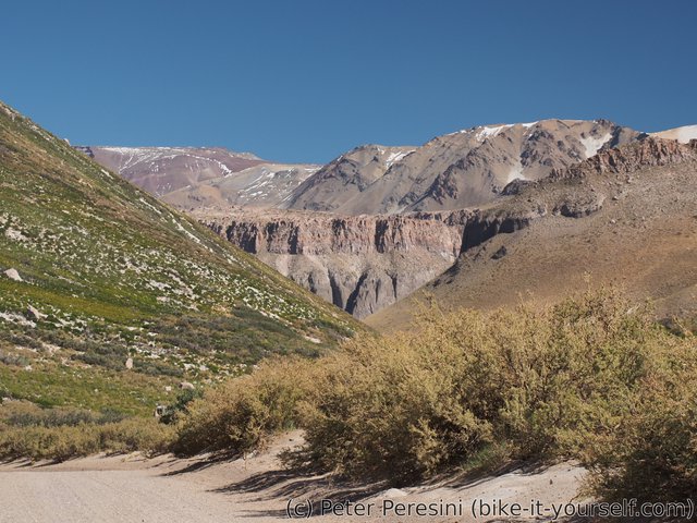
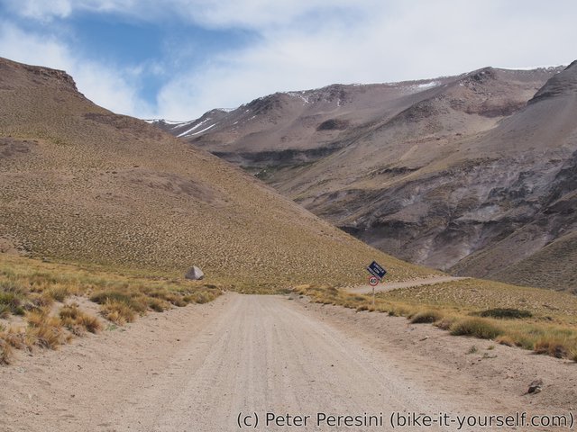
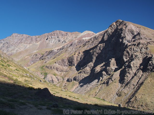
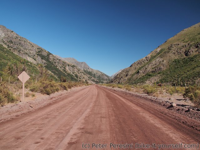
The morning weather is a bit gloomy, there are overhanging clouds. This, however, results in a cool temperature compared to yesterday. As I am passing the valley it gets narrower until I am cycling inside a canyon. The mountains around are getting higher and higher and the only vegetation around is grass. A very spiky and hard grass, I must say.
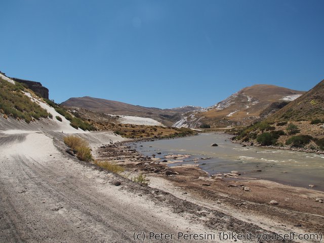
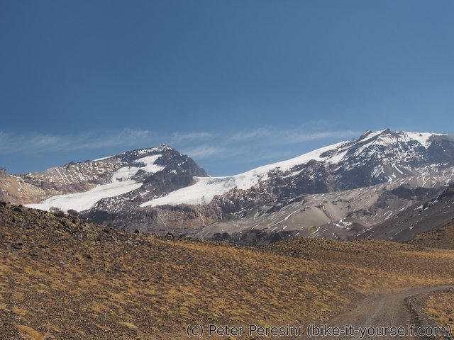
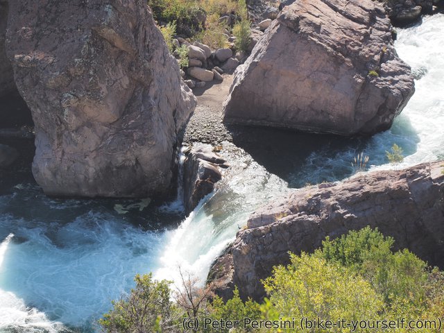
I also need to cross an ice-cold stream going through the road. As I go further, I have more and more practice at this because there are numerous other crossings on the way. But what really takes me by a surprise is a view over a massive glacier which suddenly appears as the canyon again turns into a wide valley. The road goes around thermas but it is a slight detour and I am choosing to skip it as the time is playing against me if I want to cross the pass today.
The Argentinian immigration is very quick and I am left with the last 8 kilometers to the pass. This is hardly a big deal because it is only 150 meters of elevation although the road isn't cooperating as much as I would like. And not only the road. At my last river crossing I am too bold which is a big mistake. As I try to ride through it (not to have wet sandals) I do not manage to find a good way and the bike stops against some rocks. I don't need to tell you that at this point I semi-fall. Fortunately, I, unlike my bike, manage not to end up in the river except the foot. And as the bike panniers are mostly water-proof, there isn't much damage, especially because I promptly lift the bike from the water.
With the watery excitement over, I am finally glad to reach the pass. I am exhausted, it is getting a bit late and I still have a lot of way to cover on the descent.
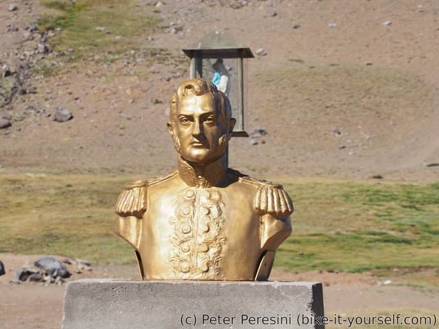
The top of the pass is surprisingly (and lovely) green. There are also a small spots of snow which does not mean anything good for my next pass after Santiago. Back to the road -- as usual, there isn't much ceremony of road signs. But there is a bust and a shrine so I know this is definitely it.
The descent from the pass is completely different than the Argentinian side. Chileans apparently did not bother in tempering the climbs and I find myself in an extremely steep descent. I am happy for my strong brakes and even then I have a problem of balancing the braking with the non-support from the gravel. My GPS on the first half of the descent says grades up to 18% which means this would be a torture to go from the other side. Even though the second half of the descent is less steep, it still averages over 10%. And it twists like a snake with many switchbacks.
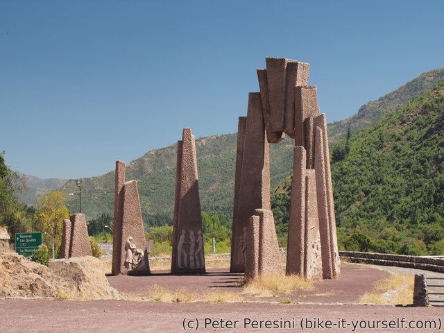
Fortunately to my hands, I have a break from braking when I reach the Chilean aduana. It is surprisingly big and pretty building considering on how much traffic is there in this pass -- for the whole day I saw exactly three cars -- the first one was gauchos on Argentinian side whom I met later, the second one was gendarmeria car and the third one was apparently the only vehicle passing through the pass today.
I am also surprised by the technical equipment of the aduana. They don't bother with the standard "hands" inspection of my bags. Instead, I am putting all my things through an X-ray machine and they apparently find it OK.
As by now it is late evening, I need to find a good camping spot. When I ask the immigration officers I am told that I can stay for free just below the aduana. There is (or rather used to be) some sort of thermas here. And as the night falls I venture back to the aduana building to ask some questions and we have a long and good chat, me trying to speak a bit of a Spanish while they train their English.
March 15
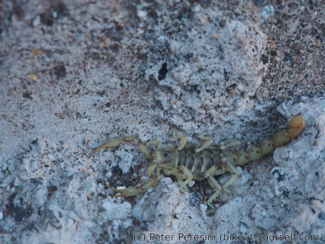
As I am packing my tent in the morning, I am observing a small scorpion. I am quite surprise to find it here because the land around does not look like a desert. But then, what do I know about little scorpion habitats?
Today is a day of good descent. The road isn't so steep as yesterday and the surface is much better. In particular, as soon as I join a road from a mine, the ripio turns into a what can be only described as a mud-compacted ripio motorway. My fast ride is briefly interrupted by looking at a helicopter and then I am off again.
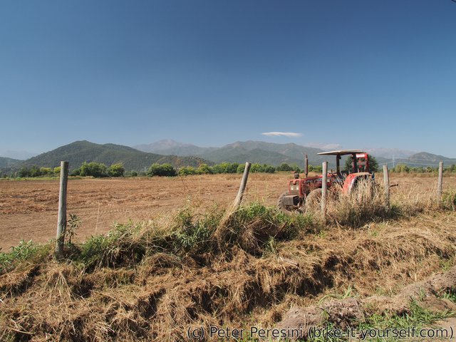
The whole days is quite windy. Which is to say, as soon as the scenery changes from slowly-shrinking mountains into fields and orchads and I find myself on almost flat road, I need to cycle against a wind. Fortunately, this isn't so bad because at least it cools down the heat.
I am also resuming my "Ruta 5 avoidance" plan and trying to find a good way to the north. Fortunately, it isn't hard to find roads which are quiet enough. But the day isn't without any mishaps. As I am cycling through villages, the dogs are usually barking and chasing after me. Until this one damn stupid beast which does not end up only with that. It tries to bite me! Fortunately for me, the dog just gets hang on my cycling shorts so I end up only with a small scratch and torn shorts. But from this time any dog bark makes me uneasy.
In the evening I am reaching a town of San Fernando where I am trying to find a hostel. Unfortunately, unlike places in the south which are used to backpackers, San Fernando isn't known exactly for its tourist attractions. It is therefore not a big surprise that I have a problem finding a cheap hostel. I need to check on three hostels until I find a one which is reasonably priced.
Cycling notes
- for details refer to Pikes' page
- I highly recommend going from Argentina to Chile unless you are a light bike-packer who enjoys pushing bike up steep climbs
Route
Download simplified GPX of a route here
Stats by activity:
| Activity | Distance (km) |
Ascent (km) |
Pedal rotations (thousands) |
|---|---|---|---|
| bike | 240 | 1.6 | 50 |
| Date | Distance (km) |
Ascent (km) |
Avg. temp (moving, C) |
|---|---|---|---|
| March 13, 2017 | 61.5 | 0.52 | 29.5 |
| March 14, 2017 | 56.7 | 0.78 | 20.4 |
| March 15, 2017 | 121.3 | 0.33 | 26.0 |
Elevation data
The next table is only for cycling activity.
| Grade(%) | Ascent (km) | Descent(km) |
|---|---|---|
| < 2 | 129.7 | |
| < 4 | 18.0 | 22.1 |
| < 6 | 6.0 | 7.6 |
| < 8 | 1.8 | 4.2 |
| < 10 | 1.5 | 3.2 |
| ≥ 10 | 1.5 | 6.8 |


what if cialis does not work Badype <a href=https://bansocialism.com/>5 mg cialis generic india</a> Nurify Macrobid Bacterial Infections. Macrobid Drugs
<a href=https://vsviagrav.com/>viagra
<a href=https://fcialisj.com/>generic cialis online europe