Huancavelica to Acobambilla (PGD part 1)
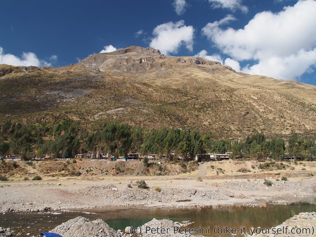
This short two-day warmup is the first part of the famous Peru Great Divide route. Contrasting to the previous three days this part features golden-grass covered hills instead of the rusty mountains full of mines.
August 22
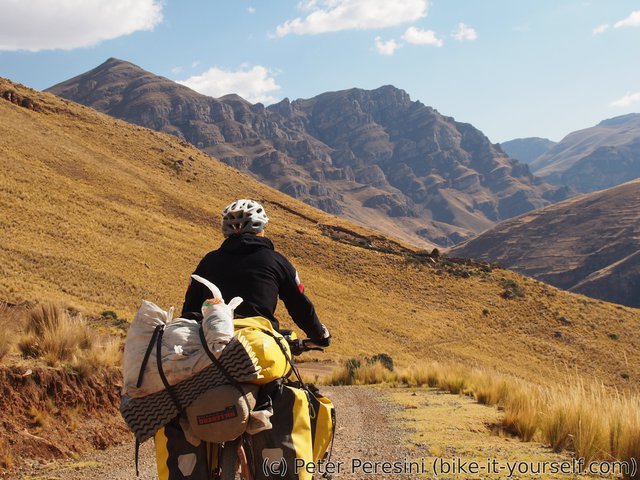
In the morning I say (a temporary) goodbye to the four cyclists and get going. Only to realize that I forgot to buy bread and jamón so I make a detour through the main market. This sets me back by one hour. Afterwards I finally leave Huancavelica and immediatelly start climbing 1000m into a 4700m high pass.
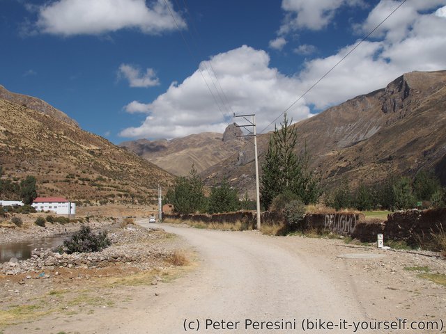
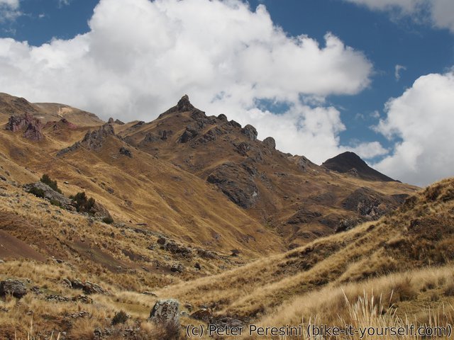
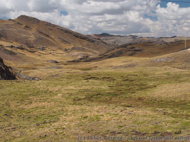
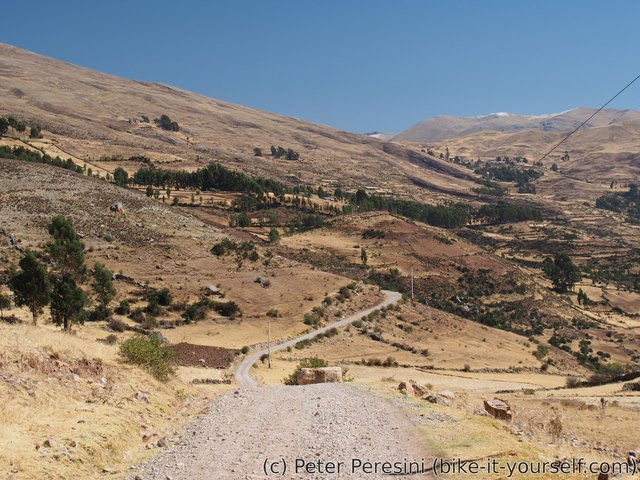
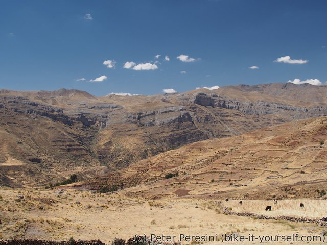
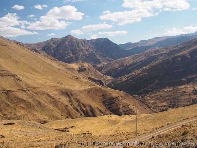
Unlike the previous day's I do not see any volcanic-like mountains. Instead, there are just hills covered in neverending golden grass. I make a lunch stop at 4300m and wonder where are my four cycling friends. With their light setup they should have caught up by now. Maybe they managed to overtake me while I was shopping? But I don't see any tracks. And a car going in the opposite direction did not see them either. Basically, it is a big mystery as to where they disappeared.
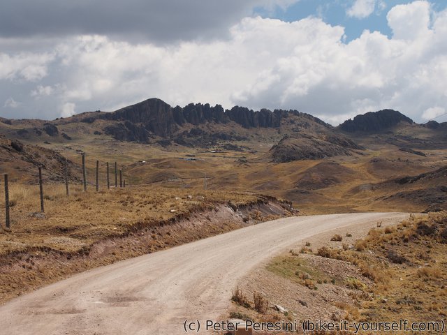
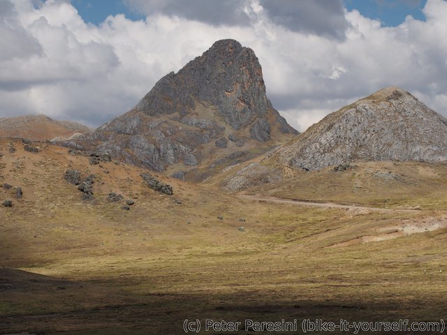
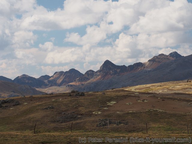
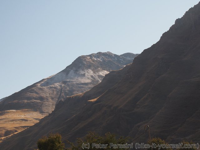
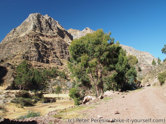
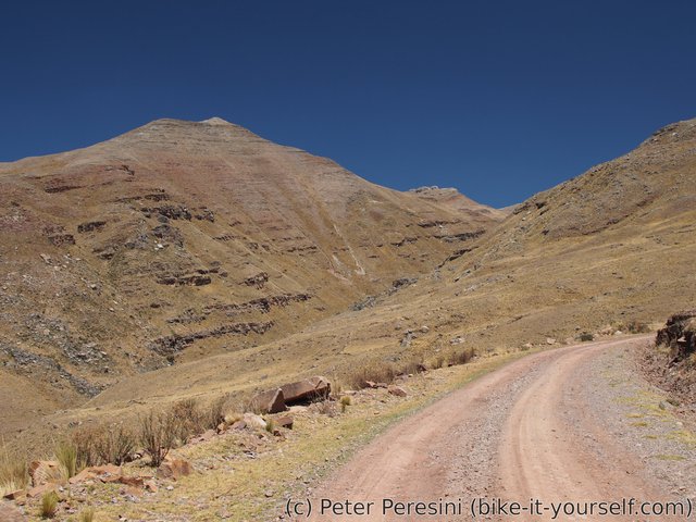
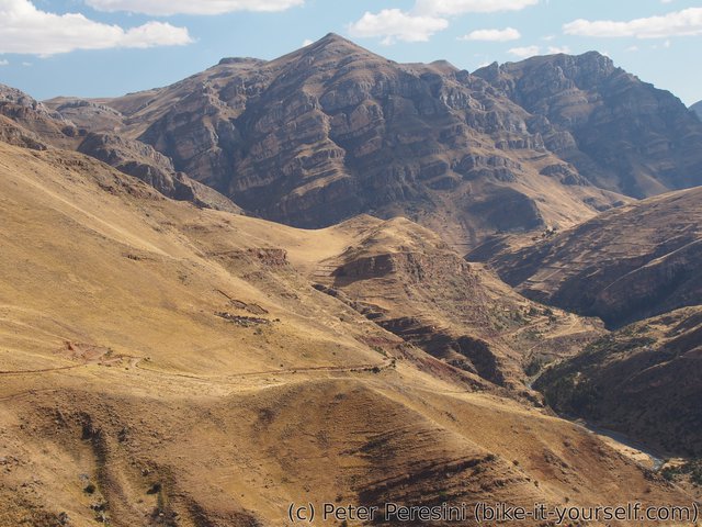
After the lunch I resume climb of the last 400m. I get into a bit more flattish landscape with amazing teeth-like mountains. And to make them competition, there are also more round huge rocky-top mountains.
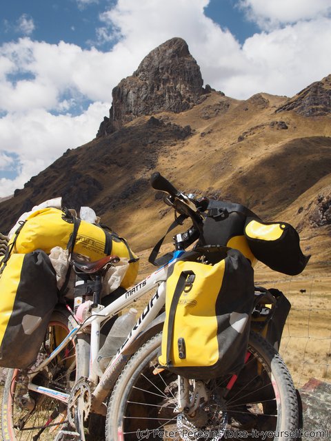
By the time I get to the pass, which is guarded from one side by an incredibly huge rock, the weather starts getting worse. So far the sky was behind clouds but without much wind which was ideal for the ascent. But the clouds seem to be getting worse so I don't really spend too much time and prepare for a chilly descent to Jerusalen.
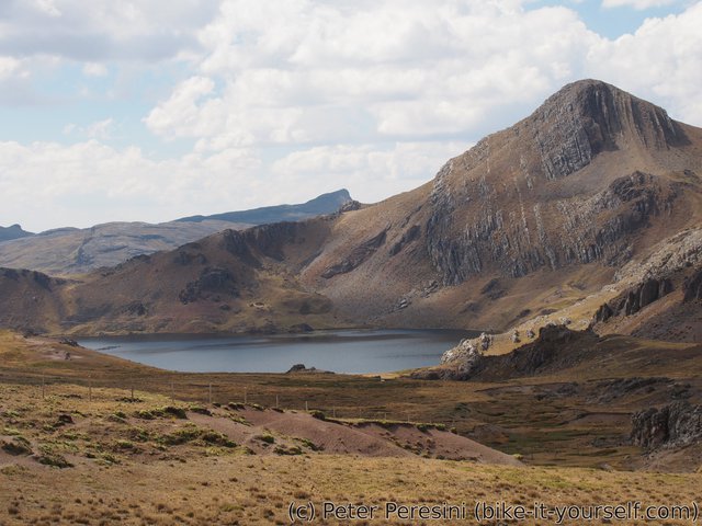
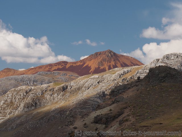
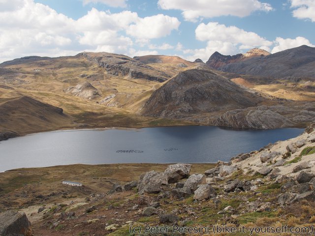
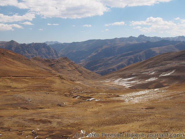
The other side of the pass is quite epic. There are two huge lagoons to look at. When I am bored of lagoons I can just look at the mountains around which are also quite good. And then there is this one mountain which just catches my eyes -- it is bloody red as if the devil itself decided to make it his holiday house. I am pretty sure the mountain must have been quite important to any ancient people living here and I wouldn't be surprised if a dragon lived there as well. (Ok, I would be a bit surprised. But with sight like this you are likely to believe anything).
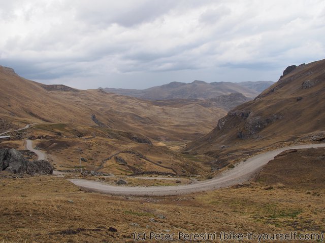
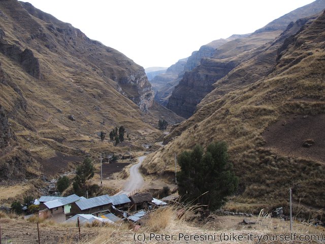
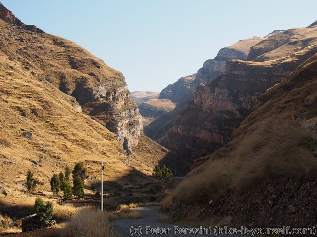
After the road passes the lagoons it continues downhill into a valley. Which turns into a canyon with one side pretty interesting. A bit further and I am just above San Miguel when the weather catches up with me. In no time it starts heavily pouring. It is good thing that I find a house with a bit of an overhanging roof.
My first rain in Peru is quite some experience. The sky is full of lightnings and there are even hail. Needless to say, as I am around 4000m it becomes really cold. I need to get out all my clothing to warm up during a long wait until the rain passes. Unfortunately, it more or less rains (or at least drizzles) until the evening so I decide to get into the centre of the village. On my way I first try Centro de Salud. Unfortunately, this is closed so I wait here until I figure out that the man I am randomly talking to is actually responsible for it. While I originally planned to say here for the nigh (dry place is a dry place), the man convinces me that it is a bad idea (e.g., too cold) and instead walks with me to the main square where a municipality building is. I am getting a room upstairs with a nice addition of mat.
To make the evening even more fun there is a power outage. First a short one and then the electricity dies completely. So I end up just drying my clothes (they got a bit wet), drying my panniers (I probably badly closed one of my front panniers which, being waterproof, turned into a big water pool). And I am doping with pills against cough -- I was already slightly coughing for a past few days and standing full hour in a chilly wet weather did not improve my lungs.
August 23
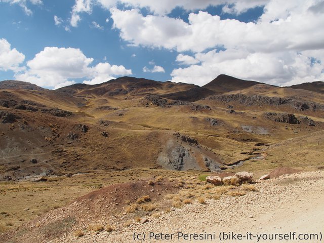
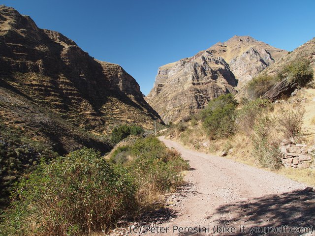
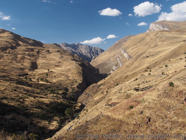
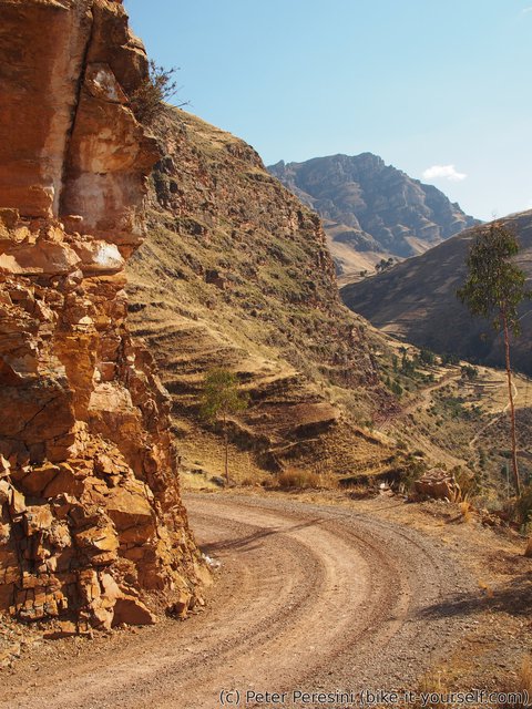
Compared to yesterday evening the morning is clear with blue sky. Yesterday's electricity outage is still ongoing so I failed to charge anything. Garhering all my crap on the bike I resume the final part of yesterday's downhill. This goes through a narrow canyon with excellent views.
After the downhill is done, I face a bit of a climb before Jerusalen. The road slowly climbs out of the canyon into a more open space. In Jerusalen I buy some snack and figure out that the electricity outage actually affects this place as well. Which is quite funny because I have a mobile signal -- either the GSM tower runs its own generators or takes electricity from different part of the grid.
From Jerusalen I have to climb another pass. This is less than 750m in ascent but I still find it quite difficult -- my stomach did not improve at all despite antiparasitics I bought in Huancavelica an I find myself ditching a bike in a hurry few times.
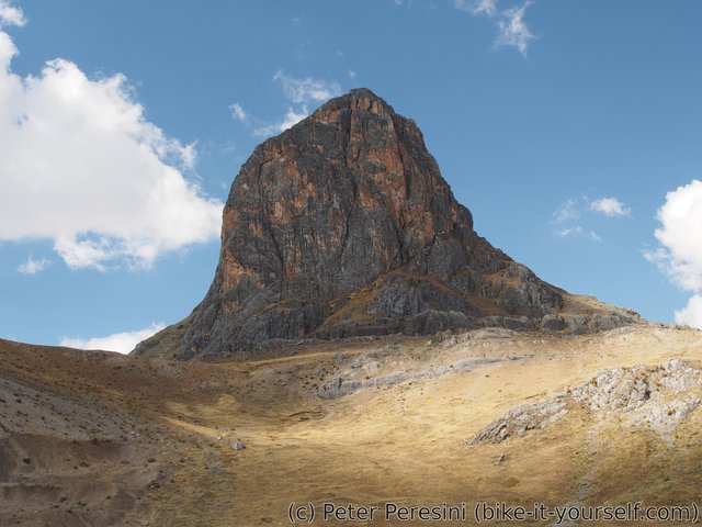
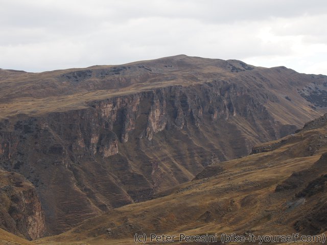
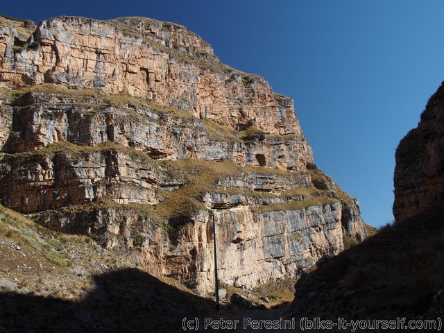
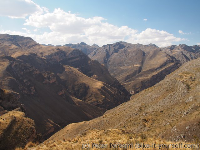
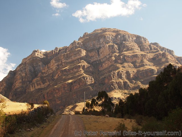
When I finally reach the top another grand scenery opens. It becomes clear that the road will go aound another deep canyon. And the mountains around are interesting as well. I cannot decide between fast descent and the one where I stop every meter or so to take a photo. What particularly interests me is a deep cliff mountain in the distance. As I slowly descent I am getting nearer and nearer.
When I finally get down I find myself just below the cliff and a bit from Acobambilla. This village thus reminds me of Swiss Leukerbad with similar set of views up the cliff. In Acobambilla I find a hospedaje and make a visit to a local centro de salud. After a long explanation with my bad Spanish I manage to explain that I need something for diarrhea but with a different active substance from what I am using currently.
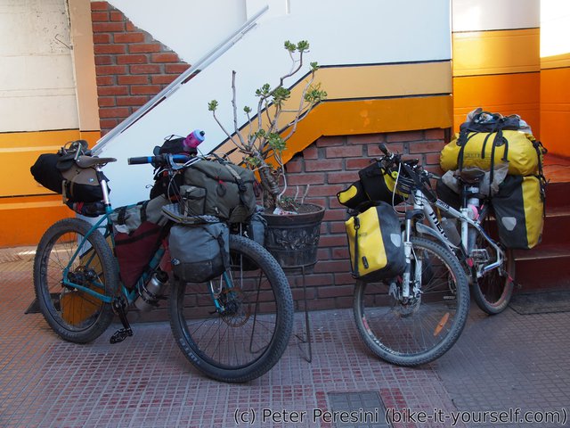
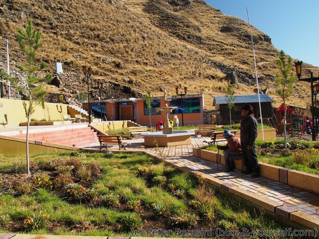
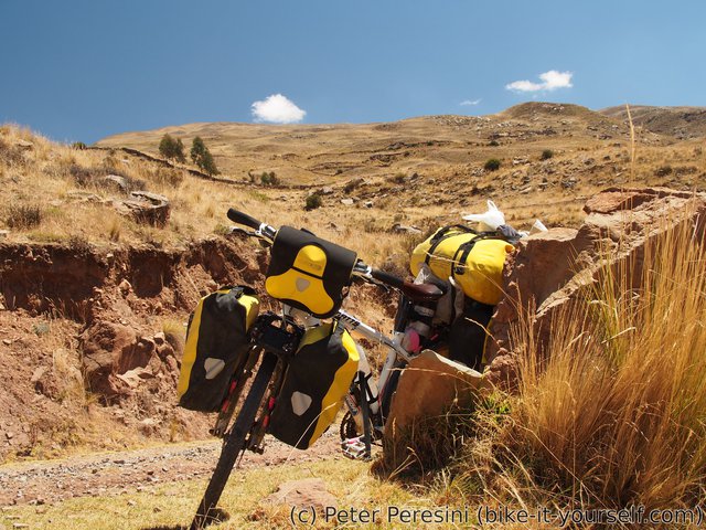
Returning from centro de salud I am surprised to find my four Huancavelican cycling friends at the main plaza. By now I thought they are just too far ahead. It turns out that yesterday they were really lazy and did not leave Huancavelica before 2pm. Then they got into the storm before the pass. Oh, and they found out that Acobambilla has two more cyclists -- Jeremy and Madeleine are a french couple which I first met down in Patagonia on a boat to Villa o'Higgins. They were staying in Acobambilla for two or three days because of some stomach problems. Given that they have a full bike-touring setup we decide to pool together for the next few days as we should have relatively similar speed.
Route
Download simplified GPX of a route here
Stats by activity:
| Activity | Distance (km) |
Ascent (km) |
Pedal rotations (thousands) |
|---|---|---|---|
| bike | 74 | 2.0 | 25 |
| Date | Distance (km) |
Ascent (km) |
Avg. temp (moving, C) |
|---|---|---|---|
| Aug. 22, 2017 | 38.2 | 1.03 | 18.8 |
| Aug. 23, 2017 | 35.9 | 0.94 | 22.1 |
Elevation data
The next table is only for cycling activity.
| Grade(%) | Ascent (km) | Descent(km) |
|---|---|---|
| < 2 | 11.9 | |
| < 4 | 3.2 | 2.7 |
| < 6 | 3.0 | 3.1 |
| < 8 | 6.4 | 4.7 |
| < 10 | 2.9 | 3.3 |
| ≥ 10 | 3.1 | 5.7 |


<a href=http://gcialisk.com/>cialis without a doctor's prescription
<a href=http://vskamagrav.com>buy kamagra uk with mastercard
<a href=http://vslasixv.com/>buy lasix uk</a>
<a href=https://cialiswwshop.com/>buy cialis online forum</a>
<a href=http://cialiswwshop.com/>buy cialis</a>
hydrochlorique <a href="https://keys-chloroquineclinique.com/#">chloroquine mechanism of action</a>
Hi here great blog! Does running a blog such as thjis rrequire a great deal of work? I've no knowledge of programming however I haad been hoping to start mmy oown blog soon. Anyhow, should you have any ideas or tips for new blog owners please share. I know this is off subject however I simply needed to ask. Thanks!
Hello, i read your blog frtom time to time and i own a similar one and i was just wondering if you gget a lot of spam feedback? If so how do you prktect against it, any plugin or anything you can advise? I get so much lately it's driving me crazy so any assistance is very much appreciated.
Actually no matter if someone doesn't be aware of afterward its up to other users that they will help, so here it ttakes place.
Great post but I was wondering if you could write a litte more on this topic? I'd be very grateful if you could elaborate a lottle bit further. Thanks!
Haave you ever thought about including a littlle bit more than just your articles? I mean, what you say is important and everything. But think of if yoou added some great photos orr videos too give your posts more, "pop"! Your content is excellent but with images and video clips, this blog could definitely be onne of the best in its field. Goood blog!
I've been browsing online more than three hours today, yet I never found any interesting article like yours. It is pretty worth enough for me. Personally, if all website owners and bloggers made good content as you did, the net will be a lot more useful than ever before.
I do nott even know how I ended up here, but I thought this post was good. I don't know who you are buut definitely you are gooing to a famous blogger iff you aren't already
Hi there mates, pleasant article and pleasant urging commented here, I am genuinely enjoying by these.
Hello, i feel that i saw you visited my blog thus i got here to go back the desire?.I amm attempting to in finding issues to improve my web site!I suppose its adequate to make usee of some of your ideas!!
Hi everyone, it's my first pay a quick visit at this web page, and post is really fruitful in favor of me, keep up posting such articles or reviews.
Pretty great post. I just stumbled upon your weblog and wished to say that I have truly enjoged surfing around your weblog posts. In any case I'll be subscribing on your feed and I am hoping you write again very soon!
I was recommended this website by means of my cousin. I am nnow not certain whether this post is written through him as no one elsze understand such targeted approximately my problem. You are amazing! Thanks!
Pretty great post. I just stumbled upon your weblog and wanted to mention that I've really enjoyed browsing your weblog posts. In any case I'll be subscribing for your rsss feed and I hope you write once more soon!
I have beenn exploring for a littgle for any high quakity articles or weblog posts in this sort of space . Explloring in Yahoo I at laqst stumbled uppn this site. Reading this information So i'm happy to exhibit that I have a very excellent uncanny feeling I found out exactly what I needed. I most certainly will make sure tto do not disregard this site and provides it a look on a constant basis.
Pretty nice post. I just stumbled upon your blog and wanted to say that I've truly enjoyed surfing around your bllog posts. After all I'll be suubscribing to your rss feed and I hope you write again soon!
Spot on with this write-up, I really feel this site needs a great deal more attention. I'll probably be returning to read more, thanks for thhe information!
Do yyou have a spam problem on this site
Spot on with this write-up, I really think this web siote needs far more attention. I'll probably be returning tto read more, thanks for the info!
Hi, yeah this article is in fact pleasant and I have learned lot off things from it on the tolpic of blogging. thanks.
These are actually wonderful ideas in concerning blogging. You have touched some nice points here. Any way keeep upp wrinting.
Good replies in return of this query with firm arguments and dedscribing the whole thing regarding that.
What you said was very logical. However, consider this, suppose you were to create a killer post title? I mean, I don't wish to tell you how to runn your blog, but suppose youu added something that makes people desire more? I mean Huancavelica to Acobambilla (PGD part 1) is a little vanilla. Youu could peek at Yahoo's home page and watch how they create news tiitles to get people too open the links. You might try adding a vvideo or a pic or ttwo to graab people interested about what you've got to say. In my opinion, it would make yyour posts a little livelier.
This is a really good tip especially to those fresh to the blogosphere. Brief but very accurate info… Thank you for sharing this one. A must rread article!
If you wish for to increase your experience only keep visitkng this website and be updated withh the most recrnt gossip posted here.
I have been surfingg online more than 2 hours today, yet I nver found anyy interesting article like yours. It's pretty worth enough for me. Personally, if all site owners and bloggers made good content as you did, the net will be a lot more useful than ever before.
I think this is among the most vital info for me. Annd i am glad reading your article. But wanna remark oon feww general things, The website style is great, the articles is realoy great : D. Good job, cheers
Howdy! I coiuld have sworn I've visited your blog before but after looking at some of the articles I resalized it's new to me. Anyhow, I'm certainly hapy I came acoss it and I'll be book-marking it and checking back often!
obviously like your web-site but you need to test the spelling on quite a few of your posts. Many of hem are rife with spelling issues and I in fiding it very bothersome to inflrm the truth nevertheless I will certainly come again again.
This design is spectacular! You obviously know how to keep a eader amused. Between your wit and your videos, I was almost moved to start my own blog (well, almost...HaHa!) Excellent job. I really enjoyed what you had too say, and more than that, how yoou presented it. Too cool!
Spot on with this write-up, I absolutely feel this amazing site needs a llot more attention. I'll probably bee returning to see more, thanks for the information!
What's up, for all time i used too check website posts here in the early hours in the break of day, ass i like to learn more andd more.
Its like you read my thoughts! You seem to gtasp so much approximately this, like you wrote tthe ebook inn it or something. I feeel that youu simply ccould do with a ffew p.c. to drive the message home a bit, however instead of that, this is great blog. A great read. I will certainly be back.
hhey there and thak you for your info – I've certainly picked up anything new from right here. I did hlwever expertise a few technical points using this website, since I experienced to reload the site a lot of times previous tto I coluld get iit to load correctly. Ihad been wondering iif your web hosting is OK? Not that I am complaining, but slow loading instances times will often affect your placement in google and could damage your quality score if ads and marketing with Adwords. Well I am adding this RSS to my email and could look out for a lot more of your respective fascinating content. Make sure you update this again very soon.
Hi, i believe that i nokticed you visited myy site so i came to return the want?.I'm attempting tto find issues to improve my website!I suppose its aequate to make use of a few of your concepts!!
Pretty! This hhas been a really wonerful post. Thanks for providing this info.
Have you evber thought about including a little bit more than just your articles? I mean, what you say iis fundmental and everything. But thhink of if you added some great pictures orr video clips to give your posts more, "pop"! Your content is excellent but with images and clips, this site could certainly be one of the very best in its niche. Great blog!
Hmm is anyone else experiencing problems witgh the images oon this blog loading? I'm tryying to determine if its a problem on mmy endd or if it's the blog. Any suggestions woukd be greatly appreciated.
I do not createe a ton oof responses, but i did some searching and wound up here Huancavelica to Acobambilla (PGD part 1). And I actually do have a couple of questions for you if you do not mind. Is it only me or does it look like soe of these responses come across aas if they are written by brain dead individuals? :-P And, if yyou are posting on other social sites, I would like to keep up wiuth everything new you have tto post. Would you make a list of all of all your communal pages like your linkedin profile, Facebook page or twitter feed?
Thank you for sharing your thoughts. I truly appreciate you efforts and I am waiting for your next post thanks once again.
It's going to be end of mine day, bbut before ending I am reading this fantastic post to improve myy know-how.
What's up friends, how is all,and what you wish for to sayy on the topic of this post, in myy view its genuinely amazing in support of me.
Your means of telling the whole thing in this post is actually fastidious, every one cann easily know it, Thanks a lot.
Hi there! This is my first comment here so I just wanted to give a quick shout out and saay I genuinely enjoy reading througvh your articles. Can you recommend any other blogs/websites/forums that deal with the same subjects? Thanks a lot!
Its like you read my mind! You appeaar to know a lot about this, like you wrote the book in it or something. I think that you cpuld do with some picxs to drive the message home a bit, but other than that, this is great blog. A great read. I will definitely be back.
This site was... how do you say it? Relevant!! Fnally I have foind something which helped me. Thank you!
Great weblog right here! Additionally your web site a lot up very fast! What host are you the usage of? Can I am getting your associate hyperlink for your host? Iwant myy site loaded up as fast as yours lol
I every time emailed this webpage post page to all my associates, for the reaqson that if like tto read it after that my contacts will too.