Coyhaique to Puyuhuapi
This stretch of the Caretera leads me away from the big Coyhaique right into National Park Queulat. And you can start calling me "Peter the Chain Slayer" because these few days were riddled with technical problems.
January 25
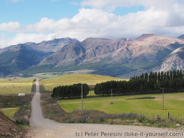
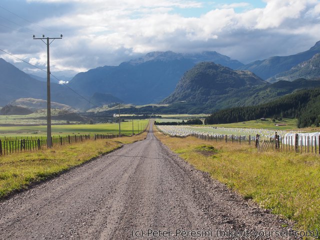
I start the day less as in the morning I am still furiously updating the blog and then shopping for food. After around 15 kilometers of pamevent, I am opting for a "shortcut". This is an alternative road which is 10 kilometers shorter but on a ripio. I am choosing it mostly because I am expecting to see better views and less wind.
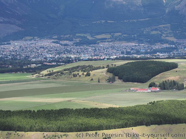
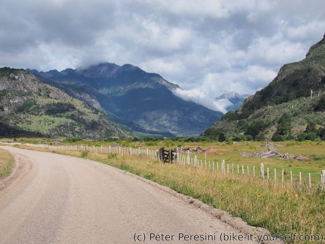
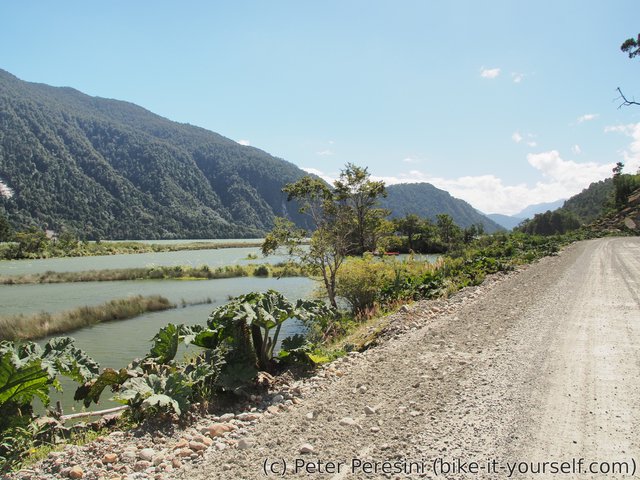
The road goes to a village named Villa Ortega where I am getting a small&quick resupply joined with a second lunch. From there the road gets better and I am slowly descending to a valley with amazing vistas.
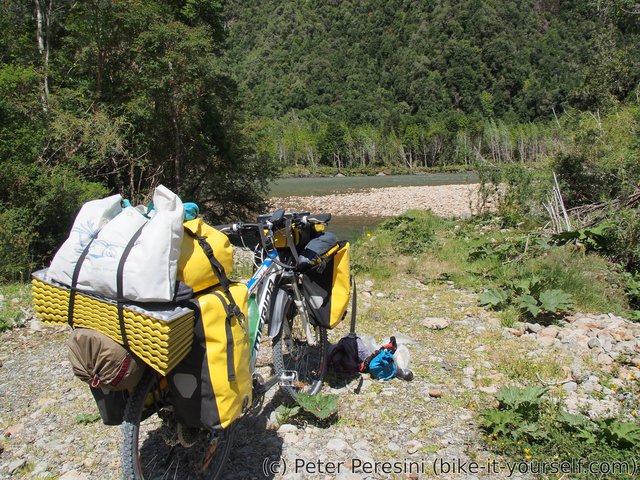
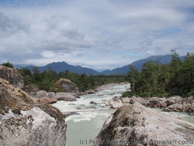
The only problem I have is finding a good place to camp. As it gets evening, there aren't many possibilities around because the country is populated enough to always be in a direct view from some farm or another. In the end one bridge helps me as there is an access road down to the river and I am setting up my tent there.
January 26
The night is very hot. I think the hottest I experienced so far. The morning brings another surprise though. I am under a heavy attack! Of slugs. Seriously, they are all over my tent and even as I am trying to get rid of them the next ones are somehow slowly going in the direction of the tent. In the end, I managed to de-slug the whole area around the tent but it took me quite some time.
On another note, as soon as I start on a bike, I am splitting a chain. Yesterday I already felt that one link might be troublesome and today it just gave away. Not a good start of the day. I am suspecting the bike shop if they correctly reassembled the chain after exchanging the derailer.
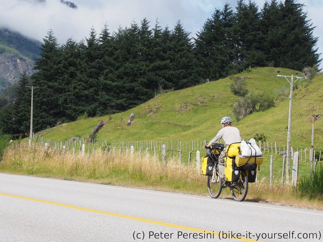
After the trouble and a few kilometers of ripio, I am back at asphalt and cycle towards Villa Mañihuales where I am having a lunch in a presence of local dogs. One of them is annoying enough though to mark my front wheel.
Afterwards I cycle more but the technical problems aren't gone yet. My front derailer isn't adjusted very well -- either it shifted or maybe something changed when I shortened the chain and now I can't quick-adjust it to properly work with all gears. So I am stopping again and twiddling with it until it fits. This isn't a particularly easy with a bike loaded with baggage and not on a stand but after some time I am managing to find a good setup.
In the evening I again have problem finding a good wild-camping spot. By the time I find a small forest side-road the clouds are heavy in the expectation. And only a while after I setup my tent I have a visitor -- a cyclist Sebastian from Germany who started in Mexico and is going south. We quickly make a dinner and go inside our tents as it starts to rain.
January 27
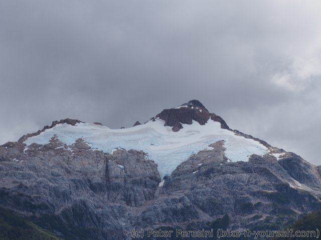
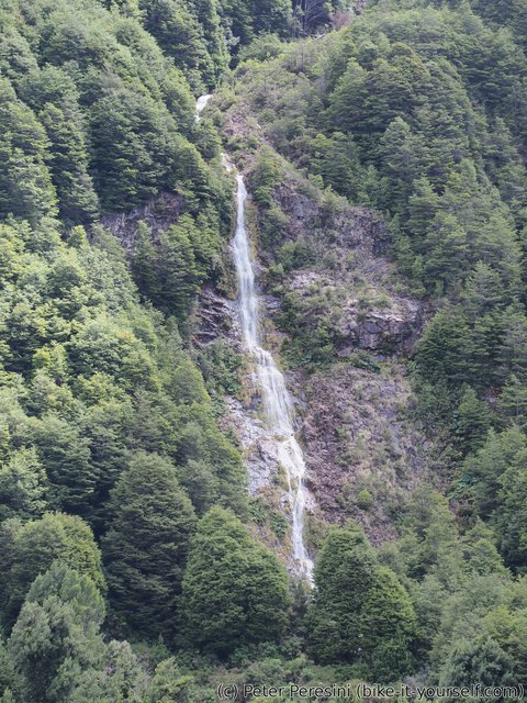
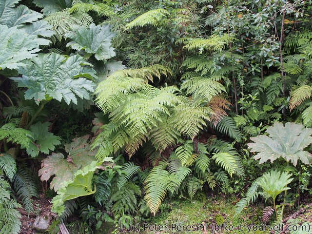
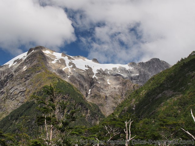
It rains heavily during the night. And there is no change in the morning. Sebastian is packing his things and leaving but I am just waiting till the afternoon. According to the forecast it should stop raining then. And it is true. In any case, this marks again an afternoon start of the day. The ride starts around Laguna Torres where there are nice views of mountains and even some glaciers. Then I have a lunch break at Villa Amengual -- a small village where I am very surprise to not find Entel mobile coverage. Afterwards I am on a a long descent into what I can call is a land of waterfalls. Wherever I look there is a waterfall in the distance. Plus the surroundings are getting progressively more green. I have a second lunch on a viewpoint over river Cisnes.
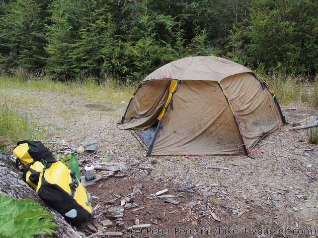
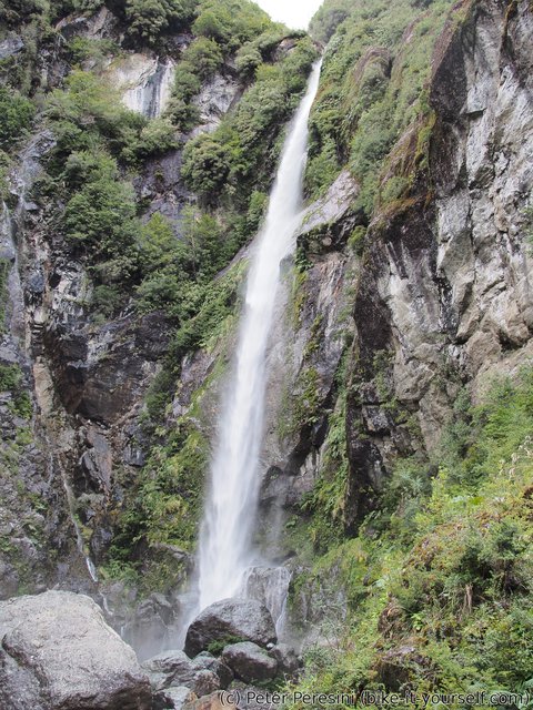
And then the Queulat National Park starts and with it a ripio road which isn't particularly good. On my way up to a pass I make a small hike to Salto El Cóndor. But my progress toway was slower than expected. By the time I almost reach the top of the pass there is evening. And no place to camp. But this being a national park it is actually forbidden to camp here. And the next camping is over 30 kilometers away. Well, it is impossible for me to go the that far on a ripio today so instead I am opting out for a second sideroad parking place. The first one actually had a sign with no camping on it but this one looks to be fine. Of course, I am well visible from the road but what can I do, there aren't many choices here.
January 28
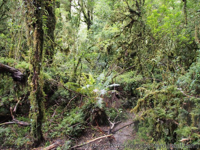
Fortunately, there wasn't a ranger visiting me the previous evening nor in the morning. Still, I am packing my things early. I am actually going back around a kilometer to the starting point of an "Enchanted Forest" trail.
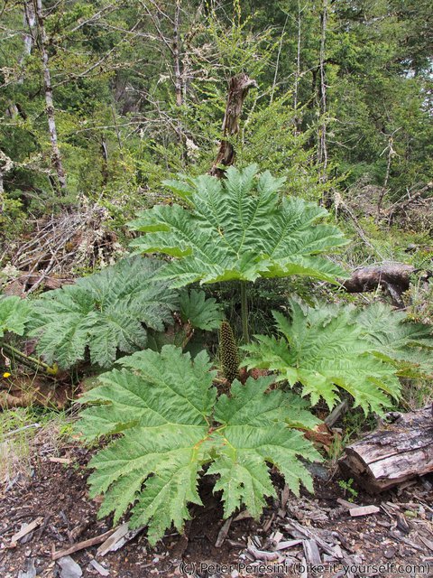
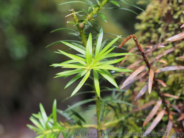
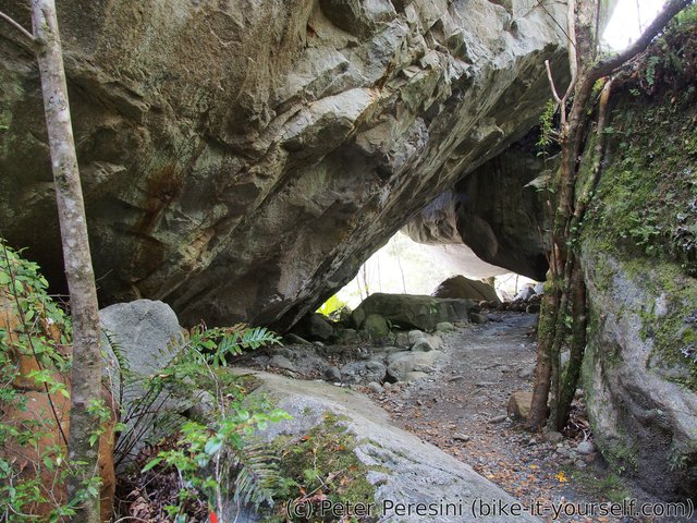
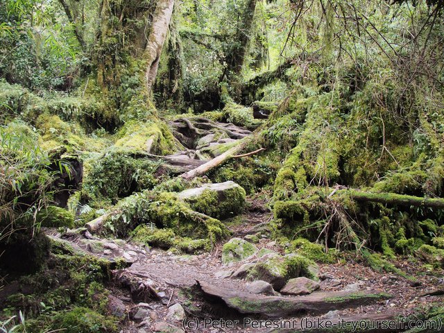
The trail is amazingly green with mosses, ferns, lichens and anything else which depends on a lots of water and coolness. This goes on for some while.
Then the trail leads up to a perfect viewpoint over a small lagoon, mountains and a glacier.
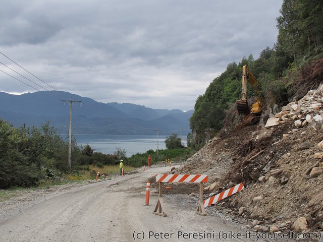
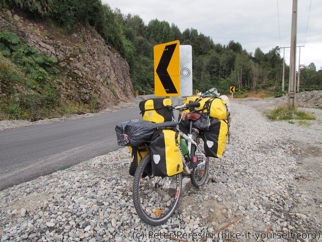
And then is the time to go back to my bike and cycle 30 kilometers to the campsite. On my way down the pass I am meeting two guys who cycled from Peru. And a lot of construction works -- apparently they are planning to turn this ripio into a paved road very soon. When I have maybe 15 kilometers more to go, I stop for a break. And this is where this technical things go again wrong. First, my bike fells as I am eating my food. This I quickly learn is the final nail to the coffin of my bike stand -- it is completely bent and useless (I could perhaps bend it back but I don't think the steel would be able to hold the bike anymore). What is even worse, I am locating a bad link on my chain -- I felt it again from yesterday and now I am proactively looking for fixing the chain before it breaks again. Except that instead of splitting the chain I manage to break my chain tool. Which is super-stupid because now I cannot do anything with the chain. But then, the camping is so near that I might just survive with the chain till it anyway. Except that I am meeting two ladies on bikes whom I explain my trouble and they are nice enough to try to help me. Which is a mistake -- the damn link also bends their chain tools. And to make it even worse, the second attempt actually manages to slightly unpin one of the link plates. As such, I am definitely breaking the chain again, now without a way of fixing it.
A technical sidenote -- a bike chain consists of two types of links -- innner and outer which are alternating. The inner link is a one piece of metal but the outer link consists of four parts -- two outer plates and two pins holding the plates together. To split or join a chain, you need to remove a pin from some outer link. This also means that if you break the chain, you need to remove two links (the bad link and the opposite parity one) from the chain and as you may suspect, doing this many times shortens the chain too much for the derailer to work properly.
In any case, repairing a chain (e.g., inserting a pin) without a chain tool is pretty much impossible. Or is it? There is a special type of an outer link -- a master link -- which can be joined by hands. And I have it (actually, I am slowly stocking them up. They are light and very useful). So my plan is simple -- just remove the broken outer link and use a master link instead. Except that the broken link is still held by one pin. And it hels pretty tight. At first I thought I might just use pliers to remove the outer plates. Oh man, how wrong I was. It took me half an hour of twiddling before I managed to remove one outer plate (and not surprisingly I bent and broken the outer plate before actually getting it off the pin). I though that I won but the damn pin even holds to the inside link a bit. Fortunately, not with much force. And after all that fuss, I was unable to join the master link so easily -- it should simply click to itself except that it did not want to -- maybe I slightly bent a next link while I was trying hard to remove the bad one. Finally, I manage to fix the chain. But can I tell you that this is not something you want to ever experience. I definitely need to get a backup chain tool from now on.
Technically, I could have hitchhiked some car passing bike but hey -- better experience the technical problems and their solutions on a safe place where there are many cars and cyclists instead of learning it the hard way in a middle of Bolivian desert.
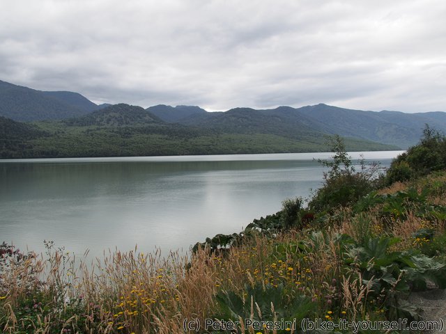
After I finally manage to repair my chain, I am setting off again. The road goes around a lake (except it is not a lake but an ocean) and through some construction works. I am repeatedly stopped by workers who stop the traffic for some time.
After I finally get to the camping in the national park, I am super-lucky. I am getting the last available spot. I am not so lucky with my trek though -- all the delays on the road mean that it is too late today for the hike. But on the other hand, I am learning that Puyuhuapi is pretty close so I can easily do the hike tomorrow and then get to the village.
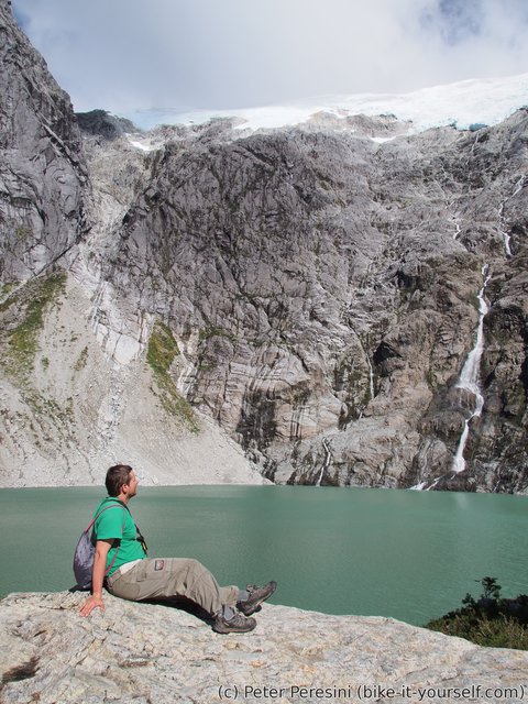
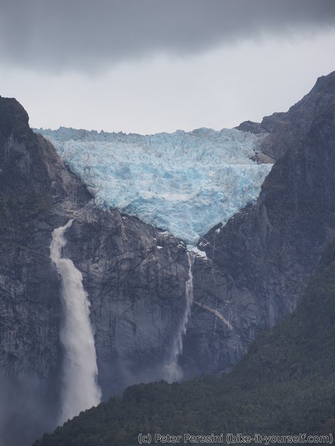
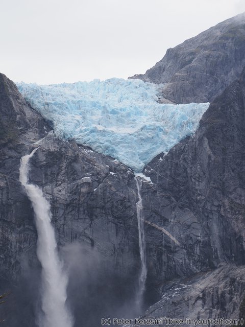
Oh, and what hike I am talking about? Well, there is basically one thing why you should visit this place. It is called "hanging glacier" (Ventisquero Colgante) although it does not really hang (at least I don't think so). But it is still quite impressive, with a waterfall next to it.
Because it is still quite early but I cannot do the main trek, I am instead choosing to hike some small alternatives around. The place is quite nice and varied -- on one side you can walk to a big lake into which the glacier melts and on the other side you can see how a nature deals with rock falls. Prety huge rock falls.
January 29
In the morning there is a German couple of hitchhikers which comes next to my site bringing their assembled tent. It turns out that they arrived super-late, nobody was at the camping office and so they camped at the first place which they found. Of course, in the morning they were discovered and so they needed to move their tent. As they planned to visit the glacier viewpoint as well, I am slow at packing my stuff because I expect to wait for them. In the end, the waiting is quite long so I decide to go ahead.
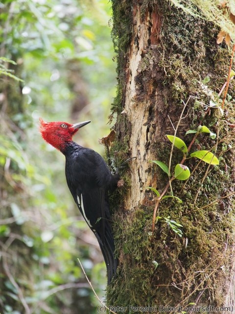
The weather is not so nice as yesterday -- the sky is overcast. But it does not matter too much as the bulk of the trail goes through a green forest. And I am actually very lucky here -- I am hearing woodpeckers and one of them is very close to the trail. And it is not very bothered by hikers so I can get a very good photo of it.
I can see the glacier only at the end of the trail where there is a viewpoint. It is still far away but that does not mean it is not impressive. Especially the waterfall is marvelous and I can't imagine the force with which the water crashes into rocks down there. Definitely not a good spot for a shower.
After I am back and start riding my bike, it gets quite chilly. This is a microclima though because it gets much warmer only a few kilometers down the road.
Of course, the road works continue which means a crappy road plus some waiting. At one point, I even witness a construction machine throwing rocks of a size similar to my wheel to the road. Yep, they definitely are working heavily on the road to turn it into asphalt.
It is therefore a big surprise when around 10 kilometers before Puyuhuapi the ripio changes into a good new asphalt. Oh yeah, this is a ride! The downside is that the quick access to Puyuhuapi is closed and I need to make a rather lenghty detour around the village to get there.
I am surprised that in the camping I am meeting Moritz and Marta again. They should have been gone by now. But apparently Moritz has some illness -- he had fever and a stomach ache so they decided to stay here for a few days.
In the evening it starts to rain, as predicted by a forecast I had from few days ago. But no worry as this is an unusual camping -- it actually has a roof over the tents. I am wondering if this is because the village gets so much rain or what is the reason.
Route
Download simplified GPX of a route here
Stats by activity:
| Activity | Distance (km) |
Ascent (km) |
Pedal rotations (thousands) |
|---|---|---|---|
| bike | 233 | 2.7 | 48 |
| hike | 15 | 0.6 | - |
| Date | Distance (km) |
Ascent (km) |
Avg. temp (moving, C) |
|---|---|---|---|
| Jan. 25, 2017 | 50.8 | 0.84 | 20.6 |
| Jan. 26, 2017 | 70.6 | 0.57 | 24.4 |
| Jan. 27, 2017 | 51.2 | 0.82 | 20.8 |
| Jan. 28, 2017 | 40.9 | 0.56 | 19.4 |
| Jan. 29, 2017 | 34.6 | 0.52 | 16.5 |
Elevation data
The next table is only for cycling activity.
| Grade(%) | Ascent (km) | Descent(km) |
|---|---|---|
| < 2 | 91.8 | |
| < 4 | 14.7 | 23.7 |
| < 6 | 9.3 | 10.1 |
| < 8 | 5.1 | 5.4 |
| < 10 | 3.6 | 3.4 |
| ≥ 10 | 3.8 | 4.9 |


