
Vicuña to Freirina
 Share:


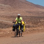
Vicuña marks the start of my journey through Atacama desert. And also the start of another Ruta 5 avoidance operation. While this cannot compare to the majestic ride through Paso Agua Negra, the road (except for the unavoidable parts of the autopista) wasn't terribly boring.
April 6
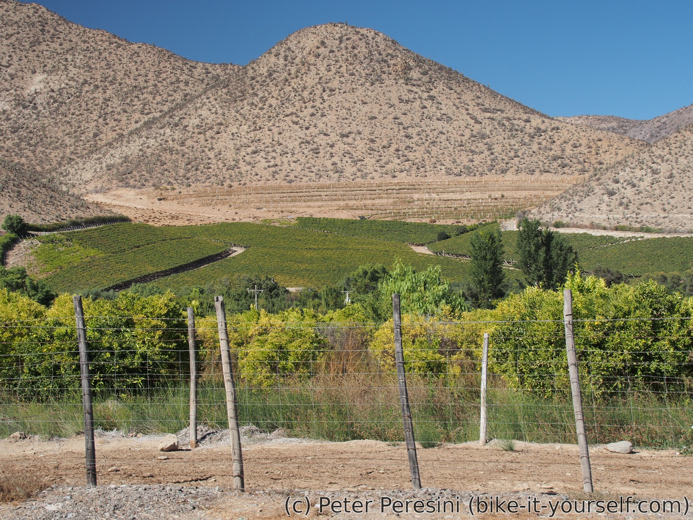
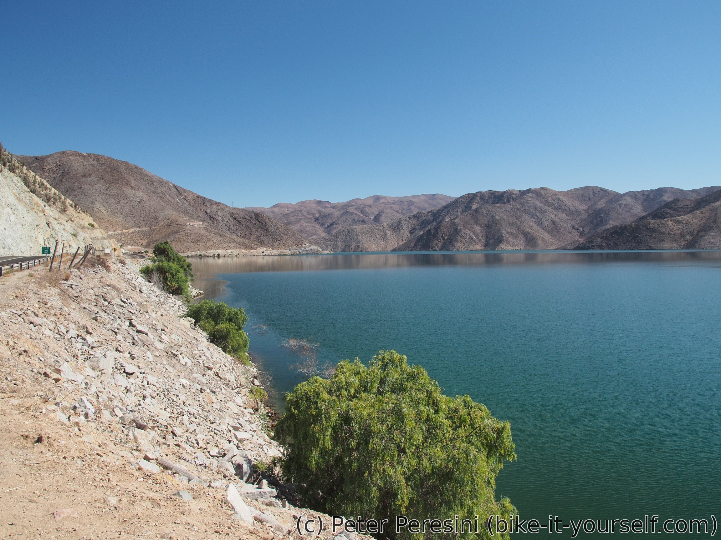
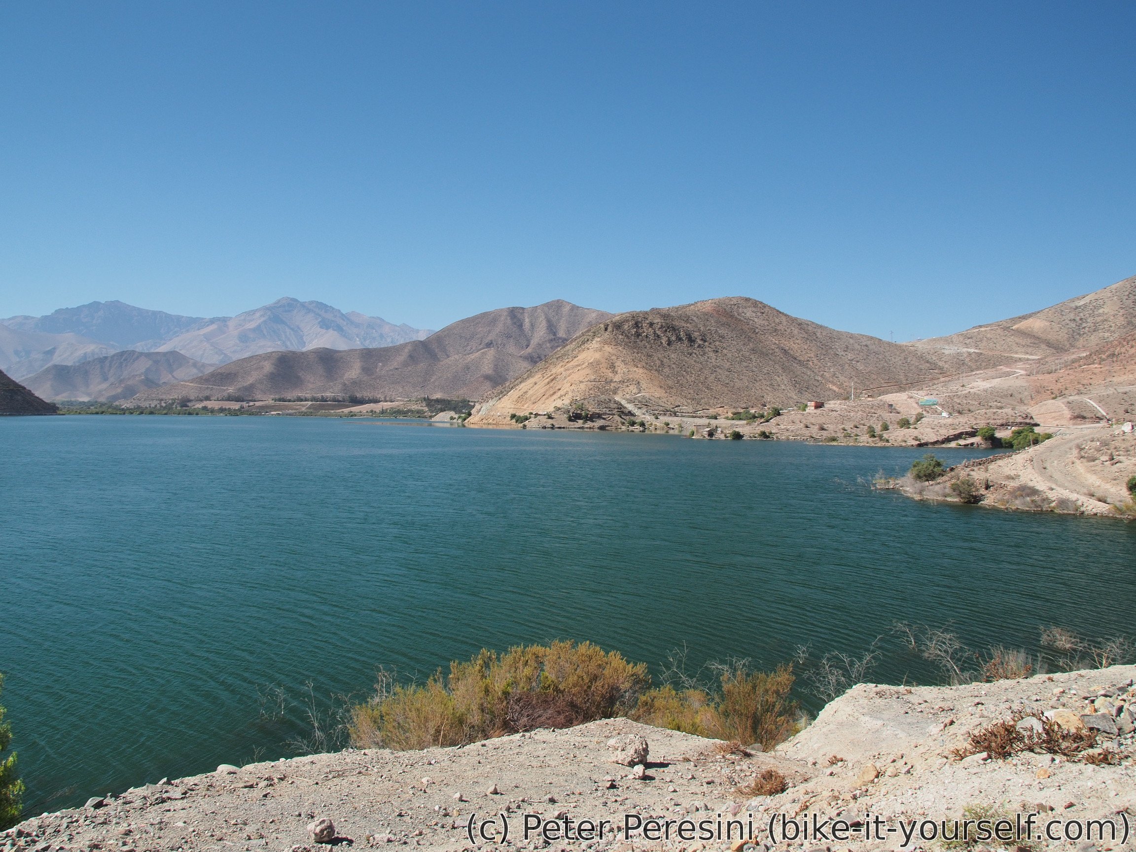
As each time when in a camping, the morning routine is pretty slow. As with Franco we both go to La Serena, we decide on a joint journey. The road from Vicuña is again surrounded by vineyards. To change the scenery, the road later decides to go around a big water dam and from there we have a short but quick descent.
After we have a traditional lunch in a restaurant, the last tens of kilometers are before us. The road becomes a bit more busy, the surroundings get more ugly as we approach the outskirts of the town and the super sunny weather turns into misty clouds above us. This, combined with a wind, makes La Serena surprisingly cold.
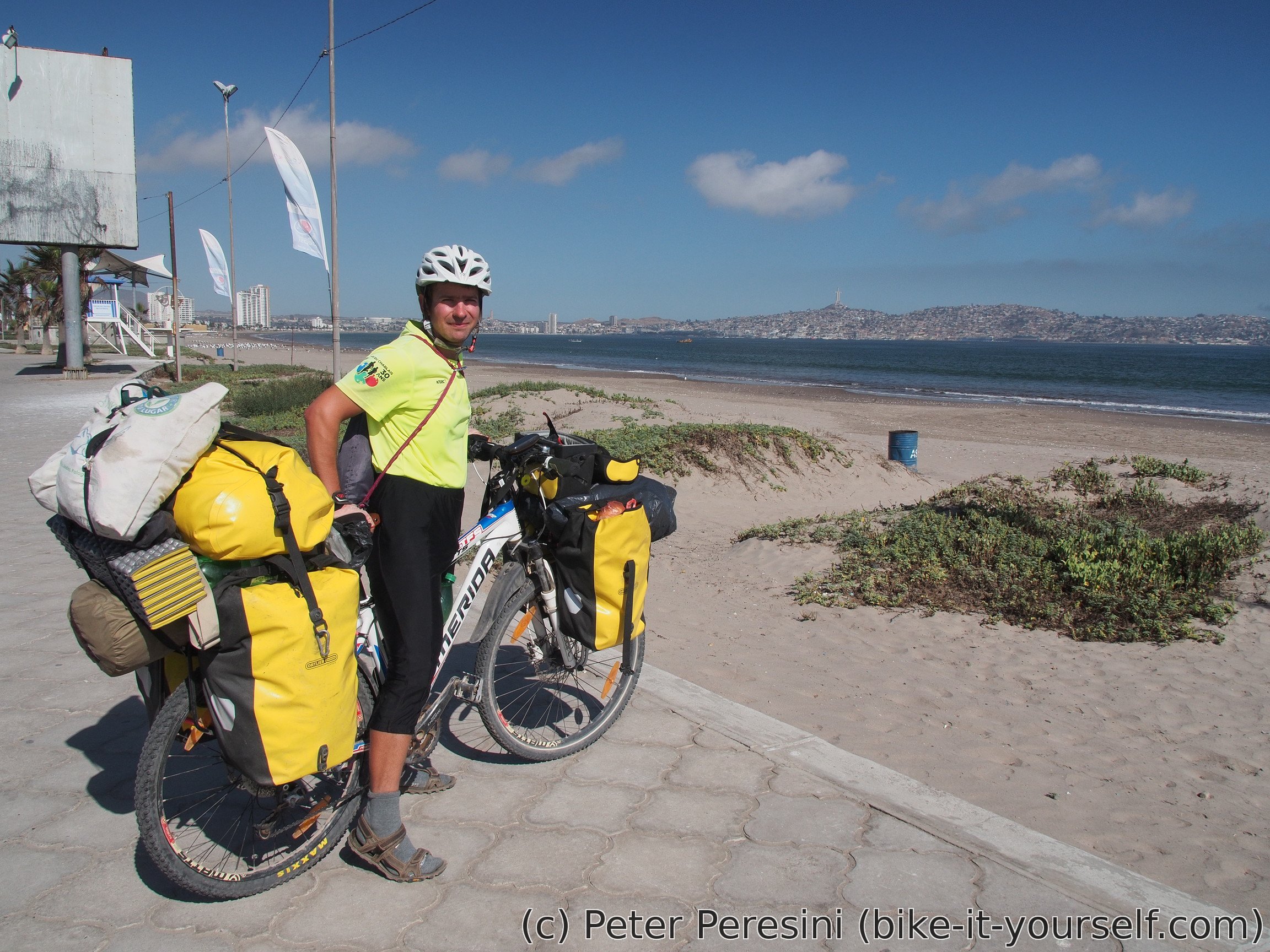
When we pass through the center of the city (oh, and what a big city it is) we finally end up on a long beach with very big waves (because of the wind). Our plan is to go to a camping I have on a GPS. Unfortunately, this proves to be a rather difficult task. As we make a round around the place the camping is supposed to be, we are learning a sad truth -- a year ago some developer bastards turned the camping into a multi-story luxury appartments. Fortunately, Franco is a native speaker so we are quickly finding out (or maybe not so quickly, the workers we met just kept chatting forever) an alternative plan. And while the alternative did not work out as well, in the end we managed to secure a night in a family house for not such a bad price.
As there is still some time before the bed, we decide to spend the evening just walking around the beach, breathing the atmosphere and filling our bellies.
April 7
If yesterday was slow start, today is super slow. When we finally leave the house we both cycle towards the center of La Serena. There I am saying goodbye to Franco who wants to spend one or two more nights here. My plan is to go to the north on the autopista.

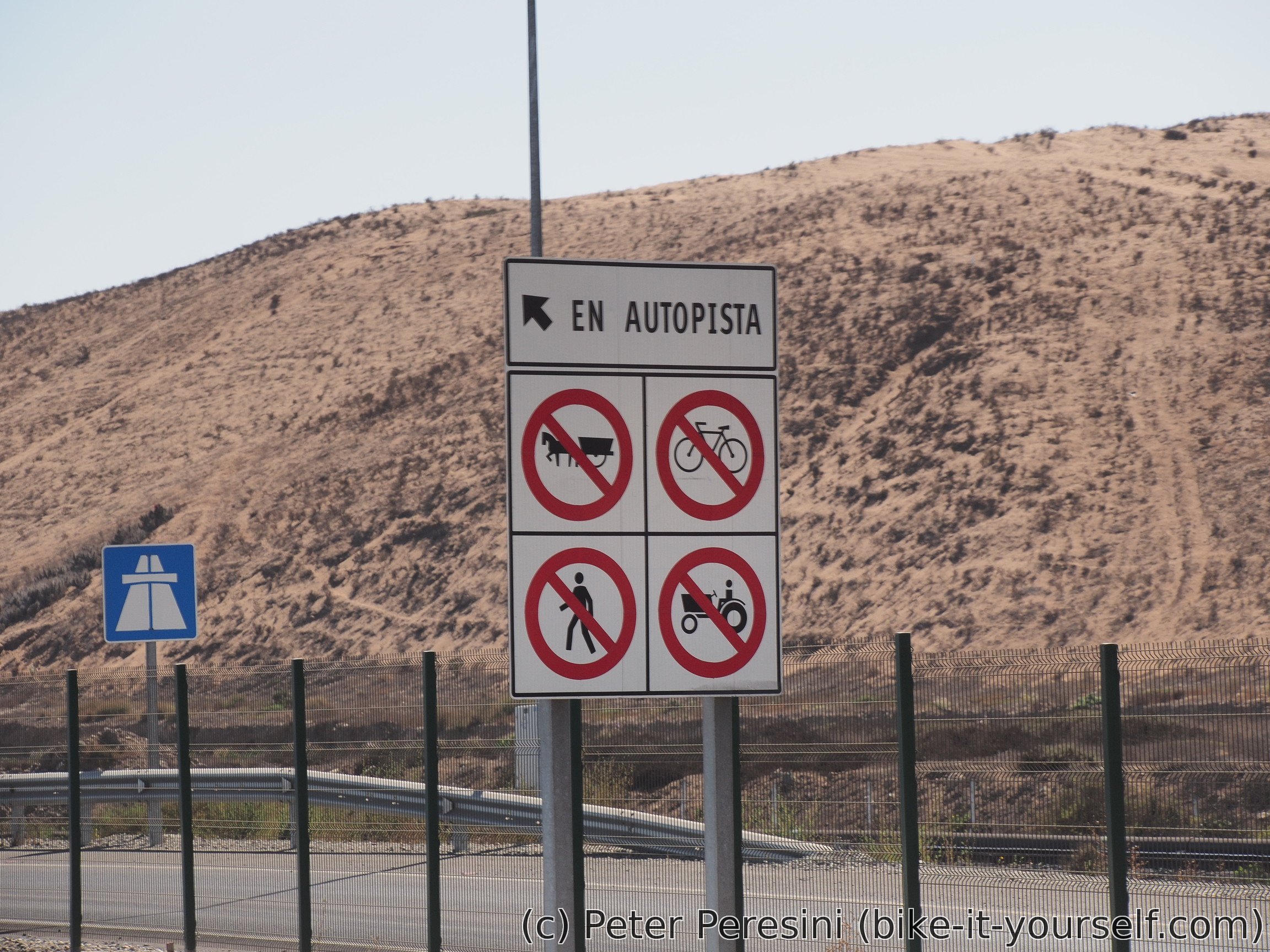
I really would like to avoid this road but there are zero (reasonable) alternatives. As if to add to the insult, there is a big sign which shows that cycling is prohibited on this road. Damn you Chileans, at least give me an option! On the other hand, at least the local police knows that there is no alternative. During the day I see at least three police cars but nobody stops me (unlike Slovakia where I am sure I would get a pricey ticket).
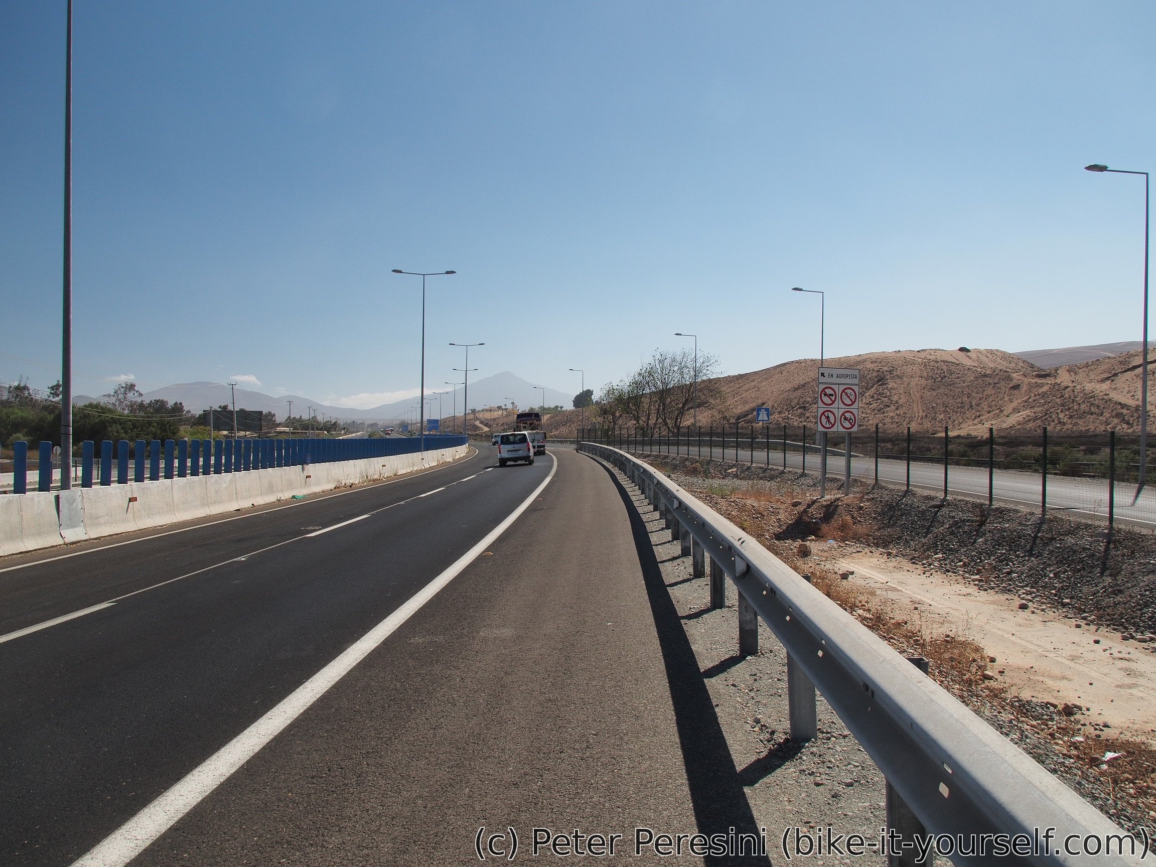
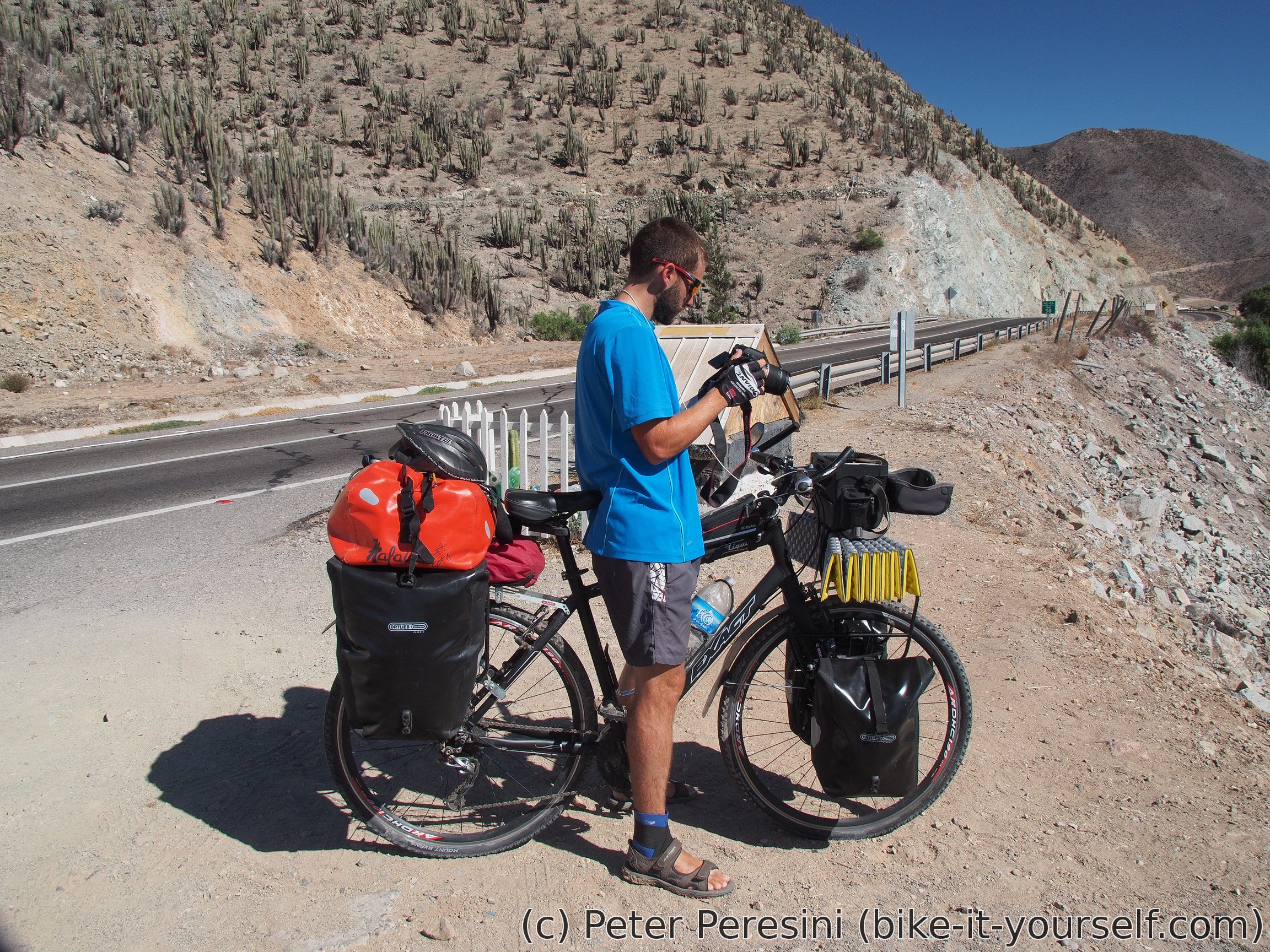
So I cycle on the motorway. It goes roughly around the coast and is surprisingly hilly. This makes me sweat when there is no wind blowing. In a little village of Los Hornos I am preparing for the next few kilometers by eating an empanada. From here it is tough work. I need to climb 500 meters and I feel like standing next to a furnace.

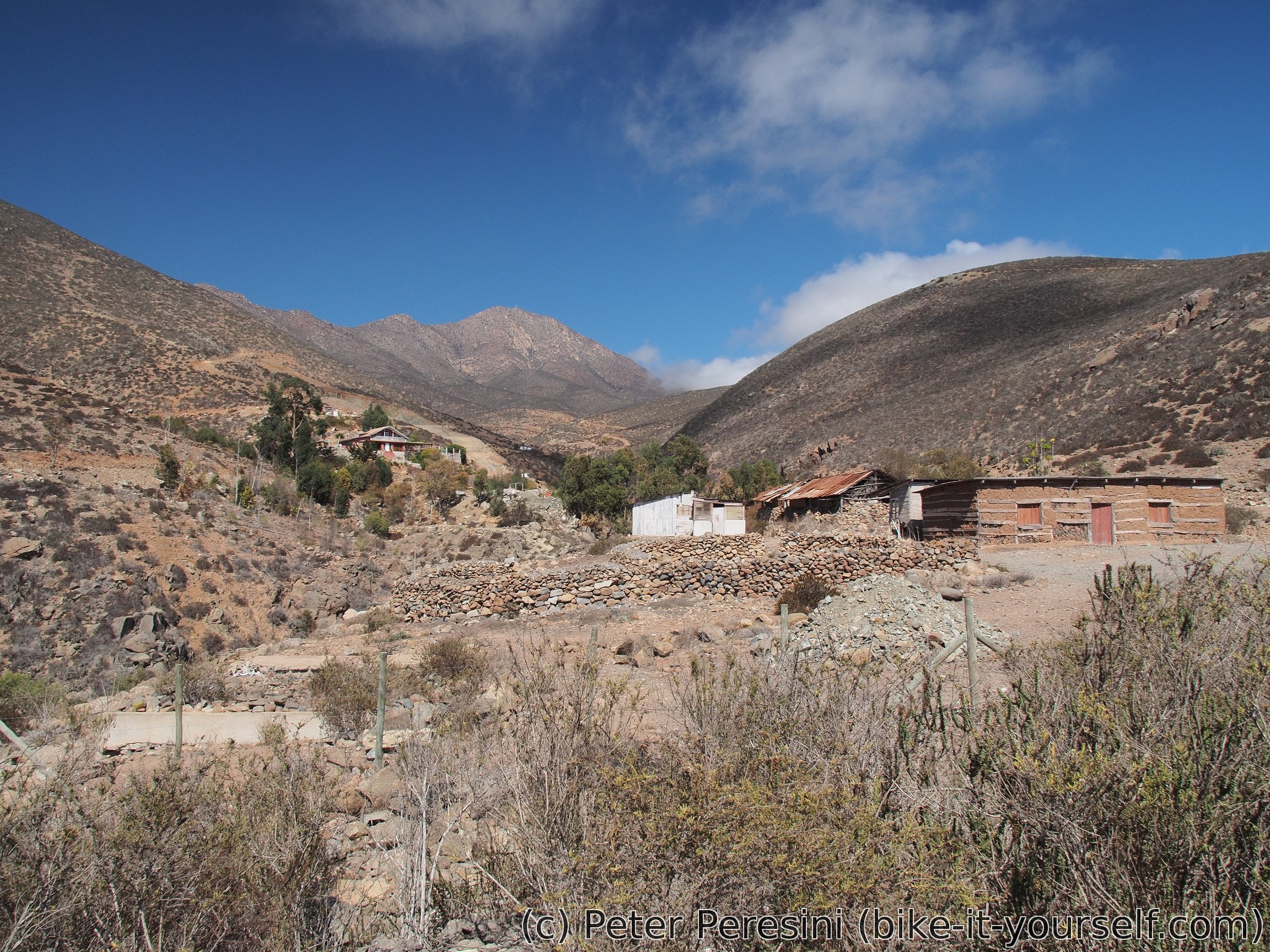
The climb takes a considerable time. Actually, so much that just after it I am starting to find a good place for camping. This reveals itself after a junction to La Higuera village. The place is flat, not very rocky and reasonably far from the busy road. The only downside is that it is windy.
April 8
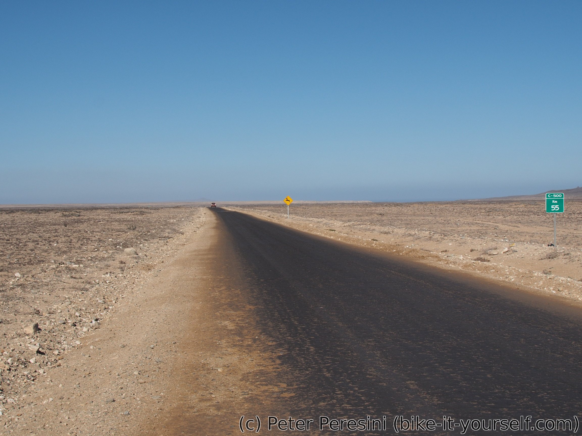
I welcome the day by being a bit cold -- the wind is blowing and the high clouds aren't letting enough Sun radiation through. I quickly finish the remaining 17 kilometers on the autopista and then I am starting again operation Ruta 5 avoidance. Unfortunately, this brings worse roads.
I am taking a ripio road to Choros Bajos where I have a lunch and gain more kilos to carry int terms of food. My next plan is to go to Carizarrillo and from there to Freirina. Unfortunately, while the road from Carizarillo looks nice on the map, the GPS tells a different story with up to 20% grades. A local query does not improve this impression -- a random guy tells me that the road there is bad.
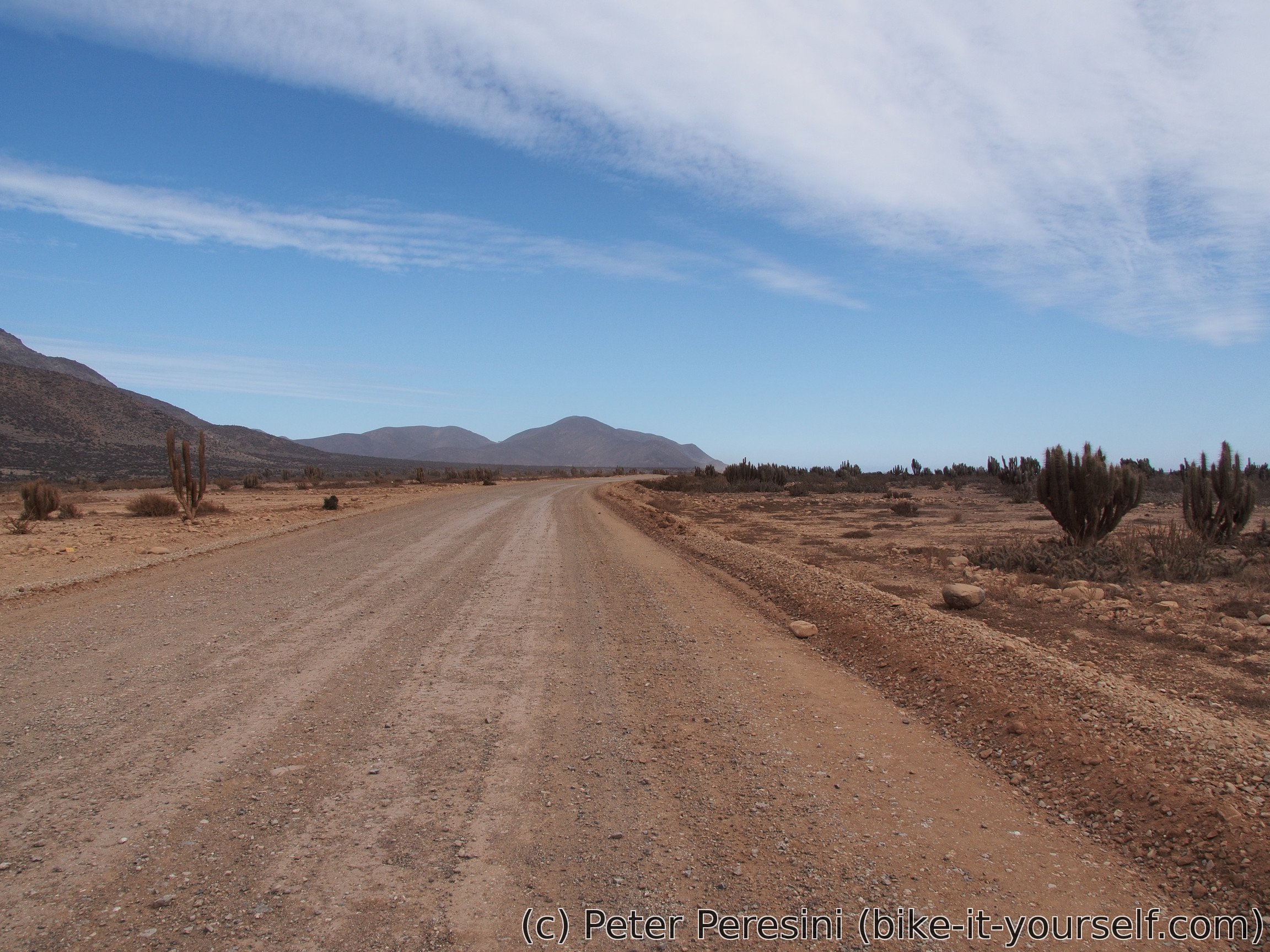
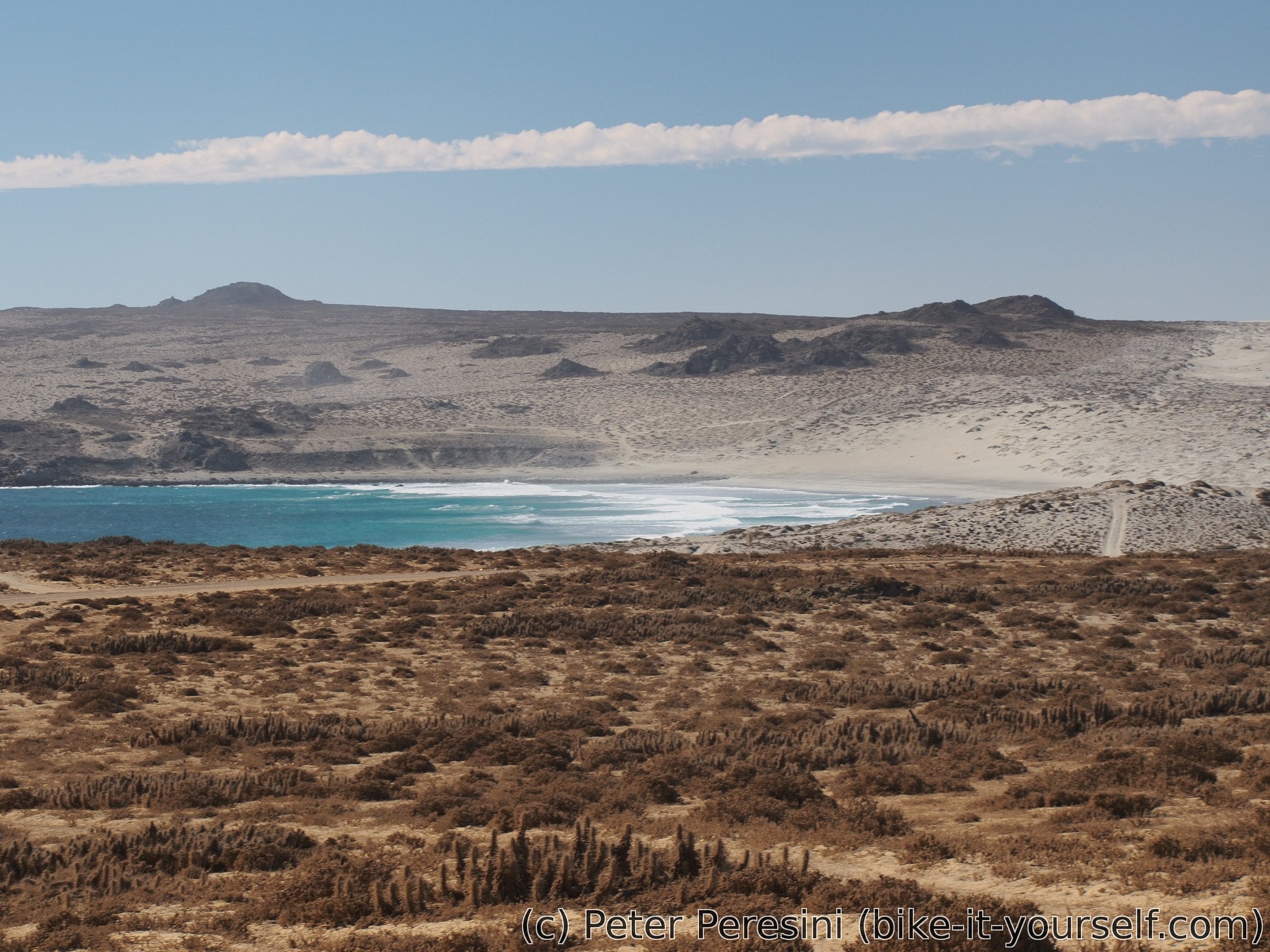
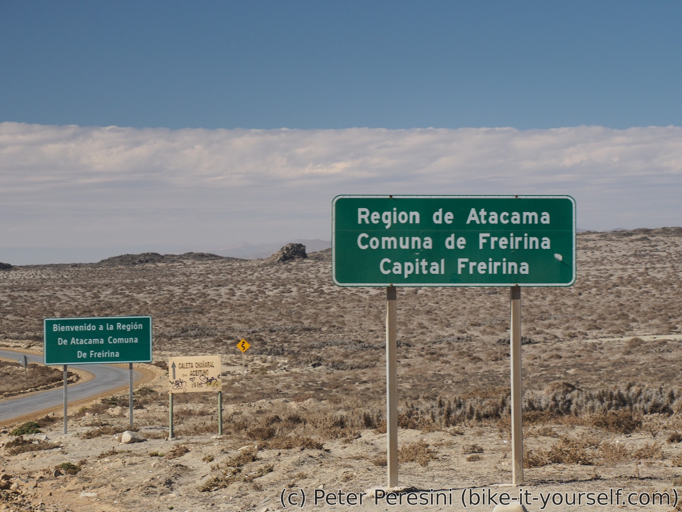
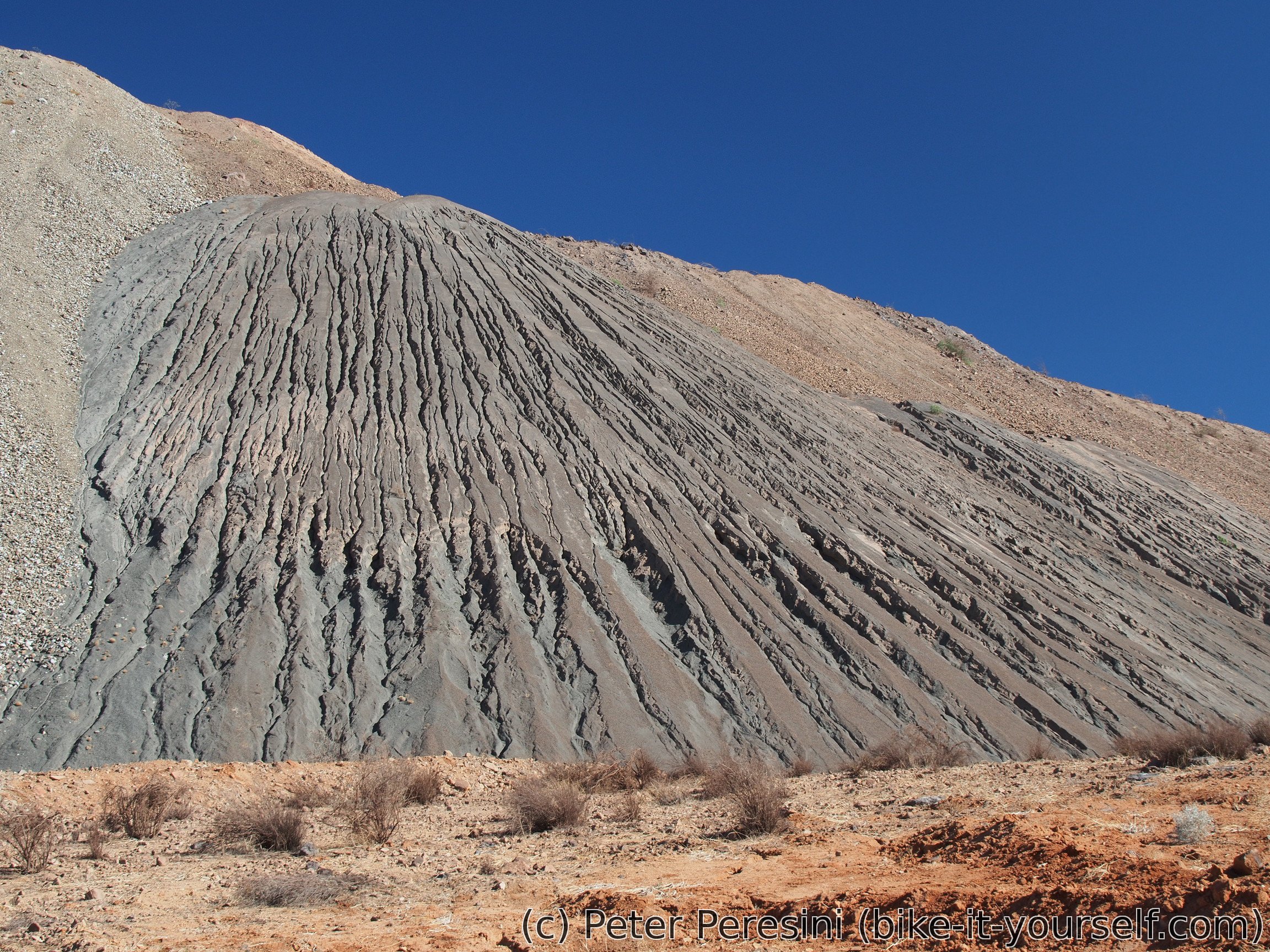
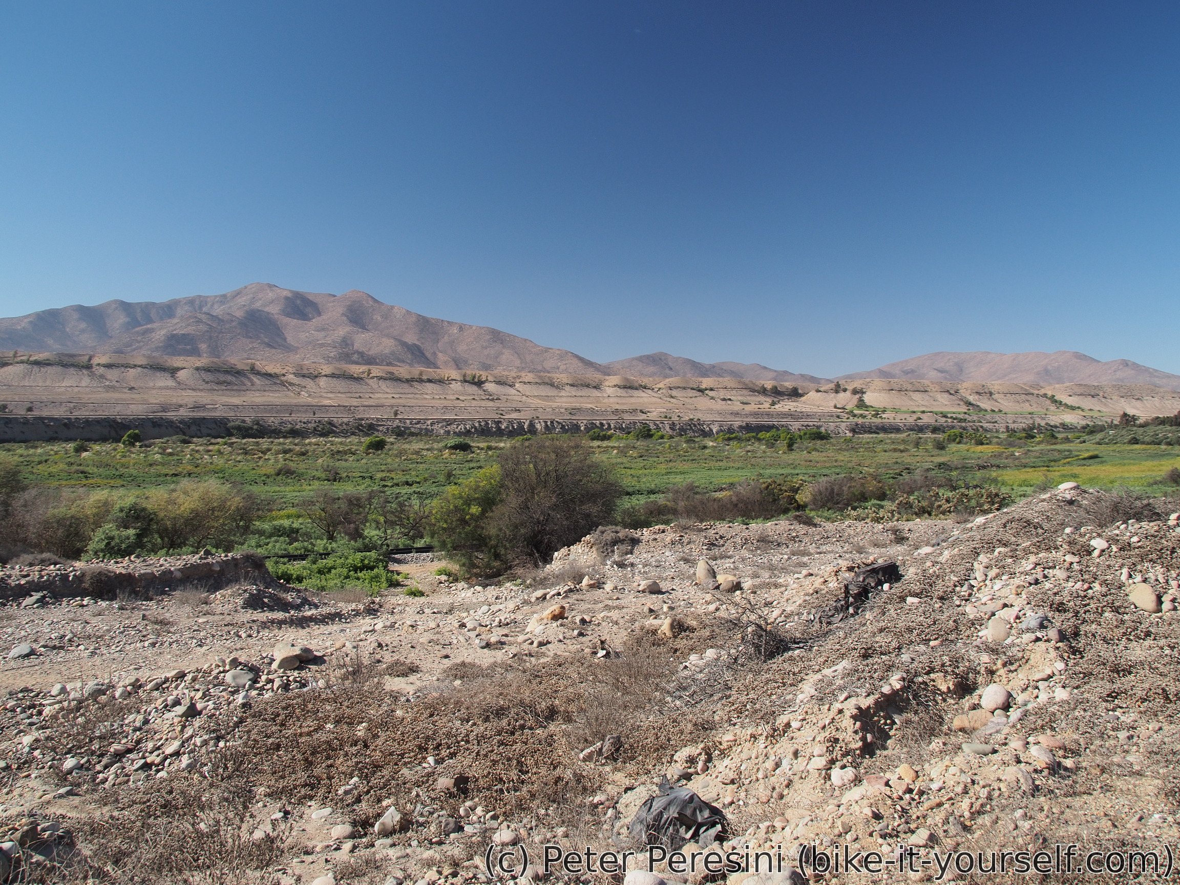
But wondering about the final part of the road to Freirina isn't going to stop me from biking further. By now, the high clouds disappeared and it is quite hot. As I am heading towards the ocean the road gets more sandy. Fortunately, this does not get too bad (as quick test on a side-tracks confirms. I definitely would not enjoy any side road as it would be pure pushing in a sand). For a while I see the Pacific ocean and then I am reminded that I am now officially in Atacama (region).

The region boundary also marks a change in the road quality. From now on the road is a tarmac-sealed ripio which rolls like an asphalt. I quickly finish the road to Carizarillo, have another chance at shopping and again ask about tomorrow's road plan. This only confirms my estimate that the road would be a complete mysery as supposedly it features (apart from the steep climbs) a nice not-so-little rocks. So I guess I will need to change my plans to use Ruta 5 again ...
Because it is quite late I don't have much time to find a campsite. Instead, I am using basically the first place that isn't too near the village. It turns to be on a real sand dunes.
April 9
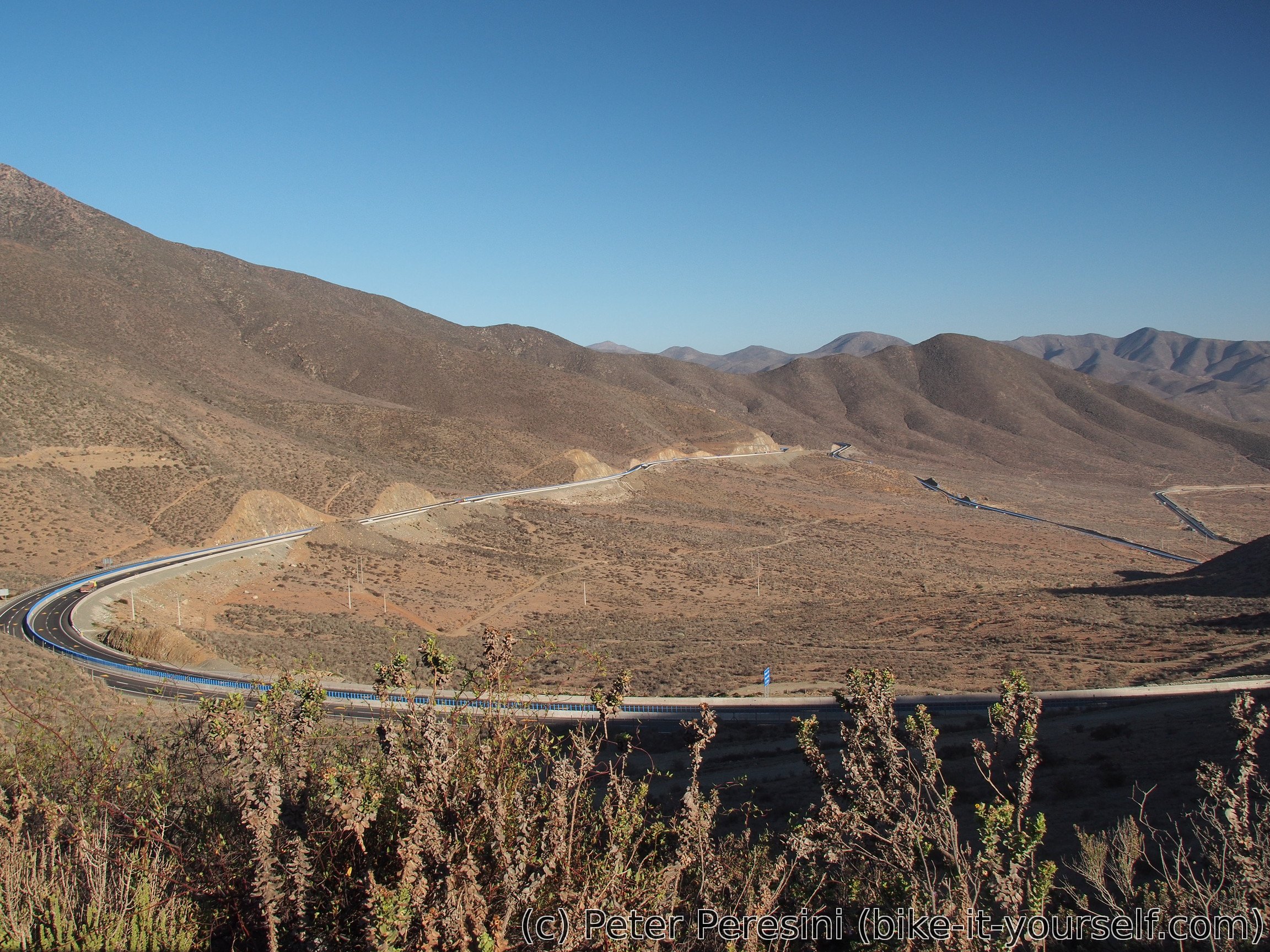
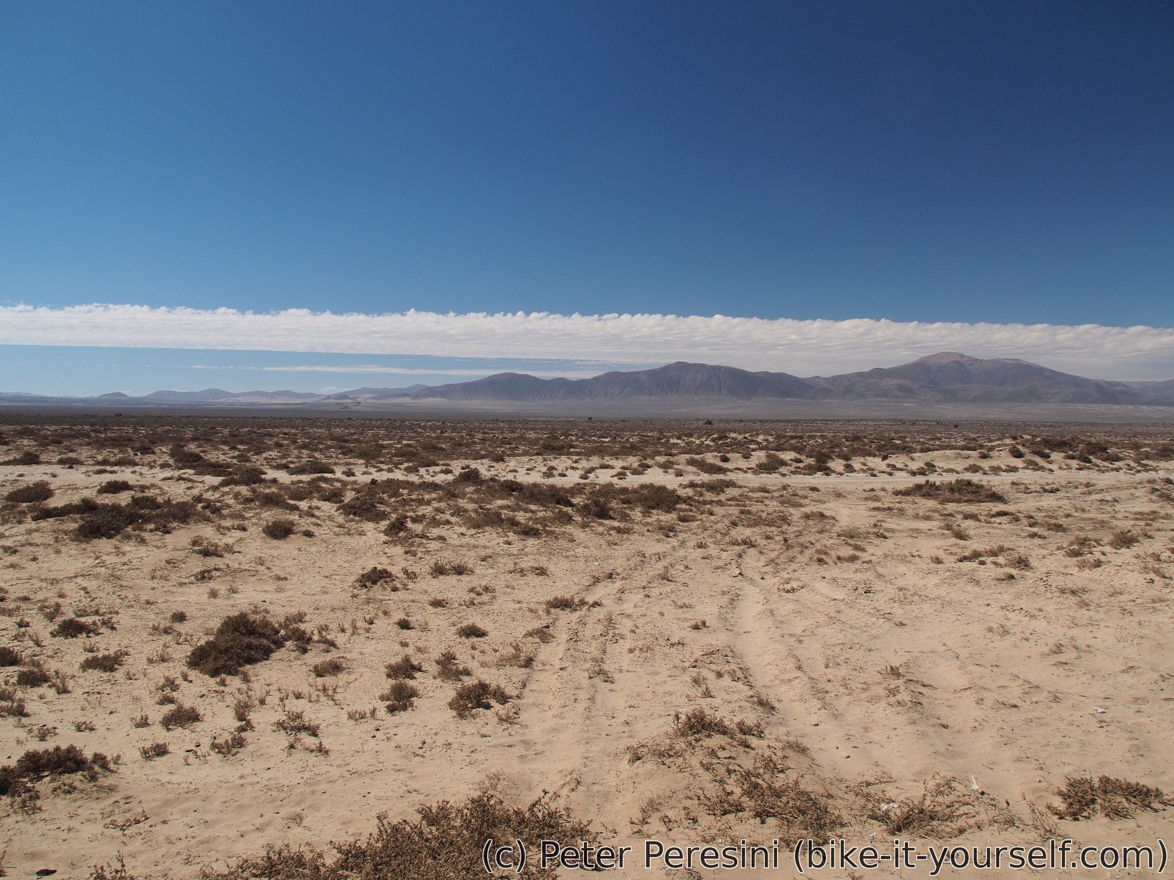
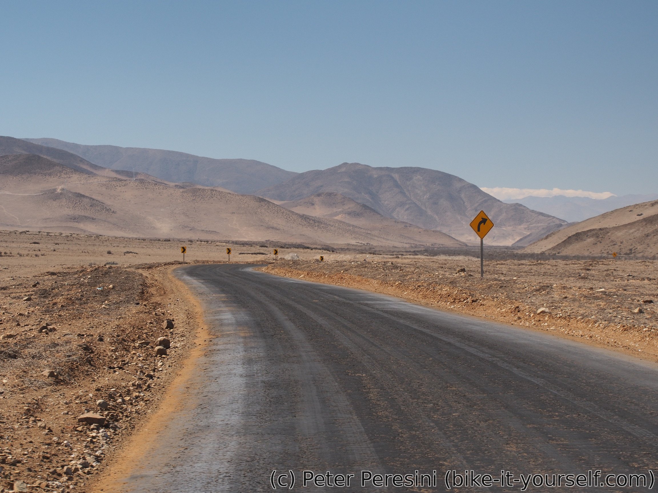
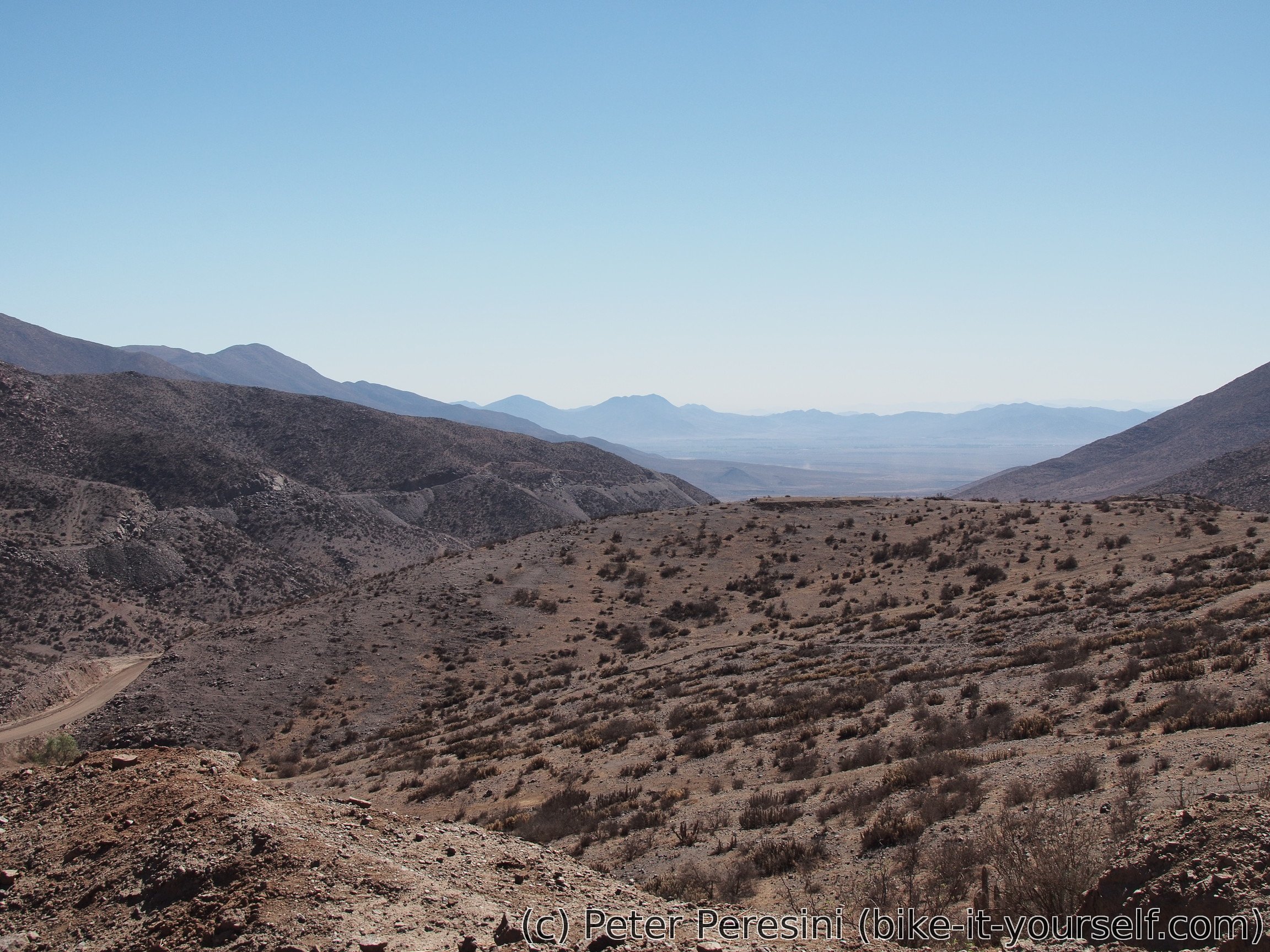
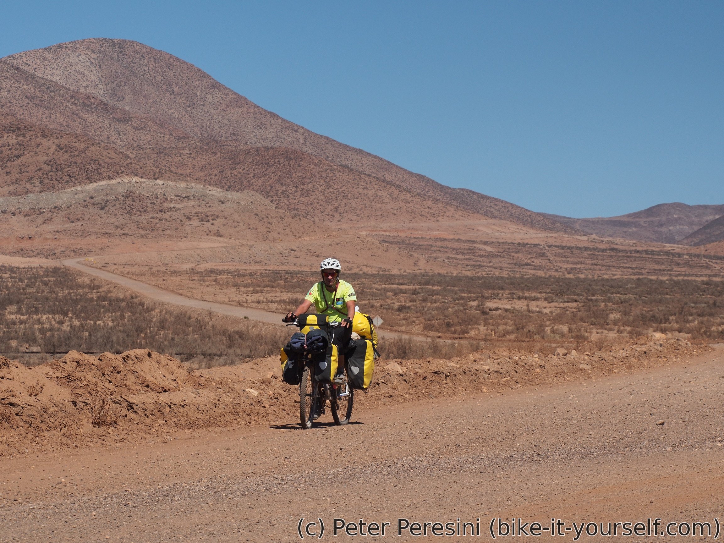
As the winter approaches my morning schedule gradually shifts. These days I manage to start rolling only around 10am. The morning ride is mostly through dry desert. As the afternoon approaches the same happens with mountains which are growing gradually bigger. And the sand is replaced by more rocky terrain. But through all of this there is an amazingly good ripio road.
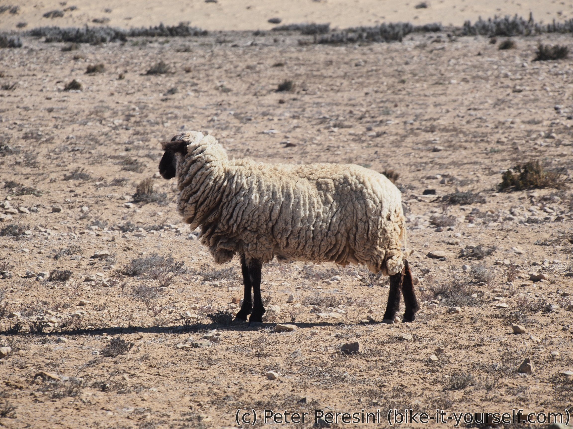
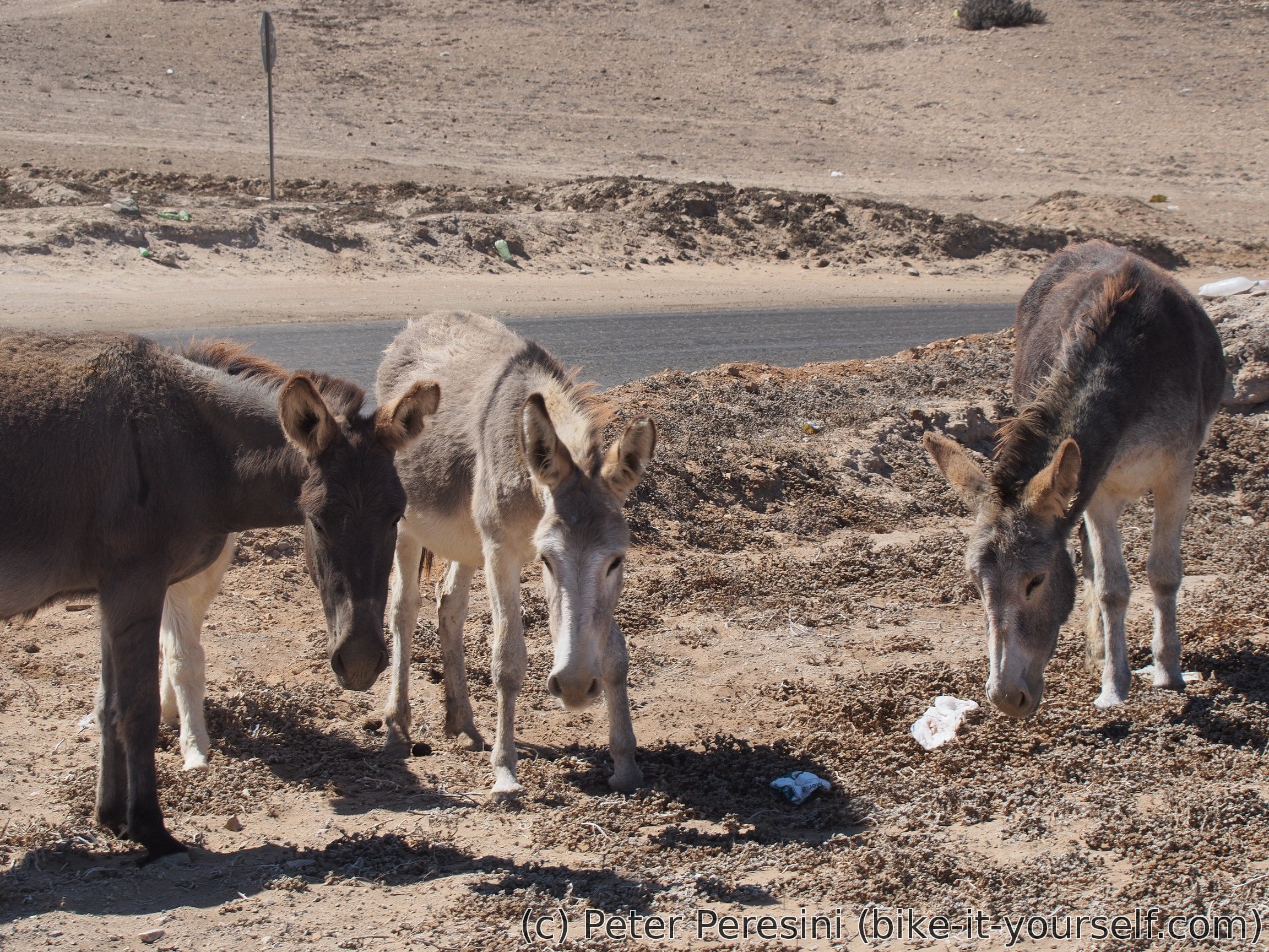
One would say that deserts does not have much fauna. Despite this I am meeting some sheep. And when I stop for a lunch a trio of donkeys tries to inconspicuously approach my lunch but I reveal their plans soon enough.
After a lunch I am making a quick detour towards Mina El Dorado to check if the road is really so bad as it was advertised. The few first hundreds of meters are quite good but then I decide it is not worth risking it. Most importantly, I am not sure I would be able to get some water on the road and if the section from El Dorado is really so miserable as everybody is saying then I could easily run out of water. So I decide to return and continue towards Domeyko.
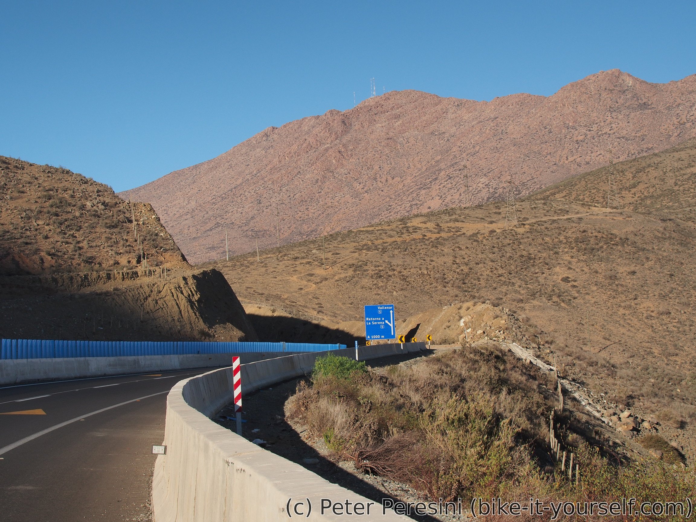
On my way I am meeting more donkeys. And I am very hot -- while there is some slight wind, it is basically a tailwind with roughly the same speed as I am cycling. Late in the afternoon I have another chance of rethinking my autopista future. There is another road which avoids the motorway on my map and according to my GPS has very good elevation profile (not going too high, all gentle gradients). Unfortunately, it is marked as "tierra" instead of ripio which probably doesn't mean anything extra good. On the other hand, now that I am out of sandy areas, even road track could be useable. And when I finally see the road it definitely resembles more ripio than tierra so I am giving it a try. The road is quite rocky at the beginning but at least it doesn't look to be going towards worse. It is also very quiet -- for the rest of the evening I did not see any car. But surprisingly I come across a guanaco. And when it is a time for camping, I am not even bothering to search for some fancy place. I just set up the tent on a road junction so that (in the unlikely case there is some car overnight) it won't hit the tent straight.
April 10
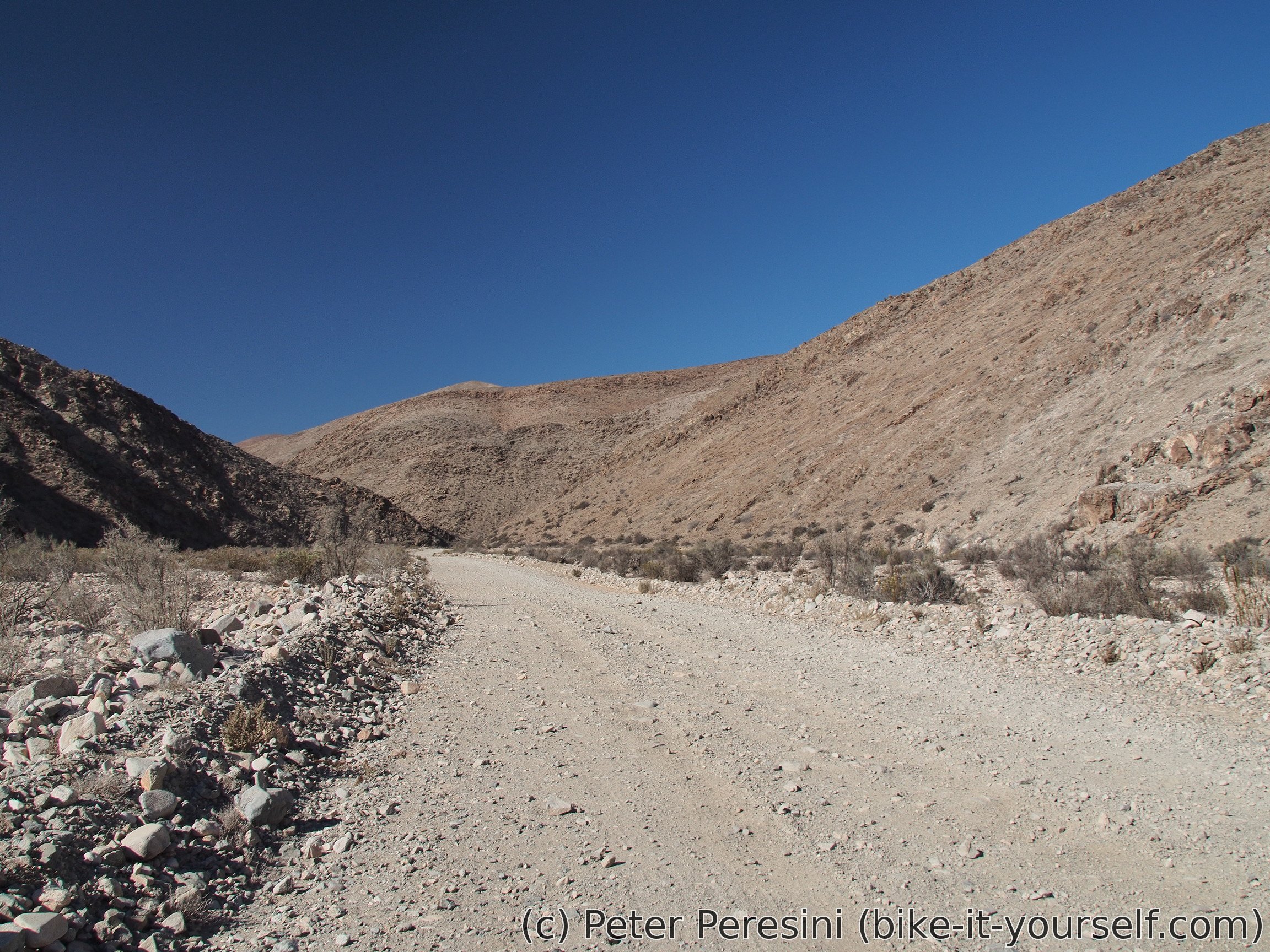
In the morning I have (surprisingly) dry tent so I can start quite early. And it is a good idea -- I have about 40 kilometers of unknown-quality road to the pavement and water only till the evening. Plus, there is a bit of a headwind. Fortunately, the road progressively changes from rocky ripio to a good ripio.
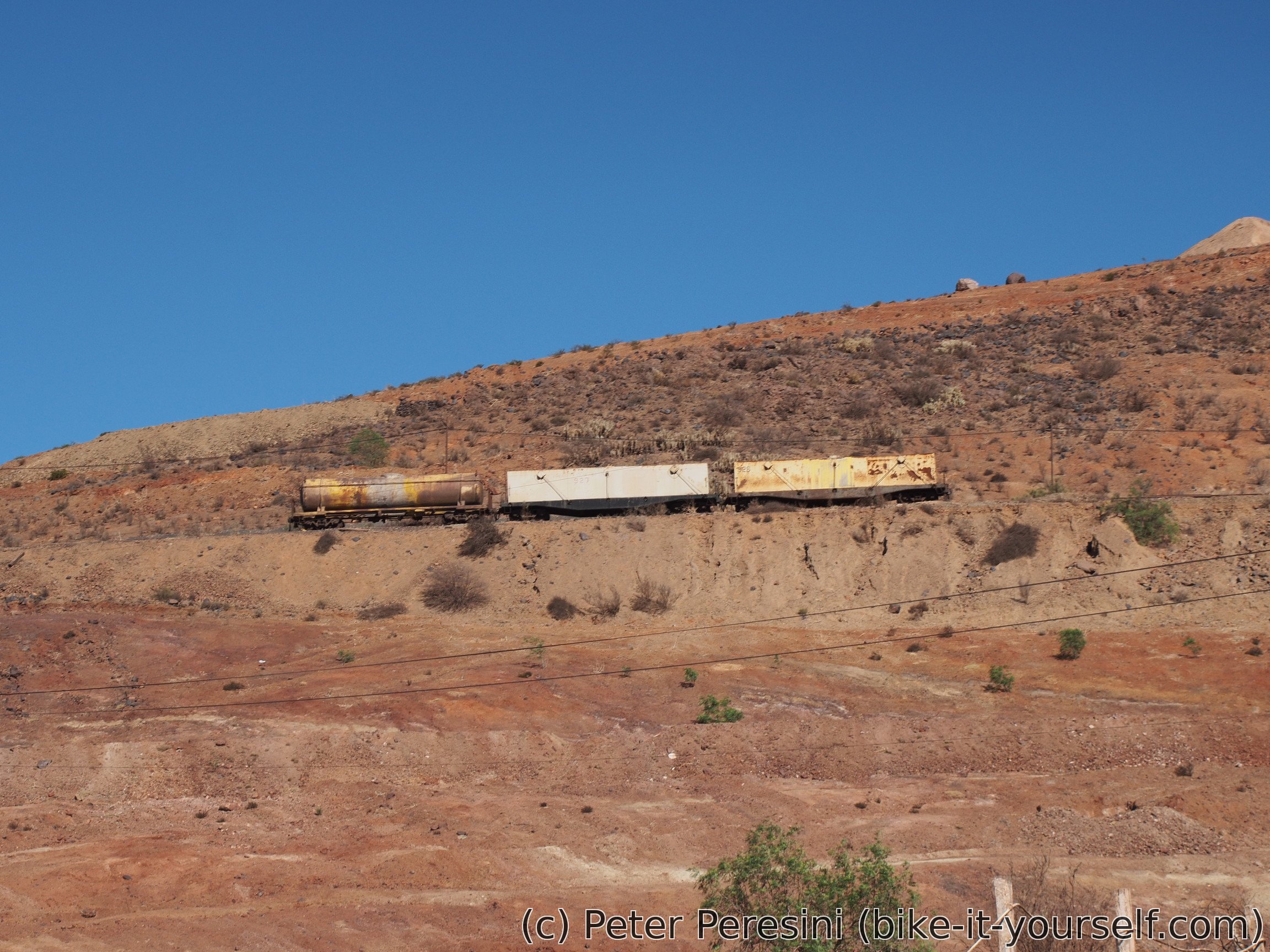
On my way I am passing around abandoned mine Algarrobo. Except that it isn't as abandoned as it seems -- I am finding some guys guarding at the entrance of the mine. Of course, I quickly take this opportunity to get a bit more water and ask about the road before me. From what they tell, the road is going to be all good!

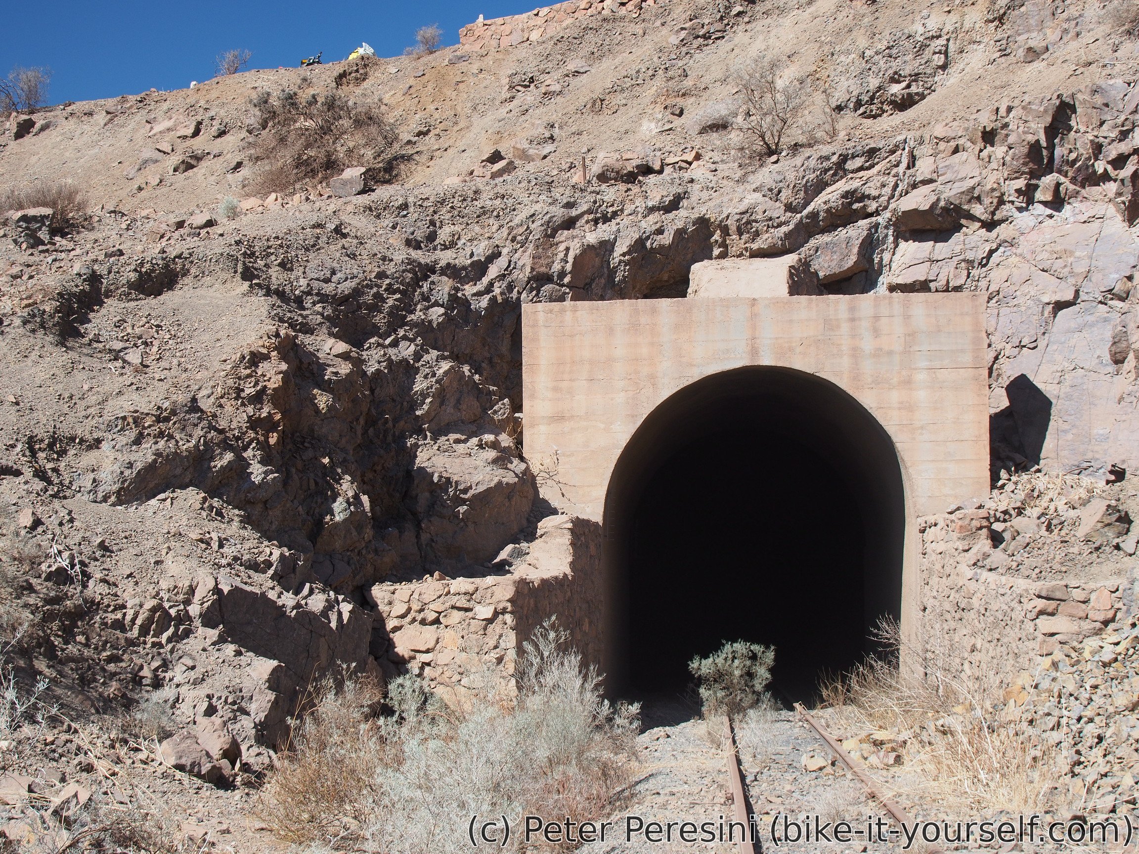
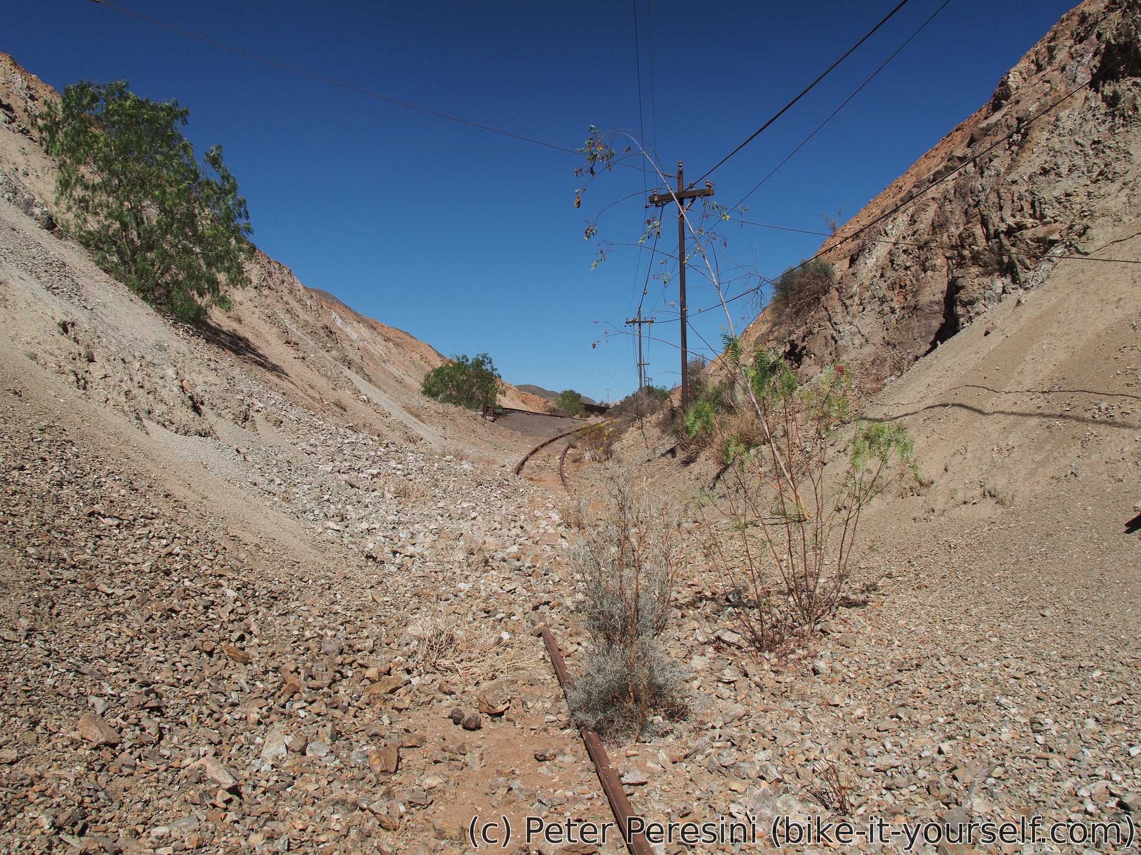
After the mine I have the last 100 elevation meters to climb into a pass. There I enjoy a deserved lunch and prepare for the downhill. My downhill ride is very quickly interrupted though as I am seeing an old railway and there is a tunnel! Yeah, of course I am going to investigate it a bit. In the end, I am actually walking through the whole 800 meters long tunnel to the other side and then back. There is no fear of meeting any train as the railway is disused (one can tell this from the amount of the rocks on the rails).

After I finish my tunnel hike, I resume my descent. The views are quite good until the road flattens. There I am taking another shortcut in a direction of Tatara. To my surprise, while I have this road on my paper map and also in my GPS, it is officially "privado" with enough signs that even a blind would find one. Well, screw it, if it is on my map, I can ride it! (Well, mostly I don't want to make a detour).
Of course, being a private road means it isn't exactly used by cars and mainteined by machinery so the quality quickly deteriorates. Some sections are too sandy and I need to push but most of it is (barely) rideable. As I pass along some agro buildings I am nearing the other end of the private road. Where a surprise in terms of a fenced gate appears. Fortunately, they did not bother to build the fence more than 5 meters from the road so I can just push my bike around it.
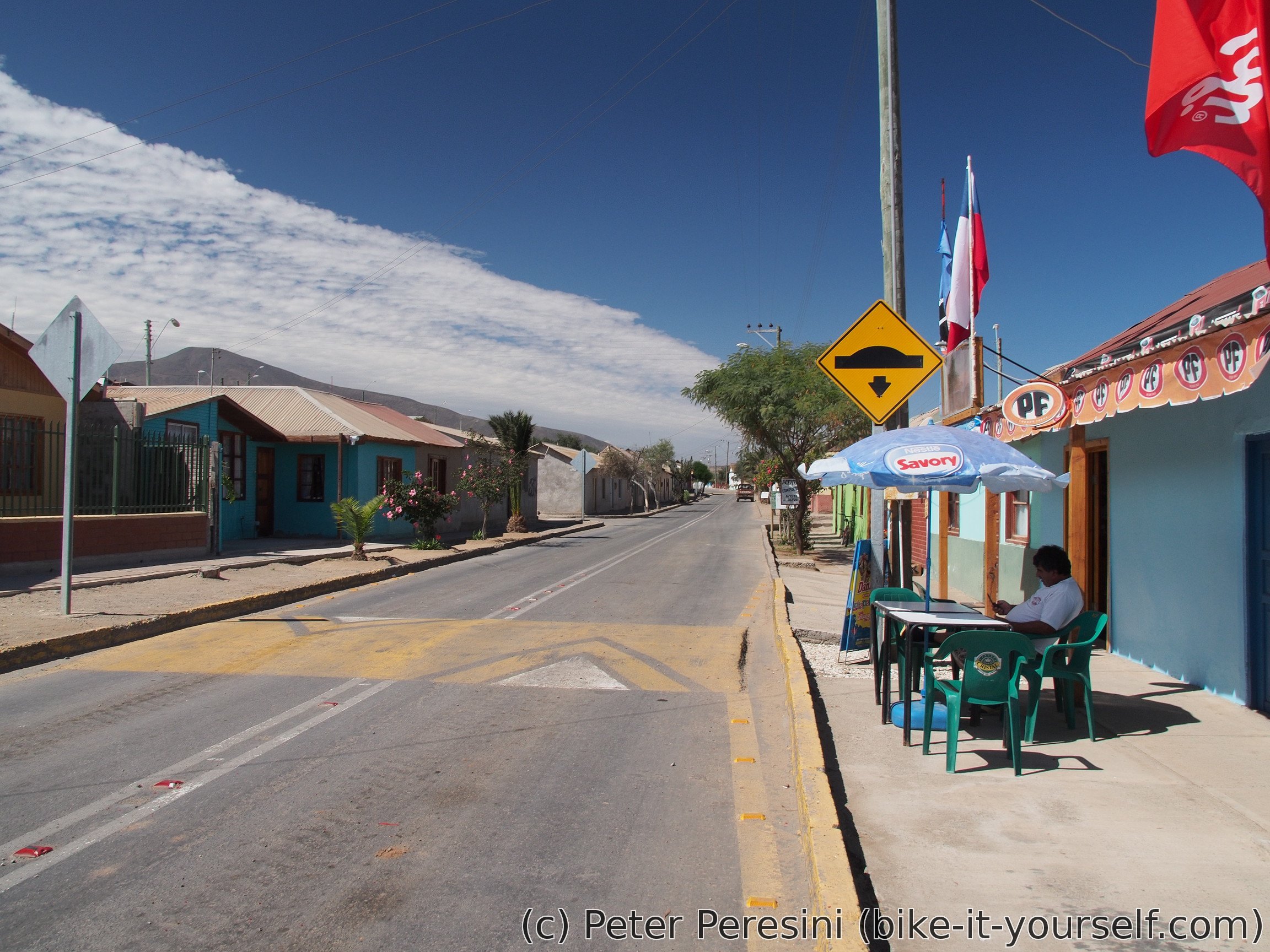
In Tatara I quickly refuel and then set towards the coast, this time on a properly paved road. As the evening approaches I pass through a little town of Freirina and I need to quickly go further to find some camping spot. Fortunately, I am finding a real camping. It is a bit on the pricey side but I have a sweet heart for campings run by old ladies. And having electricity and shower isn't that bad either.
Route
Download simplified GPX of a route here
Stats by activity:
| Activity | Distance (km) |
Ascent (km) |
Pedal rotations (thousands) |
|---|---|---|---|
| bike | 355 | 2.7 | 78 |
| stroll | 2 | 0.0 | - |
| Date | Distance (km) |
Ascent (km) |
Avg. temp (moving, C) |
|---|---|---|---|
| April 6, 2017 | 74.3 | 0.09 | 23.2 |
| April 7, 2017 | 65.5 | 0.99 | 22.0 |
| April 8, 2017 | 82.0 | 0.44 | 19.3 |
| April 9, 2017 | 64.8 | 0.68 | 25.7 |
| April 10, 2017 | 70.3 | 0.52 | 24.8 |
Elevation data
The next table is only for cycling activity.
| Grade(%) | Ascent (km) | Descent(km) |
|---|---|---|
| < 2 | 201.6 | |
| < 4 | 27.2 | 35.2 |
| < 6 | 13.7 | 11.1 |
| < 8 | 5.4 | 6.0 |
| < 10 | 1.0 | 1.0 |
| ≥ 10 | 1.2 | 2.0 |