

Uyuni to Llica (Salar de Uyuni)
 Share:


It wouldn't be a complete ride in Bolvia if I did not check out the Salar de Uyuni. This big salt flat is a famous tourist destination because it isn't everywhere that you can ride a jeep on a big salt lake with seeing only salt all around you.
May 24
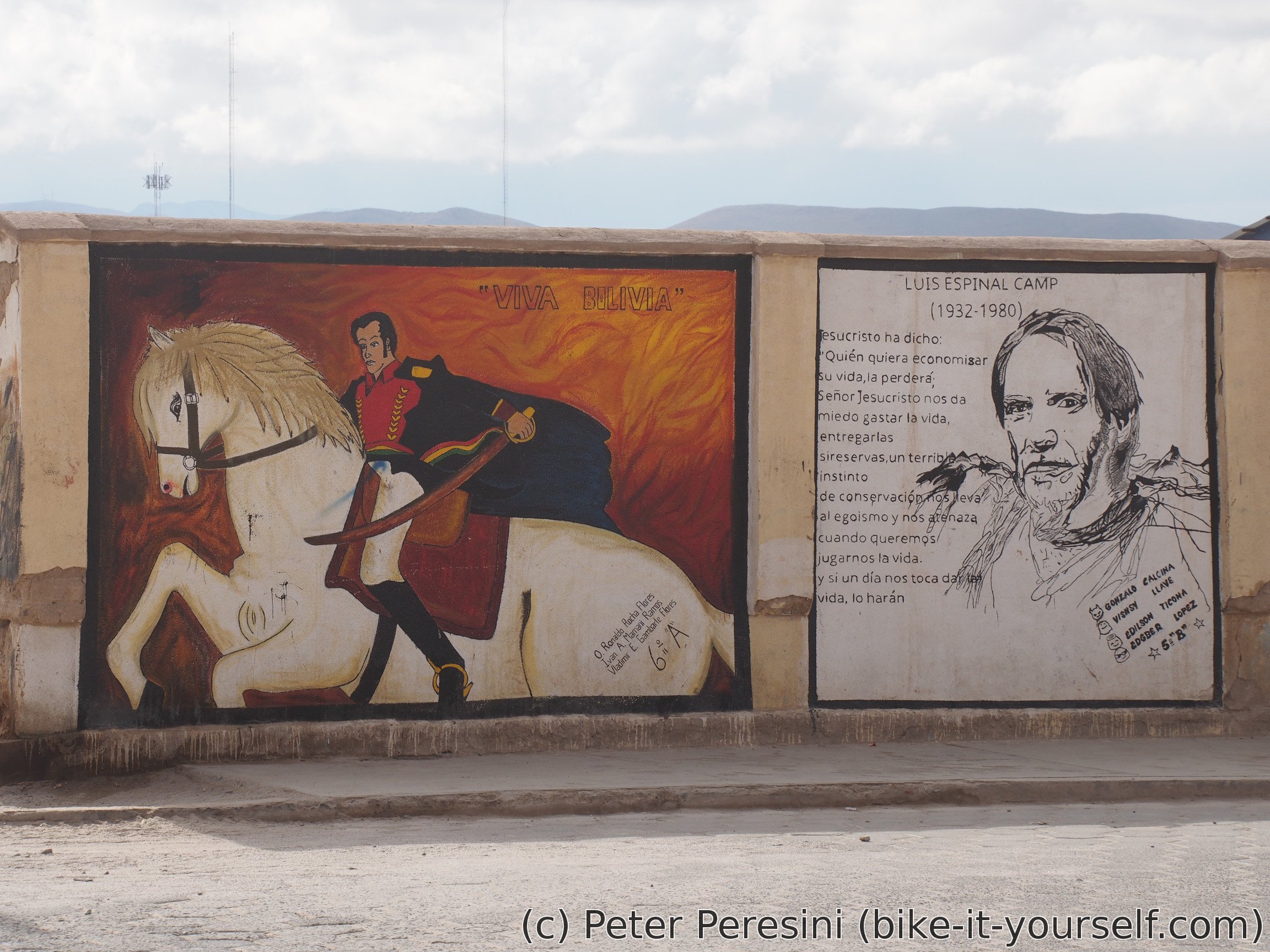
As usual when in a town, I am starting the day a bit later. This time I am dealing with postcards and doing some final food shopping. One thing I did not mention about Uyuni but which strikes me as quite weird is that the whole city is just covered in mobile operator "advertisments" -- Entel signs are painted on at least half of the houses.
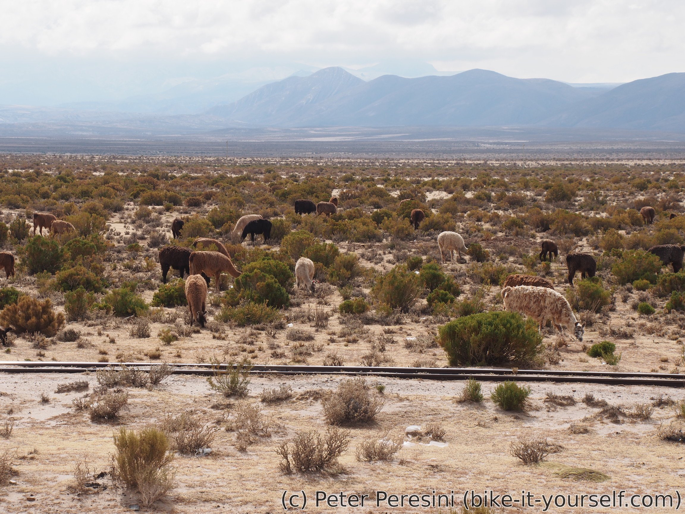
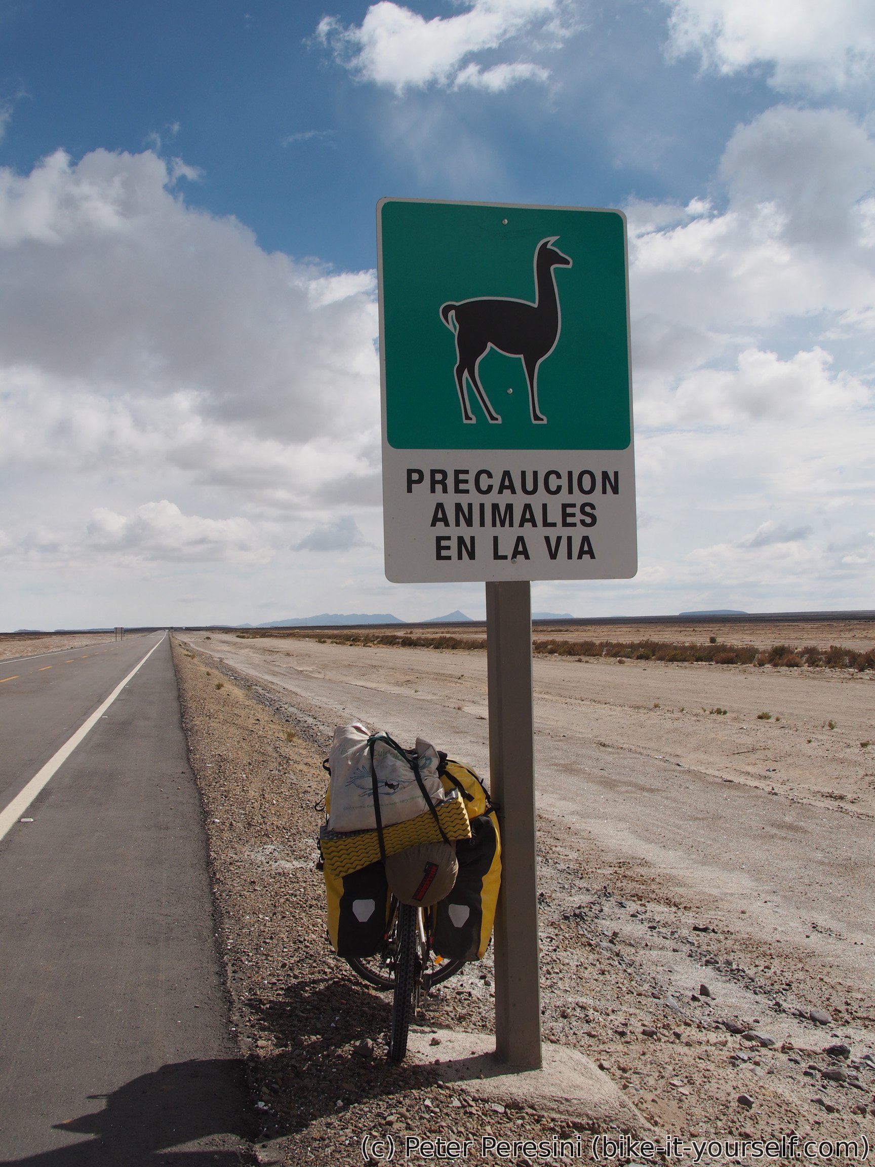
When I finally leave the town I already need to battle some headwind. Fortunately, I am not planning this as a long day so I am pedalling quite lazyly. The sky isn't cooperating that much as well -- there are some clouds which, while not producing any rain, are quite good at spoiling the photo shots. So instead of a sky I point my camera on Alpacas which I am passing by.
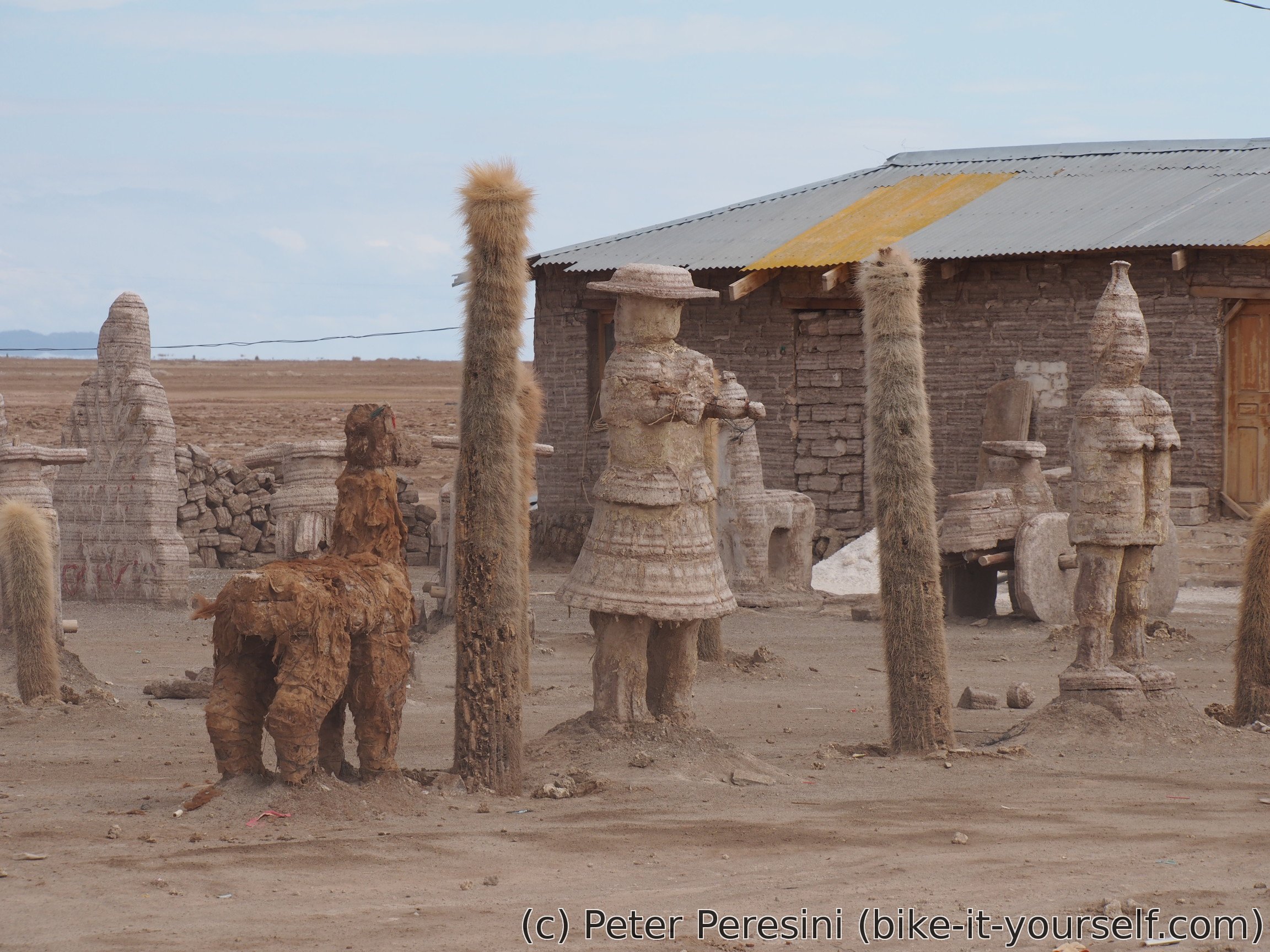
My short ride on a pavement ends by the village of Colchani. Here I am having a decent lunch. There is also a museum of Llamas and salt but I am skipping it. Instead, I head directly onto the salar.


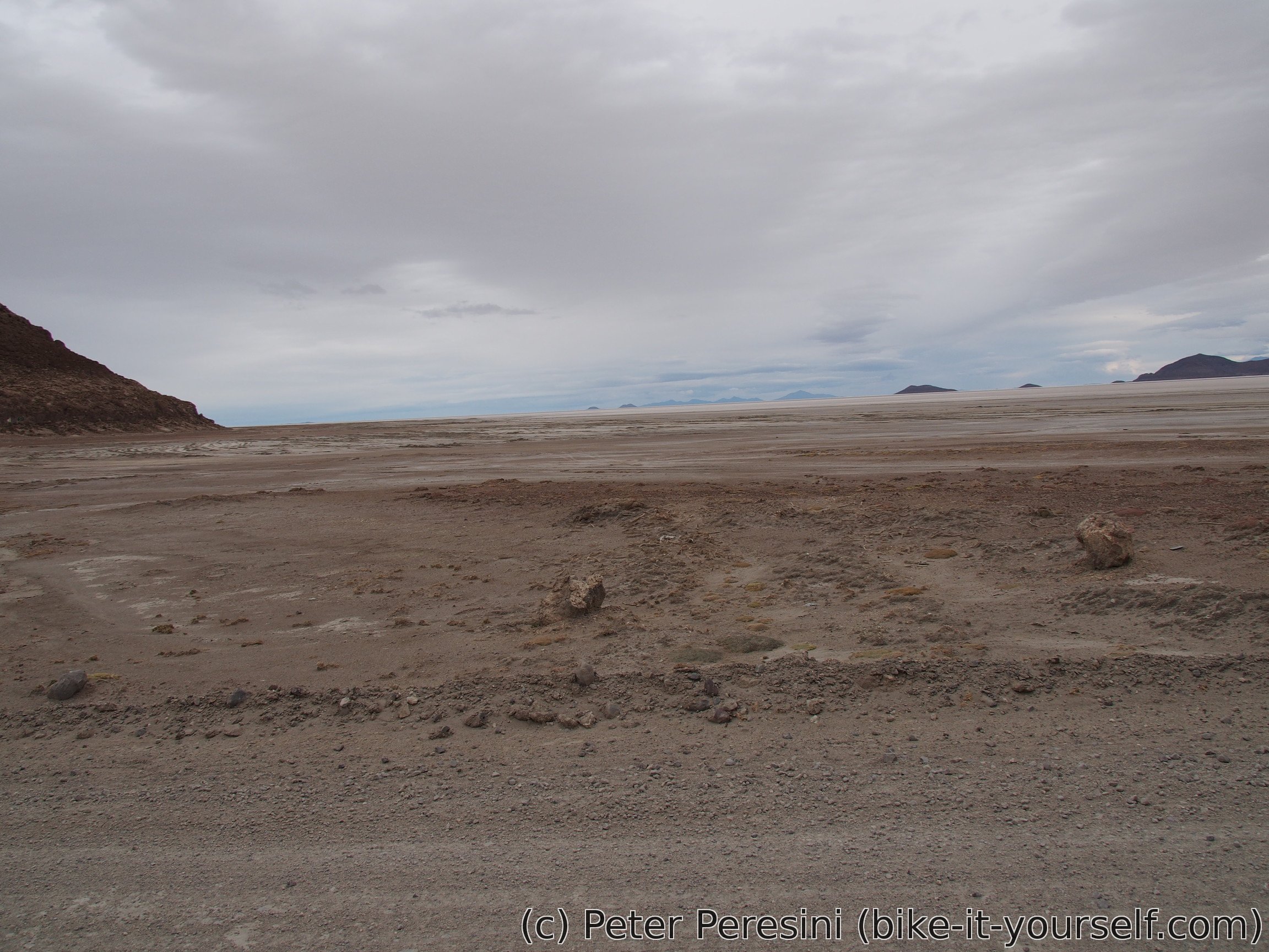
The transition from earth to salt is quite sudden although it doesn't seem so -- the edge of a salar is quite "dirty" so it is hard to tell if you are riding salt or mud. The salt at the edge also contains quite a lot of potholes. But after a while all of this disappears and I can enjoy just a sparkling white in front of me.

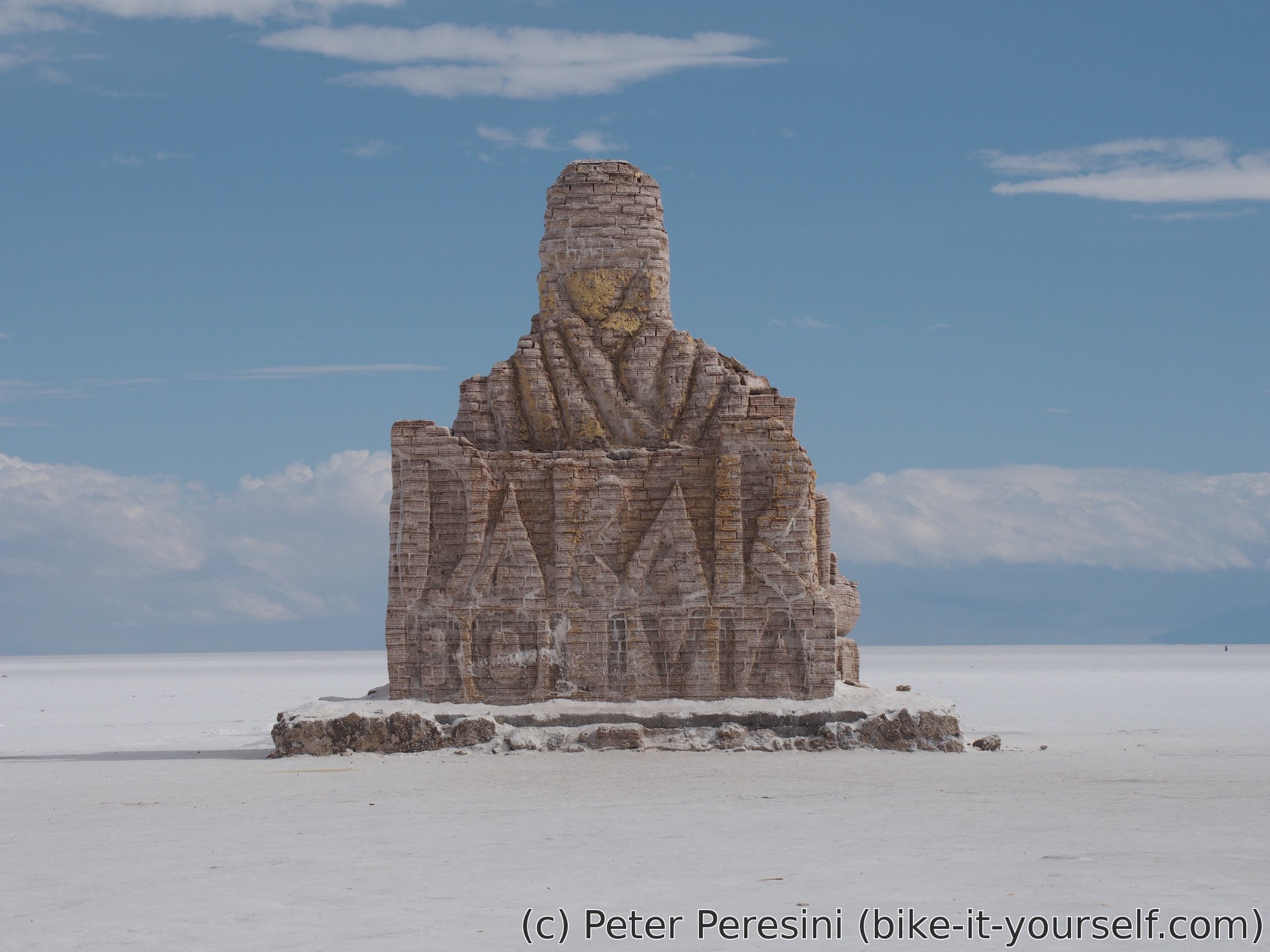
I finish the day quite early when I reach a super-touristy place called "Hotel de sal". And it really is built of salt. There is even a Dakar rallye monument (of course built of salt). Inside Hotel de sal I am finding a cycling couple from Korea. They are heading south and already crossed the salar. As we sit and chat, we are a good object for getting rid of tourist leftovers such as half-used Cola bottles or bananas. Which is to say we have a good time.
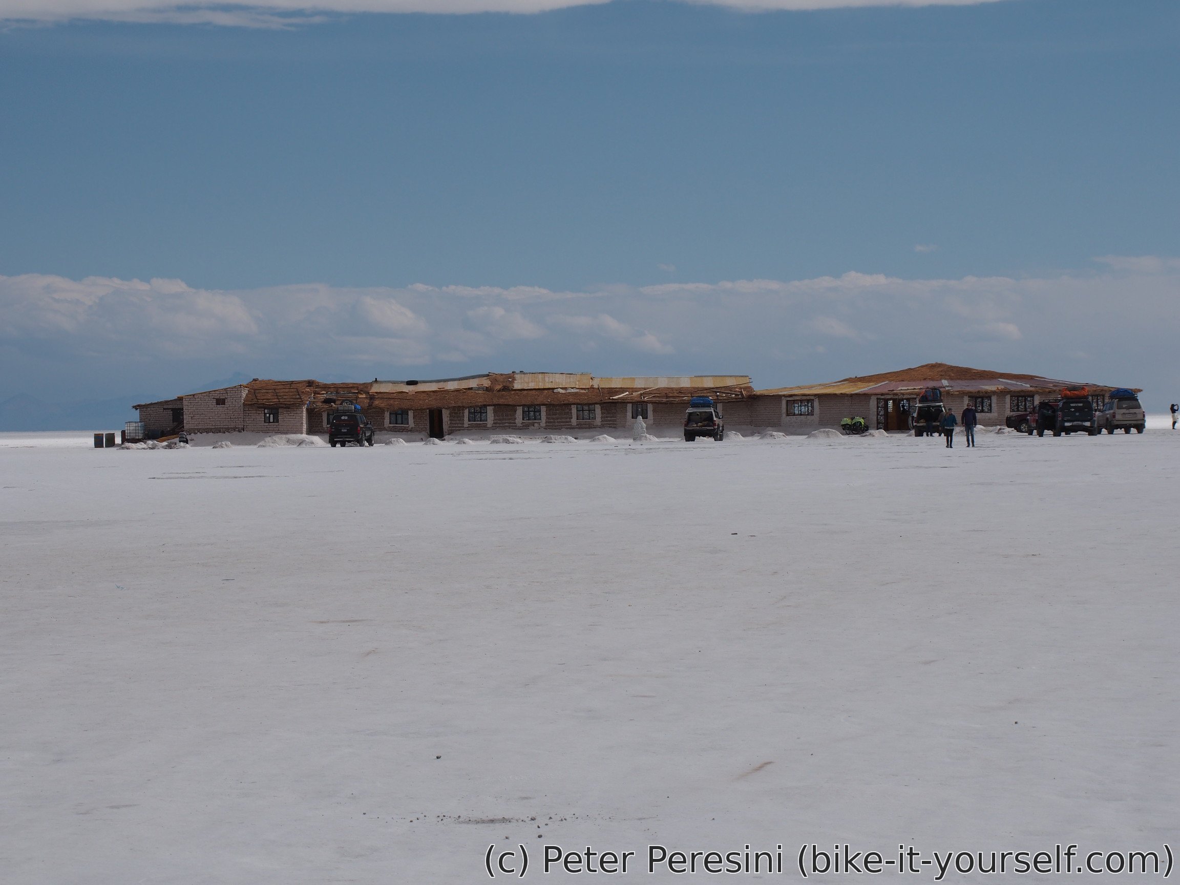

The Korean couple also somehow managed to convince the owner of the place that they can sleep (for a little provision) here on the floor. Of course, we could get a real bed here but the price is so incredibly expensive I wonder if they ever have somebody staying over. In any case, I just side by and get a roof to sleep under. There is only one problem -- the owner is quite scrooge when it comes to a toilet -- he wants 10 Bolivianos for each use. Well, I guess I will have some quick nightly walks outside.
May 25
The day starts with a nice sky. And even with a bit of a tailwind so I am in a really good mood when I am finally saying goodbye to the Korean couple. My today's target is another touristy part of the salar -- Isla Incahuasi -- which I should reach in about 60 kilometers.

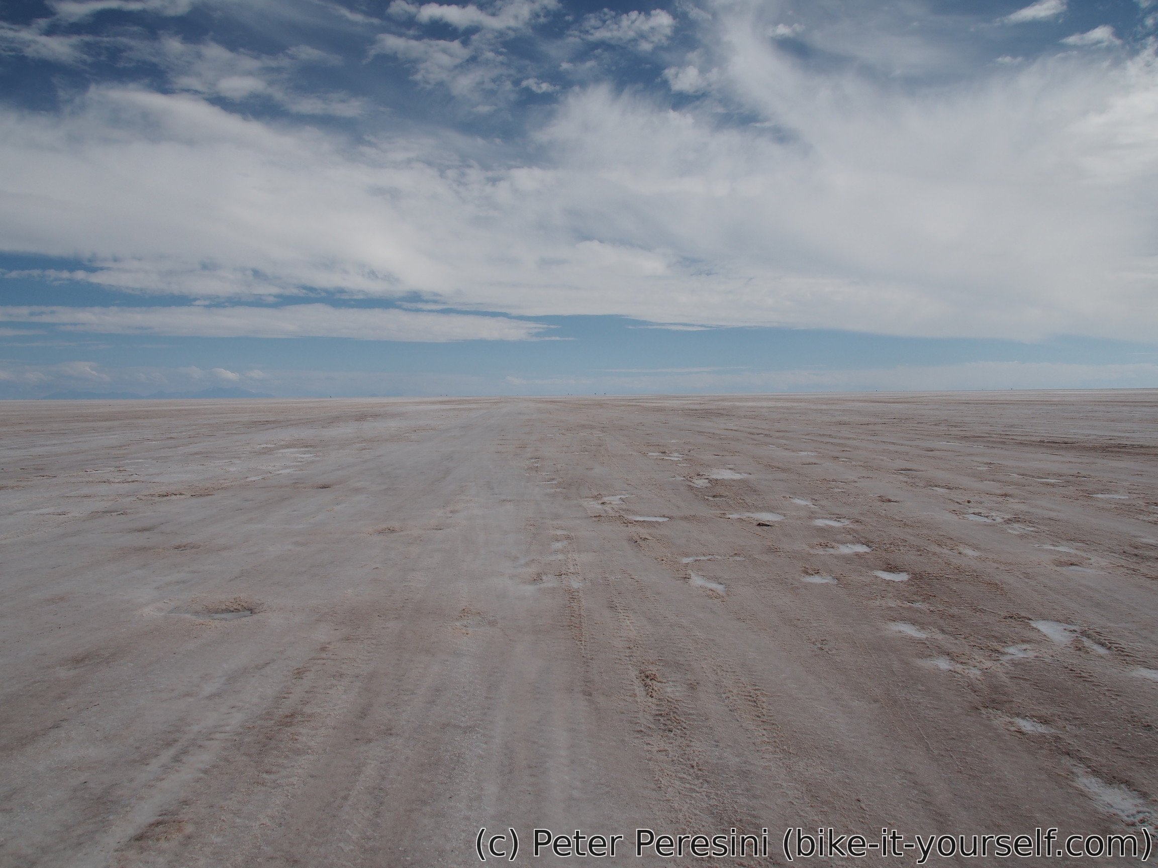
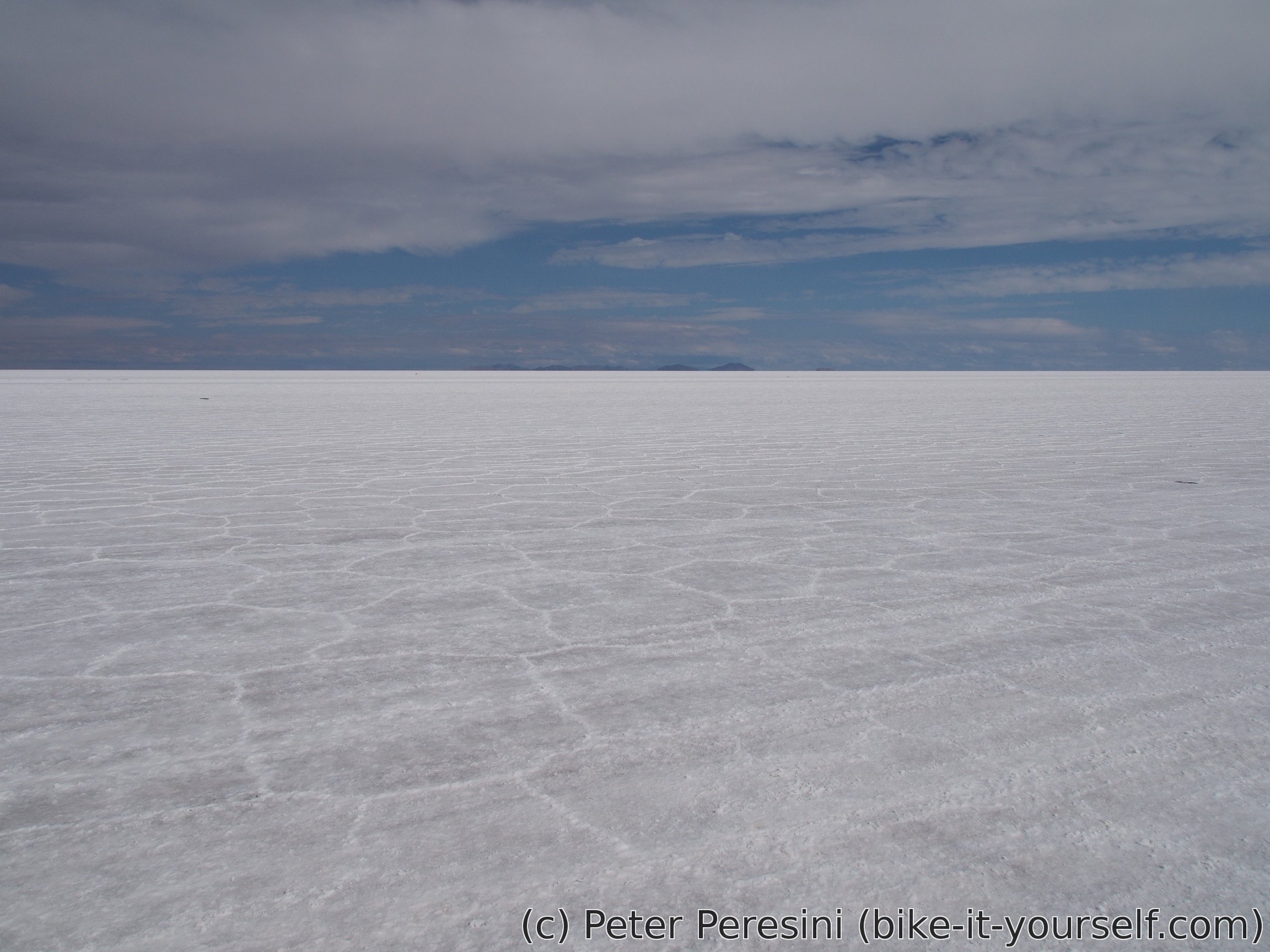
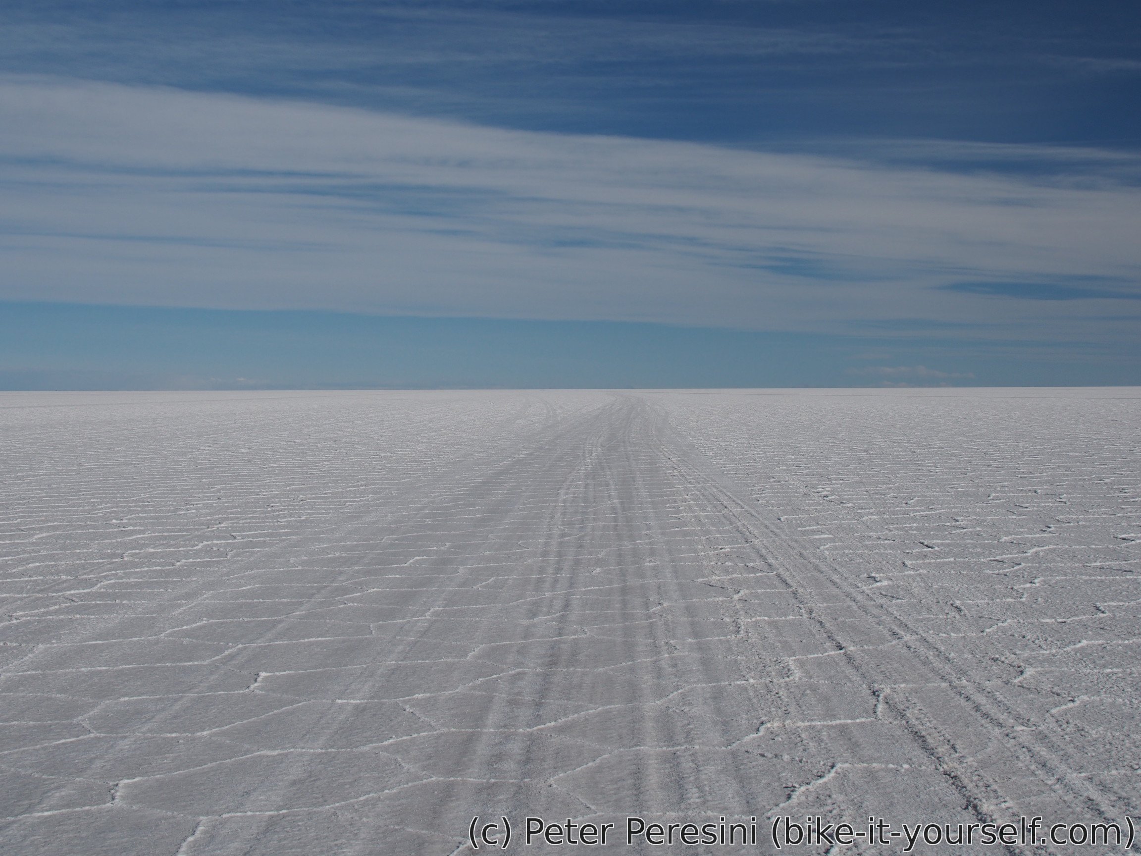
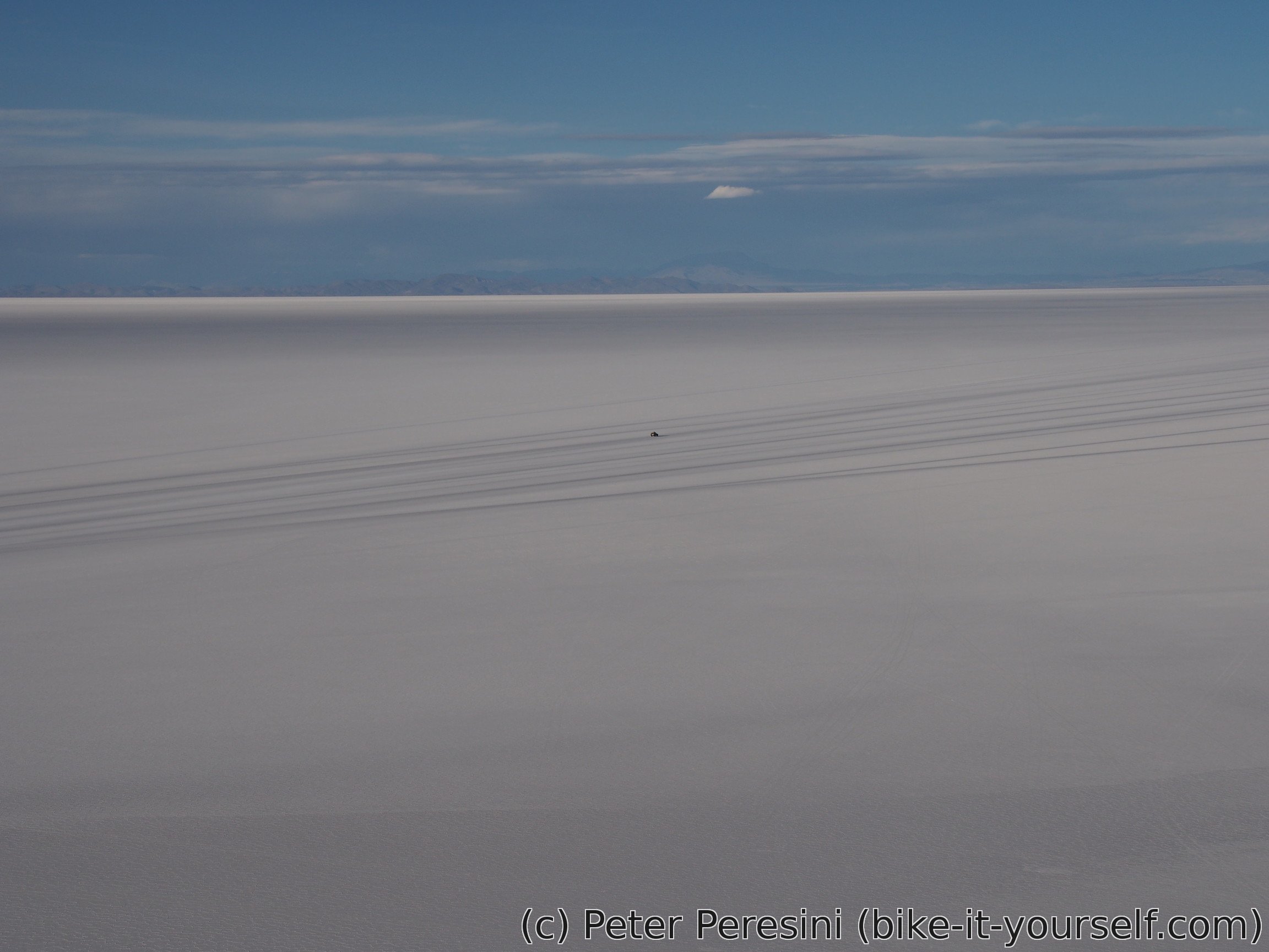
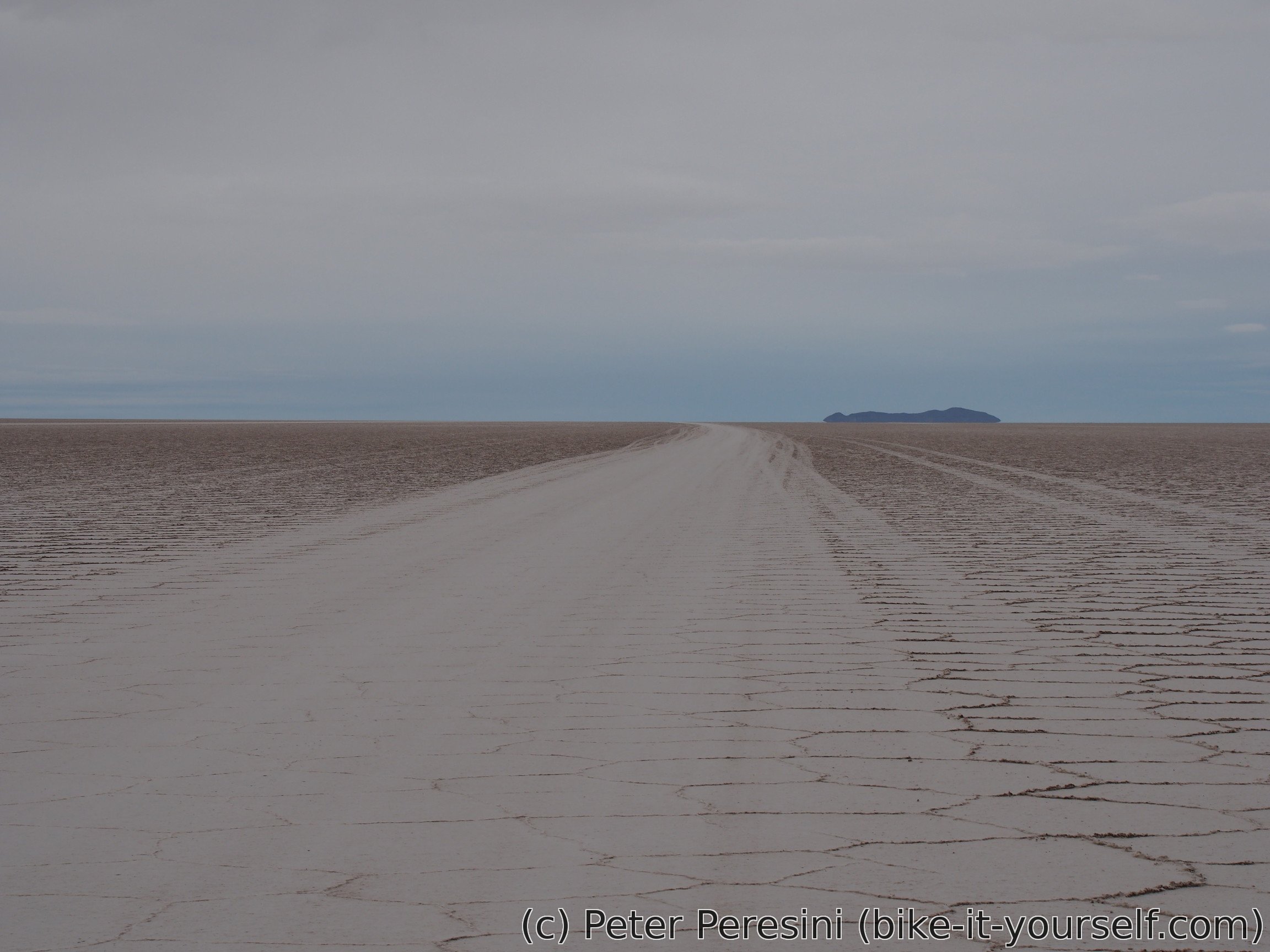
So I start riding an endless salt flat. It is exciting and boring at the same time. Exciting because I am riding on top of a big salt lake but boring because the views aren't much changing. In fact, it is almost all the day the same -- a while plane around me until it meets the horizon. Basically, as if I was on a sea except that it is hard and white. Sometimes I can see small protruding hills in the distance and given how they appear and disappear I have a nagging suspicion that this salar is so big that you can actually "see" the curvature of the earth.


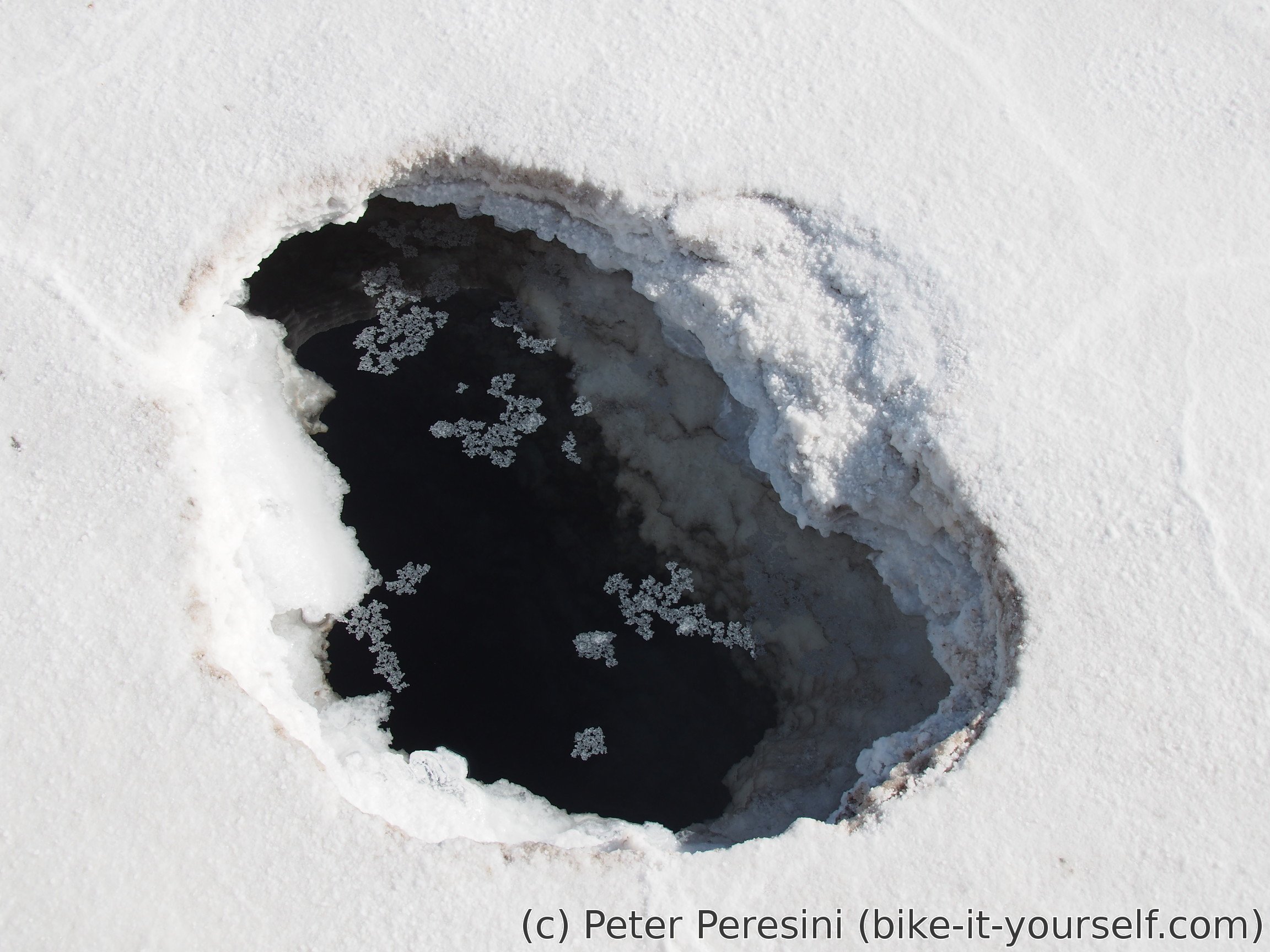
To my big surprise, Salar de Uyuni isn't actually completely dried. In fact, from time to time I can spot a hole in the salar. And it wouldn't do for my wheels to find it before my eyes -- after inspecting a few of them, it looks like the salar is deep at least a meter around here and there is lots of water under the salt (at least around the holes).


When I finally reach Isla Incahuasi, it dawns on me why the heck it is called an island. It pretty sure is an island on this big "lake". And it definitely is an island of "civilization" as there are tons of tourists here.
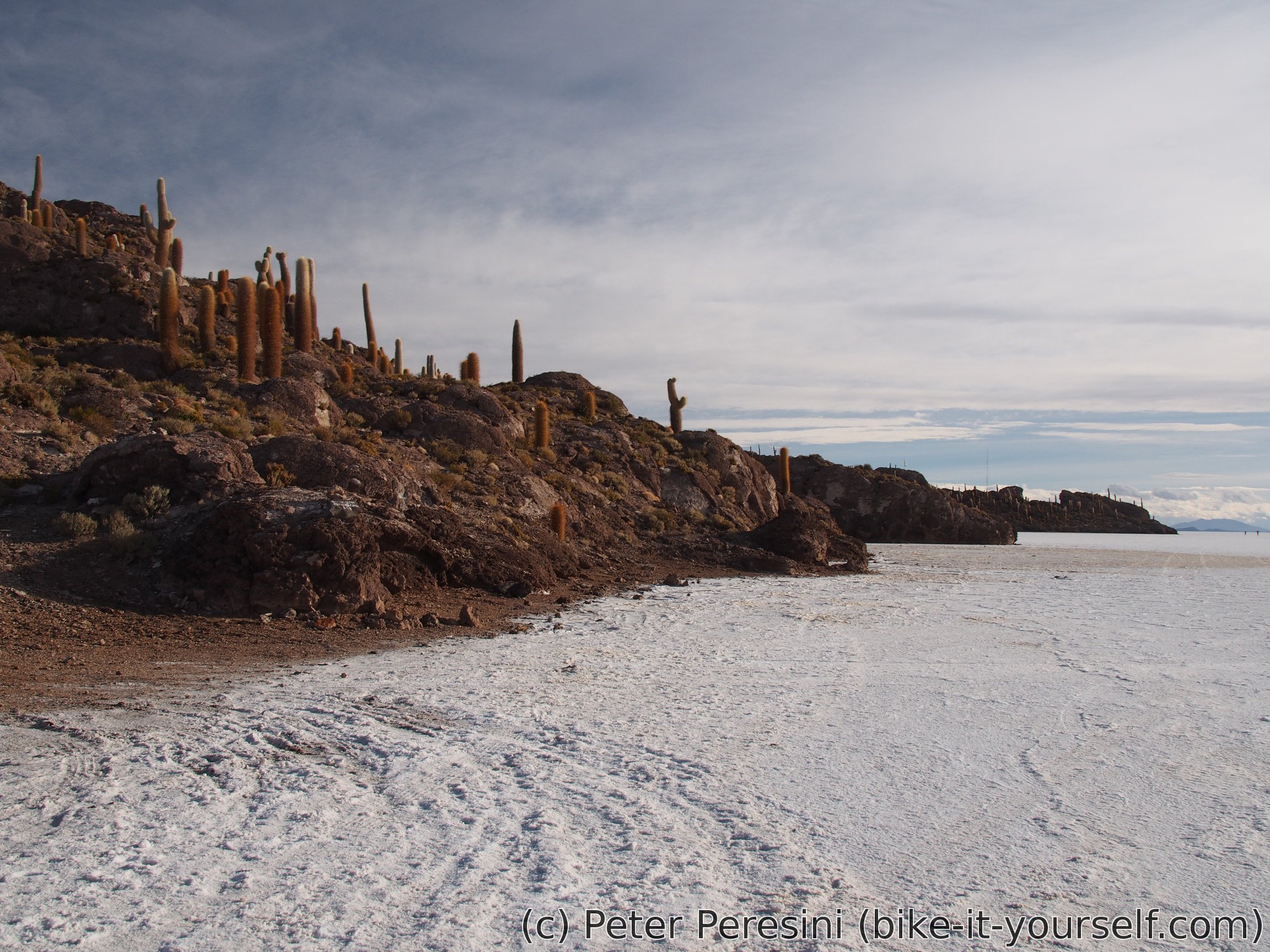
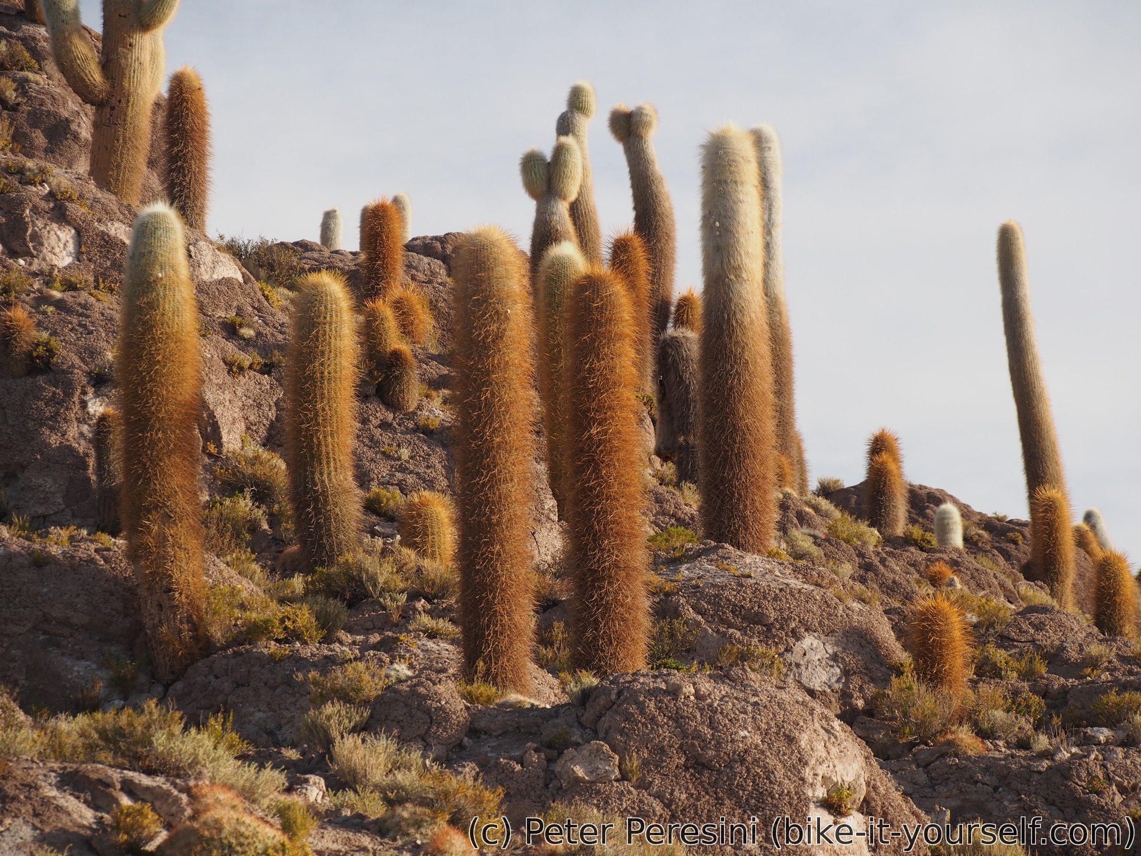
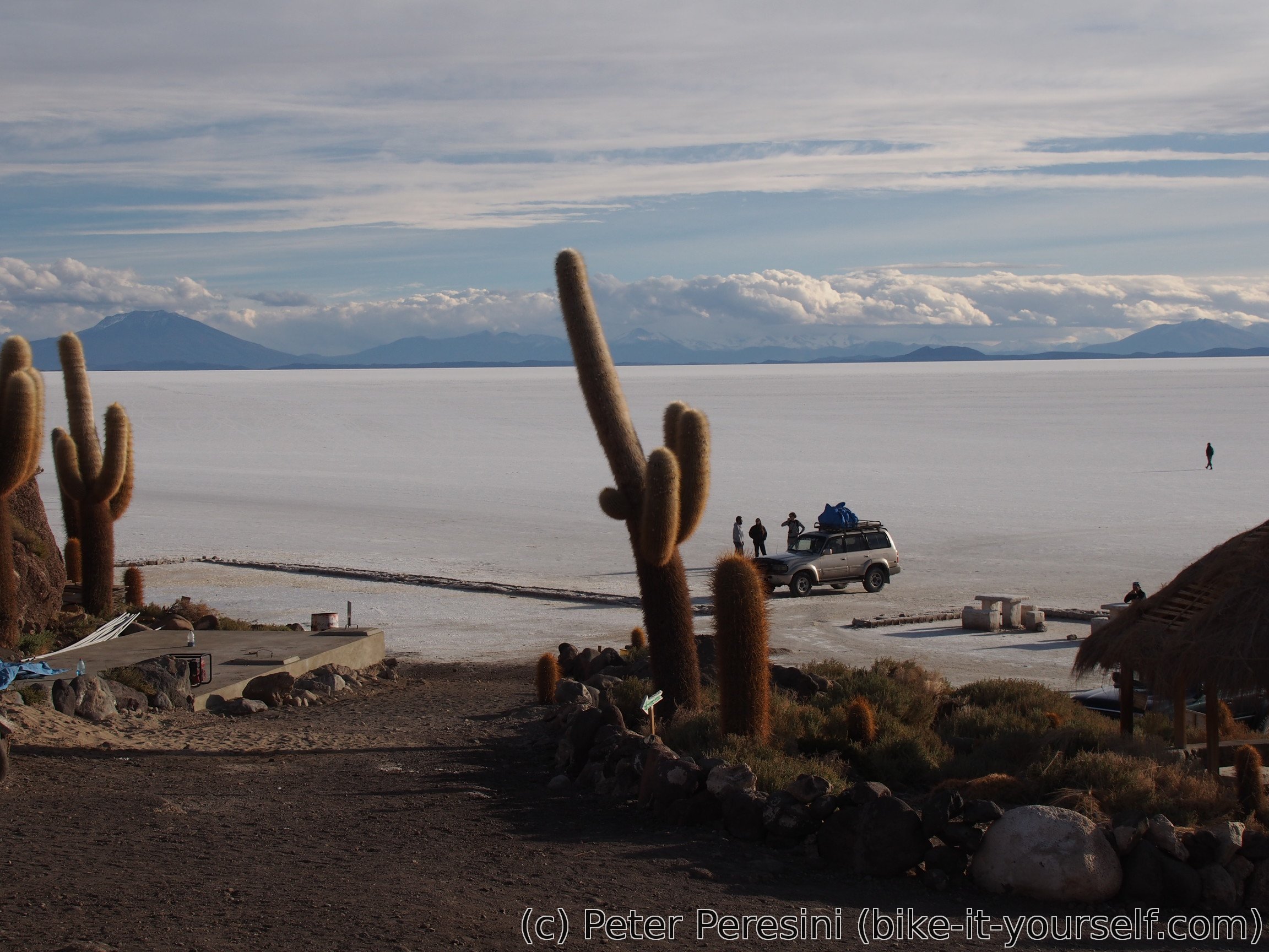
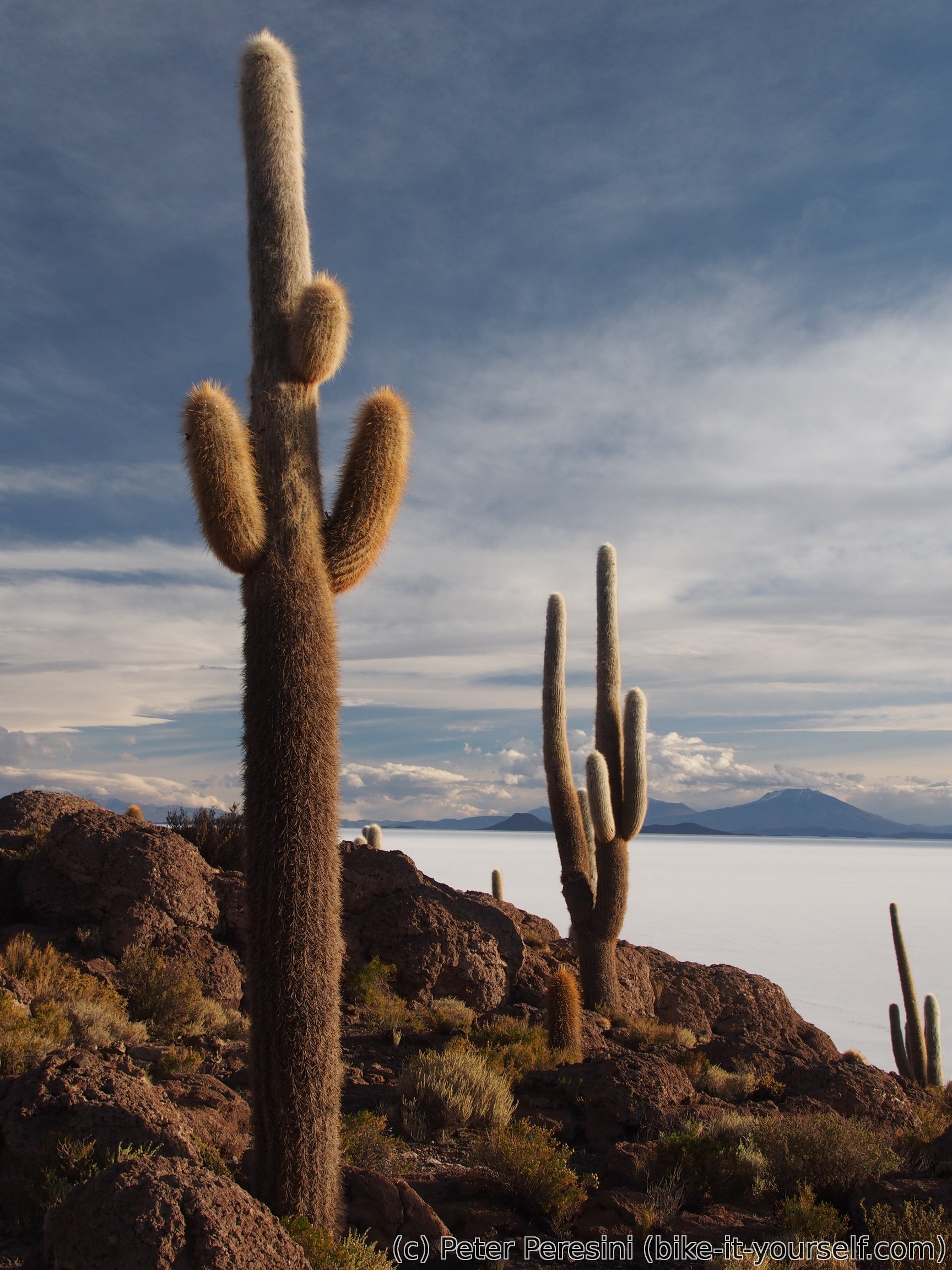
The main attraction of Isla Incahuasi is a short trail which leads through the island and around damn big cactuses where are growing here. There is a nice view from the top as well -- you just start to appreciate the dimensions of the salar even more.

For the night I am sleeping on the island in a "refugio". In reality, it is a floor of a building which is presumably used for seminars or something like that because there are lots of chairs there. But it is nice and warm and that is everything that I need.
May 26
The morning comes with an usual herd of tourists. And as my weather forecast forecasted, the sky isn't in the best condition -- there are lots of clouds hanging over me. Which doesn't make me the most happy person of the world because my plan for today is do 80 kilometers to Llica and it might be damn hard when the wind picks up.

To have enough energy for the day I am having a big breakfast at a restaurant. There I am meeting another cyclist -- this time French -- from whom I am getting some useful information. The most important piece of info is that Salar de Coipasa (which is on my future plan) is rideable (a cyclist I met at Lagunas route claimed that big parts are underwater and that he needed to push about 10 kilometers with his relatively light setup). Another piece of information is that the Lagunas route now features about a half a meter of snow -- given the timing I was quite lucky to ride it when I did.
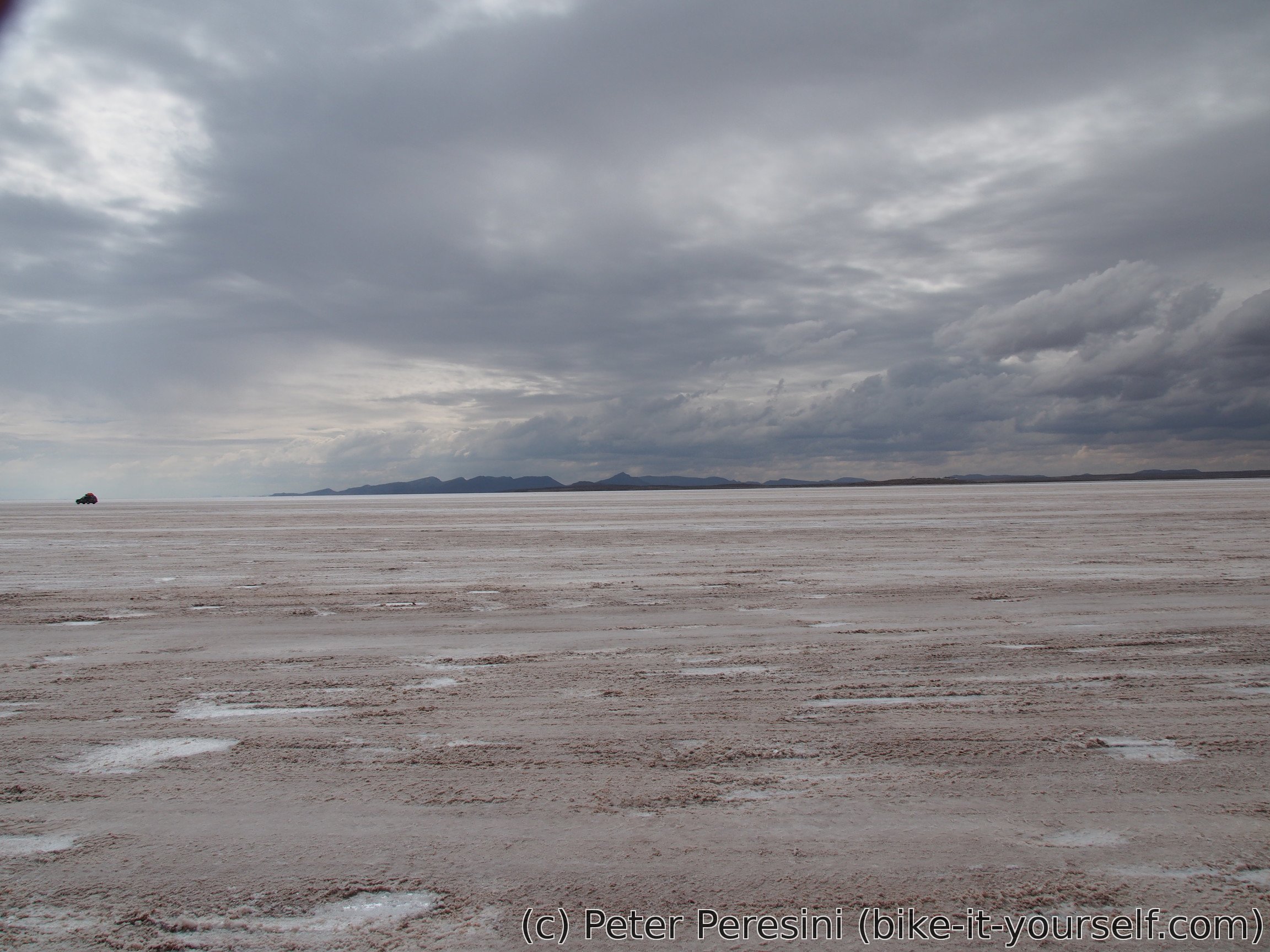
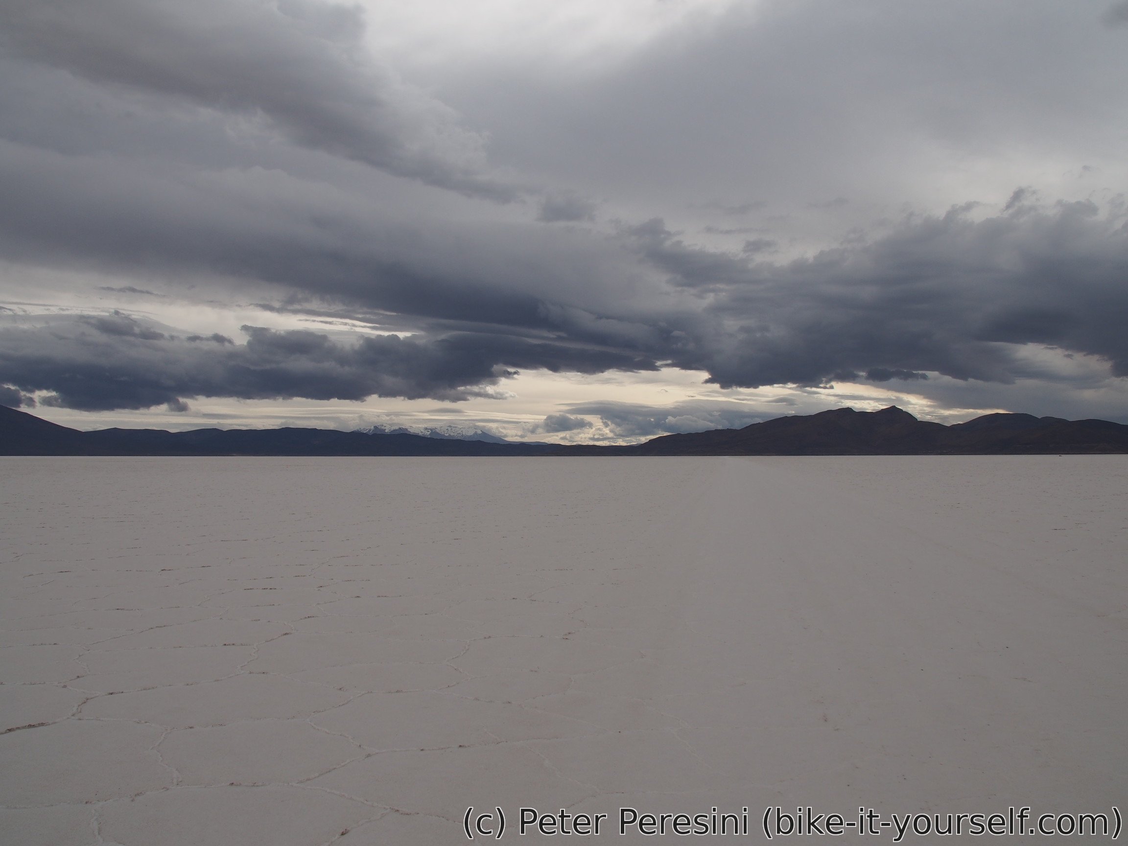
Unlike yesterday which was endless white & blue, today's looks are much more apocalyptic. In fact, if you want to imagine a world after a nuclear war or get a feeling of Antarctic explorers, I would recommend going to Salar de Uyuni in a bad weather. It definitely looks like a desolate place.


Fortunately for me, at least the wind is cooperating. Until the afternoon I have no wind or even a bit of tailwind. This changes only for the last 15 kilometers where I now struggle against a headwind and push hard because the sky doesn't look too inviting for the evening. In the end I manage to get to the village of Llica before it gets dark. There I am searching a bit for a hospedaje. I scout shops for signs of some decent supplies and enjoy a rather lively atmosphere of the town. A standard chicken dinner later and I am ready for the bed.


Route
Download simplified GPX of a route here
Stats by activity:
| Activity | Distance (km) |
Ascent (km) |
Pedal rotations (thousands) |
|---|---|---|---|
| bike | 177 | 0.1 | 33 |
| Date | Distance (km) |
Ascent (km) |
Avg. temp (moving, C) |
|---|---|---|---|
| May 24, 2017 | 34.4 | 0.03 | 11.9 |
| May 25, 2017 | 62.1 | 0.01 | 15.2 |
| May 26, 2017 | 80.6 | 0.05 | 13.3 |
Elevation data
The next table is only for cycling activity.
| Grade(%) | Ascent (km) | Descent(km) |
|---|---|---|
| < 2 | 171.2 | |
| < 4 | 2.1 | 1.6 |
| < 6 | 0.3 | 0.1 |
| < 8 | 0.1 | 0.1 |
| < 10 | 0.1 | 0.0 |
| ≥ 10 | 0.0 | 0.0 |