
Pucón to Icalma
 Share:


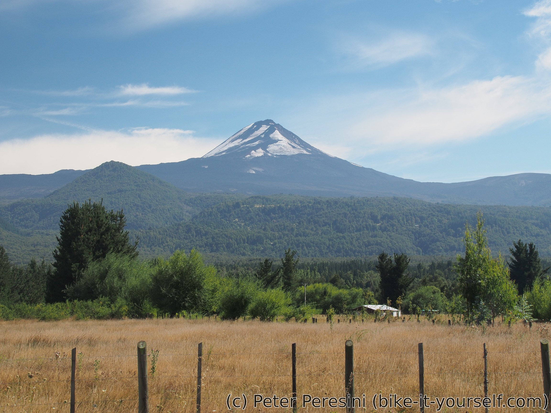
Pucón is the adventure center of the lakes region. One of the main attractions here is climbing Volcán Villarica. Which is why I definitely did not want to miss this small city.
February 23
I tried to plan my visit of volcano today but unfortunately they did not have any free space in the adventure company I visited. They tried to also convince me to do rafting but my rafting experience from Futaleufú was enough to tell me that rafting just isn't for me.
But I am willing to give rivers another chance. This time with a "hydrospeed". It is basically rafting without a raft -- you just get a floating mat and go the same rapids as rafting (of course, there is a safety limit and there are rapids you cannot do with hydrospeed).
So in the afternoon I am standing at a river bank in a neoprene clothing and just cannot wait until we go. As soon as we start I am liking this activity. It is much more "water-contact" than rafting, you have much more control over what is happening and you also have much more responsibility to follow the guide. To sum up, it is definitely much more fun than rafting. One hour later after three big rapids and lots of small ones I am sad that the activity is ending. I could do this for two or three more hours. (When I tell this to the guide, he wants to kill me of course.)

February 24
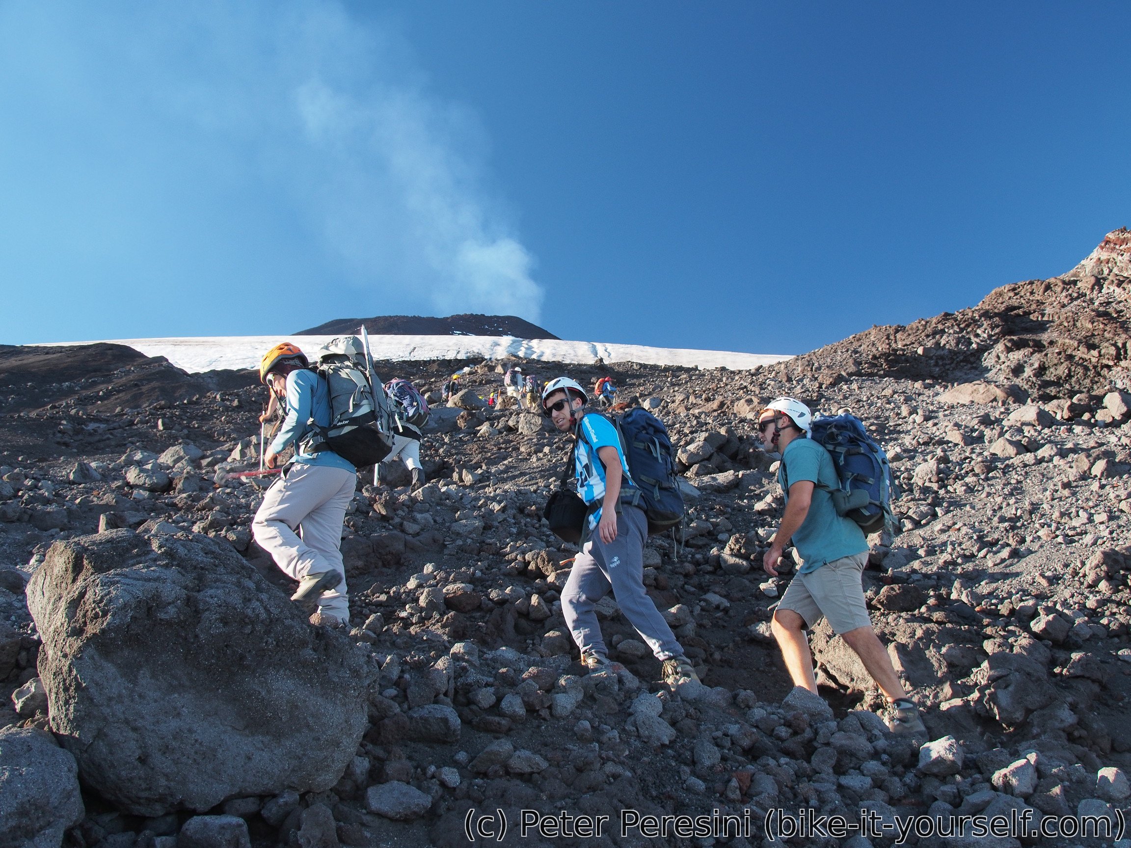
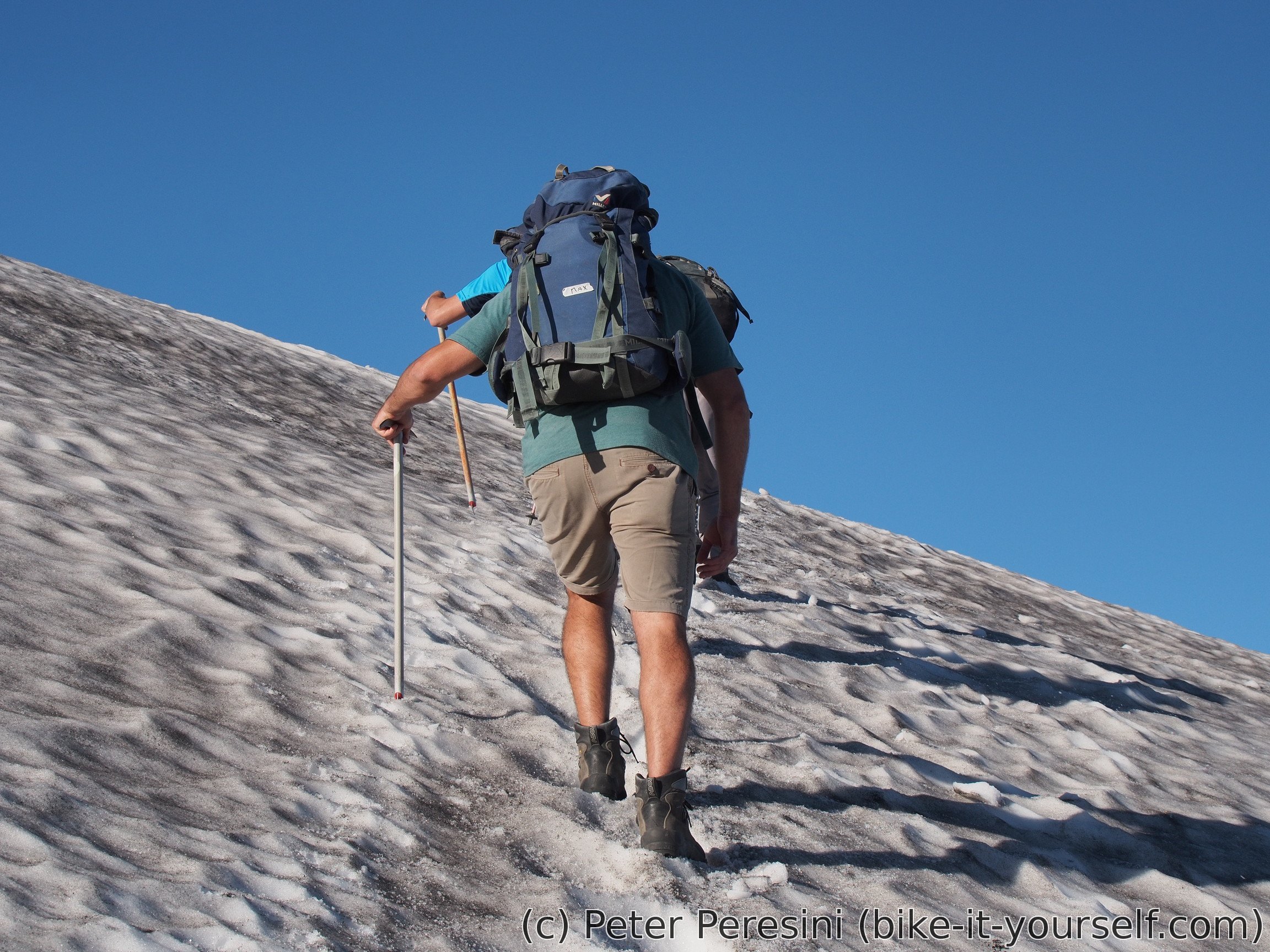
Today is the day of the volcano climb. While I would like to do this on my own, it is forbidden to go without a guide. On the other hand the companies offering this tour will give you everything you need -- from good shoes, crampons, ice pick and sturdy overall to the gas mask you might need near the top.
I am waking up very early so that I can breakfast and still get to the agency at 6:20. There is the last check of equipment fit and here we go with a car to the starting point. I am actually quite lucky that our tour is today very small -- just three of us and a guide.
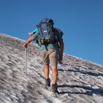
The starting point of the climb is at a bottom of ski lift. Or, actually at the top -- there is an option of taking the lift and our group decides to take it (I wasn't very thrilled but what is the point of them going with a lift and then waiting for me while I go up 300 meters). From there the real climb starts. Which isn't particularly hard. It is more like a hike. And I must say we are going slow -- when I hike with my friends I am usually the slowest person but here I am actually frequently waiting behind the people.
The hike isn't even very technical. Once we reach the part with a snow/glacier, we don't even use crampons. We just take ice pick (for safety in case you slide) and walk in steps which are created by people going everyday here.
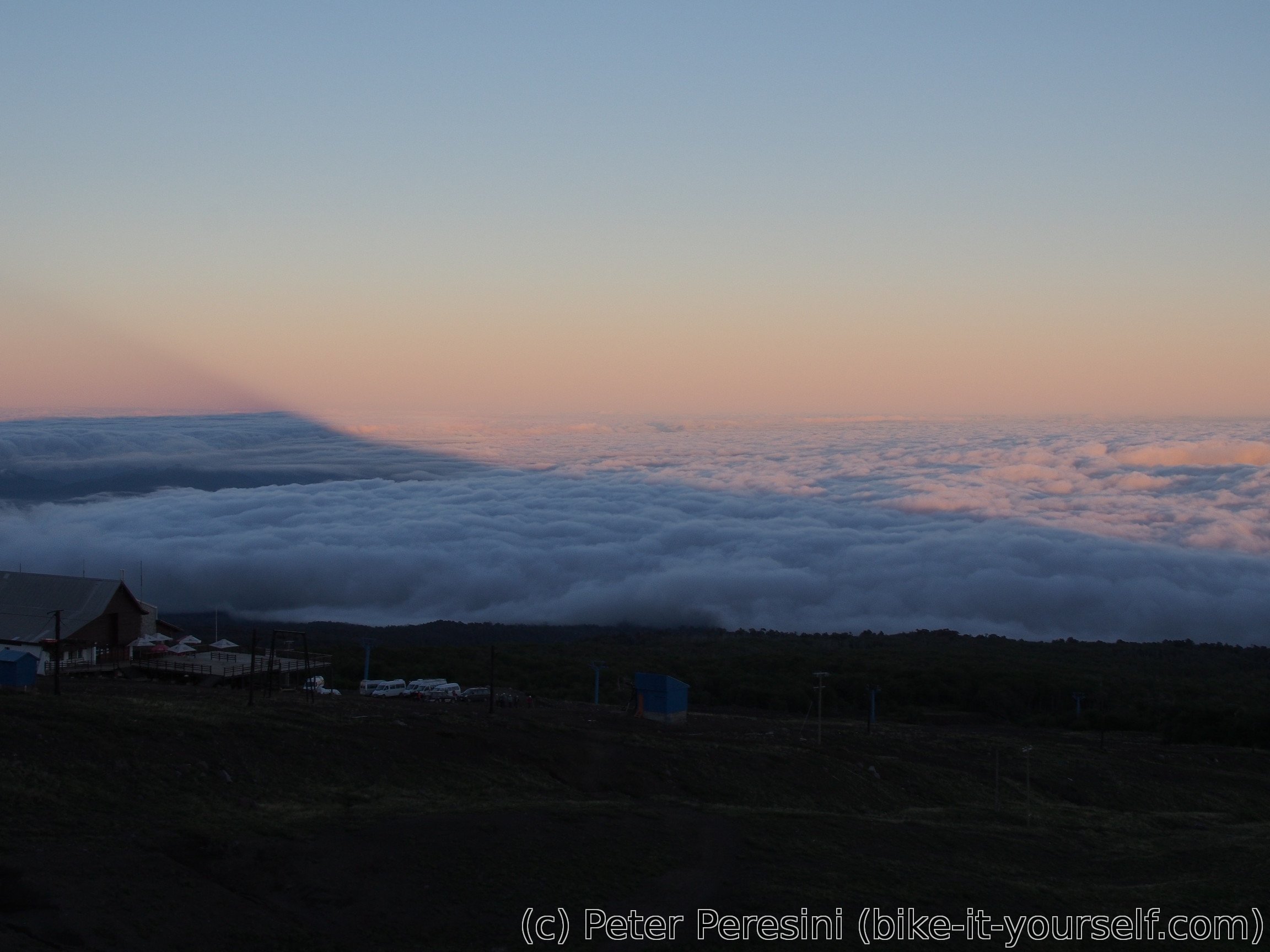
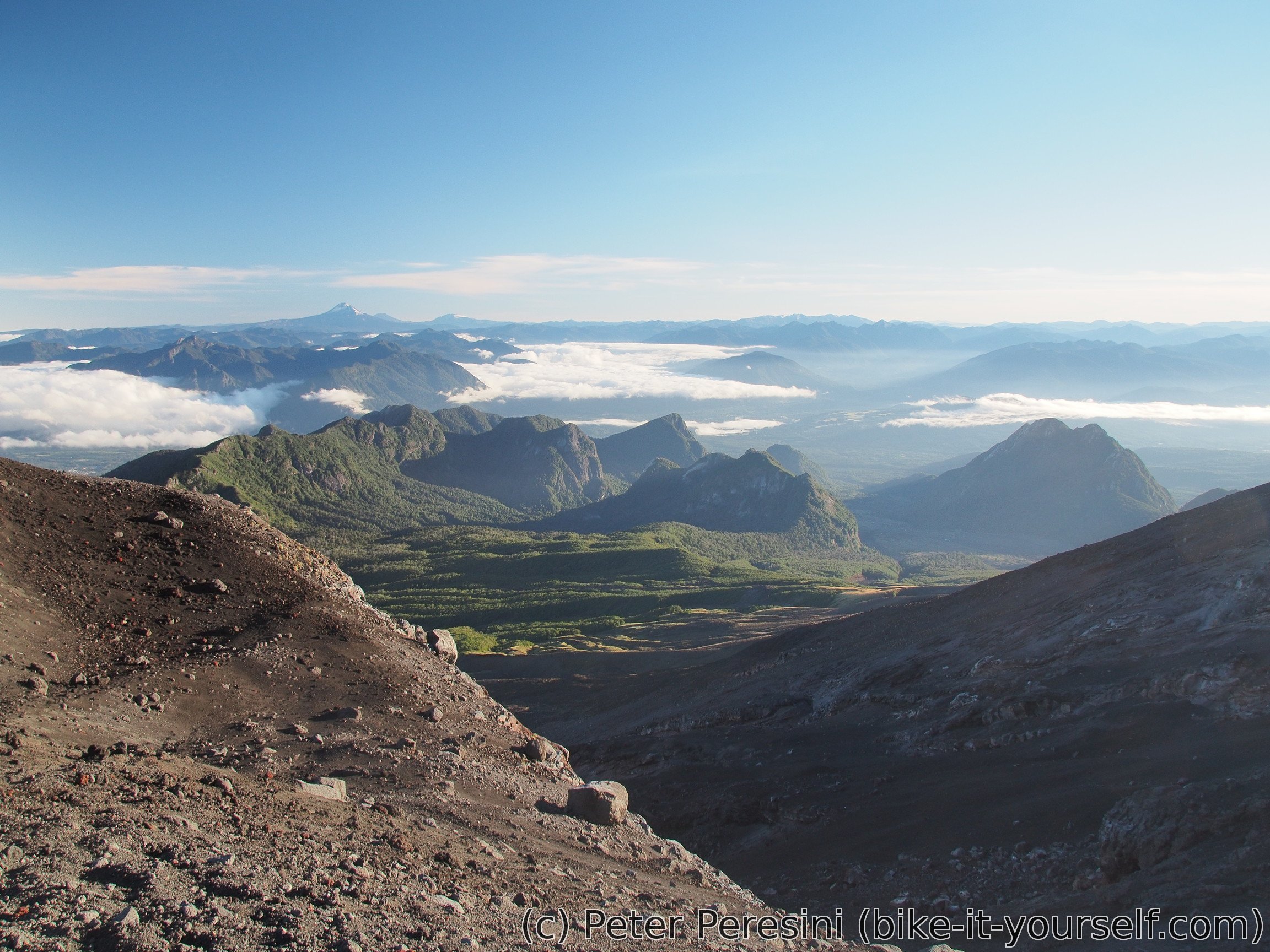
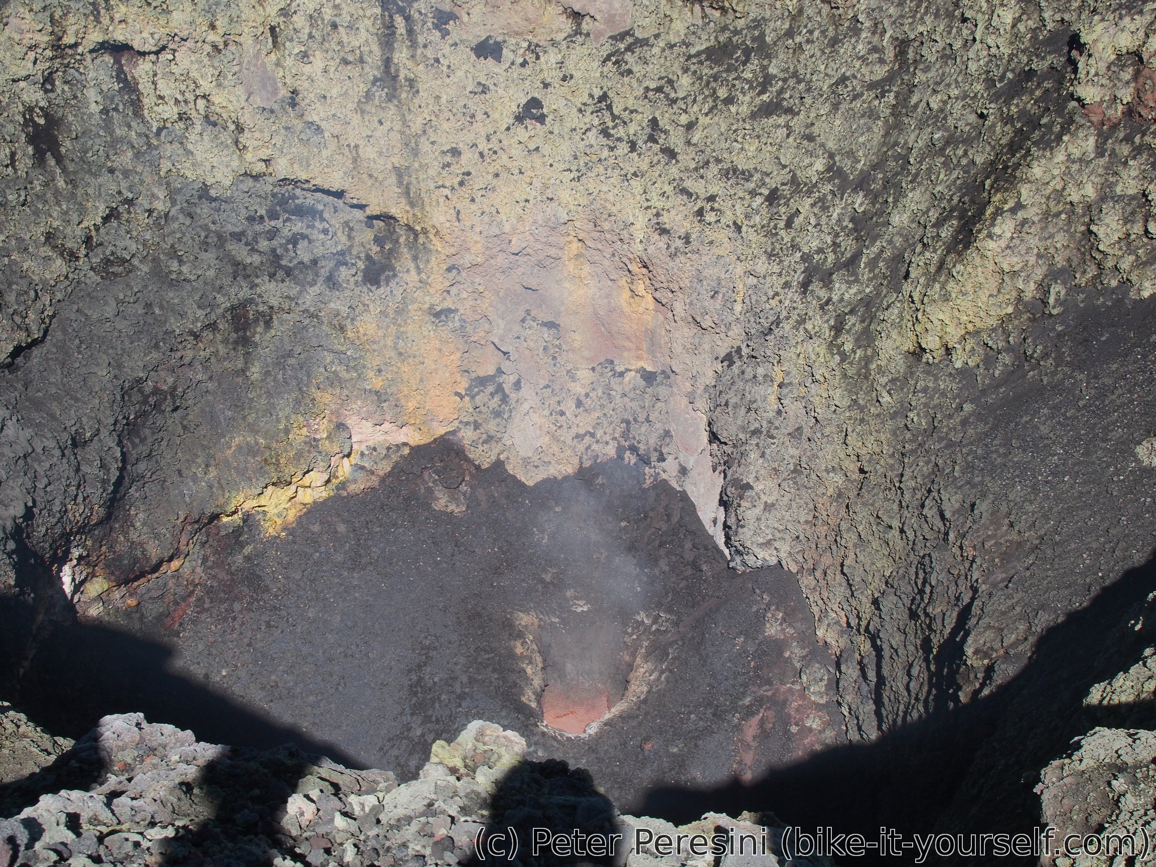
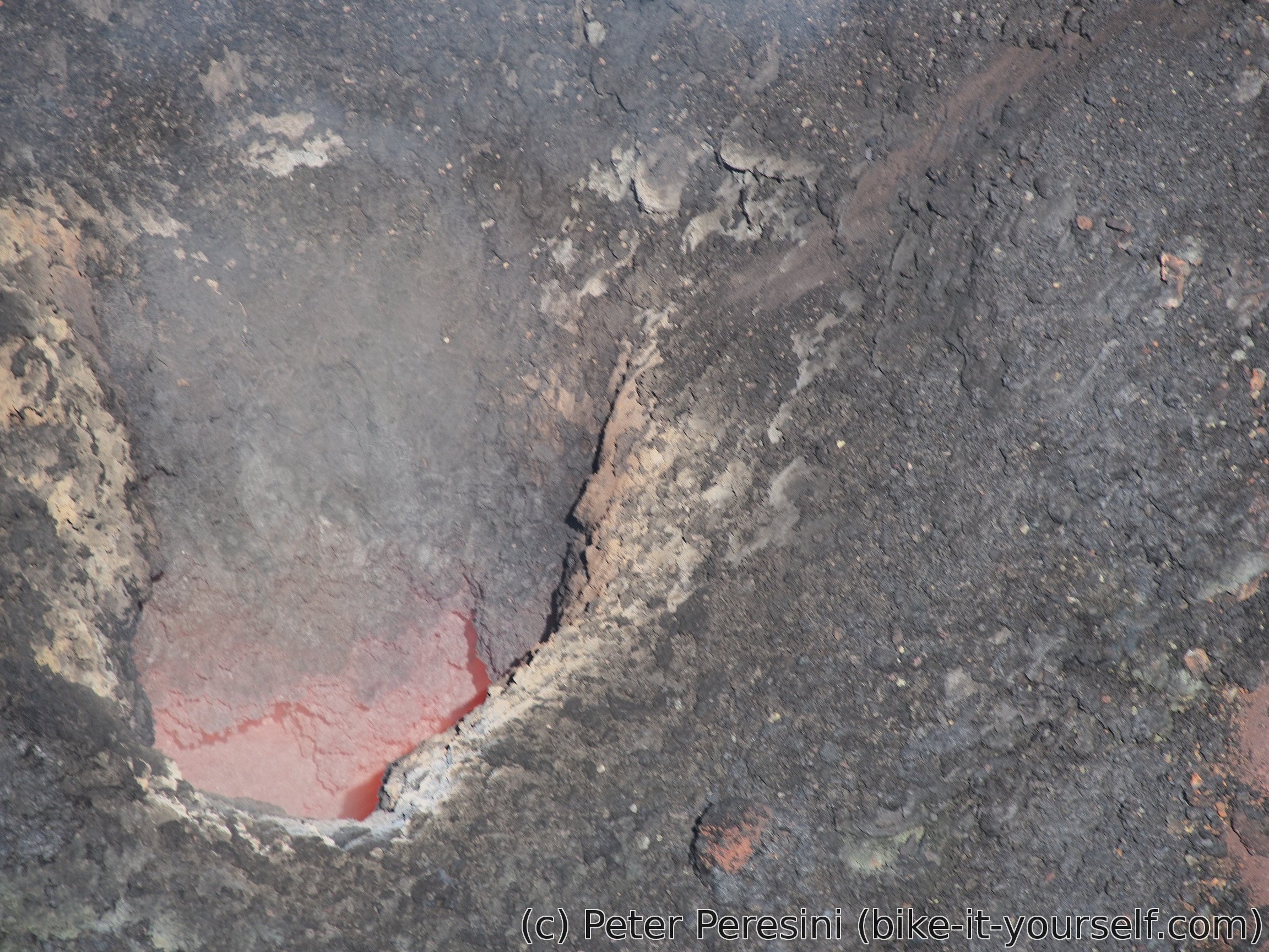
The top of the volcano provides very nice views around. Unfortunately, you cannot see all sides -- two years ago there was a rockslide on a part of the caldera and therefore these days it is not allowed to walk around the top (oh, these stupid safety rules).
But of course, the best view is inside. I am not fortunate enough to see lava itself but I can see the glow from a big hole in the bottom of the caldera. And the volcano is quite audibly "puffing". Unfortunately, the time alloted to stay at the top passes very quickly and we need to go down.

There is a definite advantage of having a guide for the way down. This is because we are not going to walk the same way down. No, there is a much more fun alternative which is simply sliding down the glacier. So we put on the sturdy overalls and here we go sliding down with an ice pick as a brake. It is basically a very fancy toboggan. And it is definitely quite fun. But you need to be careful not to slide too far -- maybe 200 meters down the place we stop there are some crevasses.
Unfortunately, the glacier isn't all the way down. So we need to walk the rest. Which we do using quite steep track. This reminds me of a walking down in a snow expect that instead of a snow I am walking down on volcanic sand.
Unfortunately, one guy from our group starts to have some problem with a knee. So me and an Australian guy join another group on the way down and then wait at a restaurant quite some time before our guide and the unlucky guy finally appear. There is also apparently another girl which slightly twisted her ankle. All in all, I am quite happy not to make some hiking-related injury.

February 25
As usual when I am in a camping, today is a late start day. I am trying to figure out a new best position of things inside my panniers (after sending of two kilos of stuff home I have a bit more space). Plus yesterday's evening was quite noisy as there was some festival in town and the music was just blasting at the whole city. So instead of sleeping I was finishing a book.
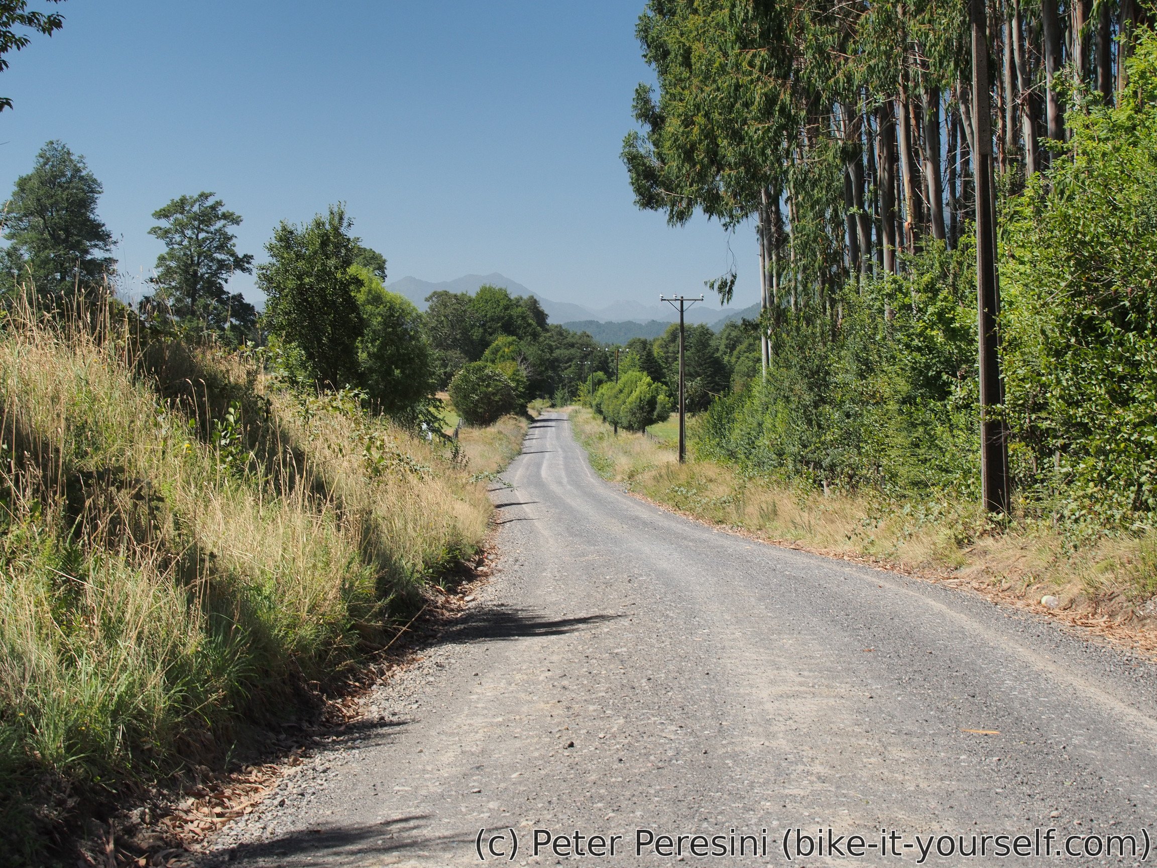
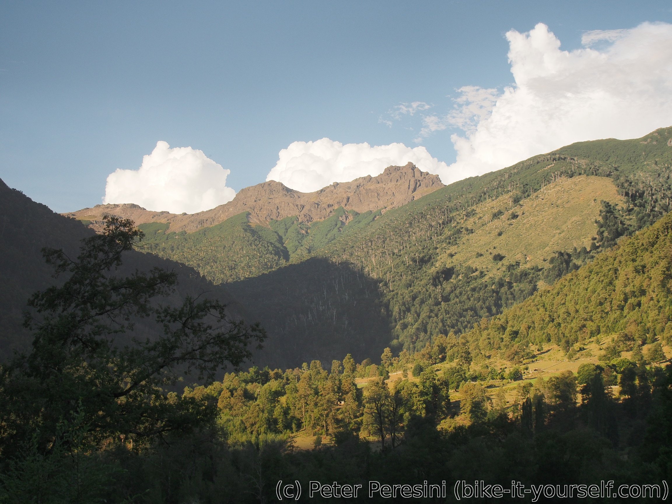
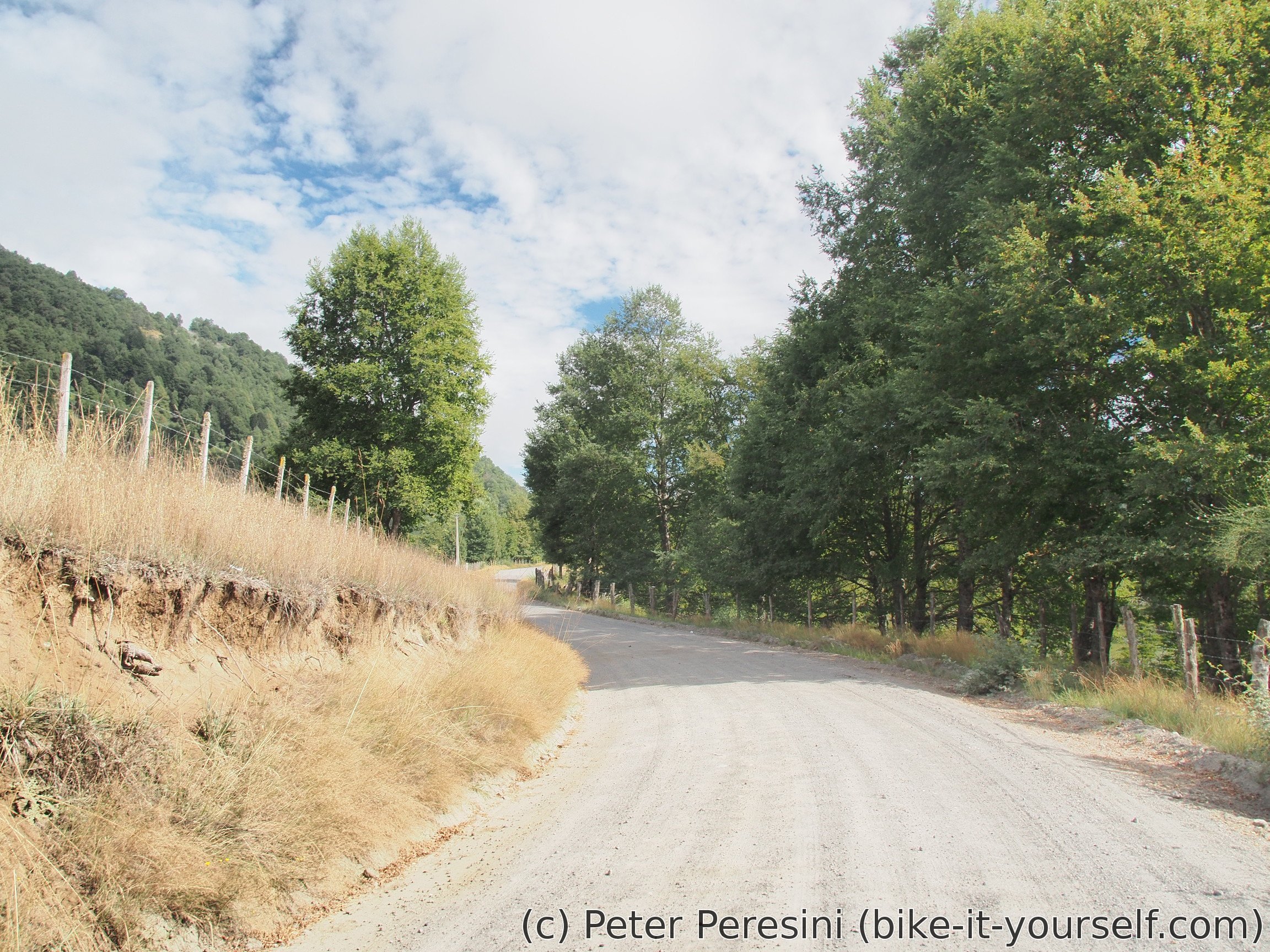
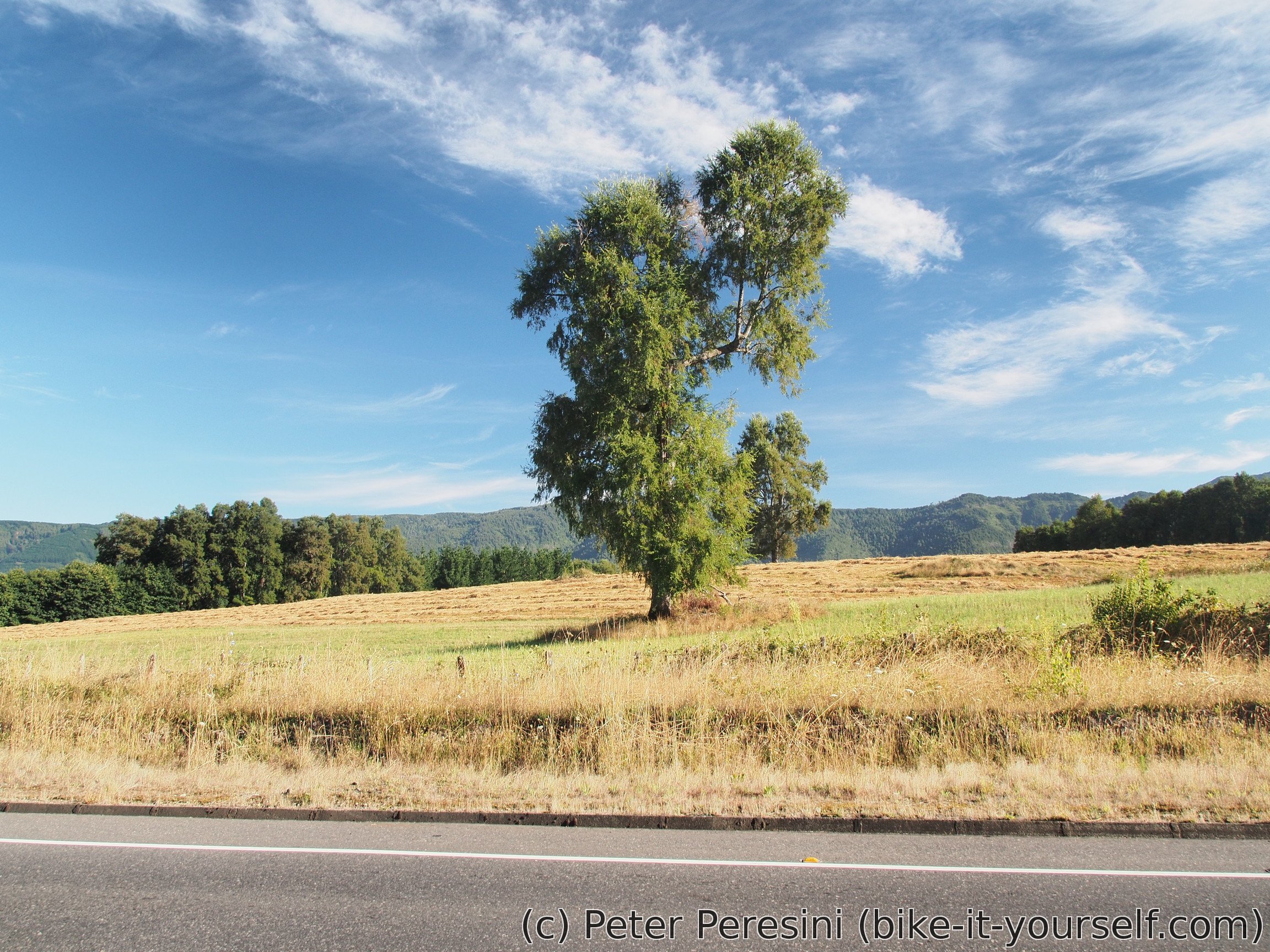
The paved road from Pucón is quite busy. So I take a ripio detour around Rio Trancura. After a first few kilometers which weren't so interesting the scenery changes to cow pastures. It reminds me of a classical European rural areas.
After the road joins back with the pavement I am learning that it isn't so busy here and I enjoy a rather quick ride to Currahue where I am having a lunch.
When my belly is full it is time to get moving again. The rest of today isn't so welcoming though. The road I want to take now climbs uphill (though on average not very steeply) and this afternoon is very hot.
In any case, the road holds surprises. From the map I thought that it will be a ride along a river. Which it is. Except for the fact that the river is tens of meters below the road in a canyon. Later my expectations and reality meet when the canyon slowly disappears and the road just meanders near the river.

For the evening I am choosing a camping spot too close to a civilization. But then, there are villages around and I don't think there would be a better spot for kilometers. On the plus side, I do have an access to the river which means quick wash.
February 26
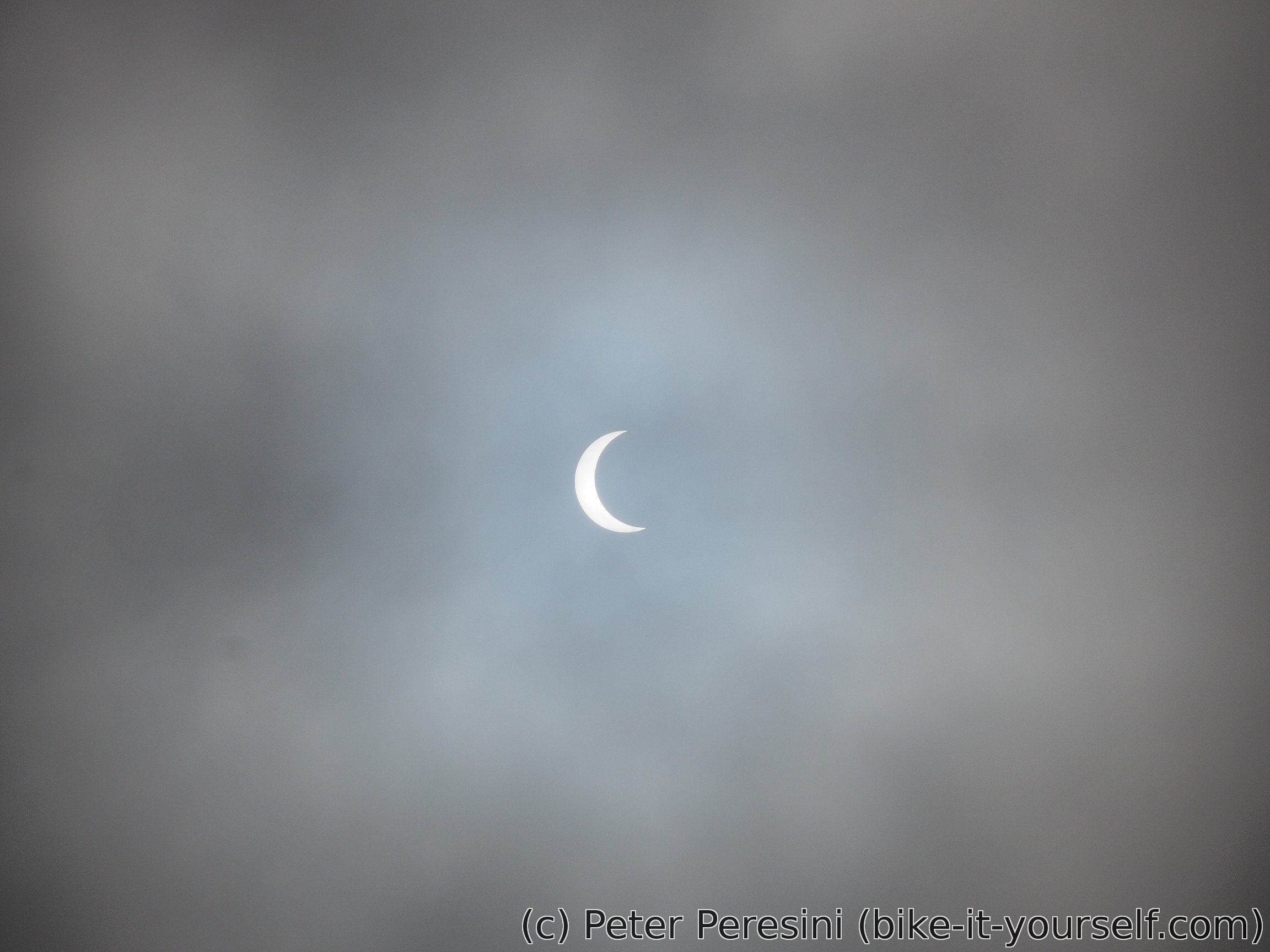
In the morning it is cloudy with low clouds hanging above me. However, it is surprisingly warm and even during night it wasn't cold. But that isn't the biggest surprise of the morning. The surprise happens when I can finally see a bit of the Sun. The clouds are covering a part of it. Or wait! When after the minute the shape looks the same it dawns on me. I am checking my phone for the Moon phases and for sure today is New Moon. Putting all the information together, I am witnessing a Solar Eclipse, and a quite good one.
I am passing by a small village Reigolil. And still continue slow climb. After I finally reach the pass, it is now time for a steep descent. But before that I am munching on a lunch.


The downhill ride is a mixed bag. There is a nice flat area at around 950 meters of altitude which goes through a nice forest and meadows and would provide infinite wild camping possibilities should I wish for a break now.
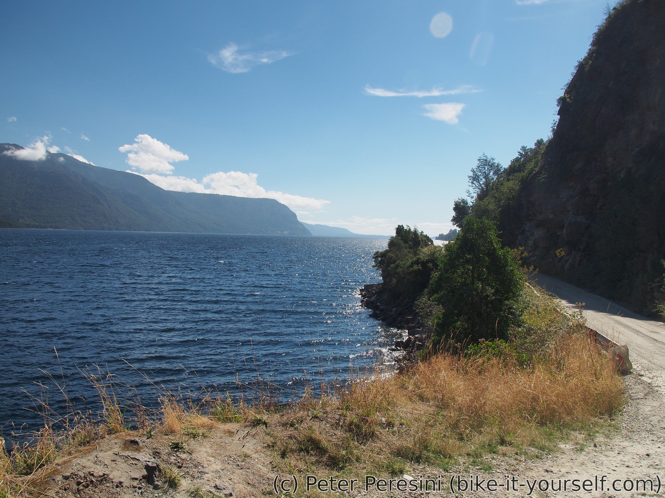
After the flat part of the descent, the road suddenly gets quite steep and I need to go very slowly because of the ripio. I pass by a junction to Termas San Sebastian and now I am passing around a canyon carved by Rio Blanco. Which slowly disappears and I am finally down, near Lago Caburgua.

From there it is a bit of a climb around the lake and slow downhill to Lago Colica. The views shift again to farmland. And the ripio turns out to bad washboard so I am quite grumpy.

Lago Colico brings much more ascent than I anticipated. For sure, the climbs aren't big but the road goes up and down pretty frequently. Which is why I am happy to finally reach Codihue and start on an asphalt road towards Cunco.
By the time I reach Cunco the Sun hovers dangerously low on the horizon. And I am unhappy to learn that there are no campings in this village. One is 10 kilometers in a wrong direction. And after a long talk with two older ladies (they did not want to stop talking) I am trying to find a supposed camping place near a pool but either it is not there or it is a very underground place without any visible markings.
So I end up going another few kilometers from the village. But there is enough sporadic houses that it is very hard to wild camp. The best place I could find is a 50 meters side road with a closed gate to some cow pastures with a bit of trees around. Not the best place but definitely much quieter than near the main road.
February 27
Yesterday evening I was able to predict that it will be misty today -- I saw how the mist slowly starts to settle after the Sun went down. So it is no surprise that in the morning I cannot see too much. But the mist clears out quickly when the Sun starts to shine. I also have a visitor. A very nice dog. It actually looked afraid of me because whenever I was looking on it, it went back a bit.
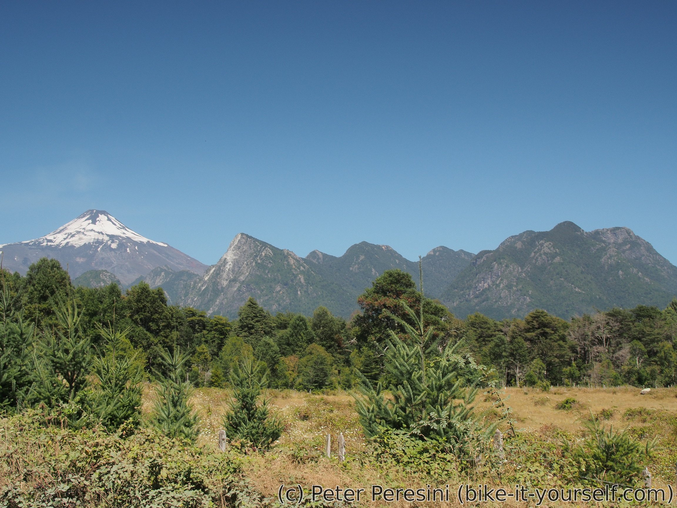
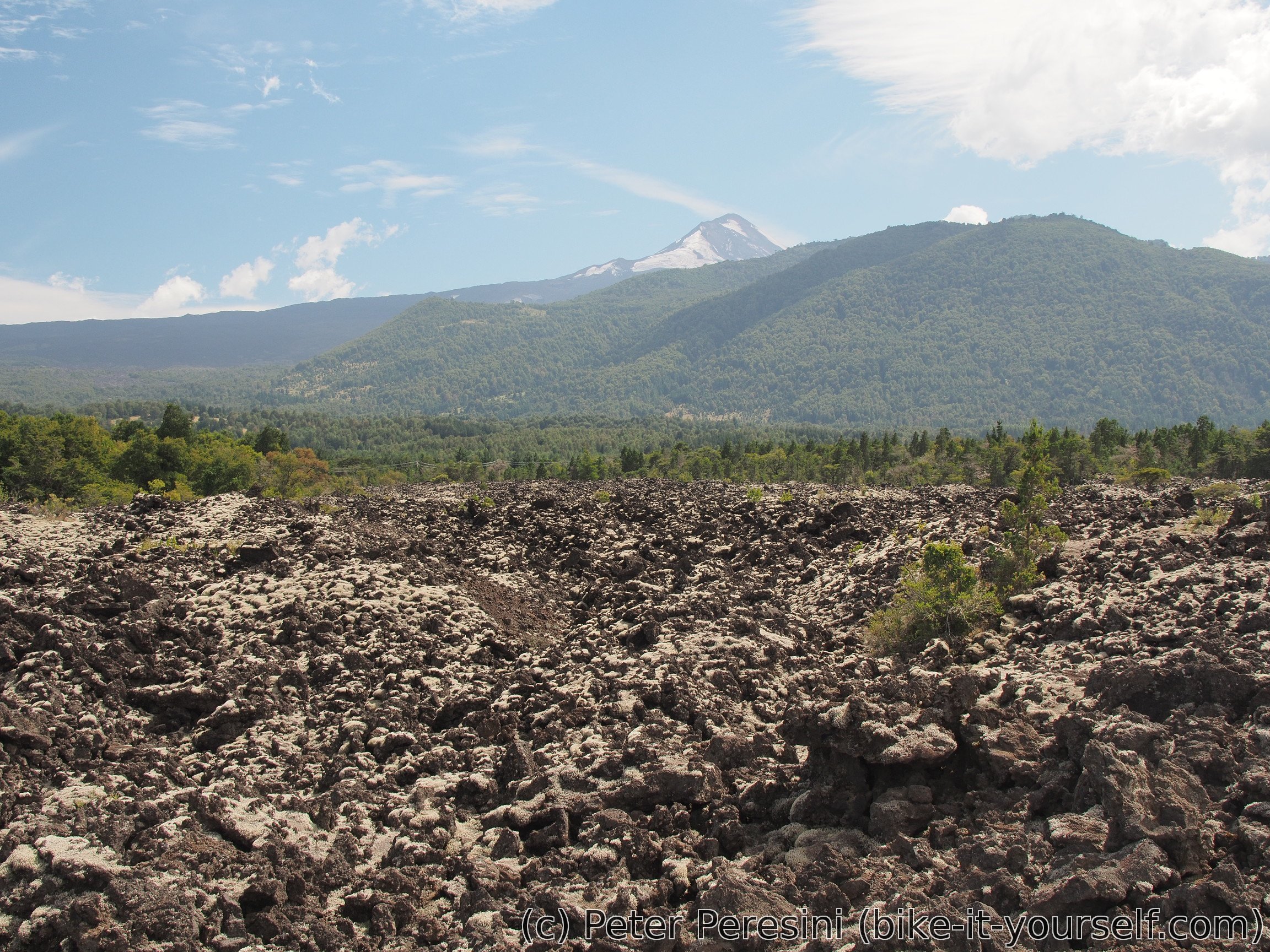
Today's plan includes a lot of pavement. First I am going on a flat road to Melipeuco with decent views of Volcán Llaima. This is a nice village but don't be too optimistic about its radio station -- I was almost glad when I went out of the signal.
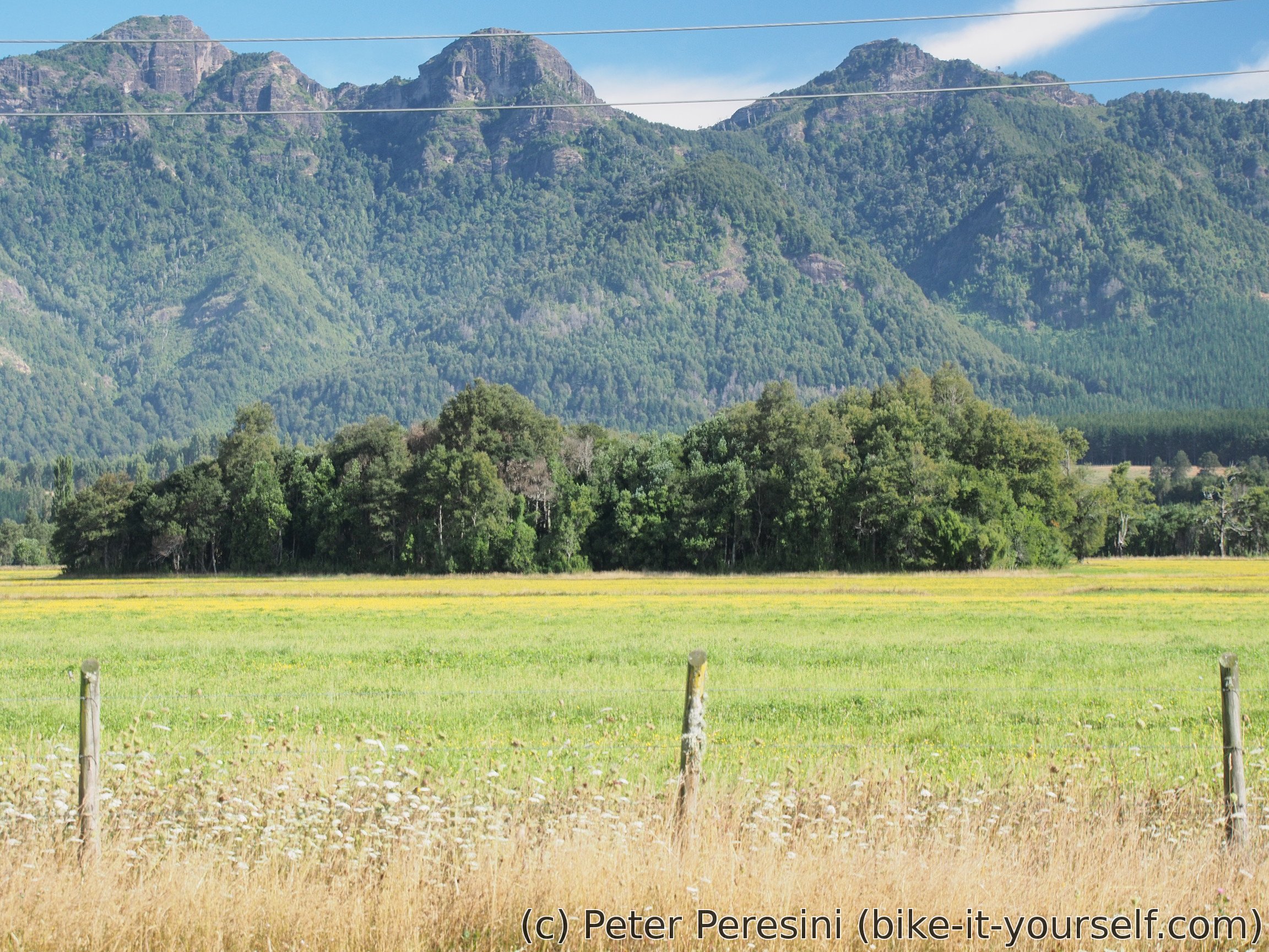
In Melipeuco I have lunch and prepare for the next step. The temperature is rising and in few hours I will have a climb so I expect a lot of sweat today. But there is still kilometers to go on paved road and I am stopping by another lava field.
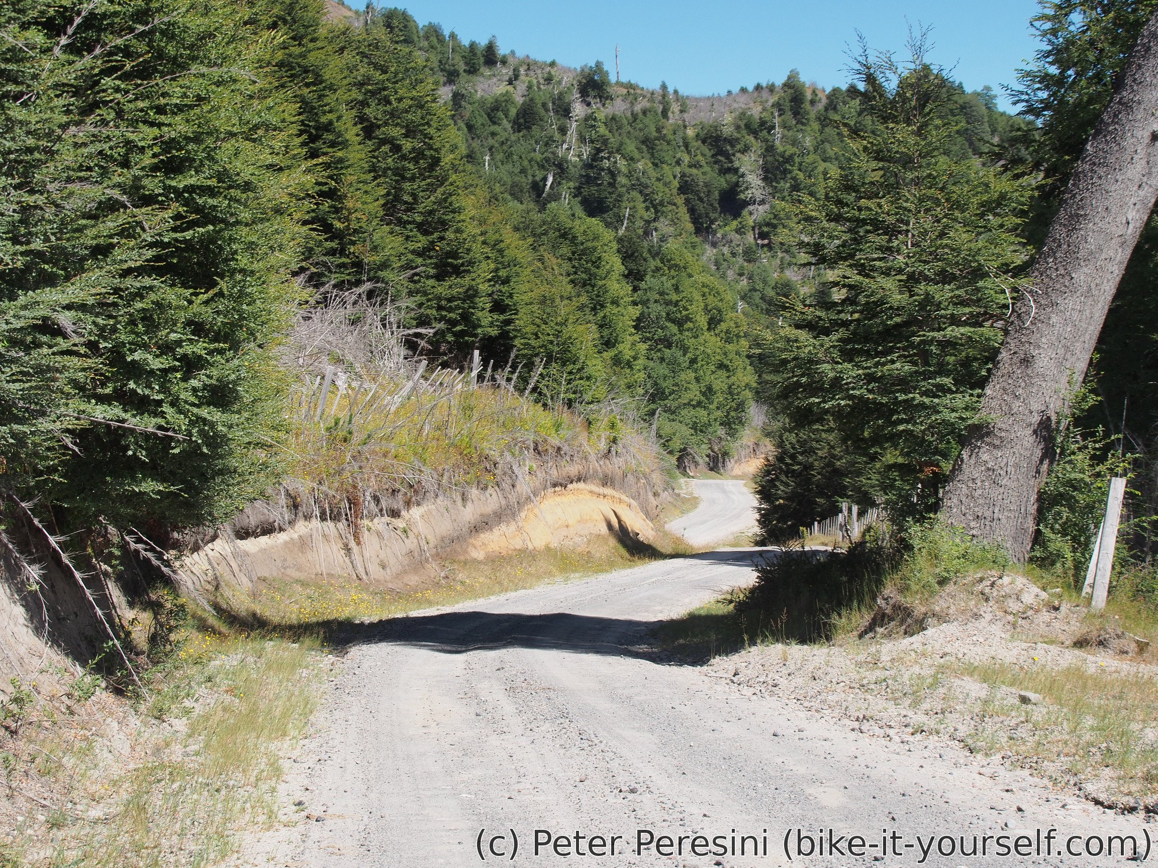
The climb itself is from 660 to 1300 and it is rather steep. It also marks the end of the pavement and introduces a rather crappy ripio. Fortunately, there are some big clouds hanging over the sky so it is decently cold. My only worry is for the clouds not to get mad and rain.

Around the pass there are some wild camping spots. That is, if you are willing to share these spots with sporadic cows and horses which live here.
The true "quaility" of the ripio is shown on the descent. I am thinking that the quality of a ripio can be simply measured by a seizmograph. Just put it near a road and let some heavy truck go on the road. I would bet that this one scores at least Richter 4.
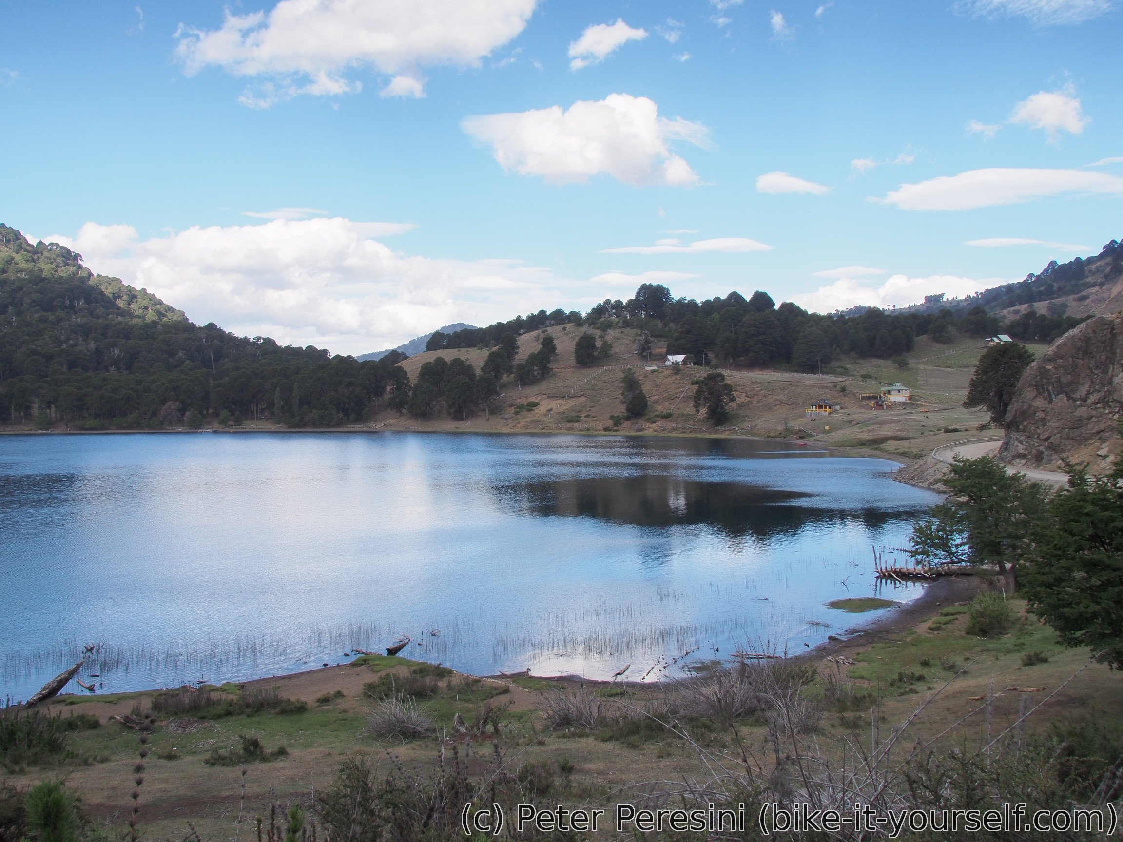
But there is a reward for all of this -- views of lake Icalma are just great. After a few kilometers along it I am reaching Icalma village in a search for normal camping. I am finding a nice place but it costs too much. Fortunately, I am able to convince the manager to halve the price from 10000 to 5000 CLP which is very good for the sitio I have.
Route
Download simplified GPX of a route here
Stats by activity:
| Activity | Distance (km) |
Ascent (km) |
Pedal rotations (thousands) |
|---|---|---|---|
| bike | 242 | 3.0 | 54 |
| cablecar | 1 | 0.4 | - |
| hike | 9 | 1.0 | - |
| Date | Distance (km) |
Ascent (km) |
Avg. temp (moving, C) |
|---|---|---|---|
| Feb. 24, 2017 | 10.0 | 1.43 | 24.1 |
| Feb. 25, 2017 | 74.0 | 0.79 | 29.5 |
| Feb. 26, 2017 | 98.5 | 1.17 | 23.2 |
| Feb. 27, 2017 | 69.8 | 1.07 | 24.8 |
Elevation data
The next table is only for cycling activity.
| Grade(%) | Ascent (km) | Descent(km) |
|---|---|---|
| < 2 | 129.2 | |
| < 4 | 18.8 | 17.5 |
| < 6 | 5.4 | 5.8 |
| < 8 | 5.8 | 3.9 |
| < 10 | 3.2 | 2.4 |
| ≥ 10 | 7.1 | 5.9 |