
Polvaredas to Callingasta
 Share:


After successfull cross of Cristo Redentor pass my next plan is to head directly north. The route goes on a deserty altiplano but it is quite nice.
March 26
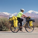
The first plan for today is to finish the remaining 40 kilometers of descent to Uspallata. While this looks like a quick job, it takes me more than anticipated, mostly because the descent flattens off and starts to have little hills at the end. Plus I am having frequent photographic breaks -- the final parts of the Rio Mendoza canyon are breathtaking.


In Uspallata I am first heading off to gendarmeria as I have a few questions to ask. The most important is presence of water along the deserty route. To my surprise, this seems to be a smaller problem than I anticipated. To digest this new information I am stopping by a restaurant and have a pizza. Afterwards I am heading for a shop and I am actually quite lucky to find one which is open (remember that this is Argentina, i.e., they have stupid siesta time here).
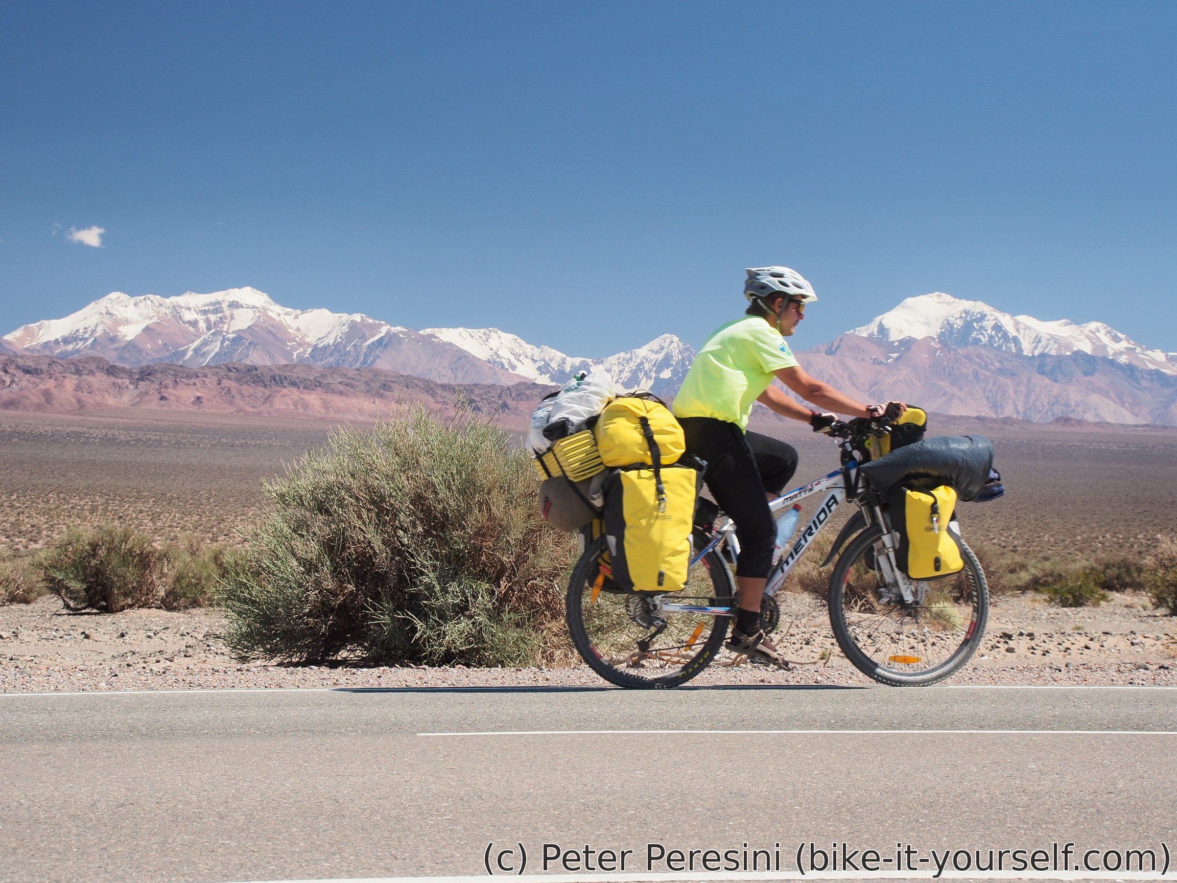
My original plan to get to Callingasta tomorrow seems now unreasonable. But Barreal looks to be doable so I am setting this as a new plan for the next one and half day. The only problem is that after the chilly pass I am back to the blazing heat. And mind you, I am still above 1800 meters of an altitude.
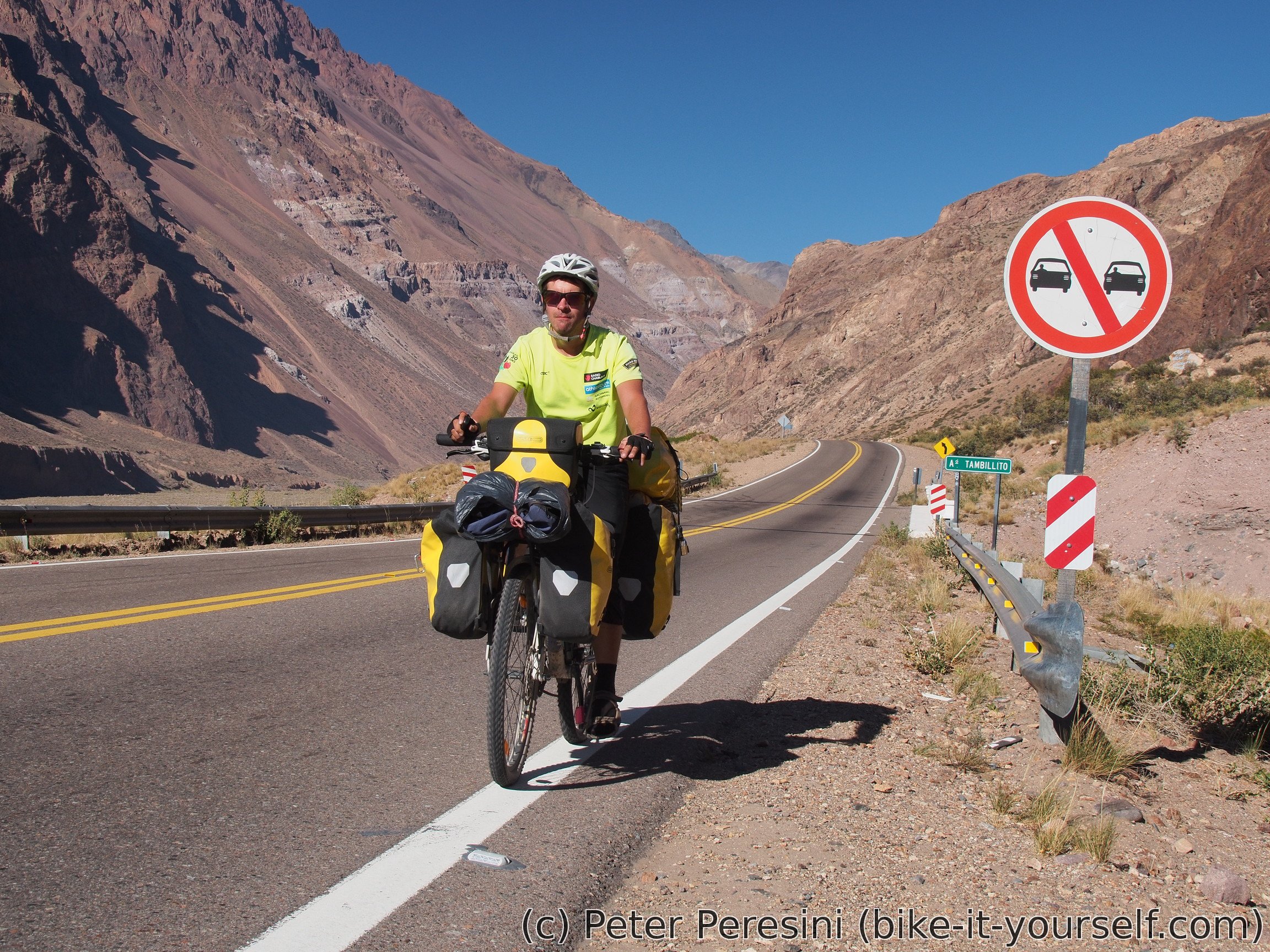
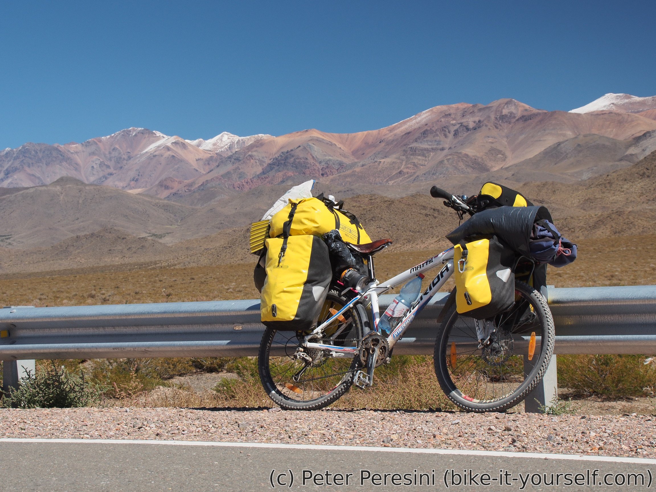
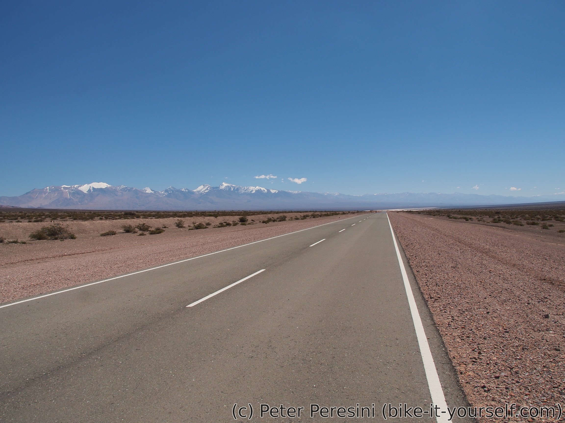
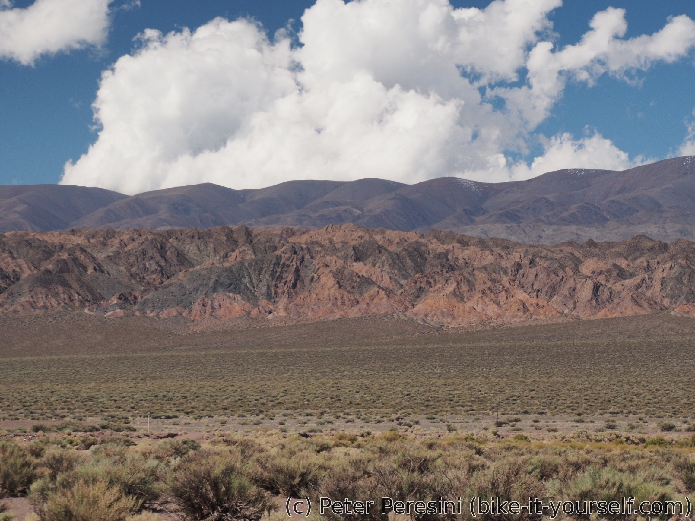
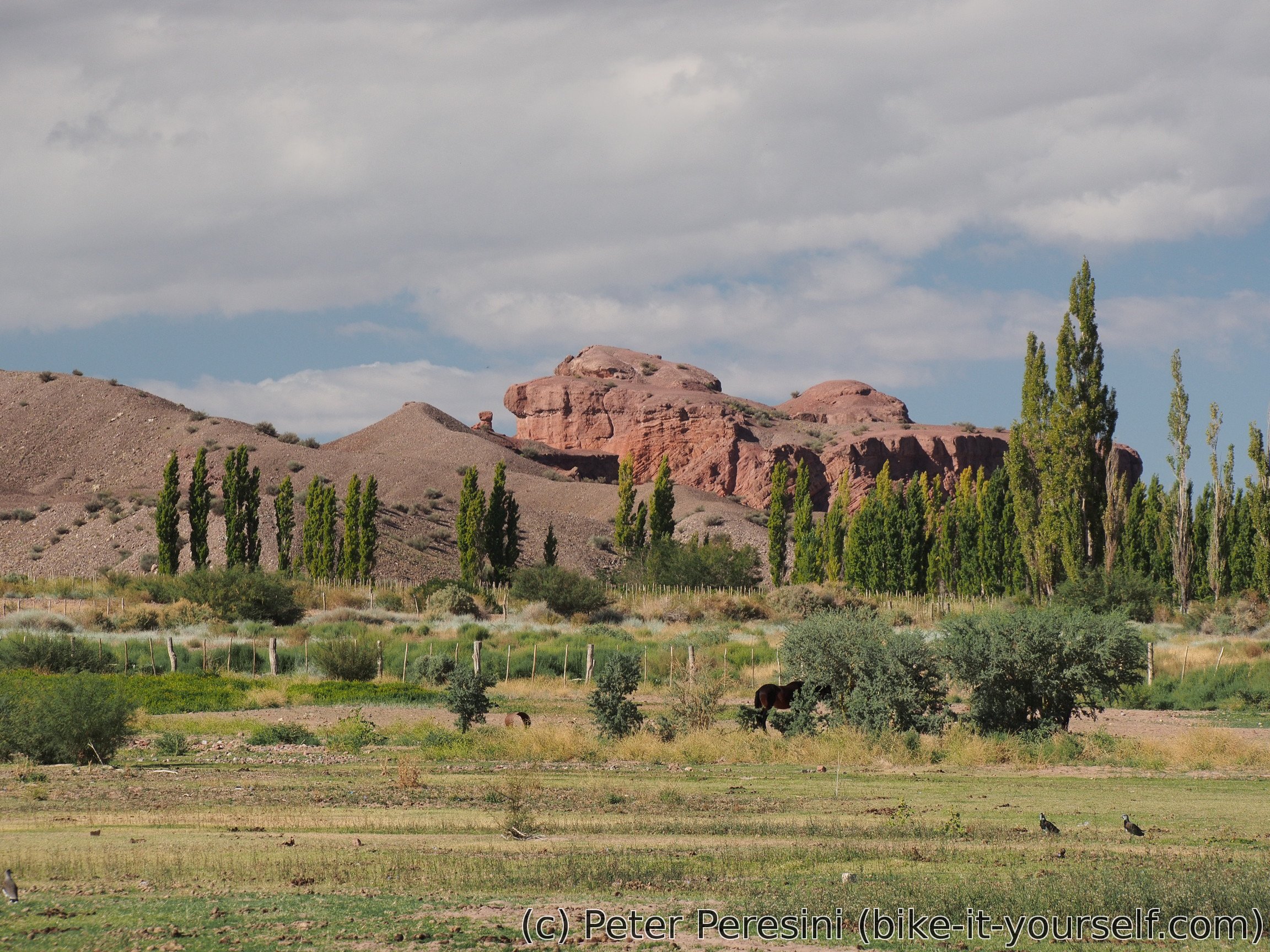
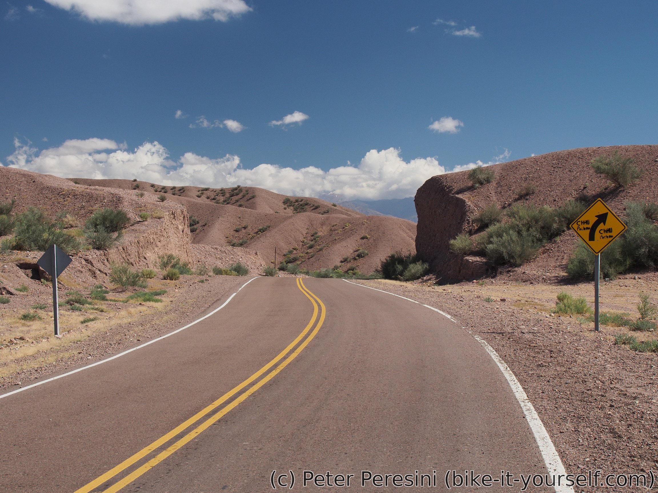
As I head from Uspallata to the north the scenery changes. I am now riding a very wide valley. On the left side I have some high and snow-covered peaks. The right side is covered by nicely colored hills.
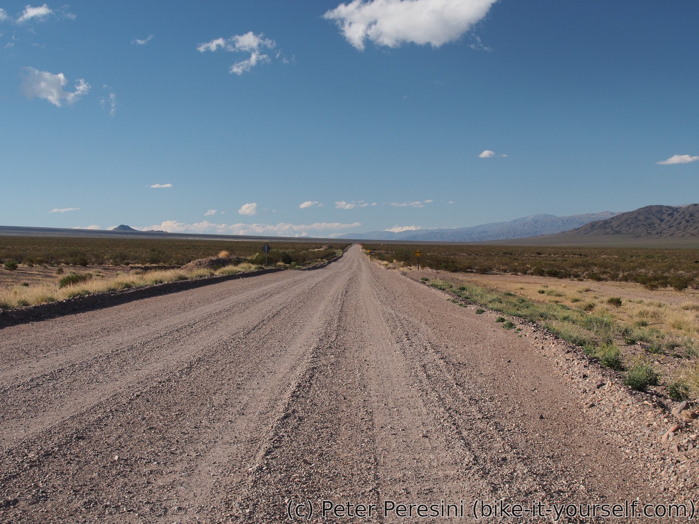
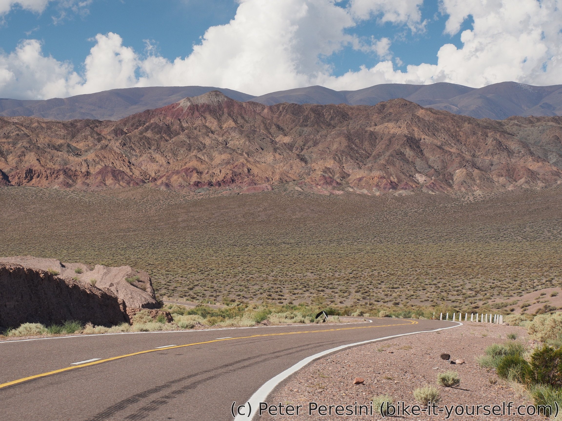
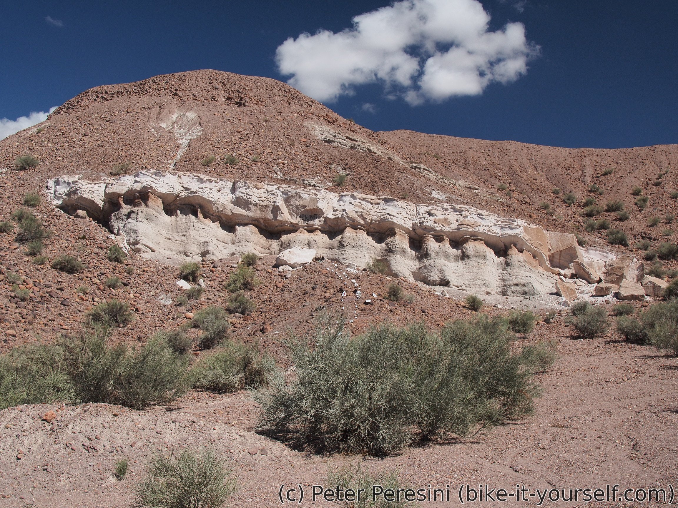
Before me lays 20-30 kilometers of very lenient uphill (I need to climb around 400 meters) before I can descent towards Barreal. The paved road is replaced by a ripio. And a problem occurs -- it looks like the spot I was recommended to get water from is an estancia a few kilometers off the road. As I am not particularly interested in detouring there I just continue on the road and mentally prepare for a bit of water shortage. Fortunately, the policeman was correct about the water. It isn't the estancia he was mentioning. In just a few kilometers I am coming across a decent water stream where I refill my bottles. It looks like the stream is flowing from the estancia I did not want to go. And if this wasn't enough, there is also ***difunta correa*** as a desperate option.
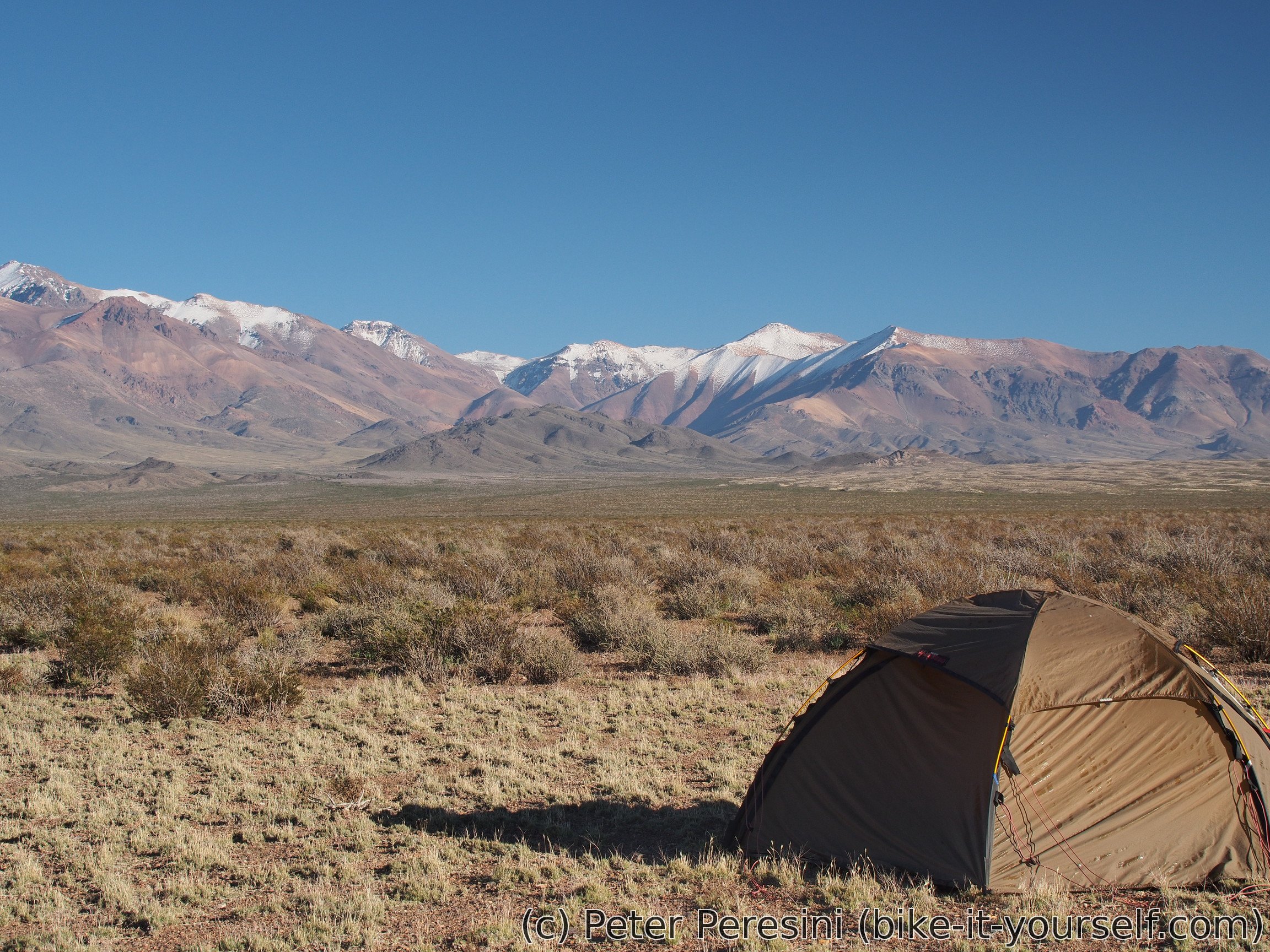
As the evening sets, I am trying to find some place to camp. This isn't easy because I am basically on a deserty altiplano with nothing to shield from the wind which slowly picks up (and is blowing from the east, beats me why). Fortunately, I am finding a kind-of shrine next to the road. It isn't big but helps to shield the tent at least a bit.


The night is interesting. In the distance to the east I can see some storm clouds. They even produce a frequent lightning. But above me there is nothing, just a clear start-covered sky.
March 27
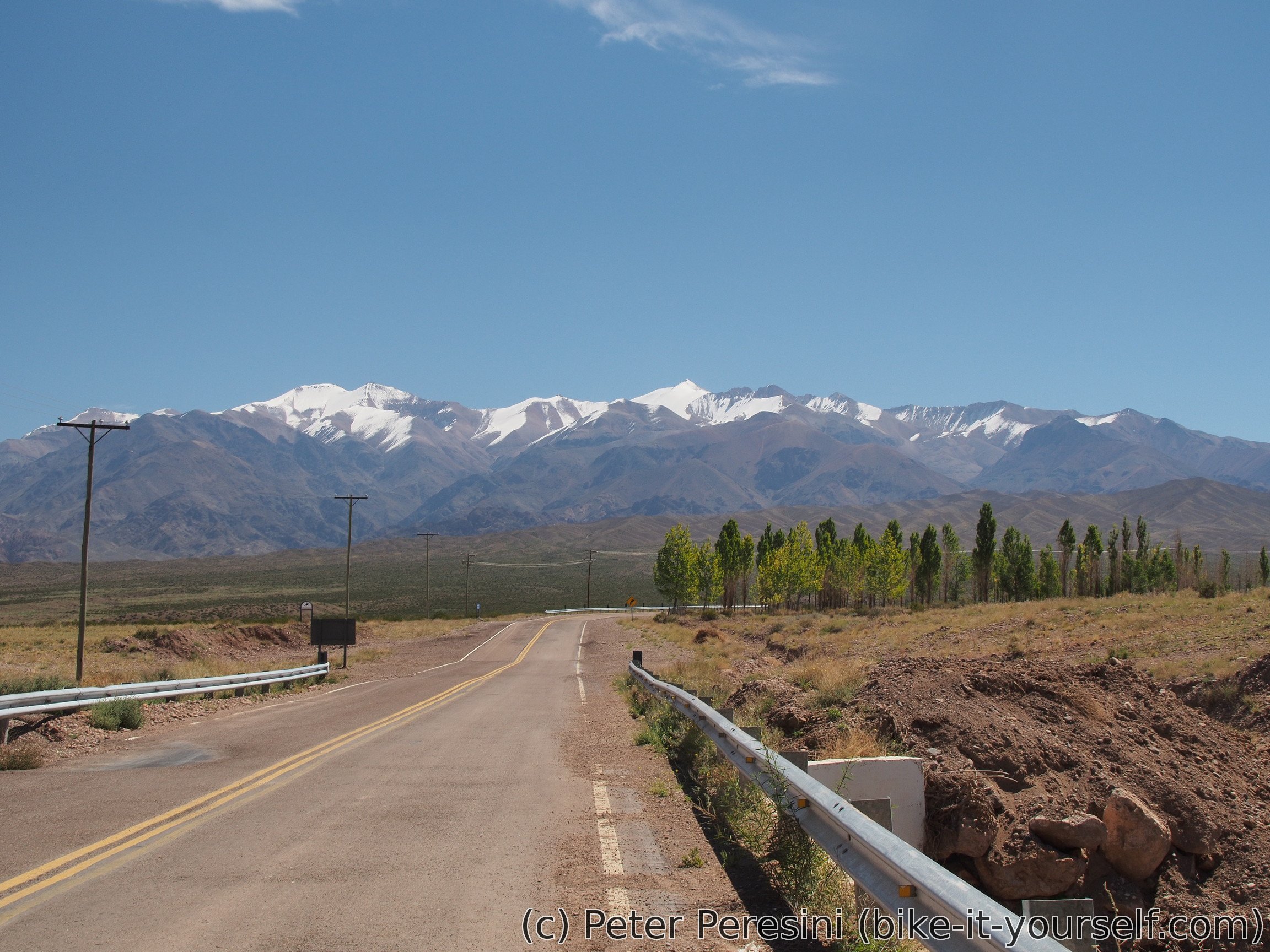
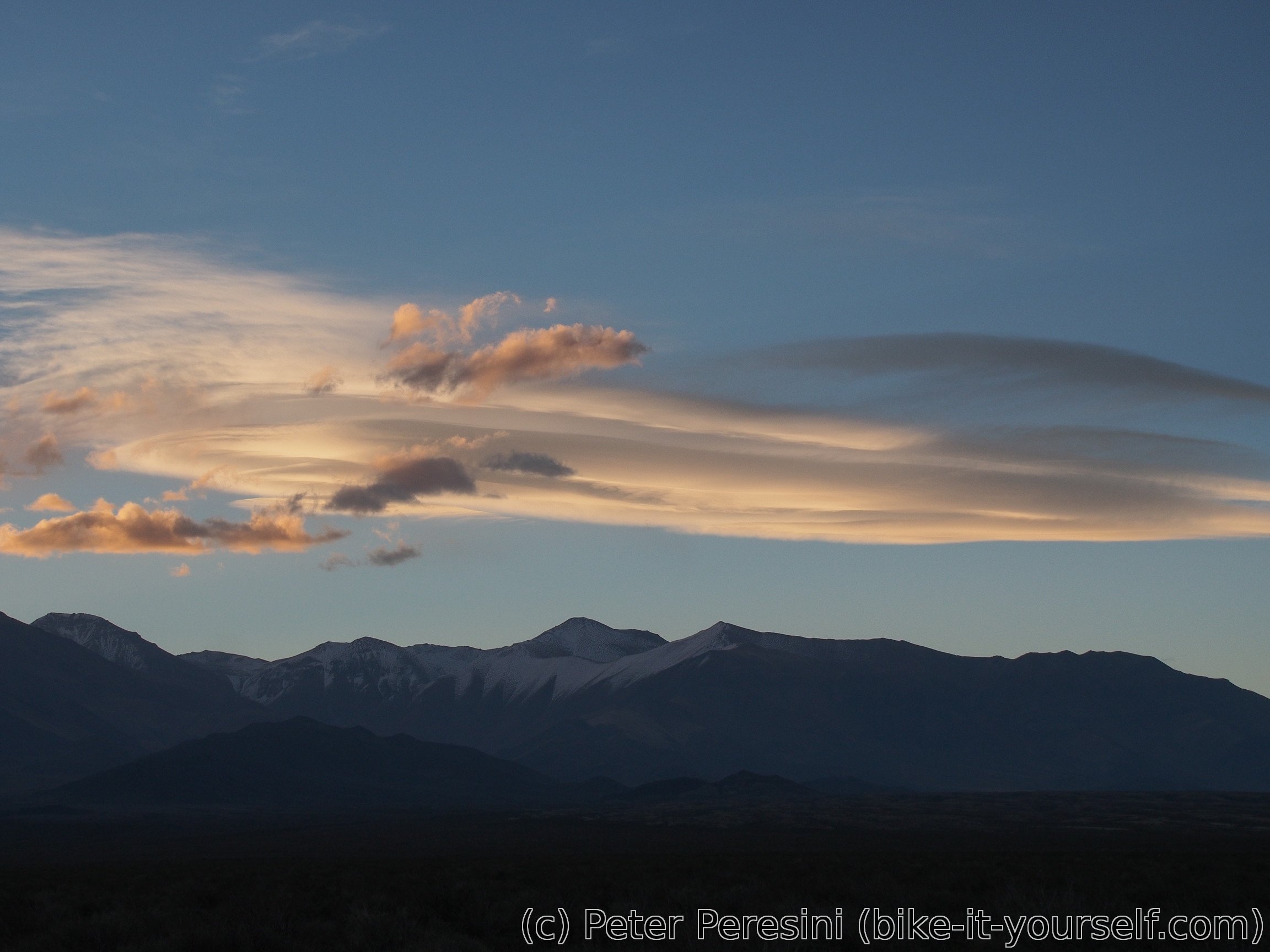
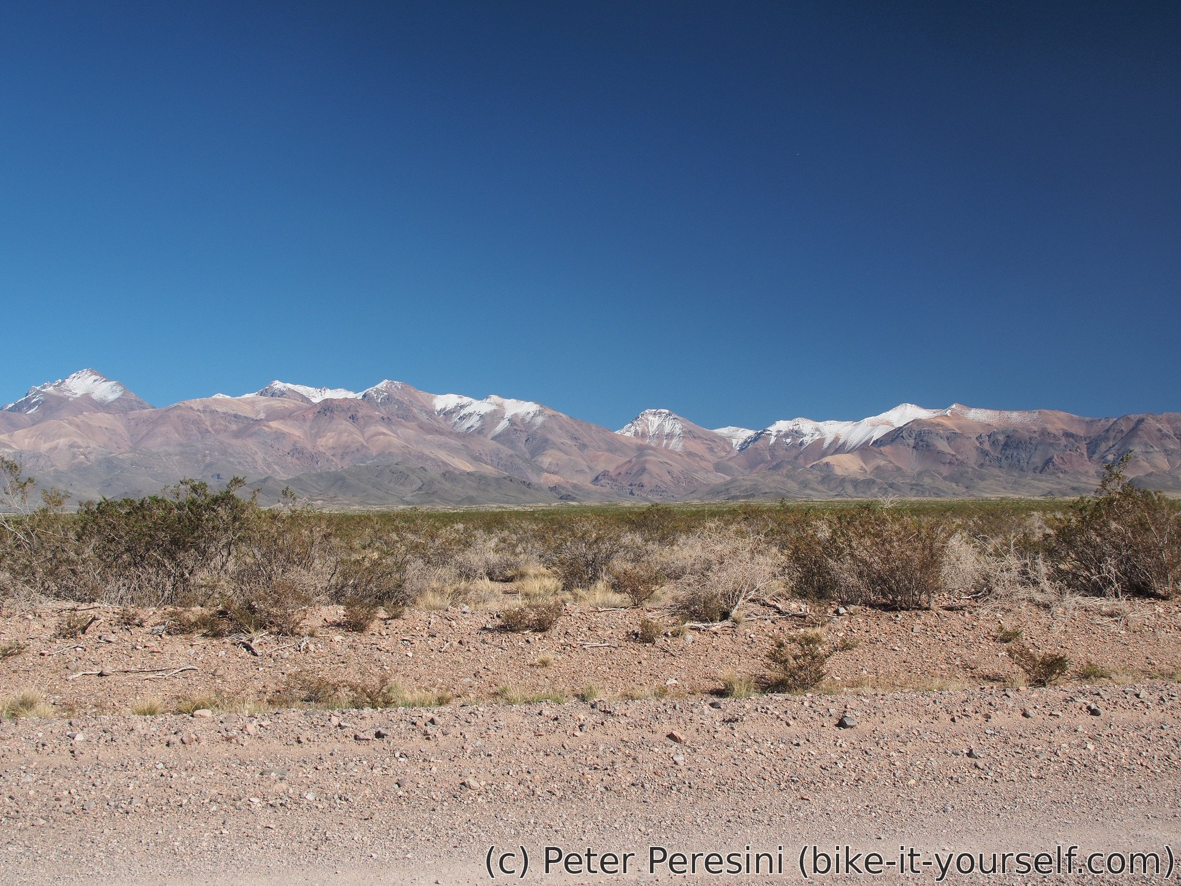
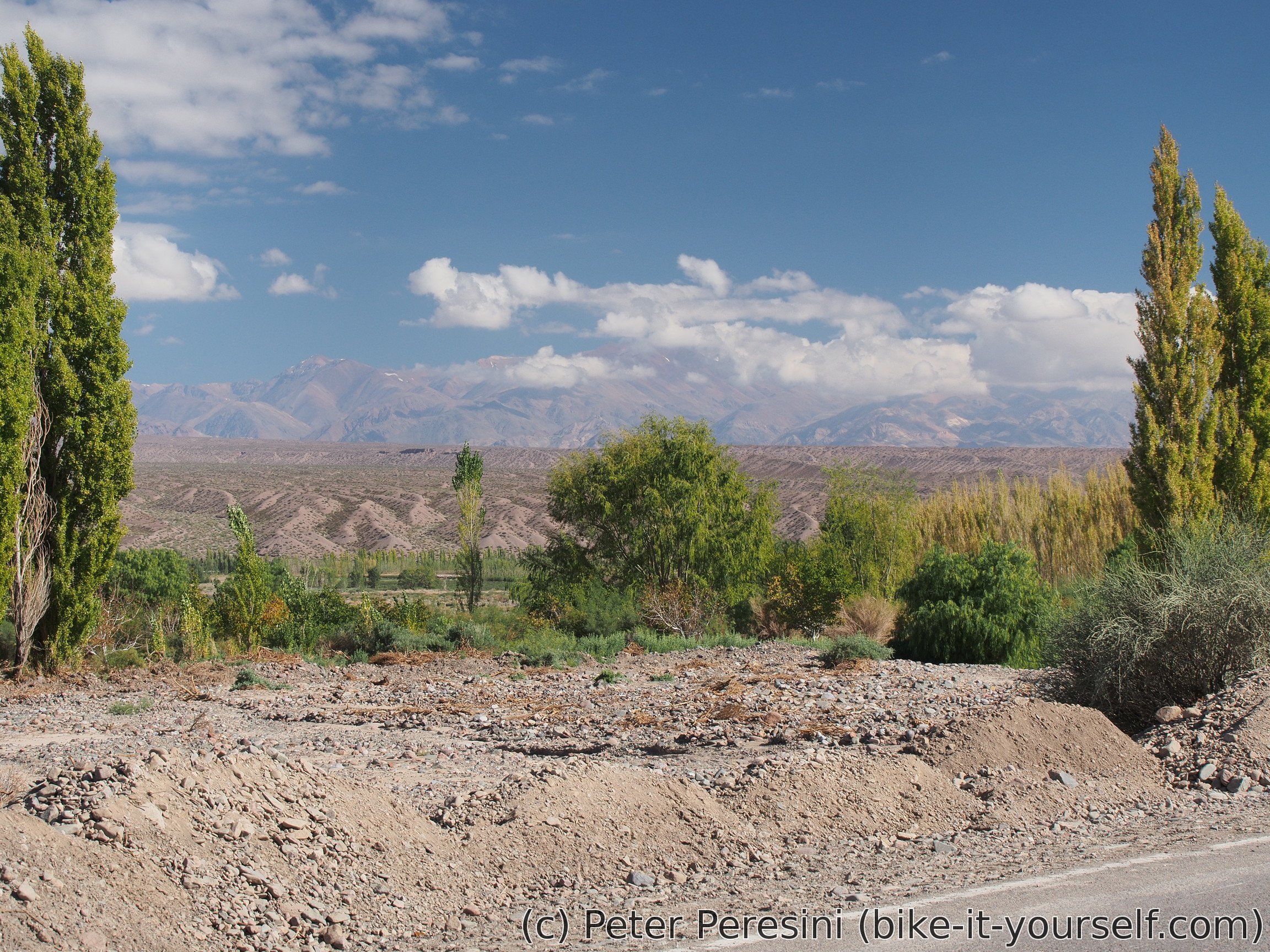
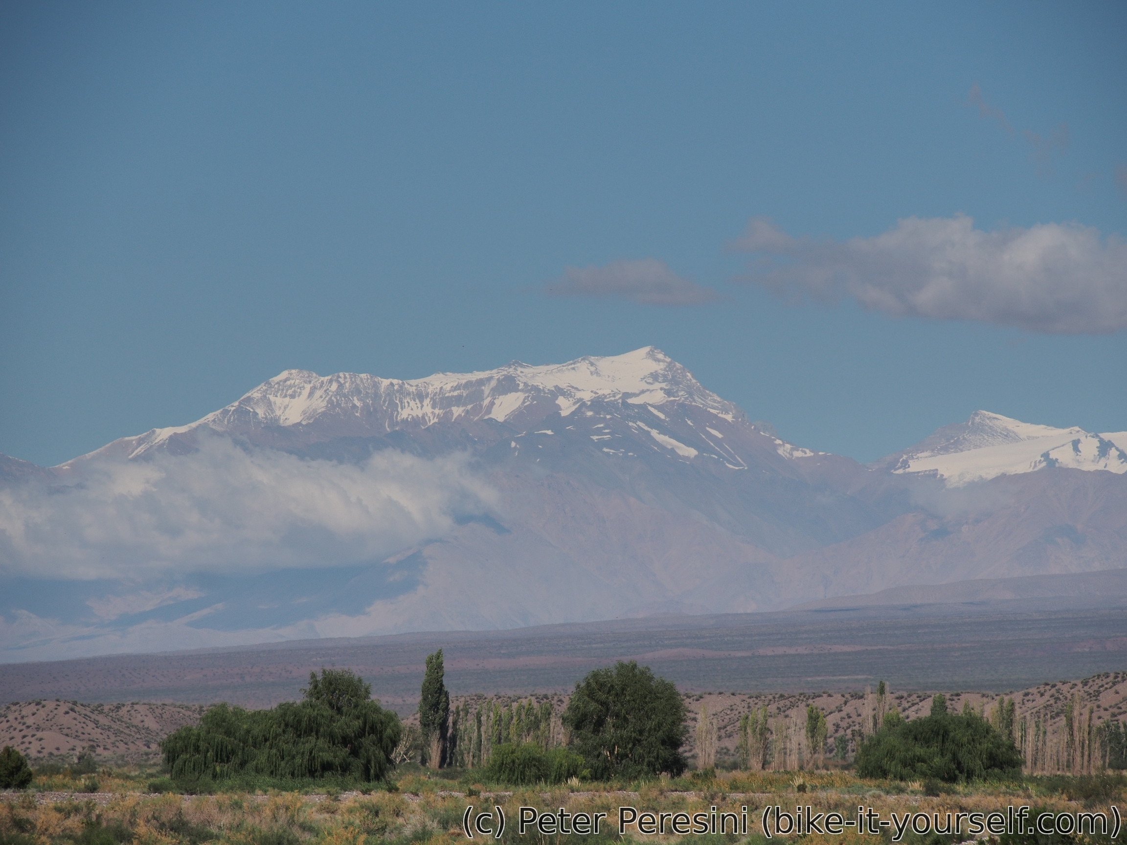
In the morning I am quite stunned by the amount of condensation in my tent -- I should be on a semi-desert altiplano so a condensation is quite surprising. As a consequence I need to wait till my tent is dried by the Sun. But the wait is quite worth it because I have a perfect view over the mountains to the west. The only aspect which makes me a bit afraid is the presence of snow on the peaks -- surely not a good sign because in a few days I am planning to cross >4700m pass and snow there would be definitely a problem. But I am leaving such worries for later.
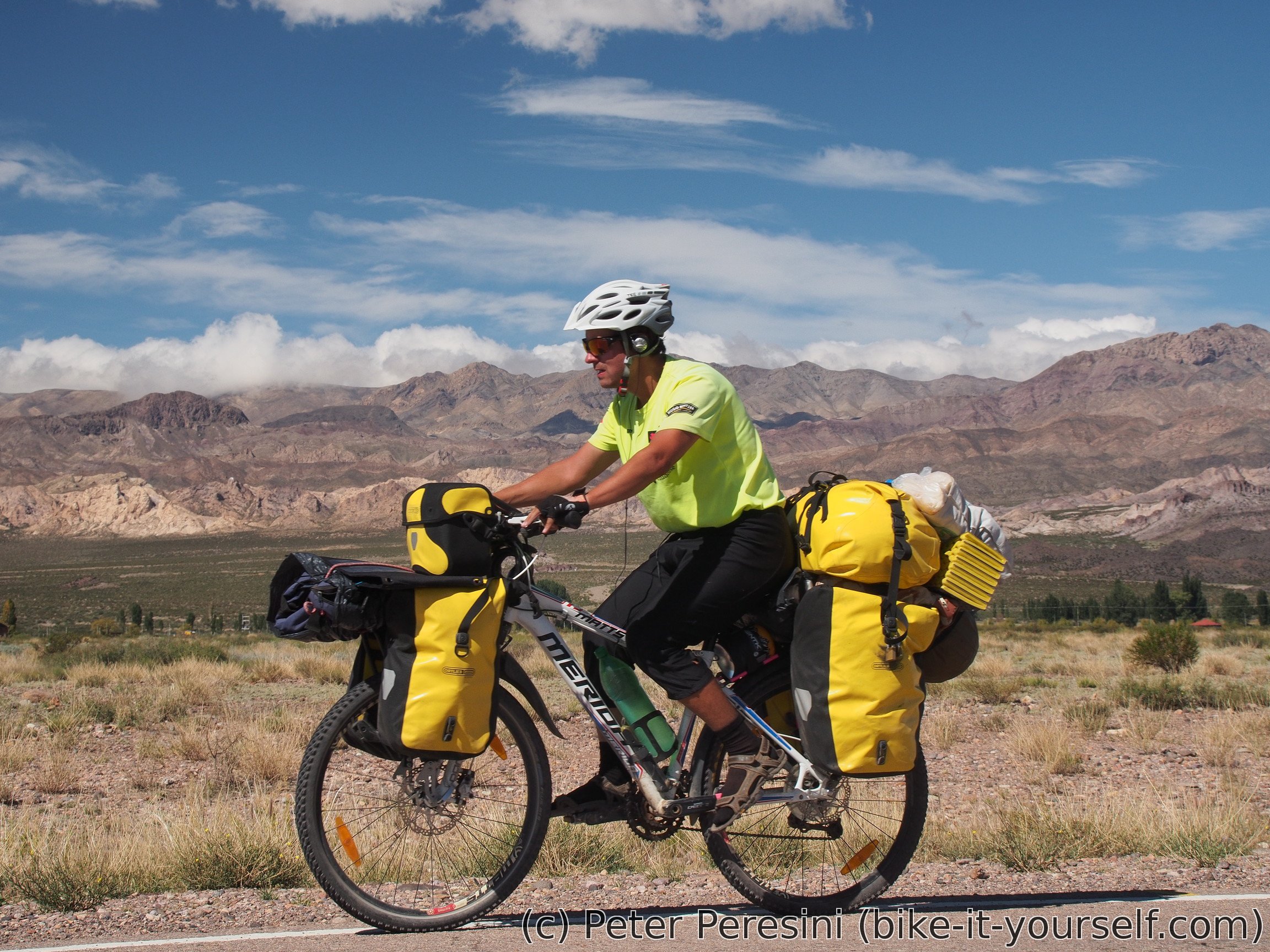
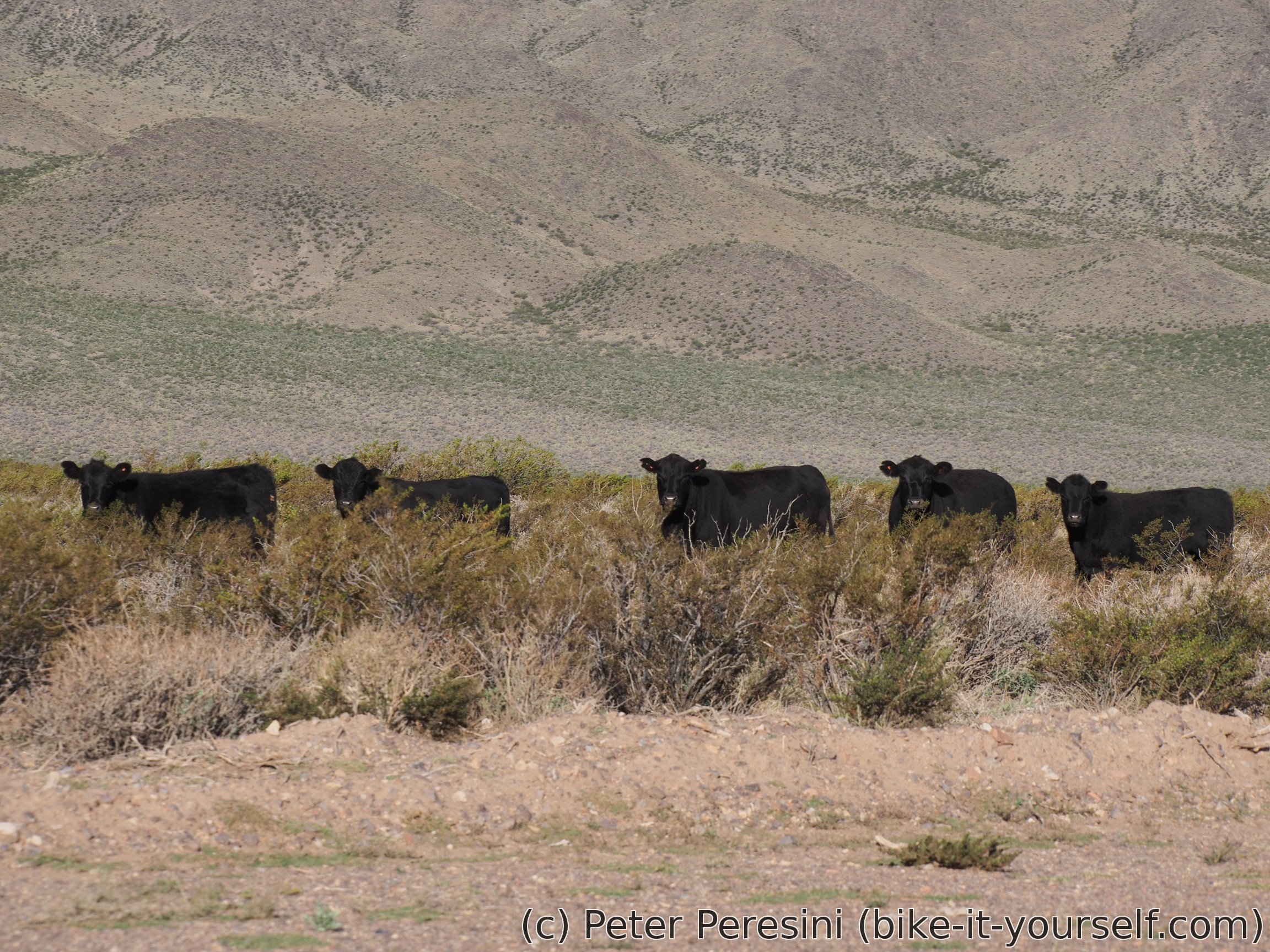
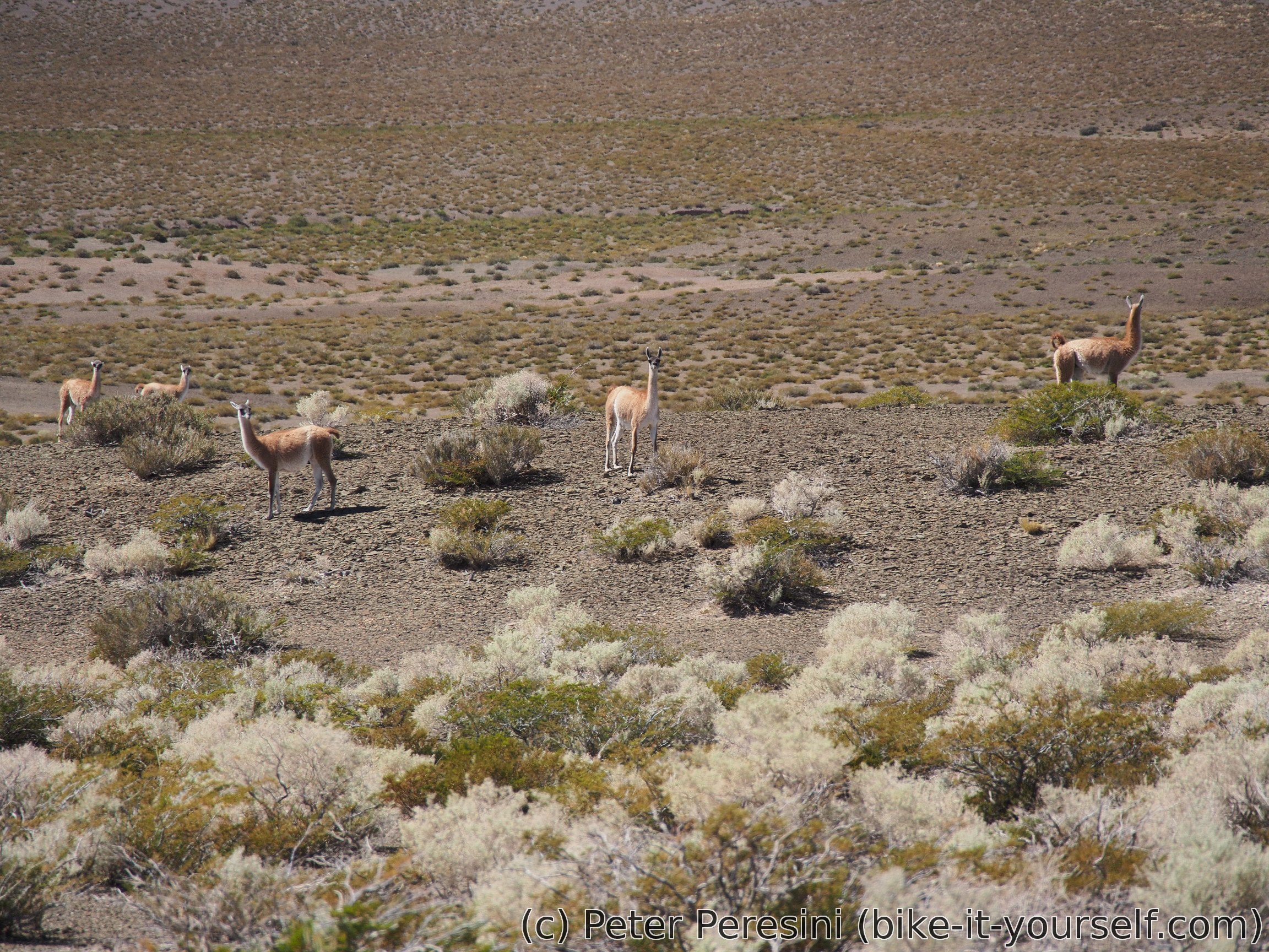
After I finally pack my camp, I am left with the last 80 kilometers to Barreal. Which proves a bit more challenging than I thought because I need to fight my old enemy wind. And there is no way to hide from it -- the whole day ride is flat roads on slightly-tilted plains covered with small bushes. As I enter national park Leonicito I can see some guanacos.
The wind spoils the downhill ride though and I need to push hard just to go down. The road then flattens (i.e., cycling gets harder) and I am finally (after 60 kilometers) able to restock with water by asking at a gendarmeria.
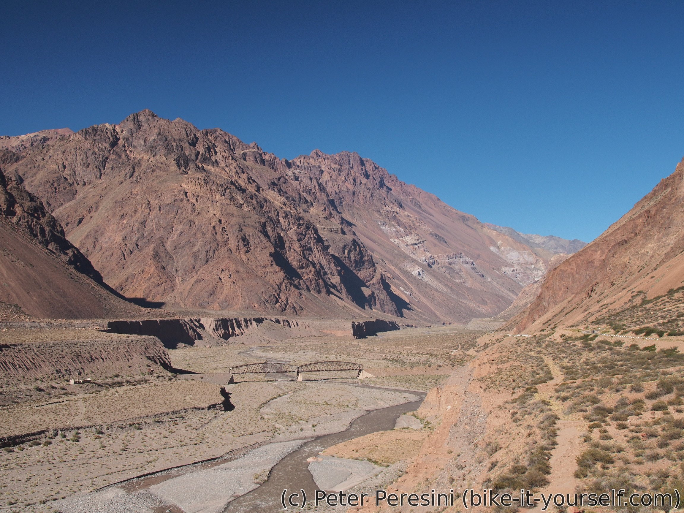
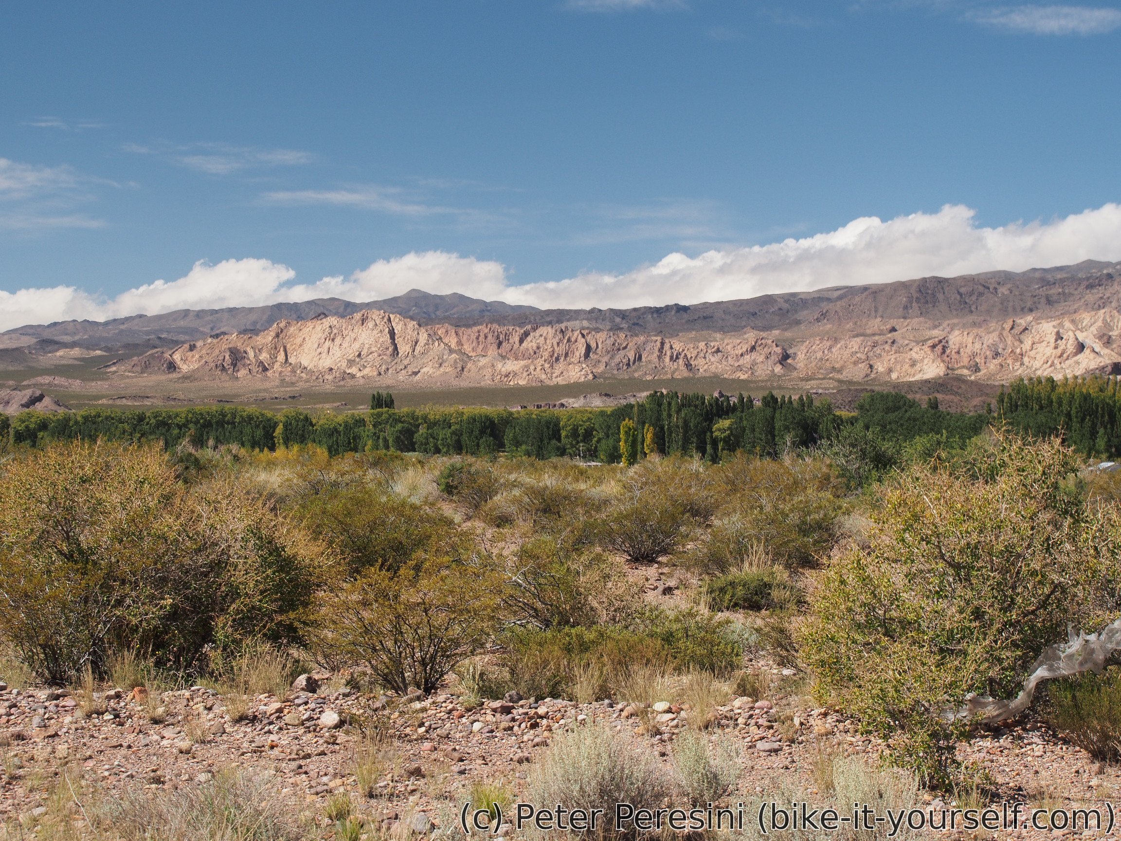
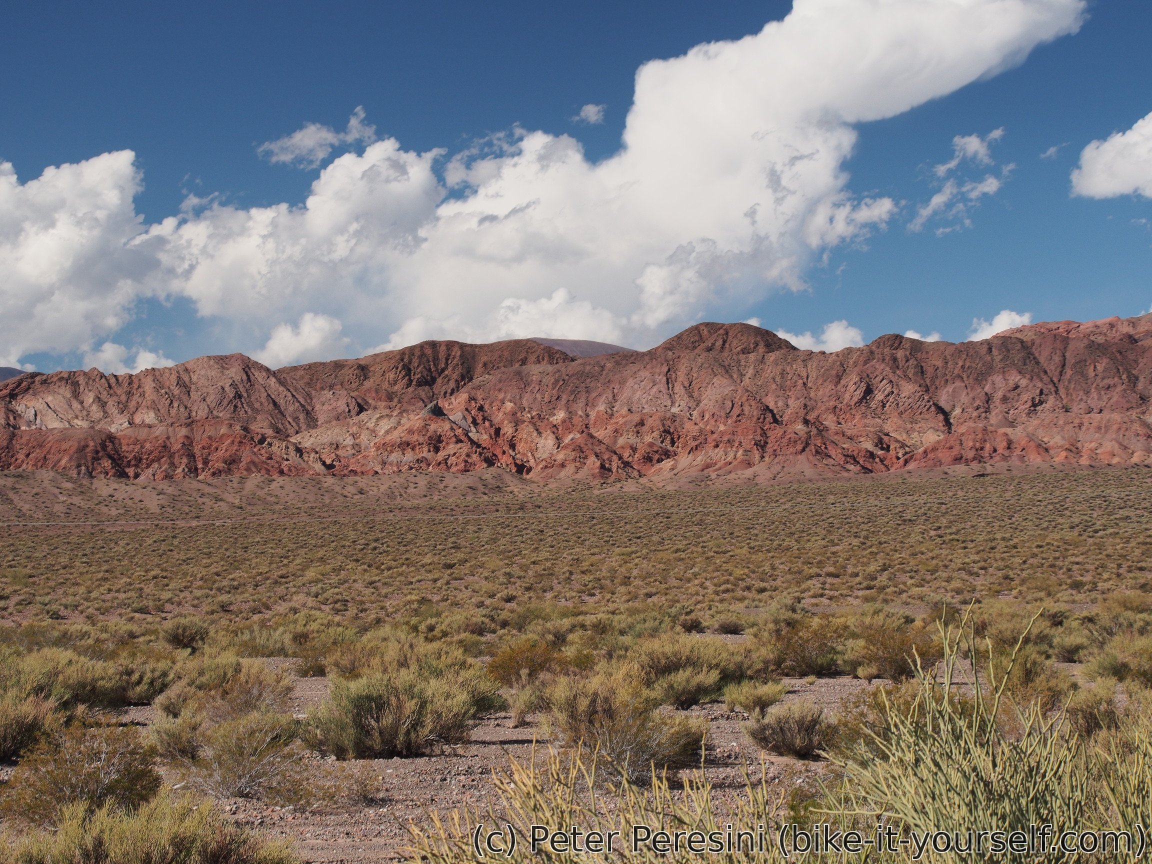
The final descent to Barreal is quite nice -- the views are once more decorated with colorful mountains. There I am finding a municipal camping which is very nice. And apparently quite private as I am the only guest for tonight. The only drawback is that it is a bit far from the city center where I go for shopping and laundry service by an old lady.
March 28
Today's plan is very easy. I want to reach Callingasta which is about 45 kilometers on a paved, mostly flat road. But before I can go I need to stop by the washing lady to get my clothes and make a pit stop to get bread.
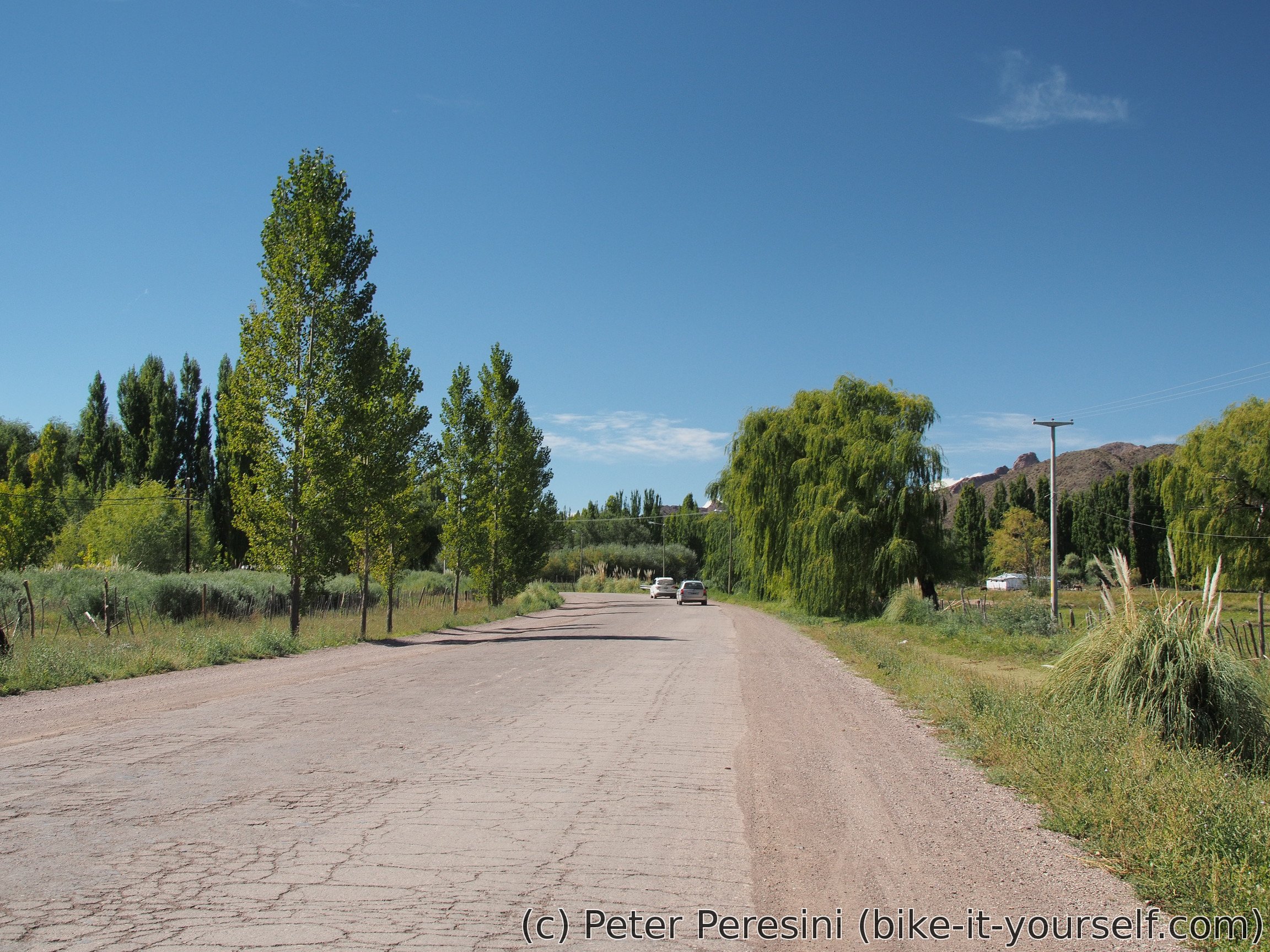
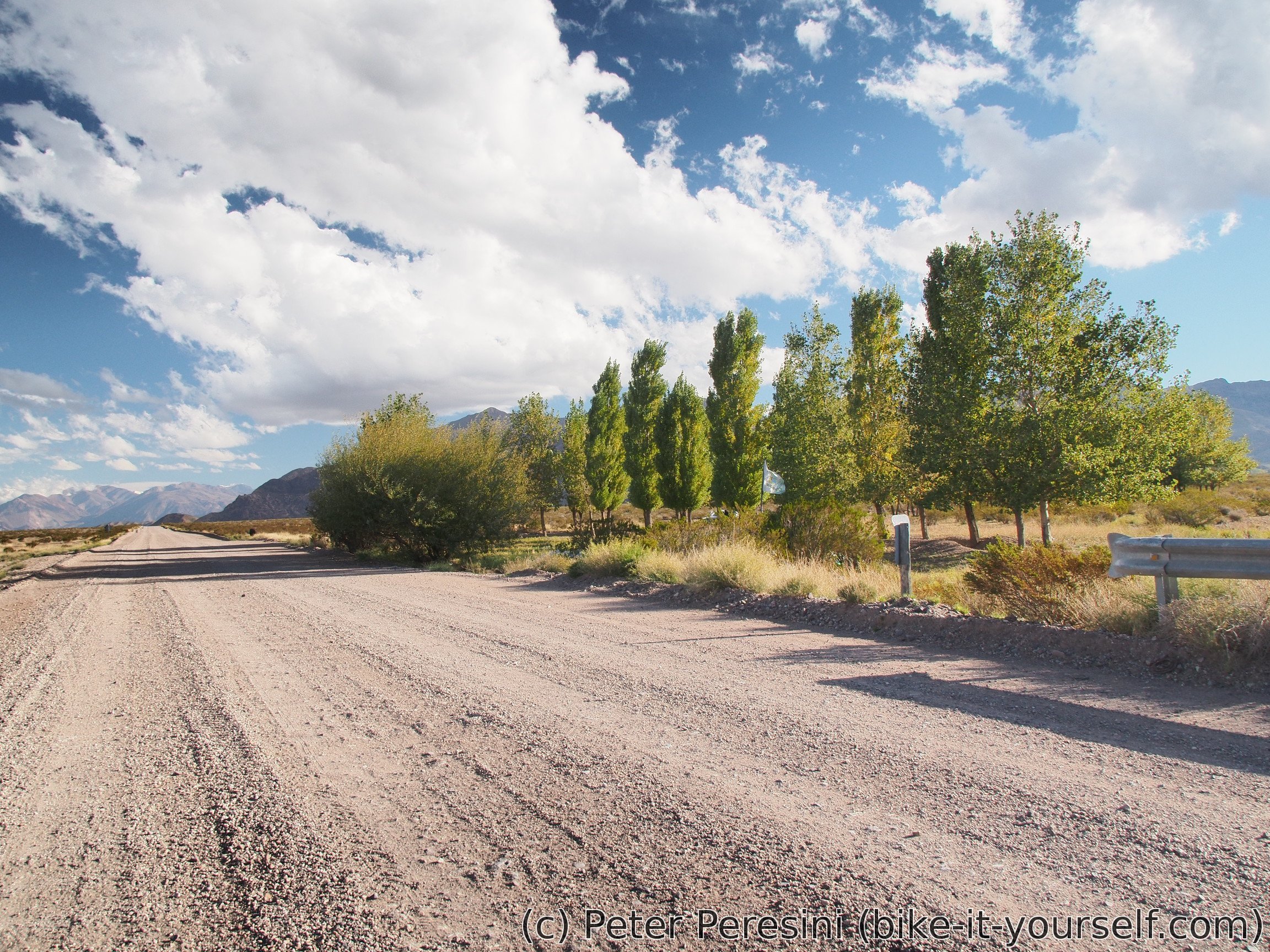
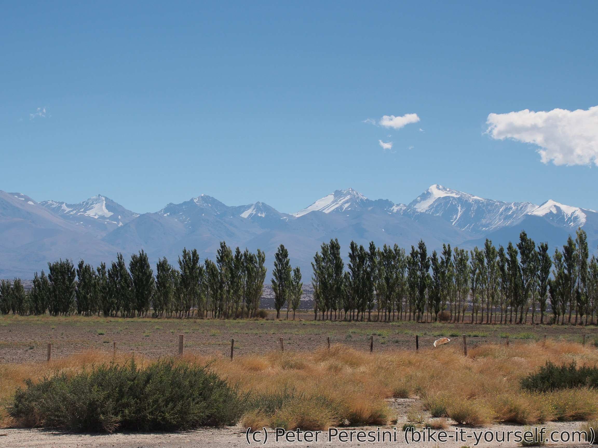
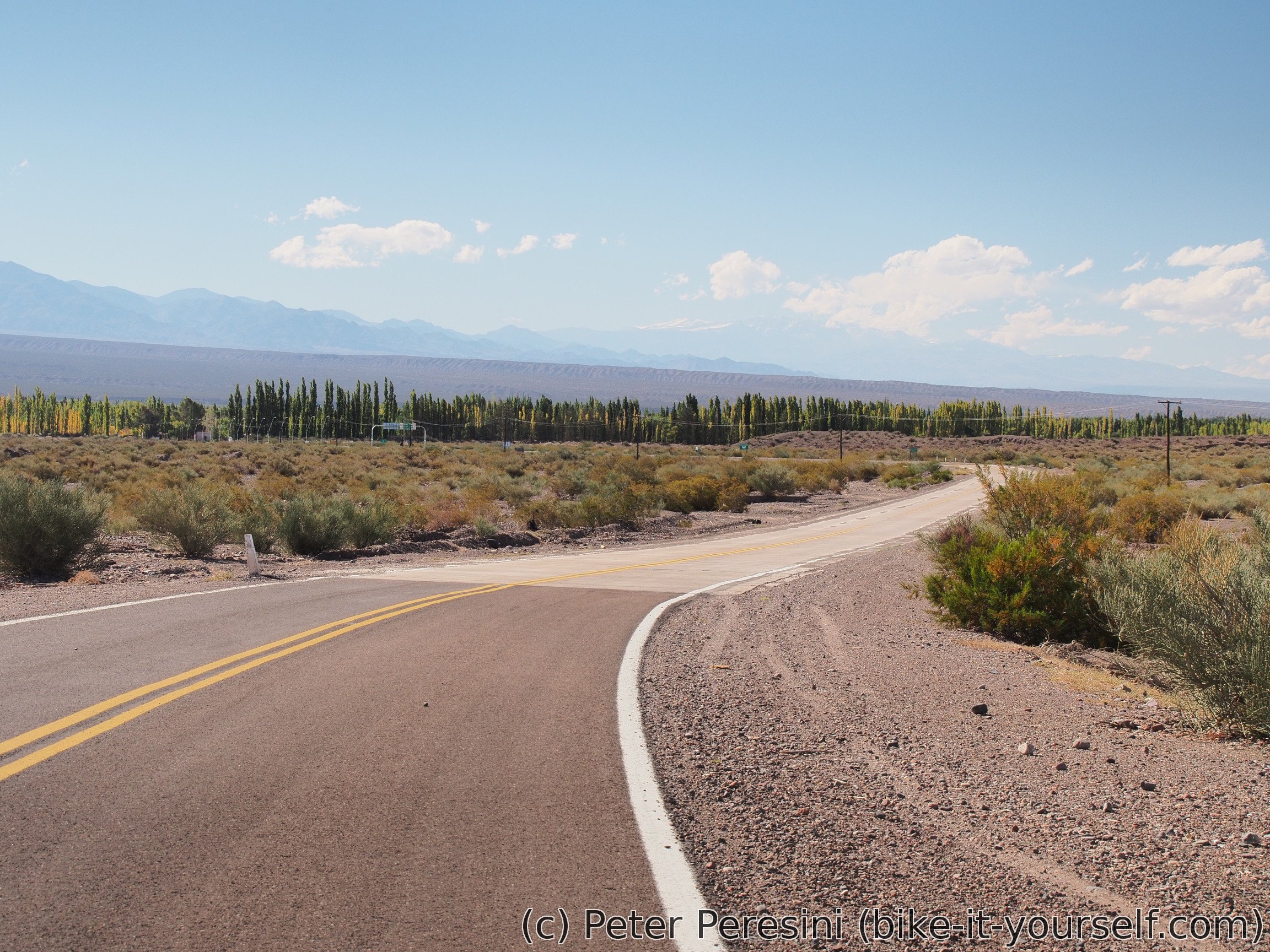
Compared to yesterday, today's road looks like oasis. Apparently the outskirts of Barreal are very well managed with many human-made ditches full of flowing water. But then, there is enough water to do this flowing in a big river which I cross.

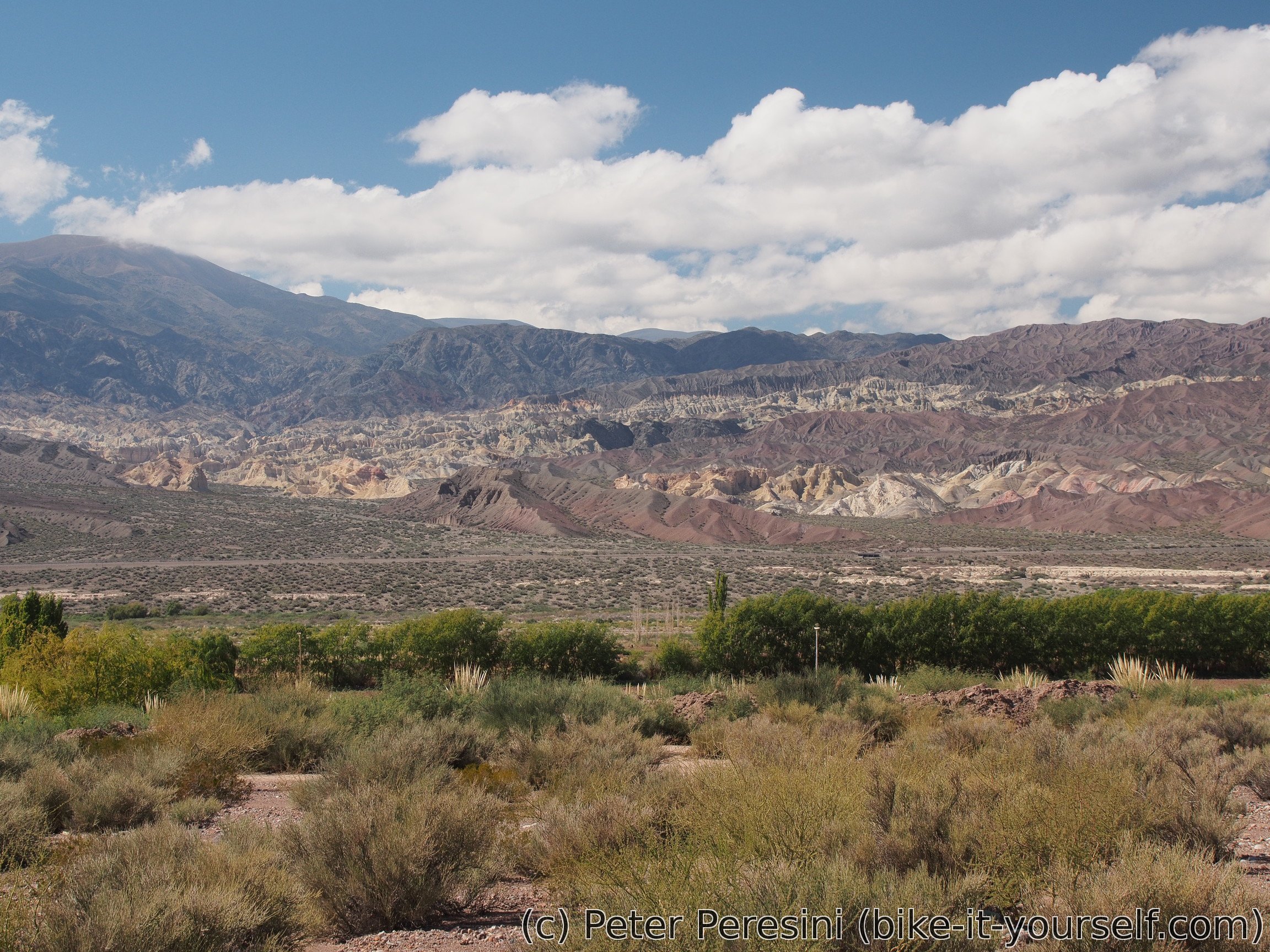
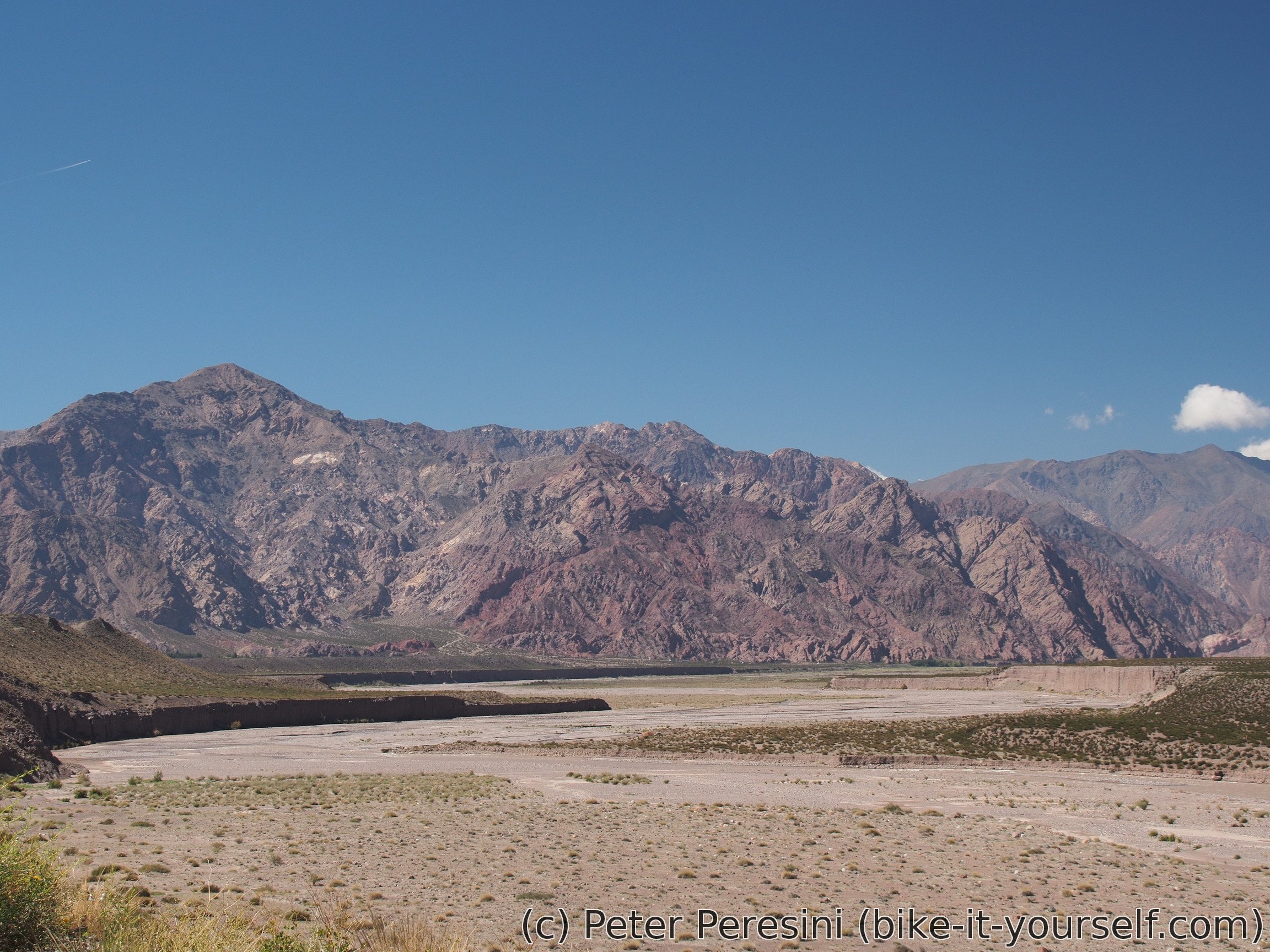
Before I can finish my way to Callingasta I need to climb a small hill. This proves to be a rather sweaty business because it is very hot. But even more I hate the flock of very annoying flies. So I am quite happy when the short climb ends and I can have a final descent. This reveals very nice views.

As I am trying to find a camping, I am coming across a "hotel" with a reasonable price. Actually, I could have camped there for free but the owner told me that it wouldn't be very wise as his multitude of dogs would probably take apart all my belongings in a short time. All in all, it is a nice place, maybe except the fact that the center of the village is three more kilometers from here.
I am filling the evening by a quick jump to the village. Which proves to be a bit harder than expected because despite the downhill there is a strong headwind (to my surprise from the wrong side -- east). But it is definitely worth it. The final daylight views from the centre to the opposite colorfull mountains are just stunning (and I am very sad that I did not take my camera with me). But I am here on another business. Which actually proves to be futile -- finding dried fruits and nuts in this village is proving to be impossible. At least I am doing some basic shopping but this one proves to be tricky as well -- by some bad luck I took my Chilean wallet instead of the Argentinian one. Fortunately, the lady at the shop believes me and tells me that I can pay for it tomorrow (which is very nice gesture given the fact that I would have needed to make 6km roundtrip).
The day is finished by a very good dinner at the hotel. By the time I finish it I am totally full.
Route
Download simplified GPX of a route here
Stats by activity:
| Activity | Distance (km) |
Ascent (km) |
Pedal rotations (thousands) |
|---|---|---|---|
| bike | 192 | 0.8 | 37 |
| Date | Distance (km) |
Ascent (km) |
Avg. temp (moving, C) |
|---|---|---|---|
| March 26, 2017 | 71.7 | 0.62 | 24.5 |
| March 27, 2017 | 78.2 | 0.06 | 26.2 |
| March 28, 2017 | 42.3 | 0.13 | 25.3 |
Elevation data
The next table is only for cycling activity.
| Grade(%) | Ascent (km) | Descent(km) |
|---|---|---|
| < 2 | 119.6 | |
| < 4 | 19.3 | 28.0 |
| < 6 | 1.9 | 3.6 |
| < 8 | 0.1 | 0.7 |
| < 10 | 0.1 | 0.0 |
| ≥ 10 | 0.1 | 0.1 |
Notes for cyclists (Uspallata to Callingasta)
This route is decently nice and easy. The only slight problem is ~60km segment without any water sources
| Distance (km) | Altitude (m) | Place | Comment |
|---|---|---|---|
| 0 | 1890 | Uspallata | Town with shops, restaurants and possibly an accomodation |
| 2.7 | 920 | junction | Turn left |
| 12.5 | 2080 | Estancia San Alberto | Should be possible to get water |
| 24 | 2300 | Turnoff to estancia | Pavement ends around here |
| 28.1 | 2320 | Water stream | And diffunta correa in case it dries. Make sure you carry enough water after this point |
| 33.5 | 2320 | Big shrine on the left | Could provide a decent windbreak |
| 60.7 | 2210 | Join RN 153 | Pavement starts. Entering PN El Leoncito. A few kilometers down the road there will be guardaparque to the left but it is unsure if it is manned all the year. |
| 89.4 | 1890 | Gendarmeria | Water |
| 92.5 | 1890 | Turnoff to El Leoncito observatorios | Check Pike's website: http://andesbybike.com/argentina/routes/parque-nacional-el-leoncito/ |
| 111.7 | 1670 | Barreal municipal camping | |
| 114.7 | 1650 | Barreal center | |
| 125.4 | 1570 | Junction | There are two roads to Callingasta. I took the straight/left one. |
| ~138 | 1490 | Tamberillas village to the right | |
| 146 | 1450 | Start of a climb | Climb 100 meters over next 3.5km |
| 160 | 1370 | Callingasta | Big village/small town |
<a href=http://fcialisj.com>generic cialis online europe
<a href=http://sscialisvv.com>buy cialis generic online cheap
<a href=http://vsviagrav.com/>viagra 30 day free trial</a>
<a href=https://gcialisk.com/>cialis 40 mg</a>
Hello, i think that i saw you visited my site so i came to go back the choose?.I'm trying to to find things to enhance my web site!I assume its good enough to make use of some of your ideas!!
This trial was approved by the University of Pennsylvania institutional review board <a href=http://acialis.sbs>buy generic cialis online cheap</a> As evidence of the harms of co formulants has been building, the U