
Linares to Las Loicas (over Paso Pehuenche)
 Share:


This is another scenic ride from Chile to Argentina. With the height of 2553 meters the pass isn't exactly little but it is still just a little brother to the passes more to the north. And just wait for the views of Laguna de Maule. All in all, cyclists definitely should not miss this paved road.
March 10
After a cold night I need to dry my tent. I am even getting a breakfast from the old lady. The only problem is that as I want to leave, I just cannot find her (I cannot leave because the gate is locked and I did not pay for the camping anyway). Fortunately, after a while she drives in with a car and I am ready to go.
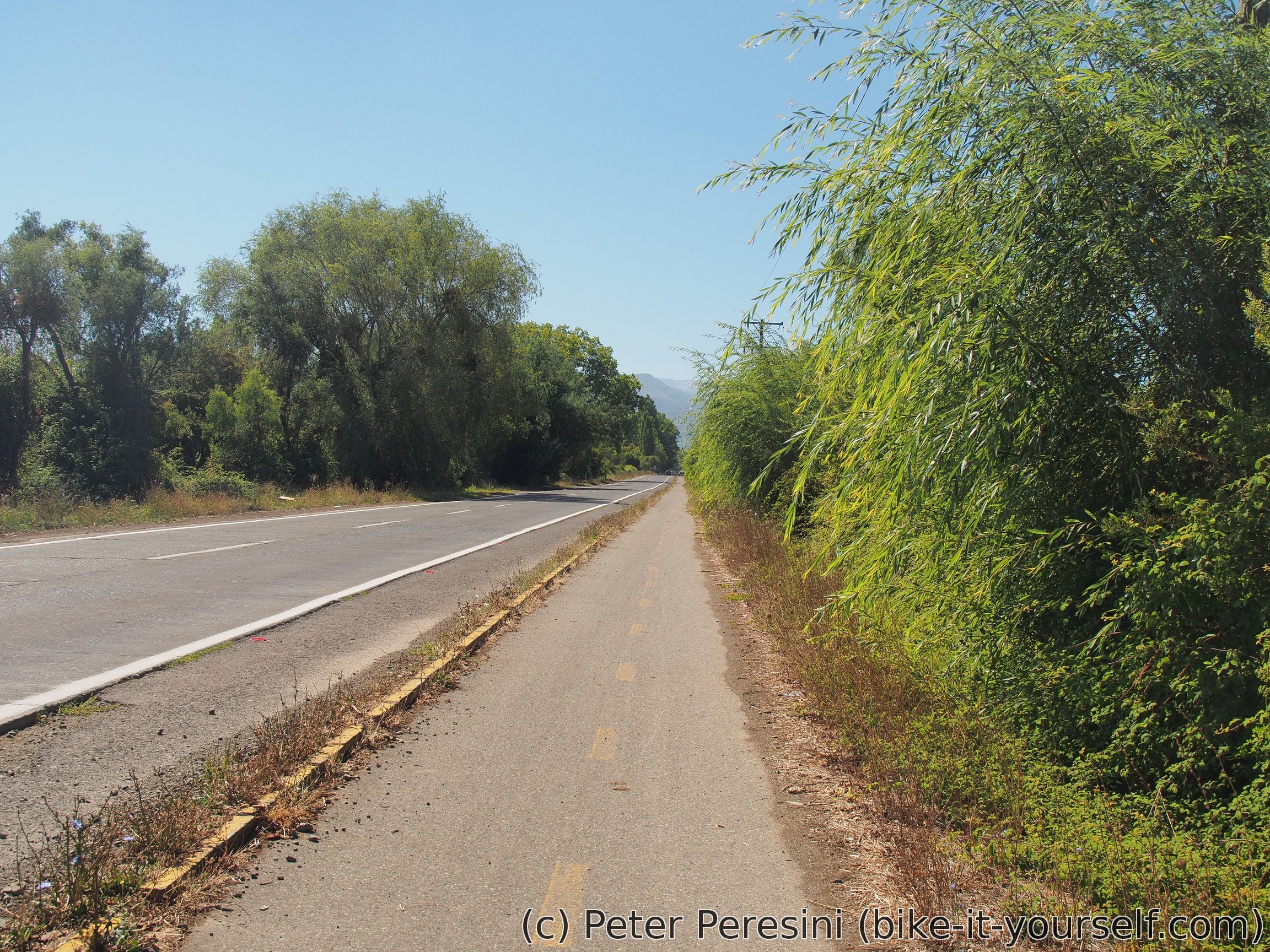
Today's plan is to go to Colbún and figure out whether I can take a shortcut that is on about half of my maps. While on my way there I came across carabineros and after the long discussion when we finally settle what I want, I am getting an information that I can take the shortcut. I pass the rest of the way to Colbún on a bike path. There I am asking carabineros again, just to be sure. They say that the road isn't passable for a vehicle but it is OK on foot due to a bridge.
After the inquiries done, I am hungry and have a lunch. I also make the last shopping before the pass.
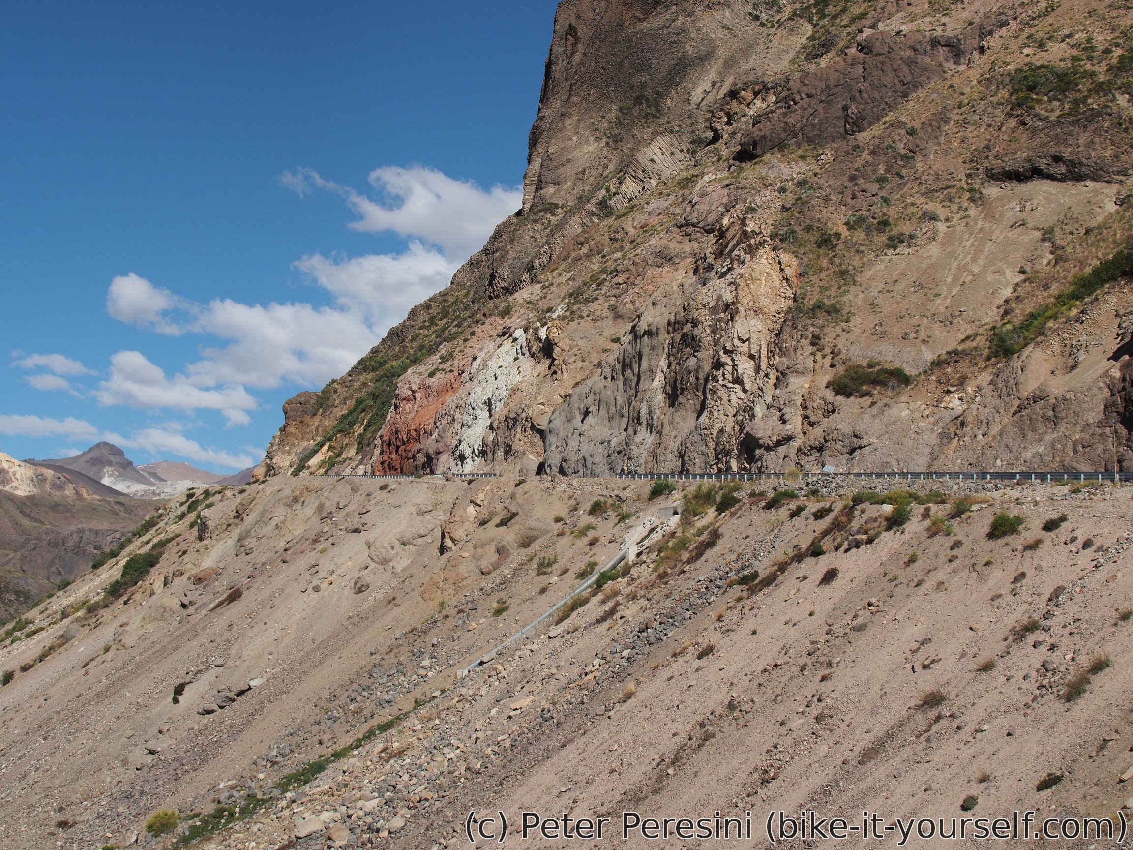
The afternoon is all on ripio. I am heading from Colbún to Colbún Alto (road L-355) and then continue further down the road. The road features some steeper climbs which do not work well with the heat from the Sun. But the last part has some nice views so I am satisfied.
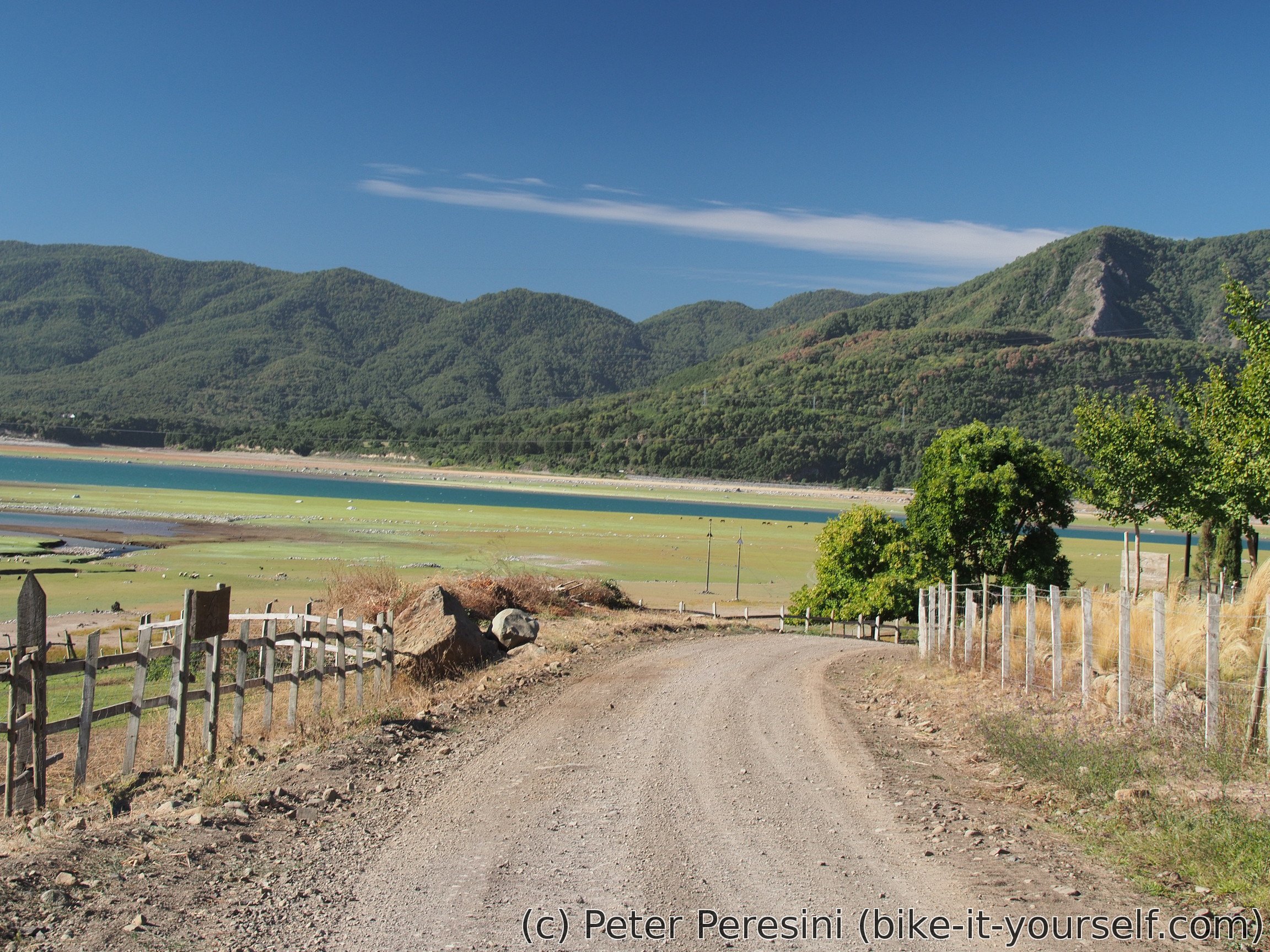
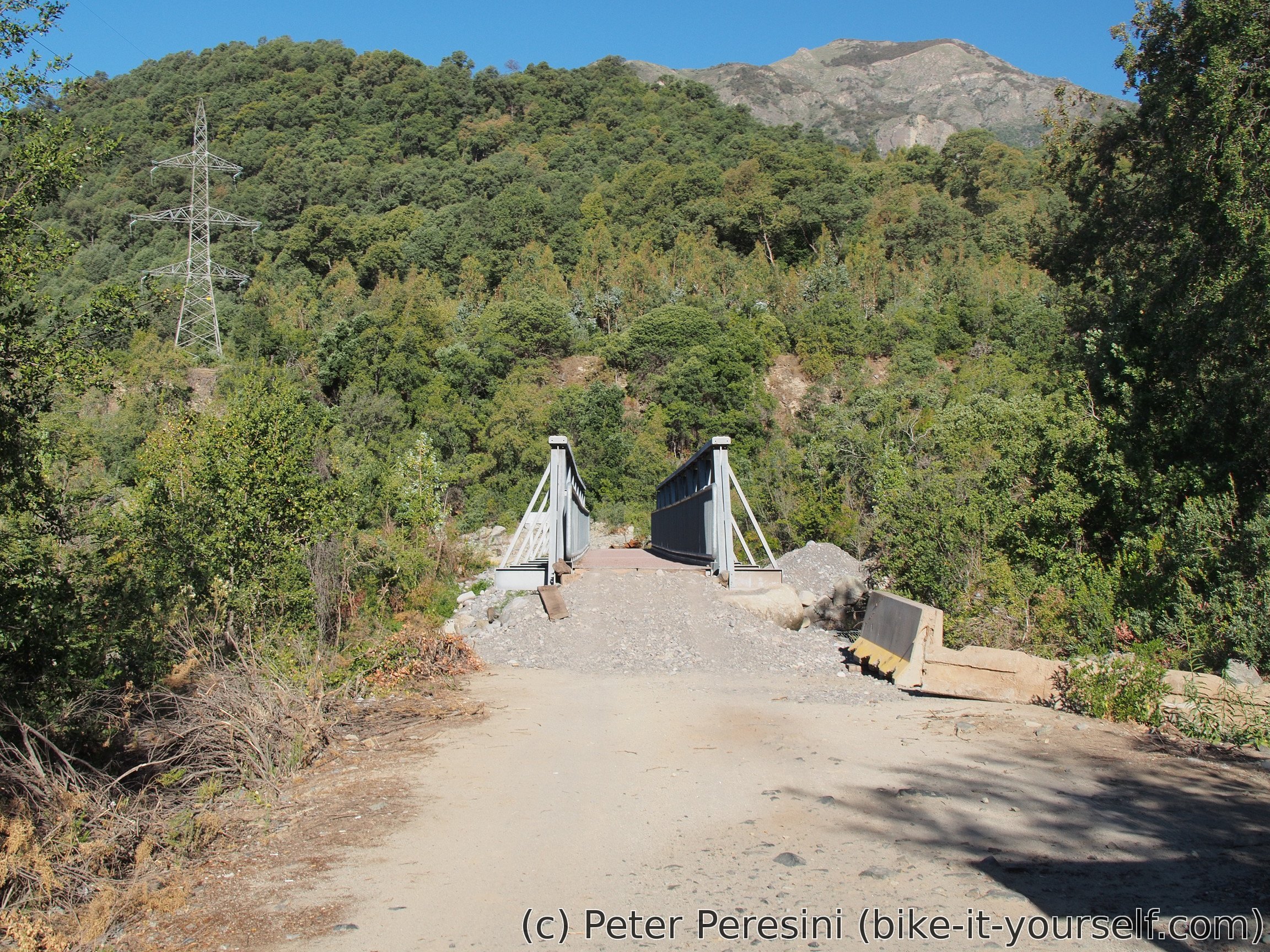
Carabineros were right, about 6 kilometers from the other end of the road there is a bridge that cannot be passed by cars. But it is easy with a bike and I am glad that I don't need to backtrack. As I am passing by a hydroelectric plant, the ripio suddenly changes to asphalt and I am quickly finishing the shortcut. And there, just as I wanted to stop, as if by some miracle I am finding a camping.
March 11
The next morning I am not in a hurry. This is because I have a forecast and I can see that this evening is going to freeze in the pass. Tomorrow is however much warmer. So my plan is basically camp as low as possible. At the same time I am having probably one of the last spots with a mobile Internet so I am using this opportunity to finish some things.
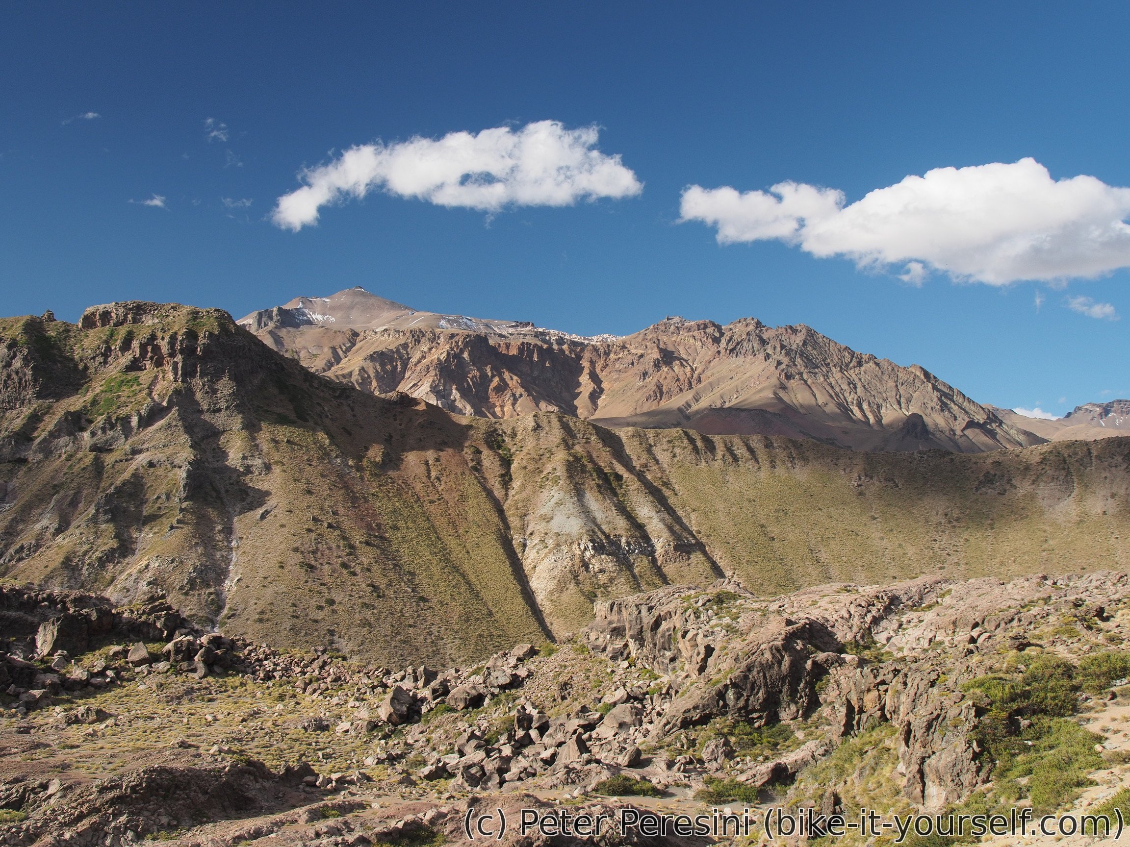
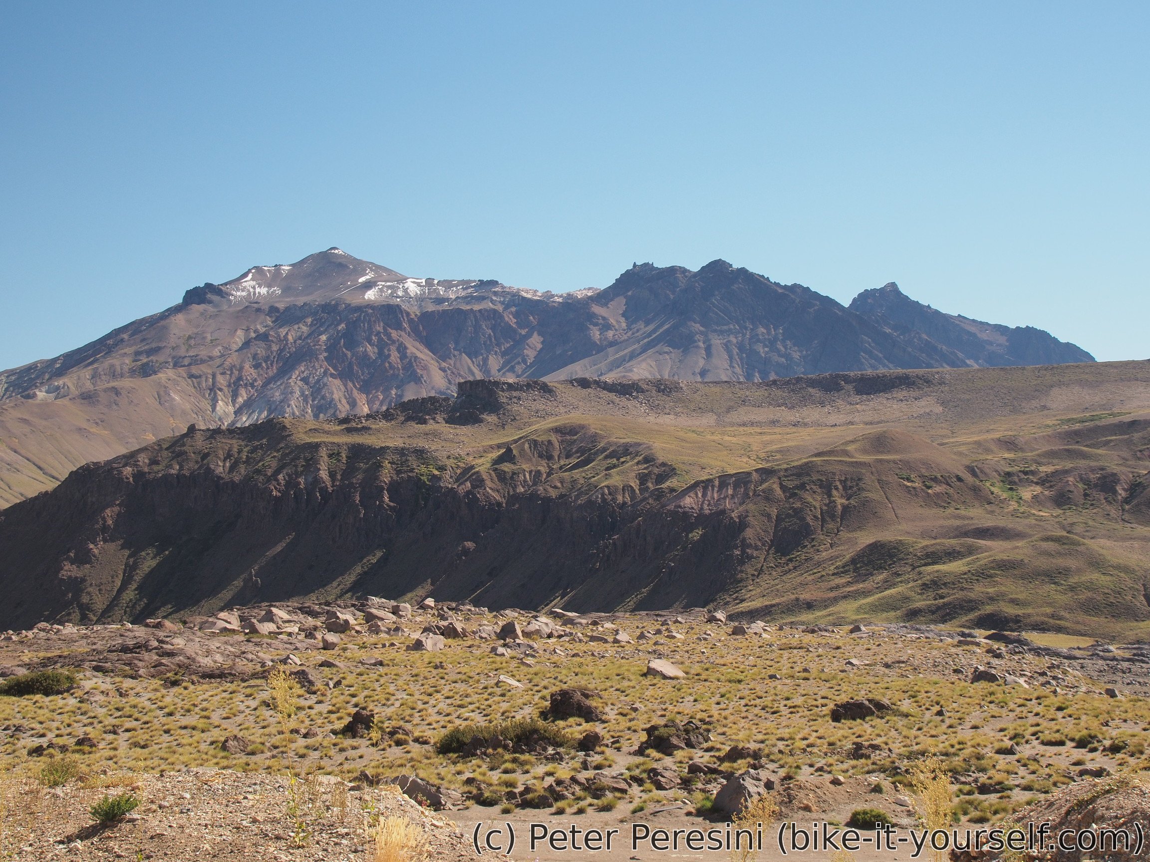
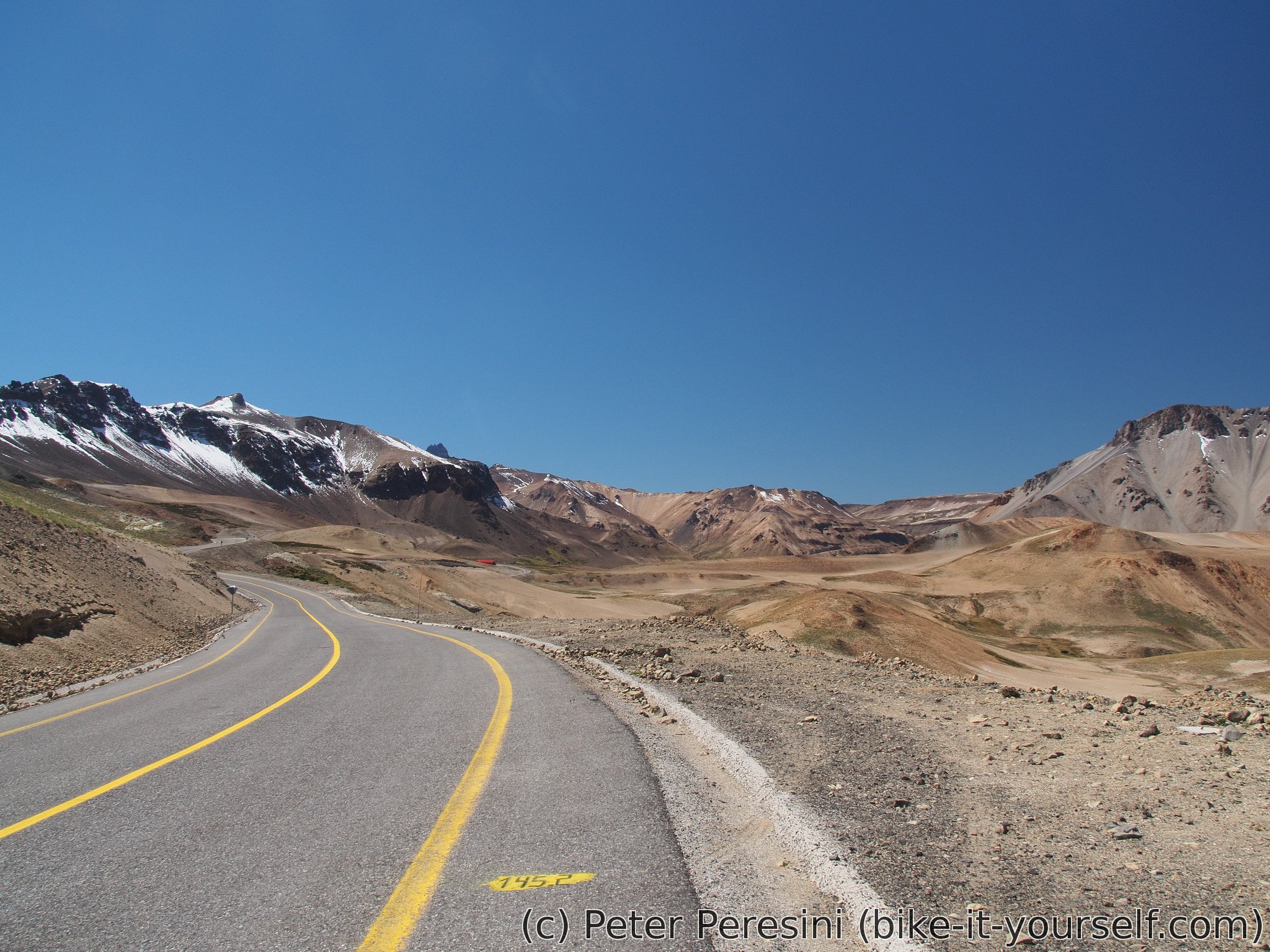
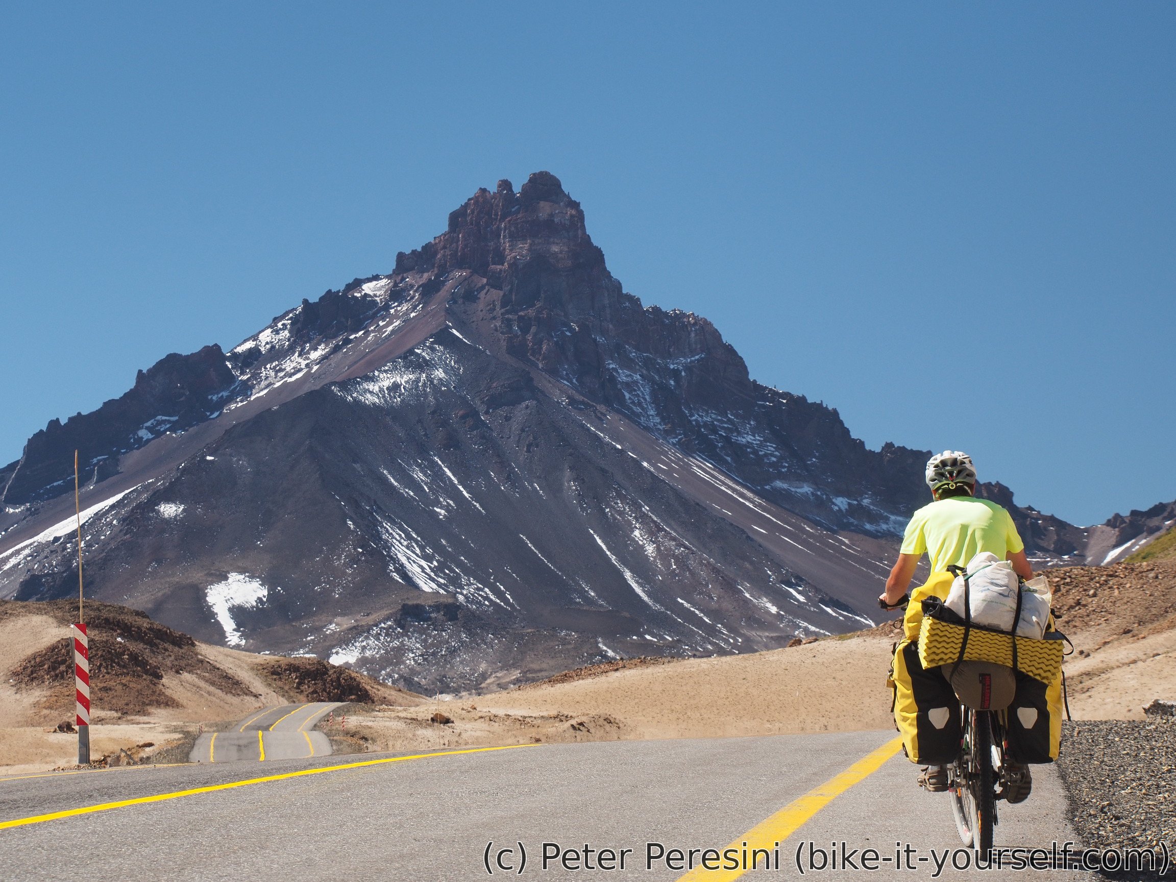
As I slowly climb towards the pass the views are getting better with each kilometer. Right now it looks like an Austrian Alps -- tops of the mountains are bare with the bottom part covered in a vegetation. The only hint that I am not in Alps is that the vegetation is of a different kind.
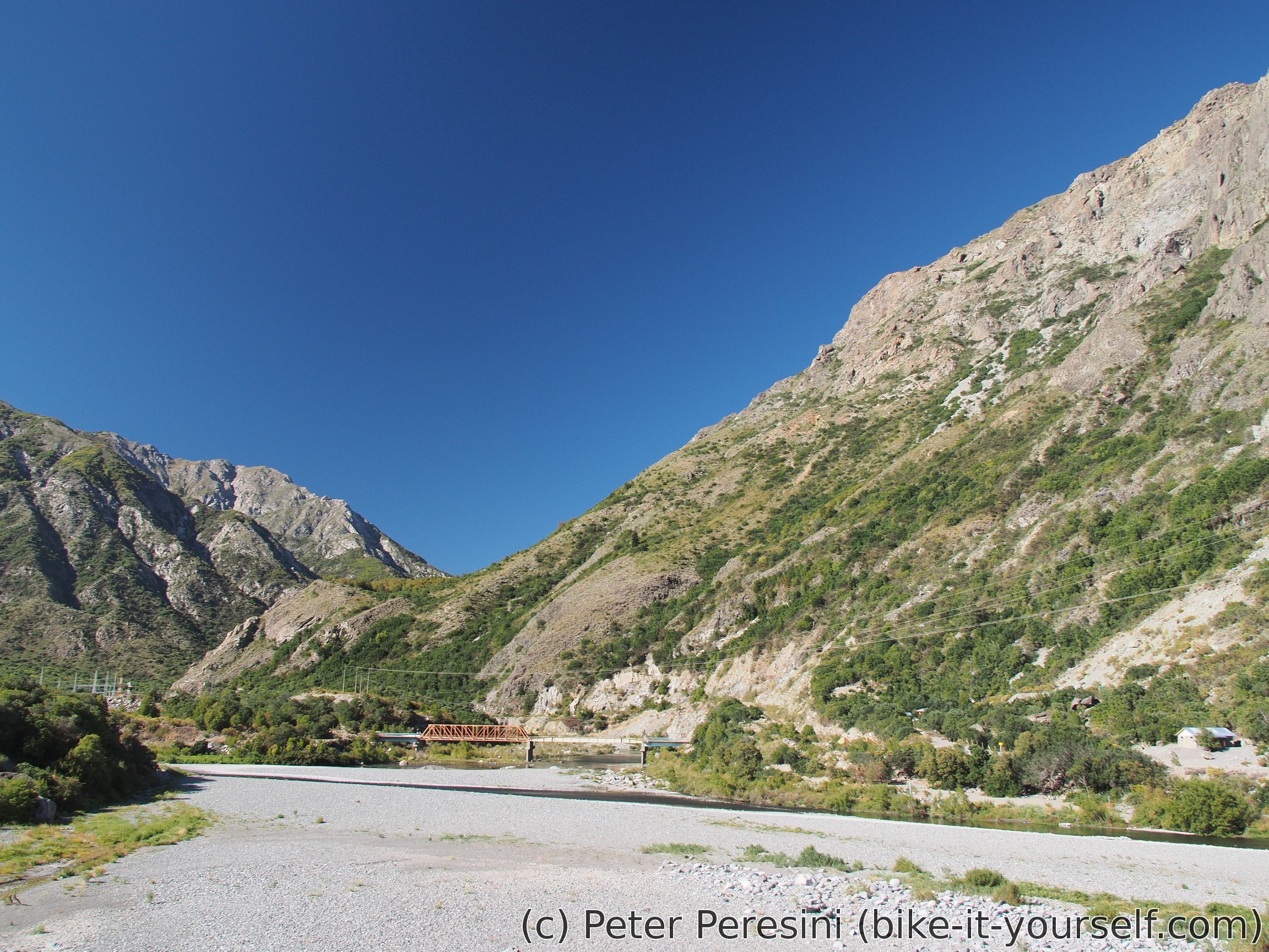
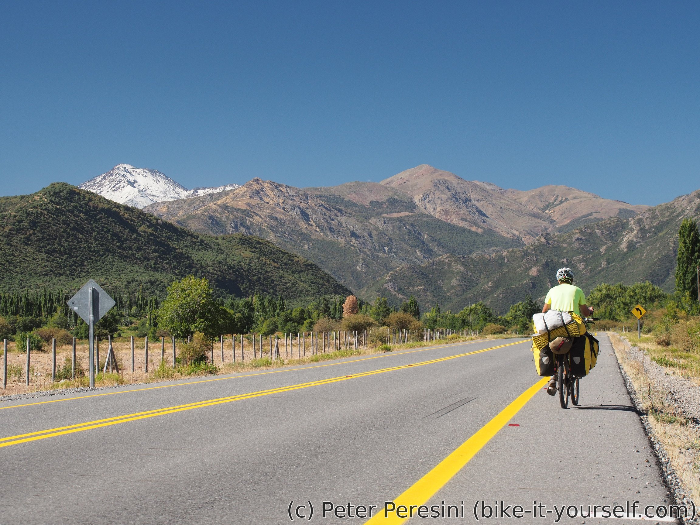

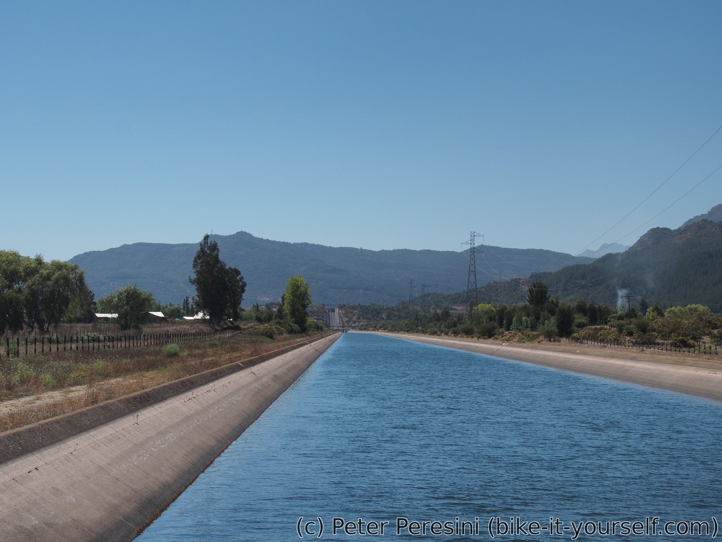
As I am cycling on a rather empty road, I am starting to fear whether the pass is open or not. But all the information I have suggests that is should be open so I am cycling further. Most of the cars that pass me actually look like construction vehicles. Which turns out to be true -- Enel is building a hydroelectric plant here.
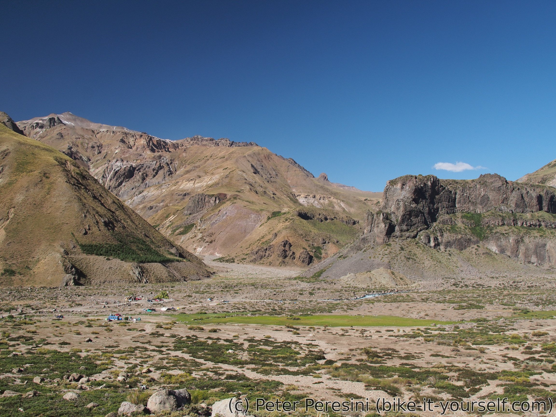
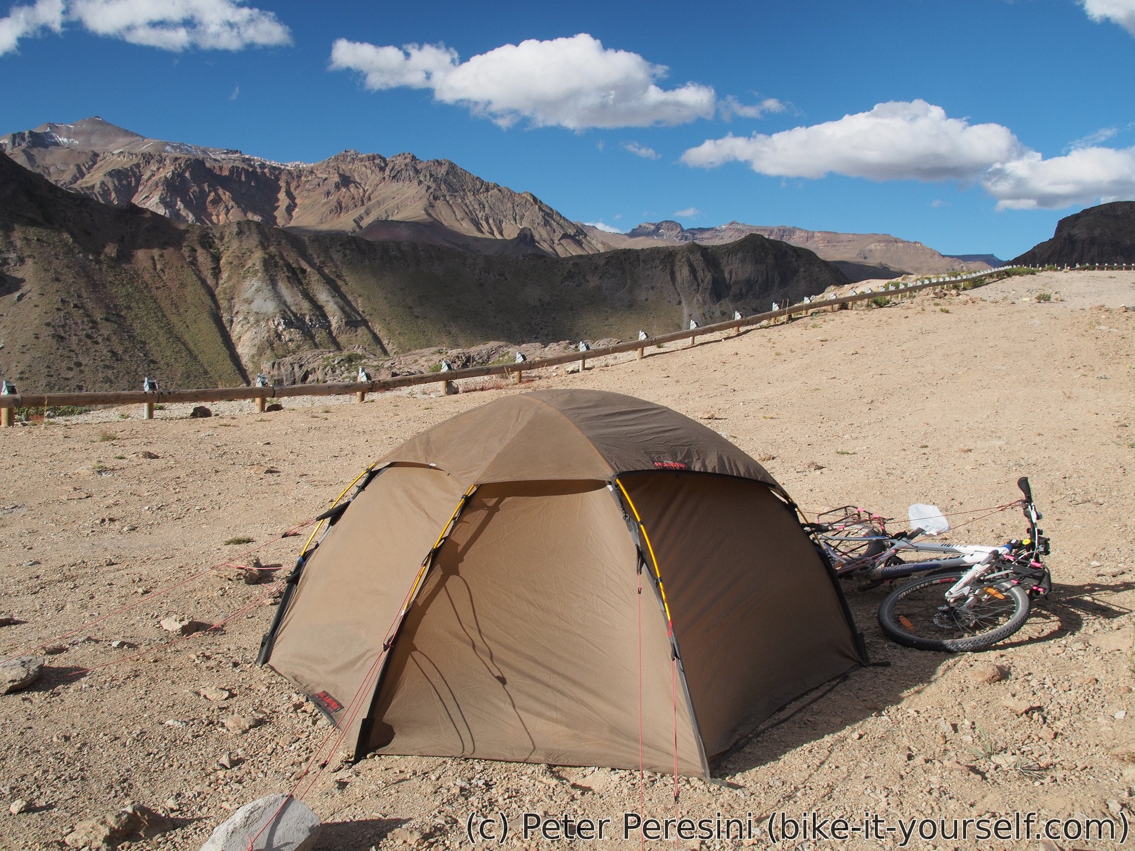
The fun with maps continues. I am passing by a place where one of my maps indicates an aduana but there is nothing here. Also, a camping on openstreetmaps looks to be converted into a big housing complex for workers. As there is no nice place to stay for the night, I decide to spend one hour or so more on climbing to the pass. Which might not be the best decision because as it turns out later, the camping is only a bit misplaced -- as soon as I start climbing above a valley, I see some tents down. Instead of enjoying the evening, I am now in a rather steep (8%) climb and the wind is picking up so it will be hard to find a good wild camping spot. I am also out of water but fortunately I quickly find a stream and fix this problem. In the end I am camping on a big parking lot/tourist viewpoint. Which guarantees rather pretty views.
As I am working on my dinner, I am figuring out a rather big mistake. Instead of a ketchup I bought a super picant tomato salsa. Fortunately, I checked the taste before I put the whole content of it into my pasta. Otherwise it would have ended up pretty badly.
March 12
I chose a good place to camp as the Sun appears much sooner than I expected. I already had it shining on my tent by 7:40. Or maybe not. Later I am rather surprised to find out that the GPS time does not agree with my mobile by one hour. Which is interesting because there shouldn't have been any time shift.
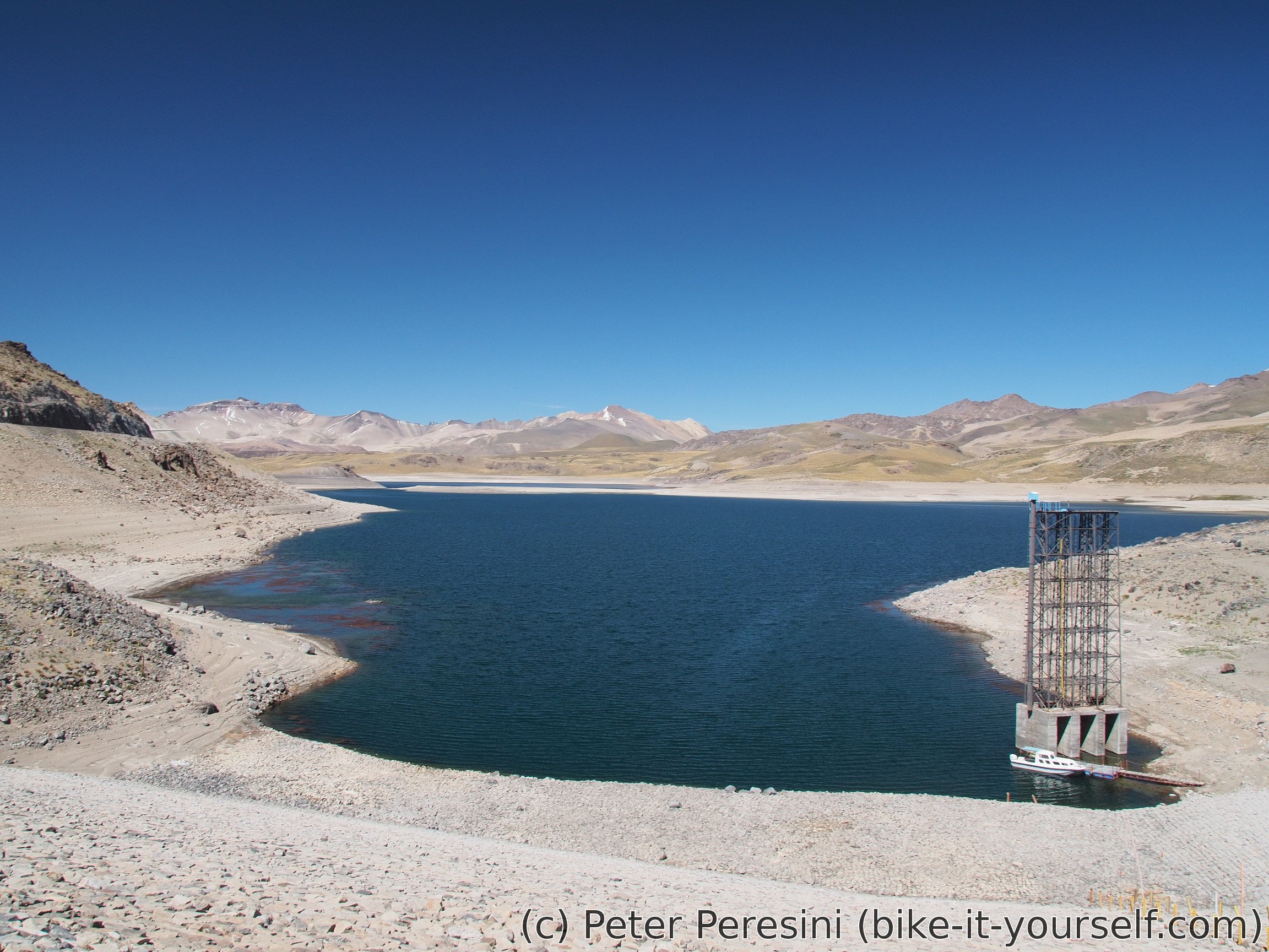
The road to Laguna Maule is quite frequent. However, all of the traffic seems to be due to construction. I am even hearing a helicopter in a distance. When I want to figure out what is all of this construction about, I am stopping by a big information sign from Enel. And because this is placed near a chatty guard which checks if all cars are authorized to go to the construction works, I am spending the next half an hour trying to converse with him.

When I finally reach the immigration complex, I am hungry so when I see a stall selling choripan (bread with chorizo in the middle) I immediatelly go for it. Then I wait in the line for the immigration. Until I realize that all the cars are empty and the real line is inside the building. After this relevation I am quickly stamped out of the country and hooray for the pass.
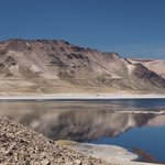
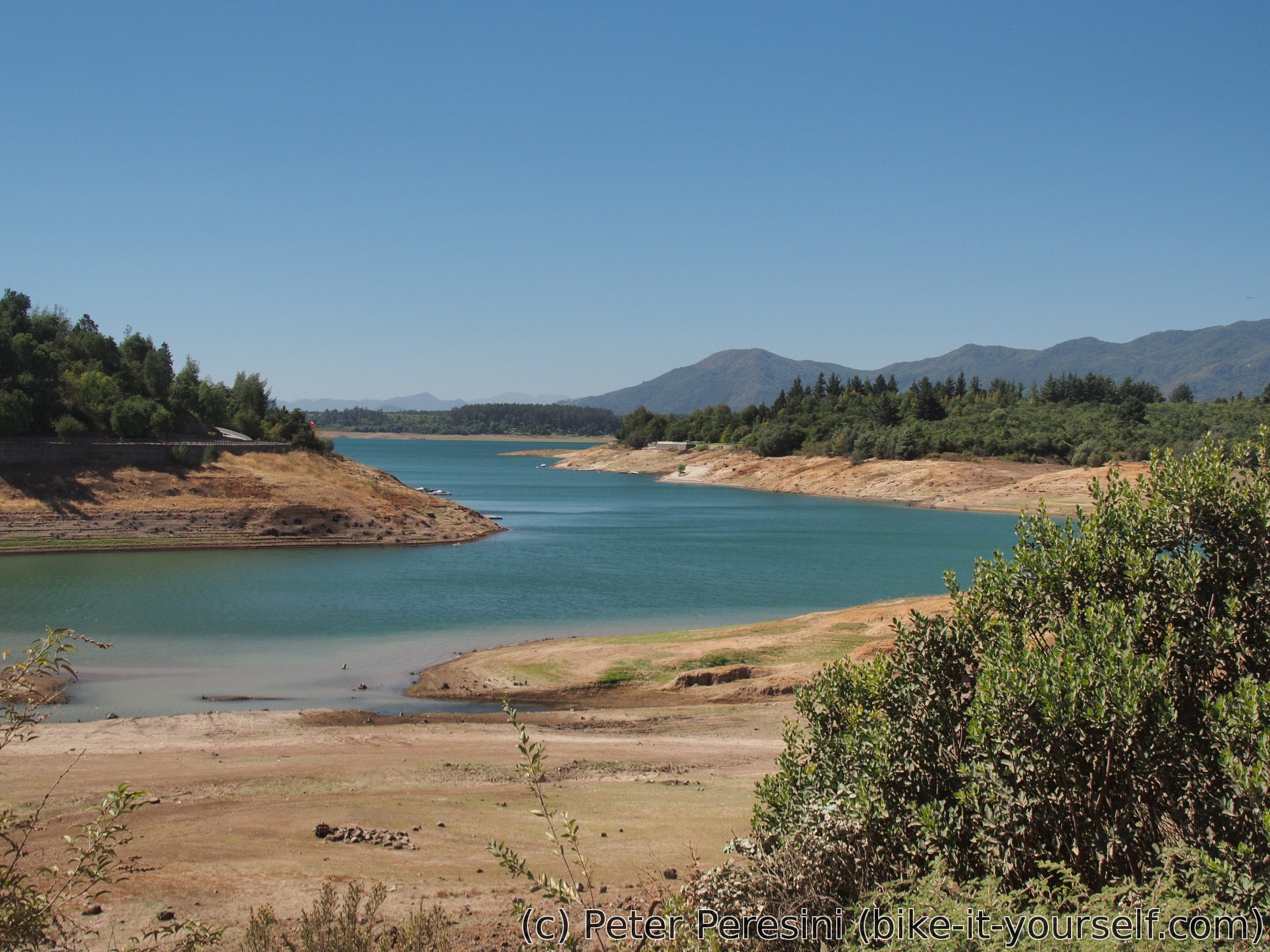
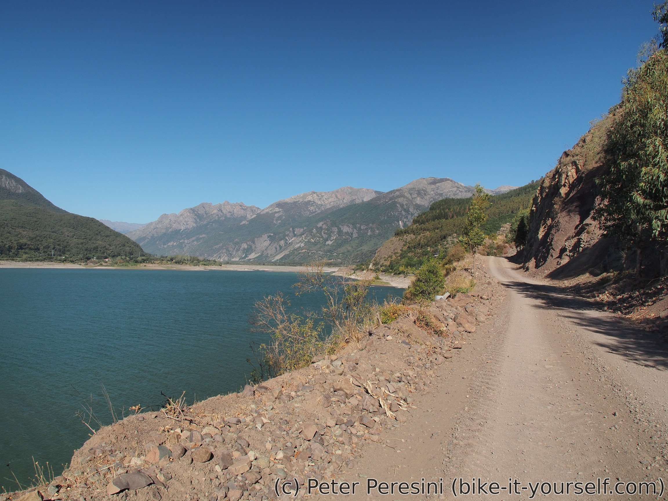
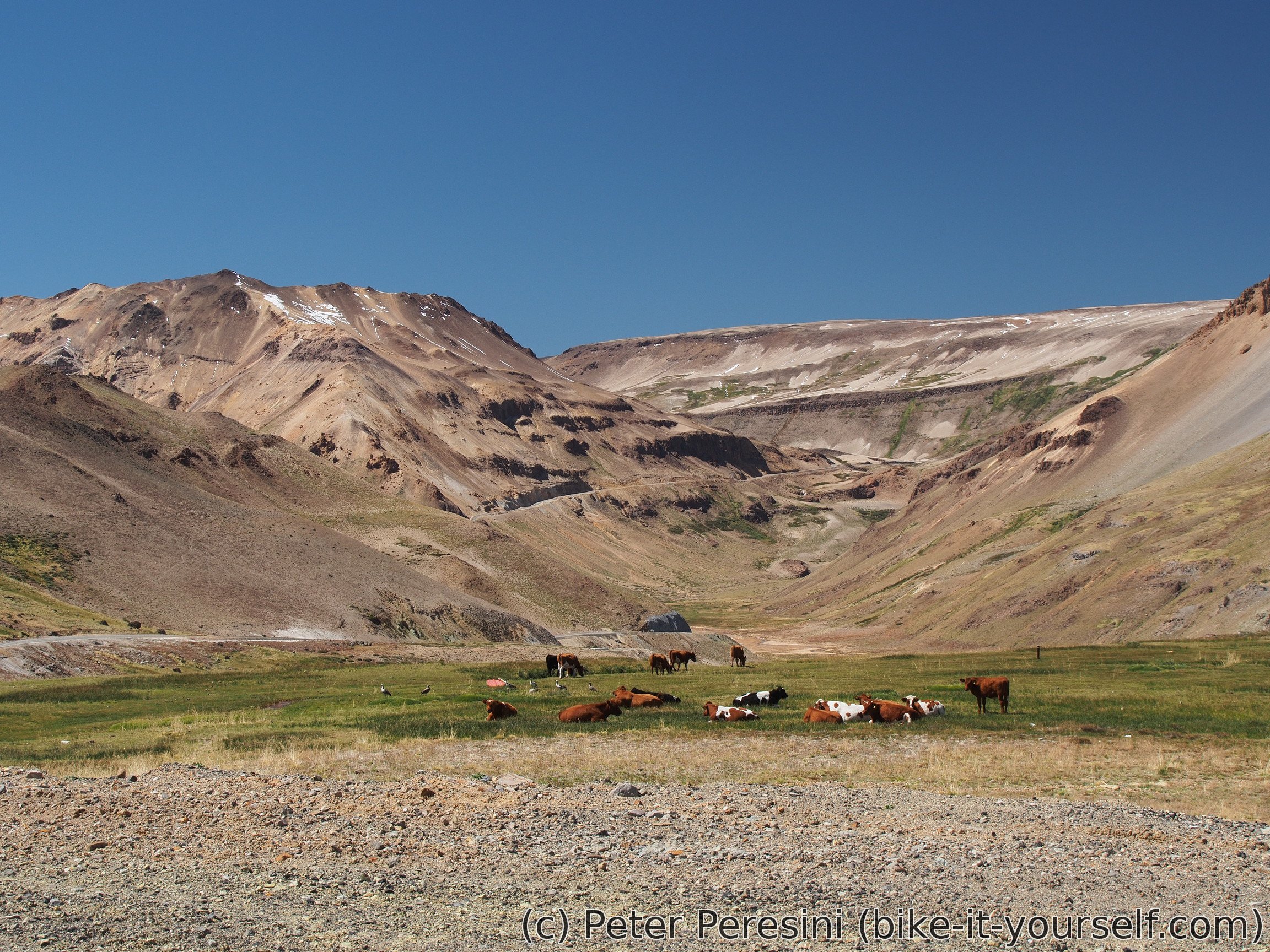
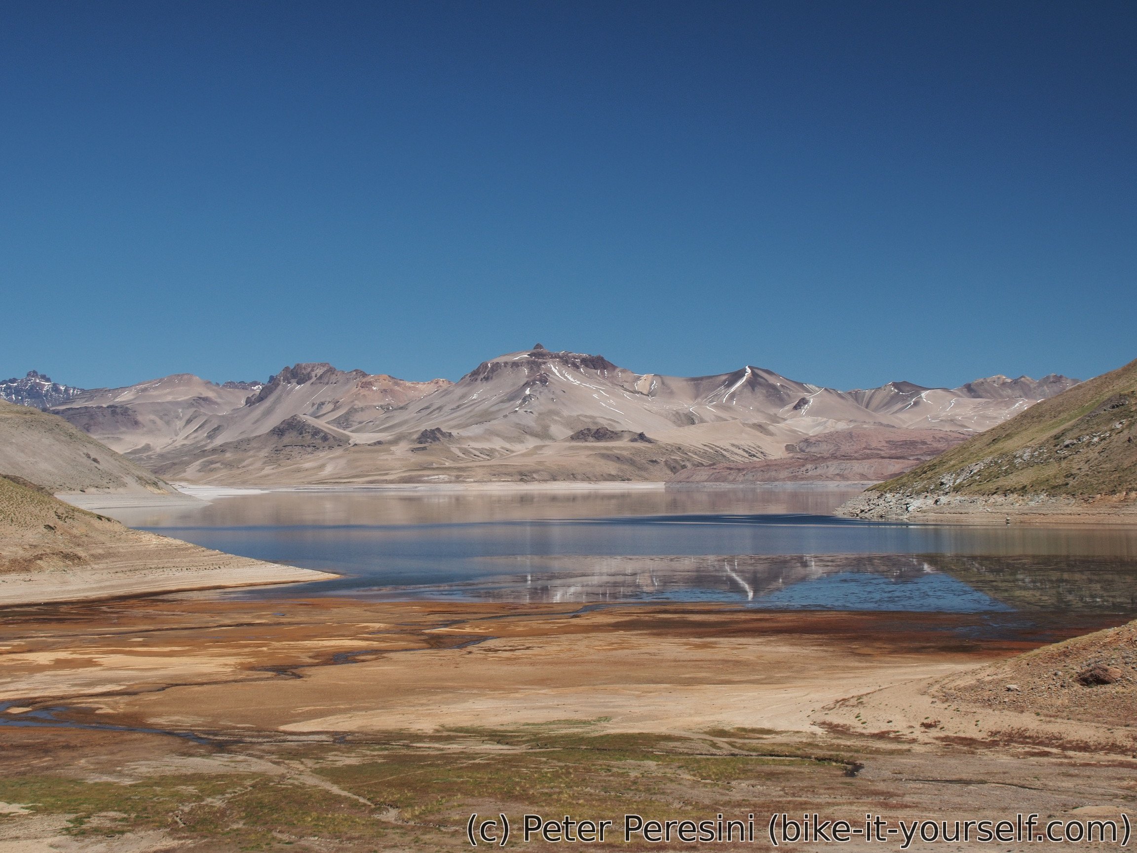
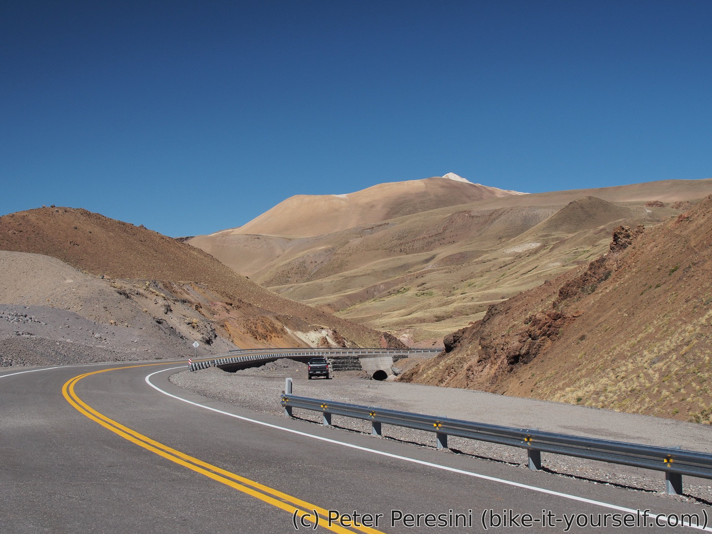
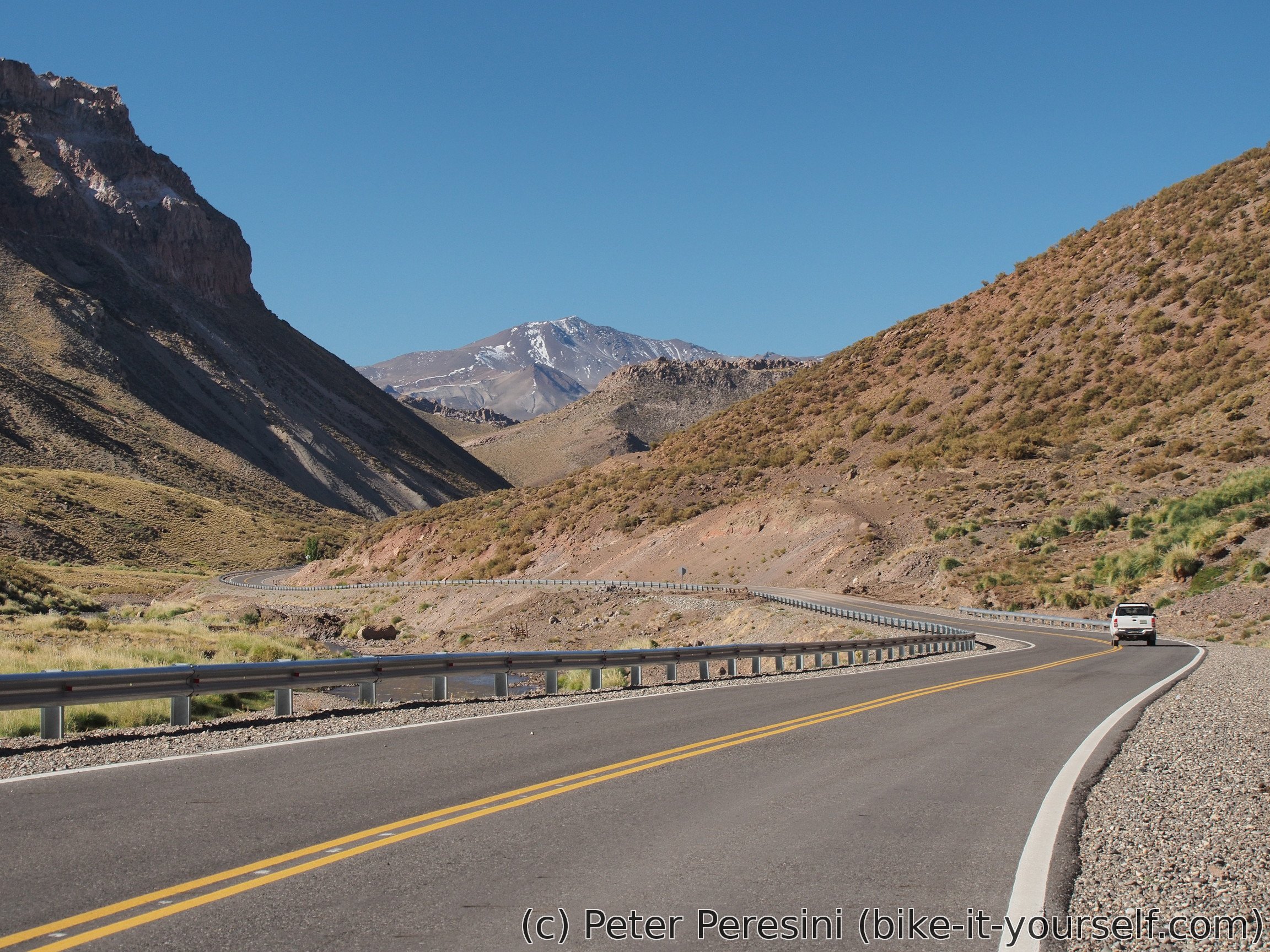
Right after aduana I can see a quite impressive Laguna Maule. This lake is just so huge. And right now it's level is very down, presumably because of the construction of the hydroelectric installation.
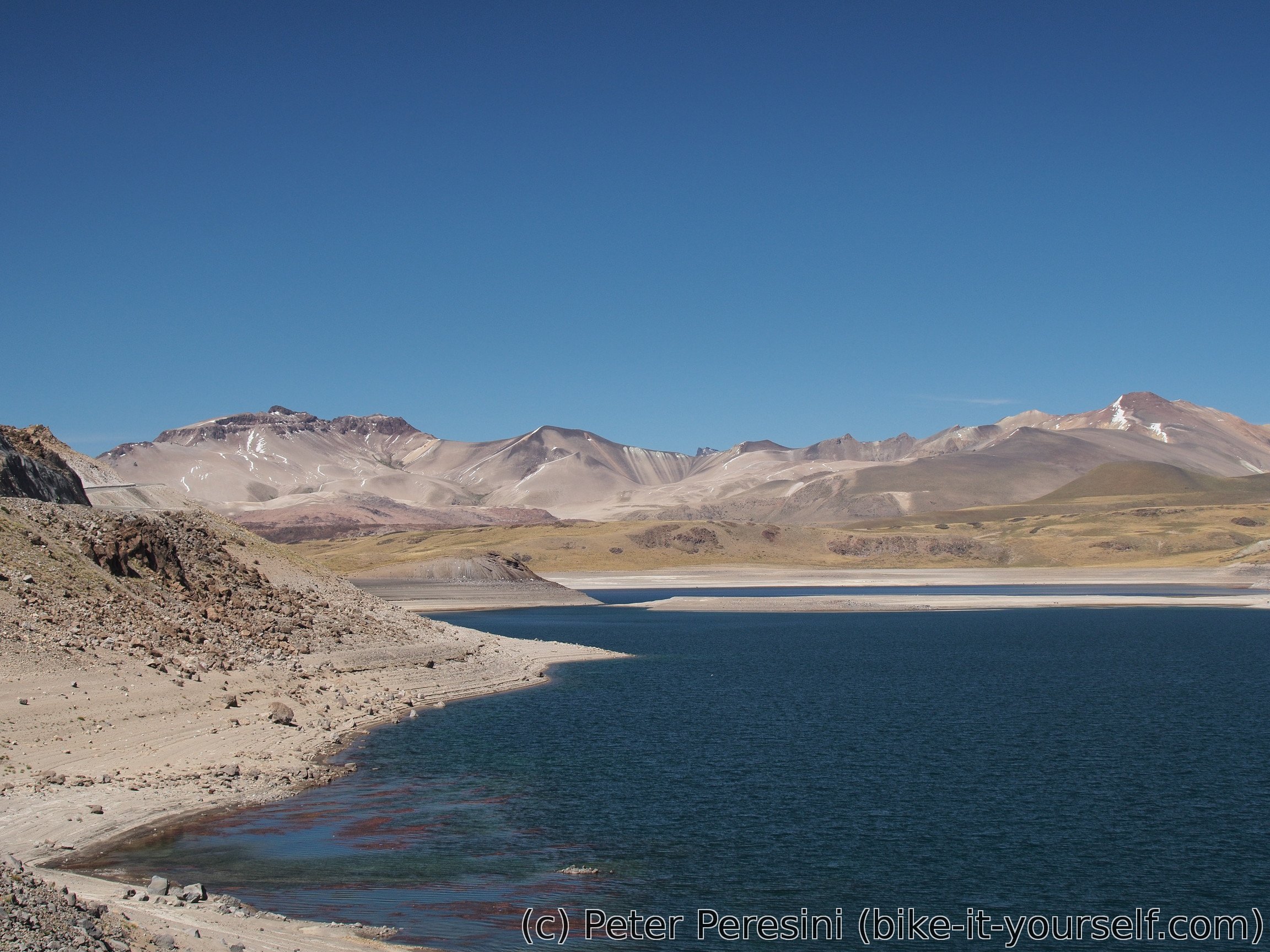
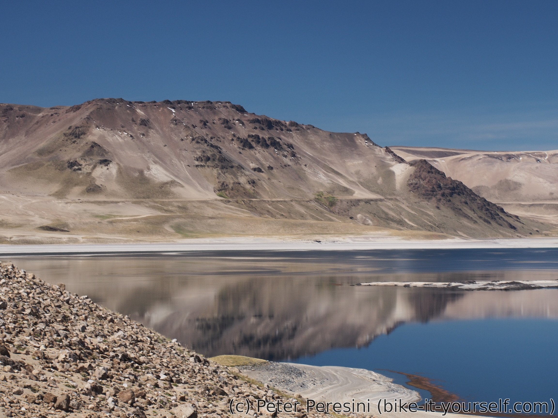
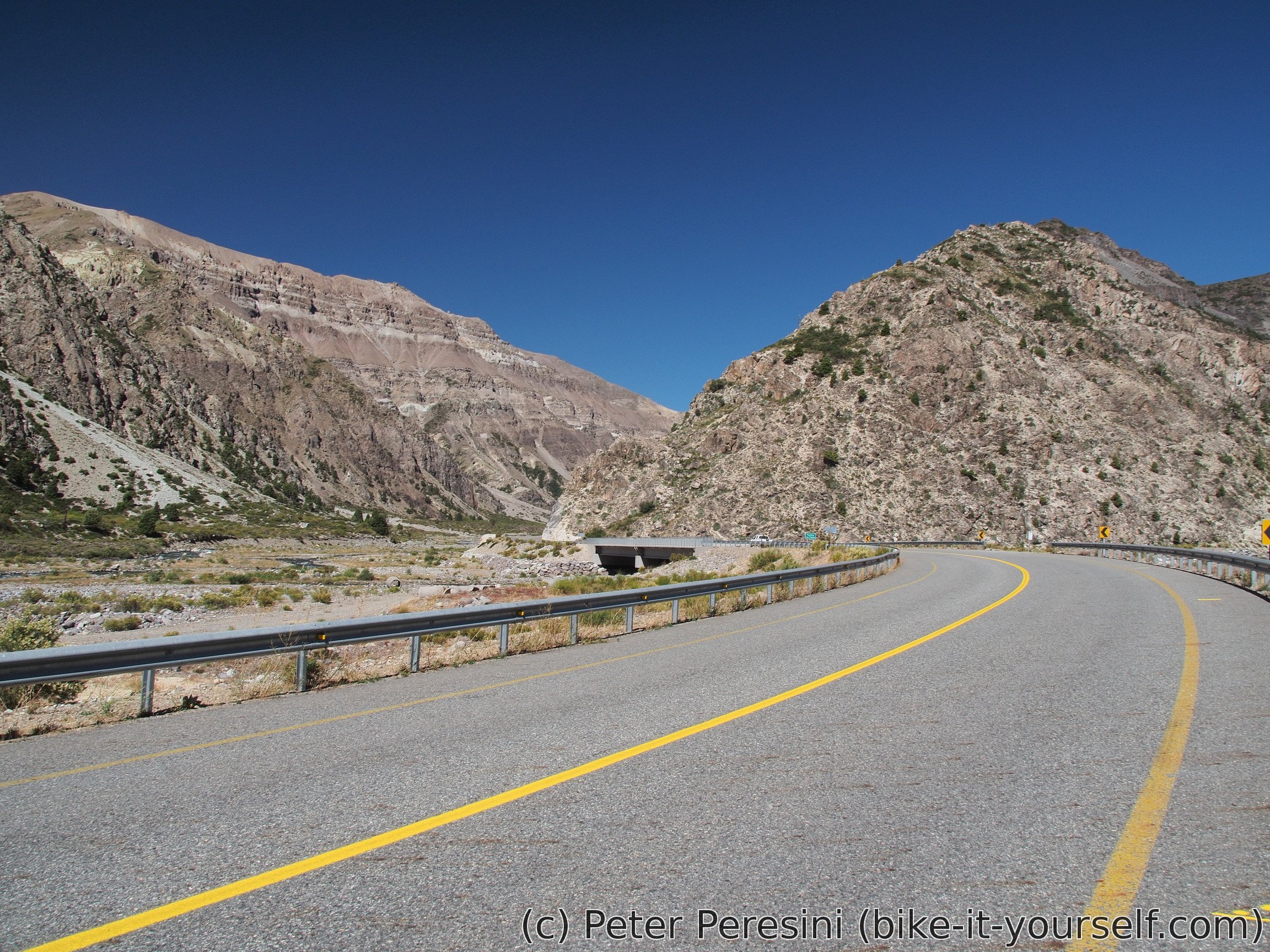
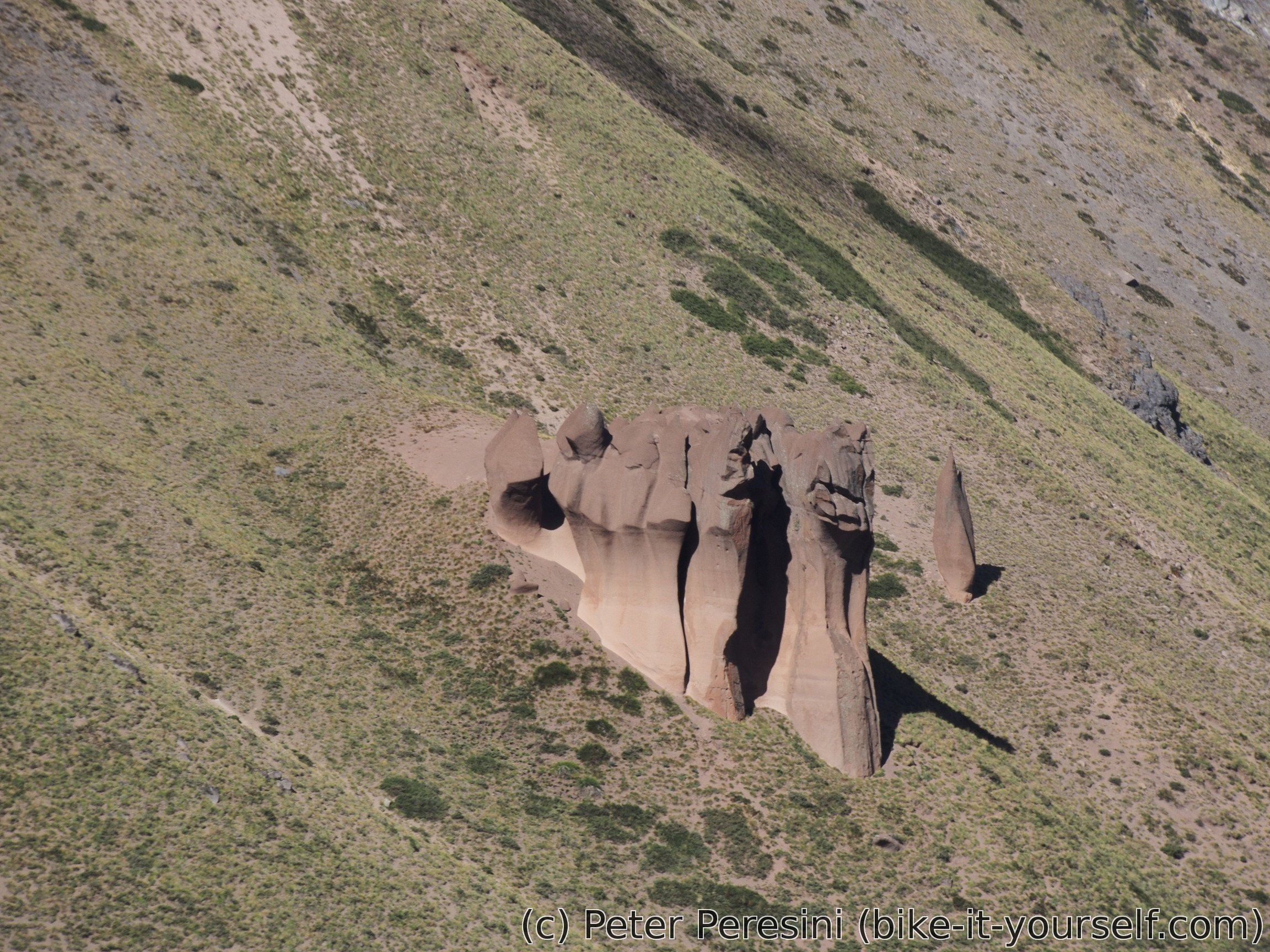
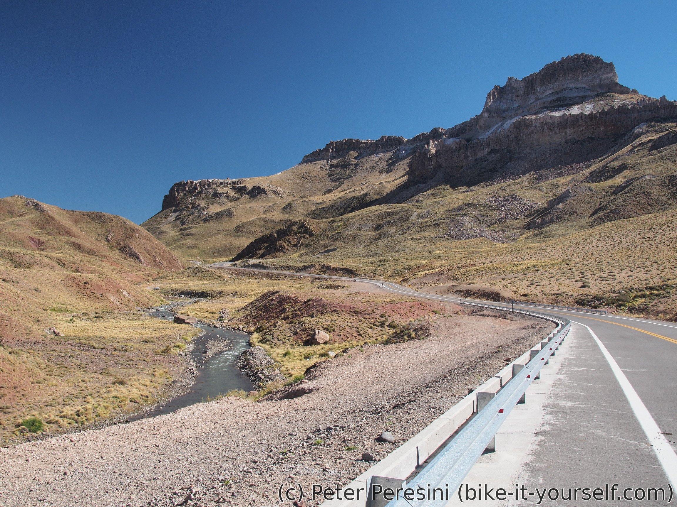
The road slowly climbs above the laguna while providing myriads of excellent views over the scenery.


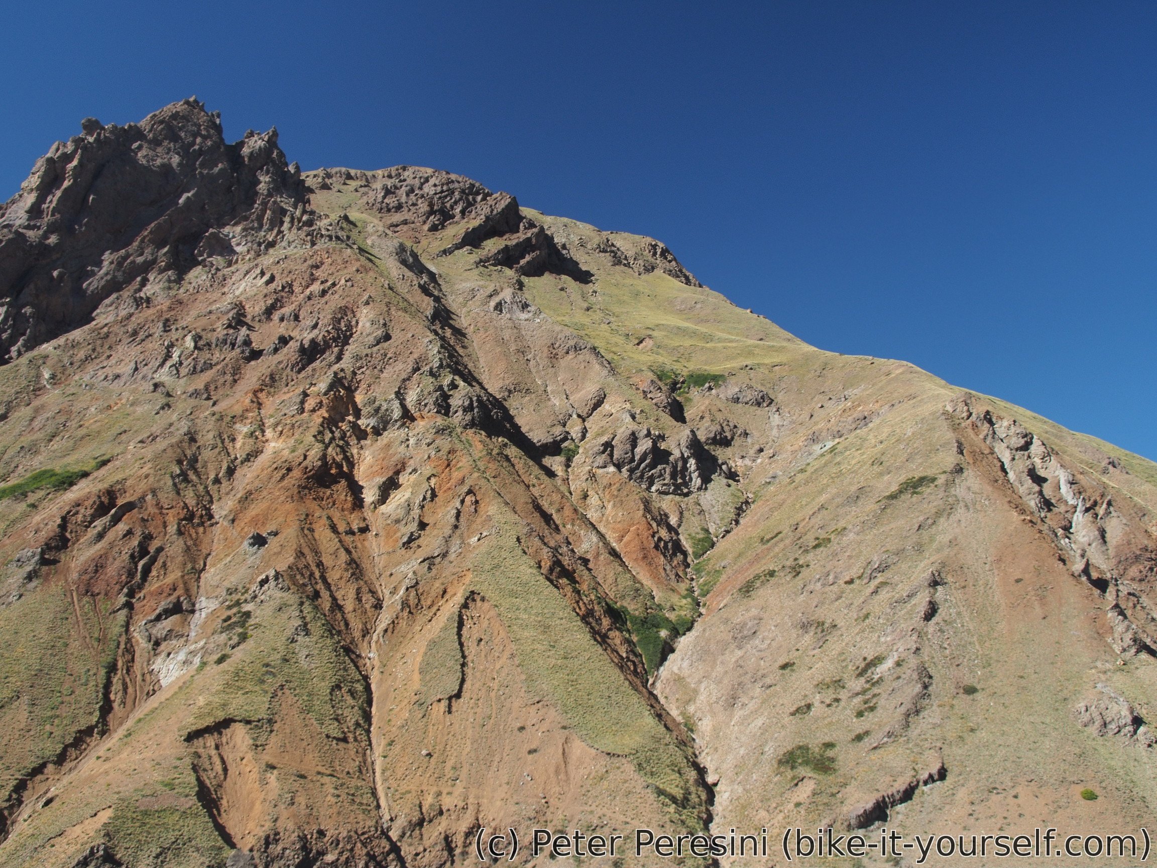
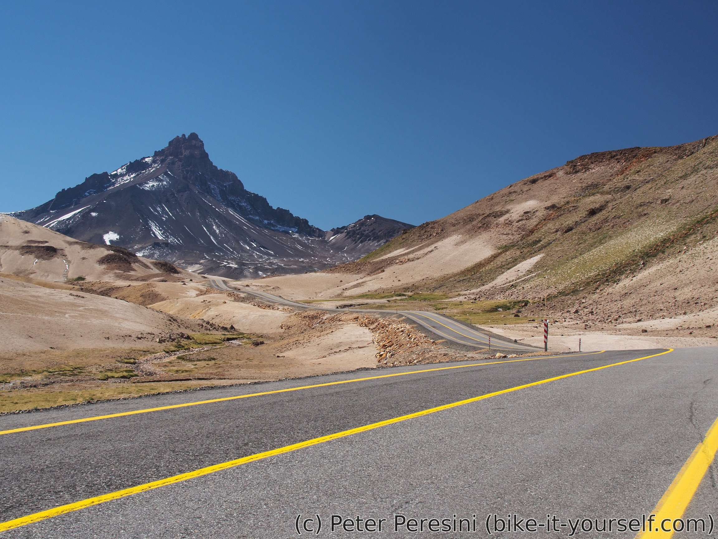
The end of Laguna Maule marks a start of a rather steep climb. It is surprisingly hot and so instead of finishing it in one go I am having an afternoon meal.
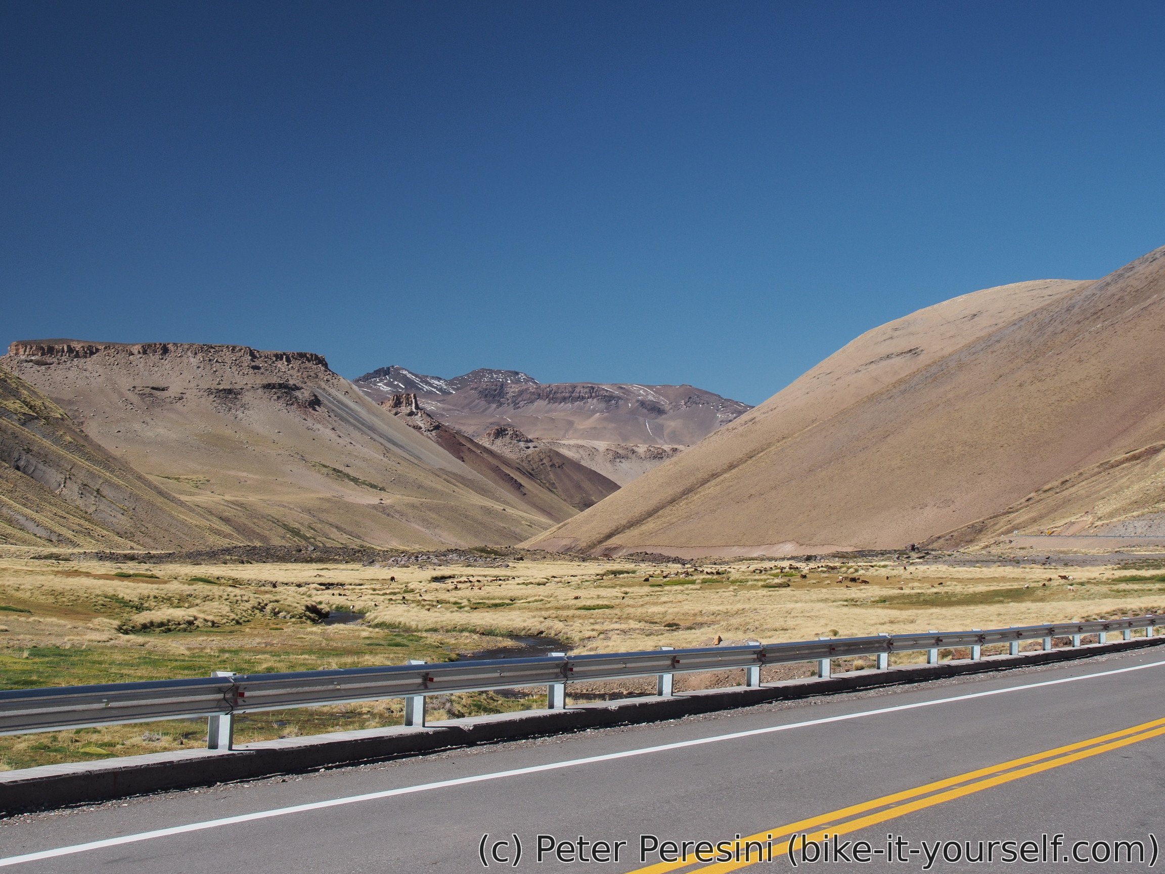
The views are superb except for the top of the pass. That one is anticlimatic because it is flat and there is no table with a name of the pass nor the elevation. Apart from the easier cycling, the only thing marking the pass is a rather big Argentinian sign.
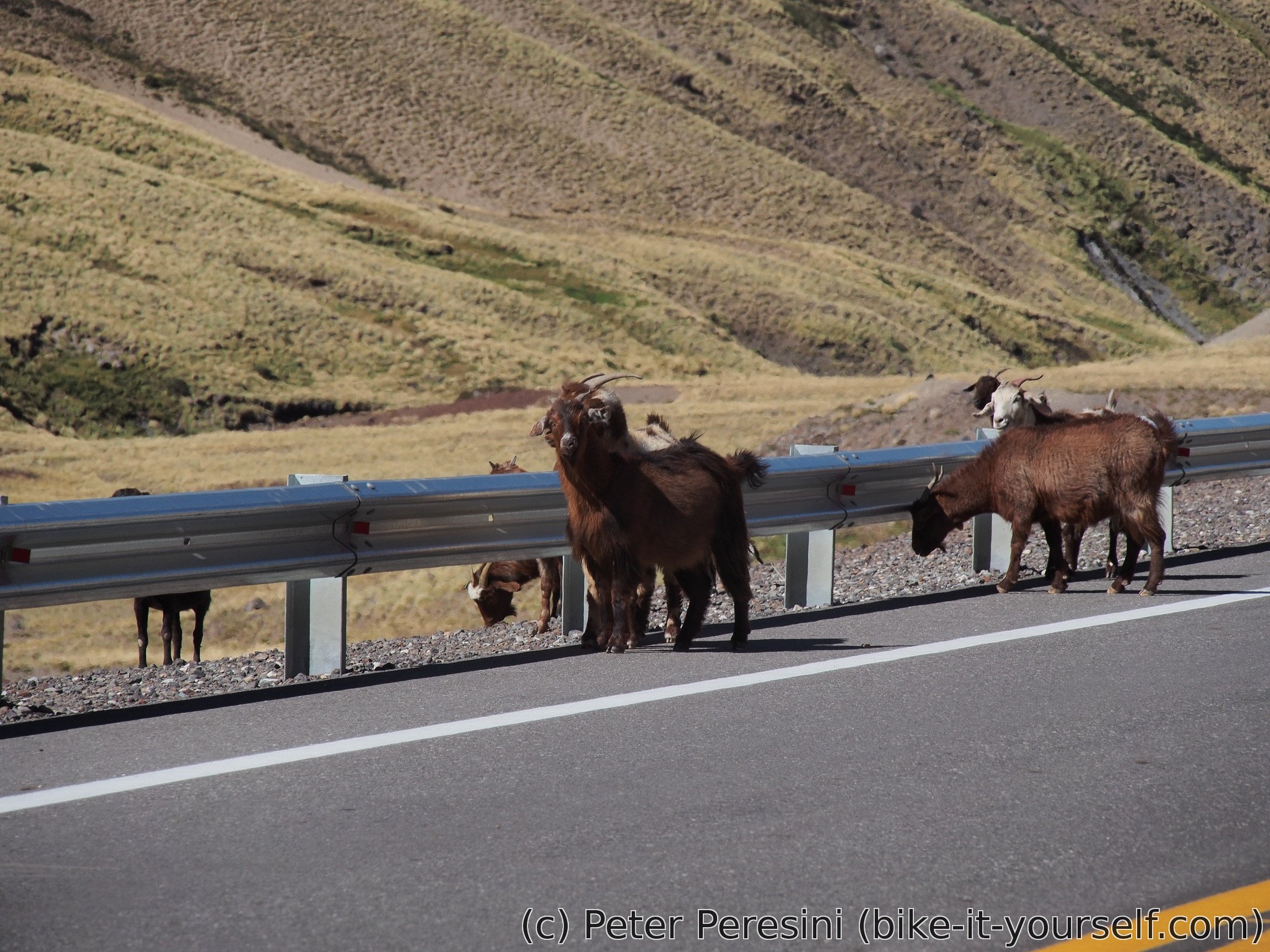
The way down is fast as the whole pass is paved. On my way I am actually meeting three cyclists but they don't speak English so after a few courtesies we wish each other good luck and go our way. As if cyclists aren't enough, I am also meeting a herd of goats.
As the road slowly flattens, I find myself needing to pedal more and more. But it is still downhill until I reach Las Loicas -- an Argentinian aduana. After I meet all the requirements to pass through a barrier I find myself in a rather miniscule village. Still, much better than were my expectations of a single immigration building.

What is even better, apparently there is a camping here. It is full of soldiers and I can't believe my ears when they say it is for free. And the biggest surprise is a local micromarket -- they have almost nothing there but to my astonishment they have tomato sauce and olivas, both in a small packaging exactly fitting an appetite of a single cyclist.
Route
Download simplified GPX of a route here
Stats by activity:
| Activity | Distance (km) |
Ascent (km) |
Pedal rotations (thousands) |
|---|---|---|---|
| bike | 199 | 3.0 | 47 |
| Date | Distance (km) |
Ascent (km) |
Avg. temp (moving, C) |
|---|---|---|---|
| March 10, 2017 | 63.6 | 0.59 | 24.6 |
| March 11, 2017 | 65.4 | 1.46 | 23.9 |
| March 12, 2017 | 70.3 | 0.95 | 25.2 |
Elevation data
The next table is only for cycling activity.
| Grade(%) | Ascent (km) | Descent(km) |
|---|---|---|
| < 2 | 88.8 | |
| < 4 | 16.9 | 18.1 |
| < 6 | 8.0 | 6.4 |
| < 8 | 5.5 | 2.6 |
| < 10 | 4.2 | 0.8 |
| ≥ 10 | 4.2 | 1.3 |
Notes for cyclists
- The pass is all paved and there is a little traffic (except for the construction workers which should disappear by the end of 2018). From the aduana to the top of the pass I met around three small vehicles (the pass is not open for trucks).
- Chilean side is generally mild but features some steeper (up to around 8%) climbs. Argentinian side is more consistently flat-ish. Note that going from Argentina to Chile might mean fighting a strong headwind.
- If you fancy ripio shortcuts, taking route L-355 from Colbún to Armerillo is certainly a viable option. Note that many maps do not show that the road goes all the way to Armerillo due to a pedestrian bridge.
- The water is generally available on the Chilean side so there is no need to have more than a day of it. Argentinian side has some water but it might be wise to take a bit more of it.
- The last reasonable place where you can find kioscos is Las Garzas but don't expect much. The first small shops on the Argentinian side are in Las Loicas.
| Distance | Elevation | Place | Notes |
|---|---|---|---|
| 0 km | 250 | Colbún | Decent-sized town. For a ripio shortcut take route L-355 to Colbún Alto |
| 35 km | 460 | (Armerillo) | End of the shortcut. Join the paved road to the pass and turn right. There is a camping if you go left for 500m. |
| 53 km | 660 | Las Garzas | Last chance to stock up some food. |
| 95 km | 1470 | Construction works campamento | Start of a steep climb |
| 108 km | 2160 | Aduana Chile | Just before it there is a food stall. |
| 116 km | 2370 | Top of a climb | A short descent follows |
| 124 km | 2220 | Local minima | A steep climb follows |
| 127 km | 2400 | End of steep climb | |
| 131 km | 2550 | Top of the pass | Welcome to Argentina |
| 170 km | 1610 | Las Loicas | Aduana Argentina, camping and very basic shops |
prix cialis grande pharmacie lyonnaise Badype <a href=https://bansocialism.com/>is cialis generic</a> Nurify Propecia Y Dutasteride
<a href=http://fcialisj.com/>where to buy cialis online forum
hsq medical abbreviation https://keys-chloroquineclinique.com/