
Laguna Colorada to Alota (Lagunas route part 2)
 Share:


My second part of Lagunas route is different from the standard tourist + tour.tk cycling guide. In fact, I follow Pikes' advice and get down to altiplano. This has several reasons. The primary is that the Pikes route is (supposedly) less sandy than the original. This is quite some major point with my bike-a-truck setup. Second reason is that unlike the original route which passes through nothing but desert, this route goes through two villages. Given my dwindling food supplies, this is a good point as well.
May 17
The night is probably the most cold so far on this trip. I am sleeping with so many layers that I could be mistaken with an onion. Fortunately, the morning is without the crazy wind so it starts to be nicely warm on the Sun.
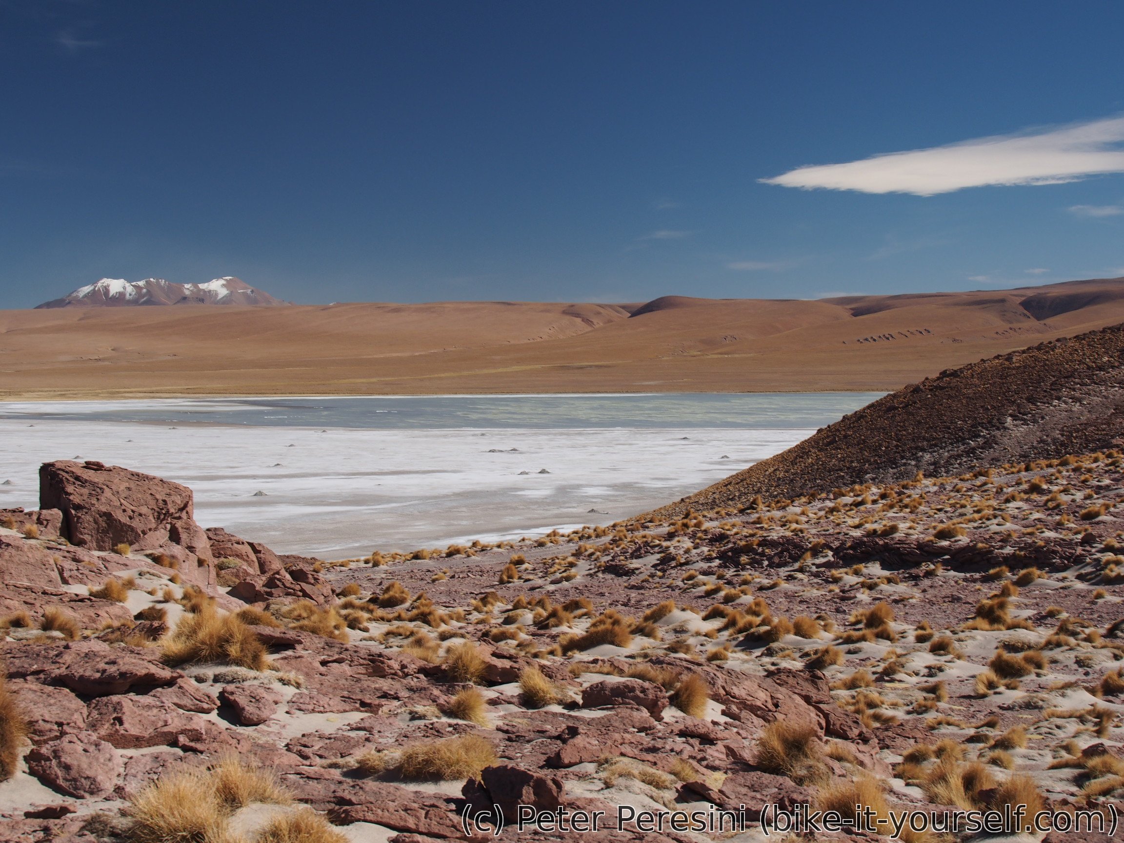
My plan for today is go about 40 kilometers to Campamento at Salar Capina. There I might be able to get some sort of accomodation which would be quite welcome change from the freezing cold camping.


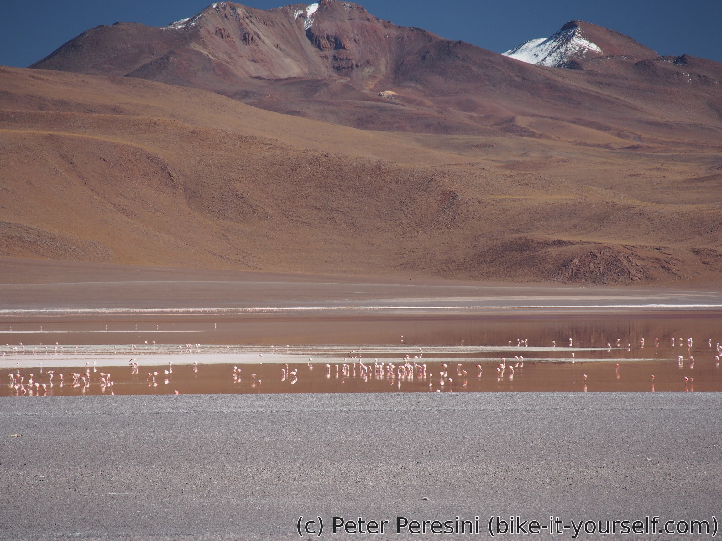
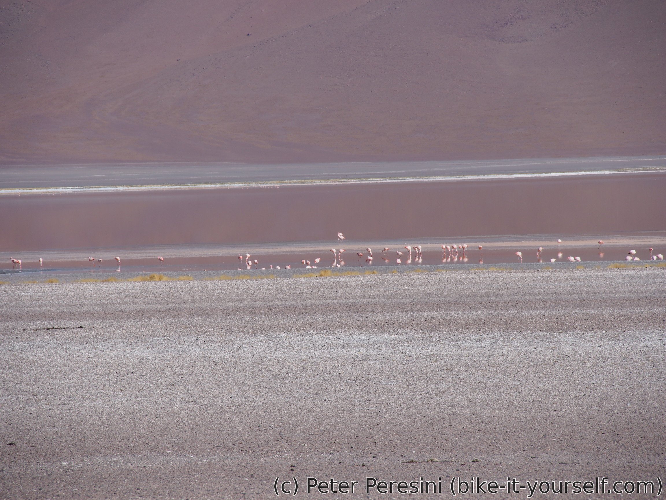
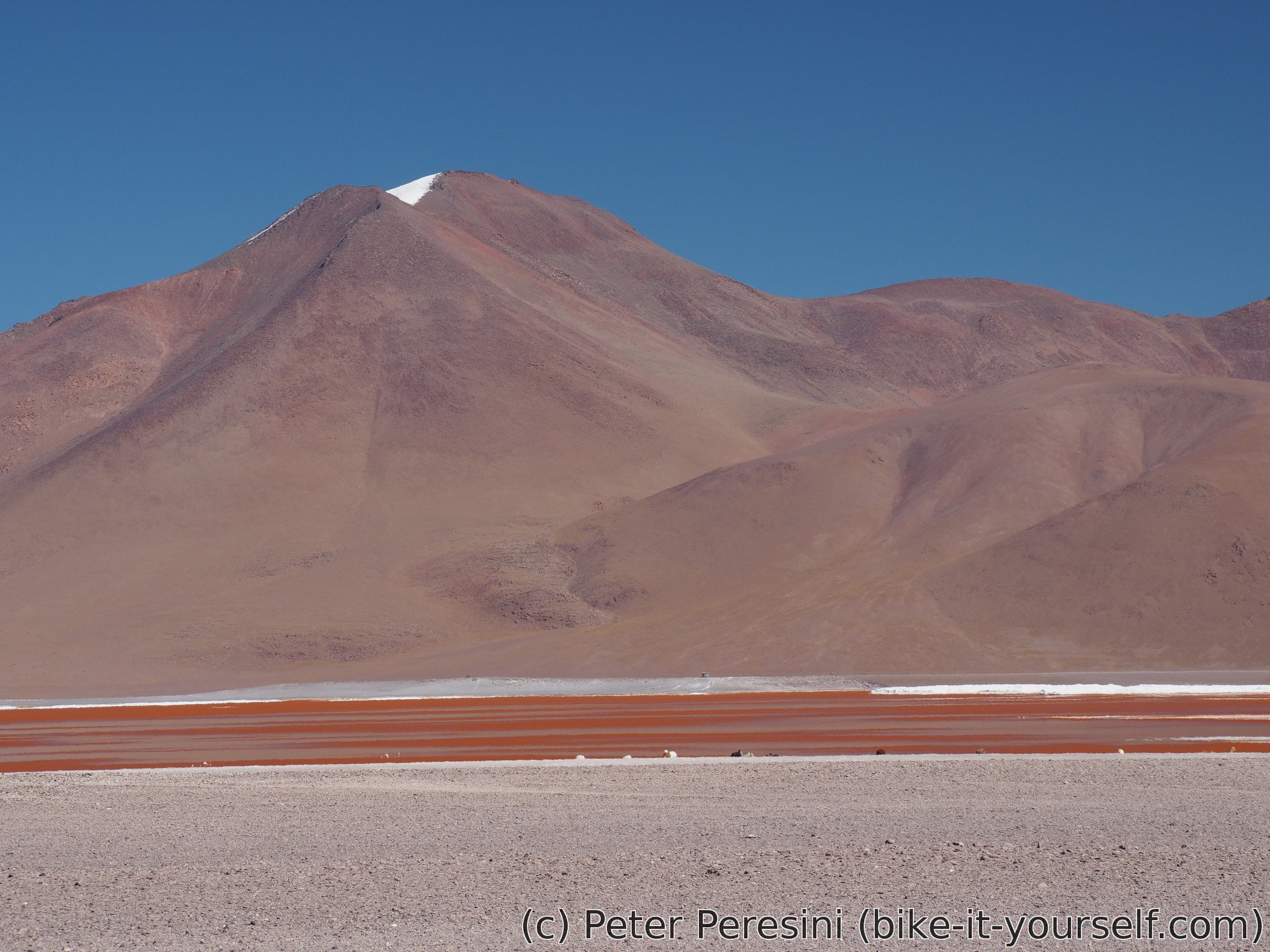
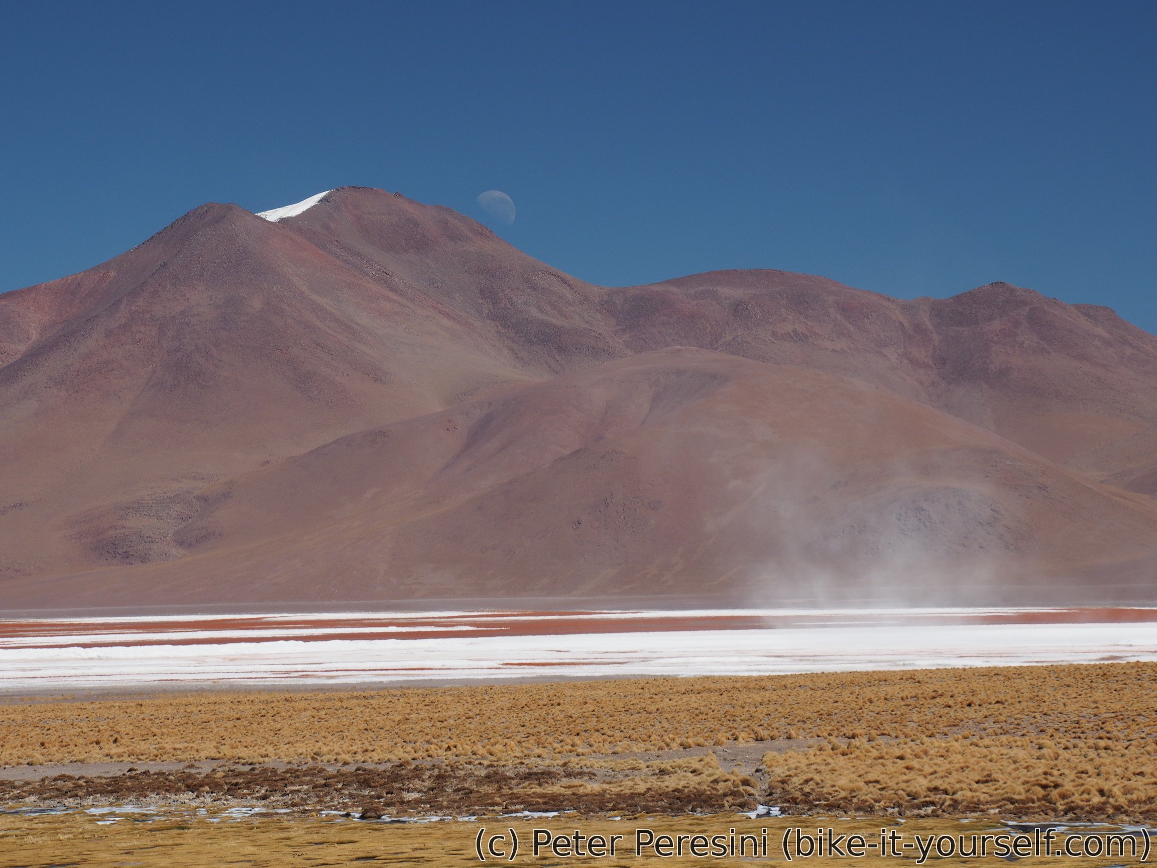
As I finally descent and pass by Laguna Colorada, it becomes clear that my eyes were right yesterday -- the lagoon is definitely red as blood. Given how many flamingoes are there, I have a few theories: a) flamingoes are masking by the red lagoon b) the water in the lagoon is masking by the flamingoes c) The water in the lagoon is actually the blood of flamingoes. Pick your favourite theory ;-)
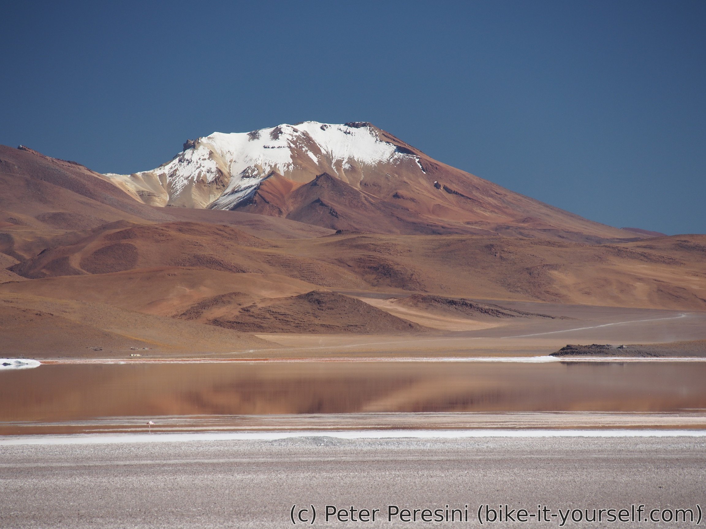
When I leave Laguna Colorada behind (and with the last looks I have a chance to see only what can be described as wind-induced salt-storms over it) it is time to get some lunch. A good spot for it is behind guardaparque hut. Here I should also pay my "entry" to Eduardo Avaroa national park but given how empty the place is, I end up getting the park for free. My quiet lunch is interrupted by an old car which stops by. It however quickly turns out to be just an car with an old man and woman. They do not have any interest in me as the only reason they stopped is to cool down the engine of the car -- right now it hisses more than the yesterday's geyser.

While I am finishing my lunch, the standardly strong wind picks up. Fortunately, it is mostly in my direction so I won't be battling it which is quite good as I still have about 250 meters of ascent and 25 kilometers to go.
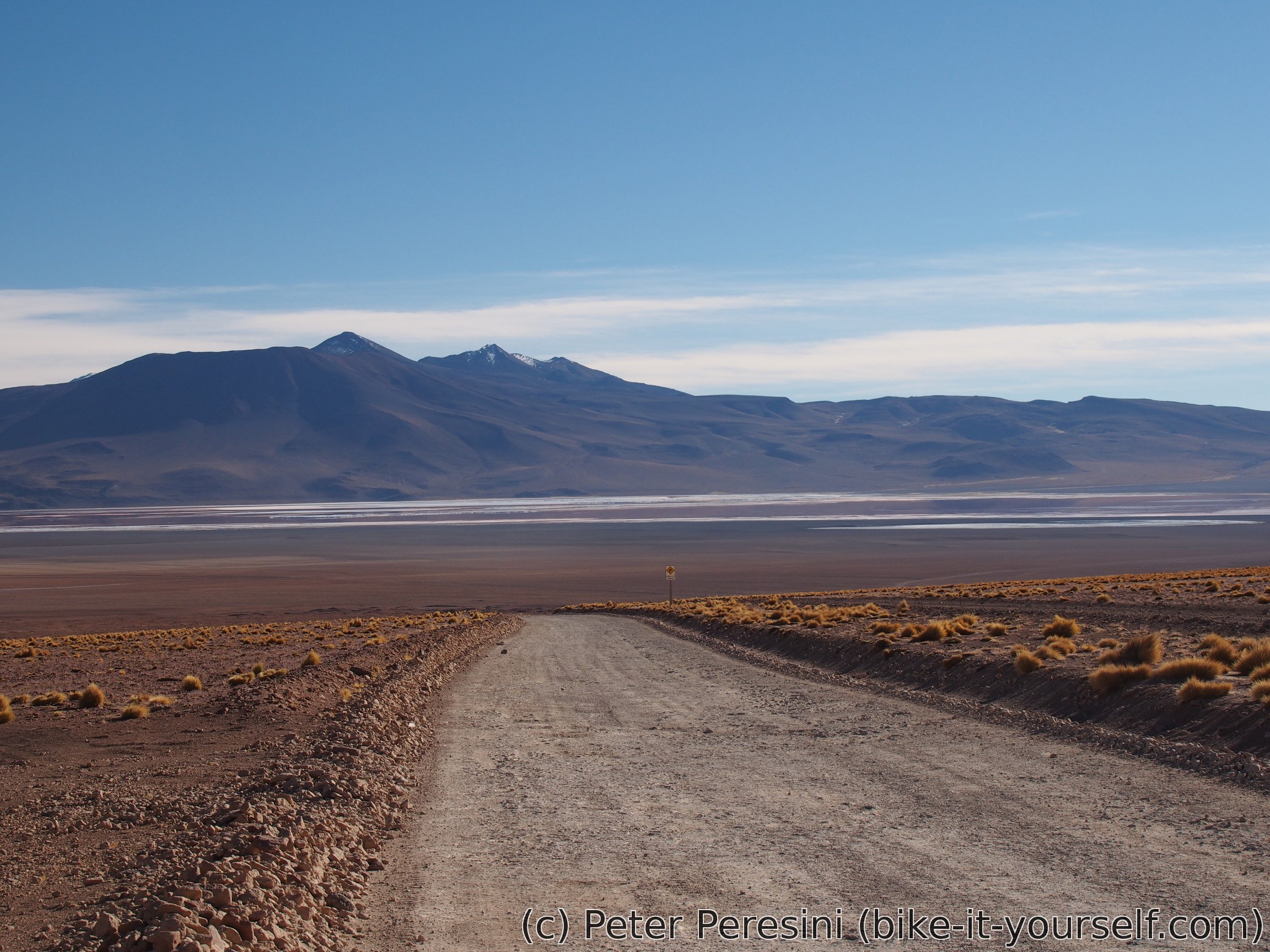
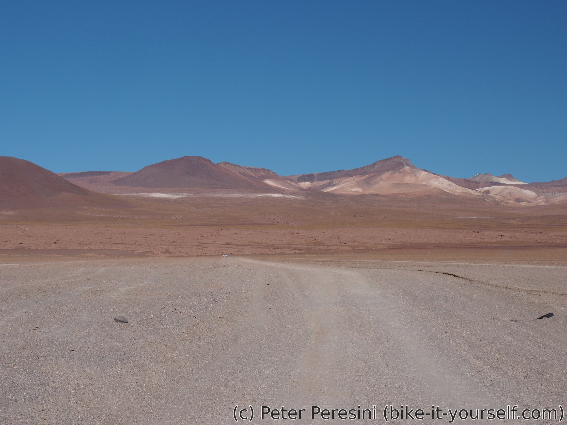
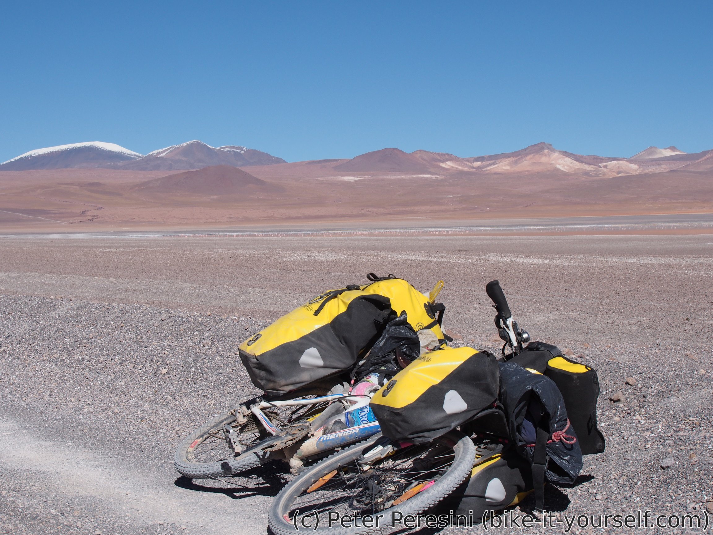
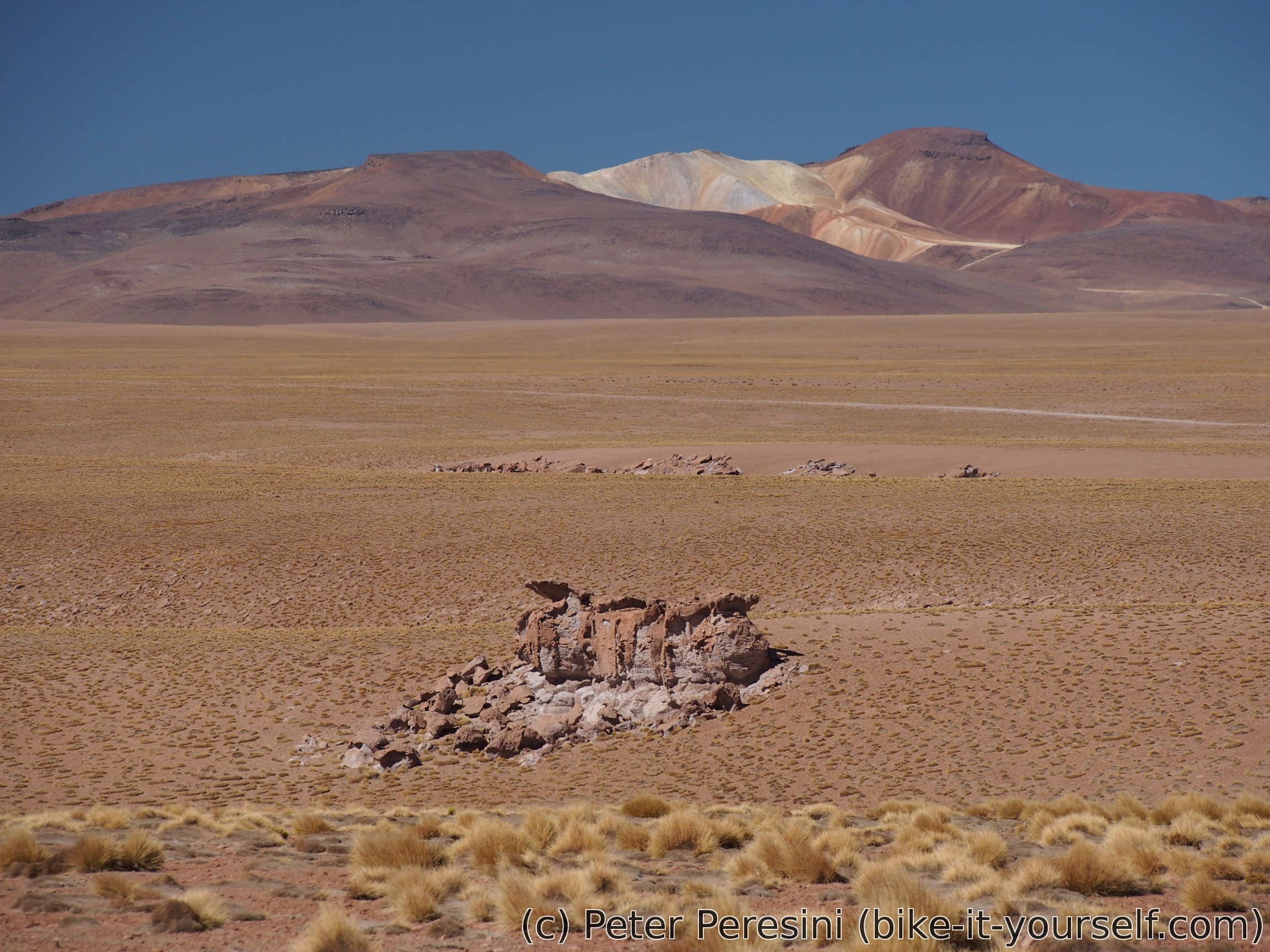
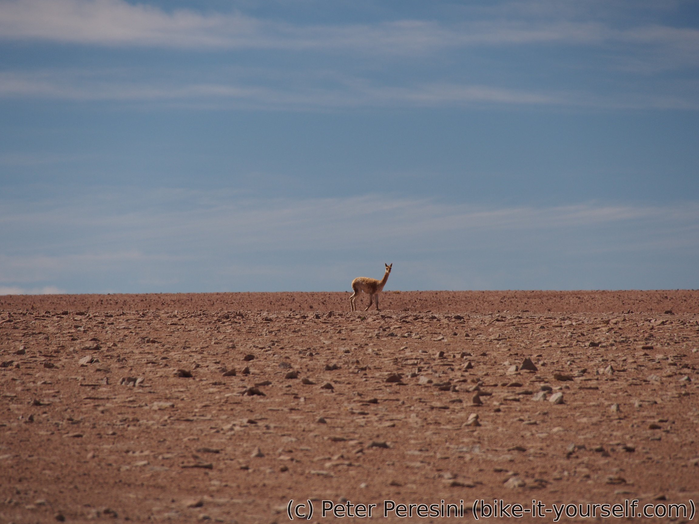
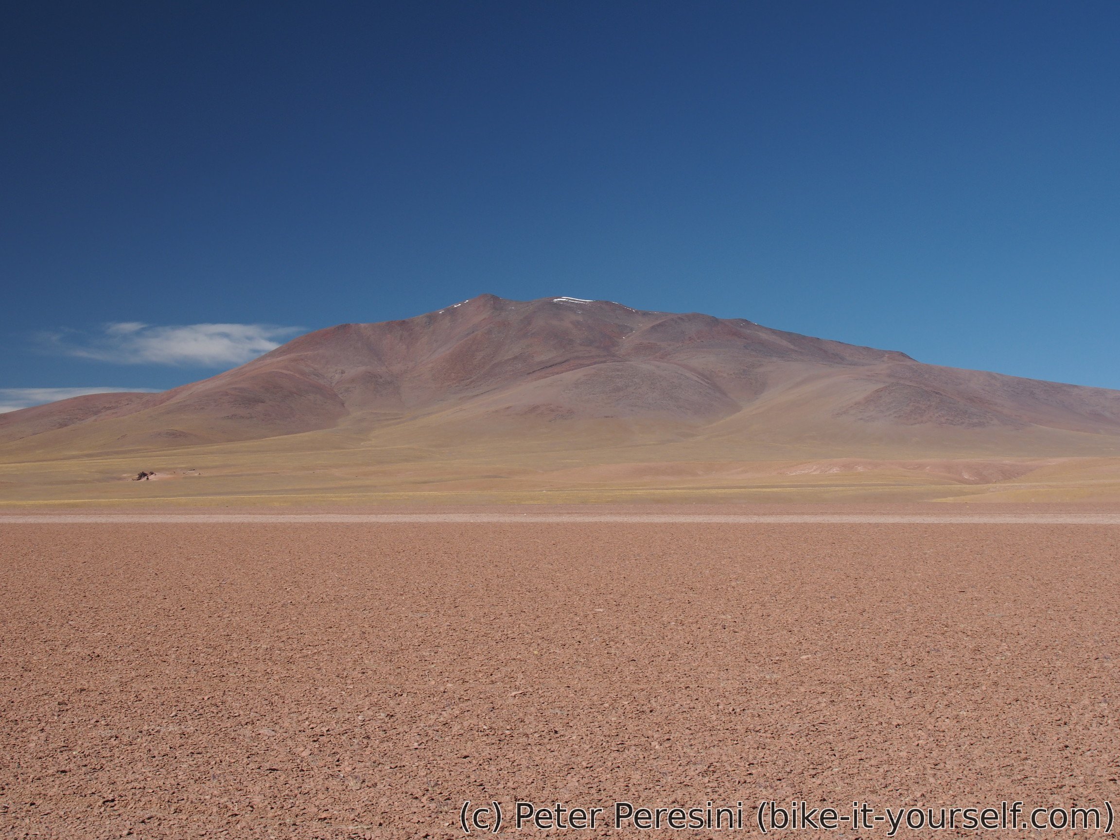
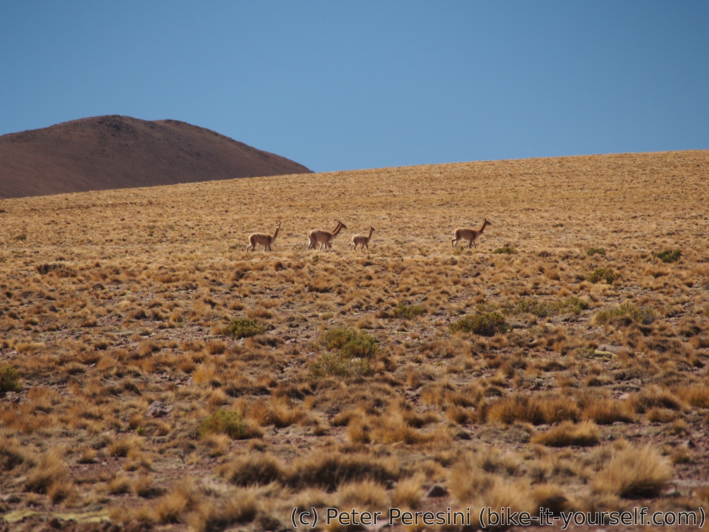
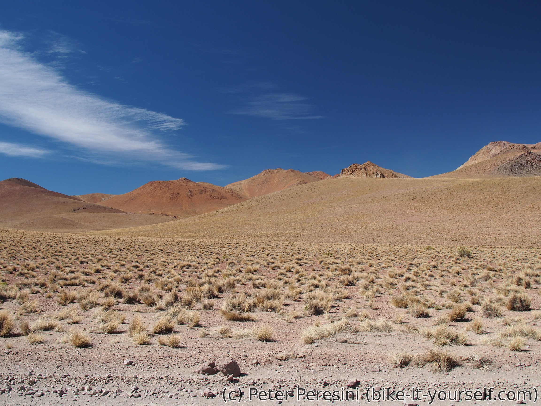
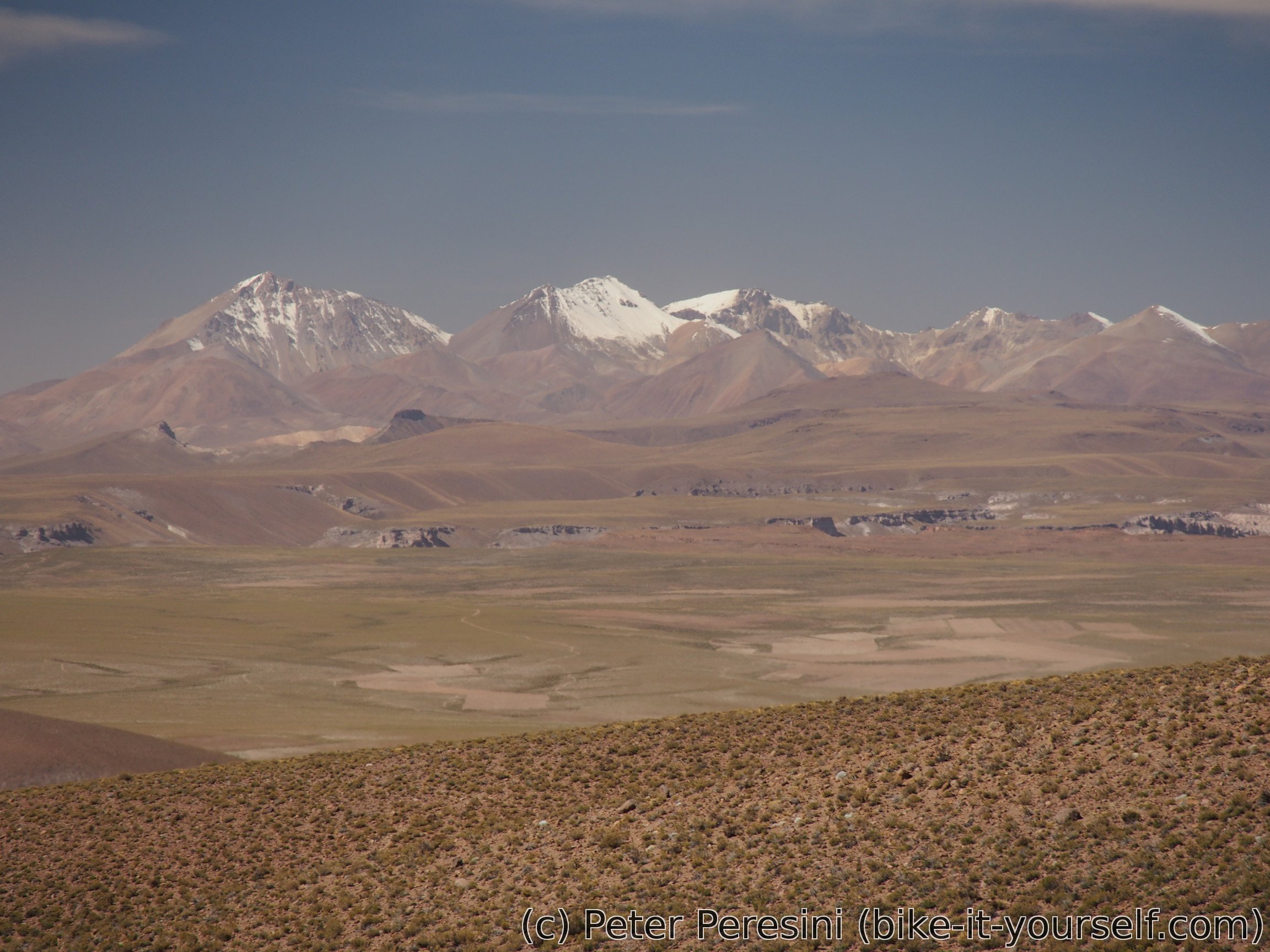
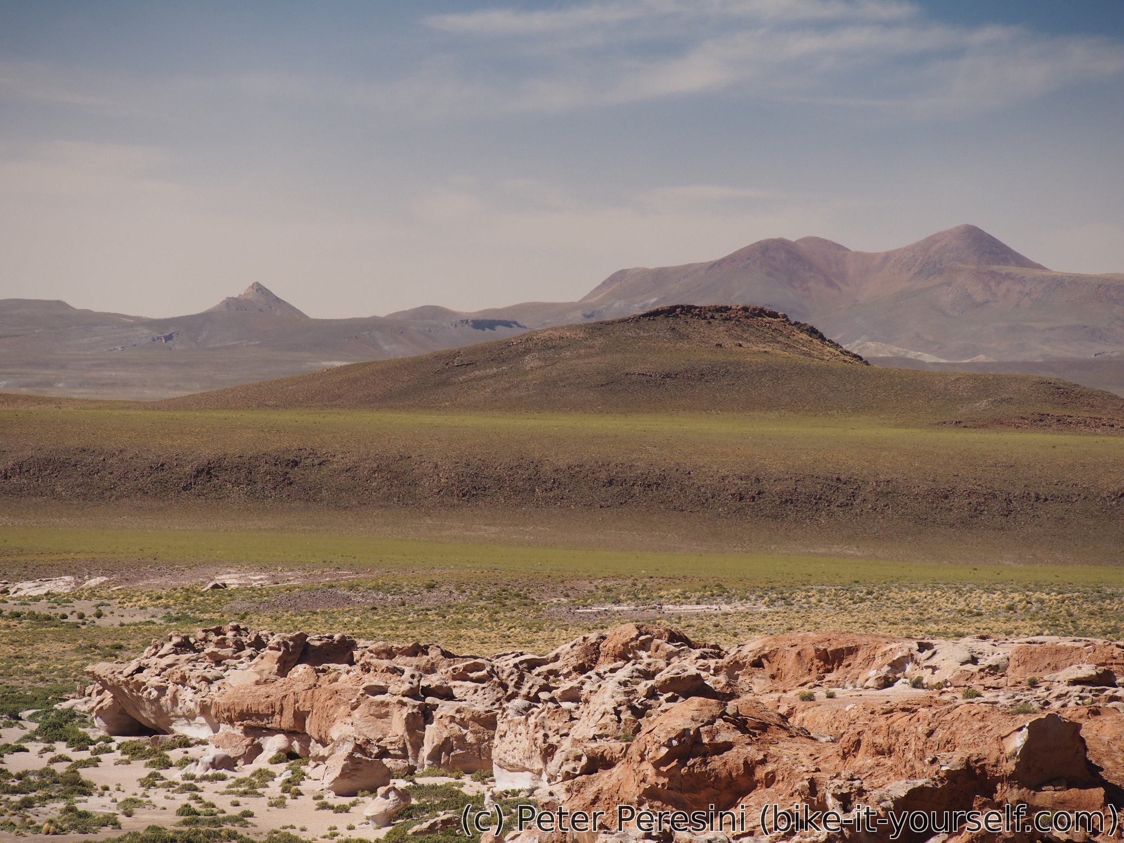
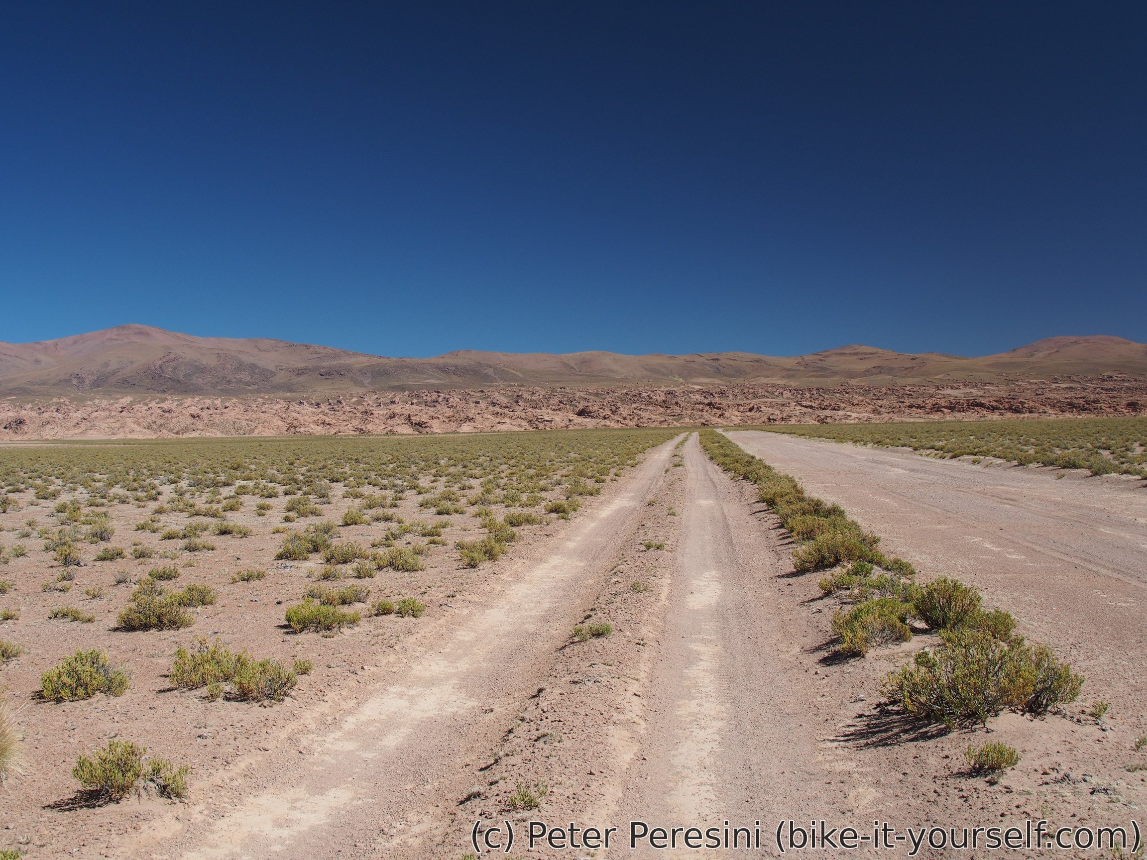
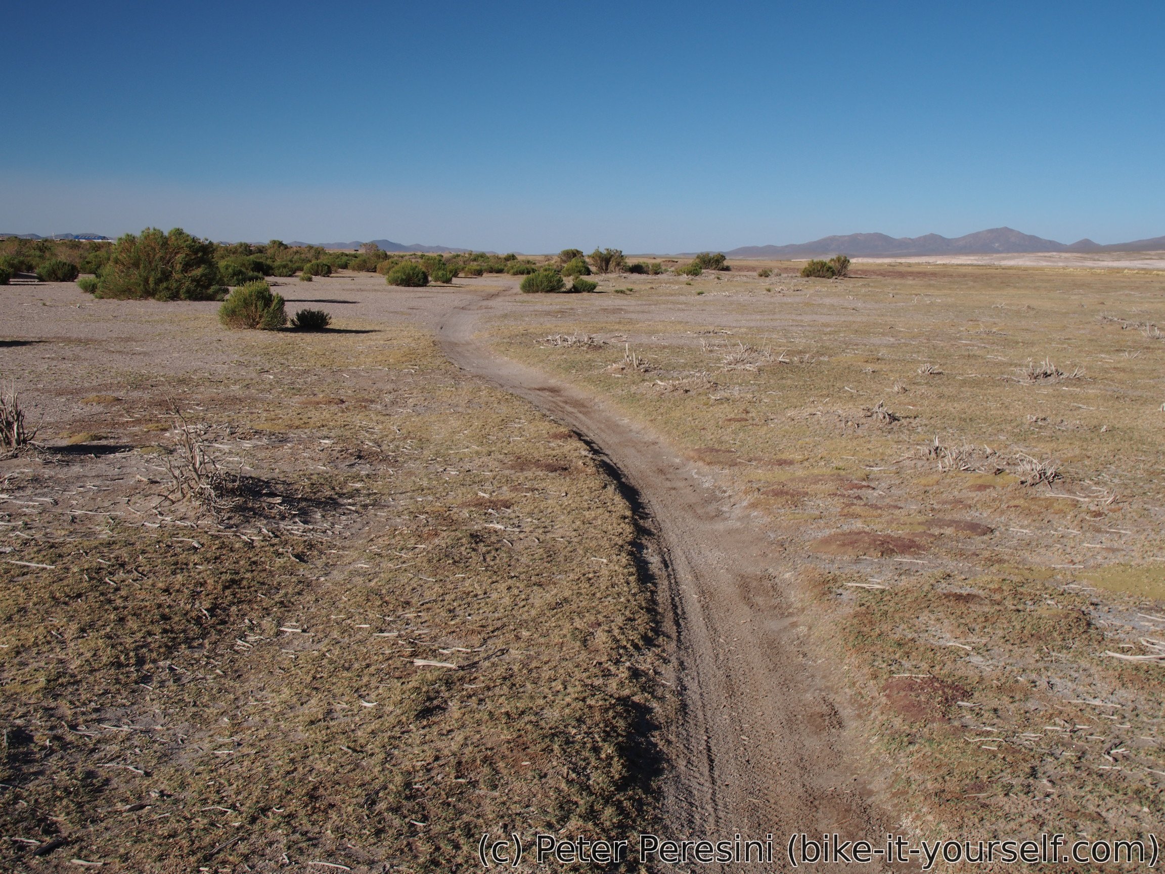
The afternoon scenery is mostly a standard Bolivian desert. There are distant volcanic-colored hills and a tiny bit of grass. I can see a few vicuñas too.
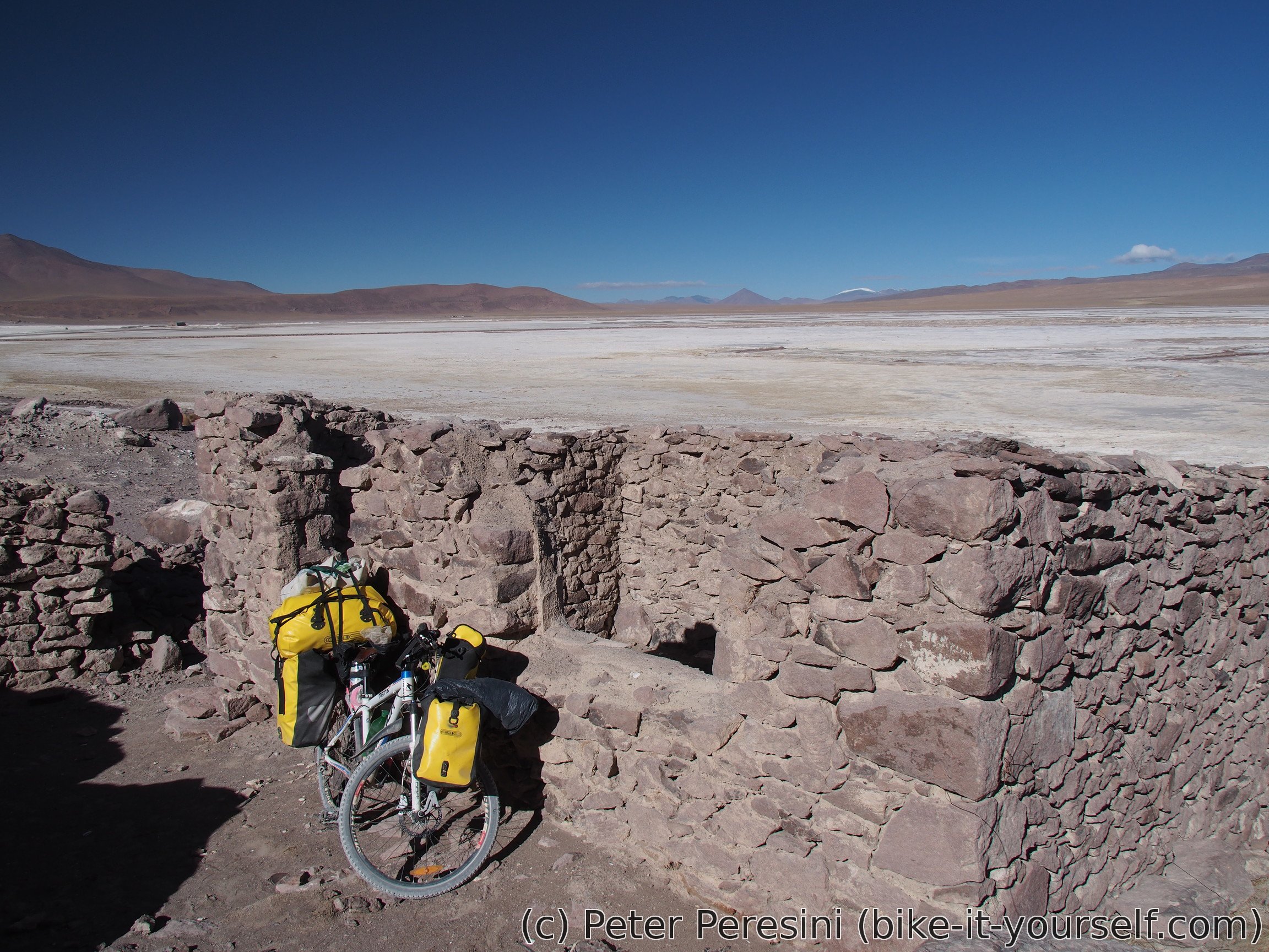
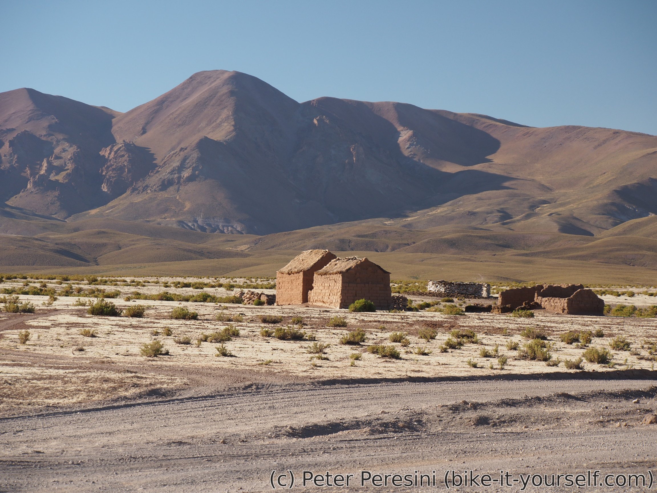
When I finally arrive to campamento at Salar Capina, the guy tells me that it isn't possible to spend a night here. It is supposedly a private campamento for mining people (oh, really? I think this is quite obvious!). I am getting a tip that there is a new campamento 7km down the road where I could ask the same question. So, I am at least getting lots of water and continue on the road. By now the wind is crazy strong sidewind and my progress is quite slow. Unfortunately, (if I got the position right), 2km before the new campamento the road turns into a full headwind. I am very briefly considering giving it a go when I spot a ruin of an old house just next to the road intersection. Given the wind, my choice is pretty clear -- I quickly scout the ruin and find it kind-of-works as a windbreak. By kind-of I mean, it turns the huricane-strong wind outside only into a medium breeze inside the walls.
May 18
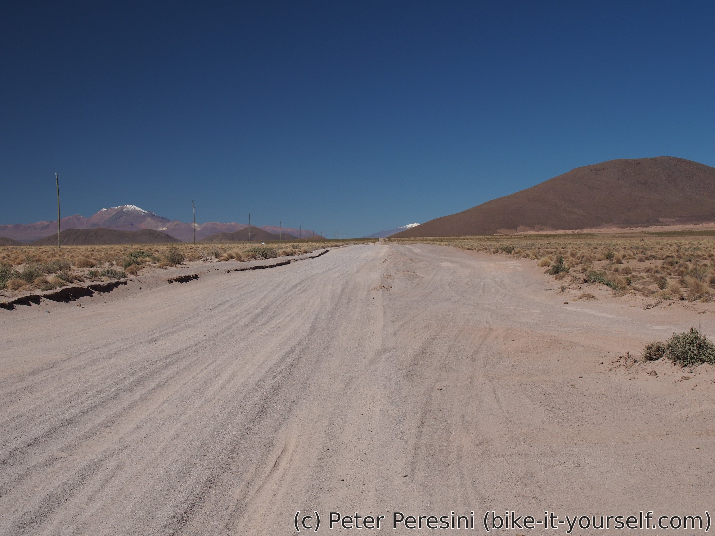
The wind is howling during the night and the morning is so cold that I don't really want to leave my tent (the house walls doesn't let sun rays to go inside). When I finally pack everything, I am looking forward to see about 30 kilometers of a Bolivian road and hospedaje/shops at the end.
As the wind didn't die during the night, I have quite some problems from the start. Fortunately, it is mostly sidewind but even that isn't really nice. I have a hard climb to Paso Salar Capina where I end up around the lunch time.
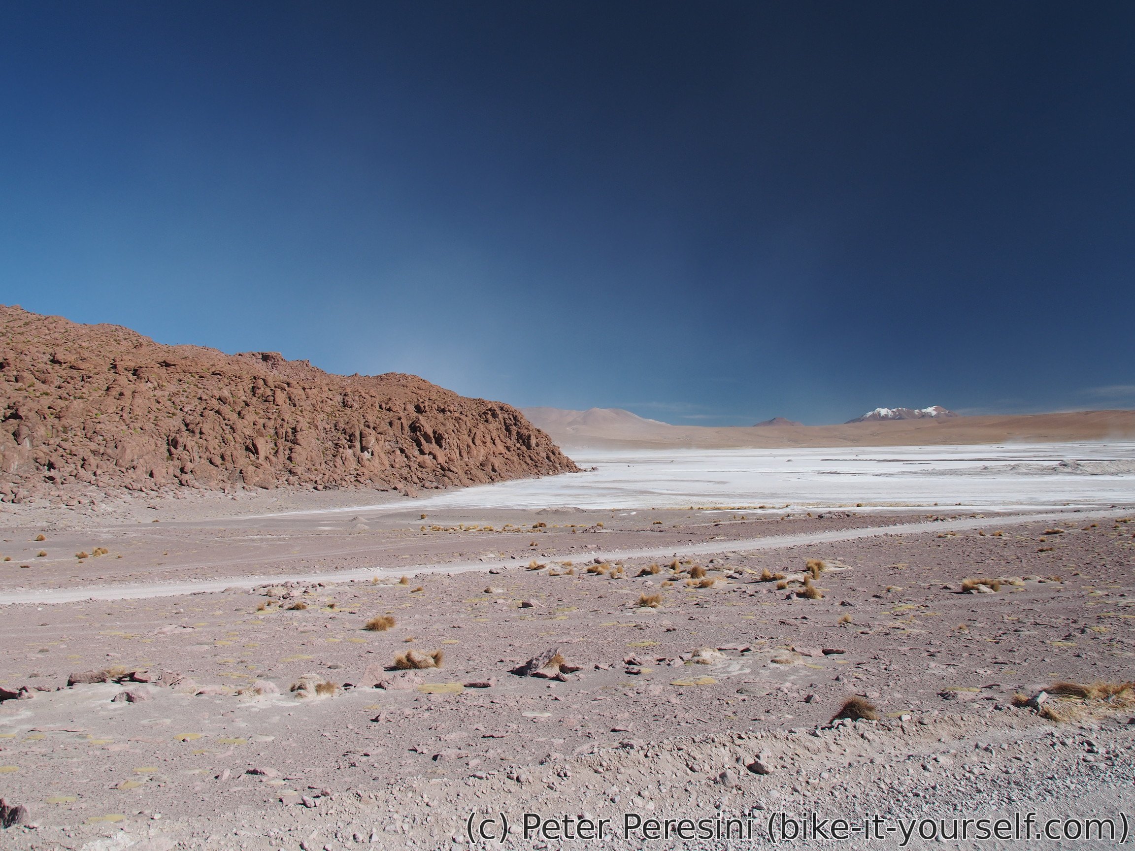
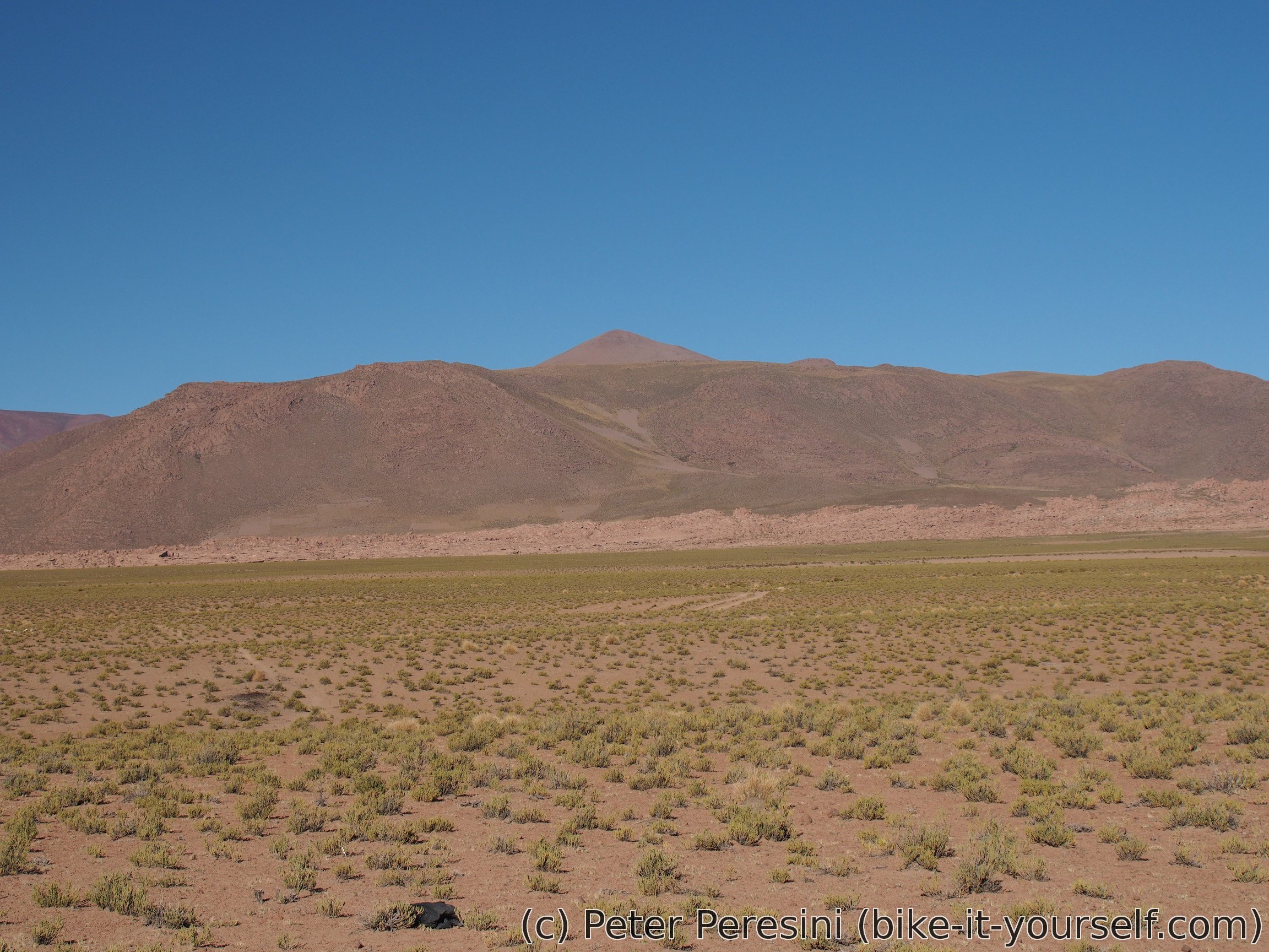
The other side of the pass leads down to the altiplano. As I am descending, the scenery starts to change -- slowly a greener vegetation starts to appear.
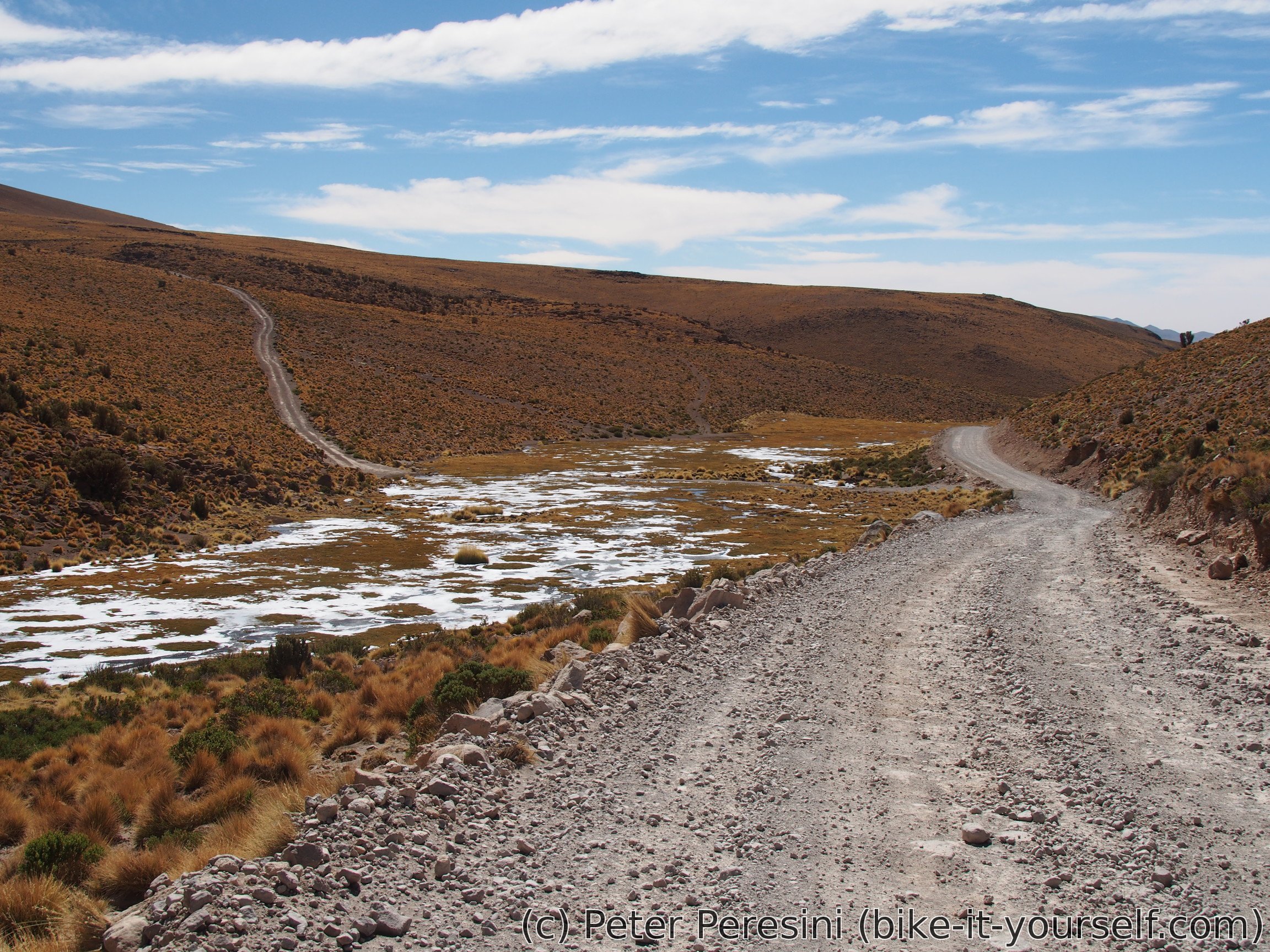
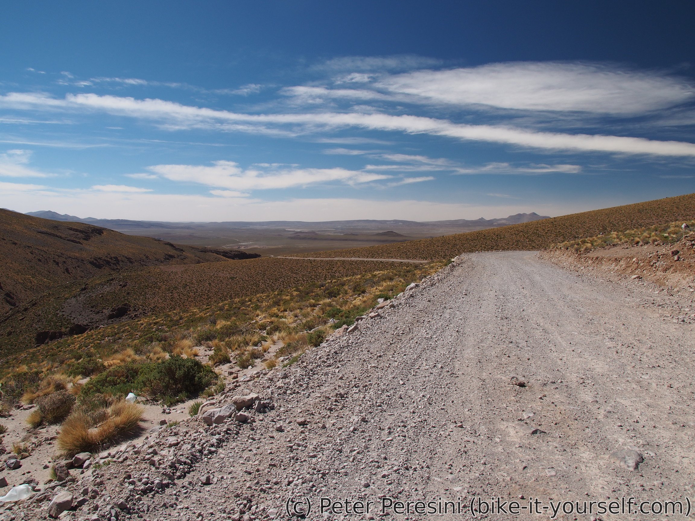

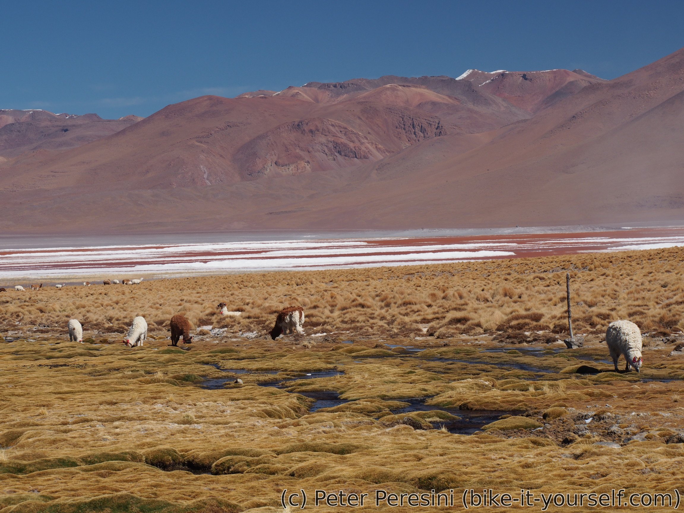
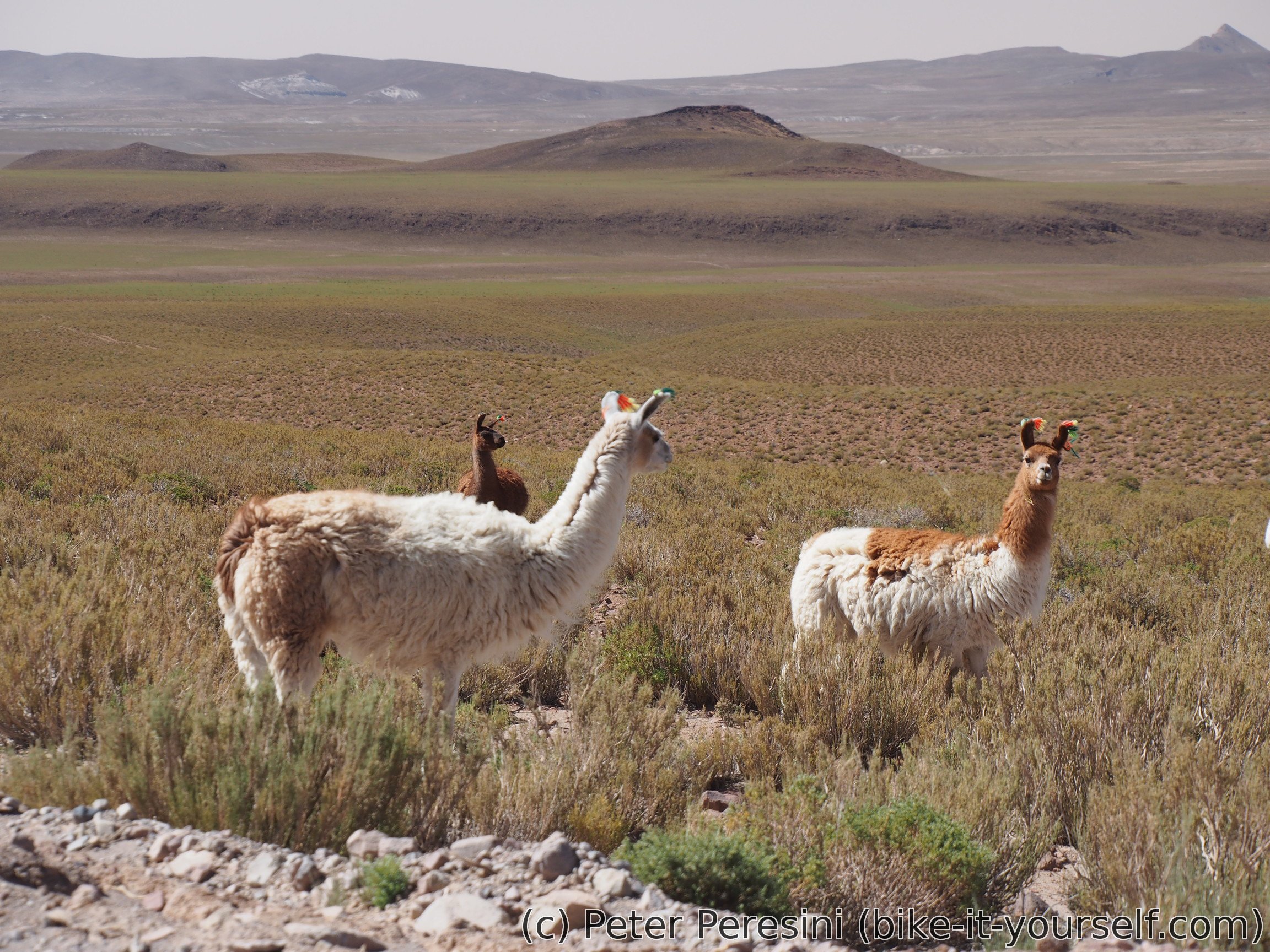
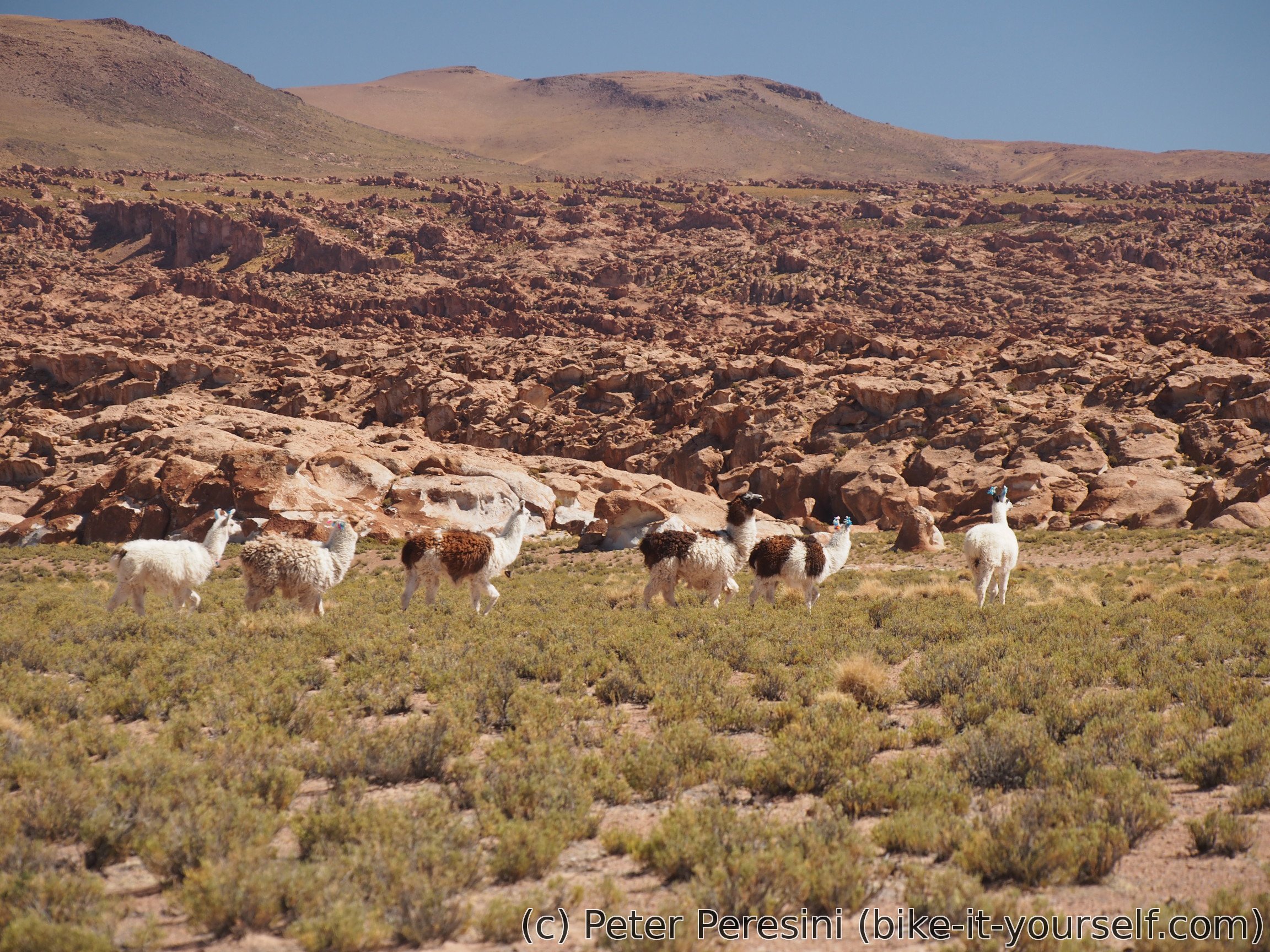
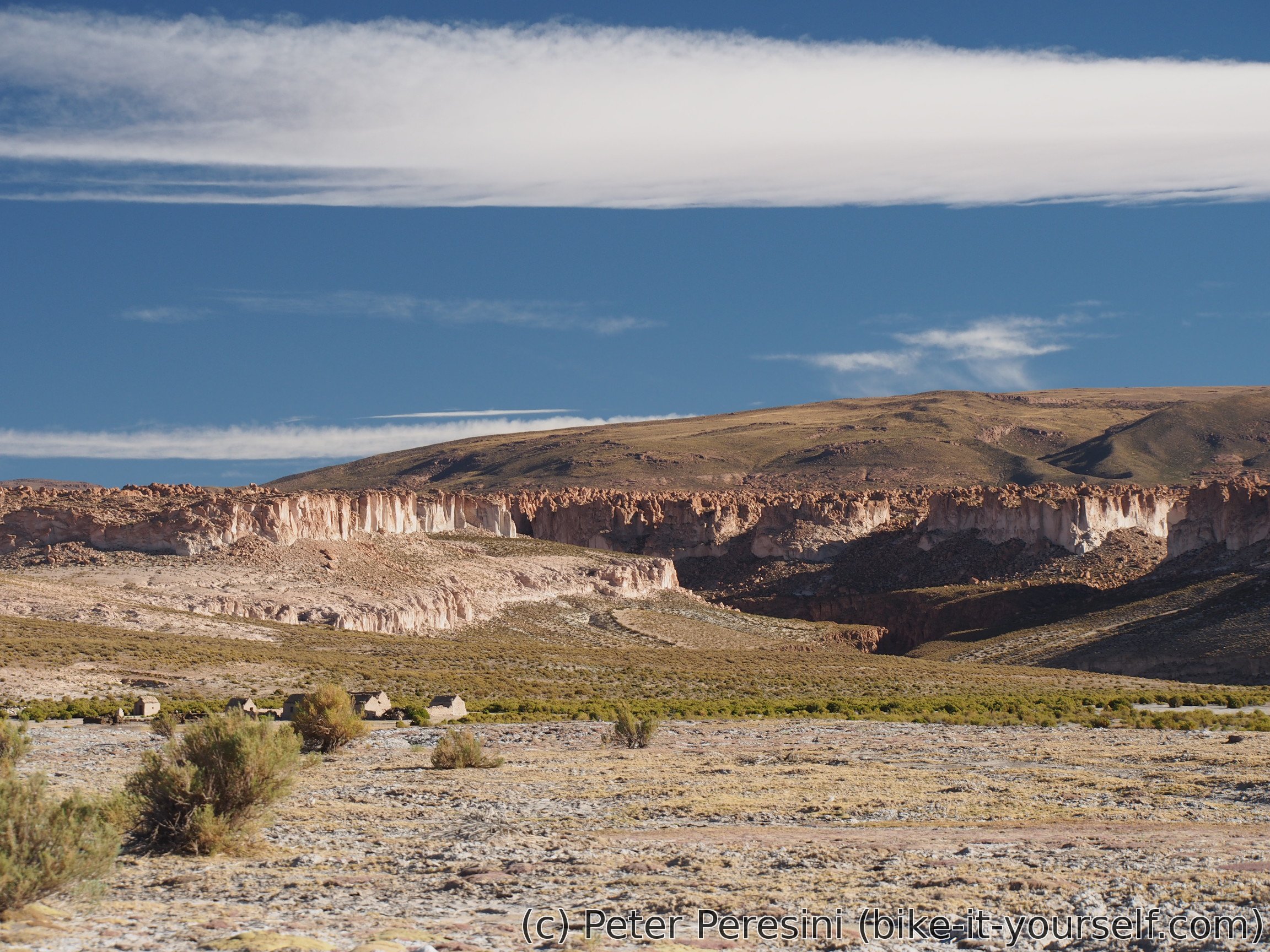
When I am almost down at the altiplano level, the views are quite great. Besides being greeted by a big herd of alpacas I can see amazingly green altiplano composed of lots of small bushes. Definitely a welcome change after Atacama and Bolivian desert.

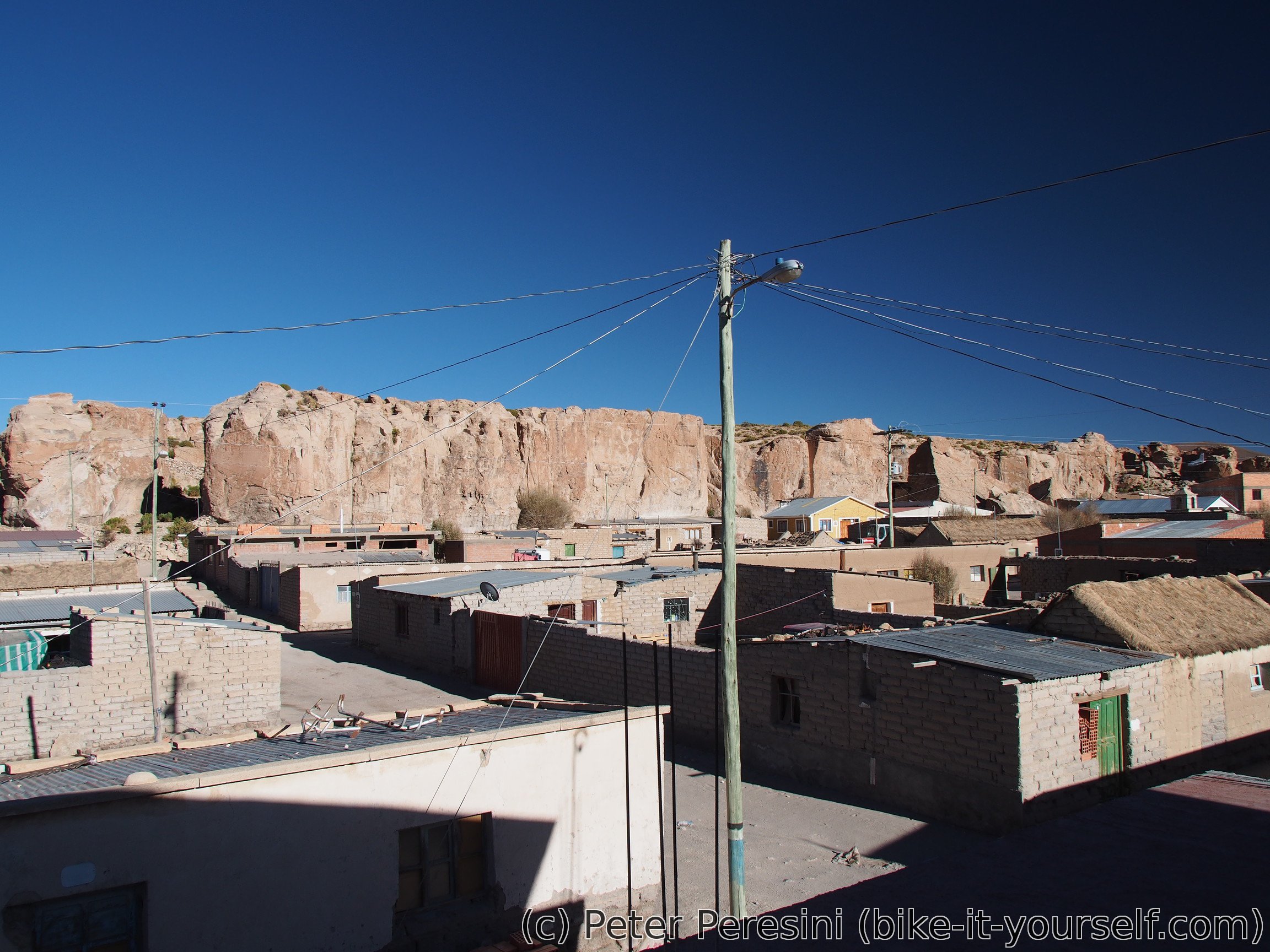
I finish the last few kilometers to Villamar where I find a hospedaje. And I am getting a meal -- a lady which showed me where is the hospedaje told me that she also could prepare something for eating. This turns out to be a chicken with not-so-good rice.
After the dinner I am scouting the shops. It turns out Villamar isn't the best place to get supplies. There is apparently a single shop which is closed until the evening. And when I finally have chance to get inside, I am understanding the standard cyclist complaint about Bolivian shops -- "there is everything but nothing (for a cyclist)". The whole edible selection of goods consists of rice, pasta (not the type I want), there isn't any oatmeal. The only well-stocked type of food is "galletas" (cookies/sweets) but these are the el-cheapo variant so the taste isn't very good either.
Finally, as a civilized European I need to adjust my expectation about homes/hospedajes. The main difference is that there is no central heating in Bolivian houses. Instead, you just get a bed with lots of (not that warm) blankets.
May 19
Today is going to be a long day. I am planning to go about 50 km to another village - Alota. As it doesn't look that there is a tornado outside, I am quickly ready to start counting down the distance.
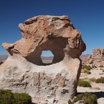
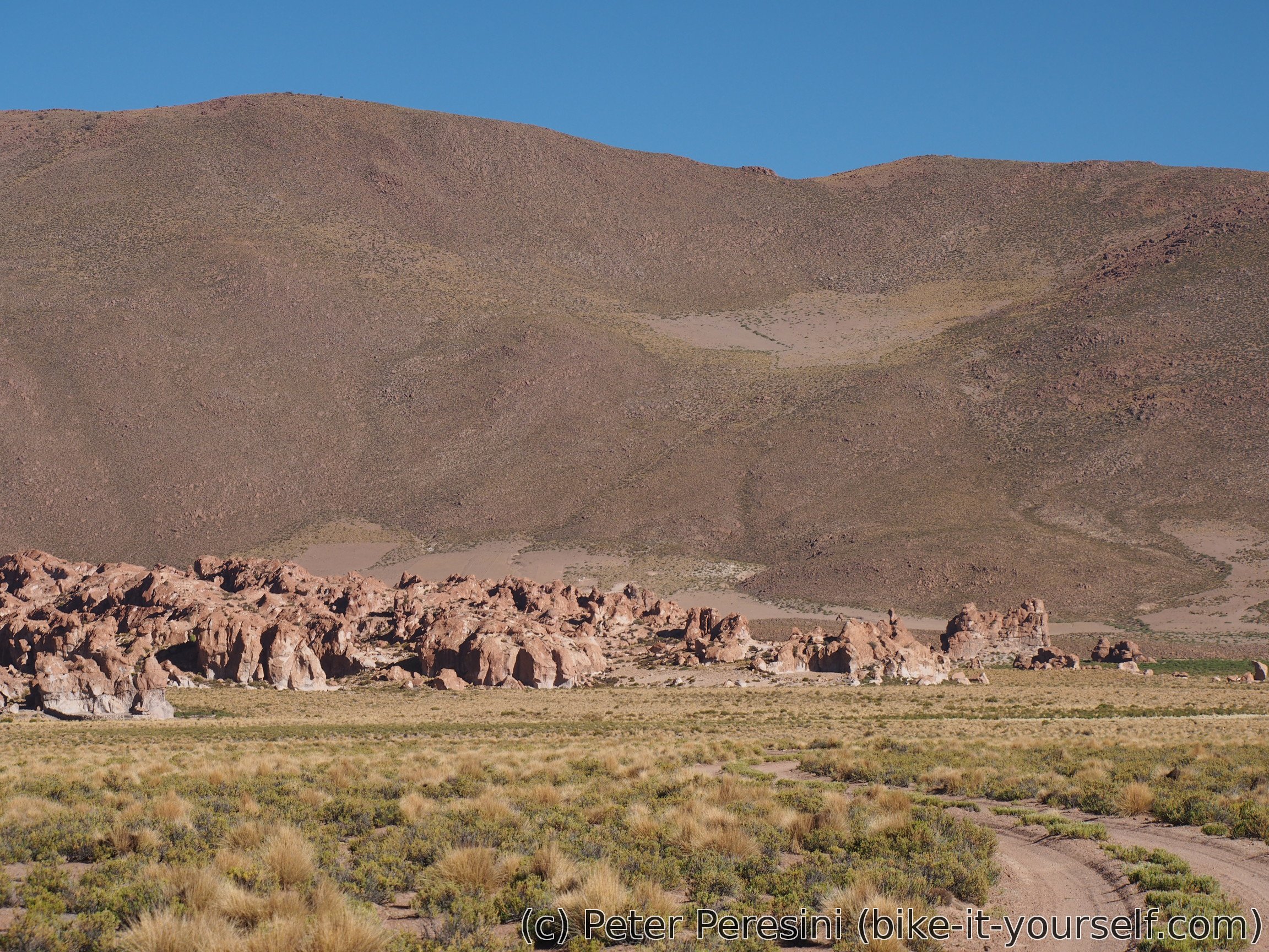
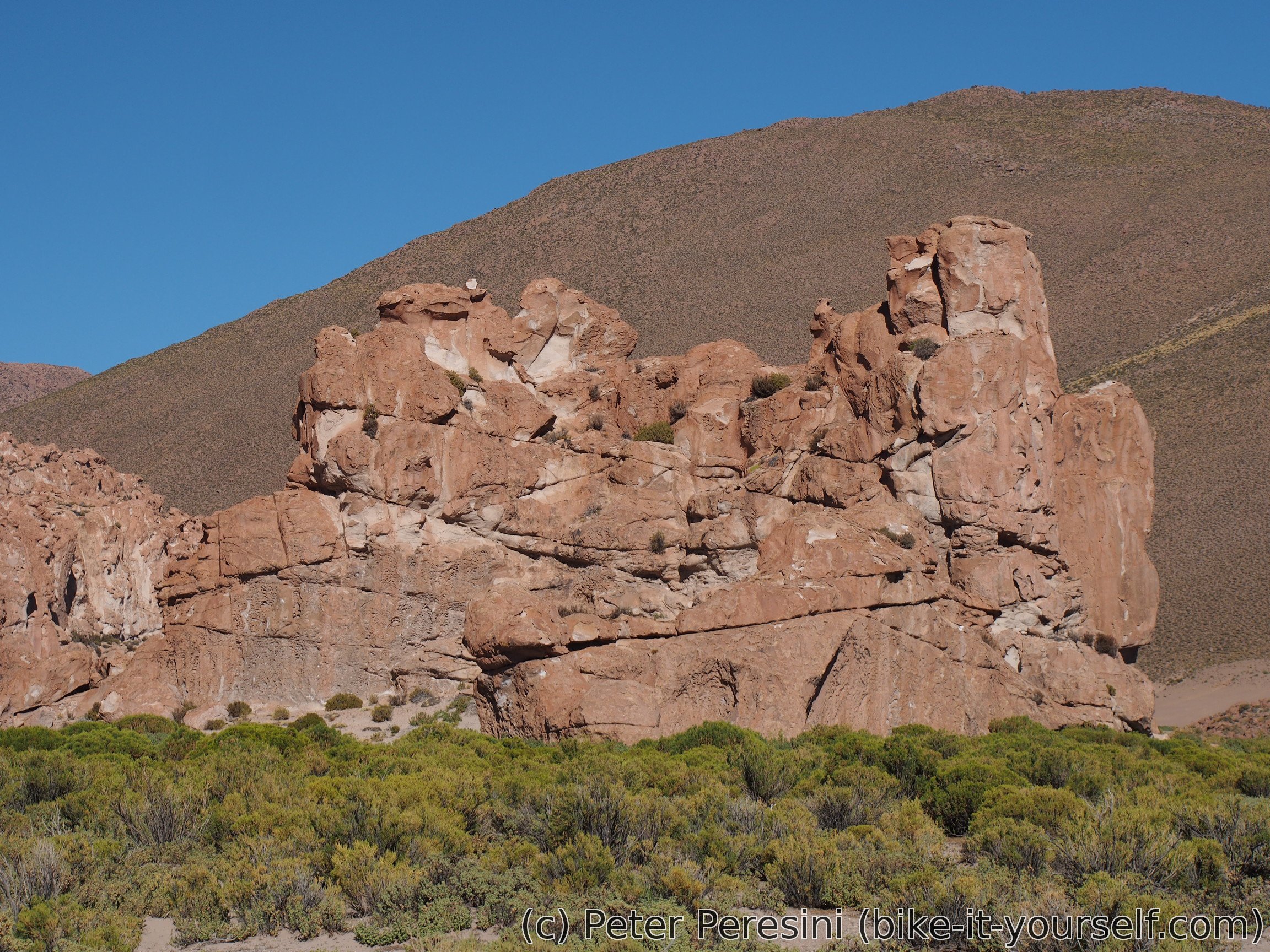
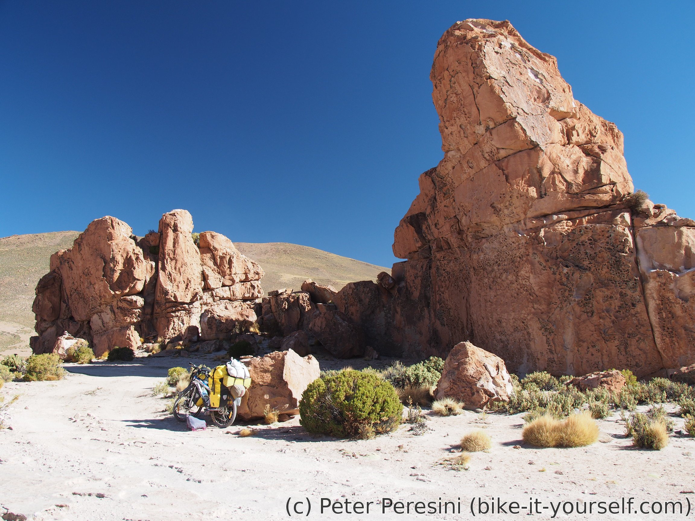
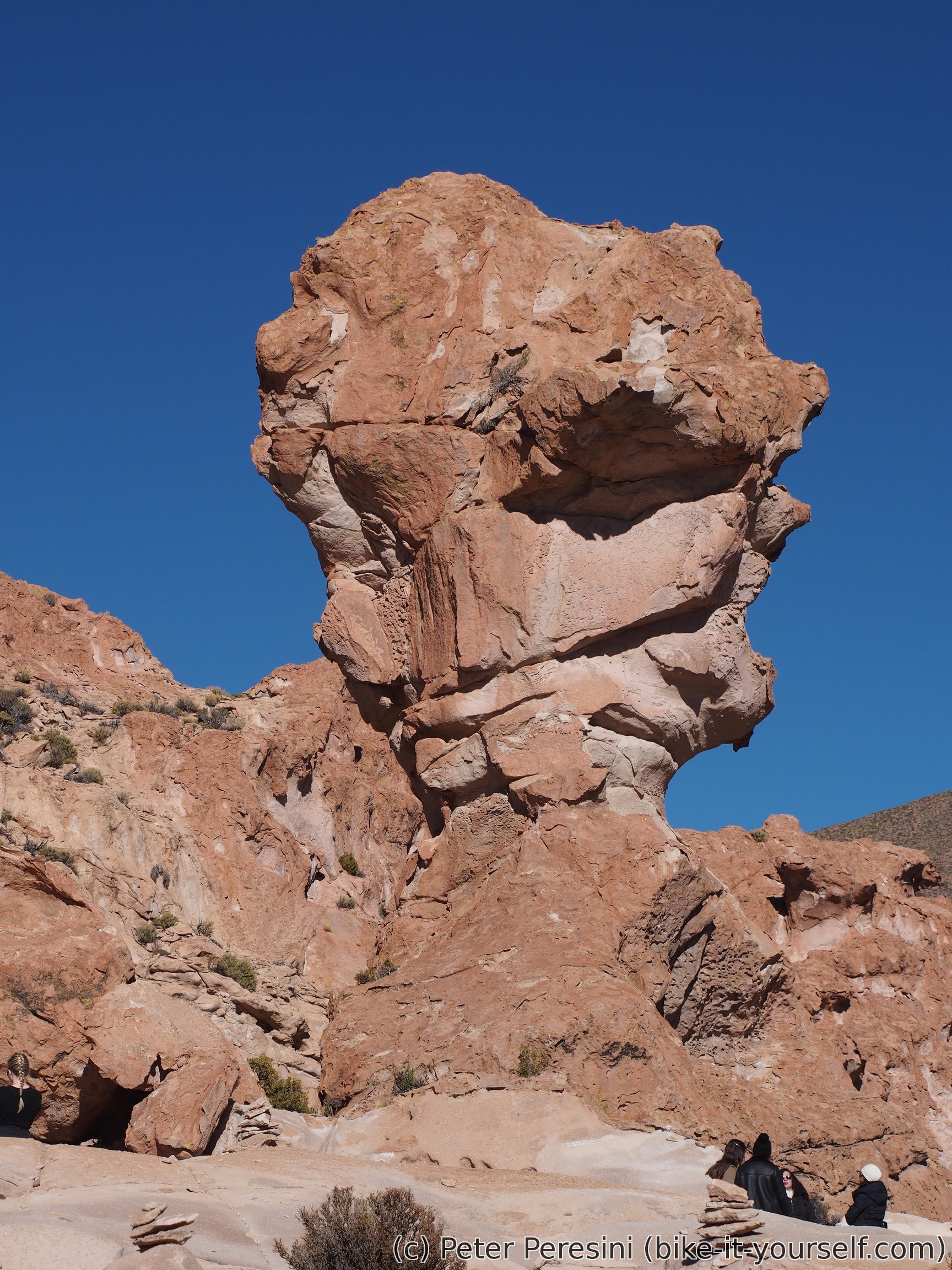
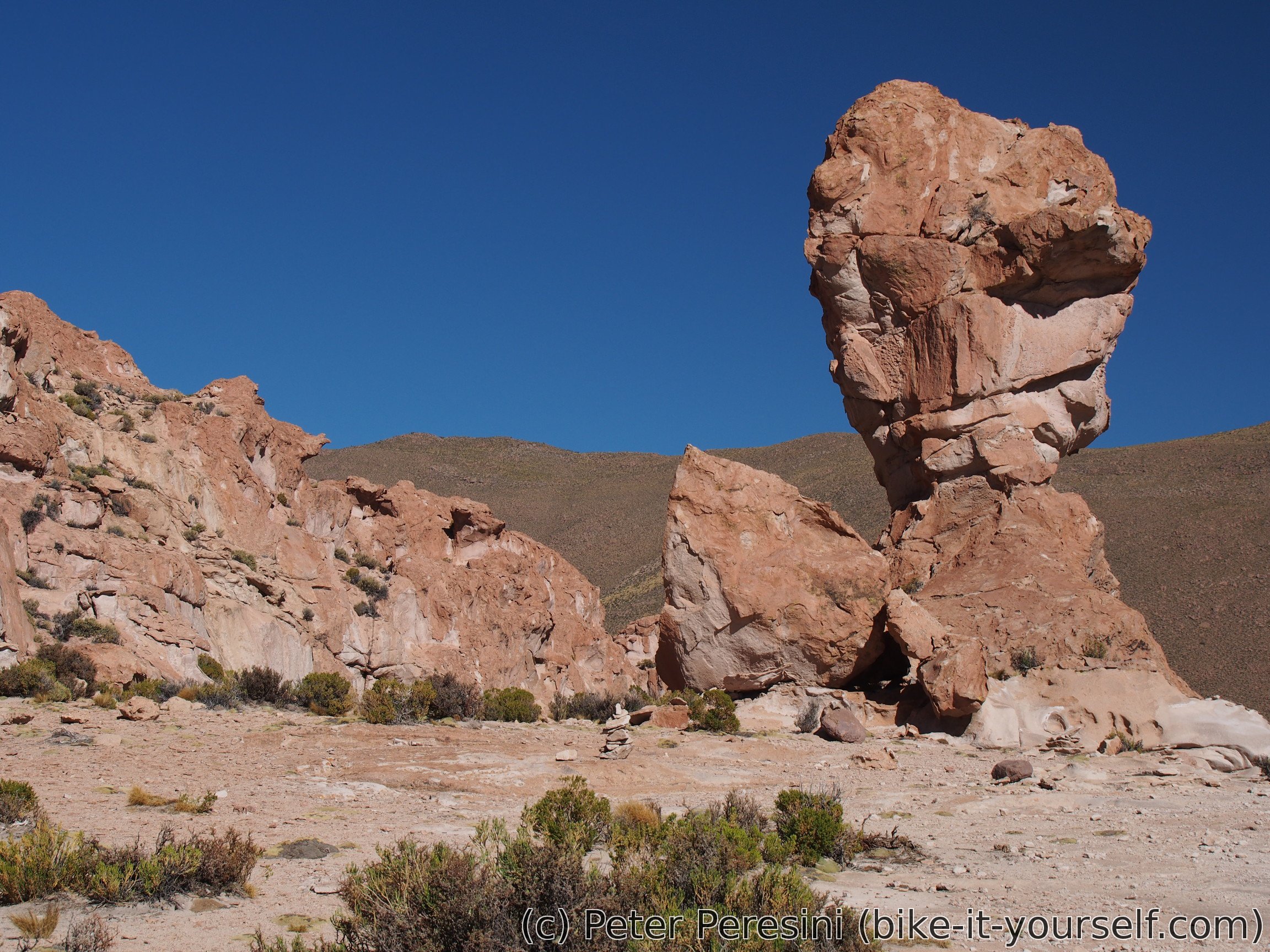
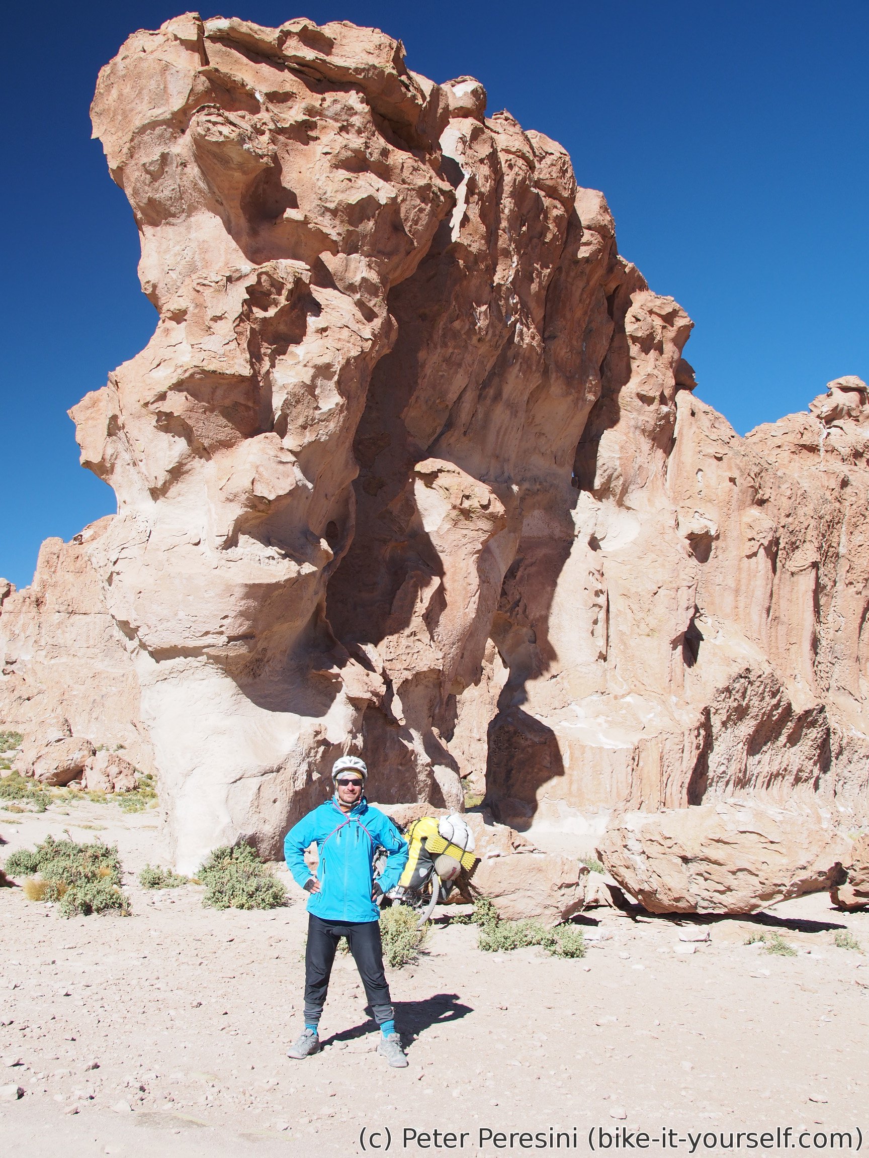
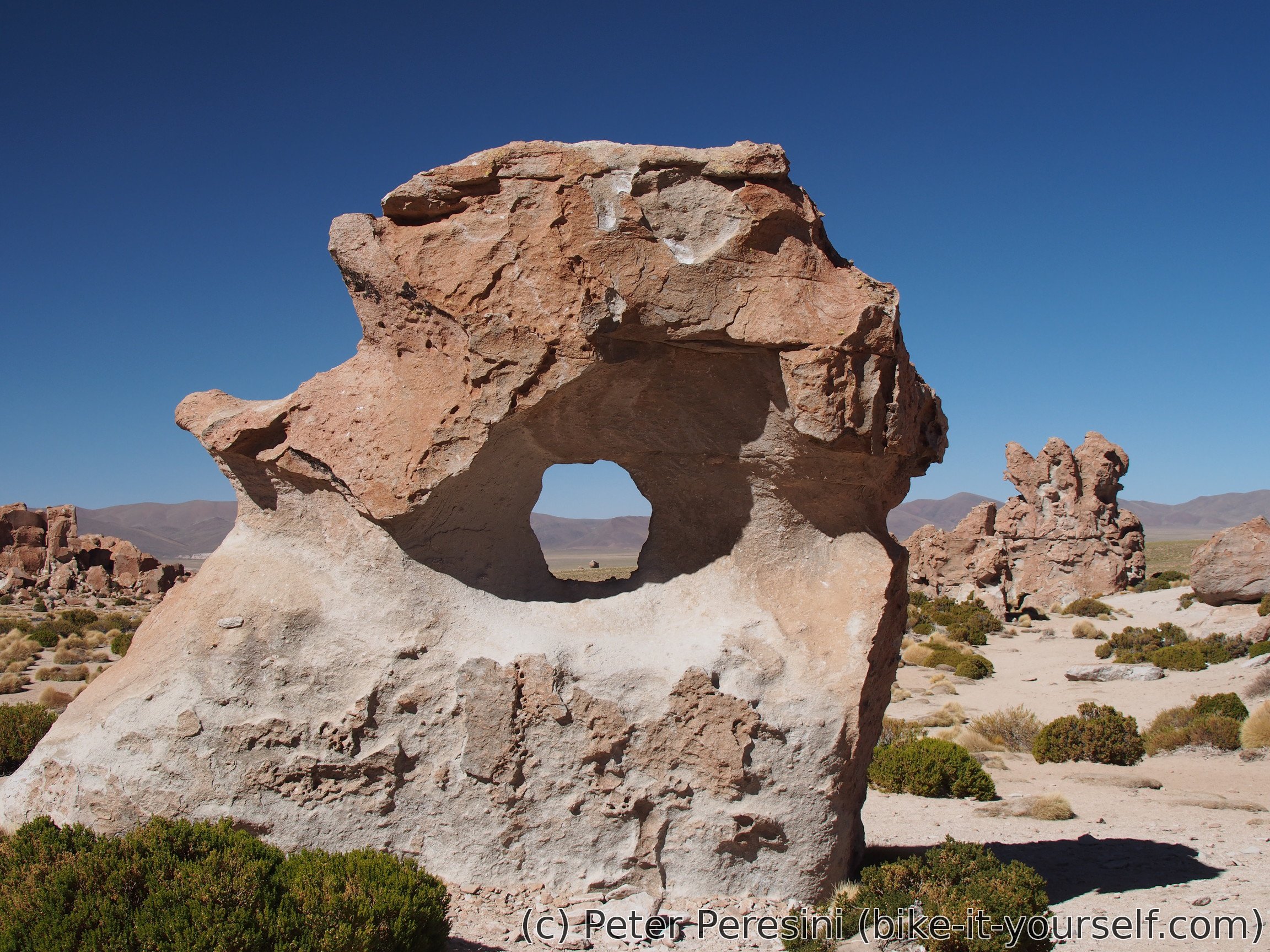
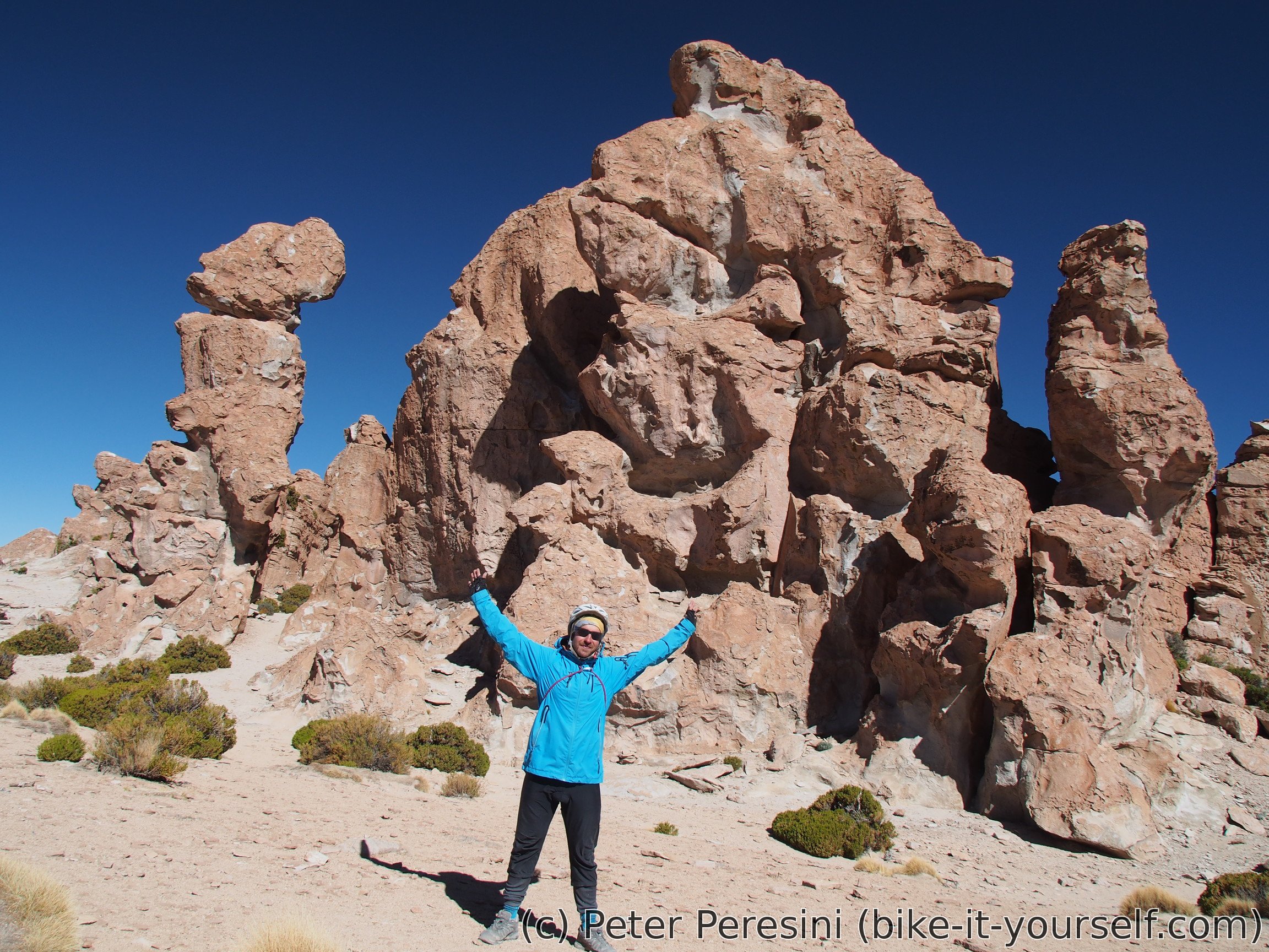
Right from the start, there are some nice rocks in a distance. Using a few tourist jeeps as a guide, I take a detour to this nice place called Valle de la Rocas (valley of rocks). There I enjoy the damn-big rocks standing all around in a sand. And I "enjoy" a big batch of tourists as they come by jeeps.
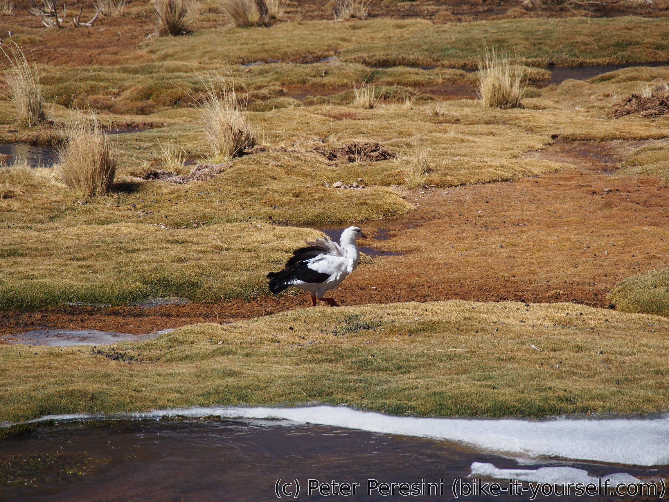
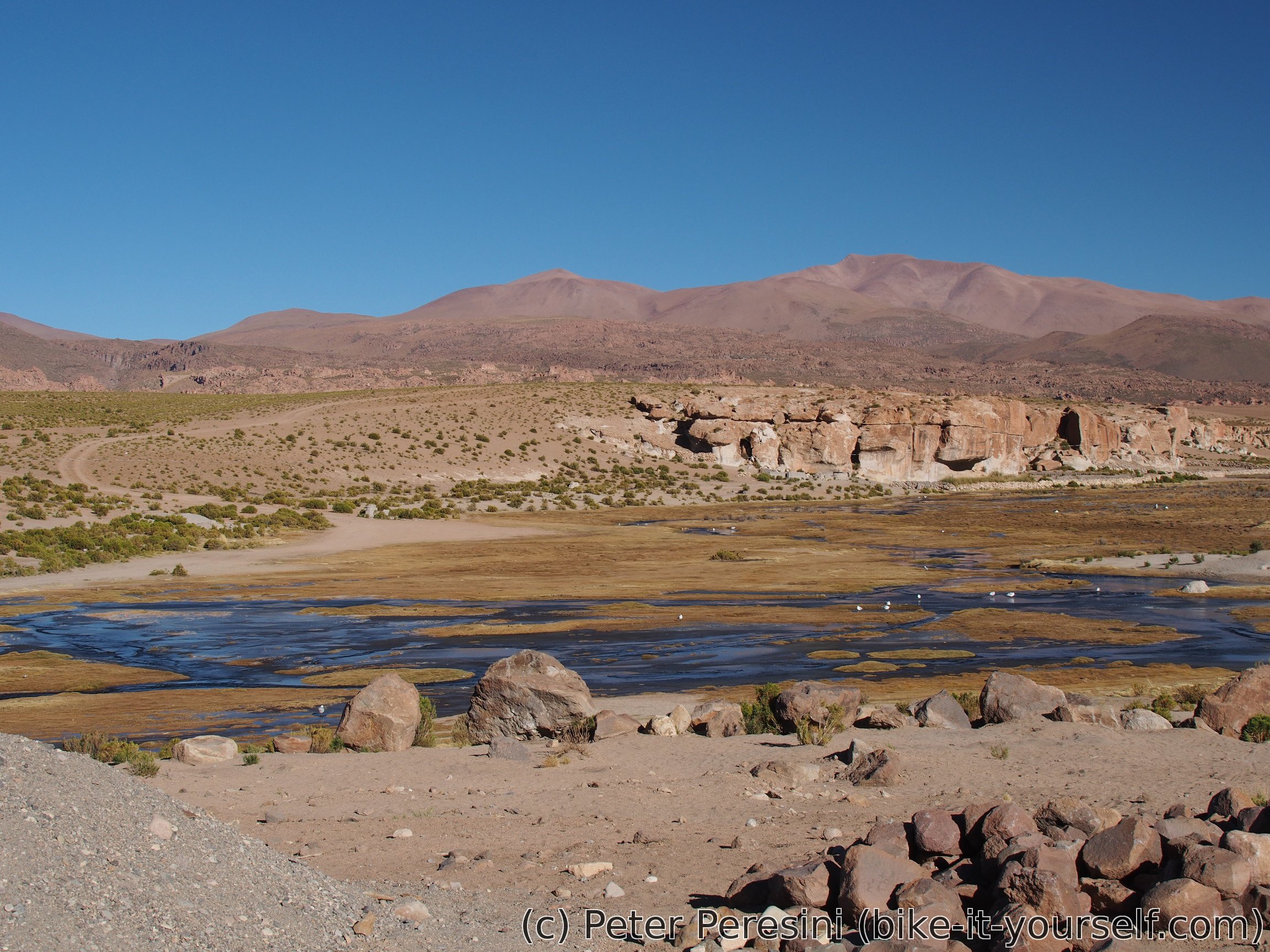
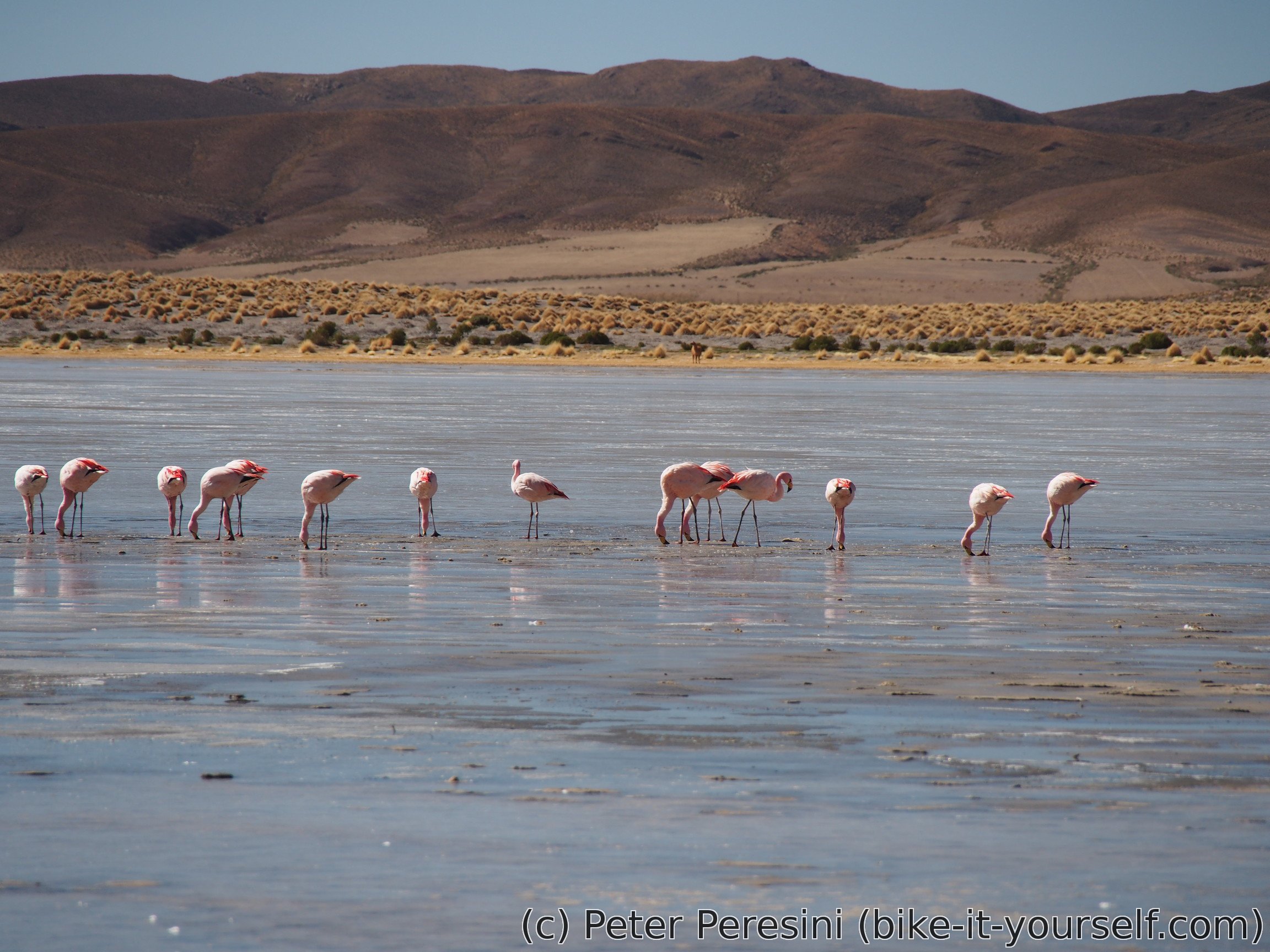
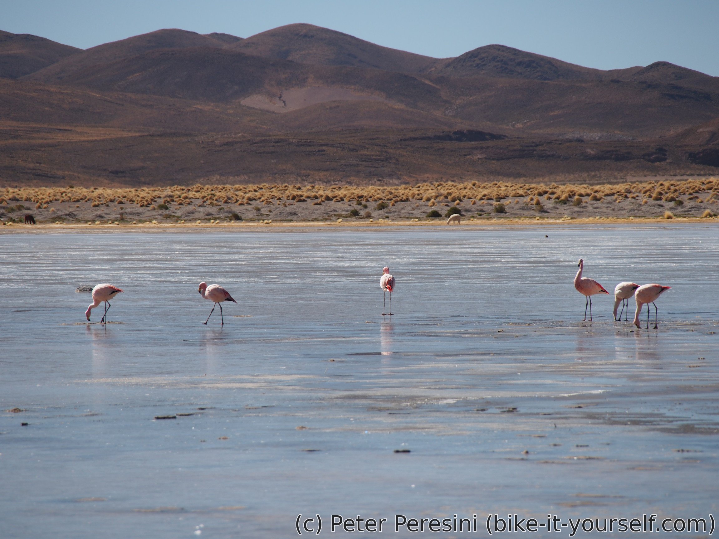
Then the road goes through a nice lagoon with lots of Alpacas around and flamingoes inside. I quickly take a few photos trying to get as near flamingoes as possible and continue further. To my surprise, this side-road is a very good road (for a Bolivian standards).


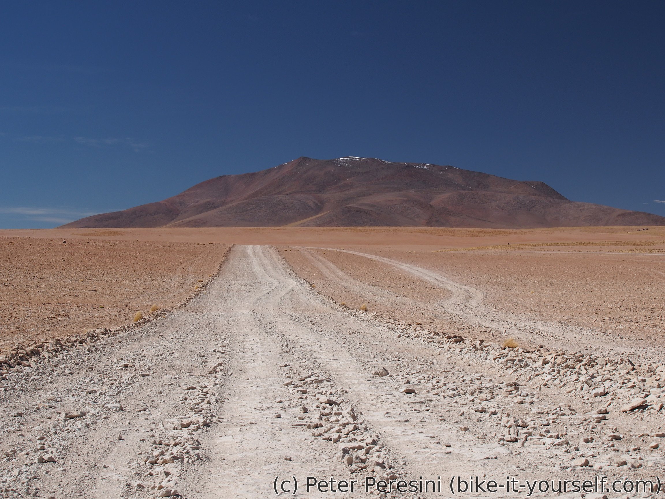
After some time I rejoin the original route. This becomes quite sandy at times but I am still making a good progress.
As usually, in the afternoon the wind picks up but as it isn't headwind, I am ok with it. I follow the jeeps to another rock monuments just off the road.

I still have quite some distance to Alota but fortunately it is going to be mostly downhill with a bit of undulations. On one such undulation I decide to take a shortcut. This proves to be a grave mistake -- the downhill shortcut quickly turns into a supersandy riverbed so I end up mostly pushing my bike. At least the shortcut wasn't that long.

Continuing the descent, I pass a junction to canyon on my left. While it looks quite nice, it is few kilometers away and I just don't have enough time to get there and back. Instead, I finally descend almost to Alota. As the main road seems to go in too much roundabout way, I am picking up a "cycling path" leading directly to the village. On one point I need to negotiate a sandy river which turns into a long ford-point seeking game. Fortunately, I manage to get my bike through without getting wet and I finally reach Alota.
After finding a hospedaje in Alota, I start to explore the local shops. It seems that this is much bigger village than Villamar. In fact, there are at least five shops here. Pooling all their merchandise together, I am able to find some quick-cooking espirales pasta. But apparently oatmeals aren't a big thing around here so my morning supplies are dangerously low.
There is even a "restaurant" here, just next to the main road. And while I am apparently the only customer around, the food is decent enough.
Route
Download simplified GPX of a route here
Stats by activity:
| Activity | Distance (km) |
Ascent (km) |
Pedal rotations (thousands) |
|---|---|---|---|
| bike | 133 | 0.8 | 36 |
| Date | Distance (km) |
Ascent (km) |
Avg. temp (moving, C) |
|---|---|---|---|
| May 17, 2017 | 49.1 | 0.31 | 8.5 |
| May 18, 2017 | 30.6 | 0.29 | 7.9 |
| May 19, 2017 | 53.4 | 0.20 | 10.3 |
Elevation data
The next table is only for cycling activity.
| Grade(%) | Ascent (km) | Descent(km) |
|---|---|---|
| < 2 | 72.7 | |
| < 4 | 9.2 | 11.8 |
| < 6 | 2.8 | 4.5 |
| < 8 | 0.9 | 3.4 |
| < 10 | 0.4 | 0.9 |
| ≥ 10 | 1.4 | 2.6 |