
Junín to Pucón (over Paso Carriñe)
 Share:


After being in Argentina for a few days, it is now again time to get back to Chile because I definitely do not want to miss Pucón. Plus crossing Andes provides everchanging views when the dry pampa of Argentina suddenly changes into green hills of Lagos region in Chile.
February 19
I am starting very late today (11 am) because in the morning I am charging a laptop and shopping for food (though I am a bit disappointed by the selection in the supermarket). However, the weather looks nice -- sometimes clouds and sometimes Sun. However, the whole night and even in the morning I can hear the wind in the camping. Which means that I am quite unfortunate as my today's plan is to go directly westwards.
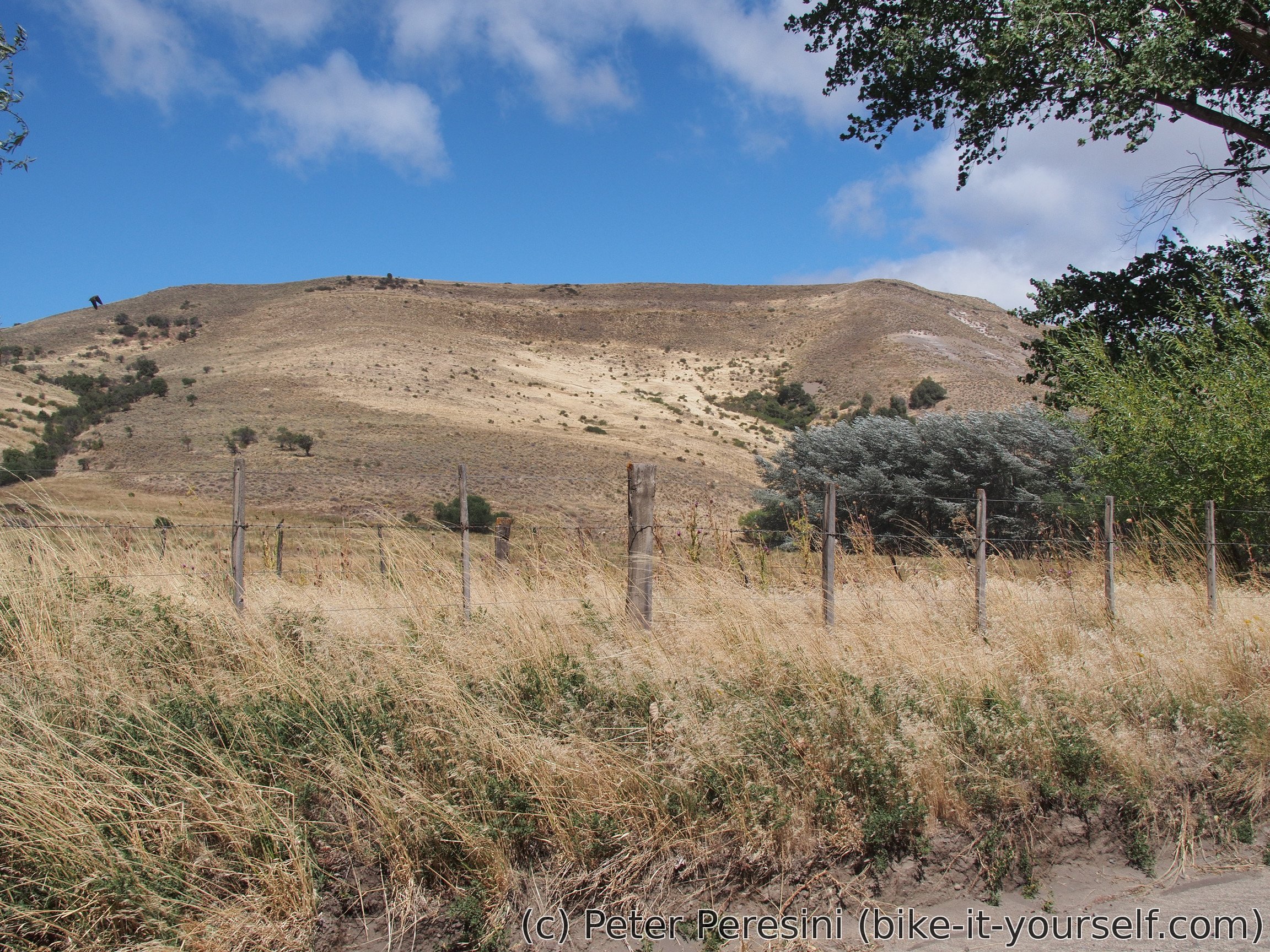
I end up battling almost Patagonian standard wind on not very good ripio. But the views are great -- there are barren pampa hills around. Nevertheless, I am quite relieved to find a non-windy place for a lunch.
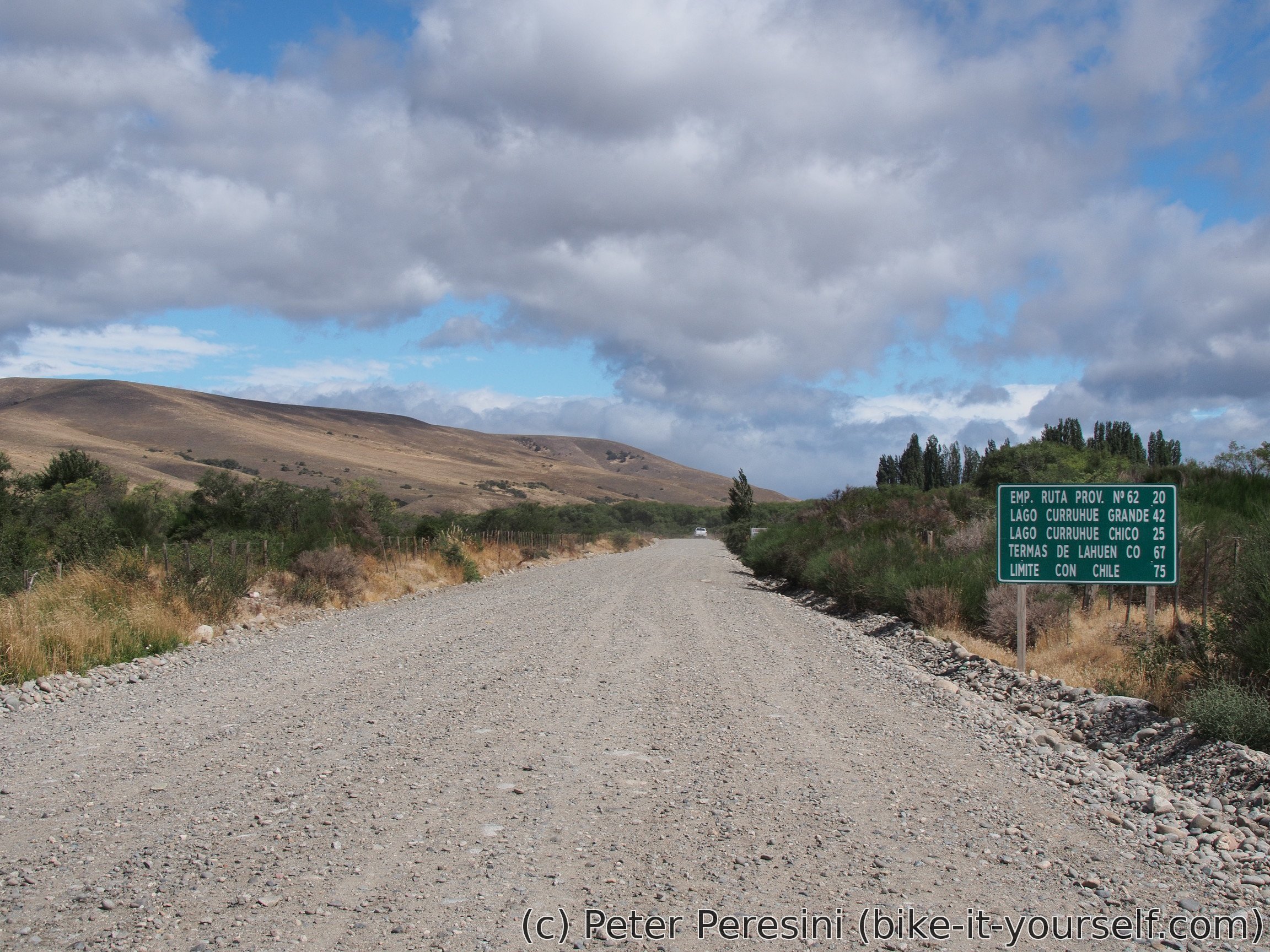
What is fascinating today is that as I am progressing to the west, I can really feel the rain gradient. It was completely dry in San Junín and on the next 20 kilometers it turned into some small water droplets in the wind. As I leave the lunch place this gets progressively worse with slight drizzle. So my plan is to find some camping and just finish the day sooner.
But before that I am making an inquiry with Carabineros. My GPS is showing that it is an aduana but apparently this is just a solitary police outpost and the real immigration is 40 kilometers more towards the pass. Only a few hundred meters afterwards I am entering National Park Lanín and starting my search for a camping. The next one is 4-5 kilometers down the road and by the time I get there I am happy to not go any further. The drizzle just got stronger.
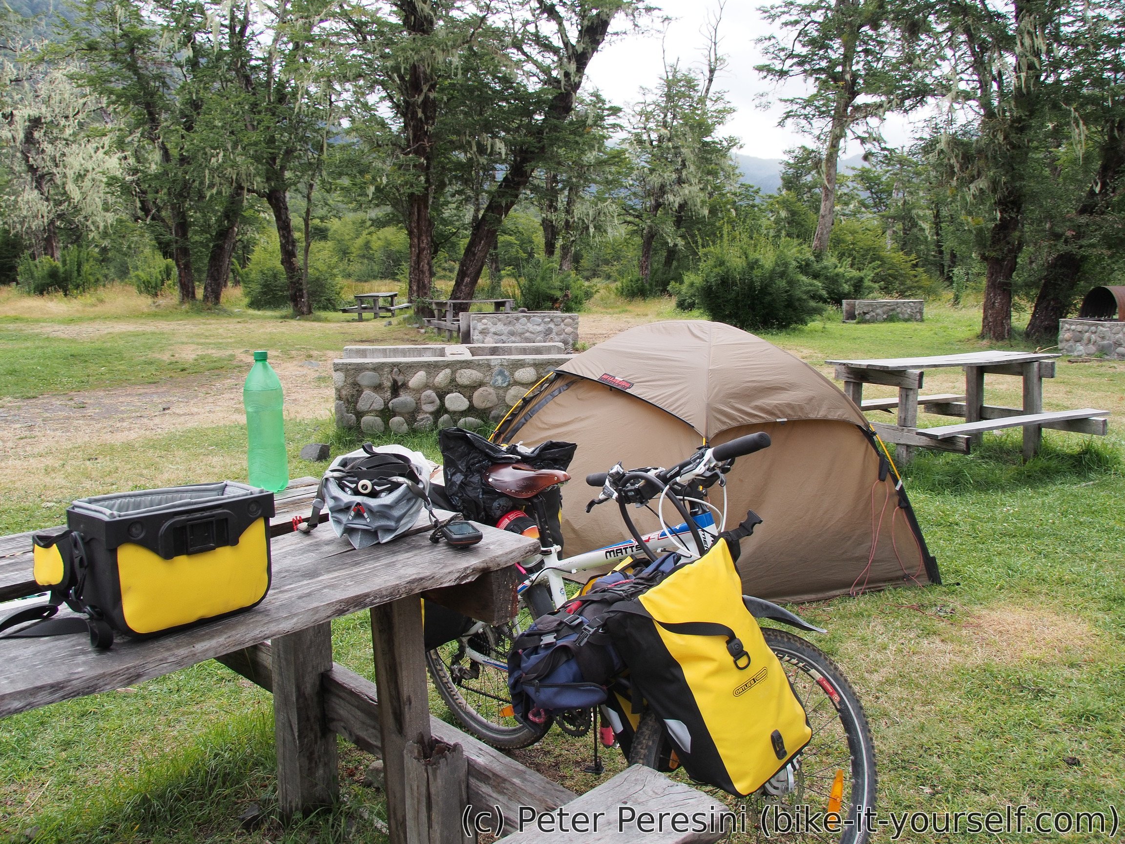
Camping itself is almost a wild camping. The only extras are 1) a fireplace and a wooden table 2) a toilet (which is locked and I need to ask for the key). The flushing mechanism is simply a bucket of water. 3) duchas but these are far from being hot unless you want to start a fire. 4) A house of camping manager with his wife. Or maybe I should call it a shed because it looks exactly like one.
As I setup up the tent, the nature forces are in play around me. I can see droplets of water in the air. But unlike normal falling water, these are flying almost horizontally because of the wind. I am thus happy to get inside the tent (which is a bit shielded from the wind and thus water as well) and finish this very short (distance-wise) day.
February 20
In the morning the forecast's promised improvement of the weather isn't happening yet. It wasn't drizzling for a while, then started again. I am not very motivated to pack the tent but if I want to be on the other side of the pass today, there is no point in delaying the inevitable. So it is still drizzling while I am packing the tent. But the forecast actually shows to be right -- as soon as I start cycling, the weather slowly clears.

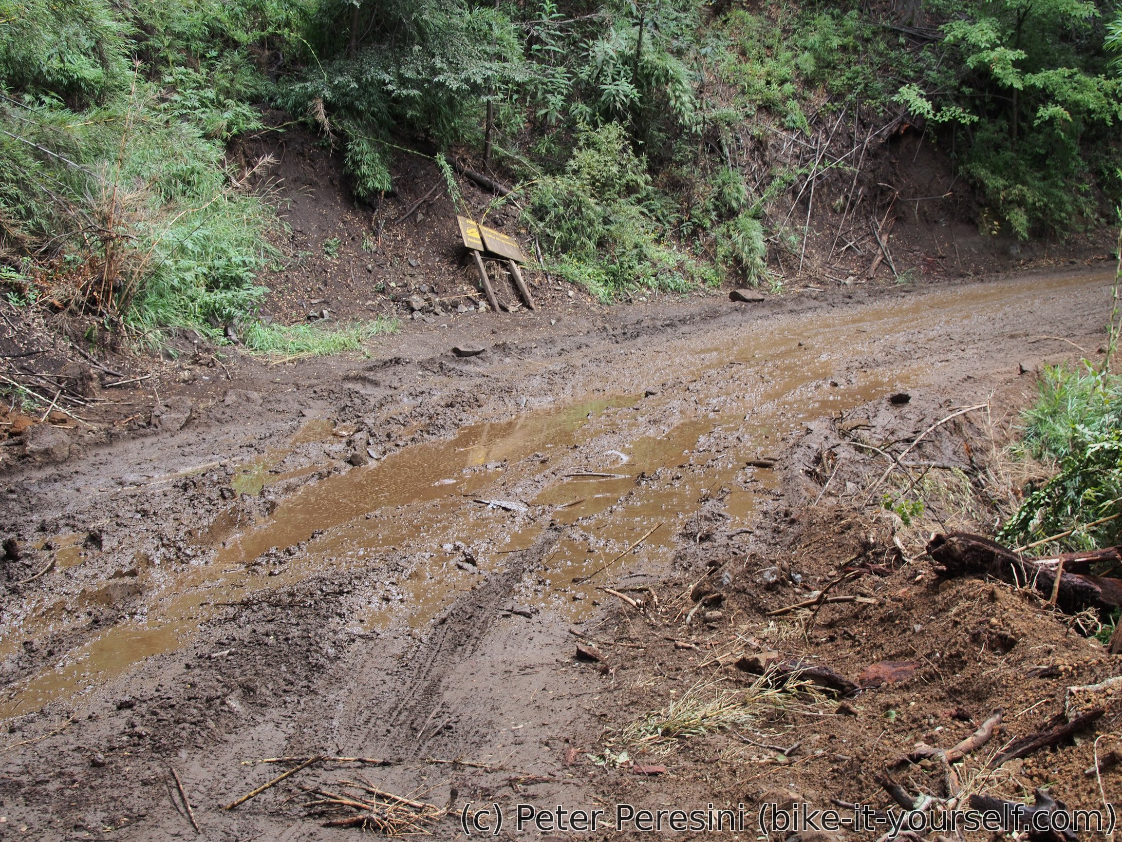
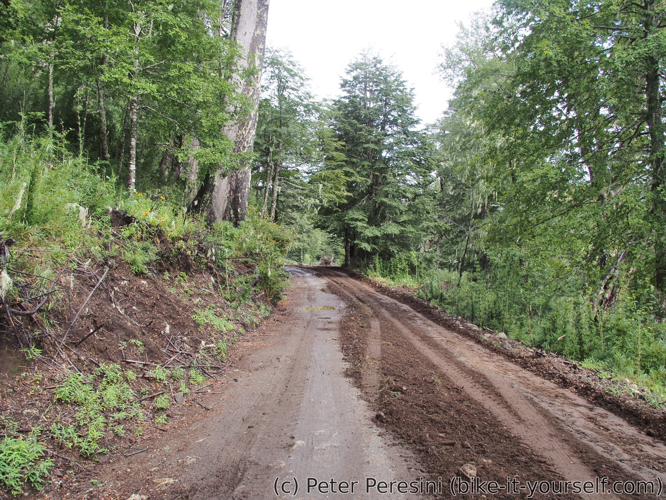
First it stops drizzling. Then I can see a very tiny bit of blue sky and water vapors are soaring upwards. Despite the (so far) not stellar views, I am definitely not bored today. This is because the road tries to challenge me with mud. Fortunately, it is not critical and apart from few short sections I can ride everything.

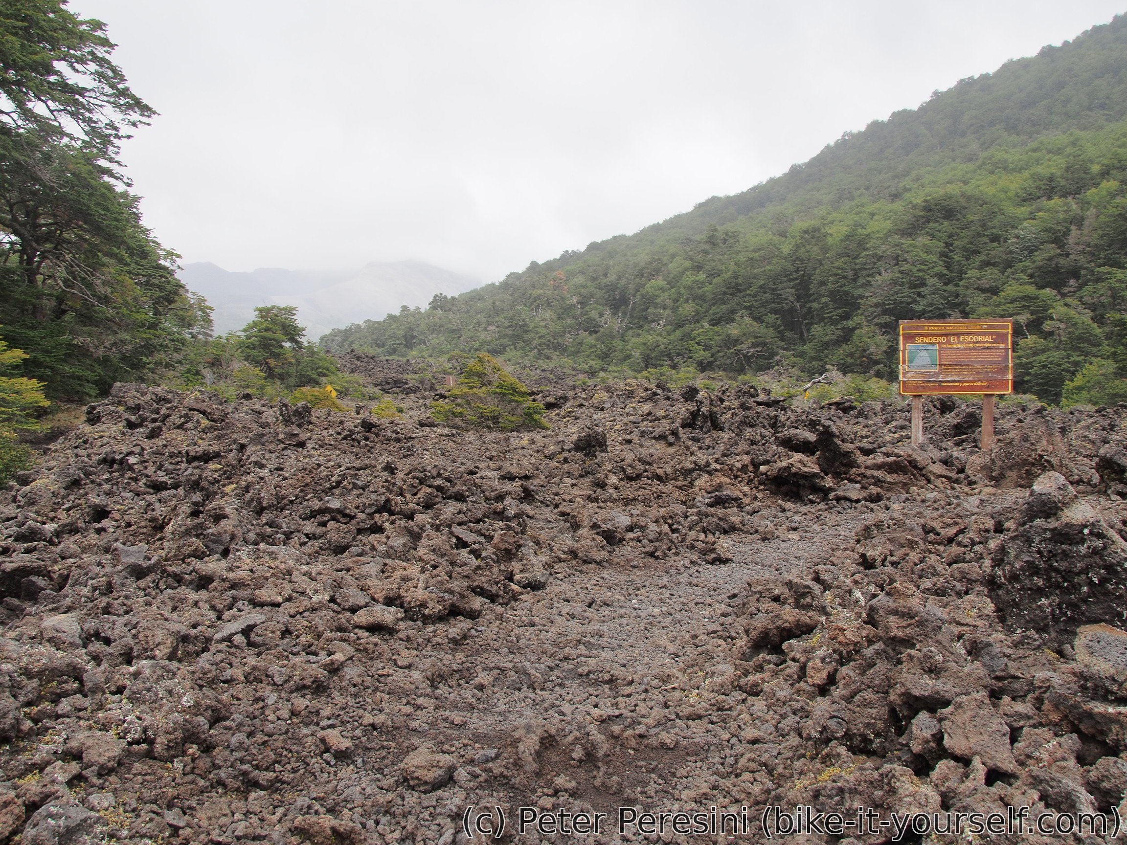
When I am hungry and looking for a good lunch spot the fortune turns on me -- I came across a small lava field which is a perfect place for sitting down and reducing my food weight. Unfortunately, at this point it starts to drizzle again. Fortunately, it clears after a while.
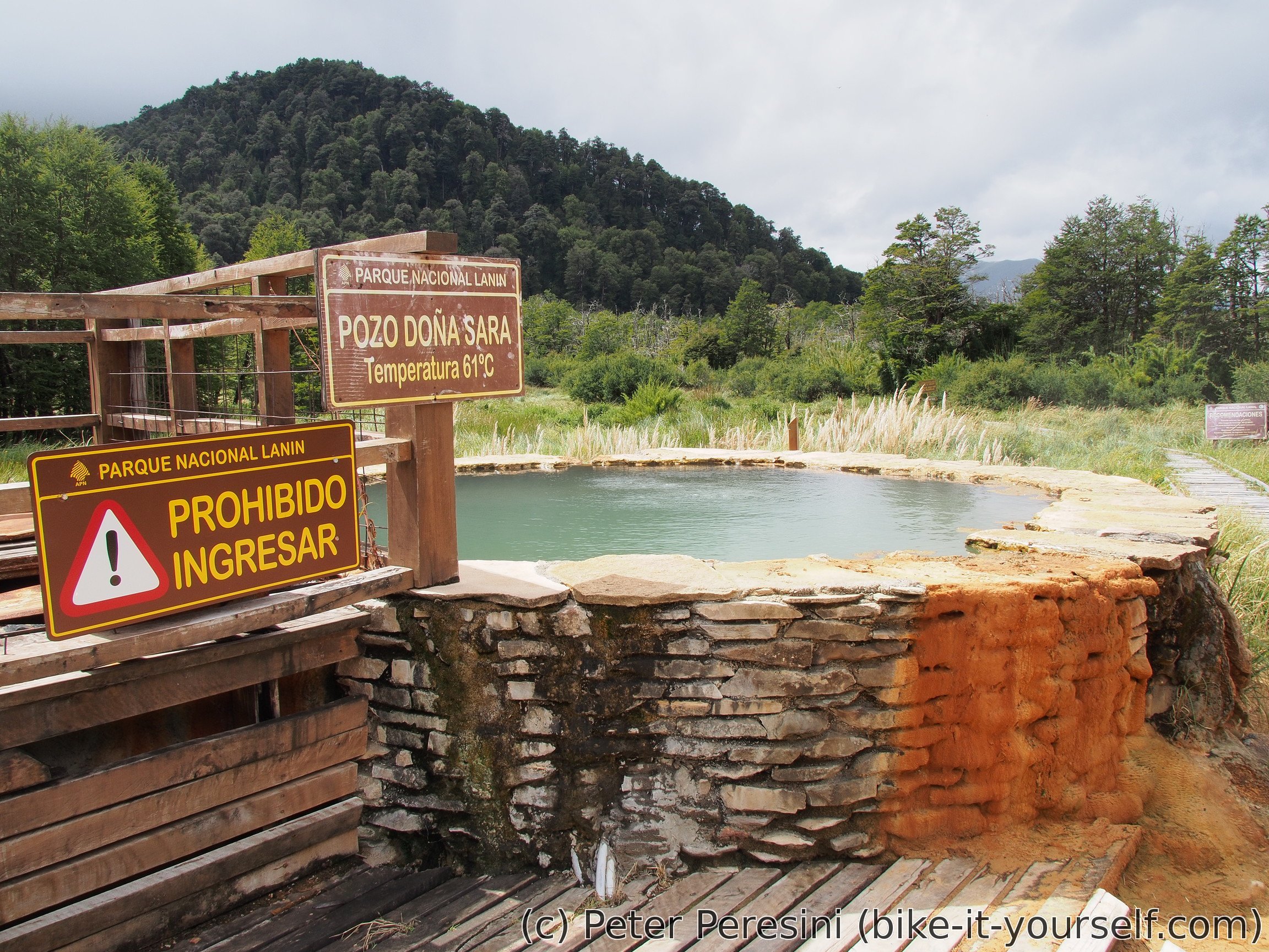
On my way I am passing thermas and heading to the immigration which is just 8 kilometers from the top of the pass. And they tell me that the pass is closed today. Huh? How that could happen? Well, I would learn the reason if I knew more Spanish because the immigration guys are trying to explain it to me. My internal guess is that it might be too muddy. The only thing I could definitely understand though is that the pass is going to be open tomorrow.
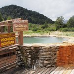
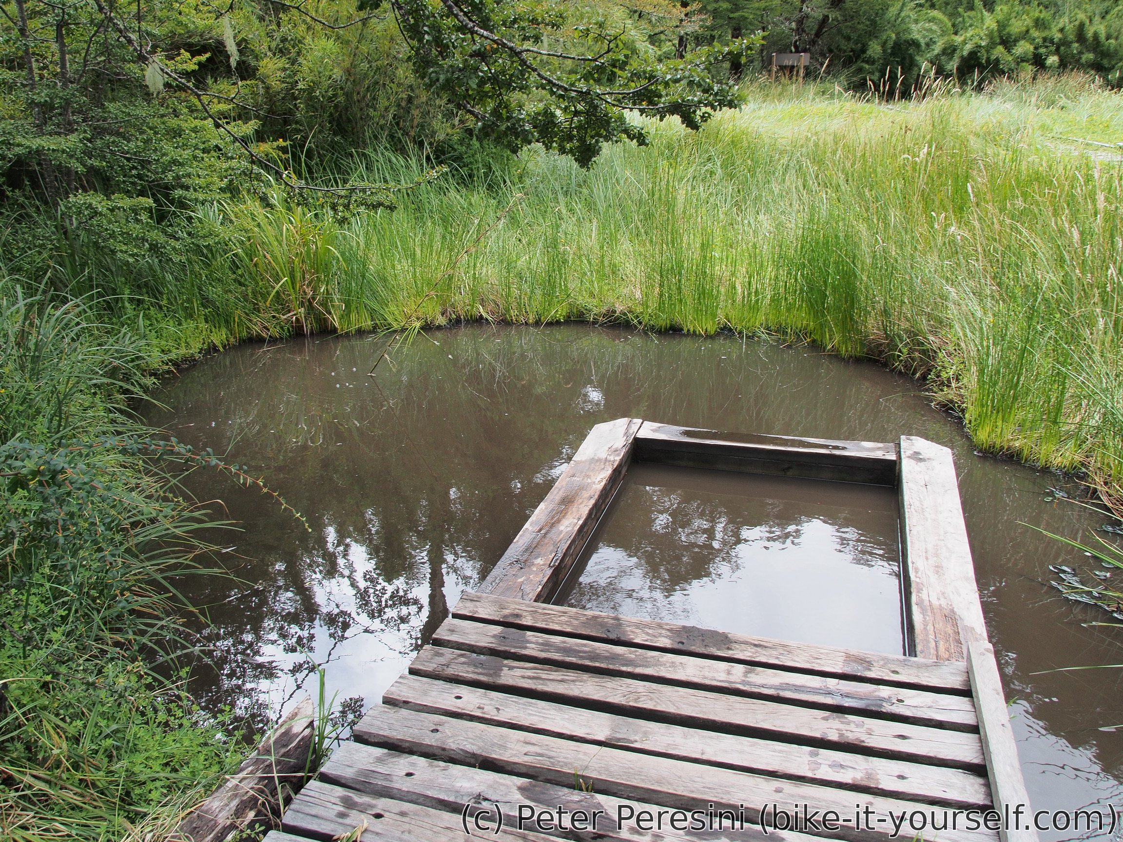
As unhappy as this seems, everything has a good side of the coin. Instead of sweating in the uphill I am going to see the thermas. Which, I am learning, are for free. But I need to walk there -- there is about a half-a-kilometer short walk on wooden platforms leading to the thermas itself. At the beginning there is one 68 degrees pool but this obviously isn't for bathing. The "pools" that are further are around 38 degrees. I am quoting pools because the whole thermas are basically built on top of wetlands and the pools themselves are just a small wooden barriers marking where the safe zone is. So I am enjoying a nice muddy bath for a long time before I head back to the bike.
Fortunately there is a camping just few hundred meters back so I am ending up there. After I setup a tent, I am working on a dinner. Which is when a local park ranger appears and is apparently hungry for a conversation. Even after there is nothing more to say, he just sits there and observes me reducing the dinner into an empty pot.
A while later I can see some cars passing on the opposite direction. Which seems to be a bit suspicious given the fact that I did not see the cars going towards the immigration. And when a cyclist appears, it becomes clear that the pass is again transitable. The cyclist also explains me why the pass was closed -- apparently from this morning there was a fallen tree on the road and they were working on removing it. In any case I am remaining in the camping (I already paid and it is slowly getting a bit late anyway). Which proves to be a good idea because a bit later it starts to drizzle again.
February 21
You would think that a camping should have some basic services, for example a trash bin. As I am learning in the morning this is not true here. So I am forced to take my trash with me.
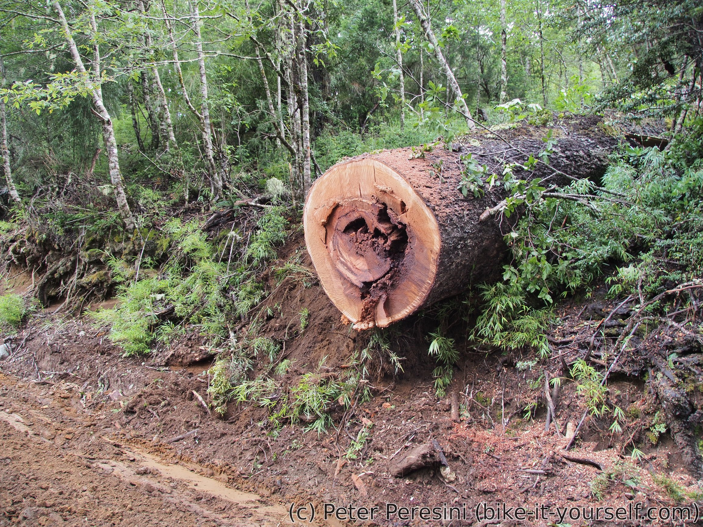
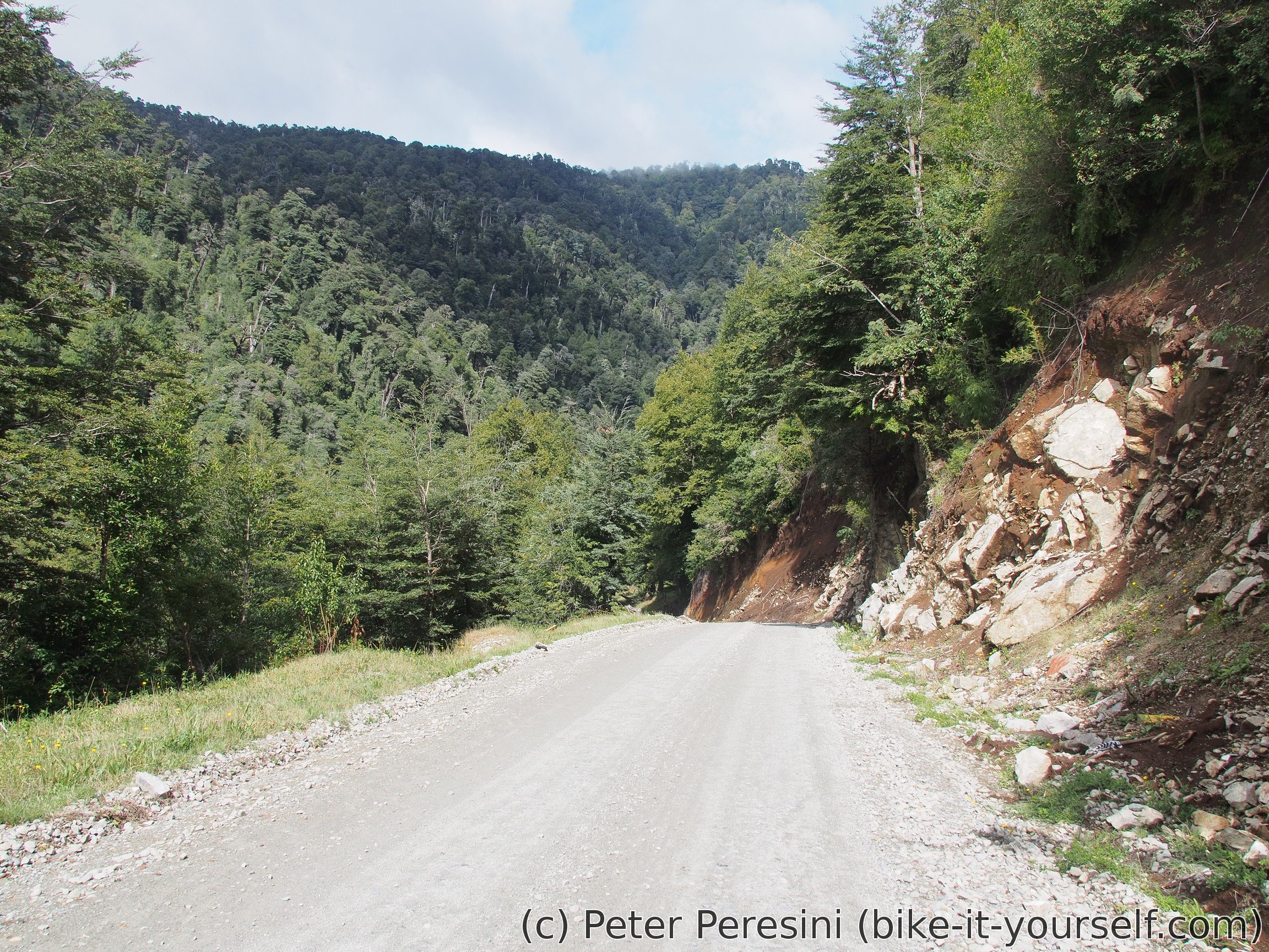
With start at 9:15 and 8 kilometers to the pass I am hoping for many kilometers today. The weather isn't the best. To be more precise, it looks like it would be very nice if there weren't low clouds all around. With 200 meters of ascent I am hoping for an easy ride. Unfortunately, there are some very steep sections which, combined with the kind-of-muddy road, leave me no option but pushing. I even spot the reason of yesterday's closure of the pass. The tree is quite big.
Almost at the top of the pass I am seeing a ripio-plowing machine. I saw it in the morning from the camping (which immediately created bad foreshadowing) and now it is going against me and completing the second side of the road. Although, it is hard to say which part is worse -- the newly plowed part is soft but the old one is more muddy.
As I am passing the frontier the road suddenly changes from forest track to a decent ripio. Which is quite surprising given that the map I had showed it of a worse quality. The Chilean side is steep downhill and it doesn't take long for me to reach the immigration. Where they are doing a good job of checking my luggage for food.

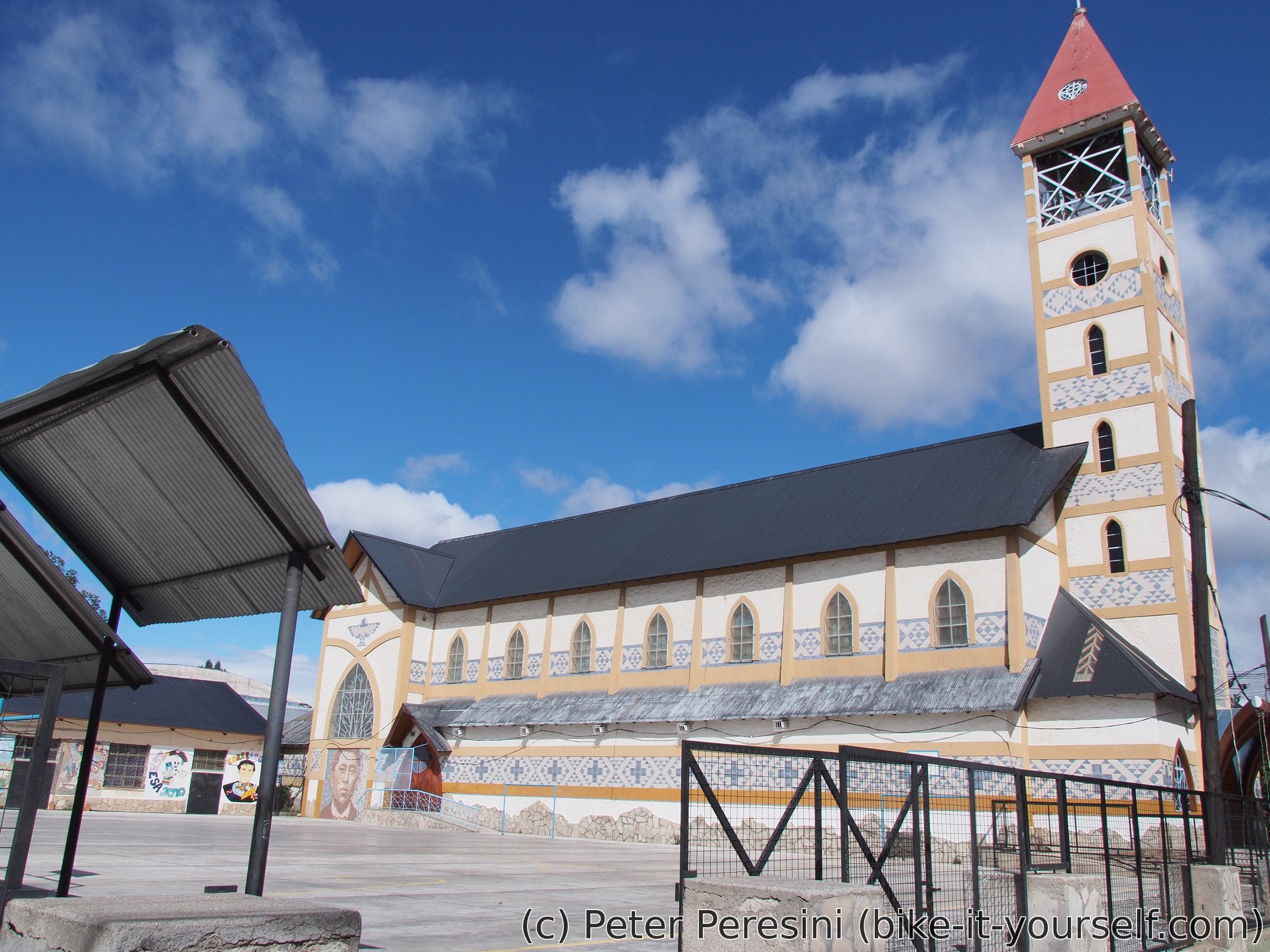
After the aduana the road continues steeply down. Eventually it flattens and I am reaching Liquiñe. I was expecting a small village with a house or two but Liquiñe is almost like a small town. In any case, it is time to shop for food and have a lunch.
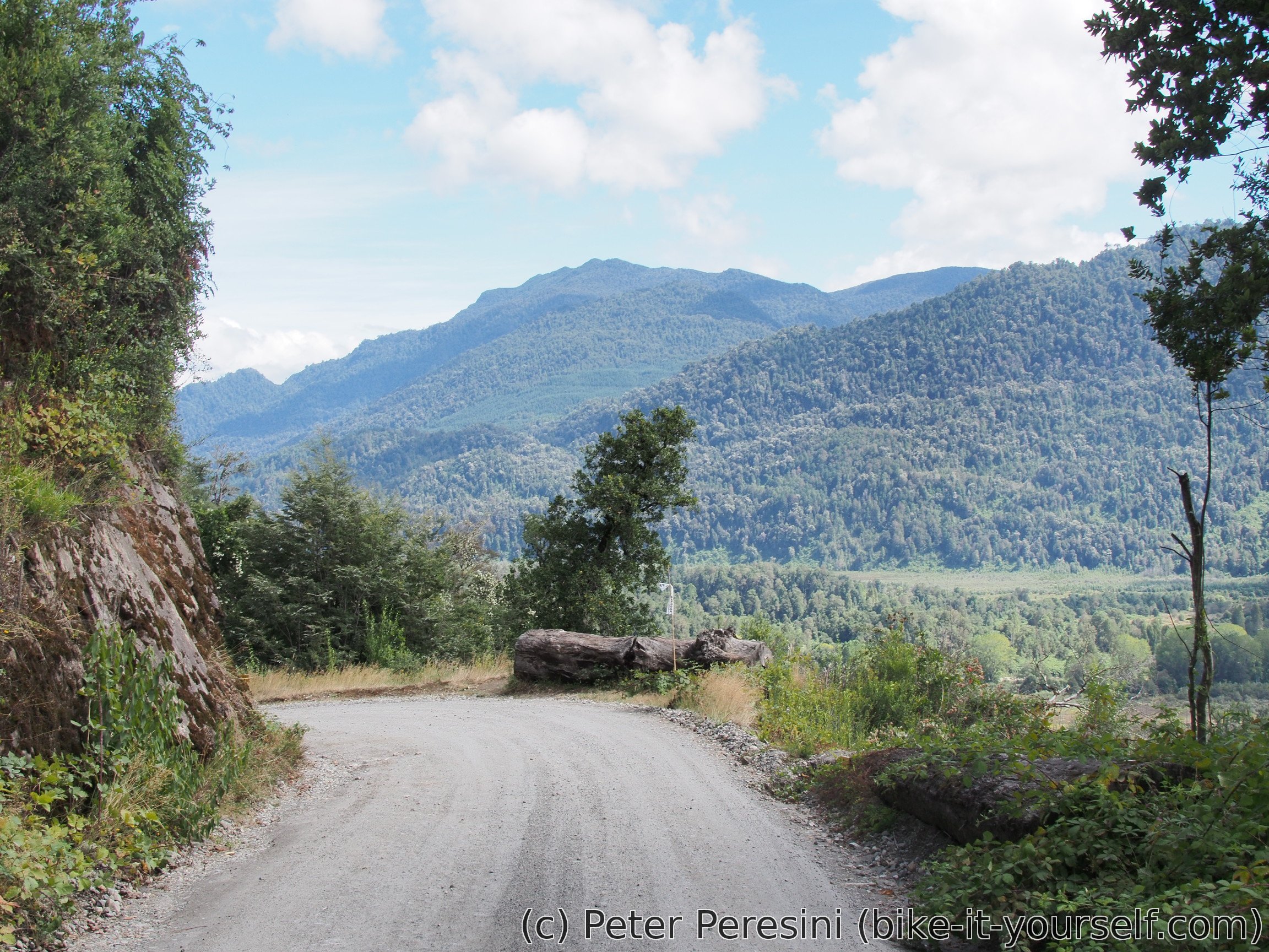
It also looks like I will have a paved road for a while. Which goes maybe for 10 kilometers before it again ends. I am now pondering on taking a detour -- my goal is to reach Pucón but I am estimating that if I push hard enough the 60 km detour wouldn't delay my arrival to Pucón. So I am turning to the south where I should get a view of another volcano.
What I didn't expect is that the road which goes through a valley actually isn't going through the valley. Instead it climbs 200 meters above and a relatively steep bud decent ripio. Because I am now down with elevation and the Sun is just blazing, the temperature goes high and I am sweating so fast that I could beat a hydrant.
Then the road goes down and along Lago Neltume. After which I am surprise to find a paved road. Good, because I was worrying that the detour would take me too long. The paved road is in a perfect condition and goes around Lago Panguipulli. The views are perfect. But the road itself is demotivating -- every time it climbs a few tens of meters it goes down again and this repeats and repeats. It eventually leaves the shores of the lake and flattens but by this time I need to find a camping spot. I am hoping that a ripio shortcut I am planning to take will provide me with some possibilities to camp. Unfortunately this is not true. There are fences almost touching the road all around. And the road is much more frequent than I expected. As such, when it really gets late and I do not want to risk going more because there should be some village just a few kilometers ahead, I am spotting an emergency solution -- there is an intersection with a private road (which is fenced as well) but the place is big enough to fit my tent and still leave some space if the owner of the private land decides to pass.


February 22
I am waking up into a mist. And generally, low clouds. Which is refreshing cold compared to yesterday's afternoon. The clouds are slowly clearing and the no-so-exciting views are getting better around Lincan Ray. There I am asking for water because I did not come across any stream so far today. Afterwards there is a little bit of a climb and then a flat section until final descent to Villarica. Unfortunately, this road is extremely busy and is far from enjoyable.
In Villarica I am visiting post office and spending there a lot of time because I am trying to get rid of around 2 kilos of stuff and send it back to Slovakia. In the end I manage to do it so I am happily pedalling a few percents faster.
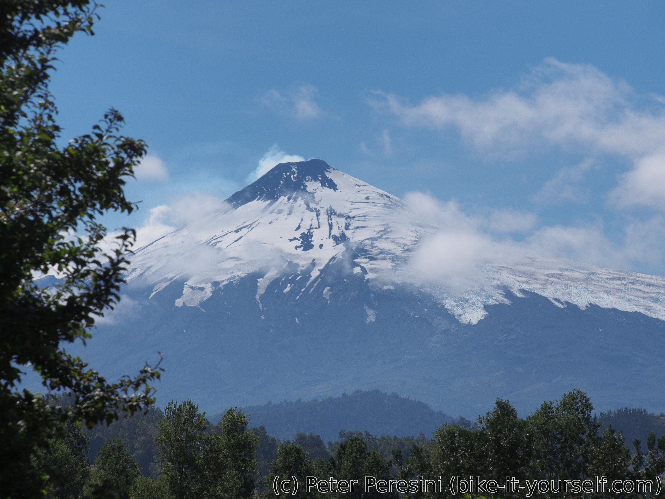
Villarica also brings superb views. Namely Volcán and Lago Villarica. But my day does not end here. I am cycling the last 20 kilometers to Pucón on another busy road.

In Pucón I am finding a camping (unfortunately without WiFi but otherwise very nice) and going to the center to plan my adventure stay here.
Route
Download simplified GPX of a route here
Stats by activity:
| Activity | Distance (km) |
Ascent (km) |
Pedal rotations (thousands) |
|---|---|---|---|
| bike | 247 | 2.4 | 54 |
| stroll | 1 | 0.0 | - |
| Date | Distance (km) |
Ascent (km) |
Avg. temp (moving, C) |
|---|---|---|---|
| Feb. 19, 2017 | 30.8 | 0.29 | 21.0 |
| Feb. 20, 2017 | 38.7 | 0.39 | 18.4 |
| Feb. 21, 2017 | 99.2 | 1.22 | 26.0 |
| Feb. 22, 2017 | 79.1 | 0.54 | 25.8 |
Elevation data
The next table is only for cycling activity.
| Grade(%) | Ascent (km) | Descent(km) |
|---|---|---|
| < 2 | 108.1 | |
| < 4 | 17.6 | 23.2 |
| < 6 | 9.4 | 11.0 |
| < 8 | 5.8 | 6.1 |
| < 10 | 2.7 | 1.9 |
| ≥ 10 | 3.5 | 6.7 |
Misoprostol Grossesse Evolutive Badype <a href=https://bansocialism.com/>cialis prices</a> Nurify Cephalexin And Blood Sugar Level
https://vsdoxycyclinev.com/ - buy doxycycline canada delivery
<a href=https://gcialisk.com/>buy online cialis
<a href=https://vslasixv.com/>lasix pay online american express
<a href=https://vsprednisonev.com>mnon prescription prednisone