
Icalma to El Huecú (over Paso Pino Hachado)
 Share:


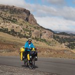
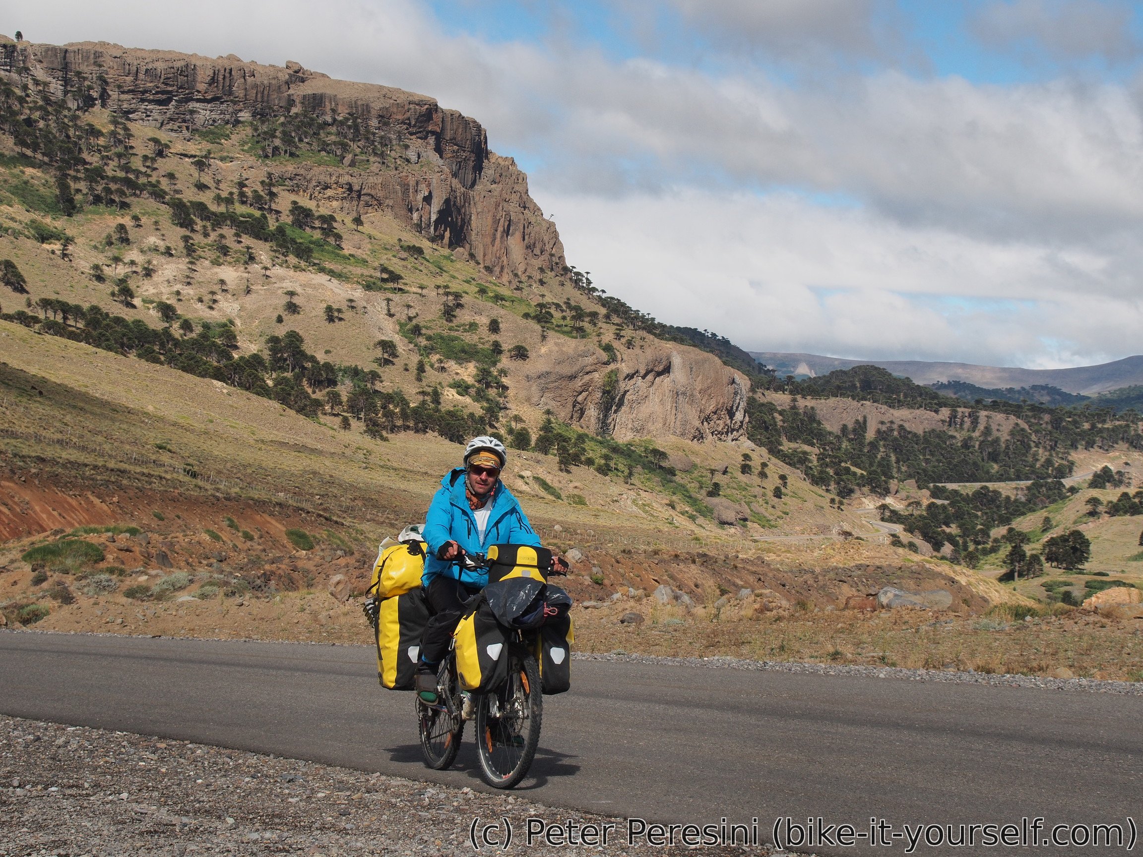
Paso Pino Hachado is a paved pass between Chile and Argentina. It is one of the major passes which means a rather heavy traffic. But otherwise it is quite nice. The only problem seems to be that I like to collect bad weather in passes.
February 28
In the morning I am throwing away my bike lock. I guess somehow the ripio grit got inside the lock and now it was getting hard to open. It is a shame that I got rid of another steel wire (which could work as a bike lock when combined with a normal lock) just a few days ago.
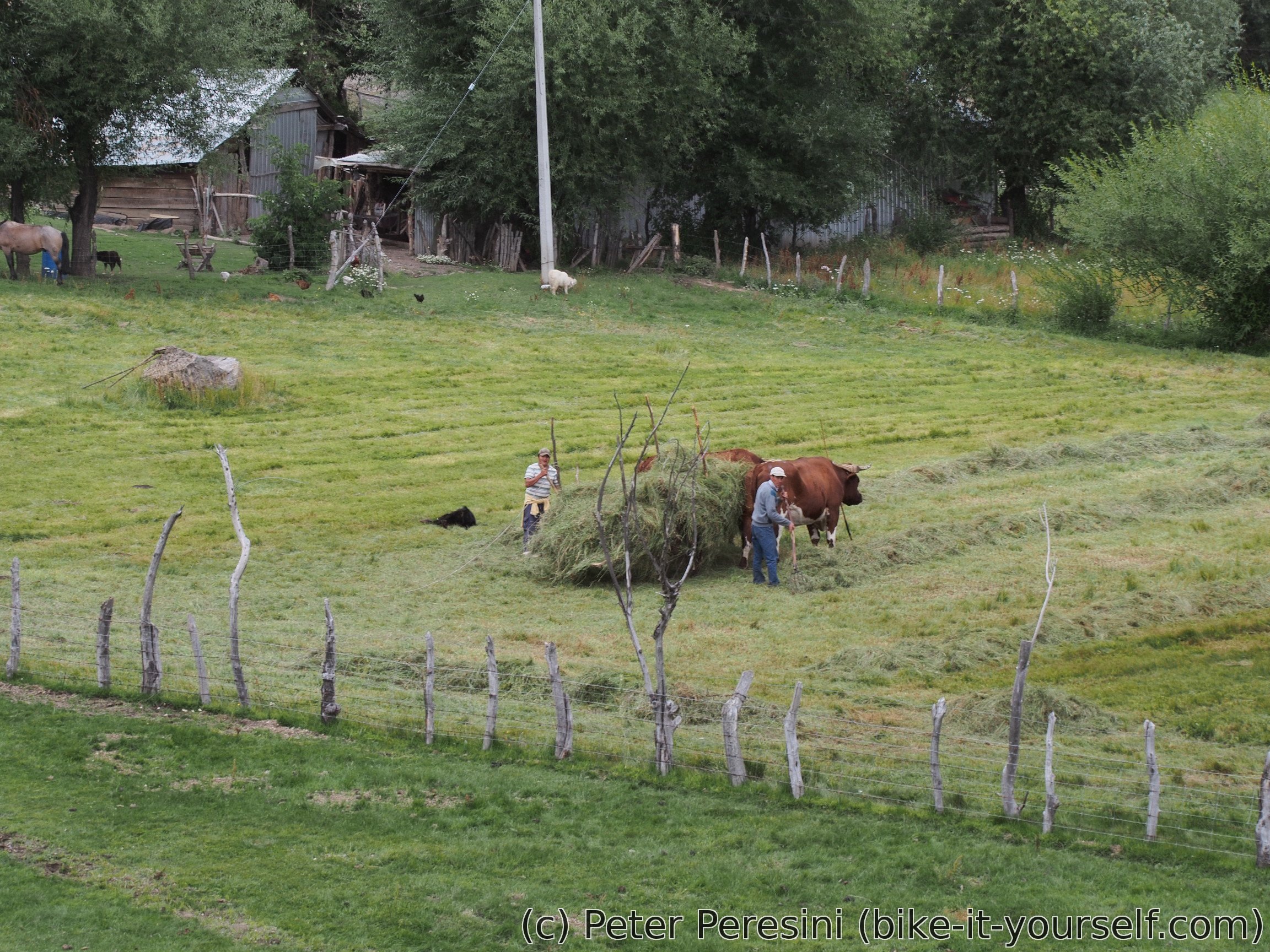
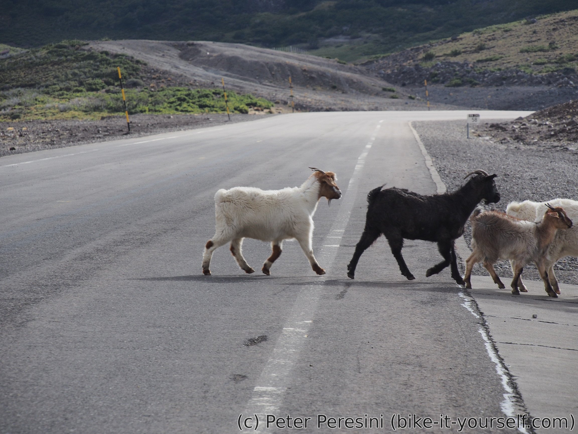
From Icalma I could cross directly to Argentina. However, I am choosing a different option (read: more climb) -- I am going to a 30 km distant village Liucura first. The road is waving through a farmland -- I can see a lot of houses but they are quite distant from the road. Of course, there are many traditional onlookers such as cows and horses. The ripio itself is of a mixed quality -- either it rolls good or it is full of small rocks and tricky to pass with a bike.

When I see Liucura I realize my mistake -- this is not a full-fledged village. It is basically only an immigration post. And man, there are so many people waiting here. The queue is long and thus I am able to eat all my lunch safely before it is my turn.
More about waiting I am worried about the weather. The wind picks up (but it is going to be a tailwind so no problem here) and in the distance I can see suspiciously dark clouds. And to the pass itself it is 800 meters of ascent over 22 kilometers.
After I clear the immigration the race with the weather starts. I am trying to push hard and the tailwind is definitely helping. In that sense I am lucky -- I am meeting two Italians who are going in an opposite direction and now are resting at a bus stop. They claim that the Argentinian side of the pass was a complete wind torture. After a brief chat we say goodbye and I am again racing with the time.
Unfortunately, I am not fast enough. When I reach Reserva Nactional Alto Bio Bio the rain really starts. And it is not a light one at that. No, it is a heavy shower which does not seem to end. As I am cycling, I am very surprised to see another aduana. Apparently they have two and this one is used only in the Argentina-Chile direction and probably only for trucks. They also have a lot of dry space there. I am having a long break under a big roof but even this isn't very nice because I am whipped by a cold wind. As the rain does not seem to get better, I even ask them if I could camp at some dry place there. Unfortunately, the answer is no. But at least they tried a bit (the guy apparently goes to consult with somebody else before he finally confirms his "no"). He recommends me carabineros about kilometer uphill. So I continue cycling for a bit more. When I reach carabineros, "a building" is definitely not a definition of it -- it is a small hangar-like shack out of steel. Unfortunately, the carabineros are even less understanding than aduana. The "jefe" says no even as he sees me with a bike completely wet and they have dry space under their sleeping quarters where my tent would perfectly fit.
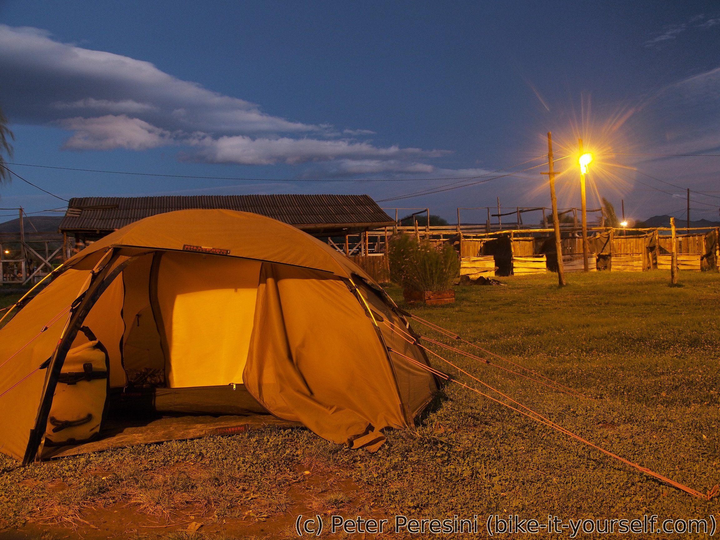
Defeated with this uncommon non-sympathy for a biker in a bad situation, I continue further for a search of some place. I am finding it only about 500 meters more -- a big parking-lot-like space (or basically, a big machine-flattened-earth space). Even though I am only about 100 meters of elevation from the pass, I am definitely deciding to camp here as the weather is just going crazy with the rain and the wind. Of course, this means setting up a tent in a very non-ideal conditions but there are a few rocks big enough for holding down the tent. I am super happy when the tent is standing and I am (relatively) dry inside. I just enjoy the warmth of my sleeping bag and hope for a better tomorrow.
In the end the rain stops late in the evening so technically I could have gone further and find a better campsite on the Argentinian side. But hey, I can now again claim to be sleeping in a land of nobody as according to my passport I am neither in Chile nor in Argentina.
March 1
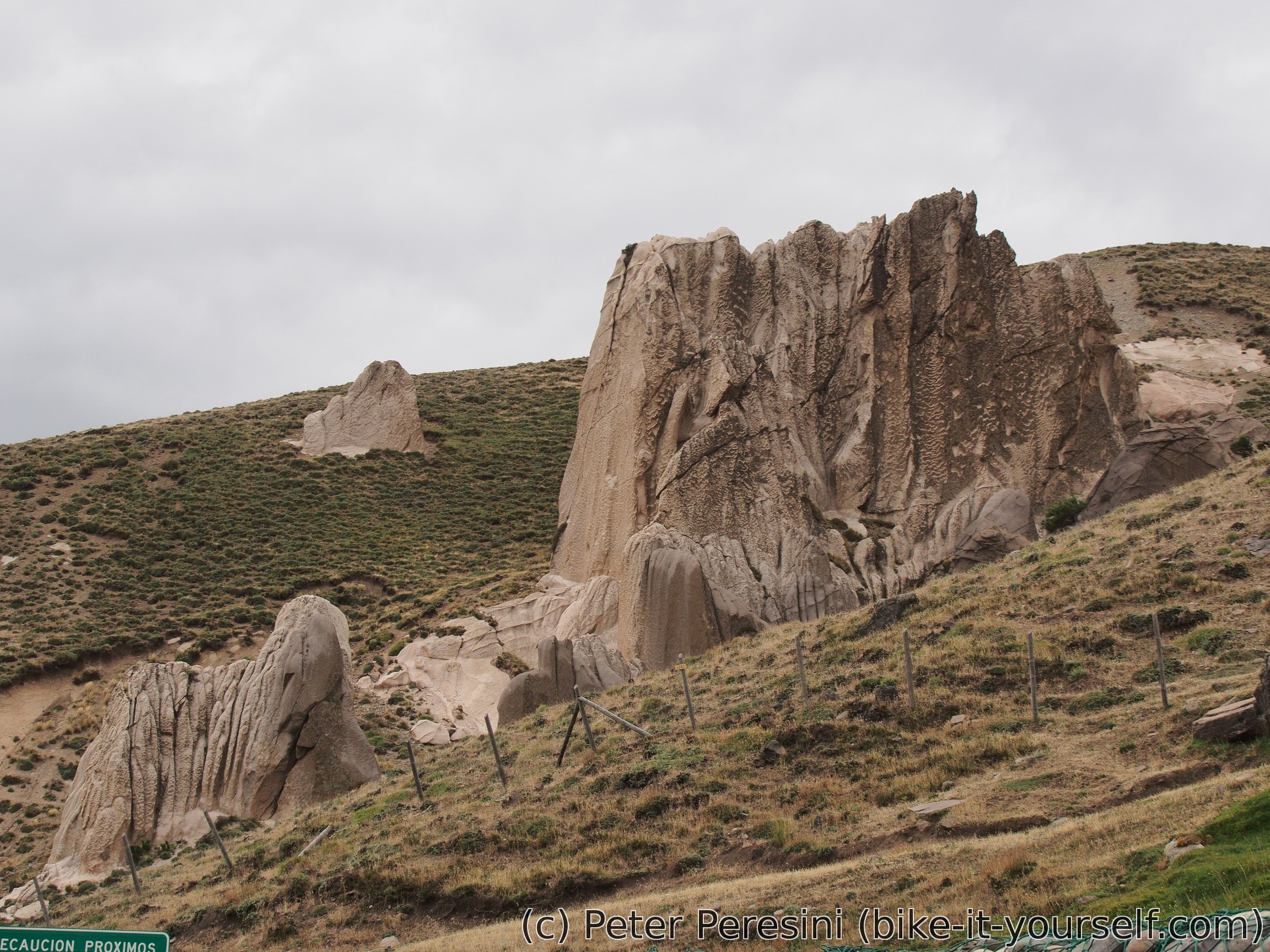
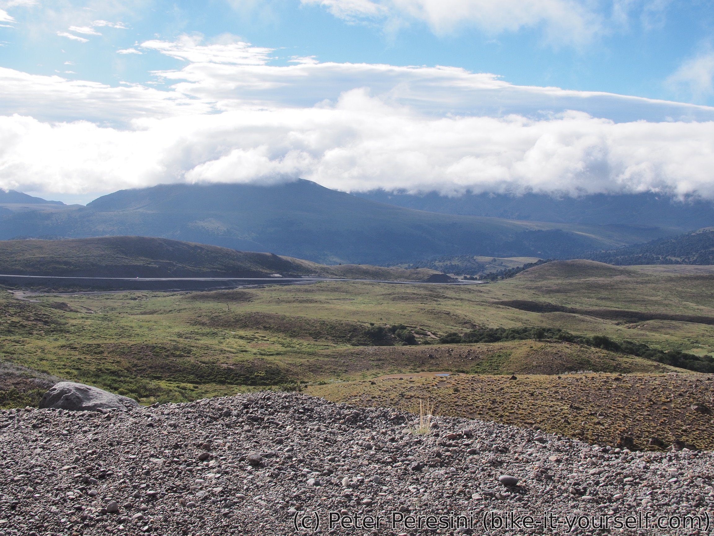
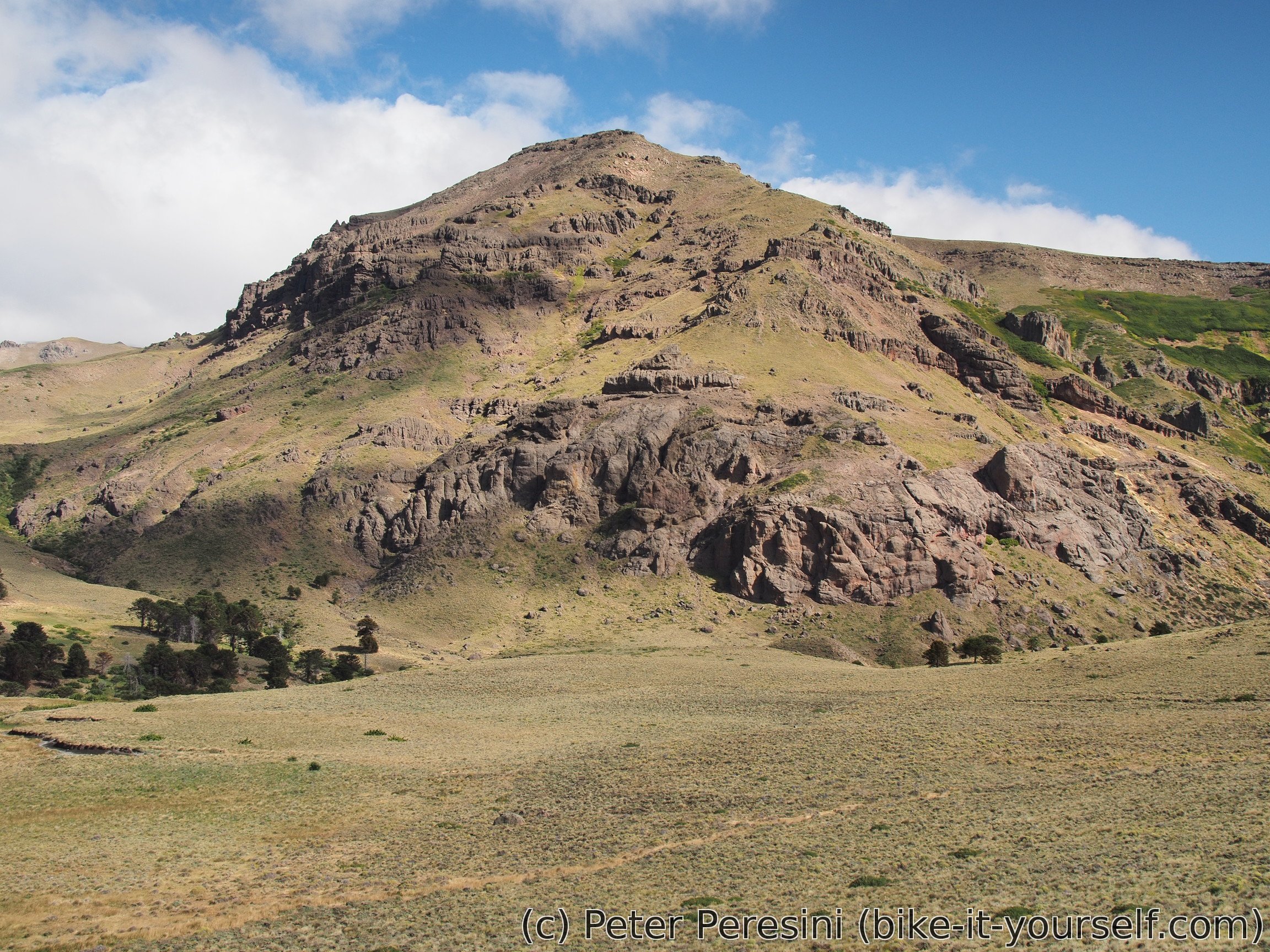
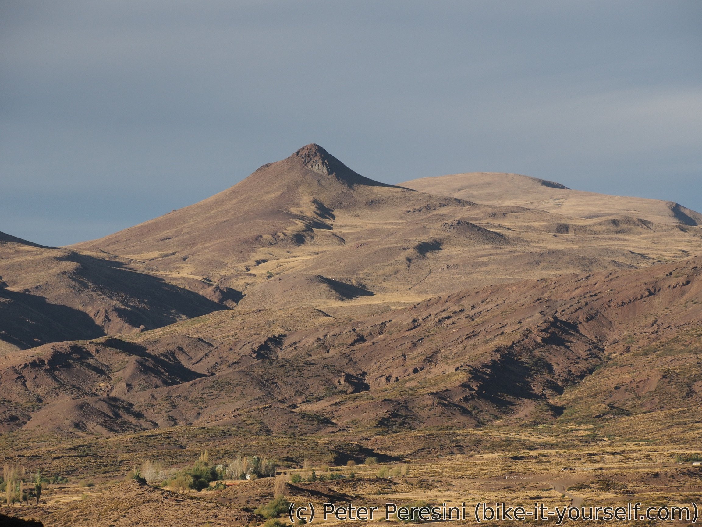
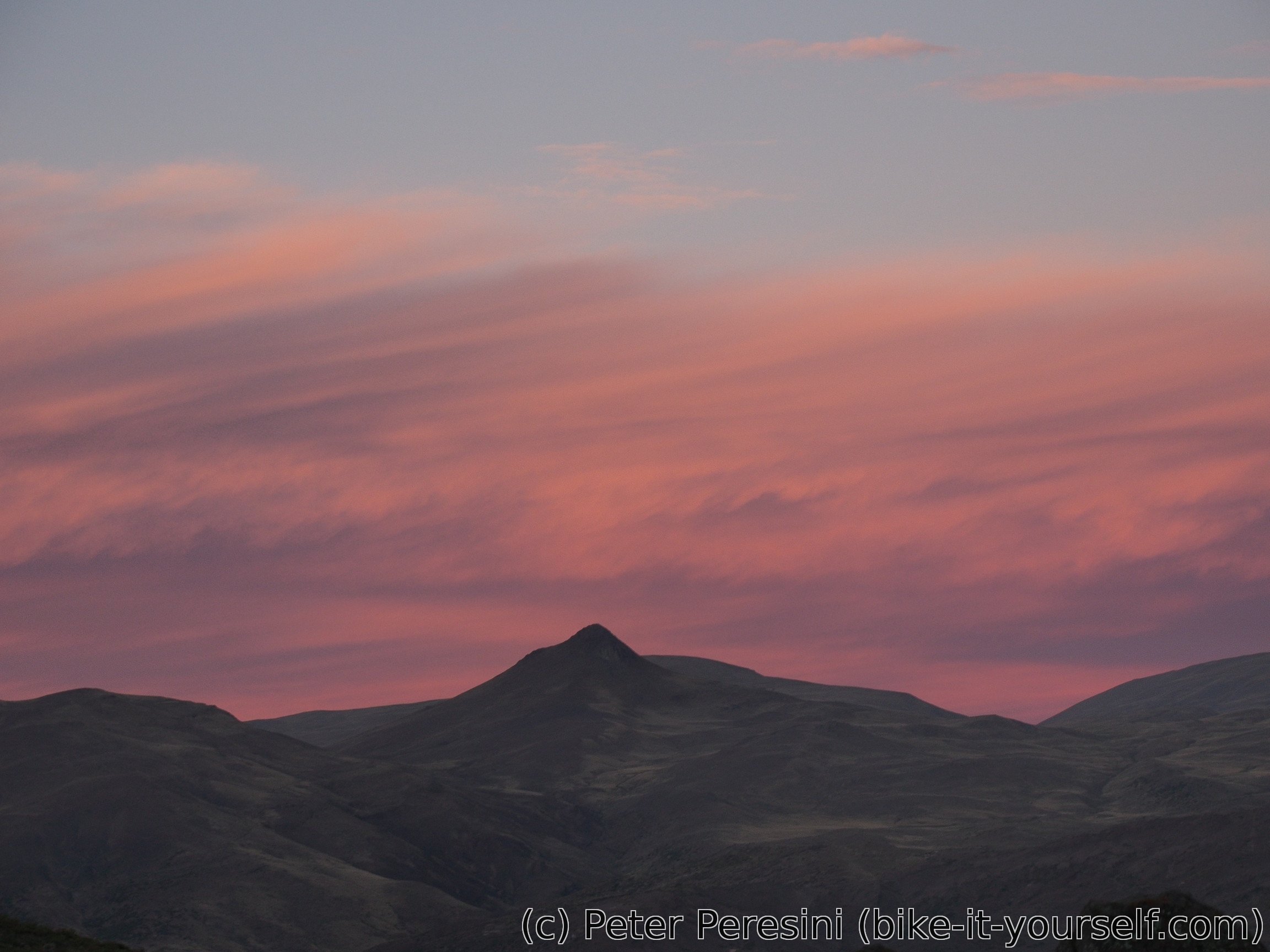
Morning is cloudy but without a rain. And it is quite windy which means that I can dry my things just by hanging them -- it is not 100% but better than nothing. At 9am I am ready to finish the last 100 elevation meters and then hooray down. The views from the pass are very nice so it is good that I did not continue yesterday as I would miss them.
At the aduana I am waiting with a cars for a decent while until I decide to skip them -- without any movement I am getting quite cold. All in all, I am done with the immigration in 45 minutes and then enjoy the rest of the descent.
After 50 kilometers of downhill where I lost one kilometer of altitude I am ready for lunch. And by the amount of west wind, I am quite happy that I did the pass from the Chilean side. It would be a torture to climb against this wind for 50 kilometers and I can now understand why Italians were so destroyed.
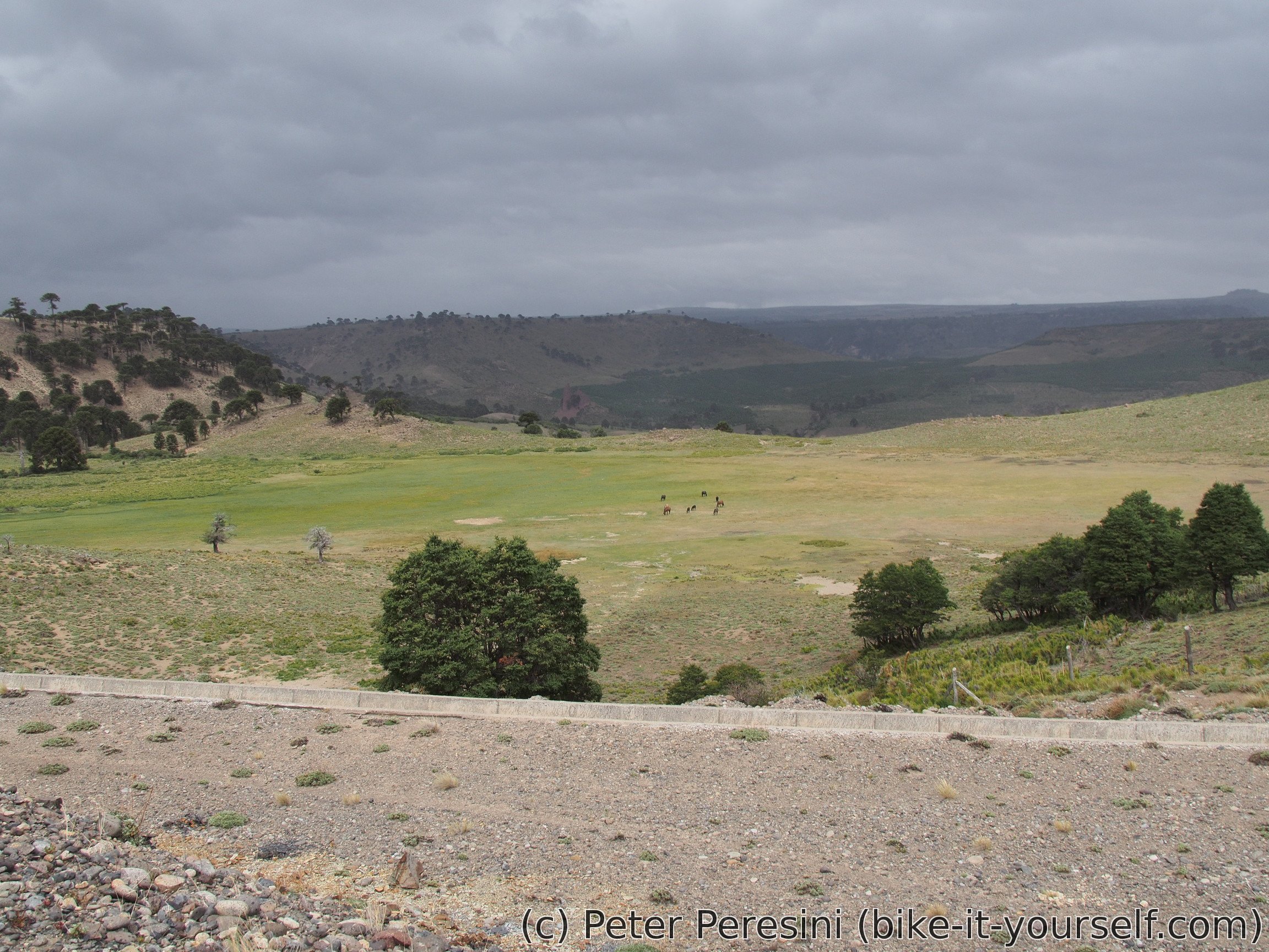
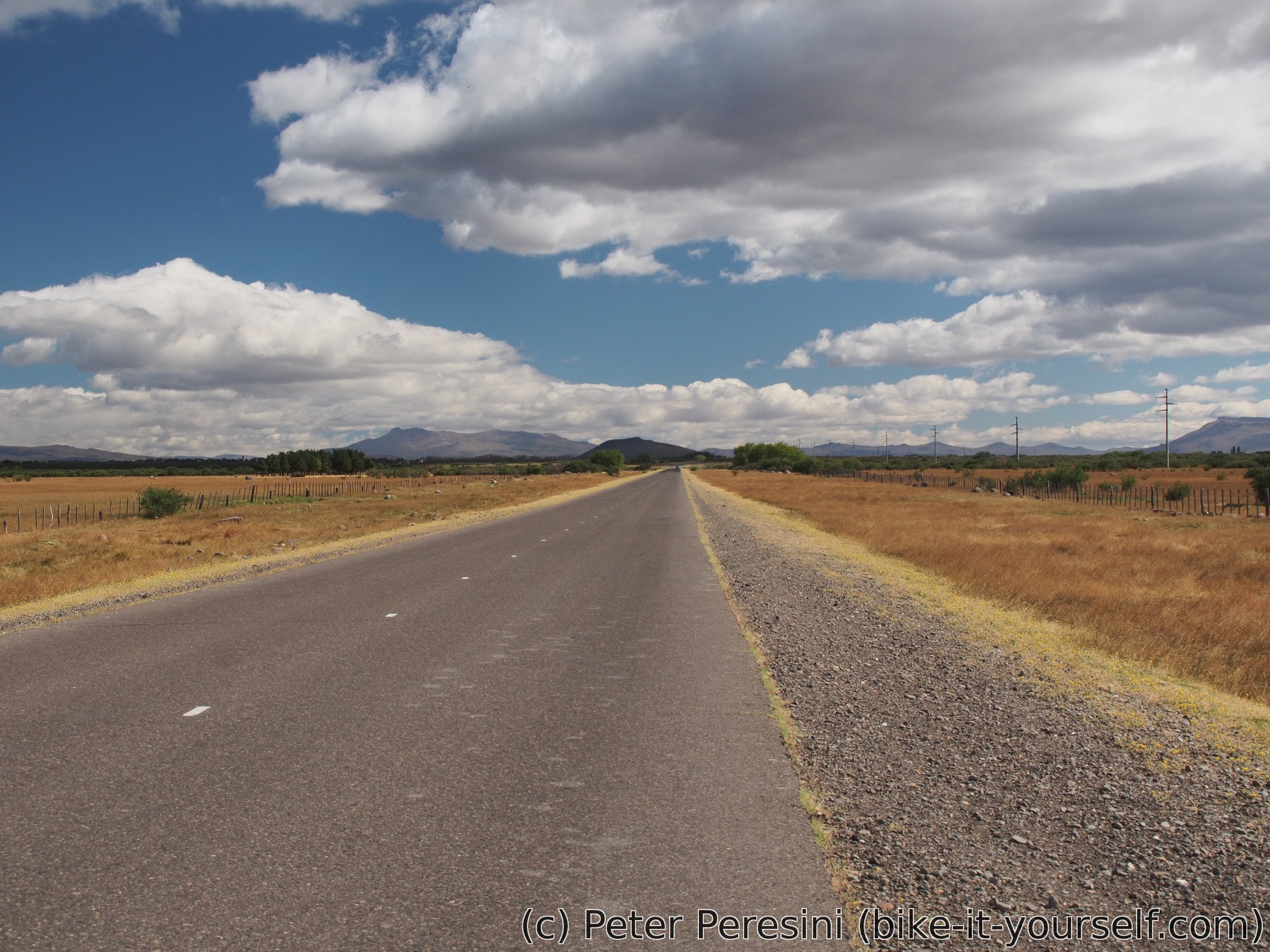
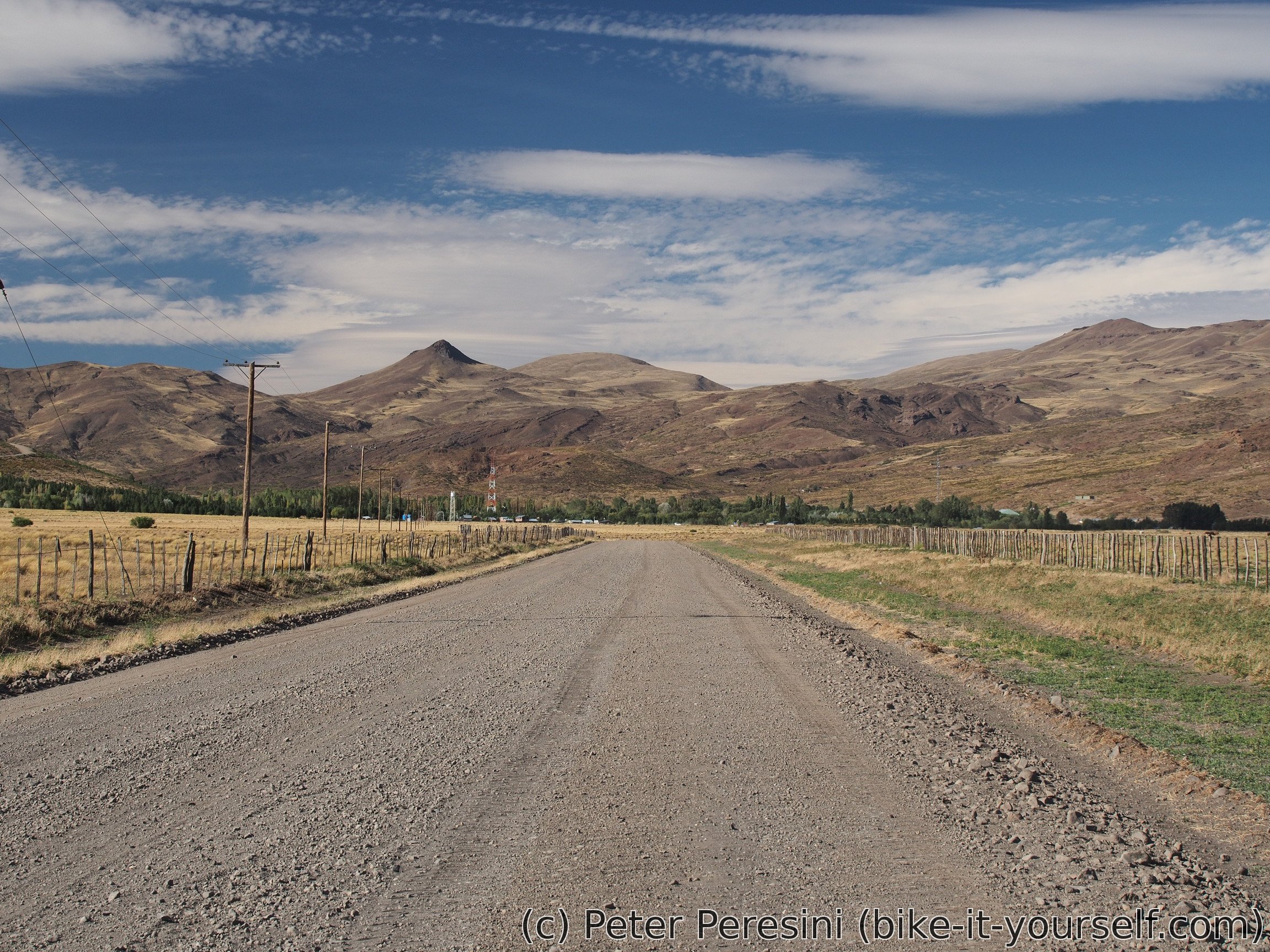
After the lunch I have fortunately only a small bit of road with headwind and the rest will be sidewind on a flat/very slight uphill road. The views are excellent as the insanely smooth pampa is finished by a jagged contours of high hills.
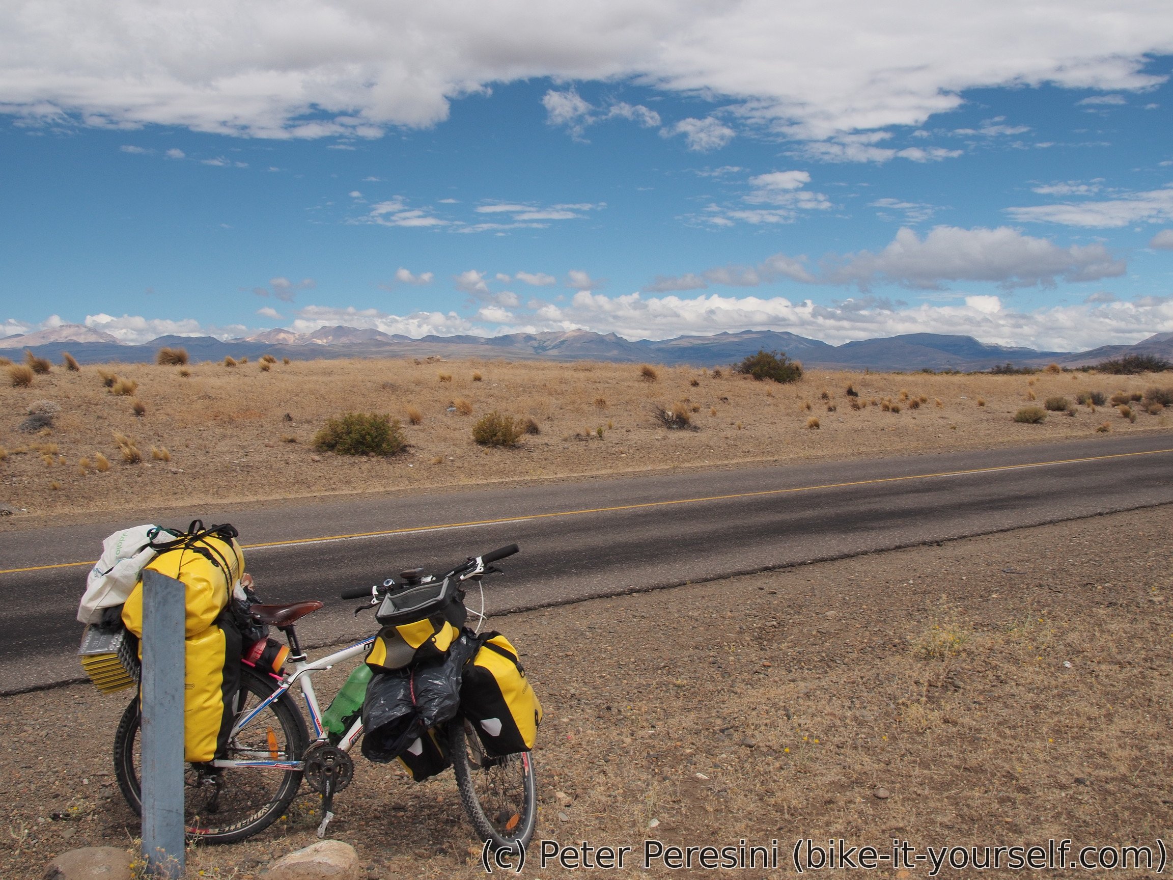
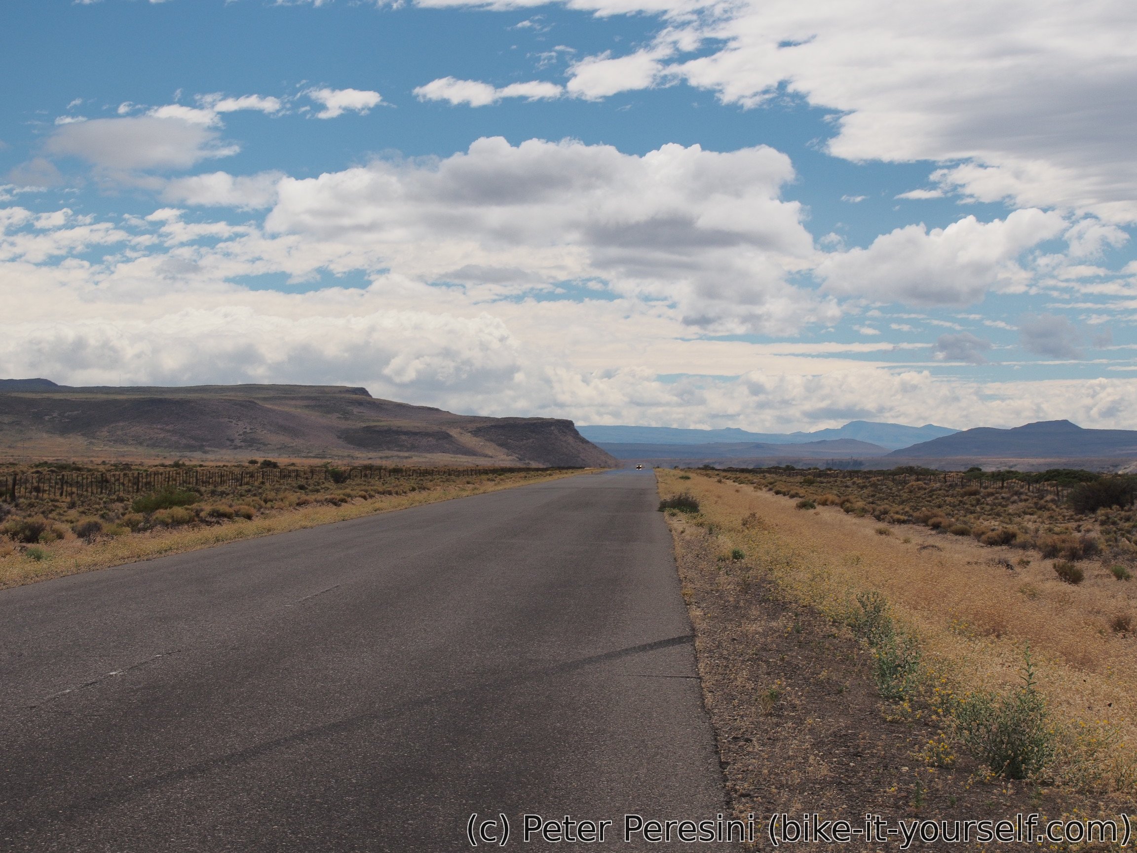
The afternoon however turns out to be a bit on the boring side. I am going on a very long straight road and while the views are great, they are mostly the same all the time. I am also having more headwind that I anticipated but as long as it isn't Patagonian strong, it is ok.
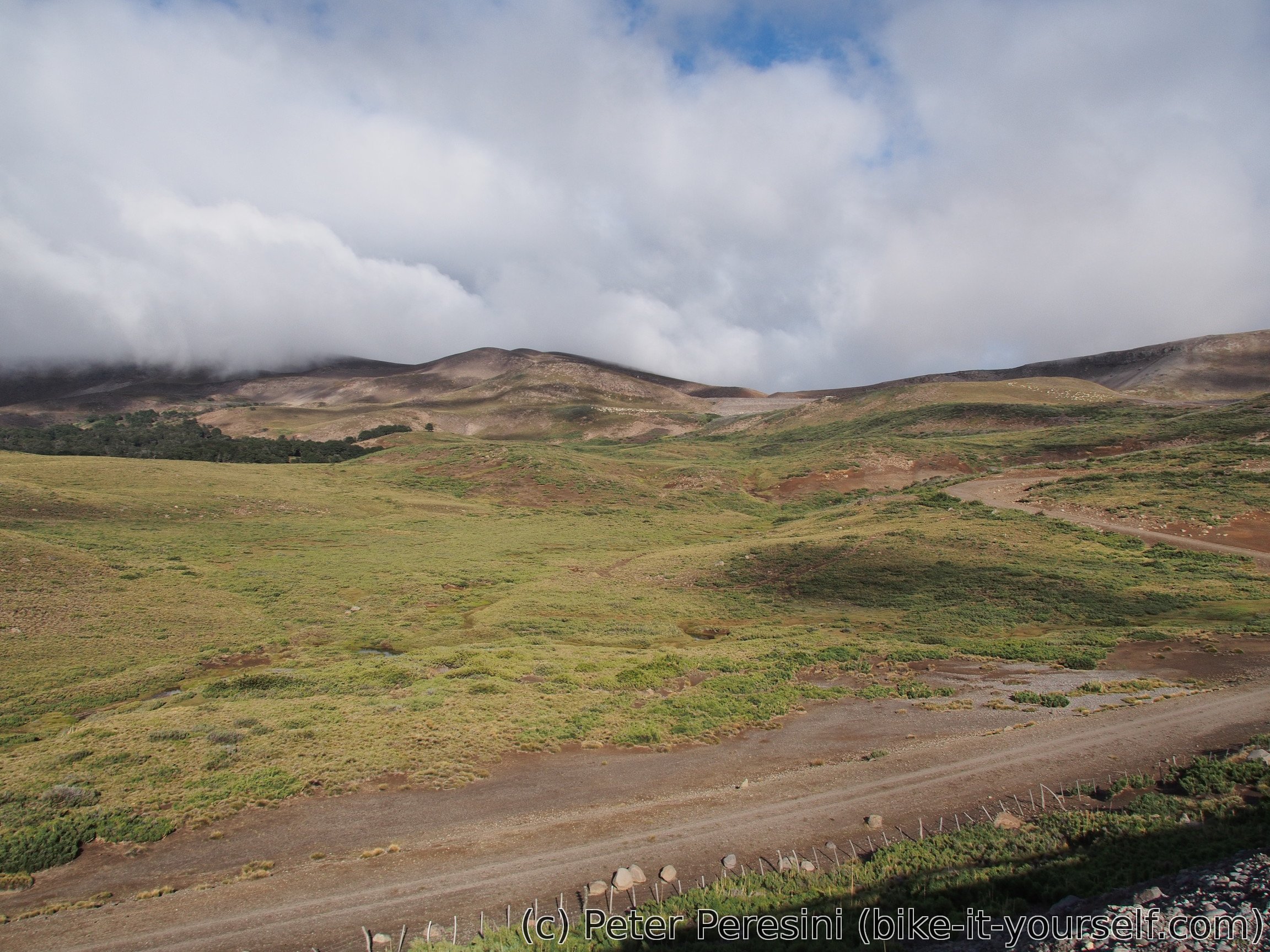
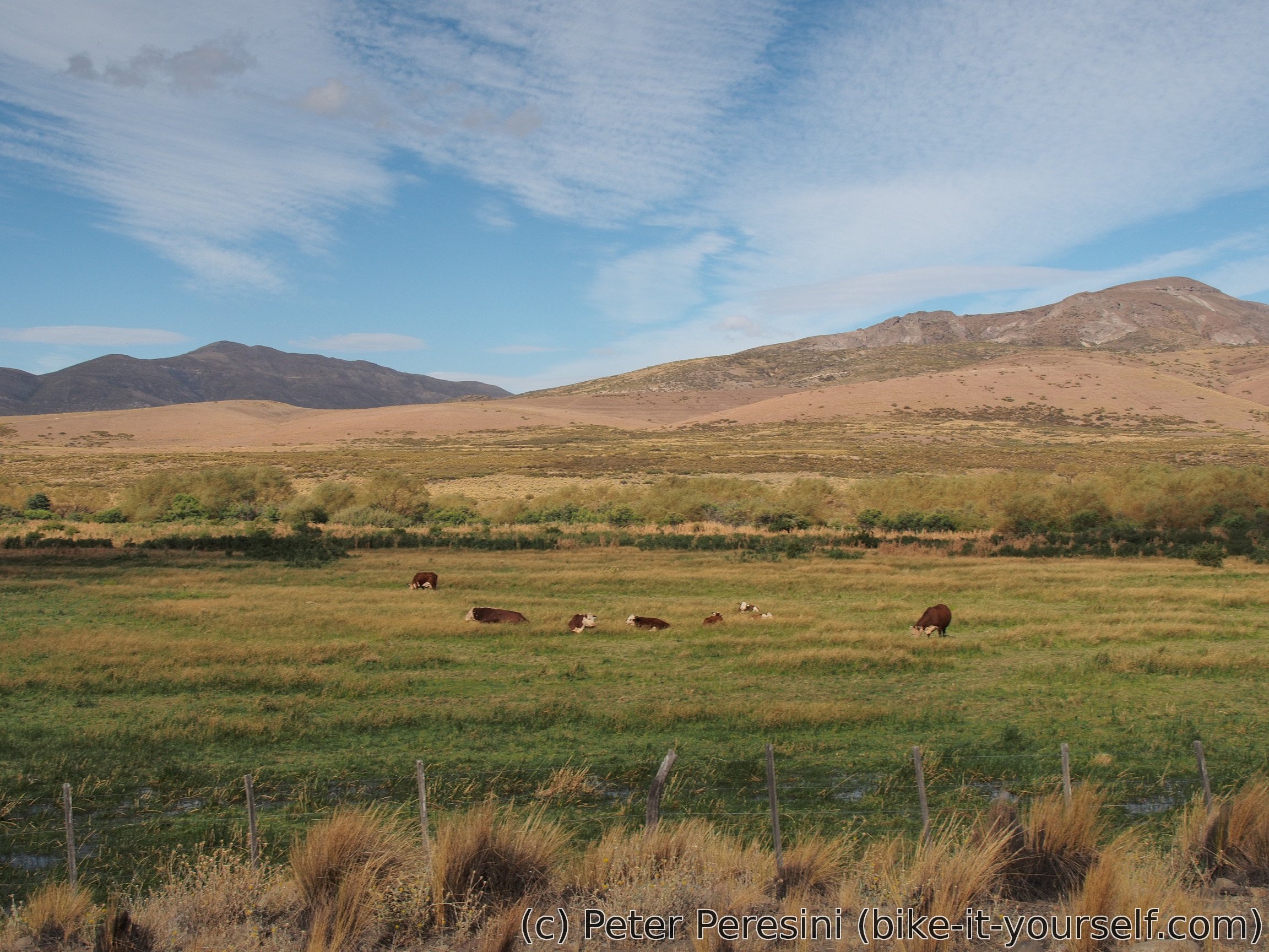
As the evening approaches, the views shift. I am now going in a amazingly green valley which is in a stark contrast to the dry pampa around. This is because the people turned the valley into an agriculture land with series of water canals which almost flood the whole area.
My target for today is Loncopué where I stop to buy some groceries and then find a municipal camping. I have the whole camping for myself until the night when a group of people turns up to cook something on fire. But then they leave so I am the only visitor than night.
March 2
The previous evening I was told that I should be taking care of my things because of theft. This turns out to be true -- a cat stole my salami, cheese and a bit of bread I left outside. Damn animal! I thus need to make a detour to the shop again.
Afterwards I have two options -- go with a westwards "longcut" towards Copahue to maybe see a volcano or go directly to the north. The decision is however very clear because the wind pick up pretty quickly today and I am in no mood to battle it.
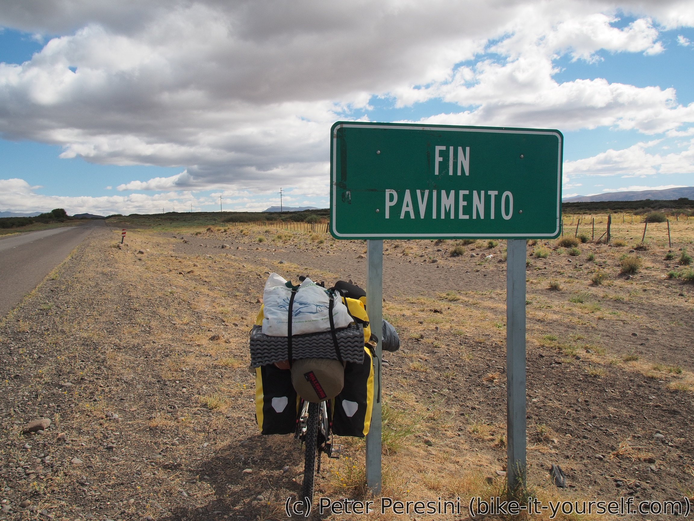
The paved road suddenly changes to a ripio and unfortunately it stays like that. At first I have a bit of headwind but after a few tens of kilometers I change the direction and it turns into side-tail wind which helps me.

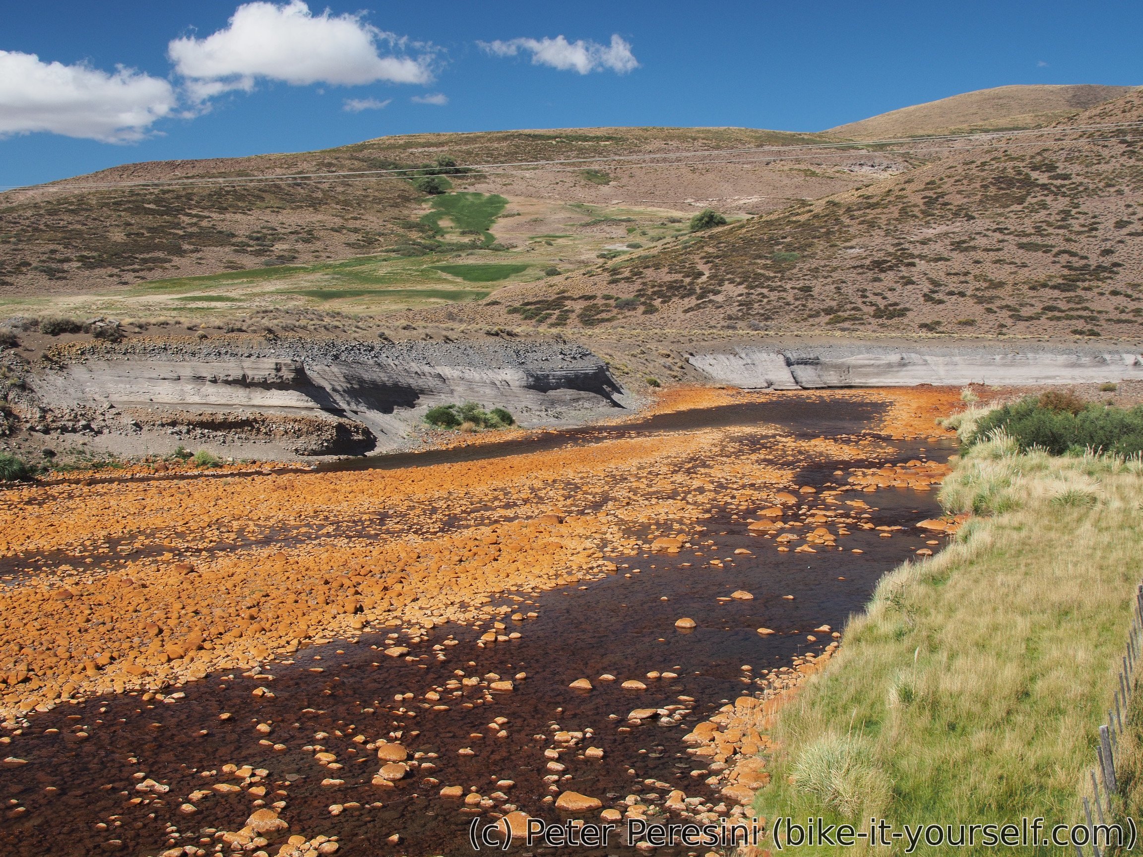
As I pass along a river, I almost cannot believe my eyes -- it is red! I guess there is a lot of mineral water flowing here. From here it is not that much to El Huecú where I want to find some camping to stay. Unfortunately, this turns out to be a huge failure -- the only camping is 5-6 kilometers from the village and it is in a wrong direction. (Ok, mostly good direction but vastly wrong elevation -- the road climbs up to a pass while the camping stays in the valley). Apart from camping failure, this village is also a gourmet failure -- the shop I went to didn't have much selection.


As I cannot really camp on the main square, I decide to go a few kilometers further in direction of El Cholar while slowly climbing up even if it is quite late. I end up camping above the village, as usual just besides a road on the first place which is flat and big enough for my tent. And because I was a bit in hurry to get out of the village, I completely forgot about water. Which means that I am dangerously low with it. Fortunately, there is a very small water source near me. Given its slow flow and lots of cow footprints around, I am happy to employ my water filter.
Route
Download simplified GPX of a route here
Stats by activity:
| Activity | Distance (km) |
Ascent (km) |
Pedal rotations (thousands) |
|---|---|---|---|
| bike | 226 | 2.1 | 51 |
| Date | Distance (km) |
Ascent (km) |
Avg. temp (moving, C) |
|---|---|---|---|
| Feb. 28, 2017 | 50.9 | 0.99 | 22.3 |
| March 1, 2017 | 109.2 | 0.48 | 24.6 |
| March 2, 2017 | 65.6 | 0.66 | 19.3 |
Elevation data
The next table is only for cycling activity.
| Grade(%) | Ascent (km) | Descent(km) |
|---|---|---|
| < 2 | 118.9 | |
| < 4 | 17.0 | 21.9 |
| < 6 | 6.1 | 10.1 |
| < 8 | 4.3 | 3.0 |
| < 10 | 2.4 | 0.4 |
| ≥ 10 | 2.3 | 1.1 |
<a href=https://vsdoxycyclinev.com/>meds similar to doxycycline