
Huancavelica to Acobambilla (PGD part 1)
 Share:


This short two-day warmup is the first part of the famous Peru Great Divide route. Contrasting to the previous three days this part features golden-grass covered hills instead of the rusty mountains full of mines.
August 22
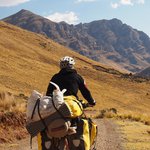
In the morning I say (a temporary) goodbye to the four cyclists and get going. Only to realize that I forgot to buy bread and jamón so I make a detour through the main market. This sets me back by one hour. Afterwards I finally leave Huancavelica and immediatelly start climbing 1000m into a 4700m high pass.
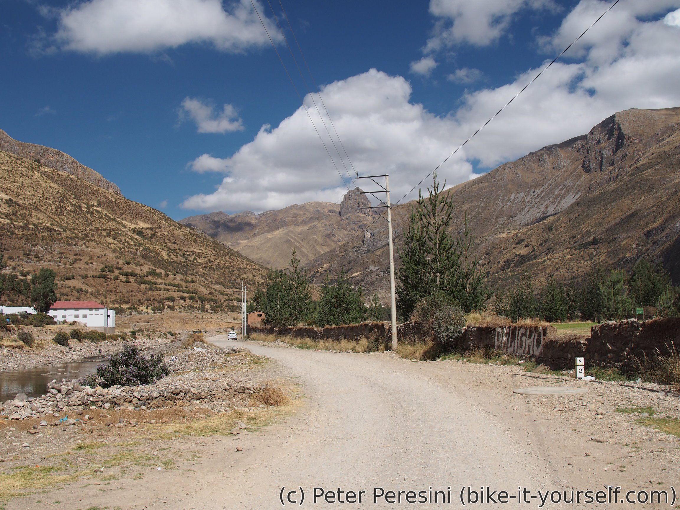
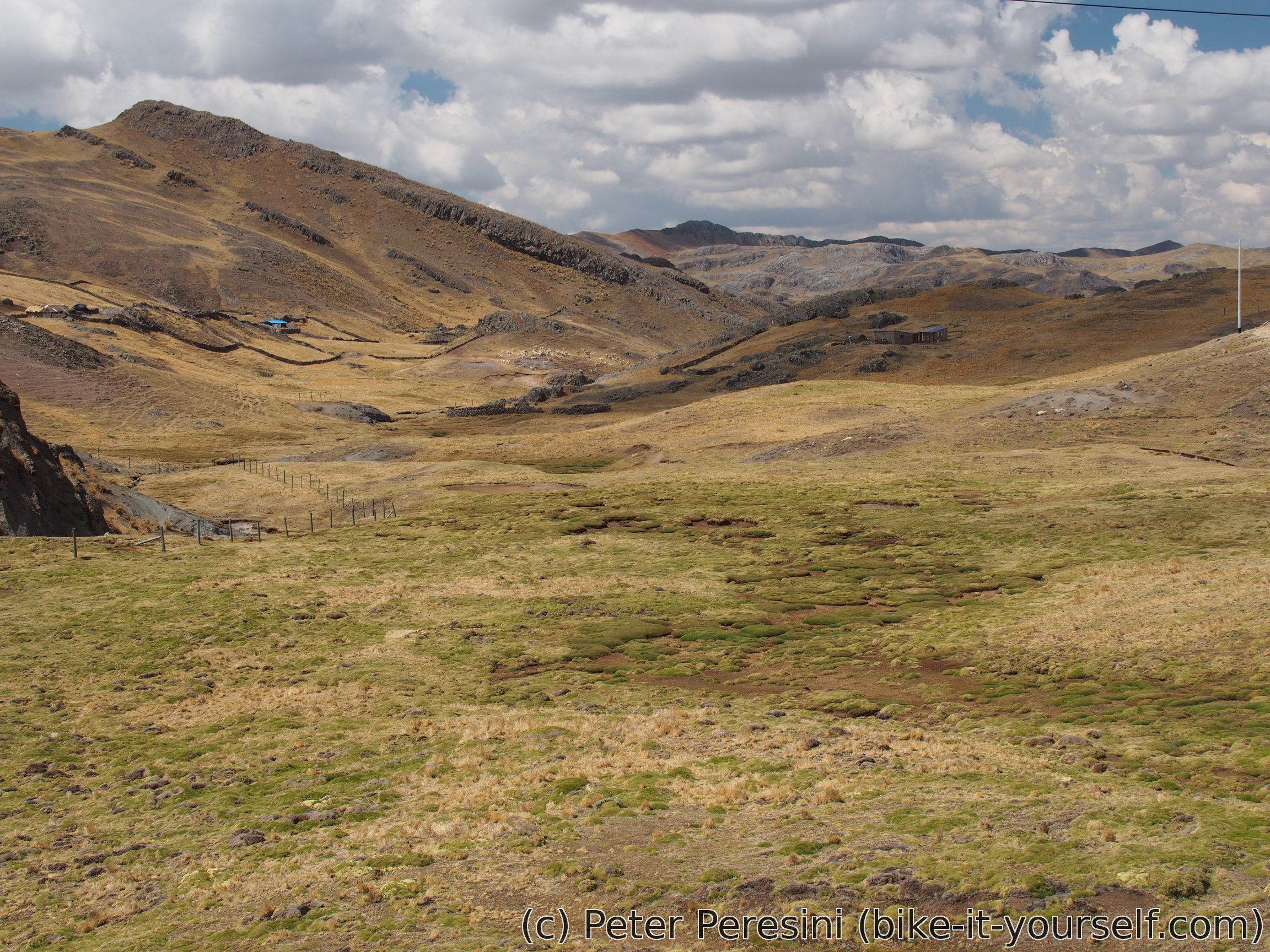
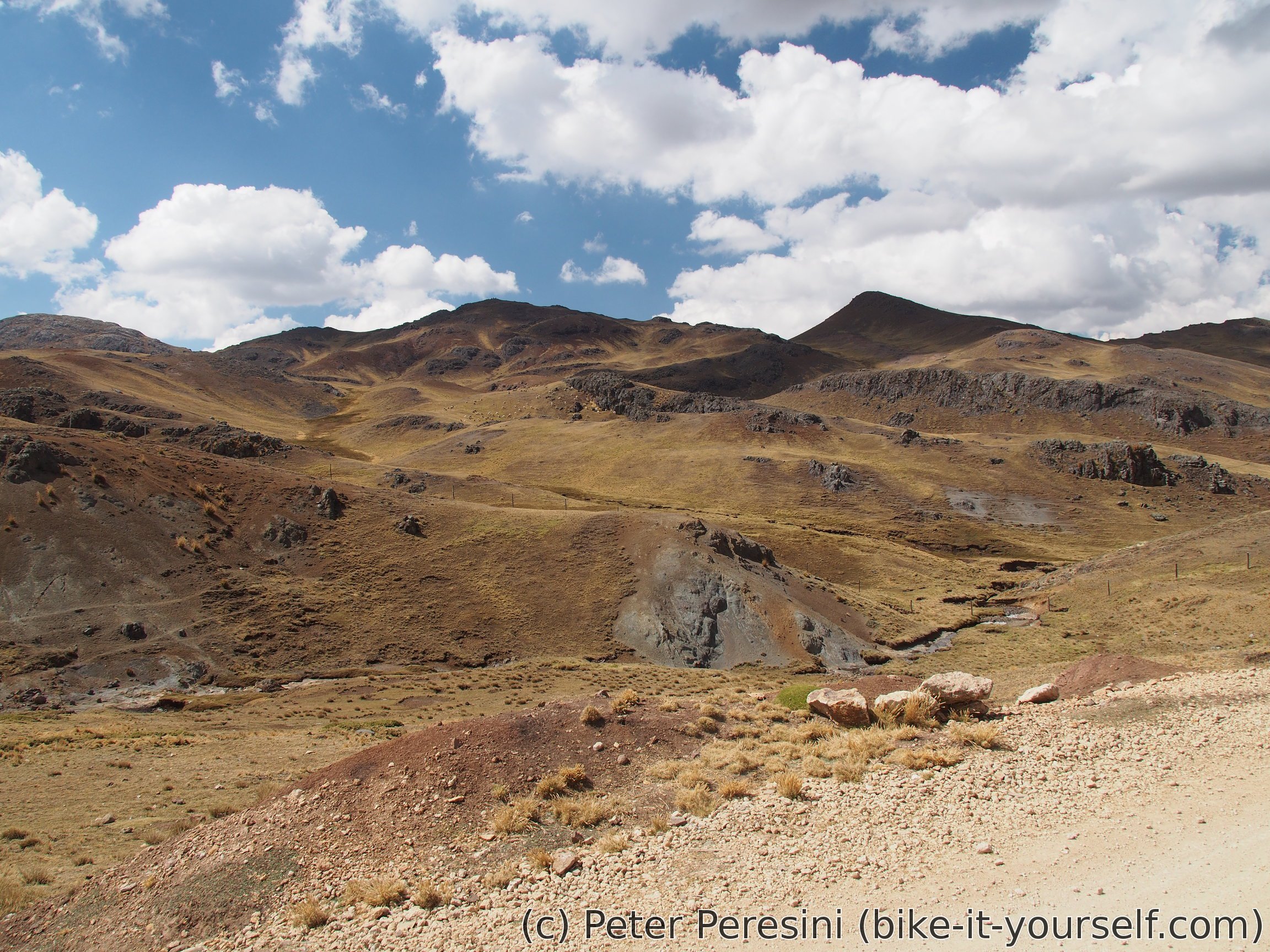
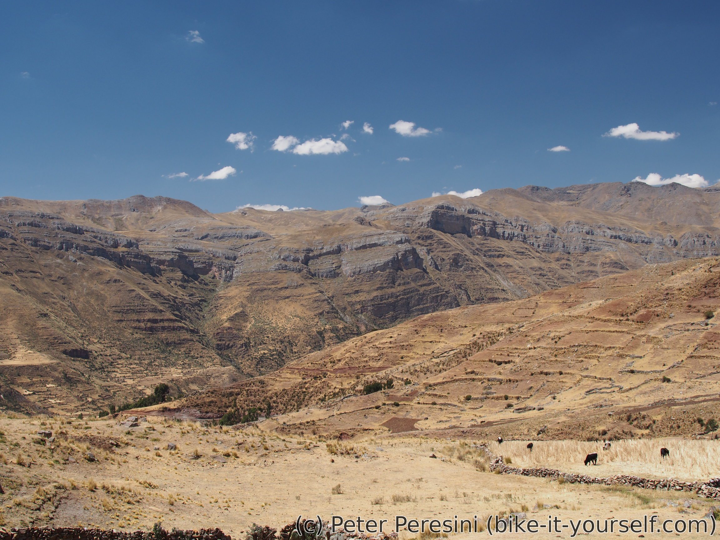
Unlike the previous day's I do not see any volcanic-like mountains. Instead, there are just hills covered in neverending golden grass. I make a lunch stop at 4300m and wonder where are my four cycling friends. With their light setup they should have caught up by now. Maybe they managed to overtake me while I was shopping? But I don't see any tracks. And a car going in the opposite direction did not see them either. Basically, it is a big mystery as to where they disappeared.
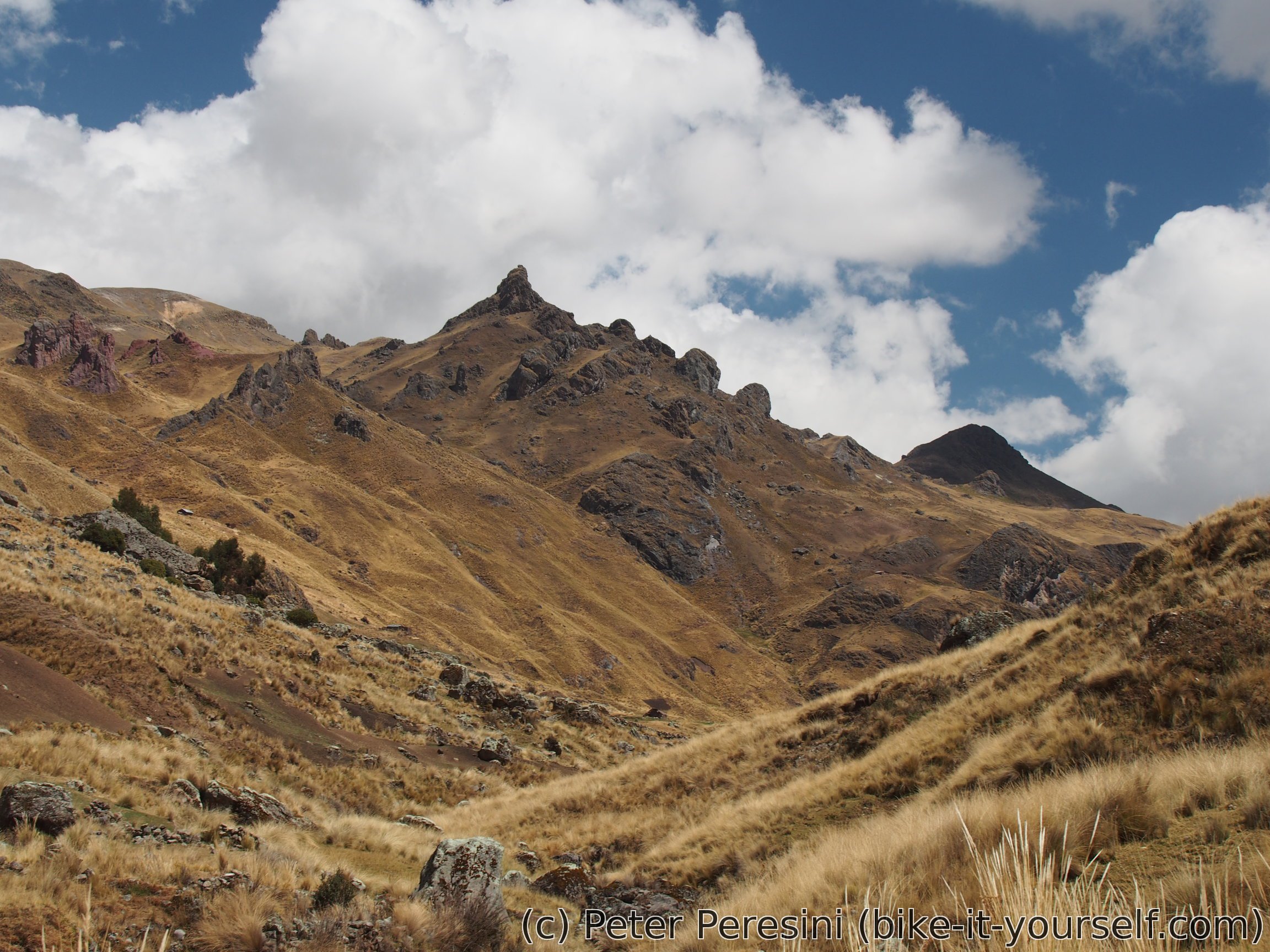

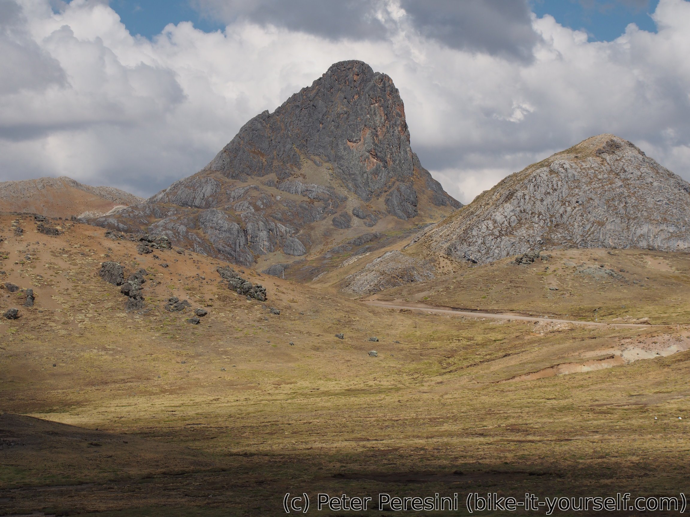
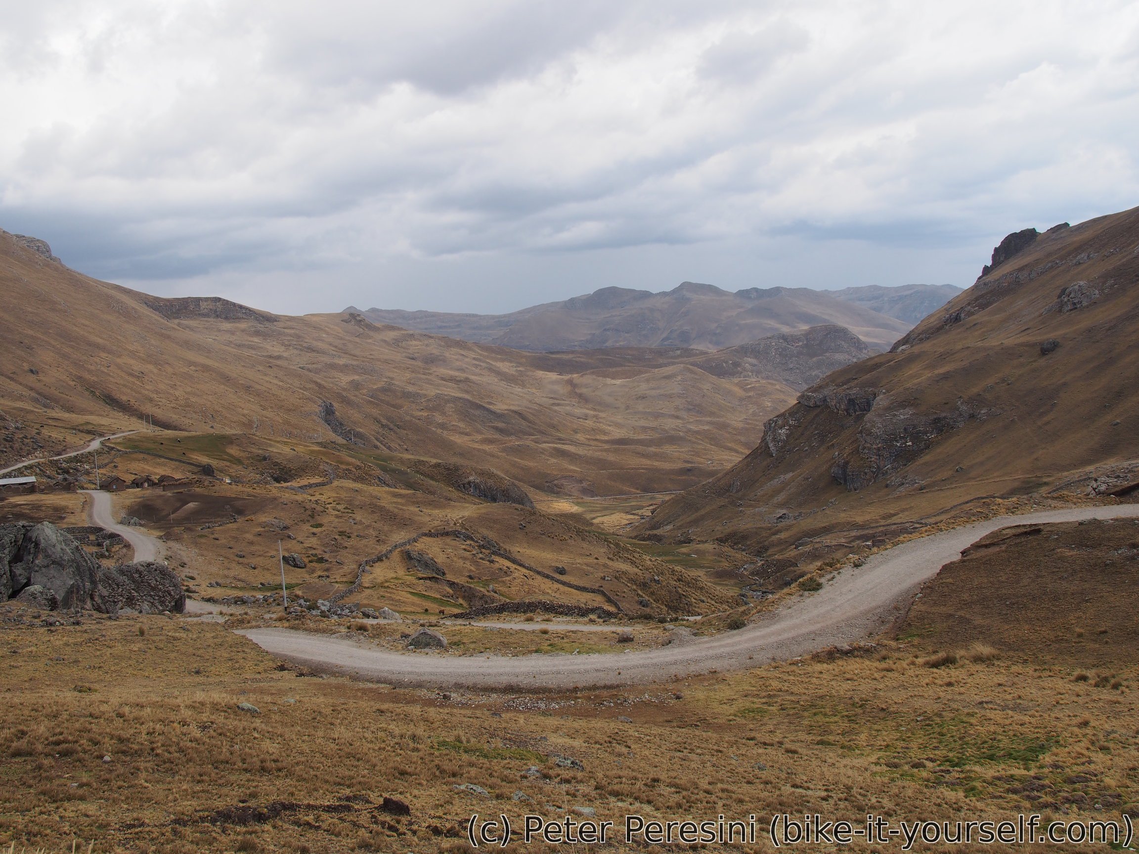
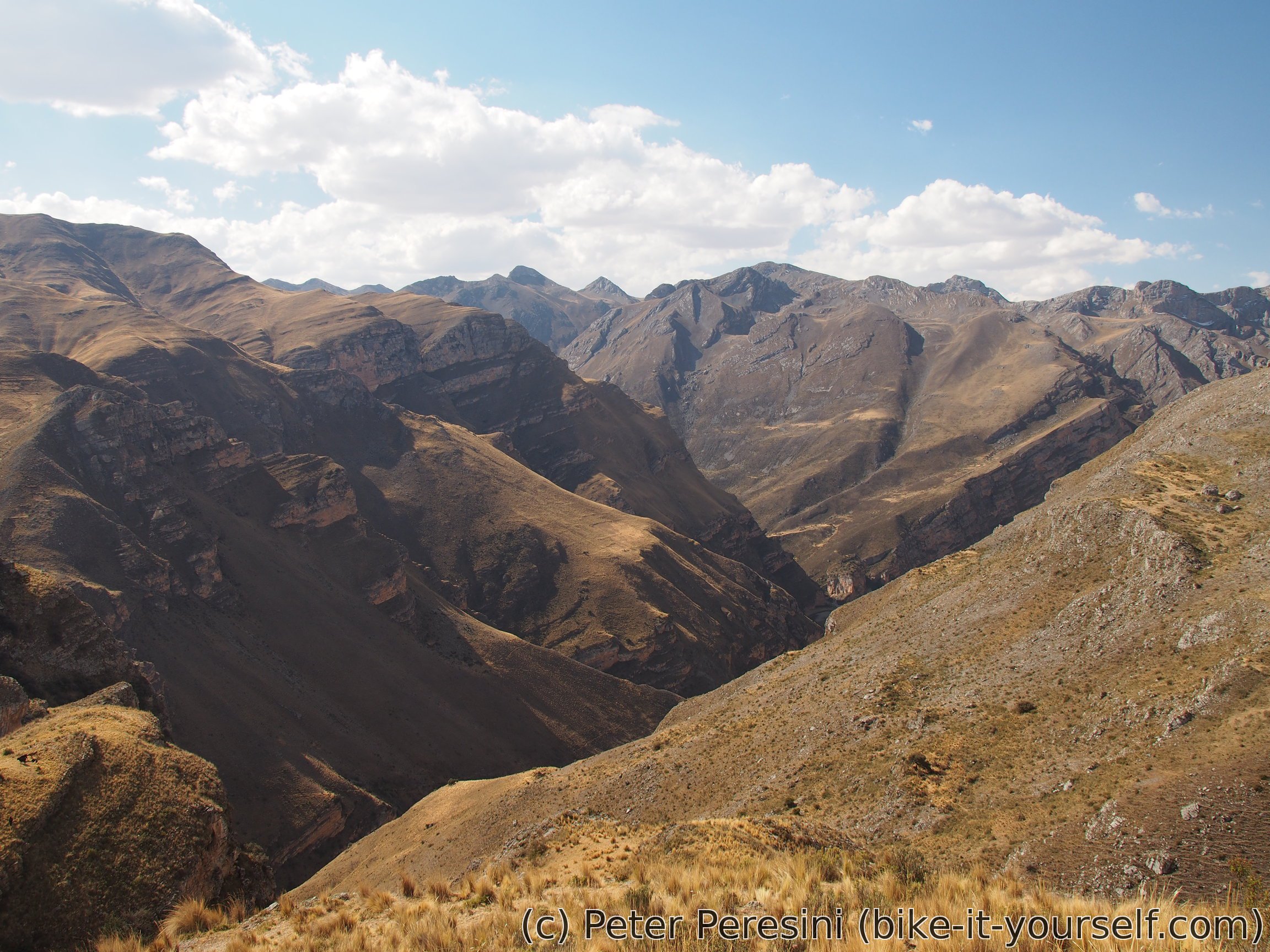
After the lunch I resume climb of the last 400m. I get into a bit more flattish landscape with amazing teeth-like mountains. And to make them competition, there are also more round huge rocky-top mountains.
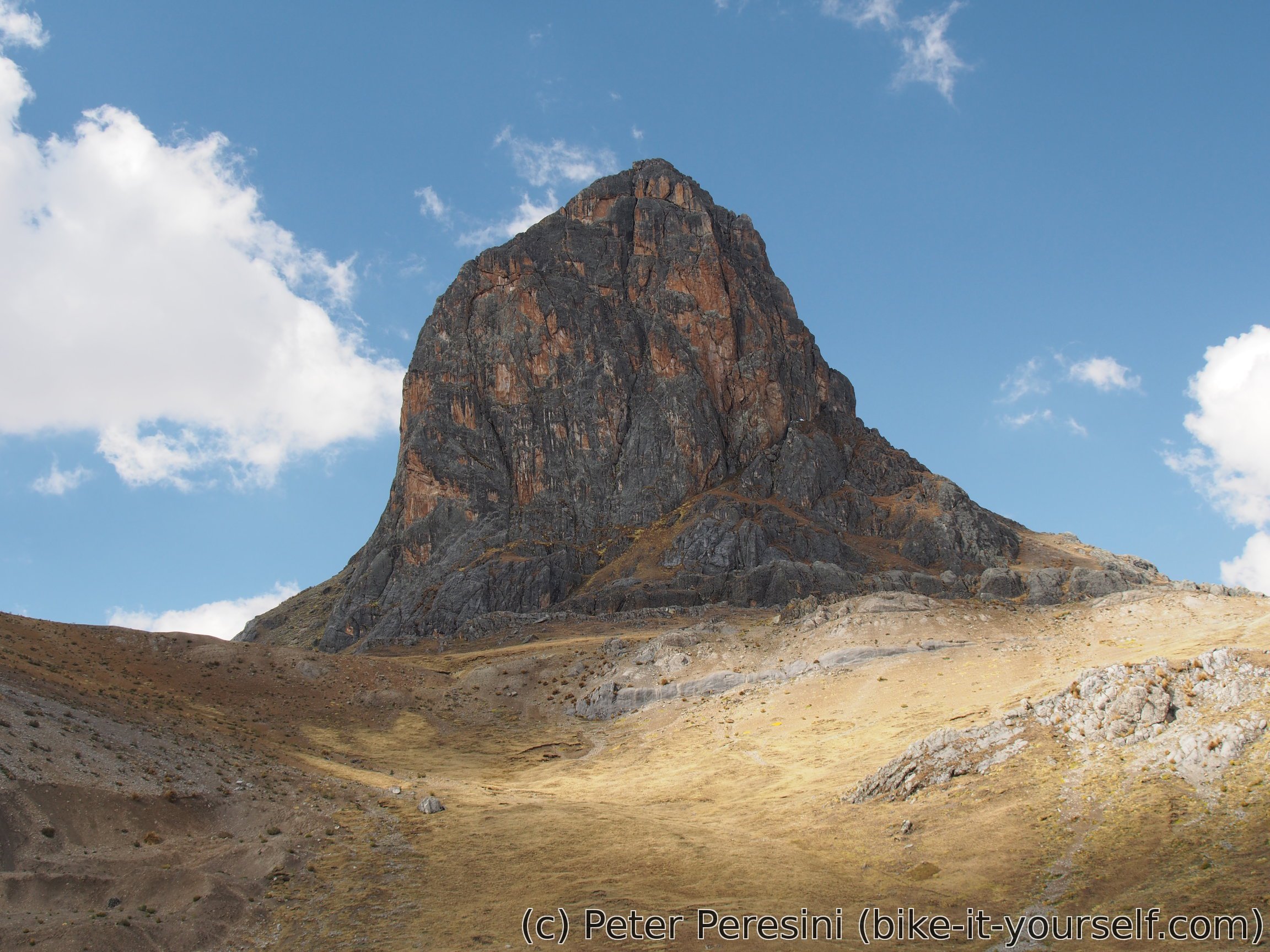
By the time I get to the pass, which is guarded from one side by an incredibly huge rock, the weather starts getting worse. So far the sky was behind clouds but without much wind which was ideal for the ascent. But the clouds seem to be getting worse so I don't really spend too much time and prepare for a chilly descent to Jerusalen.
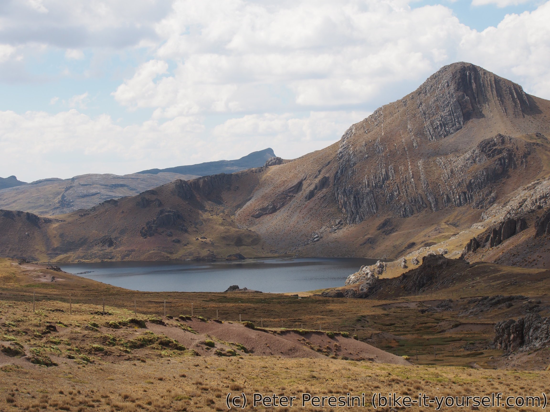
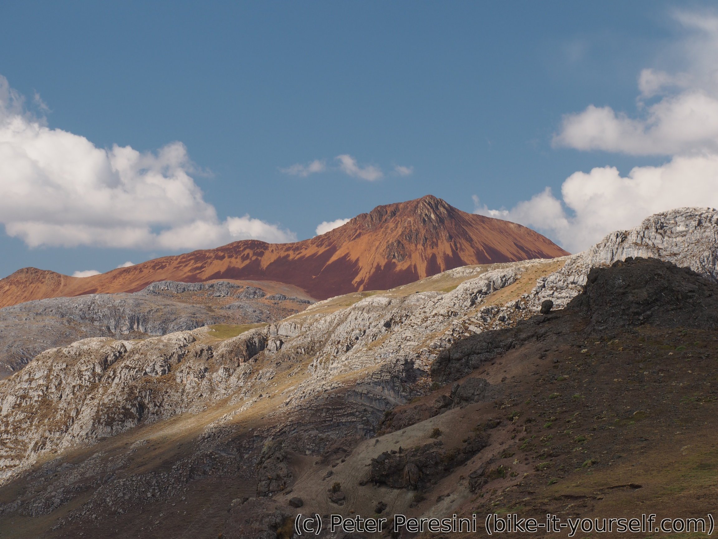
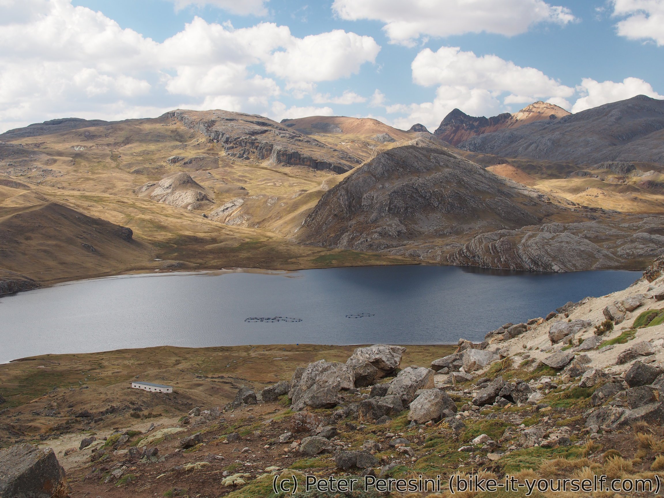
The other side of the pass is quite epic. There are two huge lagoons to look at. When I am bored of lagoons I can just look at the mountains around which are also quite good. And then there is this one mountain which just catches my eyes -- it is bloody red as if the devil itself decided to make it his holiday house. I am pretty sure the mountain must have been quite important to any ancient people living here and I wouldn't be surprised if a dragon lived there as well. (Ok, I would be a bit surprised. But with sight like this you are likely to believe anything).
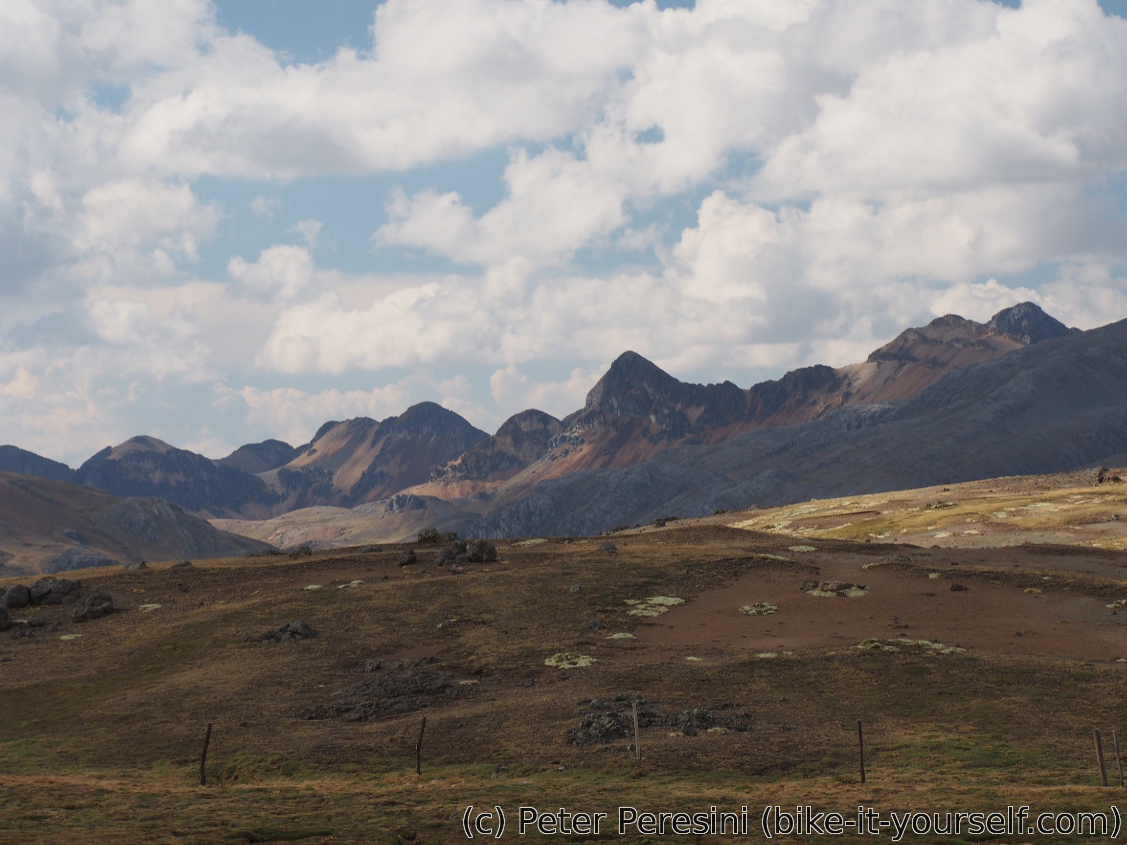
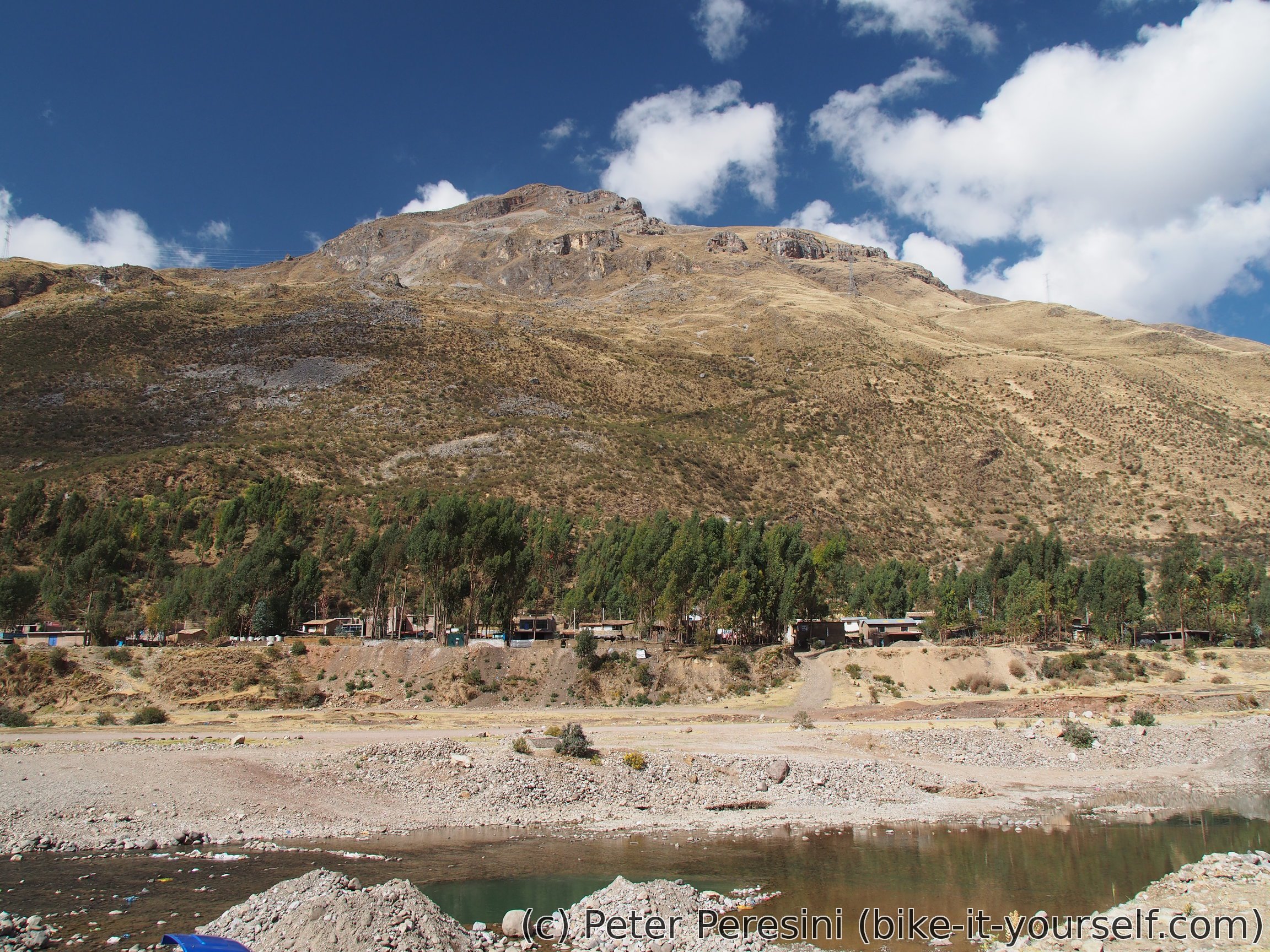
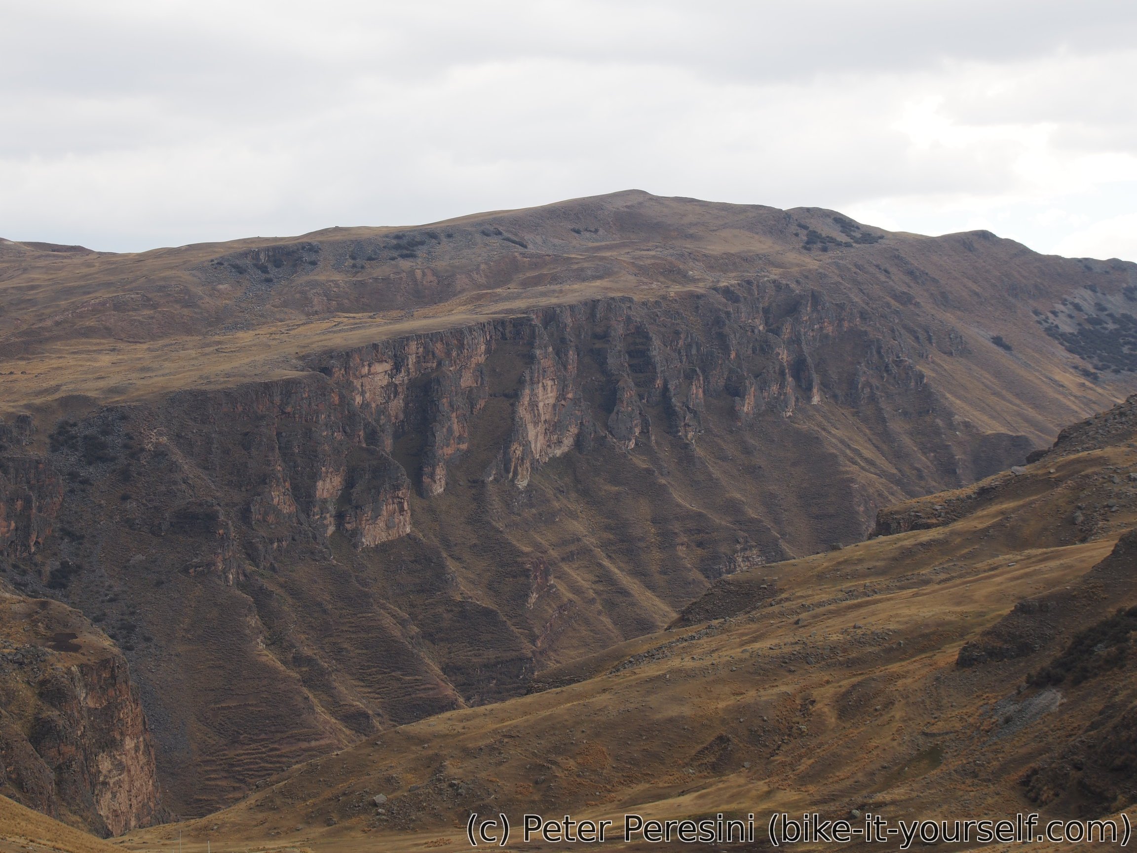
After the road passes the lagoons it continues downhill into a valley. Which turns into a canyon with one side pretty interesting. A bit further and I am just above San Miguel when the weather catches up with me. In no time it starts heavily pouring. It is good thing that I find a house with a bit of an overhanging roof.

My first rain in Peru is quite some experience. The sky is full of lightnings and there are even hail. Needless to say, as I am around 4000m it becomes really cold. I need to get out all my clothing to warm up during a long wait until the rain passes. Unfortunately, it more or less rains (or at least drizzles) until the evening so I decide to get into the centre of the village. On my way I first try Centro de Salud. Unfortunately, this is closed so I wait here until I figure out that the man I am randomly talking to is actually responsible for it. While I originally planned to say here for the nigh (dry place is a dry place), the man convinces me that it is a bad idea (e.g., too cold) and instead walks with me to the main square where a municipality building is. I am getting a room upstairs with a nice addition of mat.
To make the evening even more fun there is a power outage. First a short one and then the electricity dies completely. So I end up just drying my clothes (they got a bit wet), drying my panniers (I probably badly closed one of my front panniers which, being waterproof, turned into a big water pool). And I am doping with pills against cough -- I was already slightly coughing for a past few days and standing full hour in a chilly wet weather did not improve my lungs.
August 23
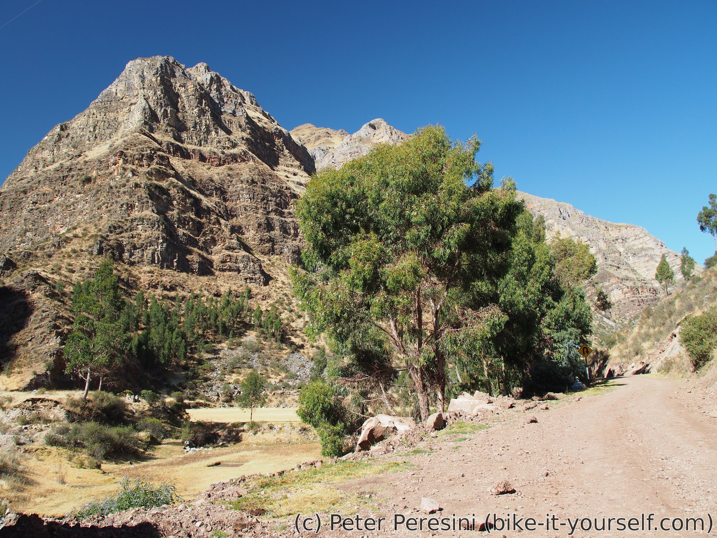
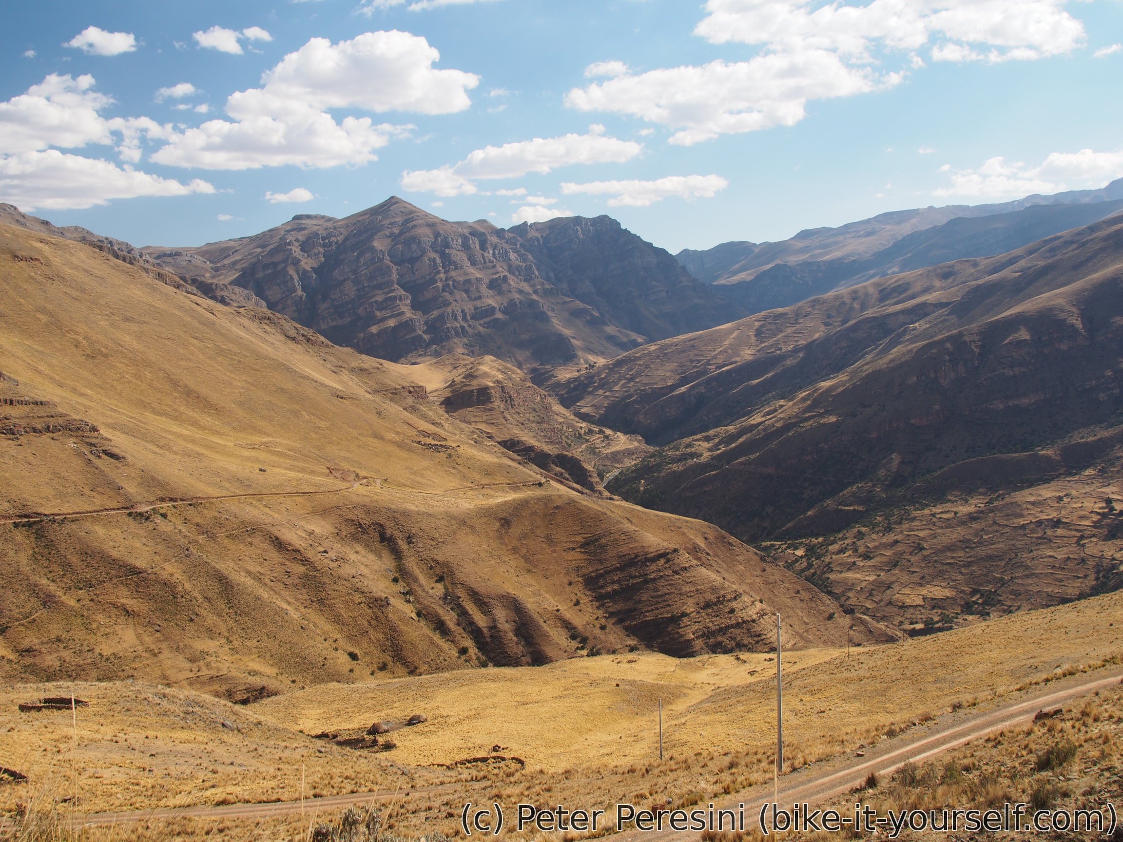
Compared to yesterday evening the morning is clear with blue sky. Yesterday's electricity outage is still ongoing so I failed to charge anything. Garhering all my crap on the bike I resume the final part of yesterday's downhill. This goes through a narrow canyon with excellent views.
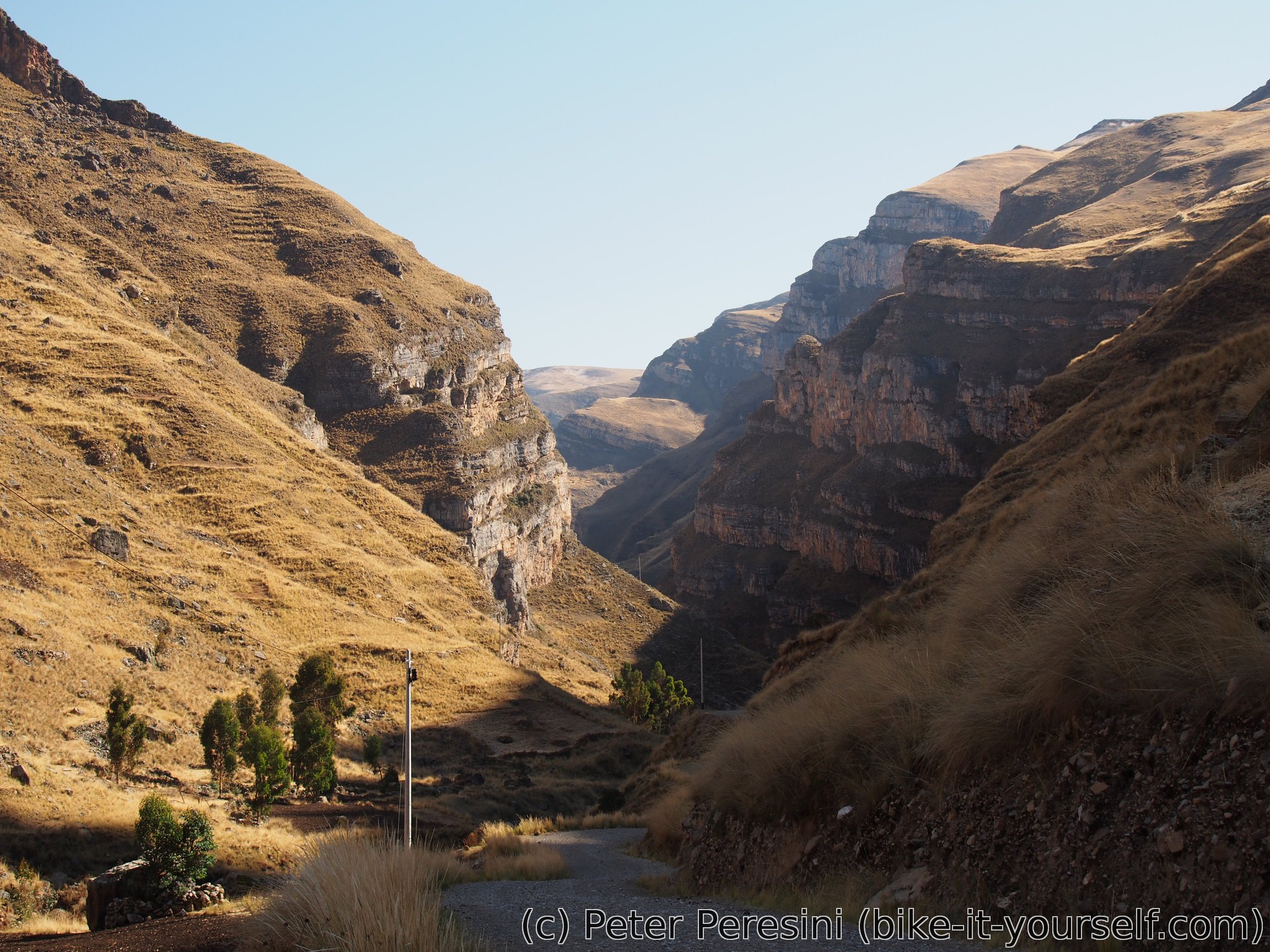

After the downhill is done, I face a bit of a climb before Jerusalen. The road slowly climbs out of the canyon into a more open space. In Jerusalen I buy some snack and figure out that the electricity outage actually affects this place as well. Which is quite funny because I have a mobile signal -- either the GSM tower runs its own generators or takes electricity from different part of the grid.
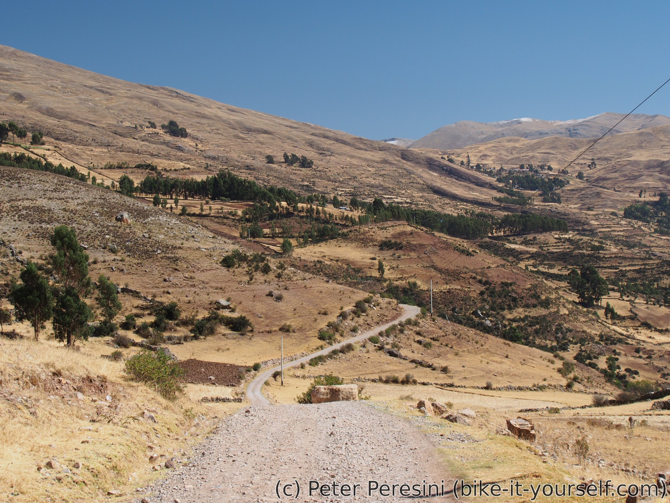
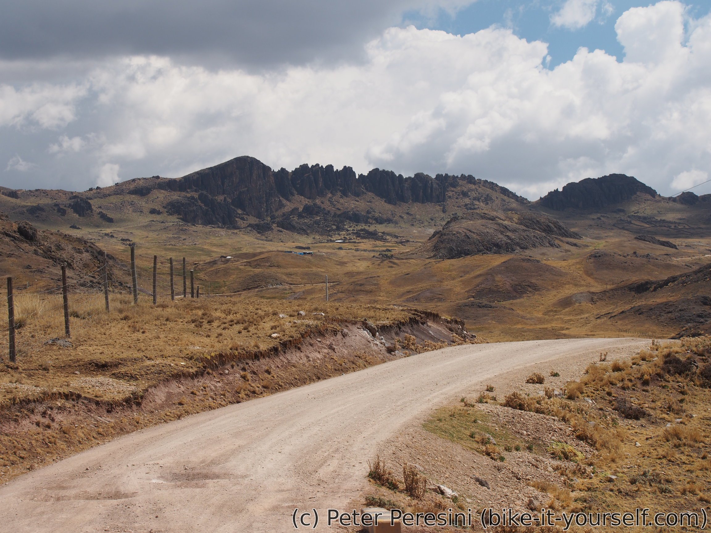
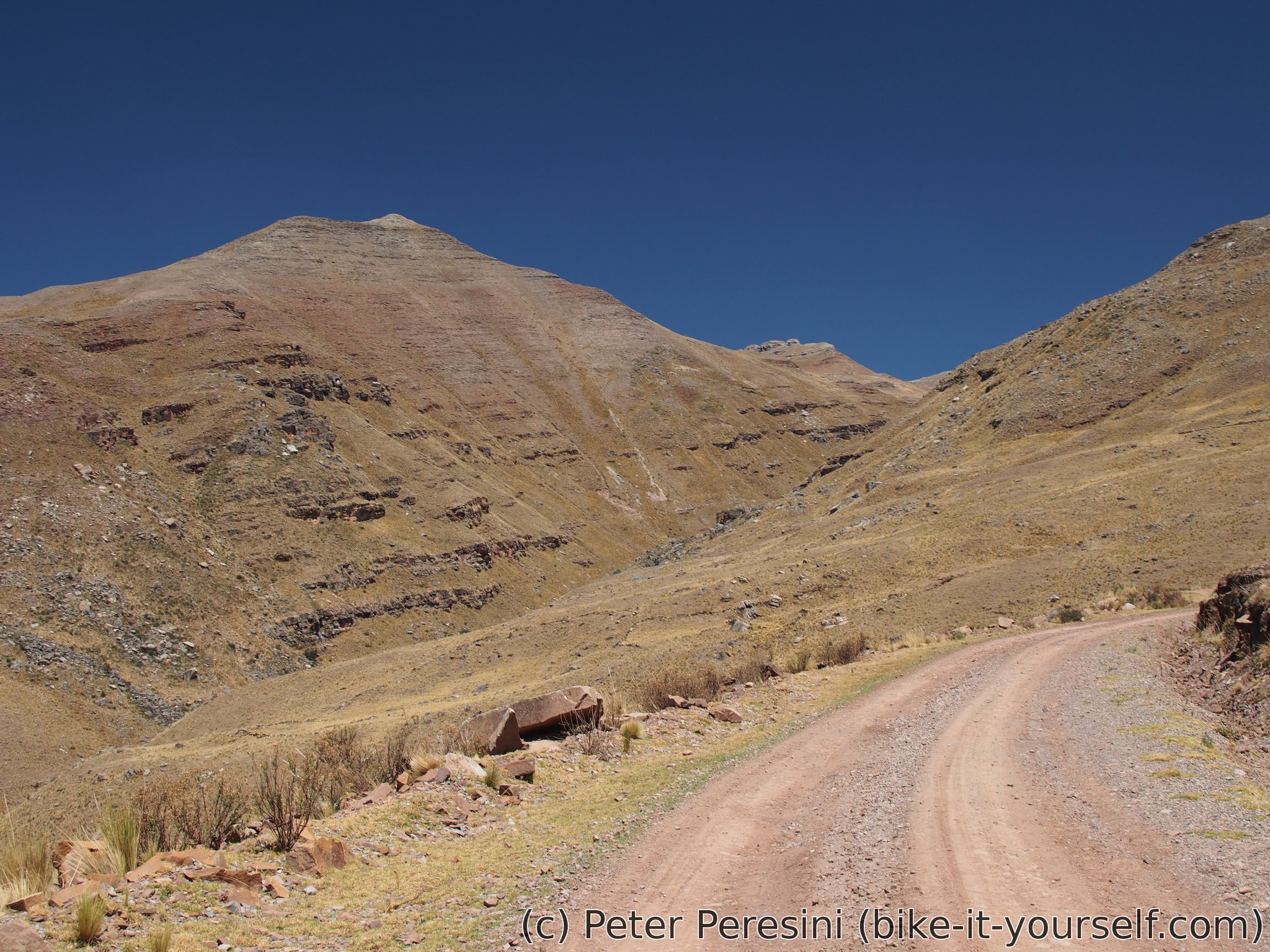
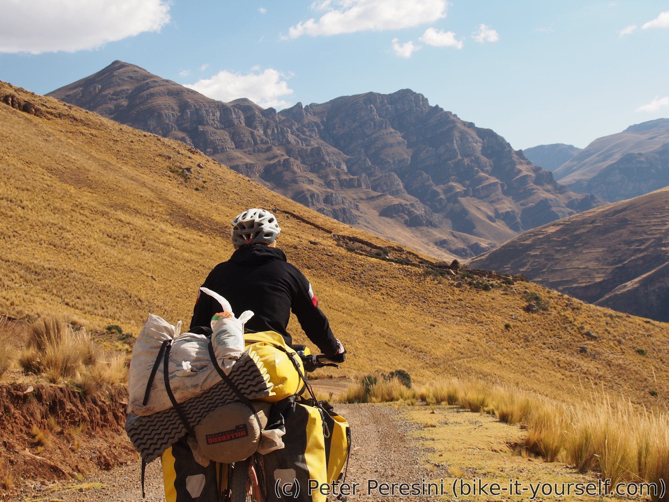
From Jerusalen I have to climb another pass. This is less than 750m in ascent but I still find it quite difficult -- my stomach did not improve at all despite antiparasitics I bought in Huancavelica an I find myself ditching a bike in a hurry few times.
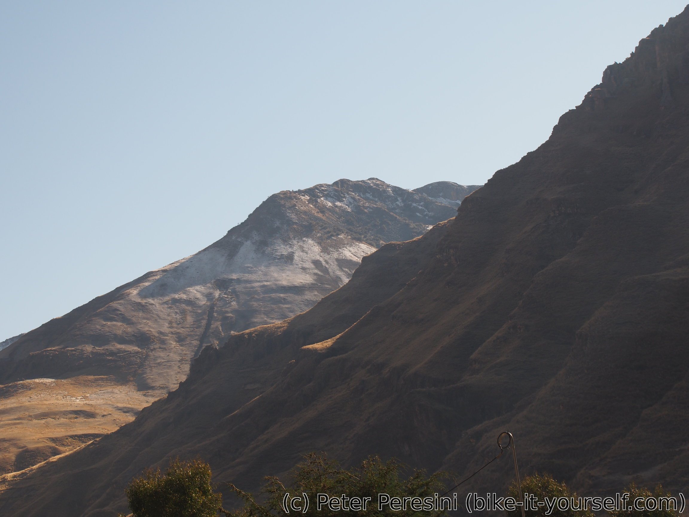
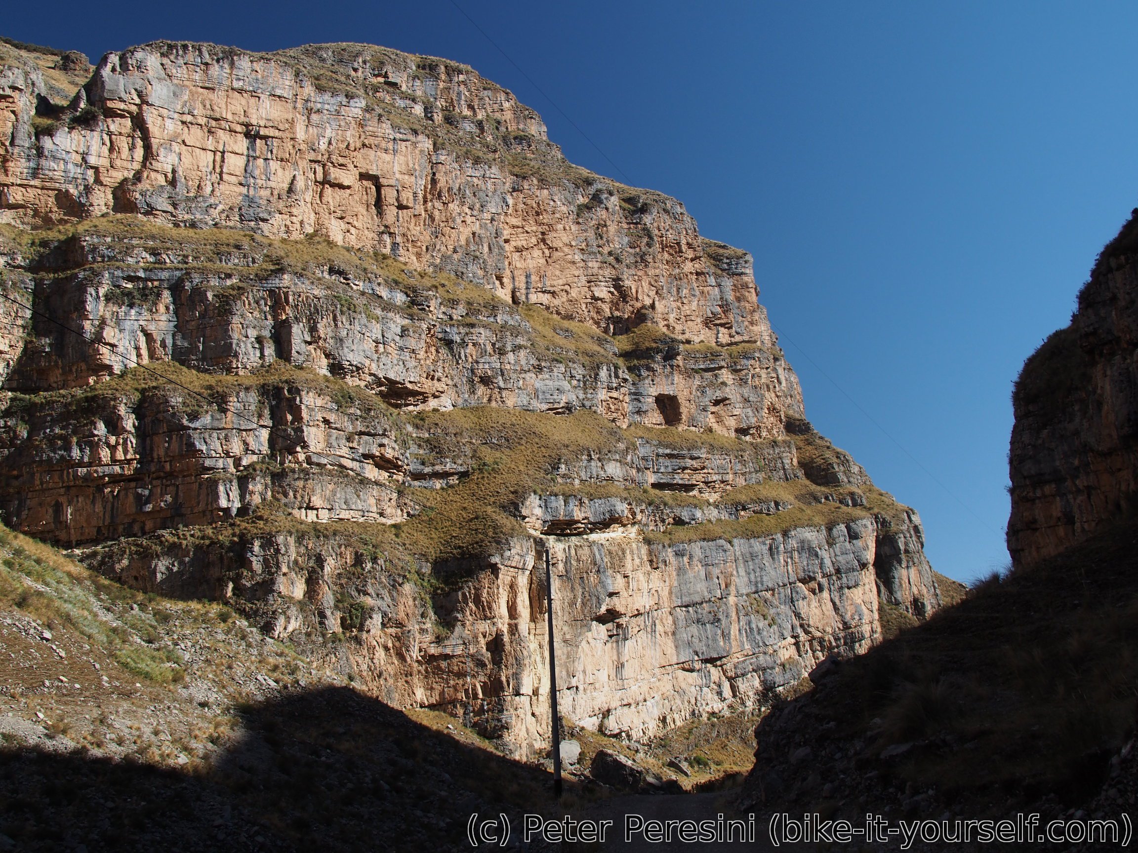
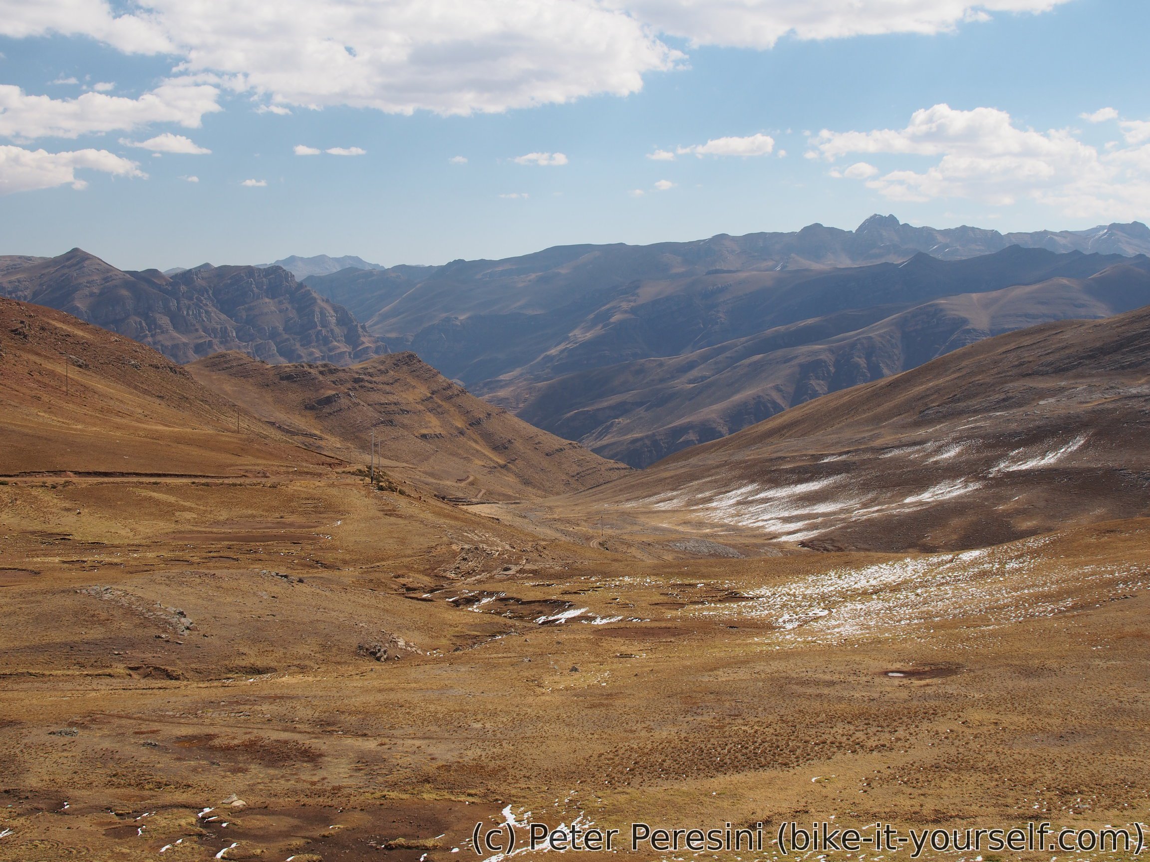
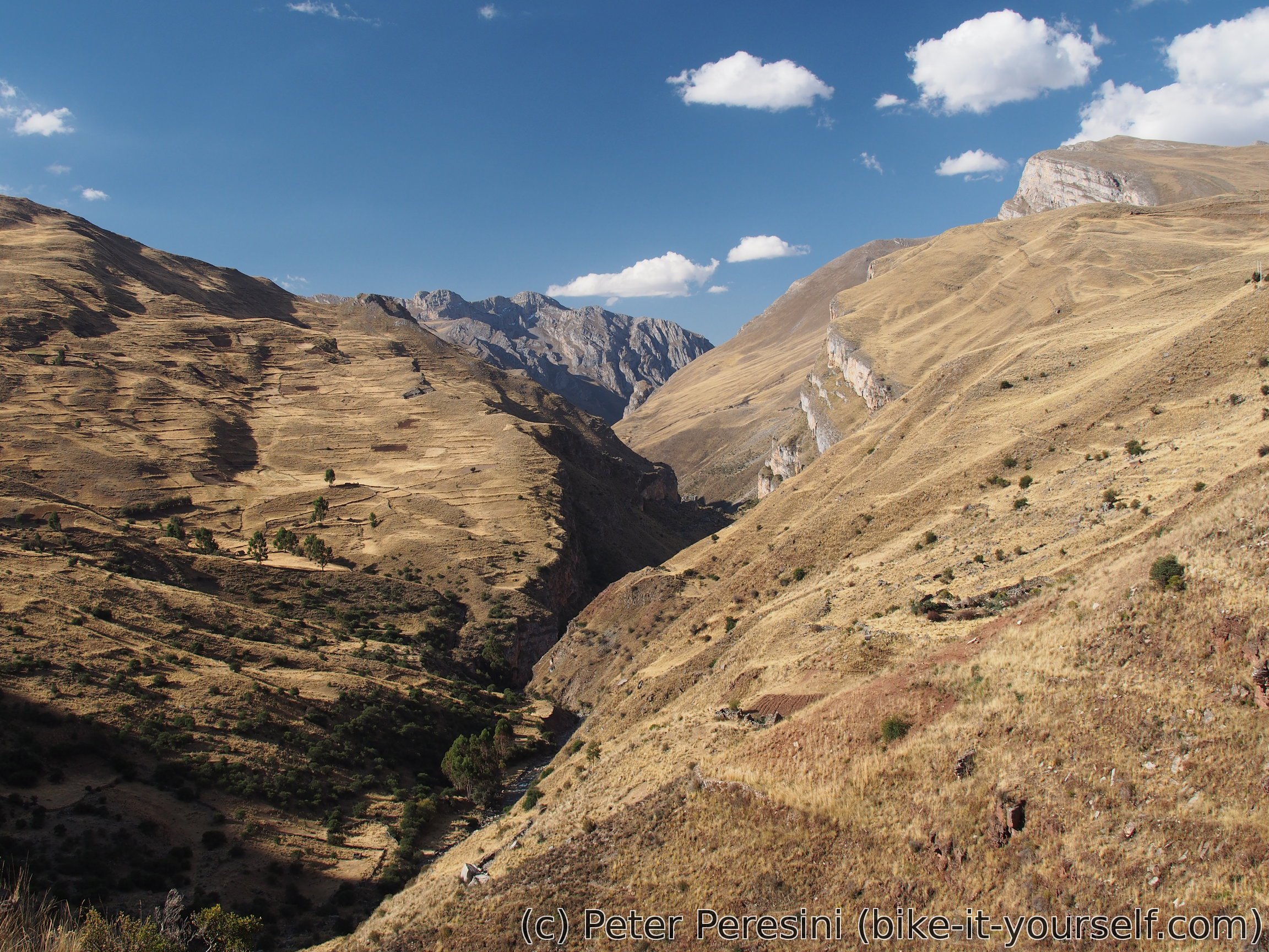
When I finally reach the top another grand scenery opens. It becomes clear that the road will go aound another deep canyon. And the mountains around are interesting as well. I cannot decide between fast descent and the one where I stop every meter or so to take a photo. What particularly interests me is a deep cliff mountain in the distance. As I slowly descent I am getting nearer and nearer.
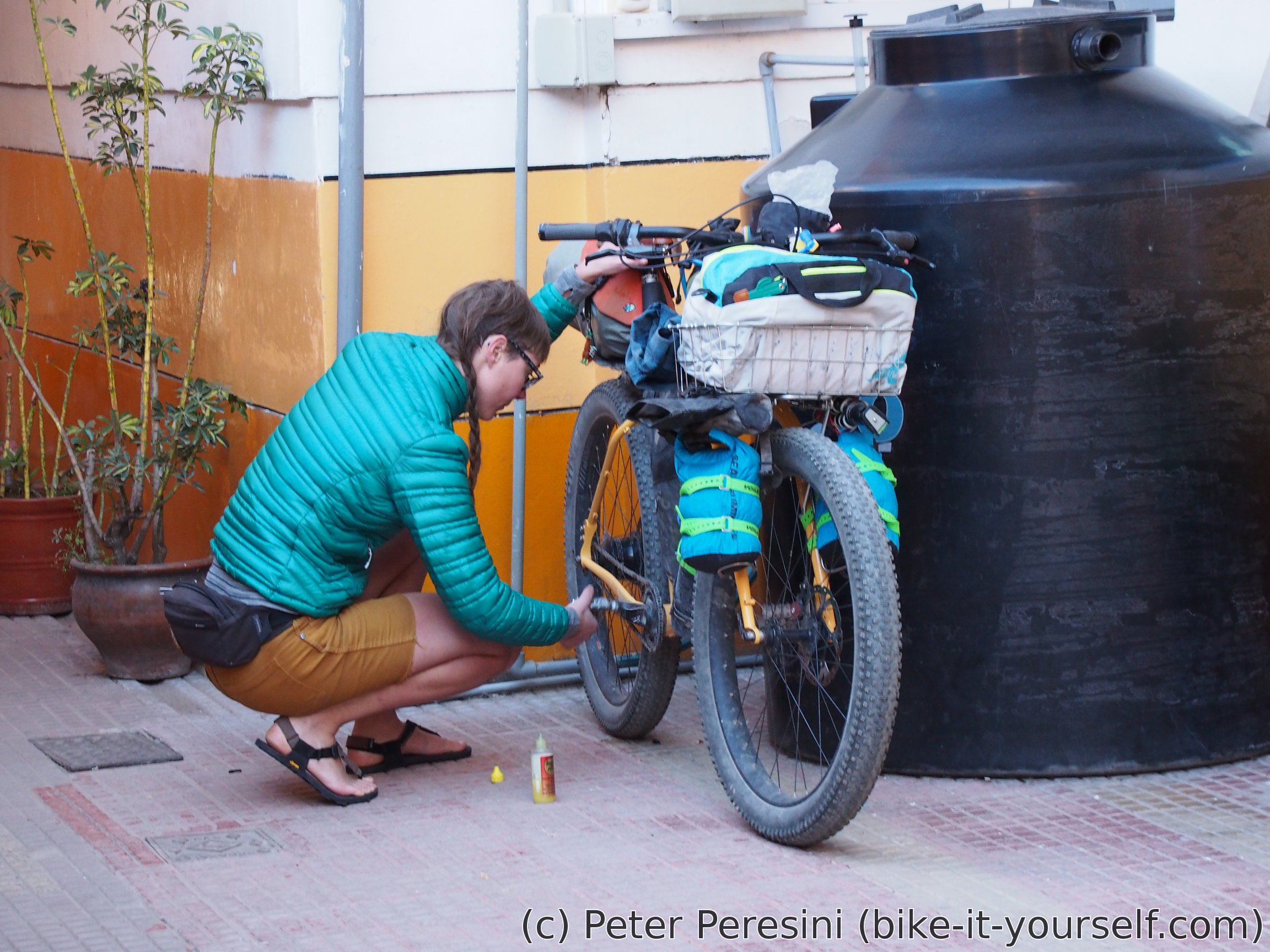
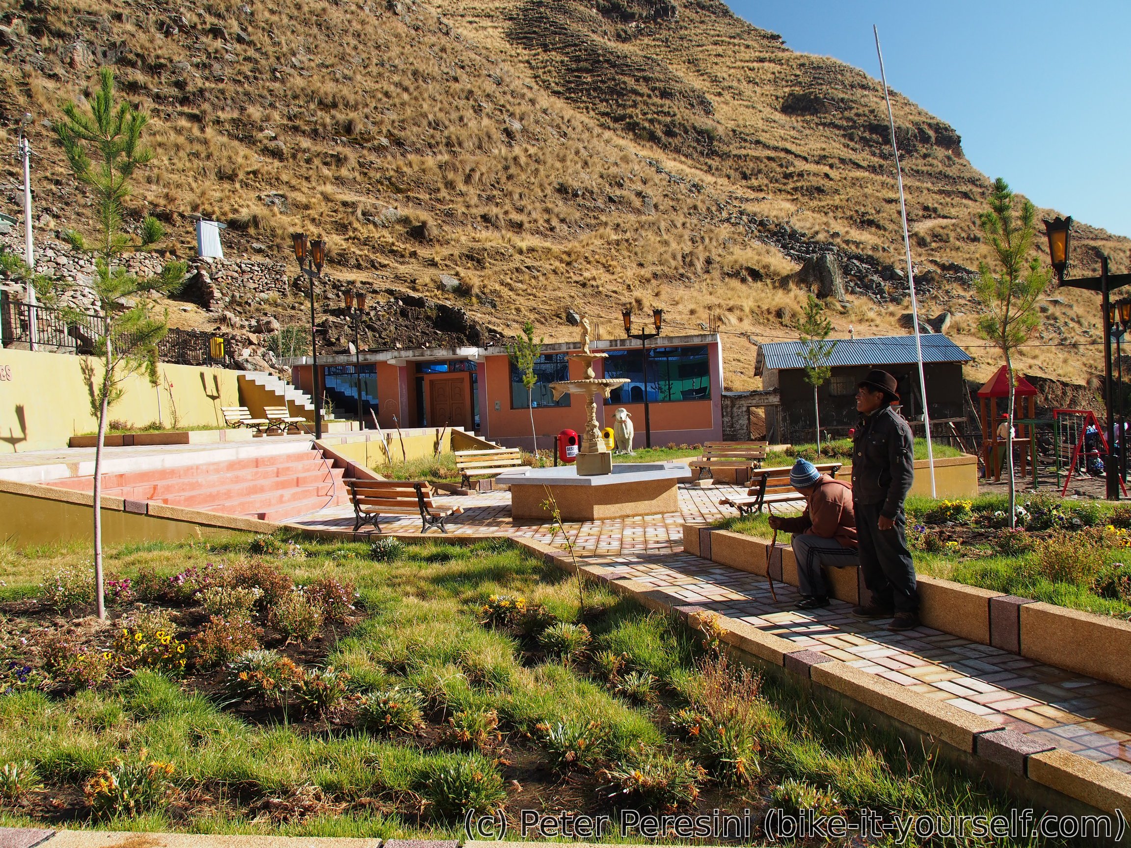
When I finally get down I find myself just below the cliff and a bit from Acobambilla. This village thus reminds me of Swiss Leukerbad with similar set of views up the cliff. In Acobambilla I find a hospedaje and make a visit to a local centro de salud. After a long explanation with my bad Spanish I manage to explain that I need something for diarrhea but with a different active substance from what I am using currently.


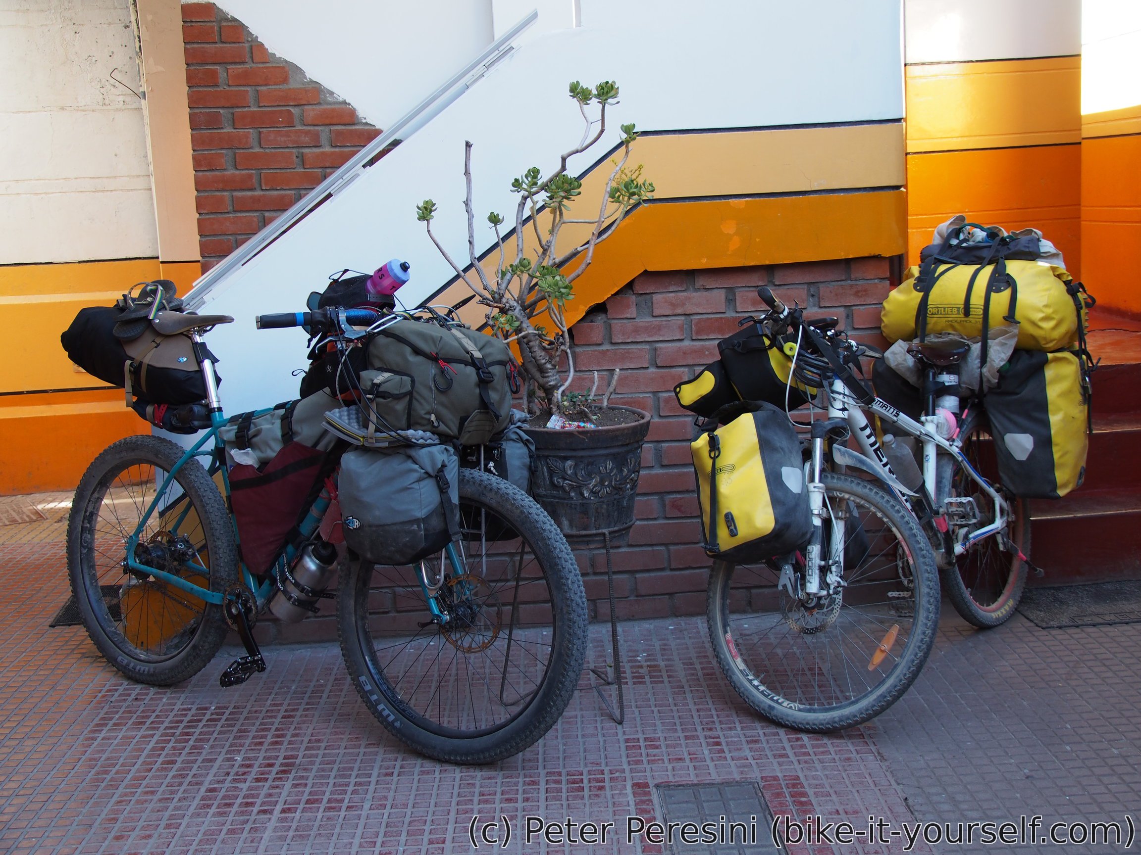
Returning from centro de salud I am surprised to find my four Huancavelican cycling friends at the main plaza. By now I thought they are just too far ahead. It turns out that yesterday they were really lazy and did not leave Huancavelica before 2pm. Then they got into the storm before the pass. Oh, and they found out that Acobambilla has two more cyclists -- Jeremy and Madeleine are a french couple which I first met down in Patagonia on a boat to Villa o'Higgins. They were staying in Acobambilla for two or three days because of some stomach problems. Given that they have a full bike-touring setup we decide to pool together for the next few days as we should have relatively similar speed.
Route
Download simplified GPX of a route here
Stats by activity:
| Activity | Distance (km) |
Ascent (km) |
Pedal rotations (thousands) |
|---|---|---|---|
| bike | 74 | 2.0 | 25 |
| Date | Distance (km) |
Ascent (km) |
Avg. temp (moving, C) |
|---|---|---|---|
| Aug. 22, 2017 | 38.2 | 1.03 | 18.8 |
| Aug. 23, 2017 | 35.9 | 0.94 | 22.1 |
Elevation data
The next table is only for cycling activity.
| Grade(%) | Ascent (km) | Descent(km) |
|---|---|---|
| < 2 | 11.9 | |
| < 4 | 3.2 | 2.7 |
| < 6 | 3.0 | 3.1 |
| < 8 | 6.4 | 4.7 |
| < 10 | 2.9 | 3.3 |
| ≥ 10 | 3.1 | 5.7 |
<a href=http://gcialisk.com/>cialis without a doctor's prescription
<a href=http://vskamagrav.com>buy kamagra uk with mastercard
<a href=http://vslasixv.com/>buy lasix uk</a>
<a href=https://cialiswwshop.com/>buy cialis online forum</a>
<a href=http://cialiswwshop.com/>buy cialis</a>
hydrochlorique <a href="https://keys-chloroquineclinique.com/#">chloroquine mechanism of action</a>