
Huacullo to Haquira (altiroute part 2)
 Share:


In the second installment of my alti-route of 200km all above 4500m the things are getting real high. In fact, I am getting to the highest point of this whole South-American journey, a 5114m high pass (and yes, this is even higher that all my subsequent hikes!).
July 11
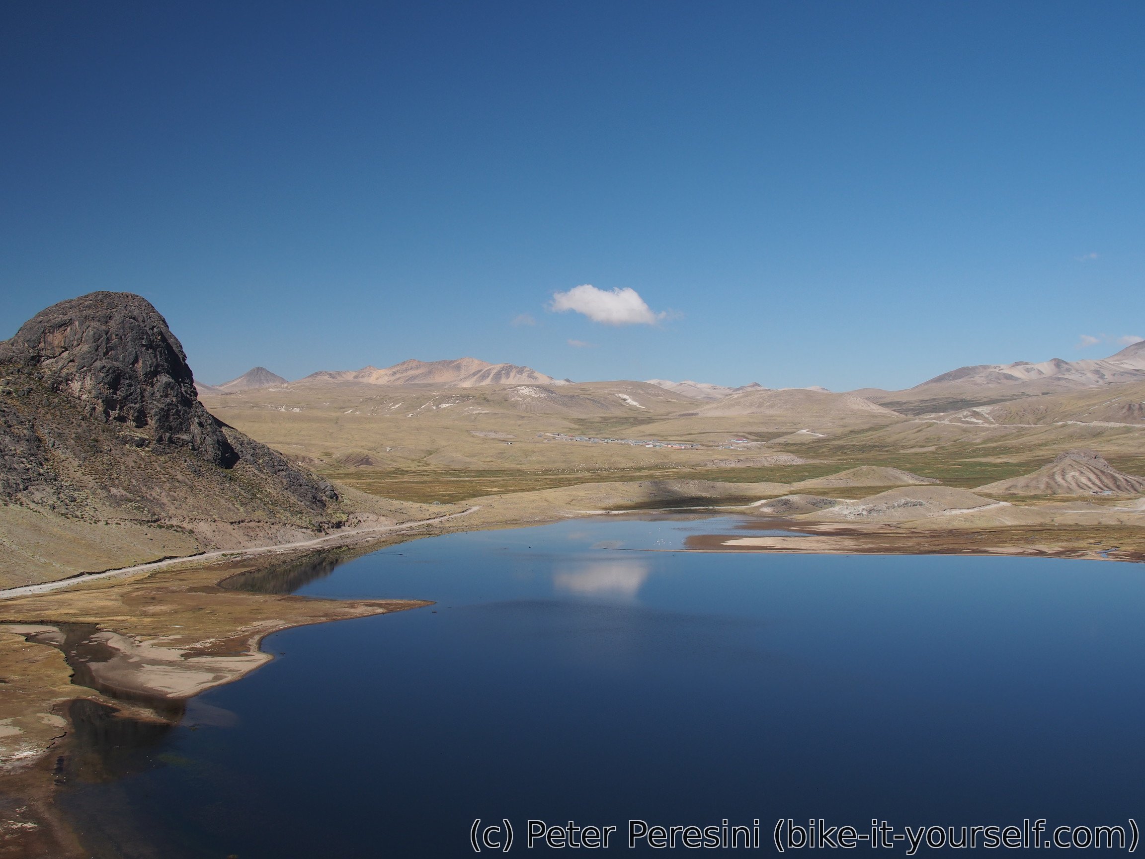
I wake up into a misty morning with low clouds hanging all around the place. After (a kind of mandatory) coca tea and breakfast I set off for a hard day. After a quick but steep initial climb the route takes me around a beautiful lake and wetlands. Fortunately the clouds are clearing around this point and a blue sky appears.
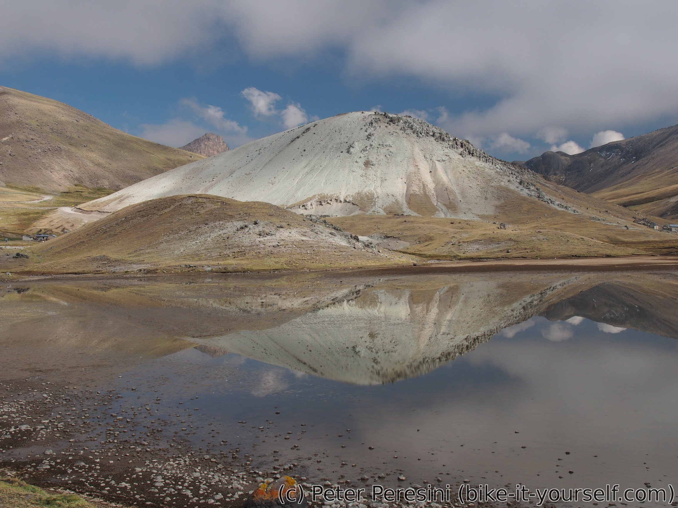
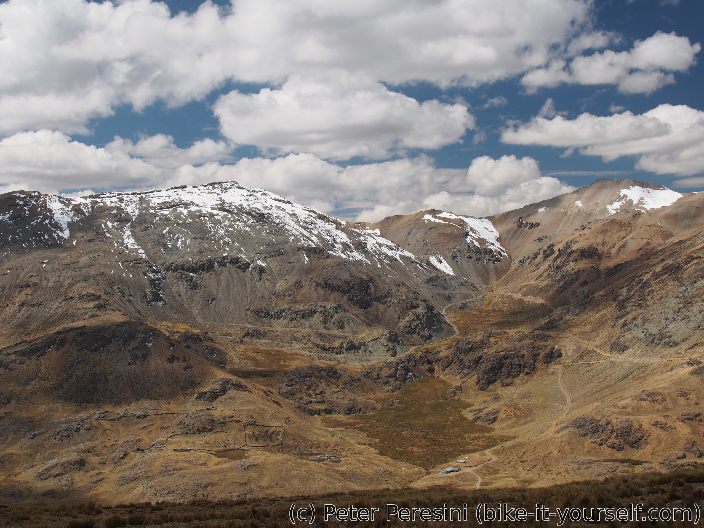
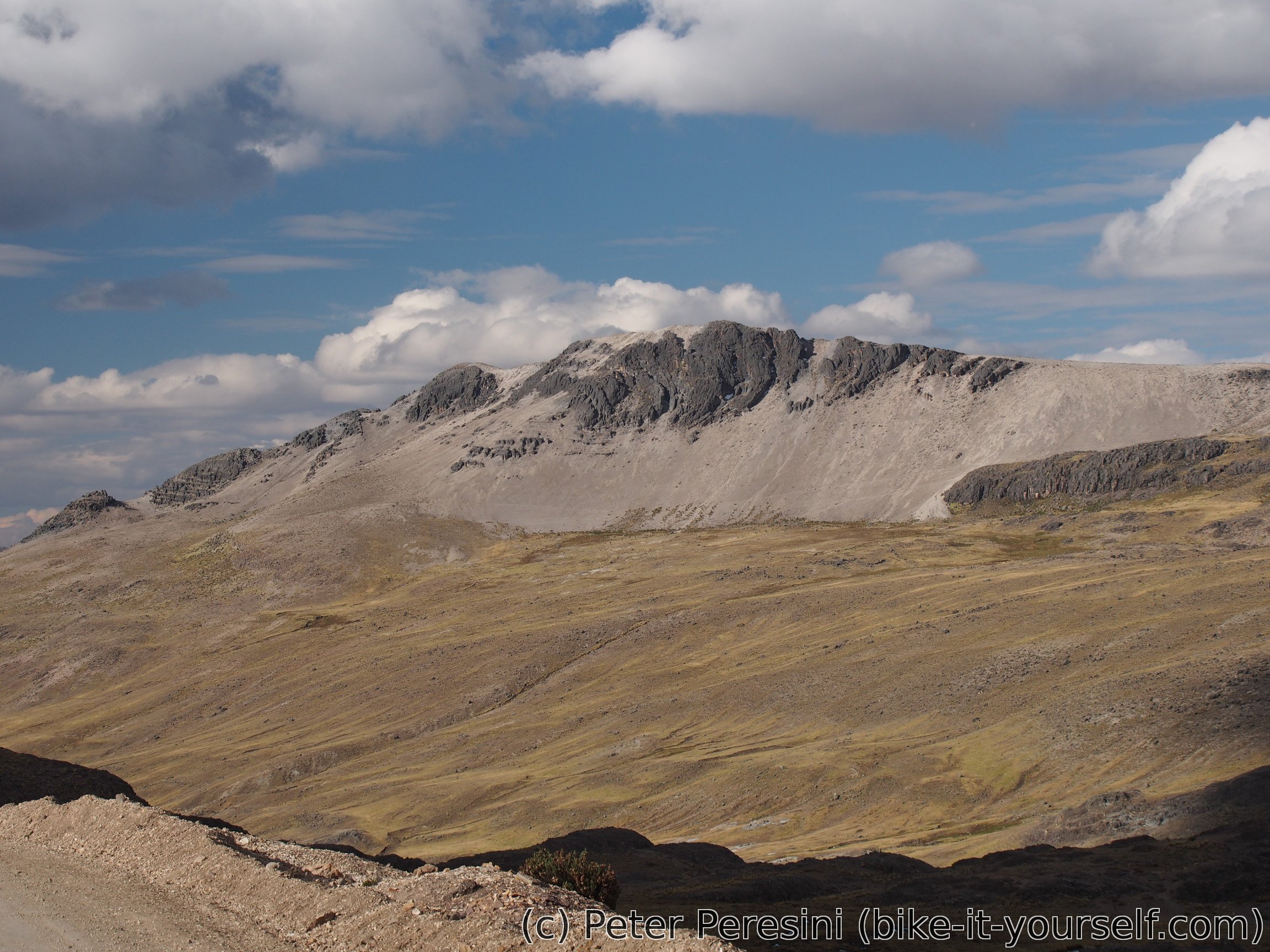
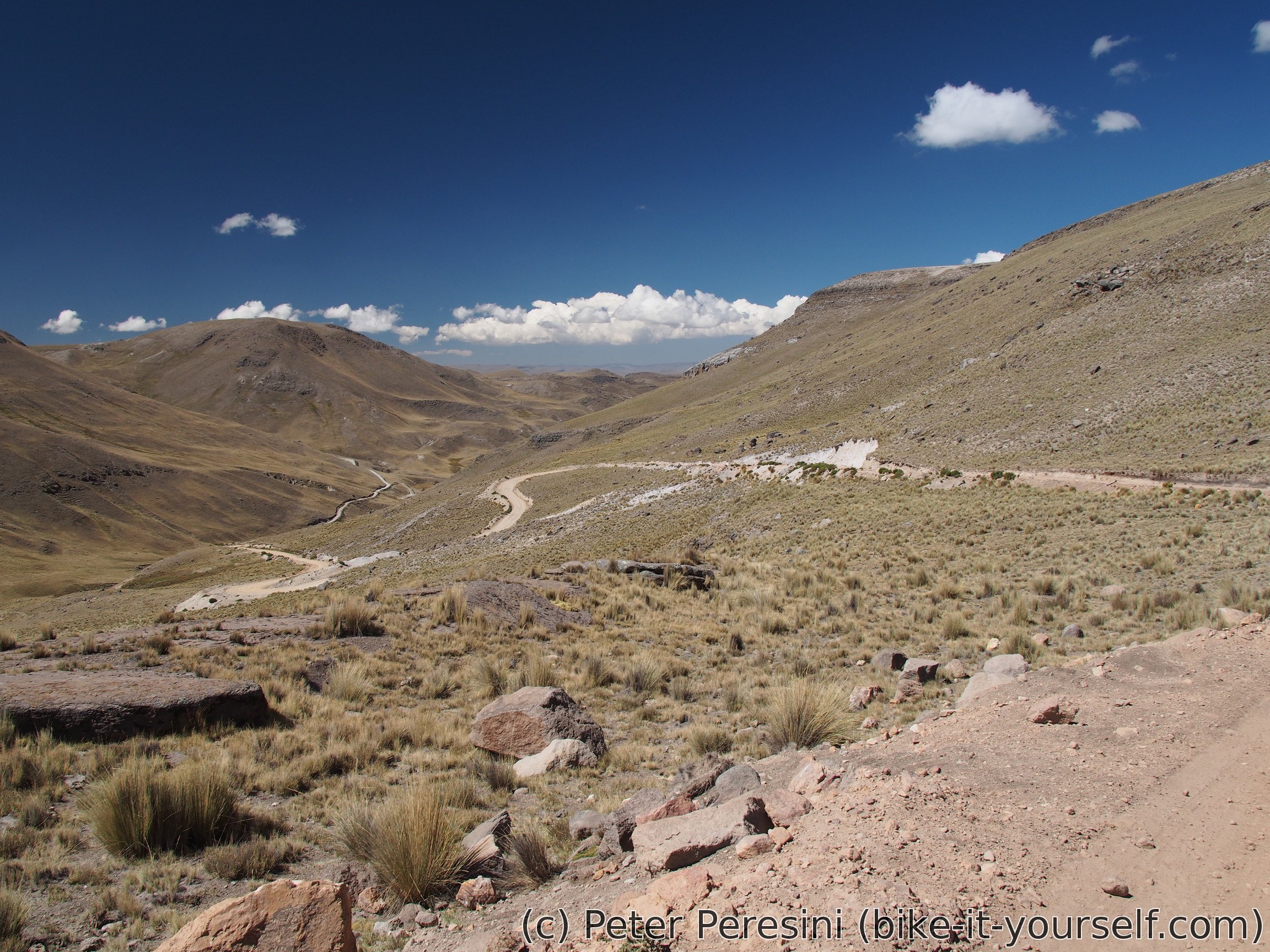
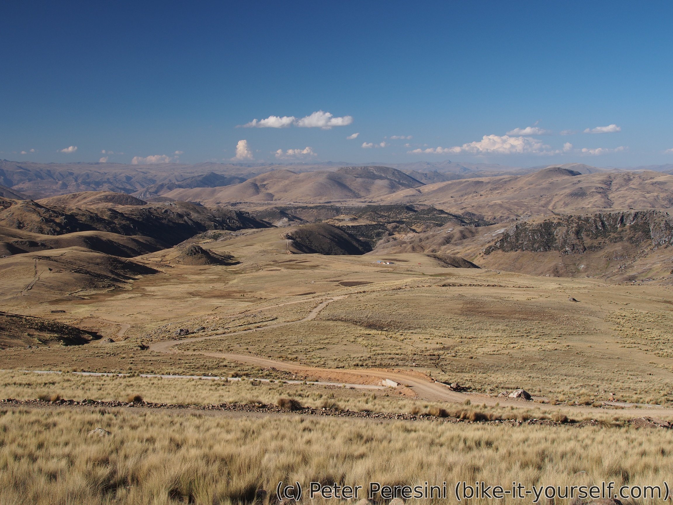
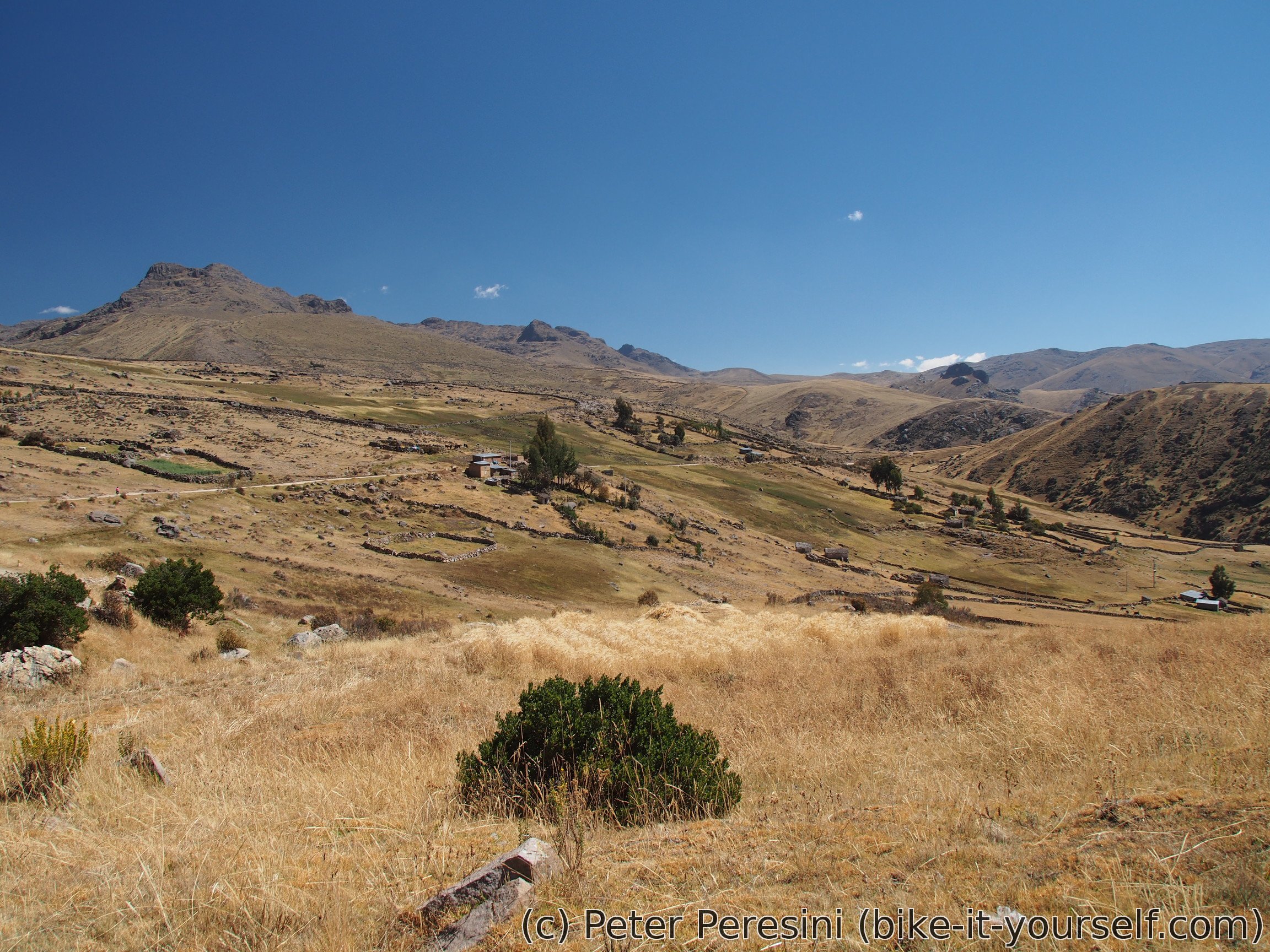
After my brief (but beautiful) ride through flat wetlands the real thing starts. And very steeply at that. I slowly climb above the lake and then it gets out of the view. Instead I enjoy a view over a bunch of mountains.
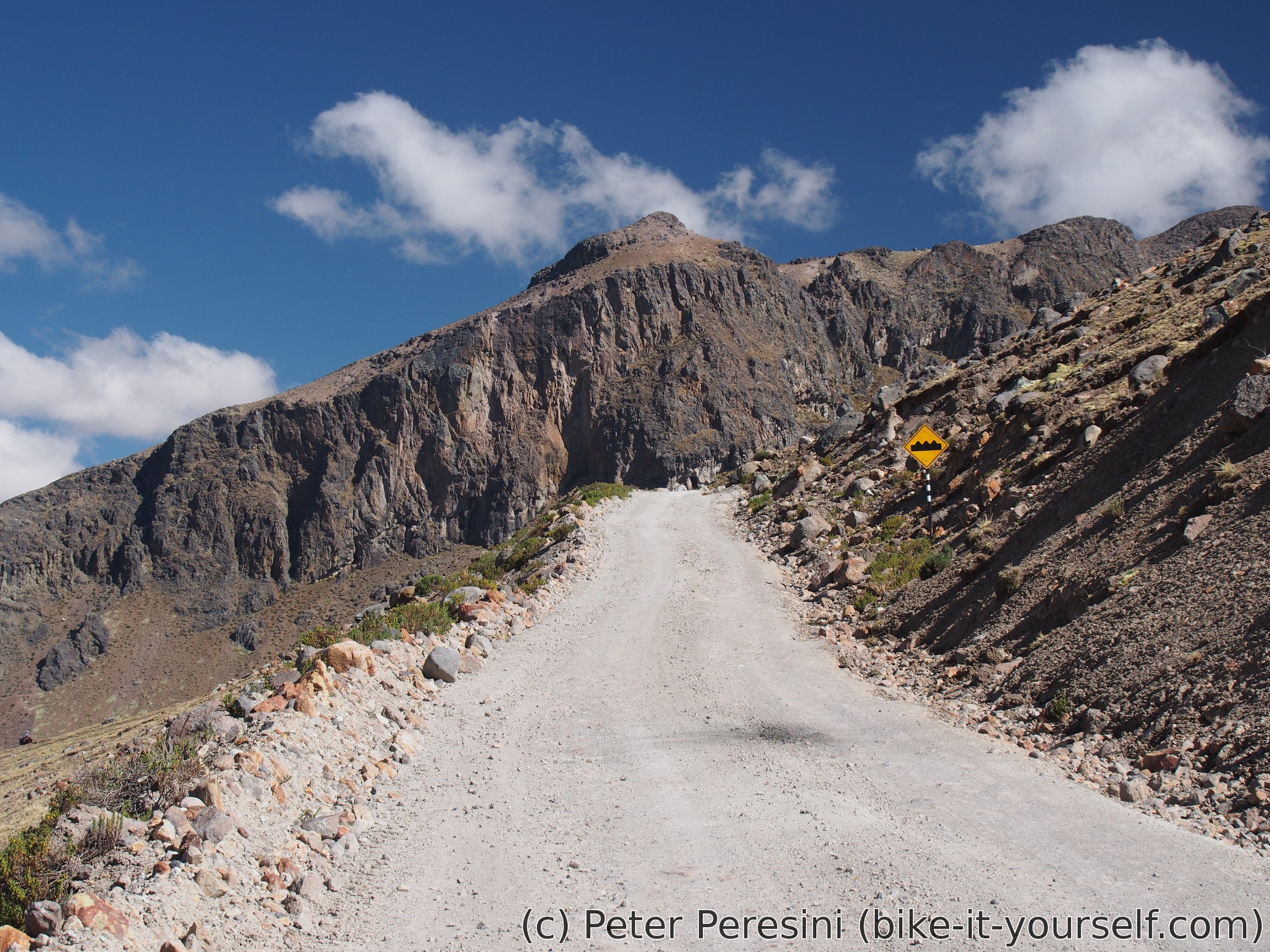
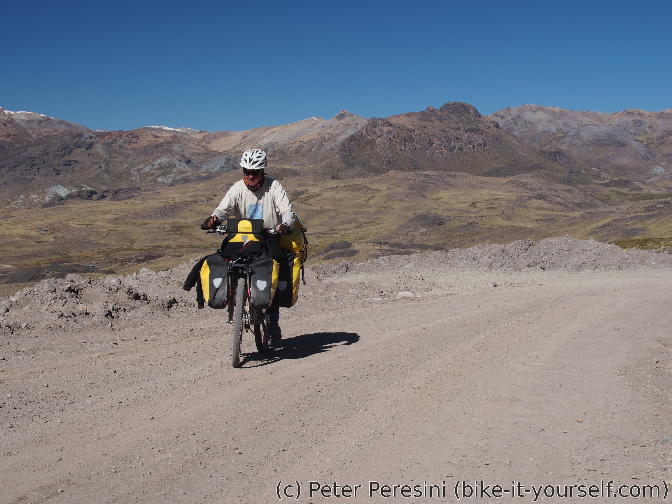
It is amazing to watch how people can complain. So far I complain about almost any part of the climb. But this is going to change. Because the real steep part appears just before the end of the climb. With grade going well over 10% this is a hard pushing job and I wonder why I complained before ...


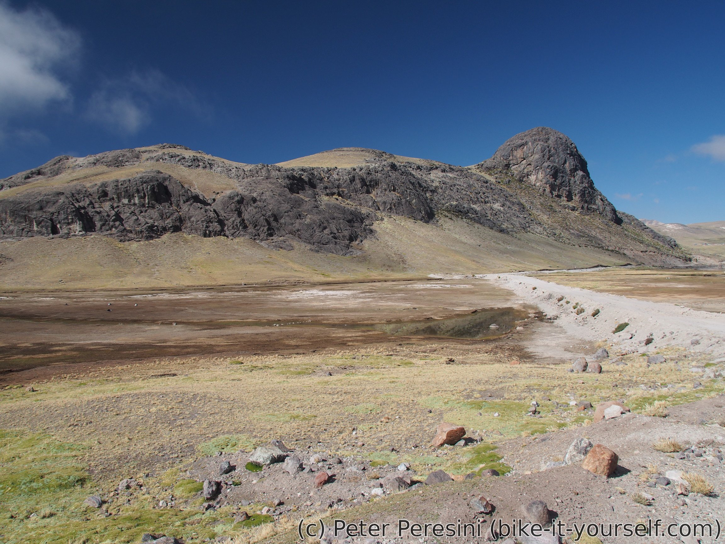
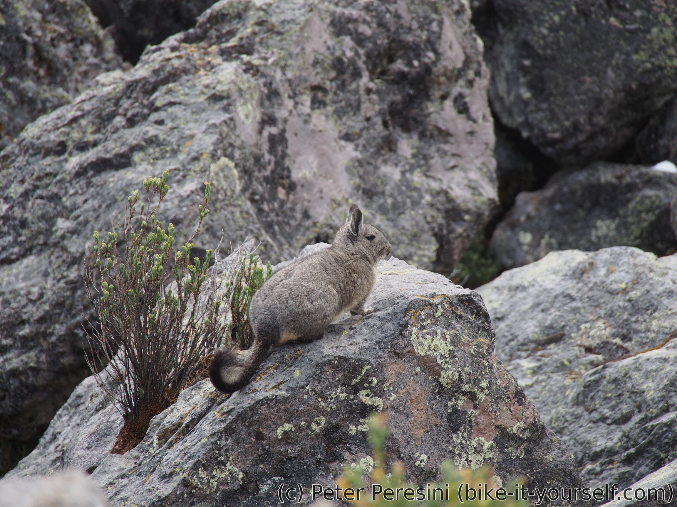
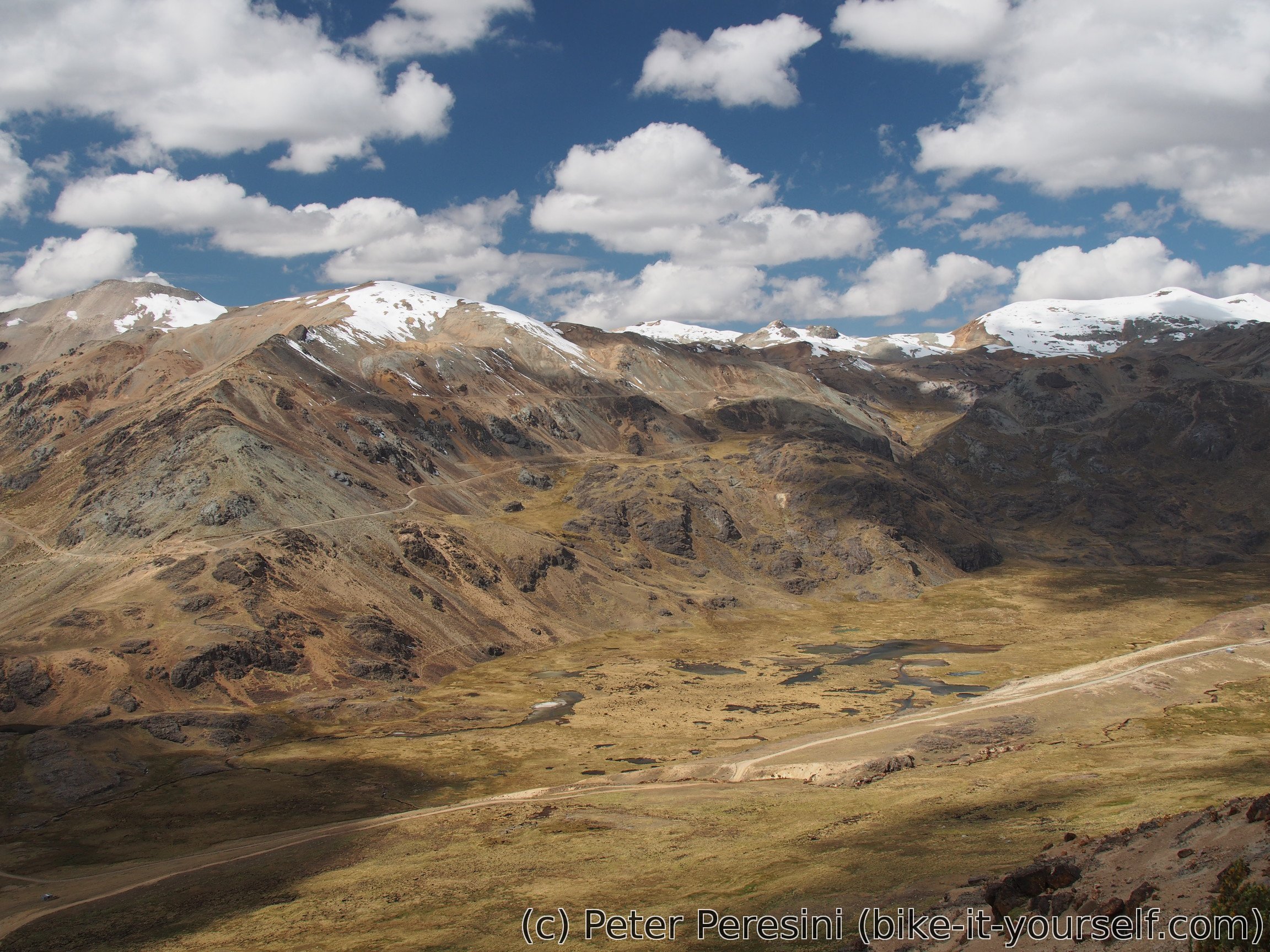
As it is usual with any sane (e.g., Euclidean) space, after an ascent a descent must follow. This lead around a big valley. On my way I pass sungazing viscochas and decide to take a short break there.
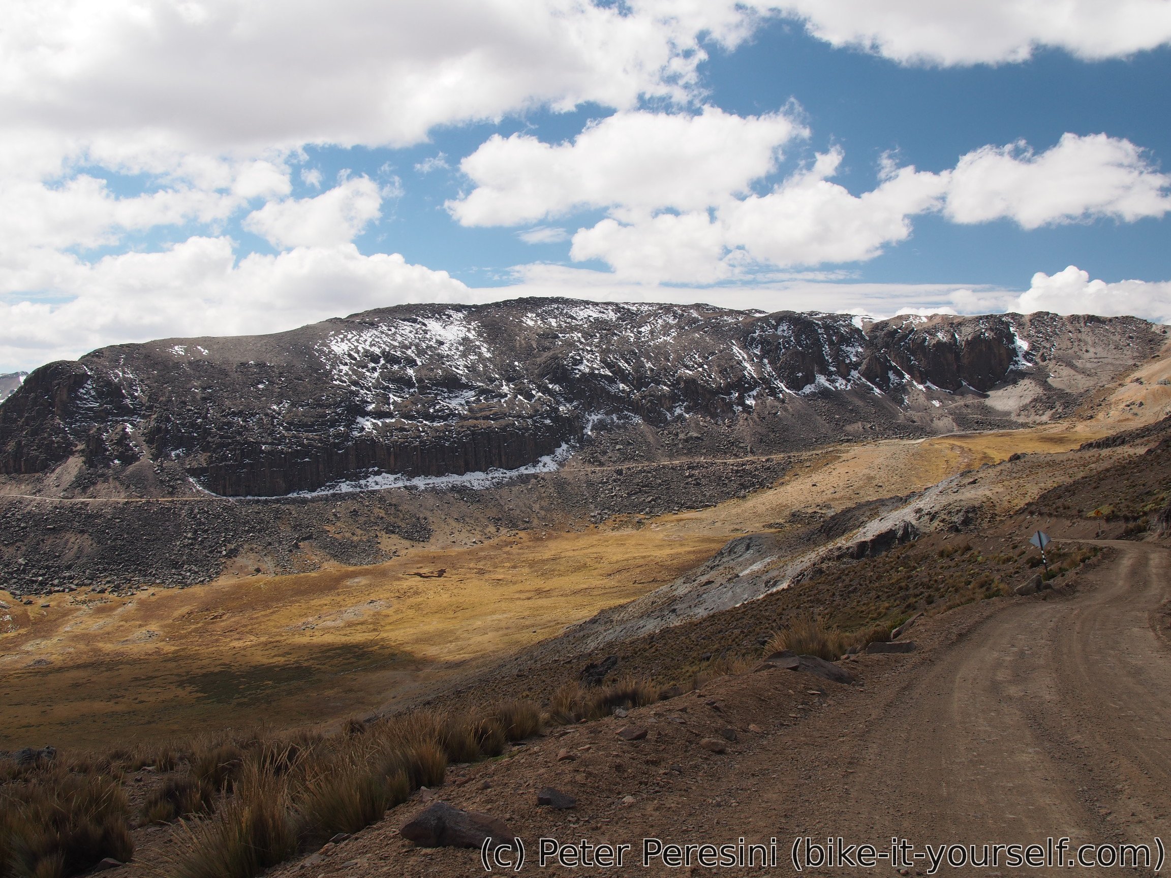
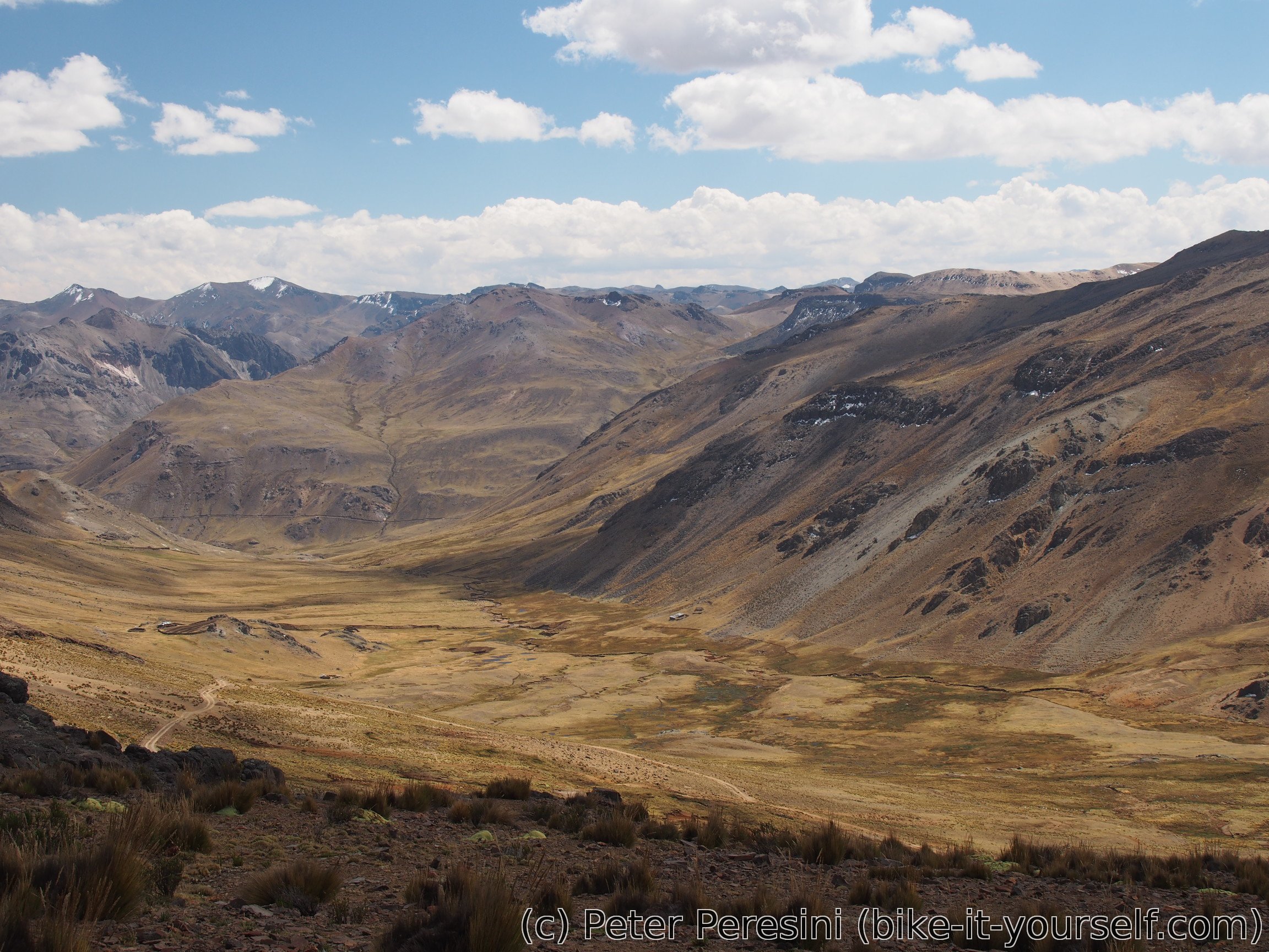
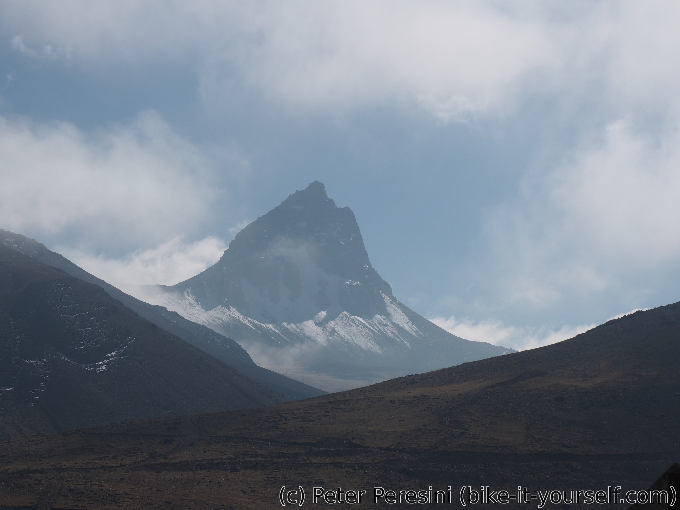
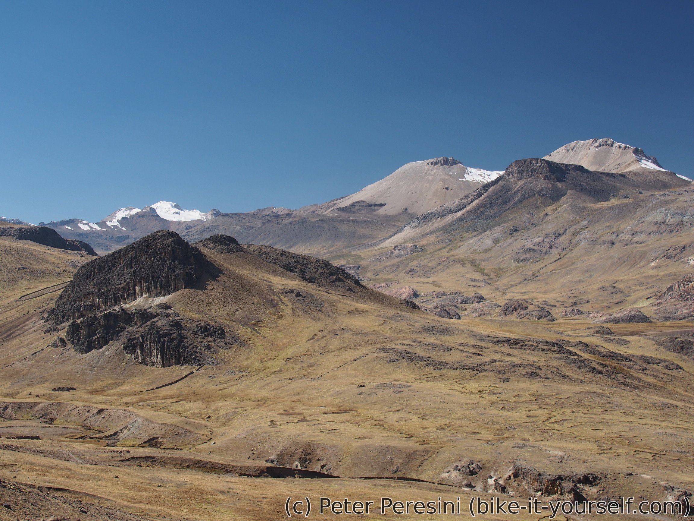
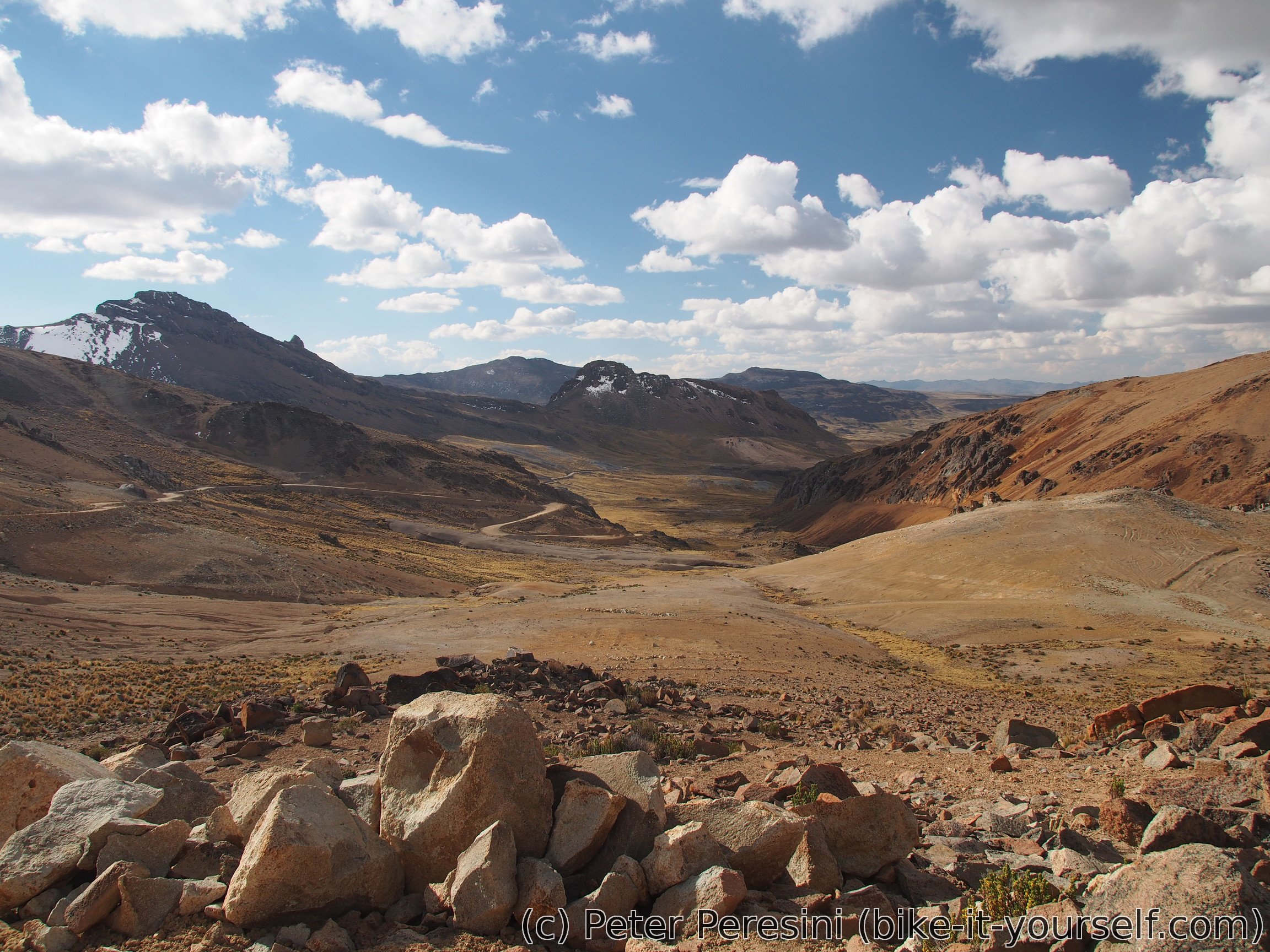
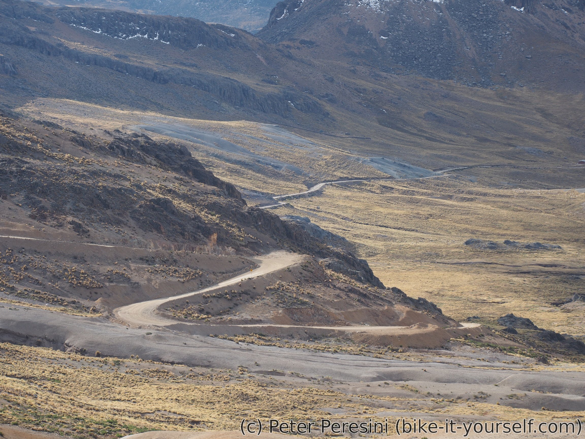
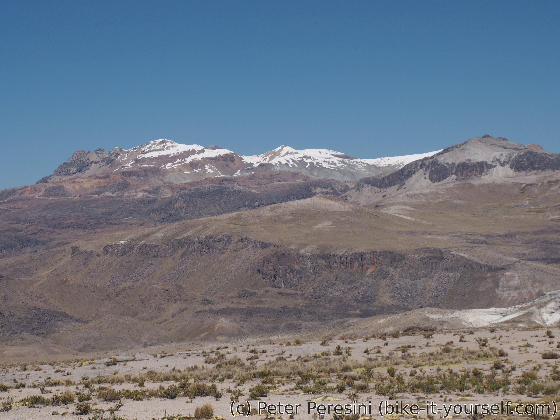
After the break I continue with another climb, this time much gentler. From the top of this second climb another set of great views follows.
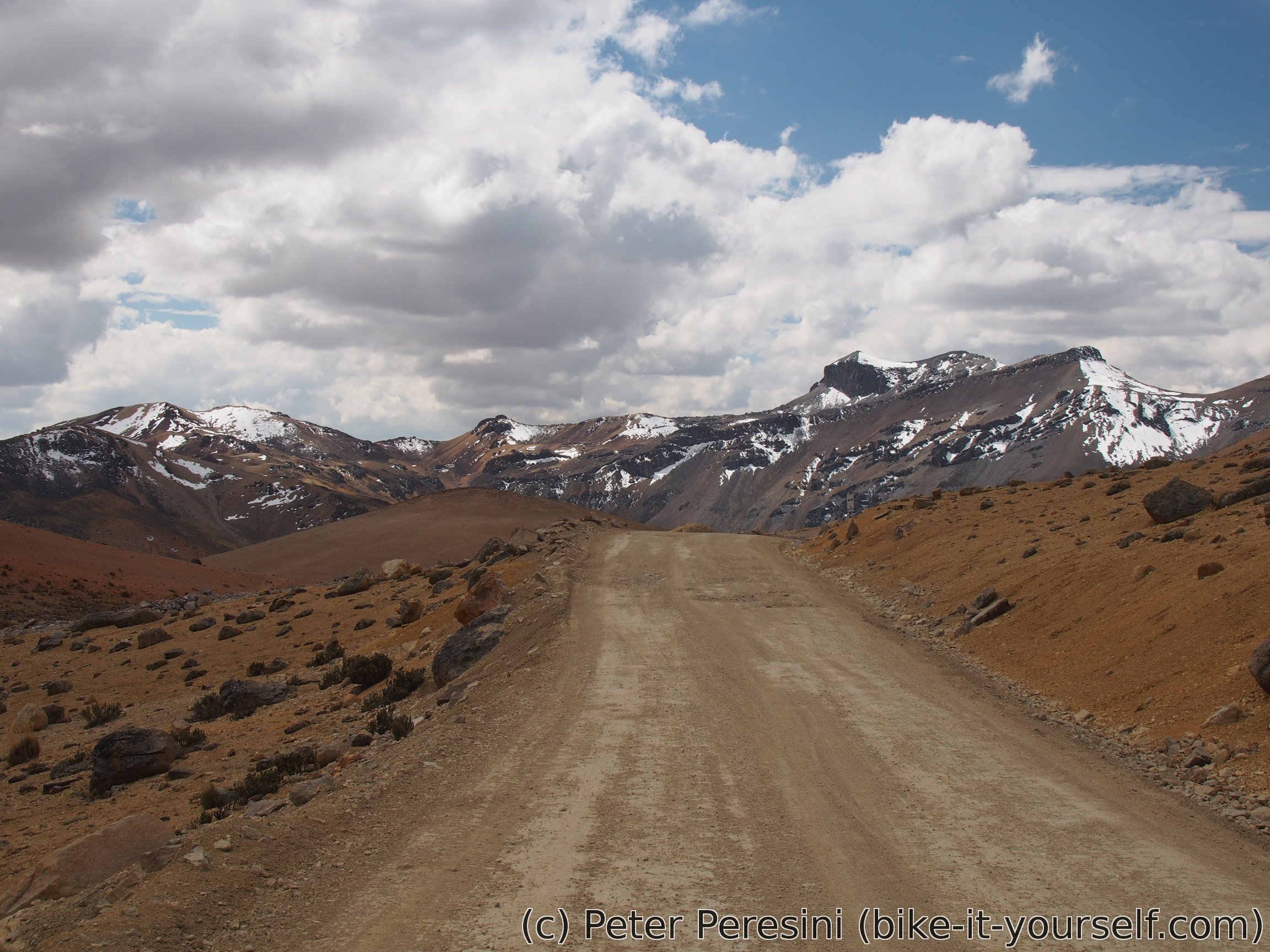
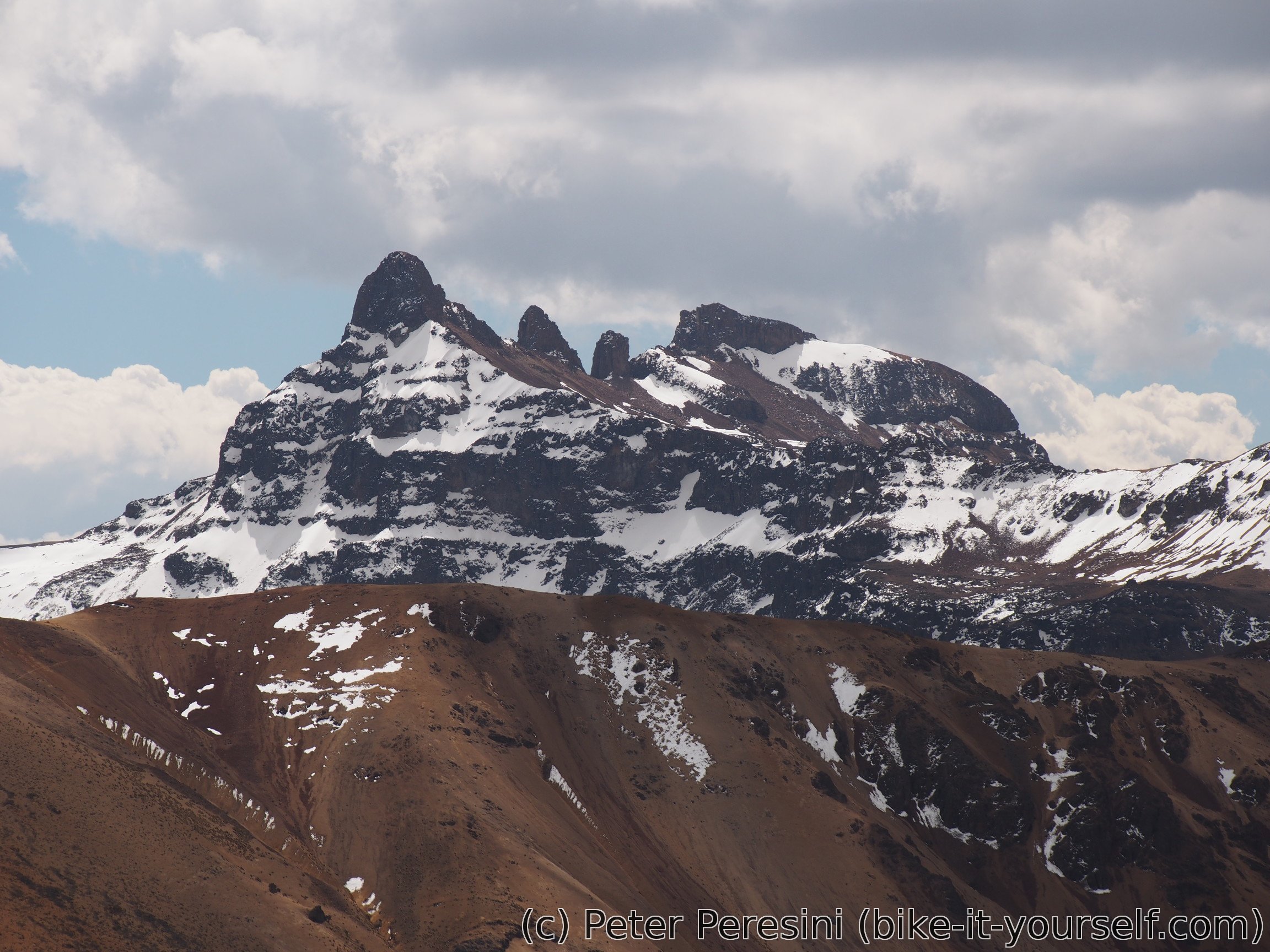
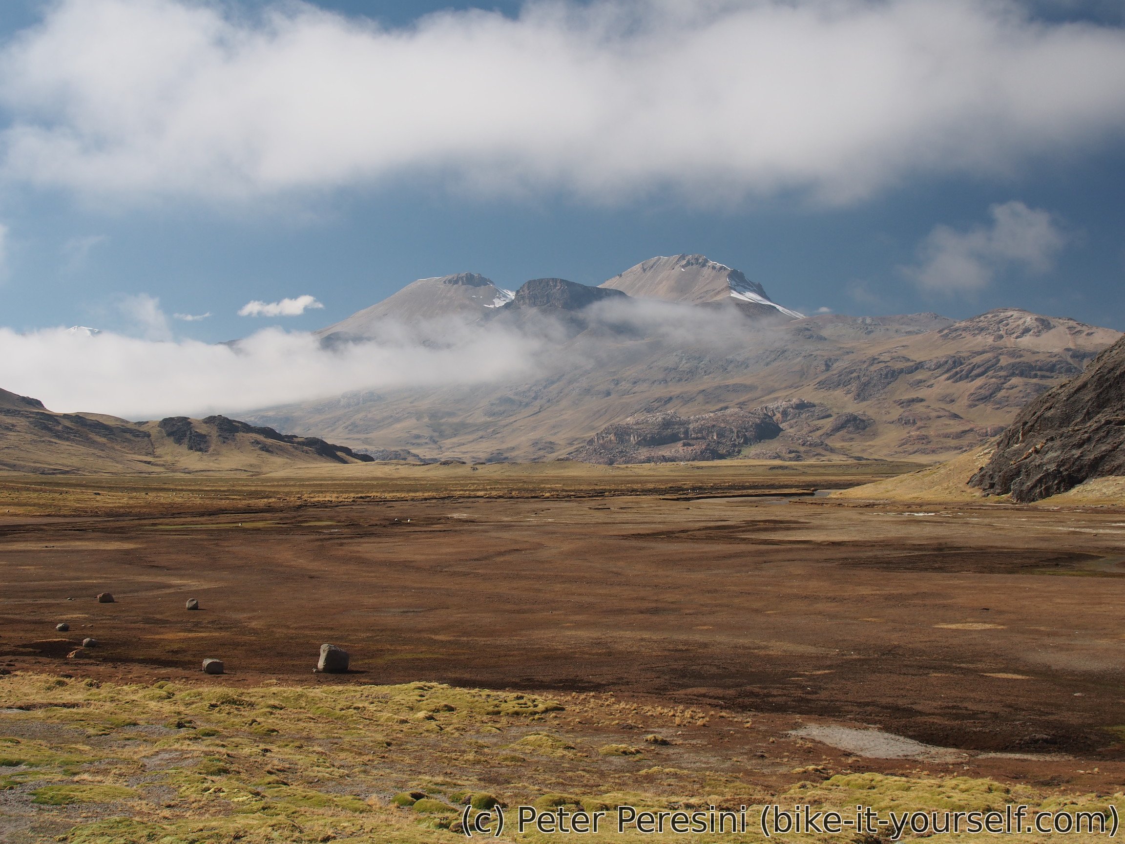
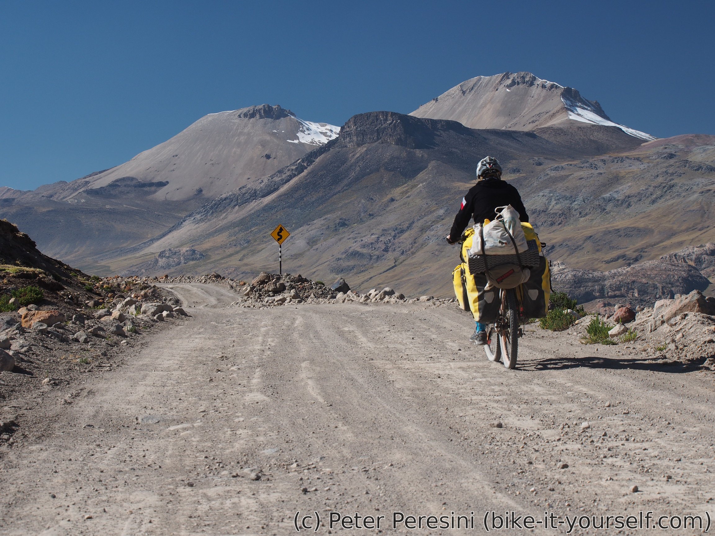
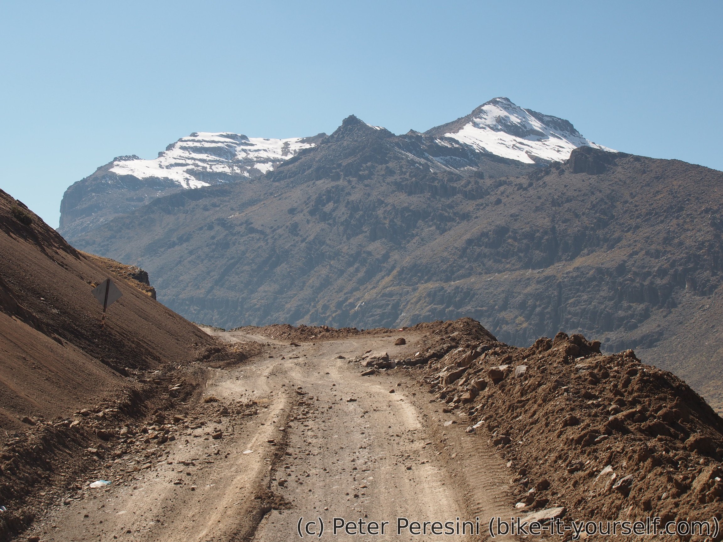
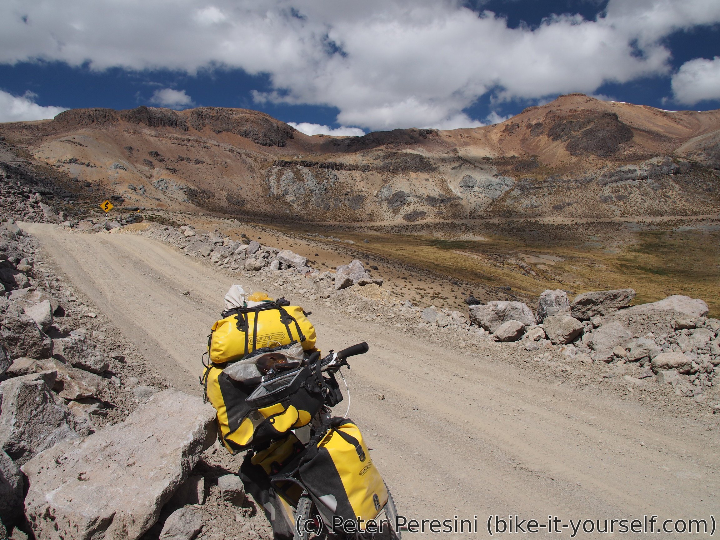
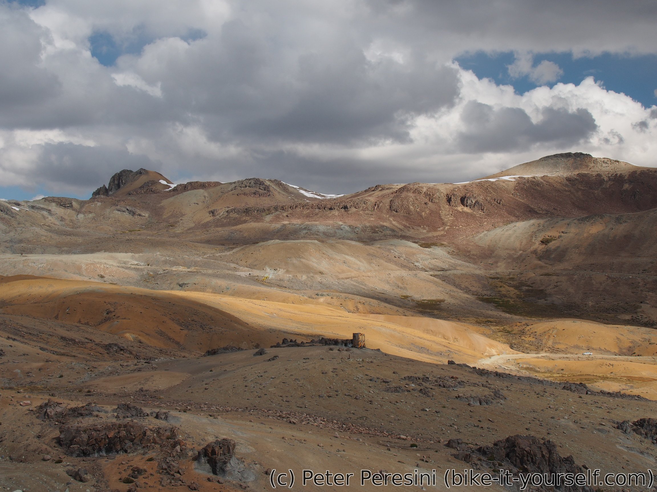
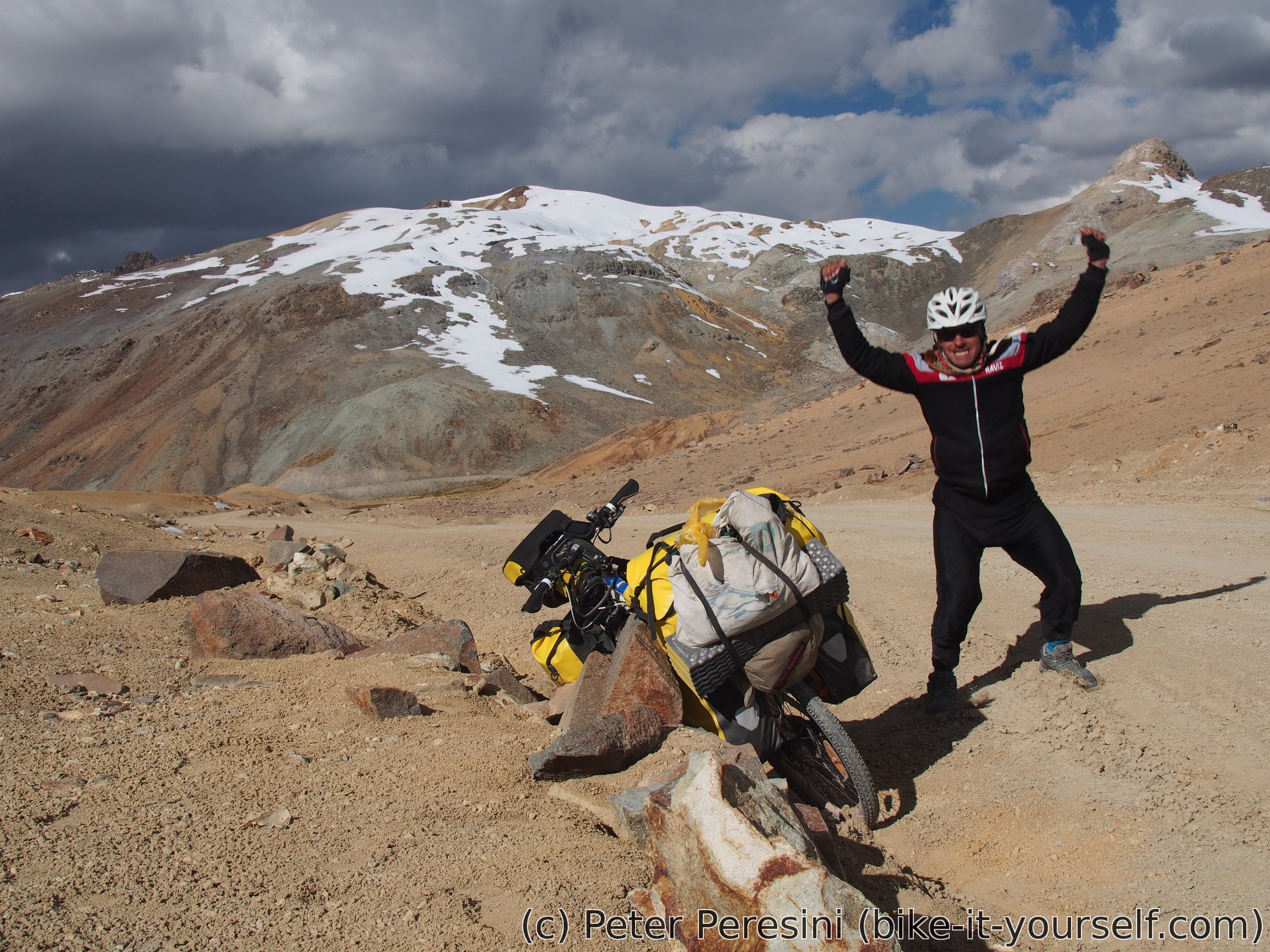
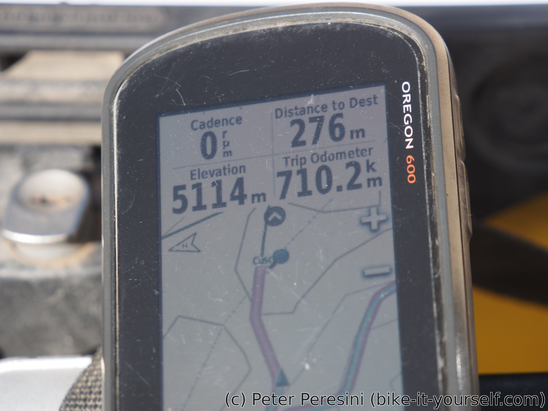
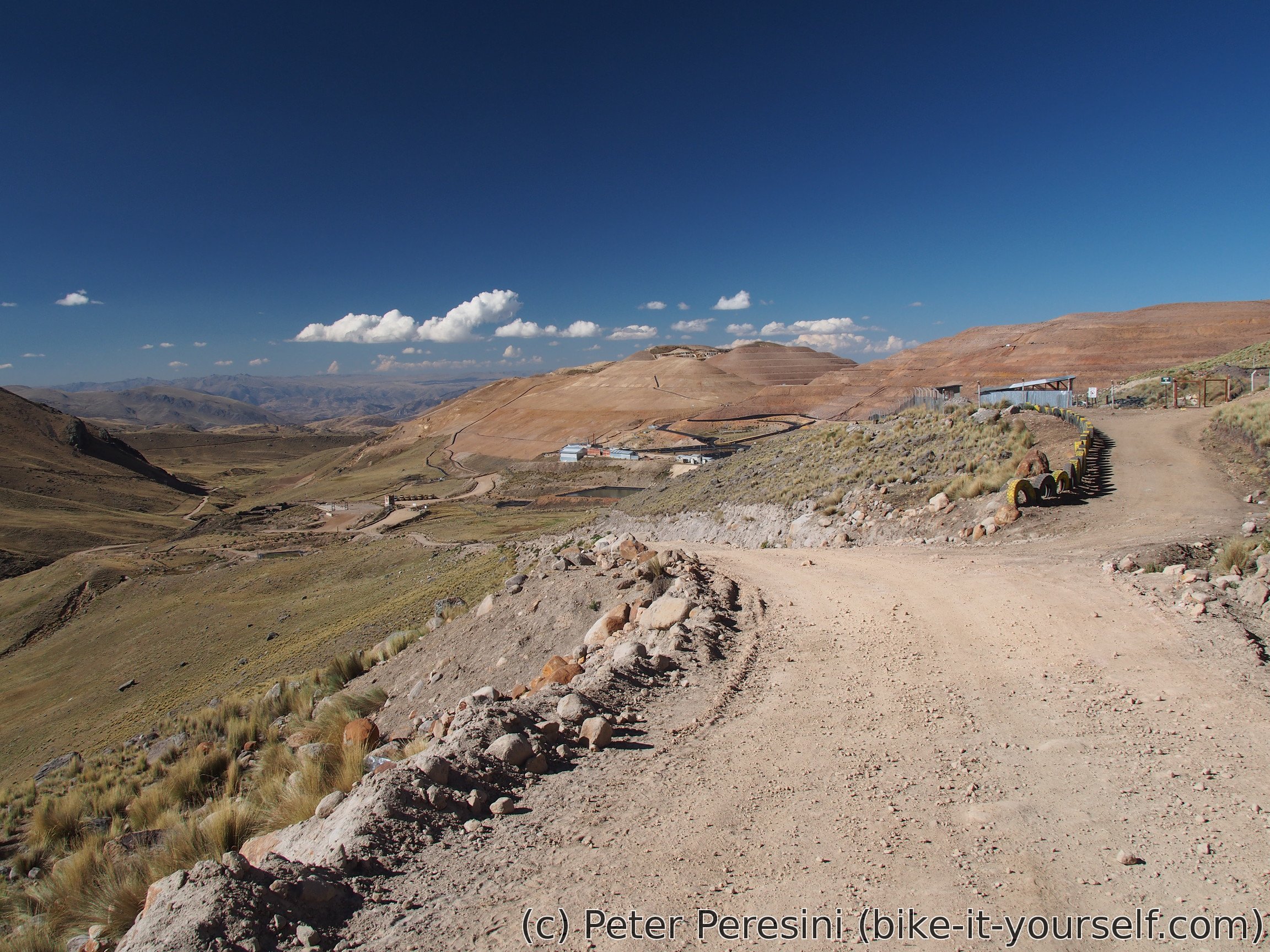
After the second downhill I am preparing for the main event of the day -- the 5114m high pass which is a total highpoint of my whole South American journey! And how do you prepare? Well, by eating lunch of course! The pass itself actually lies inside Mina Azuca so I need to register with a guard. He is quite talkative (and capable of downgrading his Spanish level) so we have a quick chat. I guess he doesn't have many visitors here. But it is time to continue so I get back on my bike and slowly crawl up the road.
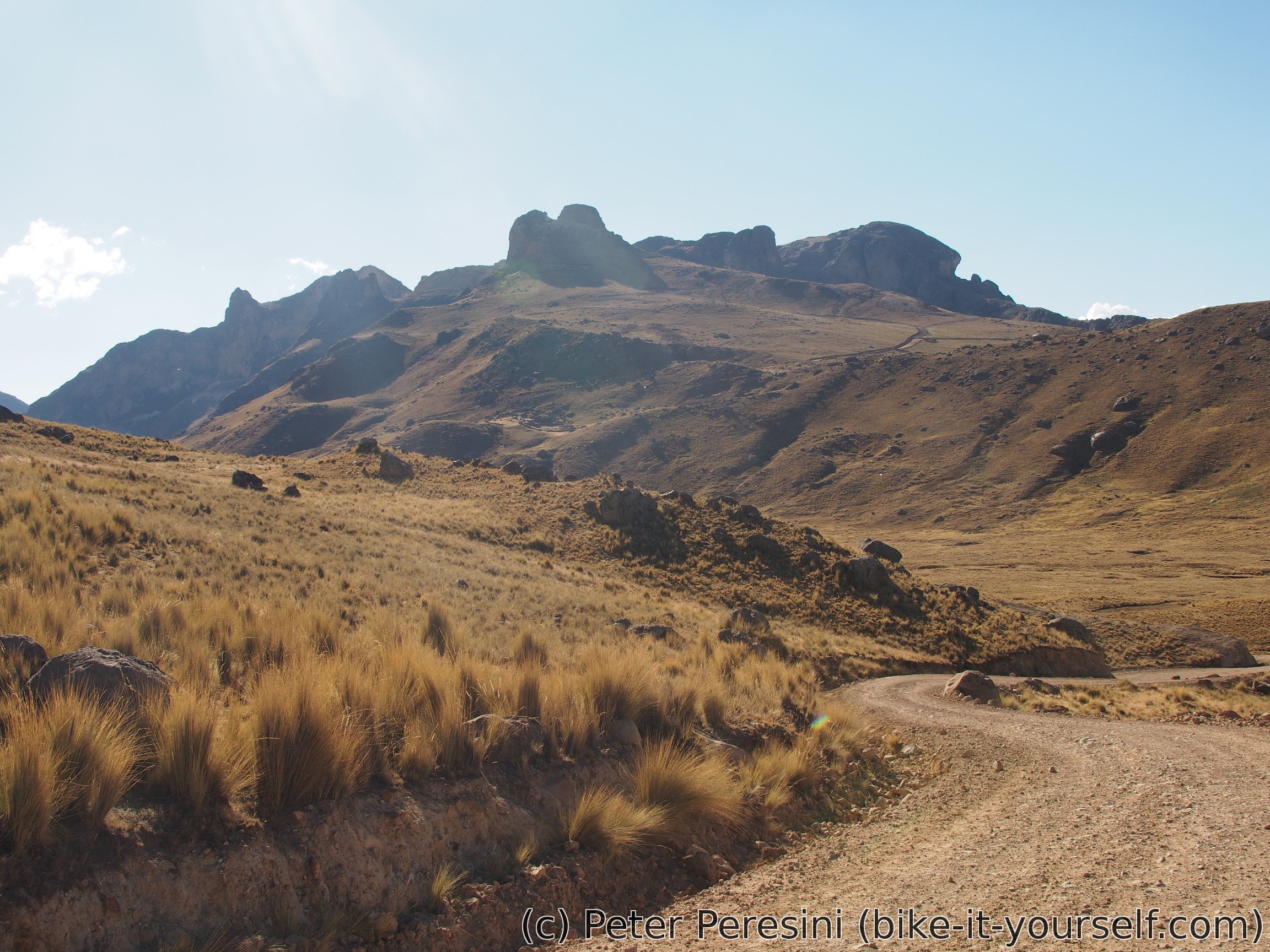
Afterwards I finally set off to finish this beast. And the beast it is -- while most of the time the gradients are reasonablish there are a few steep sections where I need to push. At elevations like these anything becomes quite tricky so grades of 5-6% are the maximum I can ride. Anything above that and I need to catch breath so frequently that it is better just to slowly push the bike.
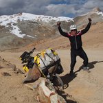
After a last push over a steep section I finally end up in the pass. What a relief and sense of achievement!
When the time for a downhill comes I cover myself in another layer of clothes -- by now there are lots of high clouds diminishing the Sun's warmth. Add to it the elevation and wind (which you are bound to get if you are going fast enough) and it is clear that even this preparation wouldn't completely prevent the cold seeping into my bones. Fortunately, quick stops help to regain some of the warmth.


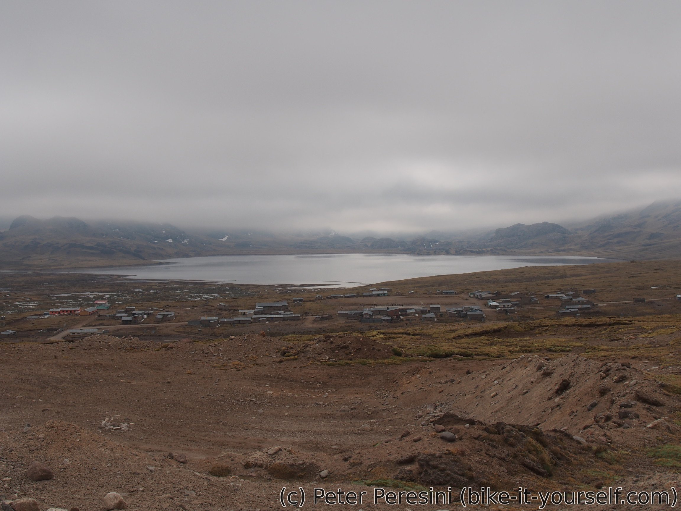
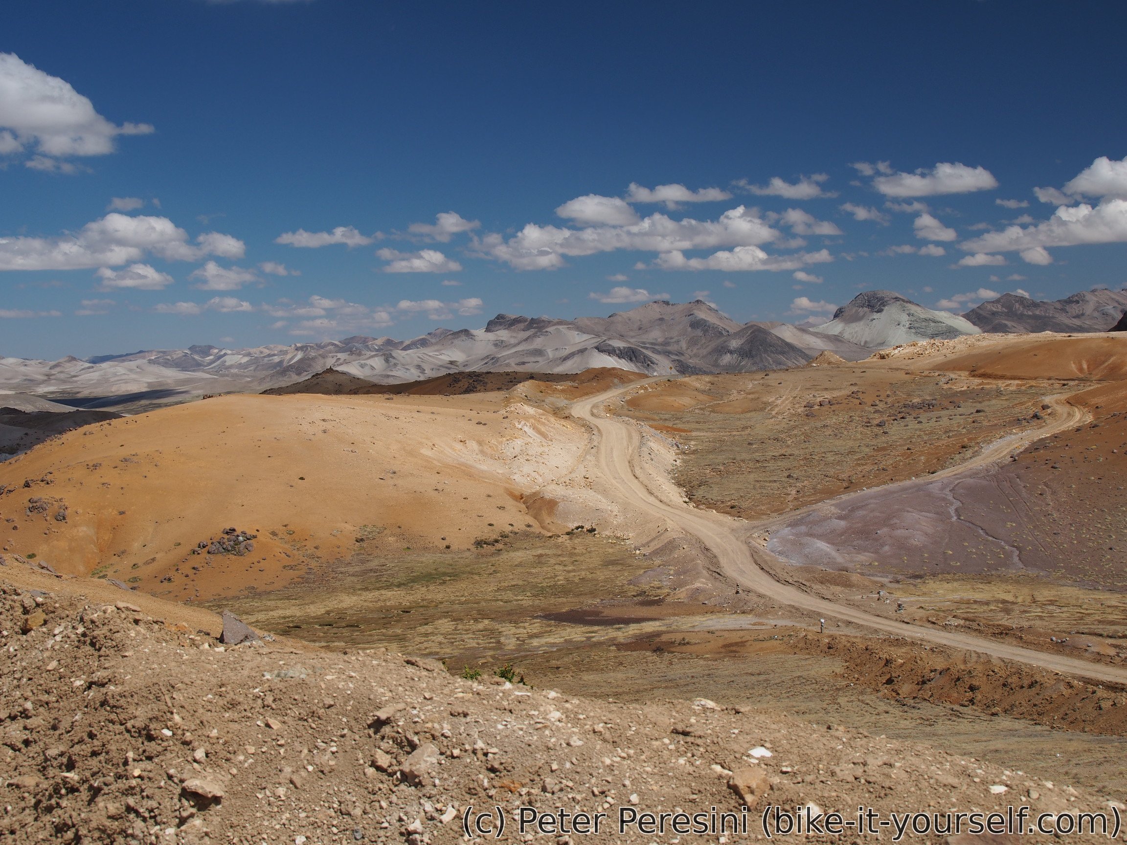
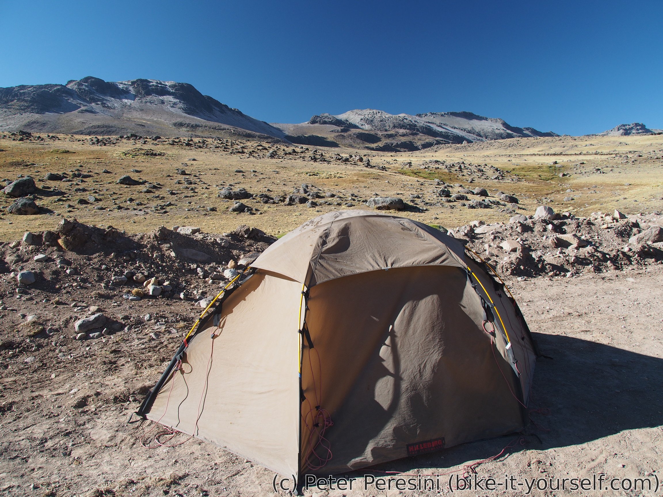
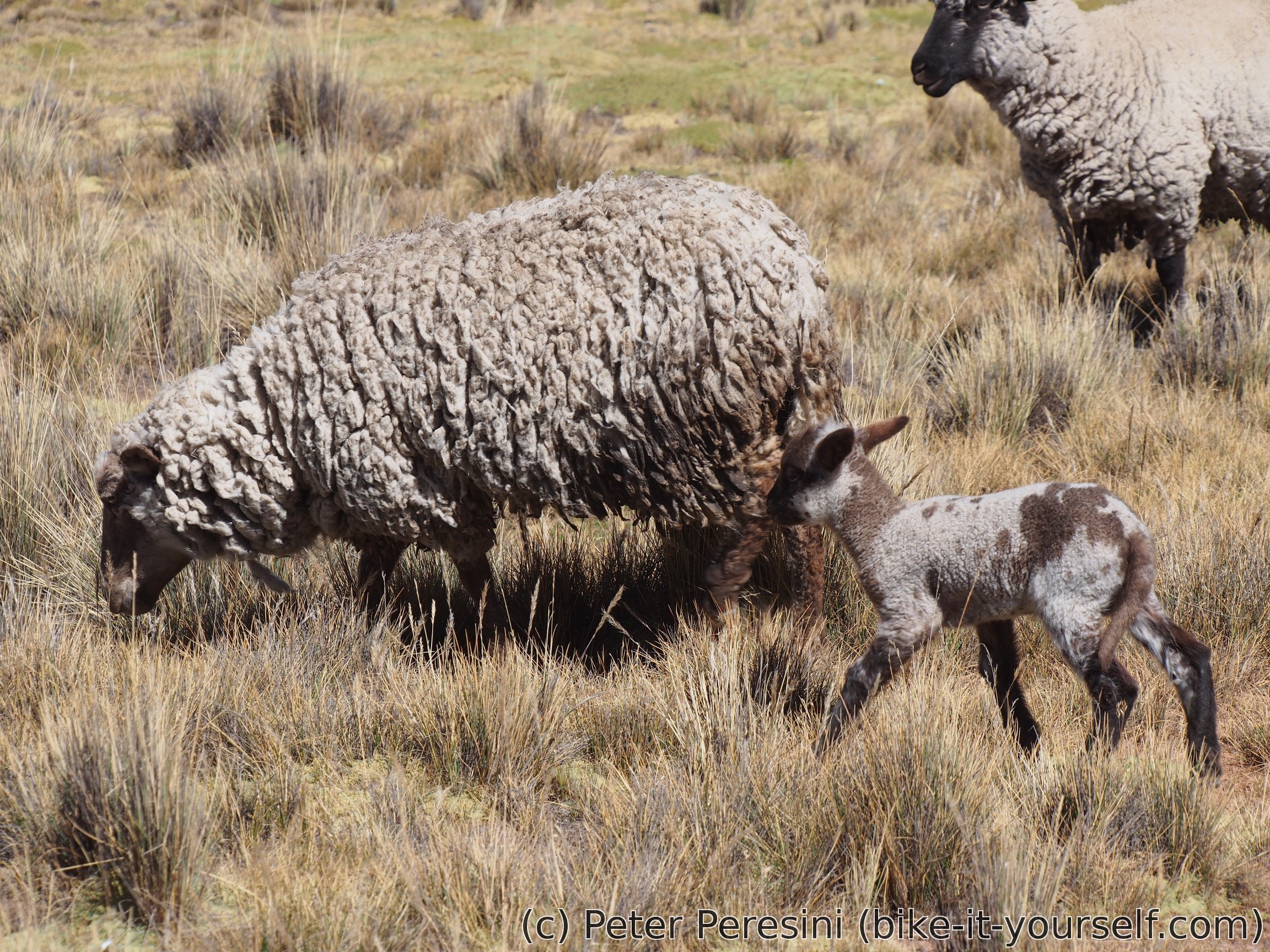
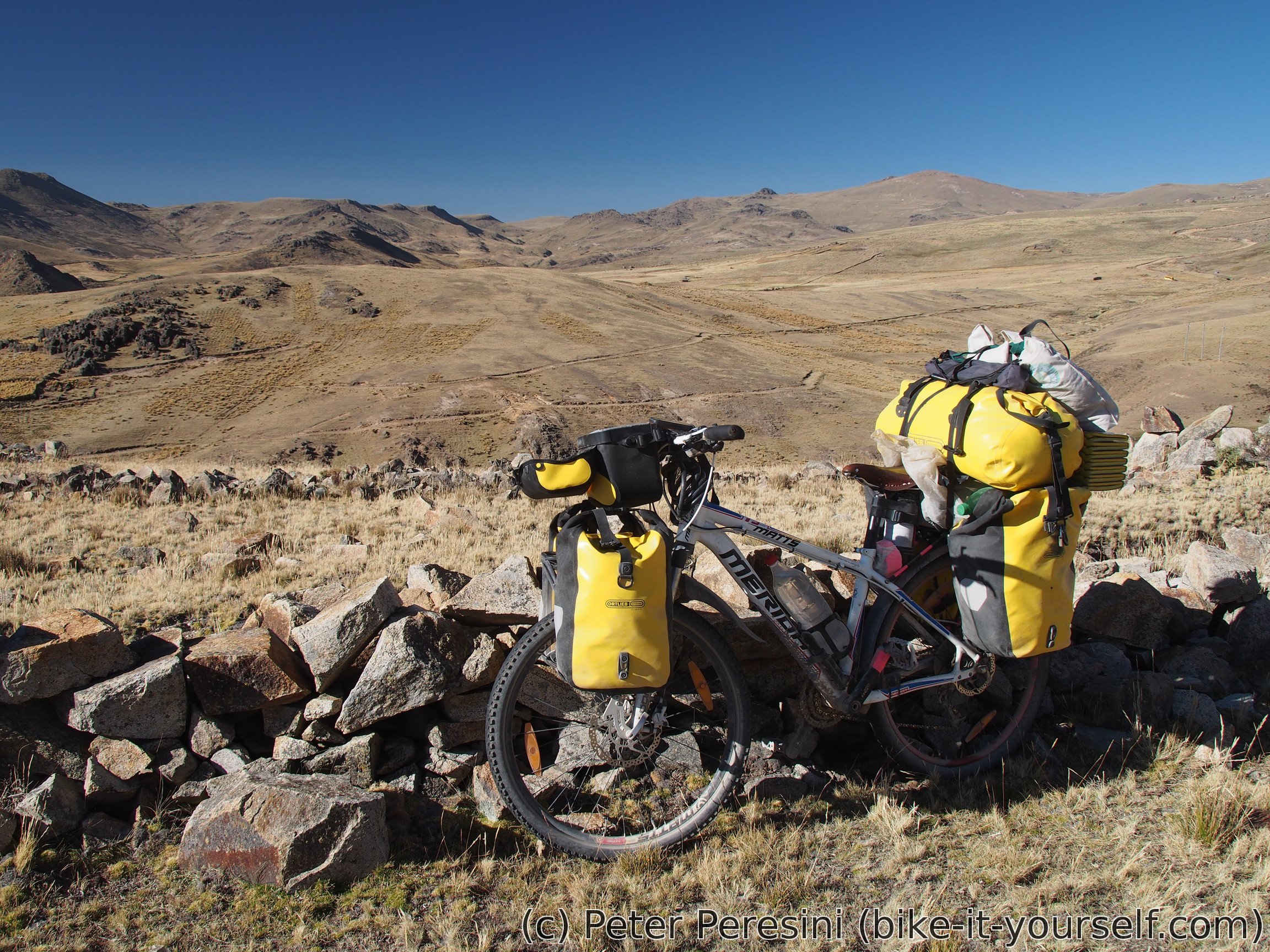
On the downhill ride I leave Mina Azuca even without noticing -- somehow there is no guard, not even a hut which would indicate that there is some checkpoint. So I just swoosh down the road. The scenery slowly changes from orange-tinted mountains into a more traditional view. Similarly, a grass appears and with the grass there are herdsmen huts and herds of alpacas. By the time I finish the downhill and end up in the local minimum it is clearly time to set up the campsite and ponder about how awesome this day was.
July 12
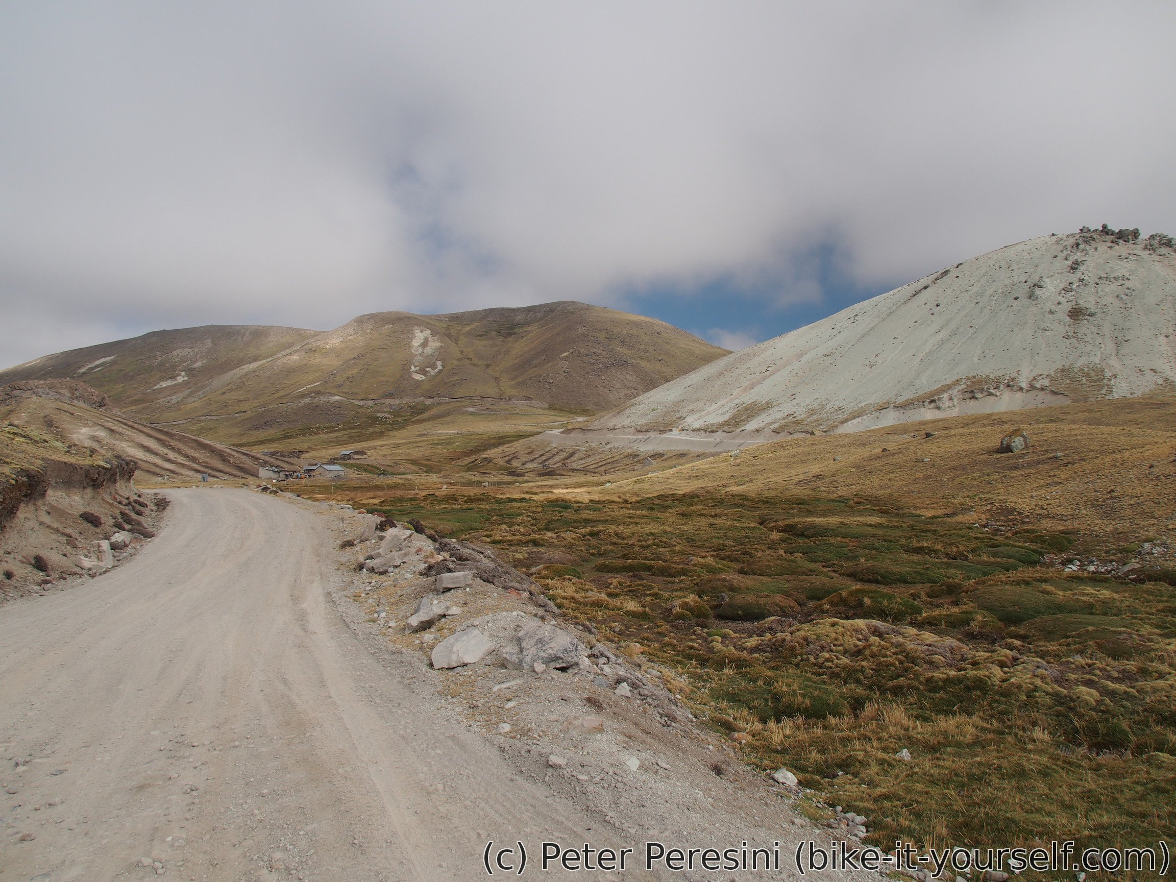
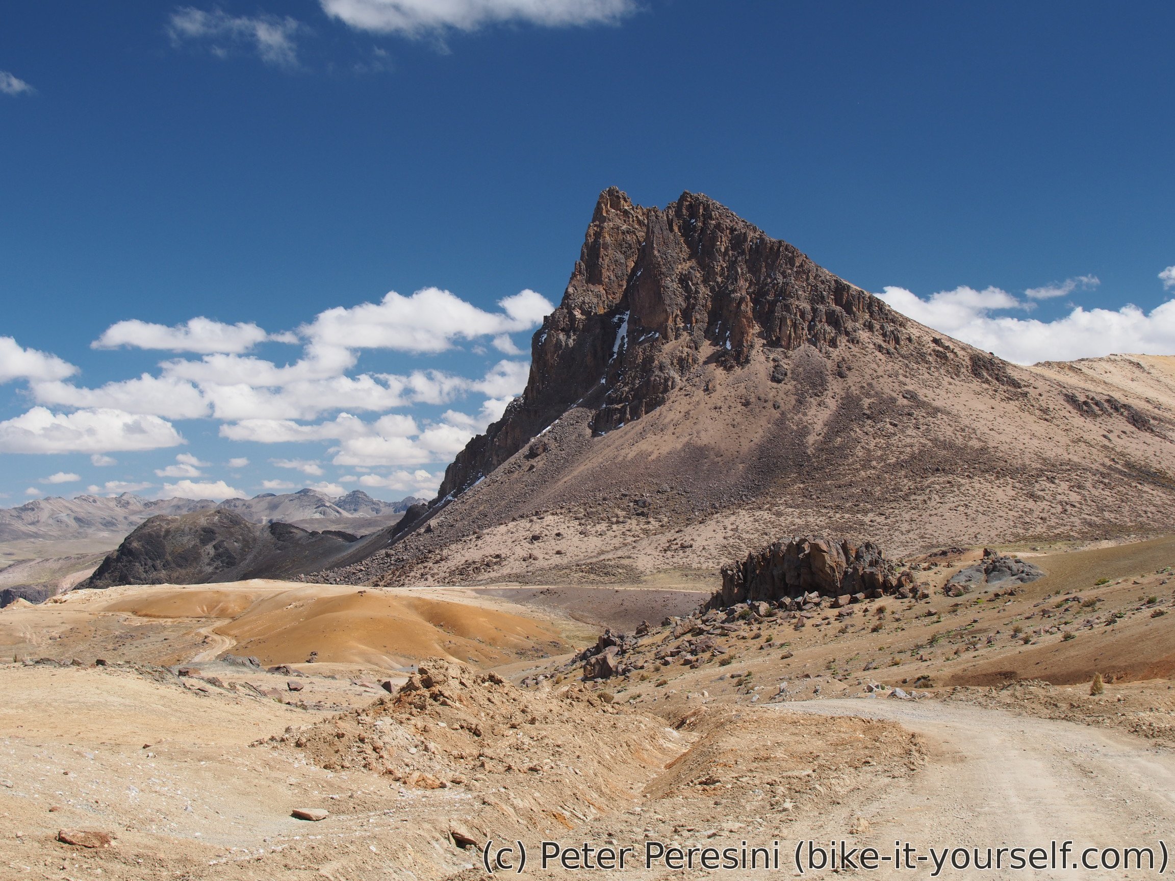
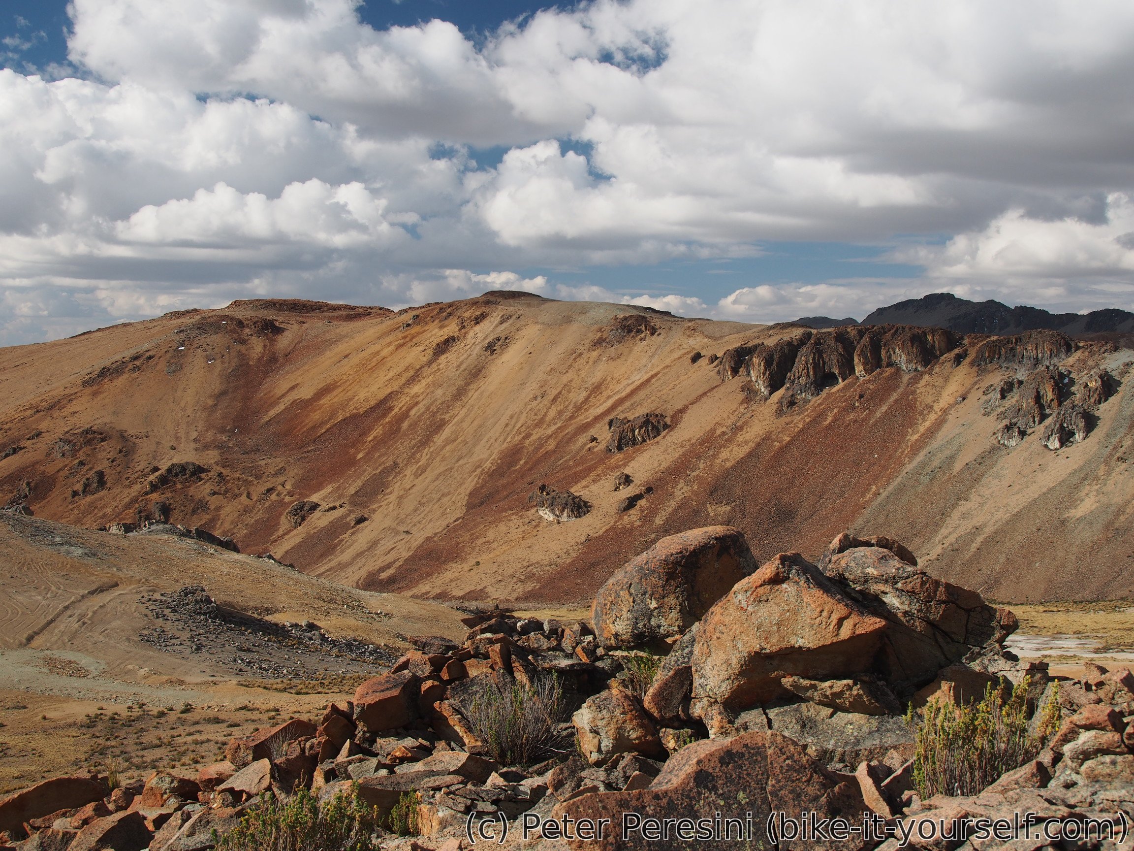
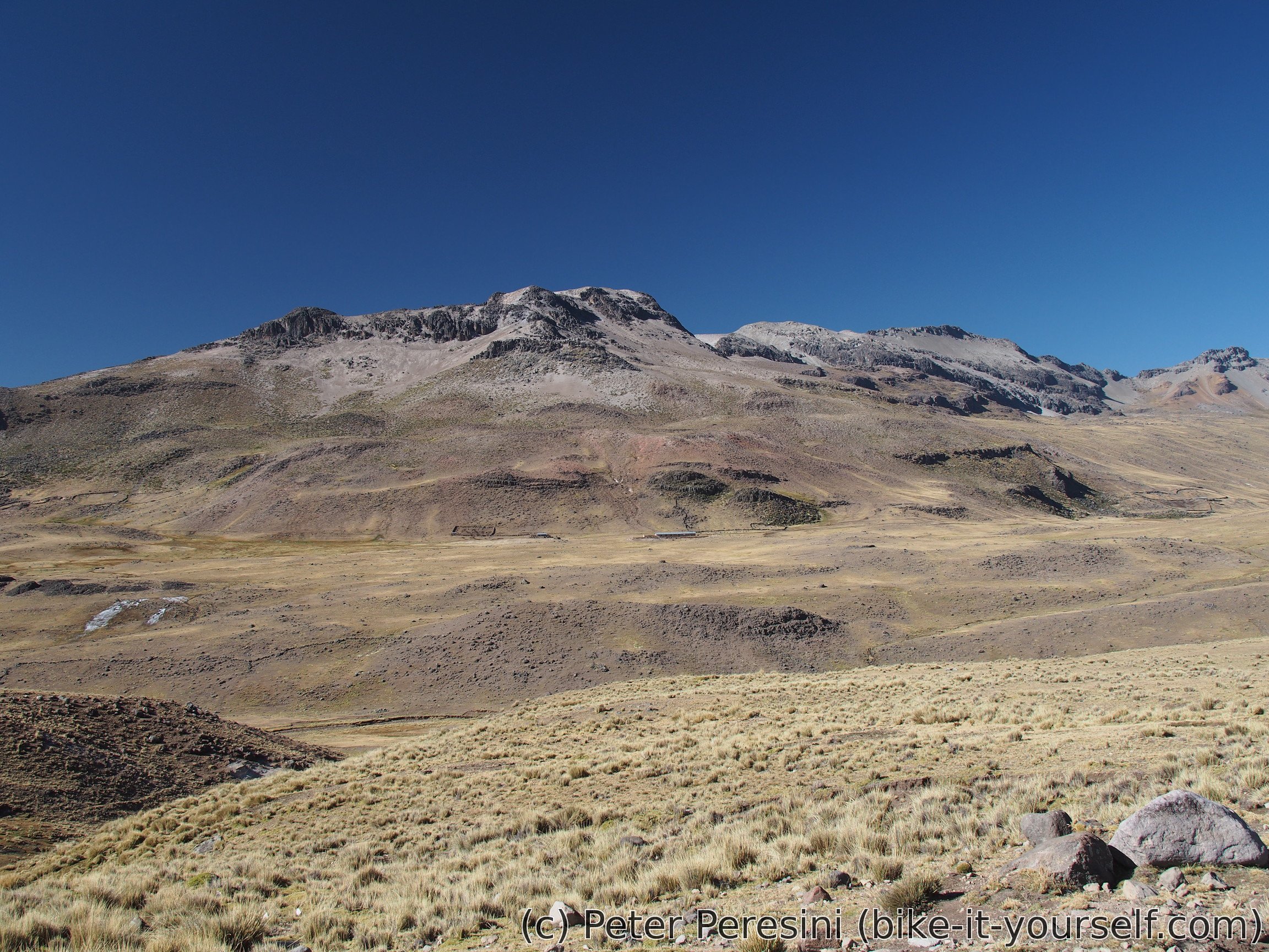
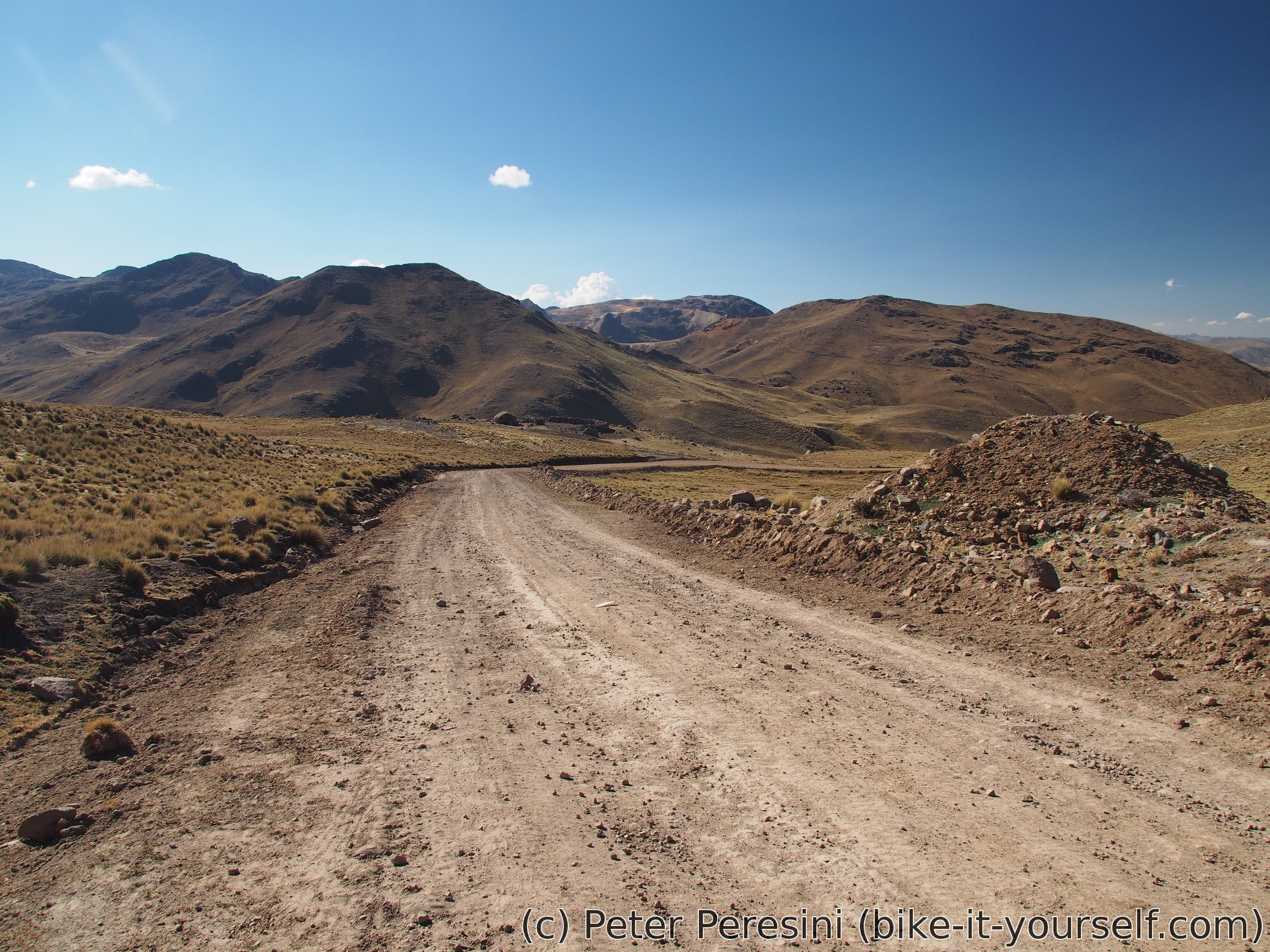
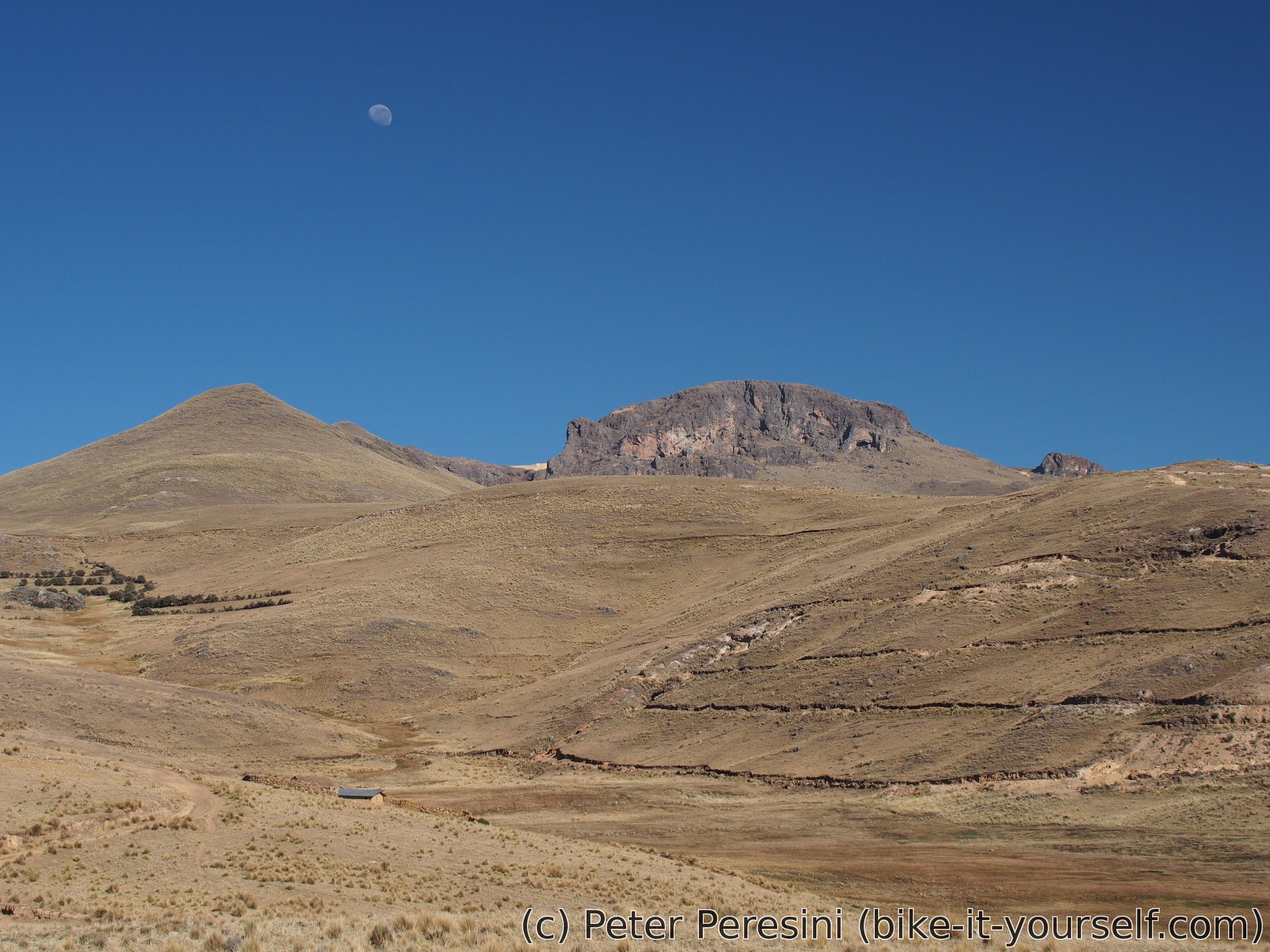
With the relatively warm night (given the elevation) I wake up into a day with a clear sky. The road starts with about 200 meters of ascent to a large plateau. Compared to previous days the plateau itself isn't very interesting -- a bit of grass, rocky sand and in general grey views.
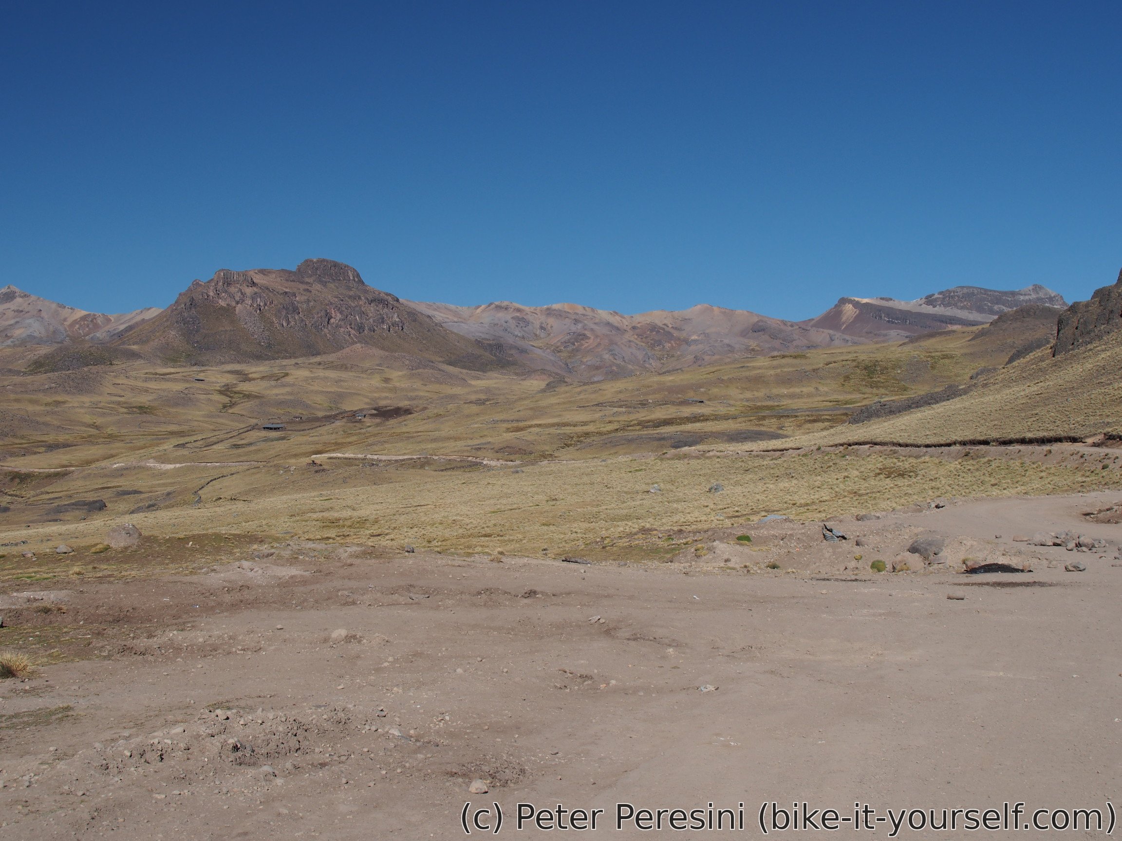
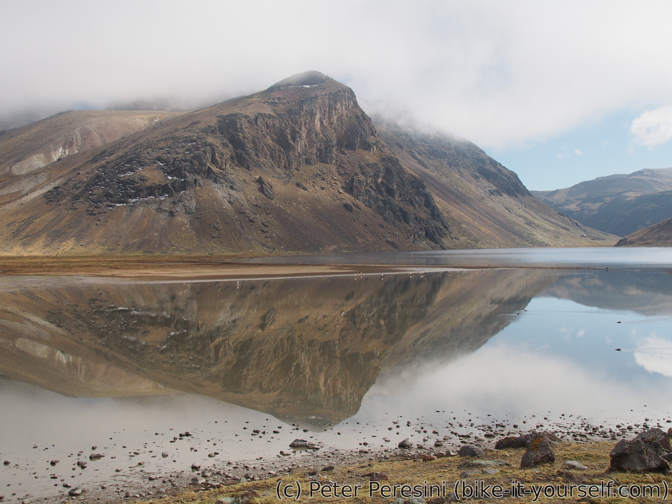
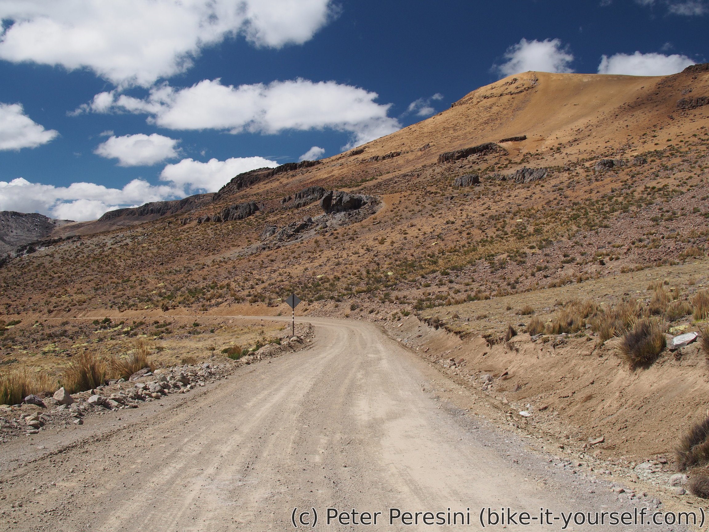
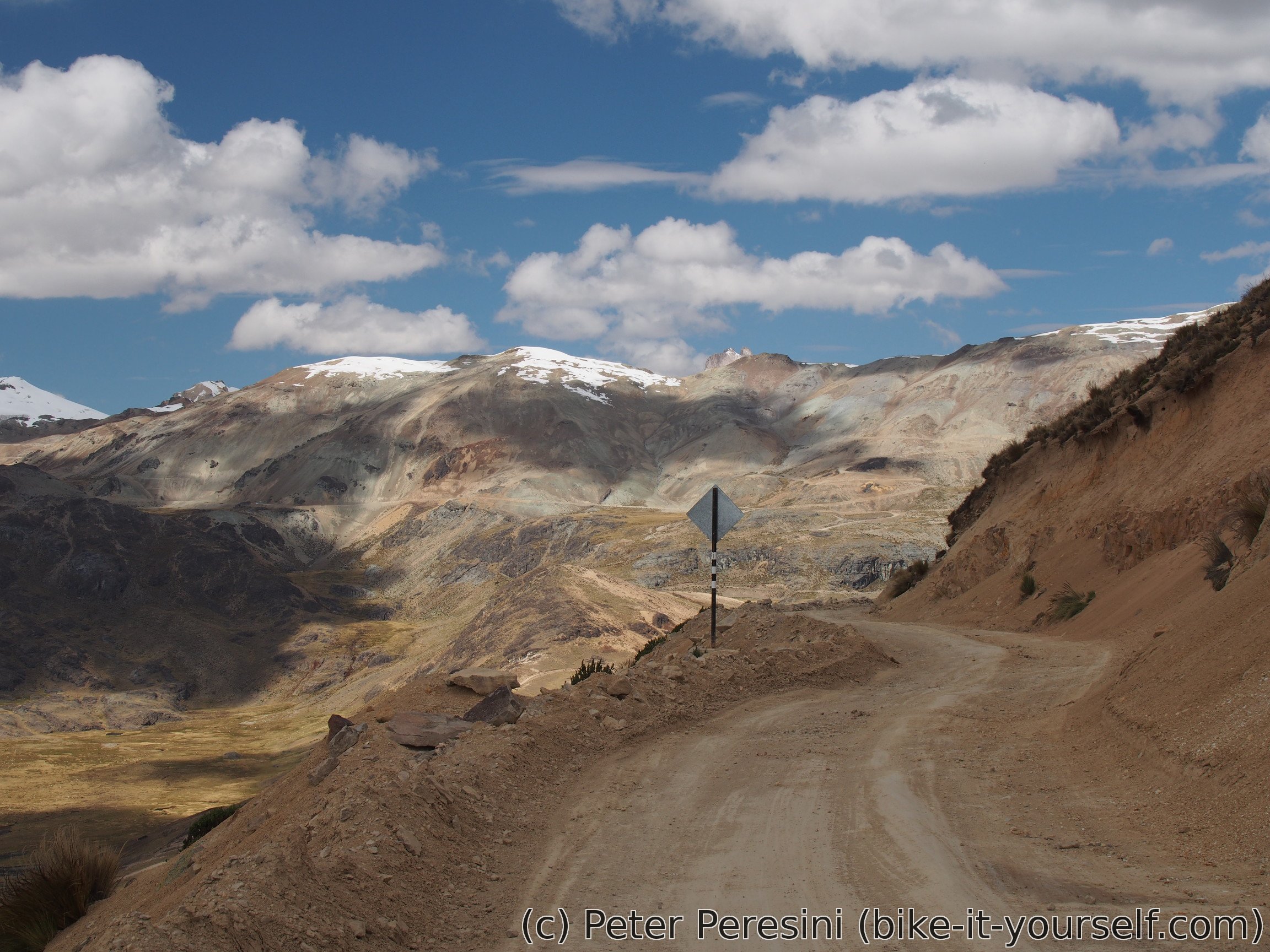
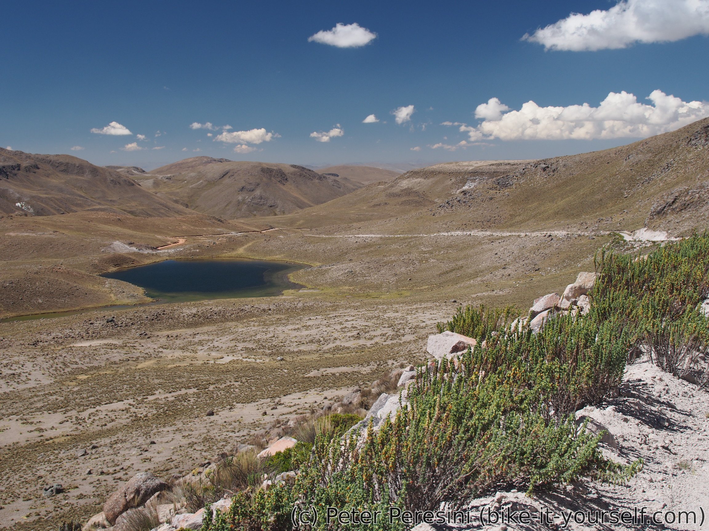
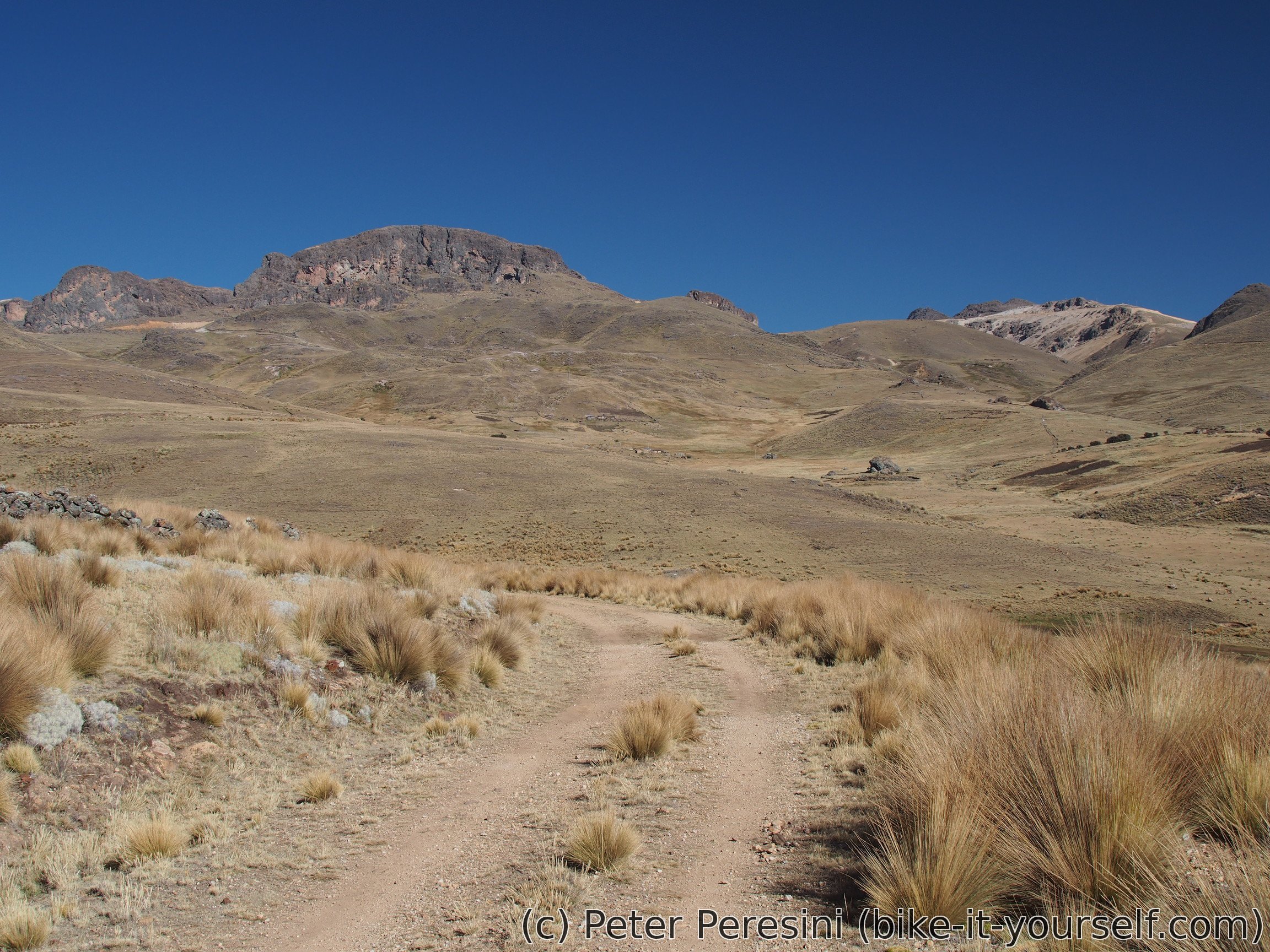
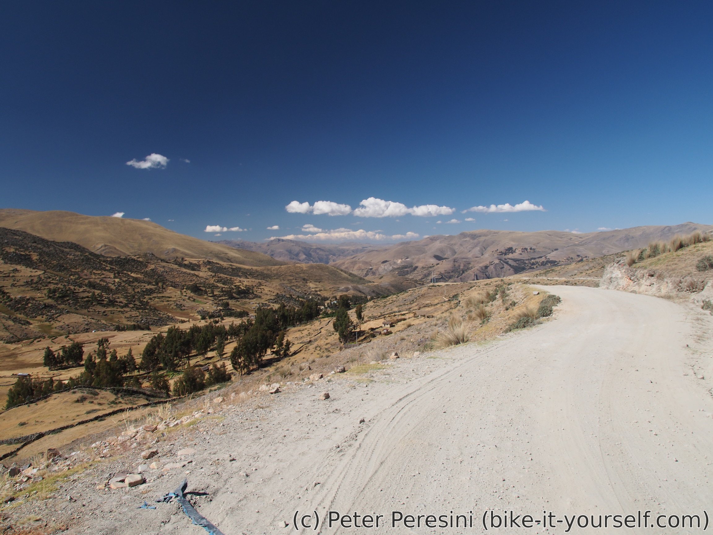
The scenery again gets better when I descend from the plateau along a nice lake into a valley. After a long time this is the first place below 4500m. But not for long. As soon as I get down to 4350m I find myself climbing again. And this time on some real steep gradients. Fortunately, the climb to Abra Anabi is not long and I find myself going down again. On my way I pass ugly Mina Anabi where I get water from the guards. I bit more downhill and I find my camping place around a junction to Quiñota.
July 13
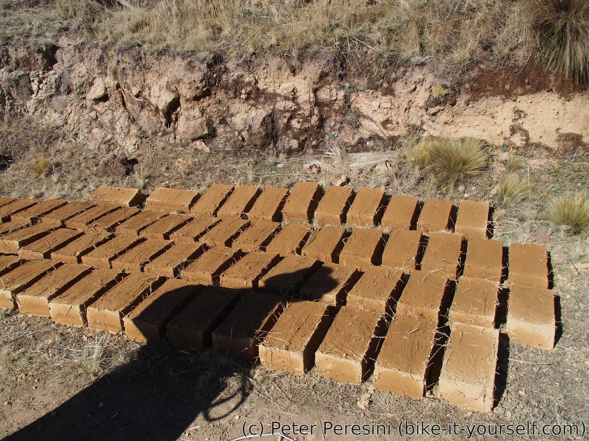
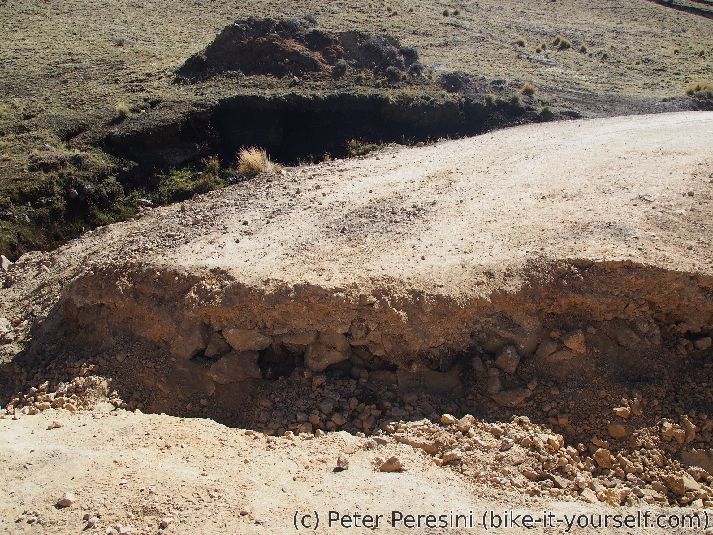
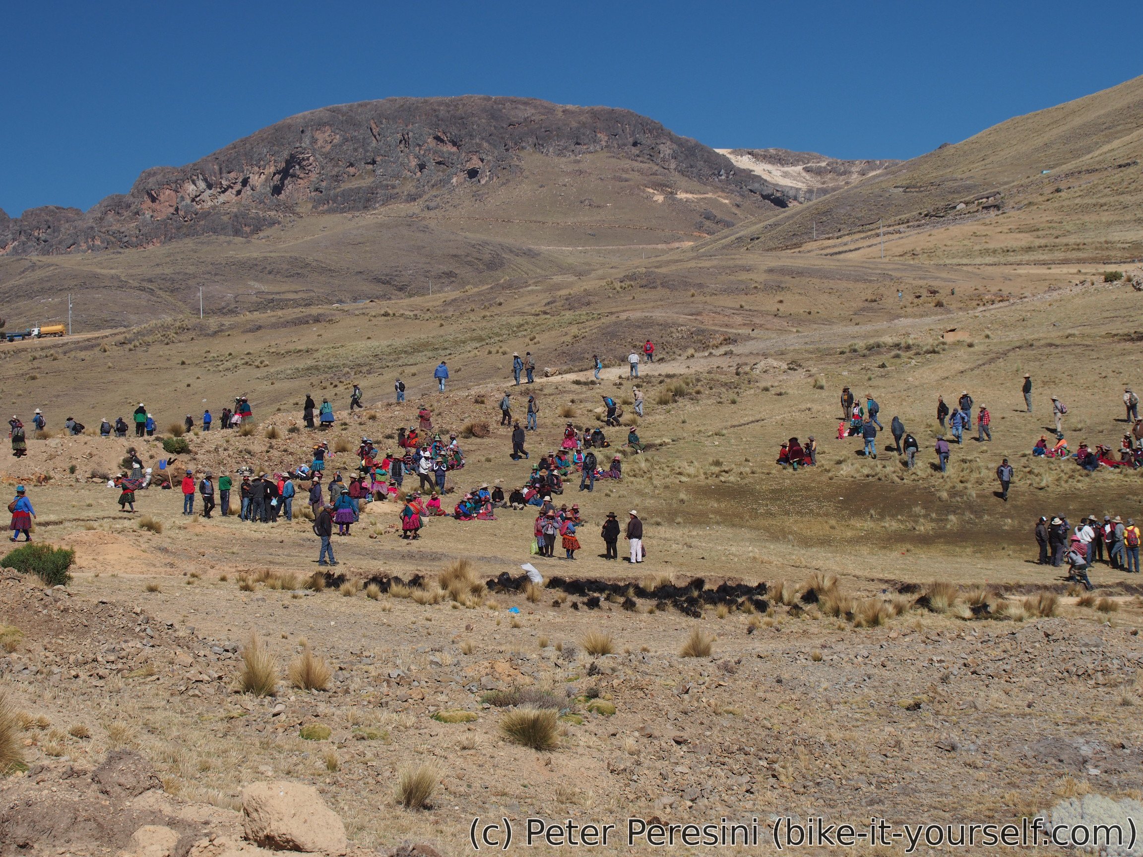
I with about 50 kilometers to go I set off to finish this route today. The road starts with a not-very-used doubletrack around some little settlements. Here I have a chance to see making the house bricks in an action. Or rather inaction -- the bricks are just sitting on the sun until they completely dry. A small climb and bit later I am learning why the road isn't very used -- there is a big hole across it. I wonder if it is on purpose or they don't bother fixing it. A couple hundred meters later I see a big congreration of people. I wonder what is happening around here today.
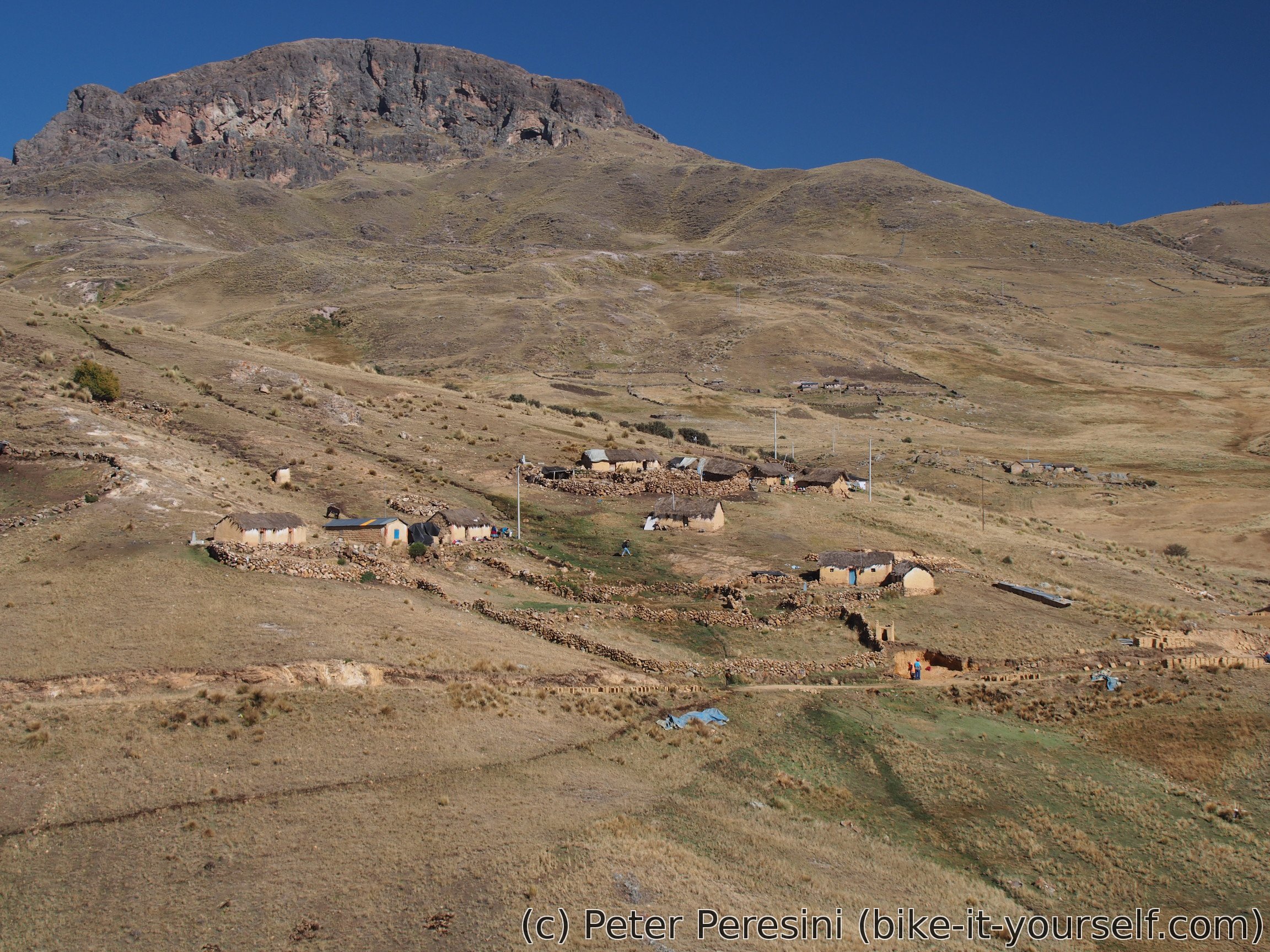
The country is getting progressively more populated. There are small settlements almost everywhere and a few villages as well. The road is also much more undulating than I expected. Sure, these are short climbs but they are rather steep. Overall though, I am making a good progress in descending.
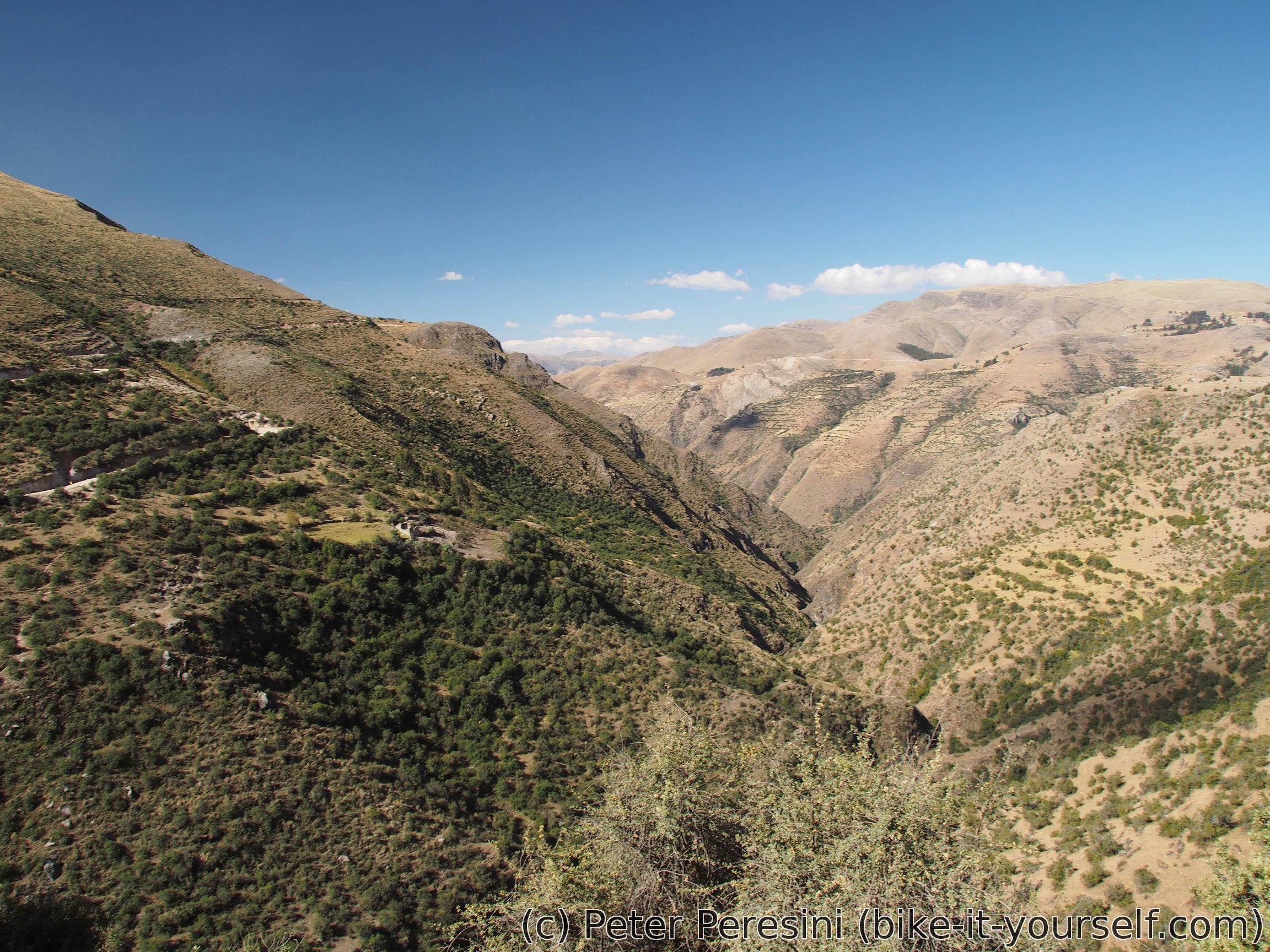
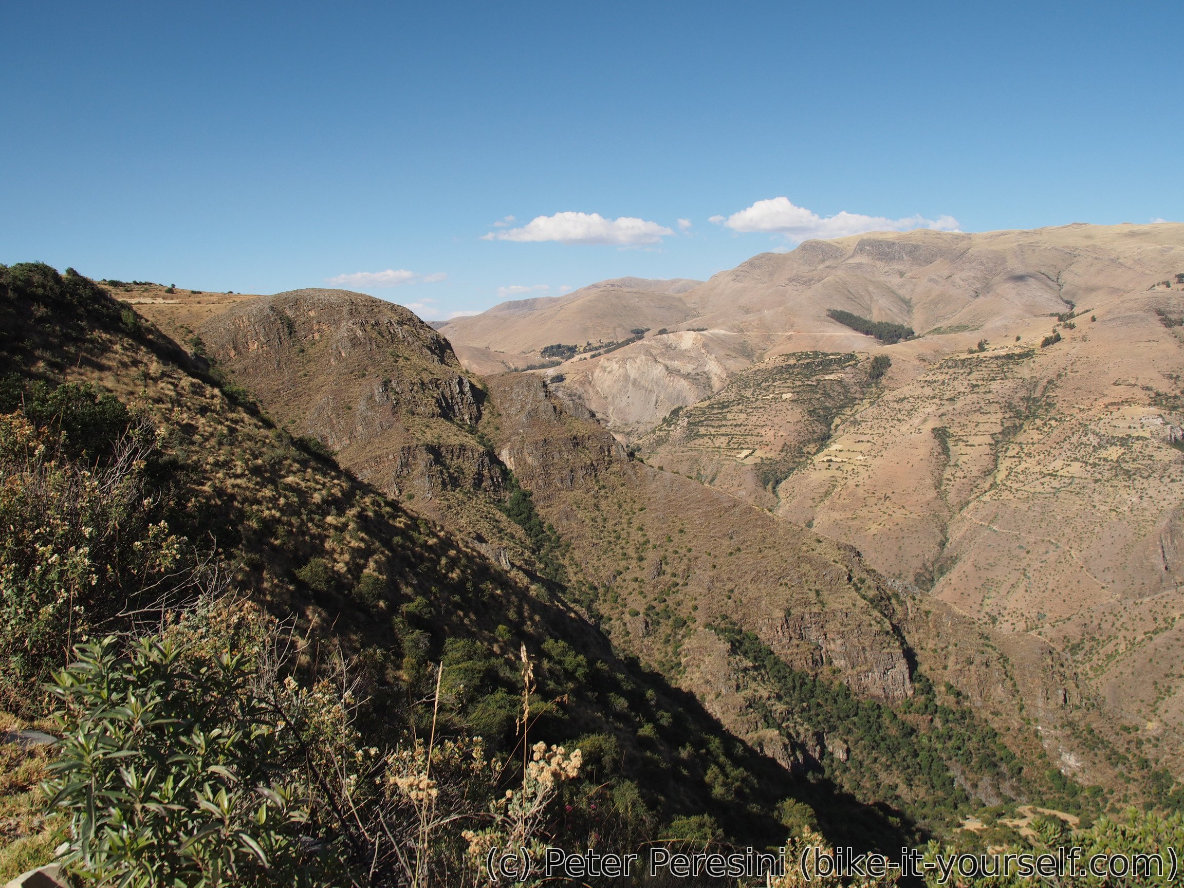
Afternoon brings in another surprise. I mean, this should have been a country of hills and valleys. Where the heck this deep canyon get from? But then, no complaints because it makes for some pretty good views. Or maybe a bit of complaints because it includes another steep-ish climb. But when it is done I can enjoy the steep downhill to Haquira where I find a hospedaje and get a nice hot shower after a long time.
Route
Download simplified GPX of a route here
Stats by activity:
| Activity | Distance (km) |
Ascent (km) |
Pedal rotations (thousands) |
|---|---|---|---|
| bike | 128 | 2.0 | 34 |
| Date | Distance (km) |
Ascent (km) |
Avg. temp (moving, C) |
|---|---|---|---|
| July 11, 2017 | 38.0 | 0.75 | 9.4 |
| July 12, 2017 | 42.1 | 0.60 | 14.7 |
| July 13, 2017 | 47.7 | 0.70 | 17.9 |
Elevation data
The next table is only for cycling activity.
| Grade(%) | Ascent (km) | Descent(km) |
|---|---|---|
| < 2 | 28.8 | |
| < 4 | 5.7 | 9.3 |
| < 6 | 6.3 | 9.1 |
| < 8 | 5.4 | 5.5 |
| < 10 | 2.7 | 4.0 |
| ≥ 10 | 3.3 | 7.3 |
<a href=http://vsviagrav.com/>taking viagra if you don't need it
<a href=http://vsviagrav.com>is viagra covered by insurance companies
<a href=https://ponlinecialisk.com>buy cialis
<a href=http://priligyset.com/>viagra with dapoxetine reviews</a>
<a href=https://ponlinecialisk.com/>cialis 5mg</a>
<a href=http://cialiswwshop.com/>cheap generic cialis</a>
Hi there, just wanted to say, I loved this article. It was funny. Keep on posting!
viagra near me <a href="https://viagrahom.com/">viagra cvs</a> viagra cialis
I am actually thankful to the owner of this site who has shared this impressive piece of writing at at this time.
You made some good points there. I checked on the web to find out more about the issue and found most people will go along with your views on this website.