
Acobambilla to Laraos (PGD part 2)
 Share:


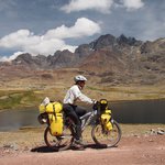
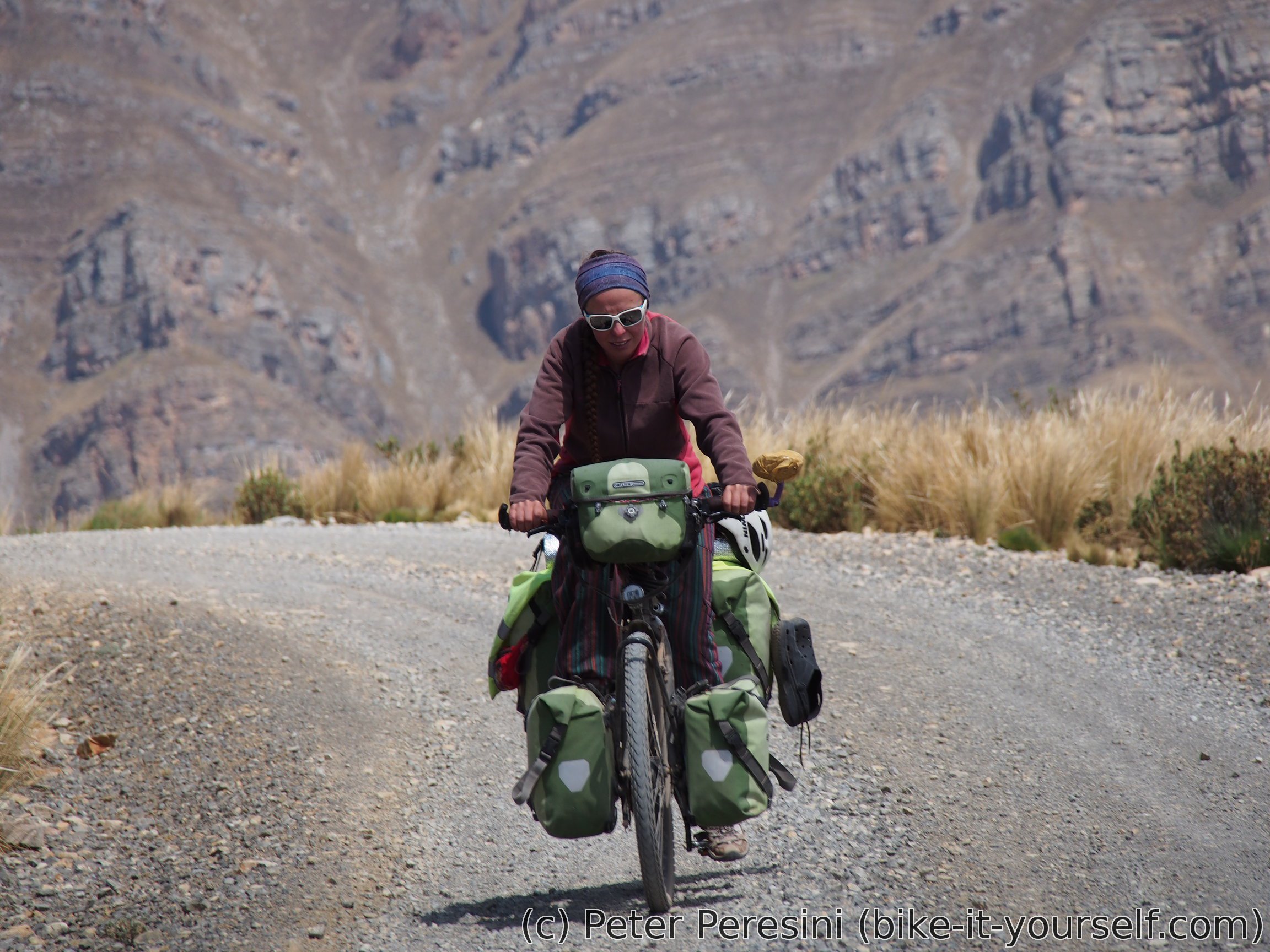
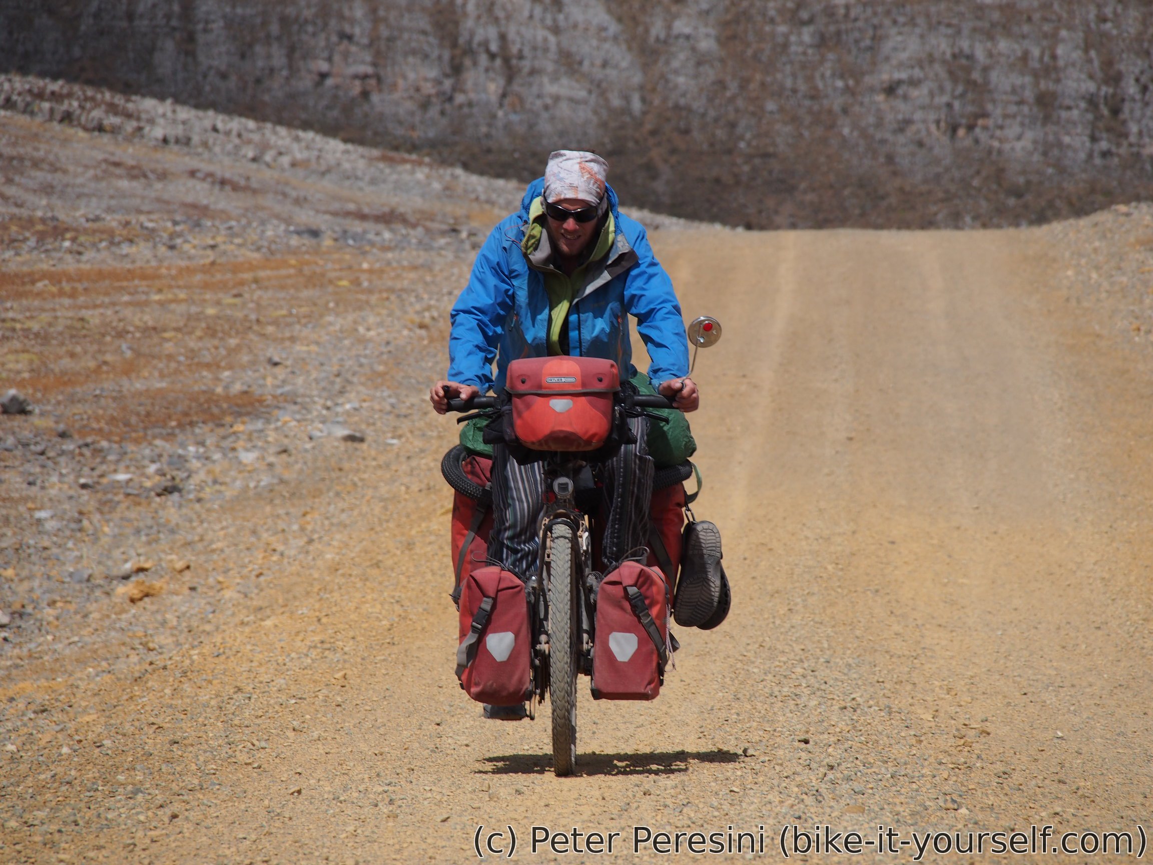
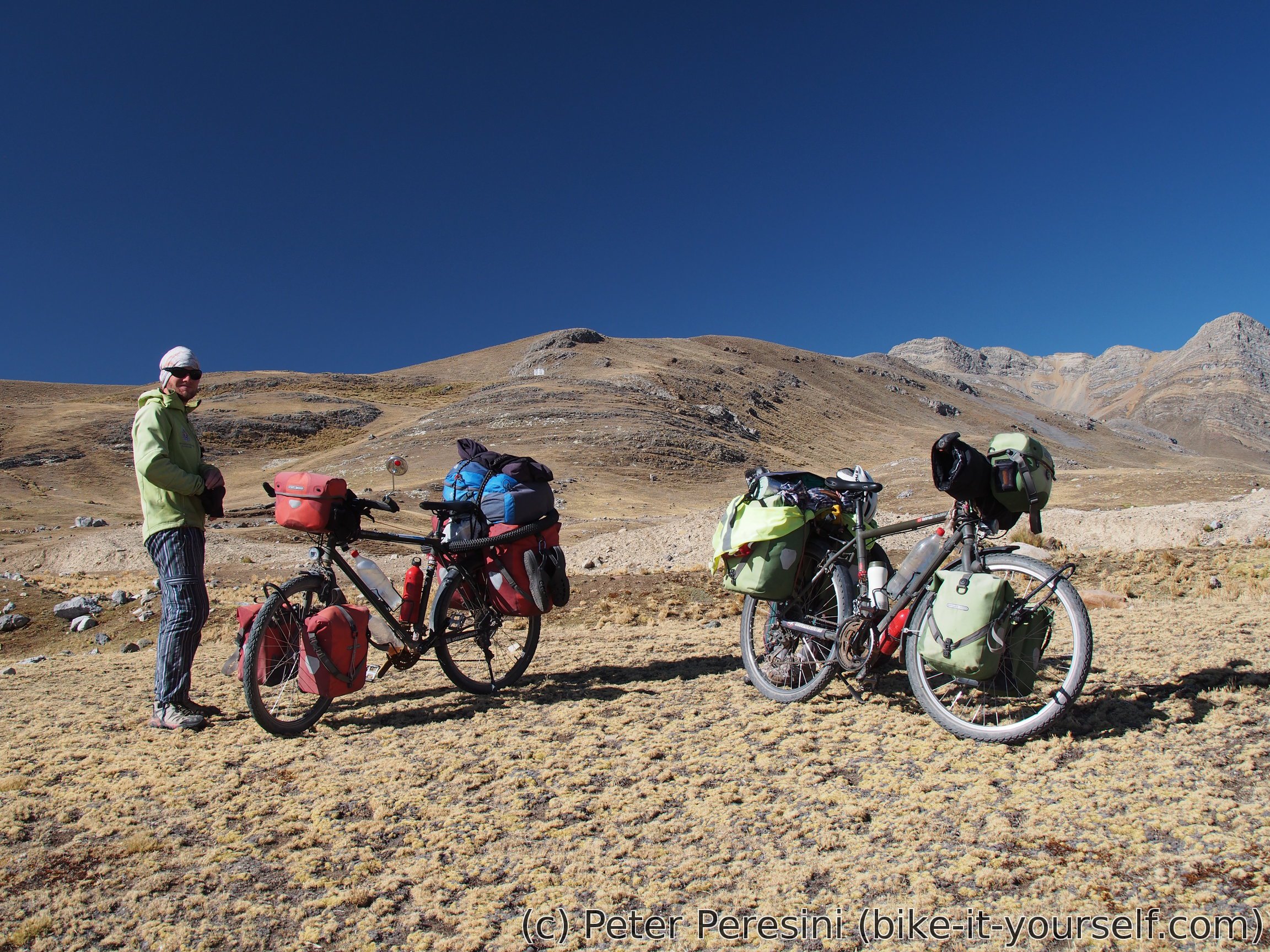
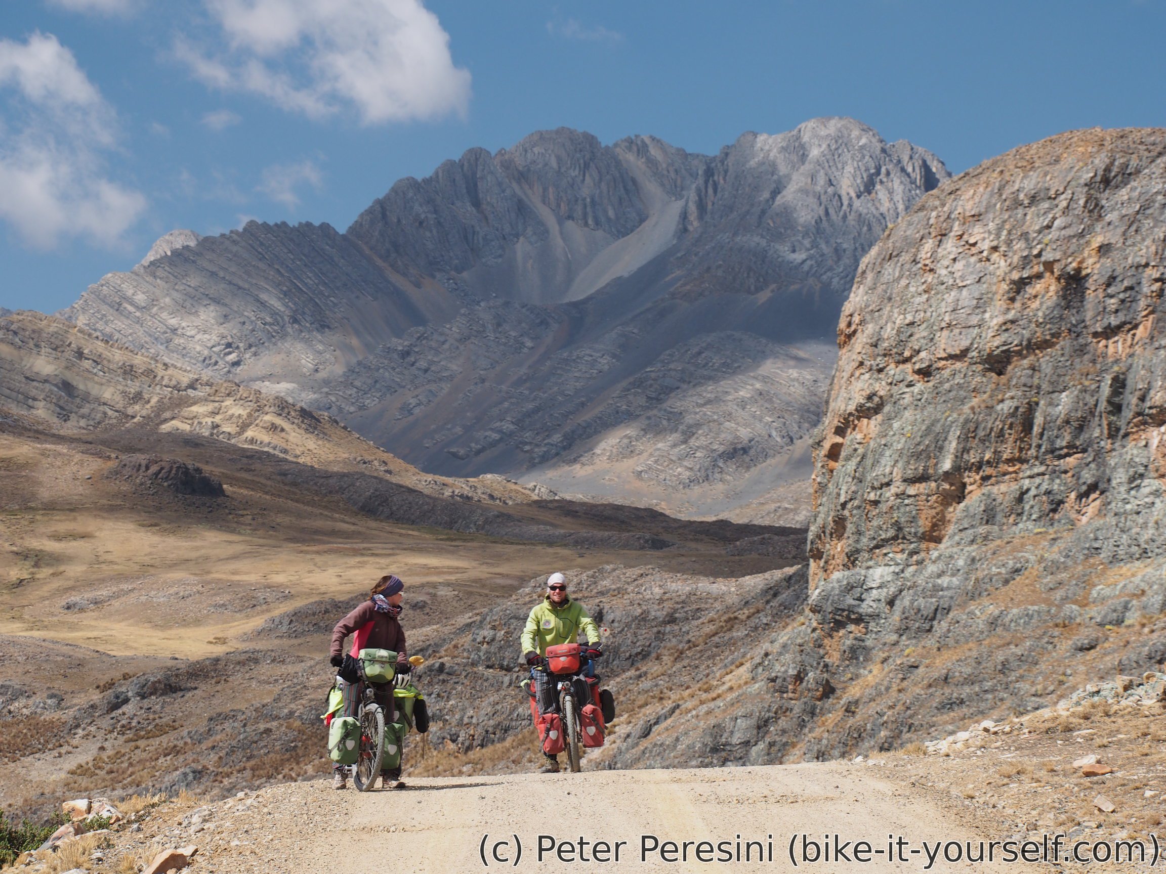
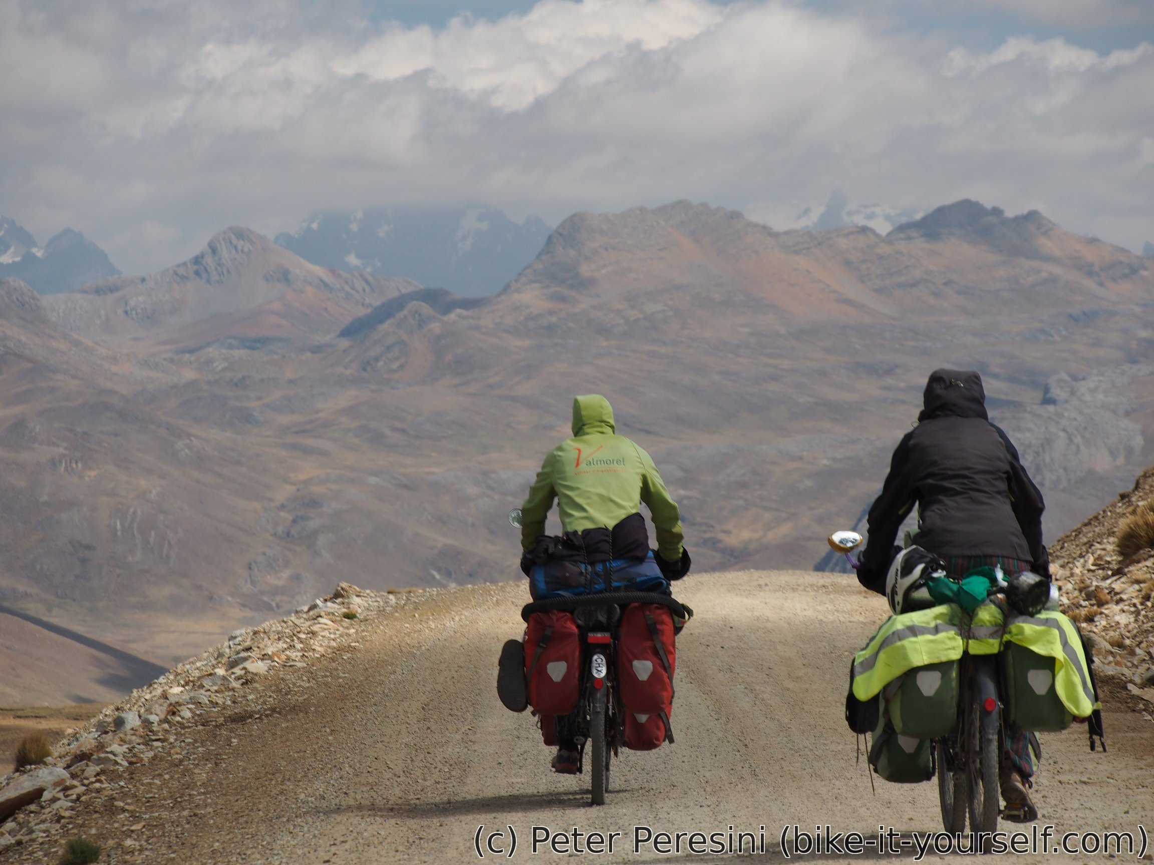
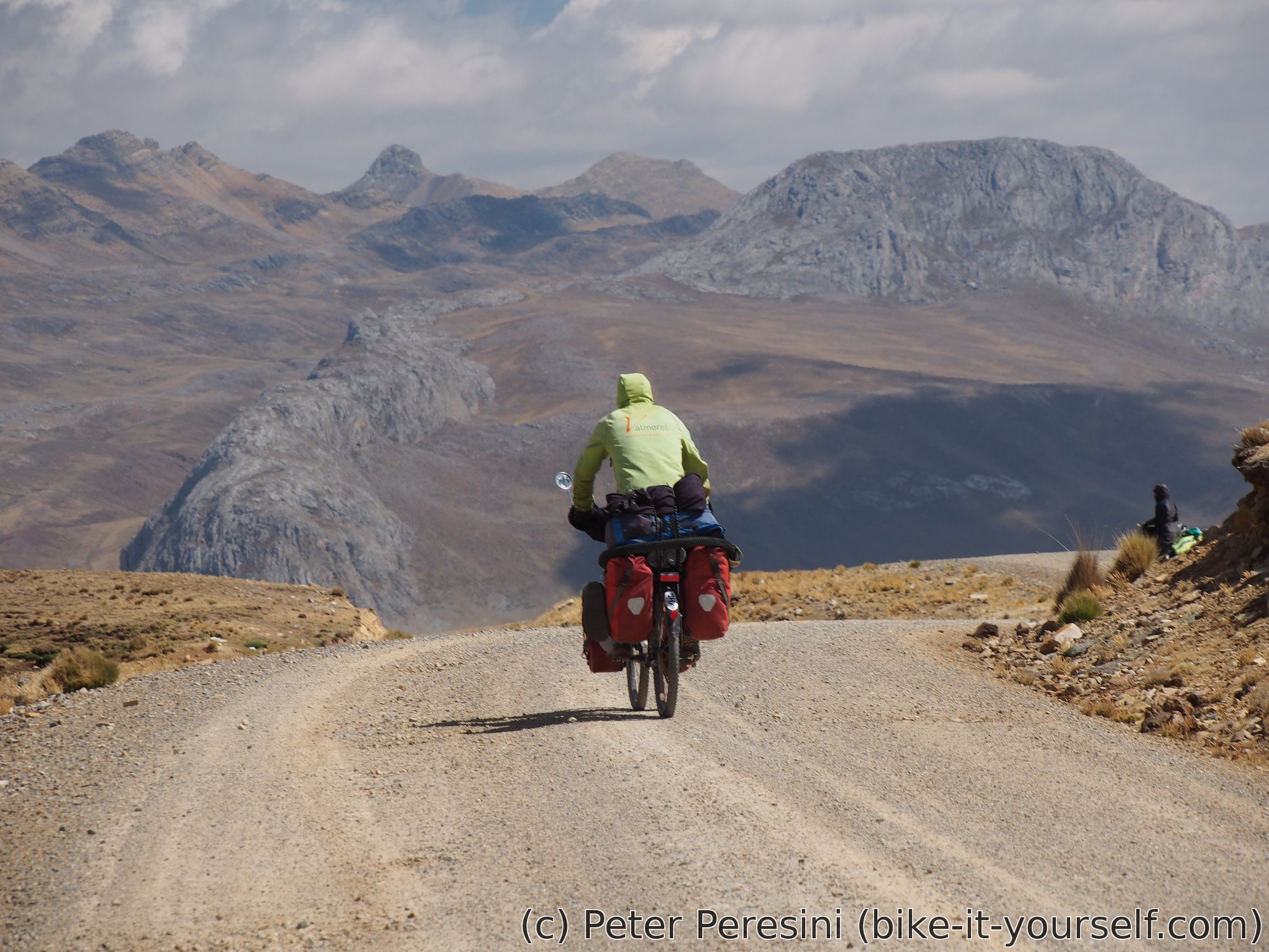
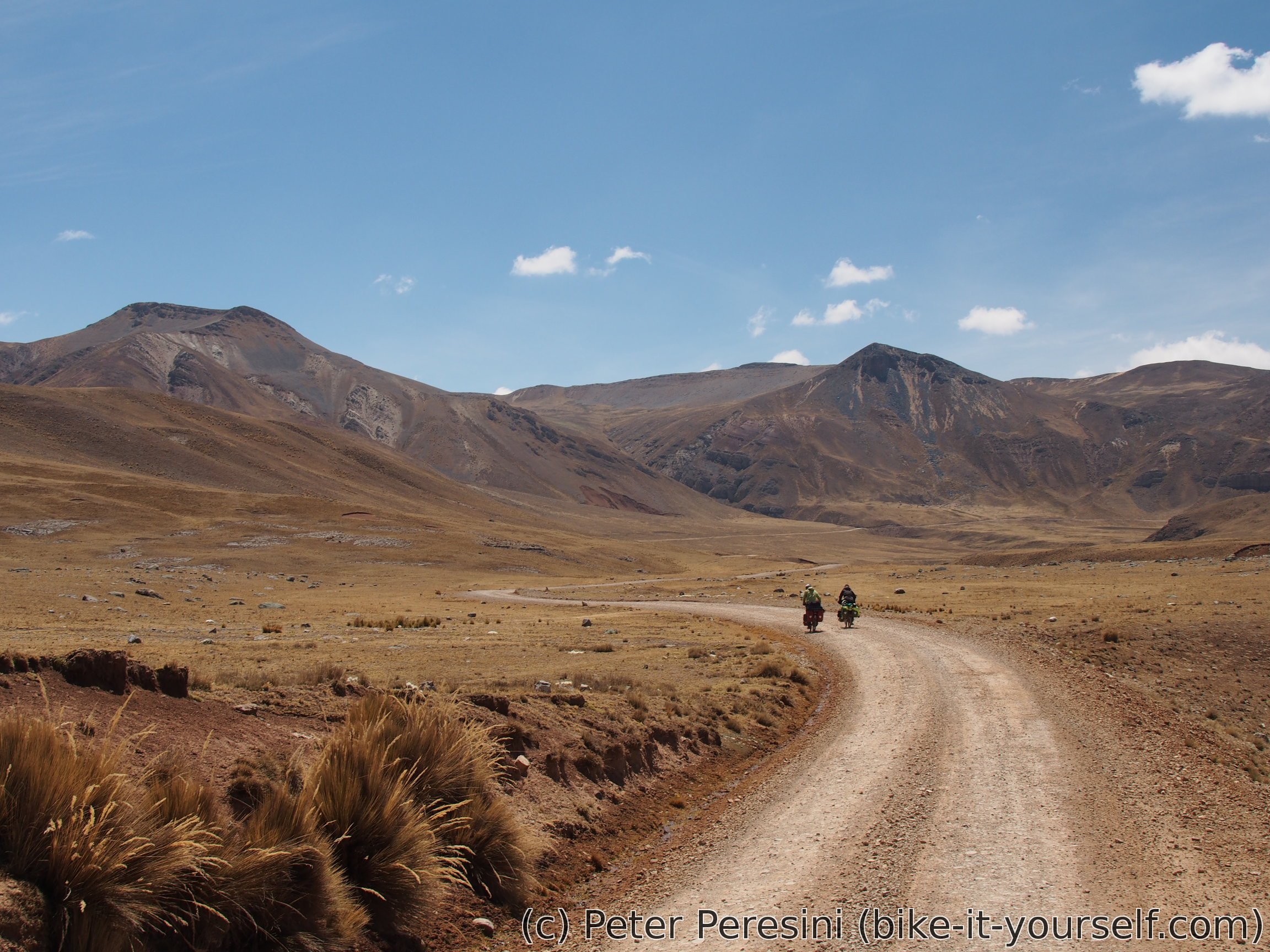
For this part of the Peru Great Divide route I join forces with Jeremy and Madeleine -- two French cyclists on a trip around the world. The scenery over the next three days is simply amazing. And this is good because otherwise I don't know what would keep us going further -- the road is riddled with long steep climbs, miserable rocky descents (and sometimes ascents as well), general high-altitude profile and cold wind. Despite of all the hardships I really enjoyed this part.
August 24
In the morning we start later than planned. Part of the reason is that the village has a water cut. I am therefore getting into a pickup full of locals and we go a few minutes to a place where there is a spring. As the place doesn't bring me much trust I then follow with water filtering.
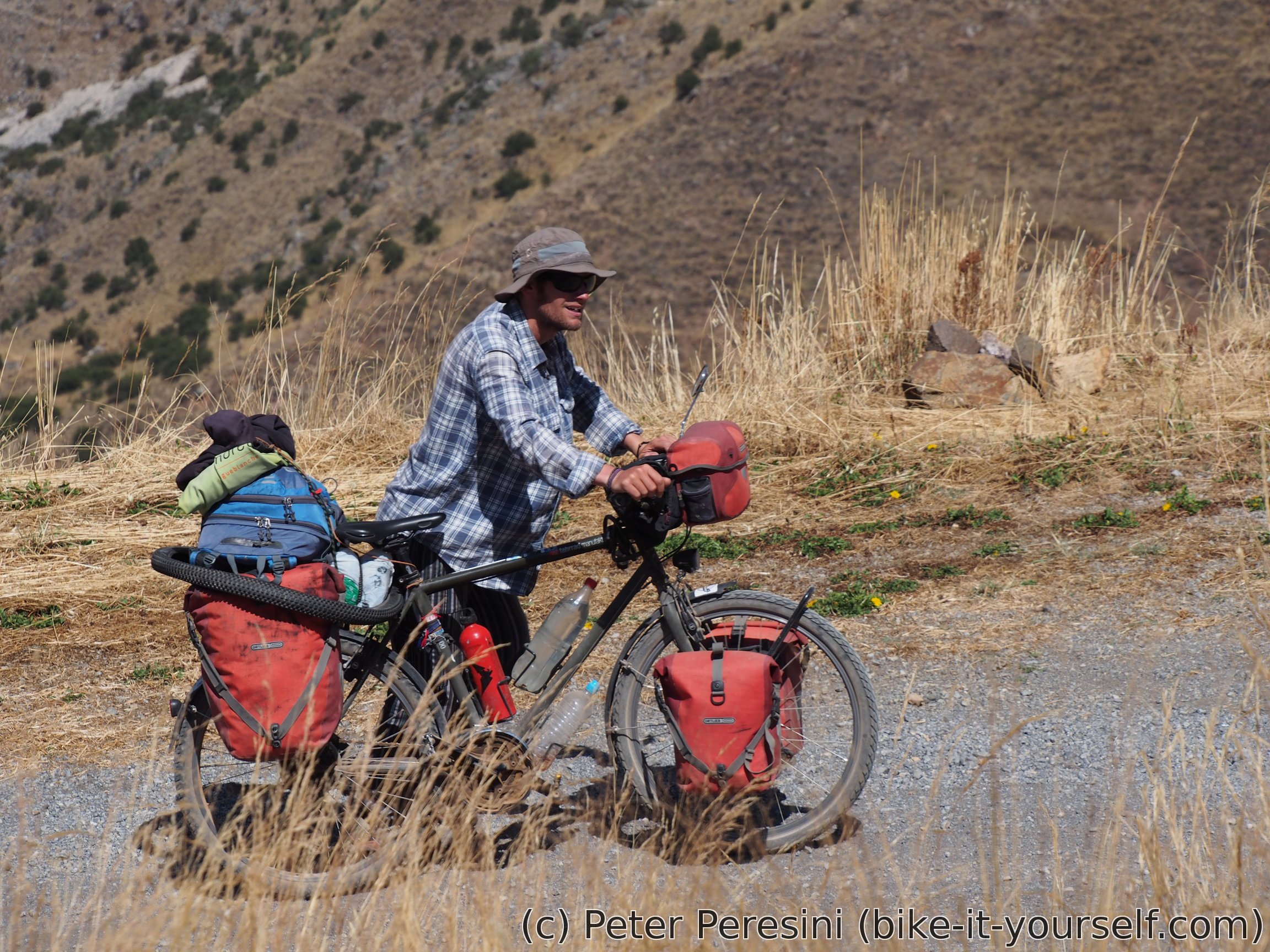
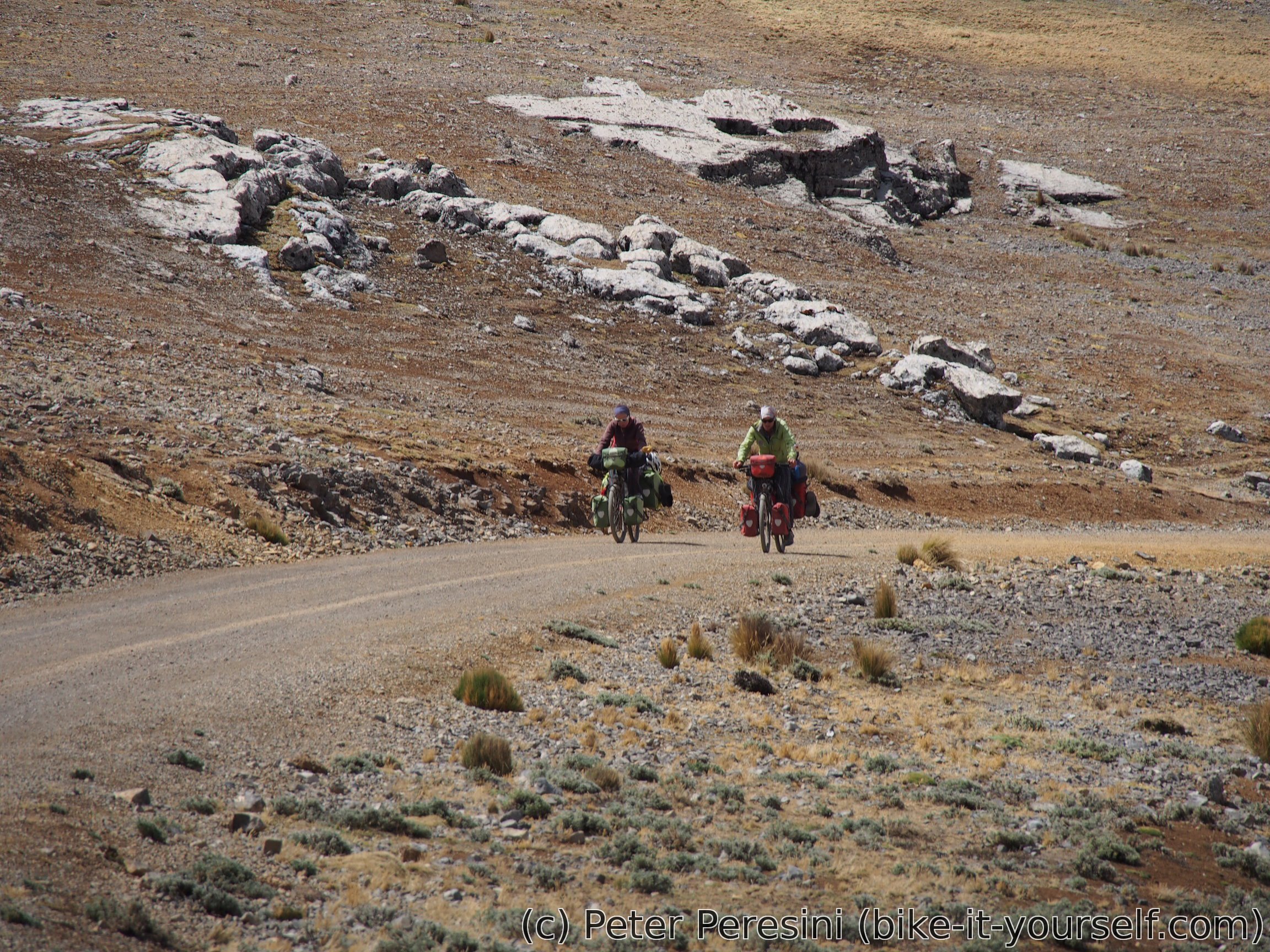
The road from Acobambilla immediatelly starts climbing. And what a climb it is -- while the surface is quite good the gradients aren't. Most of the 700m of climbing is averaging around 10%. Here I realize what a godsend is my 20x36 transmission ratio -- Jeremy and Madeleine have only 32 cogs at the back and a bit bigger front. This makes a huge difference between rideability -- while I am definitely carrying more weight I manage to sit in my saddle virtually all the time. On the other hand Jeremy and Madeleine are facing some serious pushing action. And while I am a bit faster in the saddle, I definitely enjoy the waiting as I can catch my breath.


As the midday approaches I set off with a goal of making enough headroom to have a lunch. I take some time with it so it is surprising that they did not catch up with me. After more waiting I finally spot them -- it turns that they thought I just decided to split and push on so they had their lunch as well.
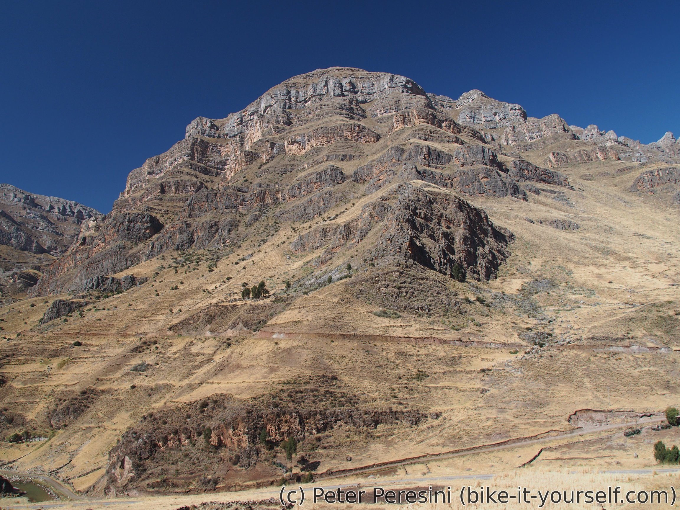
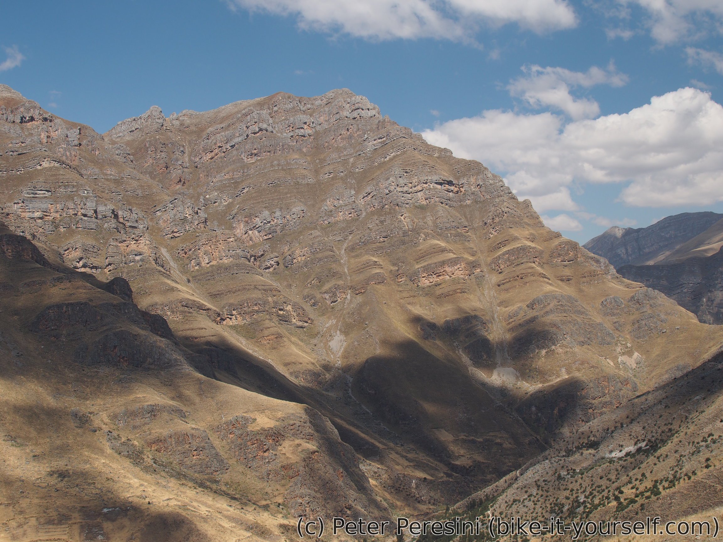
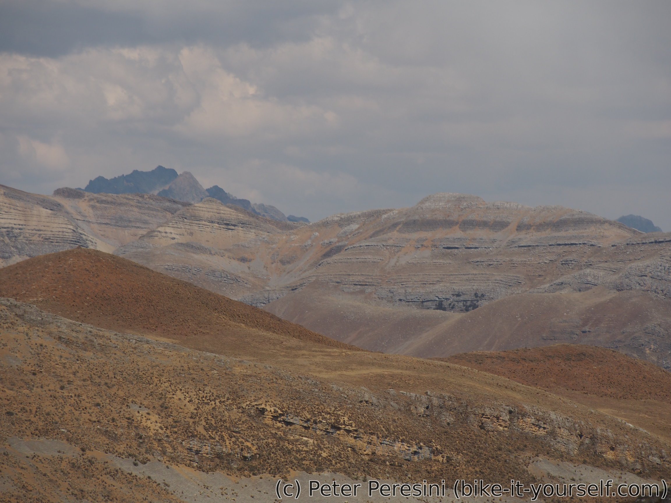
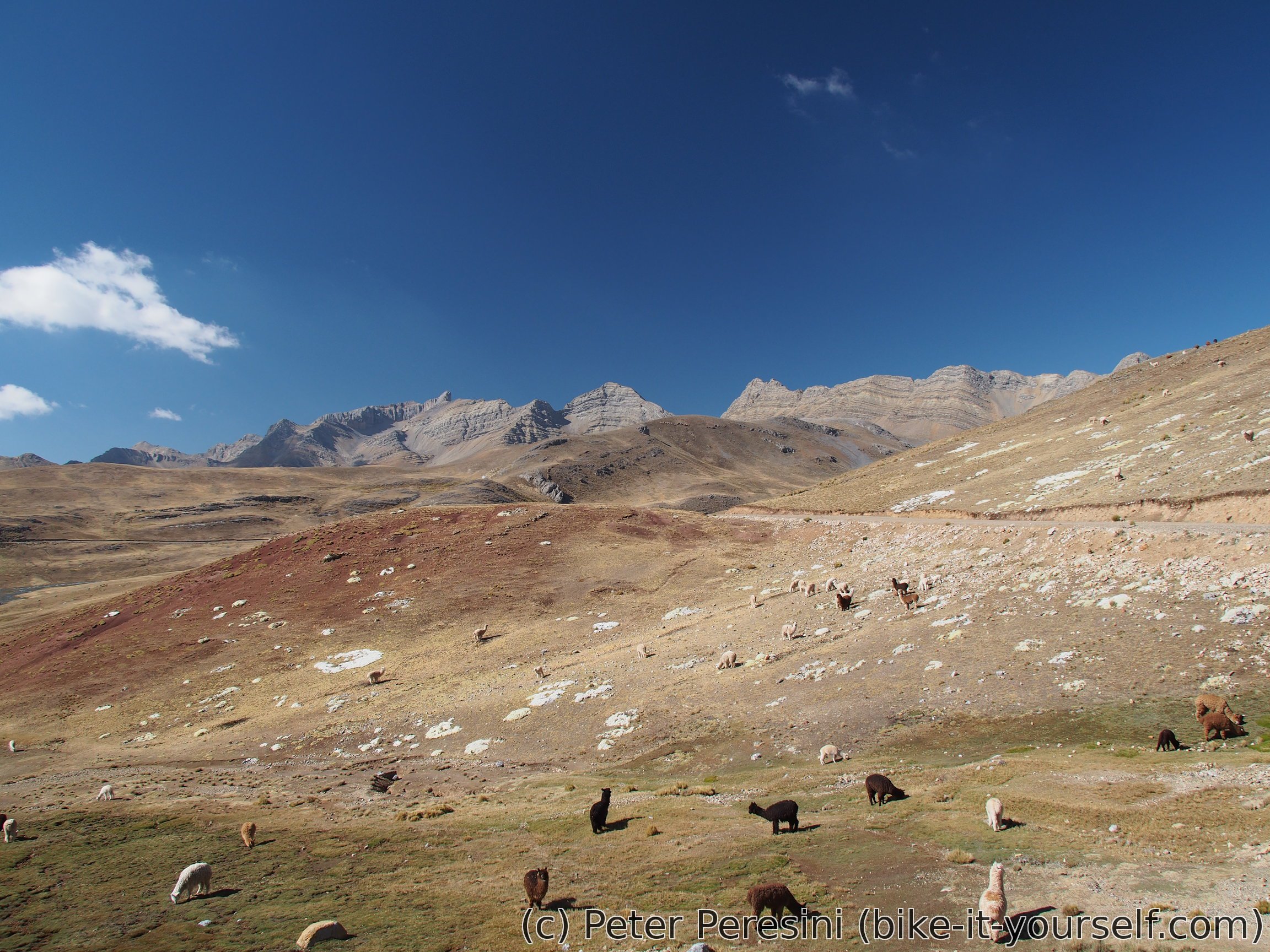
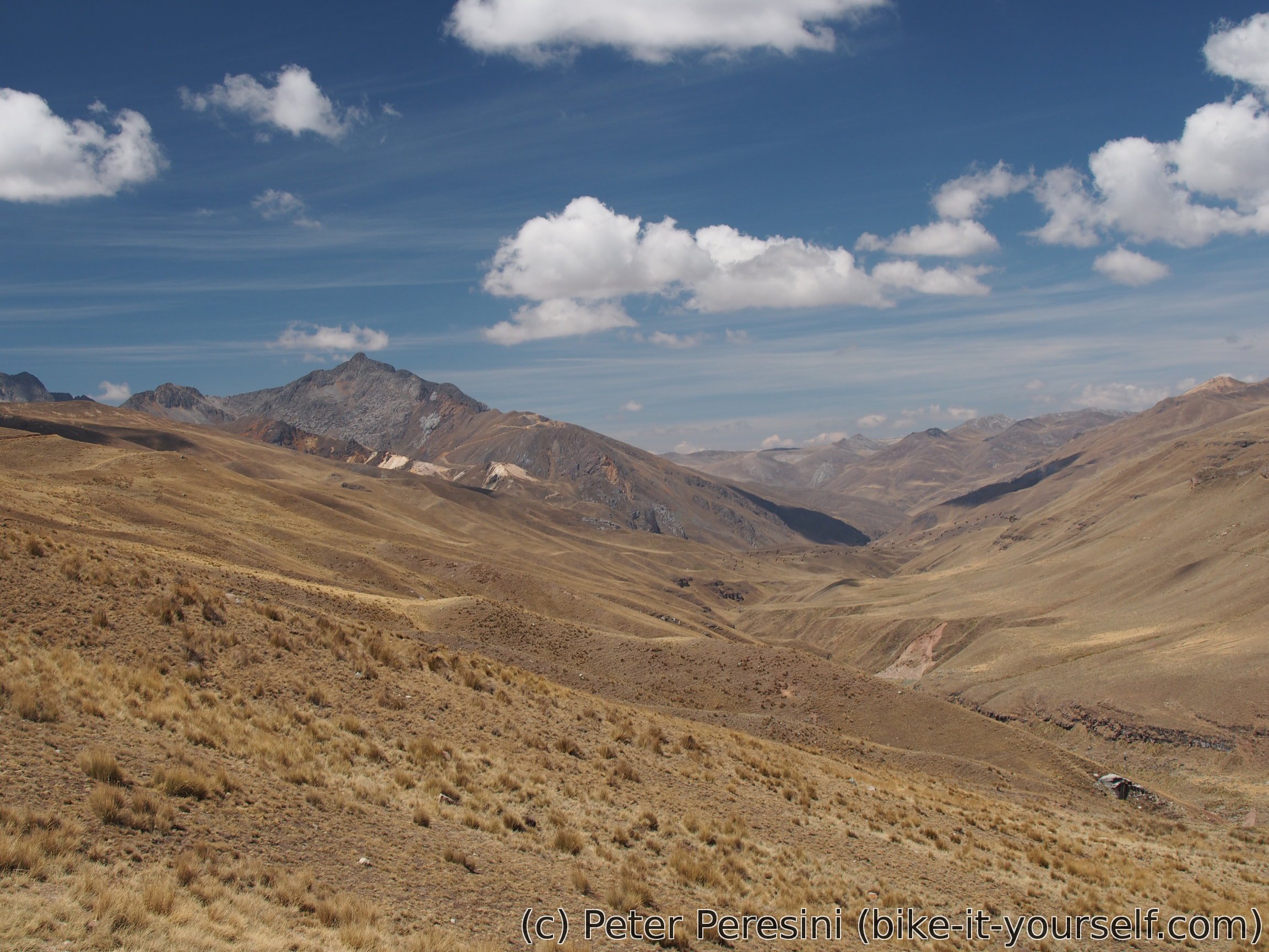
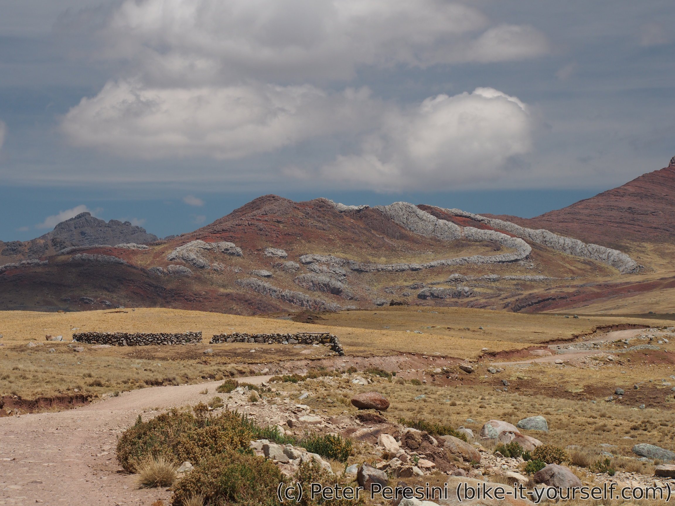
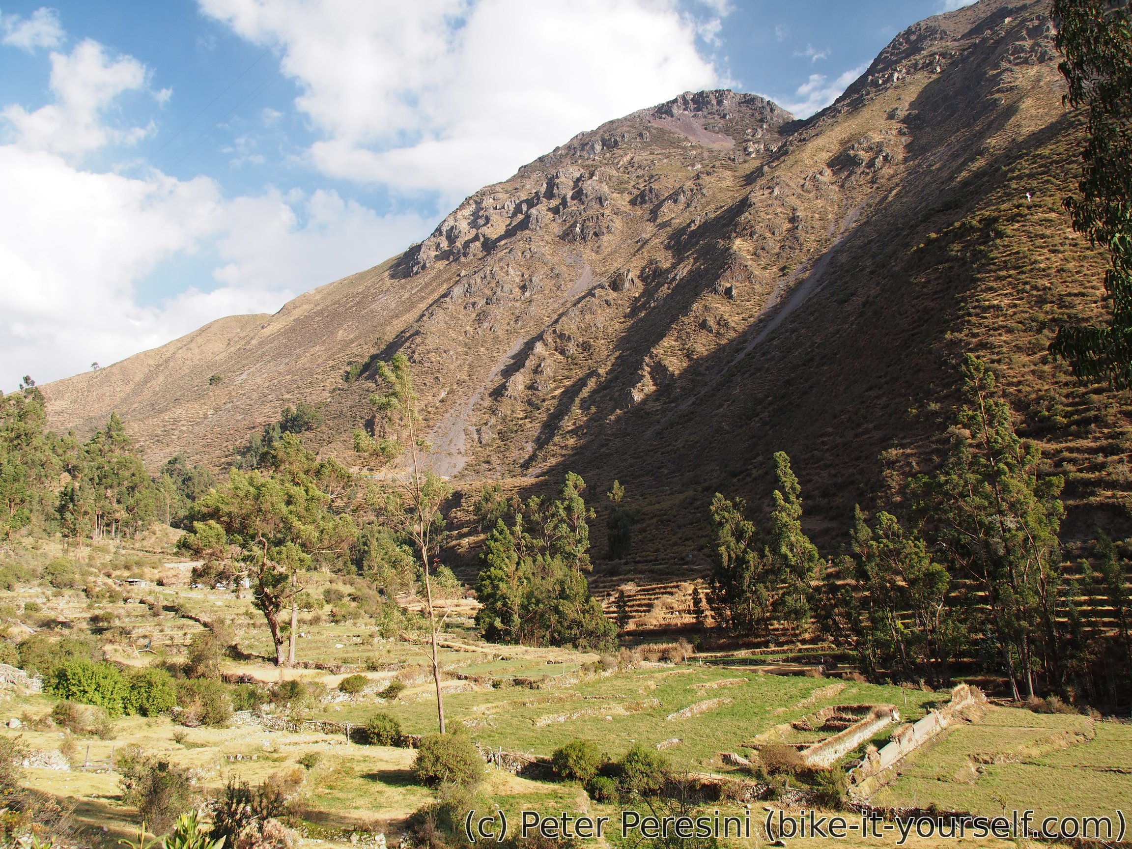
As we continue climbing the sky is getting more cloudy. I really hope it won't start raining. Meanwhile the gradients flatten a bit and we can ride more easily getting into a more undulating than hilly country. The views from here are quite something.

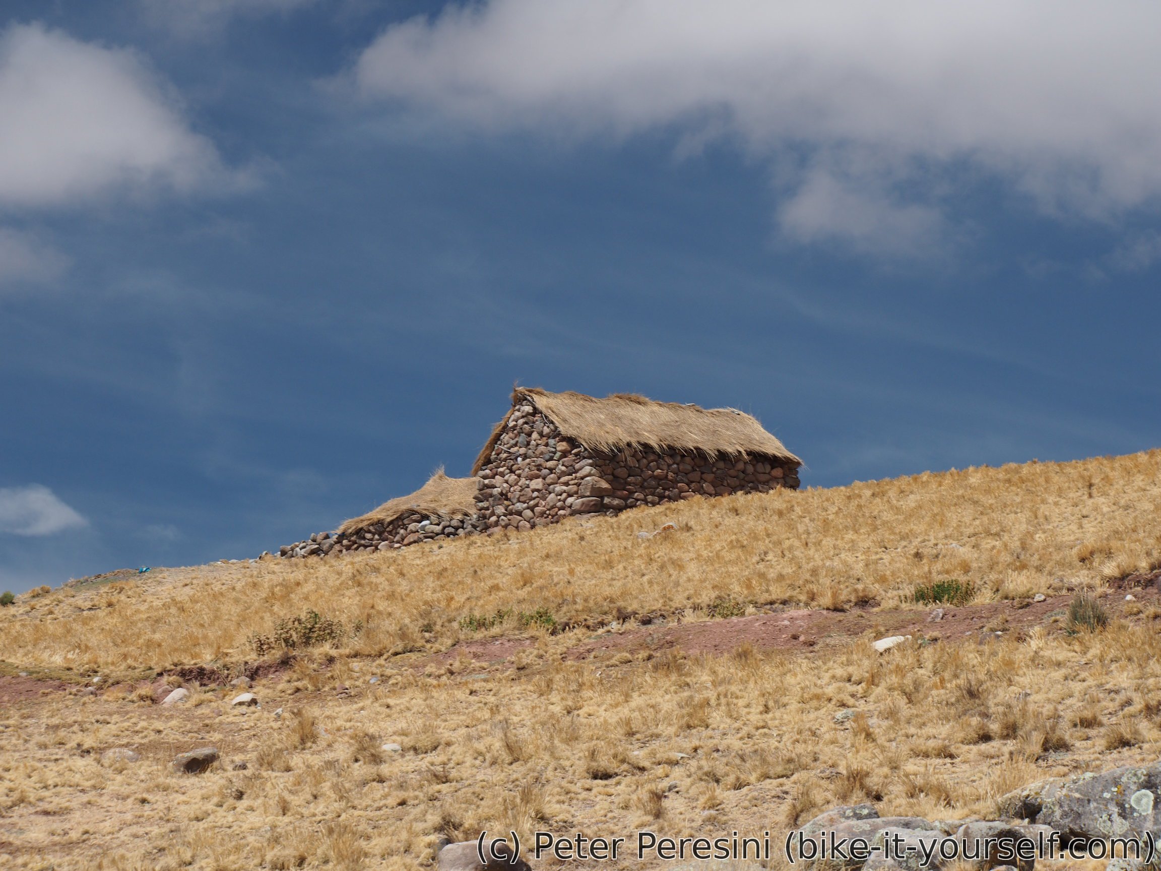
My premonition with bad weather comes to true at a particularly open spot near a pass. It starts lightly raining/snowballing. As camping in this open space isn't a good idea due to possible lightnings we try to find some better cover. Madeleine goes to check out a nearby herder's hut but it seems to be closed so we have to search elsewhere. Fortunately, the rain somehow ends we continue downhill.
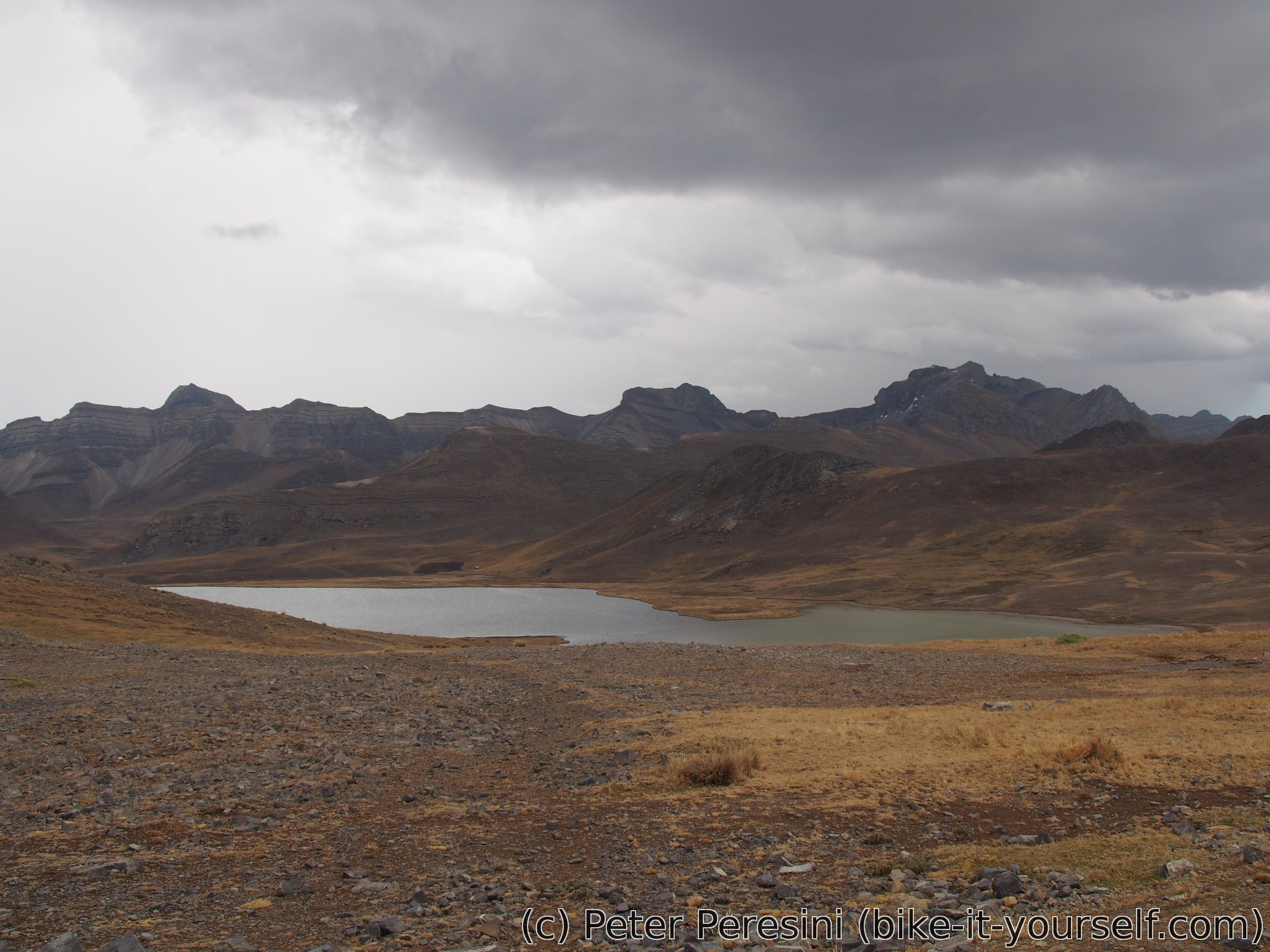
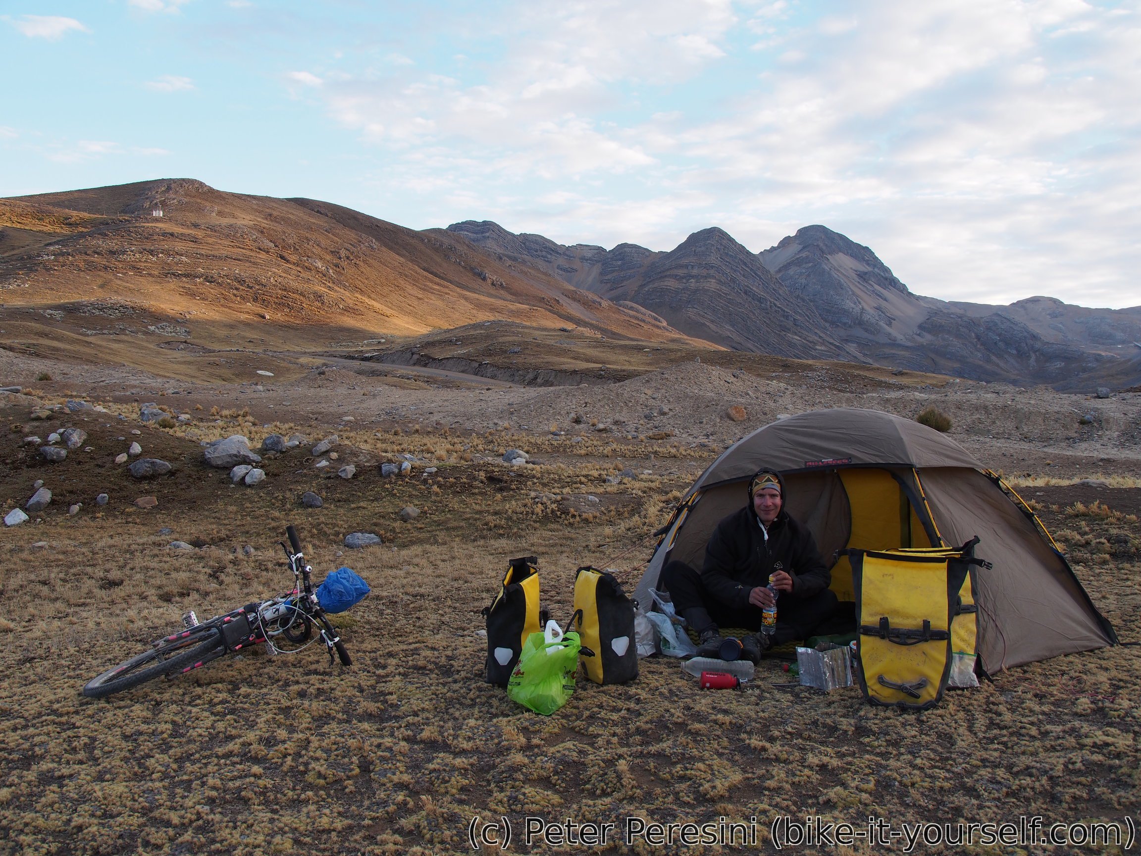
We ride the gravity until a water dam which is a route lowpoint. Here we declare it a day and settle for a freezing night. Surprisingly, the weather slowly clears and by the sunset we have quite nice views of the mountains around.

August 25


As I predicted yesterday's evening our tents are covered in hoarfrost. This sets off start a bit as particularly my tent takes some time to dry. After yesterday's light rain I am a bit wary of the clouds in the direction we should go but there's nothing I can do about it.
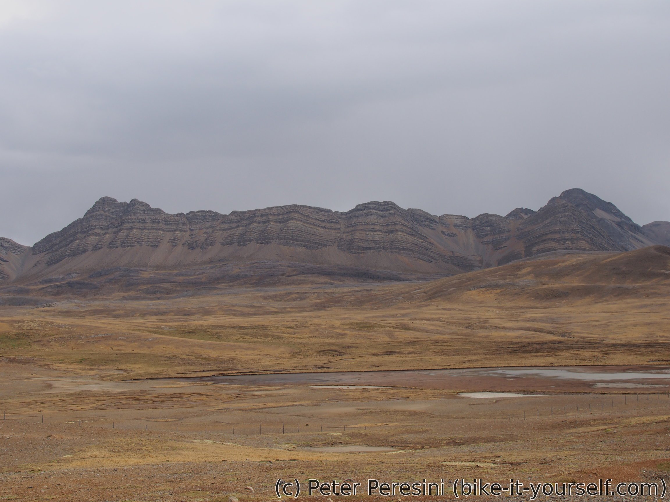
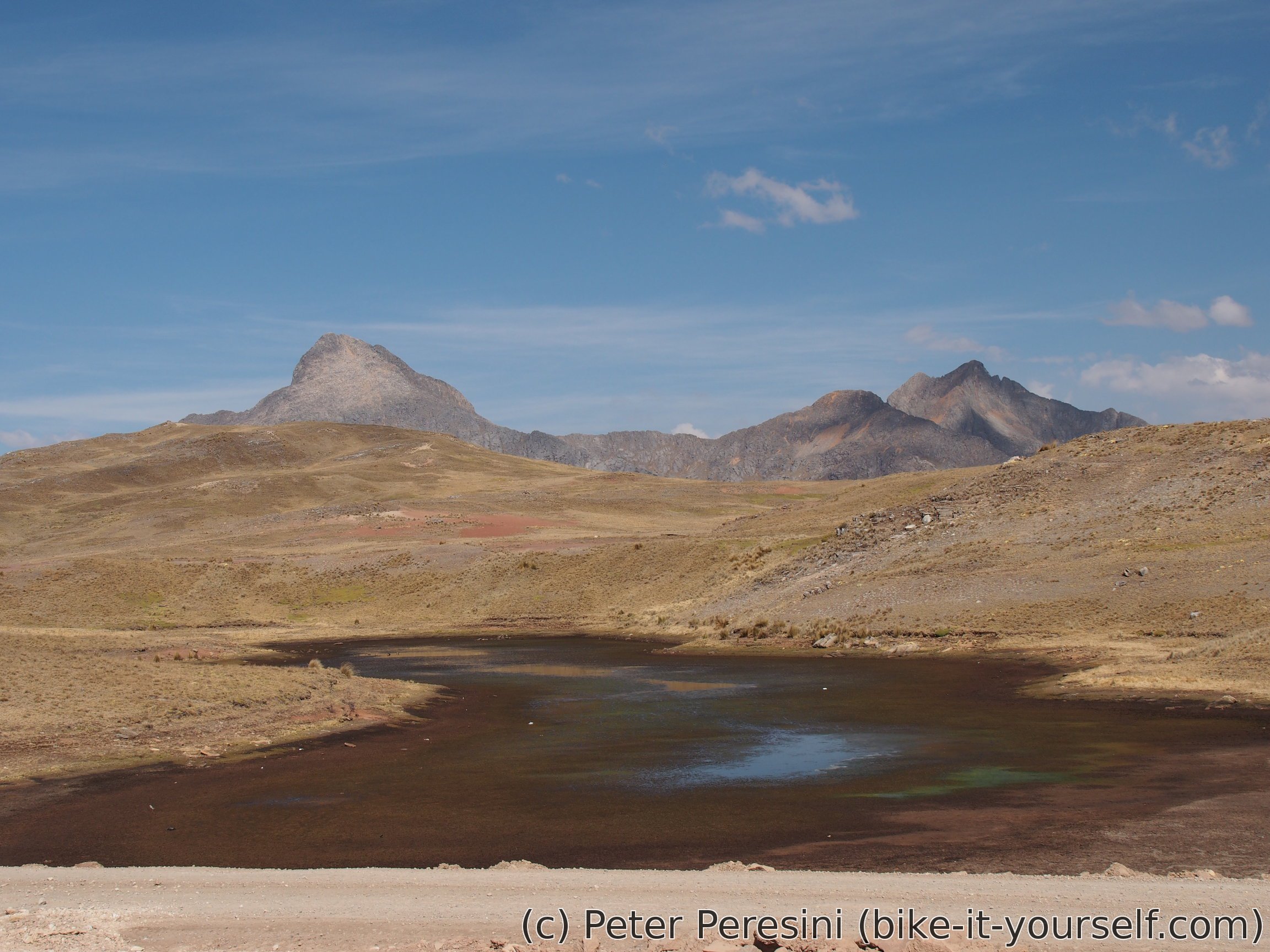
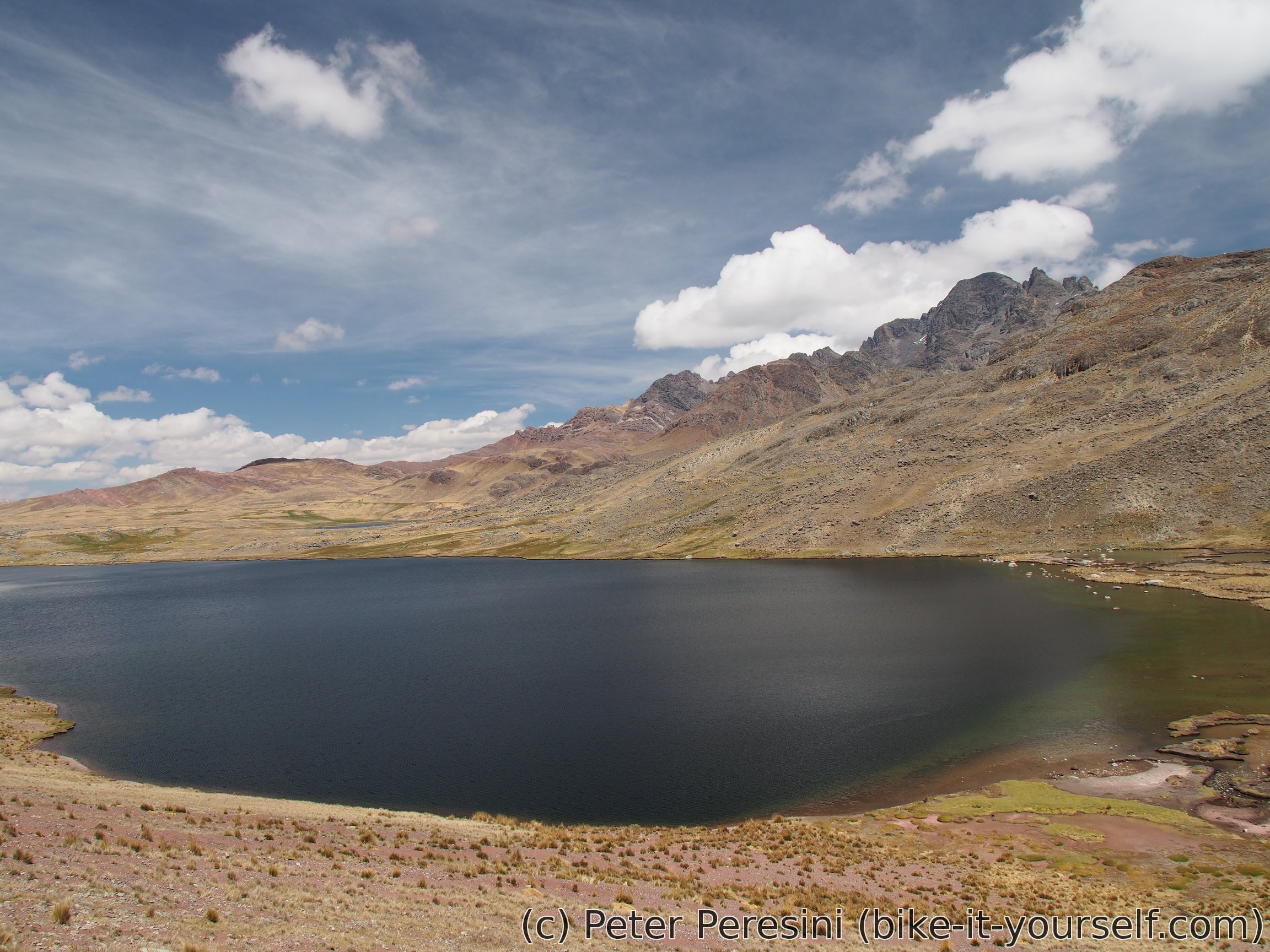
Our first climb of the day is Abra Turpa. Fortunately, it is only 200m of climb and we find ourself once again descending into a magical scenery. Of a particular interest is an enormous water dam Yurajcocha which, despite its size, doesn't have a big wall.
As with all good things the descent comes to an end on a huge valley. The road then undulates a bit as we go downstream a river. This doesn't last too long though and we find once again climbing out of the valley.
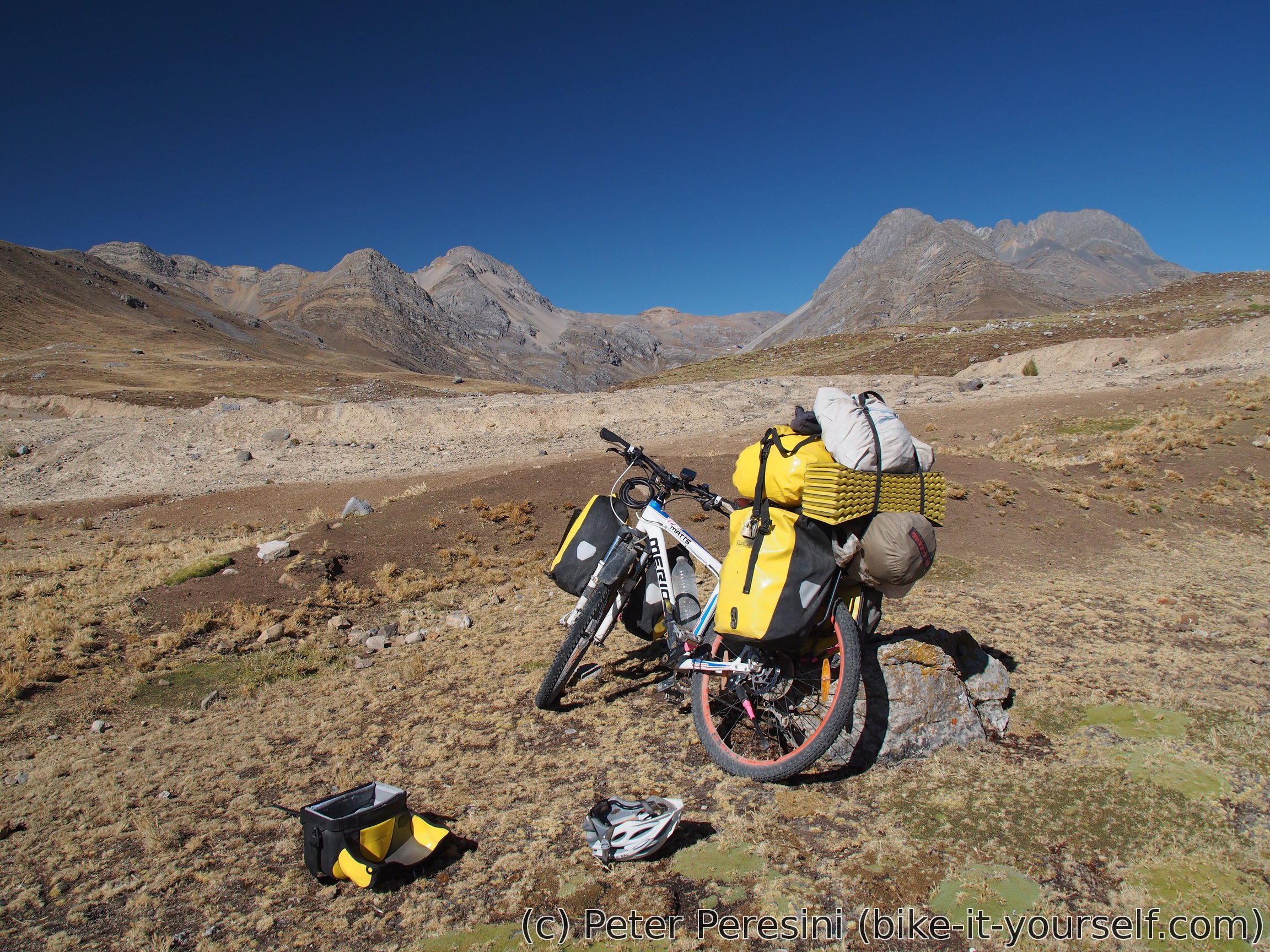
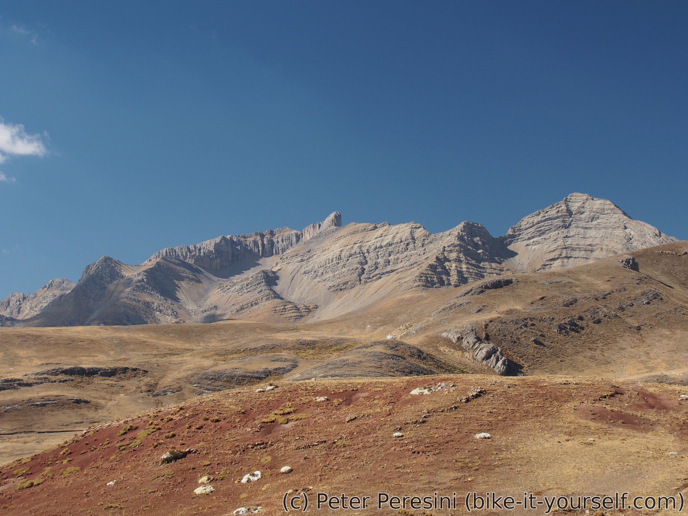
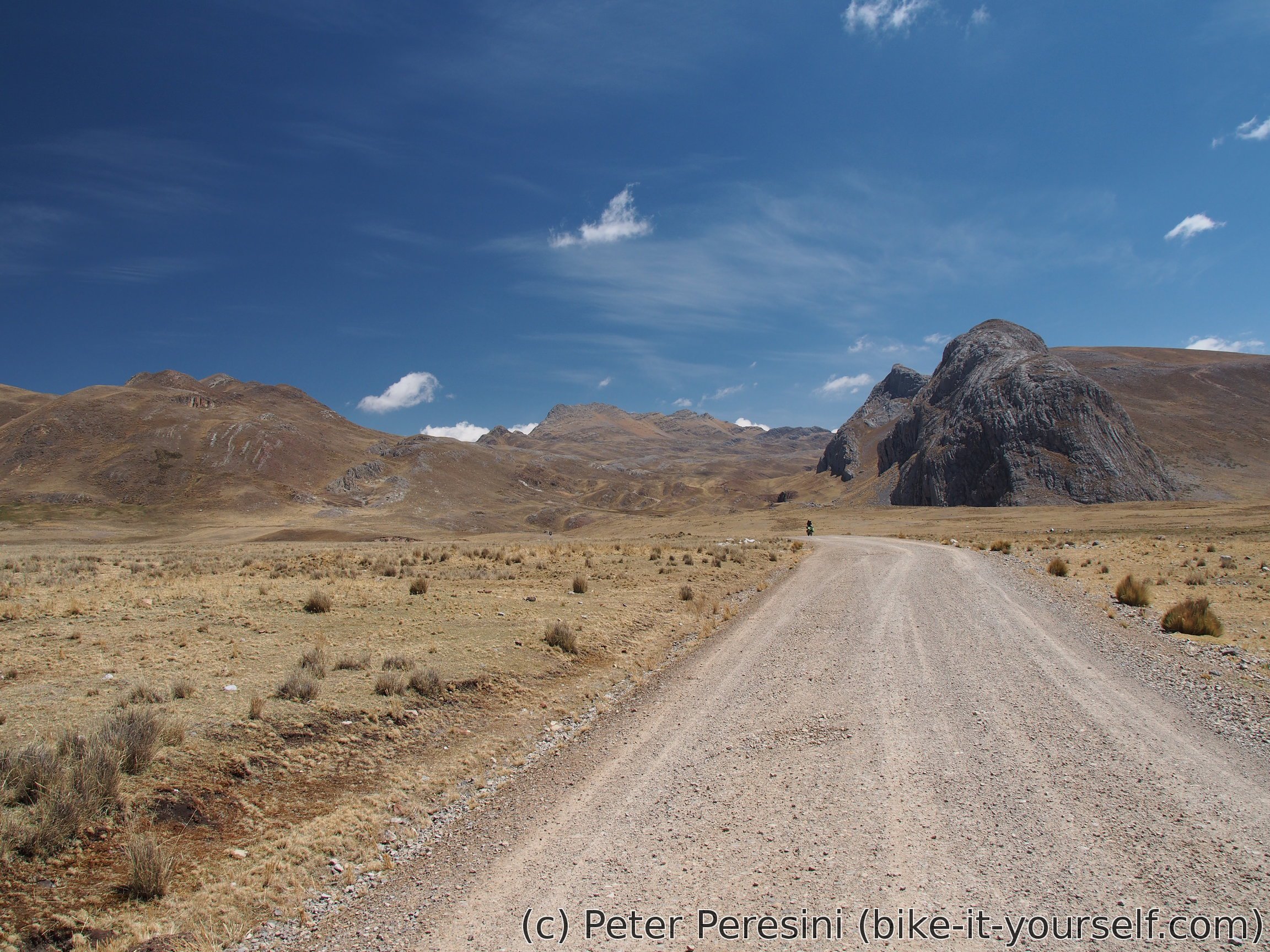
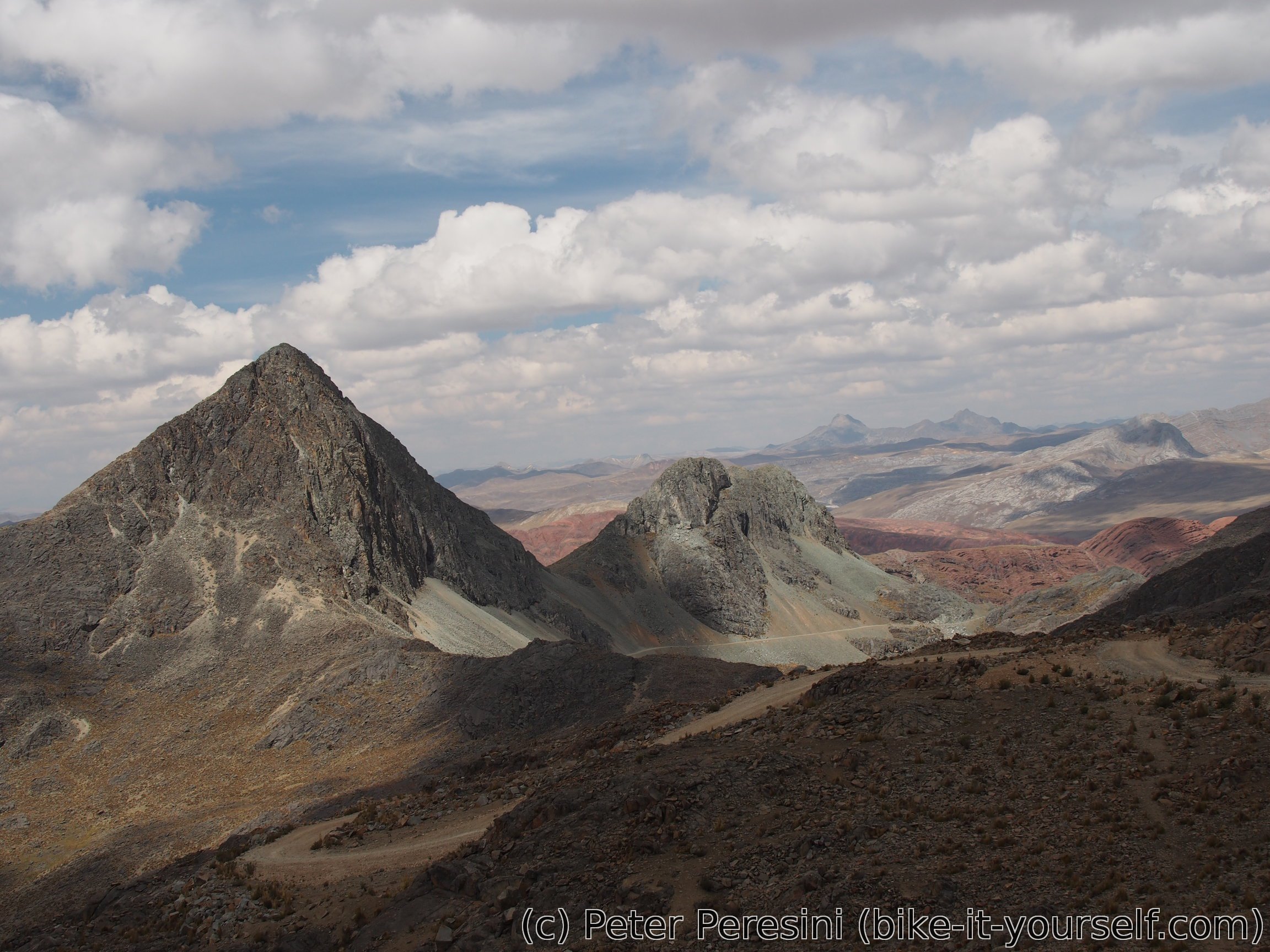
Our relatively good road ends at a junction to Paso Don Mario. The road we are taking is a miserably rocky mining road. Fortunately, by now there isn't much left of the climb. Getting to the pass opens amazing new scenery with siluettes of peeky mountains in the distance.
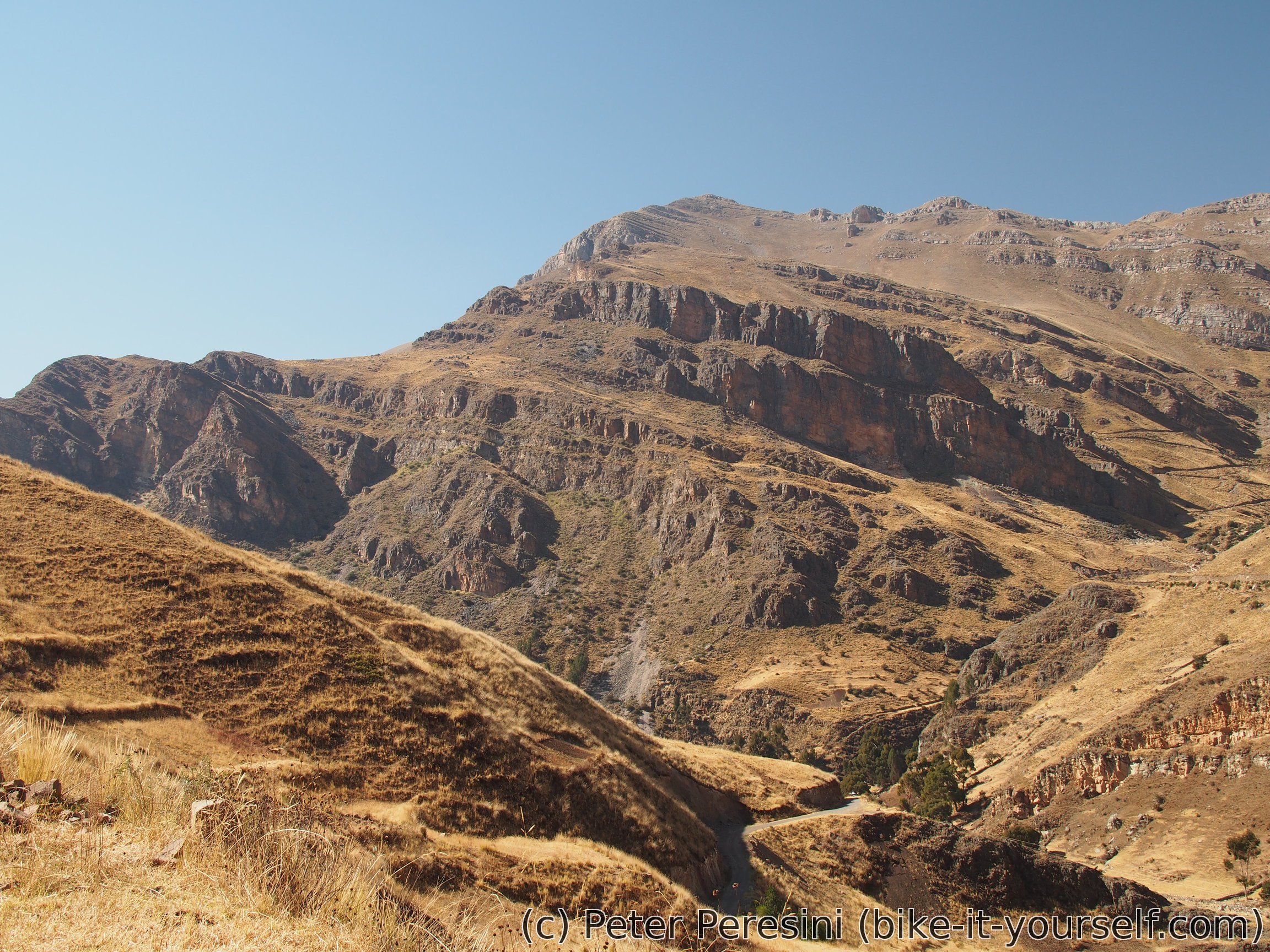
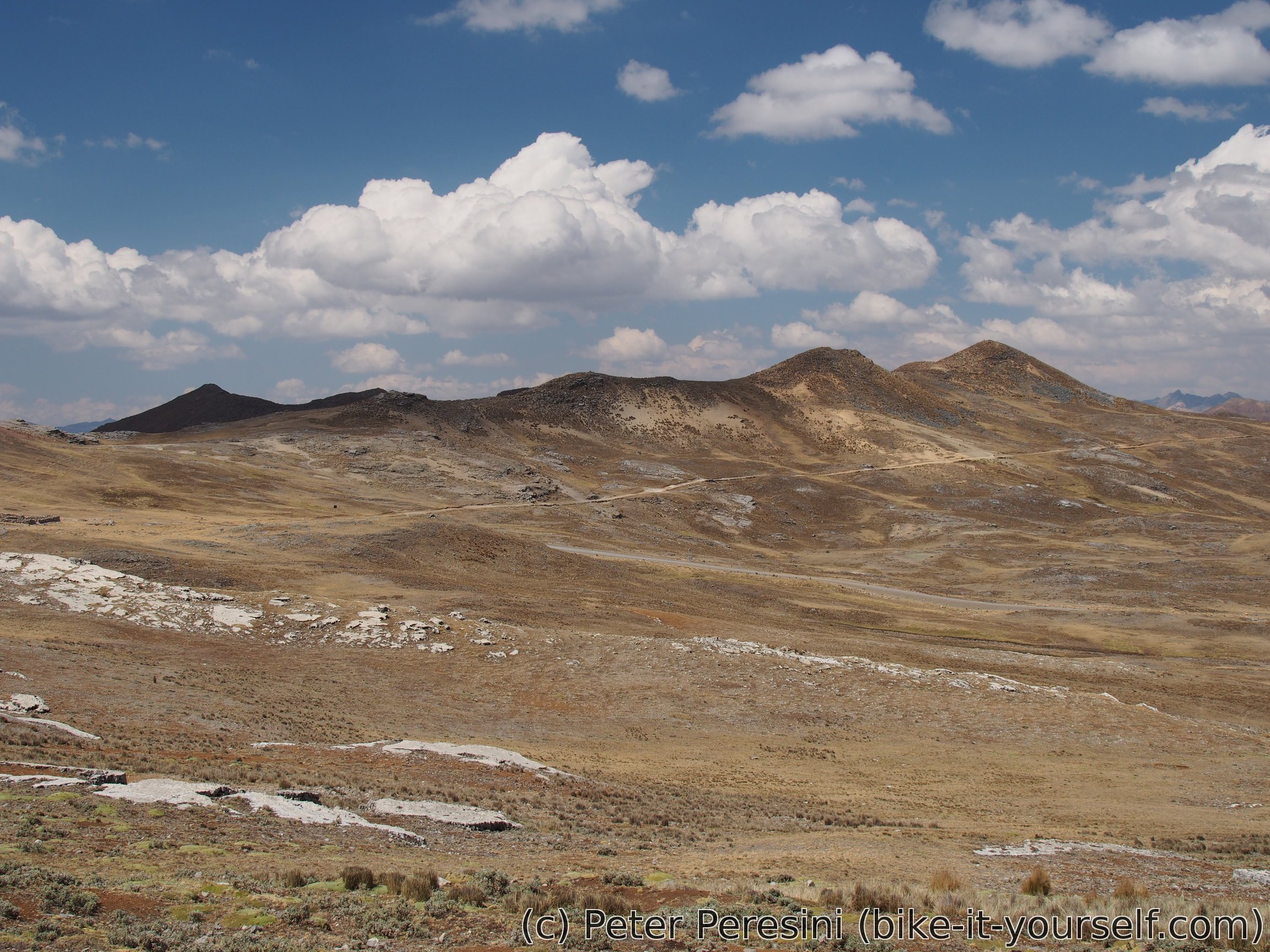
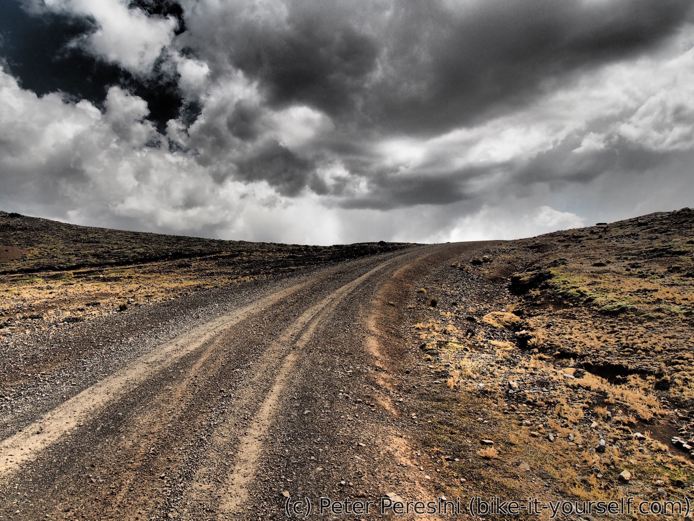
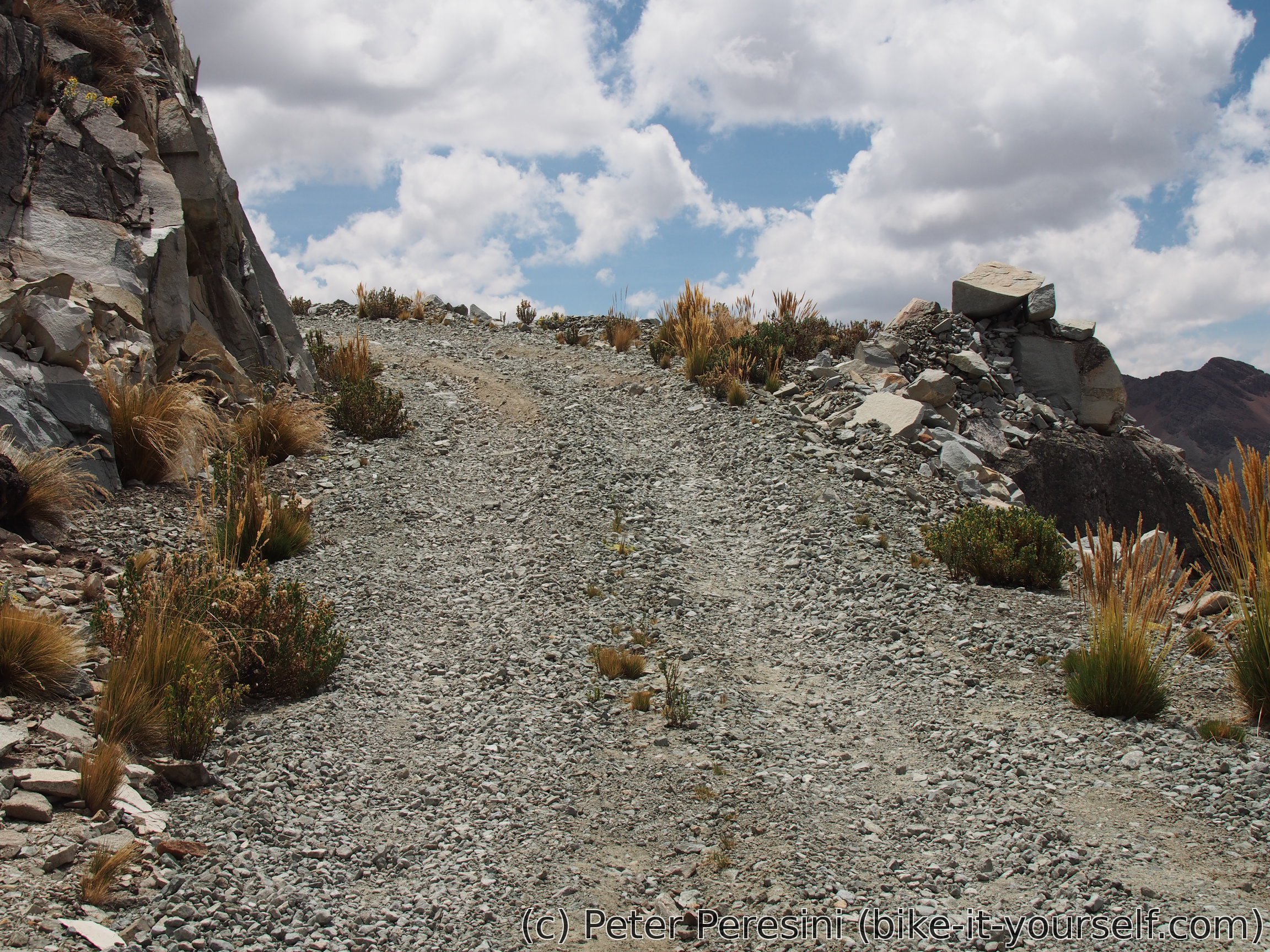
Descent from Paso Don Mario isn't better than the ascent. We rattle our bikes on a very bumpy and rocky road. As I thought this couldn't get worse it definitely gets. After a short relatively nice ride on a bit better part of the road a true bumpy hell starts. The road here goes through a huge limestone plateau and we ride practically on the rock.
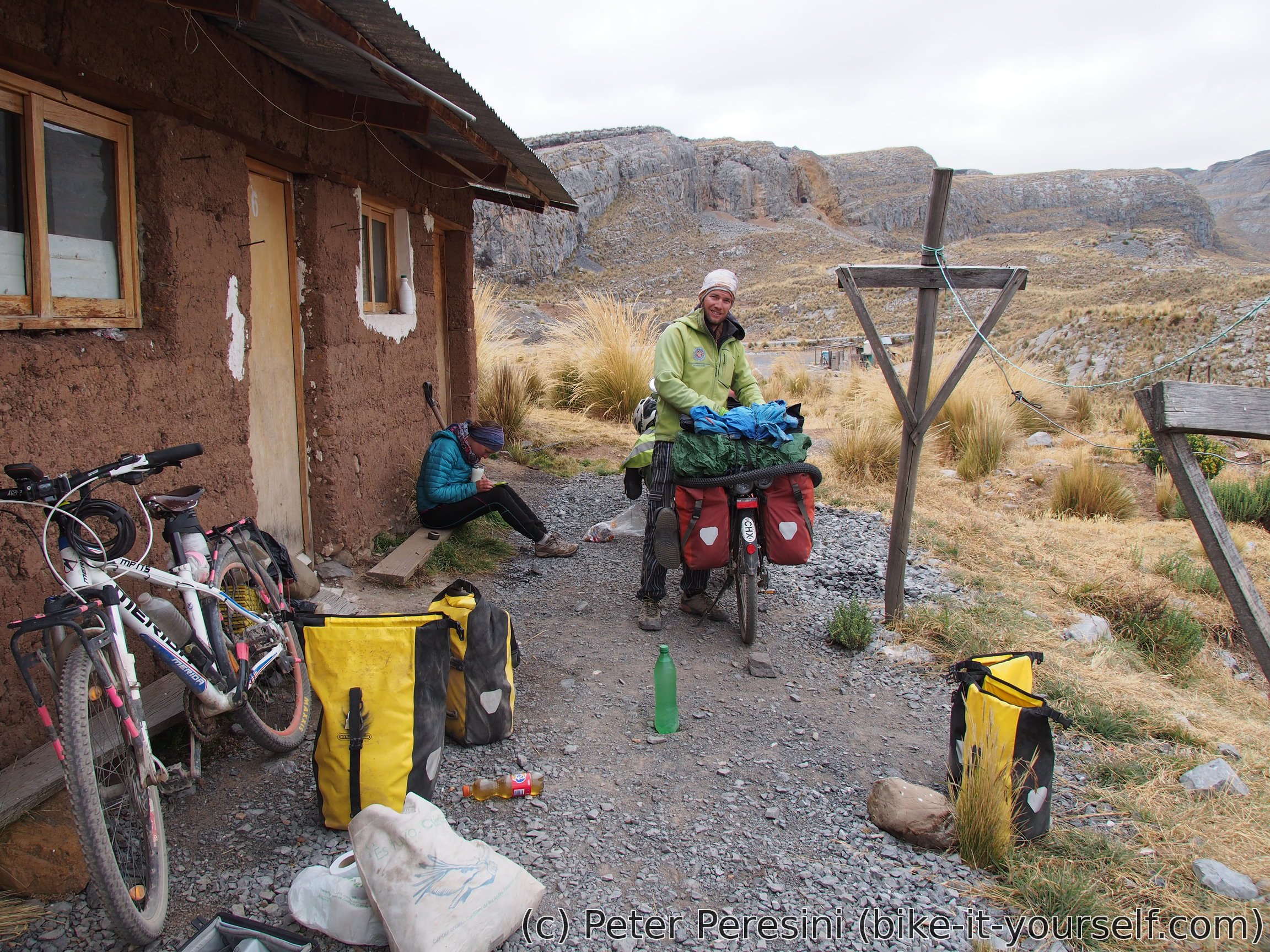
As the evening is approaching quite quickly we are trying to get a bit more downhill from our current elevation of 4600m. Fortunately, just after the plateau a steep descent starts. This leads down into 4400m where a supposedly abandoned mine Don Mario lies. The mine, however, turns out to be far from abandoned. As it is too late to tackle any climb by now we decide to ask at the mine if we can camp there. Unfortunately, the "boss" responsible for such decisions is still in the mine so we have to wait until he returns.
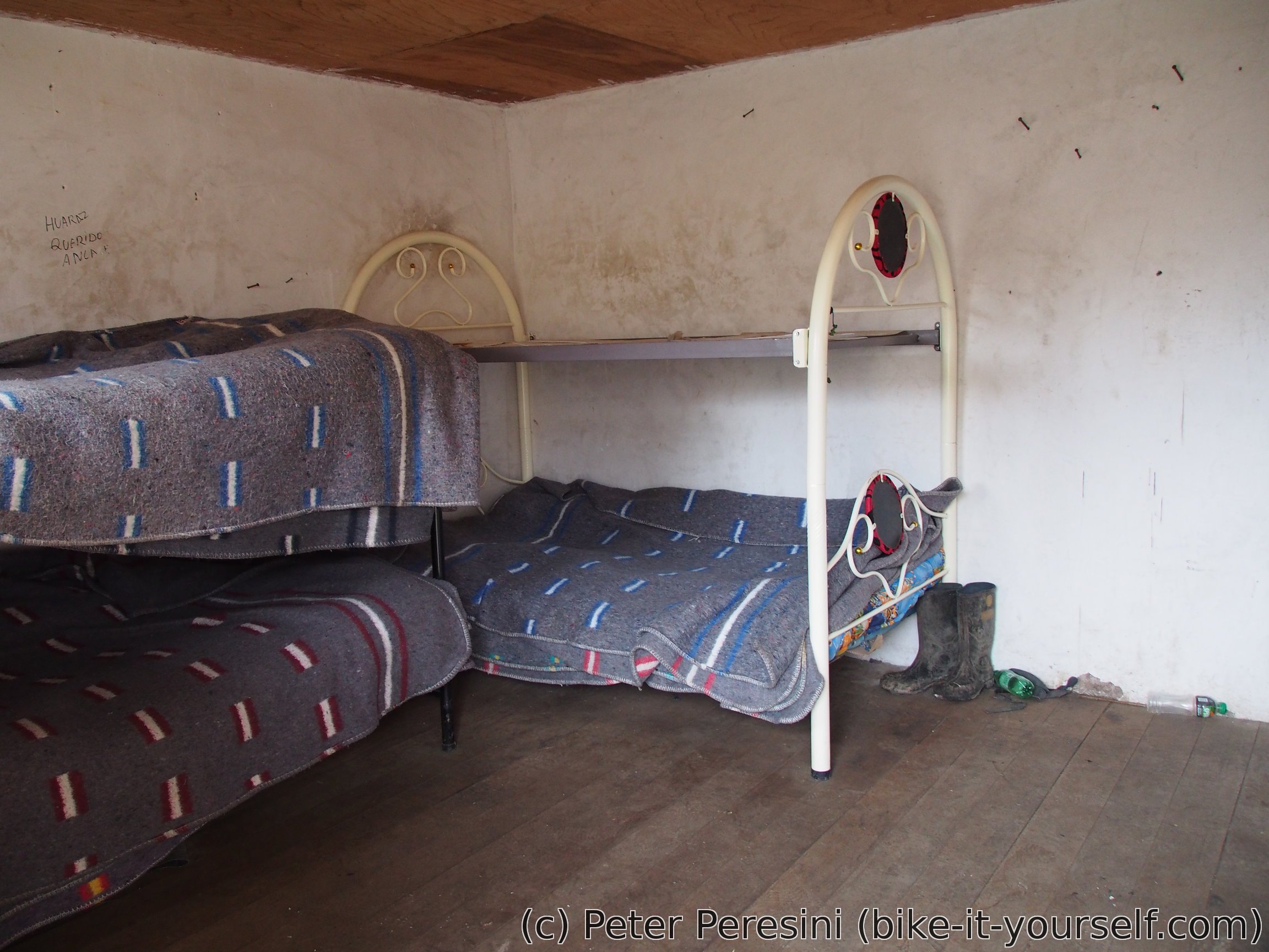
When the boss finally returns it is already dark. Fortunately for us, the folks here are very nice and allow us to stay in one of the cabins. I mean, we get real beds! Treats doesn't end here though. We are invited for a very good dinner. And they even have WiFi here (presumably powered by some satellite dish outside).
We are learning that Mina Don Mario isn't a big business. It usually has about 10 workers working at a time. The mine rotates people with 20 days of work and then holiday of 10 days. Apart from the miners there is exactly one staff person and that is the cook. While there are different things to mine around here Mina Don Mario focuses mostly on lead and some minerals.
August 26
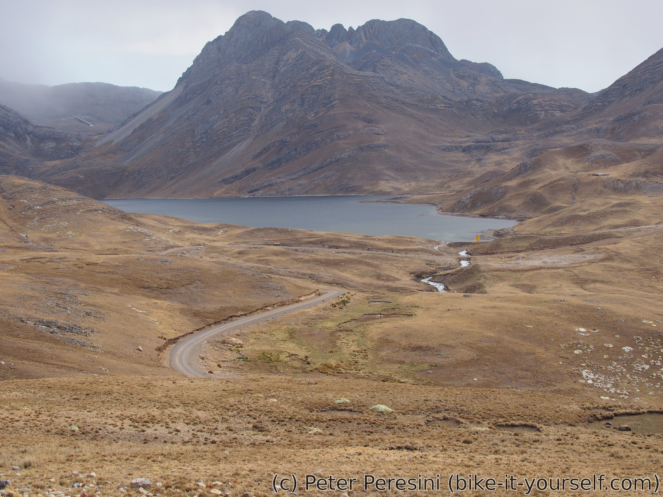
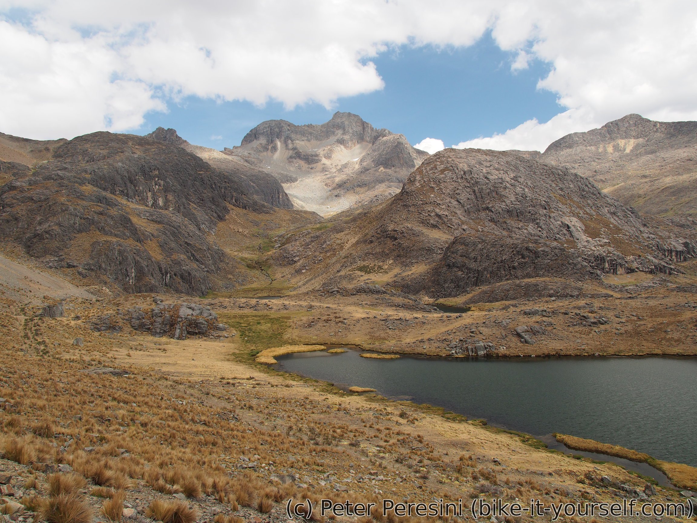
We leave the unexpected accomodation at Don Mario into a rather gloomy morning -- the Sun is hidden behind a thick cover of clouds. Fortunately, they are quickly clearing and soon we get some good views. At this point we decide to split -- Jeremy and Madeleine aren't feeling for a hard push today and I want to get over Punta Pumacocha to Laraos until the evening. I soon lose them and cycle towards Reserva Paisajistica Nor Yauyos-Cochas.
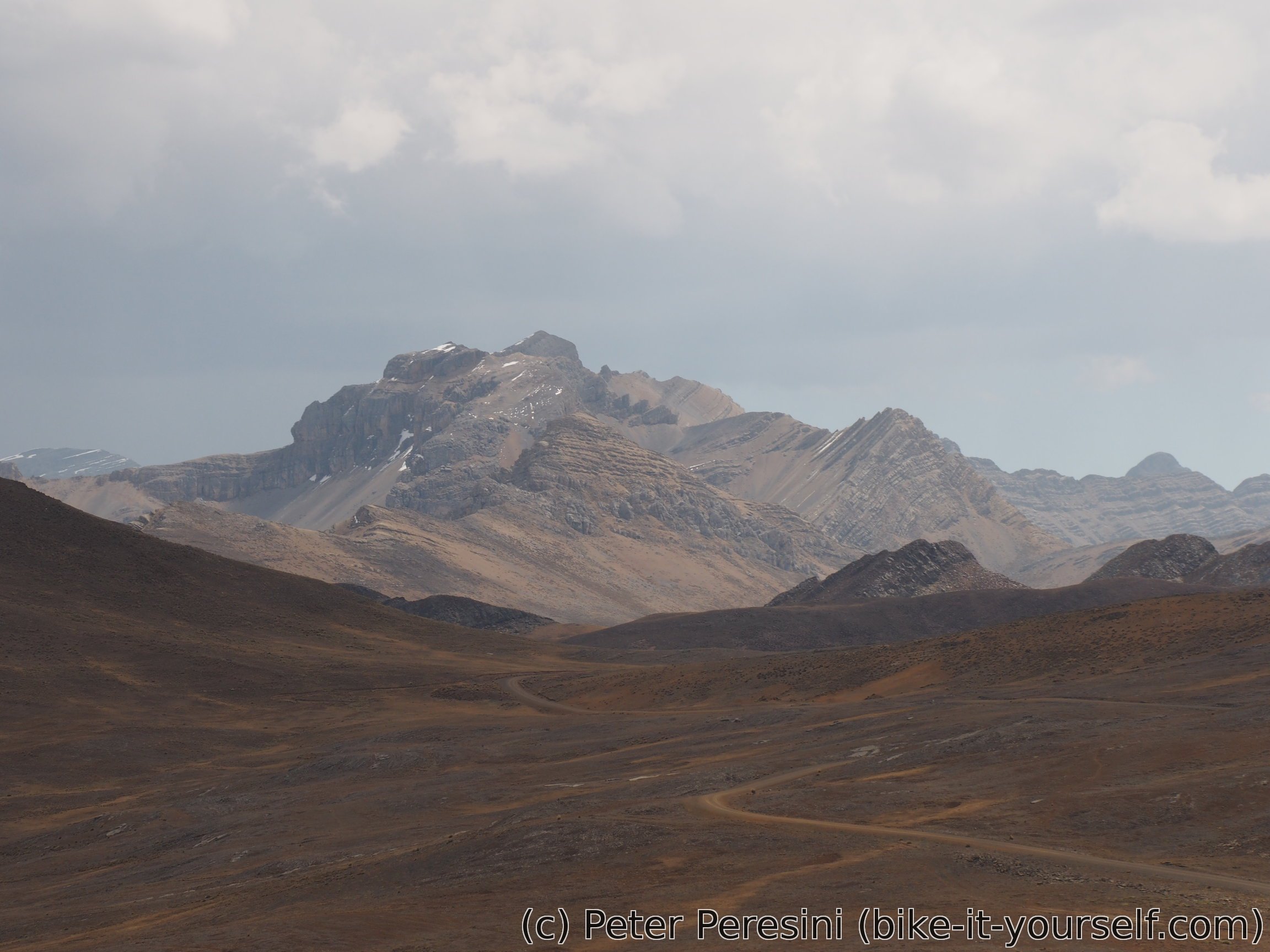
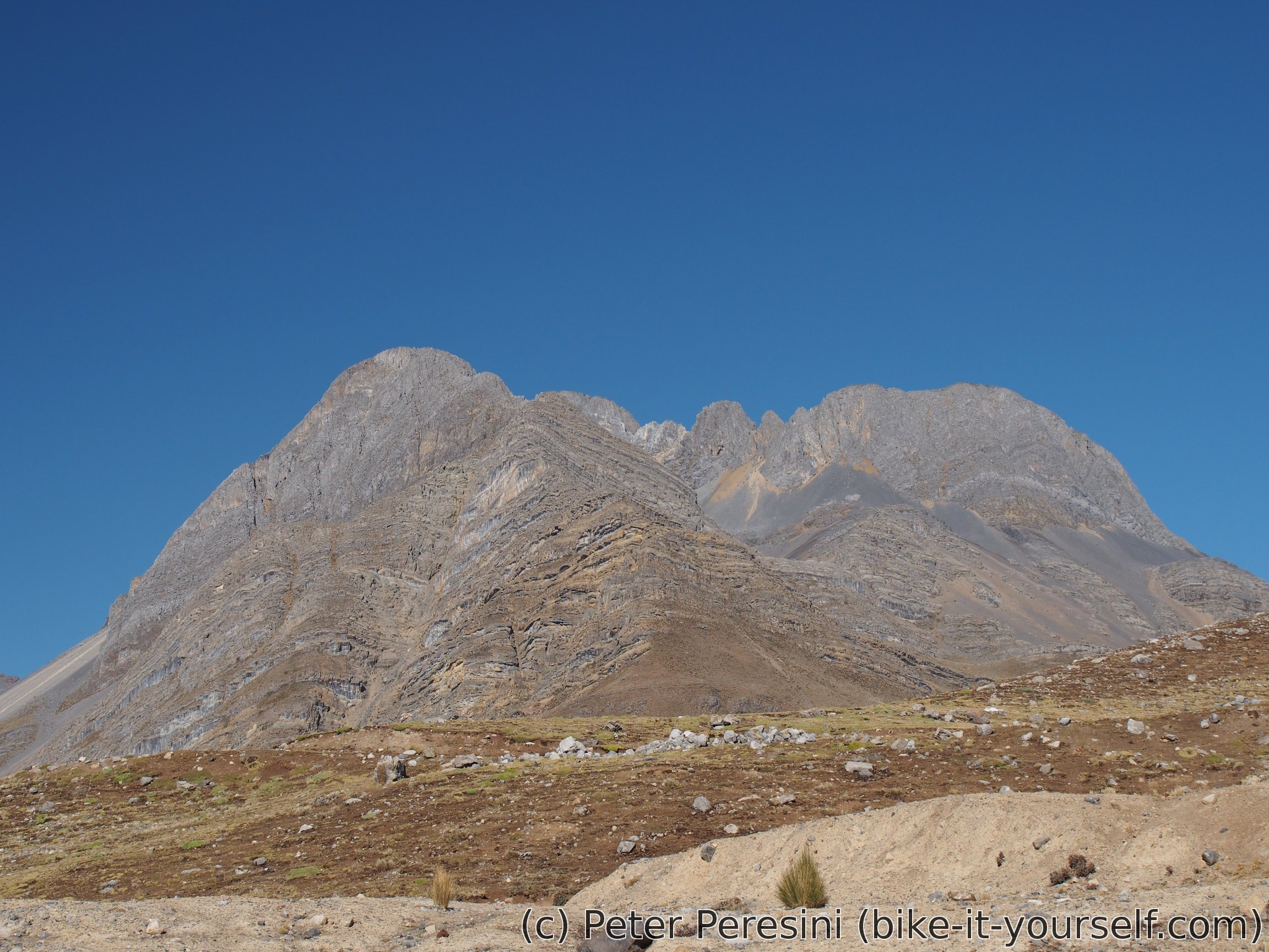
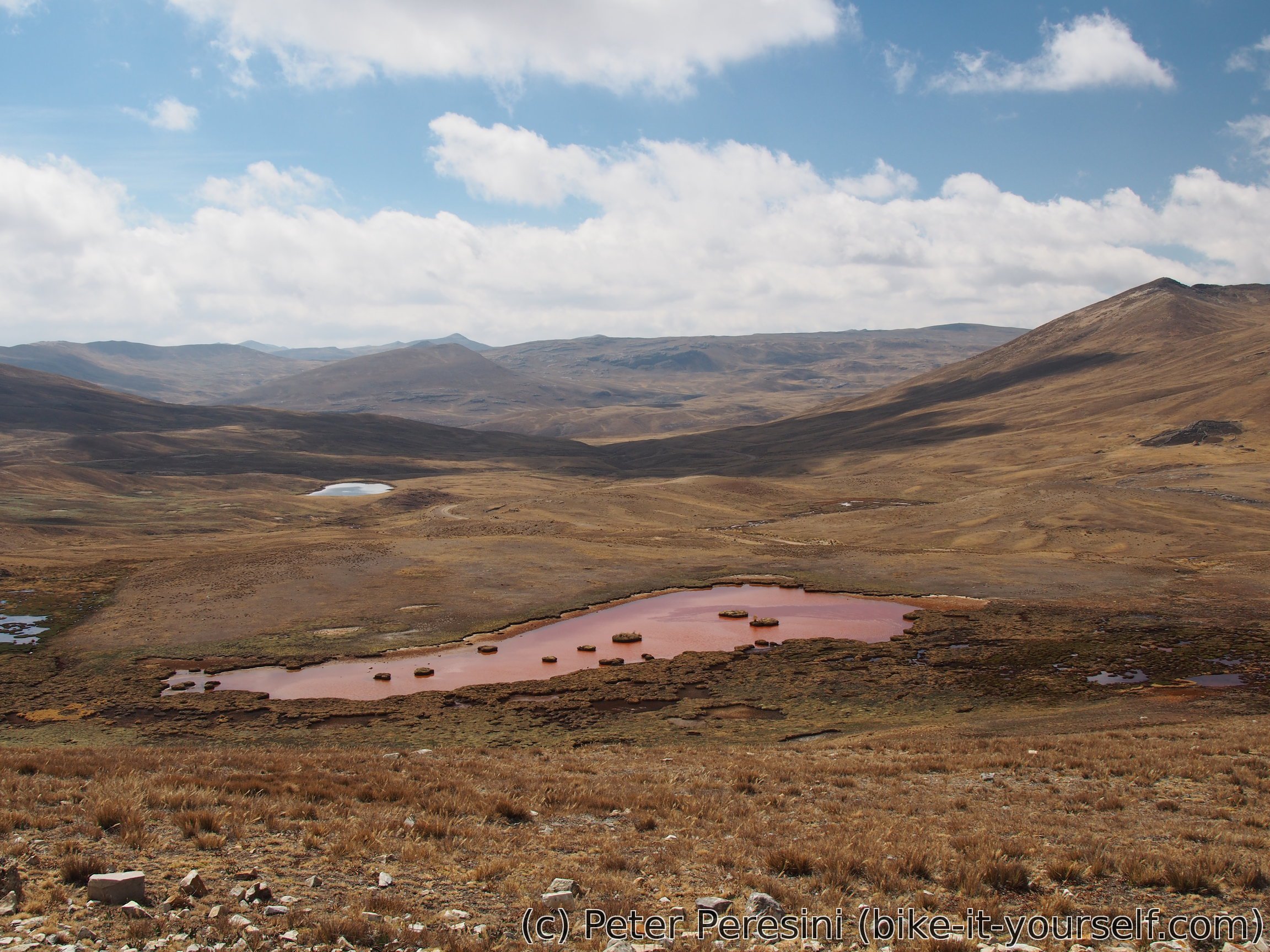
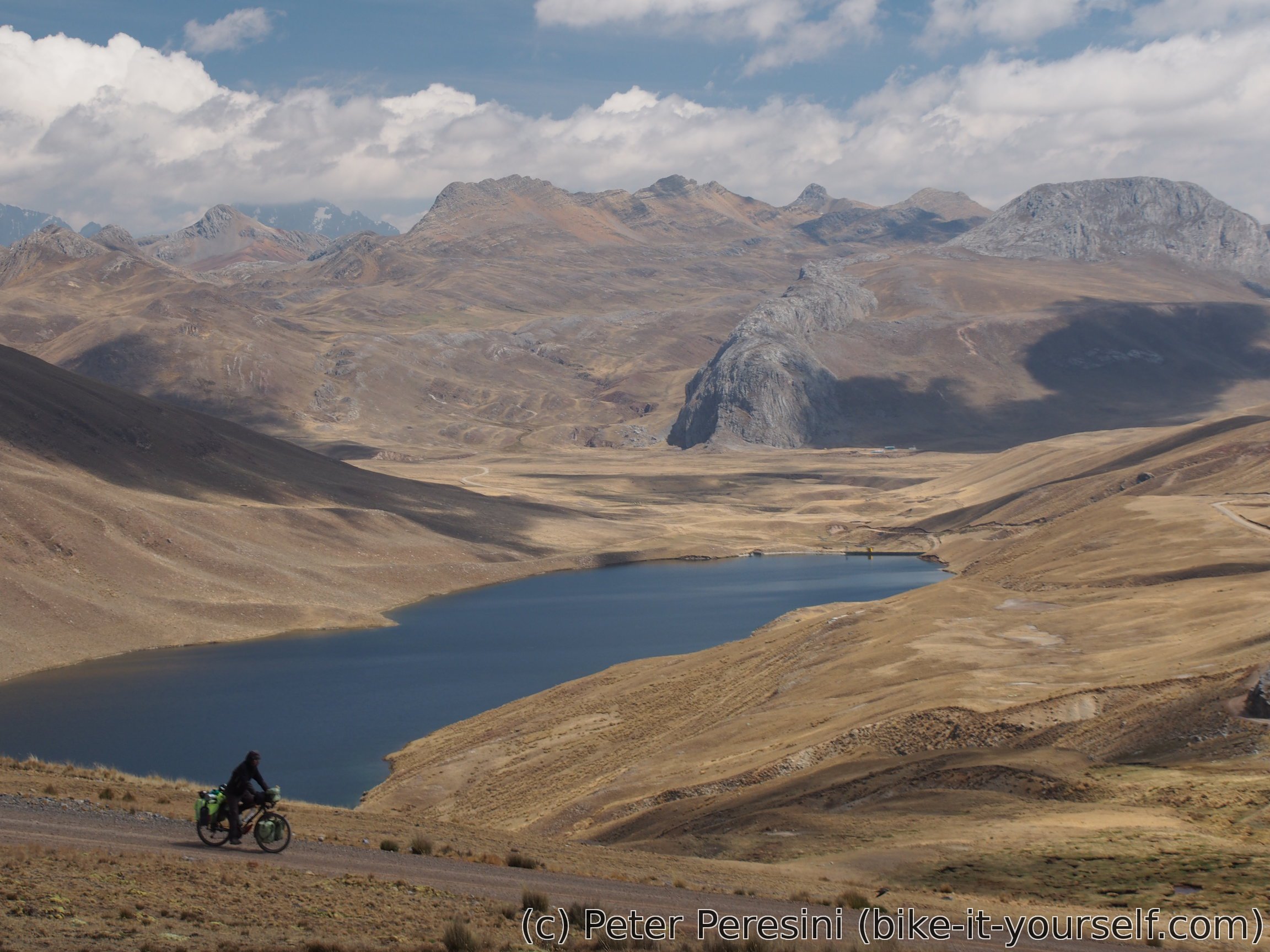
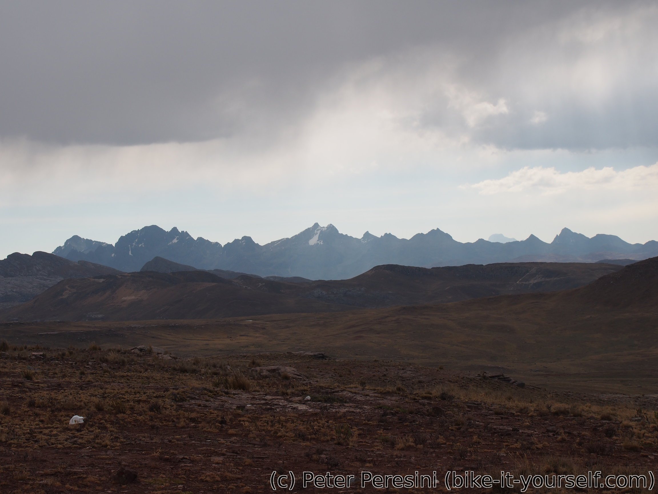
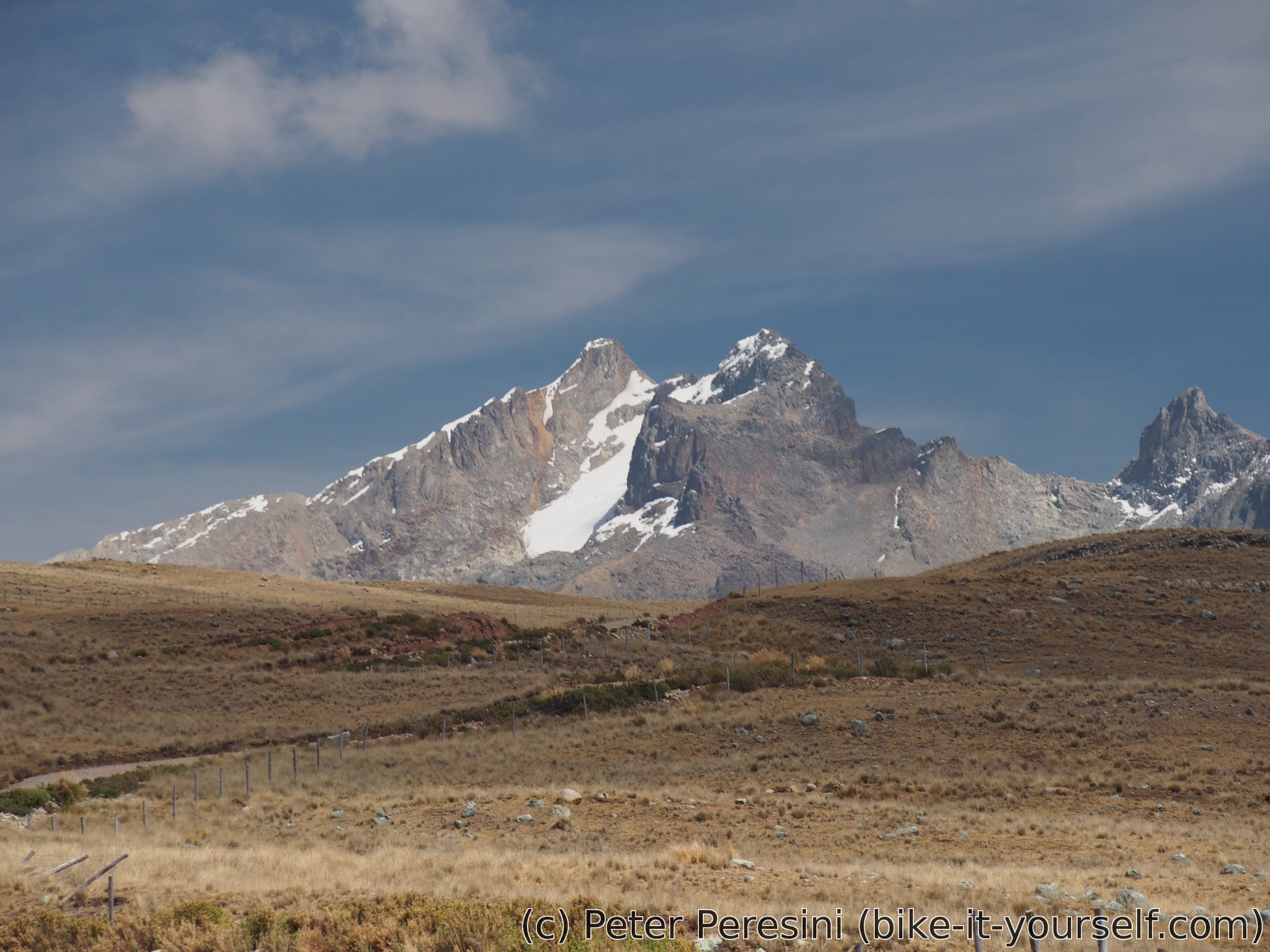
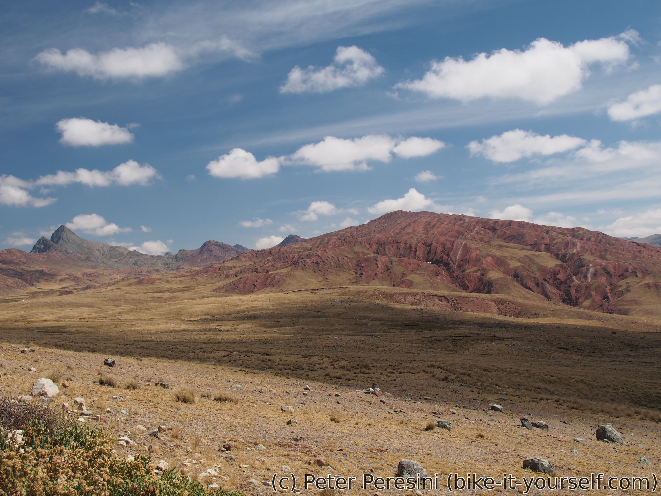
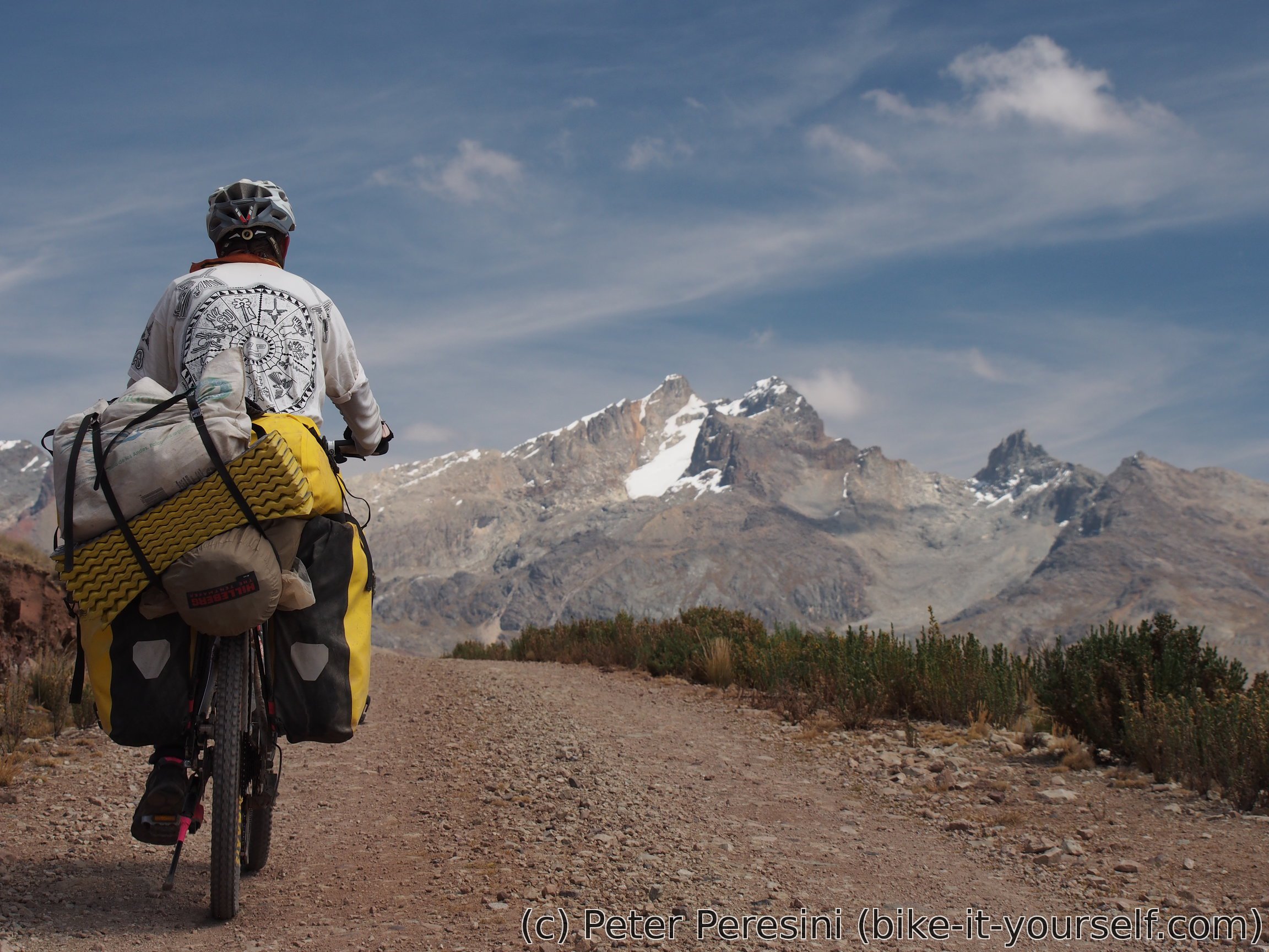
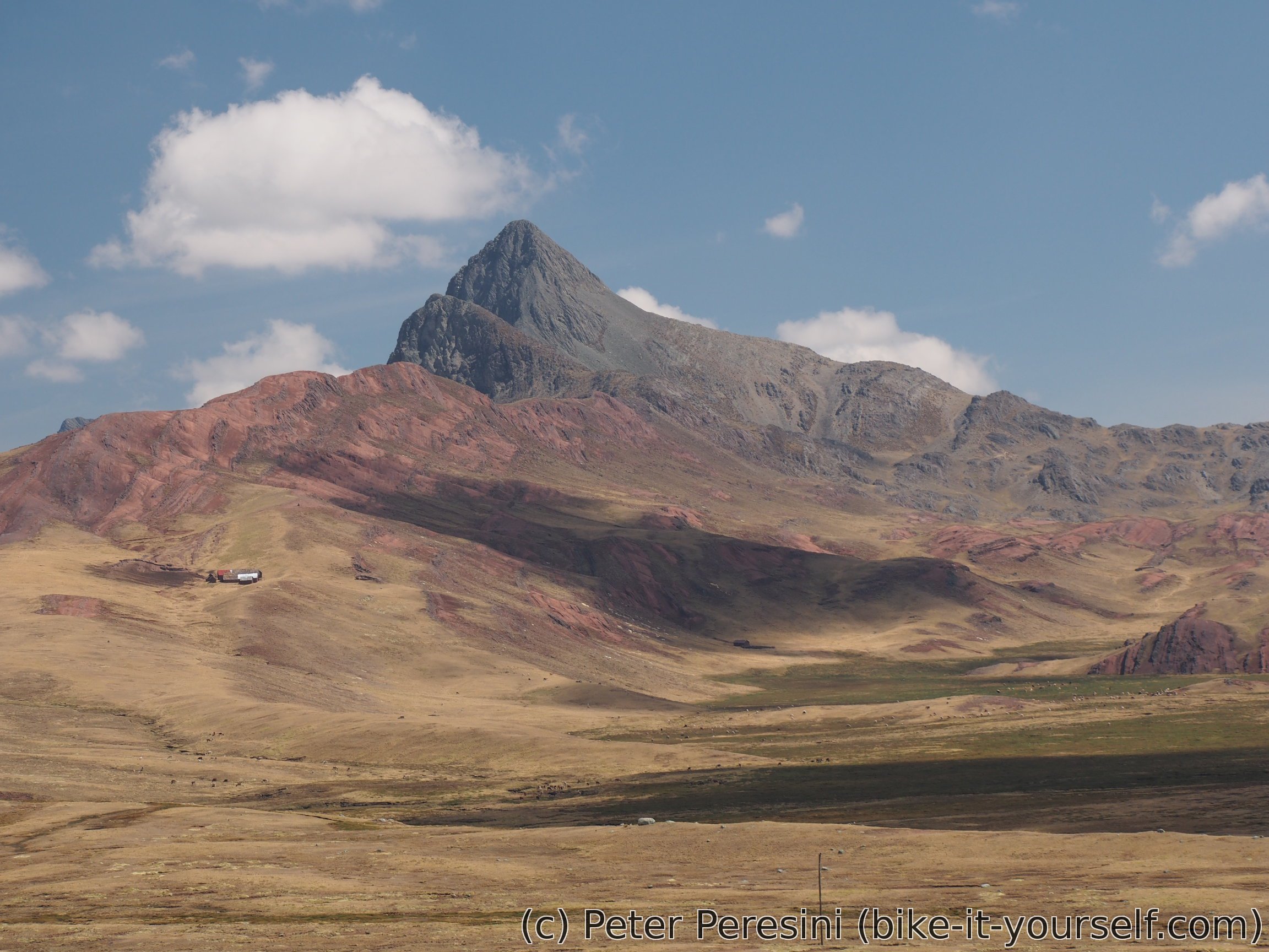
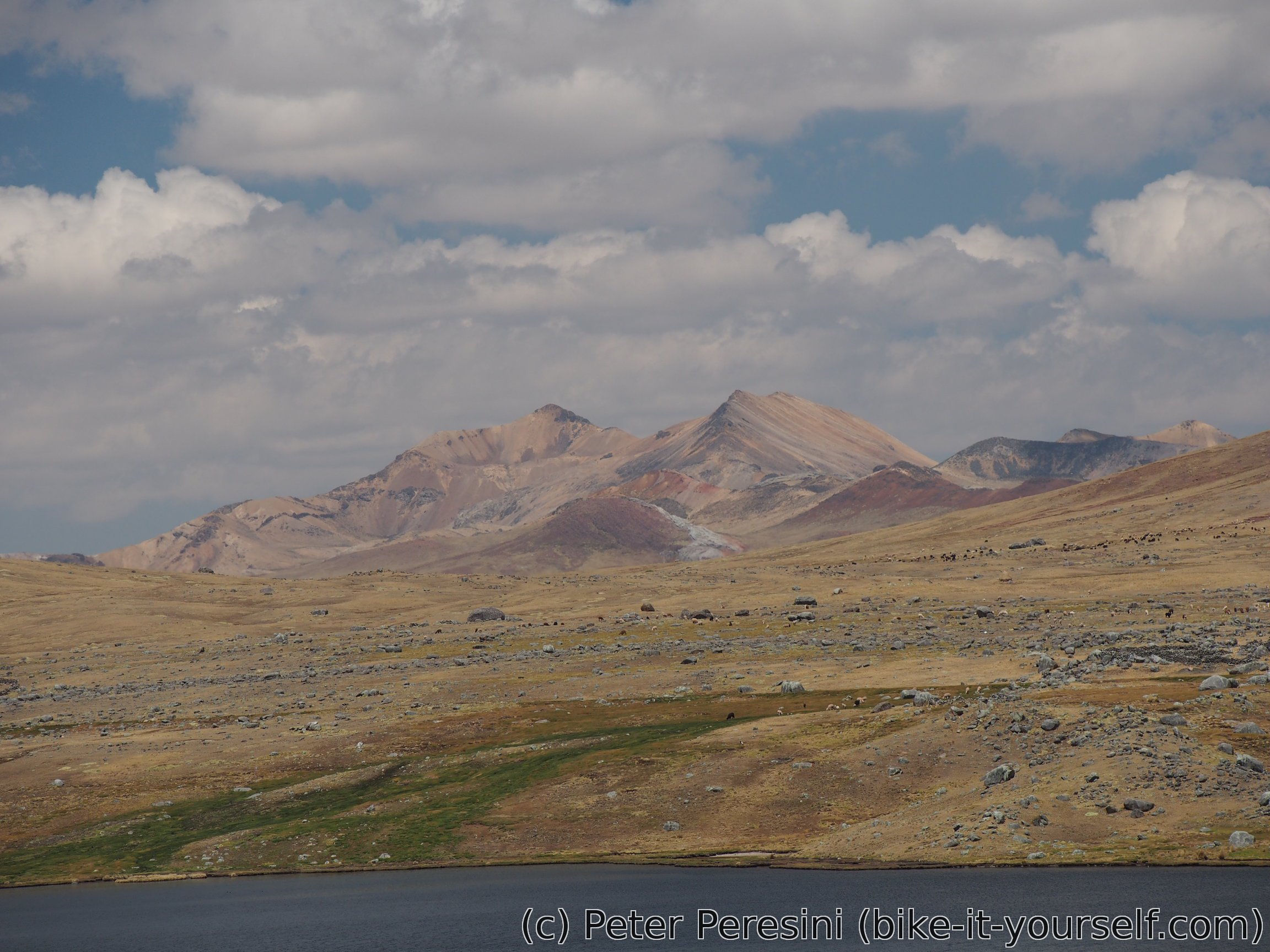
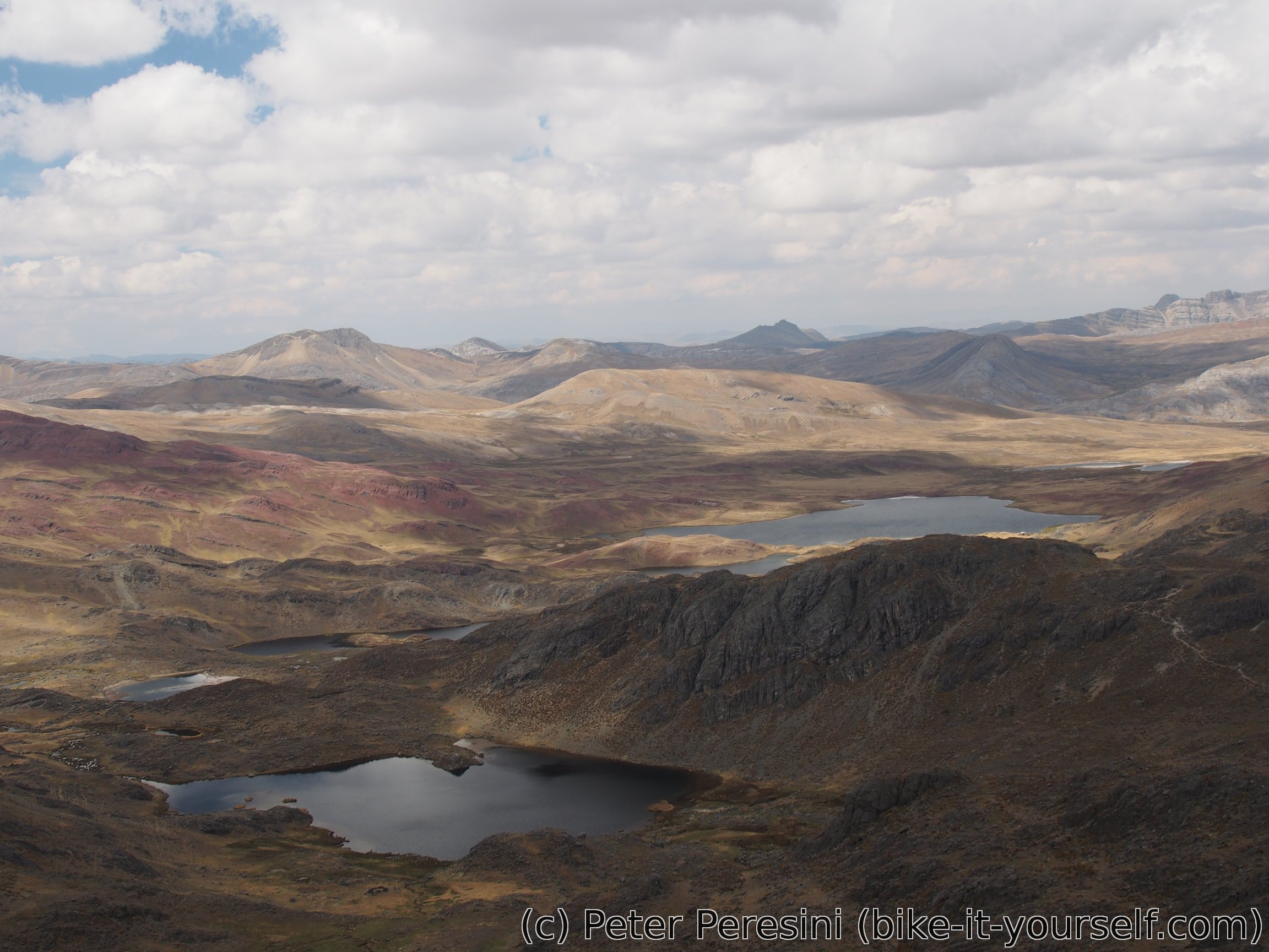
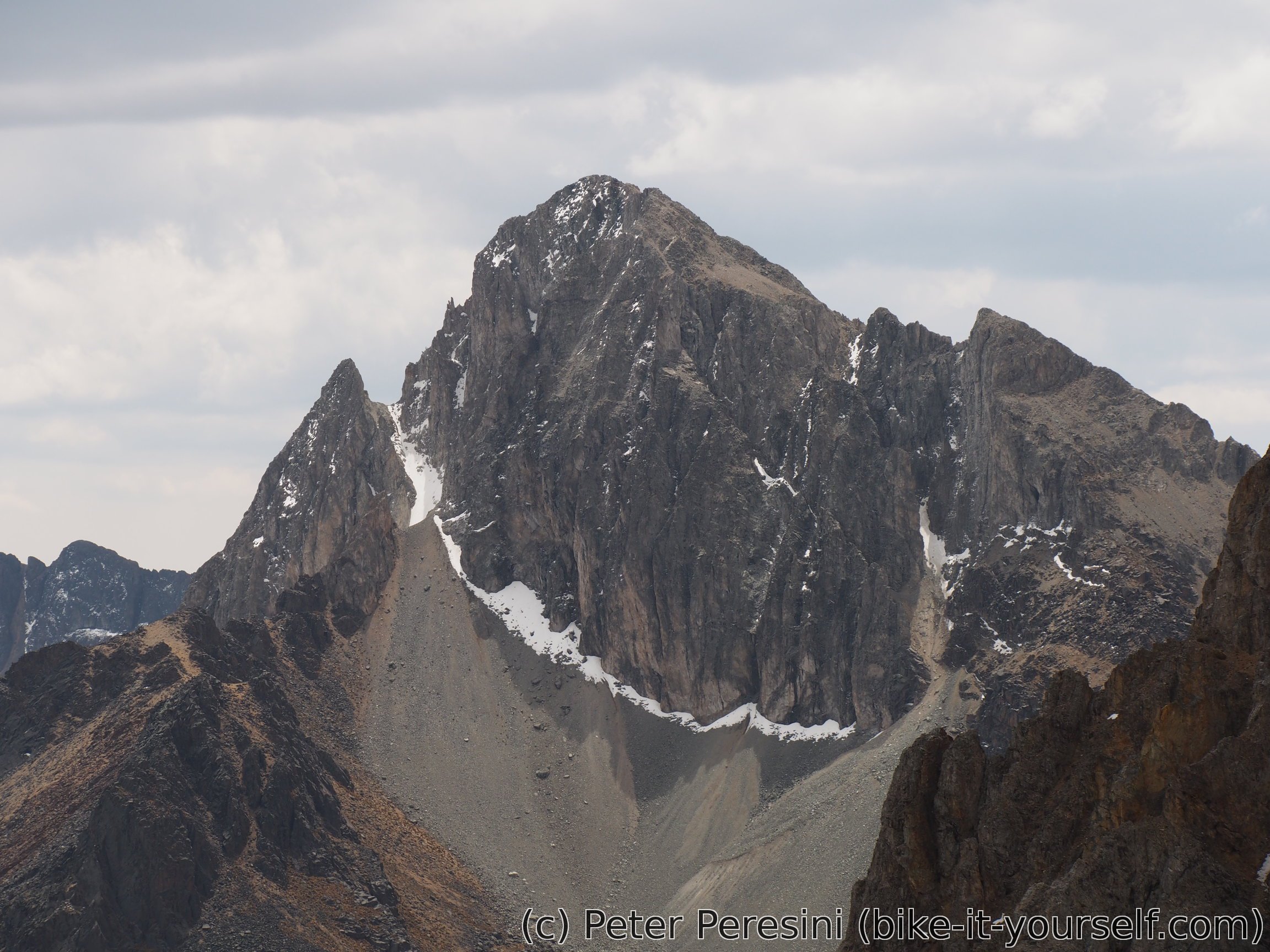
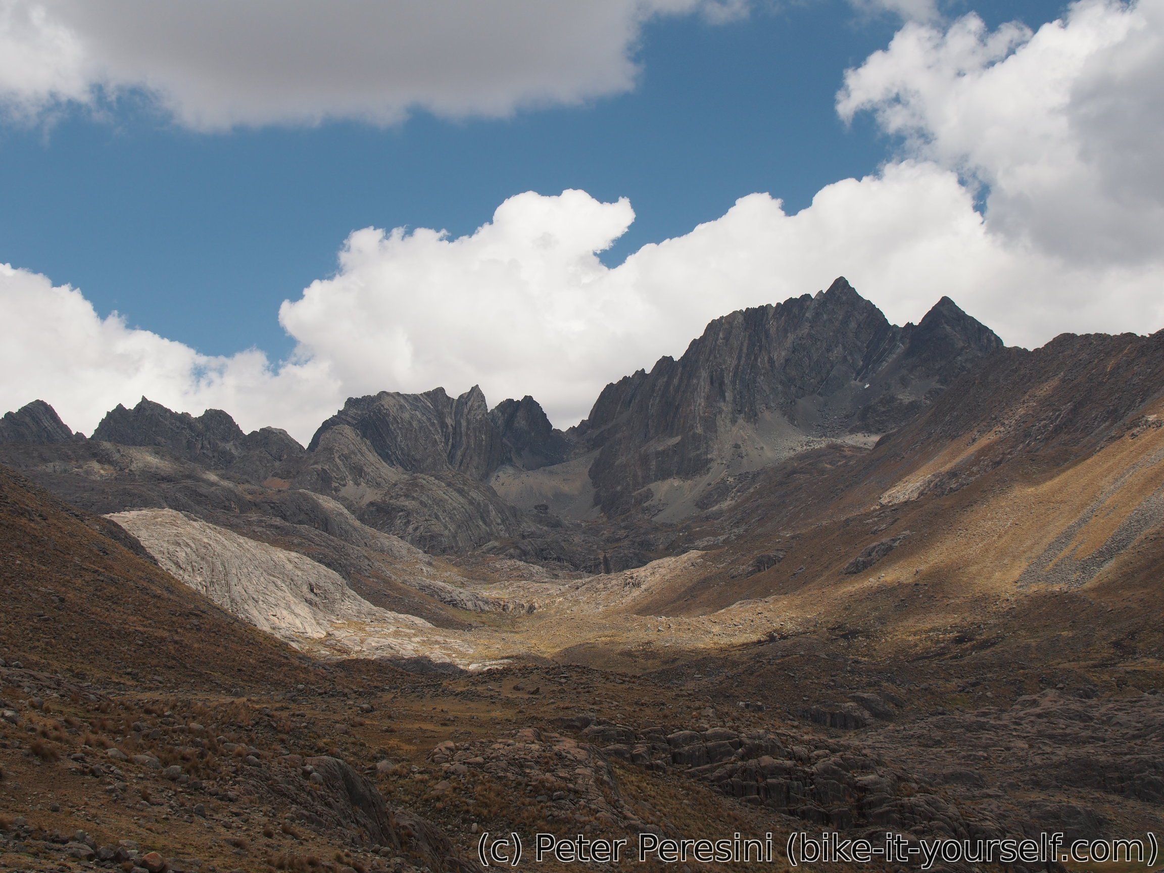
"Reserva Paisajistica" literally means a "scenic reserve" -- and they were damn right in naming it so. As soon as I spot the snow-capped peaks of mountains on the edge of the reserve I know this is going to be a stellar day even before climbing Punta Pumacocha. As if this wasn't enough, I am passing a very bizzare red mountain on my right.

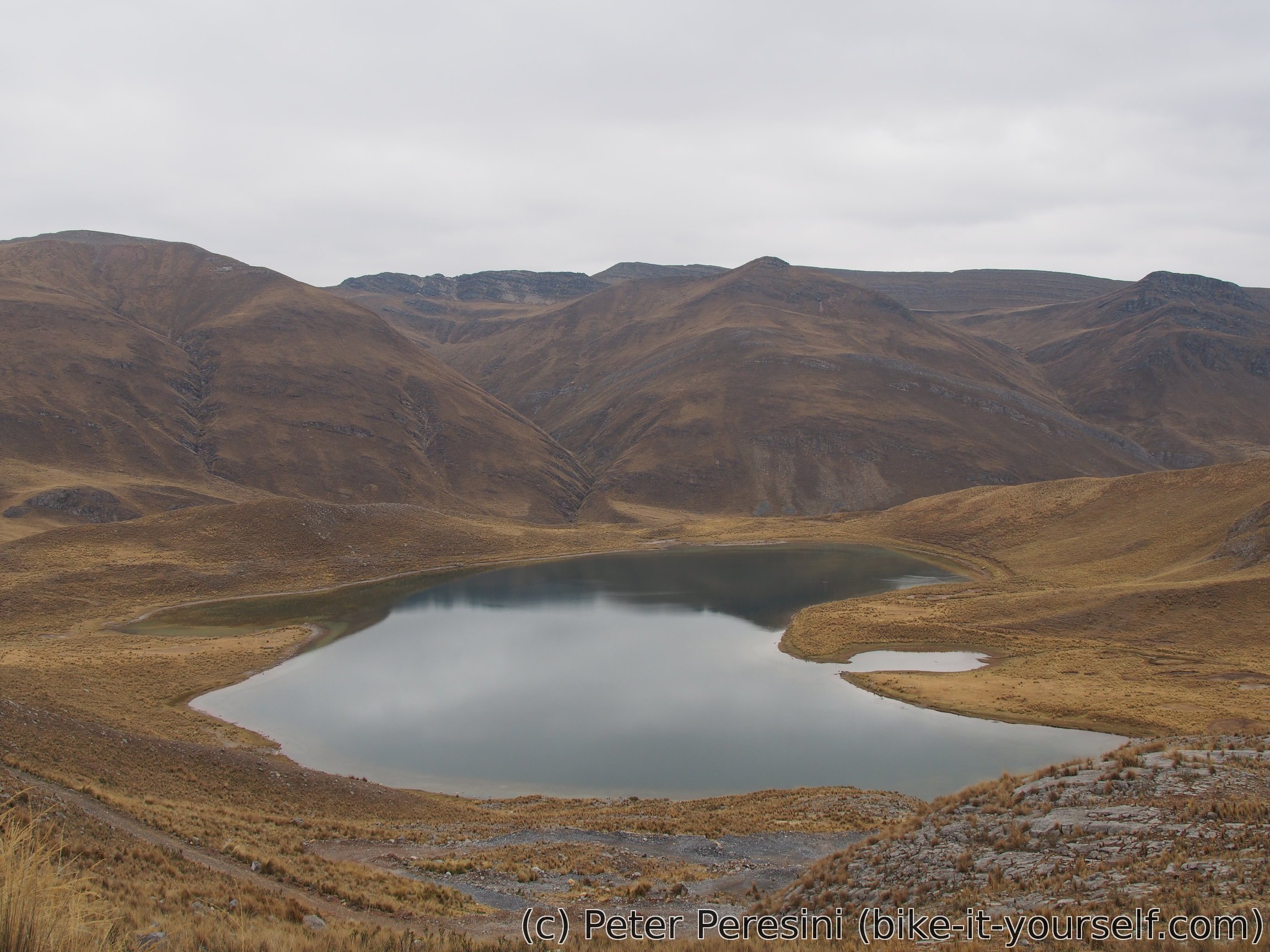
As I close in on Reserva Paisajistica Nor Yauyos-Cochas the mountains get even bigger. And a large lagoon appears. This is where I figure out that Punta Pumacocha won't be an easy task. I get a good look of a steep road climbing on a mountain before me and I am not that elated now.

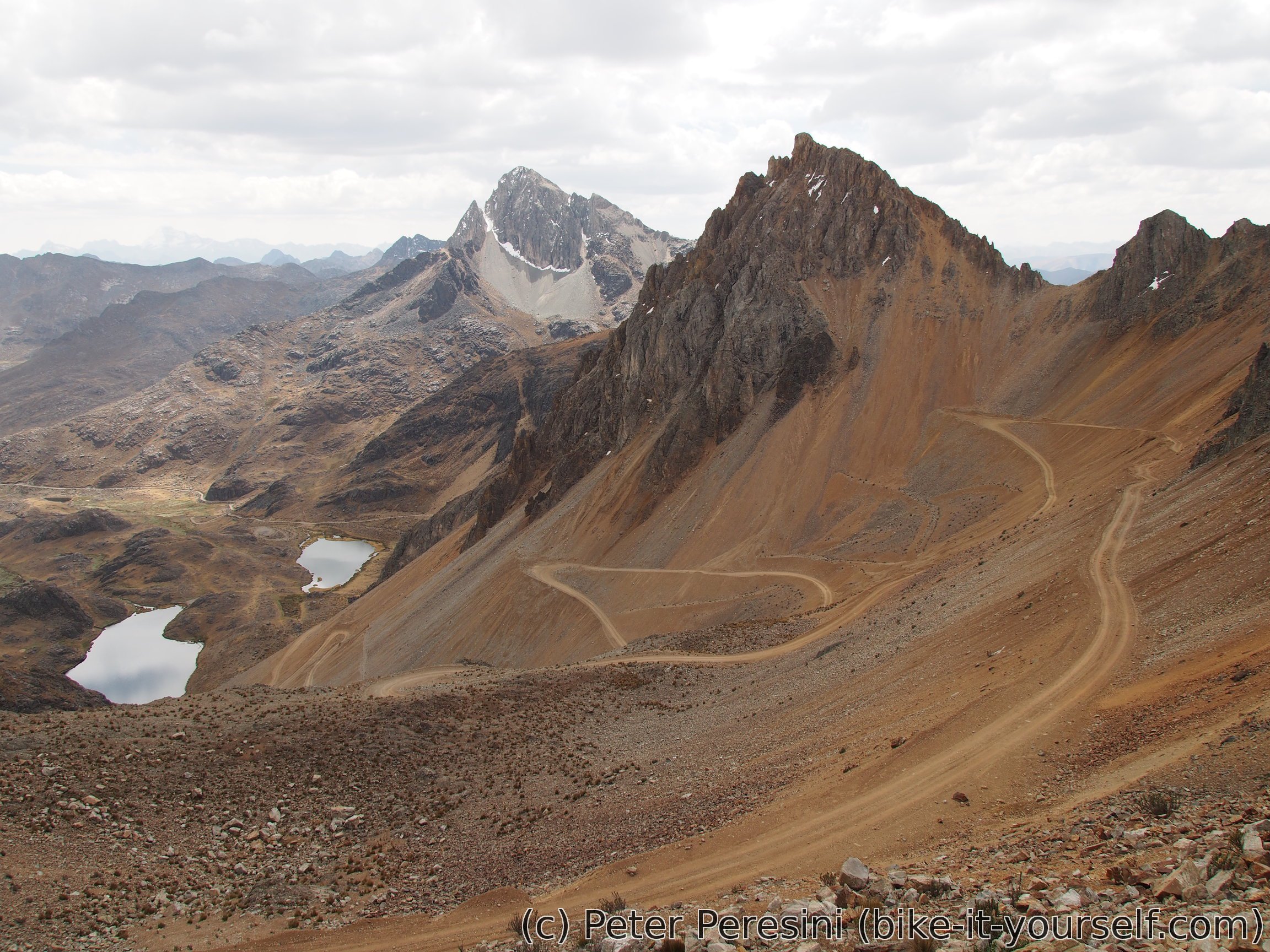
The climb to Punta Pumacocha is a huge massacre -- the last 300m of elevation are just darn tough. The road first starts with a two-switchback ramp which is very steep though doable. Passing along a small lagoon with a bit of an easier section the road starts climbing crazily again. Unfortunately, by now (150m below the pass) the surface turns into a huge mess of loose gravel and rocks. It is impossible to keep balance on this section so I end up pushing.


Just 50m below the pass I call a tactical break. I am trying to catch my breath and my heart is rapidly pounding just by pushing the bike a few meters at a time. So I sit down and replenish some quick sugar energy while I am waiting to calm down.
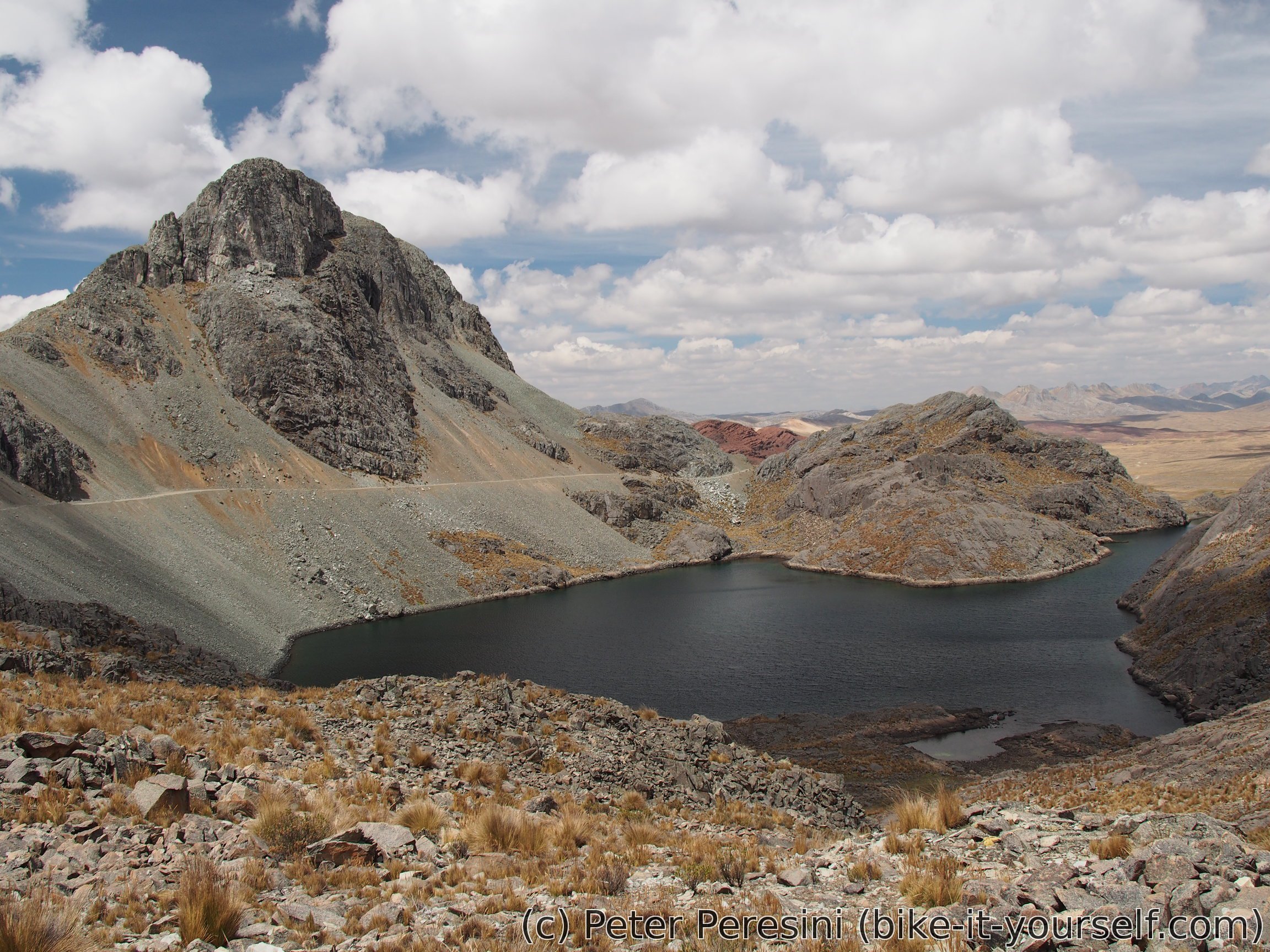
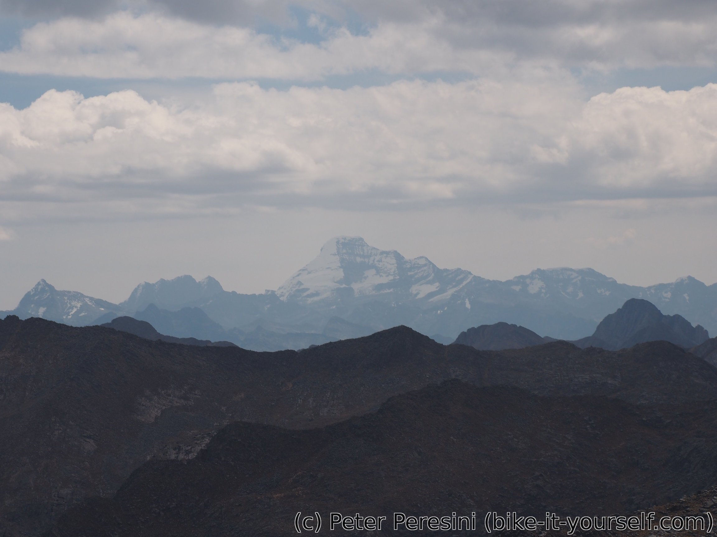
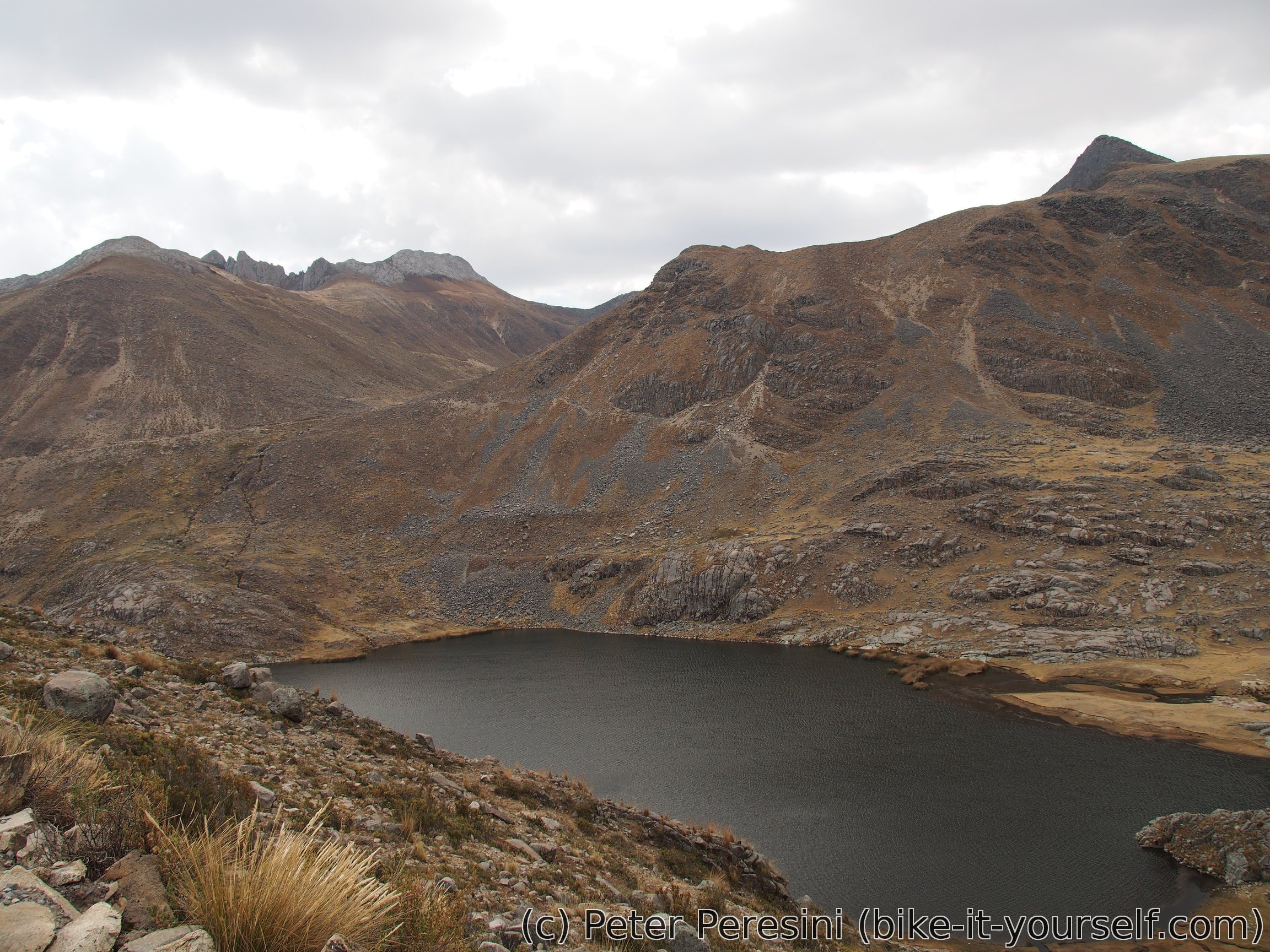
I would like to say that I did the final 50m of elevation to Punta Pumacocha in no time. Unfortunately, I would be lying. While the break helps I still quite struggle to finish the job. But when I finally reach the top of this punishing pass the day just gets a lot more brighter with the views of the other side. Crazy winding road leading down to a deep valley, peaky mountains around, a few lagoons and I even get a chance to spot Ticlla mountain in the distance. I can only say one thing -- the whole painful ascent was more than worth it.
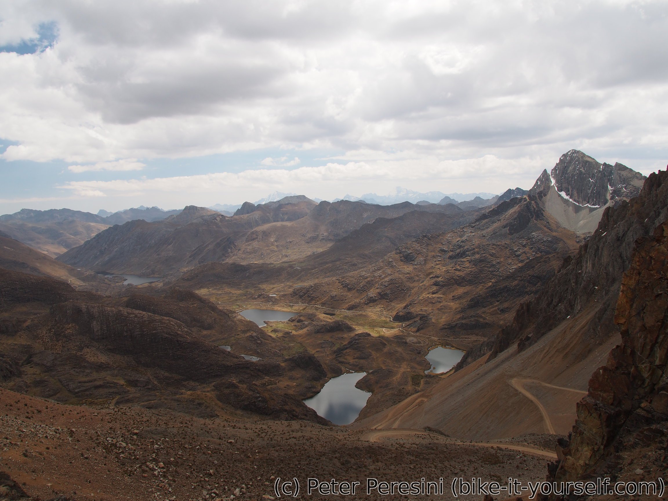
The descent from Punta Pumacocha is no less impressive than the ascent. Although, frankly, I am looking more on the road than the great scenery around -- similarly to the ascent the road is riddled with loose rocks of all sizes and the ride is quite technical. This finally improves around Laguna Pumacocha.
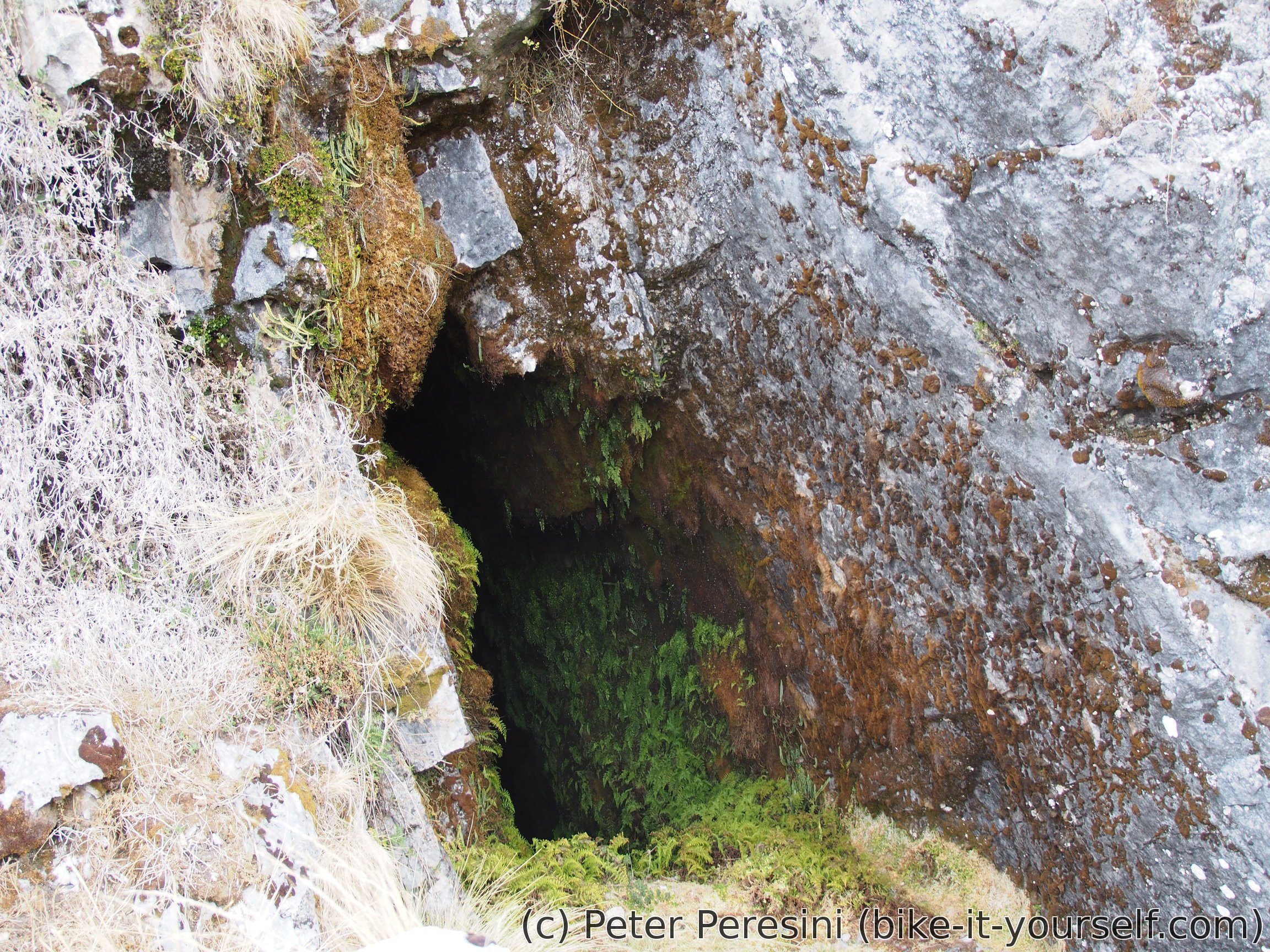
From Laguna Pumacocha I continue descent with an improved speed just to be interruped by a sign noting some cave. So I make a small hiking detour to Cueva Pumacocha which boosts some impressive stats being 1.4km long and 600m deep. Unfortunately, the cave opening isn't easily accessible so I just look at the black opening from a distance.
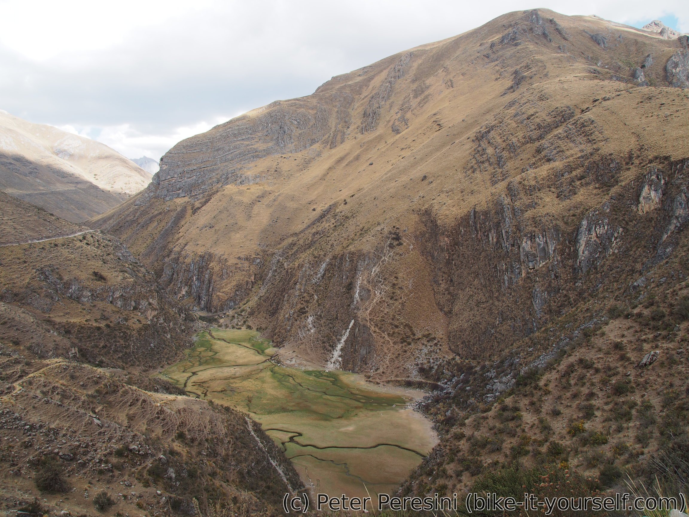
Resuming I quickly descend to the "main" road. From here the road skirts one side of a deep valley with some deep ravines to watch. As I descend lower the vegetation changes from plain rocks through dry grasses until I end up with an agriculutral land.

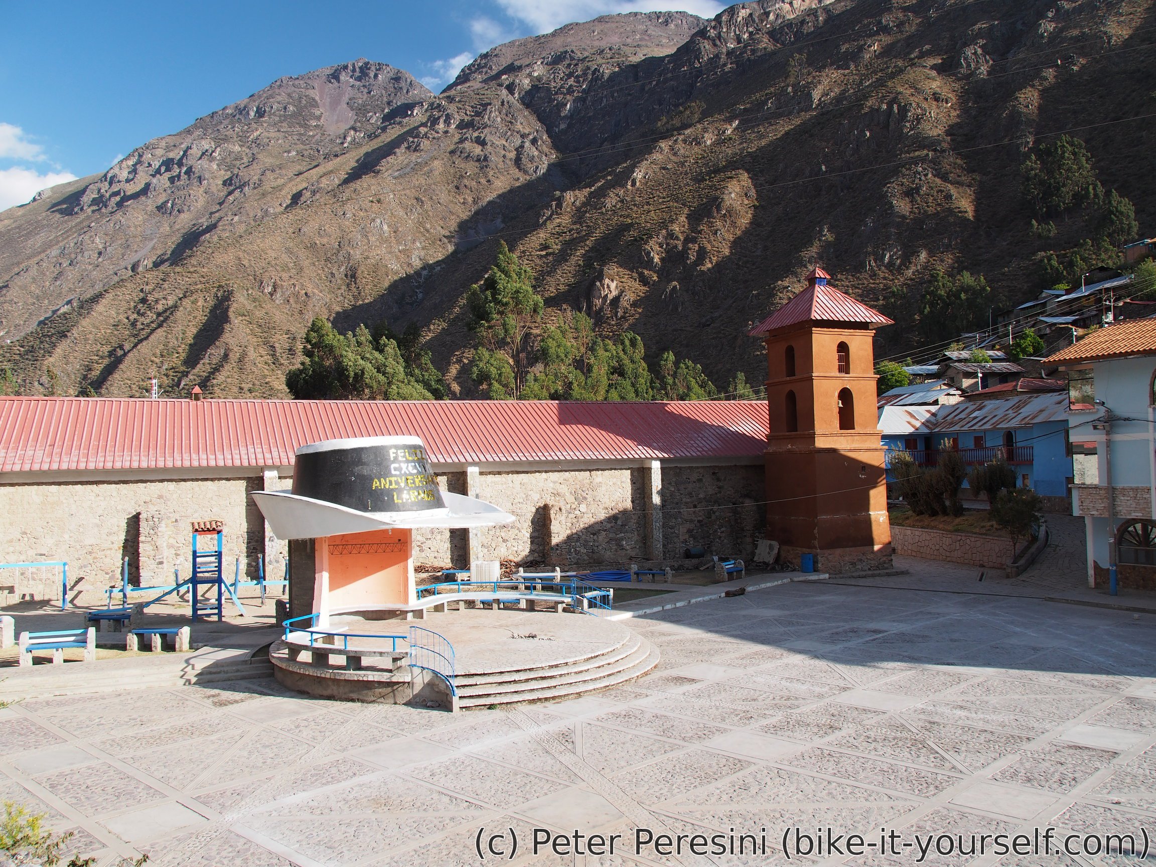
Just before Laraos there should be a water dam. I am therefore a bit puzzled when I don't see any water. Instead, there is an empty mud-looking ground. I guess they completely drained the dam. A kilometer or so more and I find myself in Laraos. From the notes I had a feeling that this is a decent-sized town. Well, my imagination was wrong -- Laraos is a small village with not much in it. The smallness of the village is more than compensated by the hill it is built on. If you want to check out the topmost part you are up to some serious stair climbing. Here I find a hospedaje though no internet shop -- it looks like the only connection is in the municipal building which is closed right now.

Route
Download simplified GPX of a route here
Stats by activity:
| Activity | Distance (km) |
Ascent (km) |
Pedal rotations (thousands) |
|---|---|---|---|
| bike | 121 | 2.4 | 39 |
| stroll | 0 | 0.0 | - |
| Date | Distance (km) |
Ascent (km) |
Avg. temp (moving, C) |
|---|---|---|---|
| Aug. 24, 2017 | 25.0 | 1.04 | 14.3 |
| Aug. 25, 2017 | 46.7 | 0.64 | 11.9 |
| Aug. 26, 2017 | 49.4 | 0.72 | 11.5 |
Elevation data
The next table is only for cycling activity.
| Grade(%) | Ascent (km) | Descent(km) |
|---|---|---|
| < 2 | 28.4 | |
| < 4 | 6.9 | 8.6 |
| < 6 | 6.9 | 6.2 |
| < 8 | 4.3 | 6.9 |
| < 10 | 2.9 | 3.9 |
| ≥ 10 | 3.8 | 7.3 |
Buy Bentyl 10mg Badype <a href=https://bansocialism.com/>cialis</a> Nurify viagra soft generico
<a href=http://vsviagrav.com/>viagra