
Abancay to Soras
 Share:


From Abancay my route continues towards a nice historic town of Vilcashuaman. In principle there is a semi-direct road to Uranmarca and then to Vilcashuaman. However, Pikes' extensive notes mention that this road is missing a bridge over a major river. As the notes were written some time ago I tried to do my extensive research but failed to ascertain (with enough confidence) the existence of the bridge -- I found a document indicating that the authorities signed building the bridge in 2016. But I was unable to find any news of its completion. Defeated by my shortcut-planning failure I had to revert to good old Pikes' route which makes a bit of a detour.
August 6
In the morning I visit Cruz del Sur again, this time re-sending my unnecessary crap to Huancayo. Next is a breakfast and then I am finally ready to start a long day.
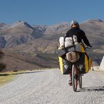
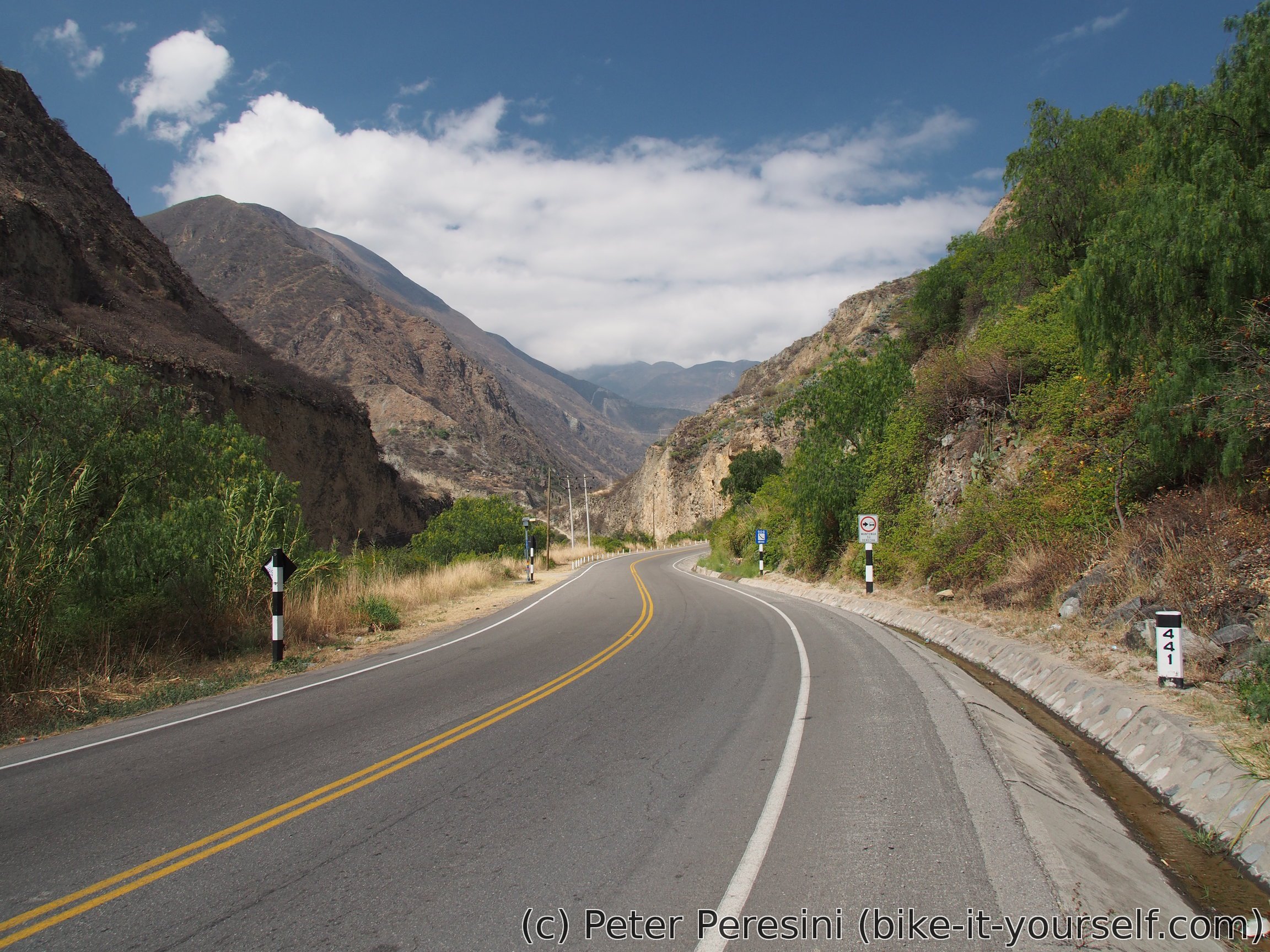
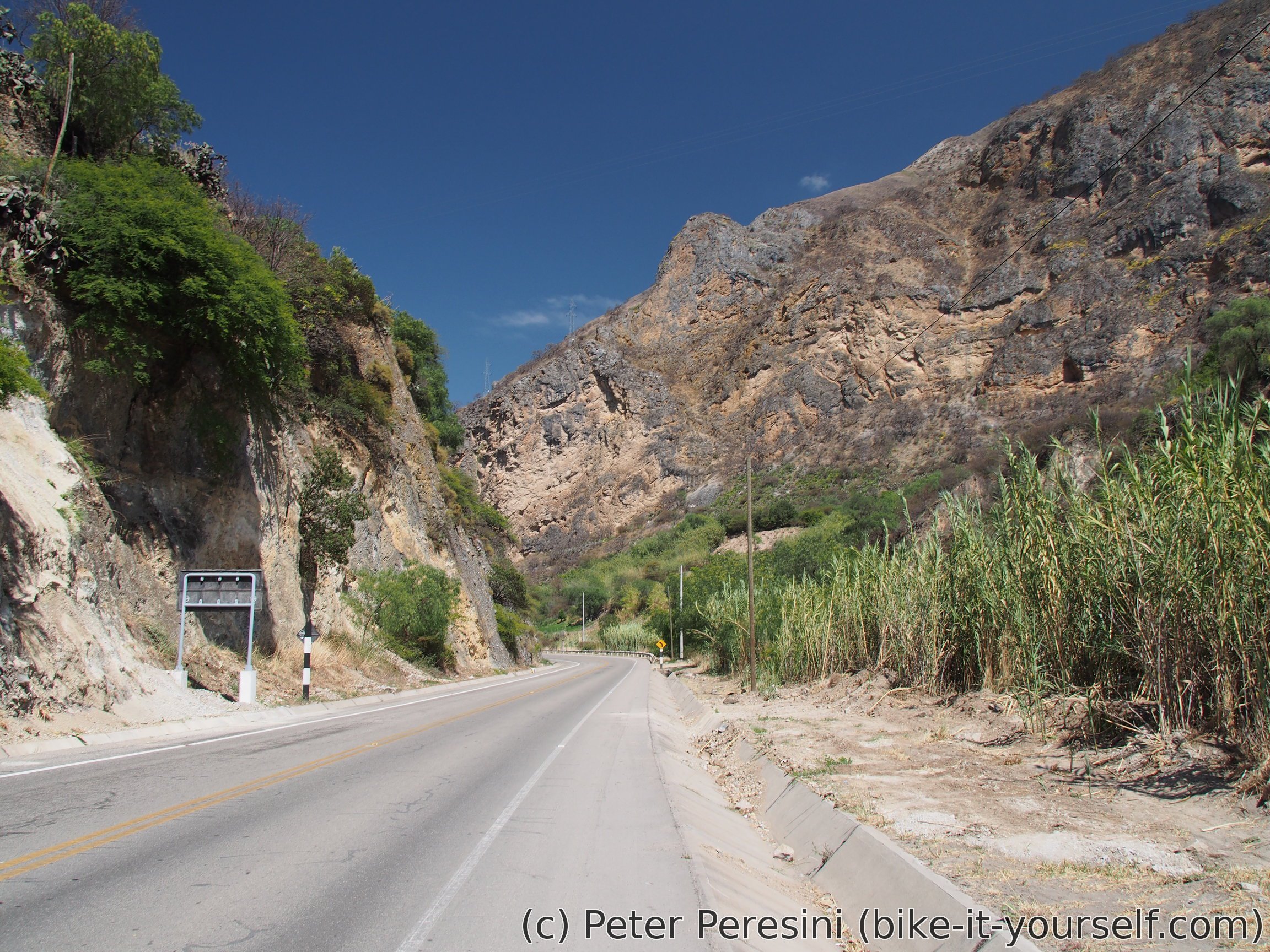
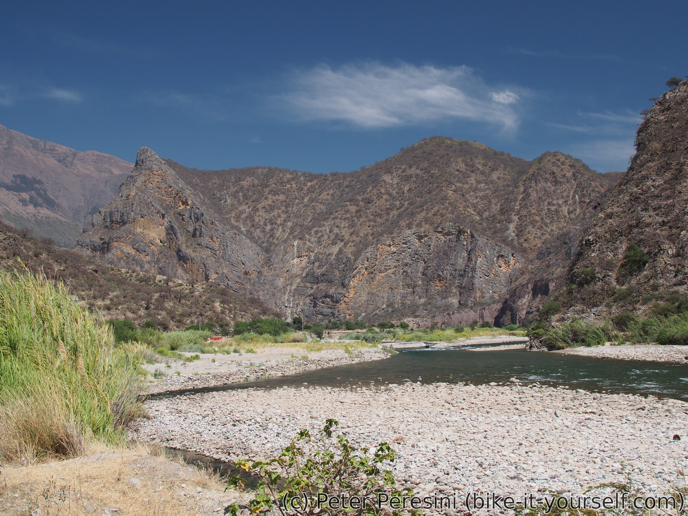
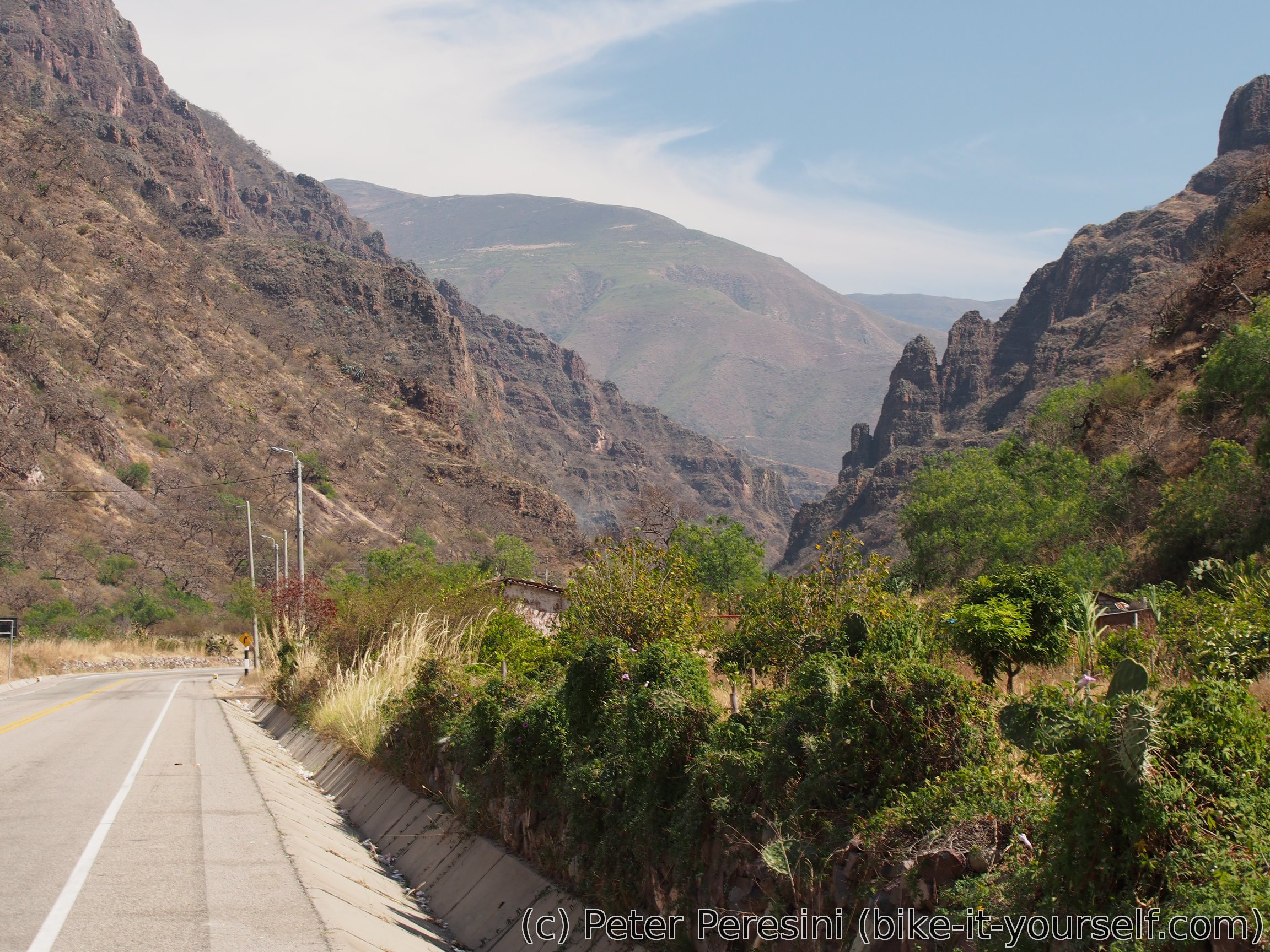
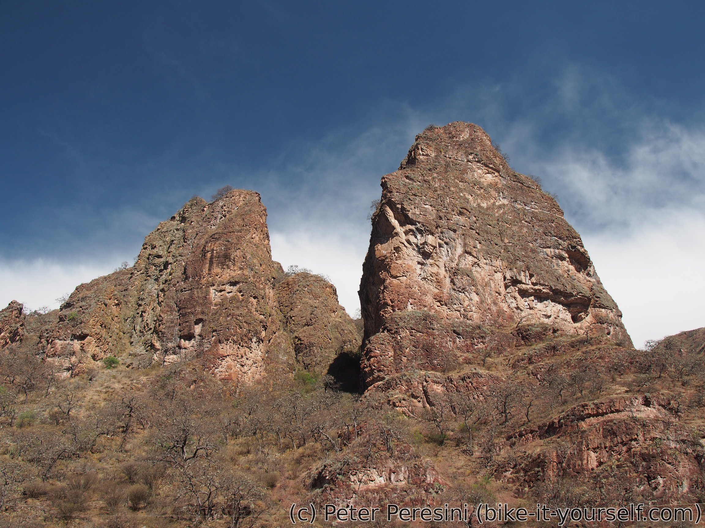
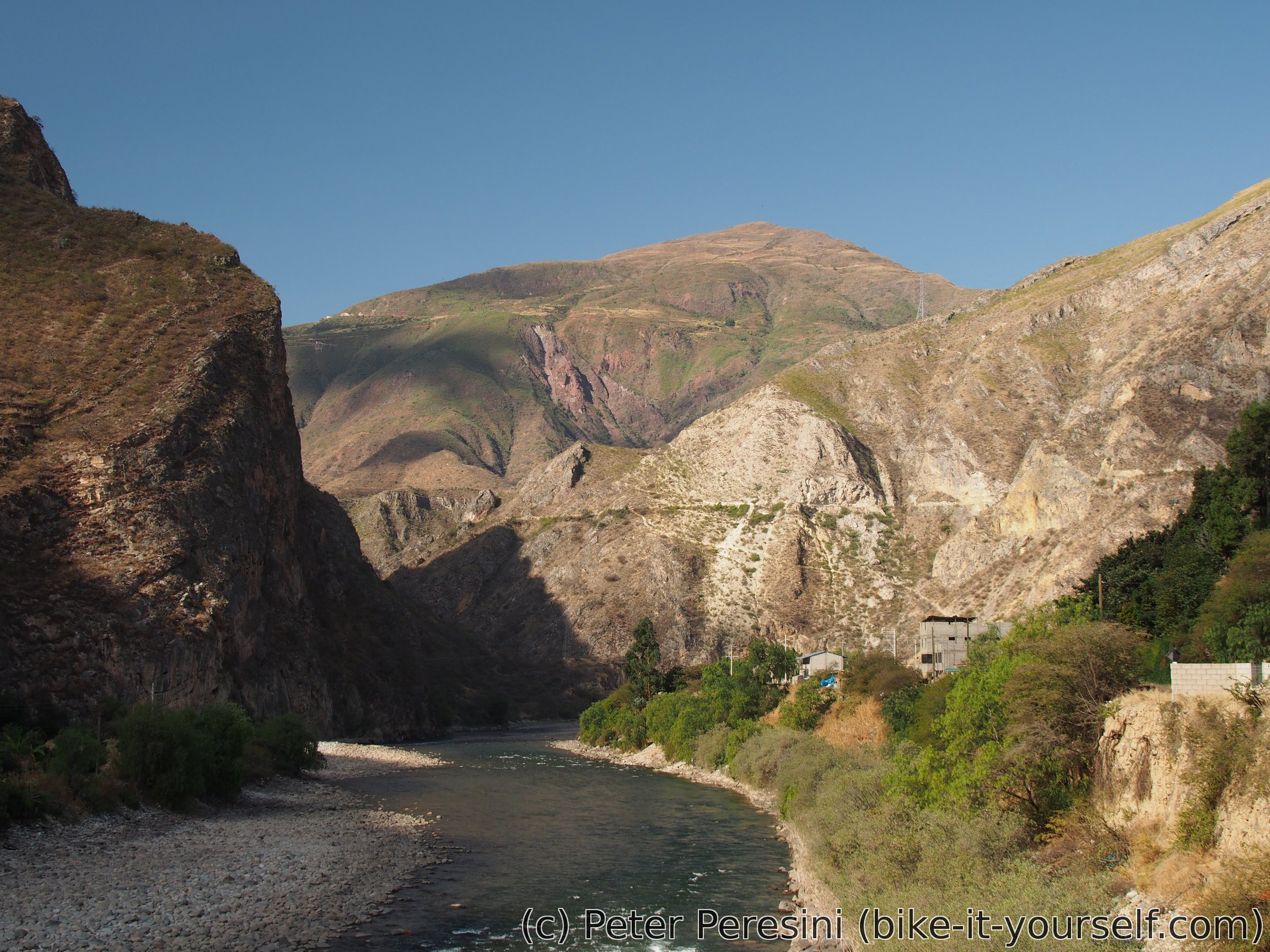
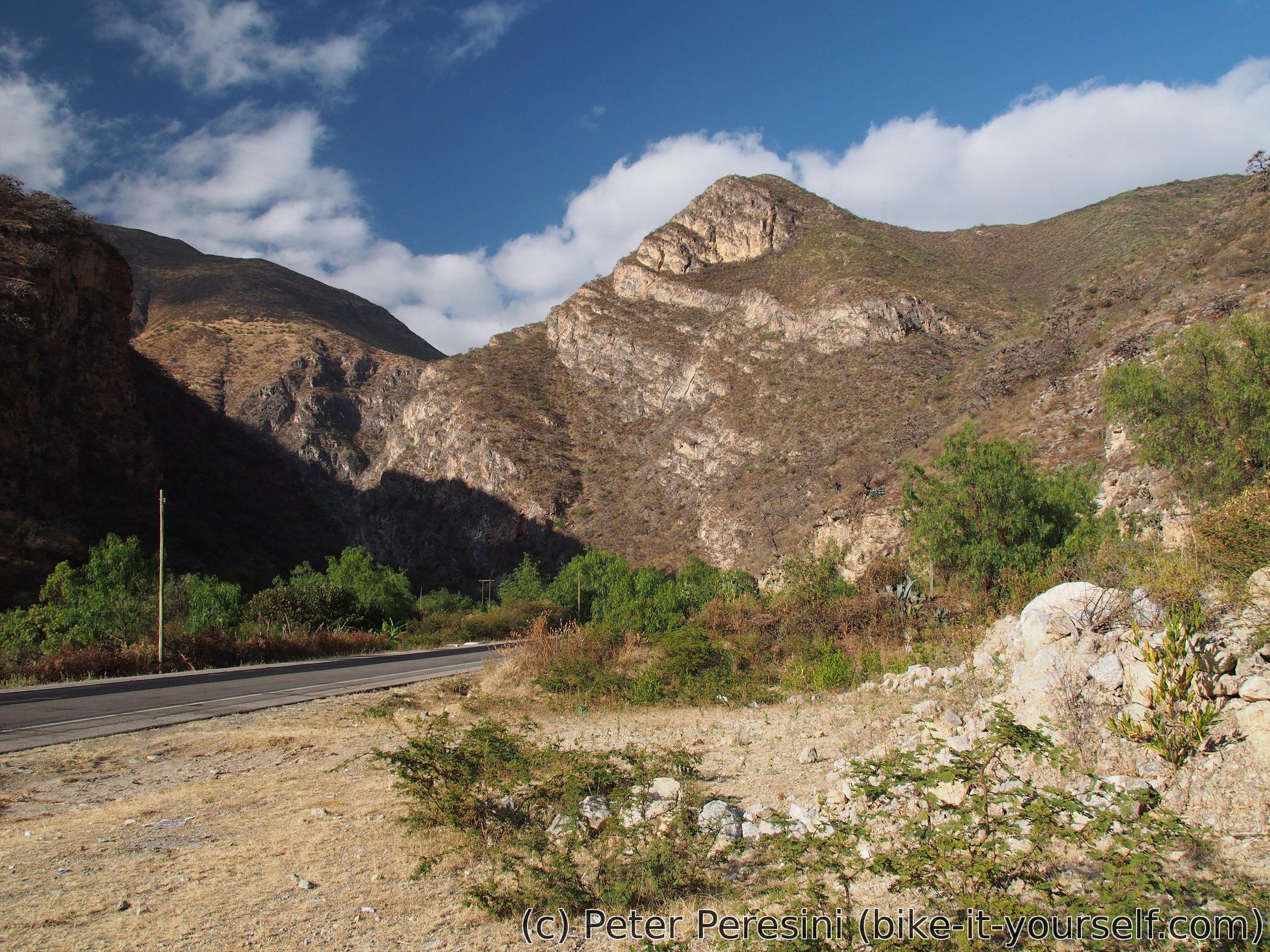
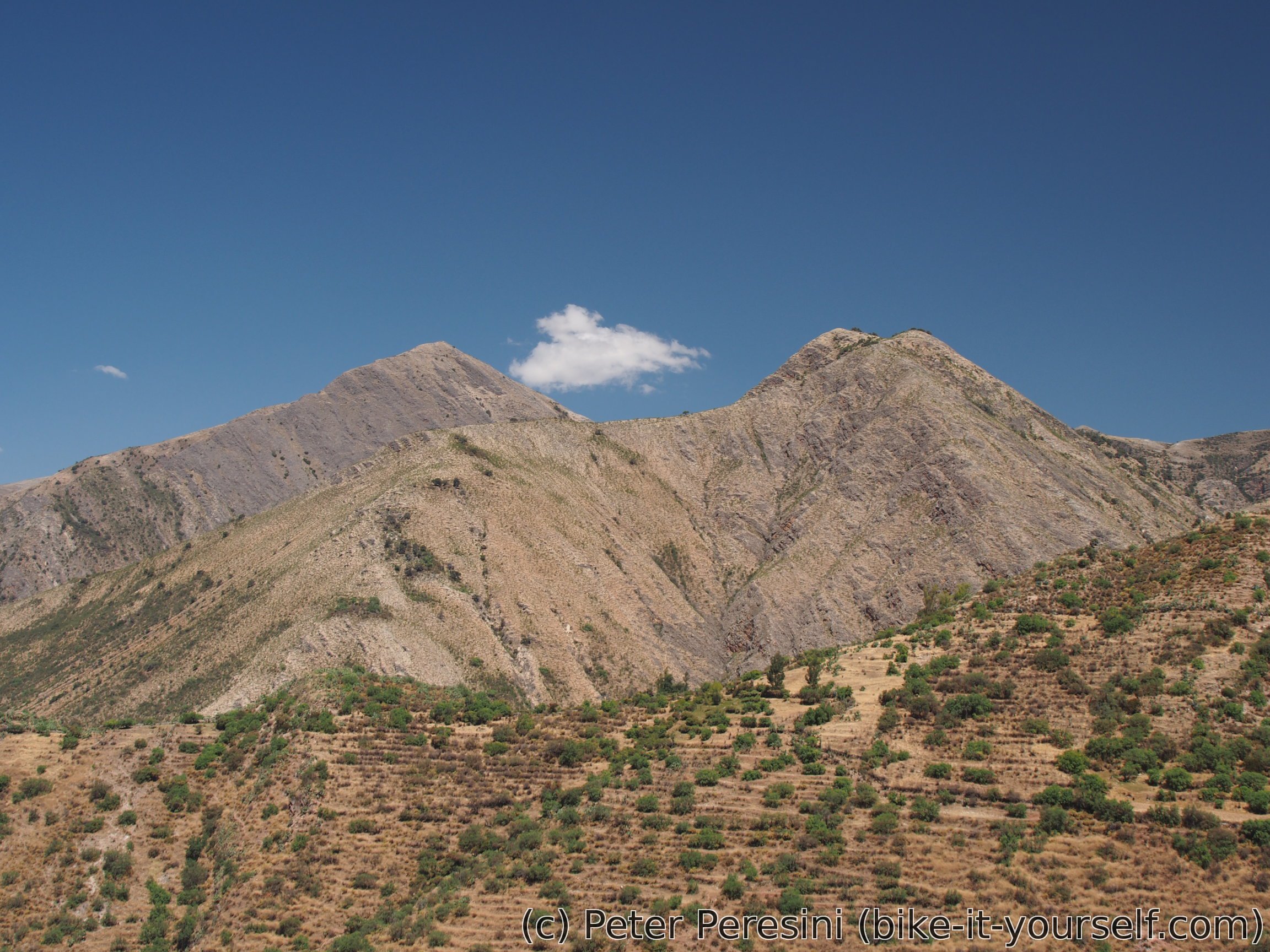
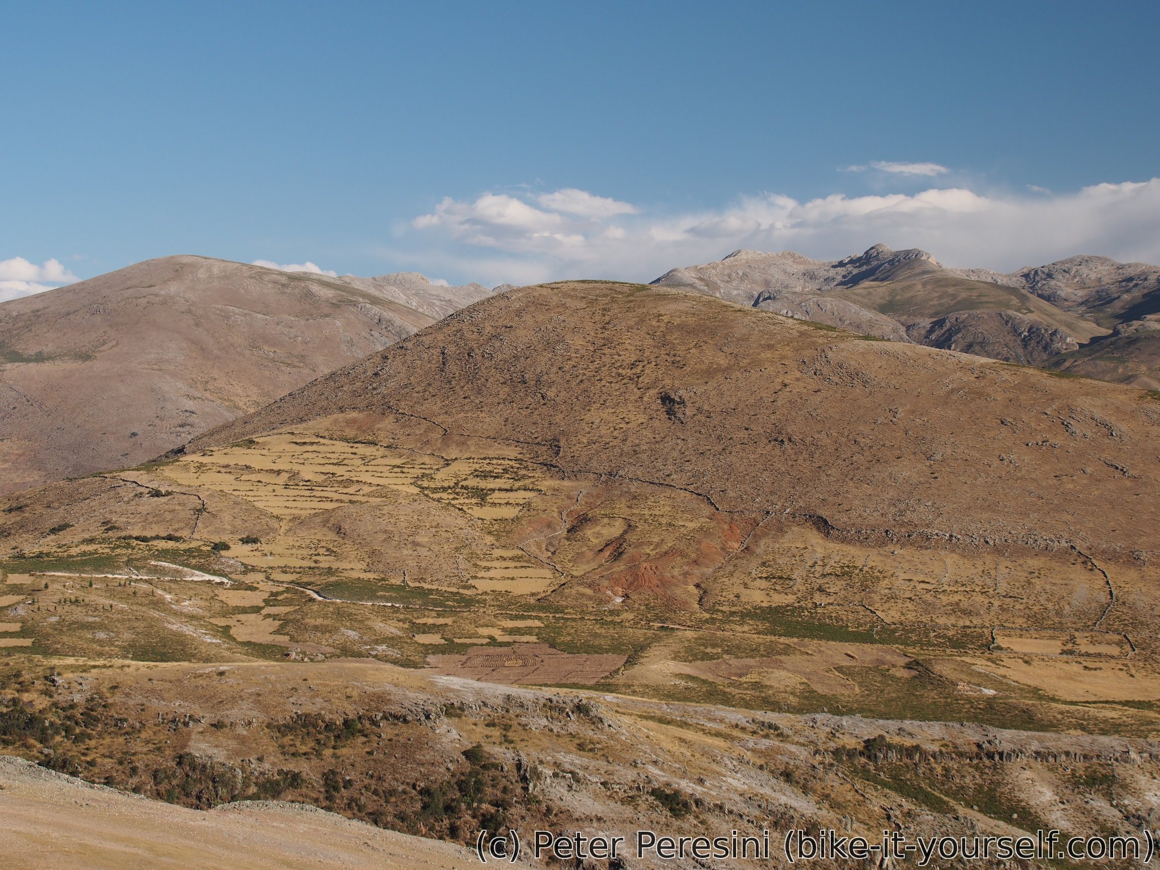
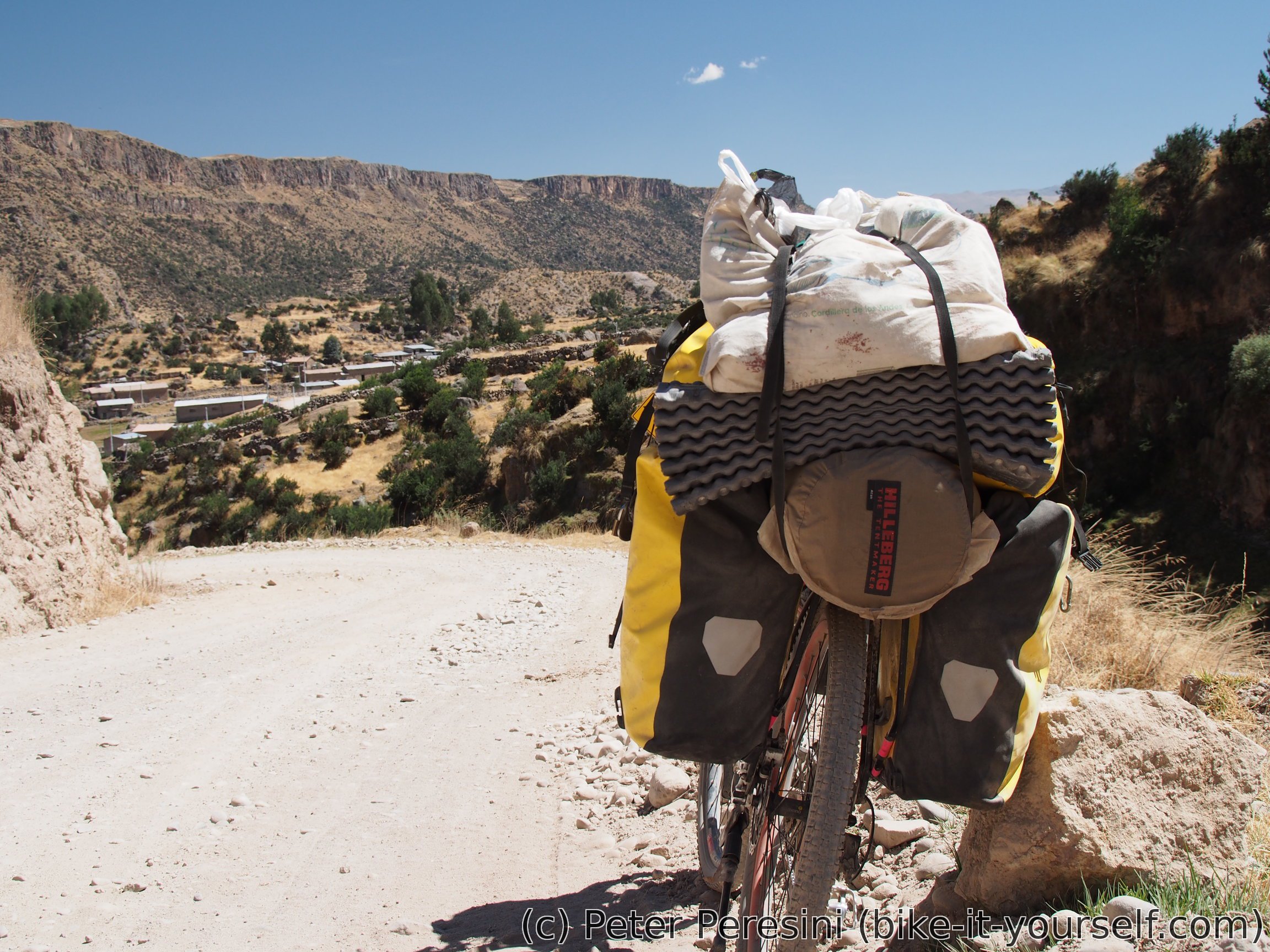
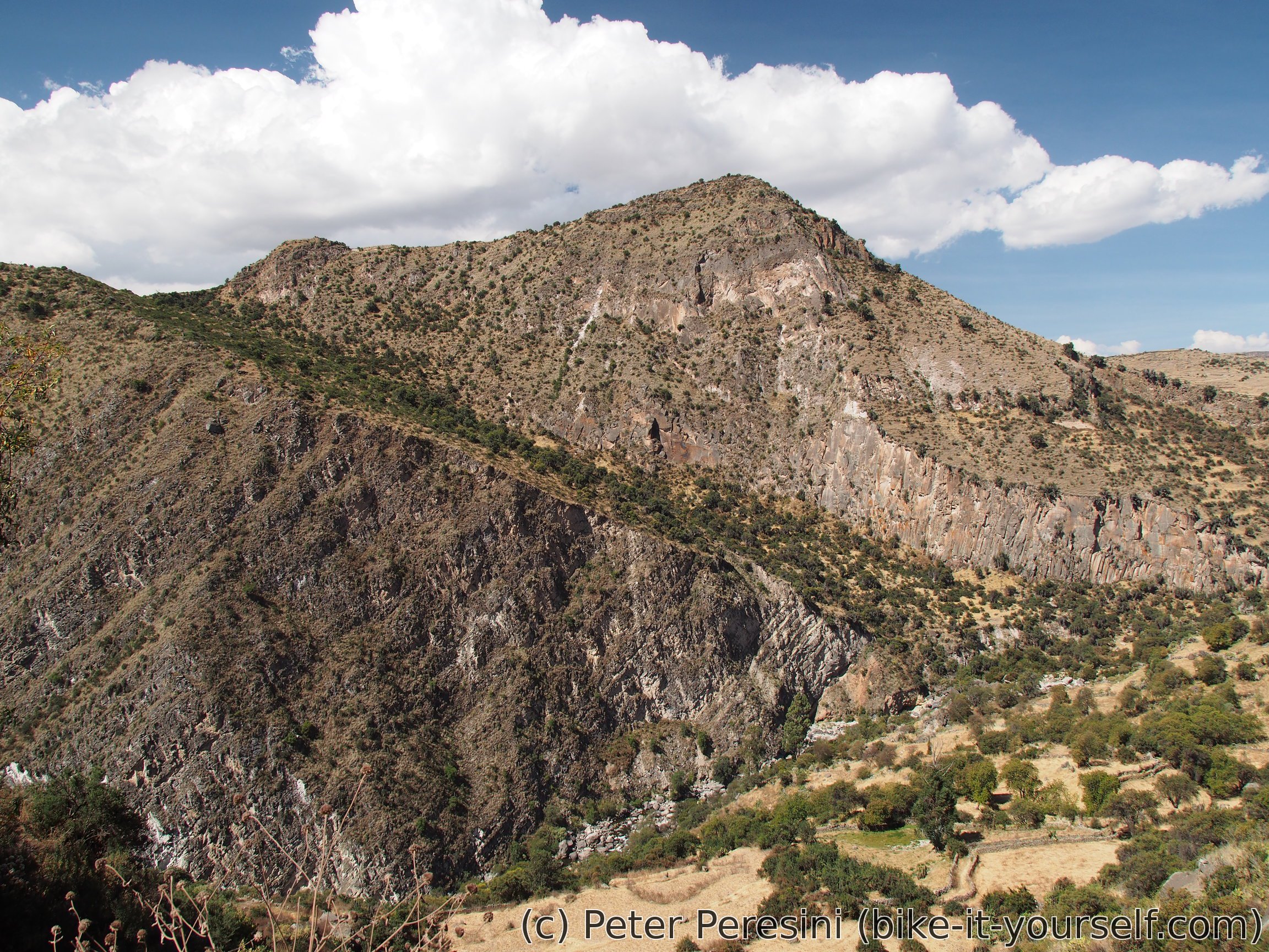
I first get back from Abancay to the gas station where I tried to fix my flat. The descent is whizzing fast and in no time I find myself back in need of pedalling. Fortunately, the ascent is very gentle (and undulating). Adding to it a fact that all of it is nicely paved, my average speed is surprisingly fast. The scenery is also better than expected -- the road, which goes in a long and sometimes steep valley, is surrounded by rocky mountains. And with a blowing wind the heat is survivable as well.
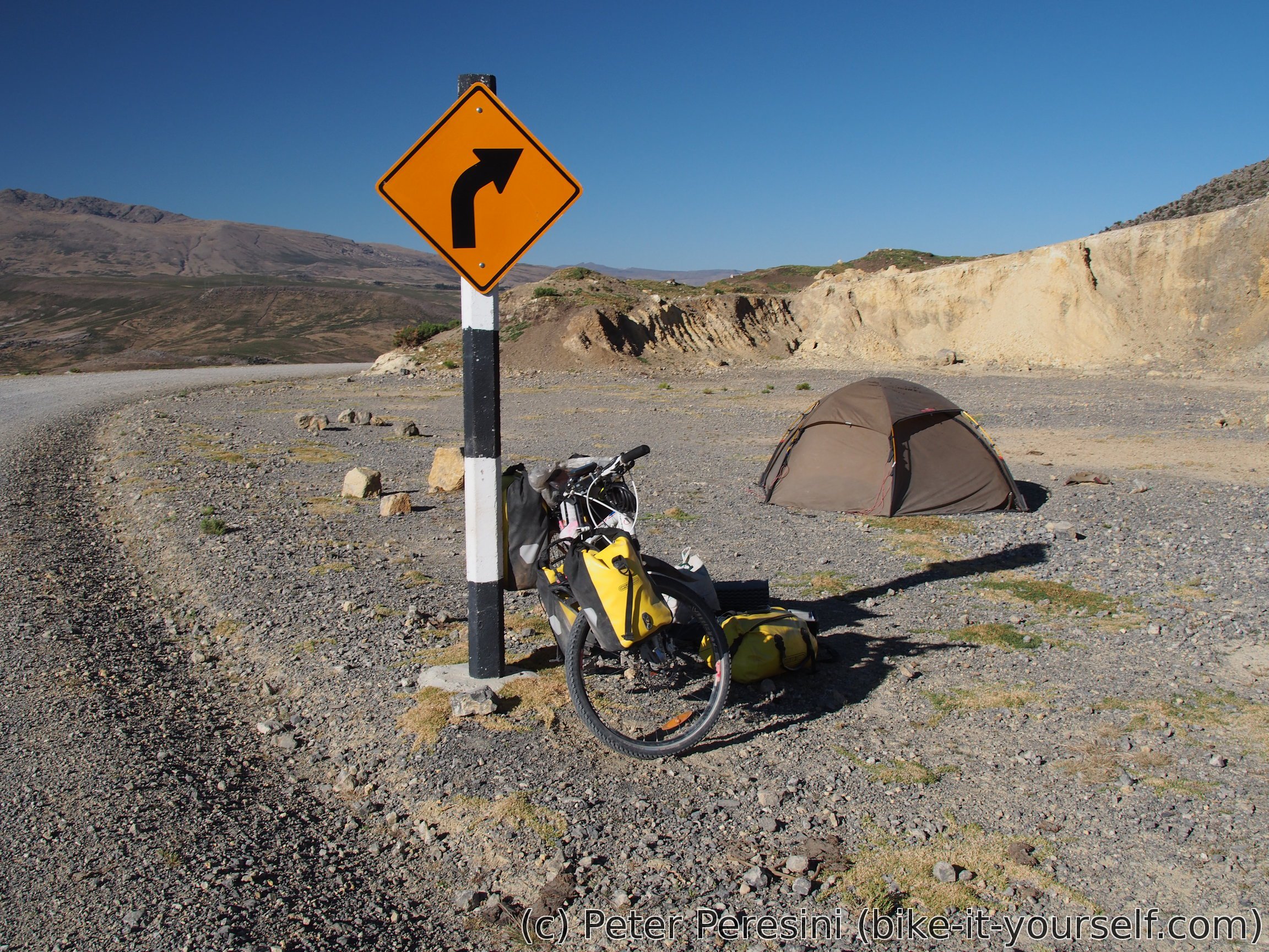
With my unexpected great speed I end up in Santa Rosa at 3pm -- sooner than expected. After a short pondering I decide that until the evening comes I can go up to the next village. Unfortunately, my guesstimate that there would be a hospedaje is off. Instead, I end up getting water and continuing just a bit after the village where a short side-road gets me a bit off-the-eyes and noise of the road.
August 7
With warm and dry morning I quikly pack my tent and start cycling. The plan is to cycle past Zañayca to about 3600-3800m so that tomorrow I can reach Autuma.
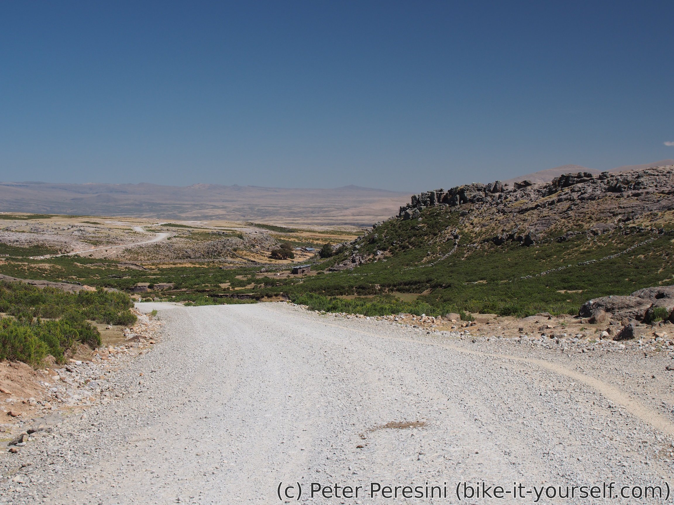
Similarly to yesterday, the road is paved with gentle climb. I stop by in Chachapuente to quickly restock snacks. From there I finish the last few kilometers of a pavement -- all in all I did about 20 easy and fast kilometers. This changes when the unpavged road to Zañayca branches off from the main road and heads steeply uphill.
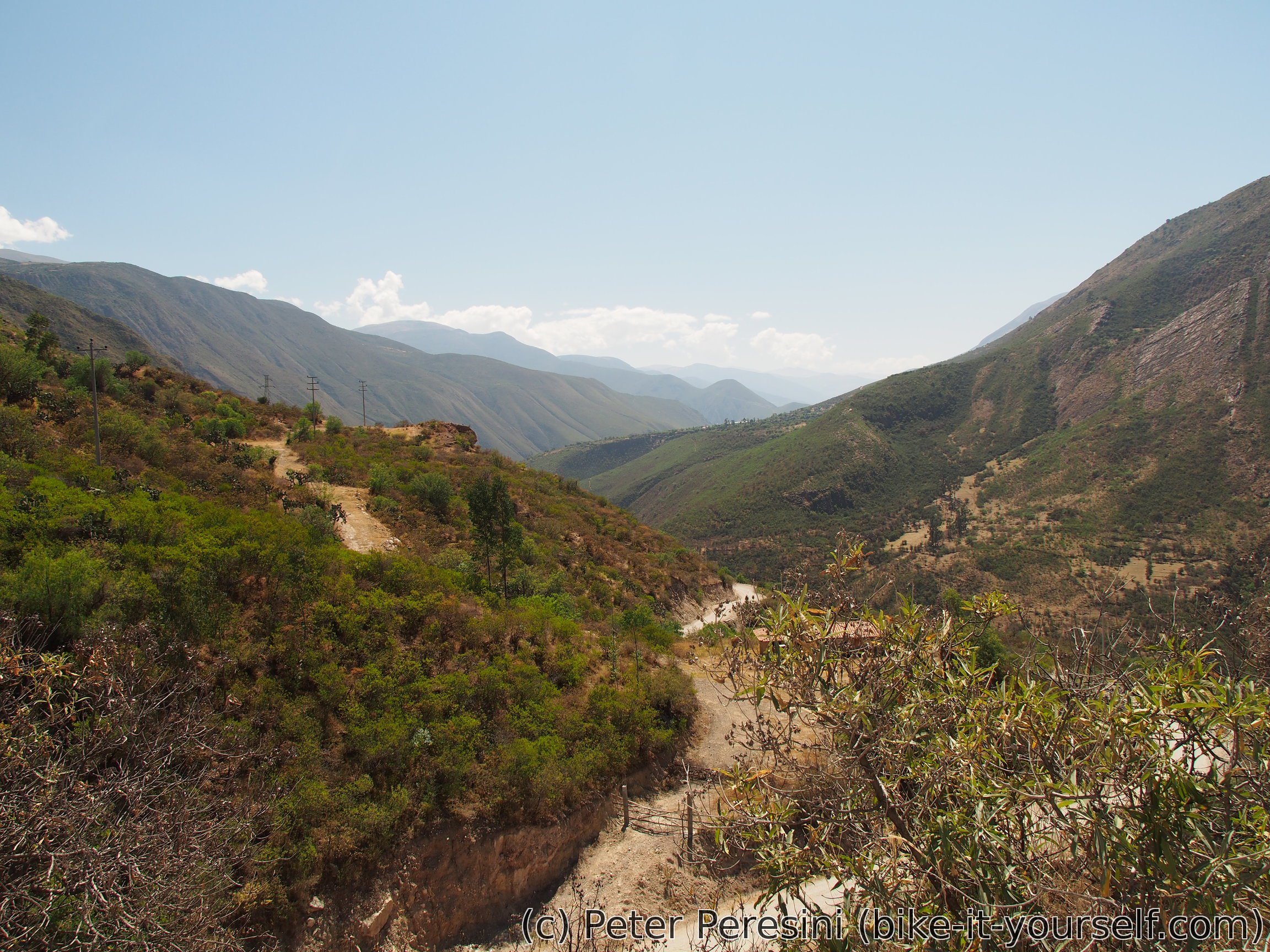
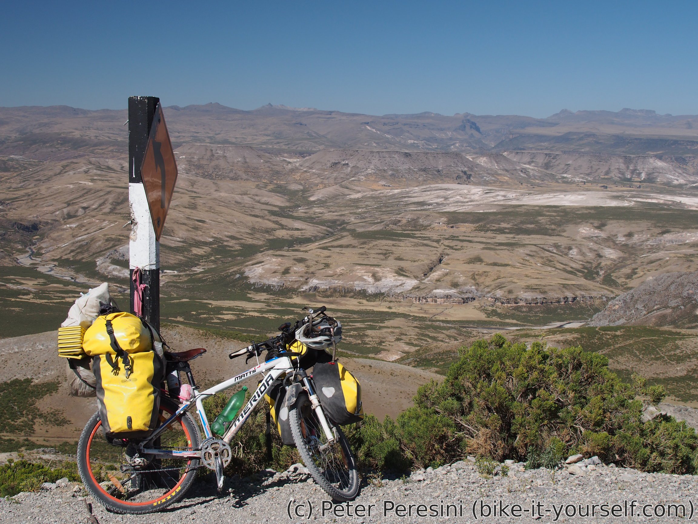
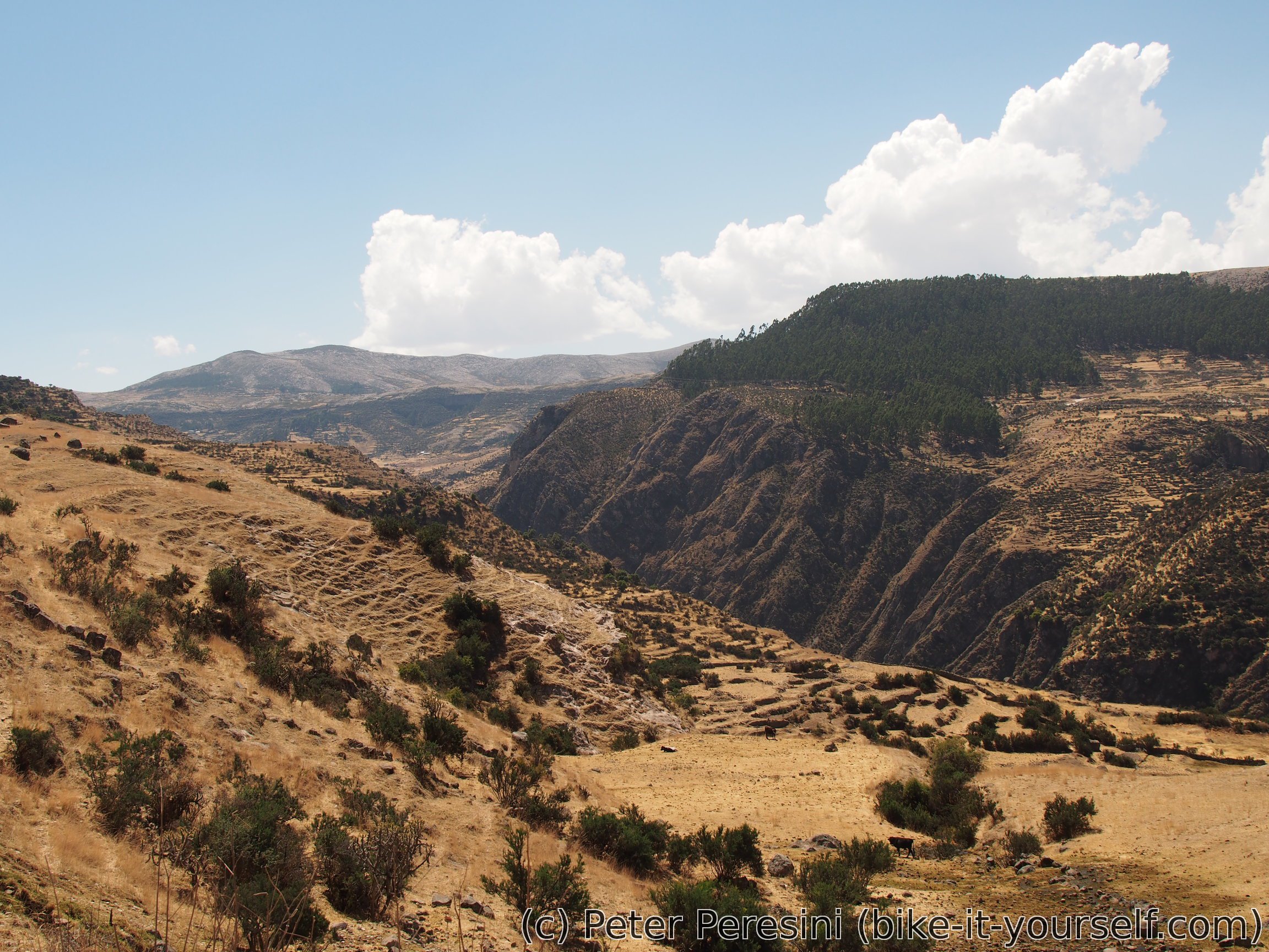
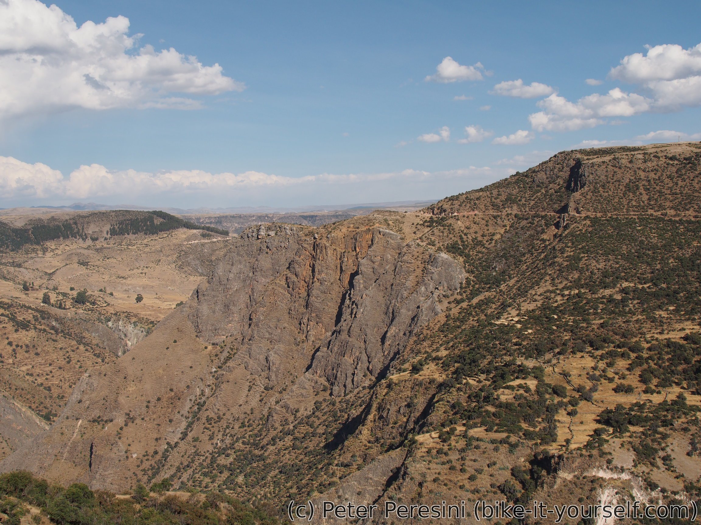
As I climb uphill the views are slowly opening revealing how deep the valley is. With the time progressing my stomach starts to show unhappiness. Zañayca being a village with a few streets on the open street map I expected it to have a restaurant. But in the village I learn that there is nothing of that sort so I end up eating through my lunch provisions.

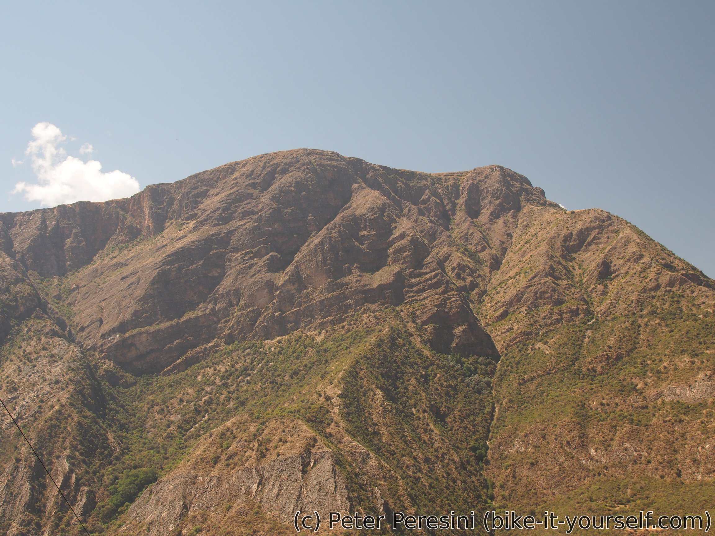
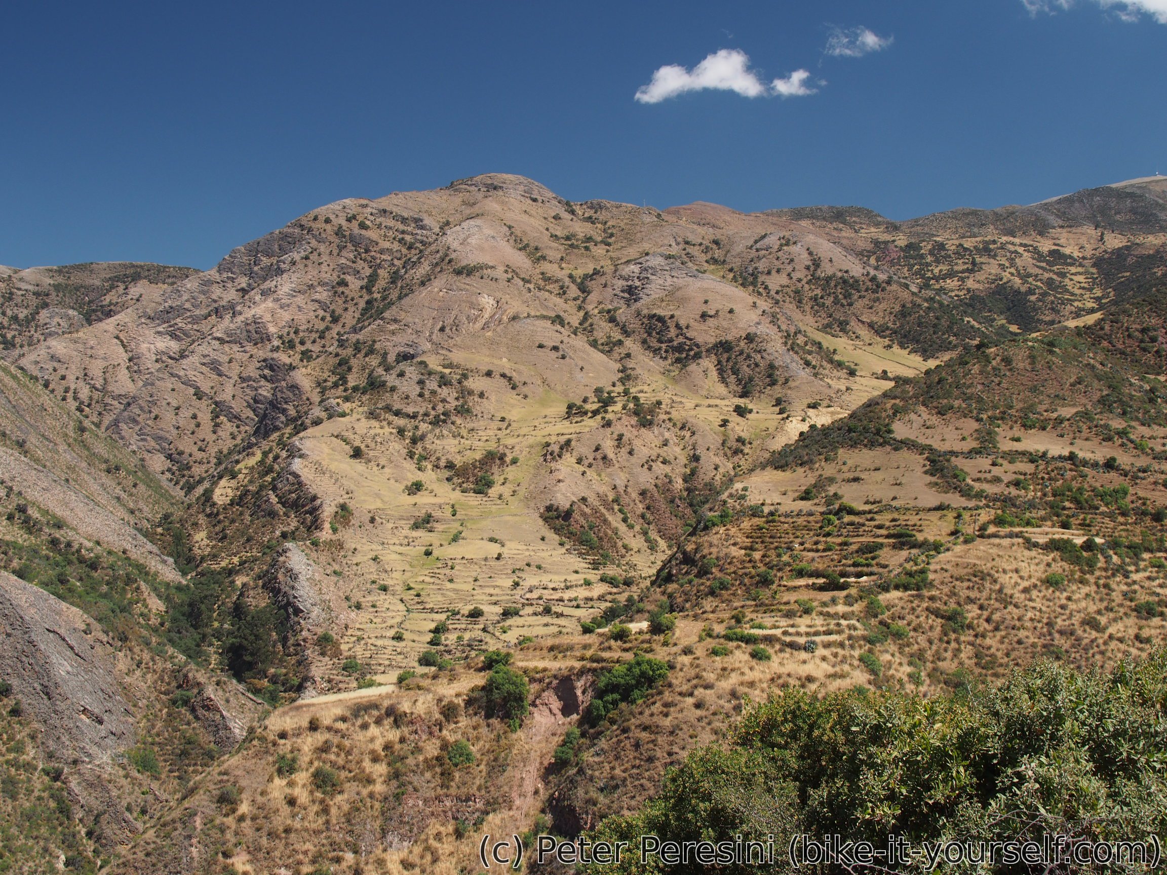
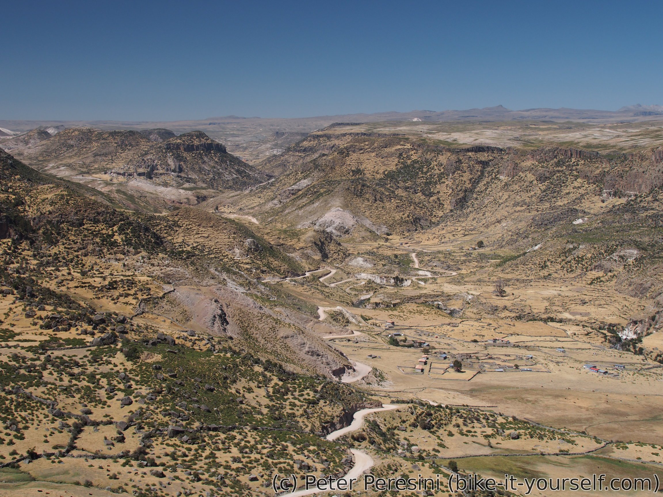
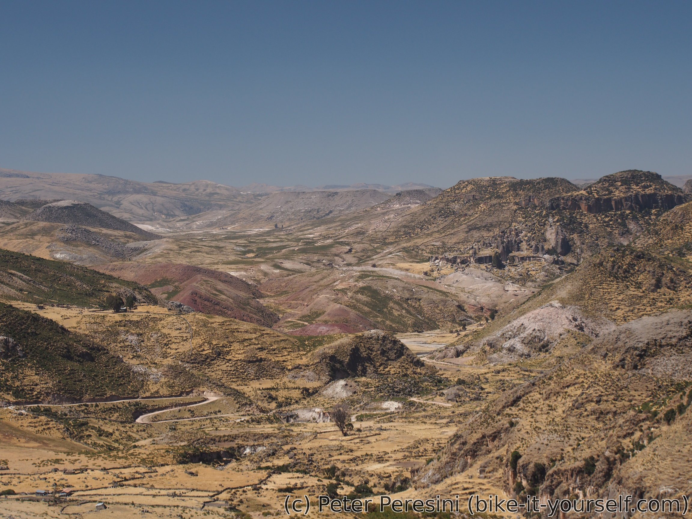
The road from Zañayca continues steeply and I slowly gain elevation. The views open even more and by the evening I see undulating high-altitude country -- by the time I setup the camp I am already at 3850m of altitude with just 200m left until the pass for tomorrow. Evening dinner is a bit of a culinary excursion -- I finally open a can of sardinas I was bringing all the way from Argentina (I kept it as a backup food in case I somehow run out of other options). Together with a tomato sauce and olivas my "gourmet" tastes are satisfied.

August 8
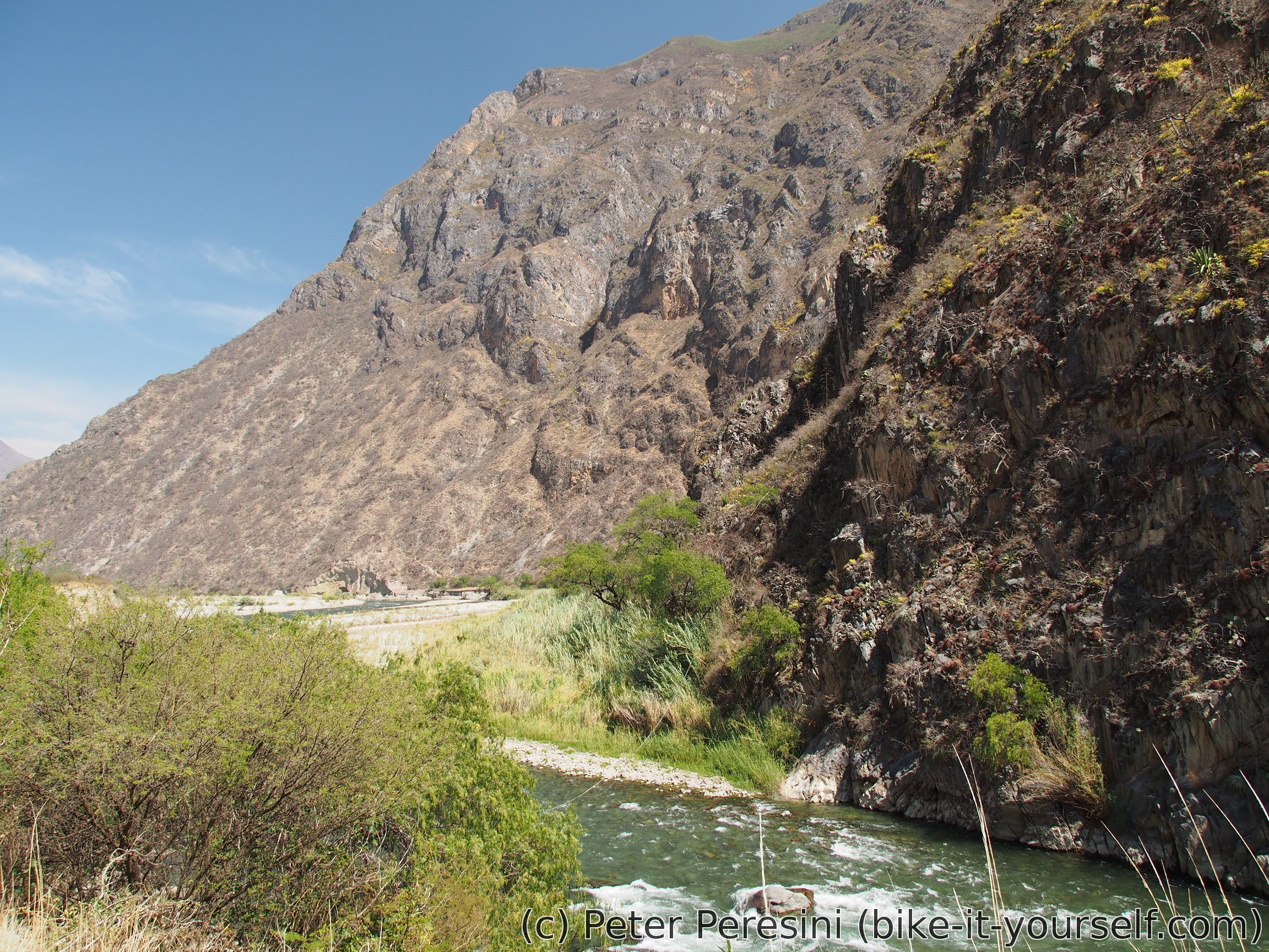
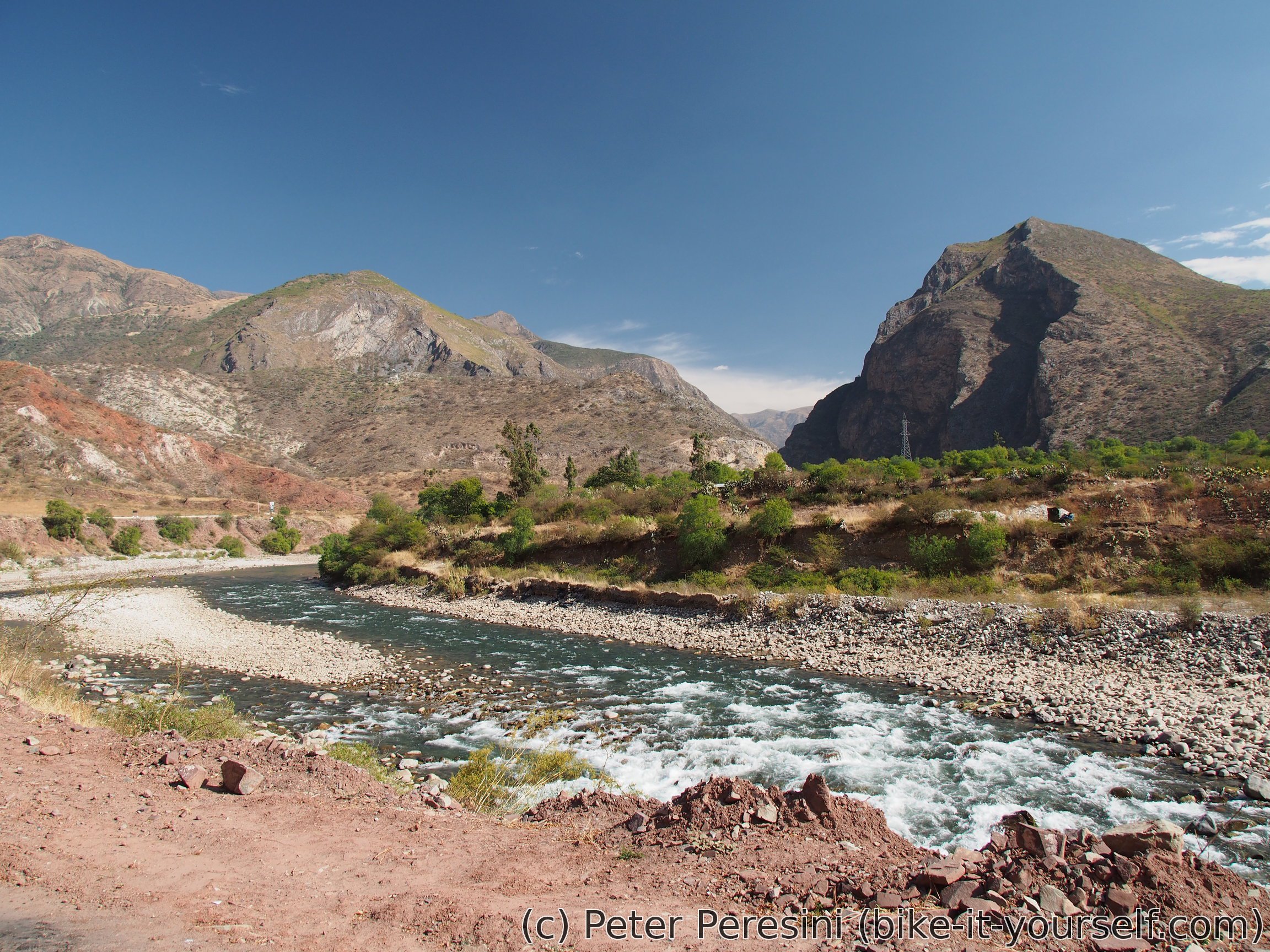
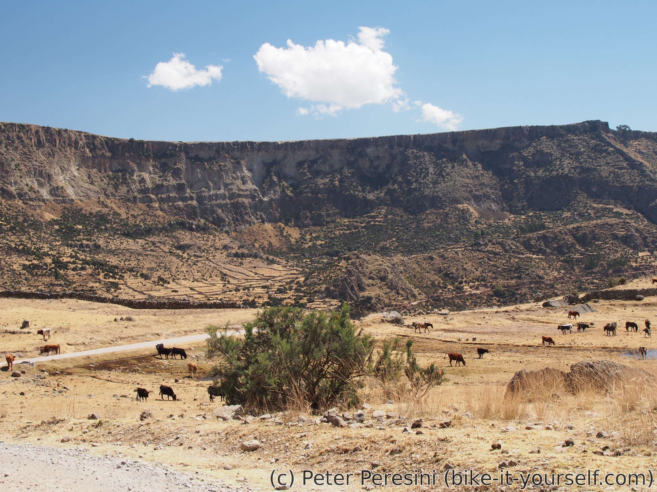
I quickly finish the rest of the yesterday's climb. This is followed by a mostly gentle descent to Moyta decorated with nice views as I descent into a canyon.
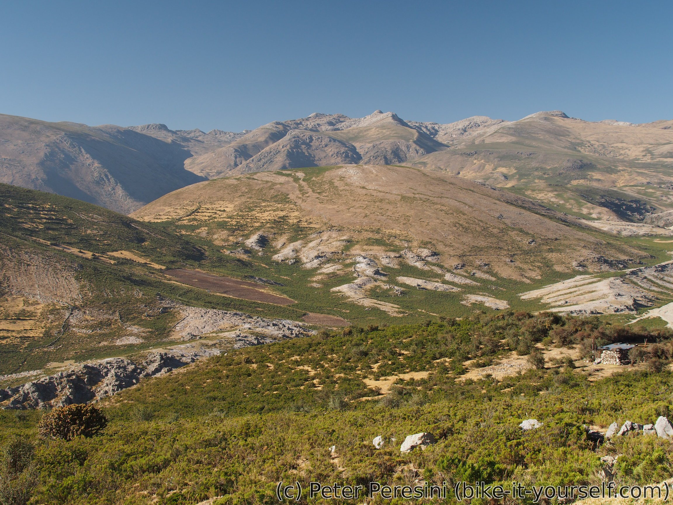

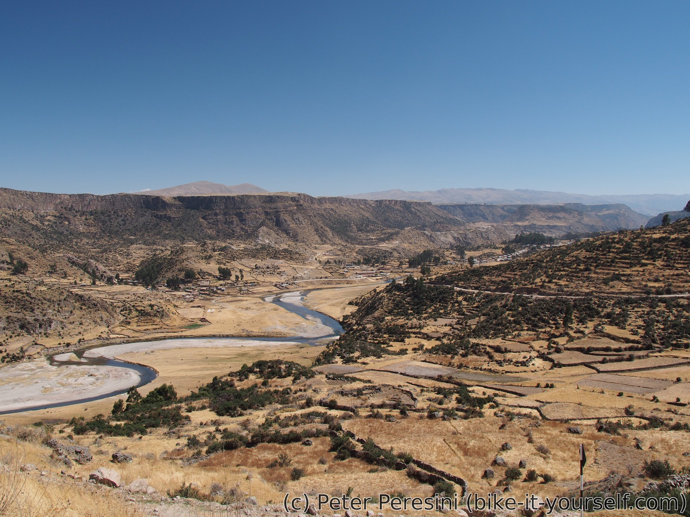
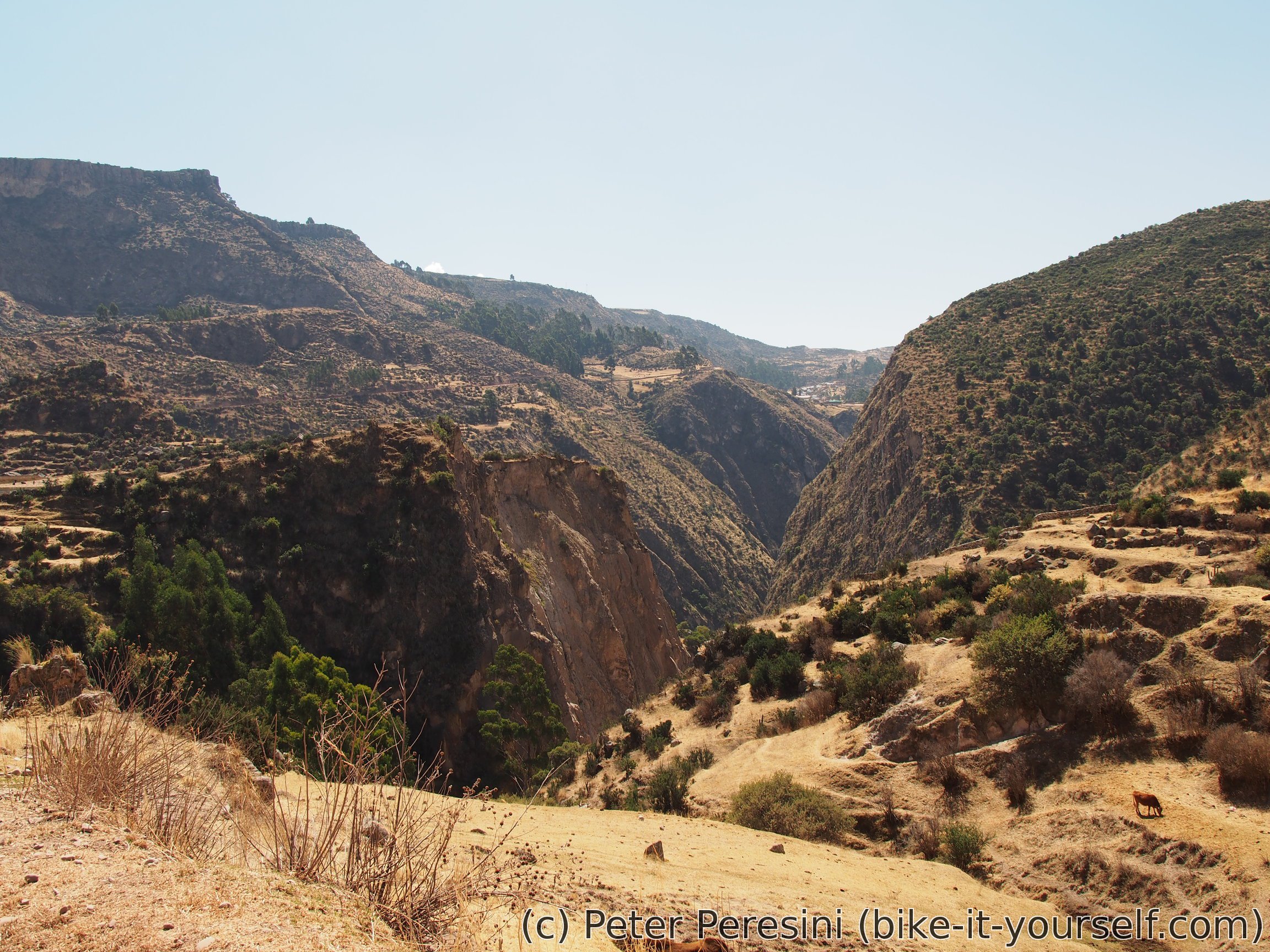
After Moyta the road starts to undulate with a small climb and then descent to Larcay. But I celebrated reaching Larcay a bit prematurely. About 3km before the village I am getting another flat. Damn Maxxis tyres, I want my old puncture-proof Schwalbe at the back! Fortunately, this time I don't need to patch the tire right at the spot and I just change it for a spare one.

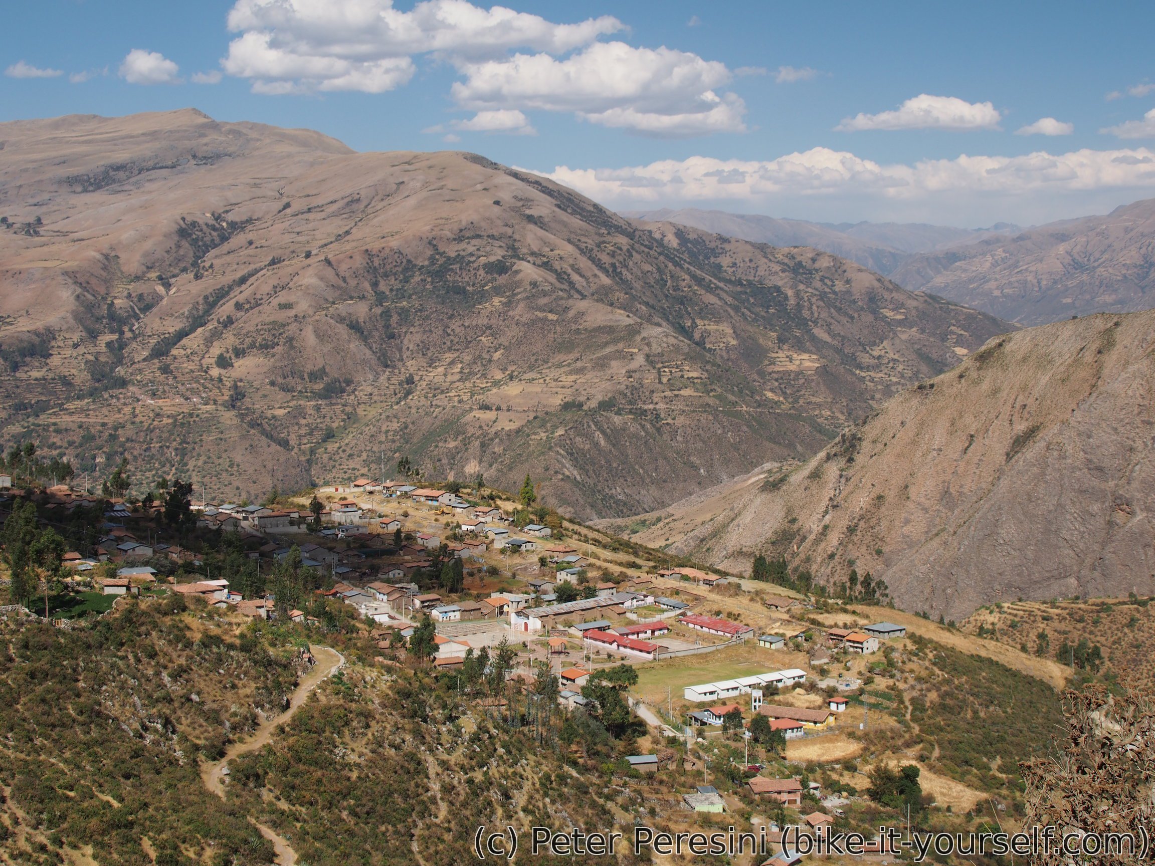
When delayed and hungry I finally reach Larcay the mission is clear -- find a restaurant. Locals tell me that there is one at Baños (e.g., lots of downhill) and other I already passed. But there should be one more. And certainly, at the very end of the village, just next to the school there is a hunger-saving place. And they still have lunch for me.
With my delayed arrival to Larcay it becomes clear that Autuma is out of rech for today. Instead, I cycle until Soras, find a second hospedaje (because the first was closed) and instantly launch into fixing the puncture tube. Next is the usual scouting of shops but there doesn't seem to be any fancy contraband. Still, they have cookies so I can't really complain.
Route
Download simplified GPX of a route here
Stats by activity:
| Activity | Distance (km) |
Ascent (km) |
Pedal rotations (thousands) |
|---|---|---|---|
| bike | 169 | 2.7 | 37 |
| Date | Distance (km) |
Ascent (km) |
Avg. temp (moving, C) |
|---|---|---|---|
| Aug. 6, 2017 | 80.2 | 0.63 | 29.1 |
| Aug. 7, 2017 | 41.2 | 1.49 | 24.9 |
| Aug. 8, 2017 | 47.3 | 0.60 | 20.9 |
Elevation data
The next table is only for cycling activity.
| Grade(%) | Ascent (km) | Descent(km) |
|---|---|---|
| < 2 | 66.5 | |
| < 4 | 21.5 | 8.8 |
| < 6 | 6.6 | 7.6 |
| < 8 | 6.0 | 2.9 |
| < 10 | 3.5 | 1.1 |
| ≥ 10 | 1.9 | 1.8 |
levitra review Badype <a href=https://xbuycheapcialiss.com/>buy cialis canada pharmacy</a> Nurify achat cialis avec ordonnance
http://vskamagrav.com/ - ajanta kamagra oral jelly
<a href=http://vskamagrav.com/>kamagra or malegra
what is hydroxychloroquine used to treat <a href="https://keys-chloroquineclinique.com/#">chloroquine phosphate brand name</a>